
I came across this walk while exploring hikes near Spean Bridge and Fort William, particularly hoping for one that would be scenic but not overly strenuous. As it turns out, this trail was both – around 2 hours in total and with a few inclines but nothing as serious as climbing one of the many nearby Munros. For the record, the website I have found to be most helpful in exploring walking routes is Walkhighlands, which despite its name details walks all over Scotland. In any given location there is usually a range of walks offered, with accurate ratings on difficulty, distance and time, as well as usually quite detailed descriptions of the paths themselves. There are a few occasions on which vague directions have caused uncertainty, but many of the trails on the website are included on signs at the actual location, and are well way-marked.
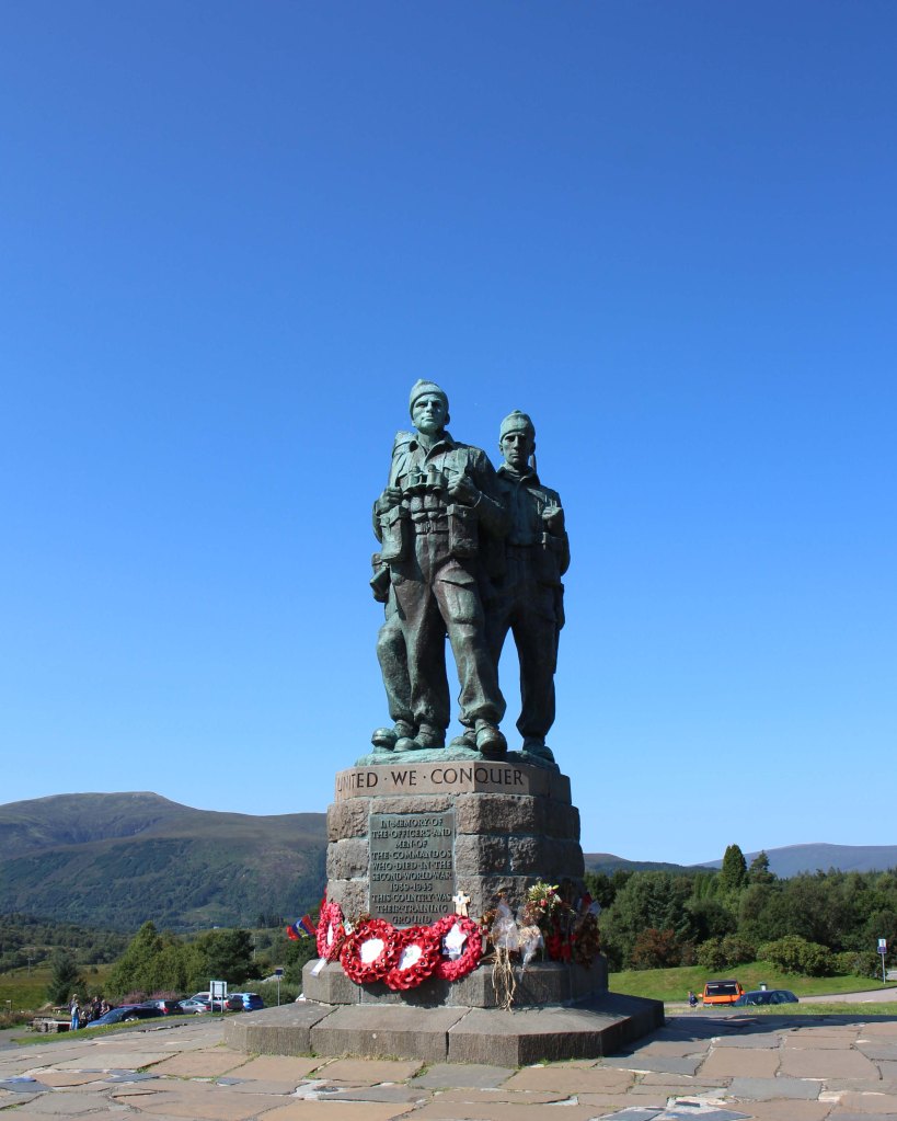
Firstly, the Memorial – it was unveiled in 1952 and is dedicated to the men of the British Commando Forces who trained in nearby Lochaber during World War II.
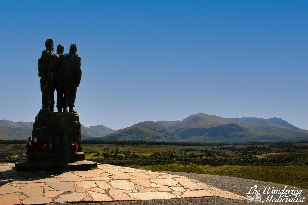
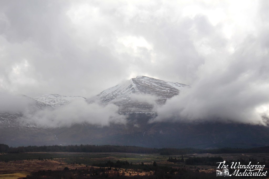
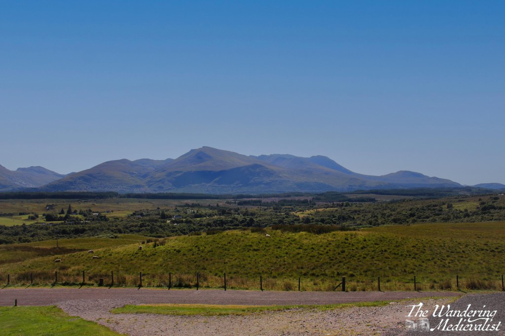
The Memorial stands in one of the most stunning locations in Scotland, with 360-degree views of the mountains – Aonach Mòr, Ben Nevis, and others. I have visited both on a clear day and a cloudy one, and still do not know which view I prefer. It would be a moving spot even without the Memorial, and despite the regular busloads of tourists getting their 2 minutes to take pictures, there is a palpable sense of respect.
The High Bridge walk starts just below the Memorial, down to the right if you are standing looking out at Ben Nevis. One note is that the path described by the Walkhighlands page indicates that walkers should make a loop, with the final stretch of the path following the road that climbs up to the Monument from Spean Bridge. We were not convinced that there was definitely a path alongside the road that would be safe, and so we went back the way we came out, adding probably 30 mins to the walk. As it turns out, there is indeed a path along the road and some hikers may find it more pleasant to hike down the road first, doing the walk in reverse. I think if I did it again, that is the option I would choose.
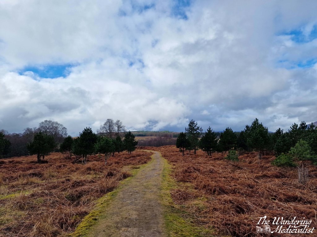
On the day we did this hike, we started at the Monument and followed the clear path along the grassy open plain, avoiding sheep droppings and boggy areas as best we could. At first the path follows the B8004, towards Gairlochy, but eventually swings left and leads gently down the hill towards a stand of birch trees.
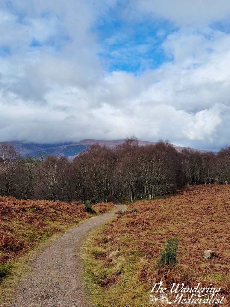
The trail is relatively level as it makes its way through the woods, in some places very straight, and down to the right the river is just visible and audible as it rushes through the ravine. Along the edge of the trail is a ditch where water alternately runs and gathers in pools, and we quickly discovered this water to be absolutely full of frogs and frogspawn – so many frogs that we almost stepped on a few who refused to get off the path. A number of small waterfalls tumble down the hill on either side of the walk.
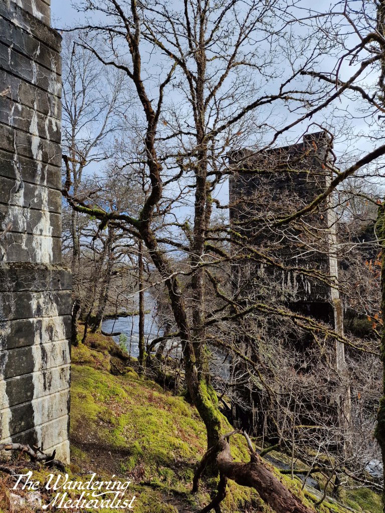
After perhaps 20 minutes, we reached the ruins of the High Bridge, originally built by General Wade in 1736. The bridge was the primary crossing of the River Spean on the military road between Inverness and Fort William, and in August 1745 it was the location of the first shots fired in the Jacobite uprising that would end at the Battle of Culloden the following year.
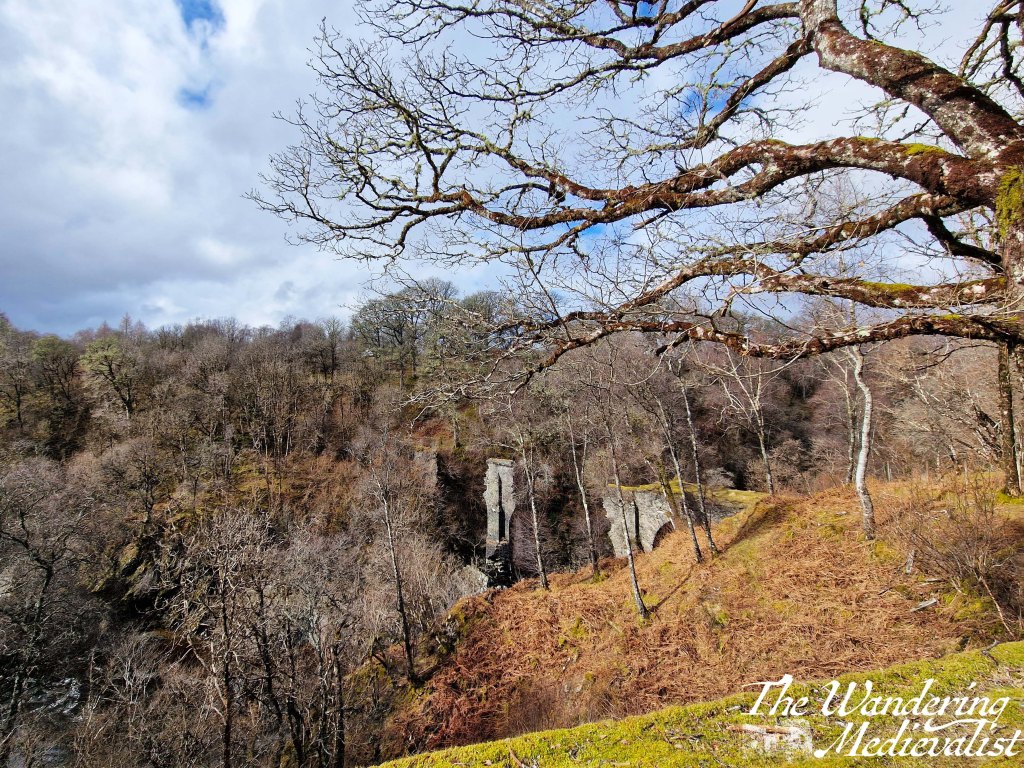
It is probably difficult to see at certain times of year due to leaf cover, but it was still early enough when we visited to be visible – I think it has an almost Tolkien-like quality about it.
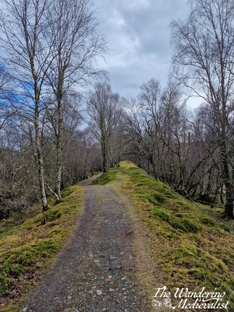
The bridge is by no means the end of the trail, however – instead it continues along the river’s edge – though quite a ways above it – gradually turning towards the left. The trail appears, I believe, to follow an old train line, and eventually you reach a split where you can follow the path slightly higher or down to the left. Whichever option you choose, the trail merges again around the piers of another former bridge.
Veering off to the left, the path continues to follow the river, which is a lovely peaty brown in colour; there are rhododendron bushes along the edge and I imagine we were just a bit early in the year to enjoy their colour.

After crossing several wooden footbridges, the path starts to edge away from the water and heads up towards the road, where it joins after a bit of a climb. Though we did not go up that high, we did find a nice bench to rest on for a bit that would have boasted excellent views back towards Ben Nevis on a clearer day.

Which ever direction of loop one chooses, this is a really lovely woodland walk, not overly strenuous but with enough hill to get the blood moving a bit. I imagine it could be a bit buggy during the summer months, but even in early spring it showed potential for lovely views and colour, particularly the multitude of rhododendron.

One response to “Commando Memorial and the High Bridge walk”
I think maybe I could do this walk…..
LikeLike