Both my other half and I agree that our first weekend away together to Glencoe many years ago remains one of our best trips ever – we went in April and were lucky enough to experience two glorious sunny spring days, warm and completely dry. We stayed at a hotel in Ballachulish on Loch Leven, close to the village of Glencoe (note, there is also a Loch Leven in Fife, which boasts a lovely castle I will write about in the future). For weeks ahead of time, I excitedly read through my Pathfinder Guide to Fort William and Glencoe, marking the walks I thought we could do to really experience the mountains and surrounding area.
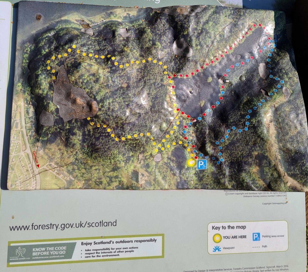
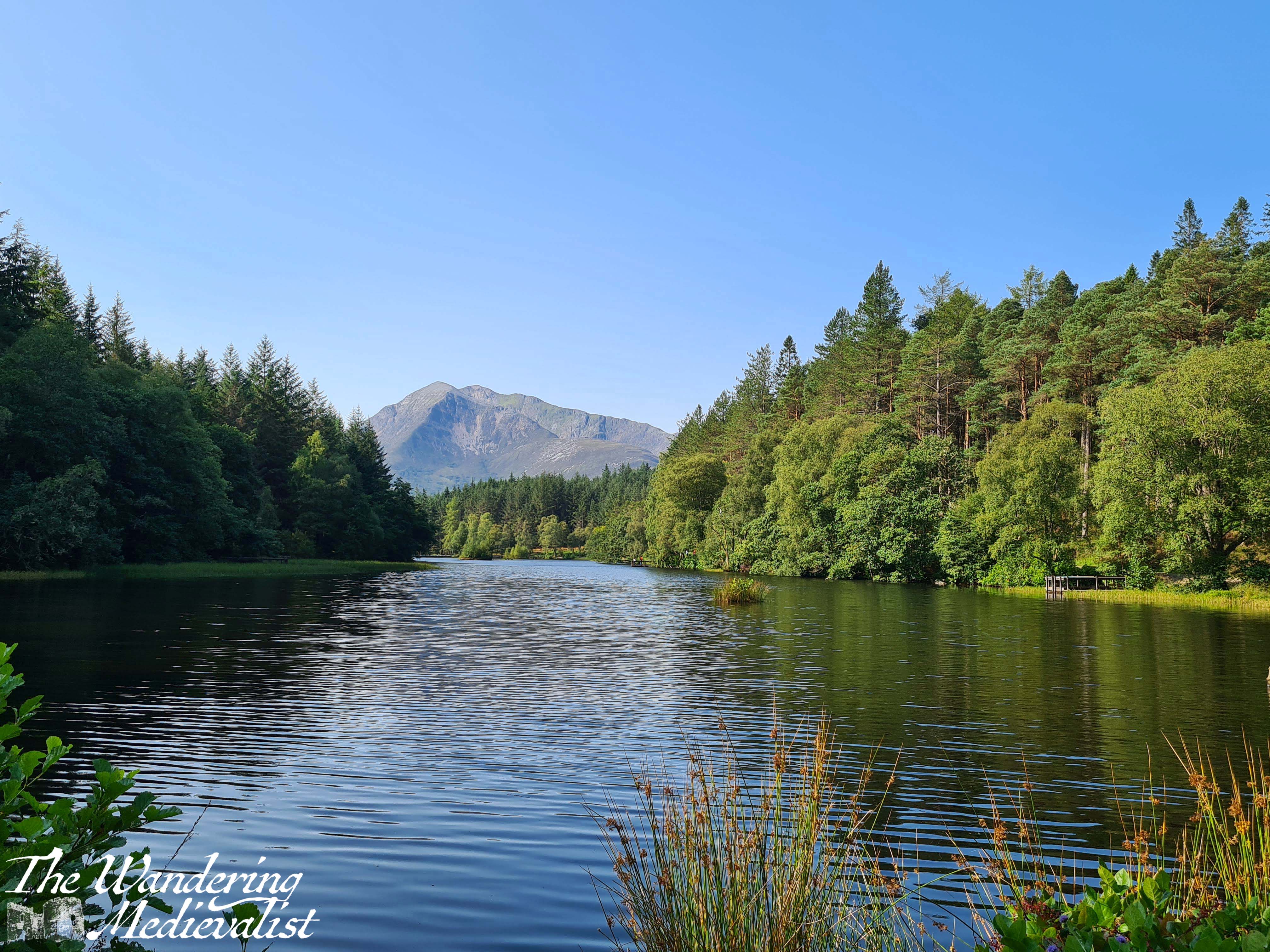
This series of walks around Glencoe Lochan was one of the last we did, but also one of our favourites. The trails start in what is now a well-marked car park, and there are three options. The shortest, and the one that is advertised as being wheelchair and pram accessible, is the red trail.
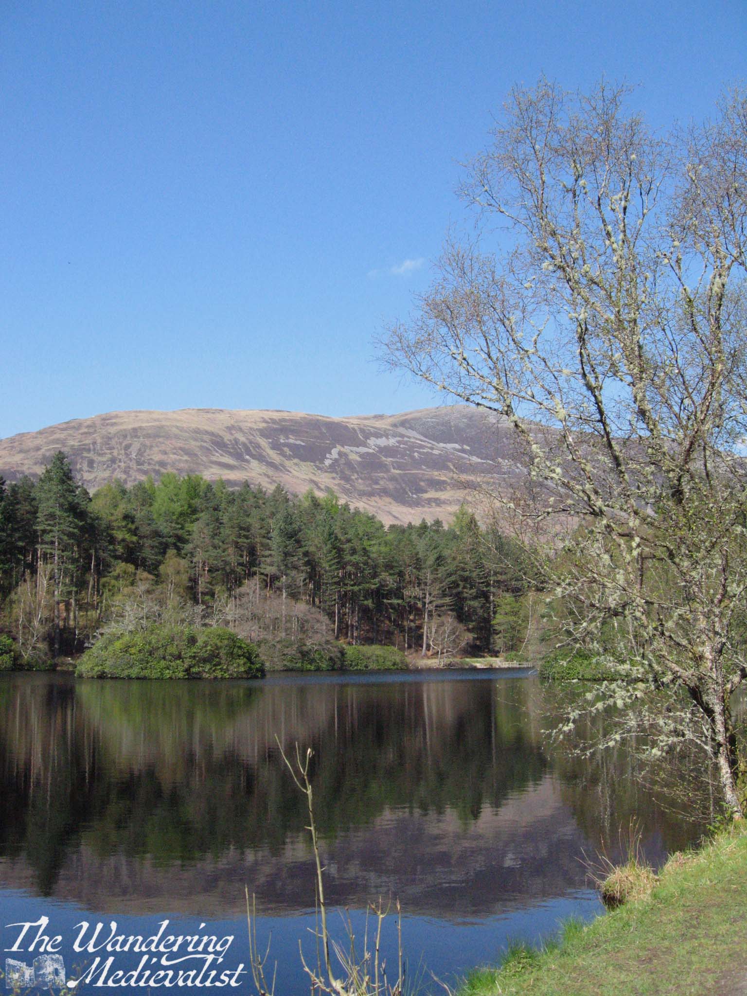
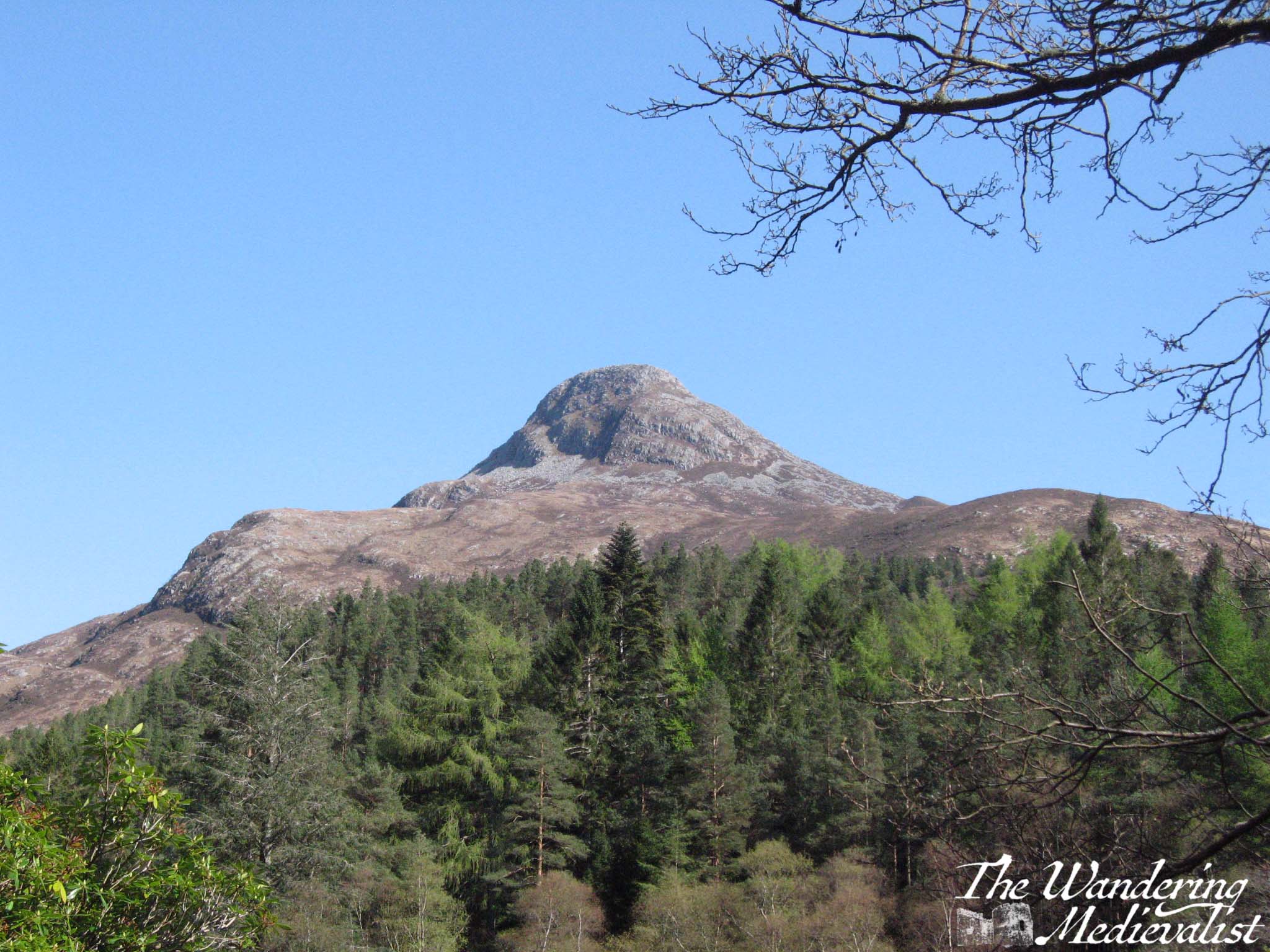
Though the shortest, the red trail is by no means hampered by lack of a view – in fact, as it circles the lochan (small loch), it boasts some of the most spectacular views of the nearby mountains including the Pap of Glencoe (the pointiest hill you see below).
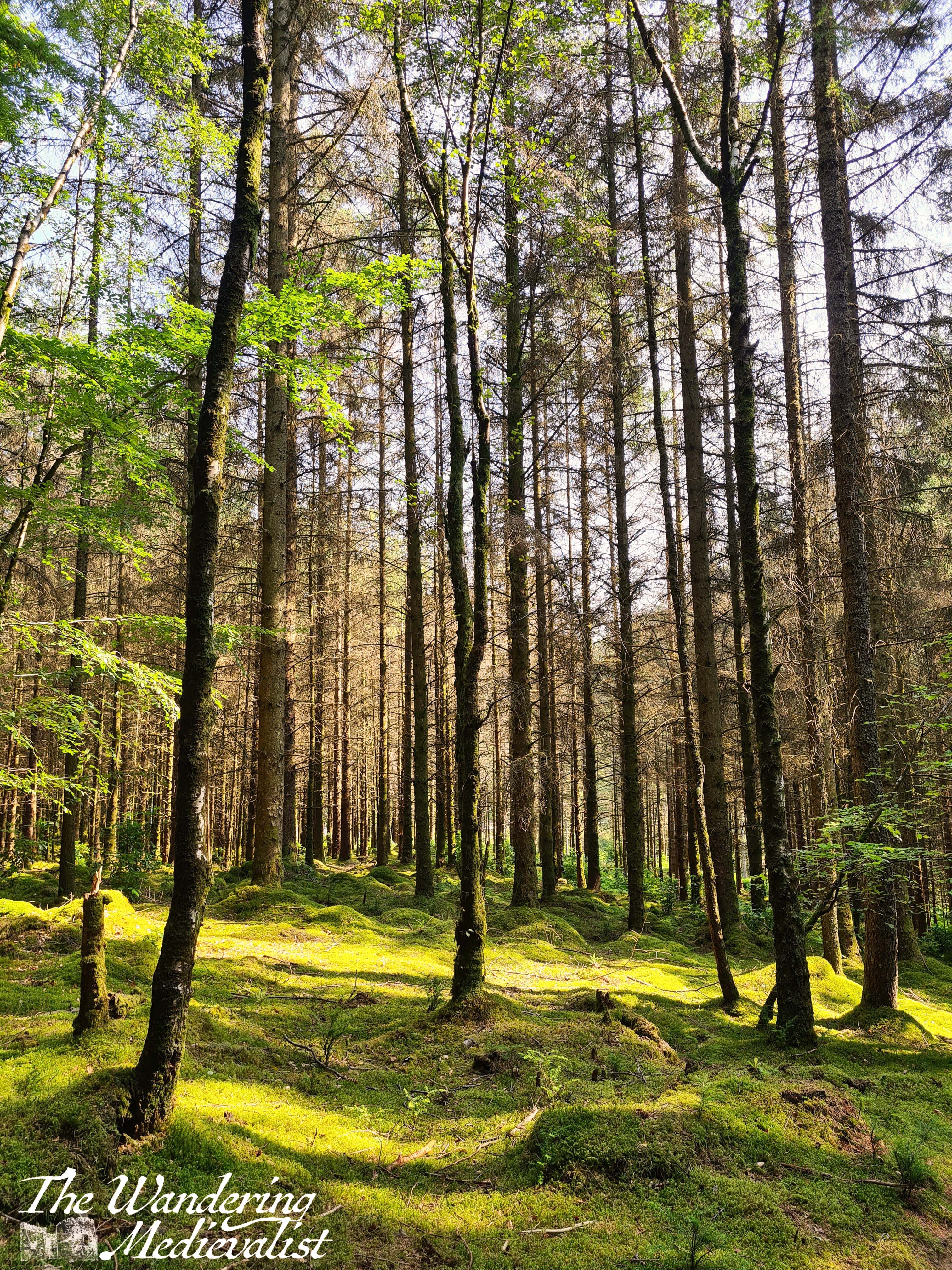
The blue trail is arguably the most challenging as, while not particularly long, it does boast a few very steep bits, both up and down. It also, however, offers a gorgeous path through trees and heather with the mountains just visible in the distance. There are also a few good stopping points with picnic tables and cleared brush so that you can enjoy the view.
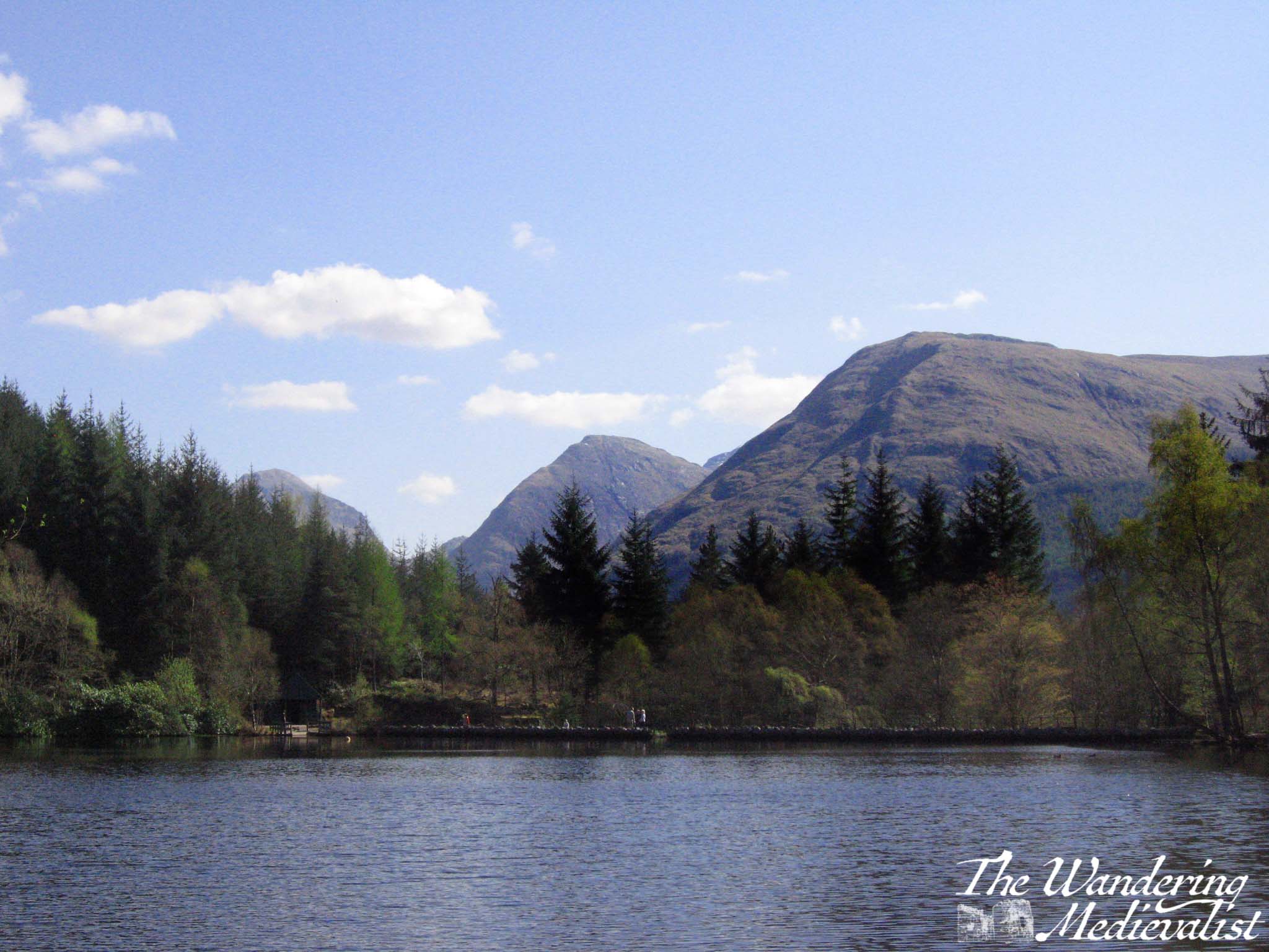
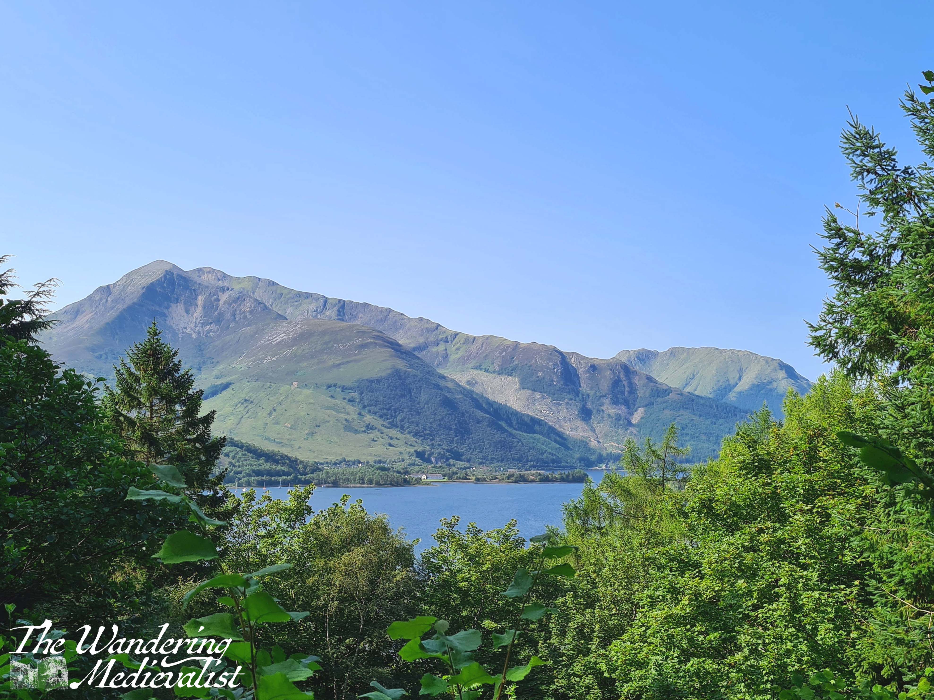
The blue trail eventually cuts downhill back towards the lochan, and joins up with the other two; even after the steep climb we were still ready for a bit more exercise so left the red trail to follow the yellow, which is also mostly wooded but includes a few stunning viewpoints out towards Loch Leven and the mountains to the north.
The whole outermost circuit taking in all the trails was just over an hour but could probably be extended if you did the red loop as well. It’s also a great option if you have a member of your party who isn’t particularly mobile, as the red loop is gentle and has plenty of benches to stop for a rest, but still enables one to see the view. Perhaps one of the nicest aspects of this area is how close it is to the village. After the walk, we drove down into the town and were able to stop into the shop for fresh water and a snack, as well as use the very clean public loos – they were not free, but I’m always happy to pay if it means the facilities are clean!
All in all, an absolute must for anyone staying in the Glencoe area!
When I was young, it was quite common for me to spend time in the White Mountains: cross-country skiing, hiking, camping, and exploring the many rocky rivers that became a love later in life. During our recent trip to New England, I insisted that the other half experience this region and in particular its chief attraction, the roof of the world in the Eastern USA – and so we booked tickets to reach the summit of Mt Washington in the only way feasible for us at the time: the Cog Railway.
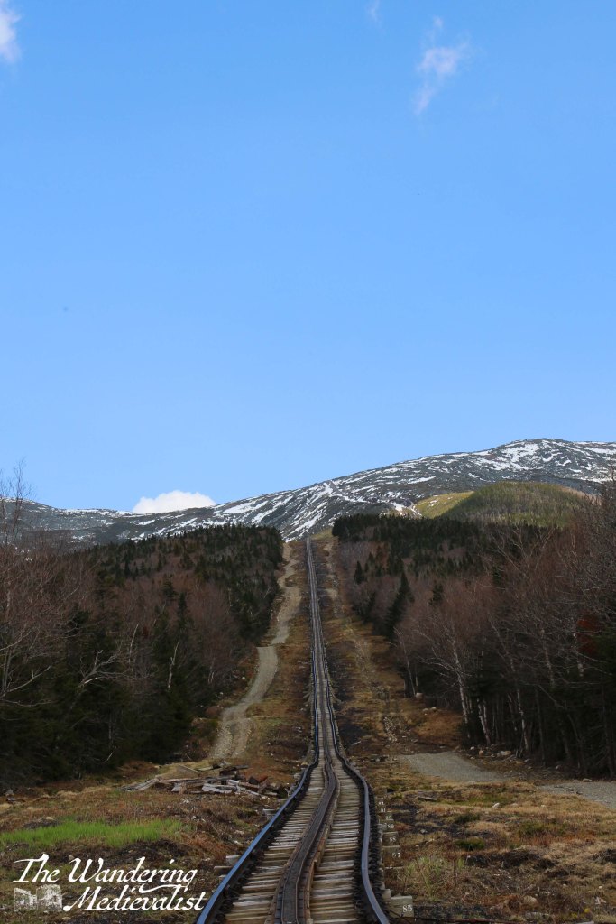
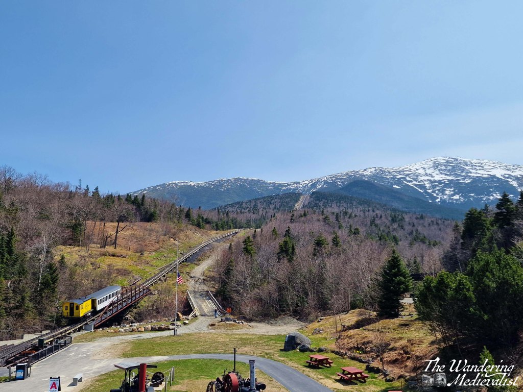
While not the least expensive attraction in New Hampshire, the Cog Railway is fascinating and worth every penny. At more than 150 years old, it is the first mountain-climbing cog railway in the world, and the second-steepest: one spends a good deal of the trip travelling at a 25% grade and sometimes steeper.
One of the first things we noticed upon arriving at the Base Station was the impressive variation in license plates in the parking lot – from all over the Eastern seaboard as far south as Georgia, and north into Canada – Quebec and New Brunswick stand out. So clearly, this is a popular attraction. At the time we were visiting, second week of May, we managed to fall between busy points in the year – the auto road had only JUST opened, the snow for skiing was mostly gone, and the summer hikers had not yet arrived.
The Base Station is a great starting point – it has an extensive snack shop and a great souvenir store that was quite reasonable. It also boasts a small museum that is really informative about the engineering and building of the railway. It also has excellent views up the mountain, and as we were a bit early (mea culpa) we had plenty of time to enjoy the clear, sunny skies.
The rail car itself is quite comfortable, and the staff are incredibly knowledgeable, spouting intriguing facts about the flora, fauna, climate, and history of the mountain.
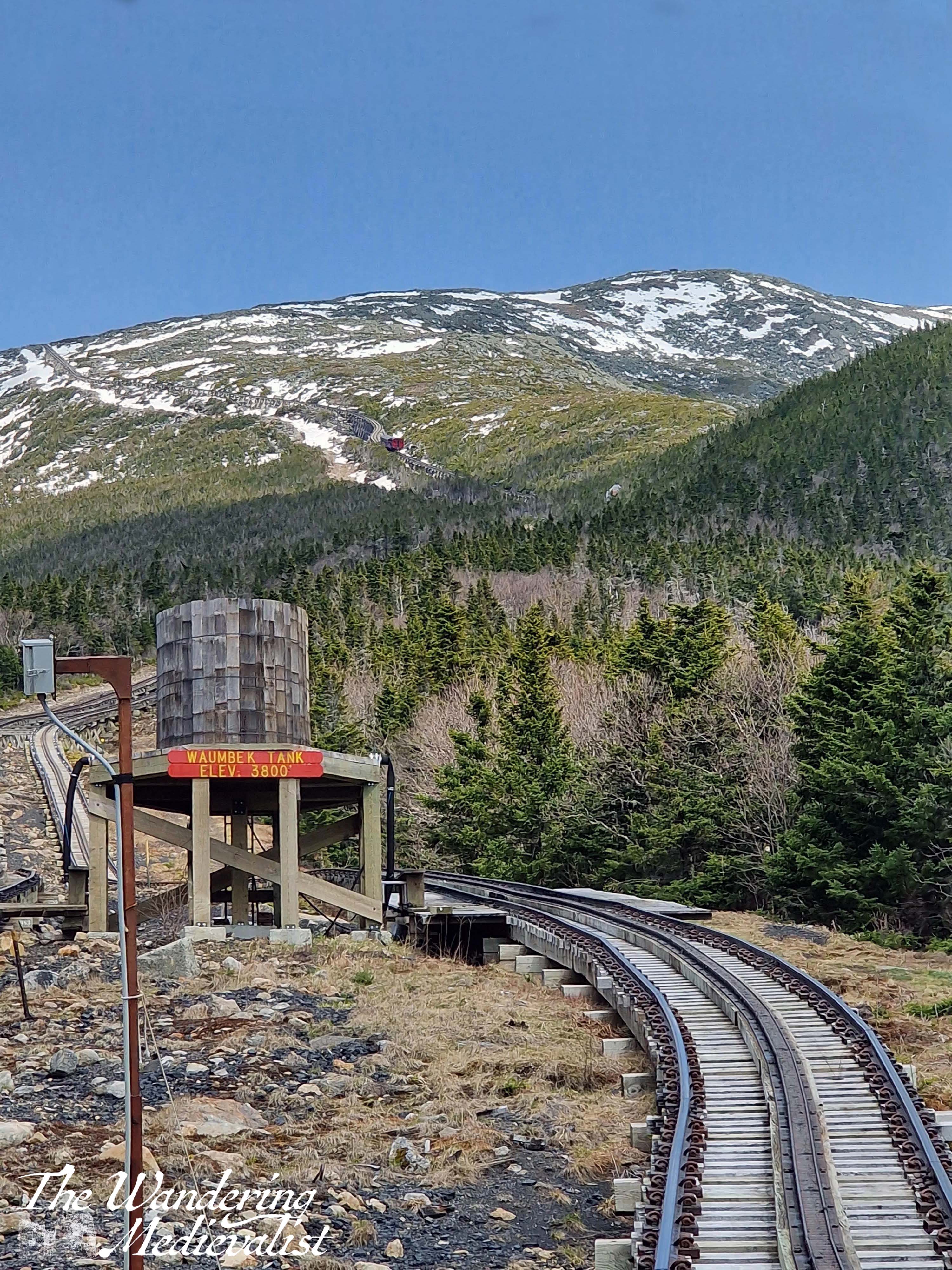
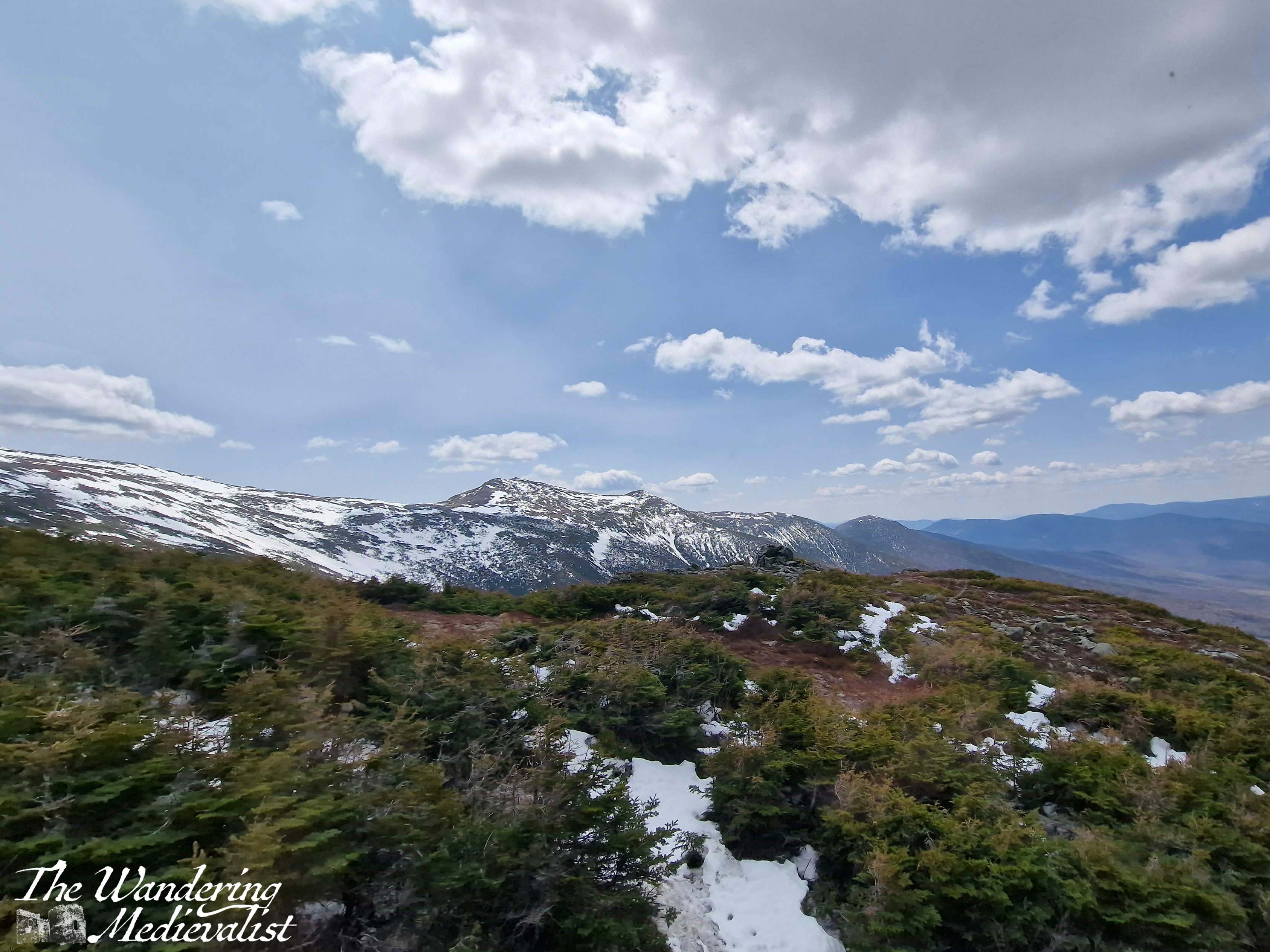
I found the journey up the mountain to be fascinating. Though the train moves relatively slowly – around 5mph – it passes swiftly through the different biomes, spending quite a bit of time winding through the high forest where trees are stunted by the wind, and are dotted between rocks and snow drifts. Along the way you pass the Wambeck Switch, where the rail splits for a short time and allows trains to pass one another, and several very steep stretches of track which were a touch nerve-wracking. But then the views started – we were on the right-hand side on the way up and so enjoyed looking towards the Lake of the Clouds and the ridge of the mountain where the Appalachian Trail rises towards the summit.
Reaching the top was perhaps the most exciting part – the trees and rocks vanished into snow, and we could see the observatory rising in the distance, looking almost like a space station. Then as we all prepared to get out and explore, the conductor announced that if we couldn’t handle 60 mph winds, we should stay on the train and go back down. This got the adrenaline pumping, and we both suited up with hats and coats before venturing outside.
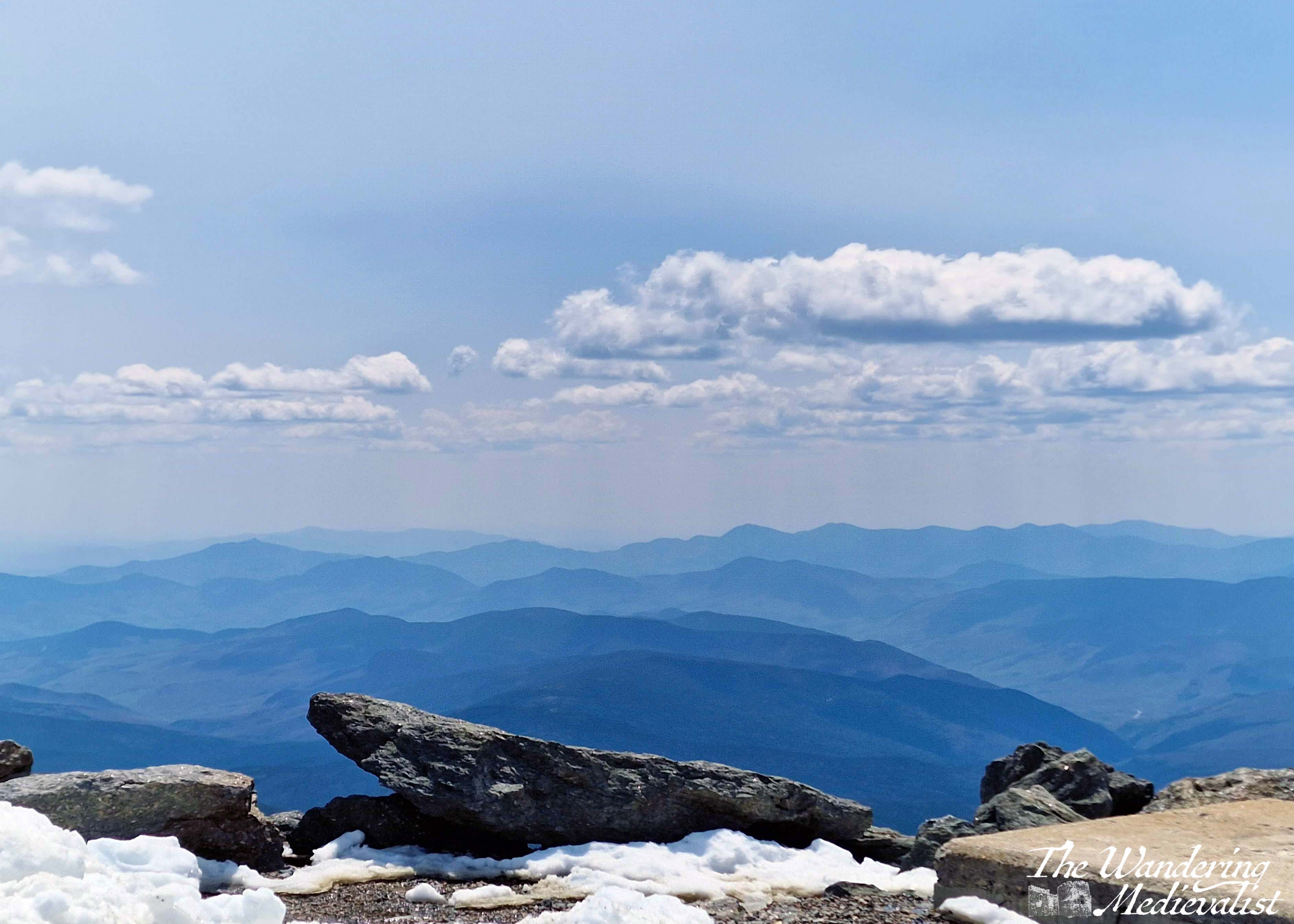
The summit area was quite busy, though I imagine nothing like it is in the summer, and the visitor centre was not yet open for the season, so we made a slow, clockwise circuit. While it was certainly windy it was not overly cold – 45F or so – and the biggest issue for me was my sneakers, which did not boast enough tread for snow and slushy puddles. Even on a slightly hazy day the views were spectacular, 360 degrees of mountains and valleys and ski resorts. At various points, hiking trails were evident marked by stone cairns, disappearing over the edges in the distance.
What stood out most though was the wind – the strongest I had felt in many years, I am sure there were gusts well over 60 mph, and at times I struggled to move; the other half had a great time leaning over to test how far he could go before falling.
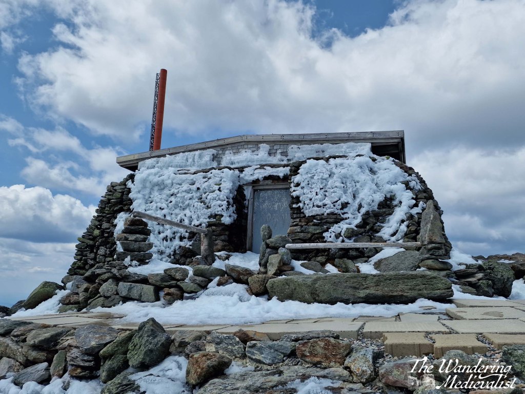
This is the Tip-Top House, adjacent to the summit, built in 1853. We did manage to make it up to the summit sign despite slippery icy snow and wind – picture is not the best though! Long story short, I would love to come back on a less hazy day and explore the observatory during the season!
The trip back down the mountain was equally spectacular, especially as we managed to sit on the other side of the car and enjoy views in the other direction. If at all possible I highly recommend this option – switch sides and enjoy the full range of views. I was also pleasantly surprised to discover that my fear of heights did not overly impact the way down, even on the steepest parts of the track where the ground falls away quickly at the edge of the rails. I took far too many pictures to upload here, so I’ve put together this slide show to show off the full range:
When it comes to border abbeys, Scotland is spoiled for choice. Many of the names echo in my head from years studying history but also reading excerpts of my roommate’s PhD thesis, but until a few years back I had never visited any of them, usually preferring castles. Then in 2017 we were looking for a new place to go for a short weekend away, and eventually settled on Jedburgh, a small but comfortable border town within easy driving distance of most of the major abbey ruins. It was a glorious sunny weekend, and I chose for our daily outing to visit Dryburgh Abbey, for no particular reason other than it was a bit closer than Melrose. I am so pleased I did!
Less well-known and probably less photographed than Melrose, and certainly less complete than nearby Jedburgh, Dryburgh Abbey is situated in a woodland, in a loop of the River Tweed. The trees provide a tranquil surrounding that allows visitors to appreciate the solitude of a monastic life.
Dryburgh was founded in 1150, with the first abbot arriving in 1152, and suffered several attacks over the years, particularly in 1322 by the retreating English army under King Edward II and again by the armies of Richard II in 1385. Several times it rallied, supported by various nobles and bishops of Glasgow and St Andrews, but was finally destroyed in the 1540s.
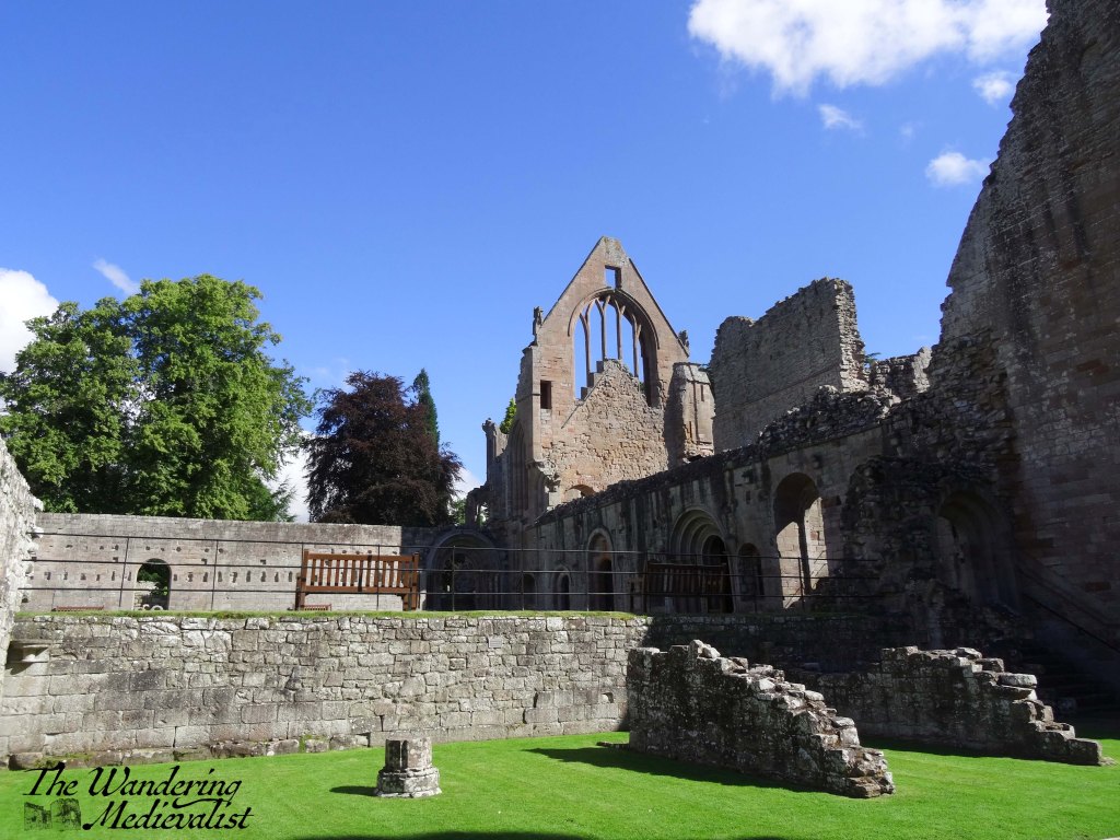
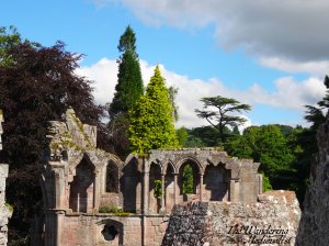
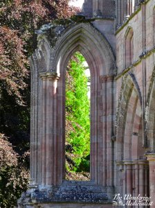
What is left allows for a good sense of the scale of the abbey. The pinkish-red stones are stunning in the sunlight, the shapes of the windows and arches still eye-catching.
There is plenty to be explored and learned, and there is something about the ruins of the perfectly geometrical architecture that is quite moving. If you are making a tour of border abbeys, definitely make sure this one is not forgotten!
We have not long returned from a trip back to the States, and are still fighting to get over jet-lag. The motivation was of course to visit family, but also to introduce the other half to parts of New England he had not yet visited. While we have done plenty of exploring around Marblehead, Boston, and Hanover NH, I wanted him to get a feel for the coast of Maine and the White Mountains, and so we planned a circuit that would cover both in just a few days. It was far from in-depth, but it was a start, and a return for me to areas I had spent a good deal of time in as a child.
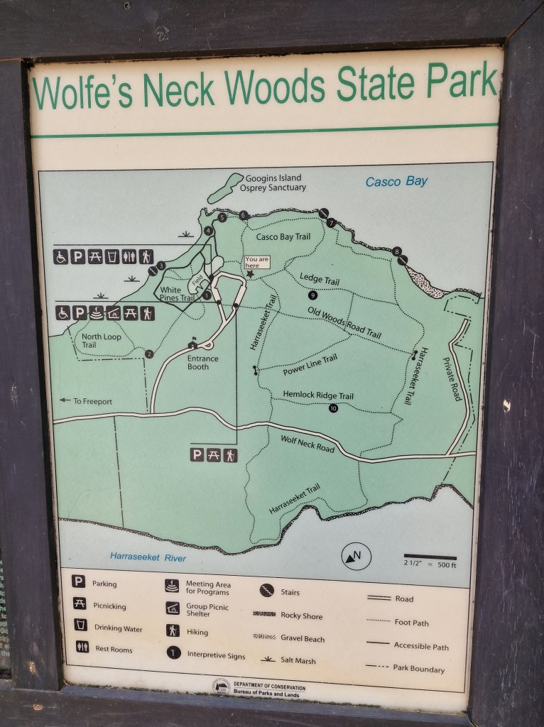
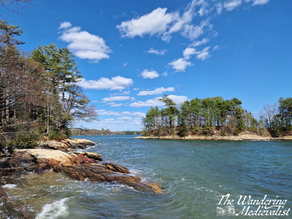
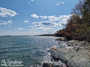
Our first stop was Freeport, Maine. Yes, to visit LL Bean (my family has a tendency to give out vouchers for Christmas) – but also to see a bit more of the town and the local area. This walk was recommended by a friend who knows the area much better than we do, and it was a fantastic option – only about 10 minutes from Freeport by car, and with a range of trails that could be a day’s adventure or only that of an hour. The paths are well-kept and wander along the gorgeous coastline as well as what I would consider ‘standard’ New England forest – lots of pine, birch and maple.
One caveat, there is a daily parking fee of about $6, but it is well worth it if it keeps the trails in this good shape.
We chose to try the Casco Bay Trail, as we had been in the car for a few hours and wanted to stretch our legs, but also had a time-limit to check into our Inn.
There is a large picnic area just beyond the parking lot, and I could easily see how this could be a great day trip for families, while more serious hikers could follow the loops of trails for a longer walk.
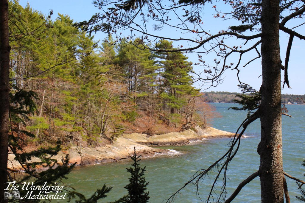
Almost immediately, we found ourselves facing the glorious Maine coastline. I am an absolute sucker for any view of trees leading right down to the rocky shore, and the scent of the dry pine needles on the forest floor sent me right back to my childhood summers in Canada.
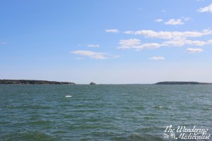
The angled slate rocks here also reminded me strongly of the coast of Scotland, though paler and a bit less jagged. Along the water there were a number of view points over the bay and coastline. We then turned up the hill at the edge of the park and after a short – and relatively steep – climb, cut across to walk through the forest, where what I am relatively sure are blueberry bushes were abundant.
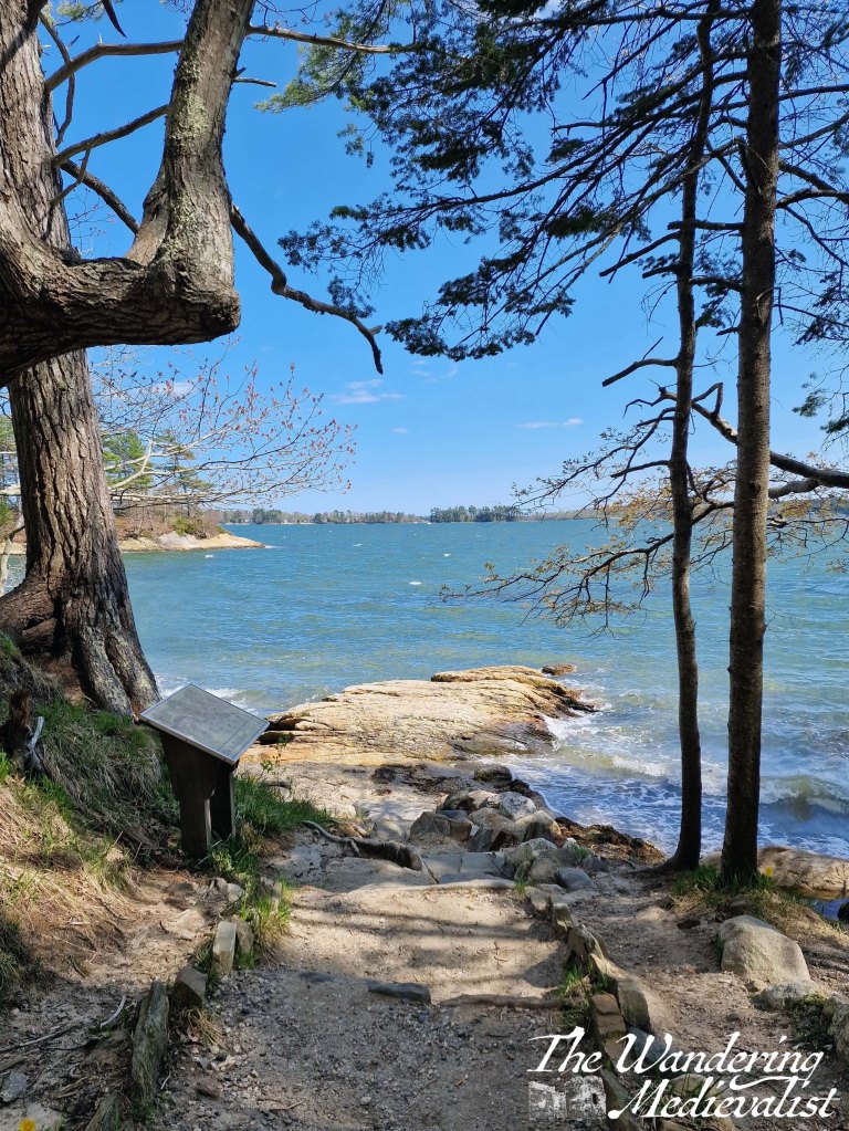
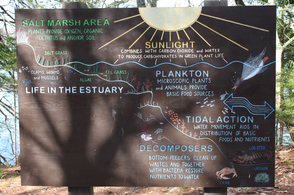
It was almost painfully windy, but the sun and blue sky made for an absolutely stunning day and walk. I also love that Bureau of Parks and Lands has put up information plaques along the way, telling visitors about the islands, flora and fauna of the area – perfect for kids and families, and those not familiar with the area.
I actually wish that we had more time to explore, and would definitely return here armed with a picnic. Both Scotland and New England are wealths of opportunity for walks and hikes that allow you to explore in a way you never could from a car, and it is particularly nice to find a walk so close to a place to which I know we will return – our love of all things LL Bean is too strong to ignore!
Full disclaimer: this post should not be considered anything other than pure geeky historian fun.
I was trained in Medieval History at St Andrews, where for the most part, the dividing line between Medieval and Modern History was about 1500; in the British Isles, this can be marked by the Battle of Bosworth Field in 1485 and the accession of Henry Tudor as King Henry VII. The actual division is relatively trivial, except in one aspect in which I take it personally: the Tudors, particularly Henry VIII and his wives, are not medieval.
Why does this matter? Because at about 90% of pub quizzes, any history section will include a question about Henry and his wives. Then the team will turn to me: you must know this, you studied medieval history.
Well, yes, I did and do – but not the Tudors. Annoyingly enough I tend to know the answer anyway, but when I studied my Late Medieval History module, it ended with Richard III. On the continent, ‘medieval’ tended to fizzle away with the end of the Hundred Years’ War and the peasant rebellions. Much of this really depends upon the definition of the word ‘medieval’, and there is plenty of scholarly debate on whether it is accurate or in any way useful to define eras like this.
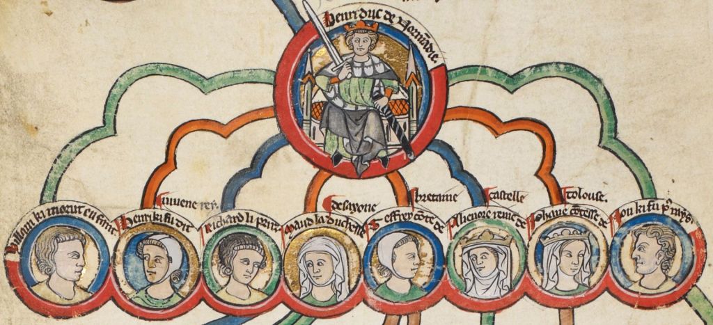
But that’s not the point of this post. What it really comes down to is the attention the Tudors get – books, TV shows, movies, all obsessed with Henry and his inability to sire a son, his insane relationships with women, the politics around his reign and those of his daughters. While I loved Cate Blanchett as Elizabeth, this is well past my time of interest and, more importantly, there is an equally – if not more – fascinating and dysfunctional historical English royal family waiting in the wings. And by this of course I mean the Angevins – Henry II and his sons, Richard I and John.
Richard the Lionheart, the evil Prince/King John – the basis of the Robin Hood myth: most people have heard of these characters, and their mother Eleanor of Aquitaine, one of the most famous of medieval queens.
As is evident to anyone who has seen the play or movie of The Lion in Winter, the Angevin royal family was properly dramatic, and I have always thought deserved an equally angsty and historically dubious drama. There are elder sons who are annoyed at their lack of power, younger sons who are their parents’ favourites, daughters married off but somehow still involved, affairs and heartbreak, illegitimate children, and of course, best of all, a family-led rebellion. I could see one season on Henry and Eleanor in their early years, starting with a furtive meeting in Paris and her flight across France after the end of her marriage to Louis VII, when she was pursued, quite literally, by lords and younger sons intent upon capturing and ‘marrying’ her. Then there are the early years of their reign, the Becket controversy and his death, and so much more. The side-characters are enticing, too: William Marshall, Louis VII and Philip II of France, Henry the Lion of Saxony, and Henry’s three daughters, all married off when young but still active in their parents’ lives and living fascinating lives of their own. There are even ‘spin-off’ opportunities if you want to go as far forward as King Richard’s reign and his crusade.
One of my favourite facts of all time about Henry II is that he was rebelled against in 1173-4 by an alliance including: his eldest sons, the King of France, the King of Scotland, most of the nobles in England, Normandy and Aquitaine, and his wife – but he won. Now of course historians might argue as to how much this was due to his skill and how much to the incompetence of the rebels, but either way, it’s a great story.
But there is more to it than just I like the Angevins better. The time of Henry VIII is infamous for the schism with the Pope and the naming of the king as the head of the Church of England, but it is worth observing that plenty of kings before Henry would have welcomed such a move, and Henry II during his arguments with Becket was hinting in that direction. Also, the marriage of Henry II and Eleanor of Aquitaine was without hyperbole one of the most significant royal marriages of the Middle Ages. Not only did it combine two powerful inheritances into an empire that stretched from Scotland to the Mediterranean, it also brought the Kings of England well and truly into the continental sphere. For a time, Henry II was – almost without argument – the most powerful man in Europe, commanding considerably more of France than the king of France himself. As I argued in my PhD thesis, the significance of these continental connections are mirrored in the many marriage arrangements made by Henry for his children – suddenly the English royal house was making regular alliances with the kingdoms of Spain, the realms of southern France like Toulouse and Savoy, even the Kings of Sicily. Spanish connections in particular were a significant part of English royal marriage policy from this point onwards, due to the throne’s interest in Aquitaine – and they would of course continue through to the time of the Tudors: Henry VIII’s first wife of course was Catherine of Aragon. Henry II’s reign transformed royal marriage policies and, arguably, English royal policies overall to have a much stronger continental interest, so much so that his son Richard would spend only six months of a ten-year reign actually in England. The next century’s Hundred Years’ War can arguably be traced back – at least partially – to the connections made by Henry’s marriage and those of his children.
So, rant over. But my belief in the supremacy of the Angevins over the Tudors will return, I am sure. And don’t believe me that the family was dramatic and fascinating? Watch the 1968 version of The Lion in Winter, starring, amongst others, Peter O’Toole, Katherine Hepburn, Timothy Dalton and Anthony Hopkins. I rest my case.
I came across this walk while exploring hikes near Spean Bridge and Fort William, particularly hoping for one that would be scenic but not overly strenuous. As it turns out, this trail was both – around 2 hours in total and with a few inclines but nothing as serious as climbing one of the many nearby Munros. For the record, the website I have found to be most helpful in exploring walking routes is Walkhighlands, which despite its name details walks all over Scotland. In any given location there is usually a range of walks offered, with accurate ratings on difficulty, distance and time, as well as usually quite detailed descriptions of the paths themselves. There are a few occasions on which vague directions have caused uncertainty, but many of the trails on the website are included on signs at the actual location, and are well way-marked.
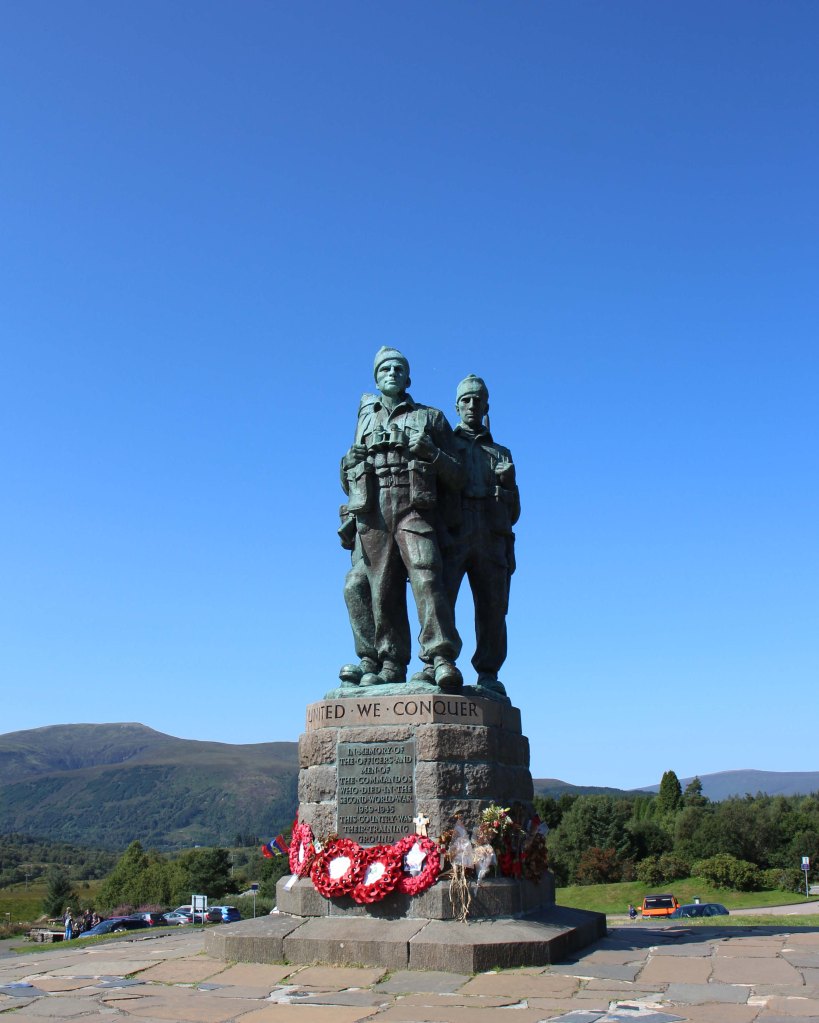
Firstly, the Memorial – it was unveiled in 1952 and is dedicated to the men of the British Commando Forces who trained in nearby Lochaber during World War II.
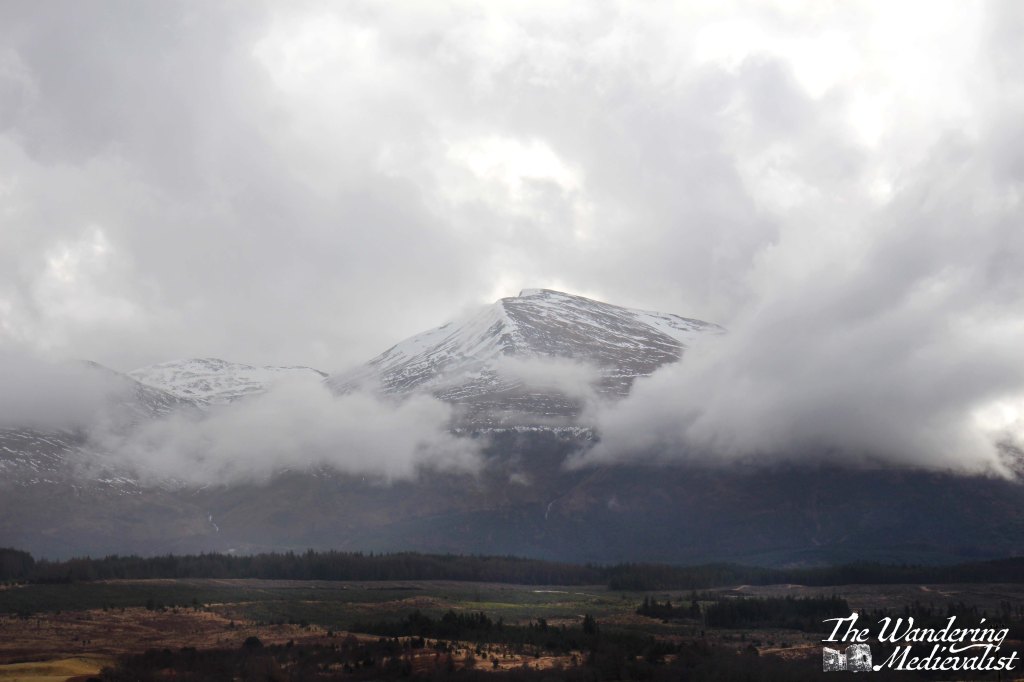
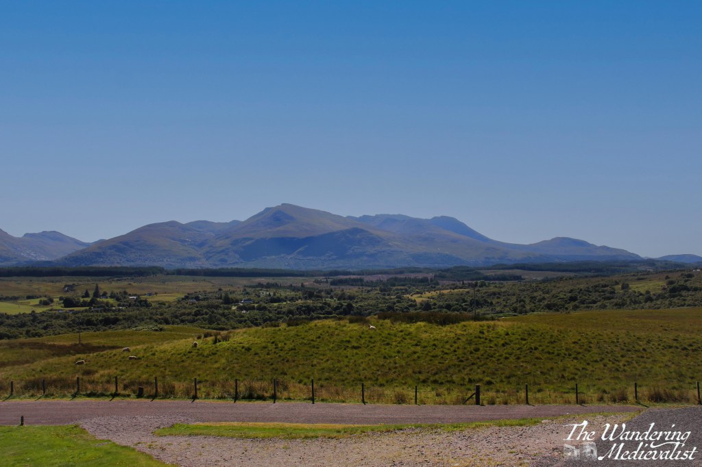
The Memorial stands in one of the most stunning locations in Scotland, with 360-degree views of the mountains – Aonach Mòr, Ben Nevis, and others. I have visited both on a clear day and a cloudy one, and still do not know which view I prefer. It would be a moving spot even without the Memorial, and despite the regular busloads of tourists getting their 2 minutes to take pictures, there is a palpable sense of respect.
The High Bridge walk starts just below the Memorial, down to the right if you are standing looking out at Ben Nevis. One note is that the path described by the Walkhighlands page indicates that walkers should make a loop, with the final stretch of the path following the road that climbs up to the Monument from Spean Bridge. We were not convinced that there was definitely a path alongside the road that would be safe, and so we went back the way we came out, adding probably 30 mins to the walk. As it turns out, there is indeed a path along the road and some hikers may find it more pleasant to hike down the road first, doing the walk in reverse. I think if I did it again, that is the option I would choose.
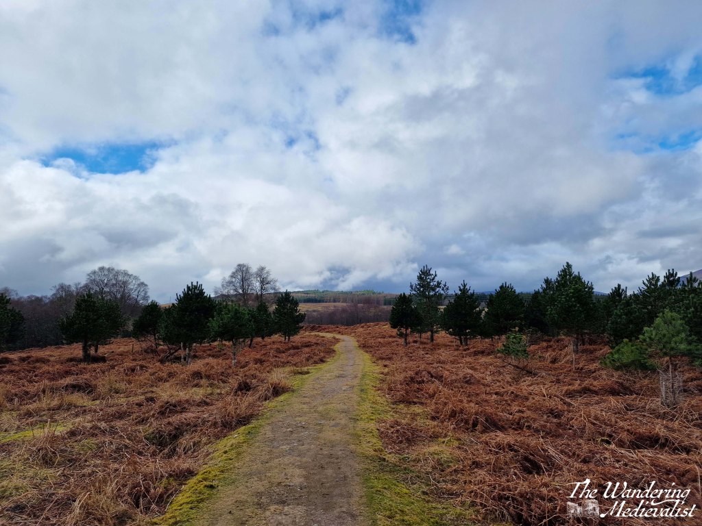
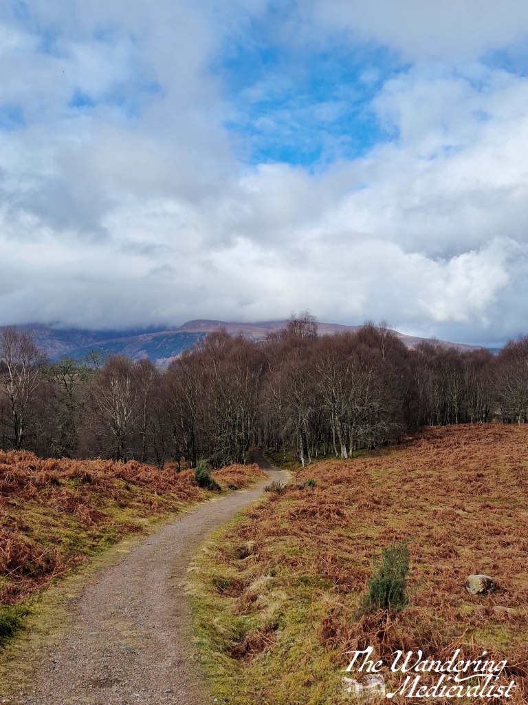
On the day we did this hike, we started at the Monument and followed the clear path along the grassy open plain, avoiding sheep droppings and boggy areas as best we could. At first the path follows the B8004, towards Gairlochy, but eventually swings left and leads gently down the hill towards a stand of birch trees.
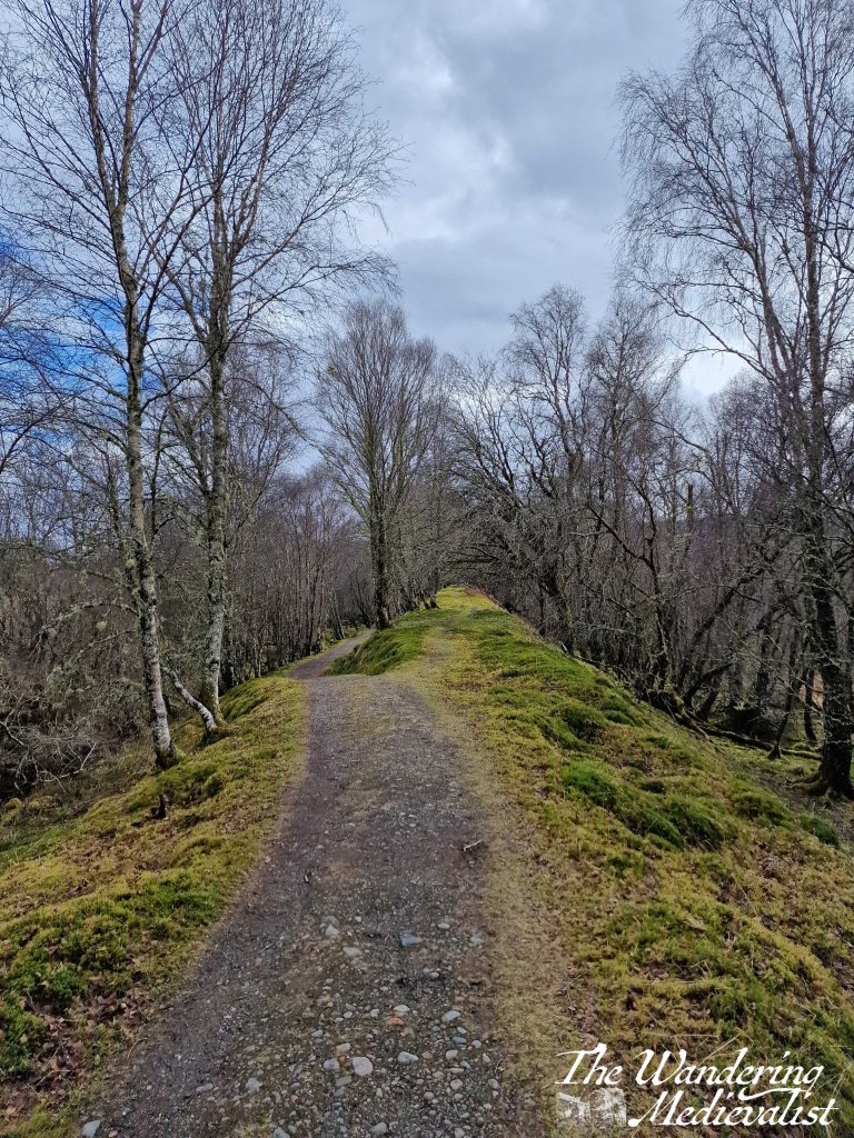
The trail is relatively level as it makes its way through the woods, in some places very straight, and down to the right the river is just visible and audible as it rushes through the ravine. Along the edge of the trail is a ditch where water alternately runs and gathers in pools, and we quickly discovered this water to be absolutely full of frogs and frogspawn – so many frogs that we almost stepped on a few who refused to get off the path. A number of small waterfalls tumble down the hill on either side of the walk.
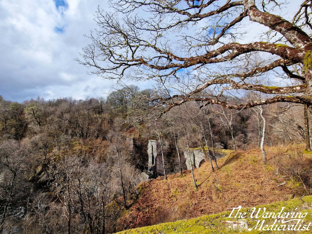
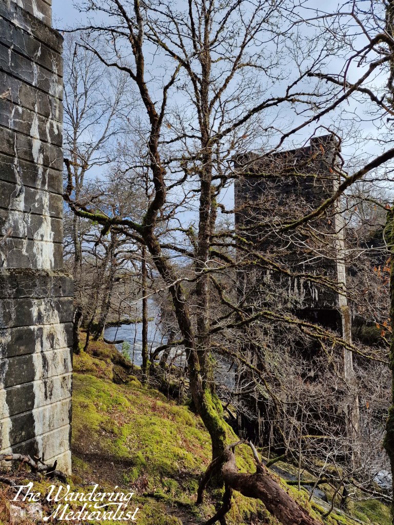
After perhaps 20 minutes, we reached the ruins of the High Bridge, originally built by General Wade in 1736. The bridge was the primary crossing of the River Spean on the military road between Inverness and Fort William, and in August 1745 it was the location of the first shots fired in the Jacobite uprising that would end at the Battle of Culloden the following year.
It is probably difficult to see at certain times of year due to leaf cover, but it was still early enough when we visited to be visible – I think it has an almost Tolkien-like quality about it.
The bridge is by no means the end of the trail, however – instead it continues along the river’s edge – though quite a ways above it – gradually turning towards the left. The trail appears, I believe, to follow an old train line, and eventually you reach a split where you can follow the path slightly higher or down to the left. Whichever option you choose, the trail merges again around the piers of another former bridge.
Veering off to the left, the path continues to follow the river, which is a lovely peaty brown in colour; there are rhododendron bushes along the edge and I imagine we were just a bit early in the year to enjoy their colour.
After crossing several wooden footbridges, the path starts to edge away from the water and heads up towards the road, where it joins after a bit of a climb. Though we did not go up that high, we did find a nice bench to rest on for a bit that would have boasted excellent views back towards Ben Nevis on a clearer day.
Which ever direction of loop one chooses, this is a really lovely woodland walk, not overly strenuous but with enough hill to get the blood moving a bit. I imagine it could be a bit buggy during the summer months, but even in early spring it showed potential for lovely views and colour, particularly the multitude of rhododendron.
While there are plenty of writers out there who have tackled the Middle Ages and indeed my favourite period of the Angevin kings of England, not one has done it as well as Sharon Kay Penman. I was first given one of her books when I was 16, and while it was seriously weighty – more than 750 pages – I was immediately hooked by the thrilling tale of the Empress Maude and her efforts to take the English throne from her cousin Stephen. The opening pages include a devastatingly emotional account of the White Ship disaster of 1120, and I was utterly fascinated by her ability to make you sympathise with both sides of a battle.
It didn’t hurt that Maude’s war with Stephen also happened to be the ‘prequel’ so to speak to the Angevin era, and towards the end of the book you meet a young Henry Plantagenet, cheeky and confident and full of energy. One can understand why Eleanor, widely acclaimed as one of the most beautiful women in Christendom, would fall in love with his charisma.
I can fully appreciate that not everyone might find her writing as comfortable as I do – the nuances of medieval politics, characters, and the family trees can be intimidating. Her final book, The Land Beyond the Sea, covering the life of Balian of Ibelin and the relatively short period of the Christian Kingdom of Jerusalem, was inspired I imagine by the research she did for her book on Richard the Lionheart on Crusade. While this era isn’t my specialty, I was able to follow the story, understanding many of the names and families. I did provide the book as a gift to another Penman-lover who did not know the history as well, and that reader struggled I think to keep all the history straight. Here are some of my many reasons why Penman remains one of my favourite writers:
Character development. I find her writing of people to be powerful, particularly her ability to show both sides of an argument or even a war. Villains are never outright villains, and even the most unlikeable characters are sympathetic at points, and often she makes an effort to explain the reasoning behind unpopular decisions or actions, even if the action is still not justified. Likewise, even the favourite characters, the heroes and heroines, are flawed – much as people are in real life.
Historical authenticity. Note I do not say accuracy – these are fiction books not textbooks and of course there is creative licence taken. Nonetheless, the in-depth research behind each book is evident in the care taken to have the right people at the right place at the right time, as much as possible. Furthermore, Penman will go into detail in the writer’s note at the end of each book, detailing where her chosen changes were, why she made them, and what the background of the history was. She also admits mistakes in some later re-publications of earlier works. I suppose the only criticism here could be that at times the story is so complex, with many historical characters sharing the same first name, that it can be difficult to follow for someone unfamiliar with the history.
Historical characters. I happen to agree with Penman’s ‘take’ on many of the historical characters she deals with. She has real sympathy for John, even through his most heinous acts, and her portrayal of Henry and Eleanor is spot-on. I confess that for me, Henry will always be Peter O’Toole in The Lion in Winter (which I am sure I will write about at another point). Penman is perhaps a bit kinder to Richard I than I would have been, but I have very strong opinions on the Lionheart…
Emotion. I have never managed to finish one of her books without, at least once, being reduced to tears. Her writing can be incredibly poignant, whether it is the defeat of an enemy, true love overcoming all odds, or the end of an independent Wales in the late thirteenth century, the death of Simon de Montfort and the heartbreak of his family, or the chilling helplessness of a woman struggling in childbirth, knowing her battle is for her own life and that of her baby. Her death scenes overall tend to be moving and often heartbreaking, her accounts of famous battles enthralling.
Despite their length, I have read and re-read most of Penman’s books multiple times, and it is incredibly difficult for me to rank them in terms of most or least favourite, though oddly it may be easiest to choose my least. Here is a quick run-down:
While enjoyable, I was less of a fan of her Justin de Quincy mysteries – but really only because I have such a devotion to two of her others series. I found Time and Chance, which focusses largely on the relationship between Henry II and Thomas Beckett, to be hard to follow due to the in-depth sections on the religious controversies, and my general distaste for Becket as a historical character.
The Welsh Princes series is phenomenal and covers most of the thirteenth century, but is also so phenomenally sad in places that I have to prepare myself for what I know is coming.
I’ve already mentioned her final book, The Land Beyond the Sea, which both stands on its own but also serves as a prequel in a way to Lionheart.
The Sunne in Splendour was her first book and covers the life of King Richard III, painting him in a much more sympathetic light than most historians would agree with. It includes, as most of her books do, wonderfully written depictions of medieval battles and a touching love story, a few solid villains and plenty of misunderstood relatives, and as usual, powerful women.
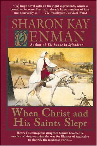
But finally, there is her Plantagenet series, which begins with When Christ and His Saints Slept, above, and ends with A King’s Ransom, the story of Richard I’s imprisonment and the end of his life. This series dovetails nicely into the Welsh Princes story, ending with the start John’s reign. It is also, essentially, my PhD thesis in fictional form, covering the ins and outs of the dramatic Plantagenets with aplomb. All of the people I spent years researching came to life in her pages and for that reason, this series of books are my favourite.
If I had to recommend an introduction to Sharon Kay Penman’s work, I think I would have to start where I did, with When Christ and His Saints Slept. If that does not draw you in, then nothing will!
Several years ago as part of our summer holidays, I convinced my other half to come with me to the International Medieval Congress in Leeds, a massive medieval interdisciplinary conference spanning five days, hundreds of sessions and thousands of papers given by academics from early postgraduates to lauded professors. I was giving a paper, we know a solid group of attendees through the St Andrews Department of Medieval History, and every evening ends up in the pub – it seemed like a win-win.
In exchange for his attendance at the IMC, I agreed to spend the second half of our week visiting Scarborough and Whitby, where he had spent summers when he was younger. I was really not sure what to expect of Scarborough, but I was delighted to discover that along with the quaint seaside streets, it also boasted a castle. Even better? A castle whose heyday was in the 12th century, the time of King Henry II.
Firstly, I must admit that I enjoyed the town of Scarborough itself a lot more than I thought I might. It reminded me in feel of the fishing towns of New England – though of course it looked nothing like them – and the streets and buildings were all steeped in the centuries of people who had lived and visited.
Now on to the castle. The location is strategically a no-brainer – atop a cliff overlooking the sea, with views in all directions and an obvious spot to protect the harbour below. Henry II was far from the first person to recognise the headland as a good place to build; there is evidence he was building in the same place as an Anglo-Scandinavian settlement, a Roman signal station, and even Iron Age hill fort.
From the beachfront, one can already get a good feel for the size; the curtain wall rises spectacularly out of the cliff. To get up to the castle, one can start in the car park by the pier and follow the path up the hill – about 15 minutes, and a good climb that offers lovely views back down to the town and harbour.
One caveat I suppose is that there is not a huge amount of the structure left – other than some walls and the remnants of the keep, it is up to the visitor to imagine what it might have looked like in its prime.
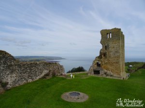
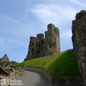
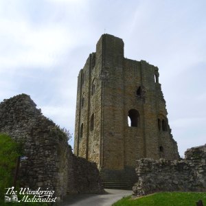
Most of the pictures are focussed on the keep for that reason – even with what you can see, you get a good feel for the style of building that Henry constructed at other castles – a solid, imposing keep, more than 100 feet high, the focal point for anywhere else in the castle grounds. What is left of the interior architecture shows clear windows, alcoves, staircases and fireplaces.
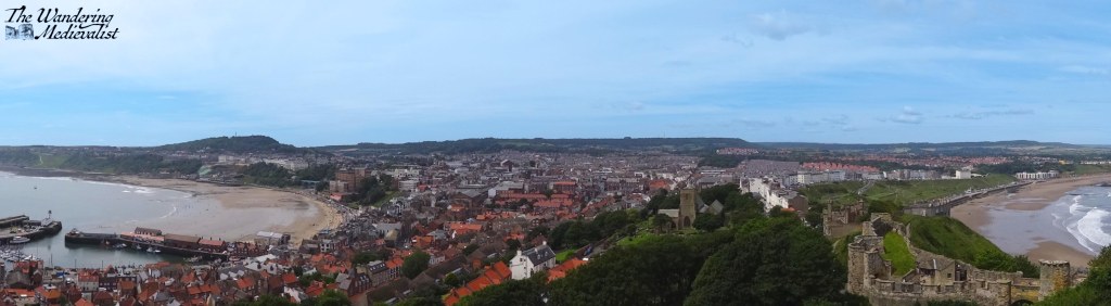
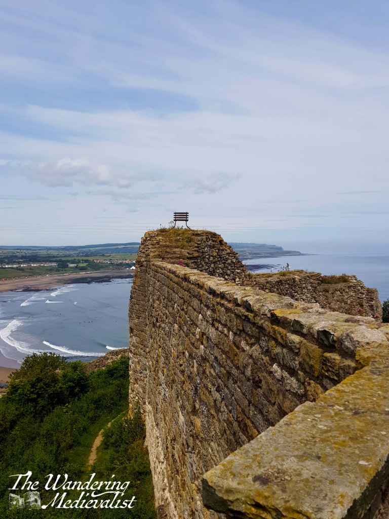
But probably the most impressive part of Scarborough Castle is the view.
I could have spent most of the day taking pictures from this spot, looking down at the town and beaches on both sides, but it was an intensely hot summer and the pub was calling us! Both for the pure enjoyment of this trip and for the link to Henry II, this remains one of my favourite spots in the north of England, and well worth a visit for any proper medieval castle enthusiast!
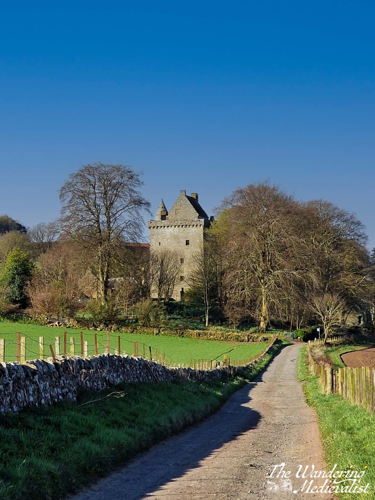
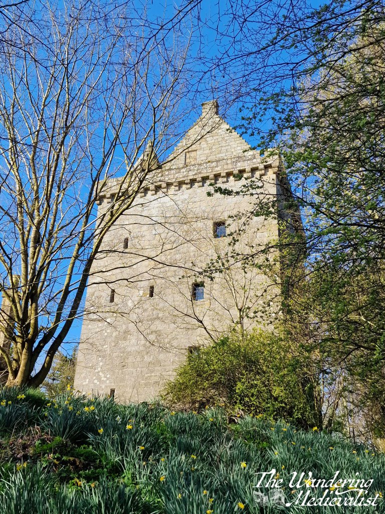
Yesterday was a positively gorgeous sunny day – in the morning anyway – and so I got myself going early to finally explore this tower, which we drove by on our daily commute for years. I had been led to believe that you could not go inside, but was excited to discover that fact had changed. Scotstarvit Tower was likely built in the late 1480s or 90s, by the Inglis family, and was renovated in the early 17th century to the form seen today. A true tower, it has one large room on each floor, connected by a spiral staircase, though there are small ‘closet’-type rooms built into the wall in places.
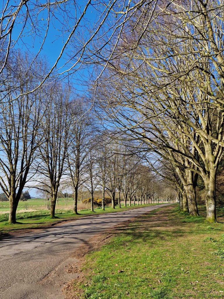
Scotstarvit Tower sits about half a mile off the road linking Craigrothie to Cupar. You cannot drive to it, but instead can find easy parking at the nearby National Trust property, the Hill of Tarvit mansion house. Parking is £3, and from the parking lot, I walked back towards the main road along a lovely tree tunnel.
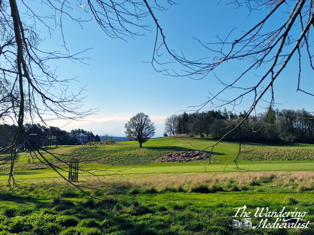
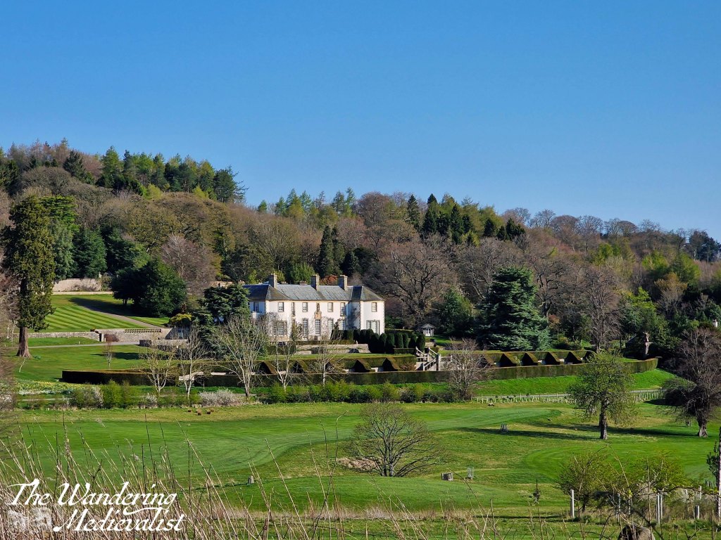
Along the left of the path there are views through the trees up to the Hill of Tarvit monument, and to the right is the lovely green rolling expanse of the historic Kingarrock Hickory Golf course.
Eventually I reached the main entrance to the property, and the A916. Cars come incredibly fast along this road in both directions, but I was able to scamper across and to the safety of the farm track which is only accessible via vehicle to residents. Along the track, there are lovely views out to the right towards the Lomond Hills, and eventually back towards Cupar.
farm trackview towards the Lomonds
After a short walk, there is a path up to the left, lined with daffodils, and a small sign indicates that is the way to go. I found myself a bit hesitant at first as the path to the tower takes you quite close to a private home, but it was well worth the exploration.
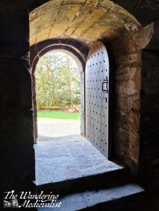
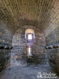
I was delighted to find, as I approached, that the front door to the tower was open, and the interior was quiet but light and well-maintained. I climbed to the staircase, which comes to an end in the little funnel-shaped room on top of tower. Perhaps understandably, the public is not currently able to wander the rooftop. It is also likely that there were outbuildings at some point, and there is evidence of an extension at ground level.
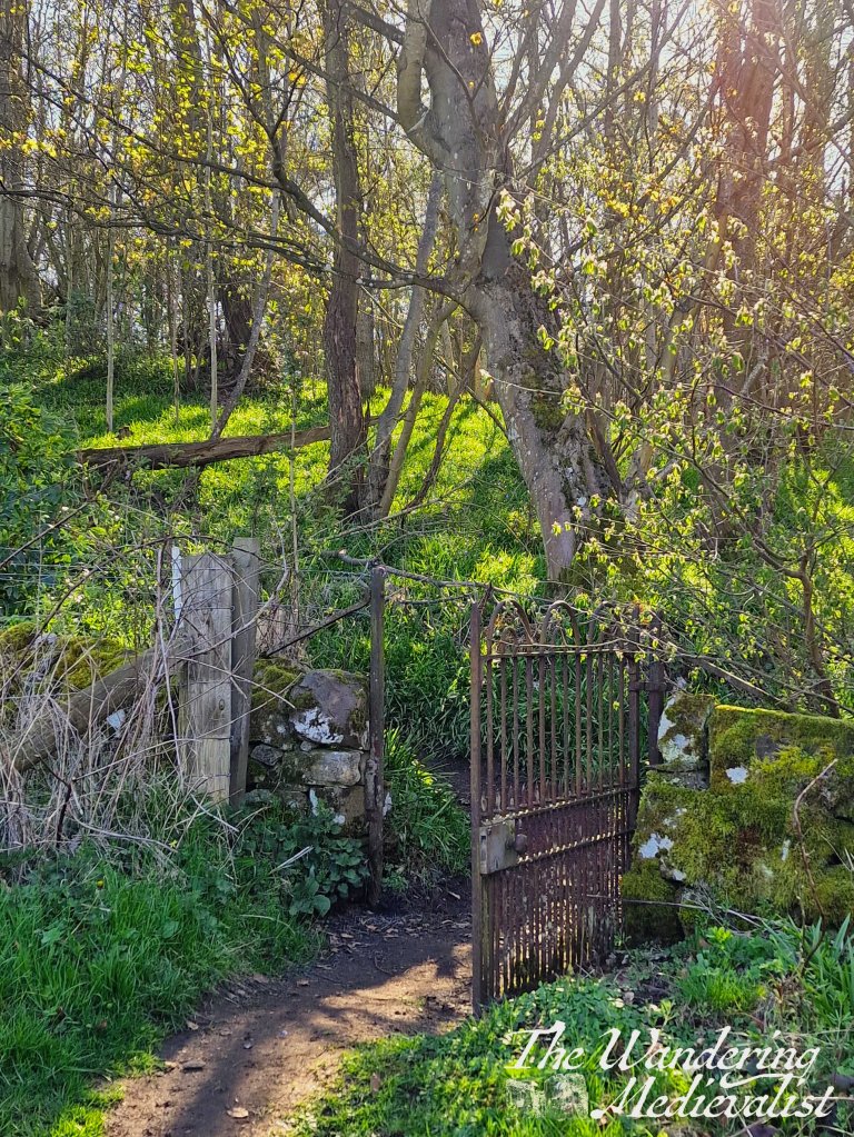
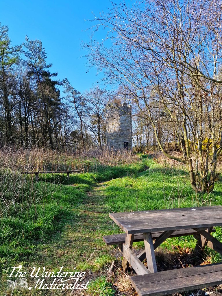
Once I had my fill of the tower, I made my way back towards the car, but I found myself distracted by another path off to the right, running along the edge of the golf course. It seemed to lead in the Craigrothie direction, and I decided I needed a few more steps so made my way through a gate and towards a nearby hill. There is a lovely old iron gate leading to a smaller path that eventually climbs up to an impressive doocot, designed to look like a medieval tower. A picnic table and slightly deteriorated wooden bench are situated perfectly to allow one to enjoy the view back towards the Hill of Tarvit mansion house. While the extra short walk is by no means required as part of the visit to the tower, it was definitely worth the effort.
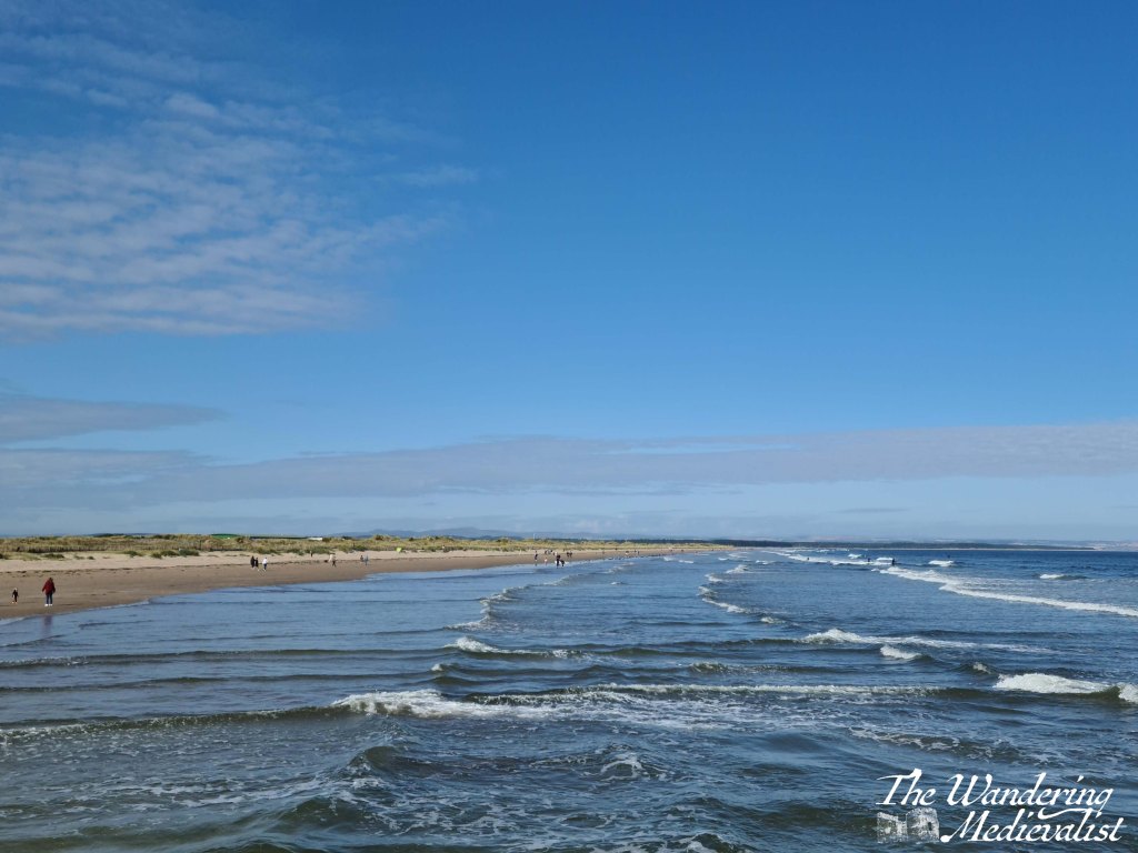
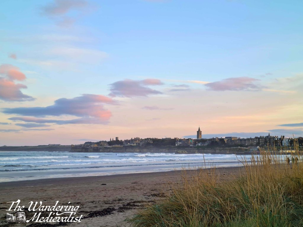
West Sands in St Andrews is a destination beach for many reasons, and it never disappoints. A close friend of mine walks the beach almost every day, and he agrees that it never looks exactly the same. The beach is well-known as the location for the opening scene in Chariots of Fire (check it out here, starting about 2 mins in to really see the beach), and for running alongside the world-famous Old and New Courses.
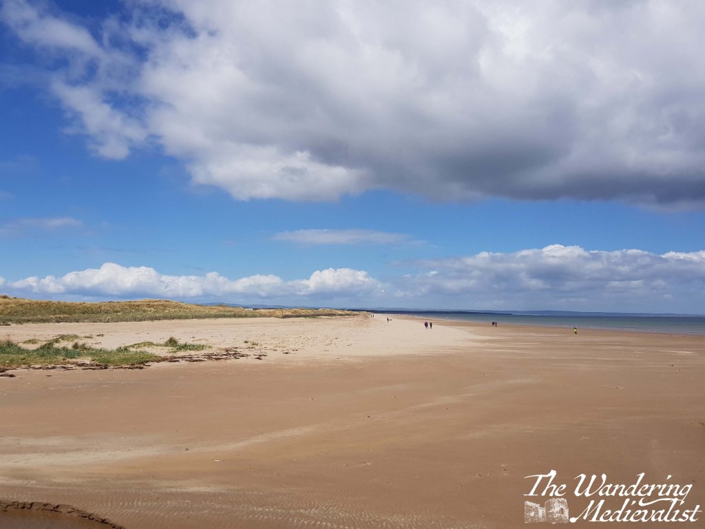
It is also a stunningly preserved (with much work done by the Joint Nature Conservation Committee and Fife Coast and Countryside Trust) example of coastal dunes, which are immensely important defences against erosion and are a protected area. For locals, the beach is a popular walk location for families with children, dogs, horses and everyone else – particularly University students looking to de-stress with a pick-up game, jog, or mind-clearing walk. It is about two miles in one direction, and can seem quite quick when you are walking with the wind – just be aware that walking into the wind is a much harder option. And yes, it is almost always windy.
For most, the walk will start only steps away from the Royal Golf Museum and the Bruce Embankment Car Park (not free). There is a recently refurbished toilet block available, and a bit further on a dog-friendly café, Dook, open 9-5 currently (‘dook’ being a Scottish word for a quick dip or bathe).
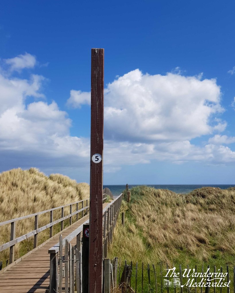
There are two options available for walkers: you can start off following the road behind the dunes, and choose one of the many paths that branch off to the right leading to the beach. It is possible to follow the road the whole way out to the end, where there is a small car park, but walkers beware that the pedestrian path ends probably less than a mile along. Alternatively, you can just stick to the beach. At low tide you can walk quite a way out, but at high tide you are quite constricted to a small section of beach – there is about a 5m difference between high and low tide, or 16 ft.
Whichever option you choose, prepare for wind! And bring your camera – West Sands really is one of the more stunning beaches I have ever seen, and it is almost impossible not to take another picture, even if one already has 100s.
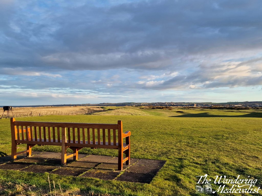
It would be remiss of me not to also point out the potential dangers in getting carried away with your walk. The end of the beach eventually curves around the corner, as the North Sea meets the Eden Estuary, and here the tides can move incredibly fast. It is very easy to get caught out, and so it is recommended that walkers be very cautious around this point. You can in fact cut back up to the car park here and walk along a small access road which takes you another 15 minutes or so out to a viewing platform. This platform offers birdwatching guidance as well as stunning views back across the golf courses towards town, or in the other direction across the water to Leuchars base and Tentsmuir Forest. This end of the beach is quite popular for bird-watchers as well as walkers.
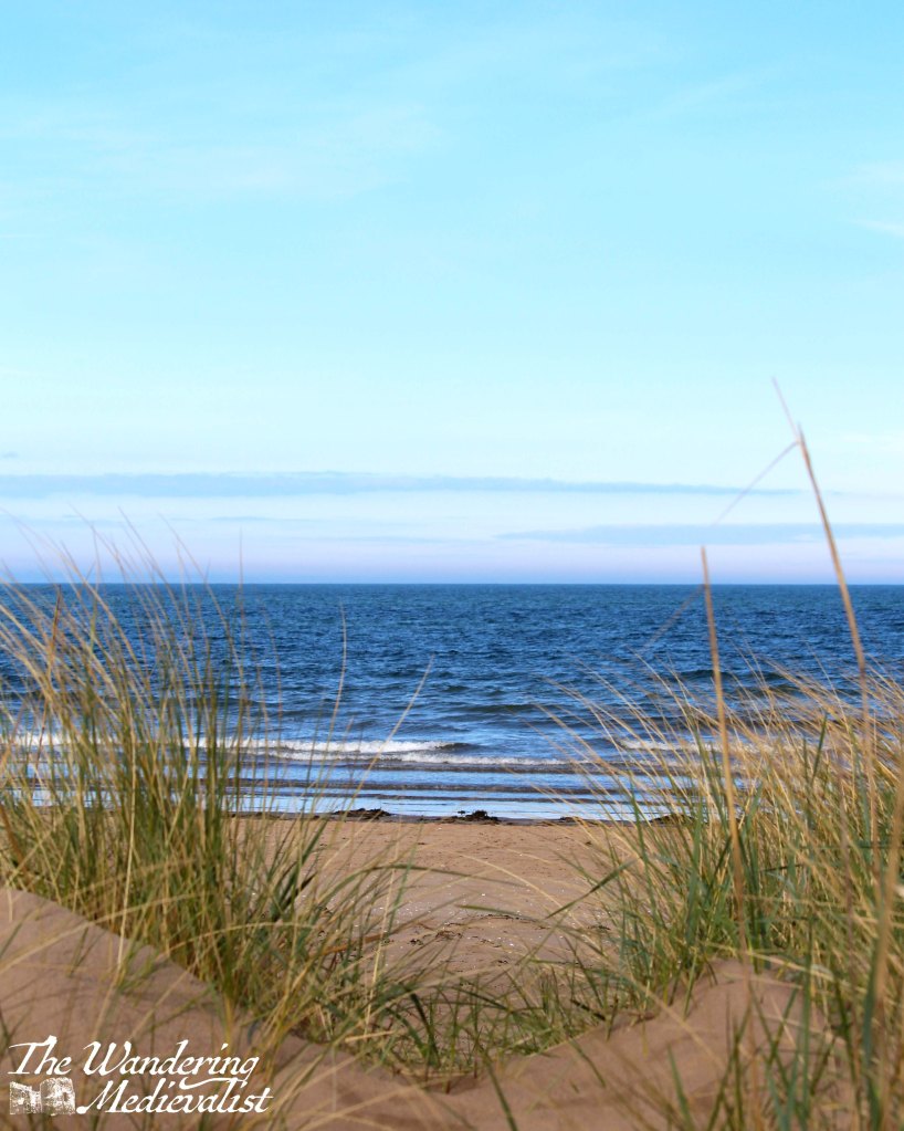
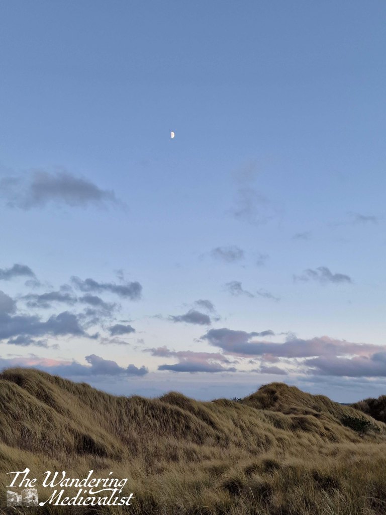
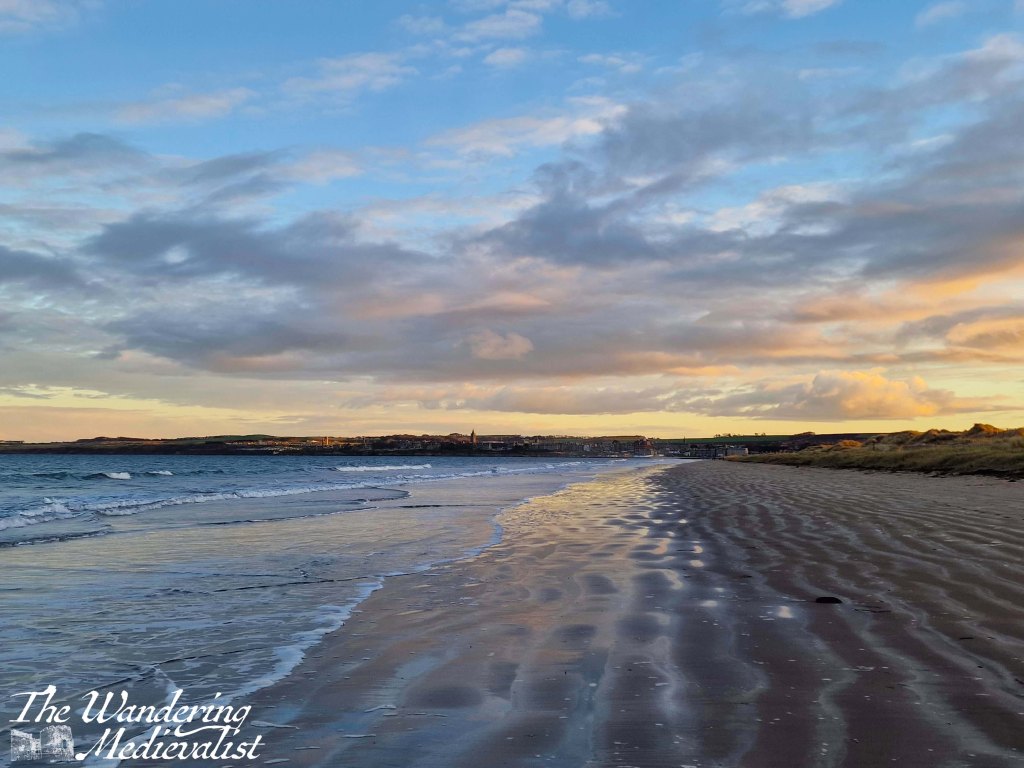
While the beach is no doubt stunning in the middle of a sunny day, the evening hours are what I love the most, as you can see below!