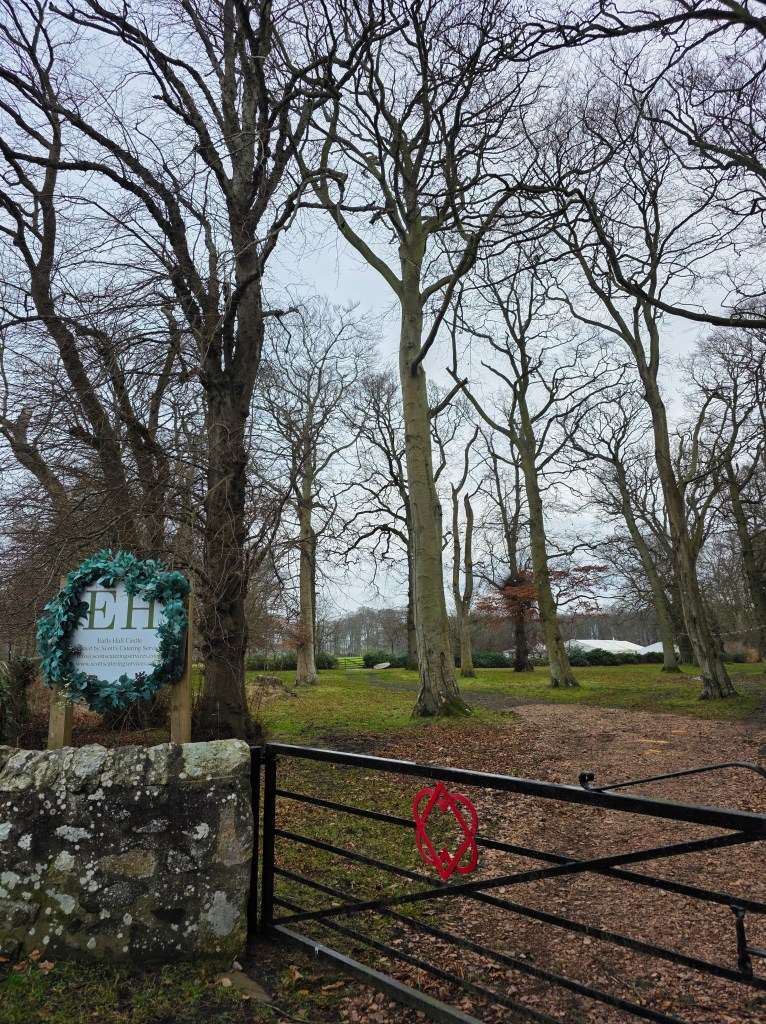
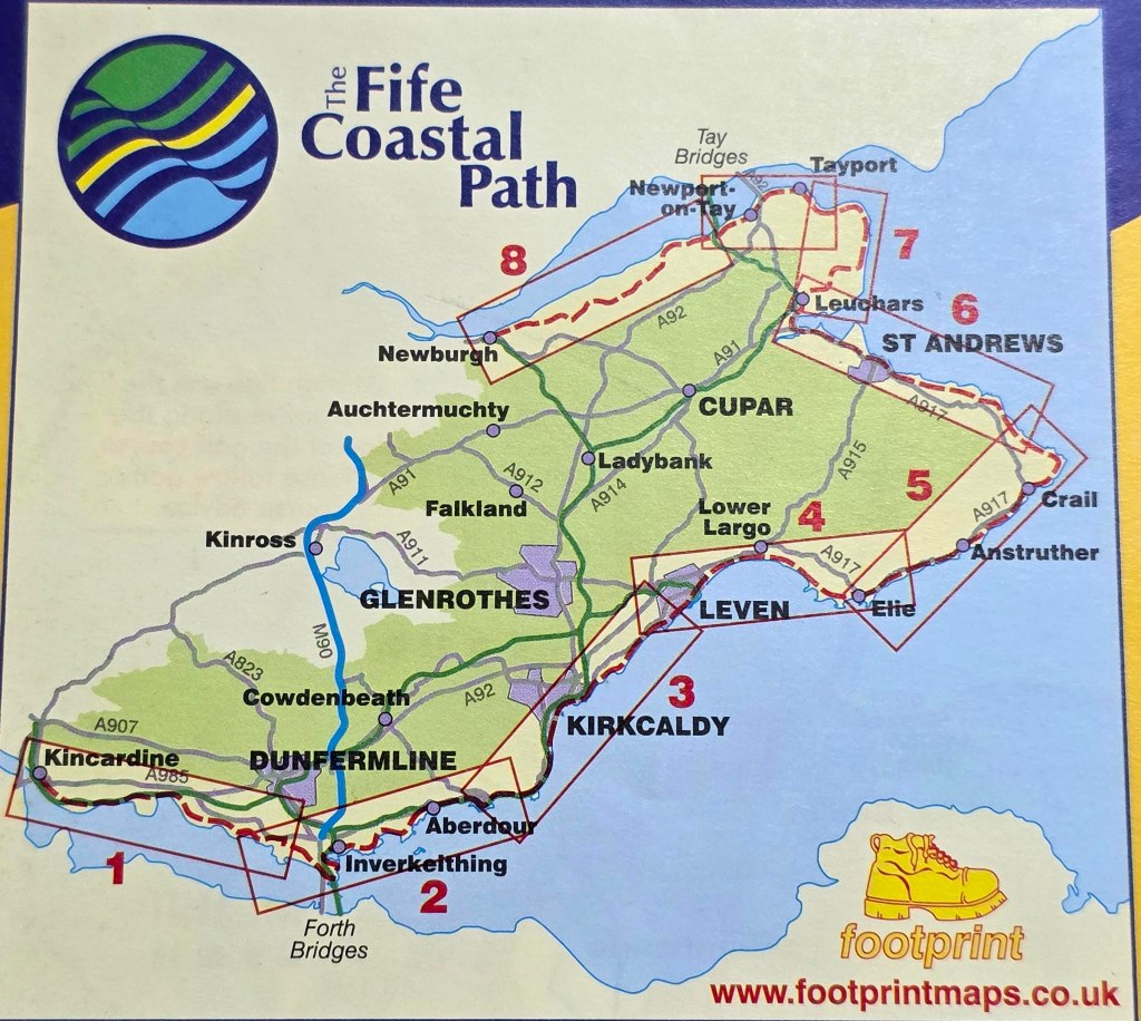
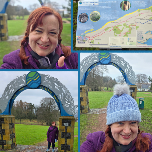
I woke up on Saturday morning and was welcomed the bright sunlight I could see peeking in around the edges of the curtains. I leapt out of bed and immediately set to work enacting my planned walk for the weekend: picking up from last weekend, I intended to walk from Earls Hall Castle to Kinshaldy Beach, a walk – I estimated – of a bit over 4 miles. It was more than I had done in one go in a while (hence fitness goals) but I thought I could manage.
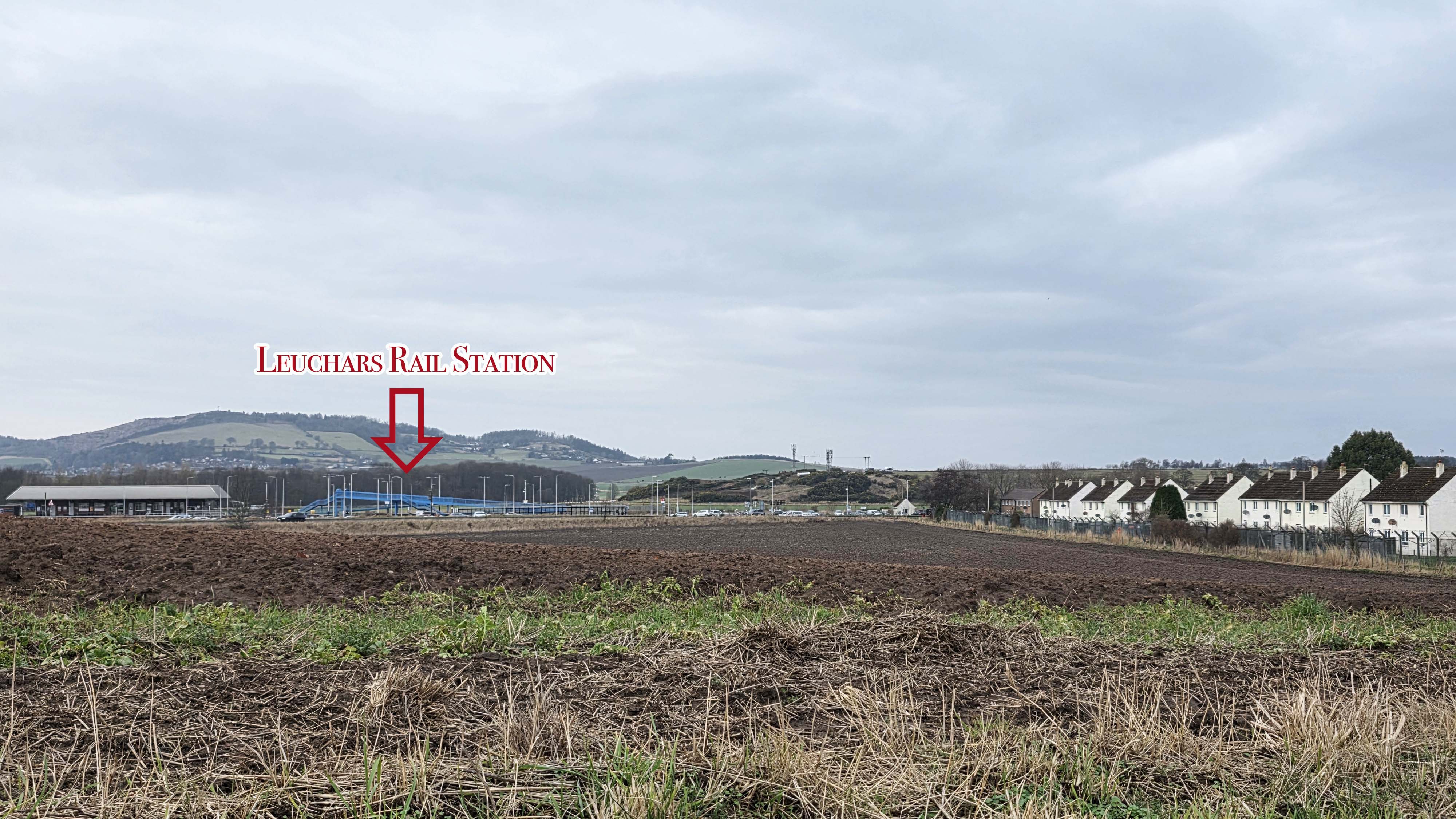
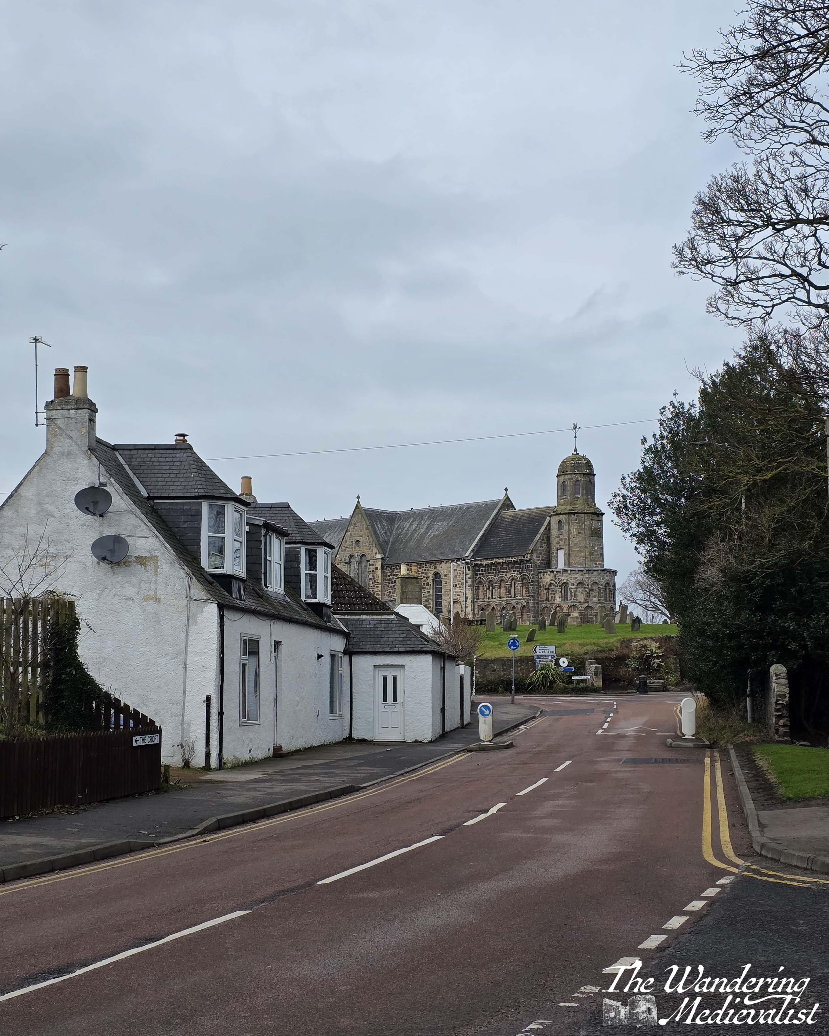
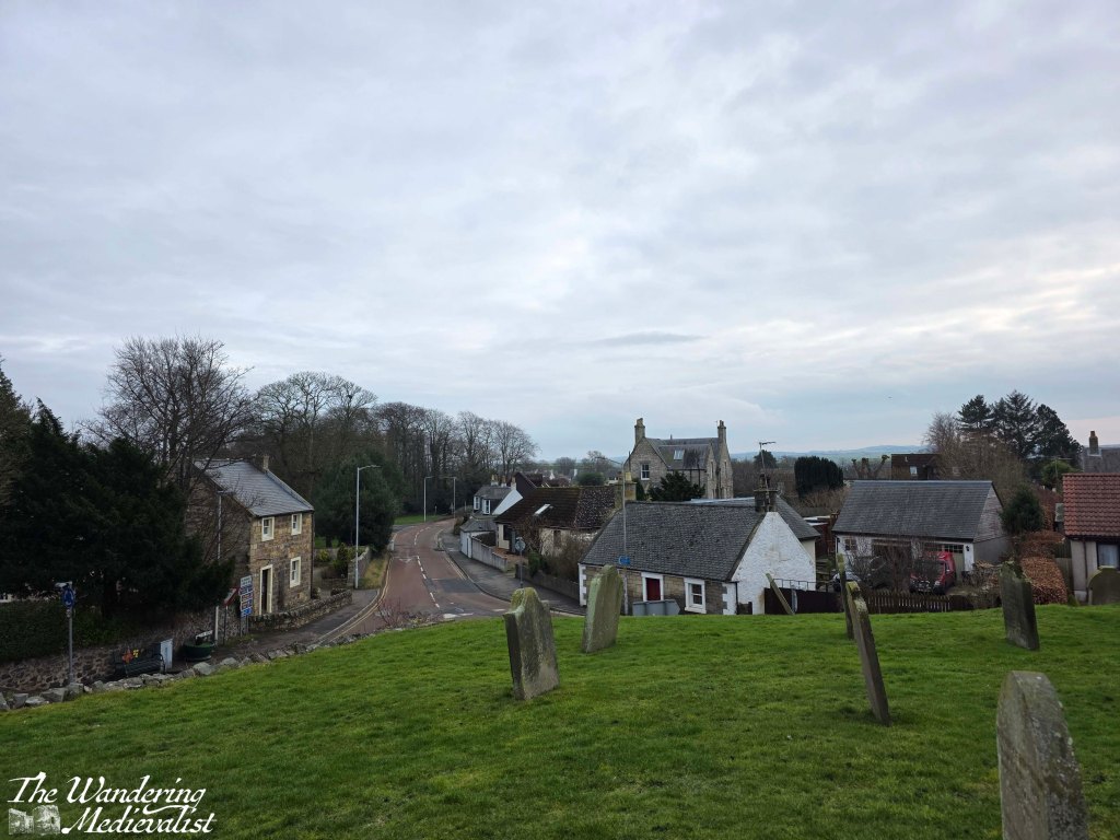
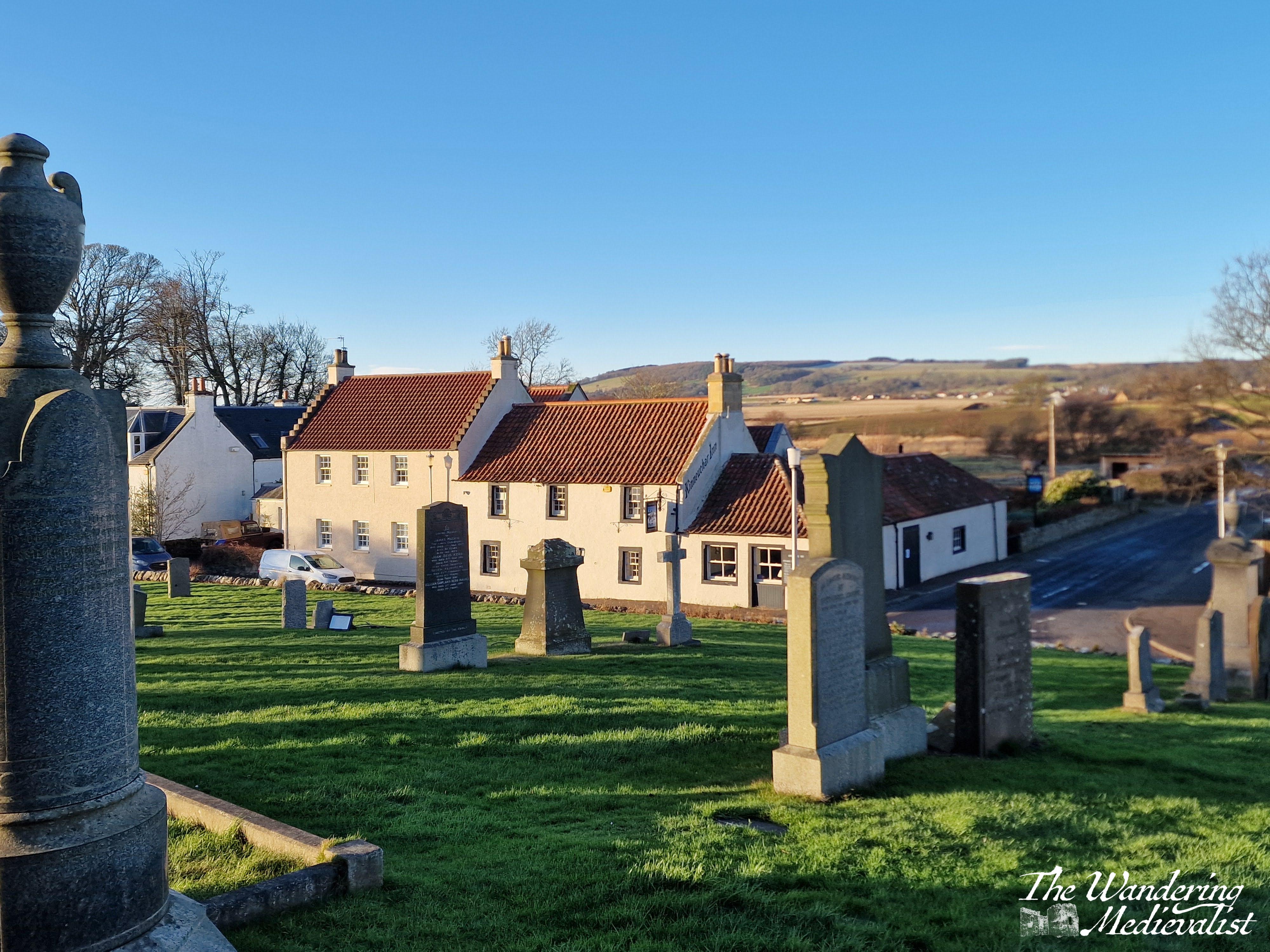
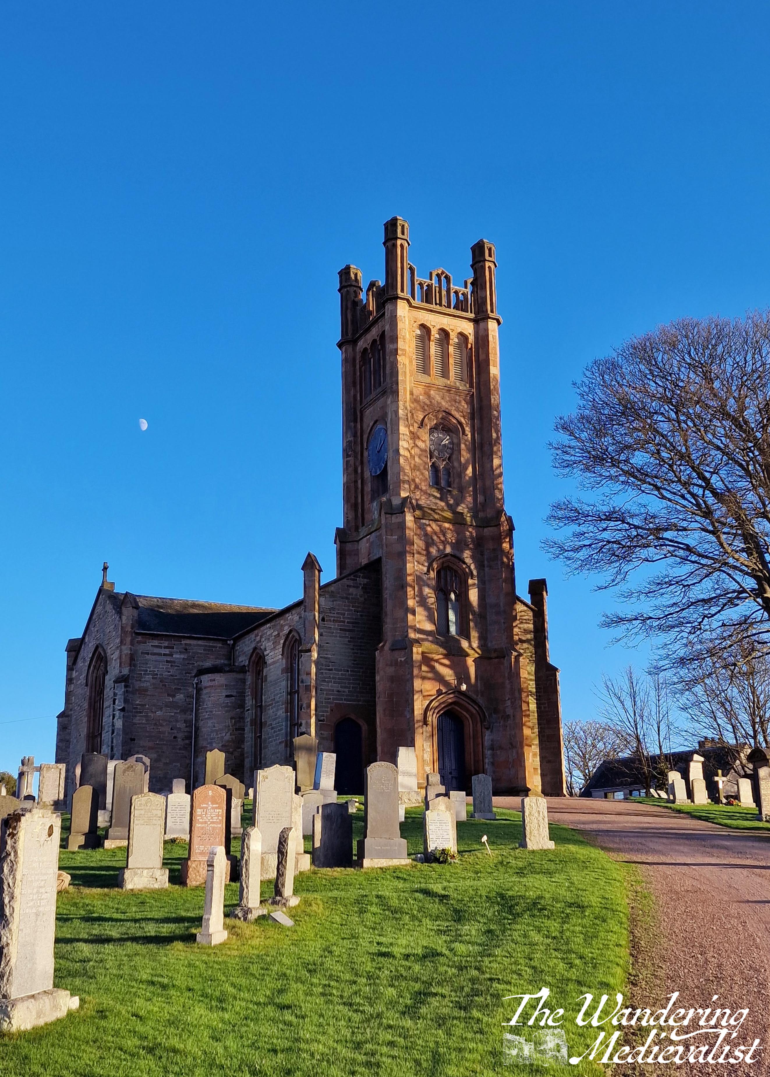
So, I started off at St Athernase in the centre of Leuchars and walked the five or so minutes along the road to the castle grounds.
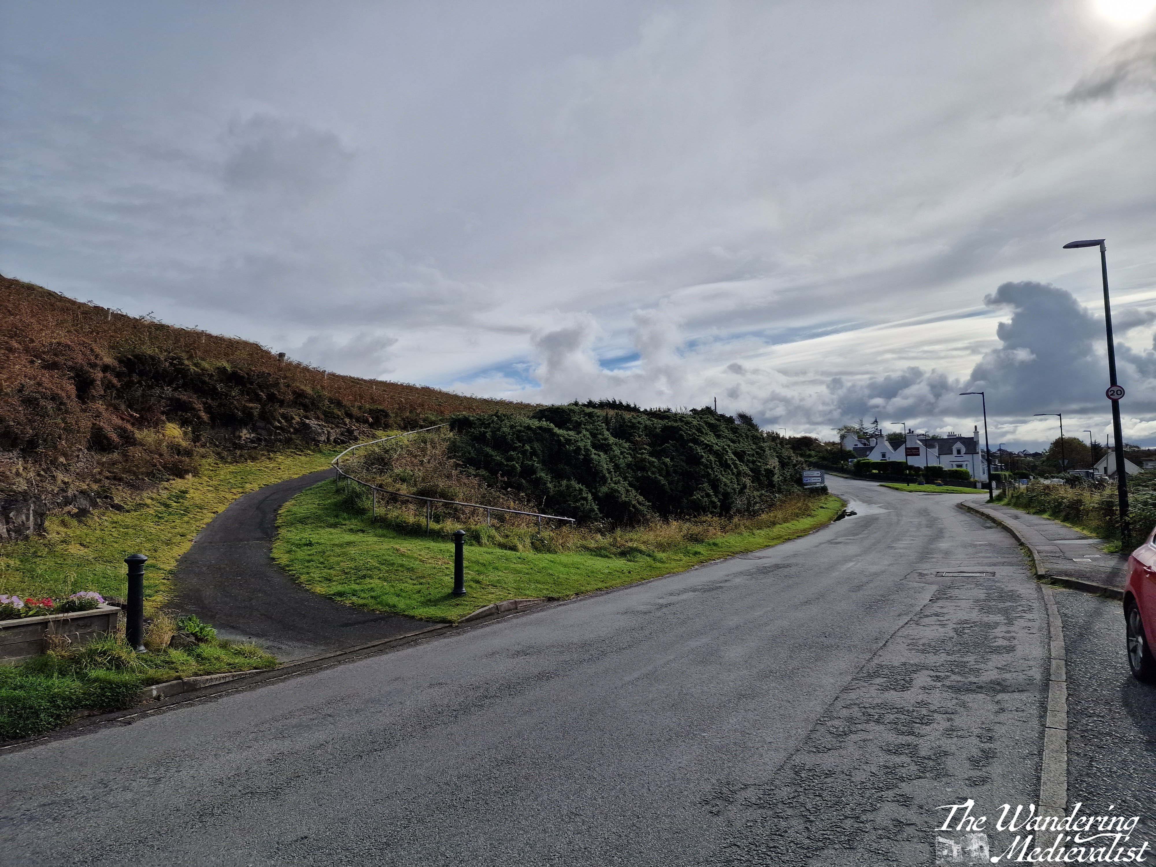
The day was sunny but with generous puffy clouds, and cool enough that the warmth from the sun was appreciated, as was the Vitamin D. It is worth reminding anyone that when walking along the type of narrow road this stretch requires, it is important to be on the correct side – walking against the traffic – so that you can see it approaching. I’d also caution that it’s a good time to keep your music either off or quiet enough that you can hear vehicles at a distance, as when the road is winding, they can come upon you suddenly.
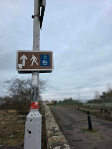
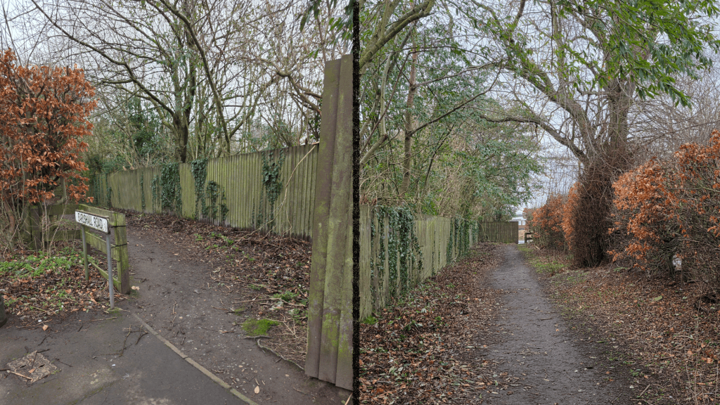
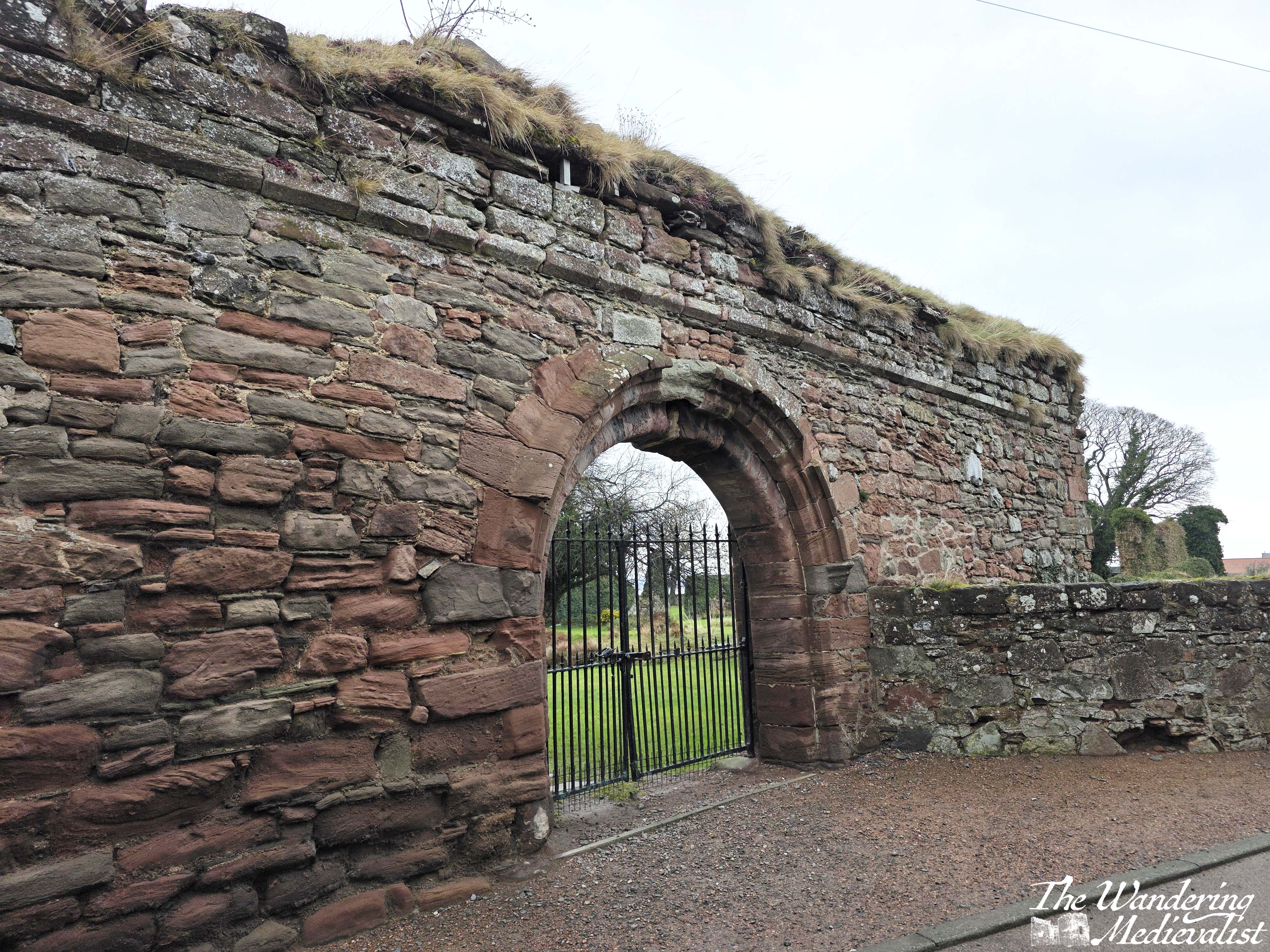
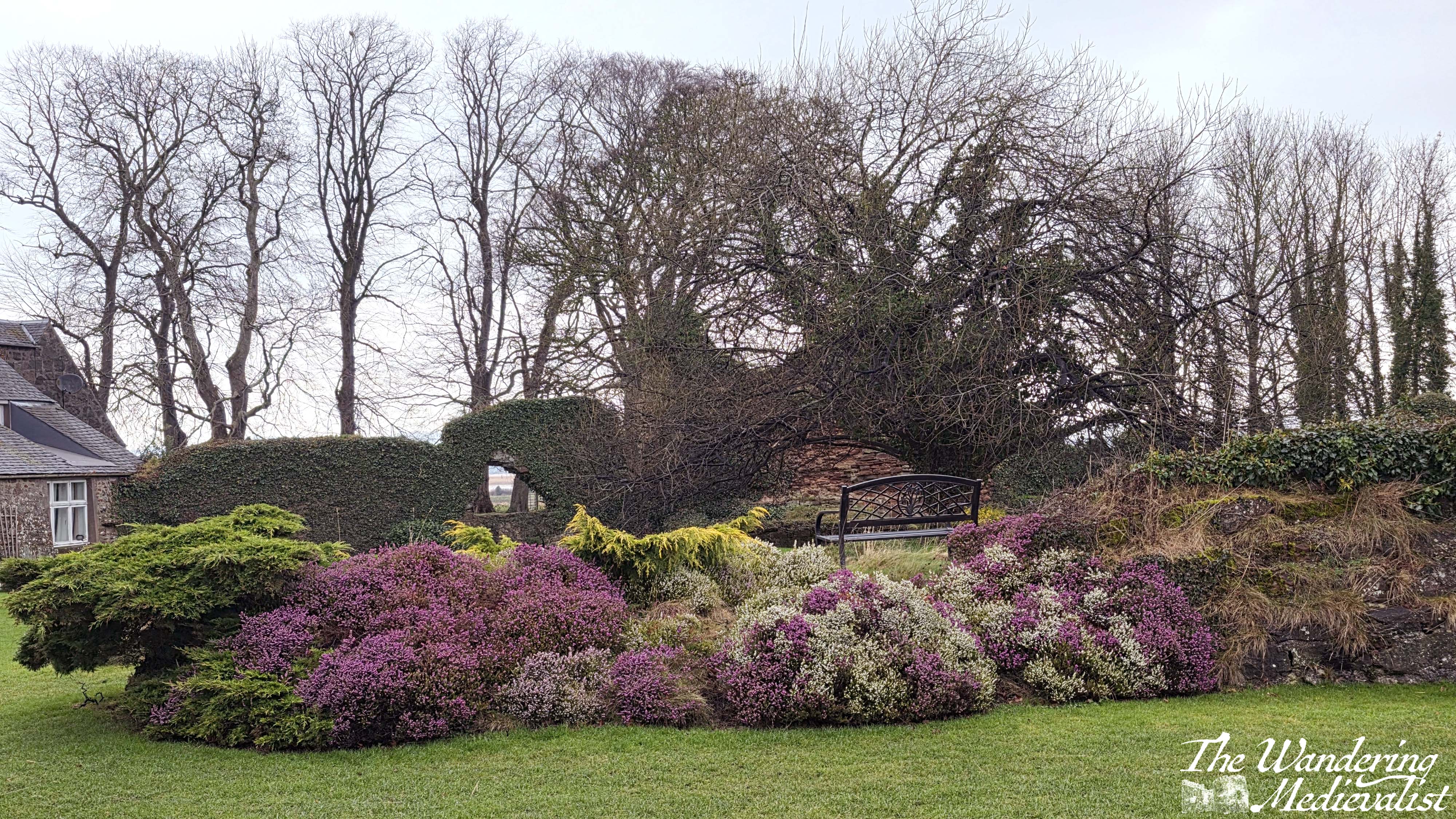
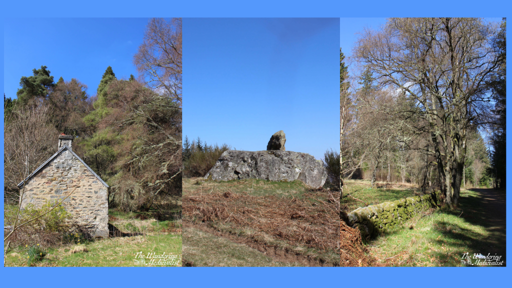
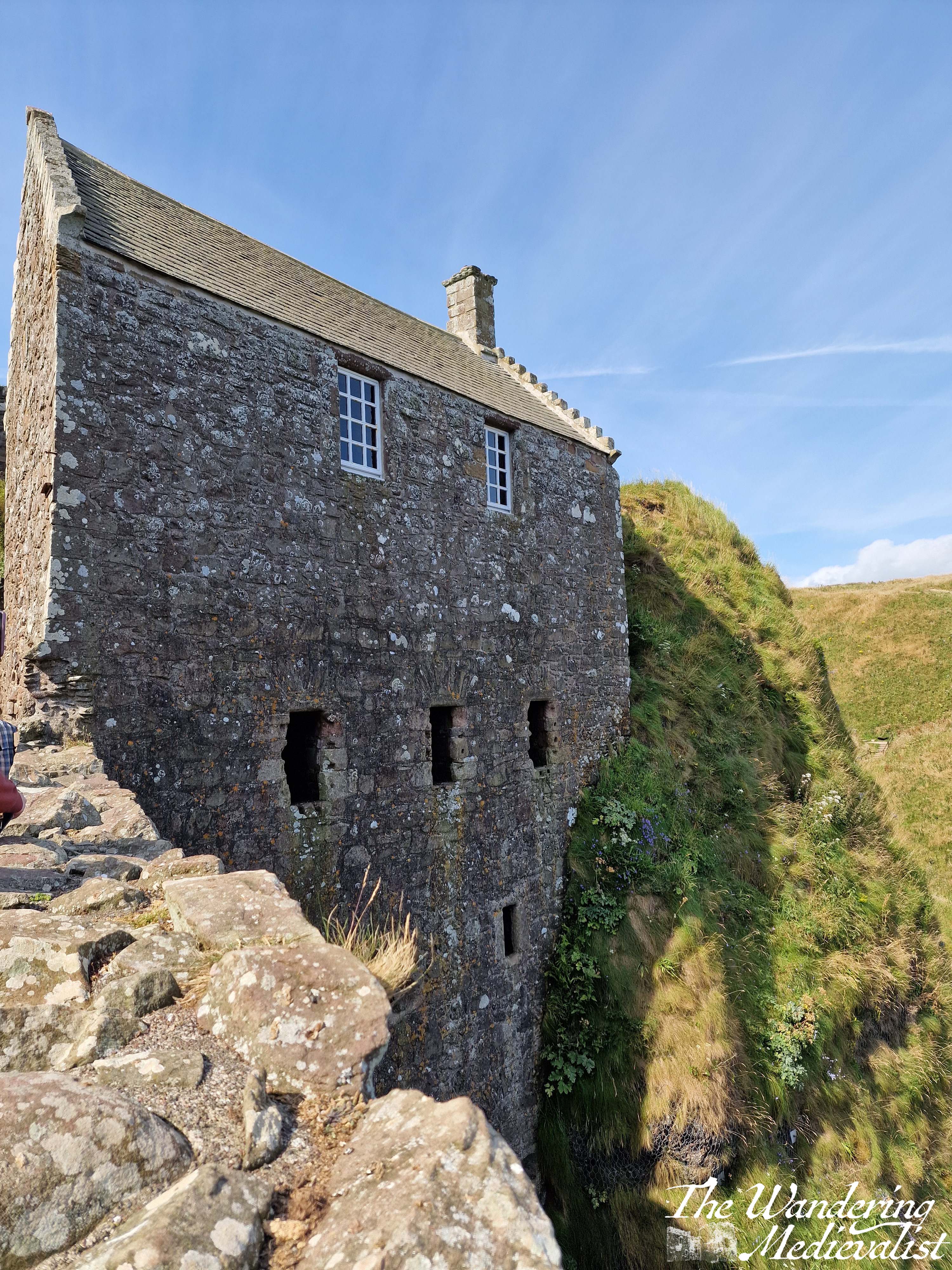
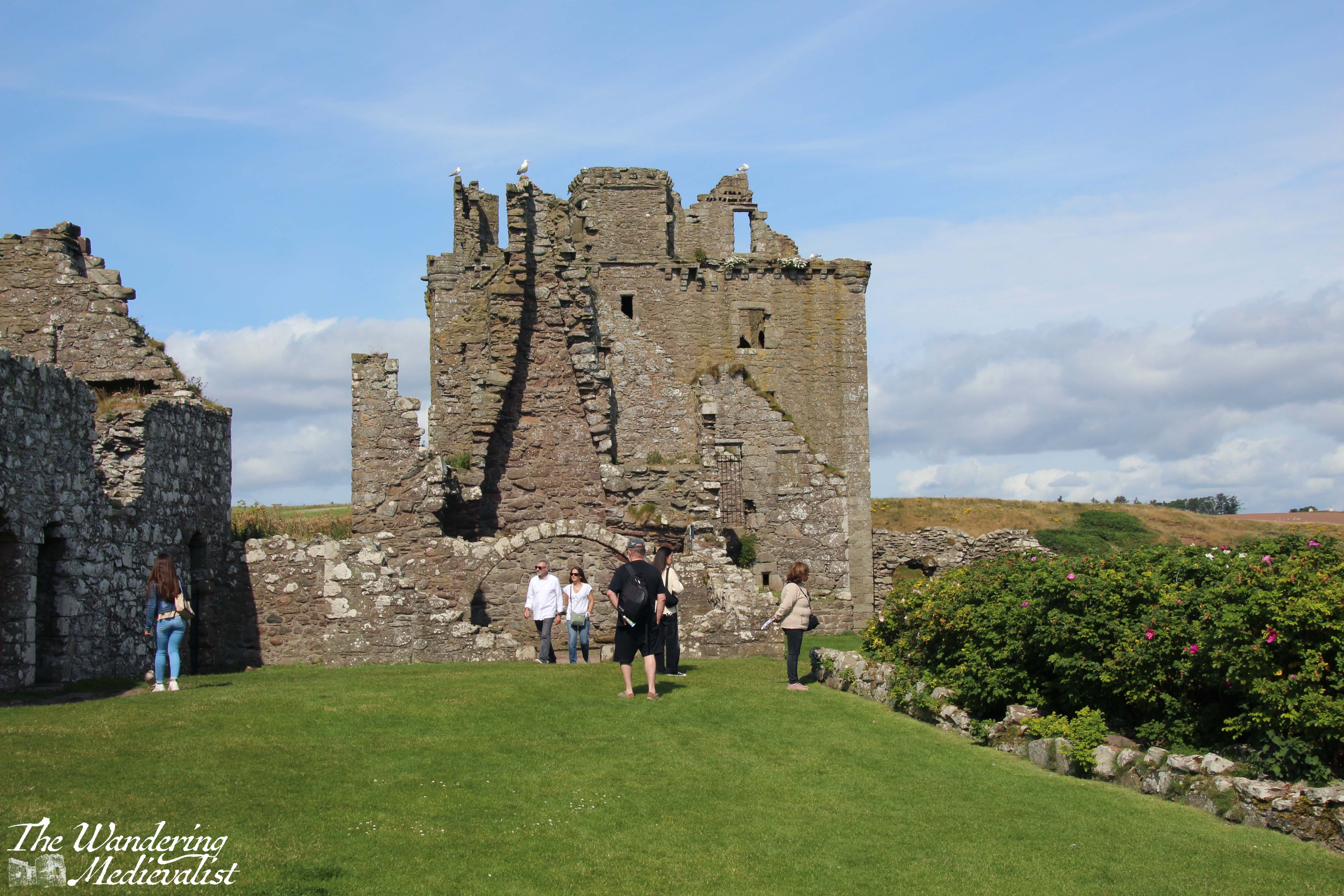
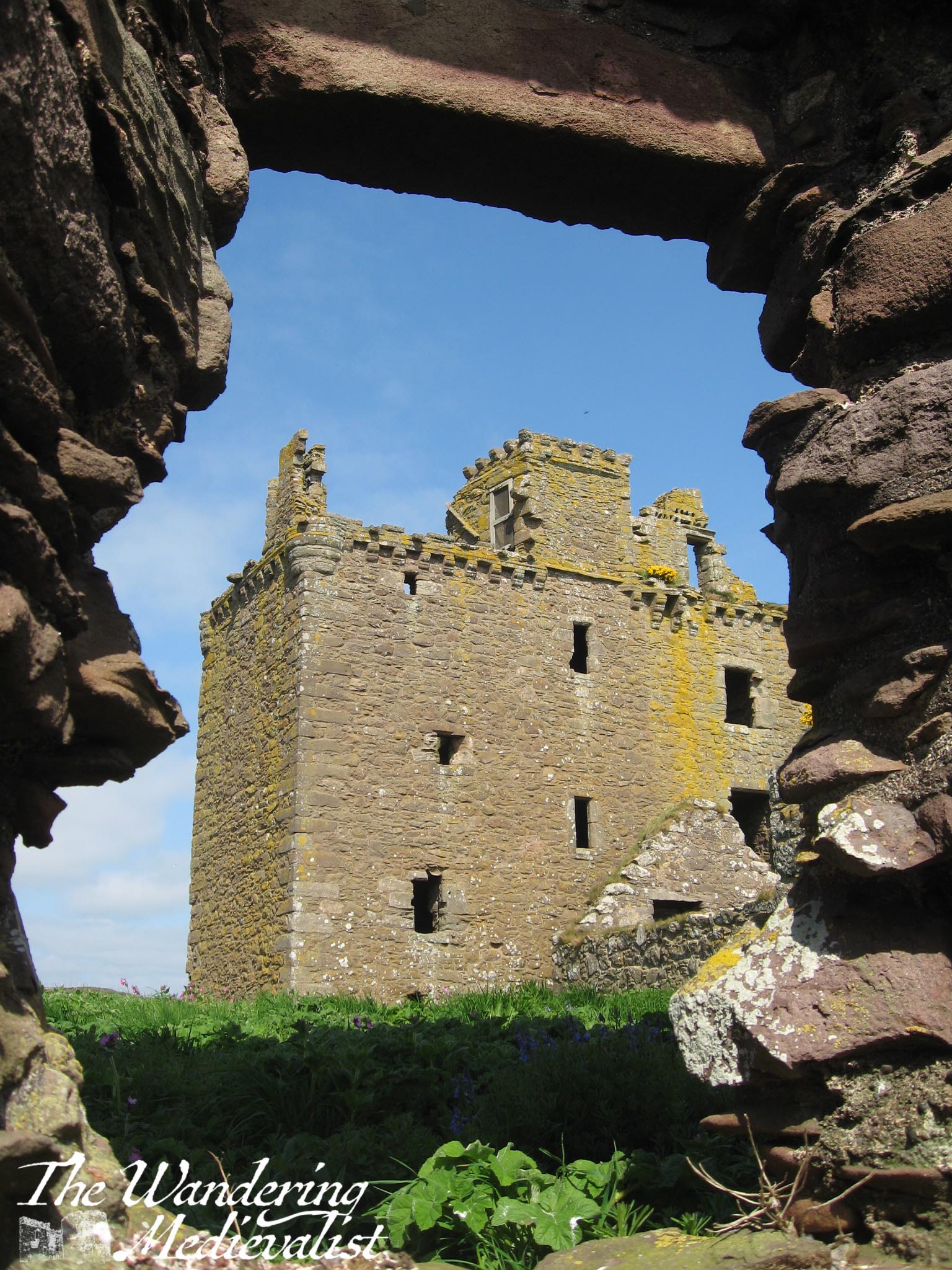
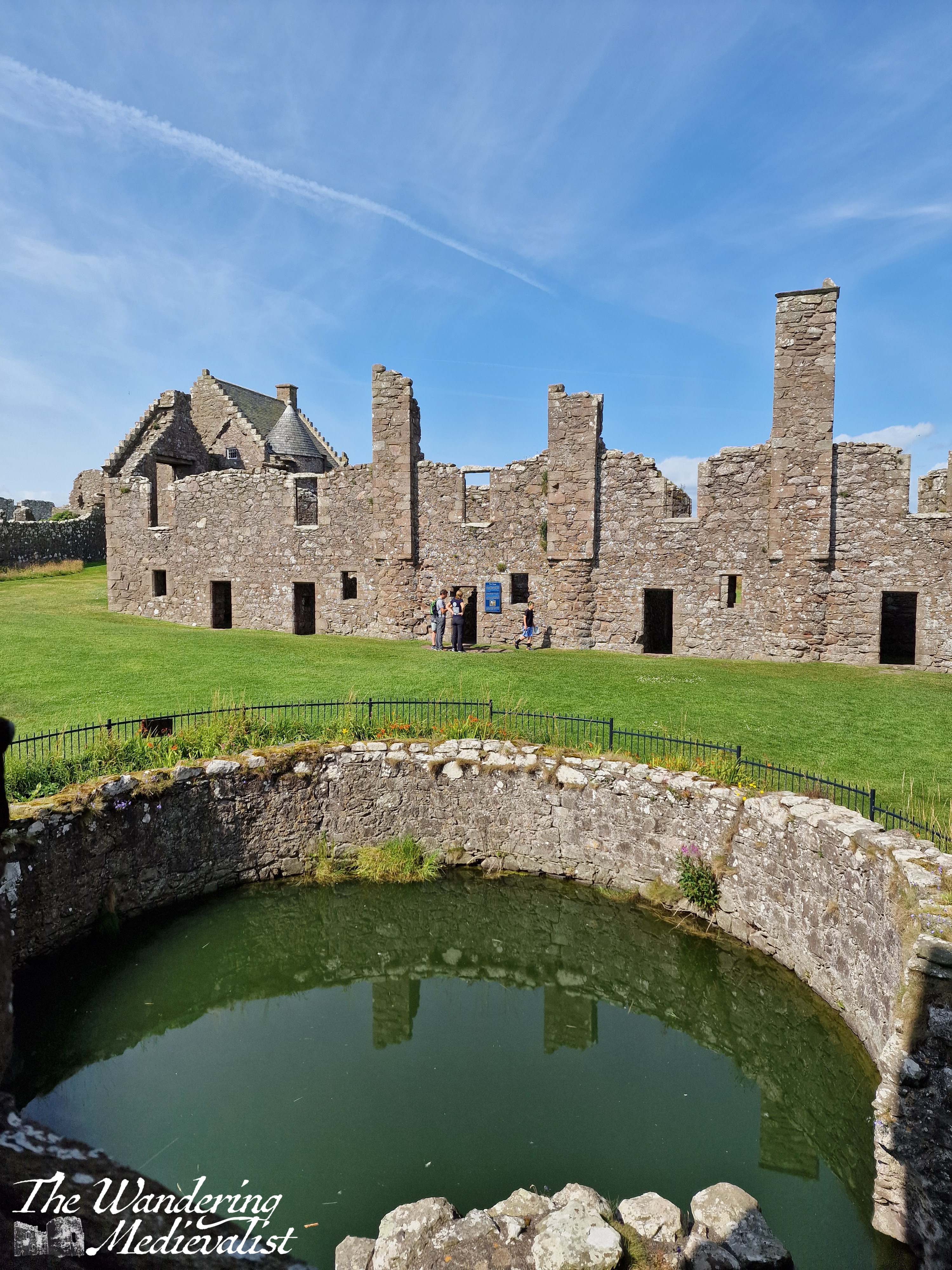
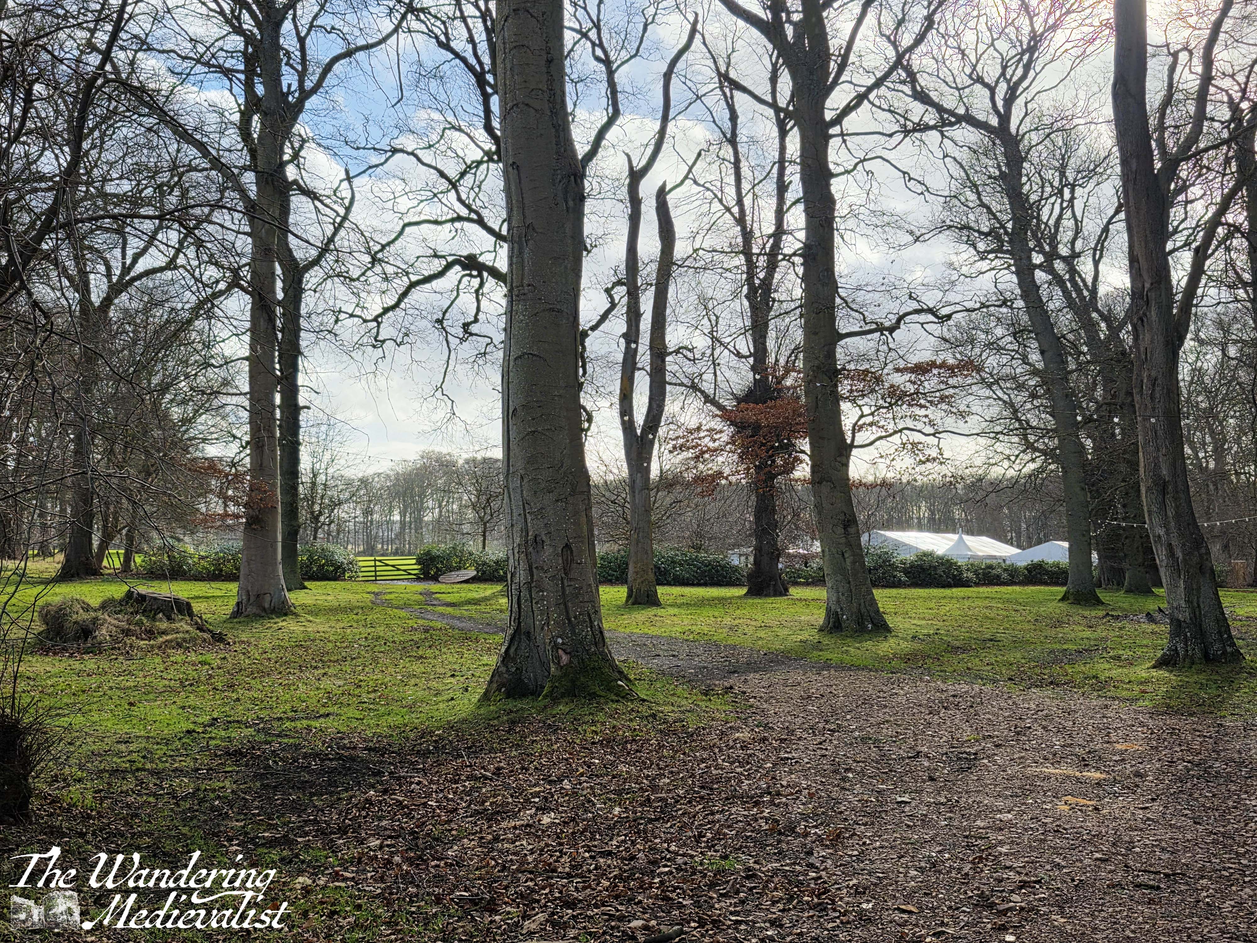
Starting at the entrance to the castle estate, the Fife Coastal Path leads along the road almost due east, and the wall is just short enough that even I was able to to catch glimpses of the castle and out-buildings. As with so many Scottish estates, the wall is lined with large rhododendrons bushes that at correct time of year are, I imagine, stunning.
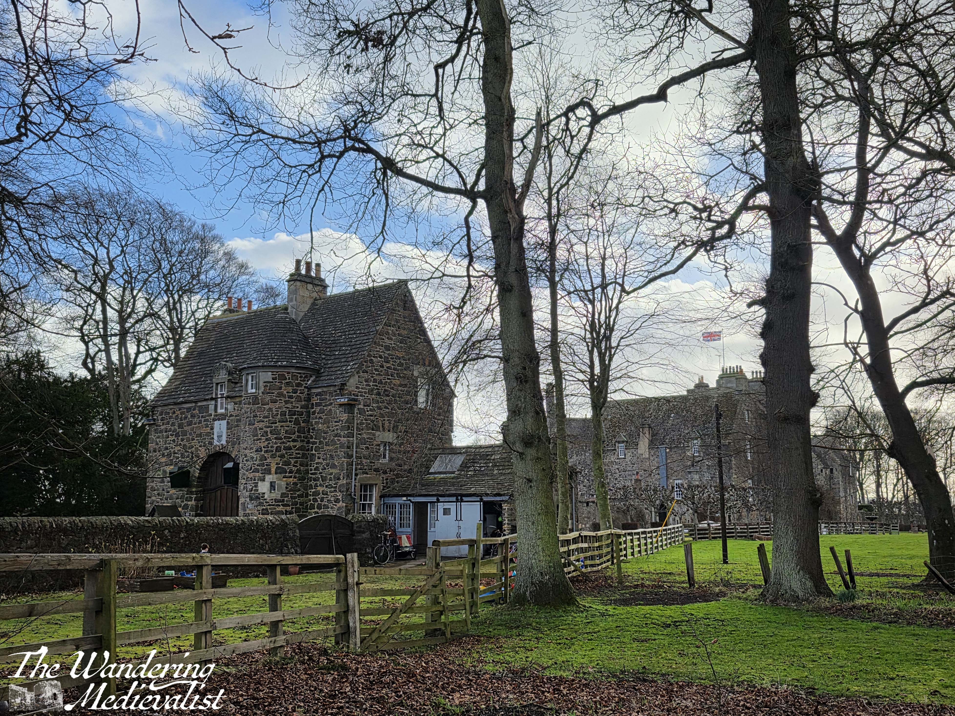
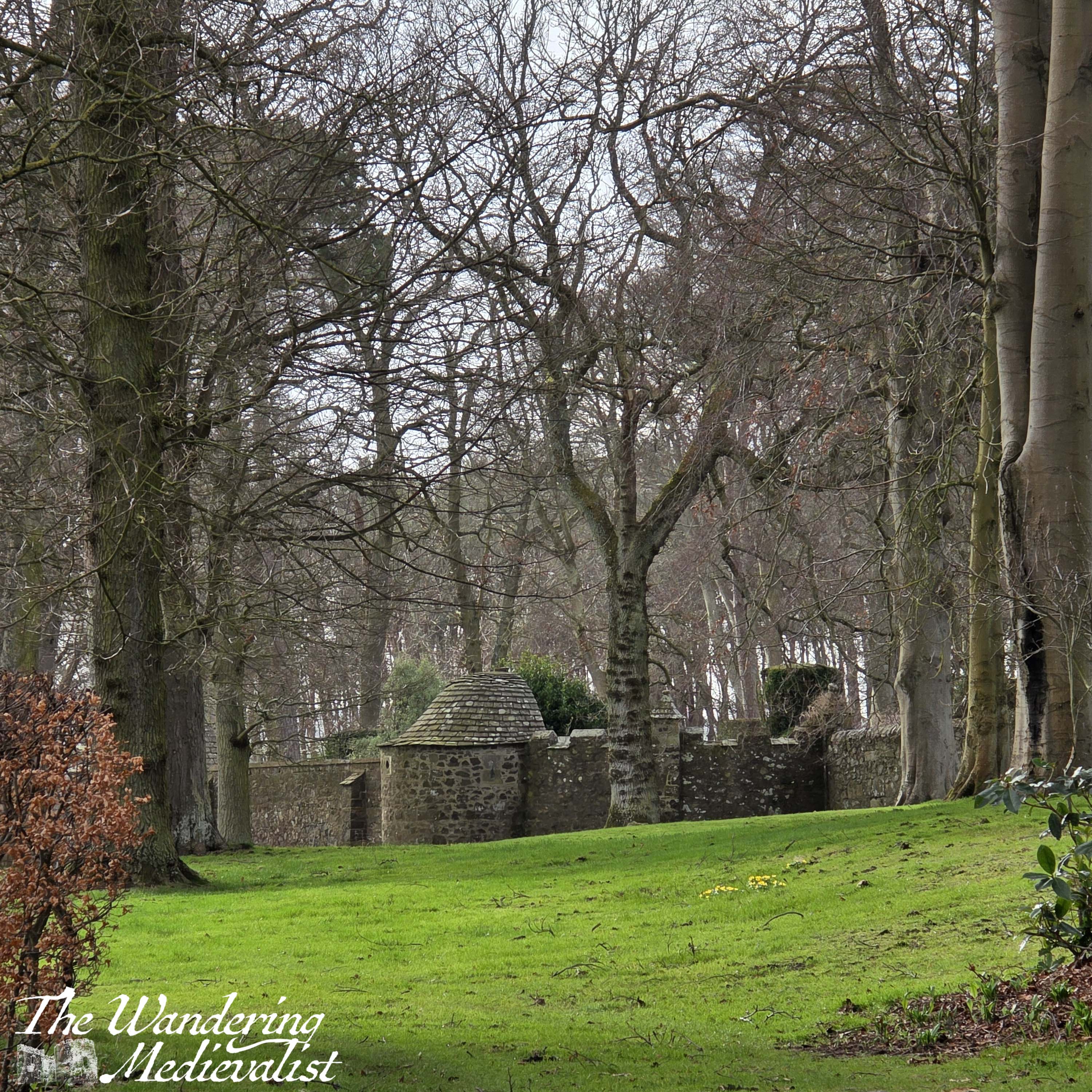
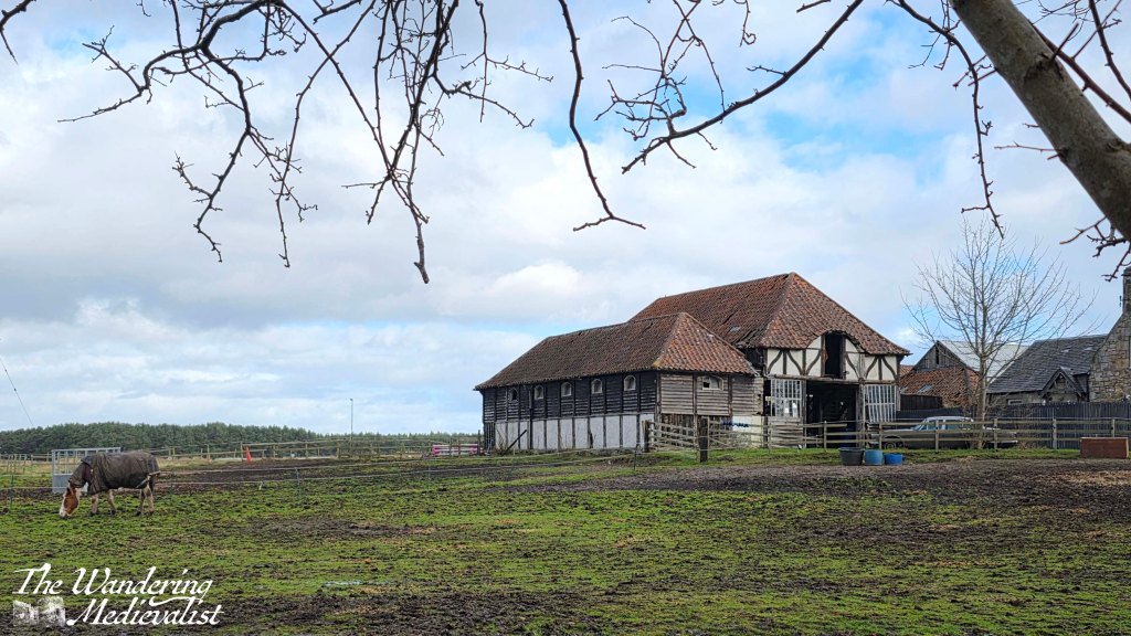
Not far beyond the main entrance – blocked by a massive gate house – is another exit to the estate, where you can just see hints of the wall and gardens. A short distance later, through the bushes on the other side of the road, comes into a view a beautiful old barn with several horses in the field/ The accompanying farm house is a bit less grand, but the presence of several rows of now decaying farm crofts indicate that this may have been a thriving community at one time.
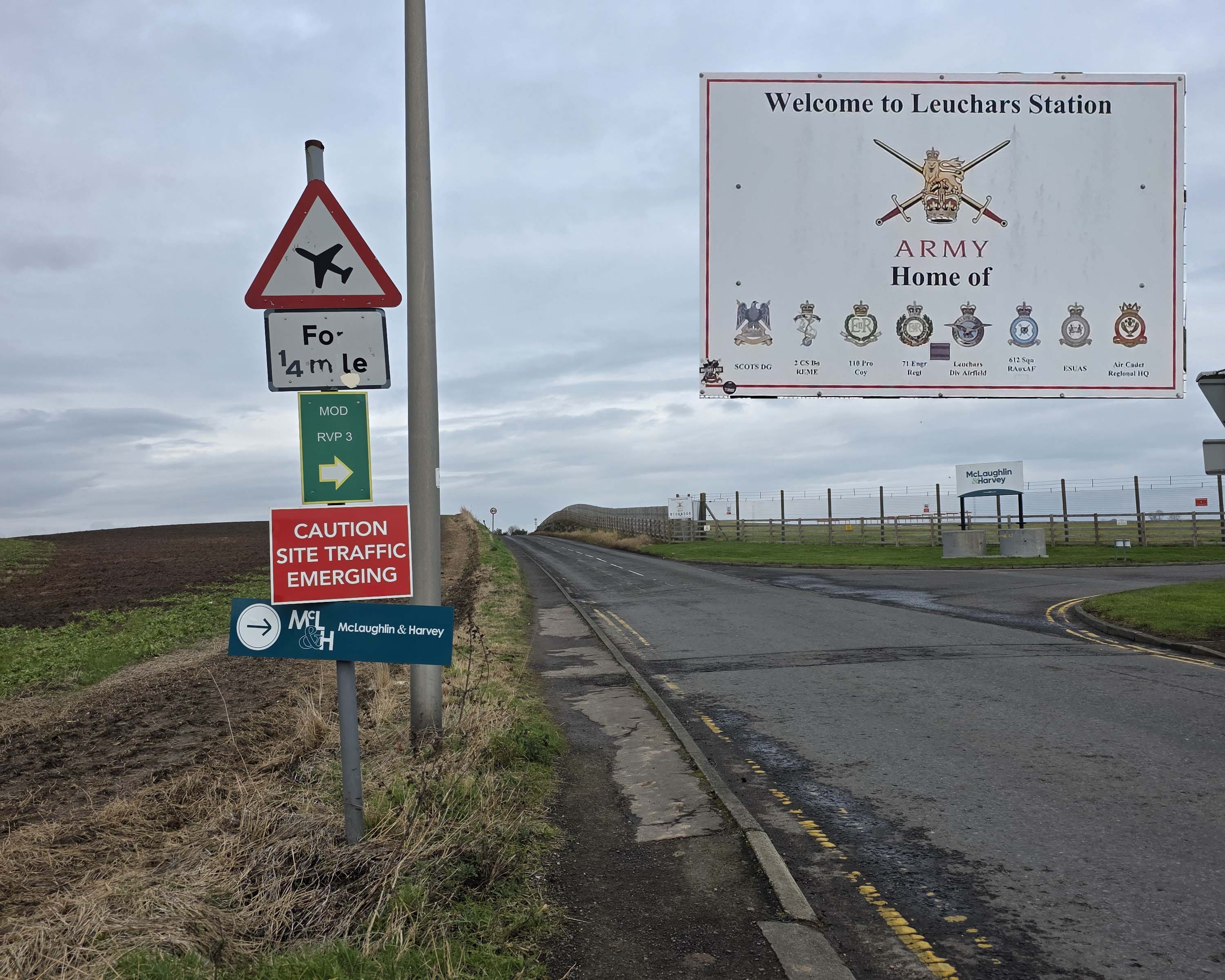
On the right, it becomes increasingly clear that you are hugging the edge of Leuchars Air base; there are no pictures due to the very large, regularly repeated and threatening ‘no photos’ signs, as well as ‘no drones’ and soon, guard dog warnings.
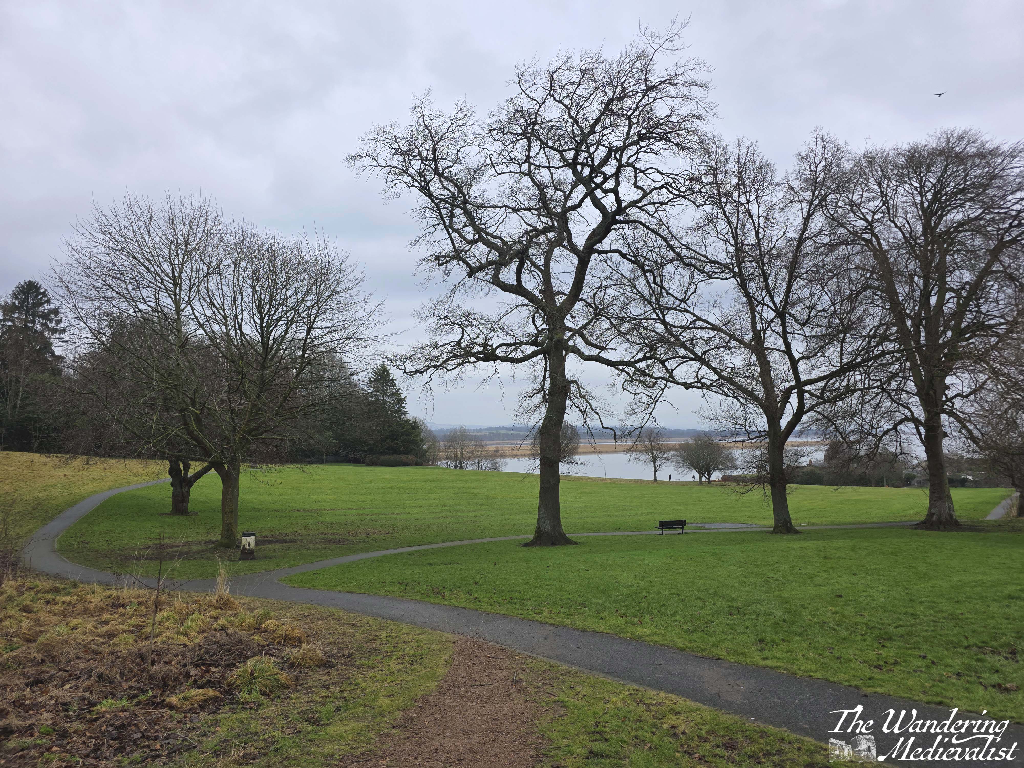
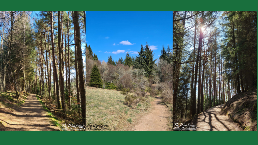
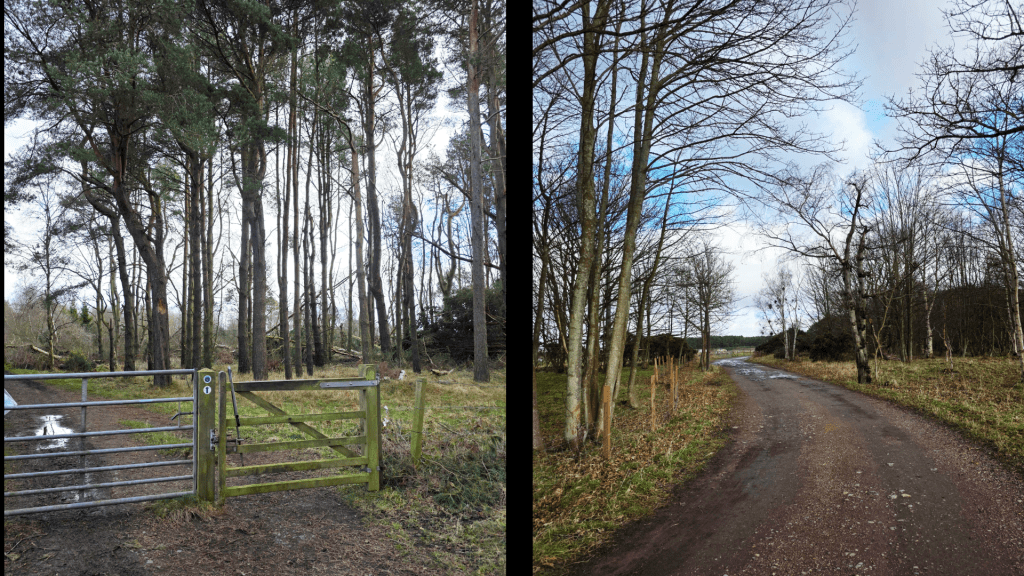
The path skirts past a large radio tower and I started to wonder if I was lost when finally the sign appeared on a gate, directing off of the road and onto a wide farm track. This track curves several times through a beautiful stand of silver birch, passing fields of horses on the left, before going through another gate and entering the stands of tall pines.
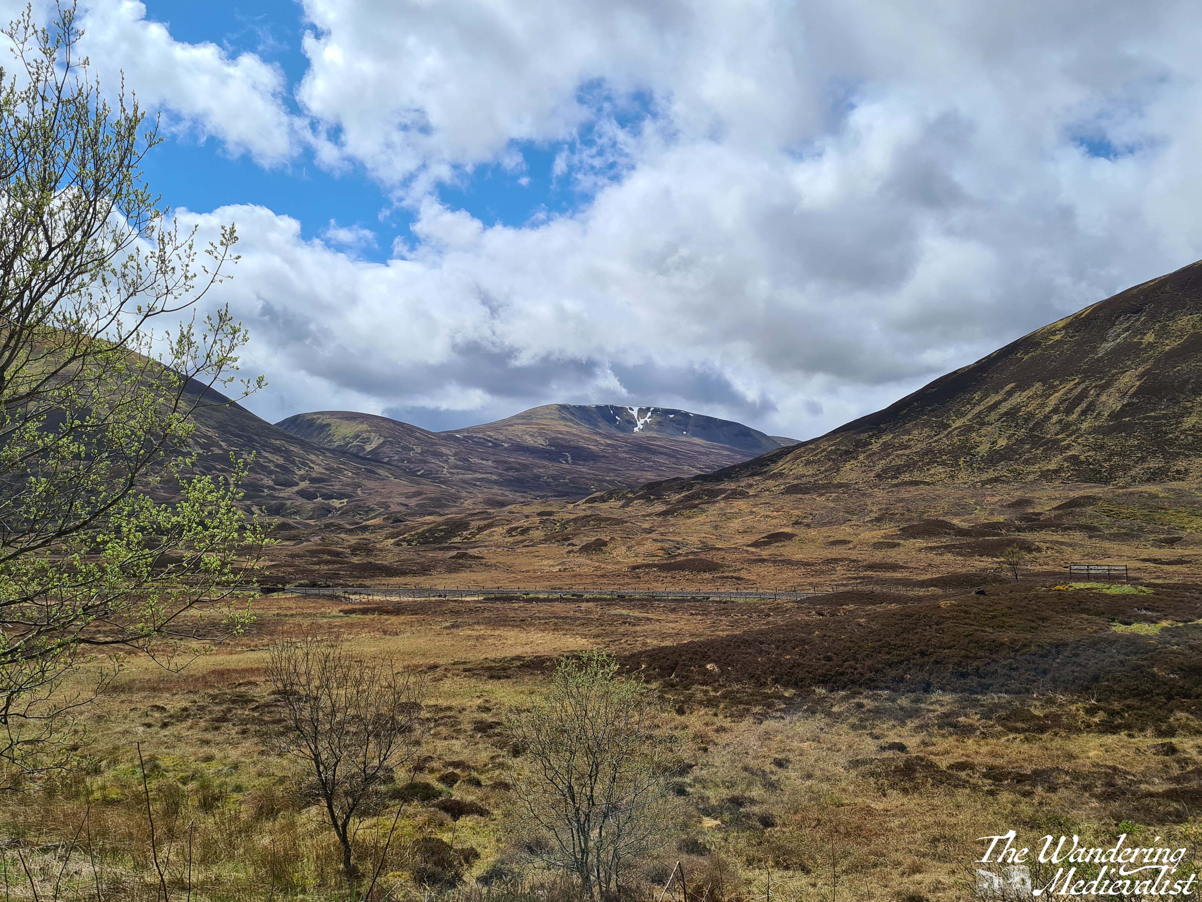
This is about when I started to catch hints of revving from the nearby motocross track, an irritating sound when one is enjoying a nature walk, but eventually it faded into the distance. As the trees closes in around the track it became muddier – I was very happy to have my proper boots – and the revving disappeared into the increased rustling of trees from the wind. It was a bit concerning to look behind me and see dark clouds coming my way, but one of the best things about a windy day in Scotland is that dark clouds tend to be quickly blown past.
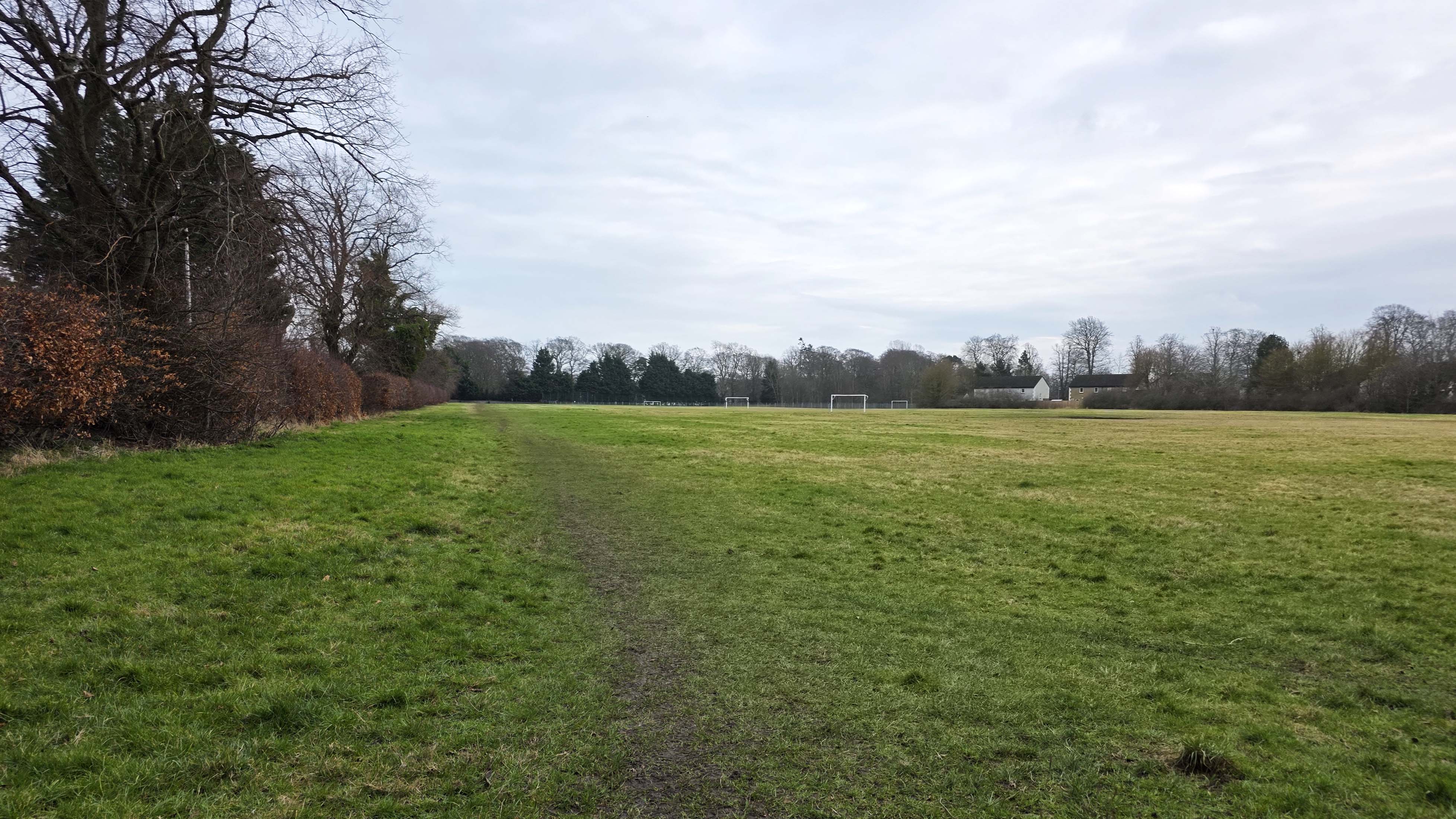
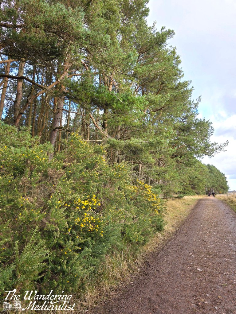
The path is straight here, with fields on one side and tall pines with underbrush of gorse along the other. I can see the appeal of doing this walk at a time of year when bugs are minimal as there are some pools of standing water and animals in the fields. I am quite allergic to gorse so was relieved to see it only just starting to flower – granted earlier in the year than I might have expected. I was making good time here, and I think it was at least partly due to my racing against the approaching rain.
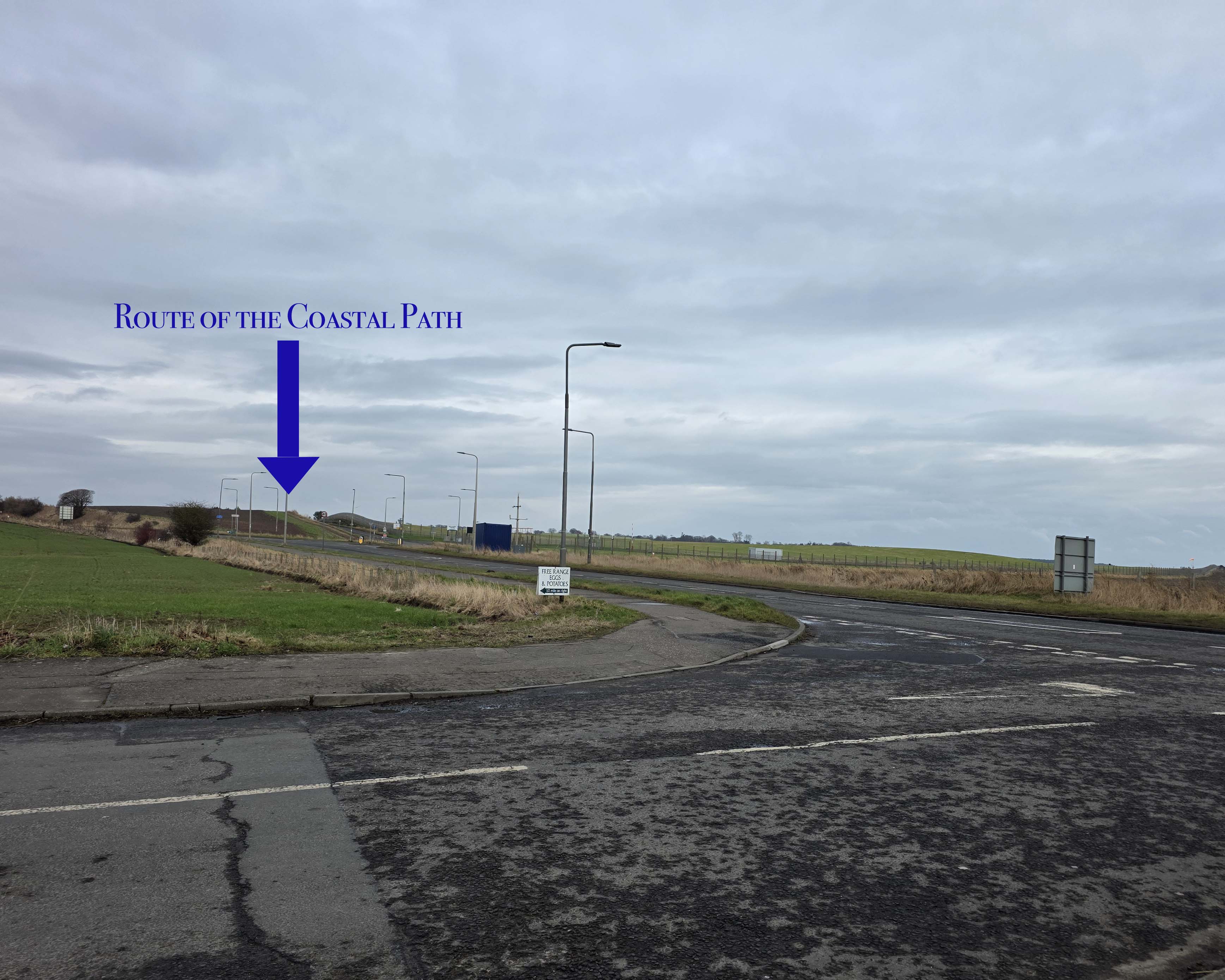
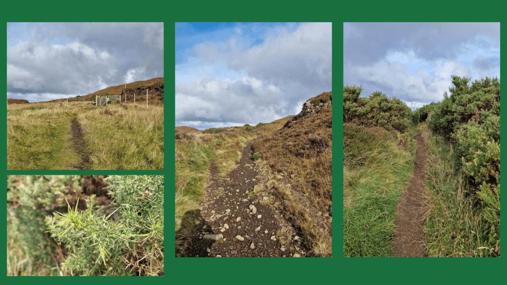
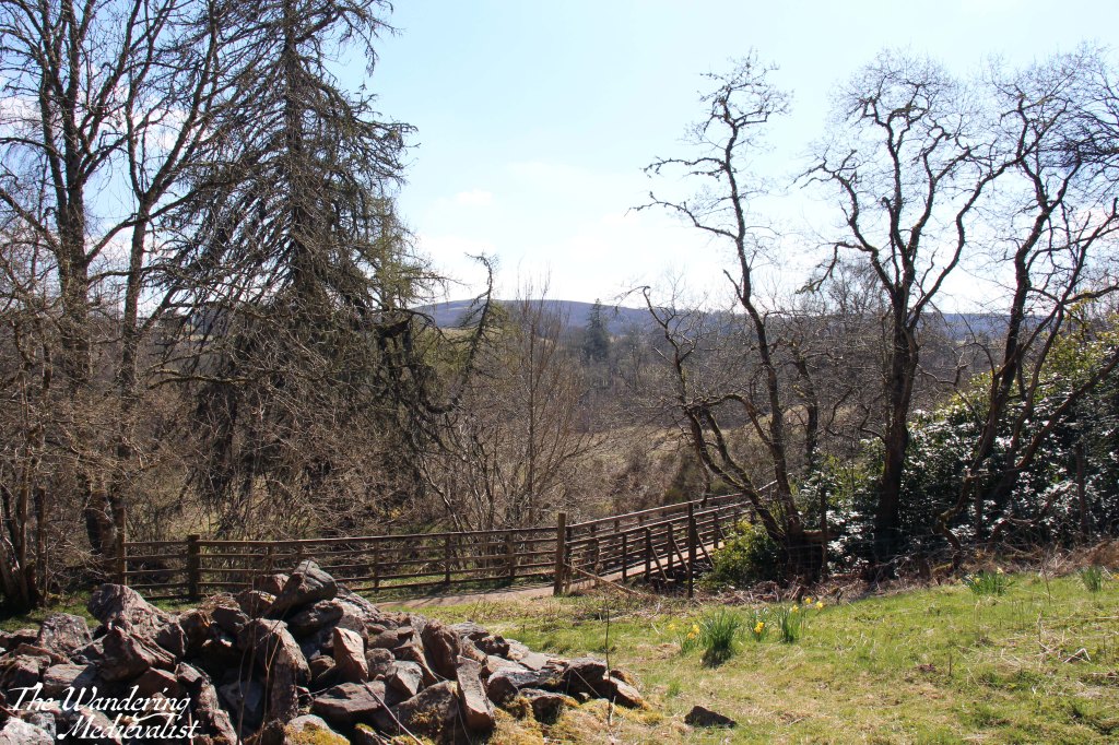
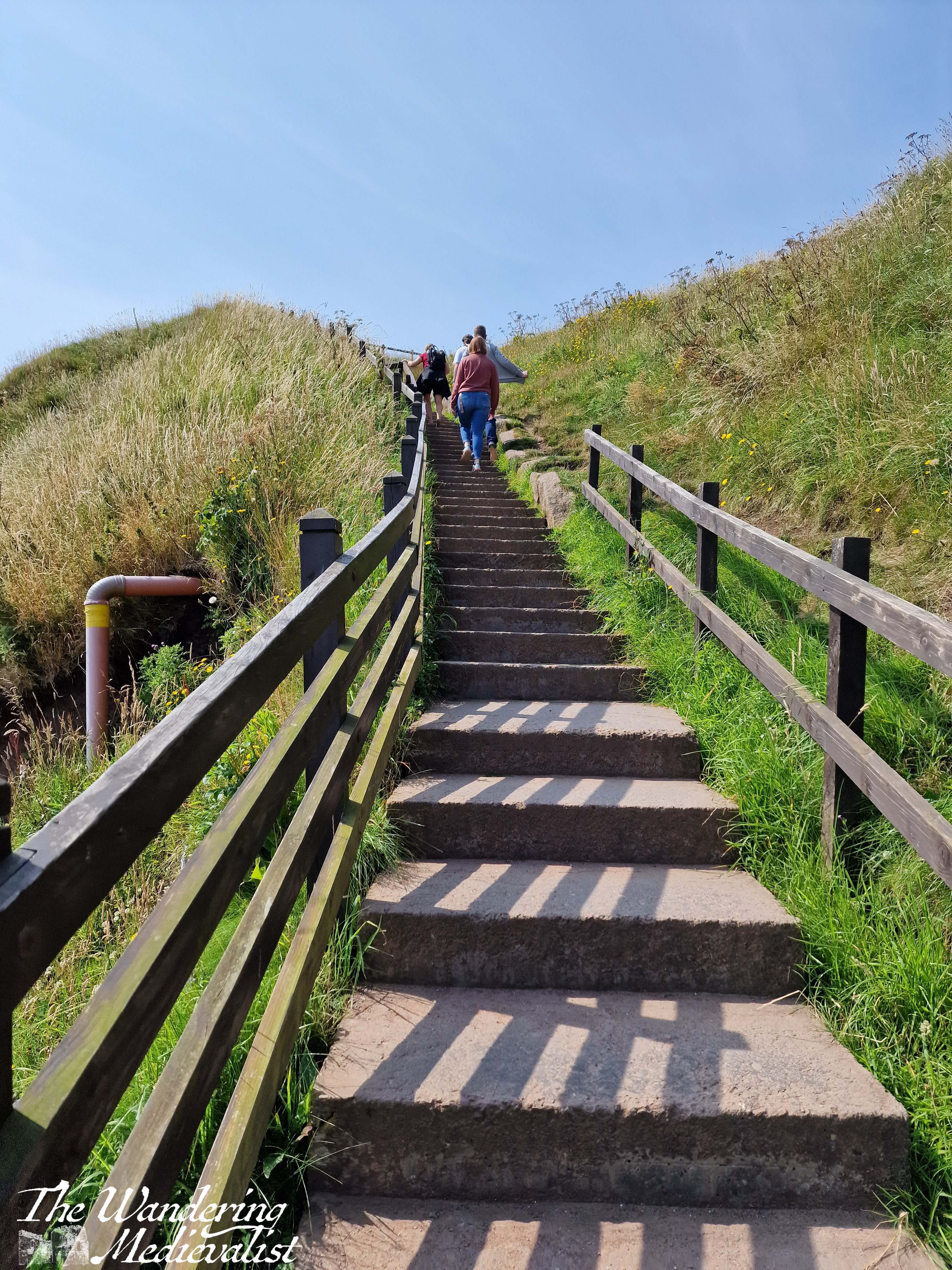
About a mile or so from the castle, the path swings away from the trees and into the fields, approaching what should be a sharp left then right jog of the coastal path. However, this is here my plan ran into a hitch. Not due to impending rain, which somehow continued north and missed me completely, but because the quiet season evidently inspired the Fife Coast and Countryside Trust to do a bit of maintenance on the path.
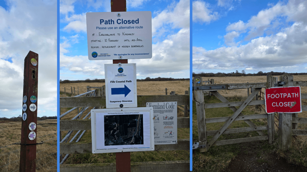
So, as you can see, there was a detour, with a well-marked path leading in the opposite direction. But, I was stubborn and ready for an adventure, and at first glance at the picture, it did not seem as though I would be walking terribly much further than originally planned, and probably in quite similar surroundings. The purist in me will insist upon re-doing this section, but for now it was the best I could do.
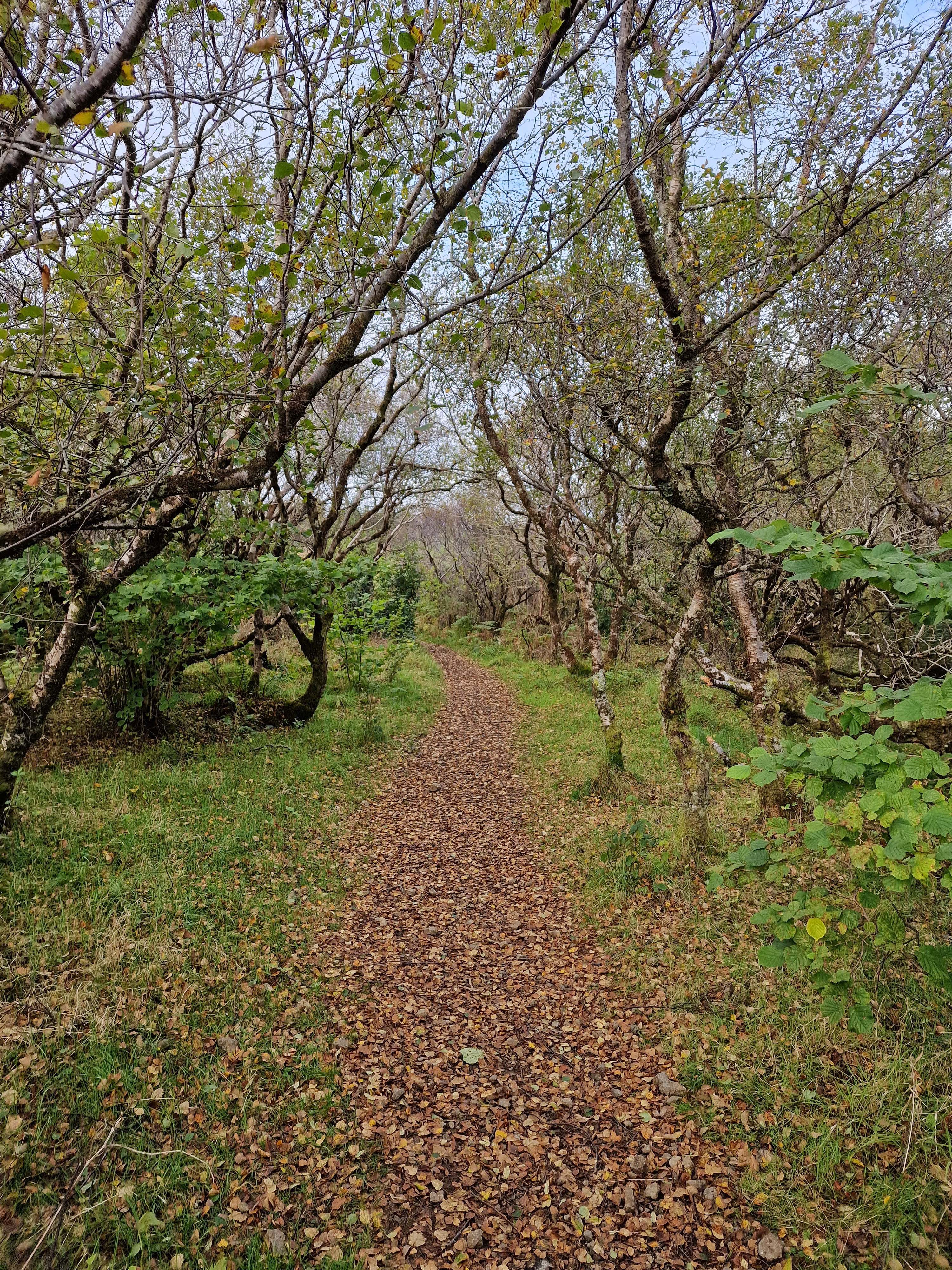
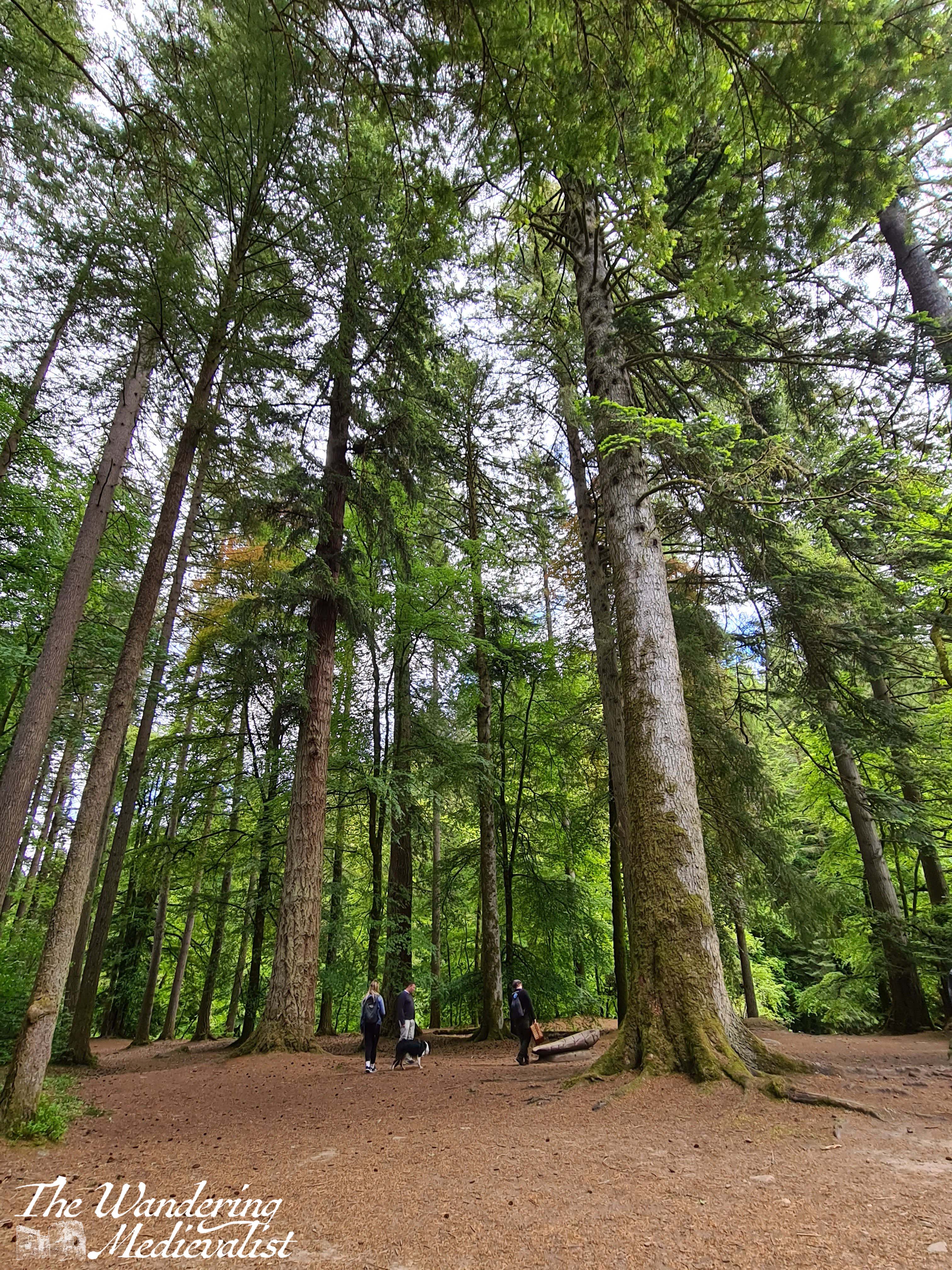
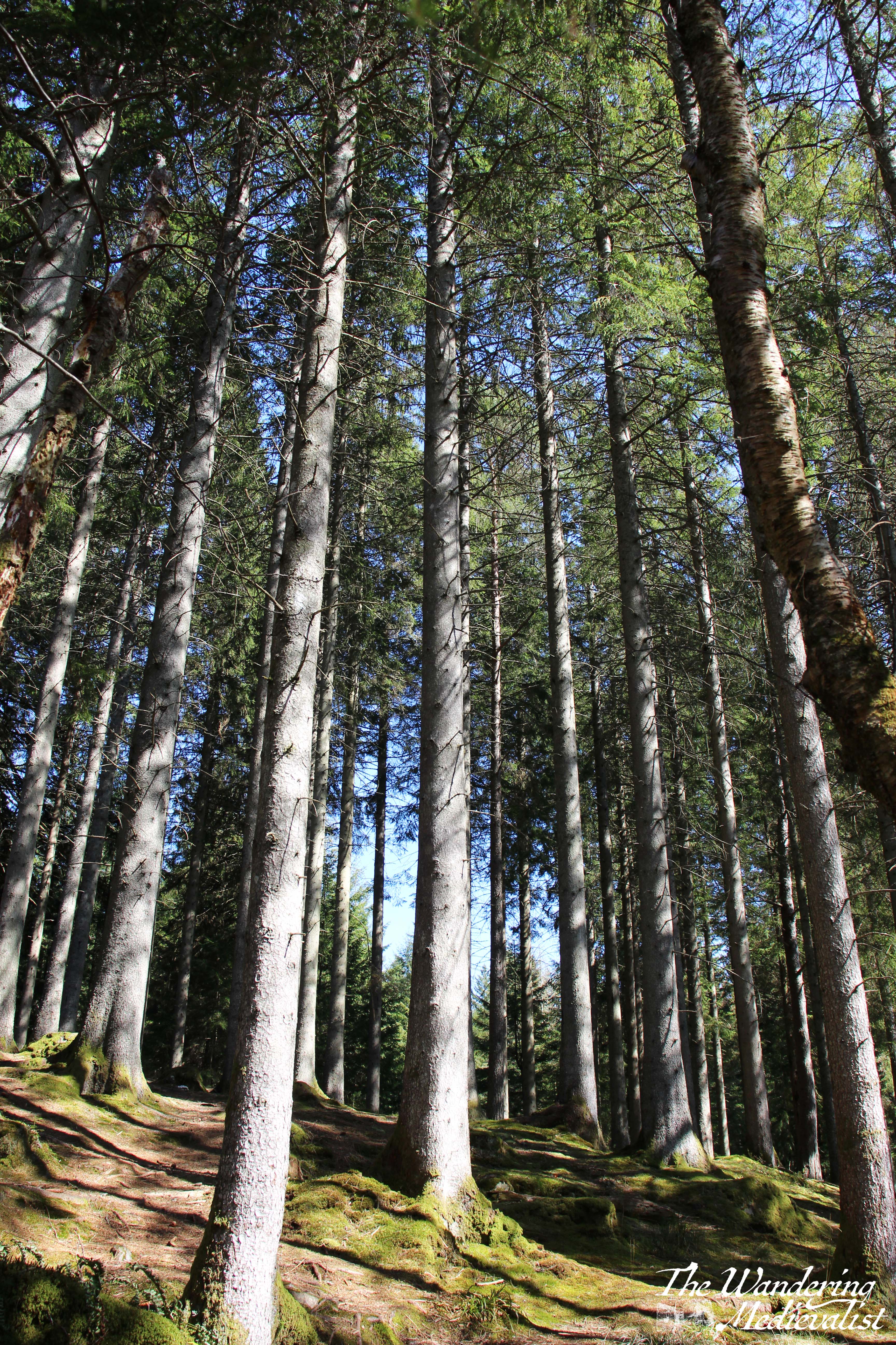
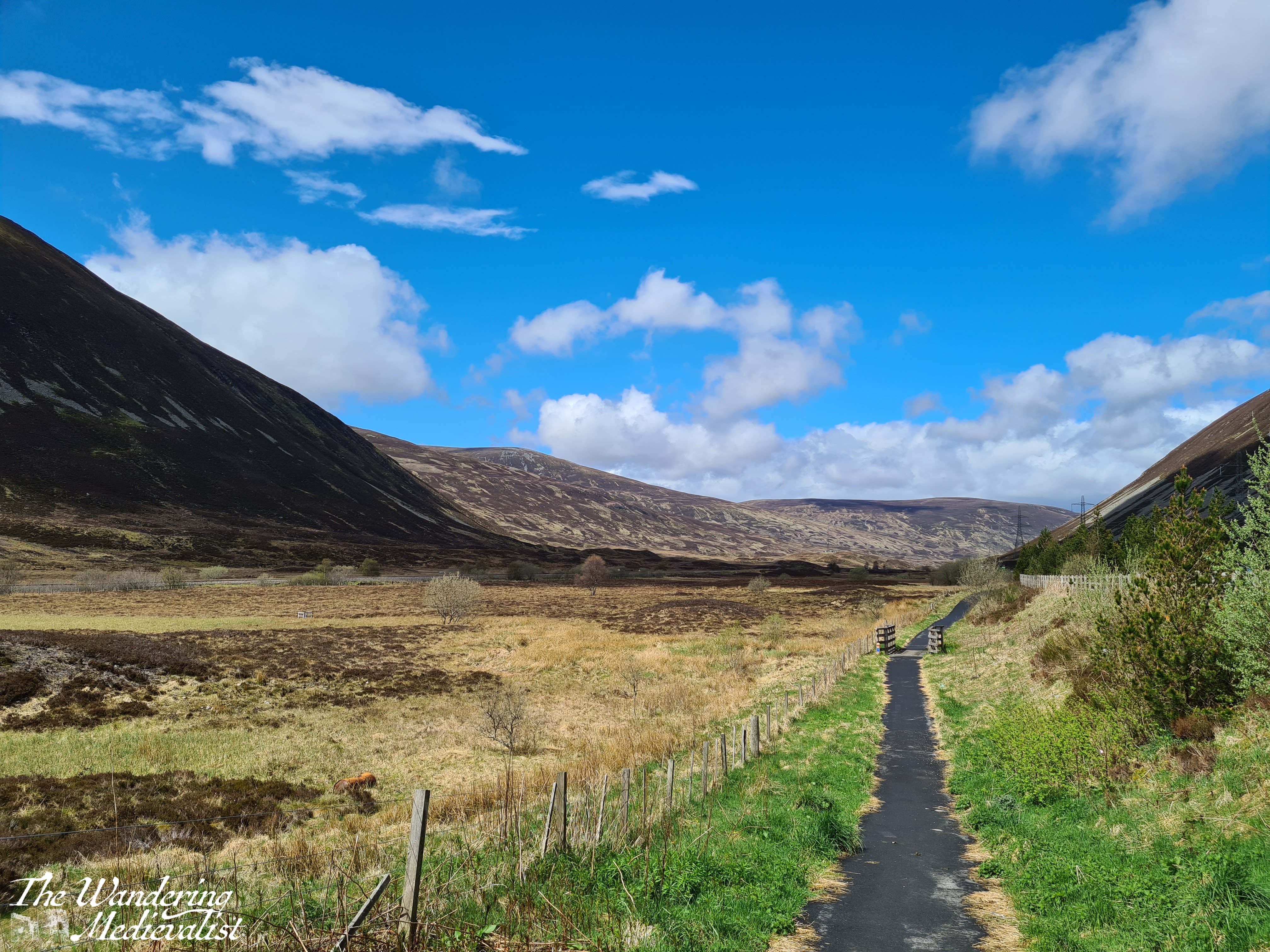
Muttering slightly to myself, I set out along the farm road indicated, with fields on one side and the base on the other. It became clear that the road followed the edge of the MOD property which was appropriately signposted with threats. On both sides of the fence there was damage to trees from recent storms, but generally was a pleasant, quiet trail on which I passed only a few cyclists and one horseback rider. The aggressive signs slowly became overgrown by gorse – arguably a more effective barrier than metal fences – and on the left high grass gave way to another stand of tall, straight pines. In about 3/4 of a mile, the path heads straight into the trees and it became a really pleasant stroll through the woods. Finally, I figured, we were heading towards the coast.
Eventually.
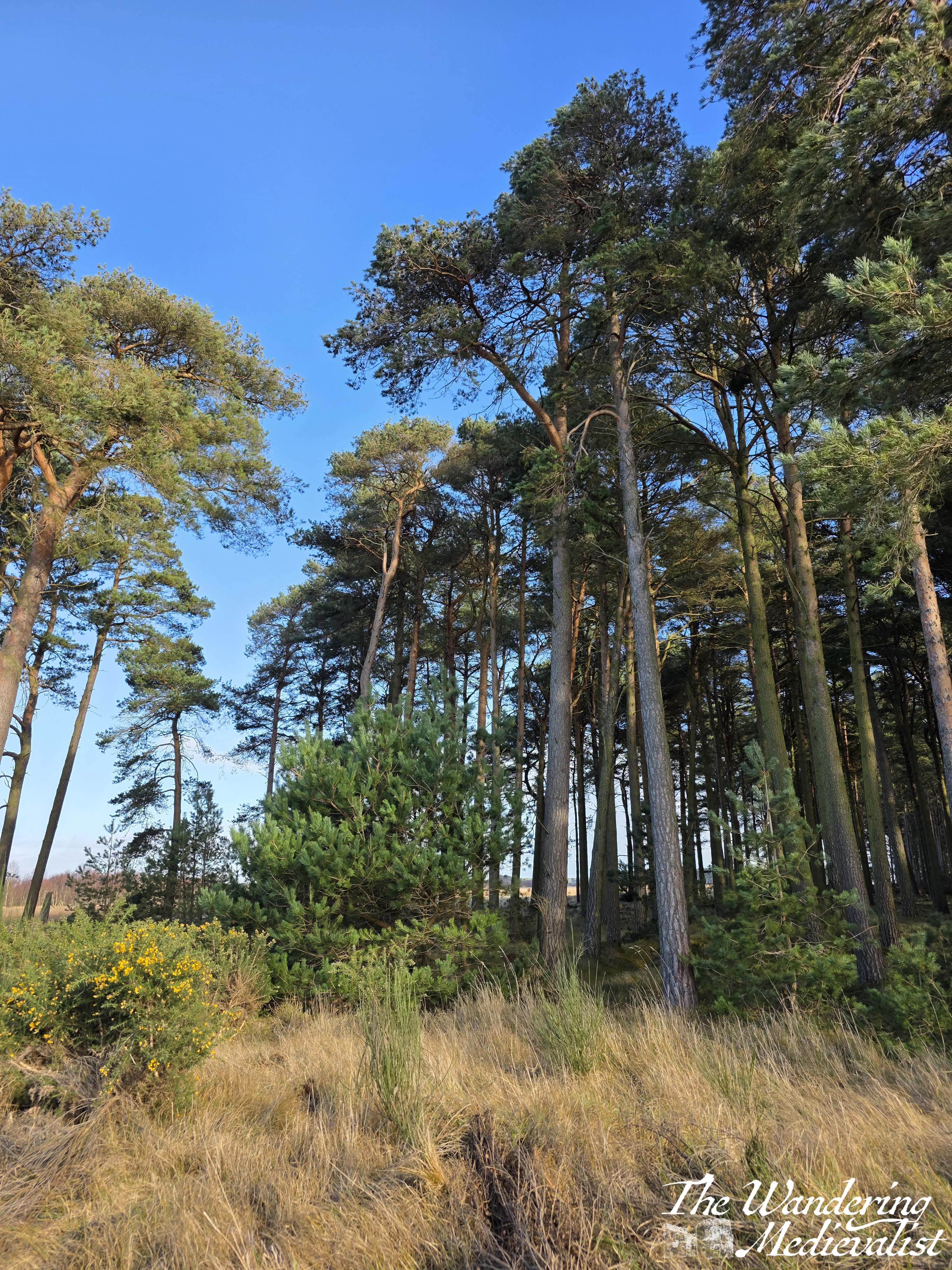
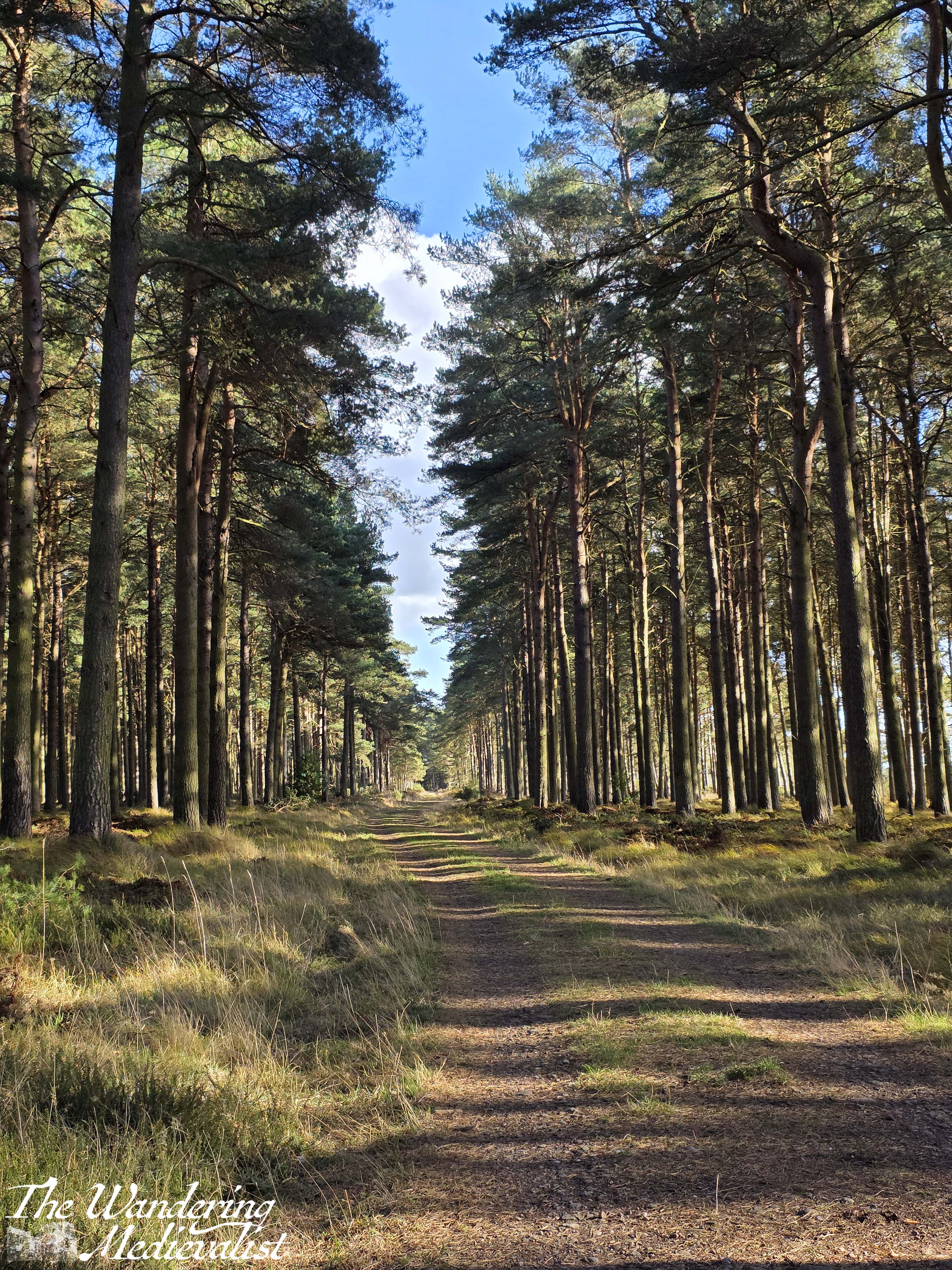
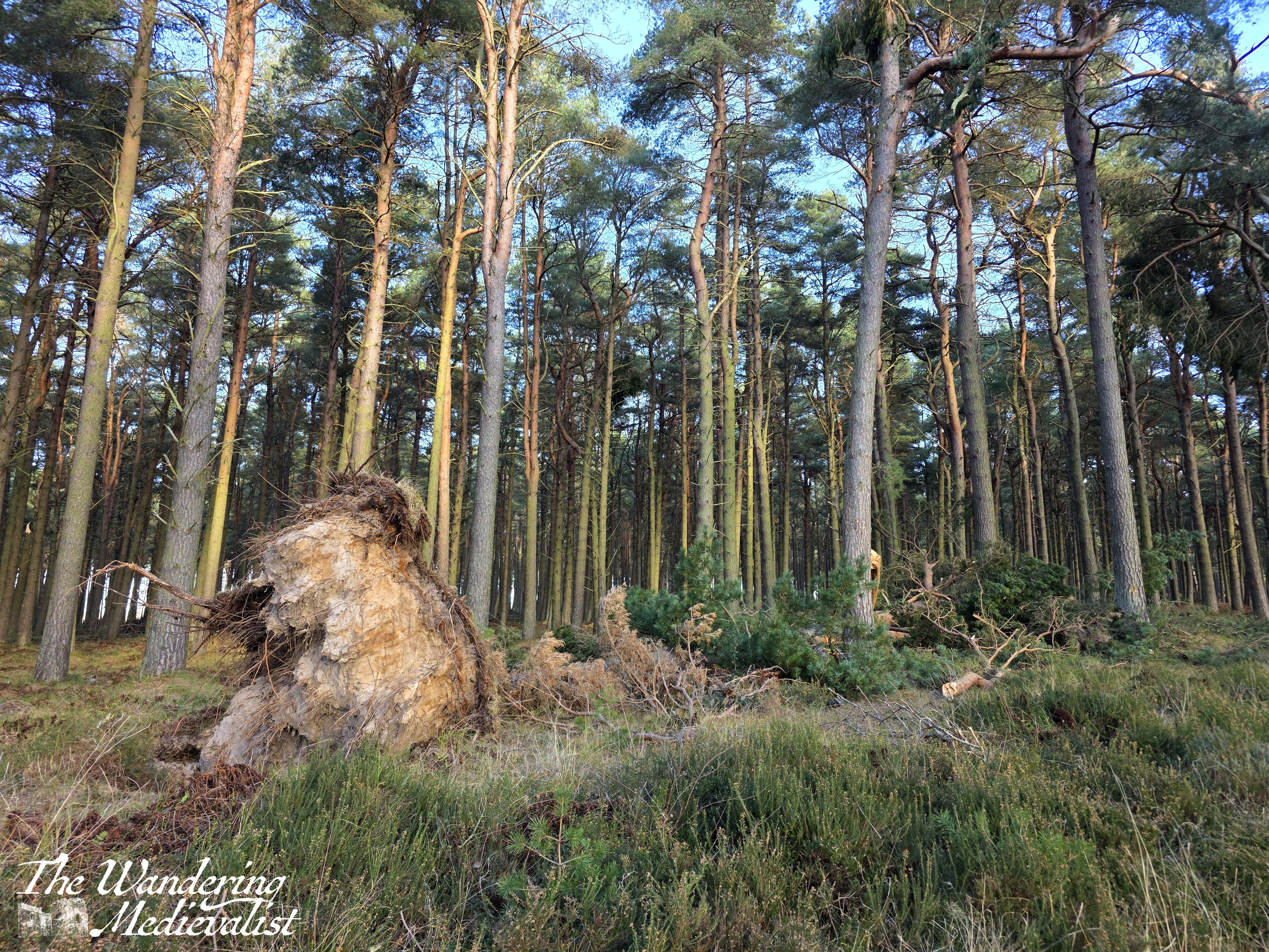
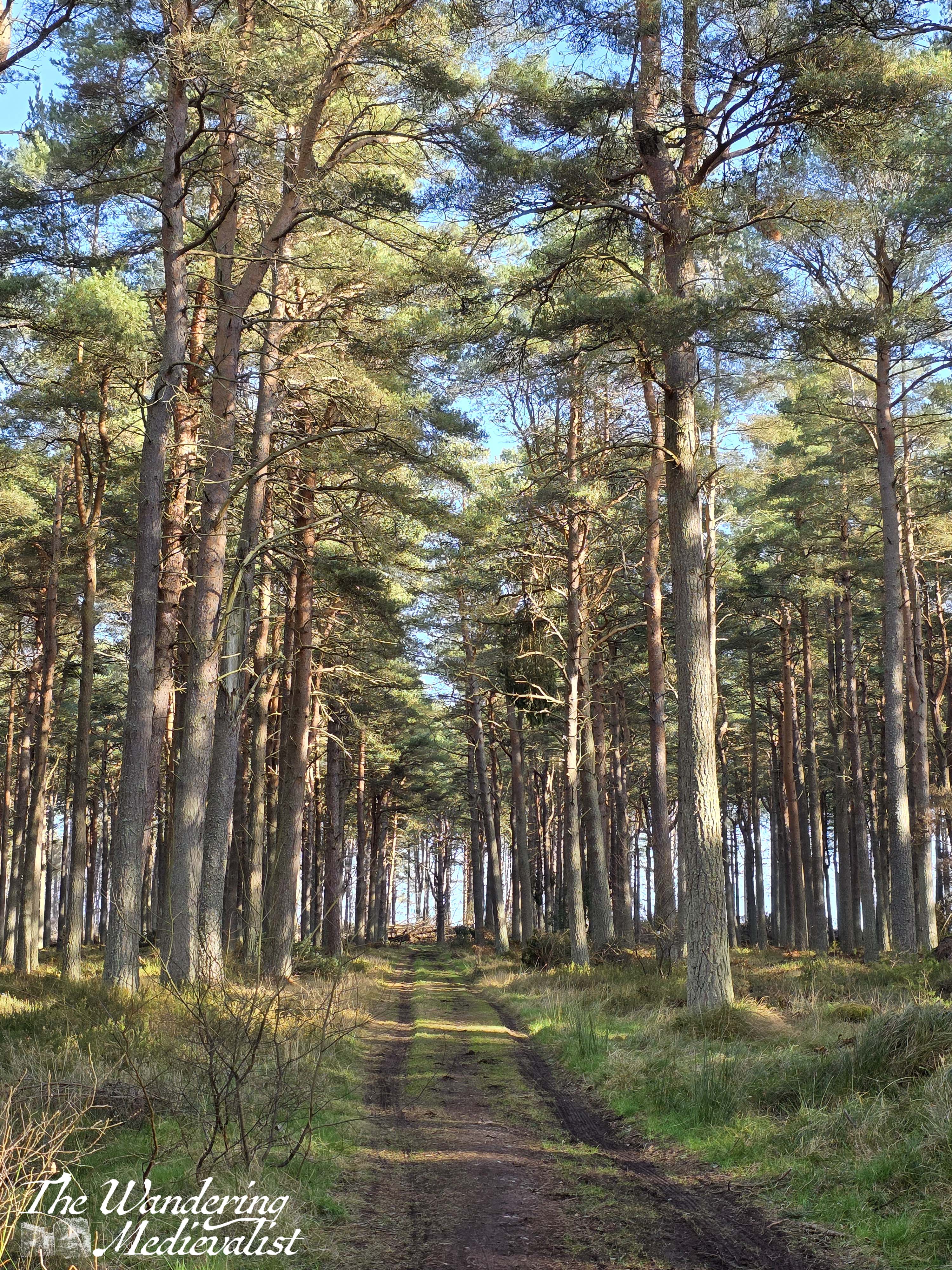
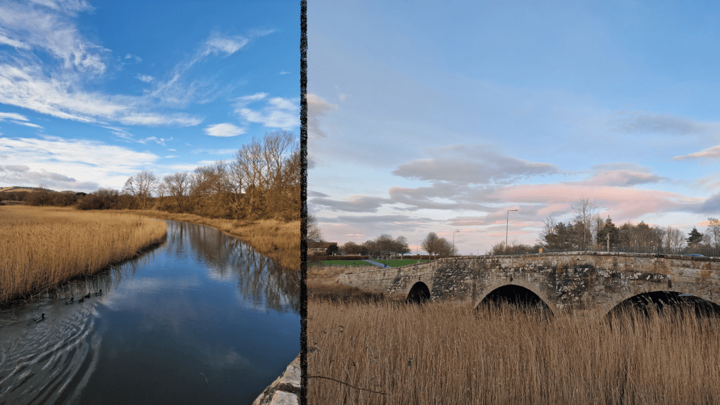
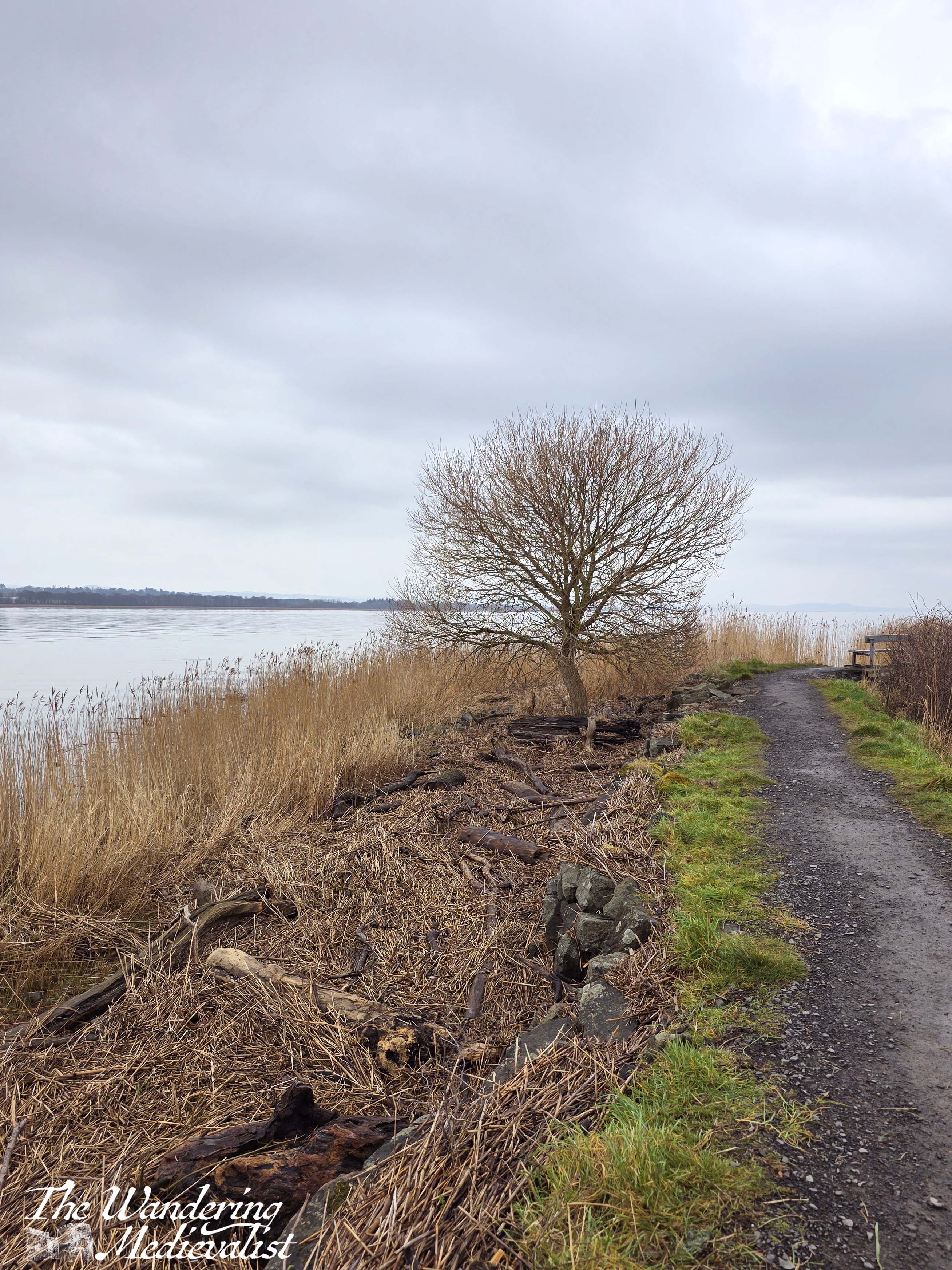
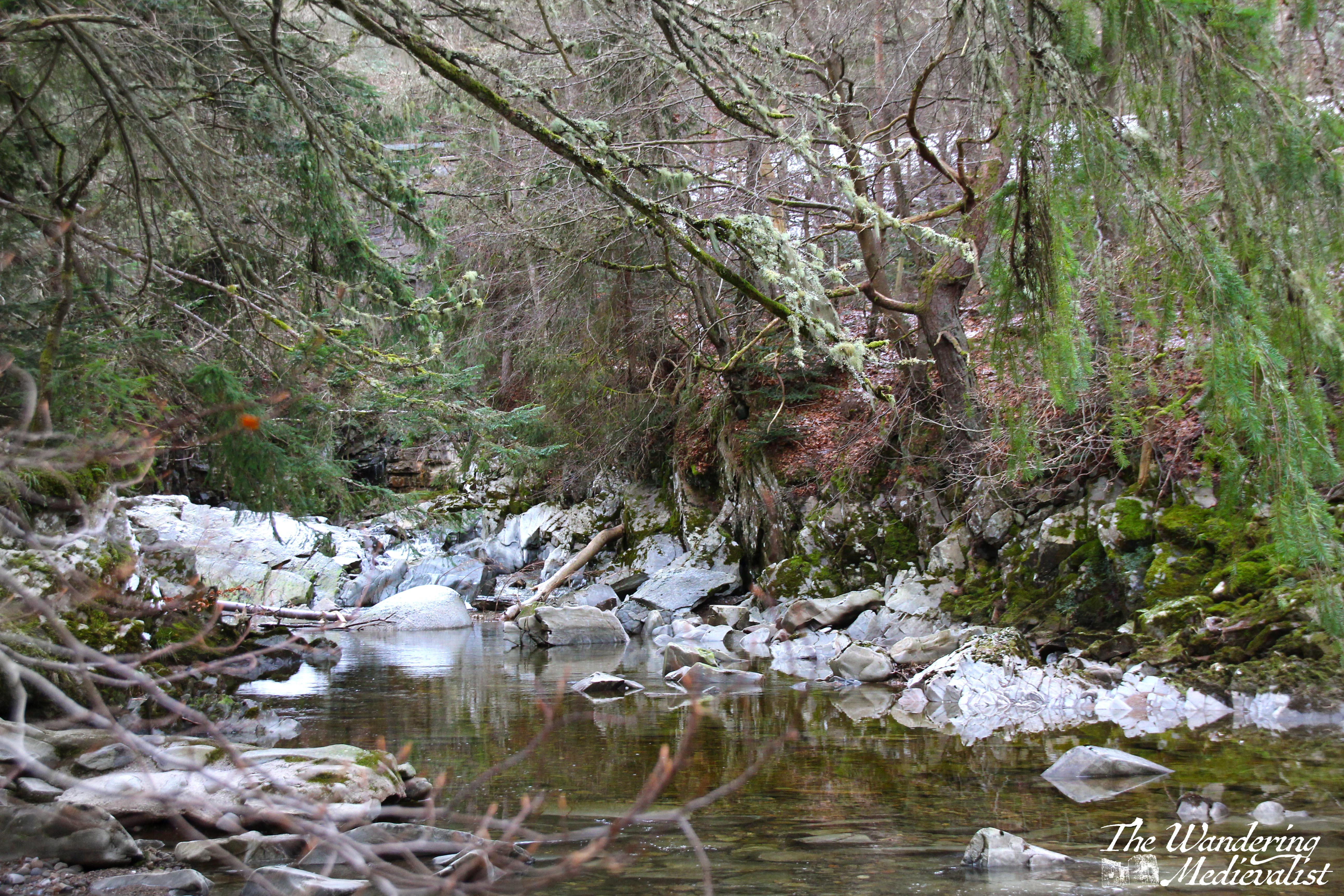
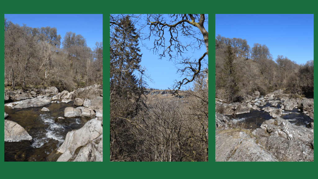
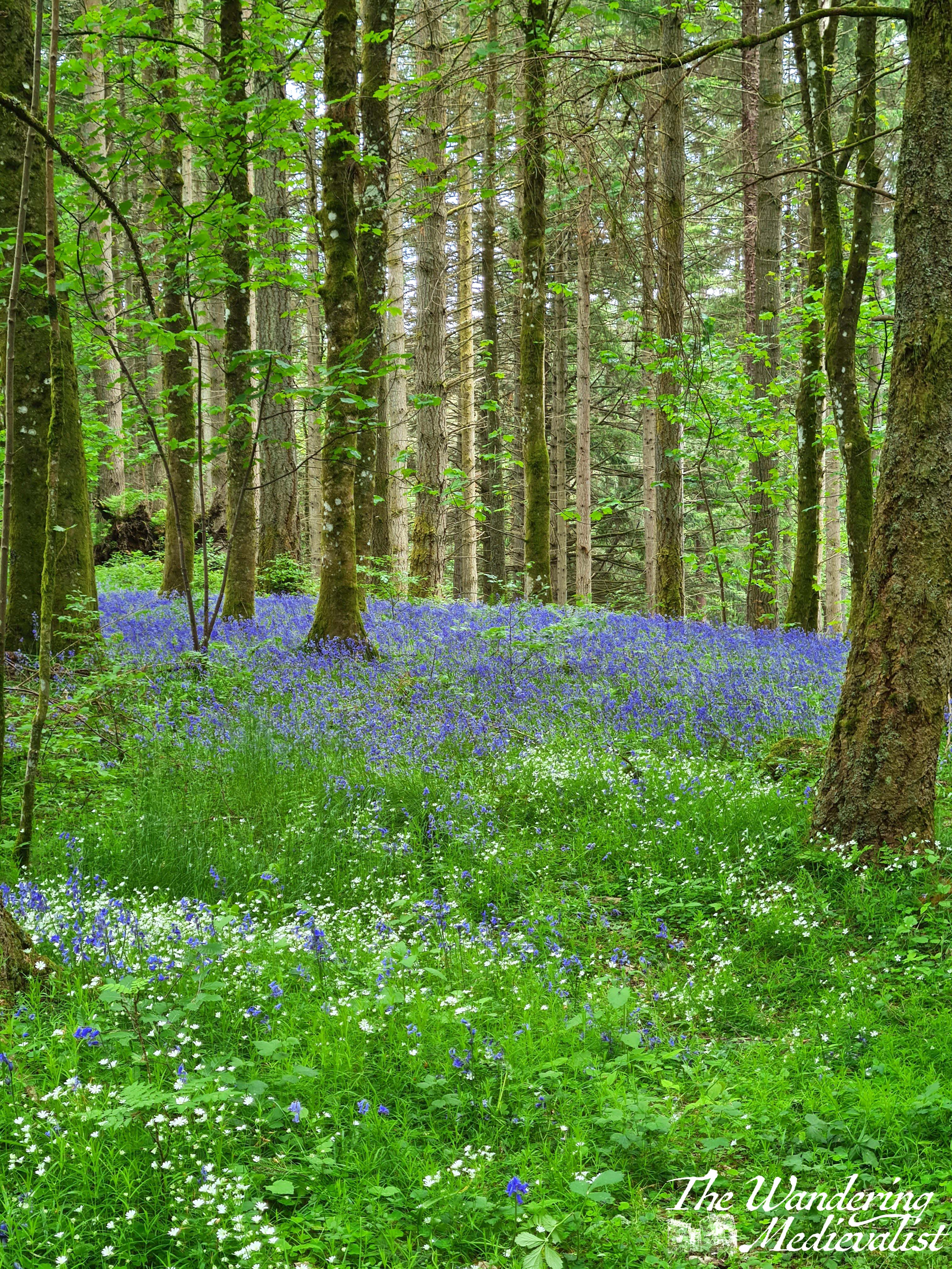
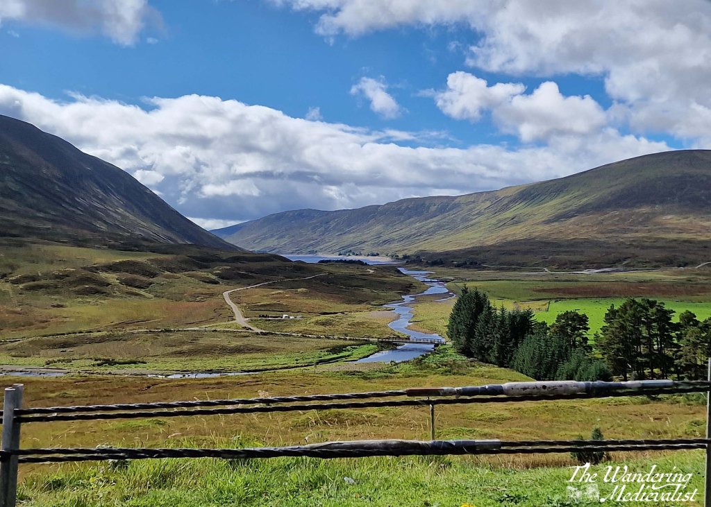
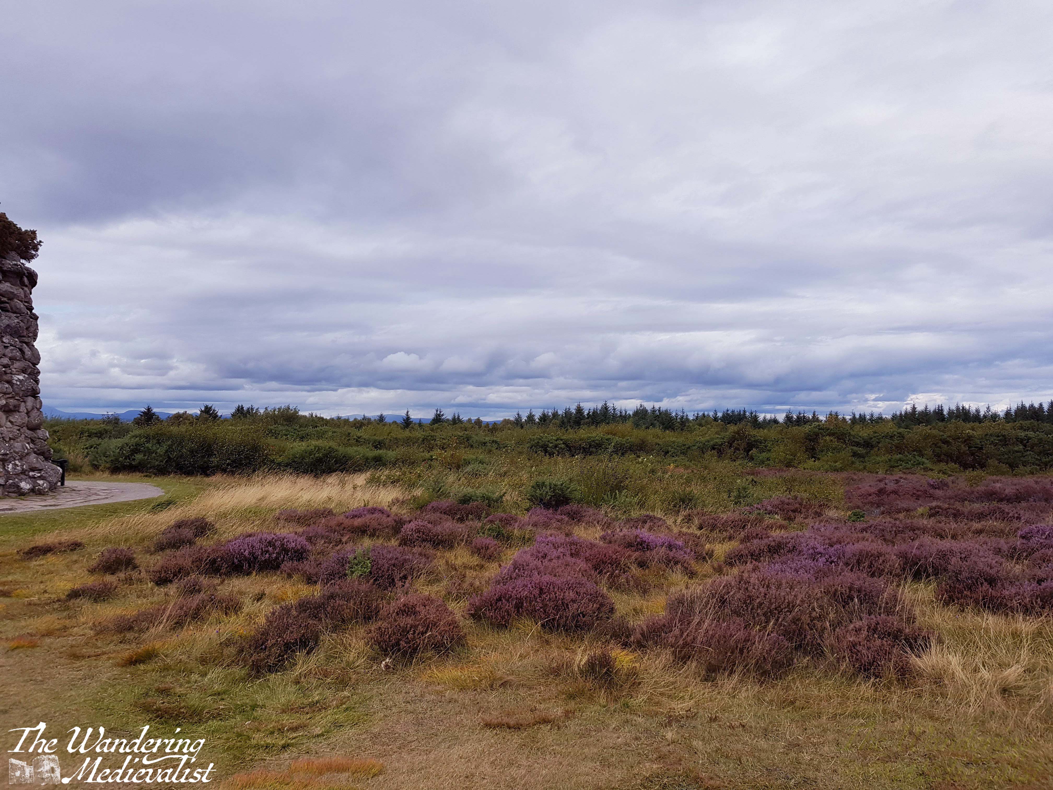
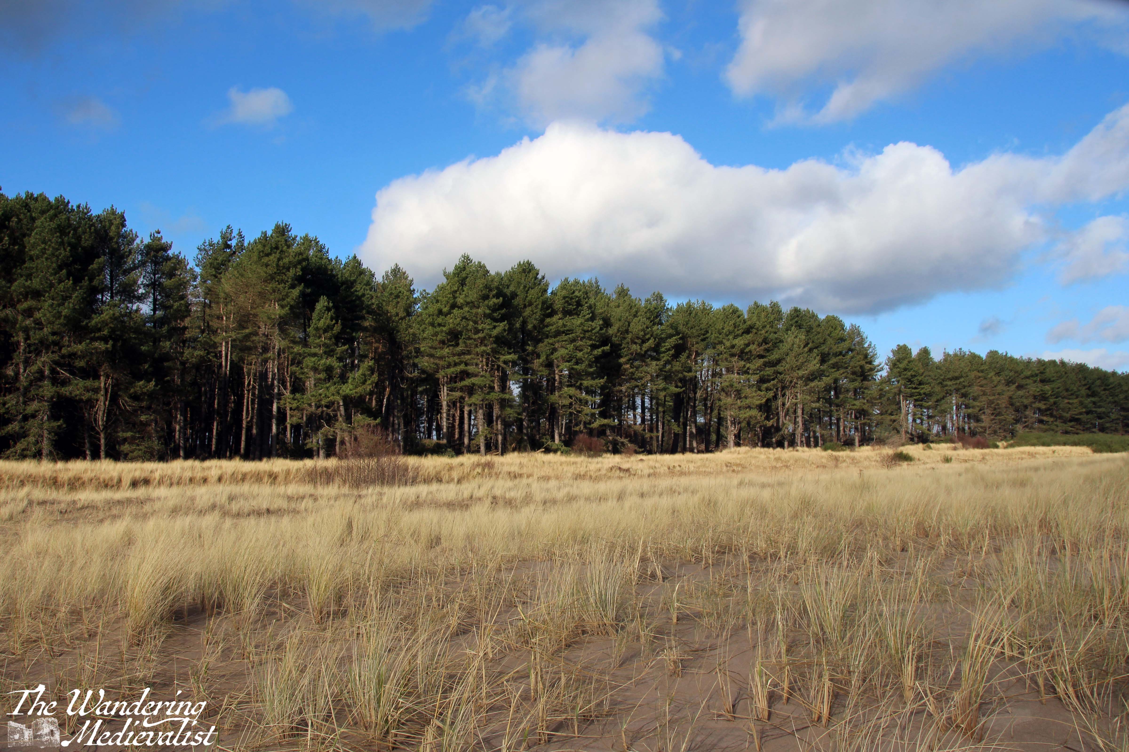
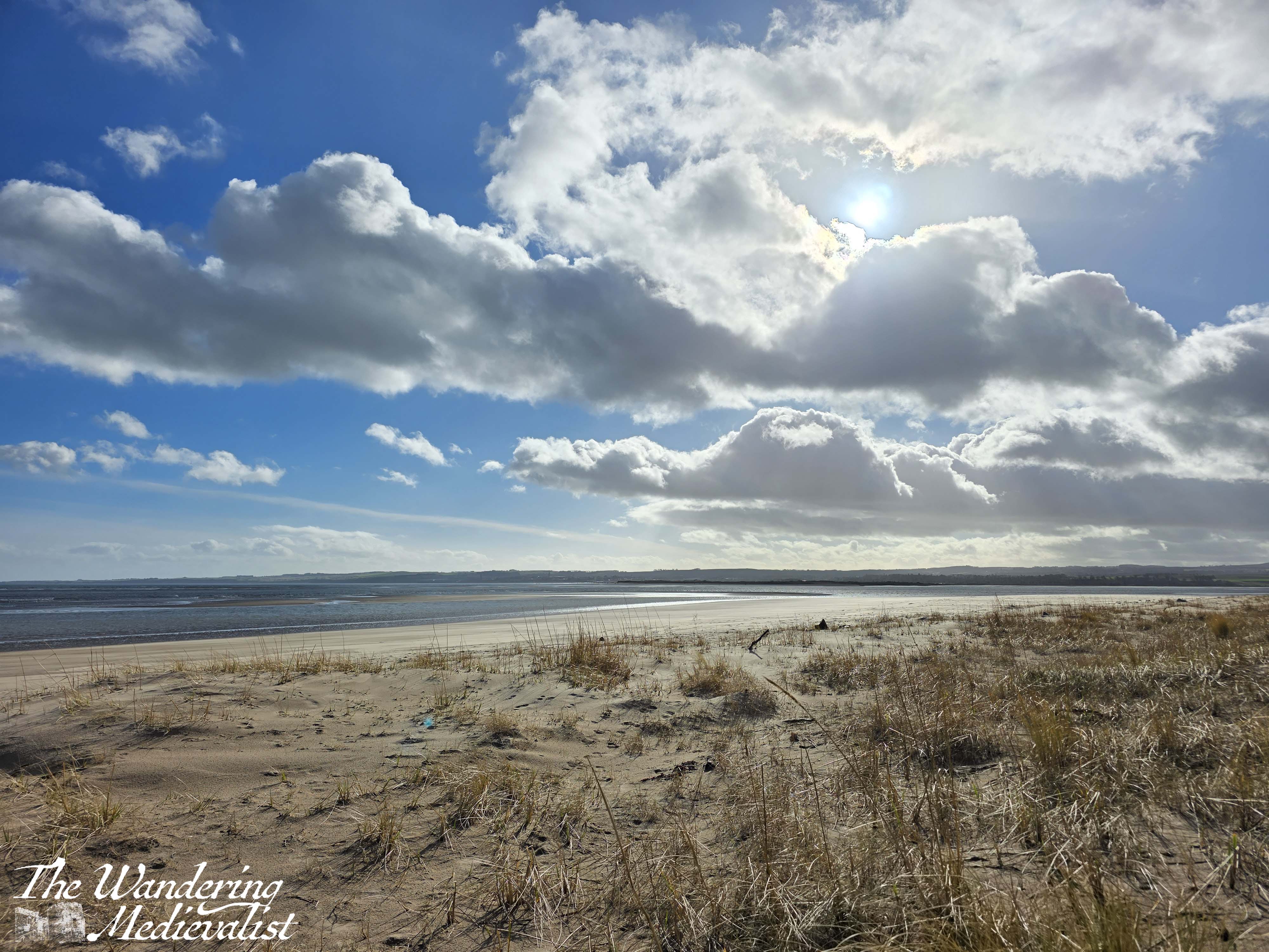
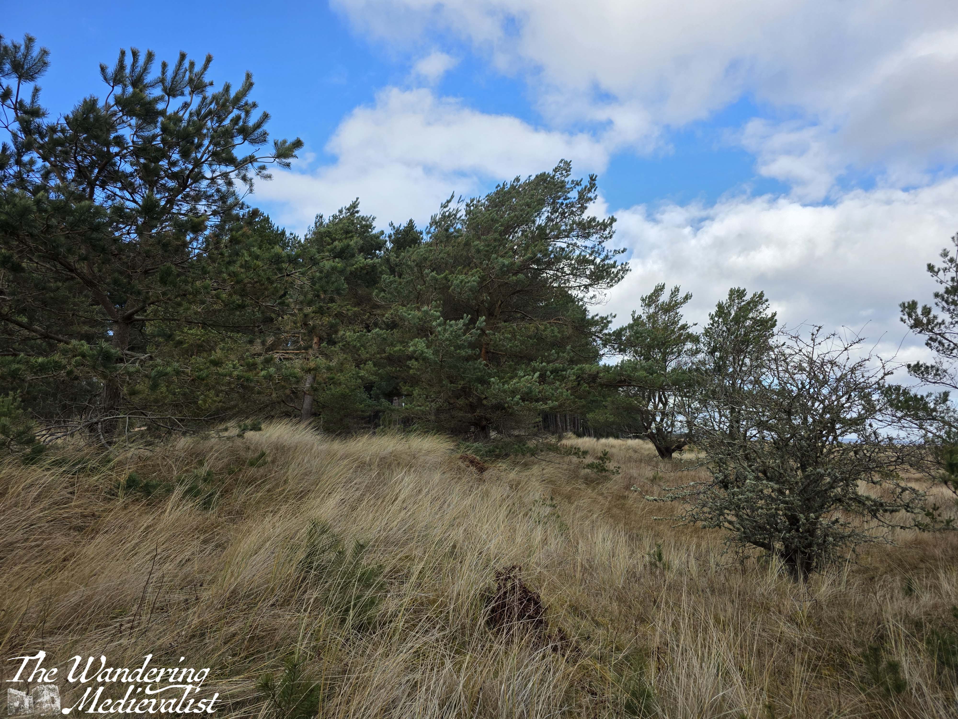
Storm damage became more and more evident as I walked, though I also noted that this would be a stunning walk at a time of year when the heather was blooming, as it carpeted the edge of the tree line and the forest floor. This stretch through the trees was a bit longer than I expected, and then just as I wondered if I was stuck forever in the forest tunnel, I realised that behind the distant trees was the blue of the open sky. Patches of sand interrupted the dirt trail, and many more fallen trees were stacked in piles – all signs of the approaching open coastline.
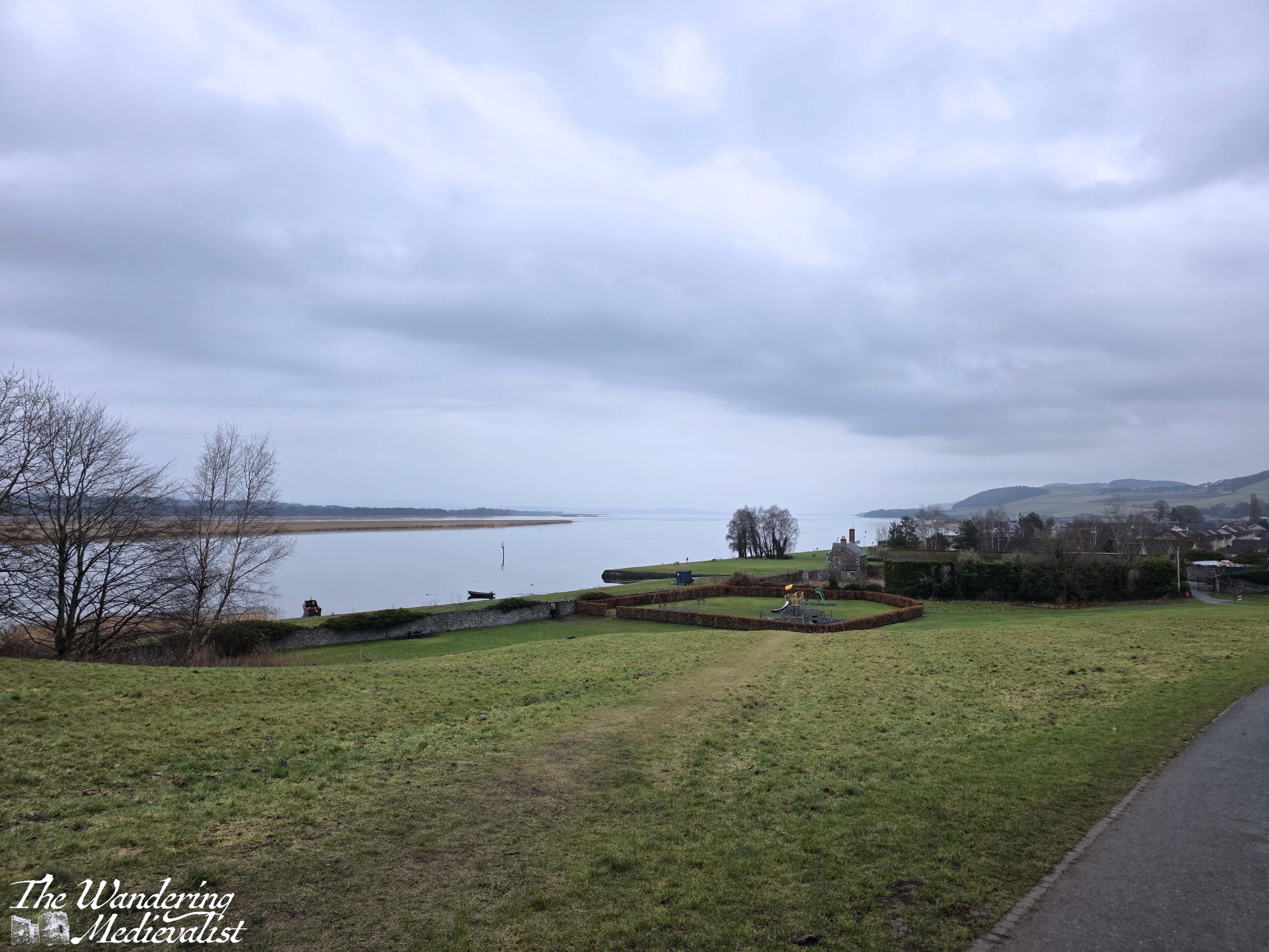
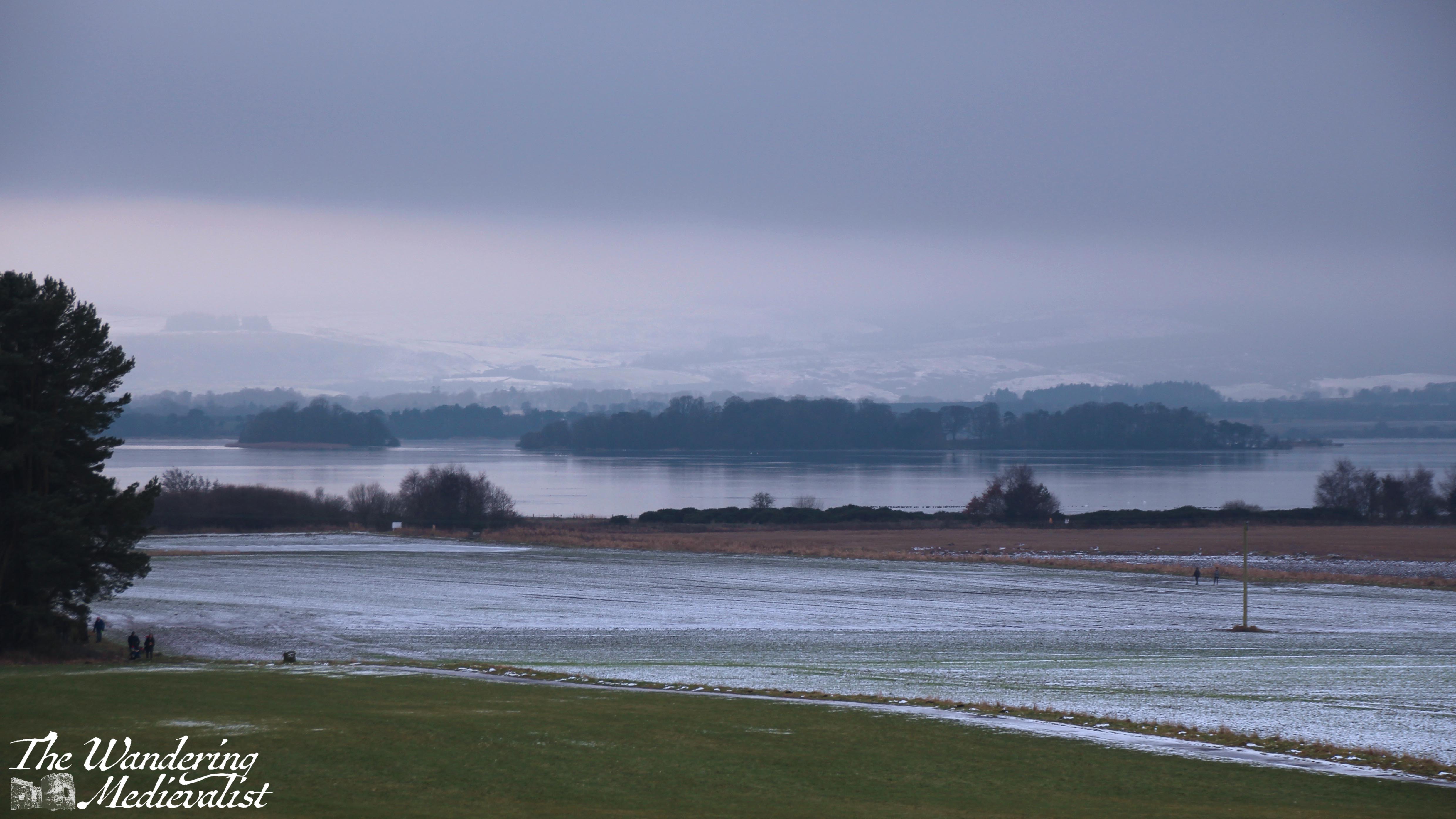
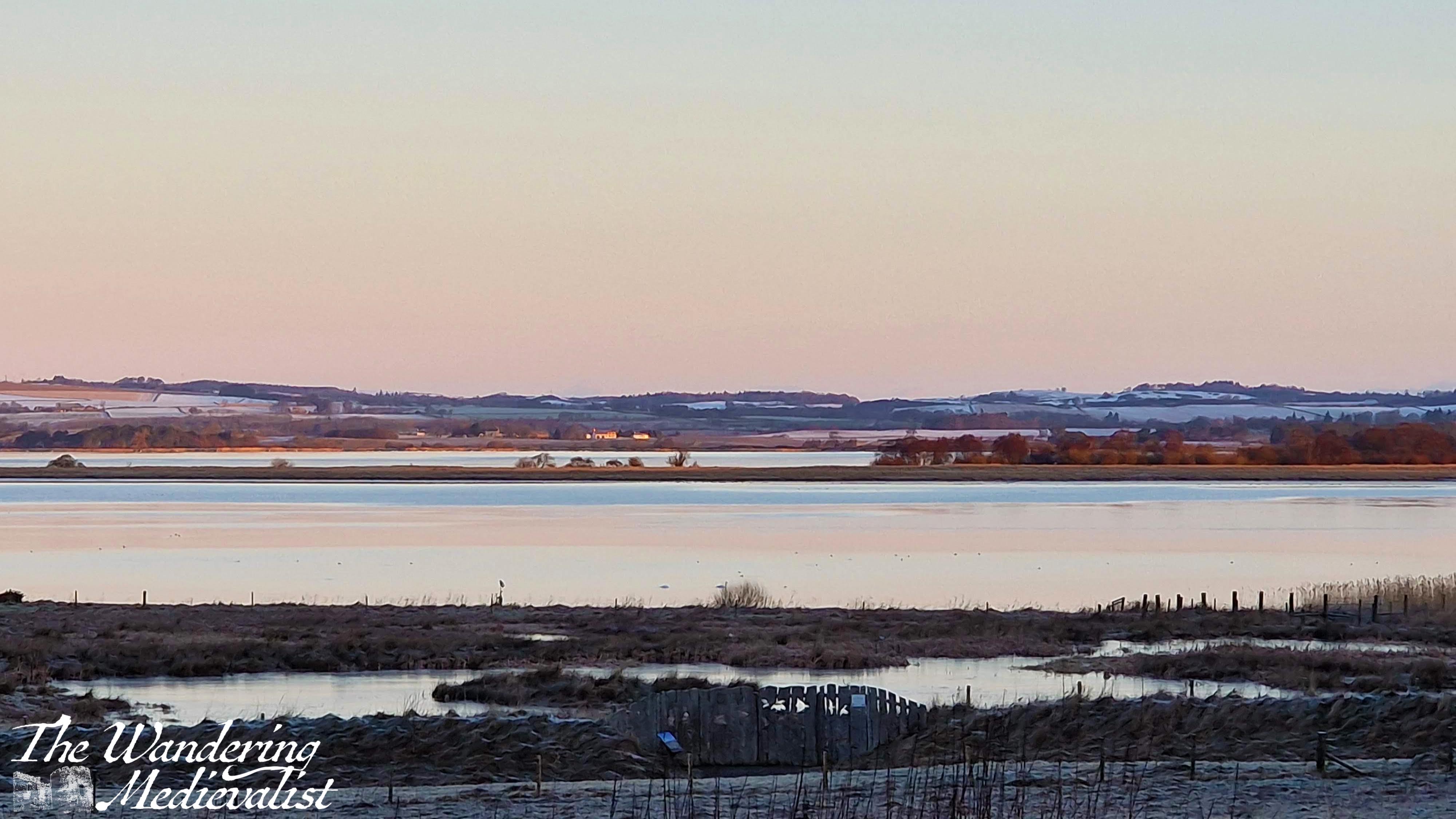
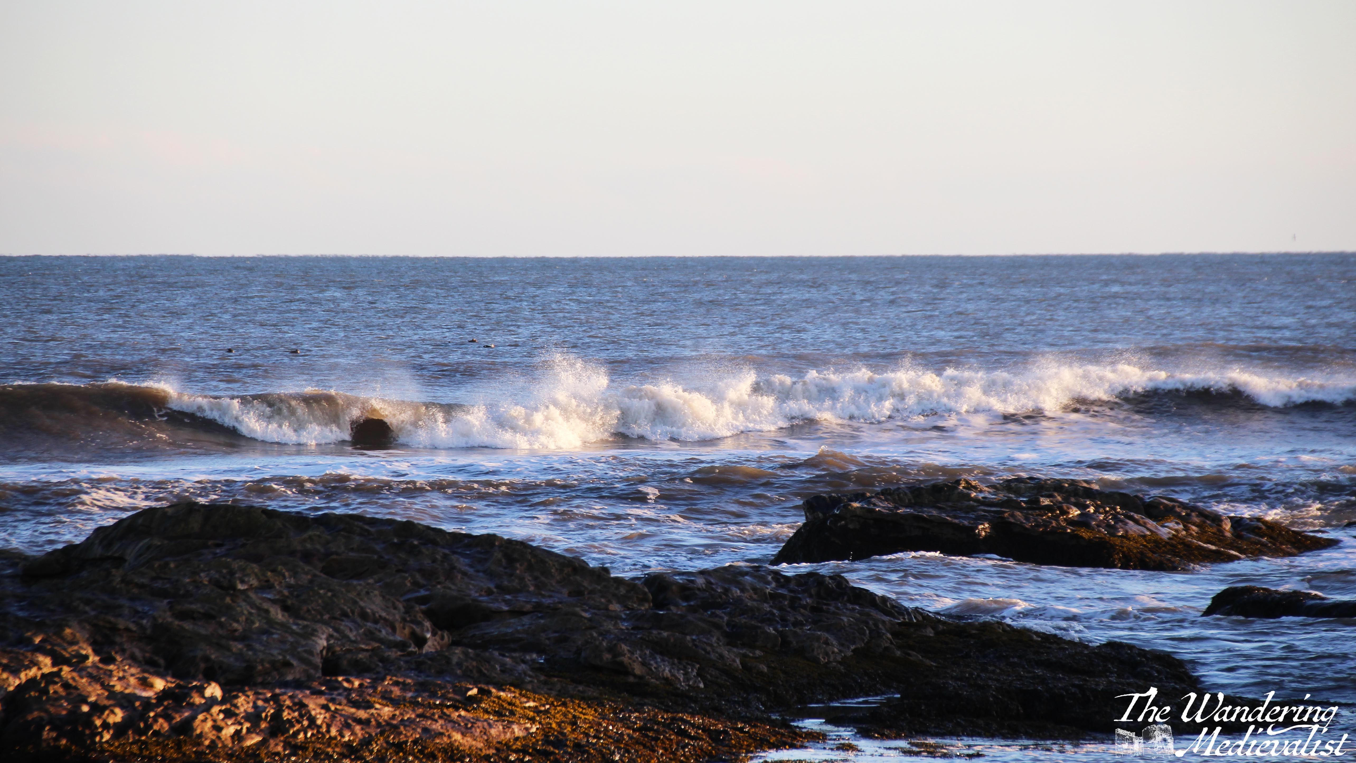
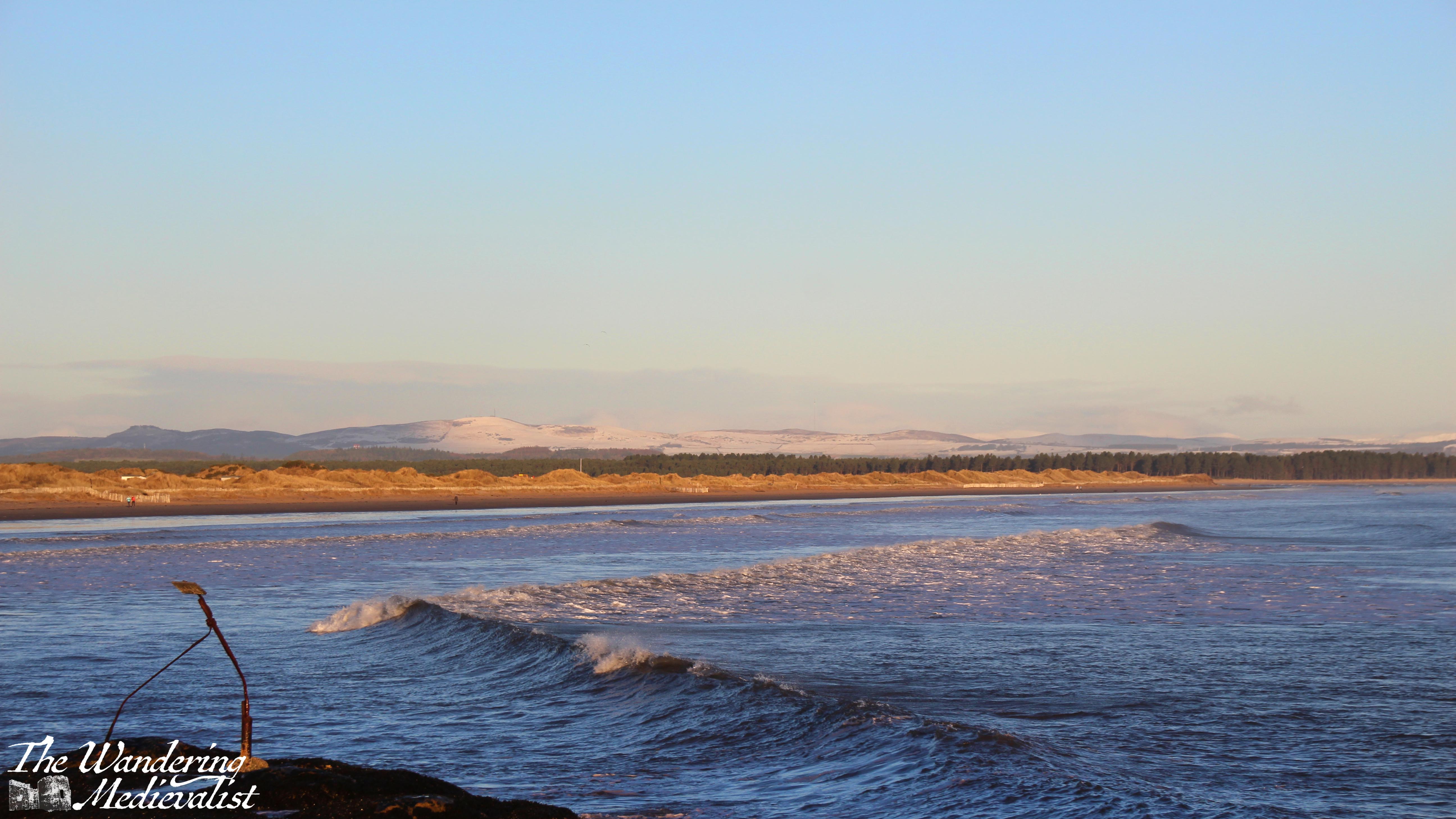
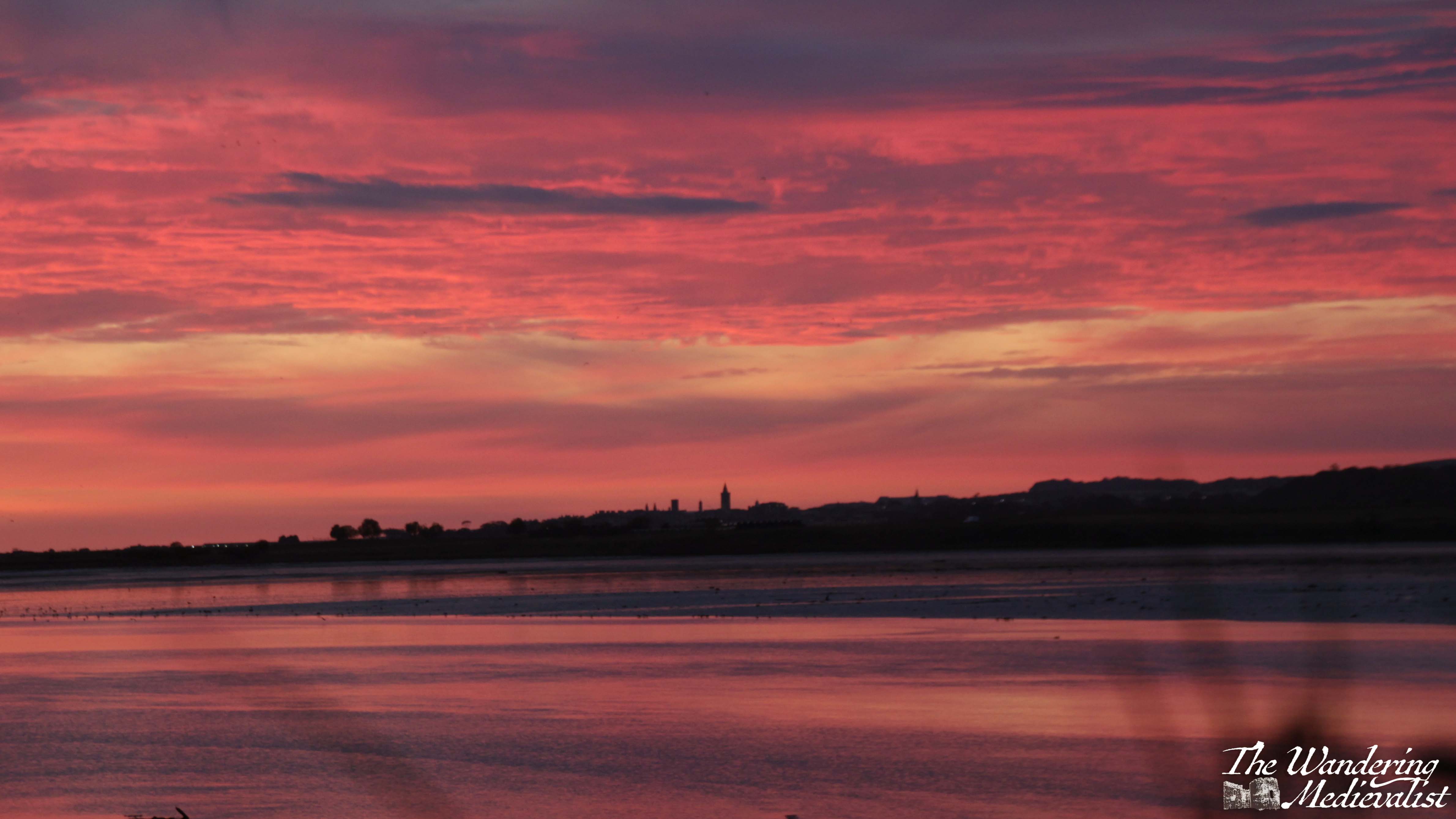
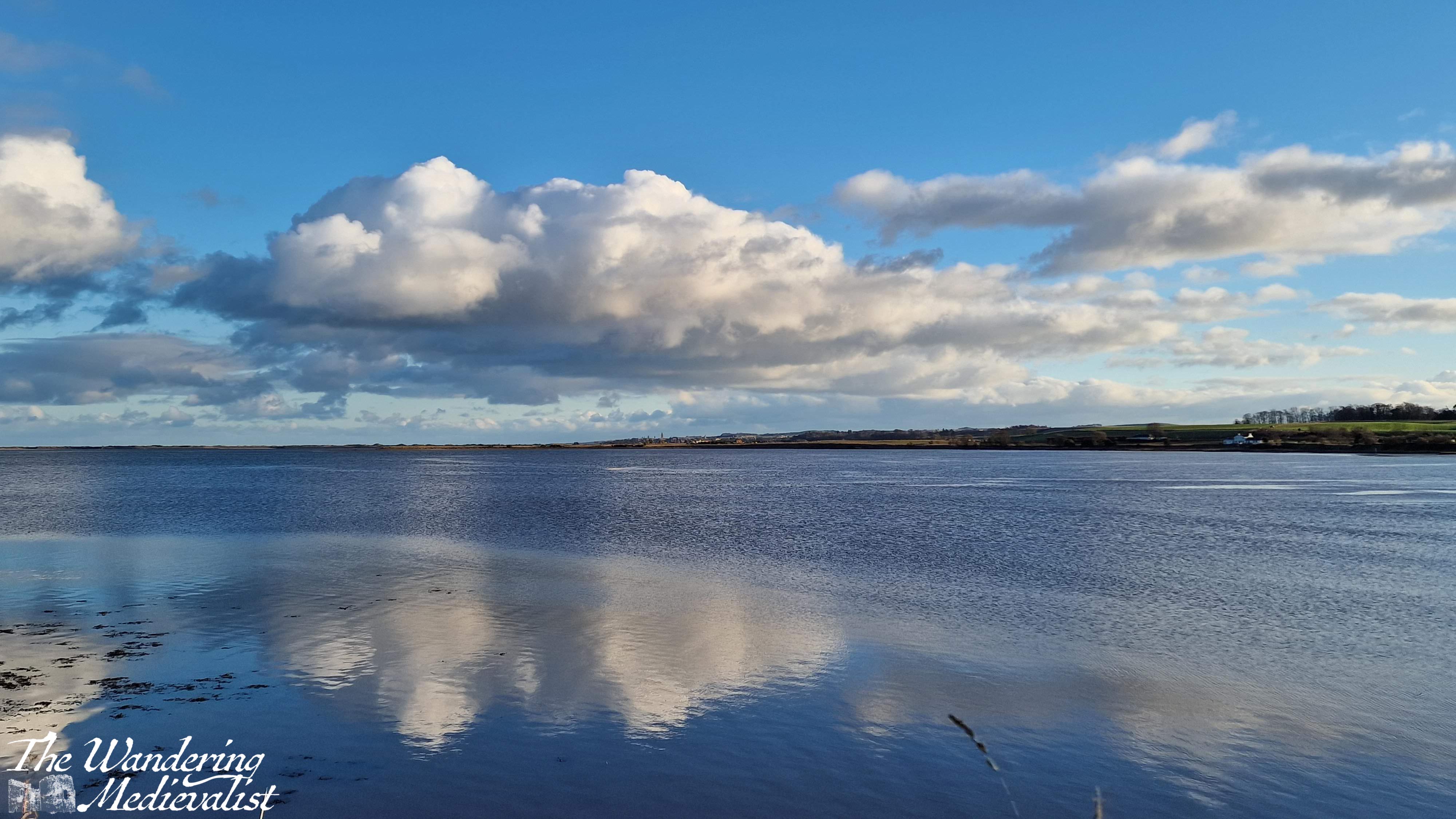
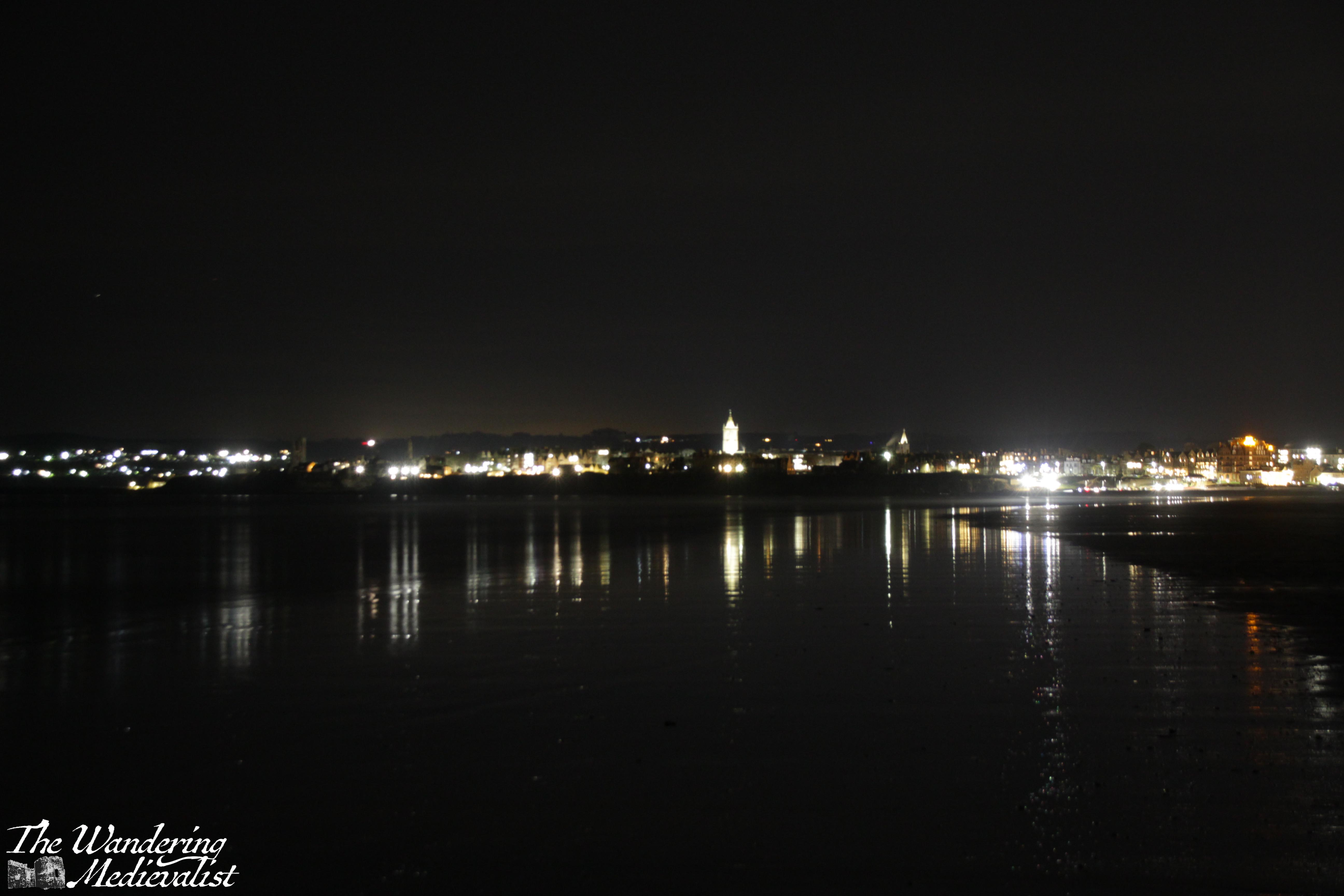
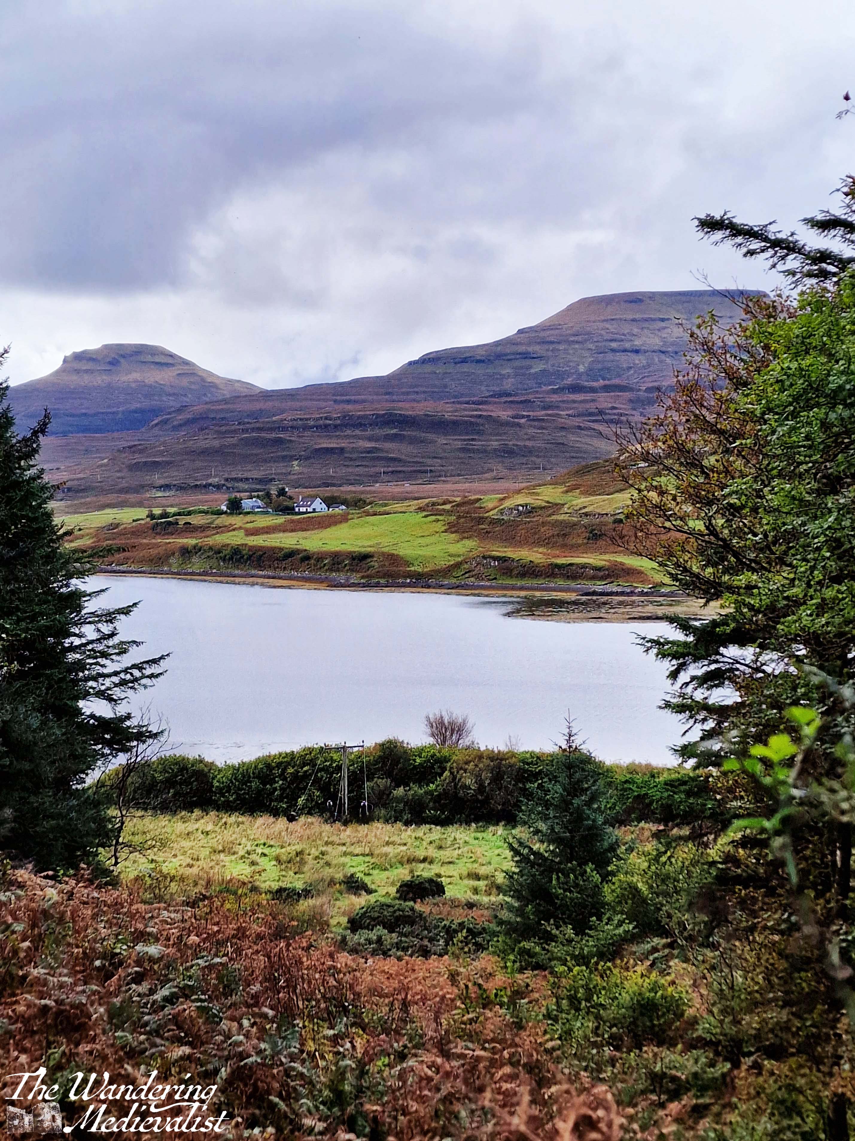
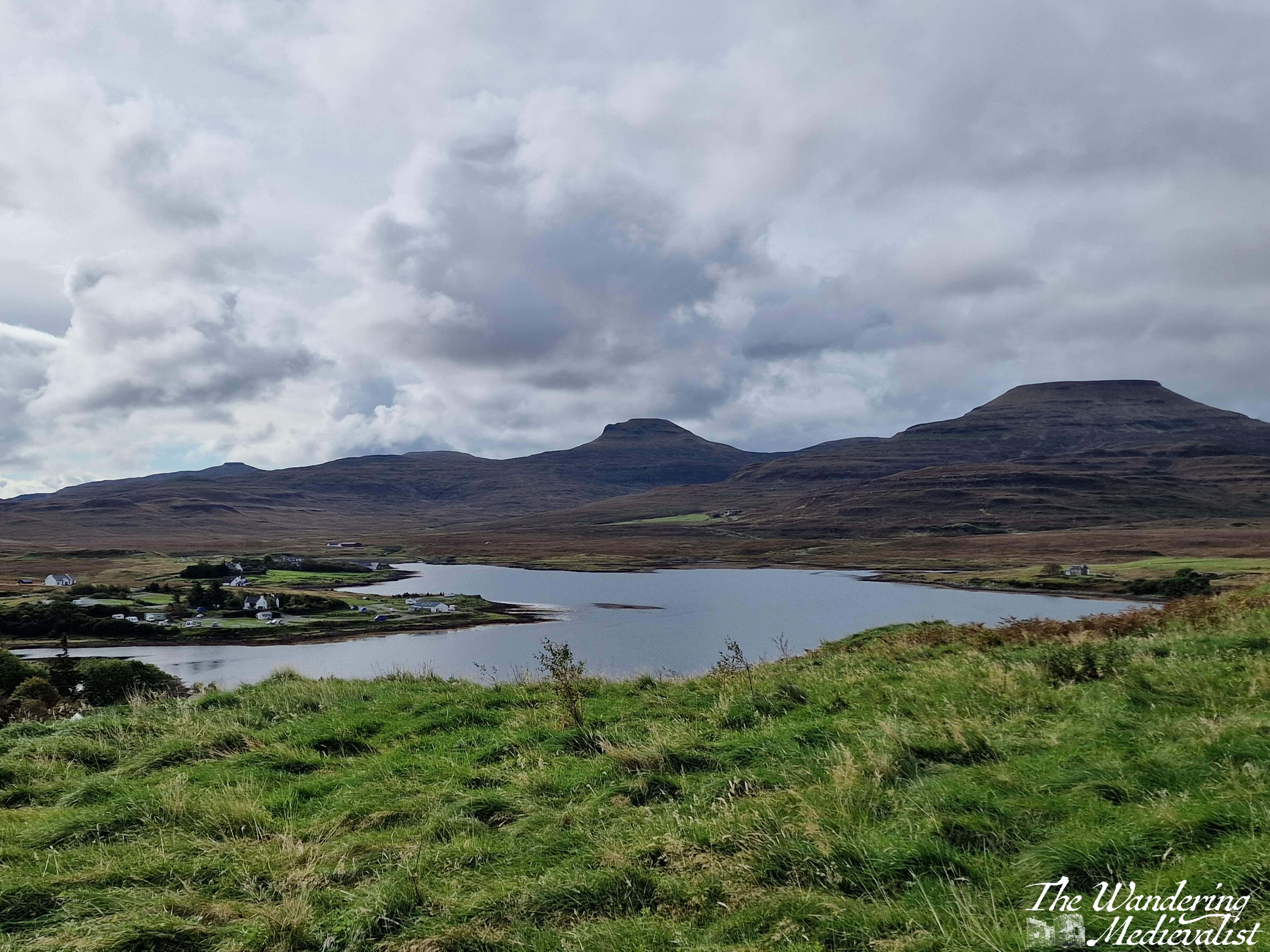
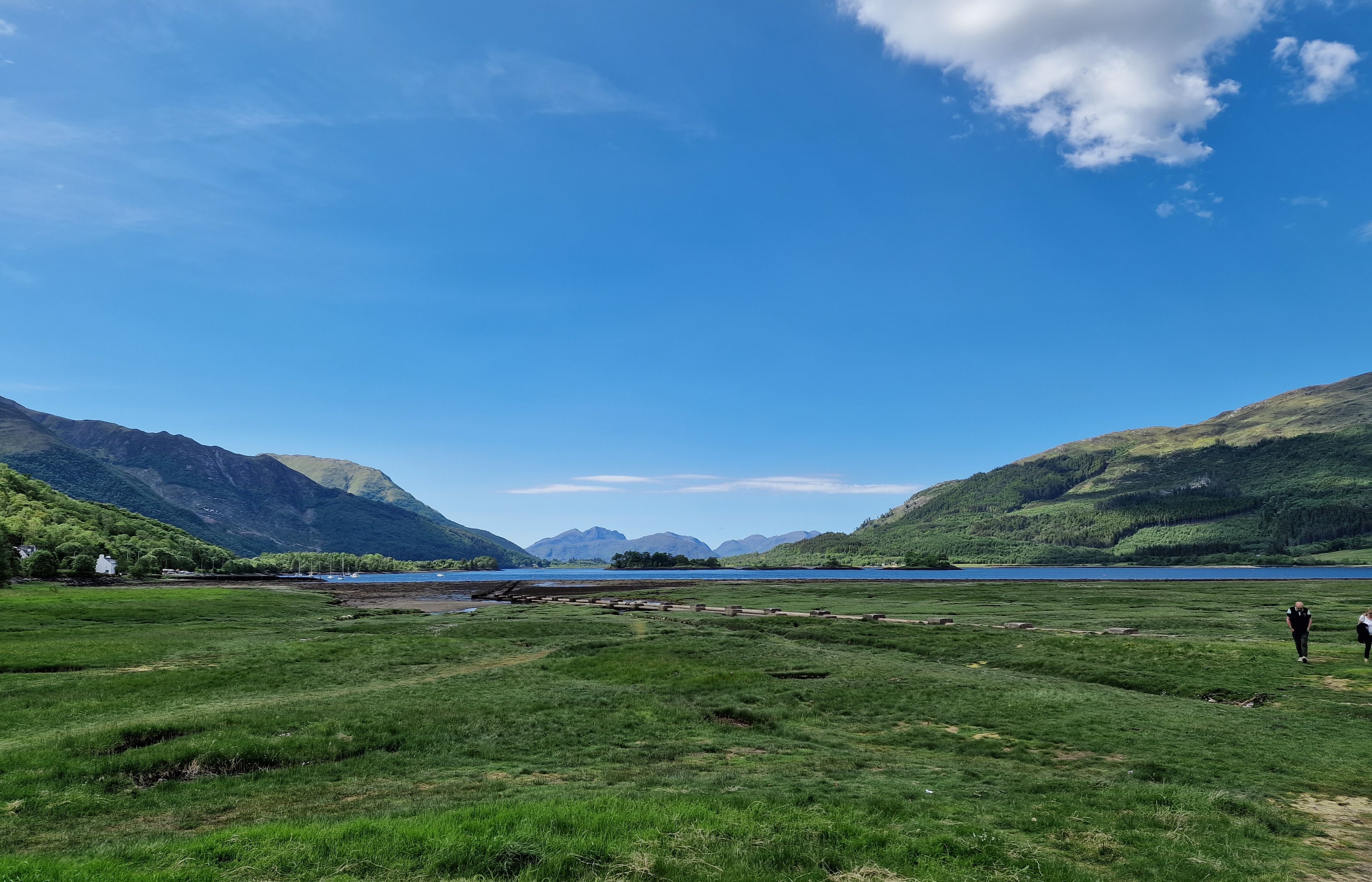
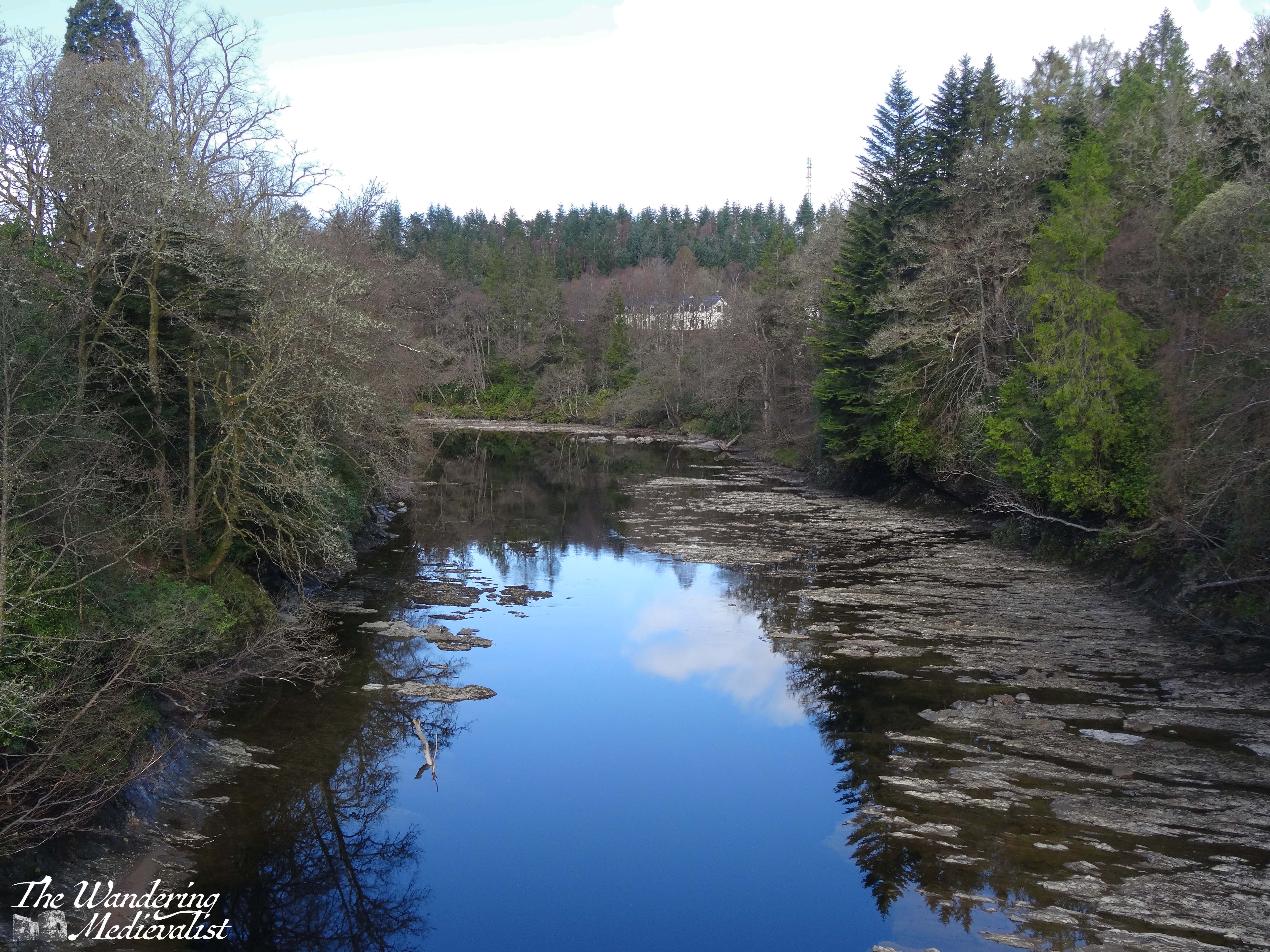
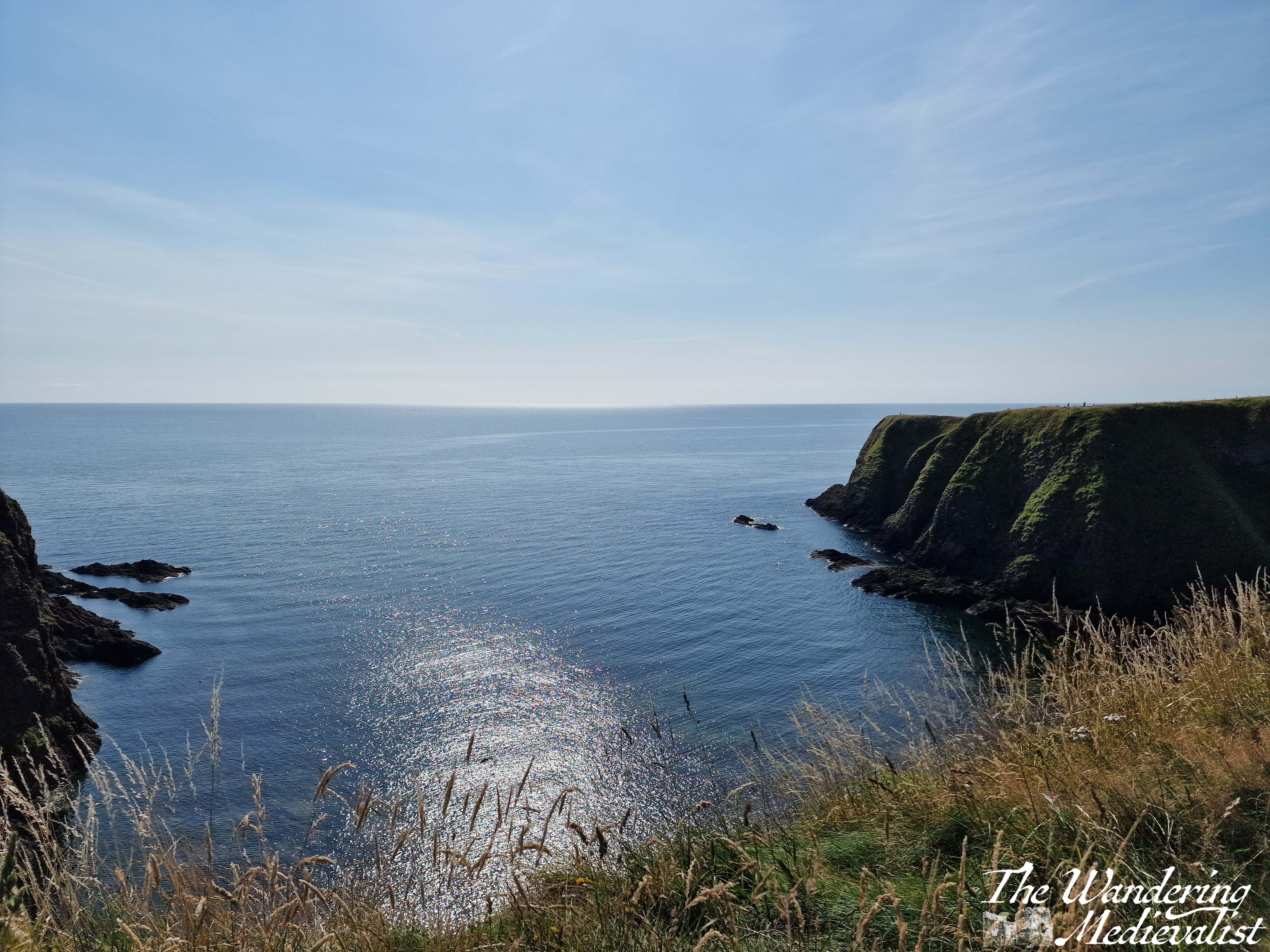
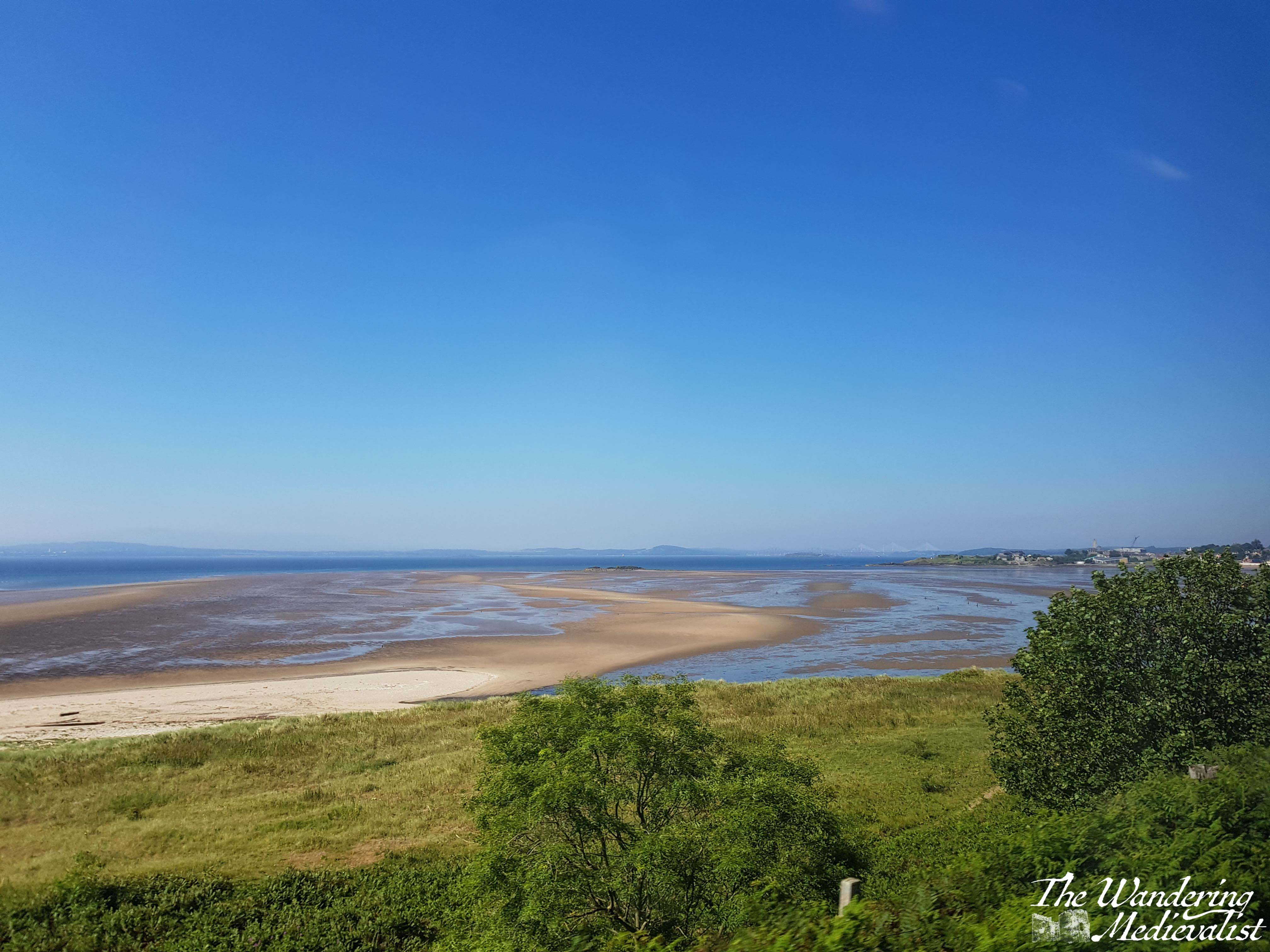
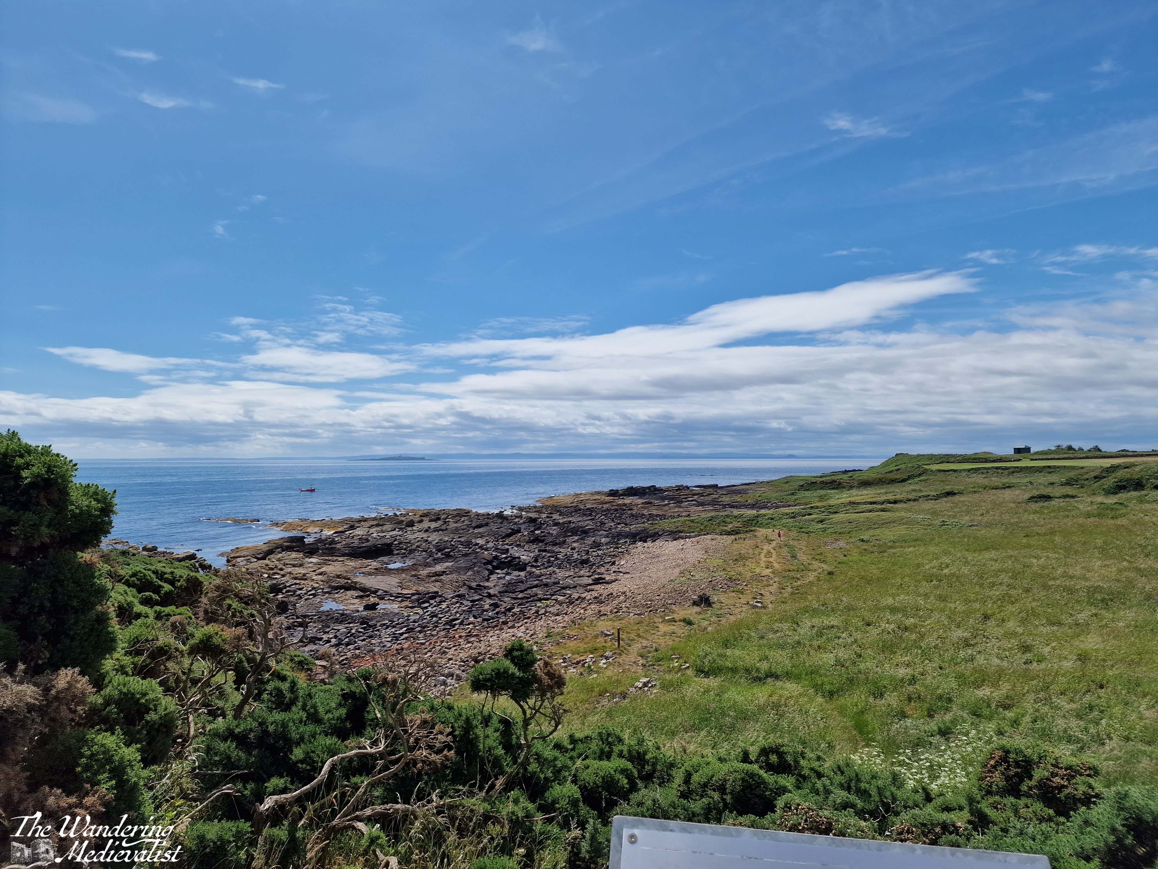
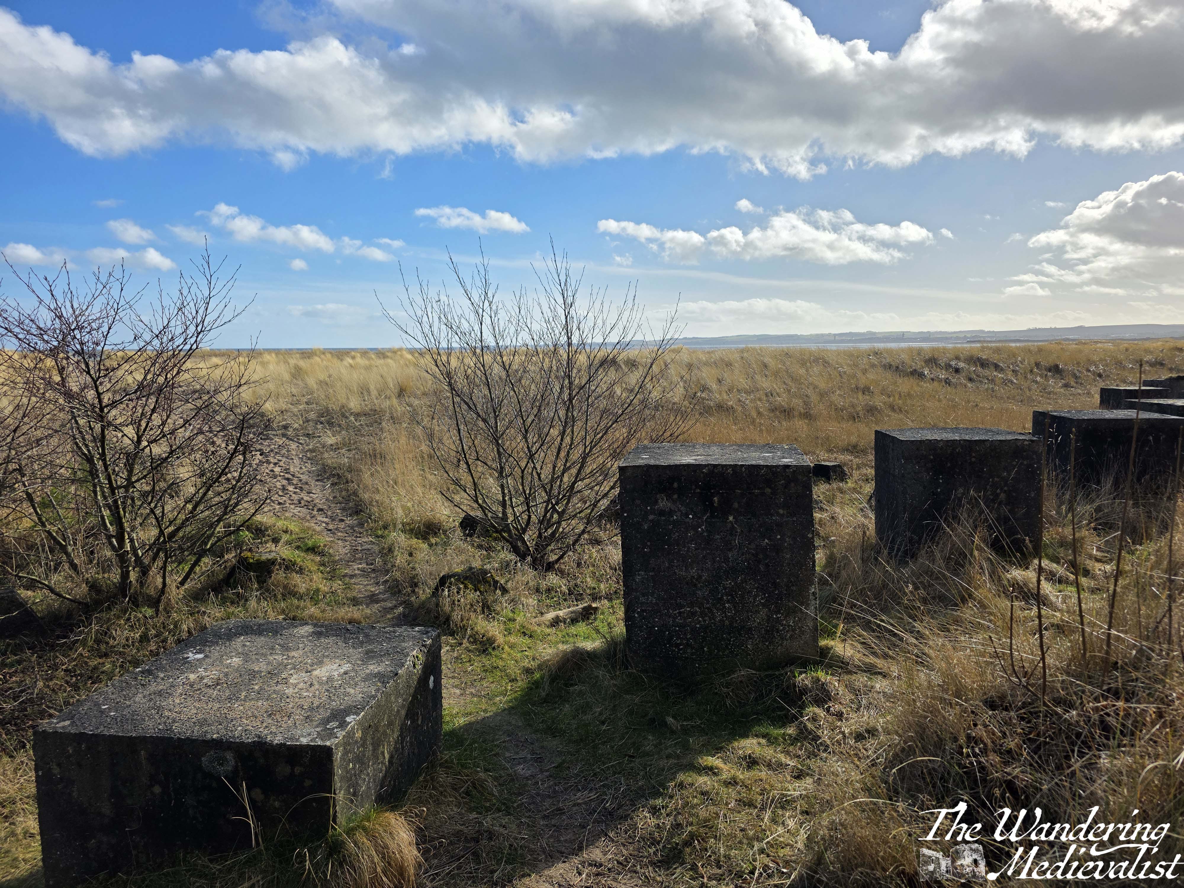
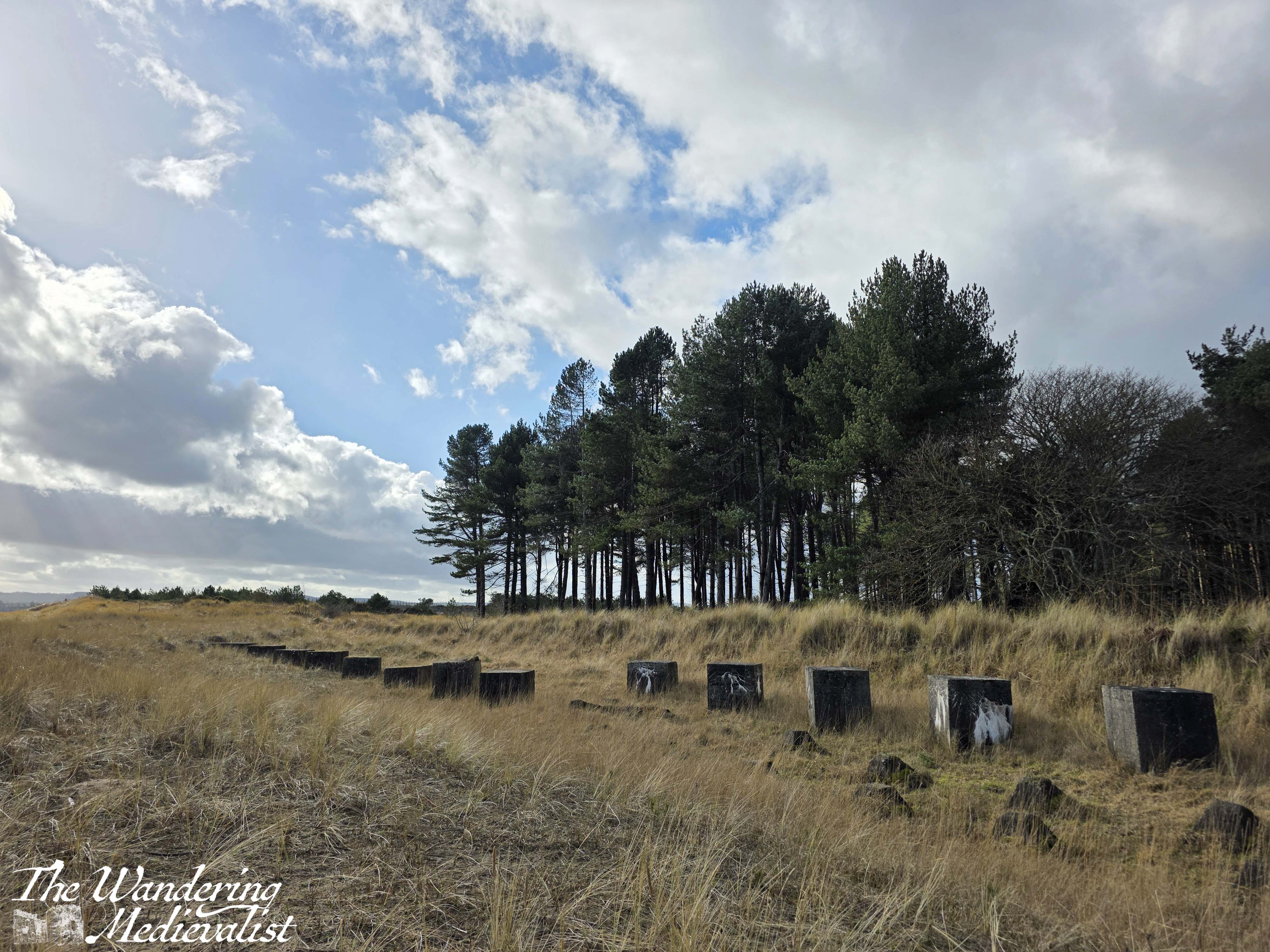
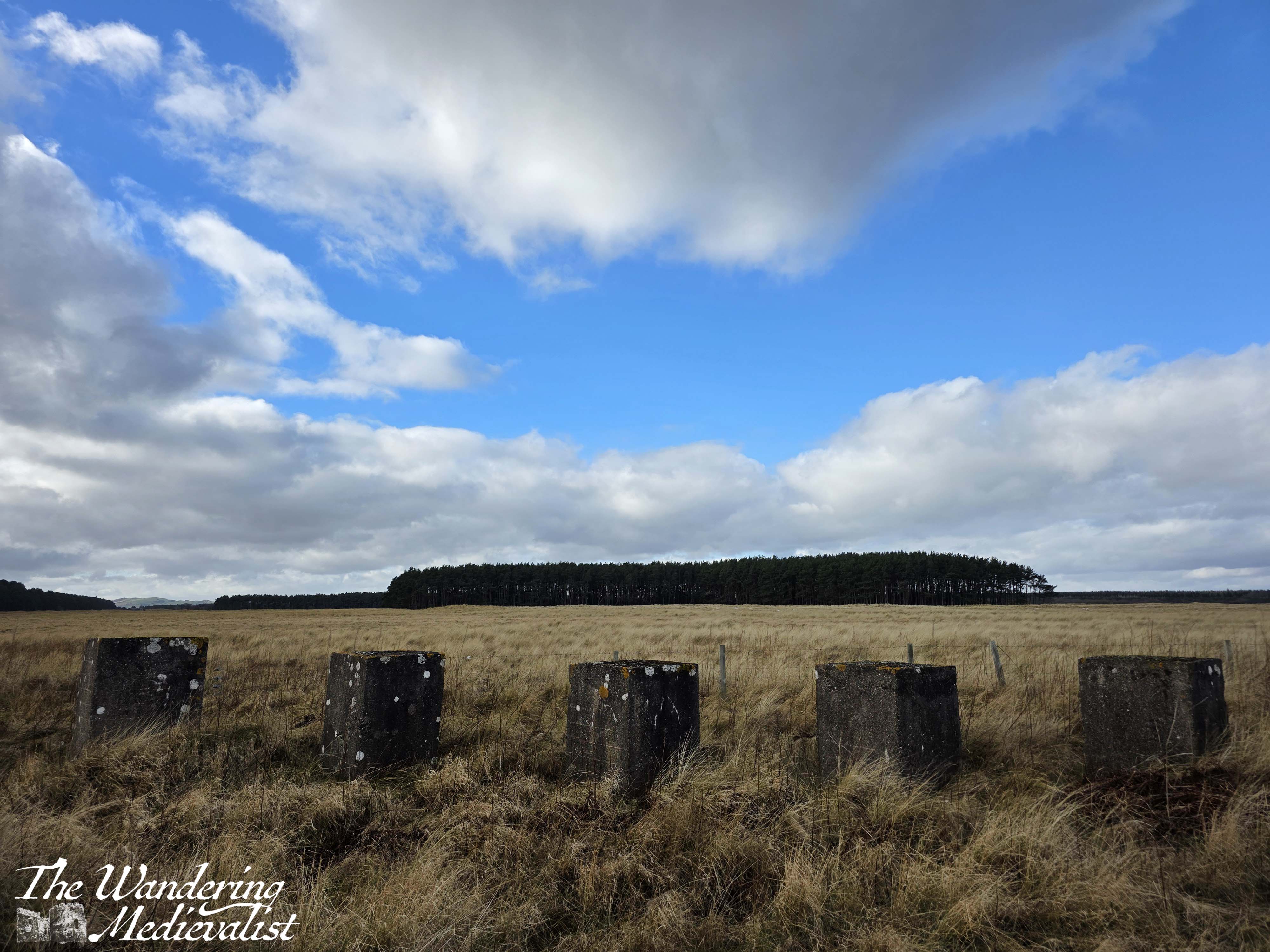
About 1.5 miles from where the path should have branched off, I finally reached the beach. The view across the Eden Estuary towards St Andrews was spectacular, the sun came out just at the right time, and even the giant blocks of concrete half buried in the sand were beautiful. These blocks can be found all along this stretch of beach, constructed during World War II in the hopes that they would prevent the Germans from landing on the wide sand and rolling tanks into the farmland.
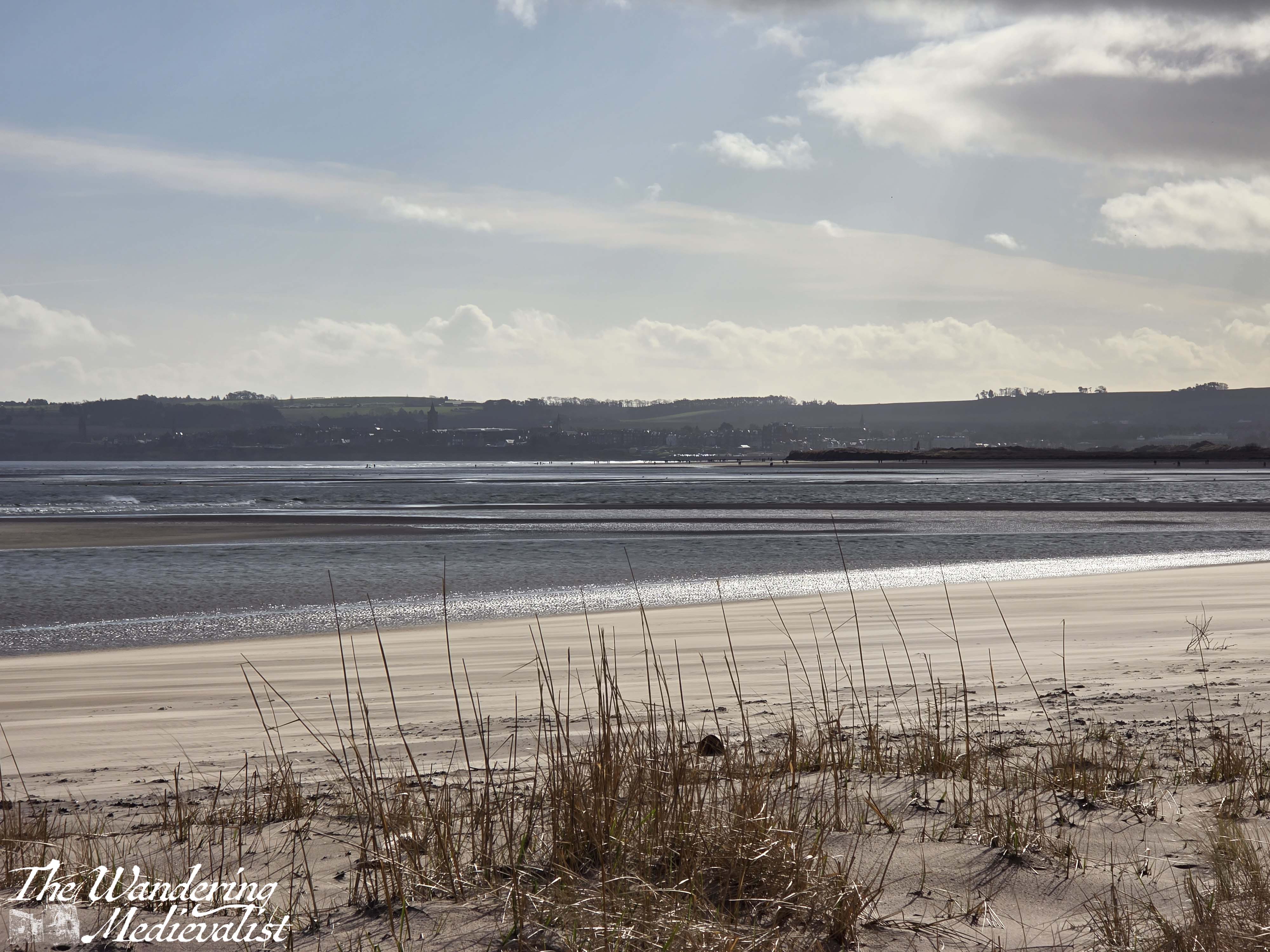
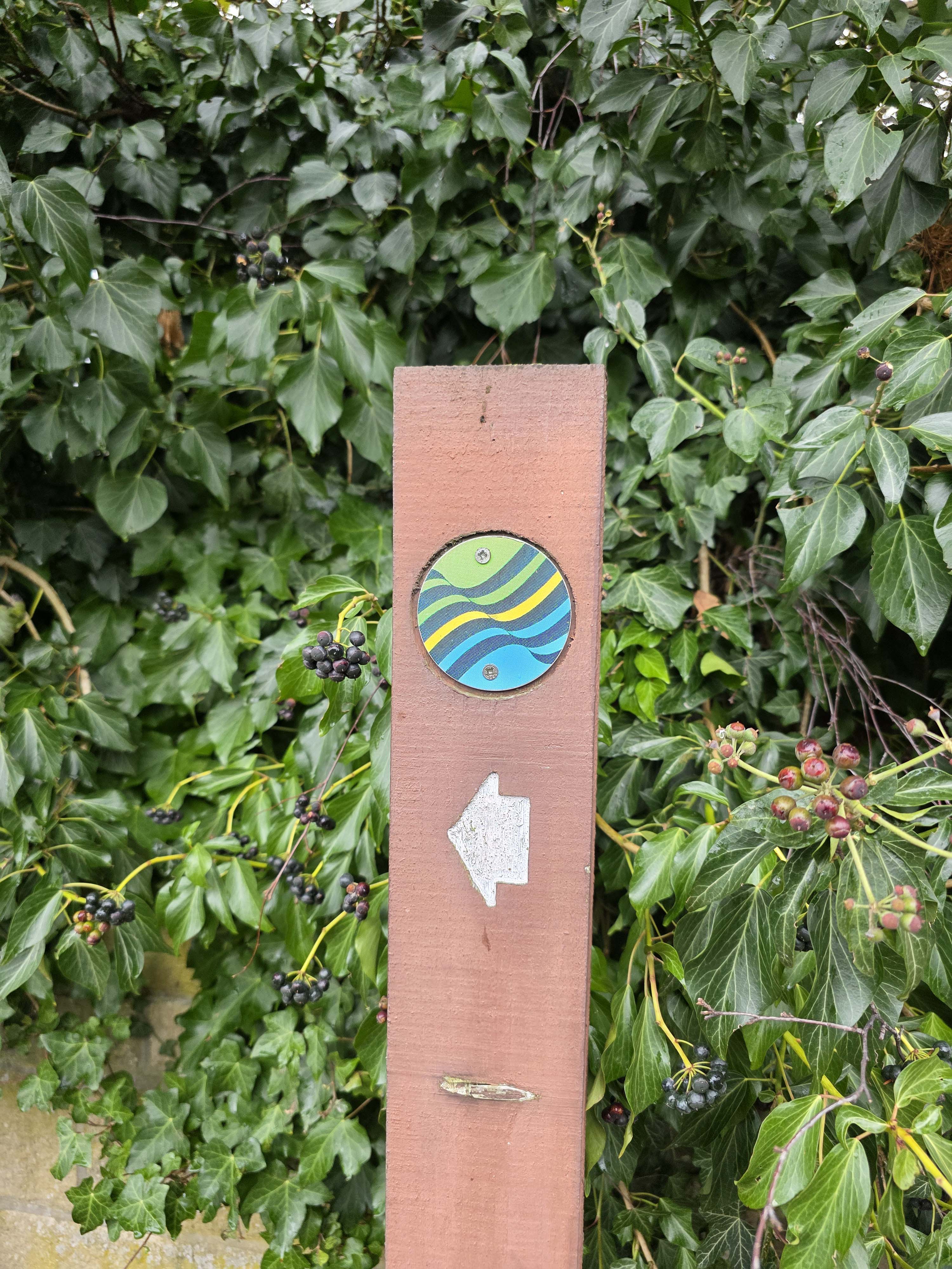
At the access point to the Estuary, there are signs informing you as to the wildlife living here, and reminding walkers to be considerate of what they find. There is also a detour sign, on this occasion, and I found myself stopping temporarily to work out how much longer I had to walk – I soon wished I had not bothered.
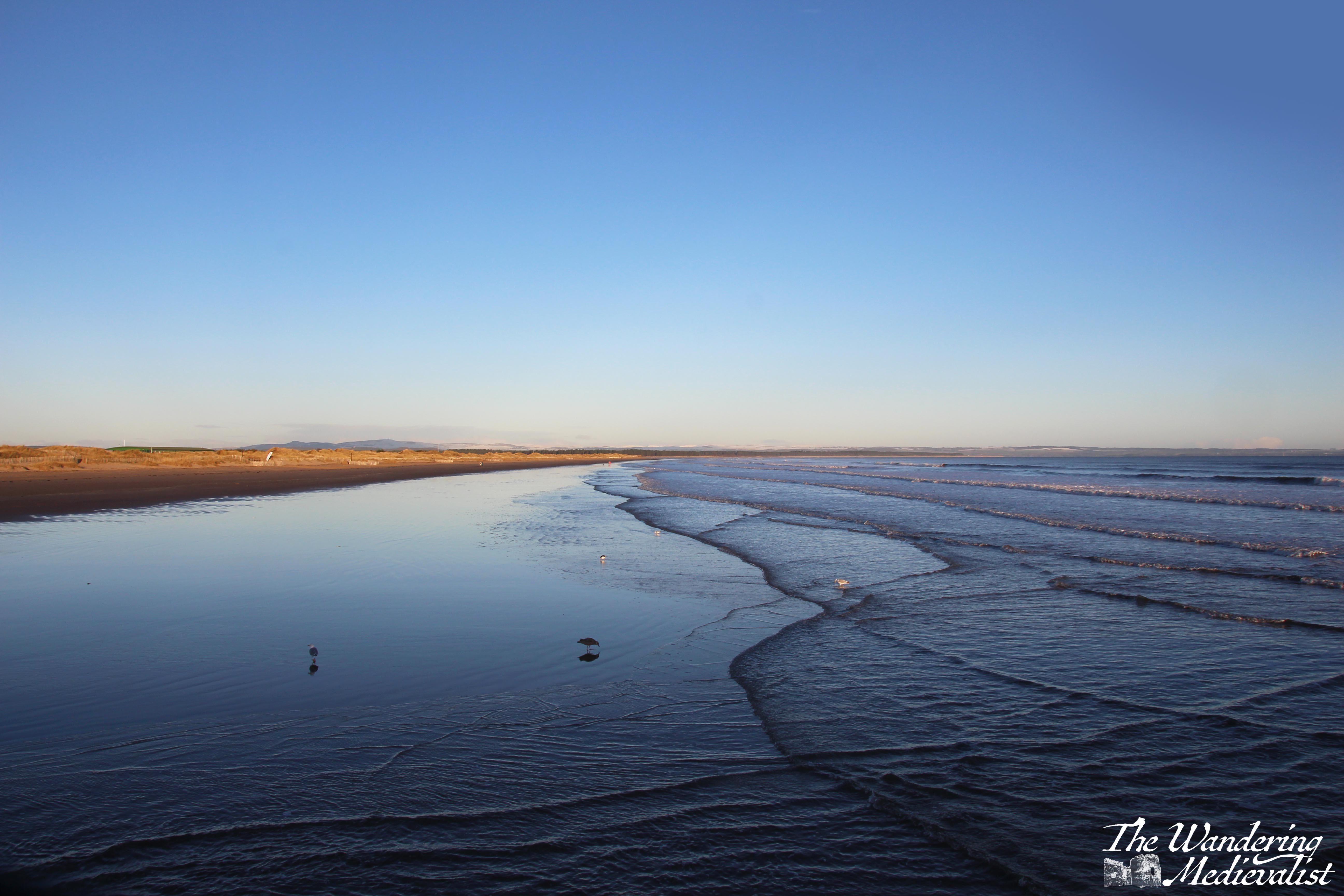
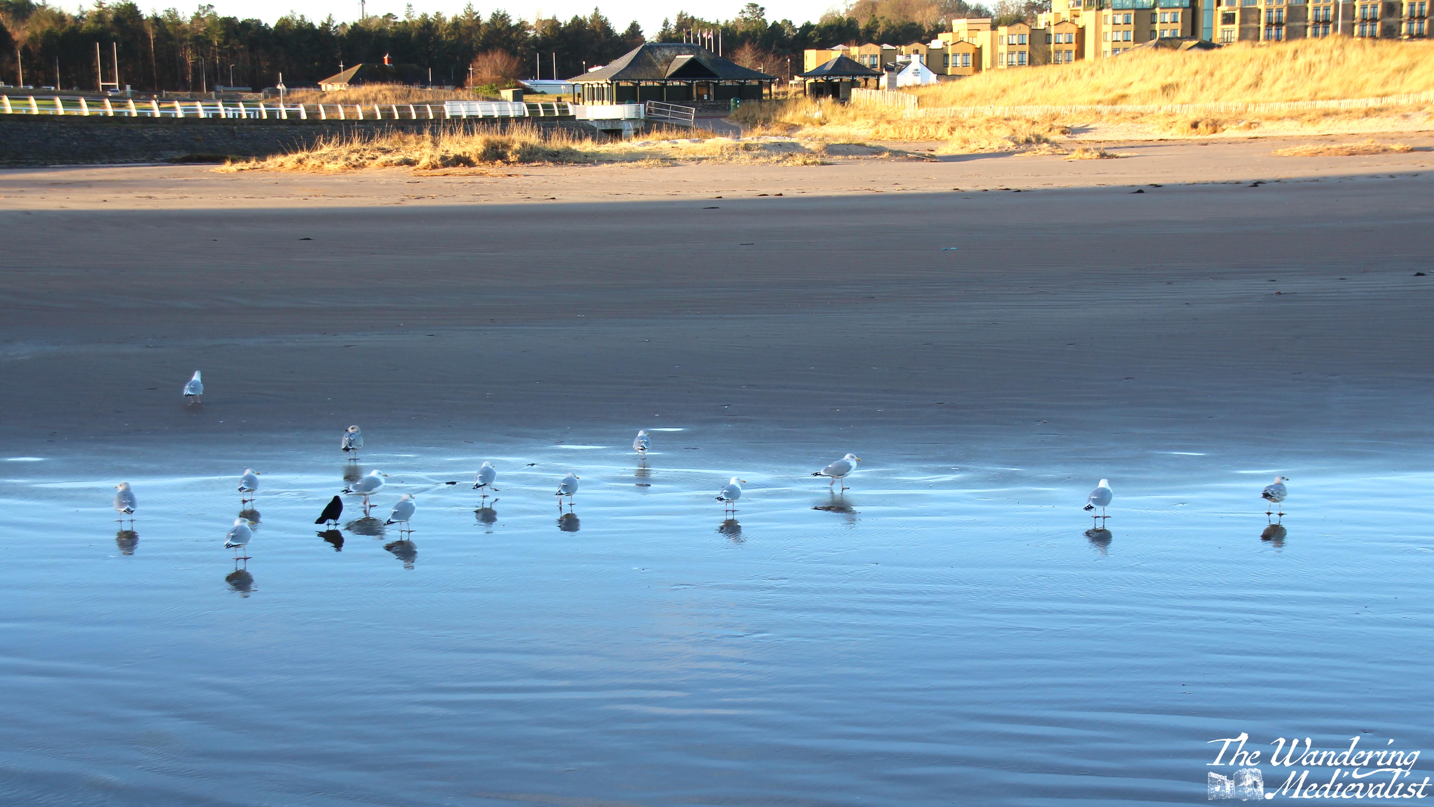
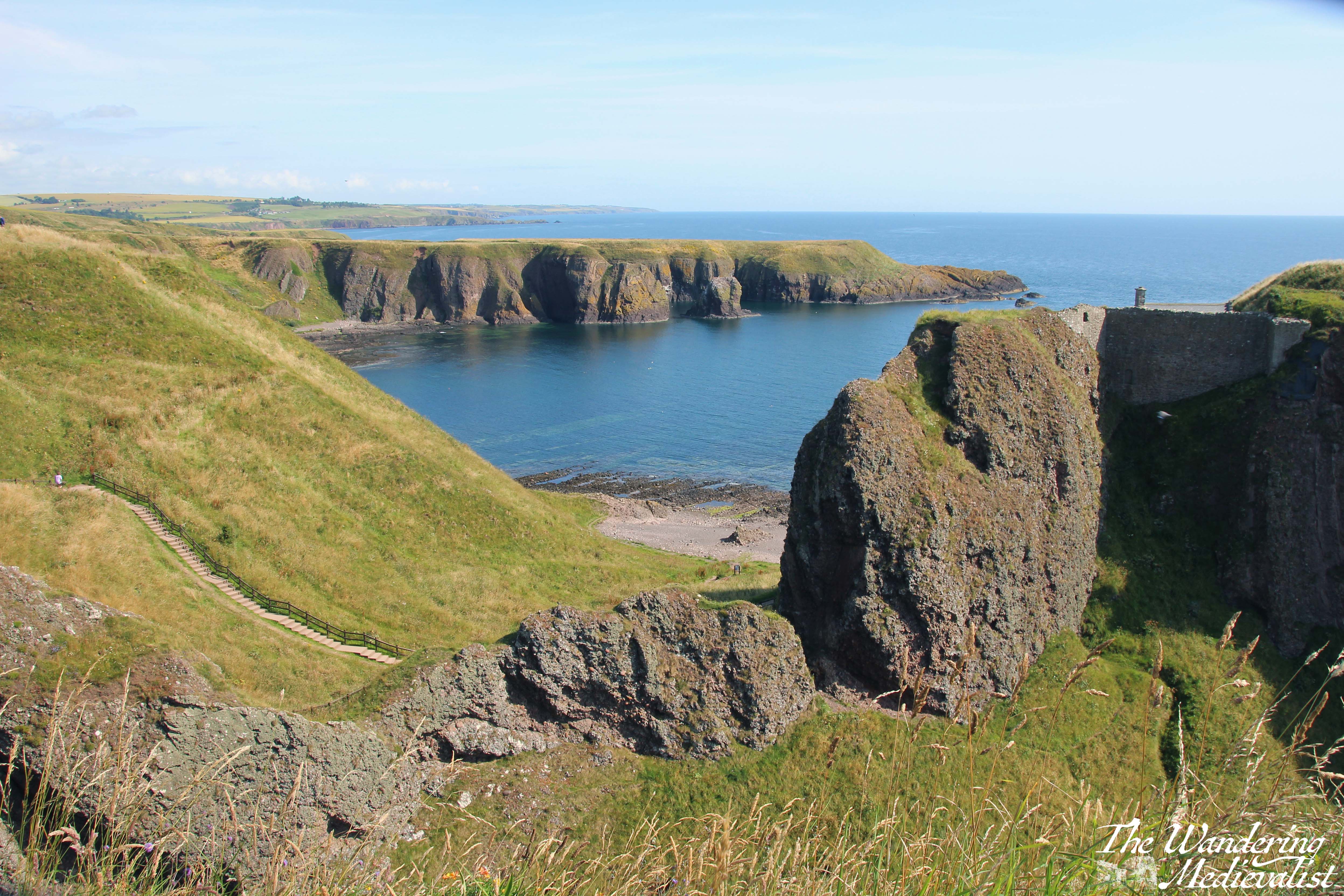
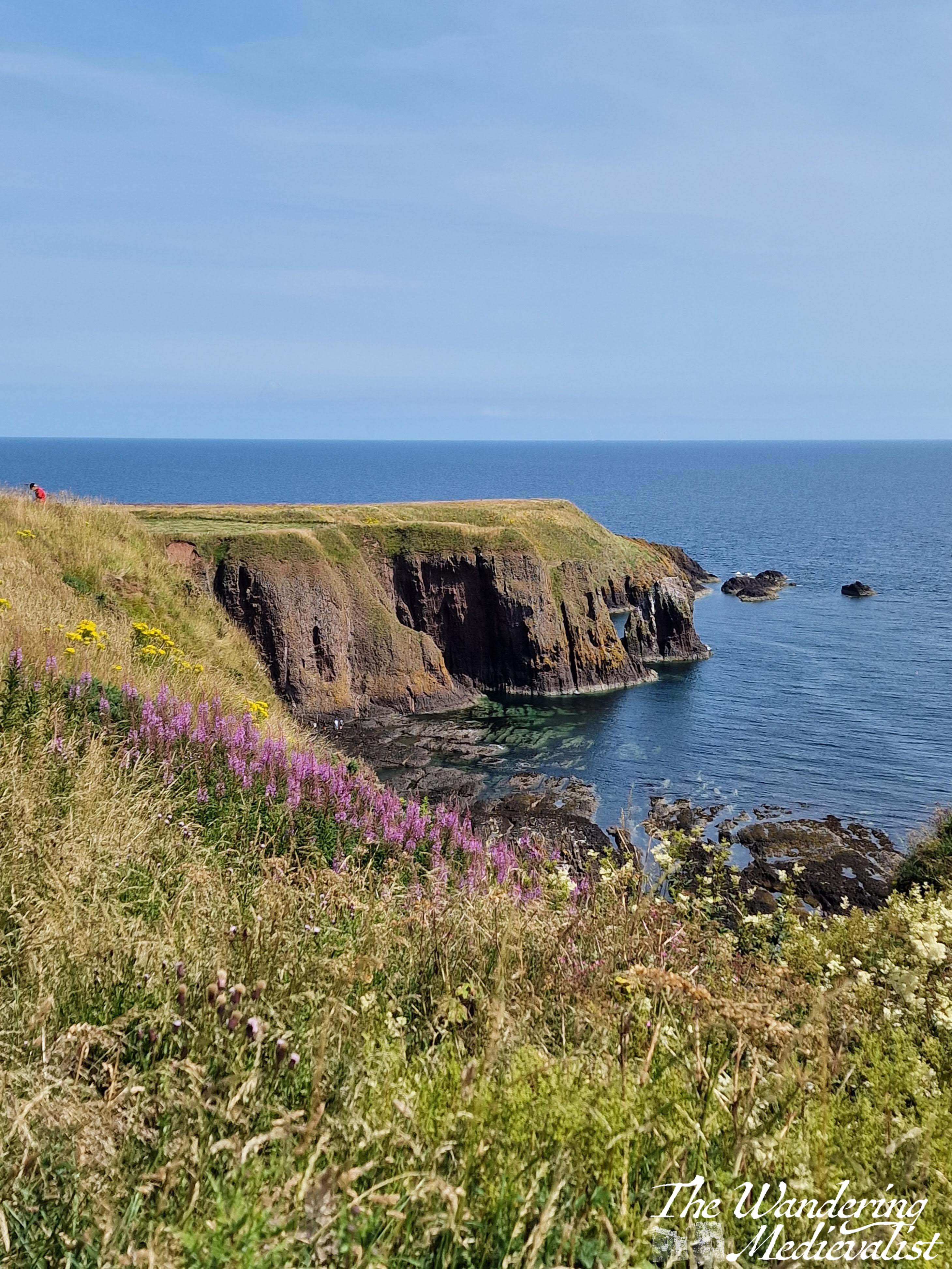
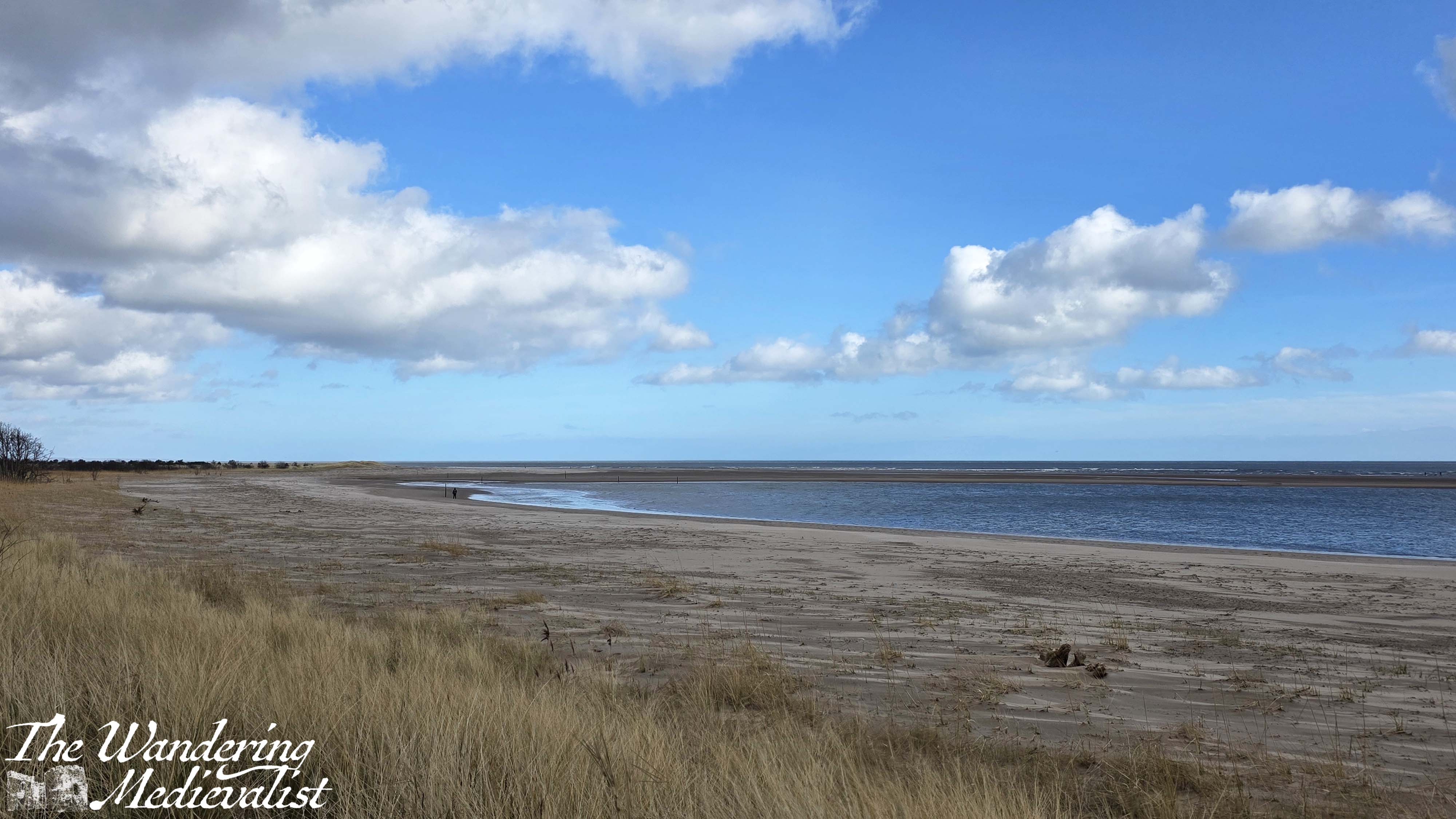
From this point, the path led along the edge of the trees, with dunes on the right – a pleasant view for sure.

In retrospect it may have been sensible to stop here and rest for a short while, or to stay on the beach, but I did neither of those things, instead heading onwards along the coast. It is a lovely path. The trees fall away after a while, and the path winds away from the beach into the fields; it was here I came across a small flock of sheep who were mostly unbothered and watched me as if to say, ‘what in the world are you doing here?’
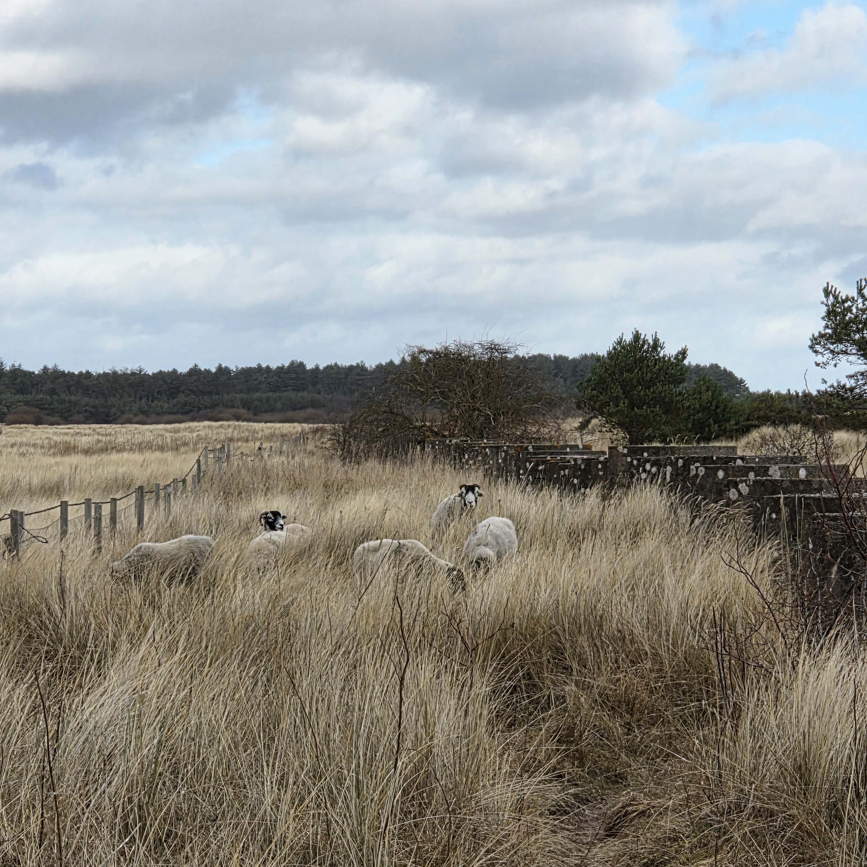
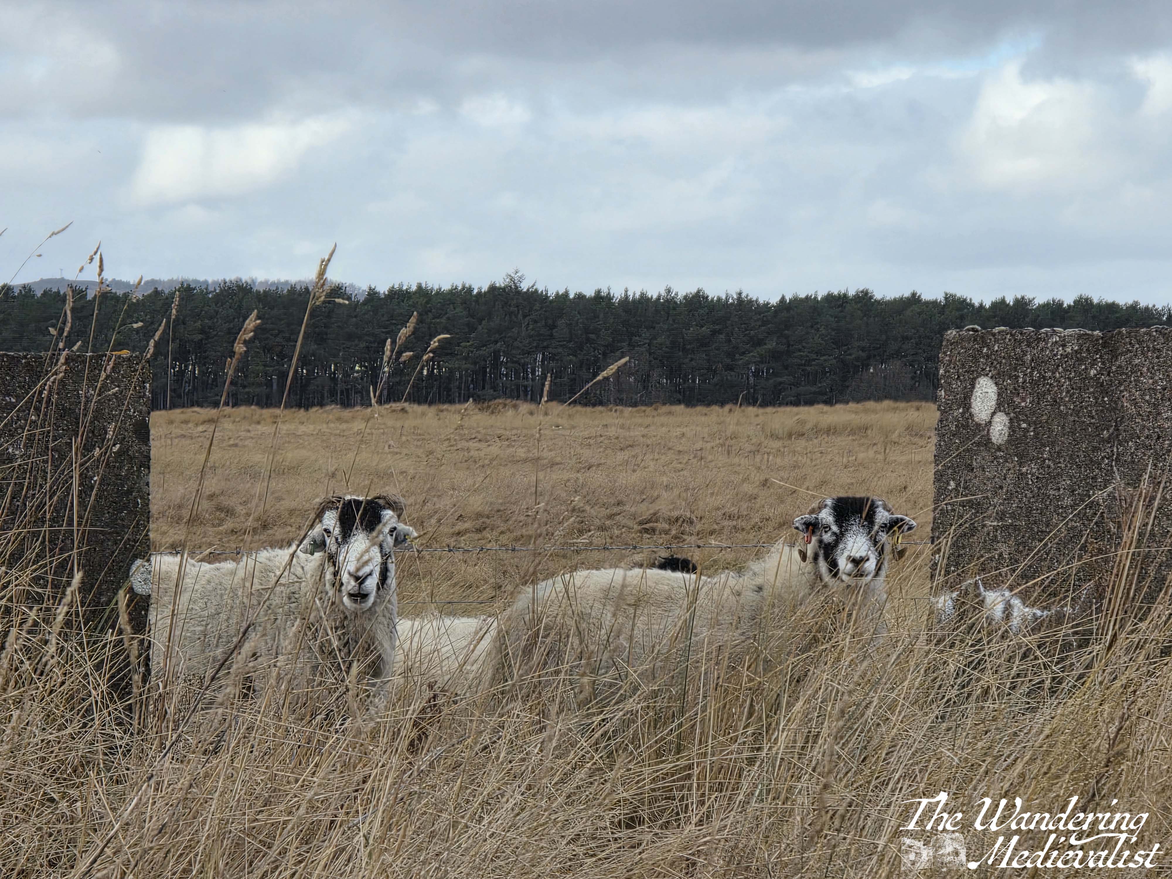
I did start to wonder that, myself.
Now, I am not a completely inexperienced hiker. I know perfectly well that I should have water and even snacks for a long hike, but that was not what I intended this to be. So I bought neither, figuring I had managed 3.5 miles last weekend, I could do 4 this weekend. I will never make that daft mistake again.
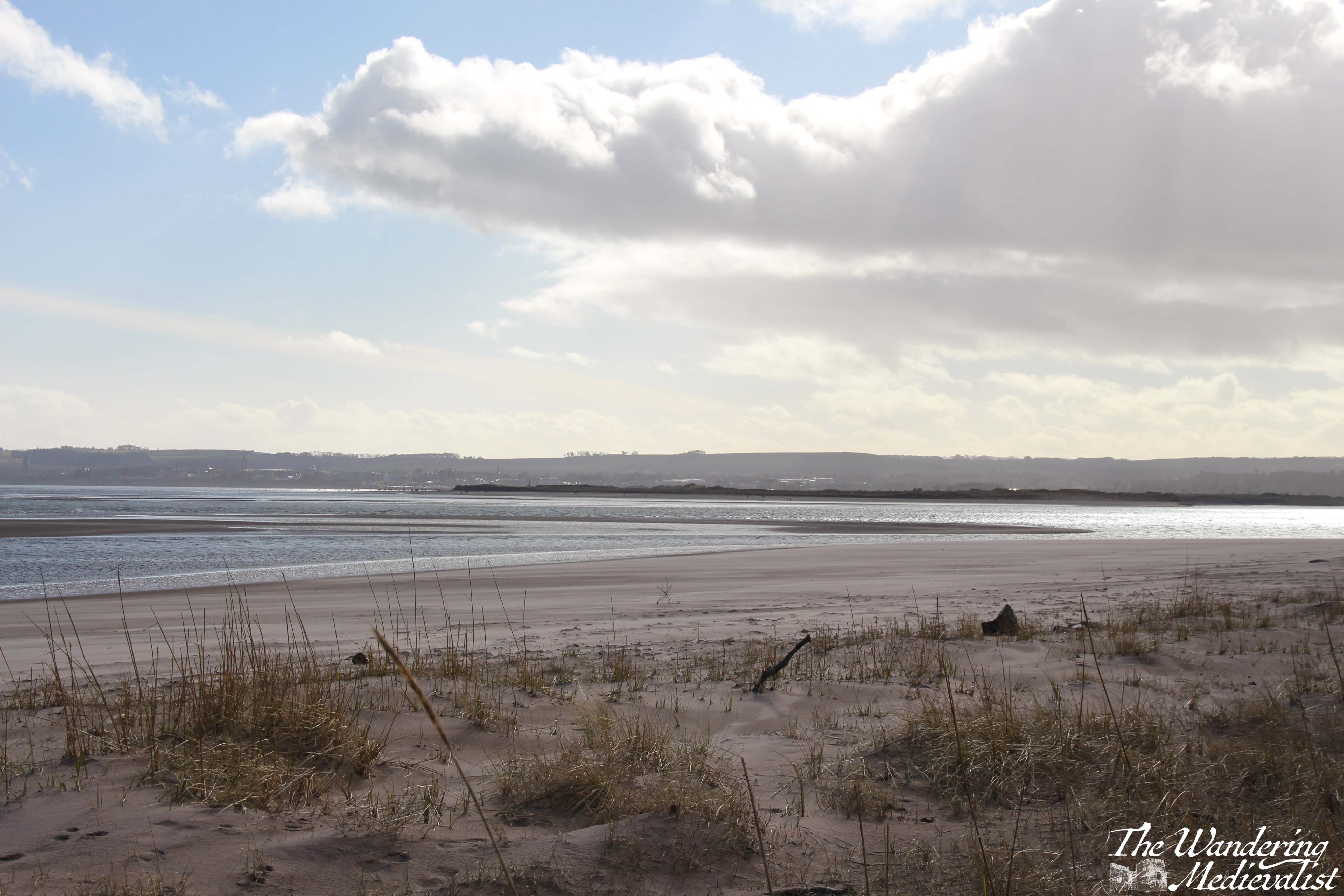
Away from the beach, the trail is considerably less even away from the beach, rising up and down over small dunes and hillocks of tall grass. To the left are fields stretching to distant trees, and to the right more grass, small trees and a patch of marshland separating the trail from the beach.
Eventually the grass fades into stands of small trees, then gradually larger ones, and I was relieved to once again joined the more familiar route with pines on the left and dunes and beach on the right. I hoped, and believed, that I was getting steadily closer to the car park where my other half had promised to meet me. I wished several times that I had brought headphones, as I felt like music might have kept me going a bit better, and my old hiking boots were feeling increasingly heavy and more of a drag on my energy than helpful.
Side note, these boots are almost 20 years old and have served me very well, but they are heavy and are probably more designed for climbing hills than walking. Certainly my sore hip flexors over the next few days were an indication that it was time to be rid of them. So, this was their last hike and I have since purchased some new walking boots from Mountain Warehouse – I will be sure to report upon their success.
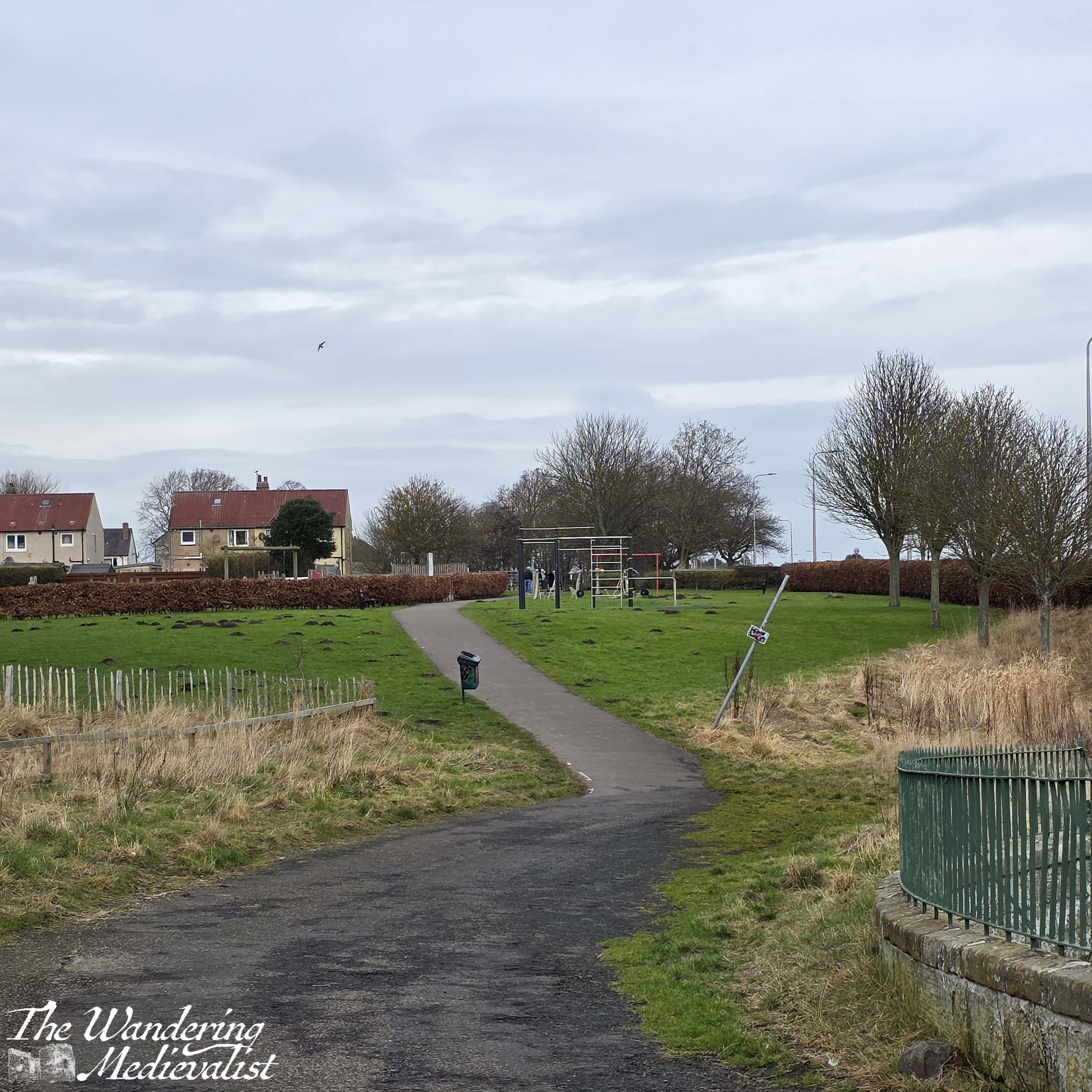
Back to the walk. Gradually, the number of people on the trail grew and I sensed I was getting close. Light reflecting off of unnatural surfaces glistened through the trees – cars!
I was there.
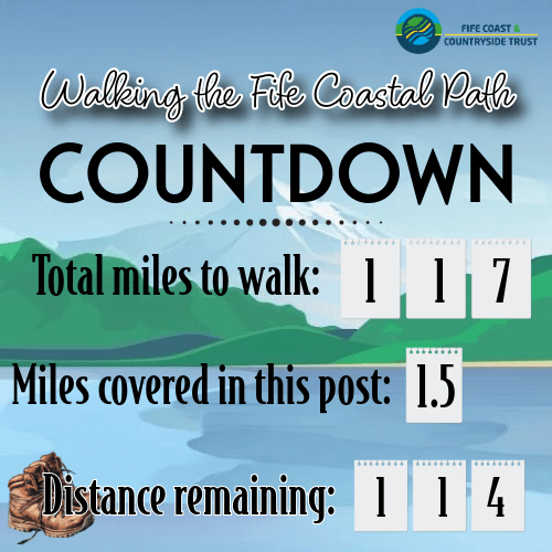
In all, I walked almost 5.5 miles, a bit longer than my intended 4. I made more than a few mistakes along the way, not the least of which was thinking I could push myself in a way I could in my 20s.

It was an enjoyable walk – until the last mile or so – and I look forward to trying it again in the summer when the boardwalk is open. It allowed me to push my limits and remember why I was doing this in the first place – to walk more, and to remind myself just how unprepared I am for a longer trek. But I’ll get there.
And I’ll bring snacks.
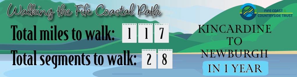
This weekend’s walk total (considering that only a portion of this walk was actually on the official Coastal Path):

days
hours minutes seconds
until
I finish walking the Fife Coastal Path