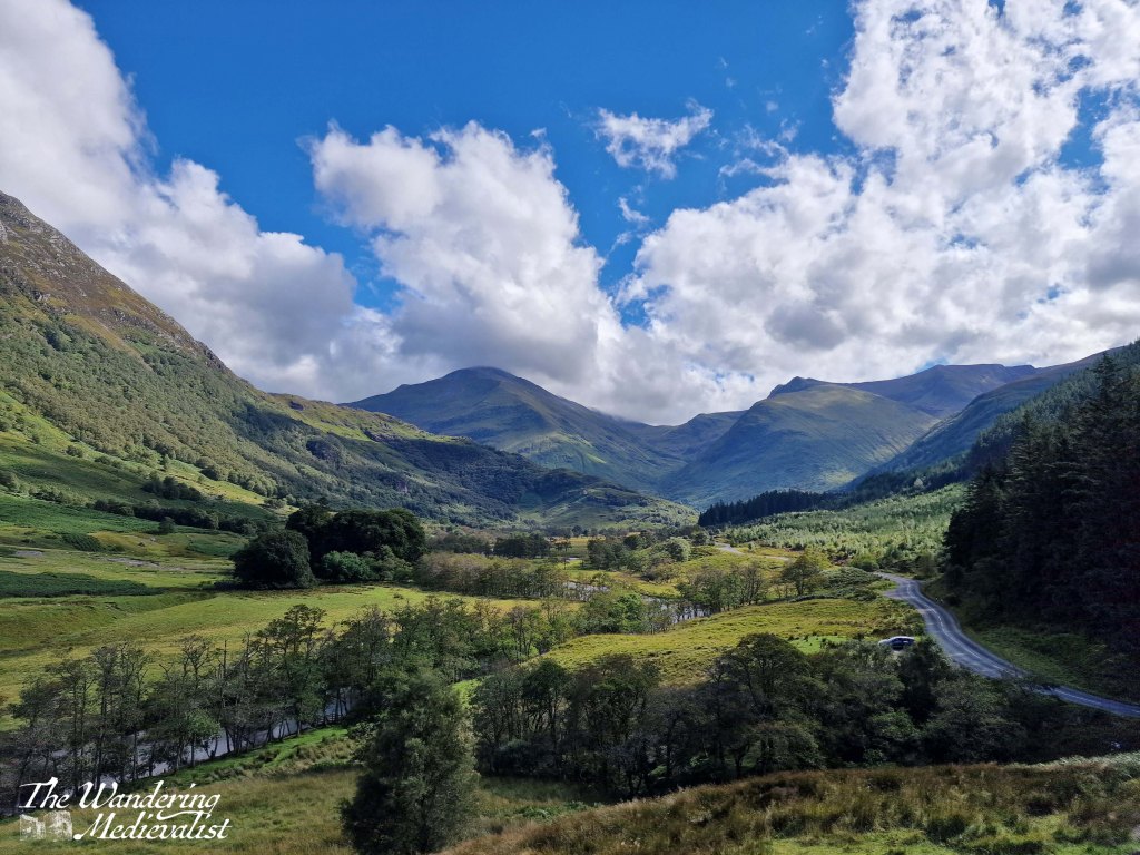
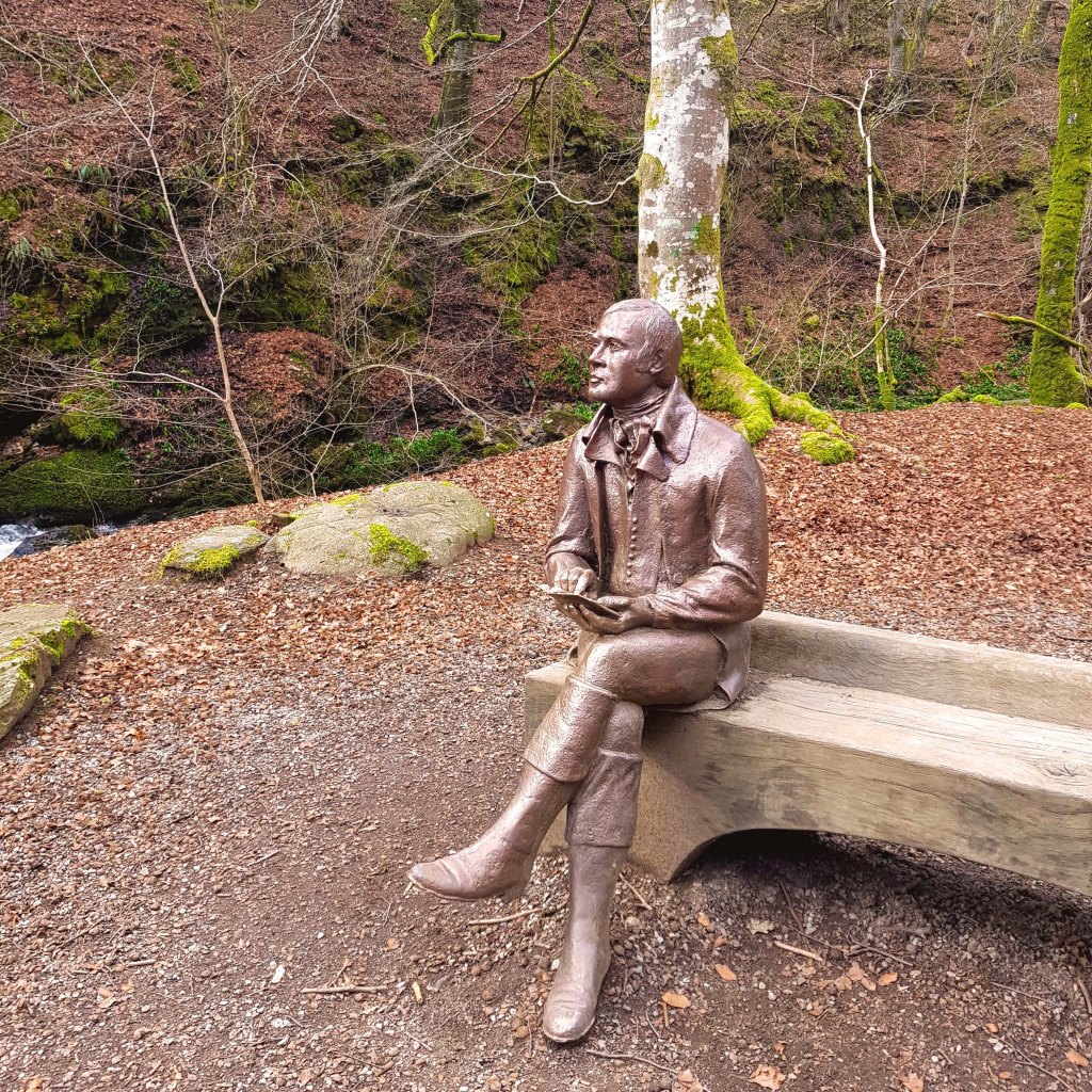
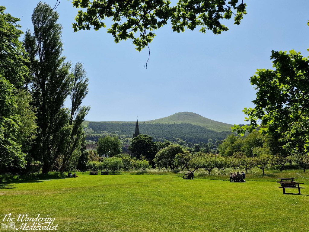
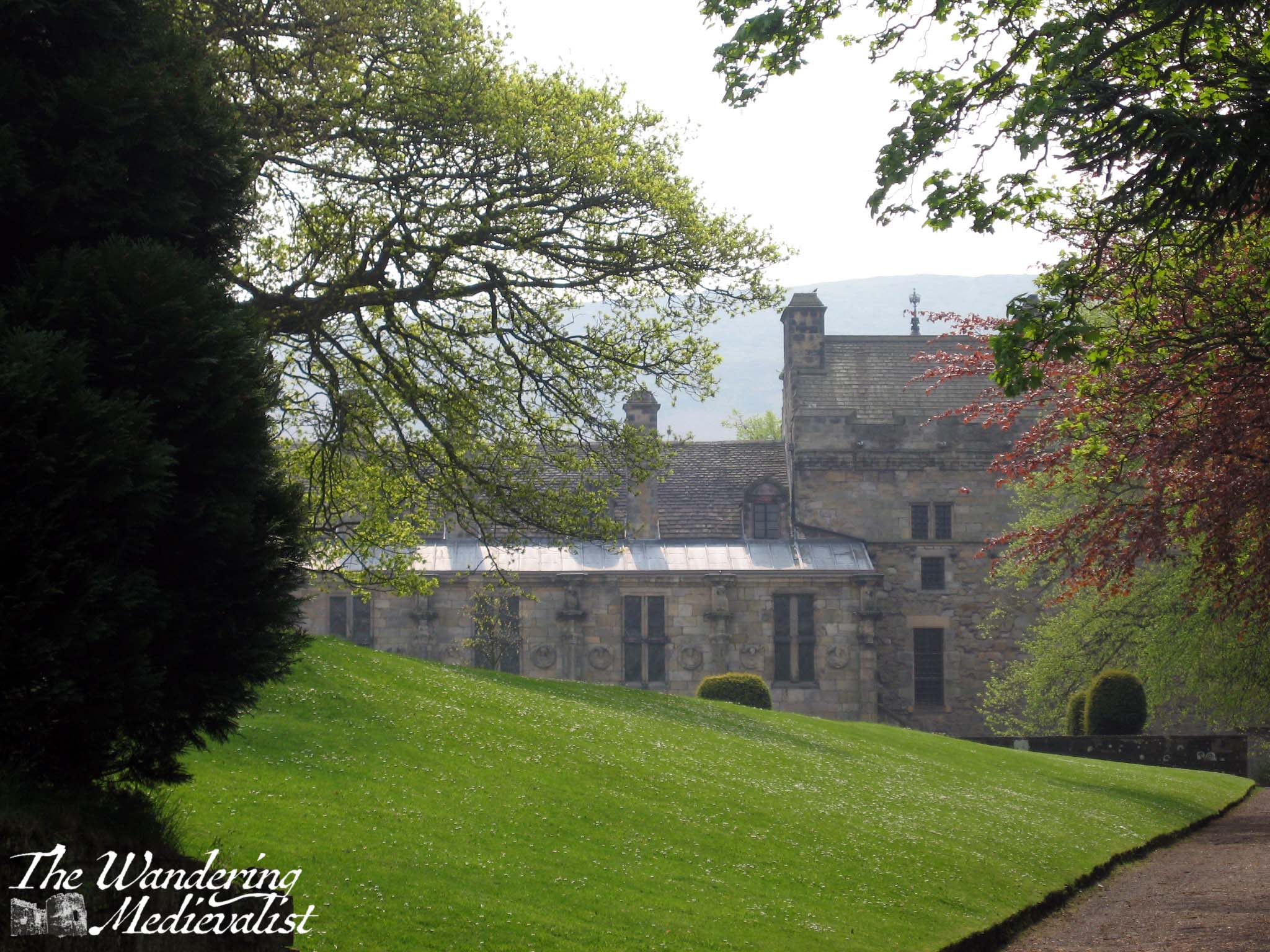
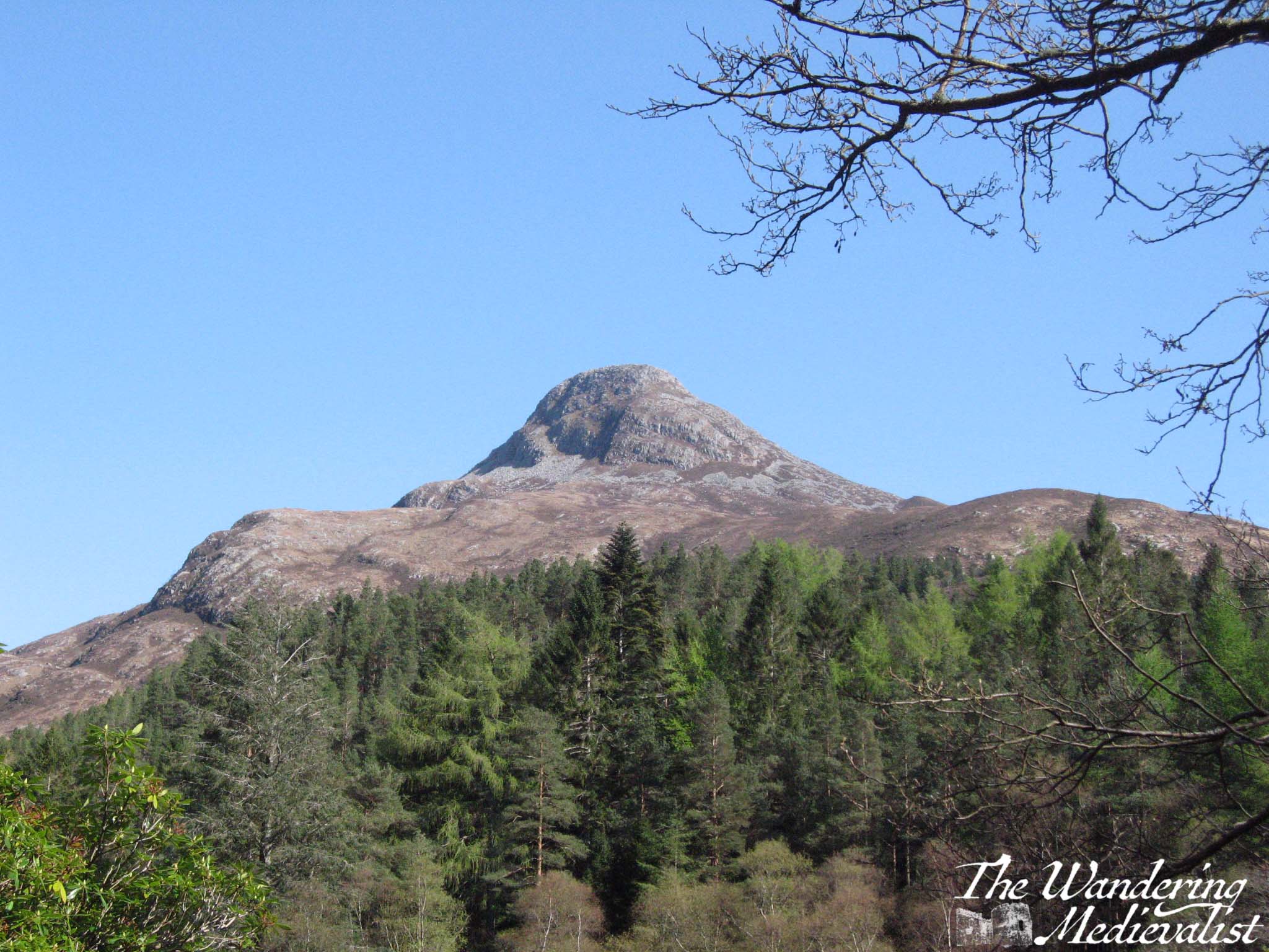
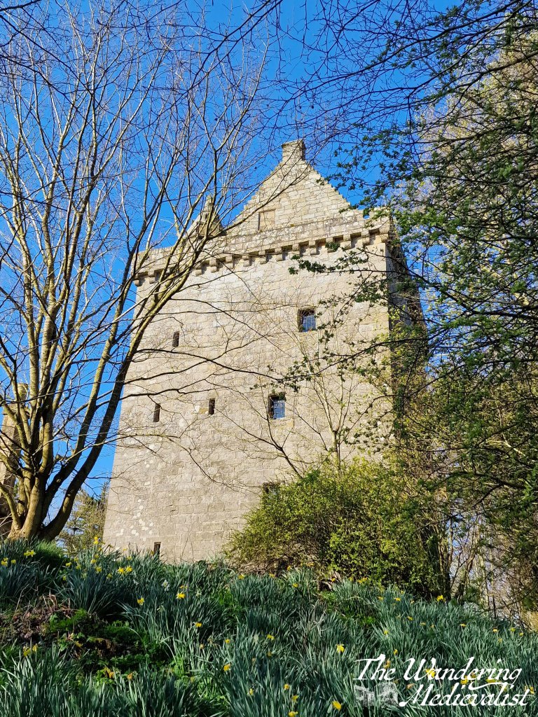
During our recent Sunday walk (definitely another post soon to come), we climbed a hill from which we could see the edge of the Highlands. As we caught our breath and tried to work out which jagged distant hill was which, I felt this visceral need to go there again, to see the mountains up close.
Ever since my first trip north of Perth, I have found the Highlands to be calming, comforting, peaceful – perhaps because they remind me of the White Mountains, or perhaps just because they do have a power over some people – me included. The Meall Beag viewpoint is one of those places in the Highlands where I can find my equilibrium.
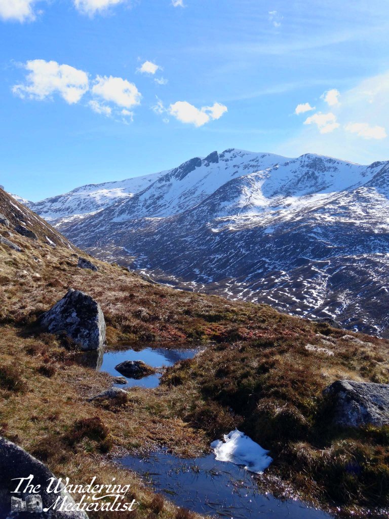
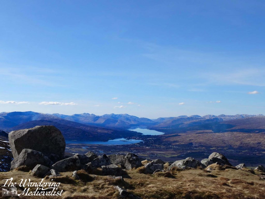
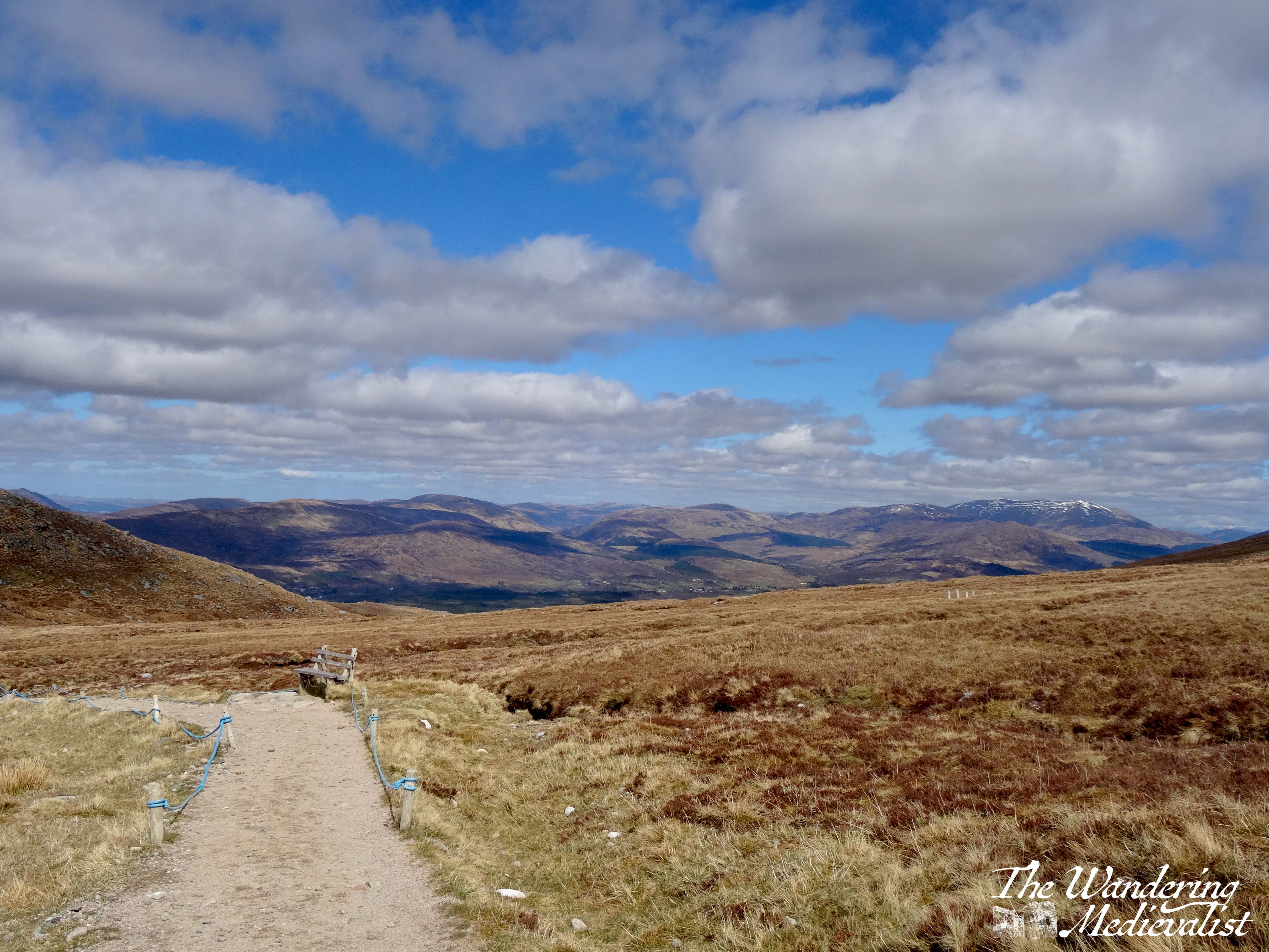
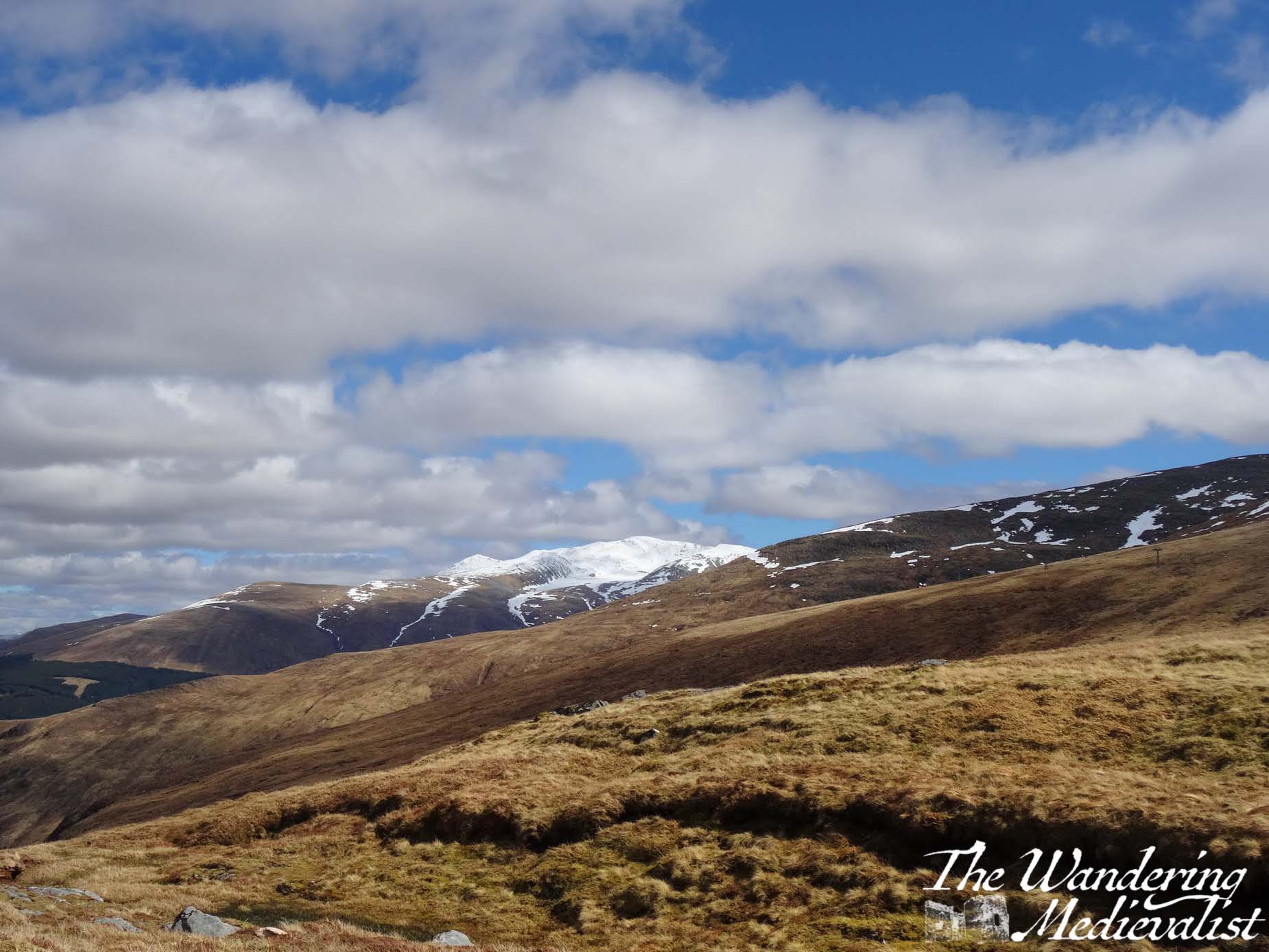
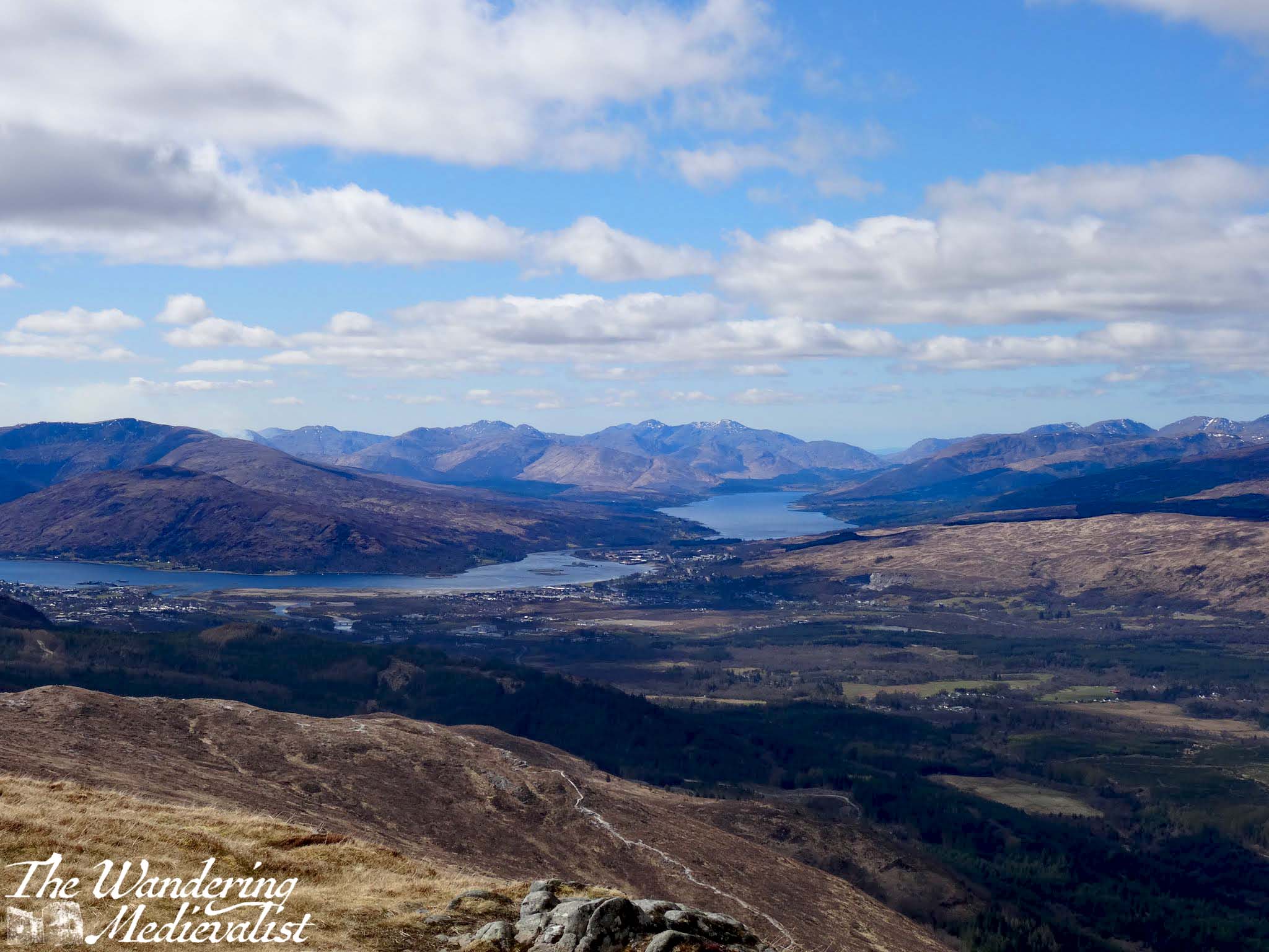
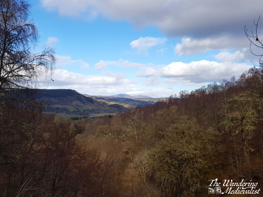
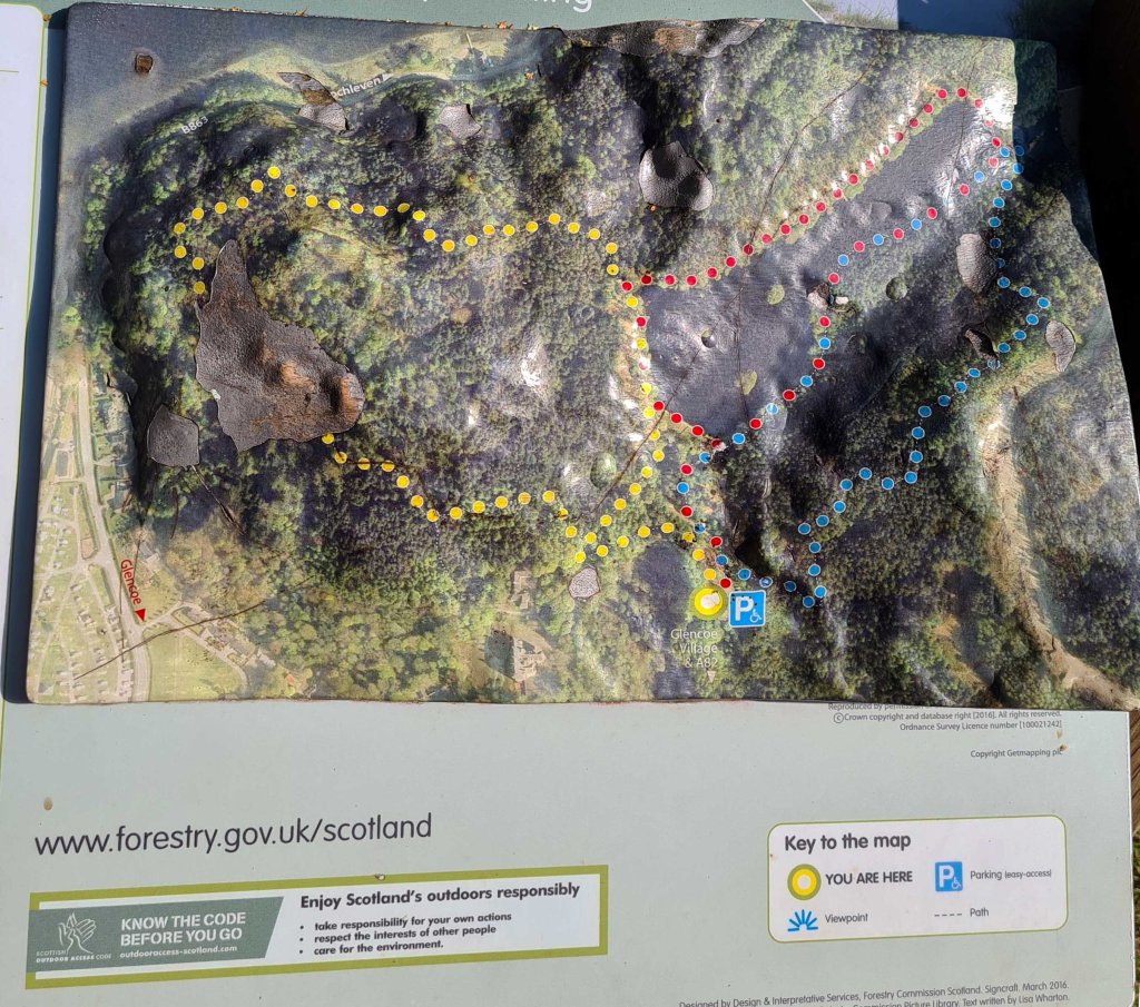
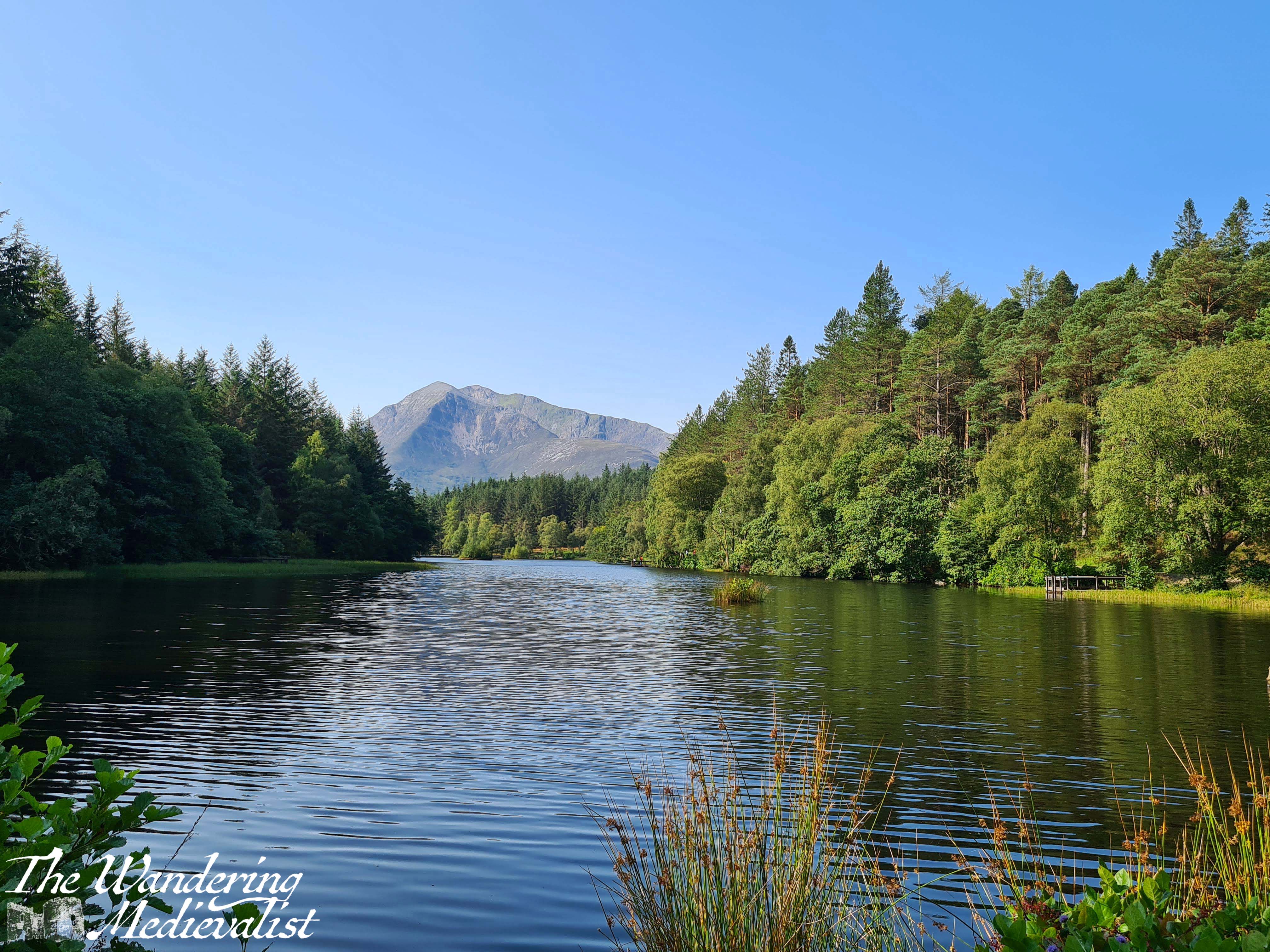
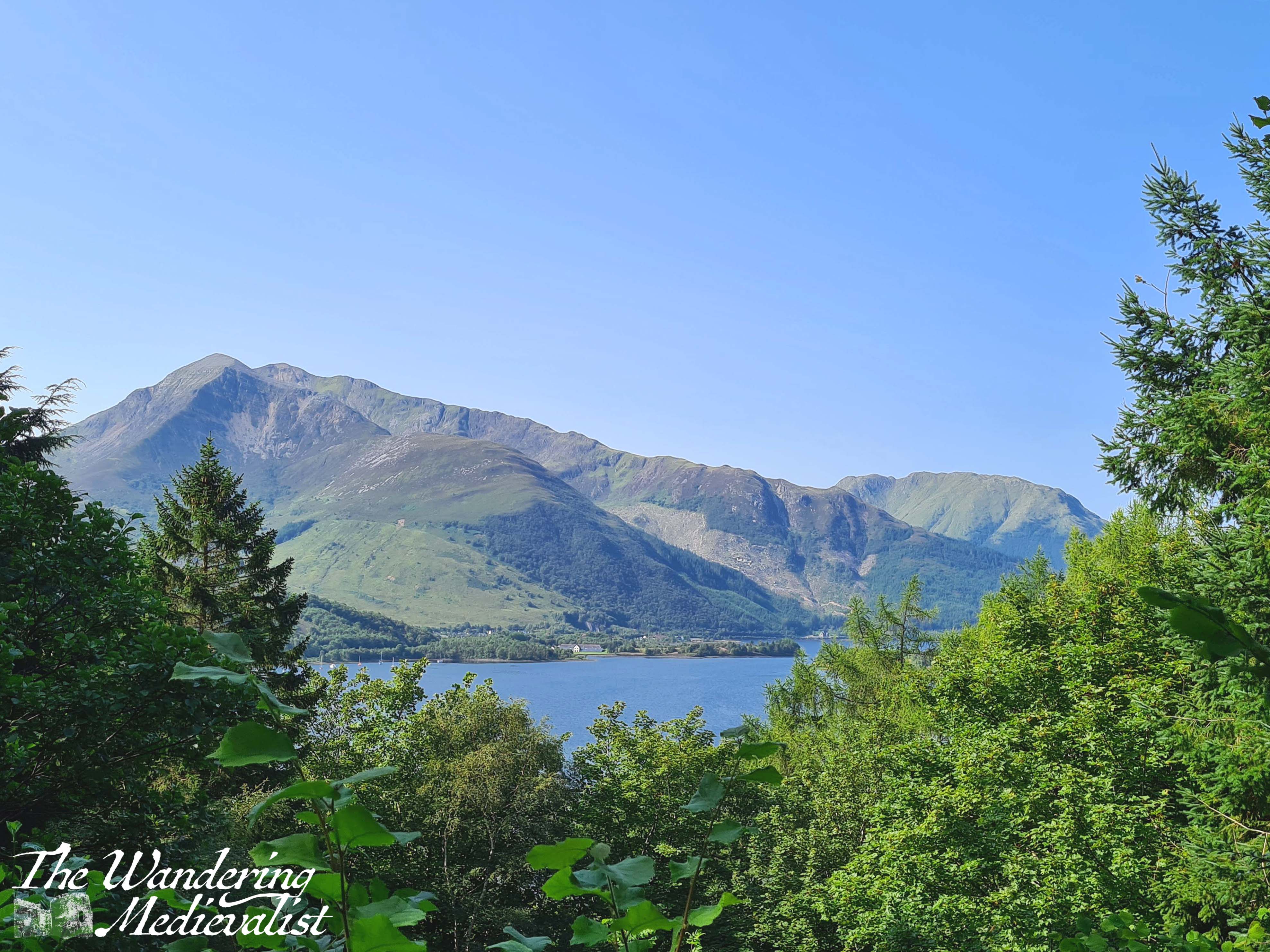
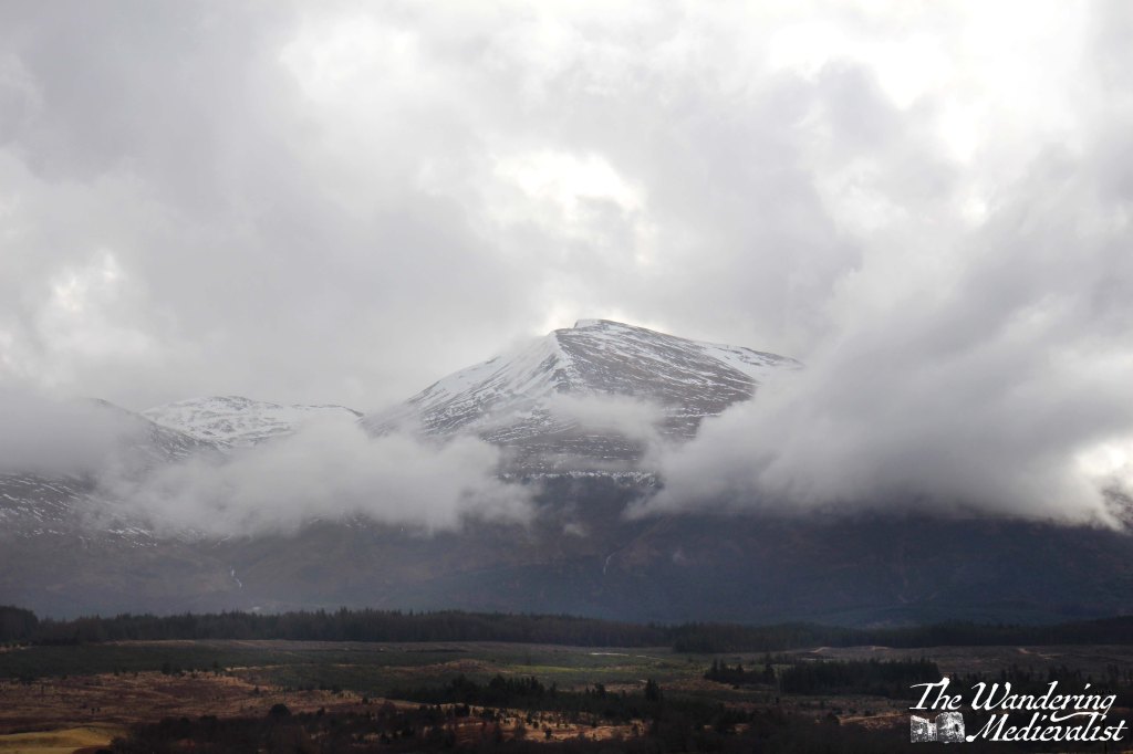
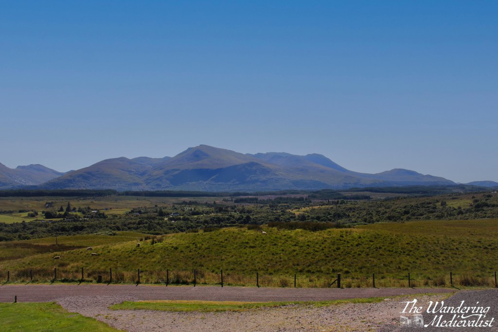
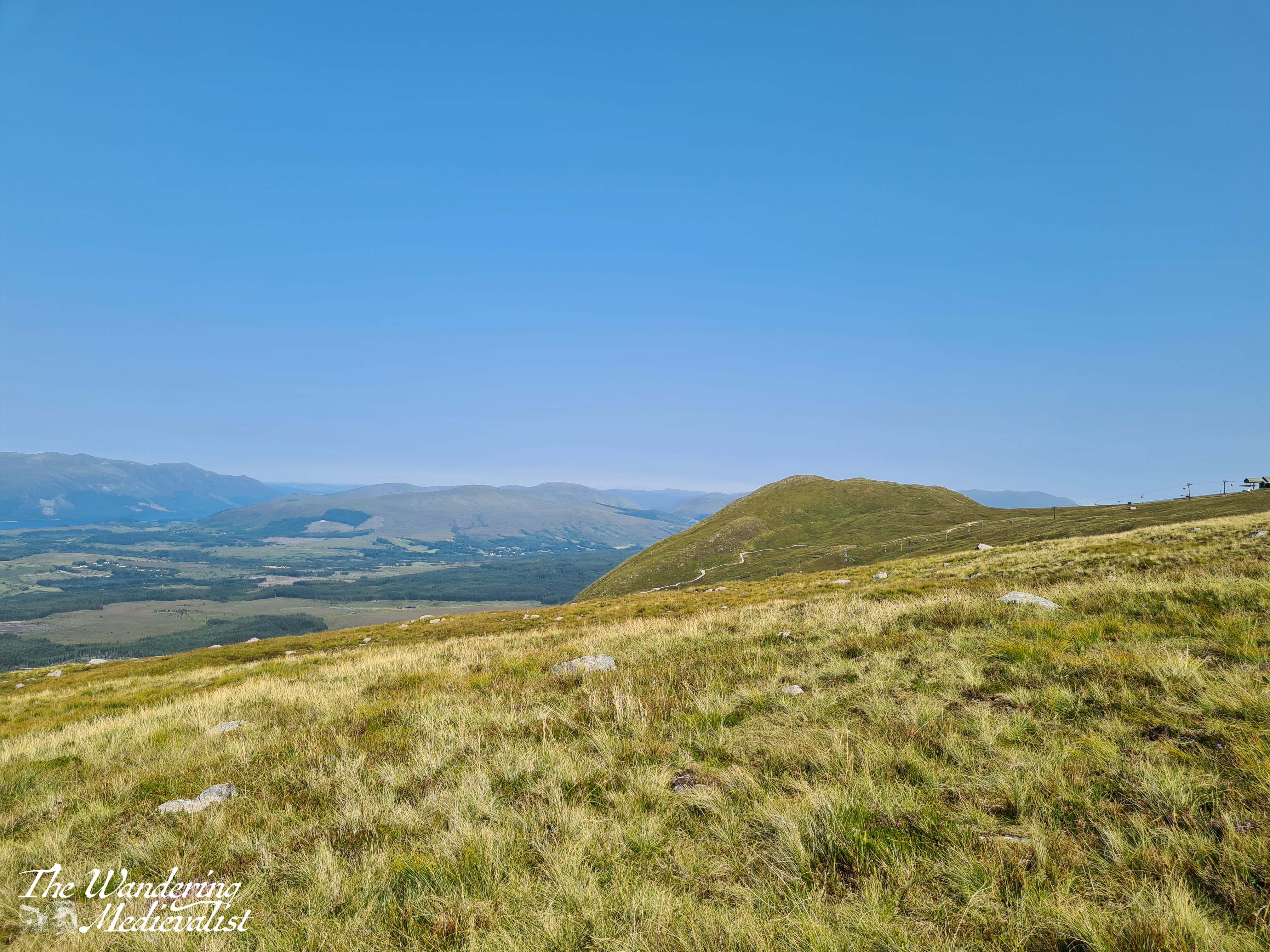
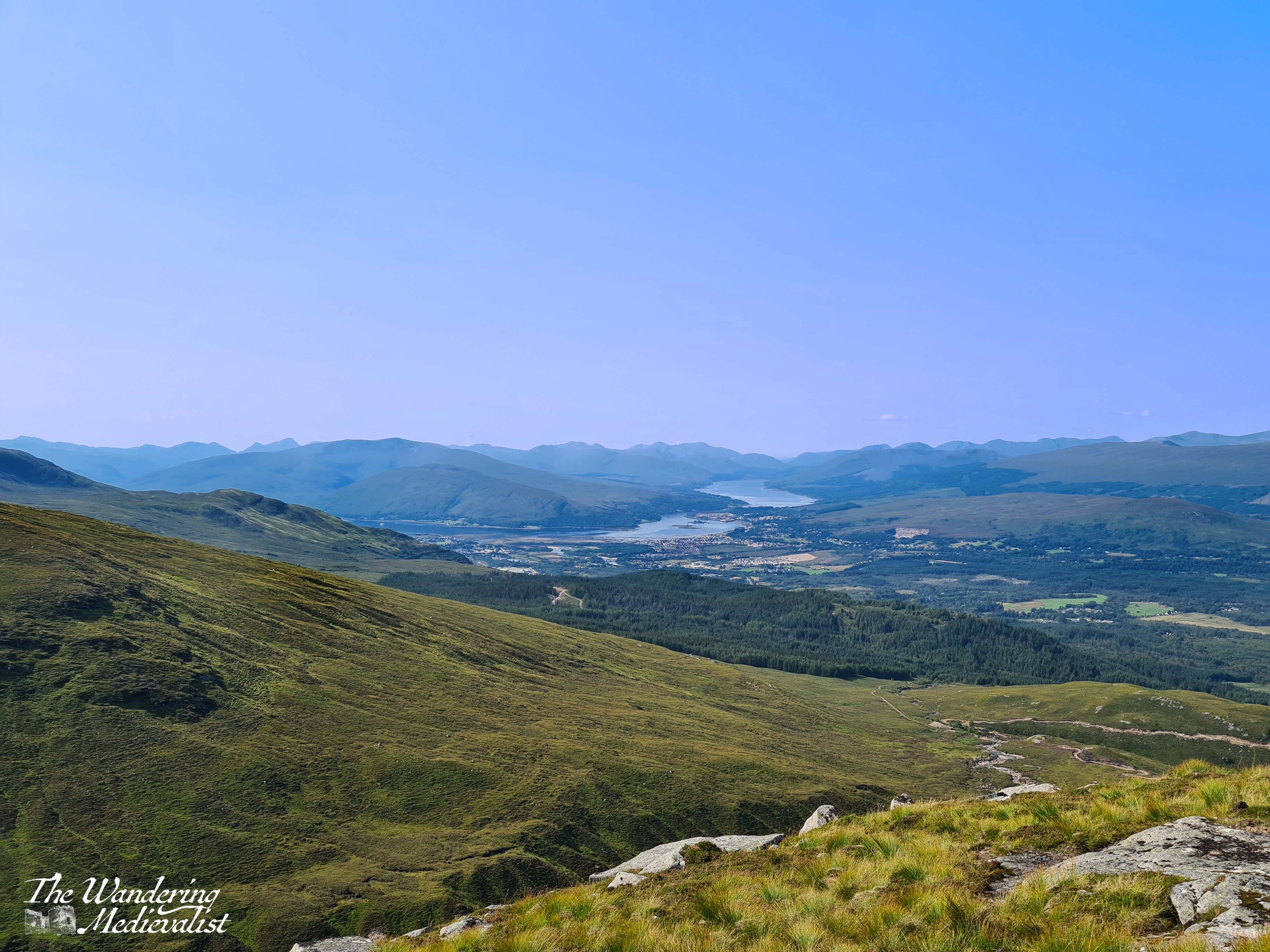
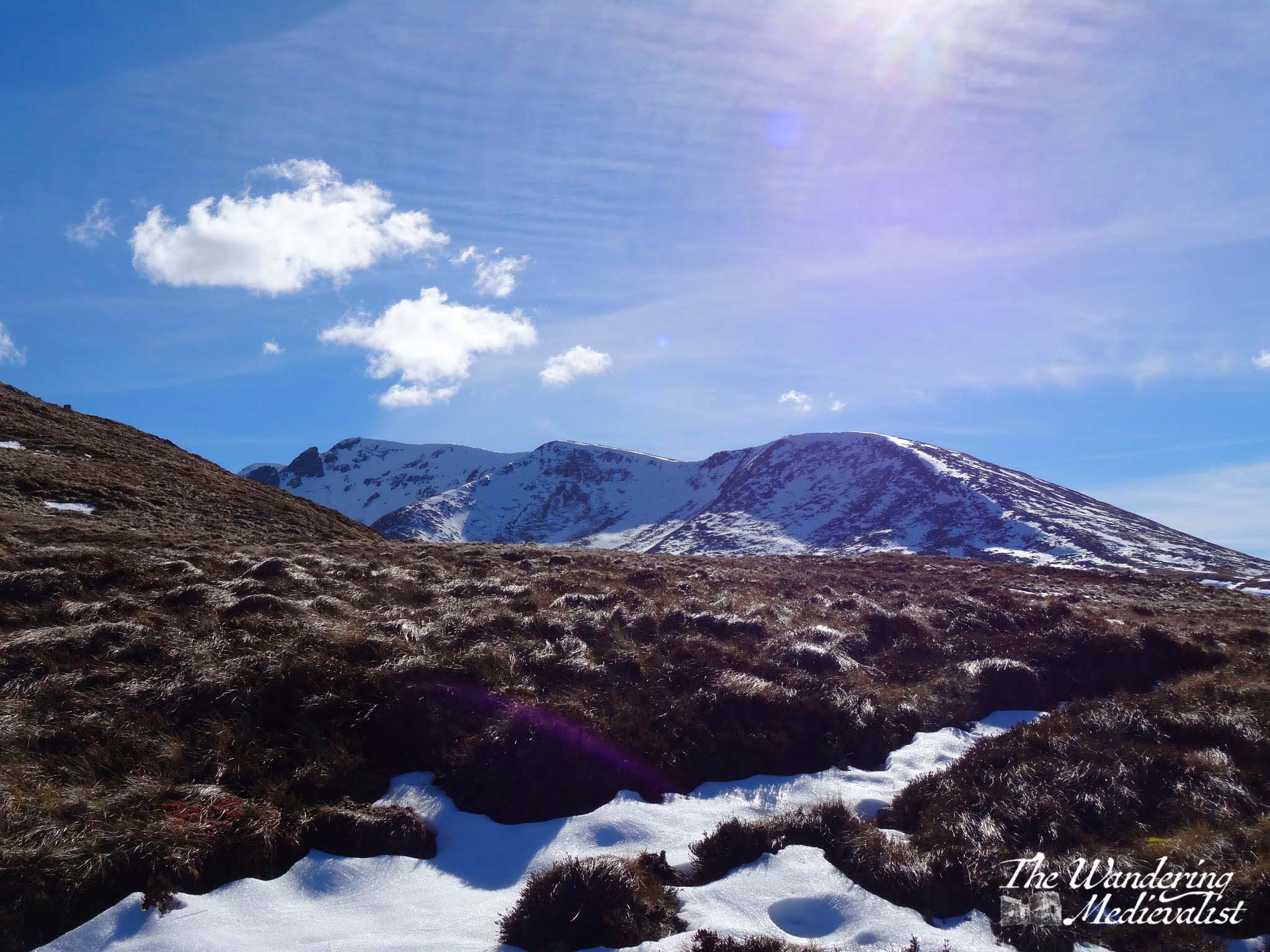
For some reason it took us until our second trip up the gondola to try the second, longer hike to the second viewpoint. I feel that referring to it in any way as ‘long’ is a bit misleading – the whole walk, out and back, is an hour at most and I think Dad and I did it faster. There are a few hilly bits but nothing overly strenuous, and the views are even better than from Sgurr Finnisg-aig. In fact, I realised on my second visit, that this viewpoint qualifies as one of my favourite places in Scotland, if not the world. From the benches or rocks, you can see west and a bit south to Fort William and Lochs Linnhe and Eil, east towards Spean Bridge, but you have a spectacular view of the back of Ben Nevis, all swept rocks and snow.
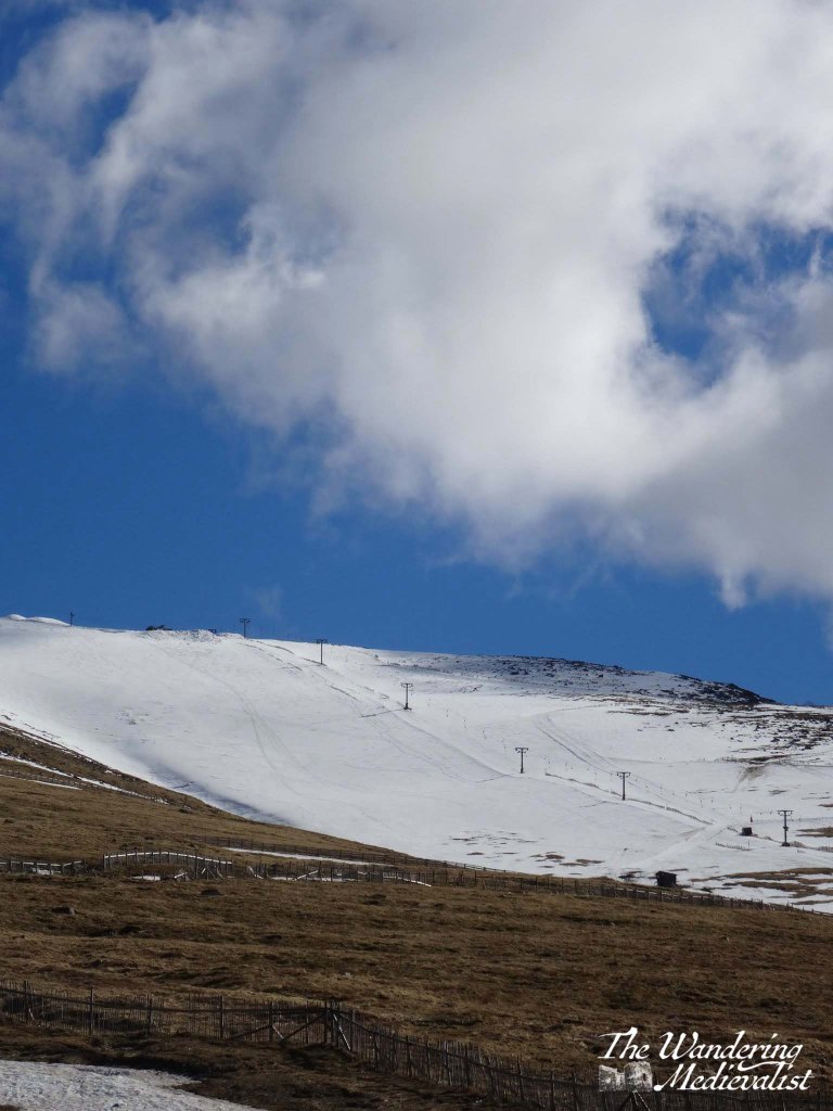
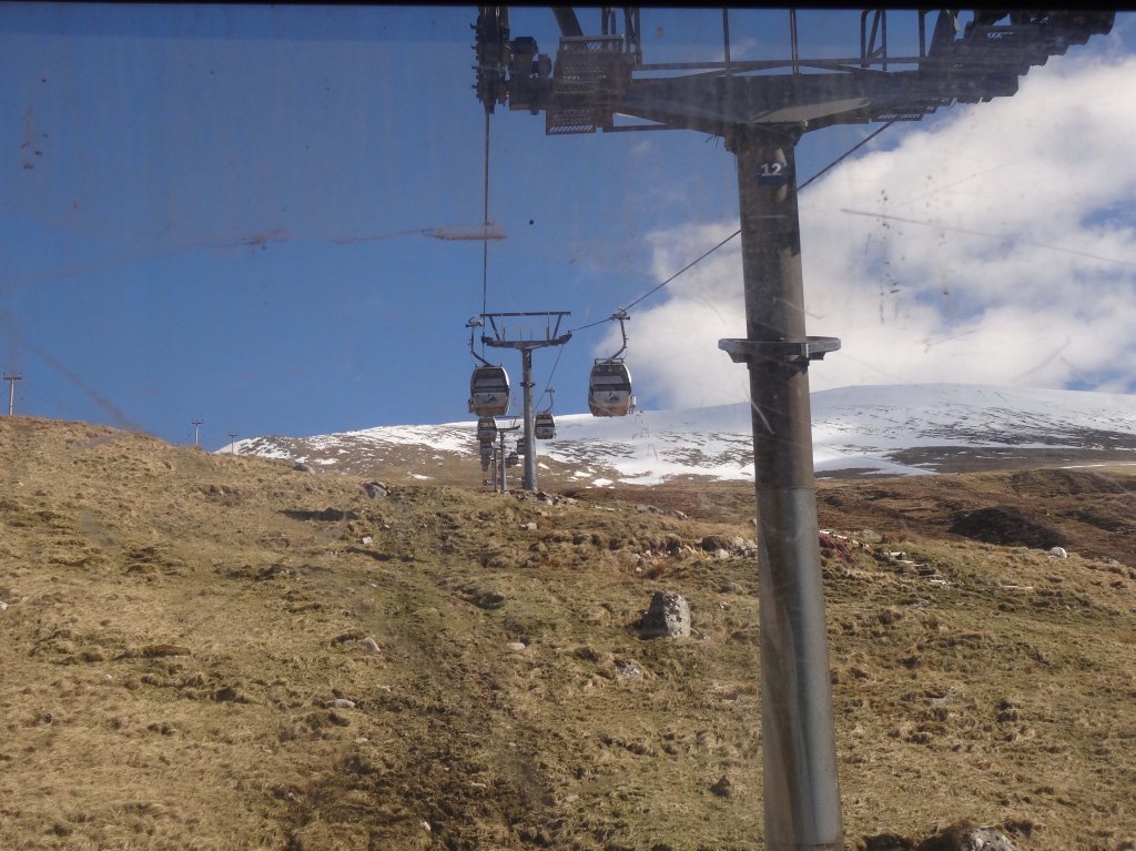
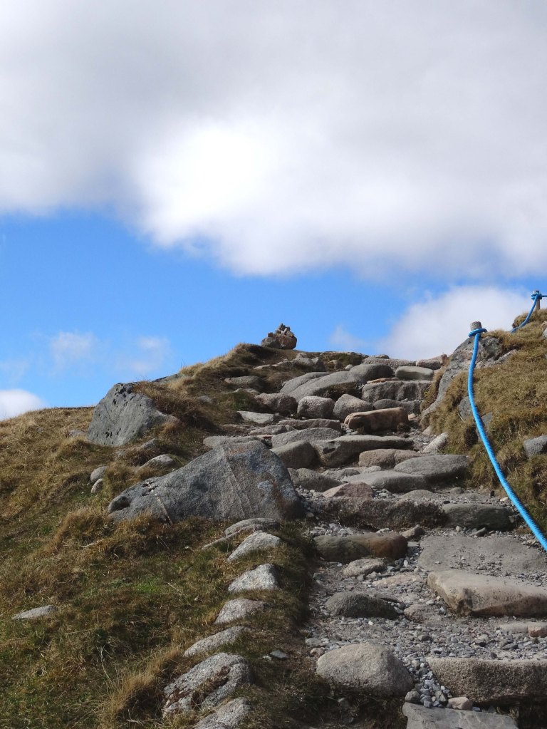
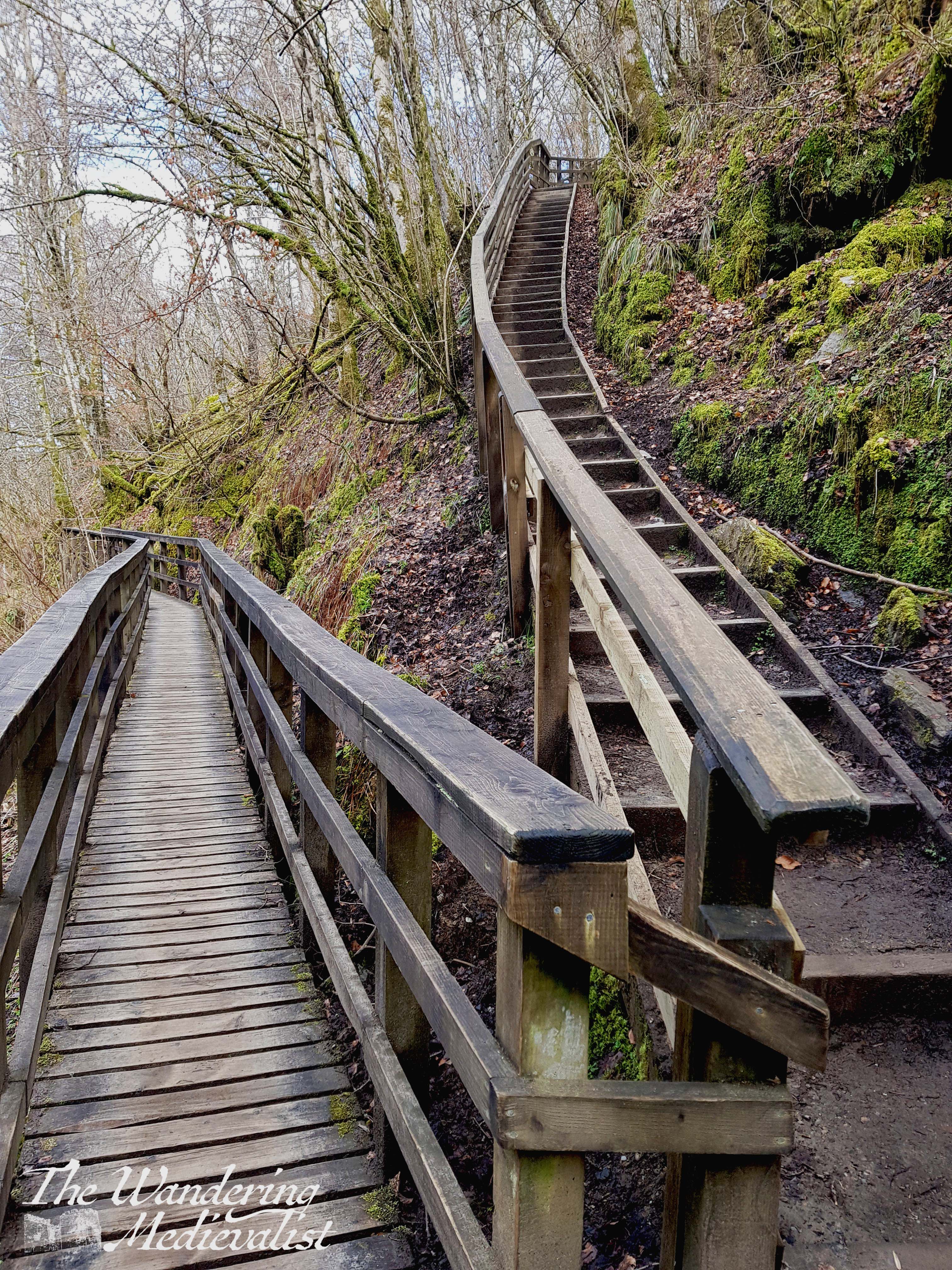
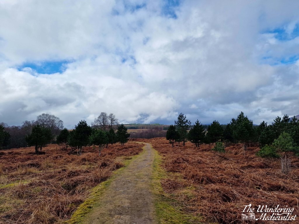
The trail begins as you leave the Snowgoose Café at the top of the gondola and turn right along a wide path, heading towards the chair lift that takes skiers to the top of the mountain.
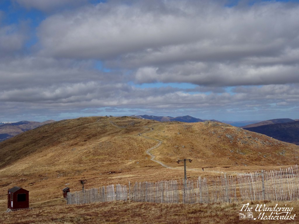
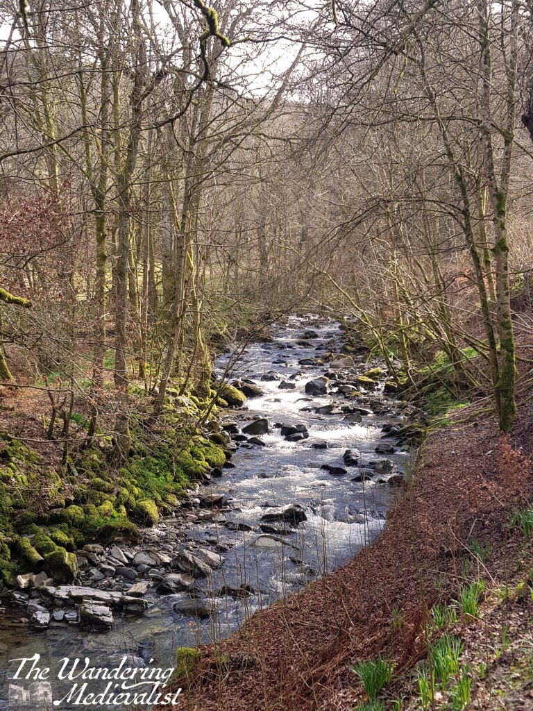
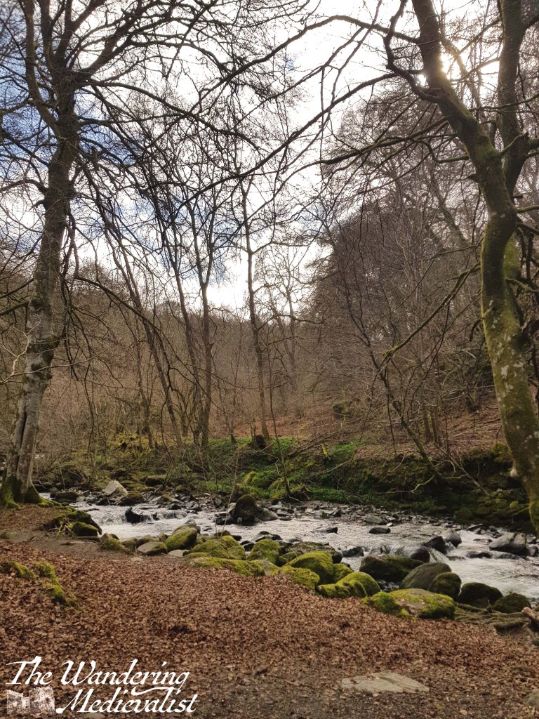
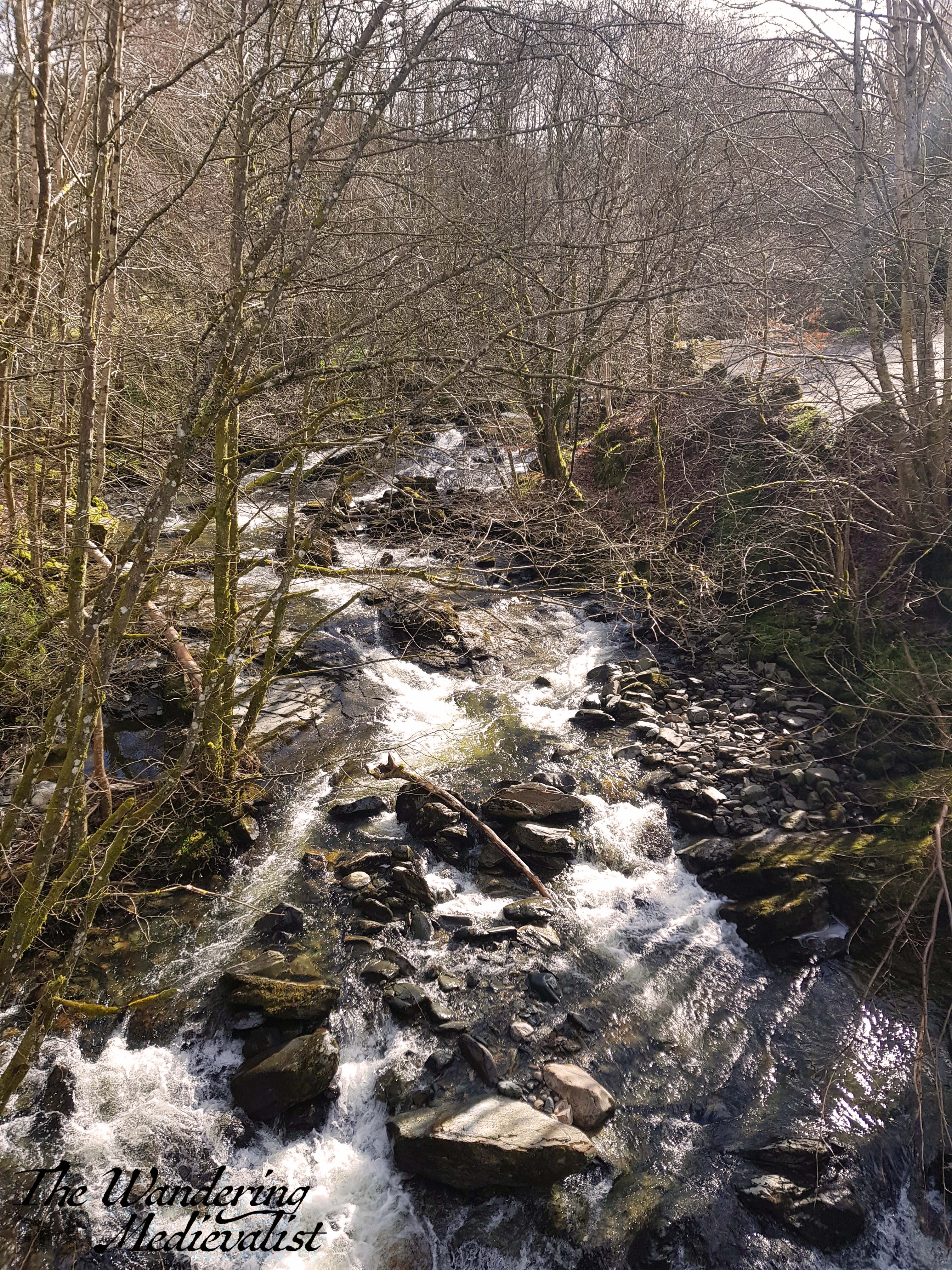
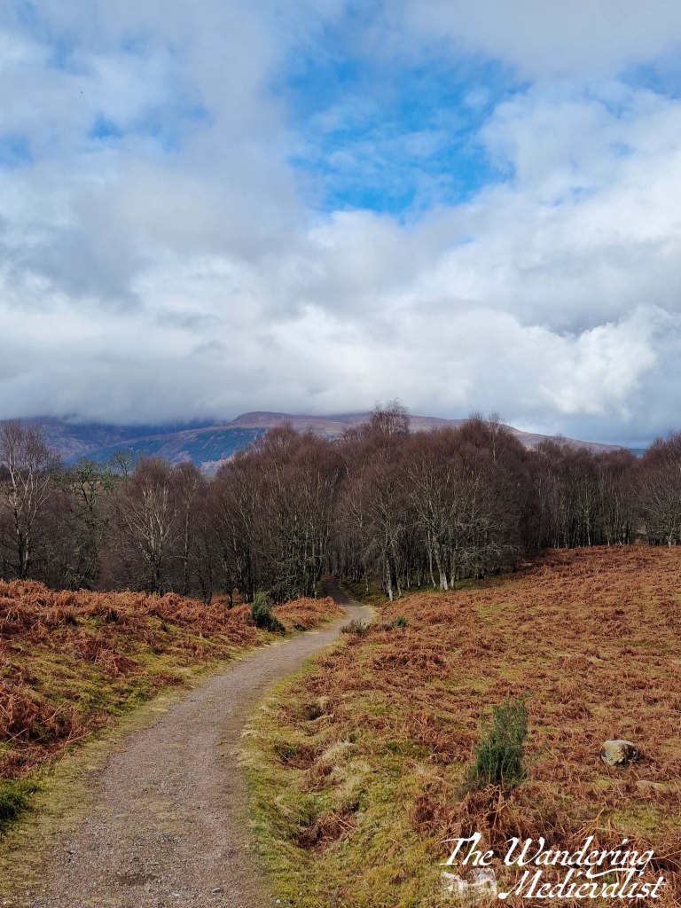
Eventually, it passes under the lift and continues along the side of hill, rising and falling and crossing over a number of small burns. Eventually, you can turn and look back at the café and gondola in the distance.
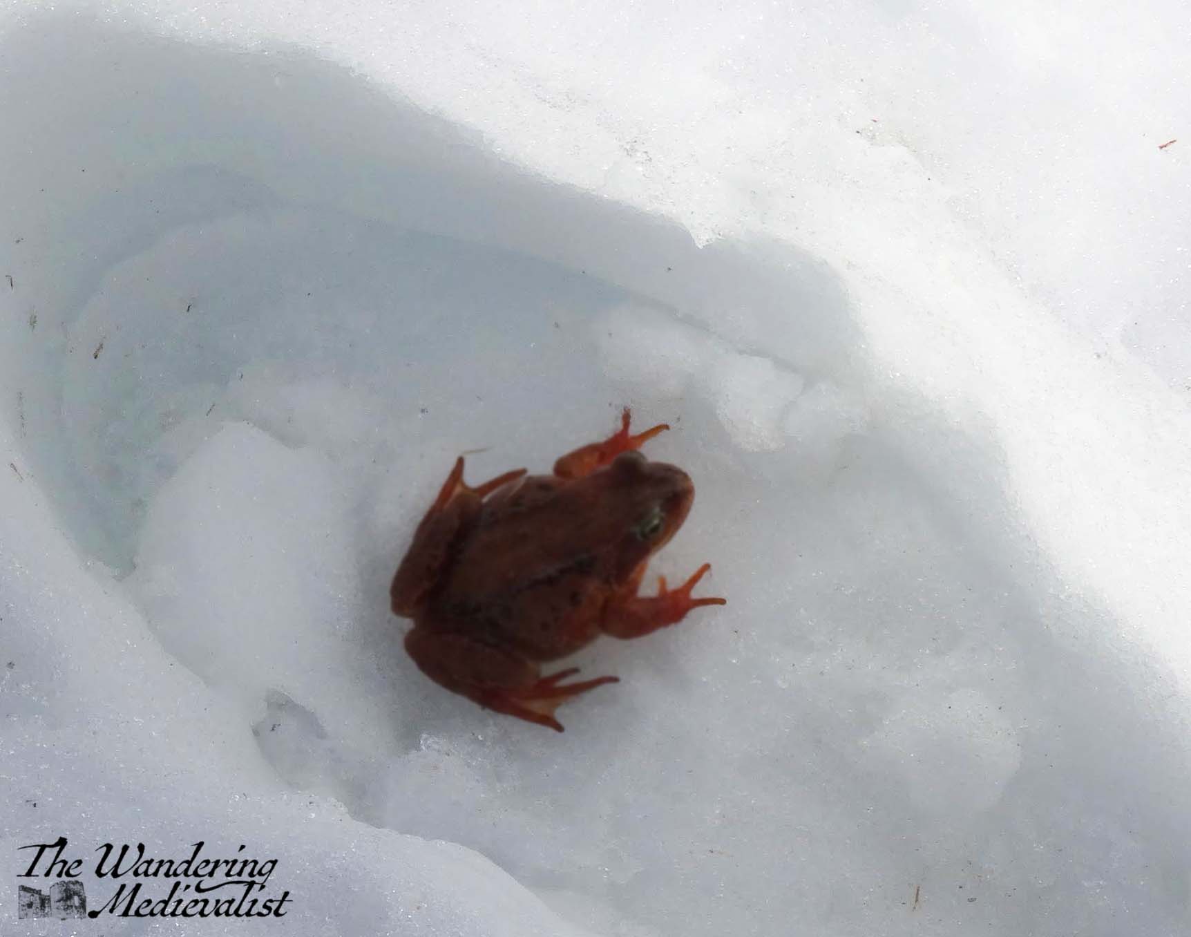
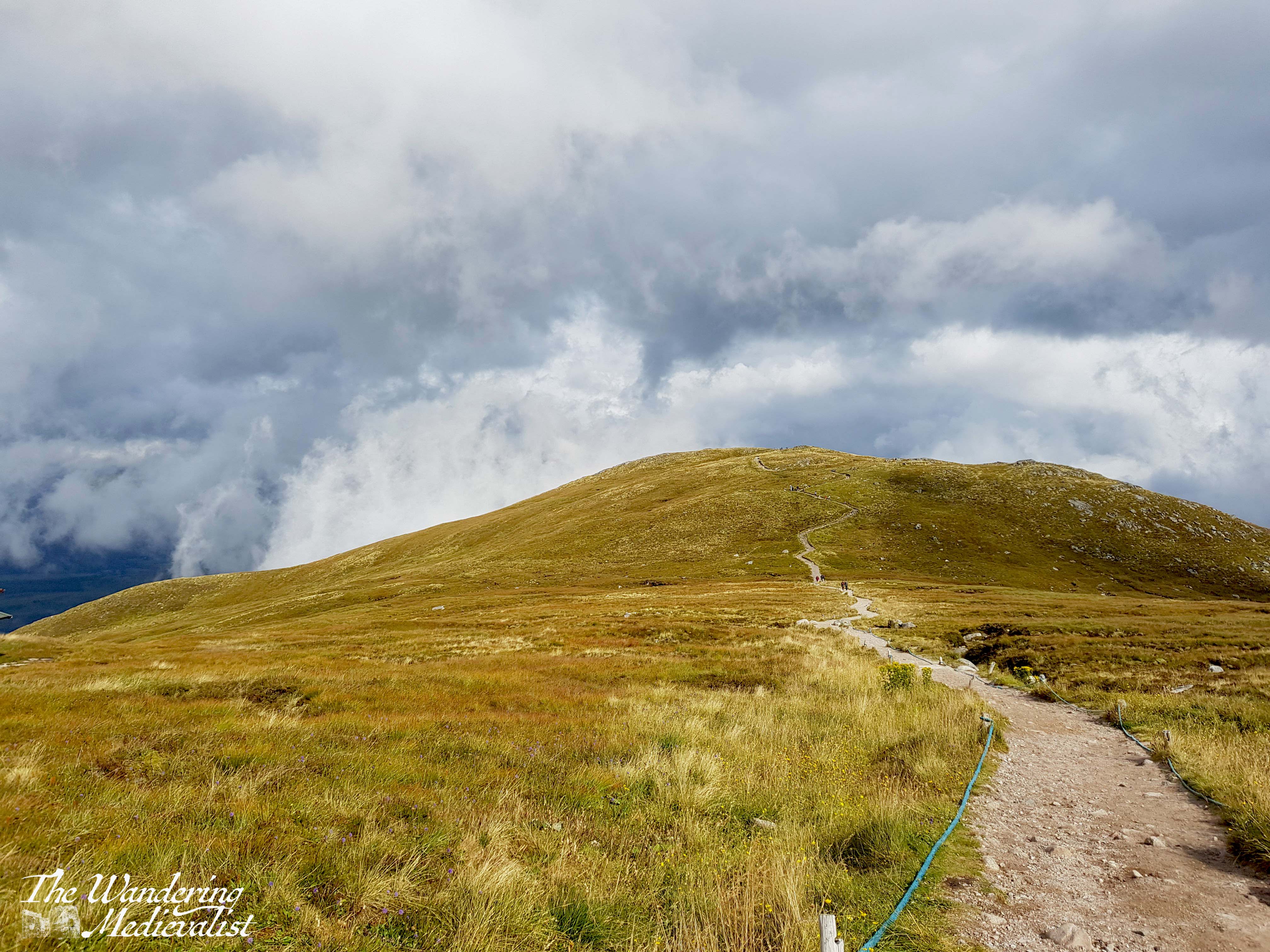
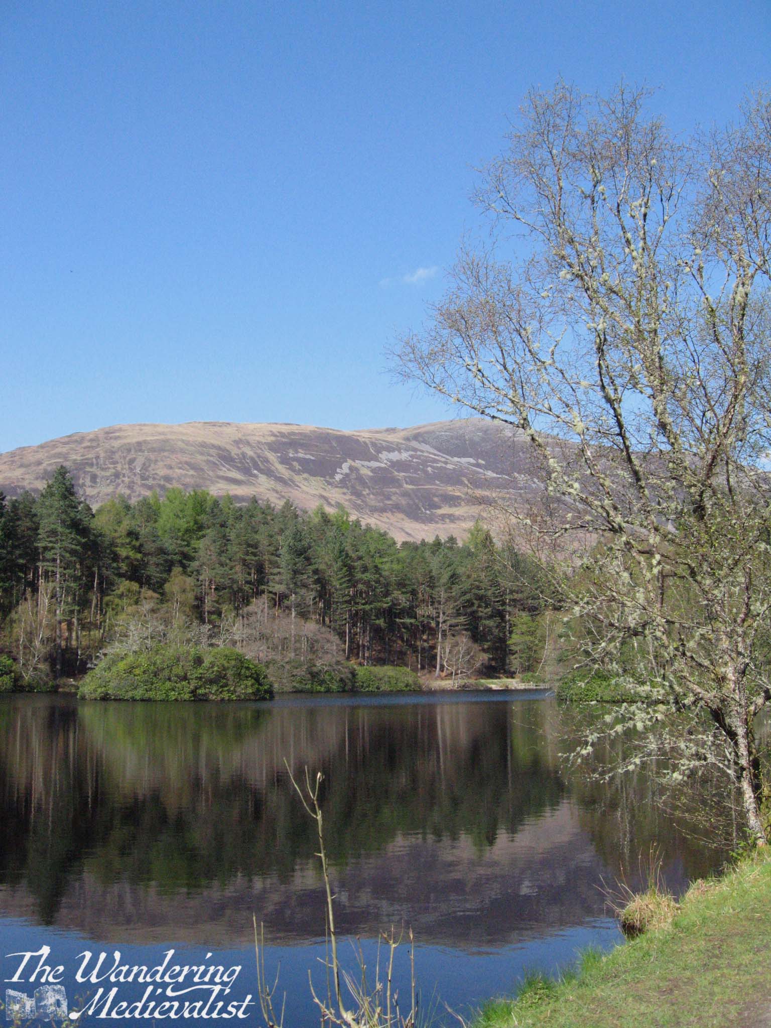
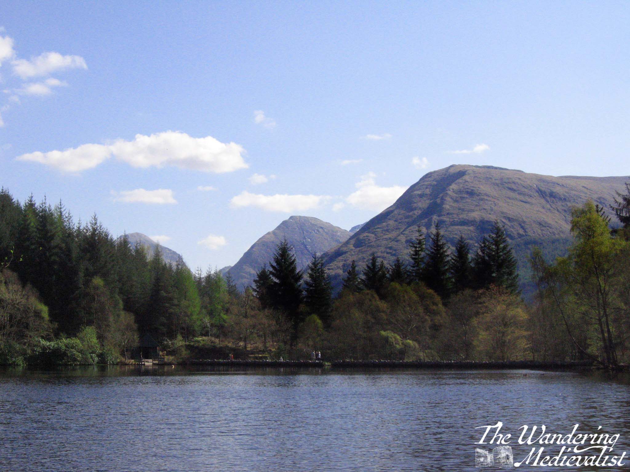
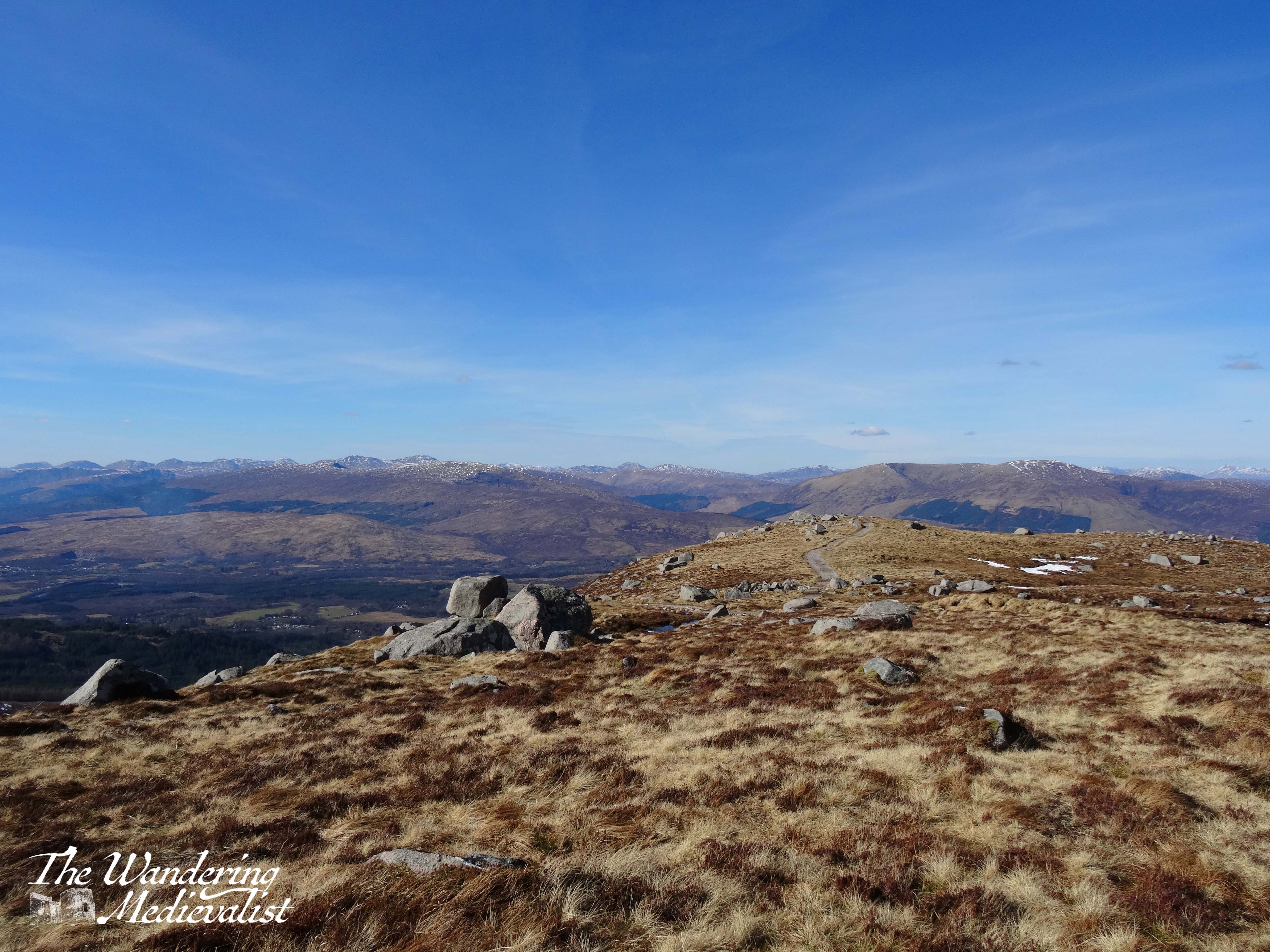
Here is the view back to the Sgurr Finnisg-aig viewpoint, as well as a little friend we found in the snow. As you move further around the hill, you get a better view down into the valley, and start to see the lochs and Fort William more clearly.

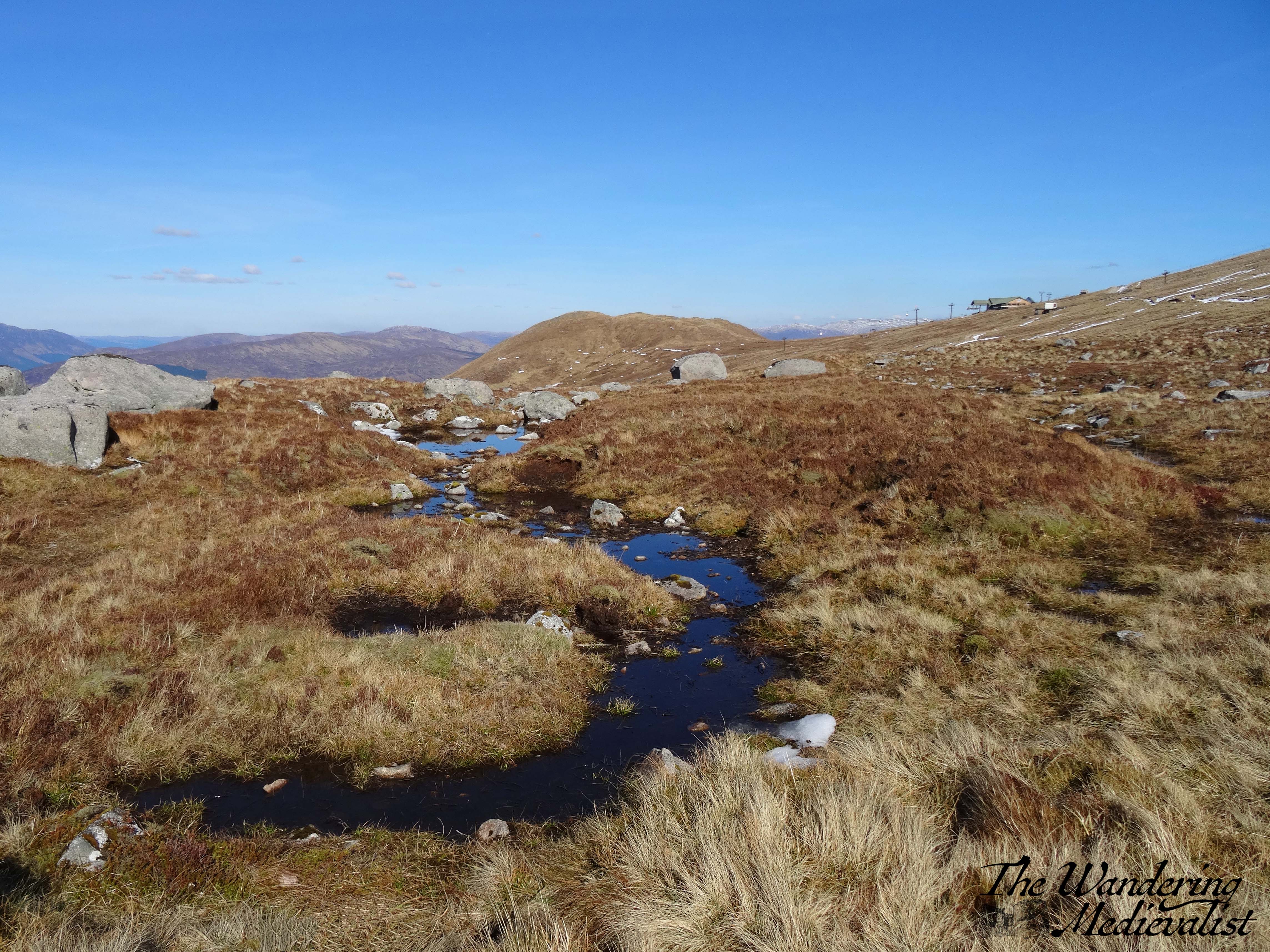
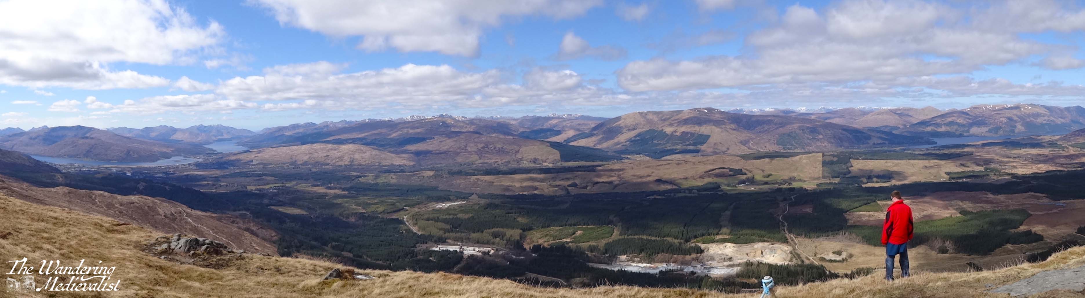
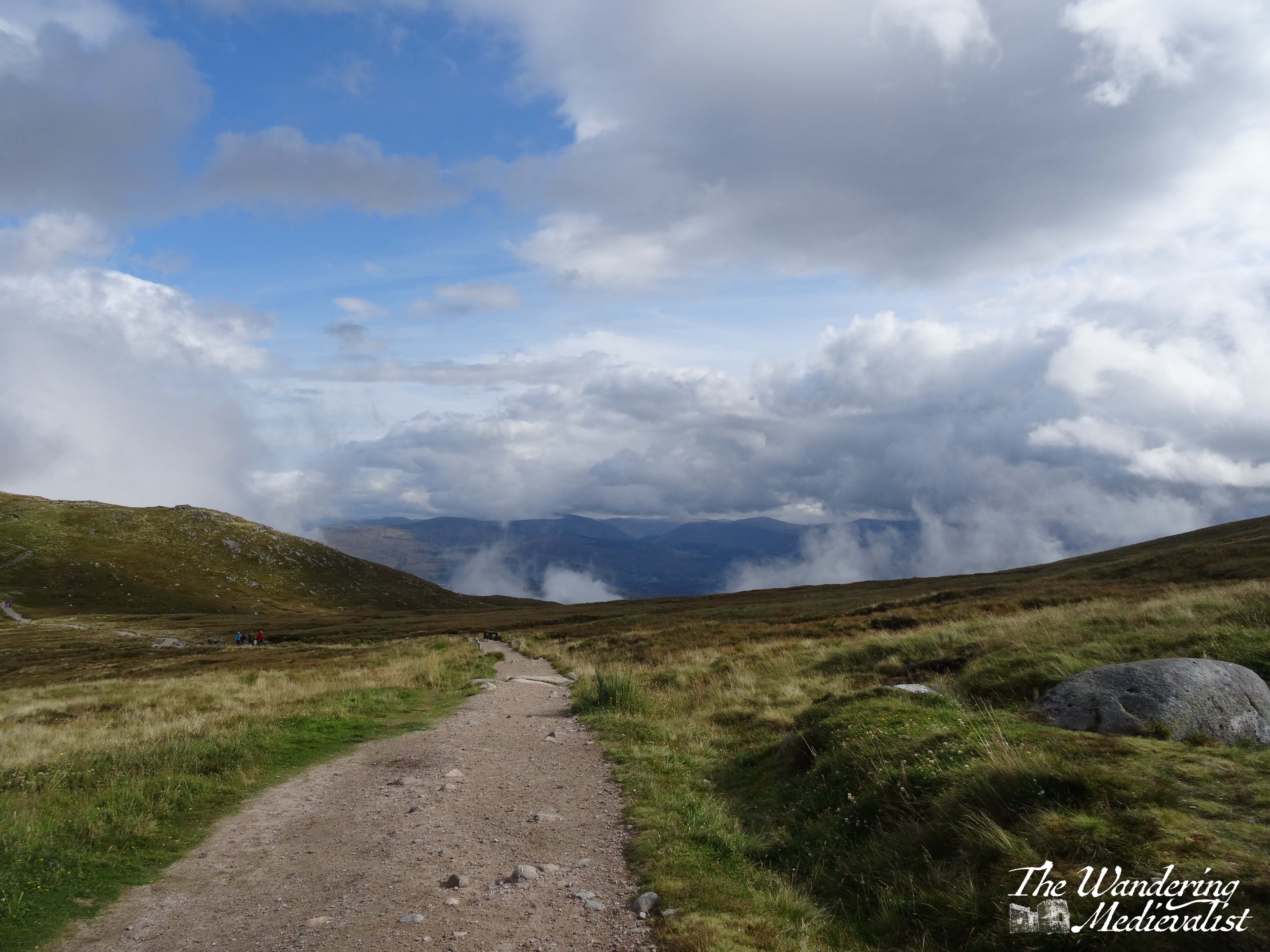
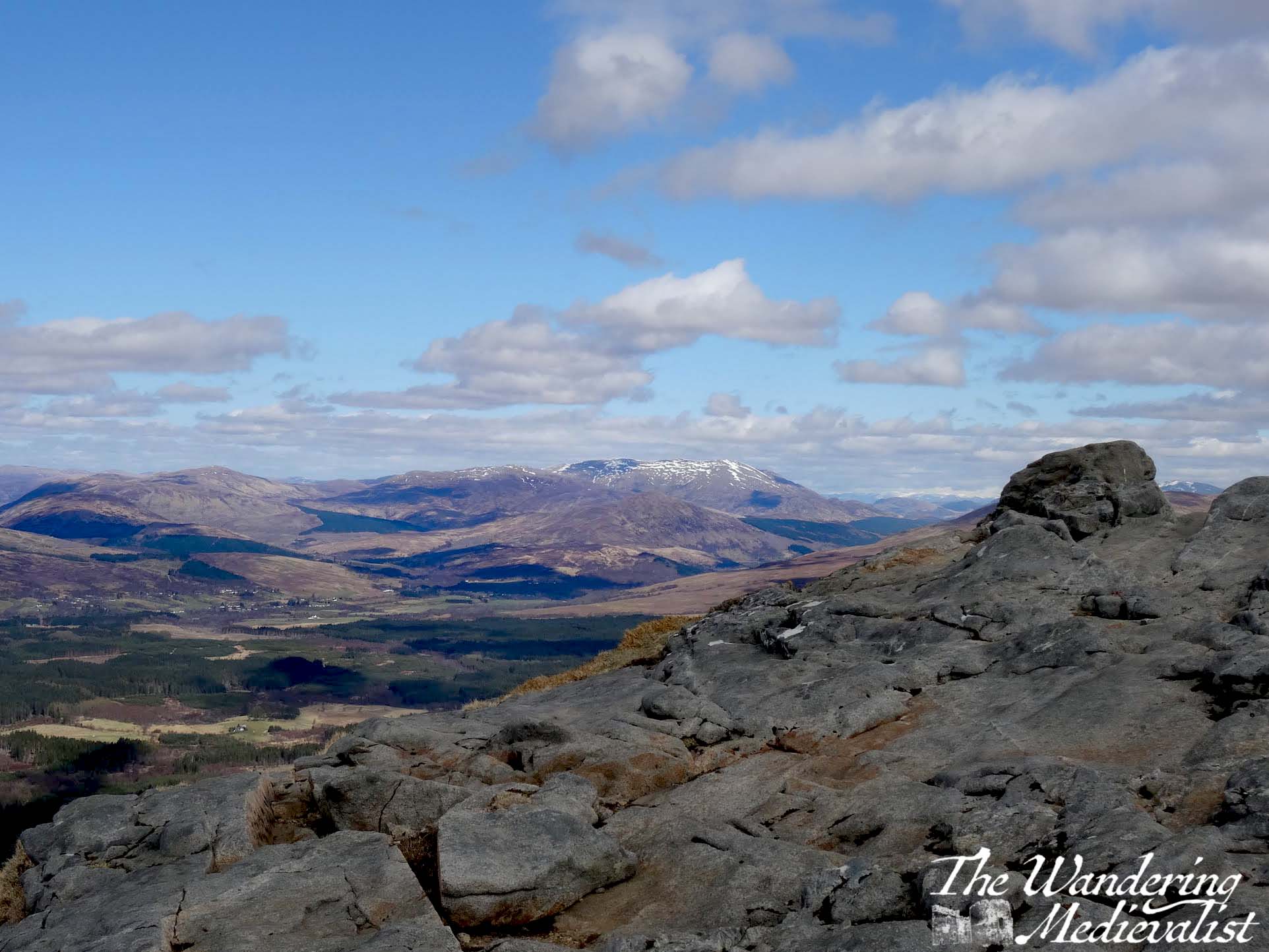
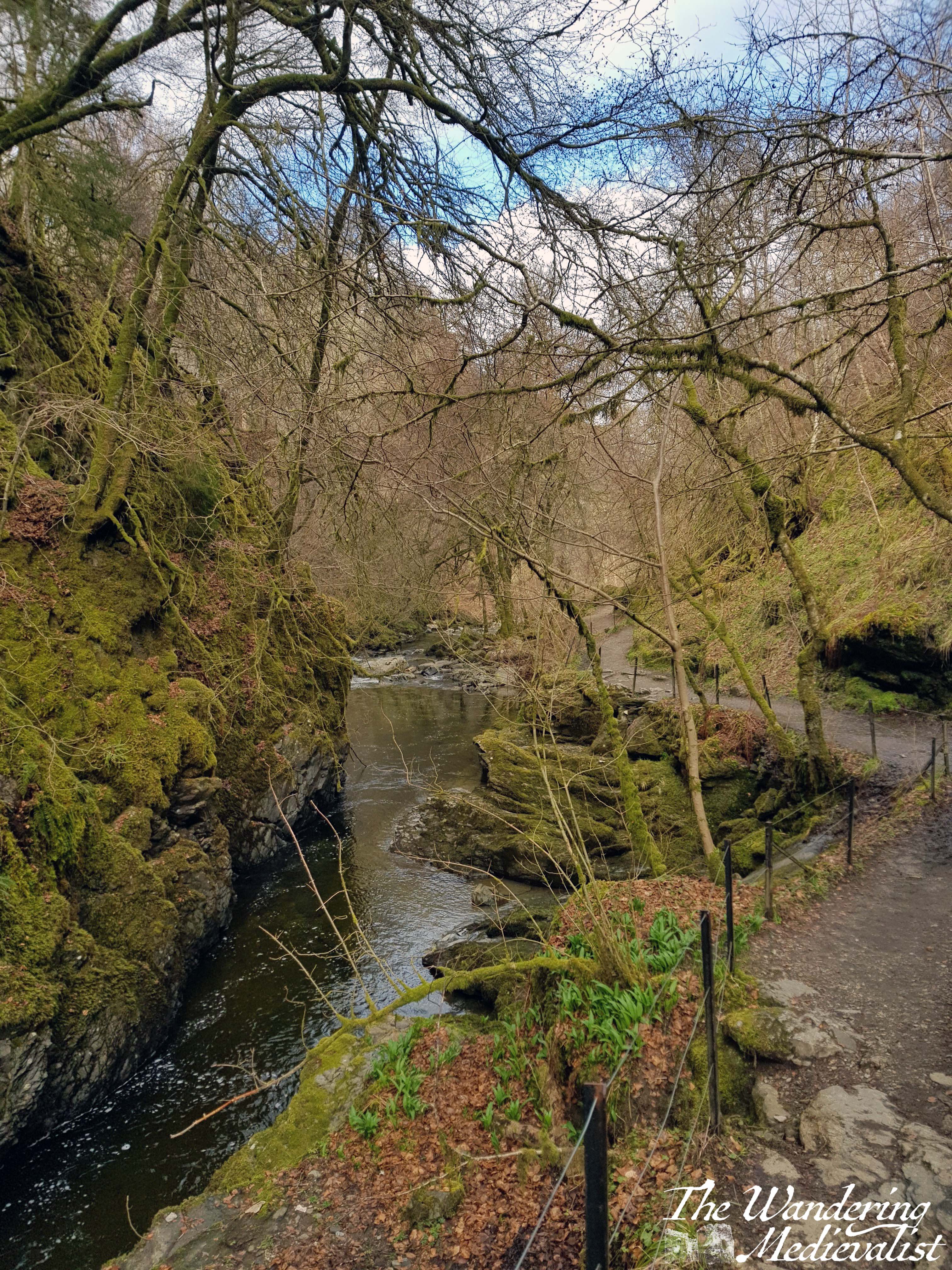
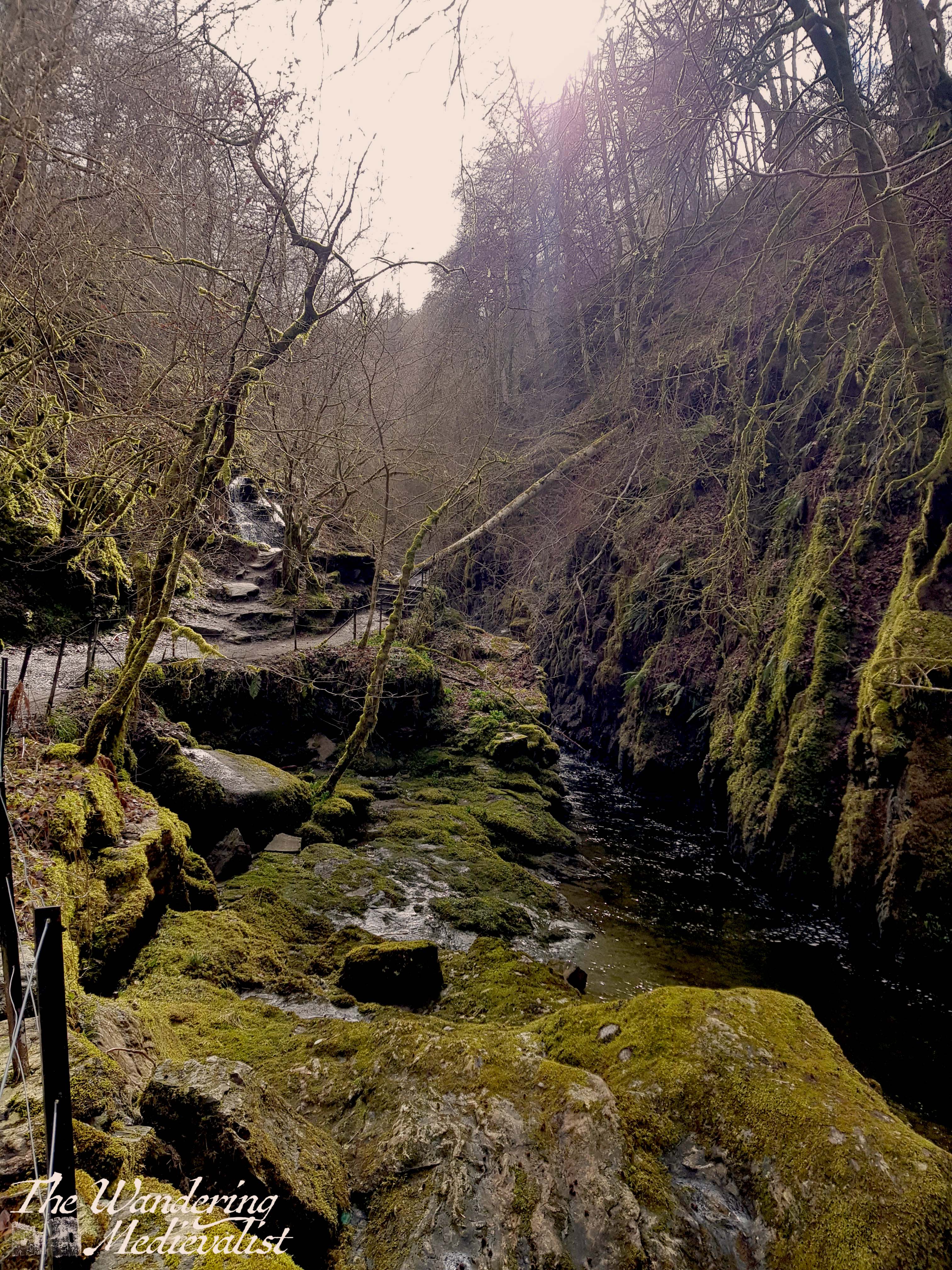
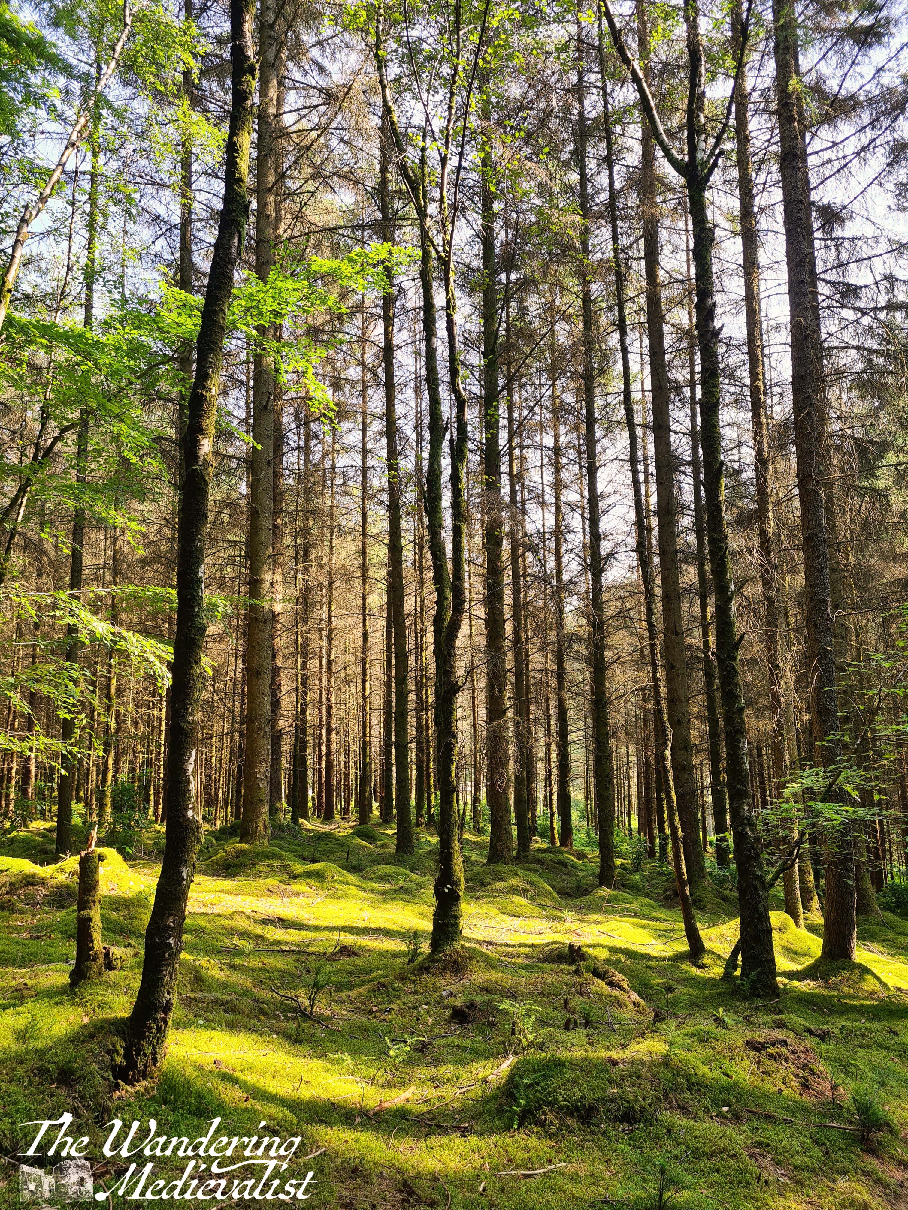
I find the peaty water tumbling through the heather and boggy land to be fascinating and beautiful, but nothing is as impressive as the view from the end of the walk. Like at the other viewpoint, there is a guide showing you what you are looking at, and there are series of both benches and rocks to perch on as you enjoy the vista. I could quite happily sit for hours, I think, watching the clouds (if there are any) and taking in the awesome sights of the view down and also back up the valley and to the sweeping height of Ben Nevis.
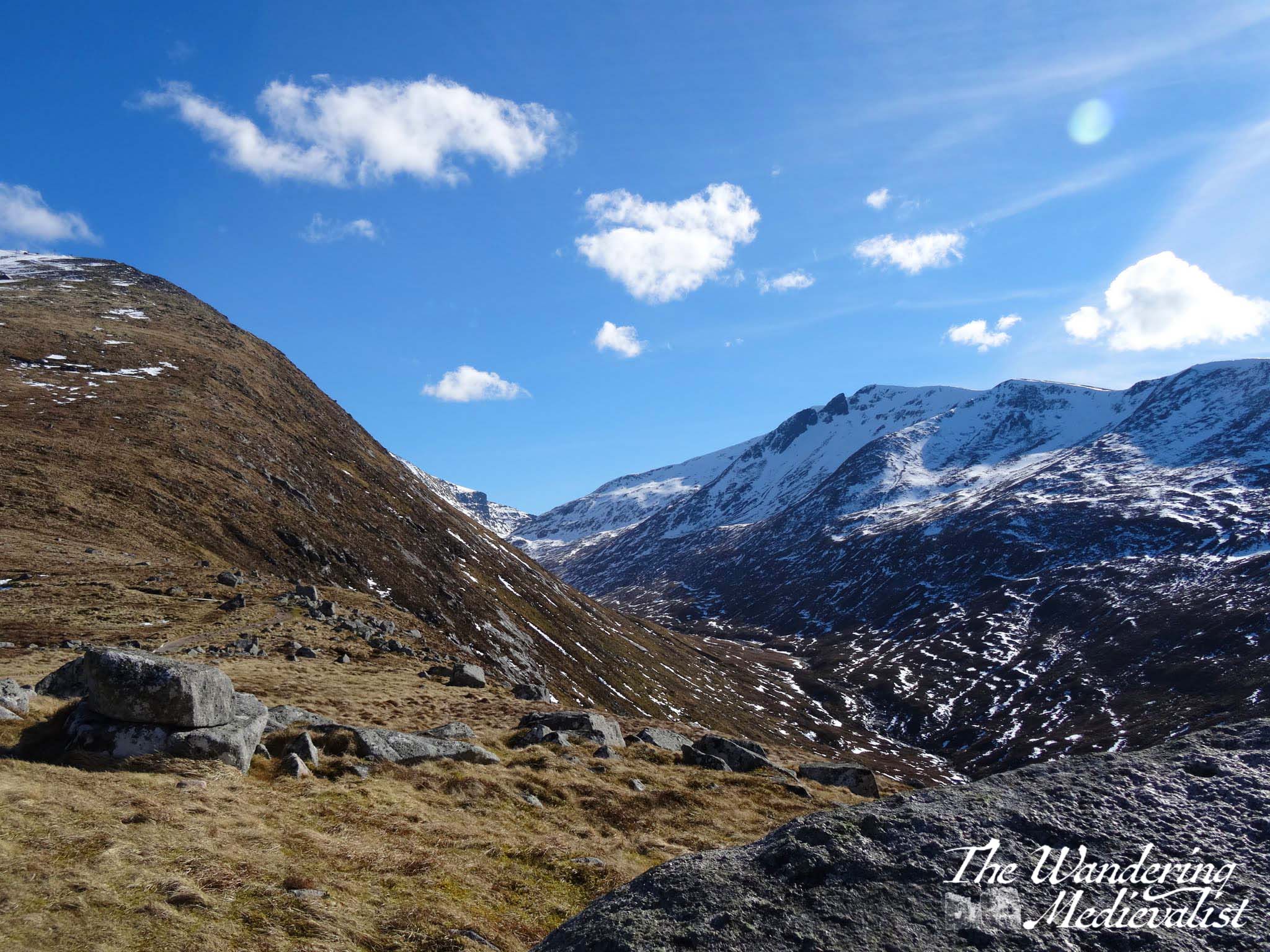

In both height of summer and snowy seasons, the view is just breath-taking, and I always have to force myself to turn around and start making my way back. Much like the let-down I always feel as the A9 passes Perth and Fife opens up in front of me – meaning I know I have really left the Highlands behind – I find the trek back to the café to be less enjoyable than the way out. But, once back at the Snowgoose, the best option I find is to get a coffee and maybe a snack, and if you are lucky, a table outside to take advantage of being high up the mountain for just that much longer.
I cannot wait for my next trip!