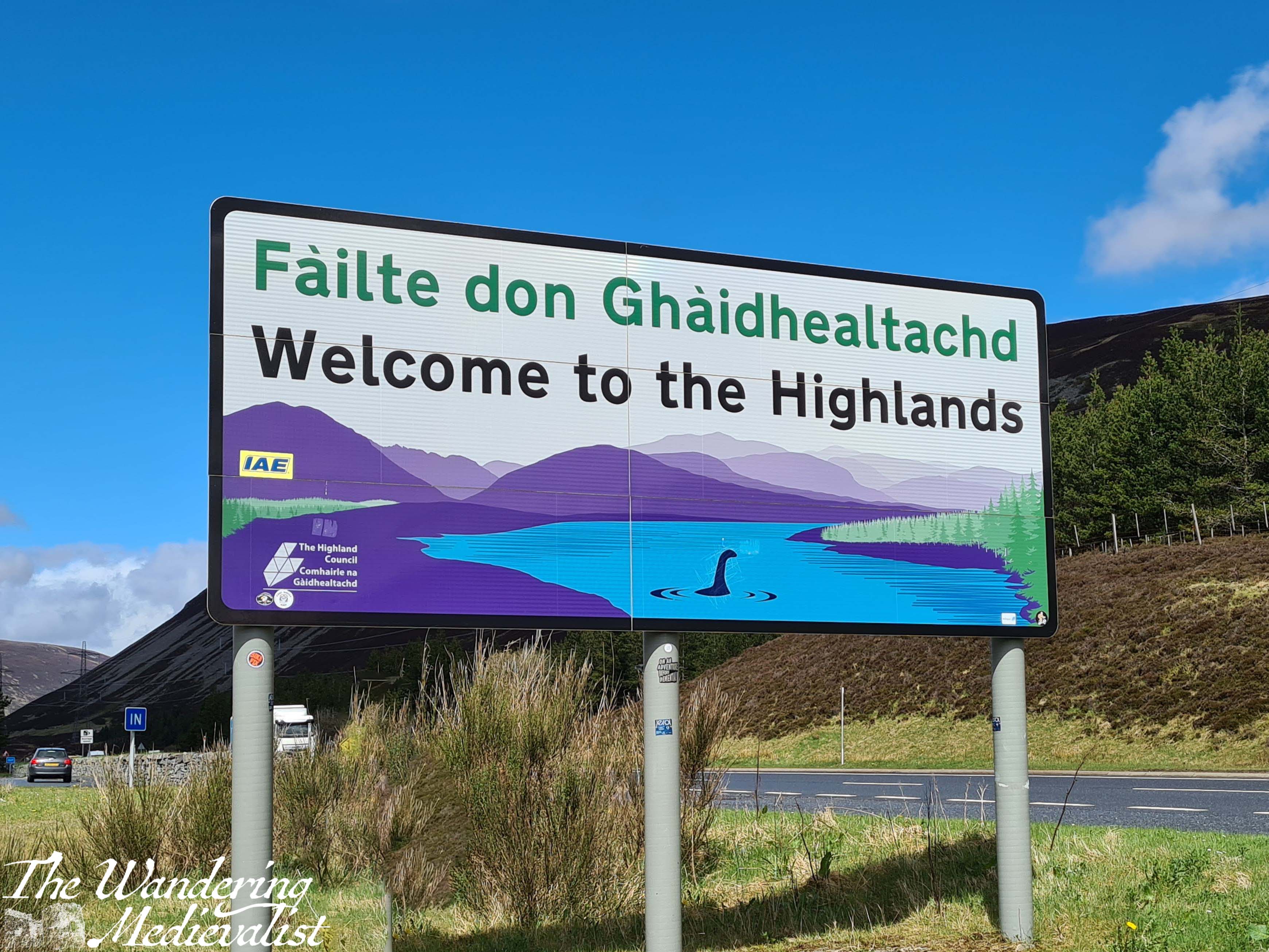
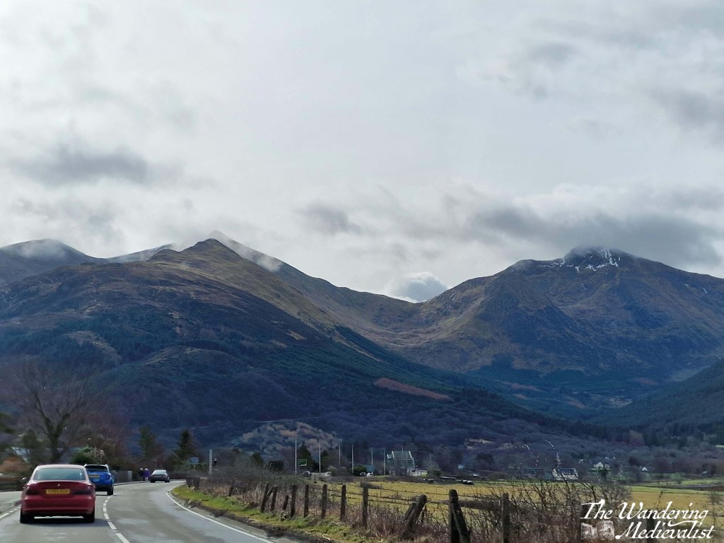
The stretch of road just south of Fort William leading through Glencoe and across Rannoch Moor is hands down one of my favourite driving routes in the world. No matter the weather, I cannot help but smile at the approach – even on the days when the rain is pouring sideways and the wind is trying to blow the car off the narrow road, as it did on one occasion which felt like driving through a hurricane. In good weather, it is simply breath-taking. In bad weather, it is atmosphere, dramatic, and a touch frightening. Either way, one should only attempt the drive when rested, confident, and possessing a full tank of petrol. Or at least a car that can make it at least 100 miles on the tank it has.
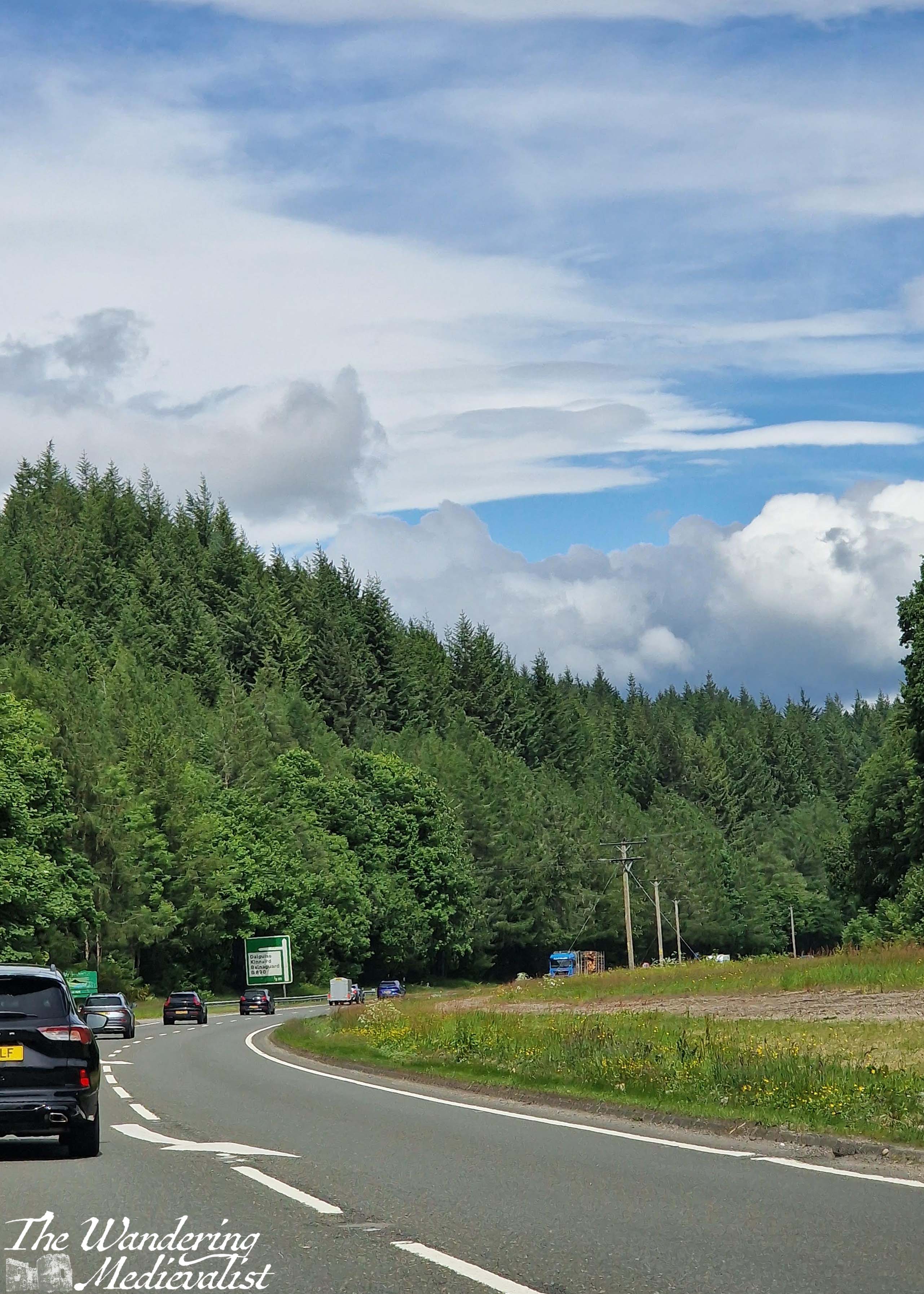
Sometimes the road is relatively clear, but most of the time it is on the crowded side, with visitors, tour busses, delivery lorries and of course locals just trying to make their way from point A to point B all crowding up the narrow highway. If stuck behind a lorry or bus, you can find your speed significantly diminished, and some will take risks to overtake. Needless to say, do this only if you feel comfortable and safe. Otherwise you just have to suck it up and enjoy the scenery – darn.
So here we are, a step-by-step of the drive, stopping at all of my favourite viewpoints.
Part 1: Fort William to Onich – 10 miles
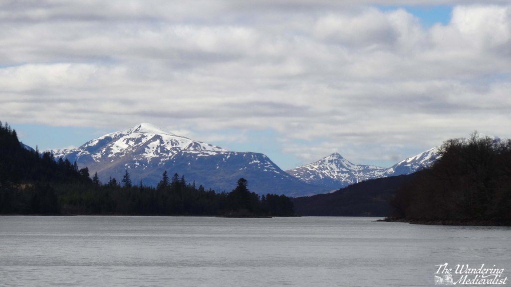
The A82 route from Fort William to Onich is about 10 miles, and hugs the edge of Loch Linnhe. For most of the route, the trees block the view of the water, but there are a few gaps and parking spots where you can pull over – in particular the Linnhe Picnic Area, about 7 miles along, which is a spit of land sticking out into the loch and providing views in both directions.

This stretch of road is winding, no question, with few straight bits. My advice? Pay attention if the signs warn you of a sharp turn.
We have never stopped properly in Onich but it seems a nice little town with a few hotels, guesthouses and B&Bs taking advantage of the proximity of Fort William and Glencoe.
Part 2: Onich to Ballachulish – 4.5 miles
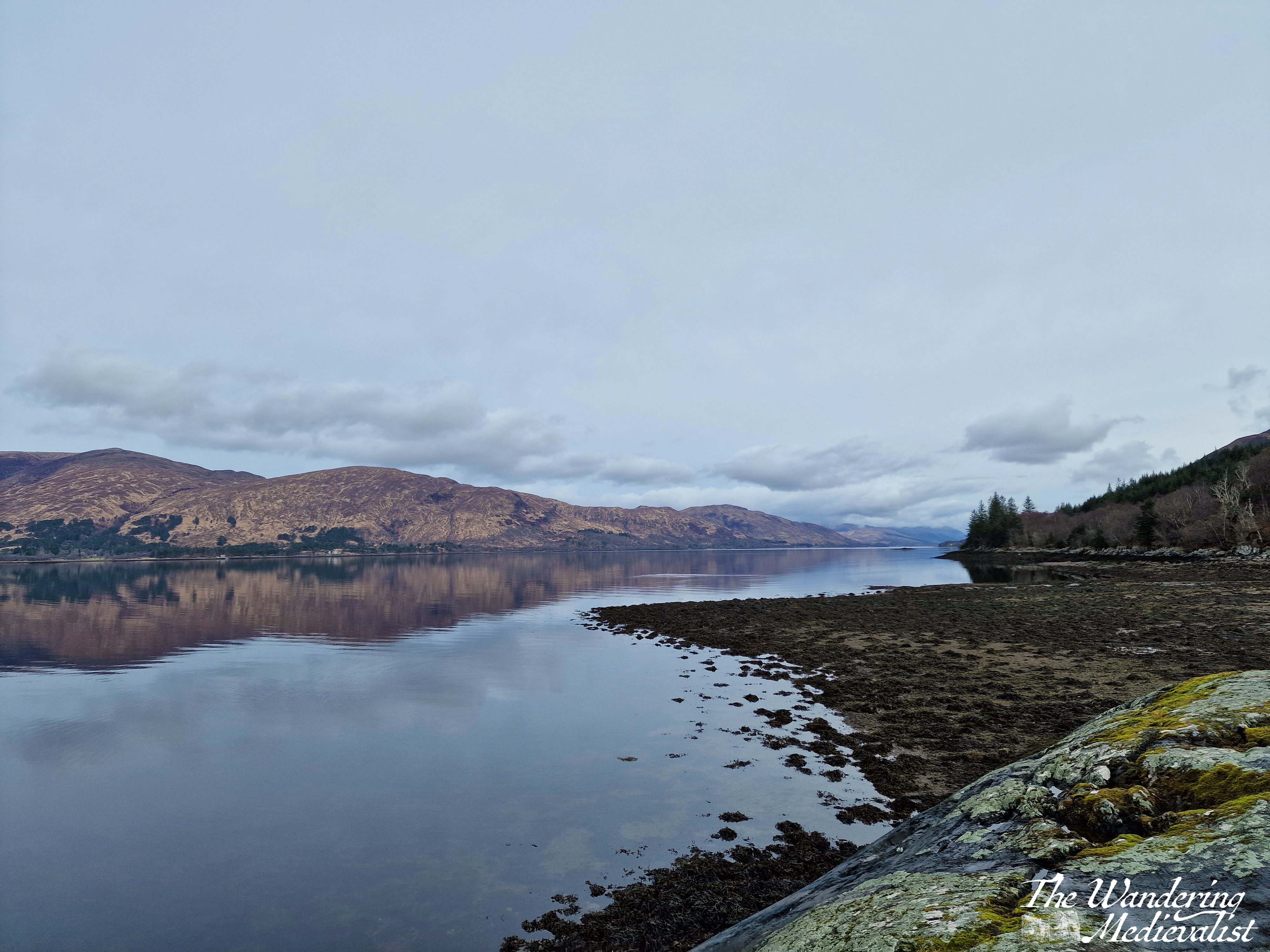
From Onich, it is a simple matter of following the A82 across the Ballachulish Bridge, which spans Loch Leven. Once across you can head straight south towards Oban, and this is also a beautiful drive along the water, but my route will take you left towards Glencoe.
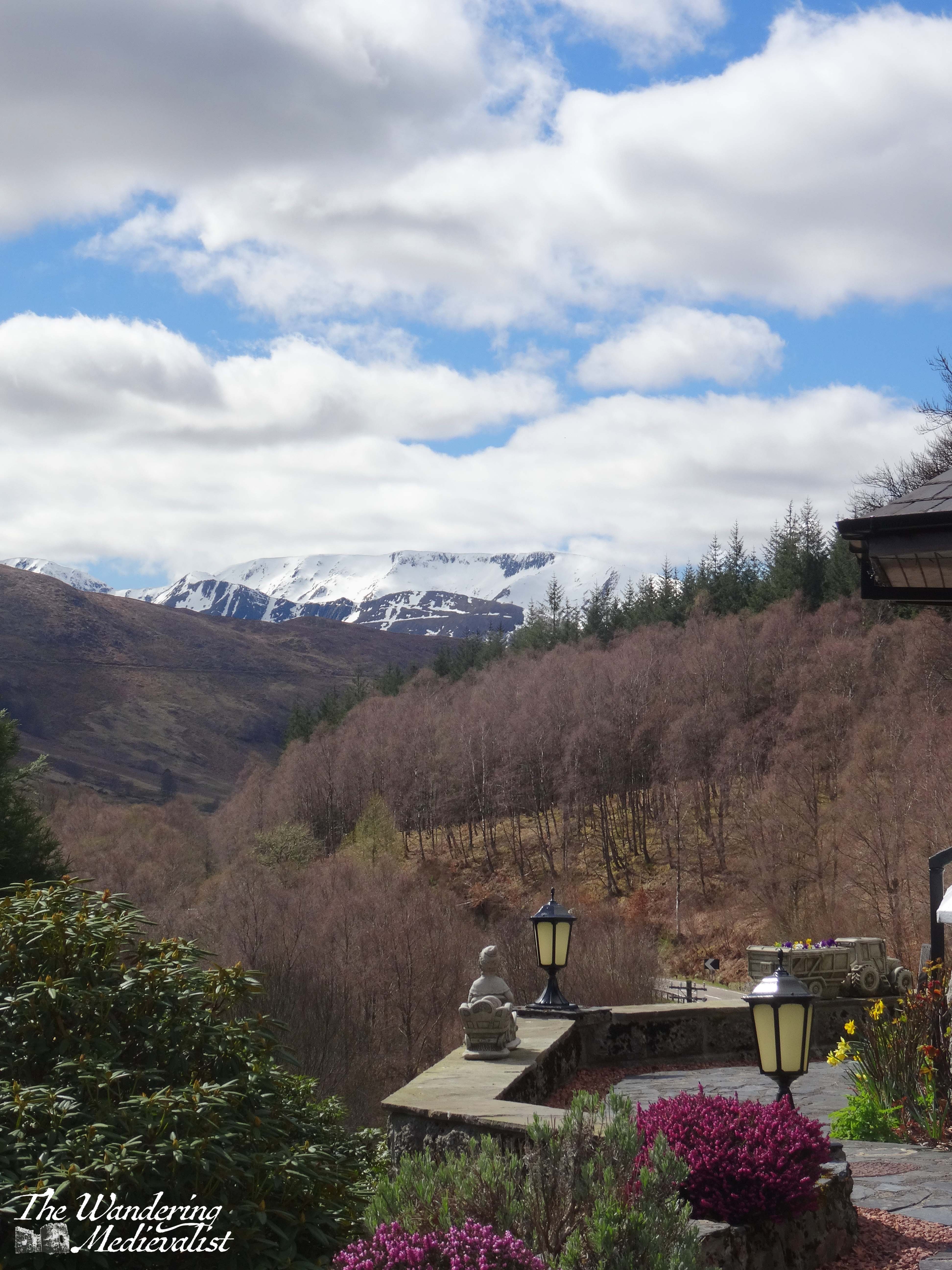
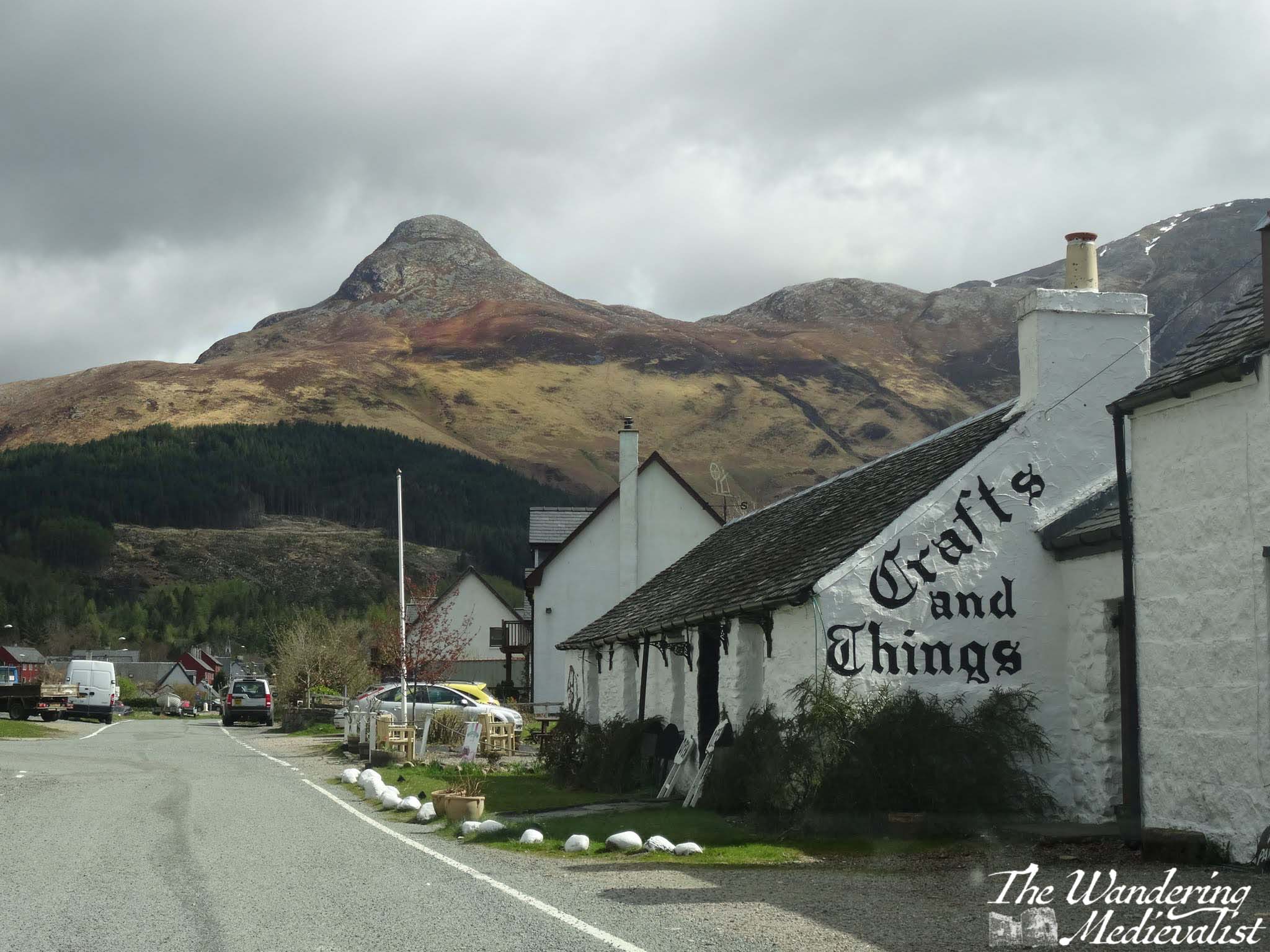
Almost as soon as you turn you will be heading immediately for a distinctive sharp peak called the Pap of Glencoe, and beyond it ridges of mountains leading east. On our first ever long weekend away together, the other half and I found a deal at the Isles of Glencoe Hotel in Ballachulish, which sits on a promontory in the loch. The views are just spectacular, especially at sunset. If you can, pull over at the parking area along the loch just after the hotel, or even turn into the village and get a coffee or snack at Crafts and Things. It was more than 10 years ago that we visited, but the other half still fondly remembers sitting in the April sun, looking over the loch with a cuppa and a tiffin.
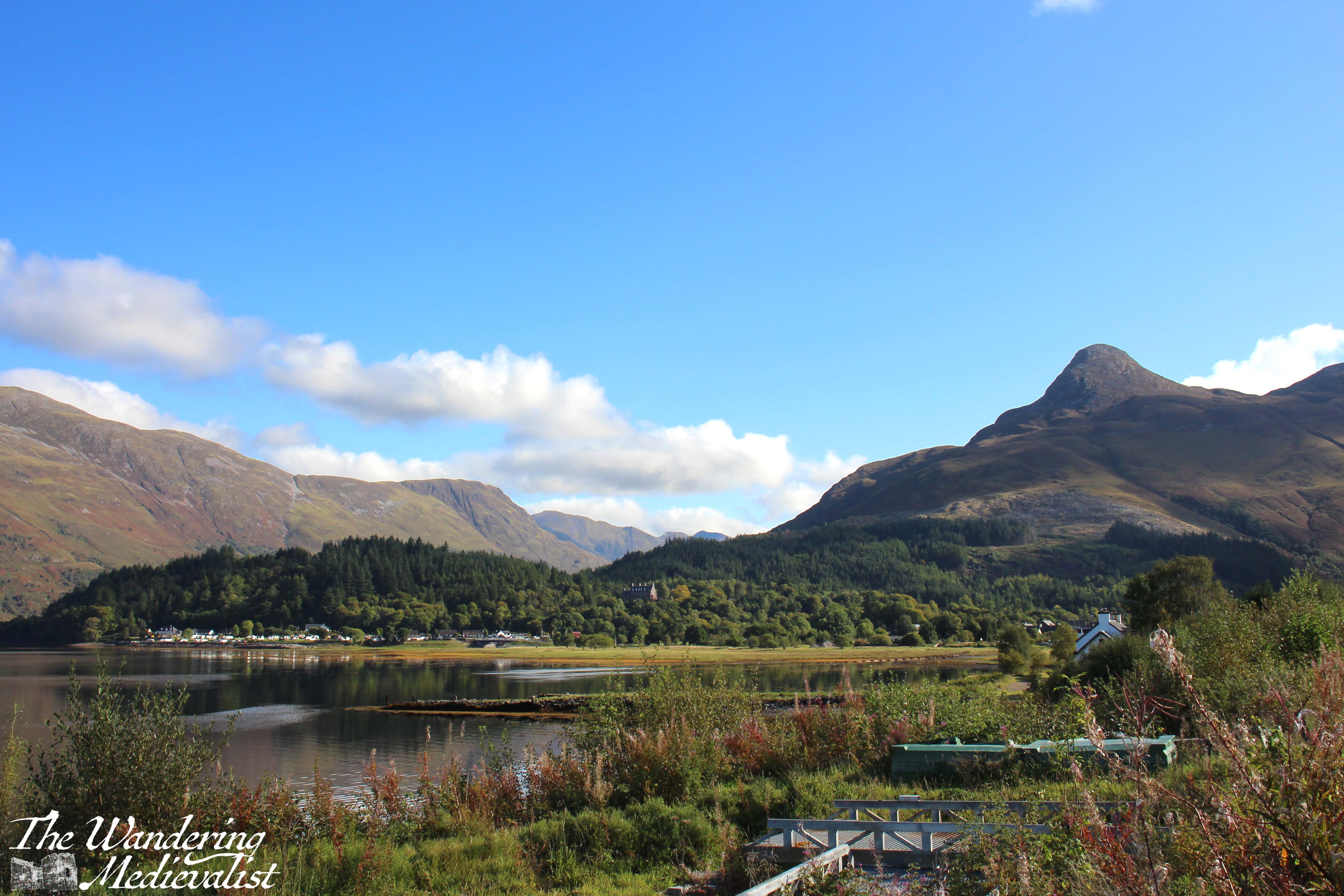
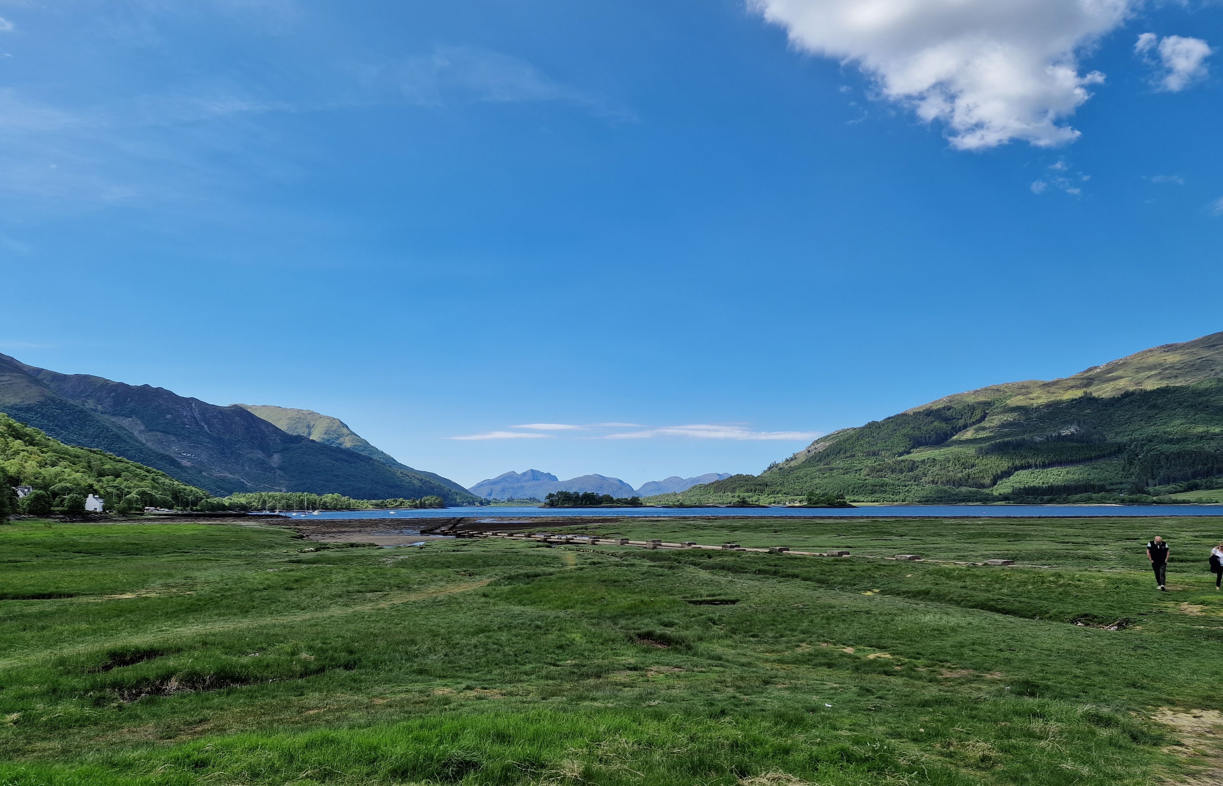
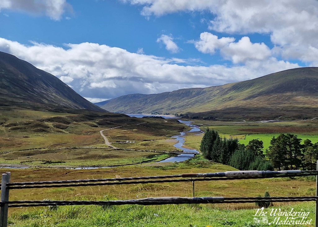
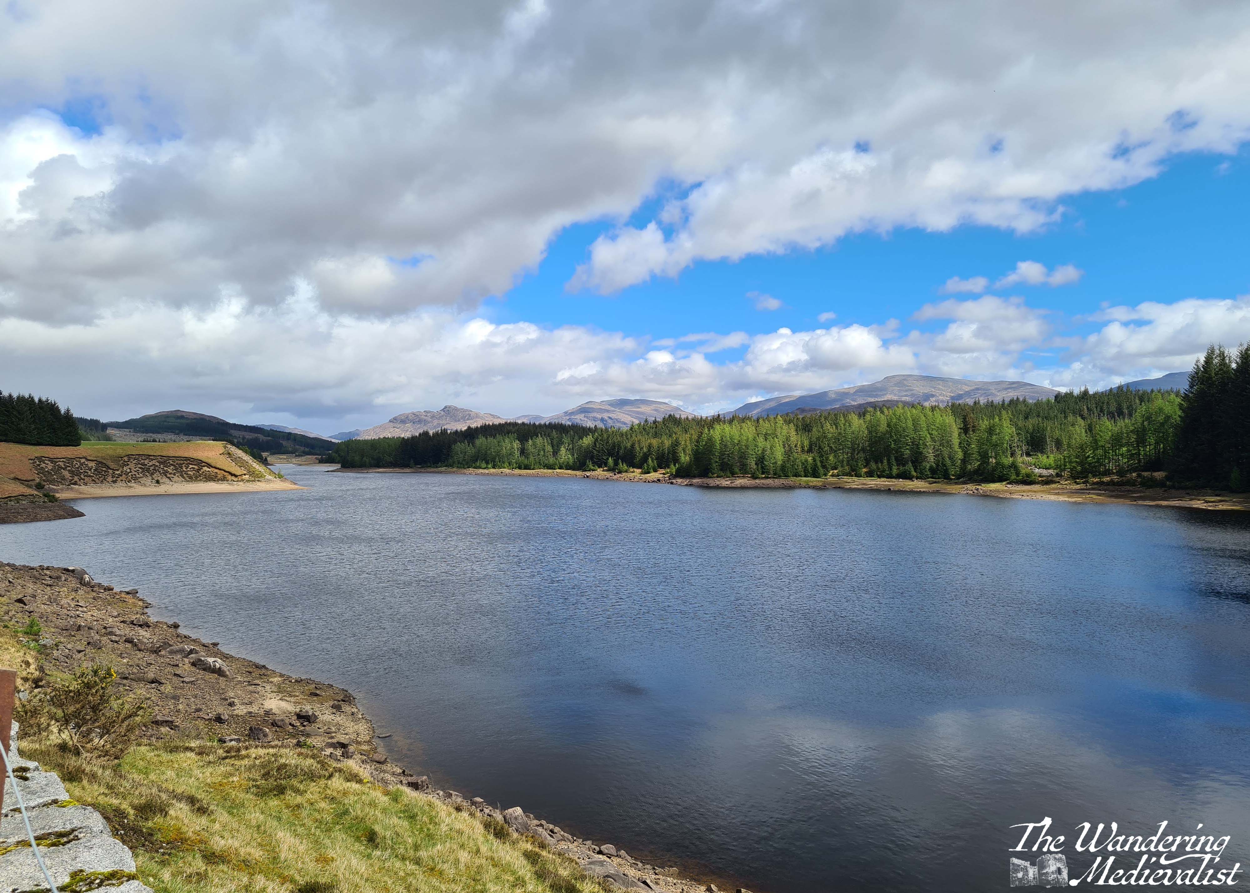
You can also take a quick detour left into the Loch Leven viewpoint (above), which as it suggests provides a view down the loch towards the bridge, at this point obscured by islands. Mountains rise in the distance and give you a preview of what is to come. This is also the route to the Glencoe Lochan walks.
Part 3: Ballachulish to Loch Achtriochtan – 5.5 miles
After Ballachulish the road turns inland away from the loch, and enters Glen Coe proper. Only 2 miles along on the right is the Glencoe Visitor Centre, where you can learn about the region and the famous massacre of 1692.
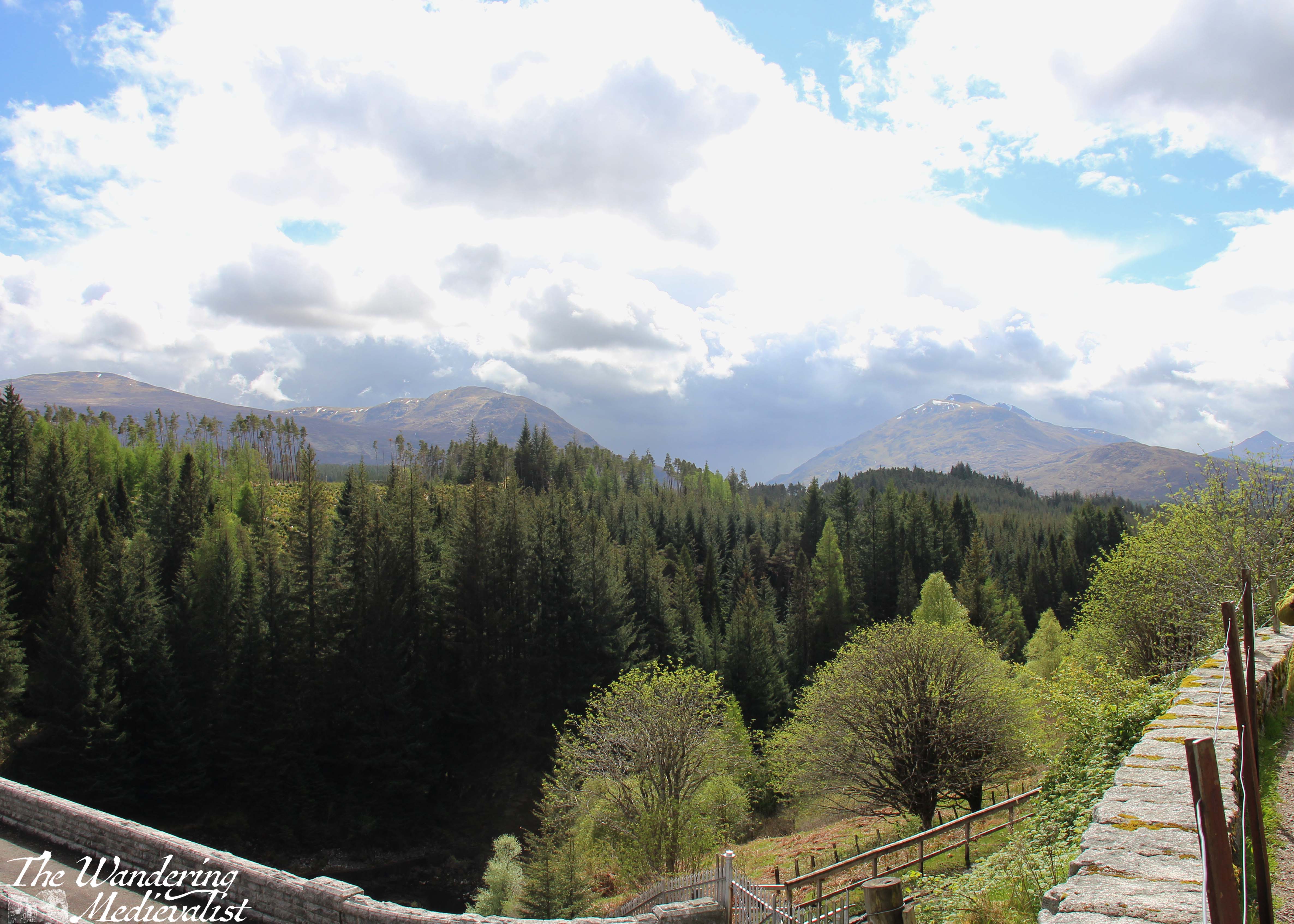
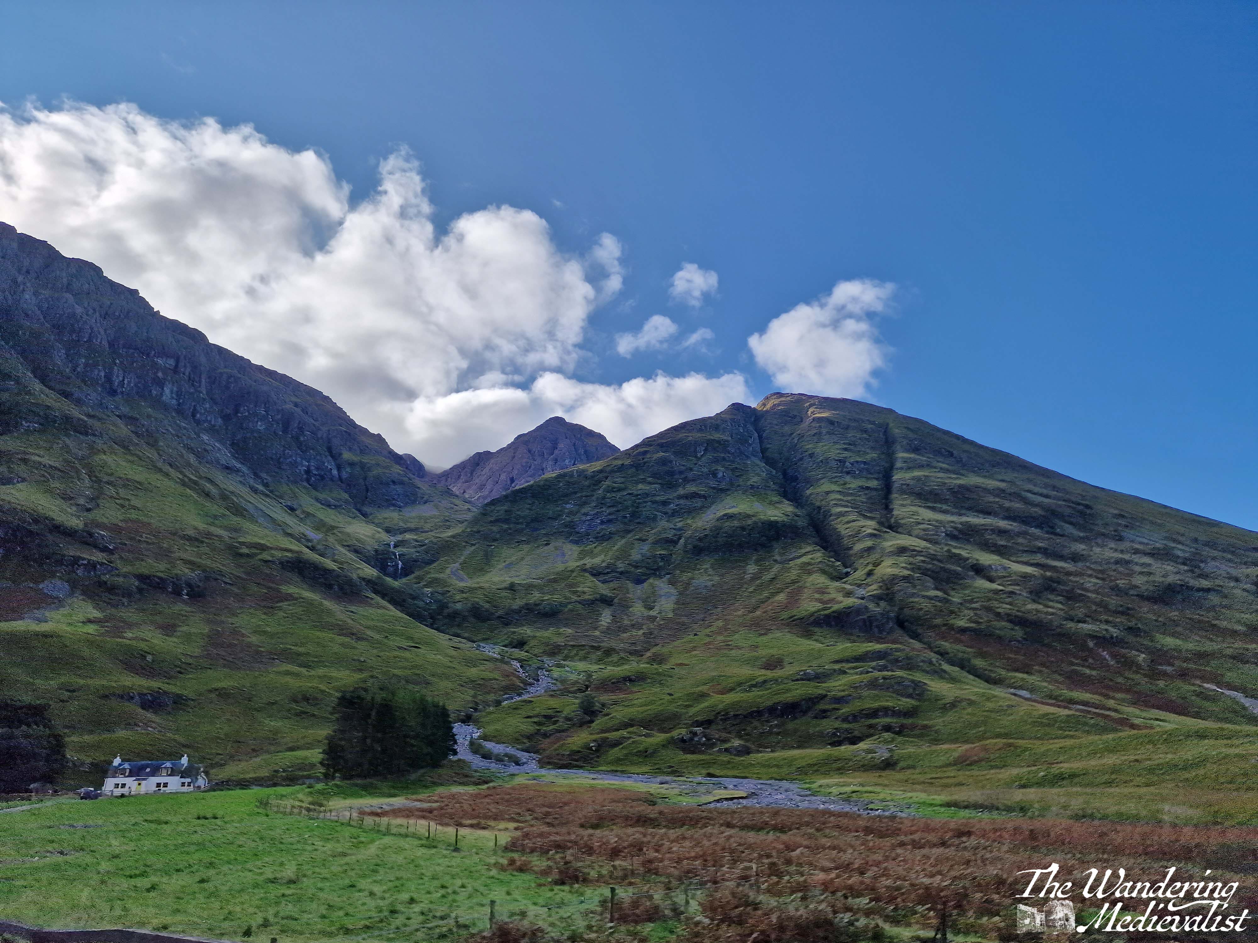
Mountains are rising on both sides of the road and ahead, often a combination of brown-grey scree and stone with lighter green patches of heather and ferns, and darker green foliage. The road here is in relatively good shape with a few potholes, and many drivers slow down both due to the sharp turns and the views. Enjoy the width of the lane while you can!
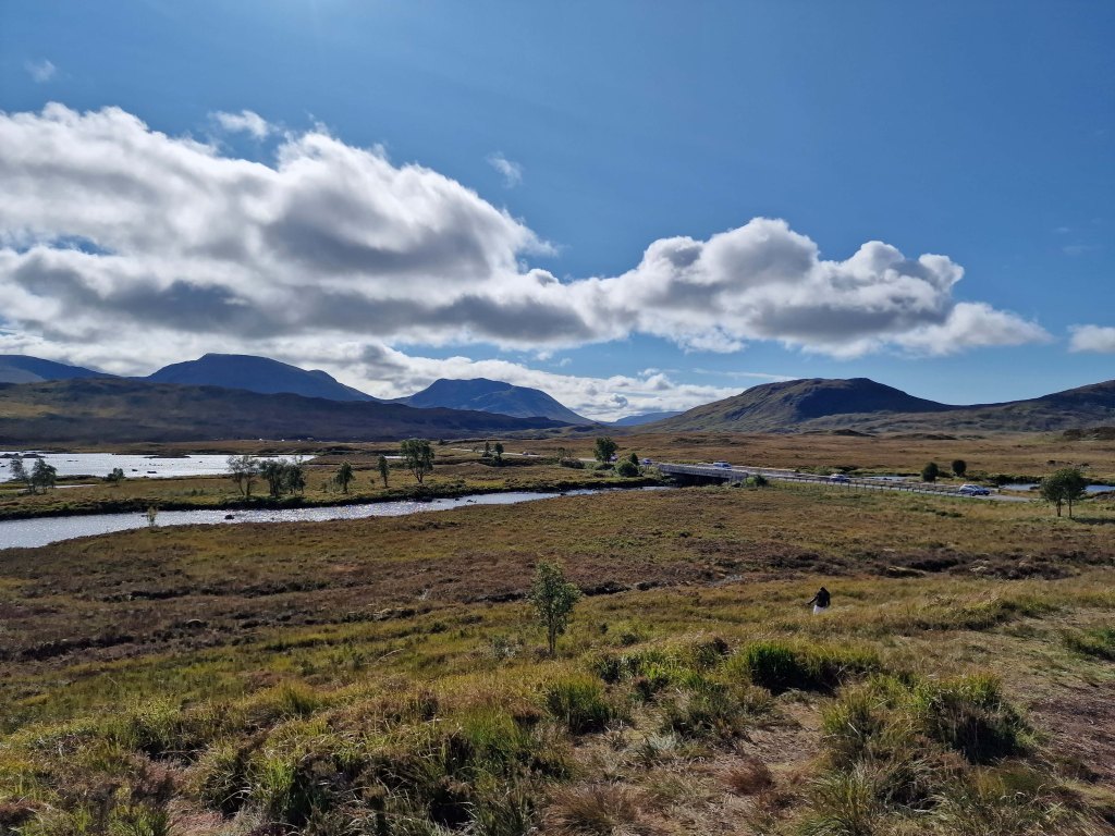
Another mile or so south, the road swings more sharply east to continue along the glen. Ahead of you the A82 stretches along the valley and then begins to climb, and ahead to the right is Loch Achtriochtan.
It can be a very busy and treacherous stretch of road, with drivers going faster than they should and plenty of tour busses and caravans, so I recommend pulling into the Loch Achtriochtan car park. Here you can either pause at the bridge, or cross to make friends with some sheep and approach the waterside. This spot allows you to capture the gorgeous hillsides and loch.

There is also apparently a turn-off around here to view Hagrid’s hut from the Harry Potter films, though I have never done so.
Part 4: Loch Achtriochtan to the Three Sisters viewpoint – 2 miles
Once you have dragged yourself away form the the loch, it is two miles further to the pièce de résistance of this drive – the view of the Three Sisters of Glencoe. Until quite recently, there were several places you could turn off and you were often taking your life in your hands trying to park and find a safe place to get back onto the road. In the last year or two however they have built a proper car park – and another one for tour busses – to allow the many visitors to safely park and explore. There are a few parking spots slightly further up the road too, and there are paths leading down into the valley or up the hillsides.
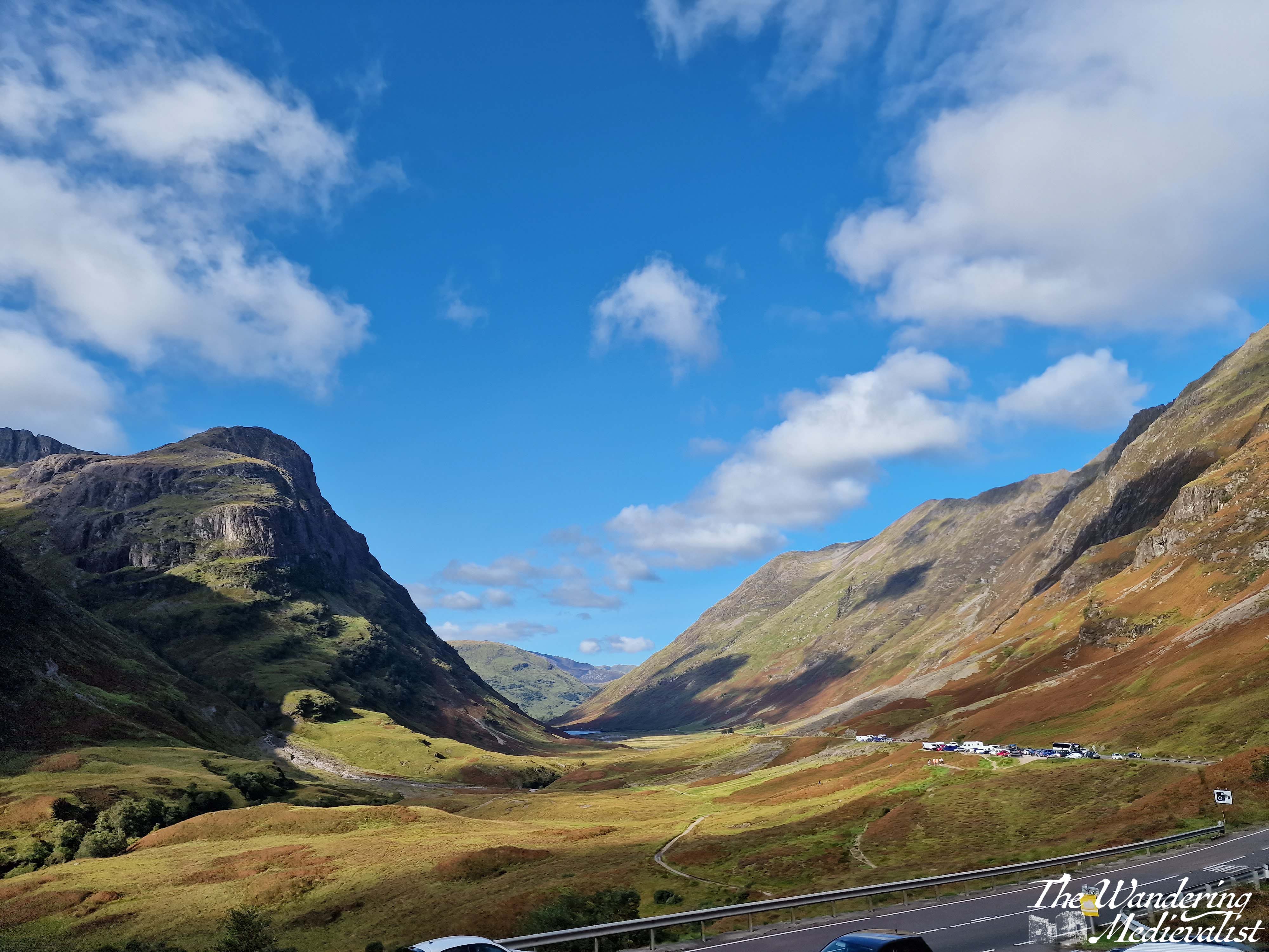
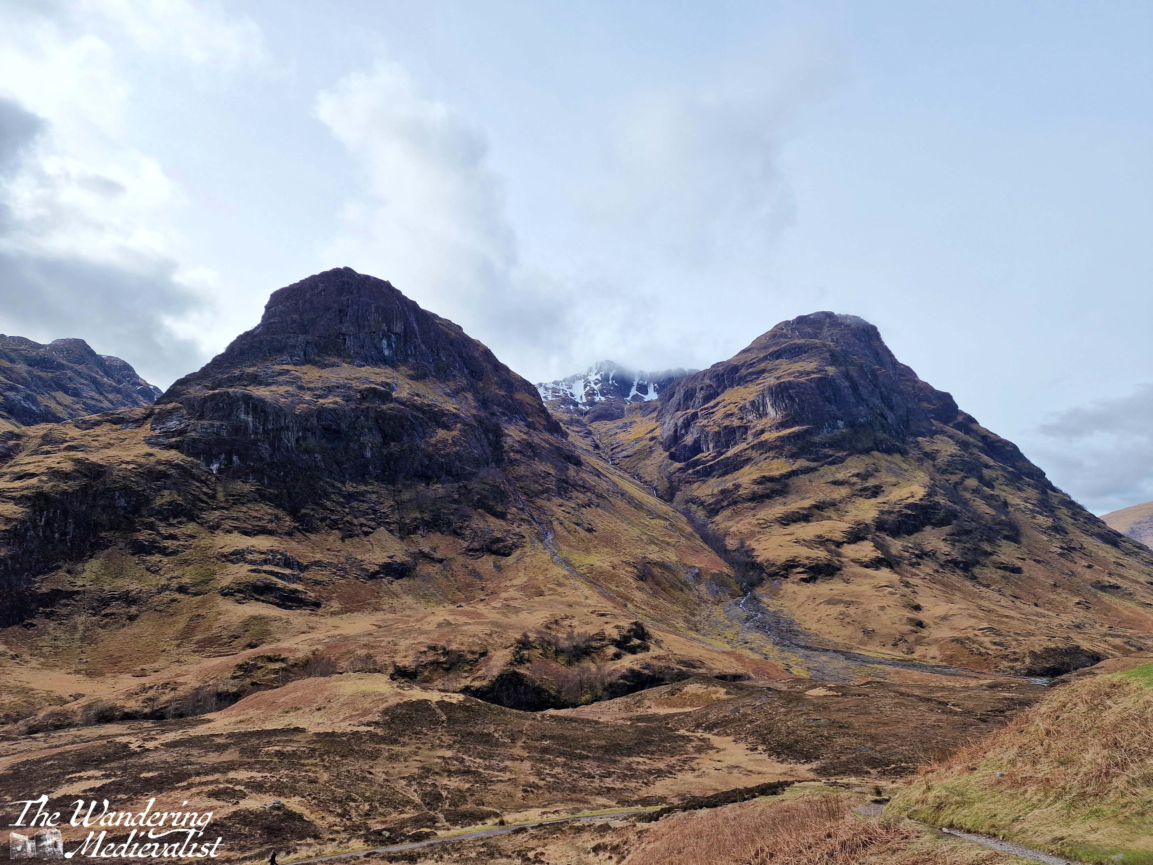
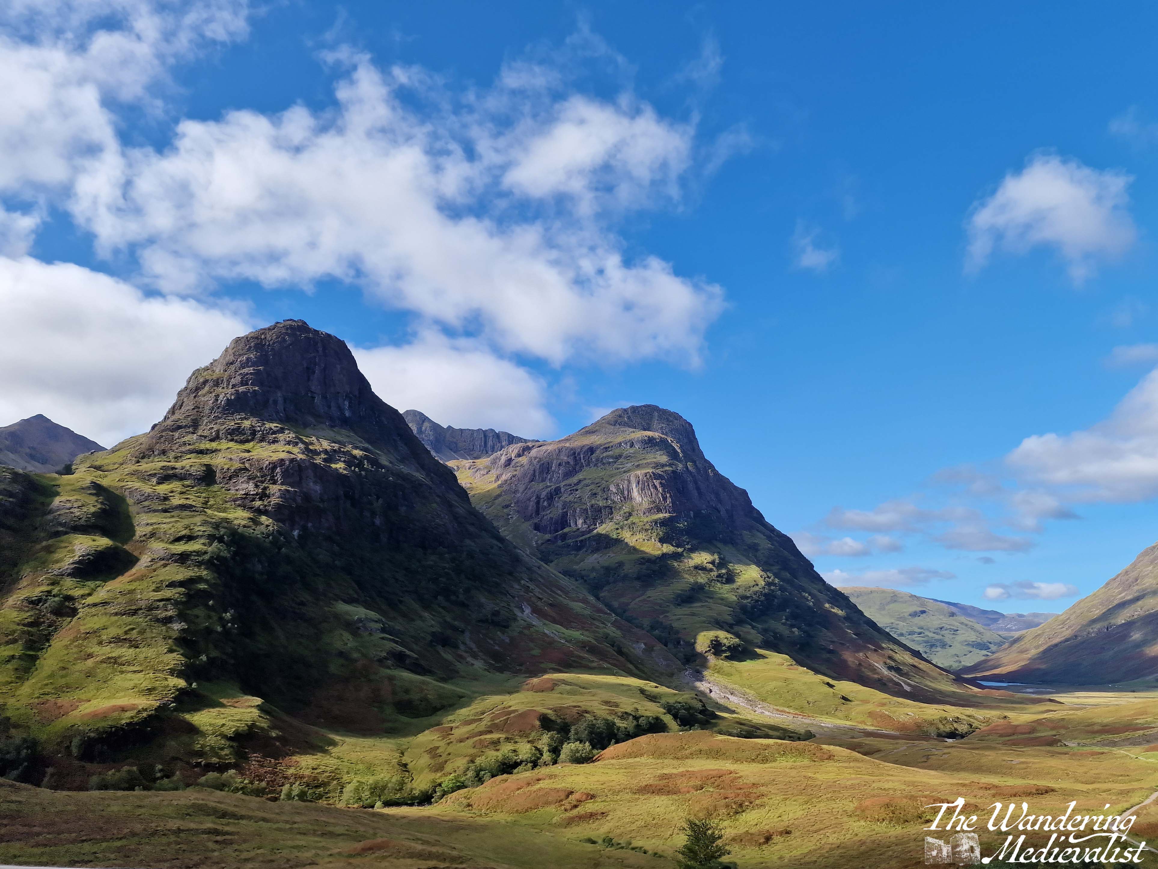
The Three Sisters of Glencoe is one of the most photographed spots in Scotland and only a visit need tell you why. I have countless pictures from different times of year and I can never decide which one I prefer. Some day soon I hope to do some of the walk down into the valley and across the bridge, though I know I do not have the fitness or skills needed to venture too much further up into the hills at this point. Aonach Eagach Car Park is another good option but often too busy to find a space. It is at the trailhead for the Lost Valley trail and provides a slightly different view of the valley.
Side note: if it seems at this point as if you are just driving a few miles and then stopping again, you’re not wrong, but I promise the stops are worth it. If you get bored, skip one! But if this is your only trip to Scotland, I’d take advantage of them all.
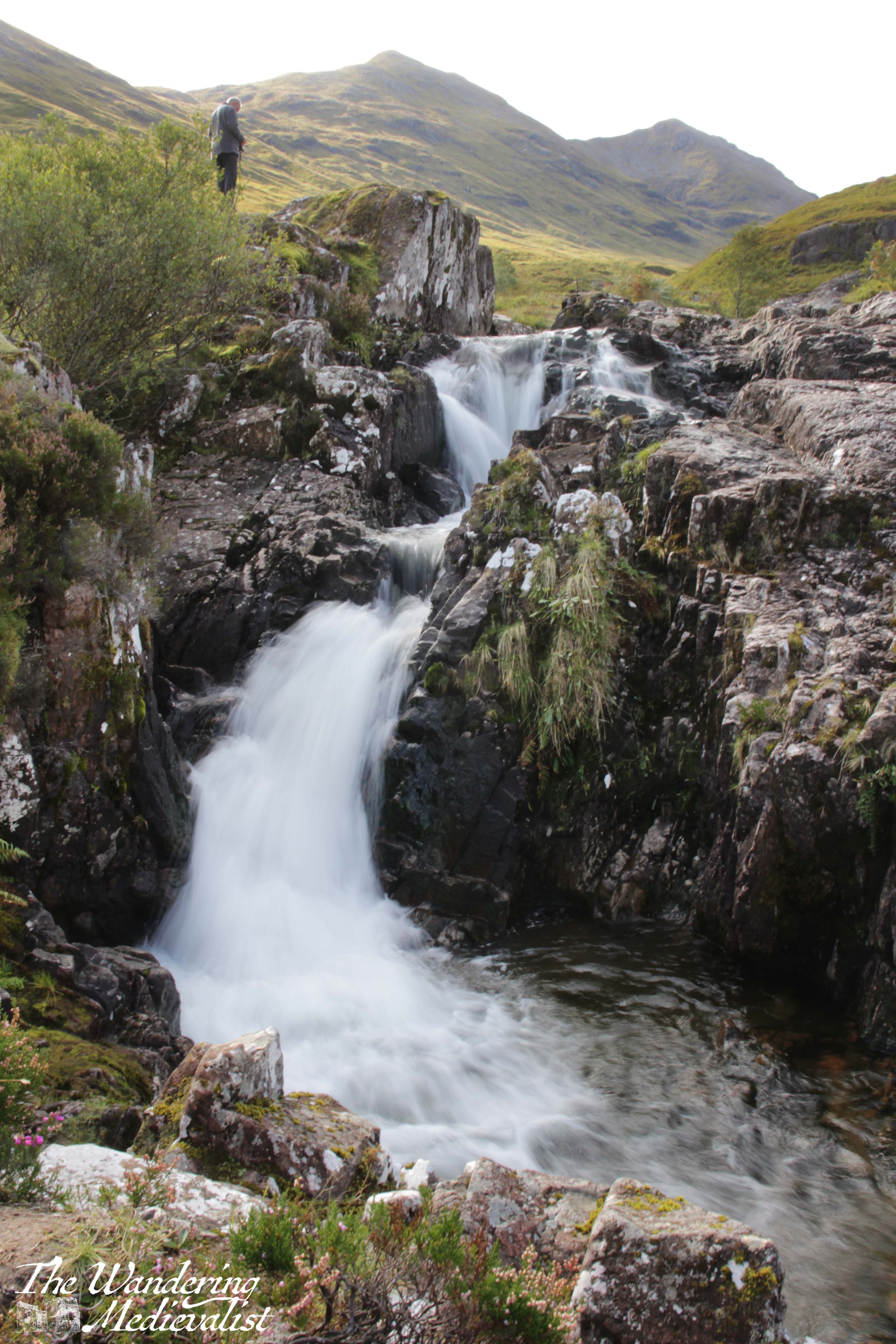
Part 5 – Three Sisters Viewpoint to Meeting of the Three Waters viewpoint – less than 1 mile
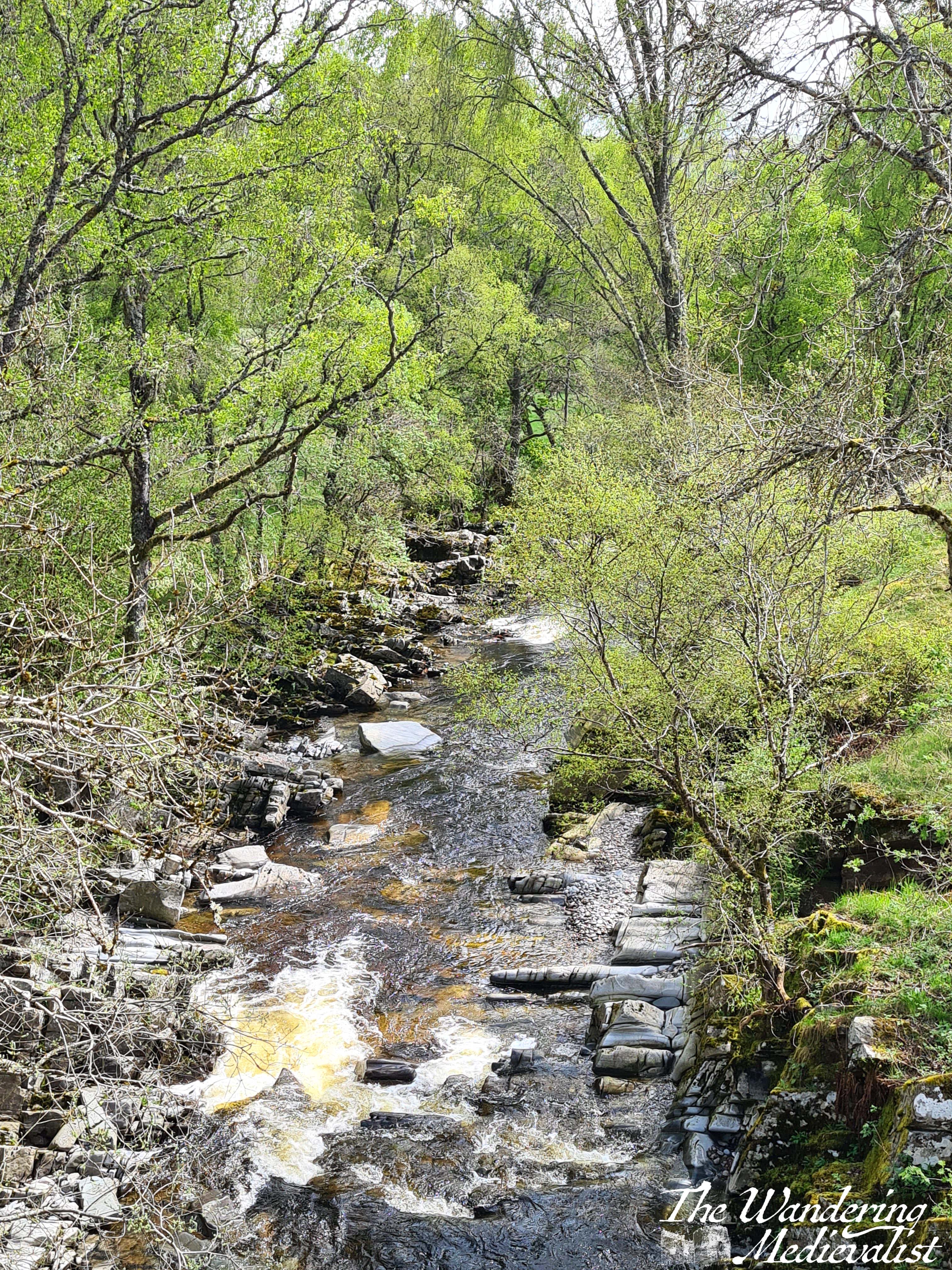
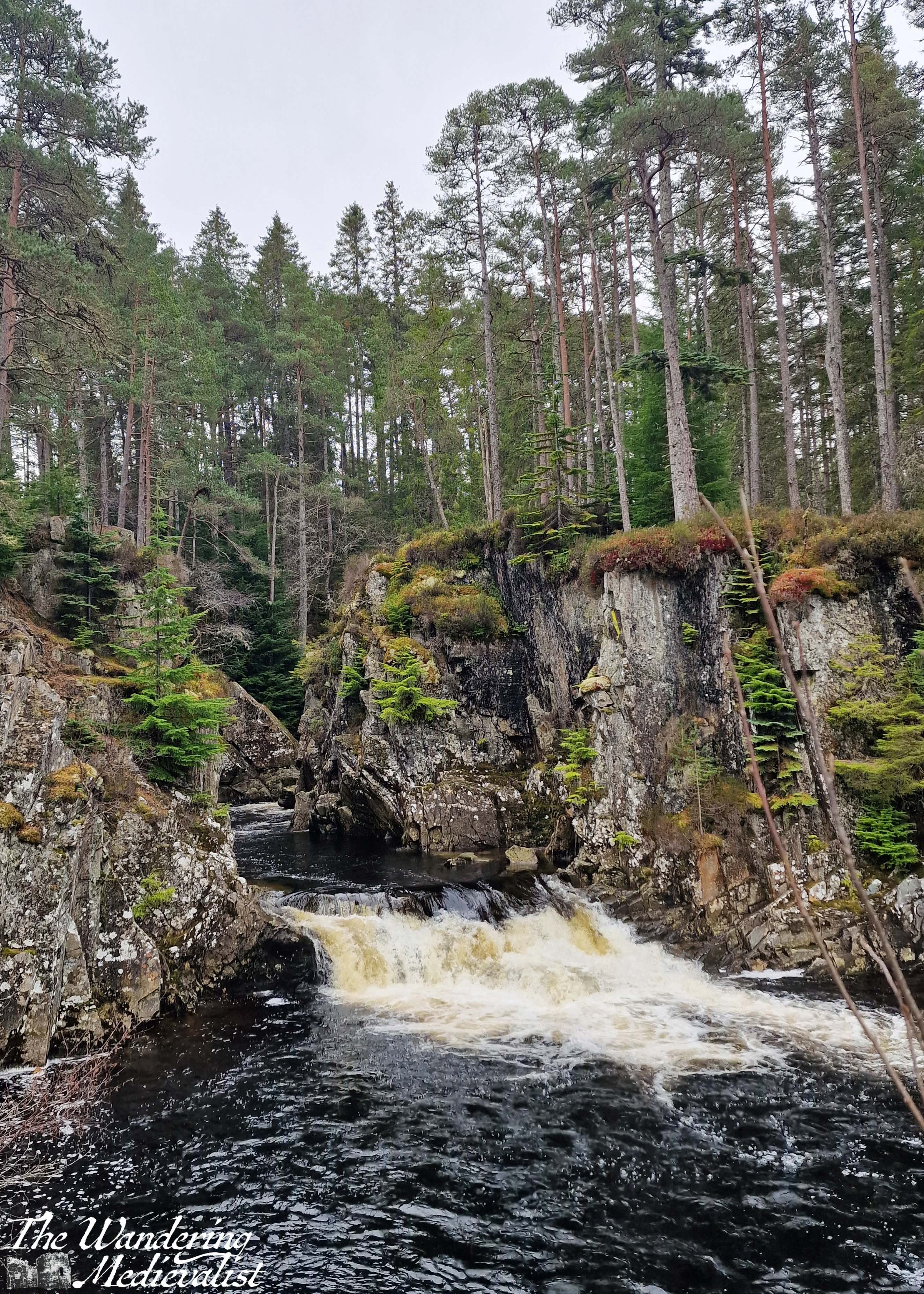
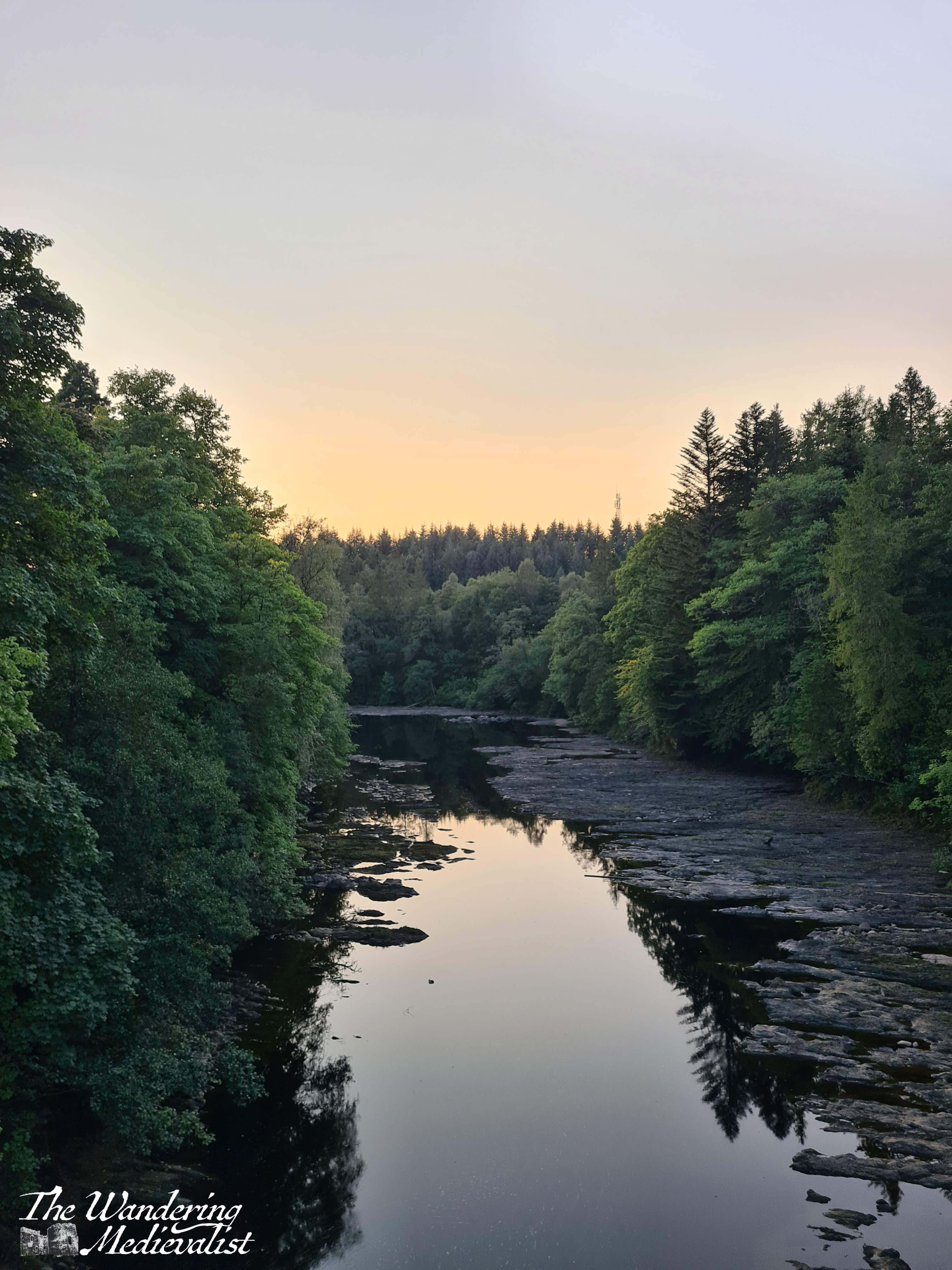
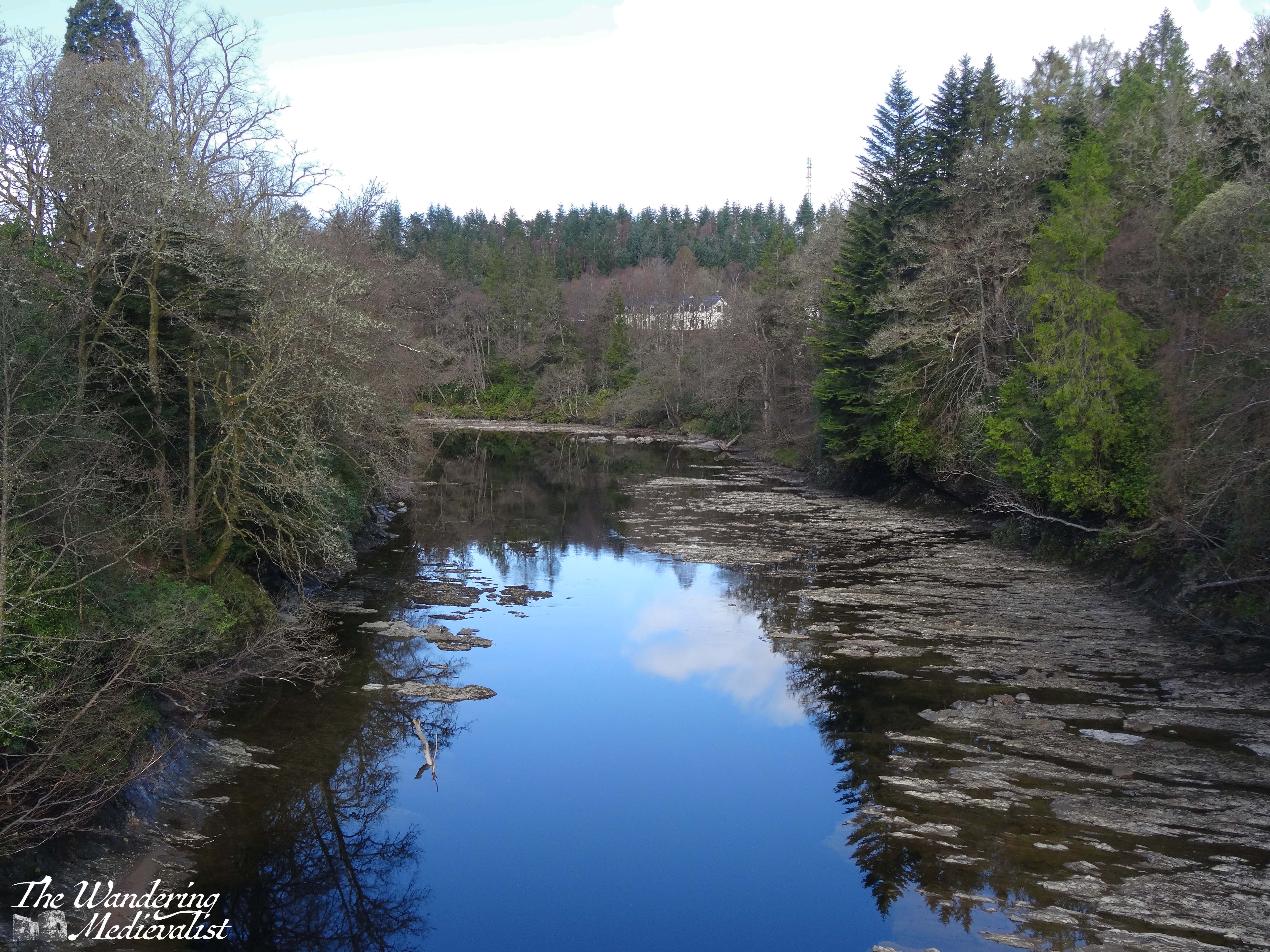
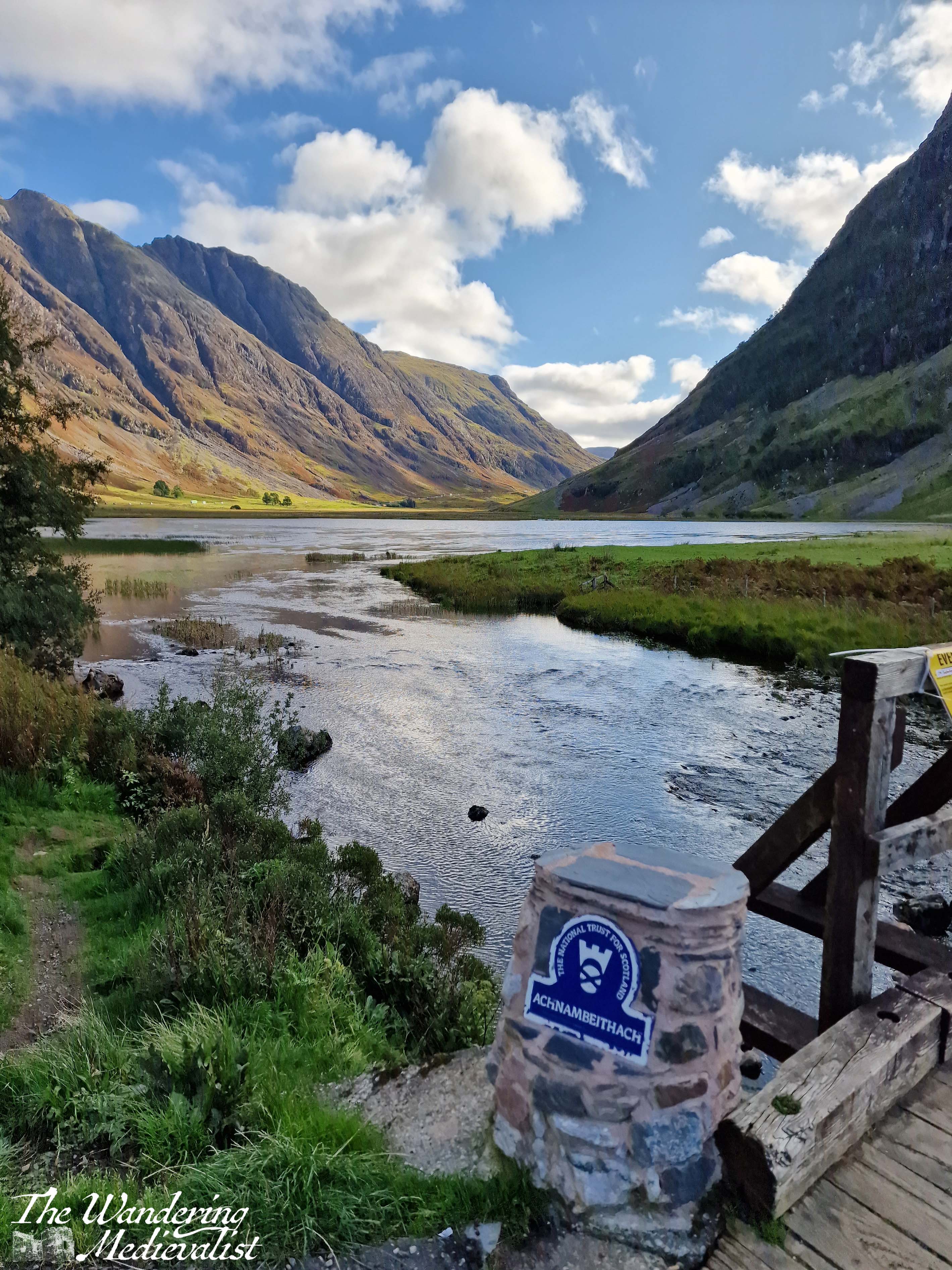
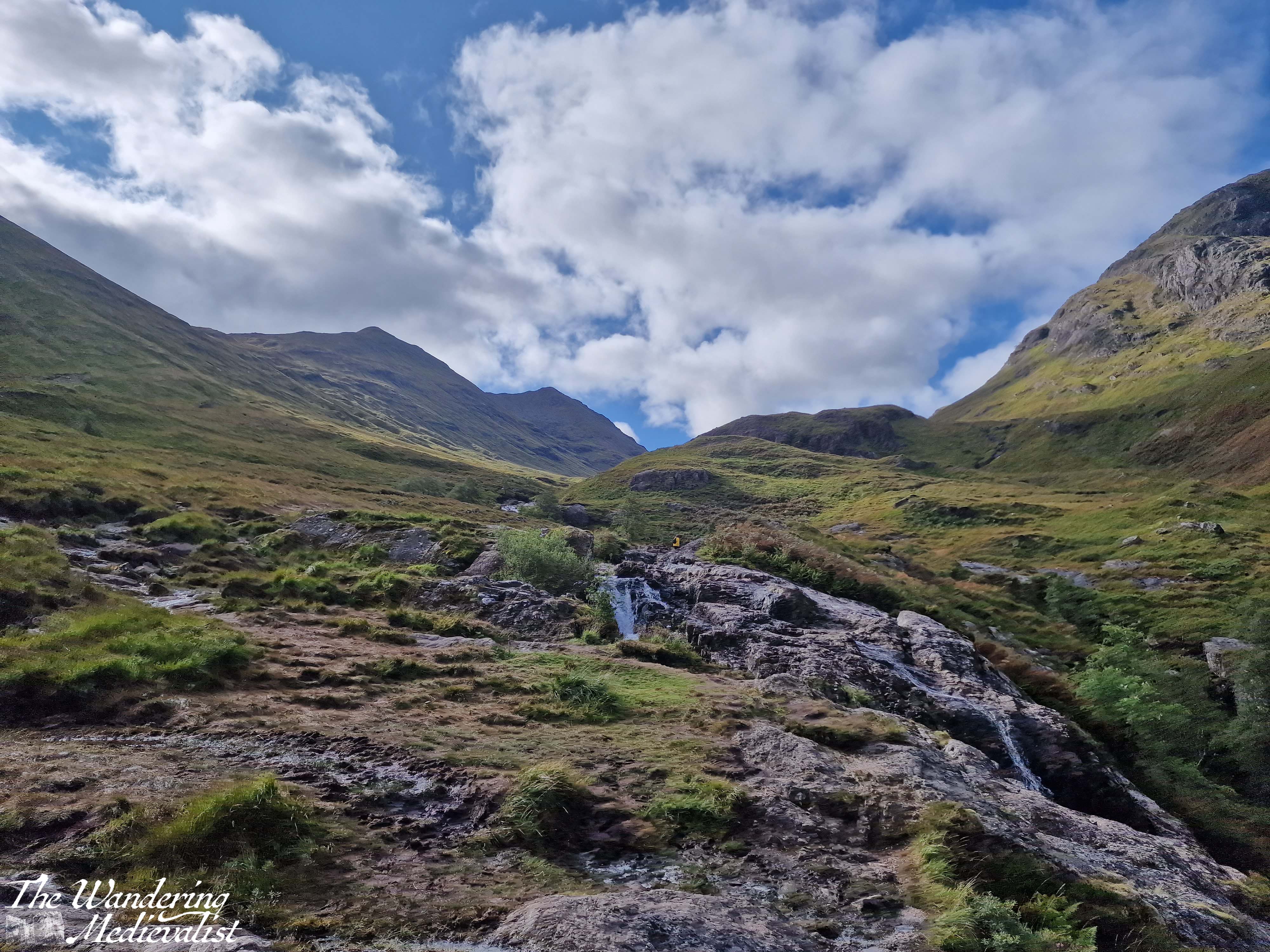
Yes, this is a short drive. I had passed it by many times before I made myself actually stop on one beautiful autumn day. The waters are, as it sounds, three separate rivers (Allt Coire Gabhail, Allt Doire-bheith and the River Coe) that meet here at a pool and series of waterfalls, before continuing down the glen towards the lochs.

There is a short climb from the car park that takes you up the rocks and over the waterfall, and the start of the climb is a bit ropey. But, once you have clambered up the hill, you reach a stunning viewpoint that shows you the newly built road, the falls, and the burn heading up into the mountains. There is a pool where I have seen people swimming – brave souls – and of course a trail that follows the burn. I dragged my octogenerian father up to see the view and I think even he was impressed. It is easy to see here the old military road, which was in modern times replaced by the route of the A82.
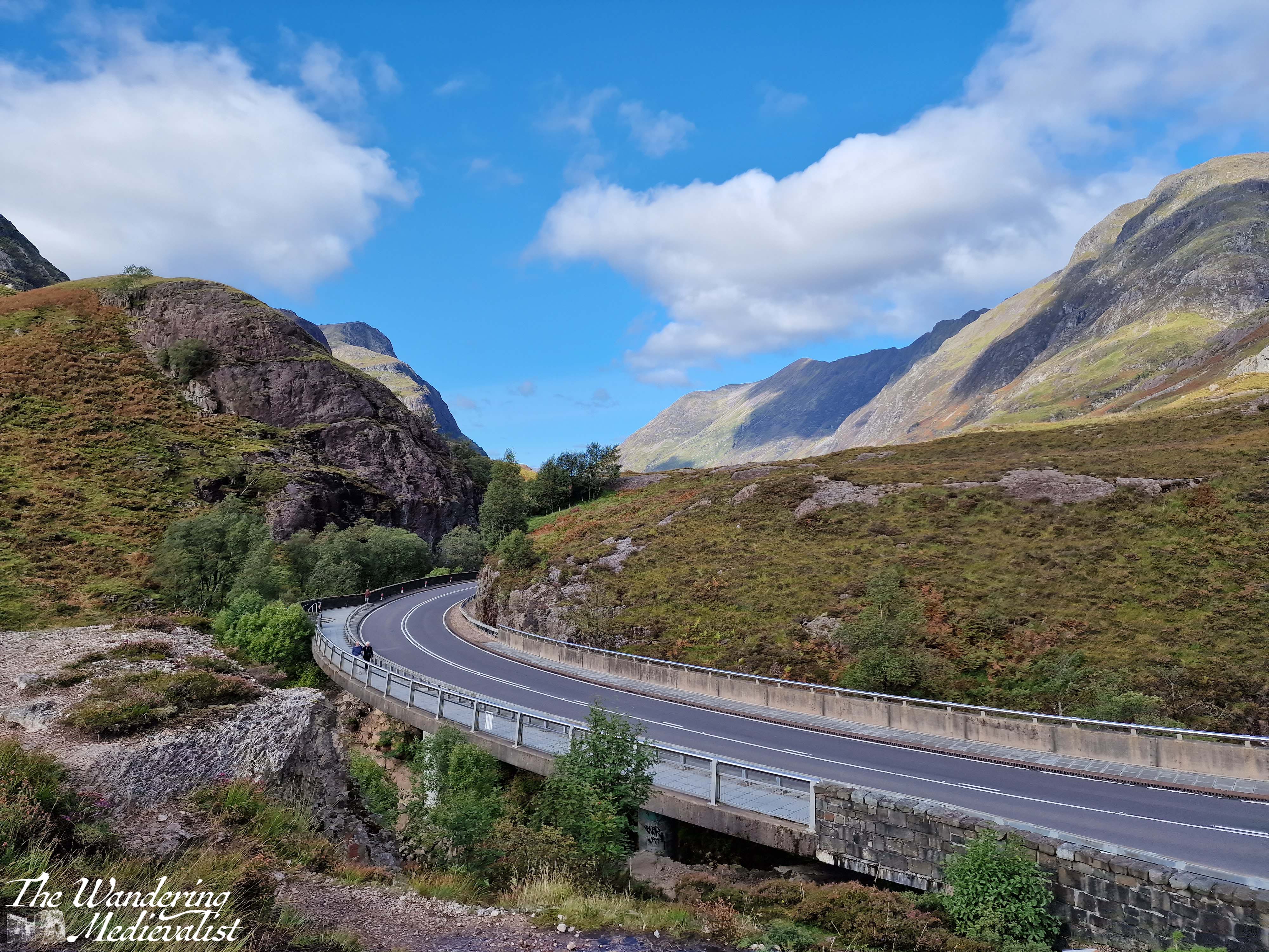
One point I should make is that in that .7 miles between the two spots, you are driving along a narrow road.
At one point, the highway cuts through the hillside, with solid rock towering on either side, and leaving very little room for error. Not that anyone would err…
It can be a bit harrowing even after several goes, so take it slow and easy.

It is very easy to miss the parking spot for the Meeting of the Three Waters
and this is not an easy place to turn around, so definitely use your Google/Applemaps or whatever Satnav system you prefer to warn you.
Part 6 – Meeting of the Three Waters to the Kingshouse Hotel – 5 miles
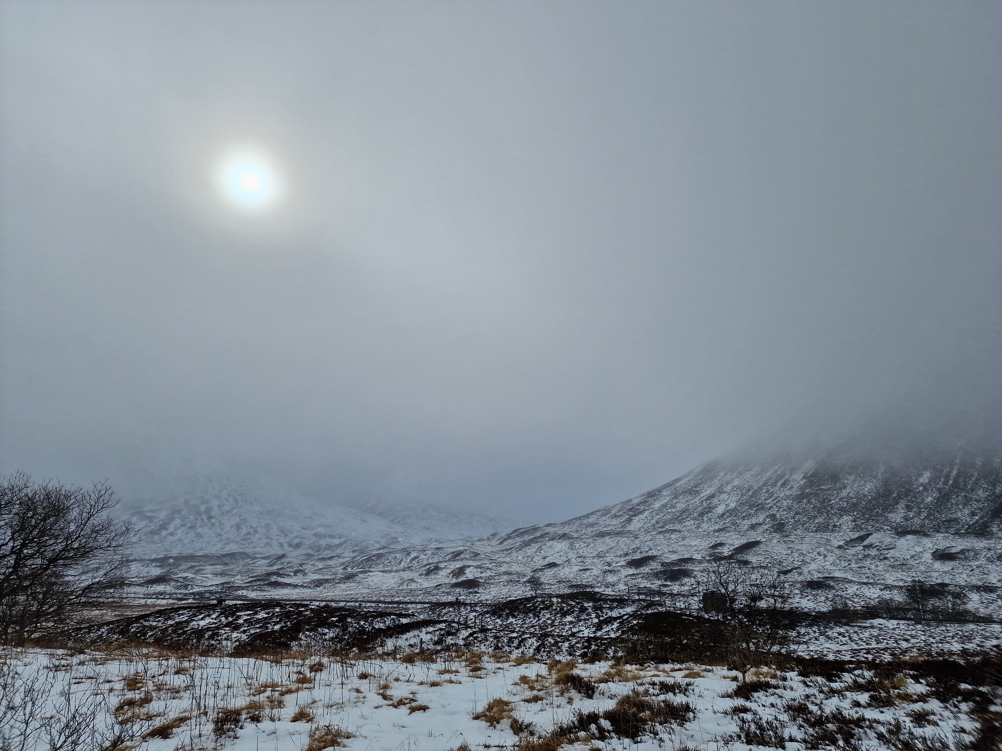
Beyond this parking spot are plenty more viewpoints and places where you can pull over, and it’s really about deciding how often you want to stop, and how busy they are. Sometimes there are so many cars parked in a small spot that you really cannot safely get off of the road. Once you have had your fill of waterfalls, you can make a bit of headway as the road opens up a bit with mountains on either side. Eventually the road will hug the edge of Rannoch Moor, and this is where in bad weather you can really start to feel the car being blown about.
The Kingshouse Hotel is a popular stopping place though they are strict about people coming in just for the view. I would love to stay and know friends who were married here during the pandemic – this area is famous for the amazing views of the mountain, Buachaille Etive Mór. You can also take a detour here and drive part of the way down Loch Etive, though as yet I have not done so. Some trip, one day!
Part 7 – Kingshouse Hotel to the Loch Ba viewpoint – 5 miles
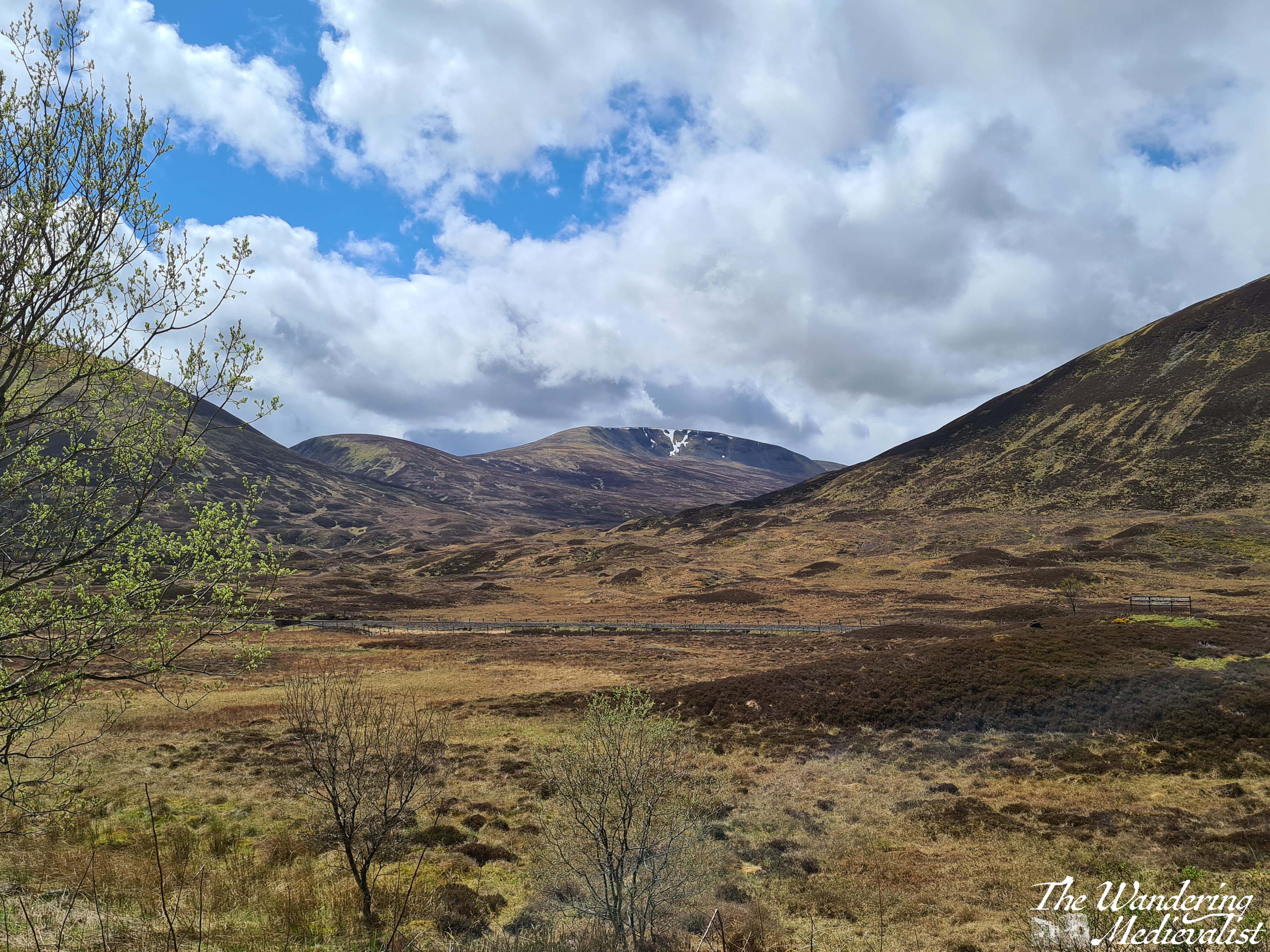
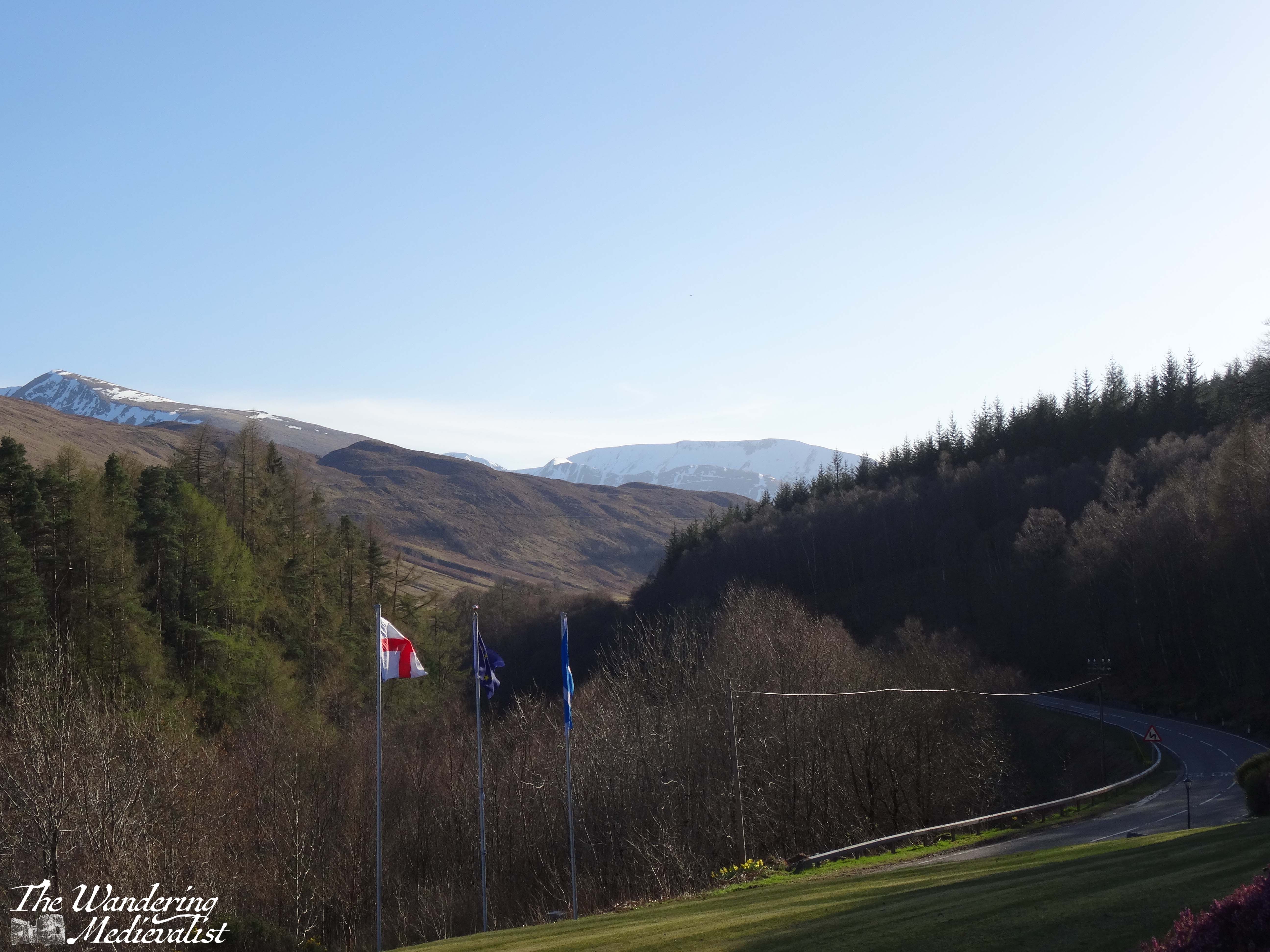
Just after the hotel you will pass the turn-off to the Glencoe Ski resort – the trails are evident – and the mountains stay a bit closer on the right though they start to fall away on the left, as the moor creeps closer. This is quintessential Scotland, in my mind – boggy moor with mountains in the distance, countless little burns falling over rocks and carving their way down from hills and across the landscape. Rocks poke through either on their own or in clusters and chunks, covered in lichen and reminding one just how thin the soil is here. There are a few lone trees, but most of the landscape is relatively barren.
The final place that I cannot resist stopping is the Loch Ba viewpoint. There is usually plenty of space to pull over, and it is easy to see coming due to the lump of land that marks the view. Climbing this short hillock allows for 360 views, though it is the one almost due east that I love the most – glistening loch with plenty of small islands, leading away into the wilderness.
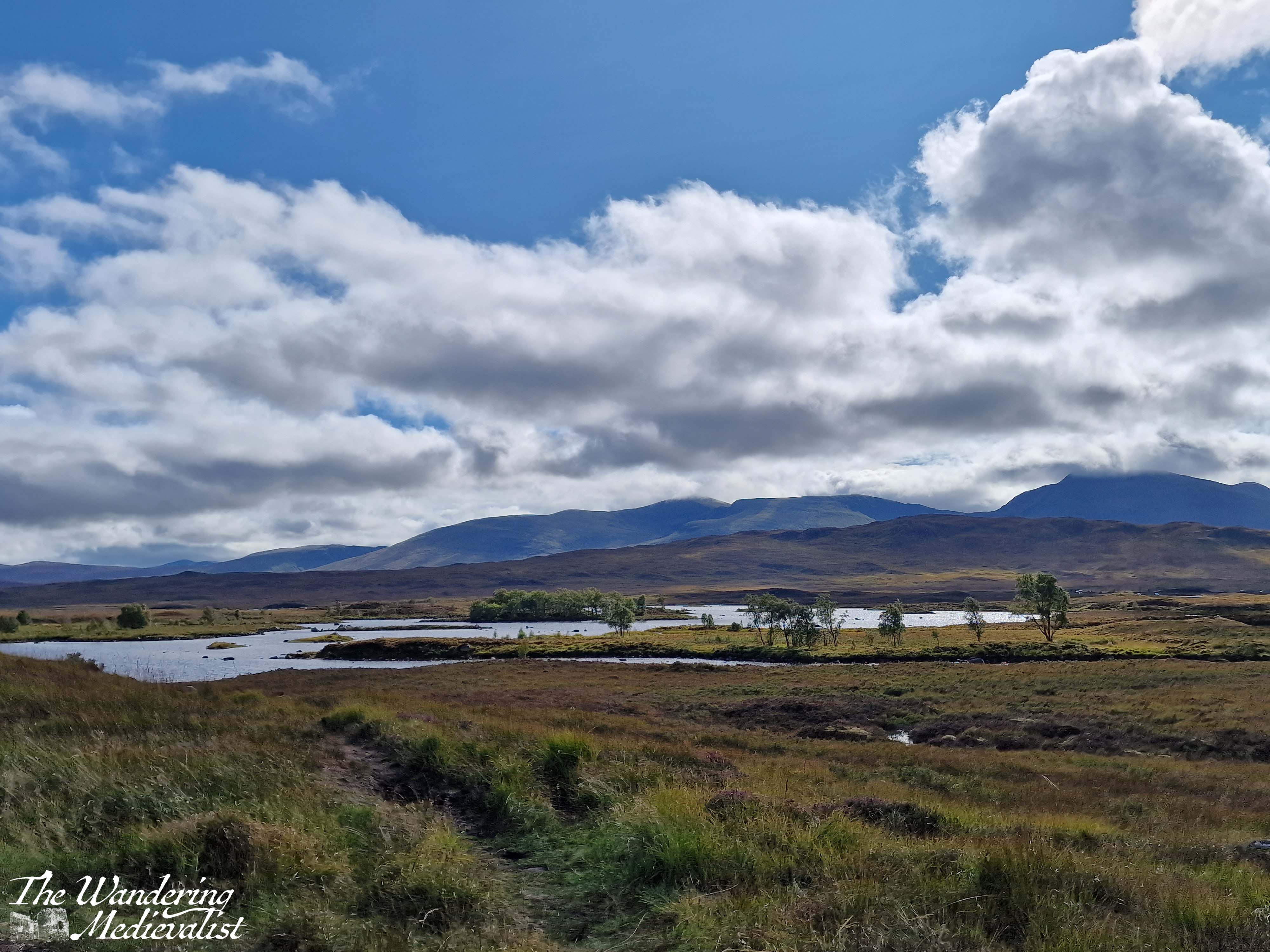
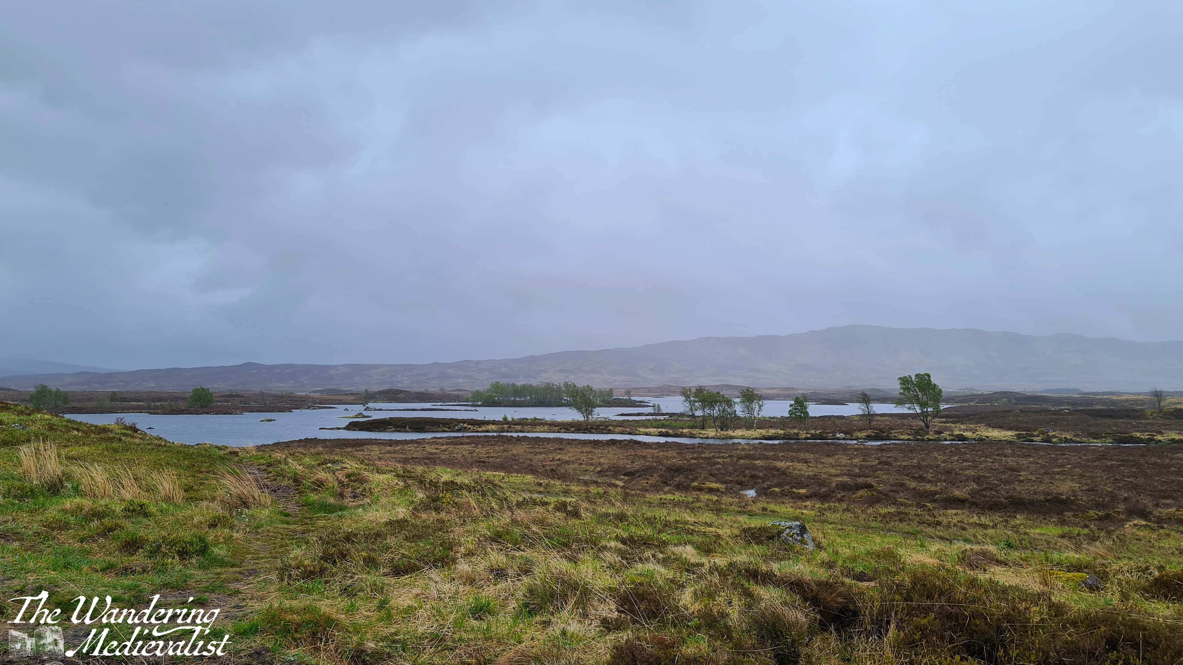
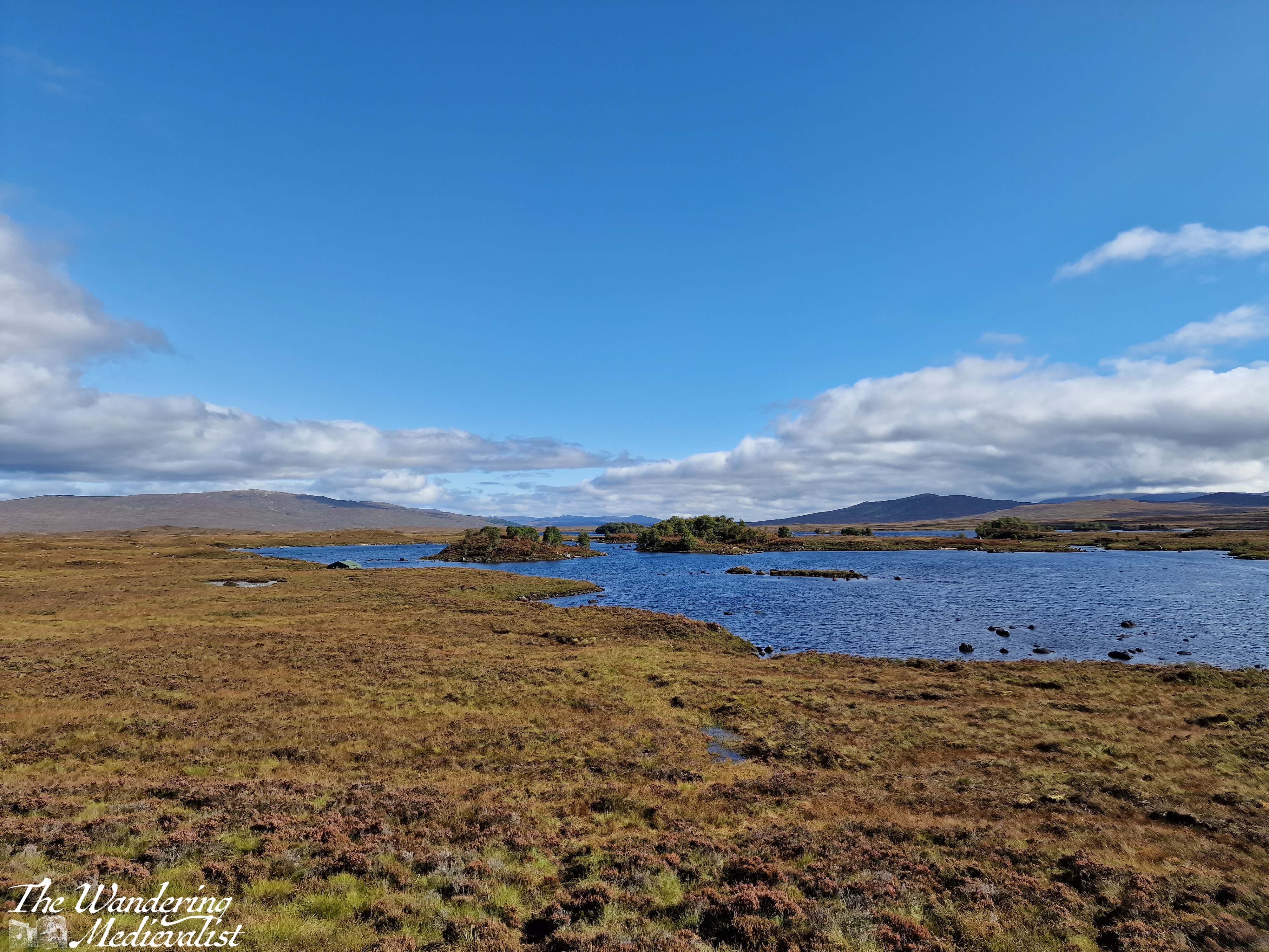
Behind you are the peaks of Glencoe, and ahead just the road, leading towards the next hills in the distance. I can understand why some might assess it as stark, but I think it is gorgeous.
Part 8 – Loch Ba viewpoint to Crianlarich – 19 miles
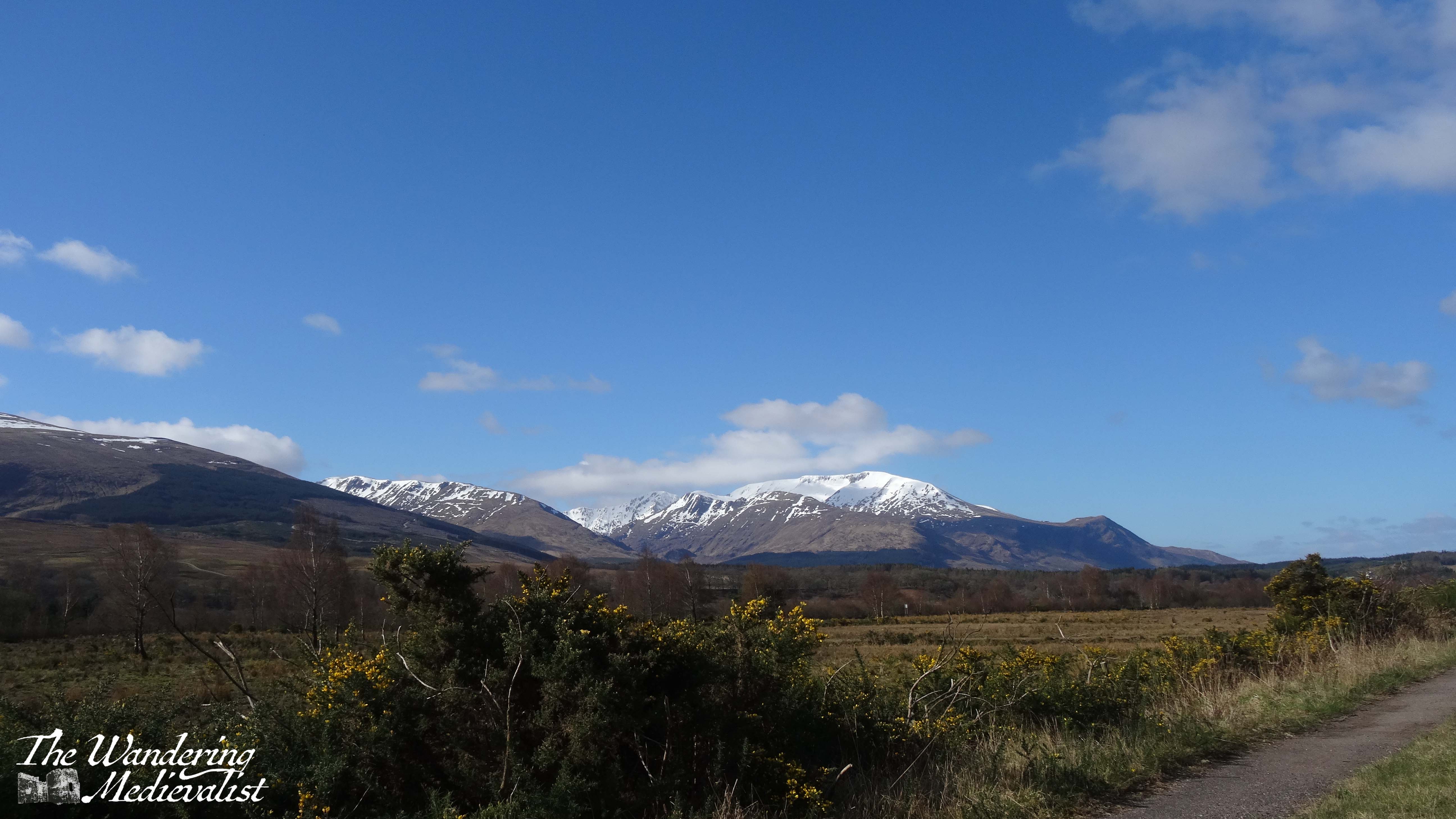
About three miles beyond the Loch Ba viewpoint, you realise how high the road still is when it suddenly, dramatically, begins to fall. There is a sharp descent through an s-bend that can challenge lorries and busses coming the other direction, though there is also a large parking area to pull over in if needed. From here, the road is a bit less dramatic though still stunning, crossing the Loch Tulla bridge and winding its way across the valley floor before climbing again.
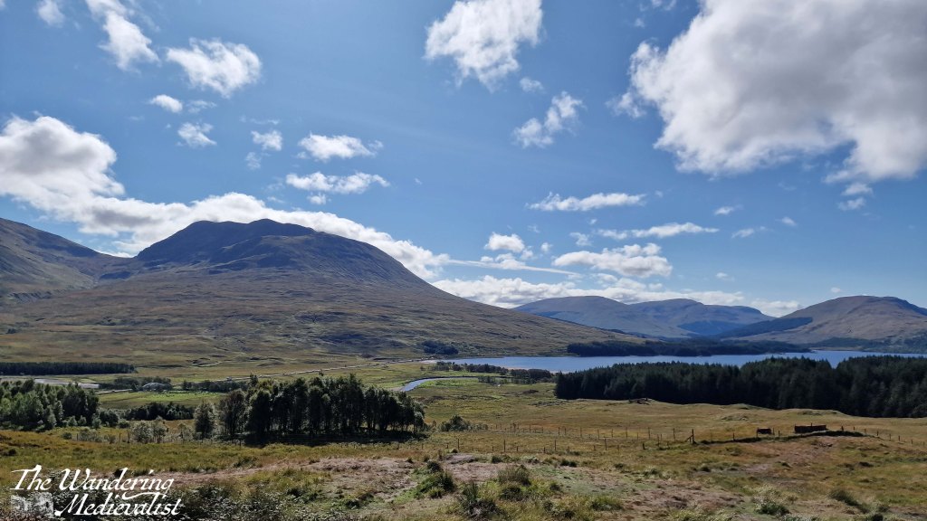
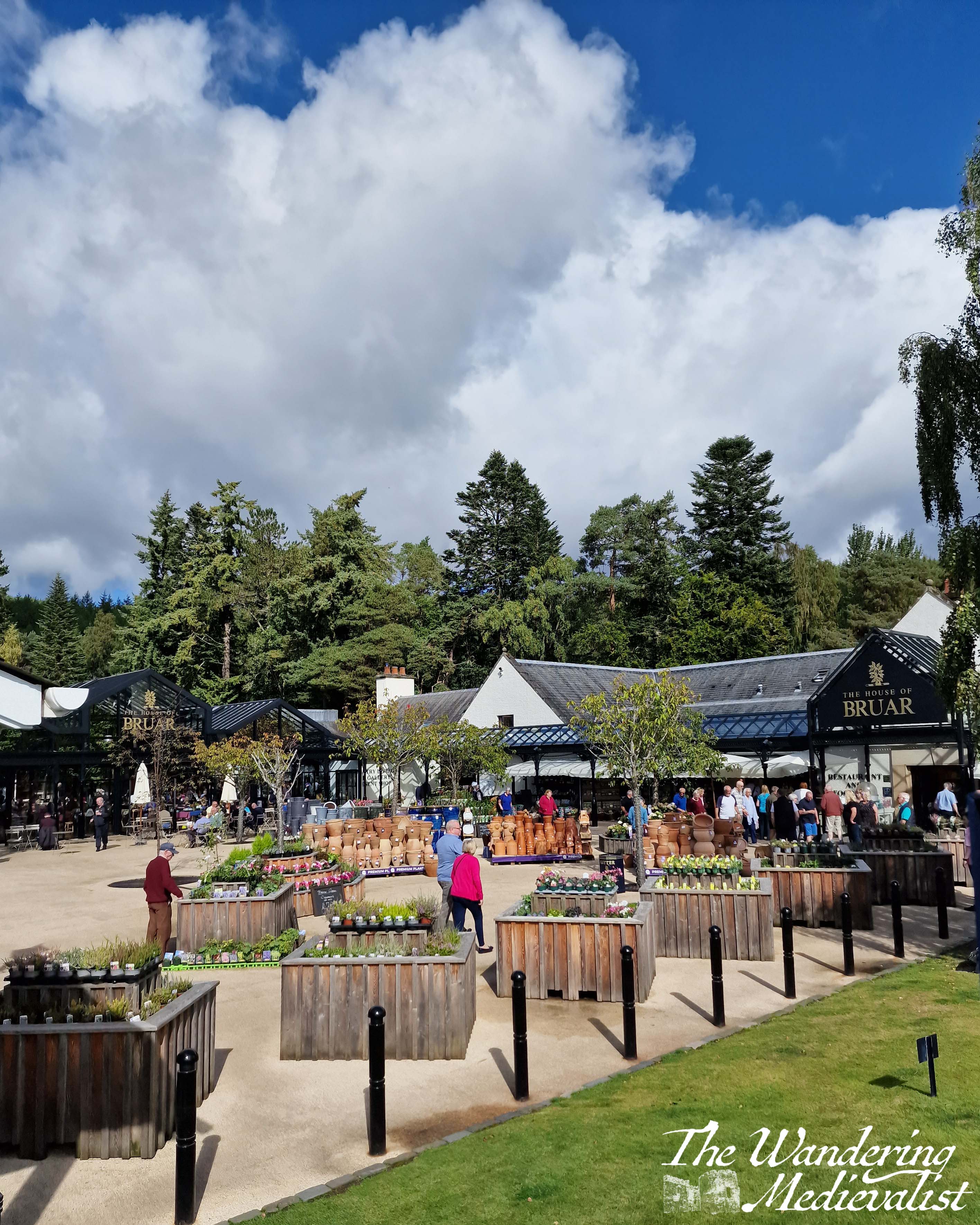
One of your last views of the lochs and lowland of the edge of the moor comes at the far side of Loch Tulla, where there is a small parking area, but the views are better in person than in pictures. From here, the A82 is heading almost due south, passing through a number of villages and meeting up with the rail line that runs from Glasgow to Fort William. Bridge of Orchy and Tyndrum stand out as the two larger towns, with Tyndrum in particular possessing several hotels, petrol stations – if you can get in – and the Green Welly stop which has always been so busy that we haven’t been able to get in. For some reason there always seems to be a large gathering of motorcycles here.
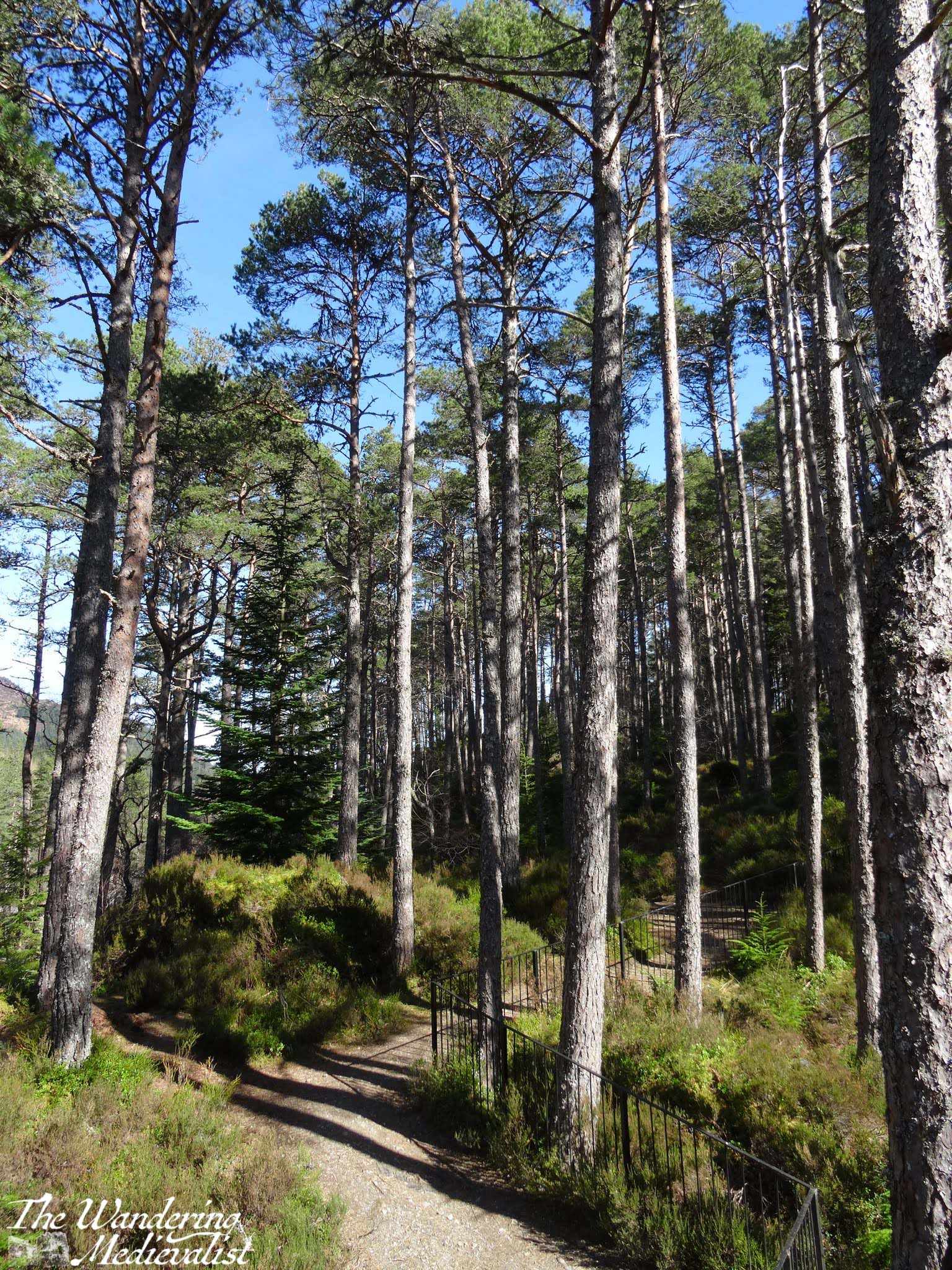
Tyndrum is also where the highway branches off towards Oban, and from here south can get busier. The remainder of the drive to Crianlarich is following the River Fillian and its many small tributaries; mountains continue to dominate on both sides though they are slightly less dramatic than further north.
Crianlarich is another smallish town that has become significant for those heading to the Highlands. Firstly, it is where the road branches either to continue south towards Loch Lomond and Glasgow as the A82, or east to Loch Earn and Perth as the A85. Secondly, it is where the rail line divides. As I mentioned in my exploring Scotland by public transport post, the train from Glasgow north can go either to Fort William or Oban, and Crianlarich is where it stops long enough for the train to either split in two, or be re-joined. There is also a significant hiking peak, Ben More, not far from town, and plenty of places to stop for the night.
Part 9 – Crianlarich to Lochearnhead – 16 miles
The 16 miles from Crianlarich to Lochearnhead is highlighted by a bit wider road, and slightly lower mountains, though still offers glimpses of lochs off to the left. Just over half-way is the turn-off to Killin, where one can view the Falls of Dochart. There is also what I will always refer to as my emergency petrol station – on my last drive back with Dad, I misjudged how much petrol we had and could not see a place to stop in Crianlarich, so was running on fumes by the time we reached this spot. I was considering just going into Killin where I knew there was petrol, but this station saved us and allowed us to continue without a detour.
After the emergency petrol station, the road climbs and winds again through what is clearly planned woodland. One of the most dramatic parts of the drive is as this path falls again, with the road hugging the mountainside and a sharp drop on one side. Ahead, though, is Perthshire and in what feels like no time at all, you enter Lochearnhead, and take a left to stay on the A85. While there is not a huge amount here, there is a safe and relatively clean public toilet that can be a godsend if you have not stopped anywhere except viewpoints since Fort William.
Part 10 – Lochearnhead to Crieff – 19 miles
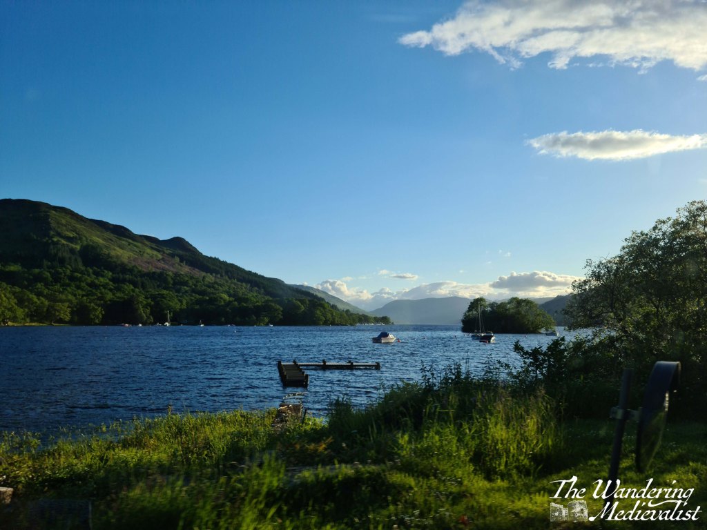
The drive along Loch Earn is beautiful. The loch itself is long and narrow, with plenty of well-to-do houses along the edge and water sports galore: paddleboarding, sailing, swimming and fishing are all advertised. Especially on a sunny day, the glimpses of glistening water through the trees make you want to stop and find a boat of your own.
The drive from one end to the other is about 7 miles, and the town at the far end – St Fillians – is a charming village with plenty of Victorian-era gingerbread-style houses and lovely gardens. After St Fillians, the driving is much more lowland, with farms on either side, sheep fields and stunning stone farmhouses dotted between stands of trees and hills.
Crieff itself is an excellent spot to stop for a snack if you need, or you can push on through towards Perth – another 15 miles. This road offers a more Fife and lowland feel. Fields stretch off into the disttance over rolling hills, and the distant Ochils on the horizon. I have never liked this stretch but I think it’s at least partly because I know I’m heading away from the mountains, and that never ceases to make me a bit sad.
Once you have done the circular drive from Perth to Fort William and back again, you will quickly decide which leg you prefer and where you like to stop. I’m fond of both routes really, though I find myself often preferring the northerly loop as it can be a touch faster, traffic depending. I am looking forward to trying it again…tomorrow!
Have you visited my online shop?