It has been a hectic few weeks at work, which has meant I have not had time to devote to anything but getting through the day. But the busy time is unlikely to pass, and so I have to make time to focus on my real love – my blog and pictures, and anything Fort William-focussed. And so, I bring you this account of a drive I will happily do at any time of year, and with any companions: the drive to Fort William.
East Scotland – the Dundee area, Fife, southern Perth and Kinross – is quite similar in terms of geography: rolling hills, plenty of farmland, coastlines, and dotted with regular towns of good size. Not far north of Perth on the A9, though, pine trees close in around the road and the landscape begins to change. More dramatic, jagged hills rise and all at once I relax. A feeling of joy comes over me, and I cannot help but smile, knowing that I am headed north. I cannot really explain why my mood changes. It may be the hills, heading to mountains; it may be the many happy memories I have of locations to the north; it may be just that the stretch of Scotland north of Perth is some of the most beautiful countryside I have ever seen. Whether continuing to Fort William or just planning a day trip, I just love this stretch of road, and beyond.
And so, in this post I’ll take you on the first half of a circular journey to Fort William, a drive I have done many times. Once I managed it all in one day though I would not recommend it.
There is an issue with the A9 – where this drive begins – that must be addressed, and one that I have confidence will remain an issue for years to come despite all efforts of the Scottish government. That issue is that, for the last eight+ years, Transport Scotland has been working on a project to make the entire road from Perth to Inverness dual carriageway. For Americans, this means that there is a strip of land separating the traffic going in opposite directions, like many US highways. As the A9 is the main road north through the Highlands with increasing traffic and plenty of freight, this seems a no-brainer – it is just taking a touch longer than hoped (doing my best not to make a Big Dig comparison). There are also significant engineering challenges to many stretches of the road. This means, more often than not, areas of slower traffic and roadworks can hold you up, but anyone stuck behind a lorry on a stretch of two-lane road will understand the necessity of this work.

Back to the drive.
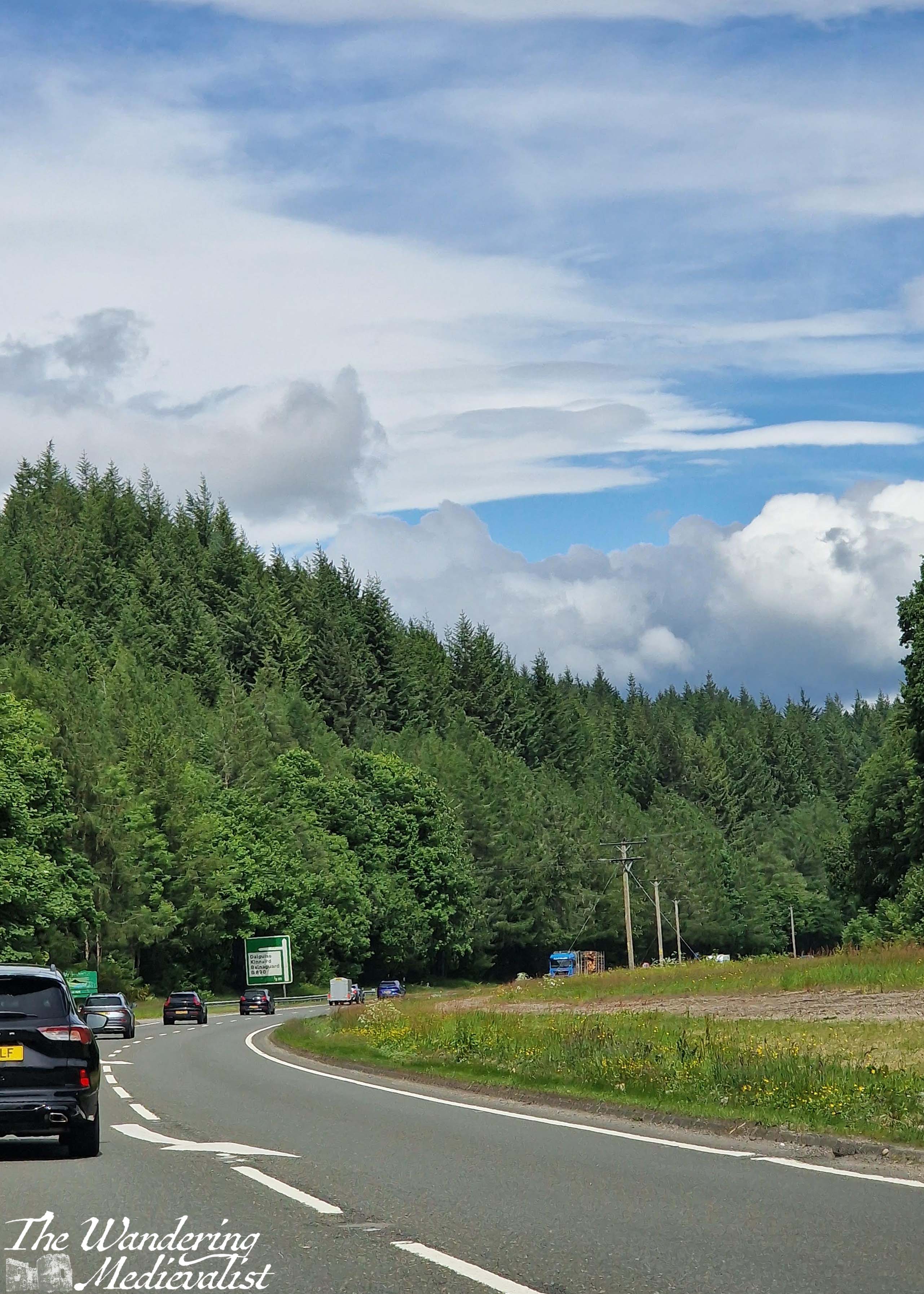
The road pictured above is where the A9 curves, just before reaching the towns of Dunkeld and Birnam, and the Hermitage woodland walk. All three are worthy of their own posts in time, but generally when driving north we do not stop until a bit further on. The road cuts through a set of hills here, with sheep fields on both sides between patches of trees. The highway runs near the River Tay and parallel to the train line that runs from Perth to Inverness. While the track disappears on occasion, it is not uncommon to spy a train.


The next way marker is the widening of the valley in anticipation of reaching Pitlochry. Pitlochry is a small town that holds a place in my heart as where the other half and I went for our first weekend away together, but also for its quaint touristy feel.
Just past Pitlochry is Killiecrankie, famous location of the Soldier’s Leap, and another great place to stop for a walk. Beyond the turn-off to Loch Tummel and the Queen’s View, the highway starts to rise up and along the side of a hill, and there is a gorgeous view of the mountains and the valley along to the left – it never comes through on pictures, though.
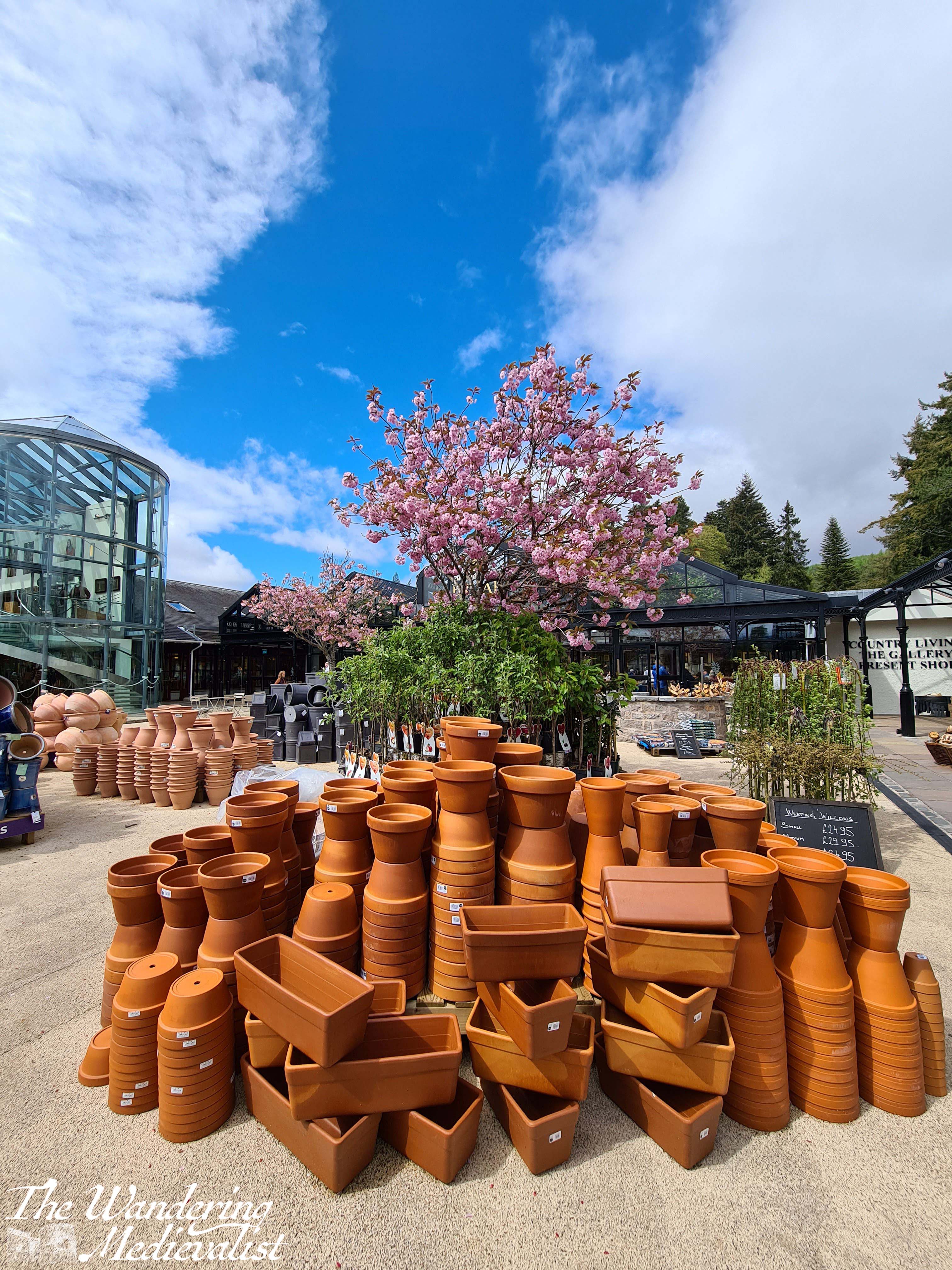
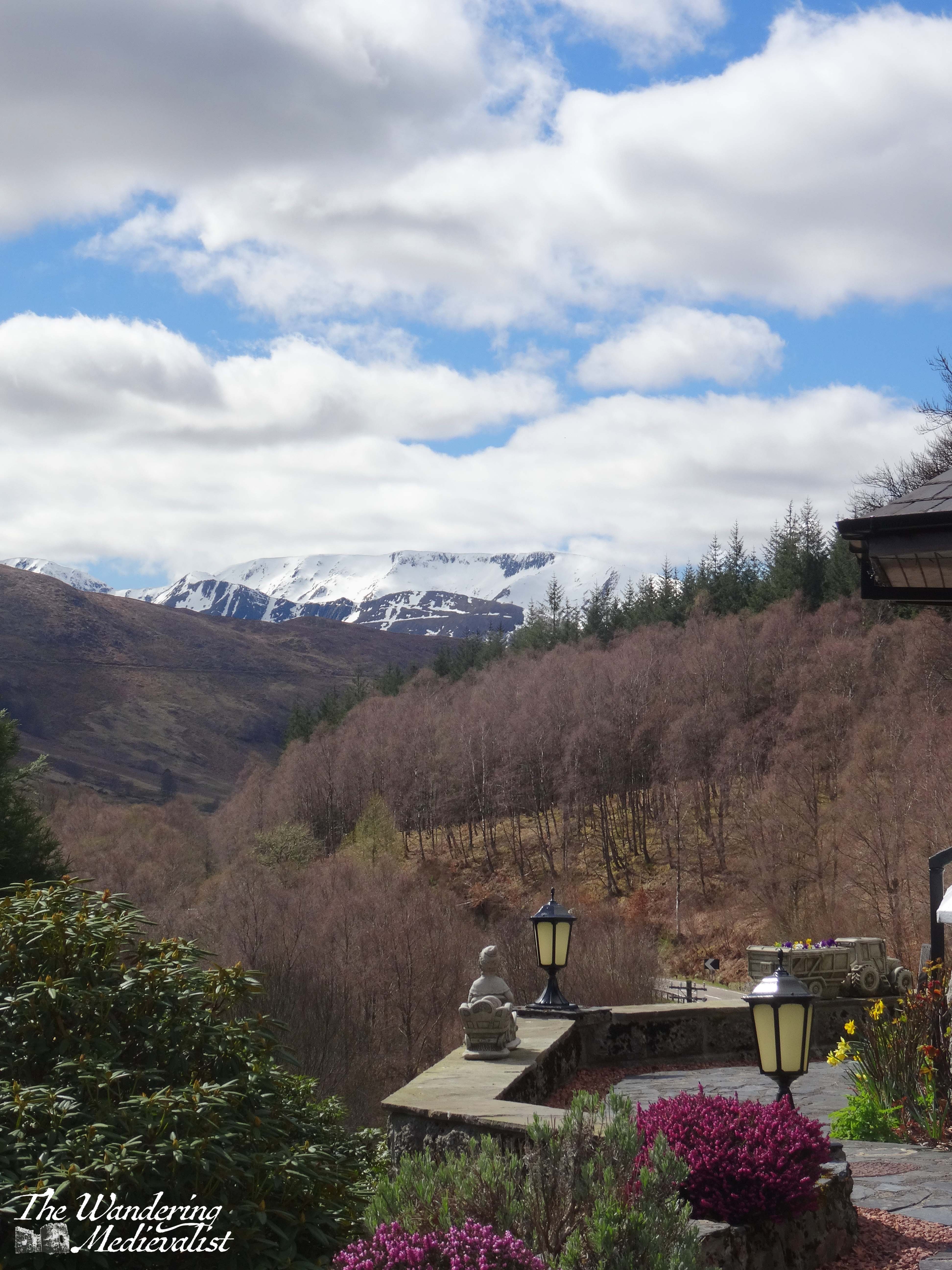
At this point in the drive there is a touch of anticipatory excitement, as I know what is coming. Almost never do we manage to get this far north without stopping at our favourite money trap: the House of Bruar, a high-end shop that sells textiles, outdoor equipment, kitchen accessories, toys, Scottish souvenirs and art of all kinds, and boasts an impressive fine food hall with every type of jam, jelly, cracker, cheese or fine meat that you can imagine. The butcher is fabulous, and the cafe is just as good for a scone or soup, sandwich and snack. Even better is the fantastic walk in the woods behind – again a post for another time, though I have several pictures of the Falls of Bruar in my ‘winter wonderland’ post.
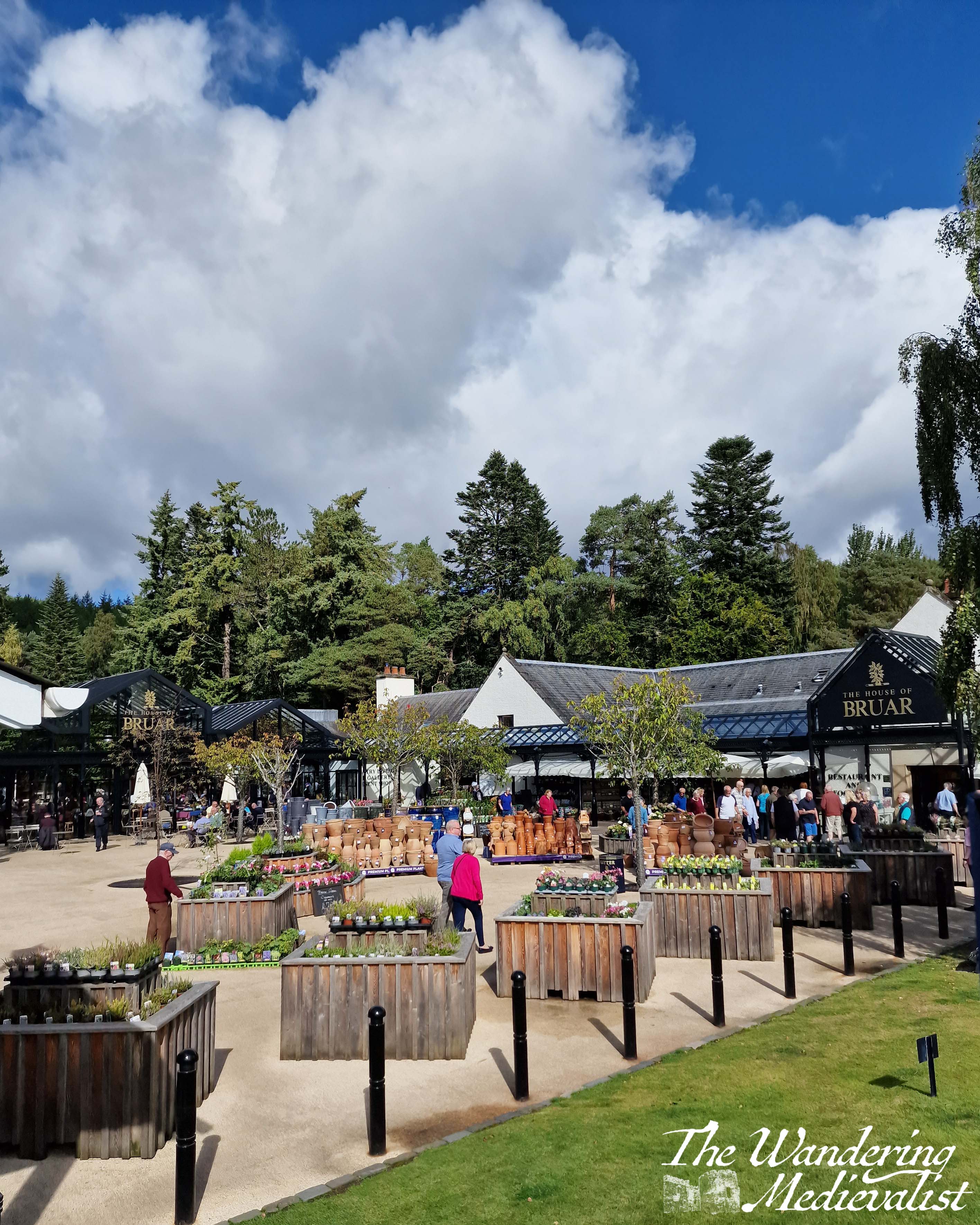
House of Bruar represents another key marker on this drive – a bit less than half way (if you have started in central Scotland), and one of the last places until you reach Fort William that you can easily stop for a restroom break (there are a few other options, but they are not always available).
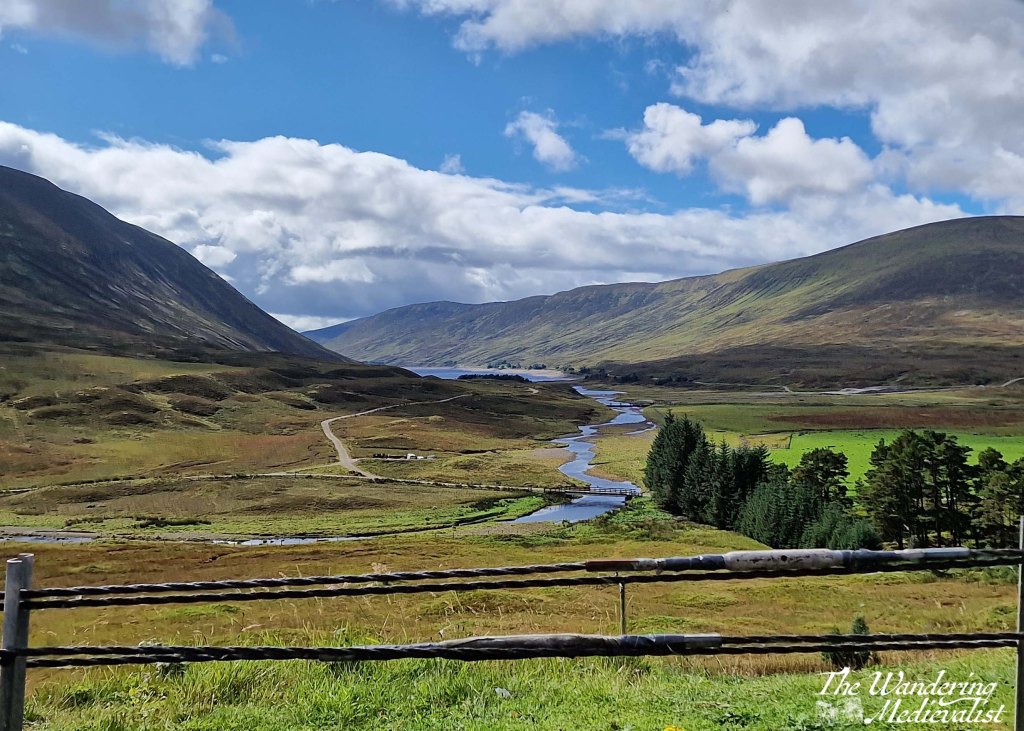
Beyond Bruar, one really enters the Highlands, with hills on both sides as the A9 follows the River Garry. While it is not always easy to tell, you are climbing at this point, and to the left in particular you can catch glimpses of lochs and glens cutting south. One of my favourites is the Dalnaspidal viewpoint, with a lovely river leading from Loch Garry:
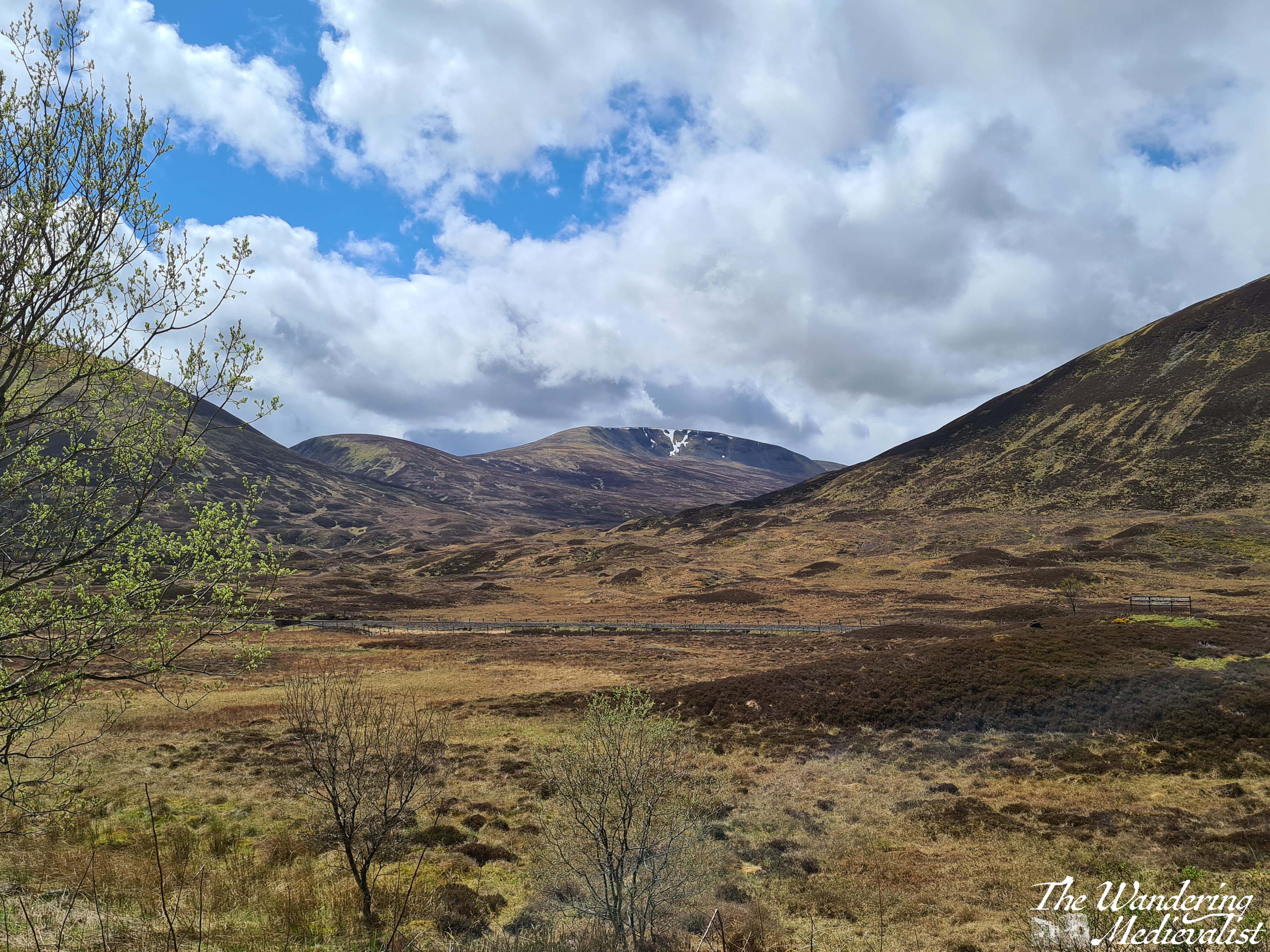
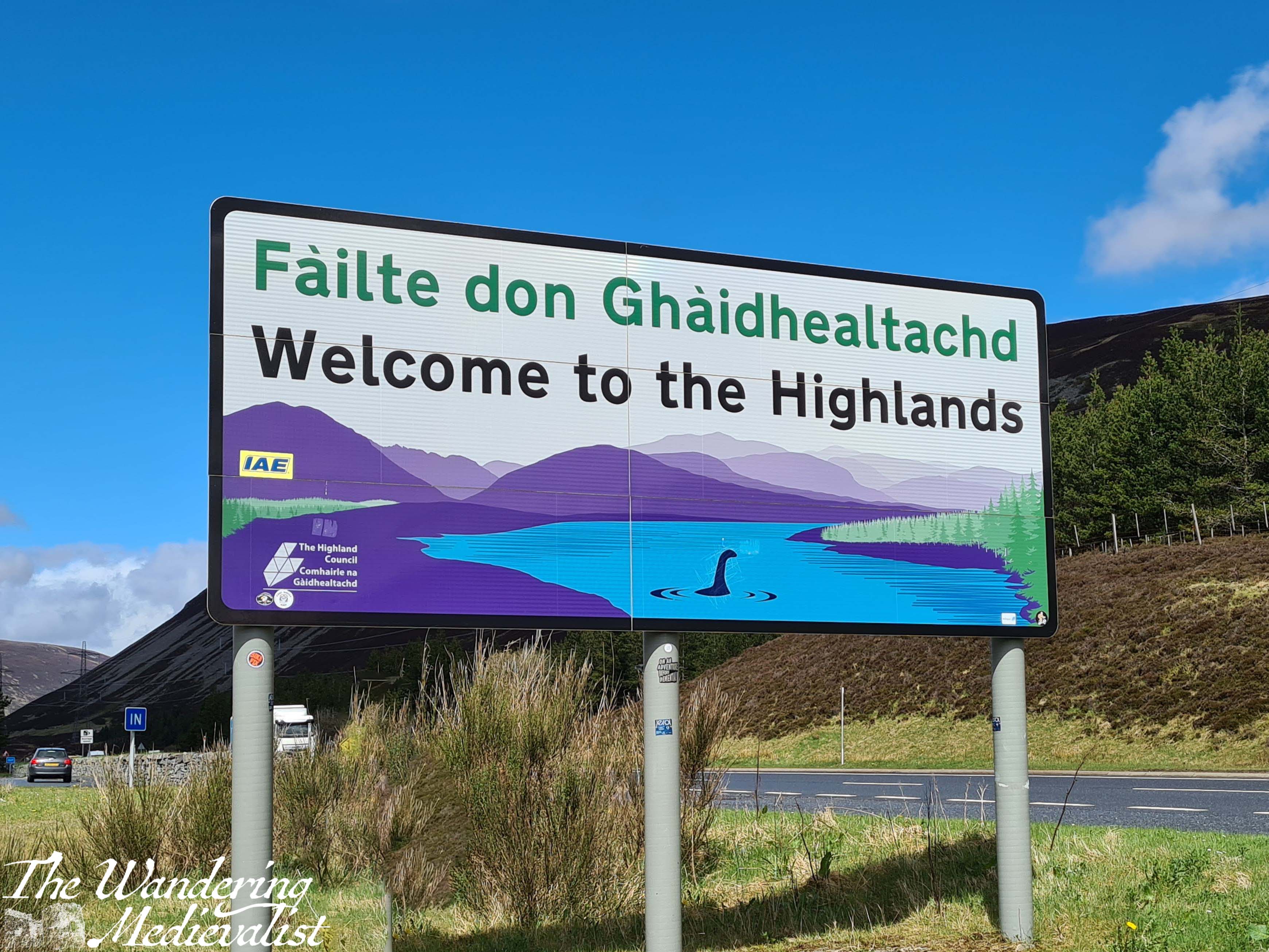
It is not always feasible to stop here, but the next point is a must. At Dalnaspidal you are only a few minutes away from the Pass of Drumochter, the highest point on the A9 and the rail network, and the only gap in the Grampians suitable for road traffic for 100 km. The weather is quite frequently dramatically different here, sometimes raining or snowing when Bruar was sunny and warm. There is a good-sized lay-by, and it boasts one of the happiest signs in Scotland: ‘Welcome to the Highlands’.
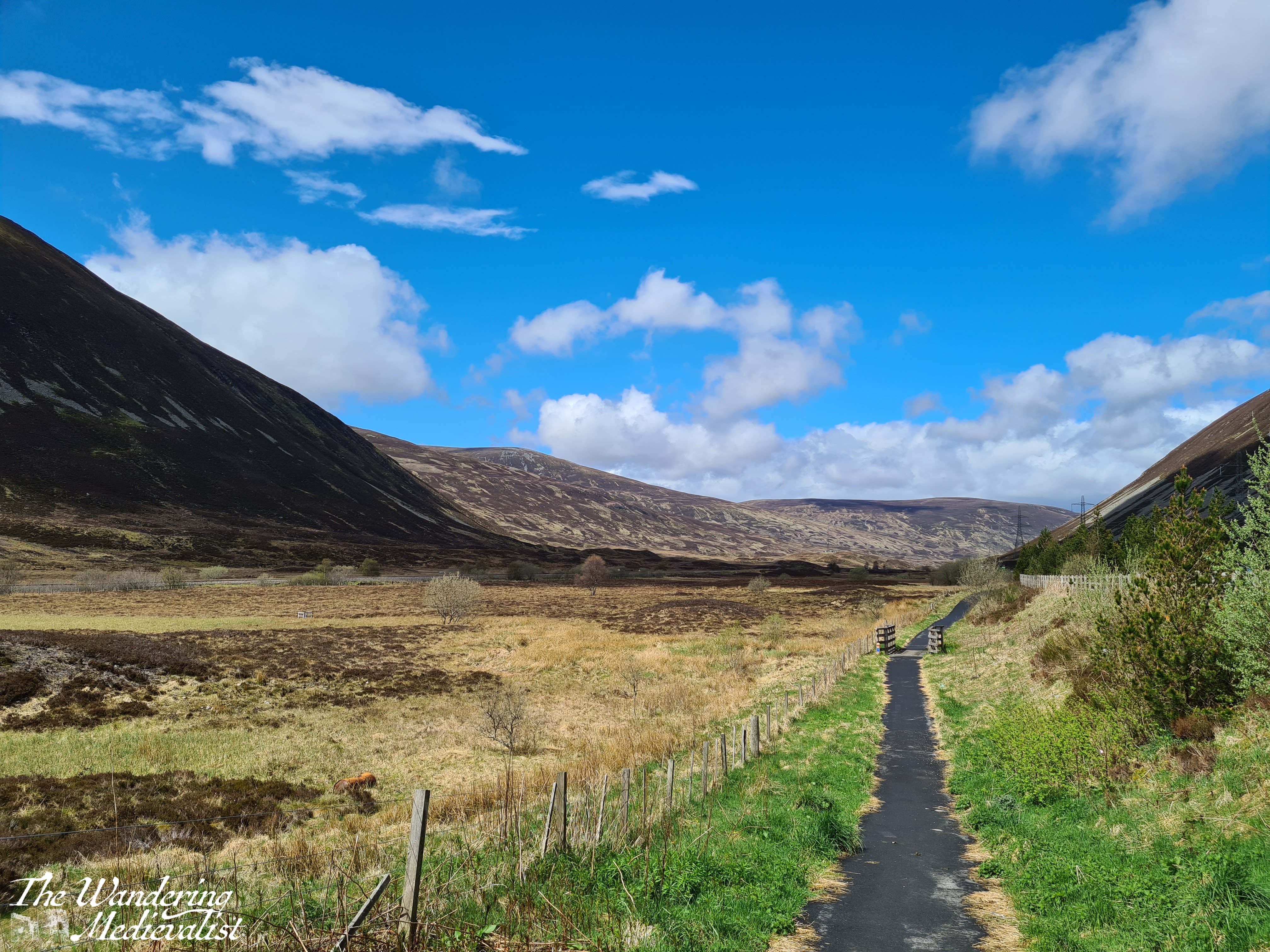

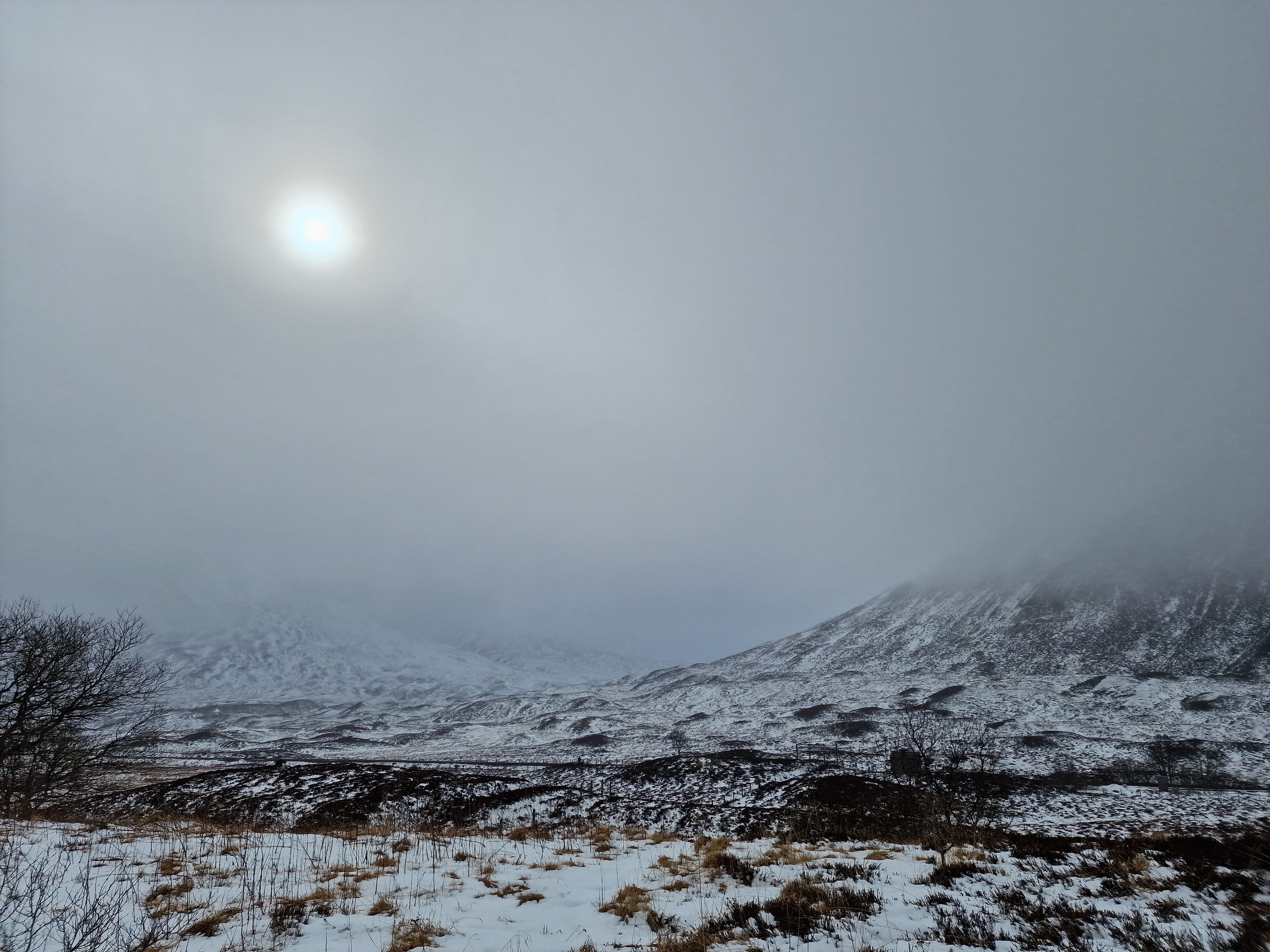
There are countless walks that one can take up into the hills here, and I have made it a habit to get out and stretch my legs, particularly if we have not stopped long at Bruar.
Drumochter is only a few miles from the next important milestone: the turn off of the A9. If one has examined a map, one notices that the A9 heads north and then curves east again slightly as it approaches Aviemore. To head west and then a touch south to Fort William, one must take the exit at Dalwhinnie, where there is a small town and a large distillery where they make, surprisingly enough, Dalwhinnie whisky. Tours are available at certain times of year.
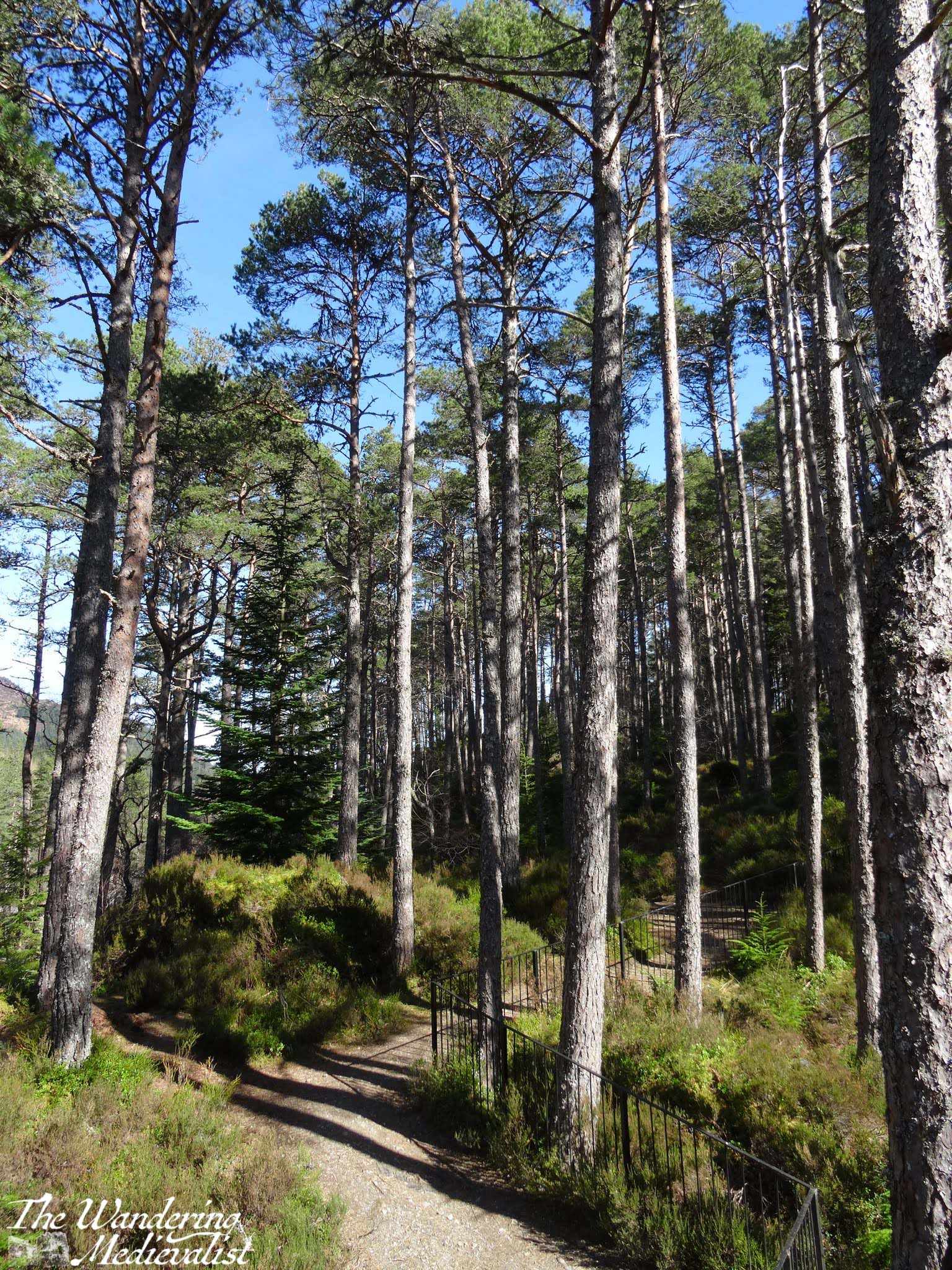
The road in fact circles up around the distillery, and it is important to take care here as the lanes are narrow and large lorries and trucks are regular sights. From this point you will by requirement drive a bit slower; from Dalwhinnie north the road is winding and often roller-coaster like as it sinks and rises through the hills. The views are stunning though, back over the valley and town, and to the east where the Cairngorms are stretching out away from the road. To the left is relatively new forest, immediately to the right are fields, usually with sheep, and ahead rises a sharp peak of which I have not yet worked out the name. The road here is actually following the route of General Wade’s Military Road, constructed in the mid-1700s to help bring Scotland to order.

In several miles the road falls away and curves around to the west, with dramatic craggy peaks up to the left. When driving, one must be paying close attention as the route is both narrow and winding; passengers can enjoy the view. There is a touch of relief when you reach a T-junction with the A86. Here one turns left, following signs for Kinloch Laggan, Spean Bridge and Fort William. Note, turning right will eventually take you back to the A9 via Kingussie.
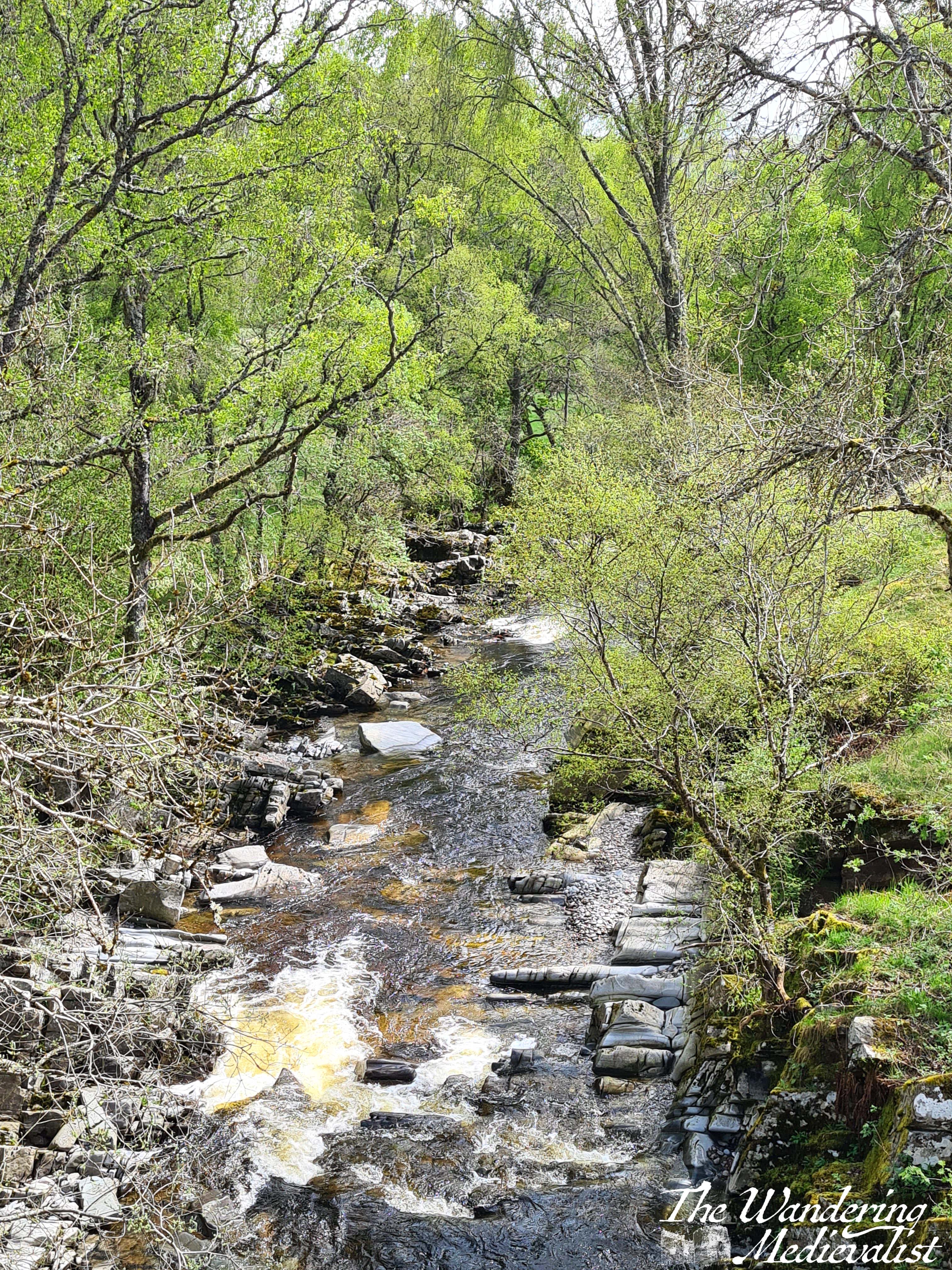
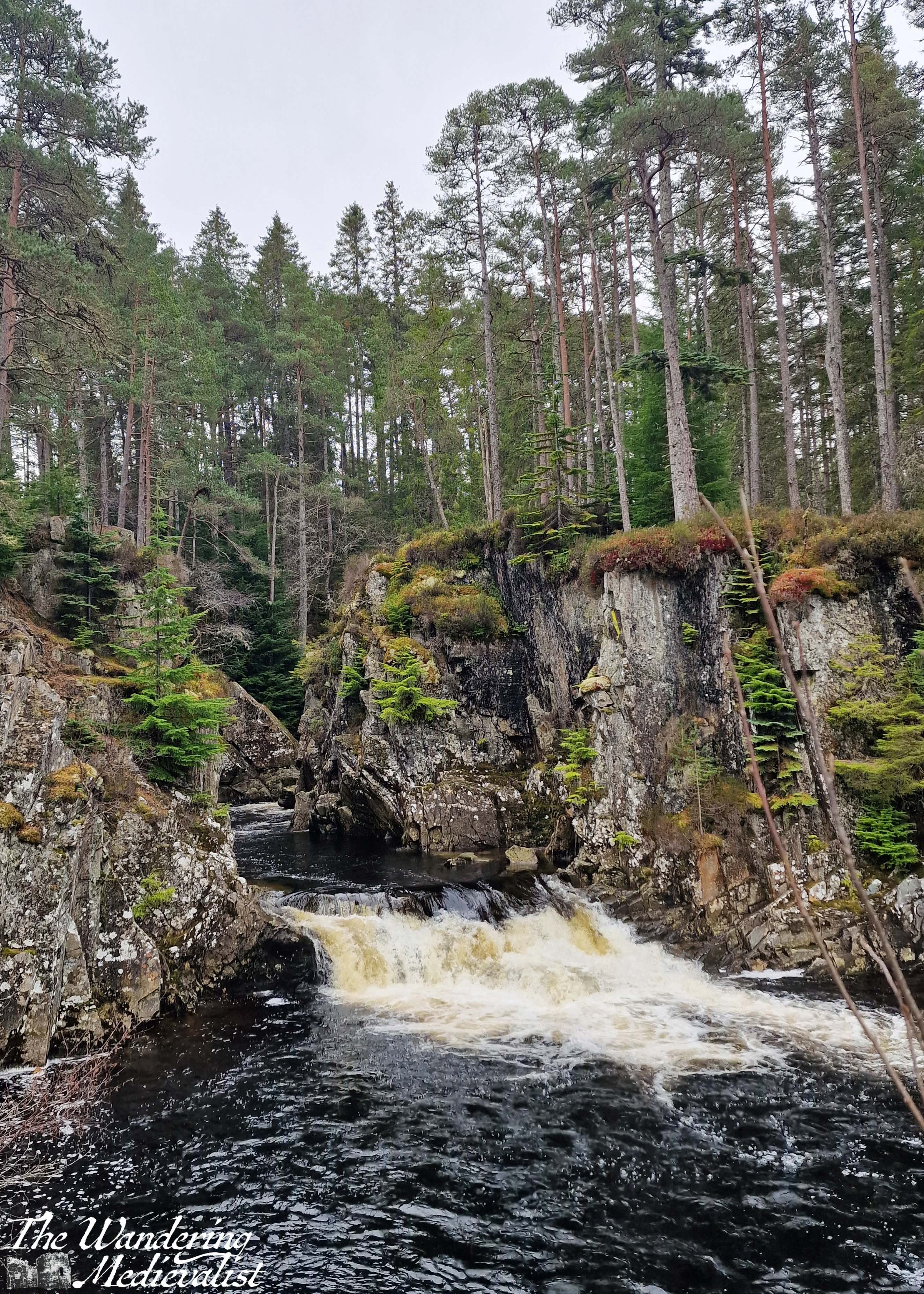
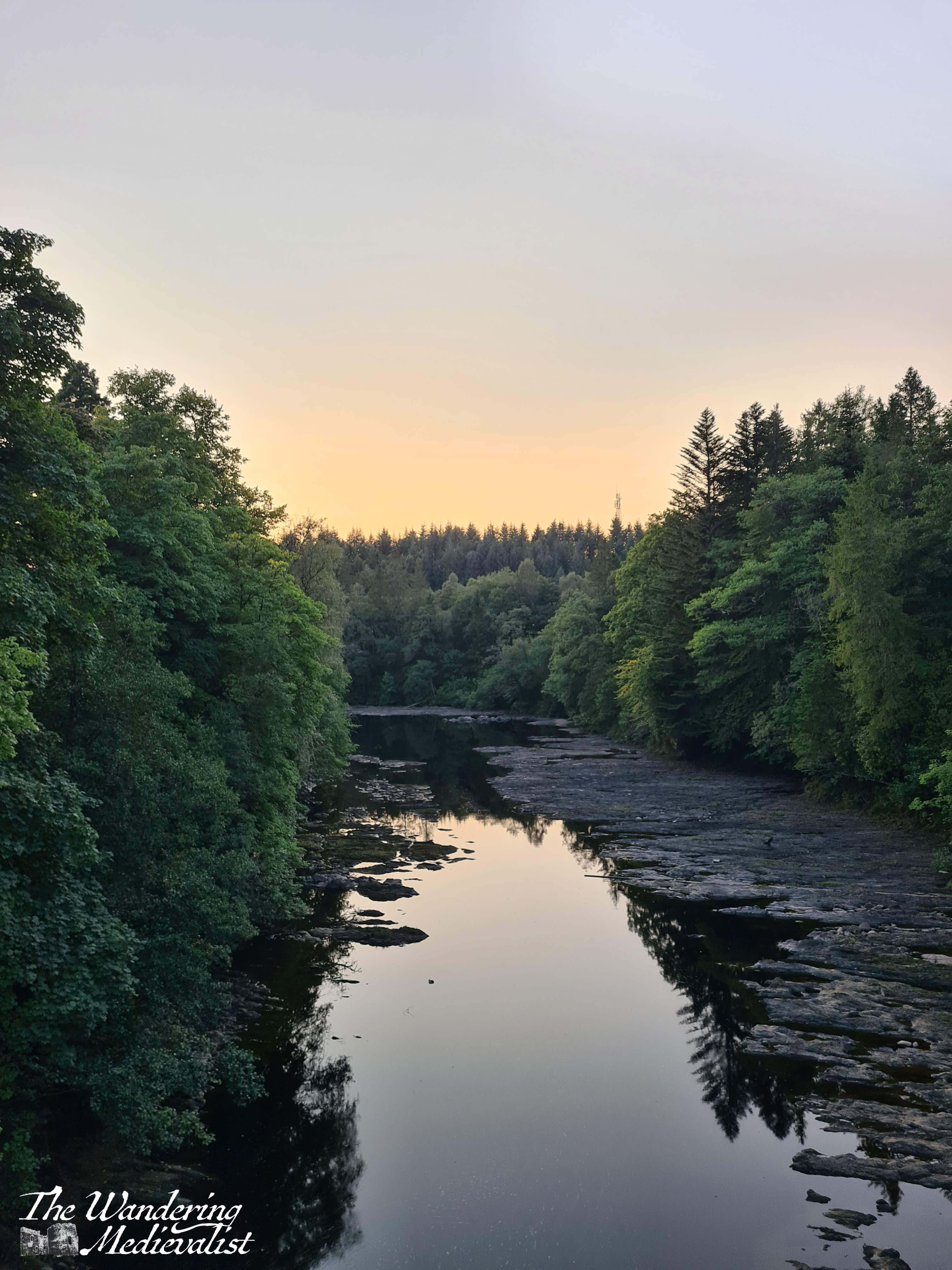
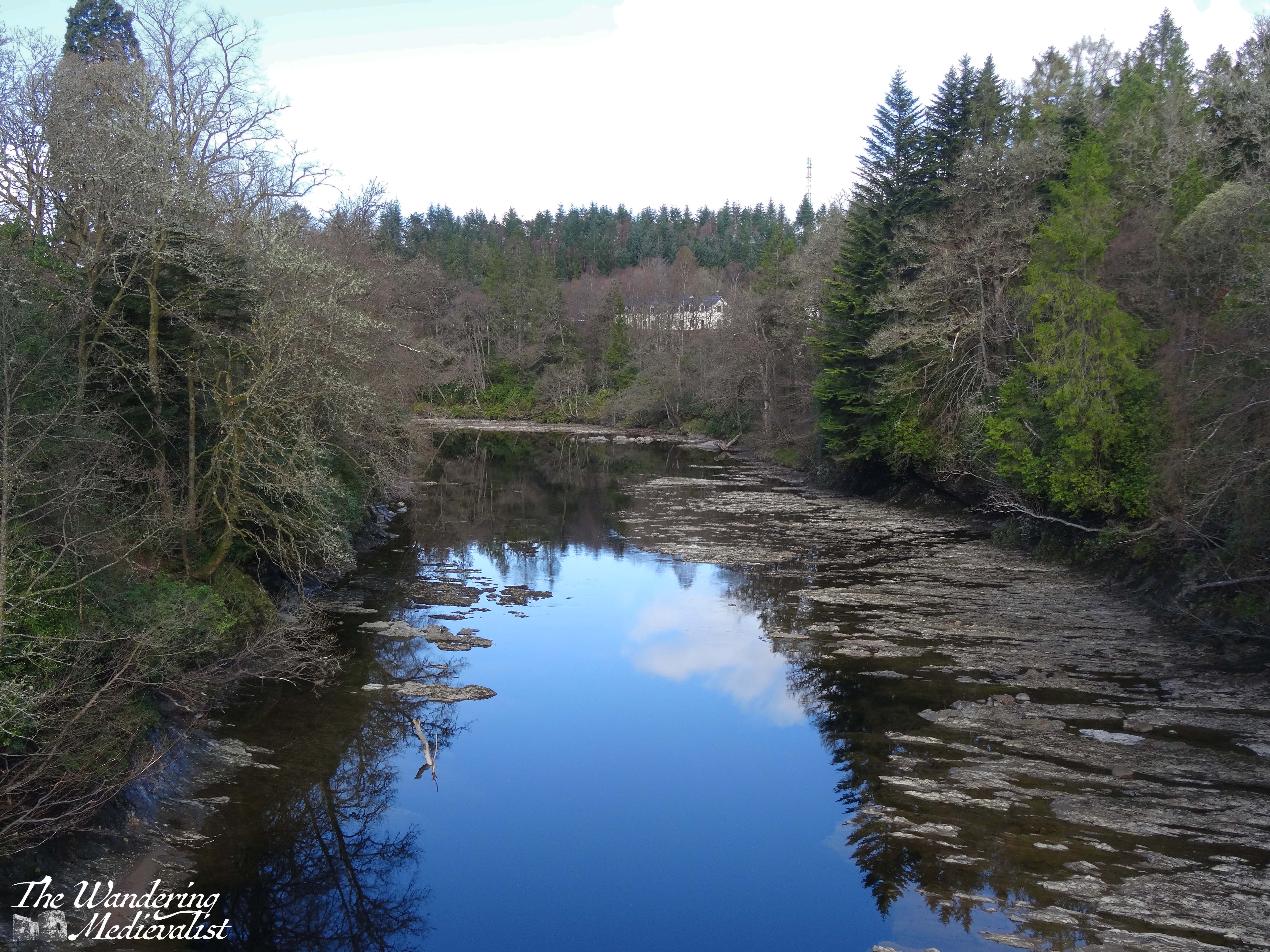
The road now is a touch wider, and in a few miles meets up with the River Pattack. There is a trail and small picnic area so that you can climb up to view Pattack Falls – well worth a stop if you need to stretch your legs or take a break from the roads.
Several miles beyond Pattack, the trees open up for a fraction of a moment to allow you a stunning view down Loch Laggan; I have seldom been able to properly pause here, but if you can find a viewpoint along the loch that is not blocked by trees, it is definitely recommended to stop briefly.
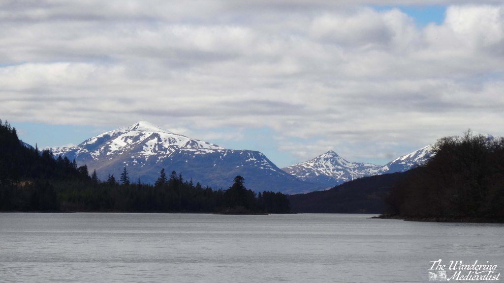
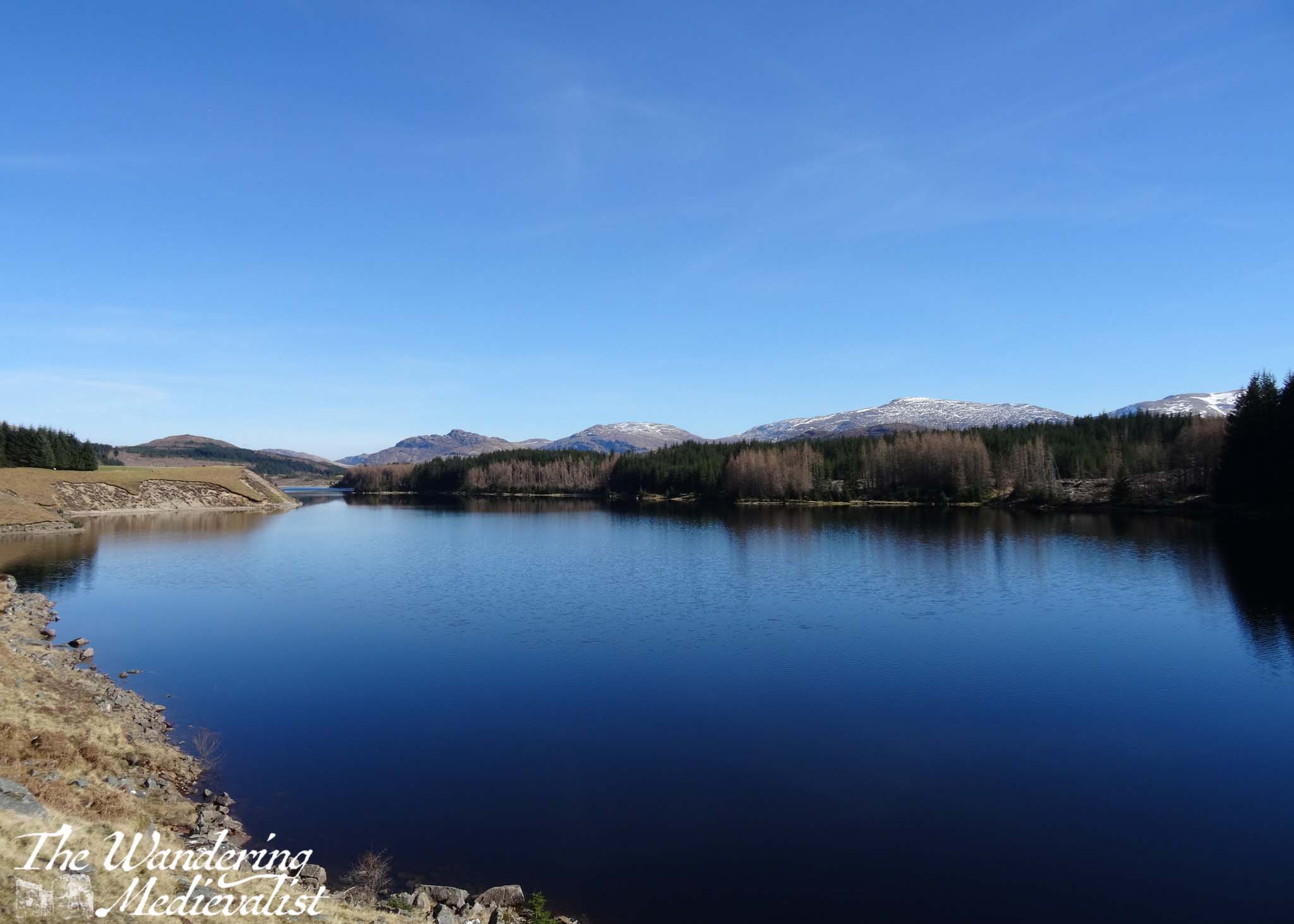
I always manage to confuse myself, thinking we are almost at the Laggan Dam, but in fact it is a solid 12 miles further as it does not sit at the end of the loch as one might expect. Approaching the the dam are more views over the mountains and the waterway down to the left, while to the right is the forest and hillside.
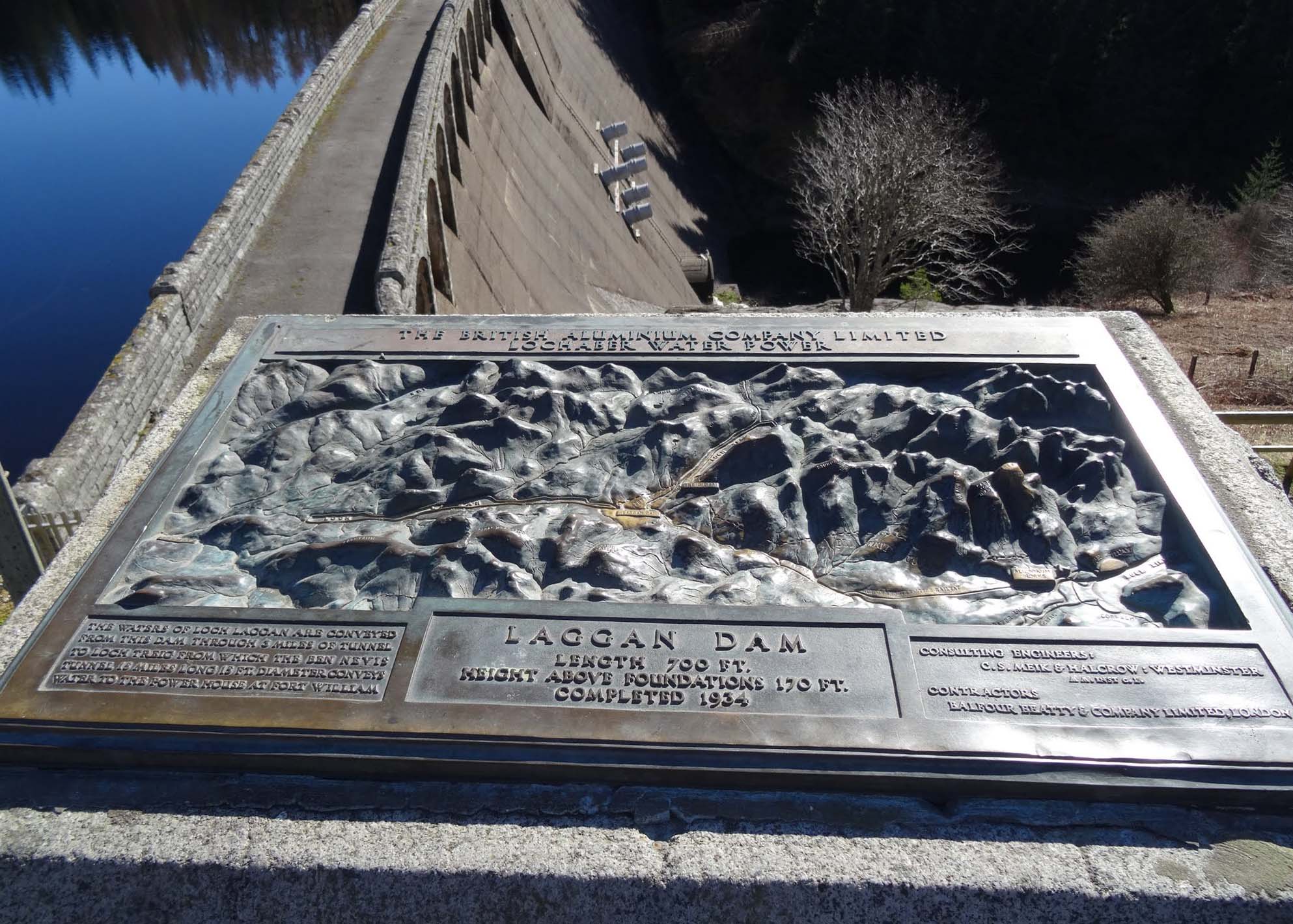
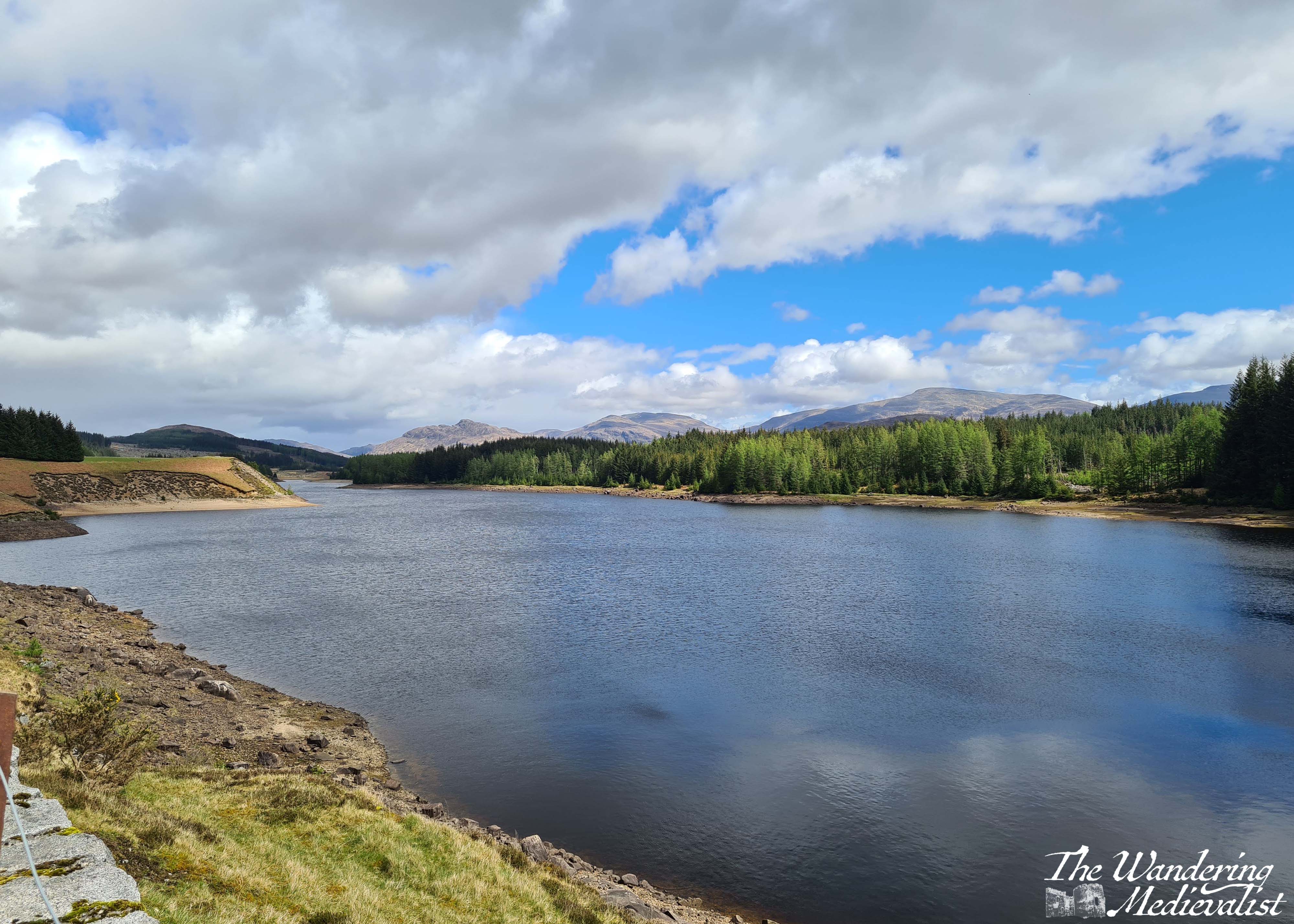
If you have managed the whole stretch from Dalwhinnie without stopping, you will absolutely want to stop at Laggan Dam, both for the view and to stretch your legs – you’re still about 30 minutes or so from Fort William. Directly south, behind the range of hills, is Rannoch Moor, and if you look at a map you will see you have just done a big loop up and around some impenetrable hills.
Constructed in the early 1930s, the dam is part of the Lochaber hydroelectric scheme, designed post-World War I to provide electricity for aluminium production. Now, you are able to stand at the edge of the dam and see the reservoir formed by the River Spean, and also the sharp peaks that form the eastern end of the Nevis Range.
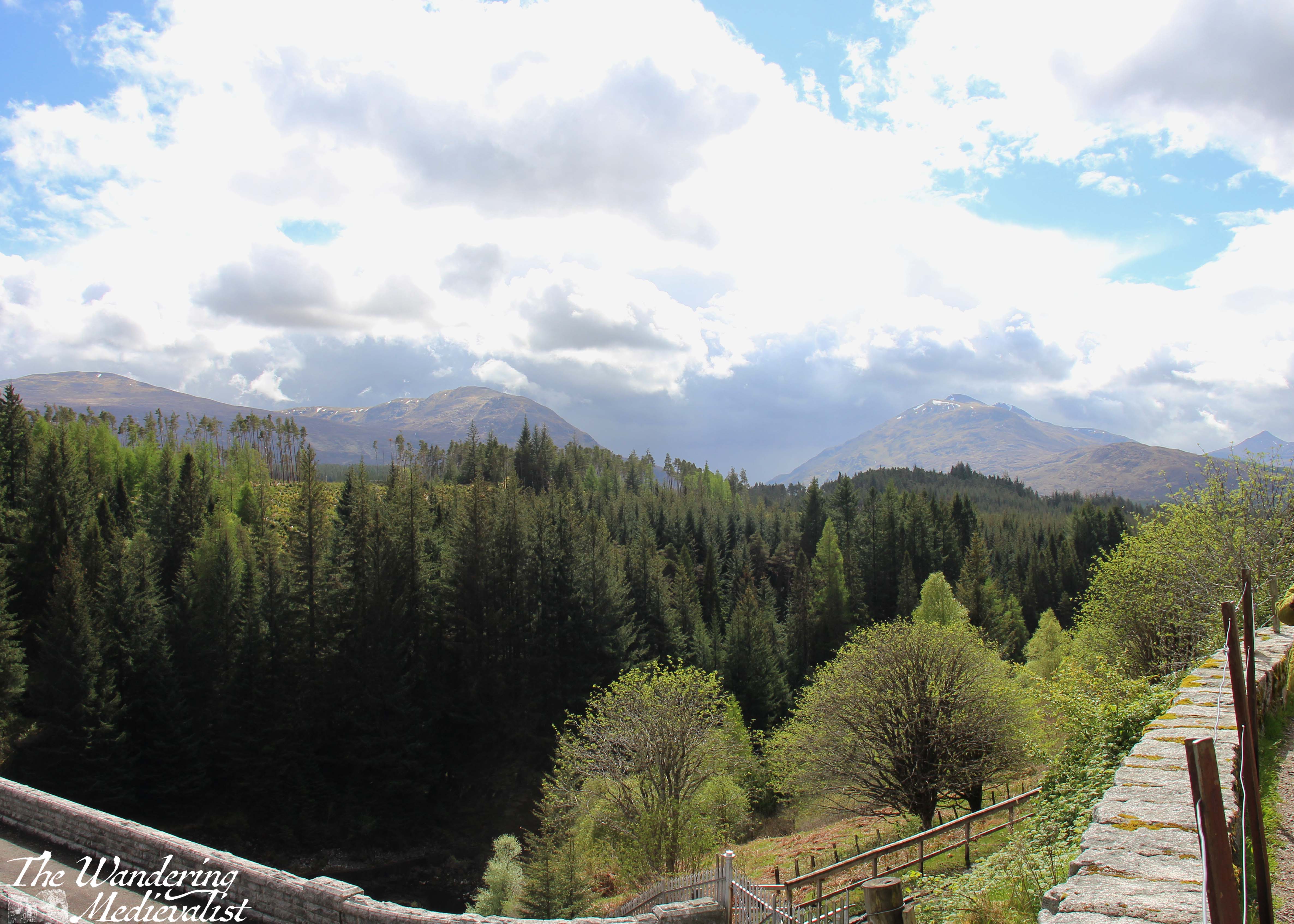
Starting off from Laggan again you are in the home stretch, but also some of the more challenging part of the drive – this portion of the A86 is regularly considered one of the more dangerous roads in Scotland. You will quickly see why; it is winding with sharp bends, narrow turns, and drivers who often go far too fast. In the rain it can be prone to slippage from the steep hill above, and there is an equally steep drop off to the other side, into the gorge of the River Spean. I should say, I have never had any issues here, but I am also on the cautious side here.
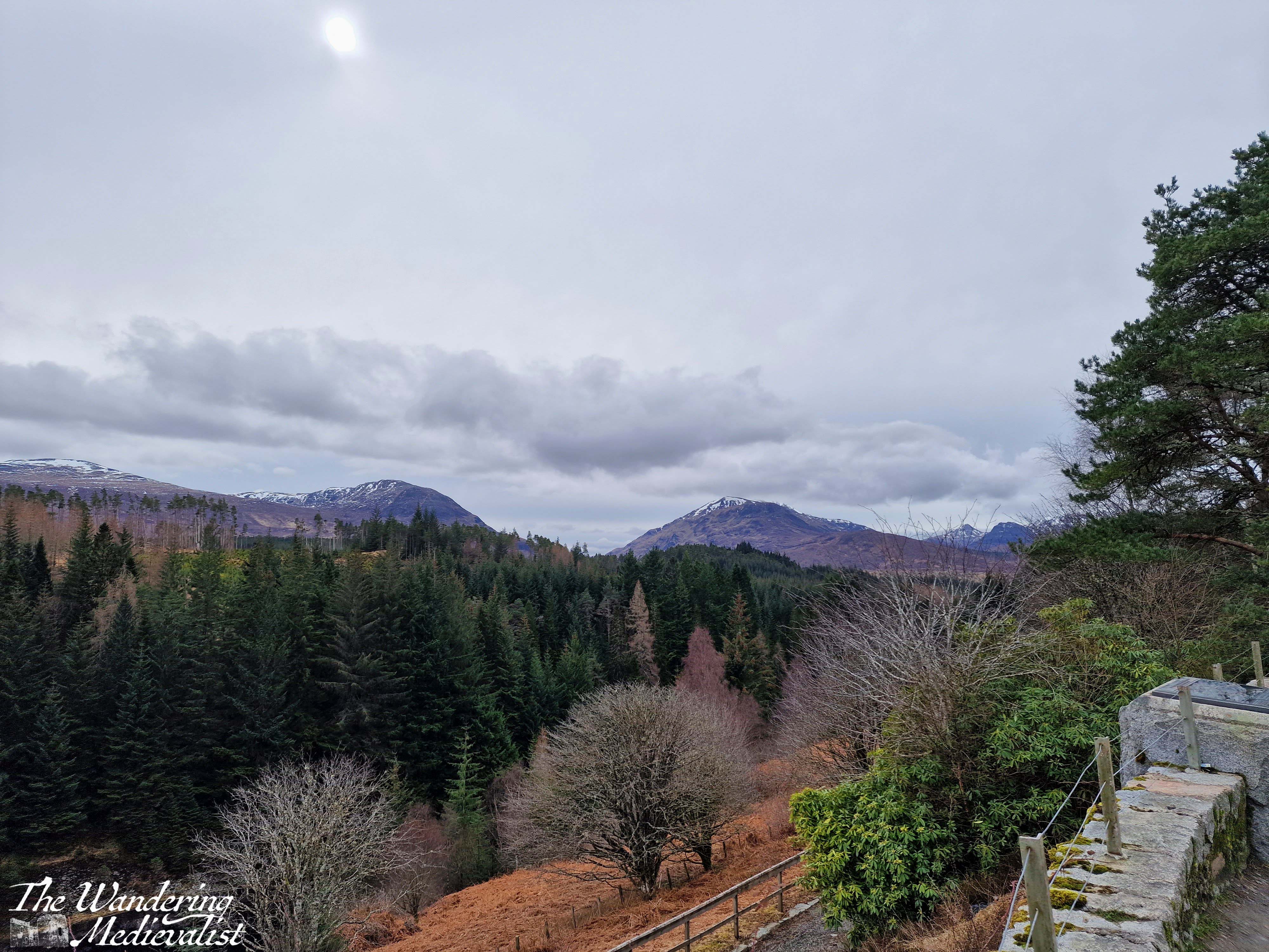
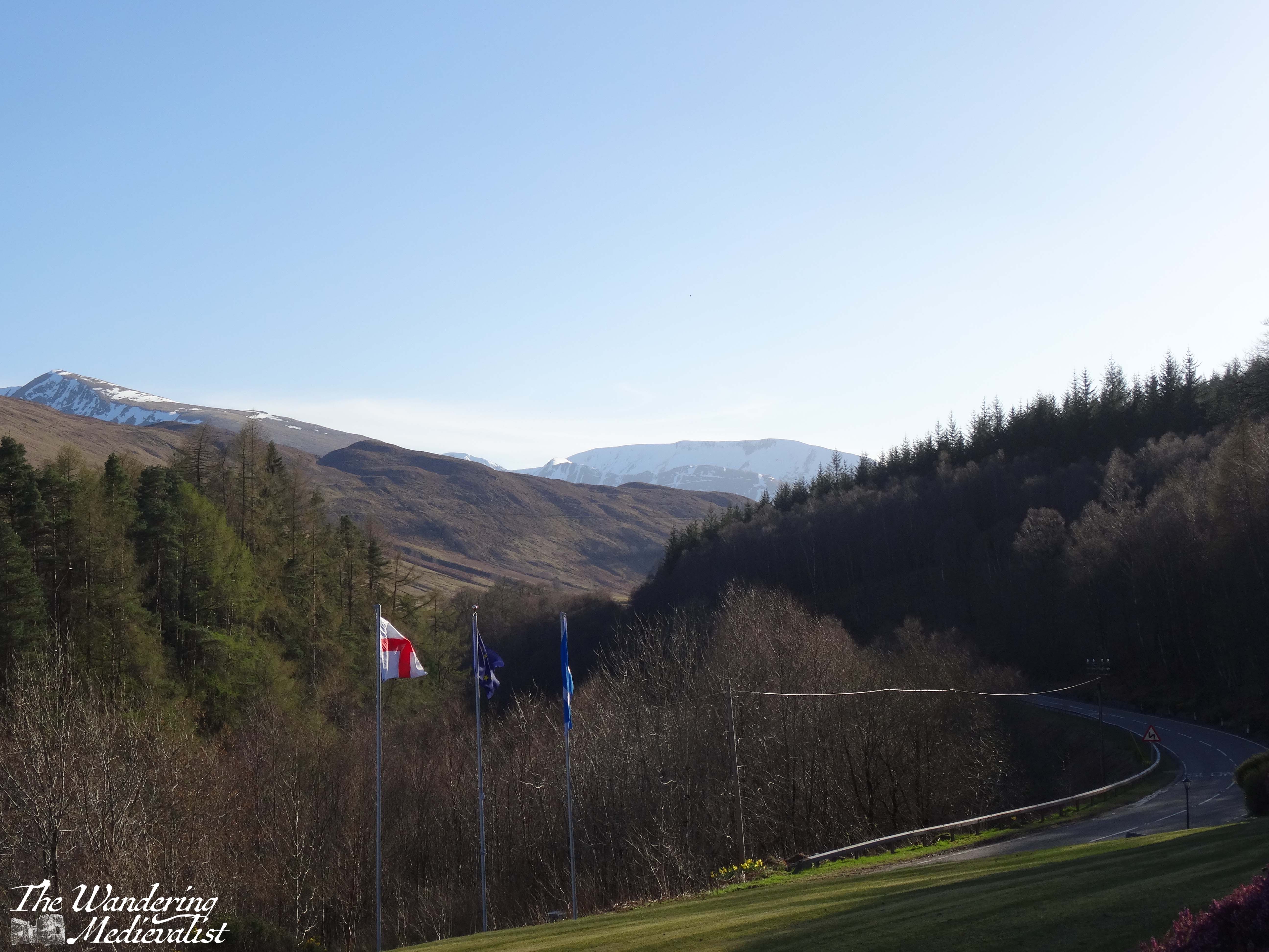
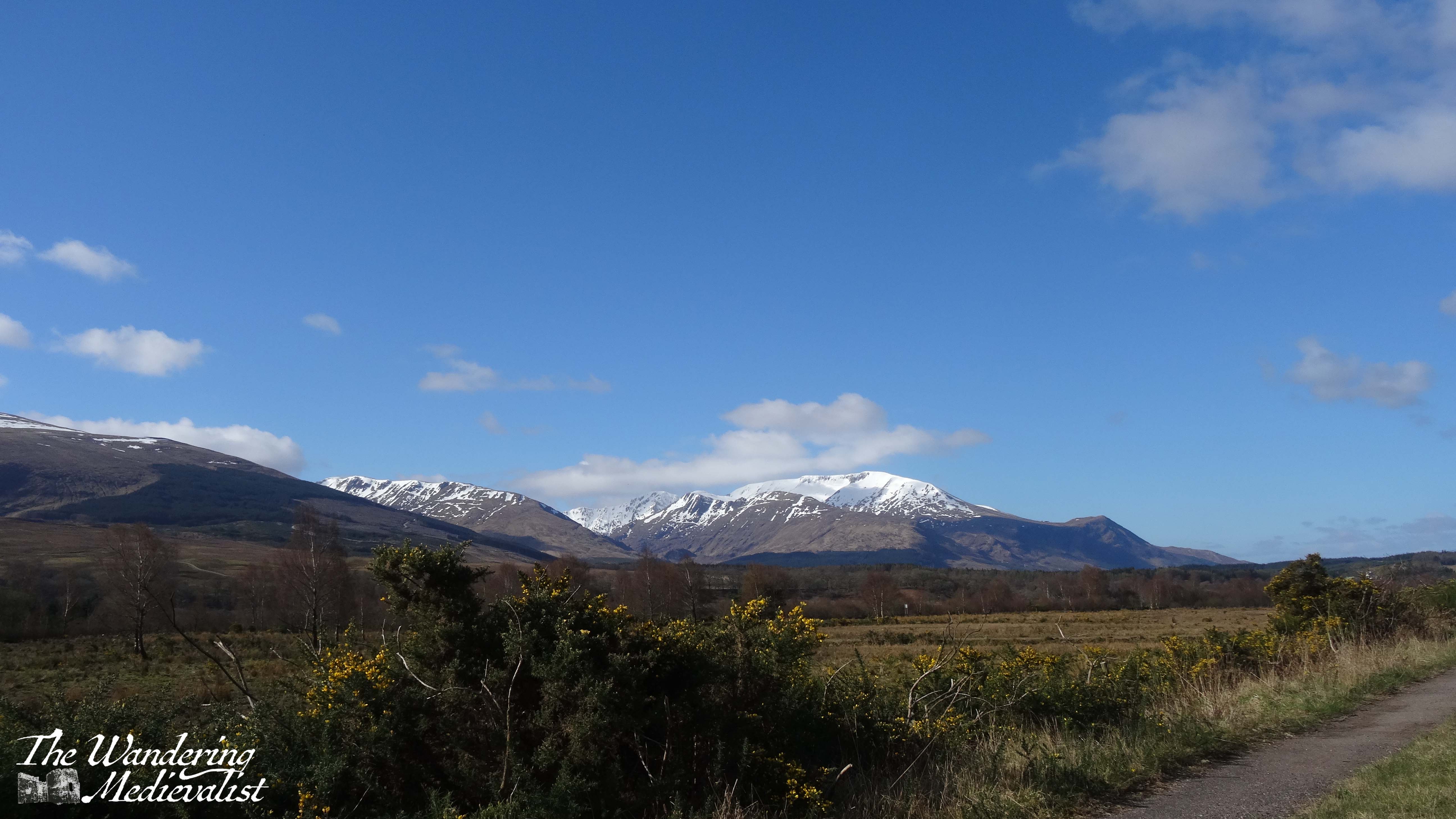
It is a beautiful route through a series of towns and villages where there are B&Bs and small hotels abounding. Some of the towns are also served by the rail line from Fort William to Glasgow. We stayed several times in a lovely hotel near Roybridge that provided excellent views up Glen Spean to the Nevis Range, but also showed how winding the road could be. Between Roybridge and Spean Bridge there are a few wide open fields where you can see up to Ben Nevis – the UK’s highest peak – often still snow-capped in April.
Spean Bridge is slightly larger than Roybridge, and there you can find several hotels and a woollen mill that provides refreshments (mostly to bus tours) as well as wide-ranging Scottish souvenirs. As expected, the River Spean passes under the road here, before carving its way through the landscape to join the River Lochy. This is also where the A86 joins the A82, offering an option to turn north towards Inverness or continue west to Fort William.
The drive into Fort William from here includes some spectacular scenery on both sides, with the Nevis Range rising to the left and farm and more mountains to the right. A few miles out from the town, you pass the Nevis Range mountain resort, where you can take the gondola up Aonach Mor.
The approach into Fort William passes some very familiar modern sights such as a large Aldi, M&S Food Hall, KFC, Costa Coffee, and Pound Stretcher. You will also go through the roundabout where the road from Glenfinnan and Mallaig intersects the A82 – believe it or not, I have been stuck at this roundabout in long queues of traffic. One does not often imagine finding a traffic jam in the Highlands!
Nevertheless, I always find myself smiling as whatever vehicle I am in makes its way past the turn off to Ben Nevis, then the many guest houses and B&Bs, and eventually into the town centre of Fort William.
A few items to note if you intend to try this drive:
- As mentioned above, there are not many places to stop for refreshments or comfort breaks between Dalwhinnie and Spean Bridge, so plan both carefully.
- Likewise, petrol is scarce between these points, but if you have filled up in Perth you should be able to reach Fort William without any danger of running low – transport depending of course.
- Roads will be slippery and potentially even closed in poor weather (particularly in the winter). Drive carefully and always check the route on Google Maps or your preferred method before leaving. Roadworks and diversions may pop up without much warning!
- If you intend to stay in Fort William, make a reservation. It is frequently busy, even when you think it might not be…
I will write soon I am sure about the town of Fort William itself, places to eat and stay, as well as the drive back south again via Glencoe and Rannoch Moor. Until then, I hope some of my pictures have persuaded you to give this journey a go!
Explore more pictures at my online shop!