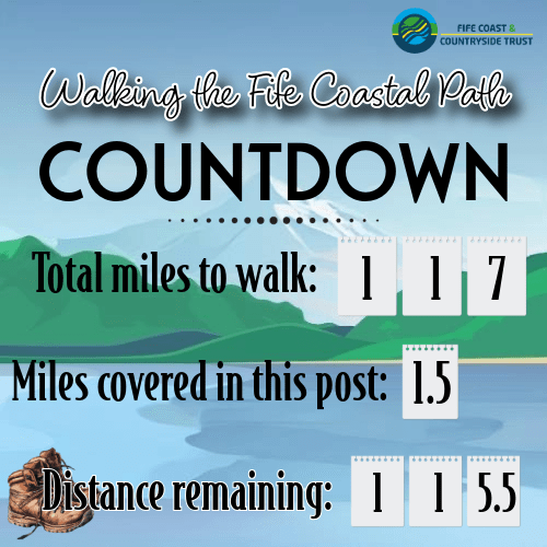
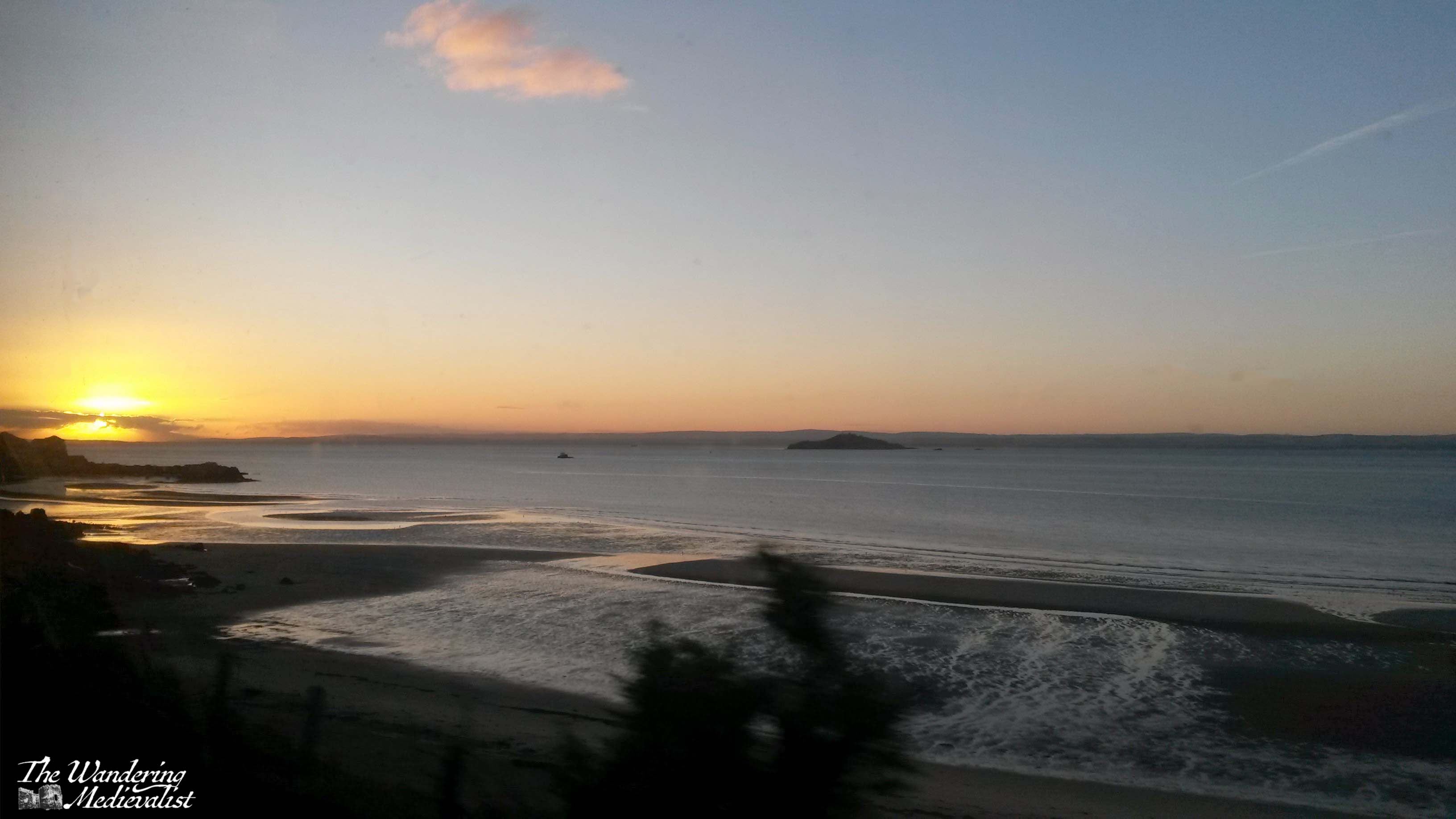
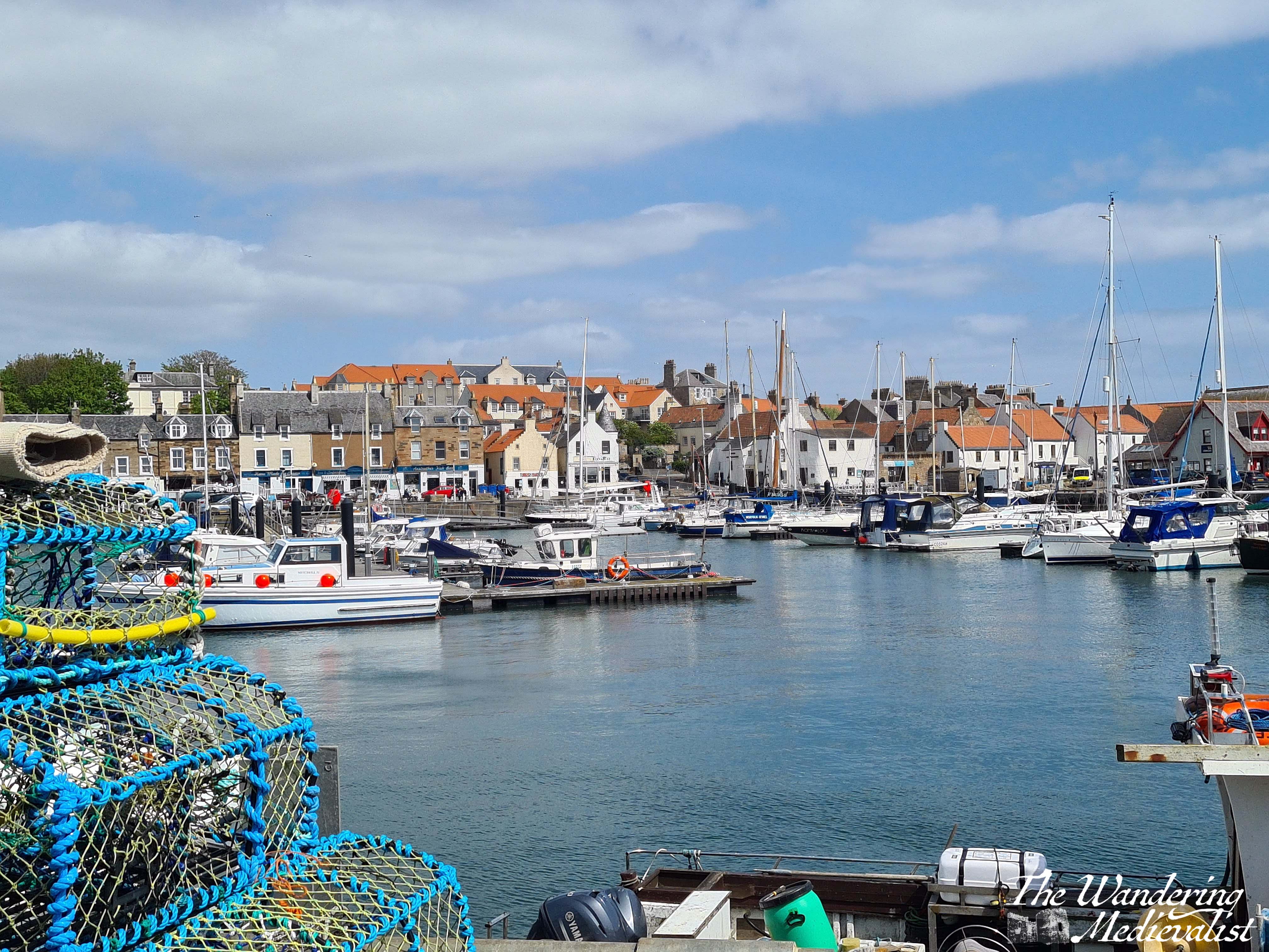
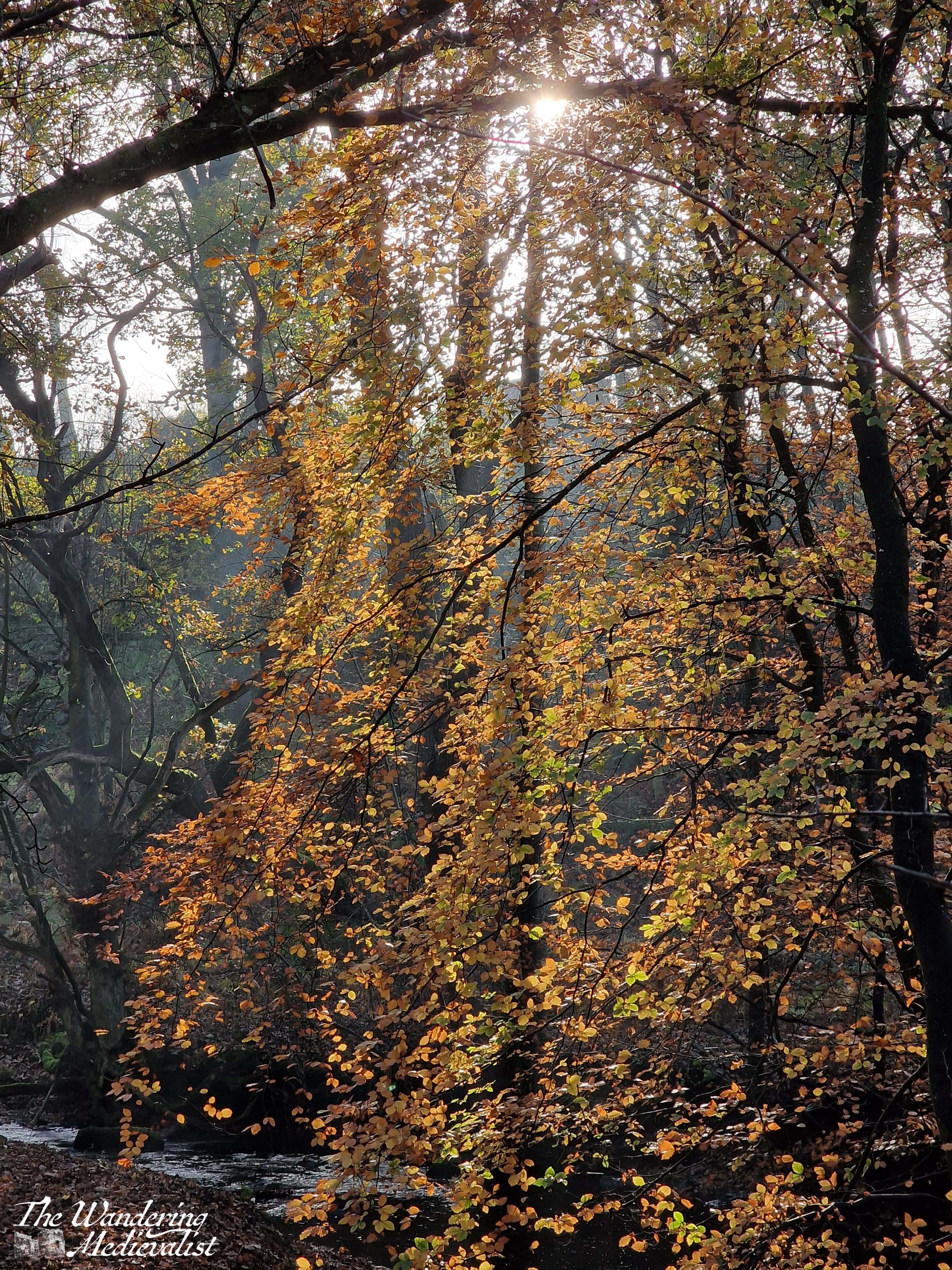
As I have alluded to in my past few posts, January weather has been consistently rubbish. This Saturday really wasn’t much different, except that the rain was more a gentle mist than a downpour. I knew I wasn’t up for a long walk, and I had plenty to do on my last weekend before my next work trip, so this stretch of the coastal path – some of which I have done before but ran into a serious detour – seemed a good idea.
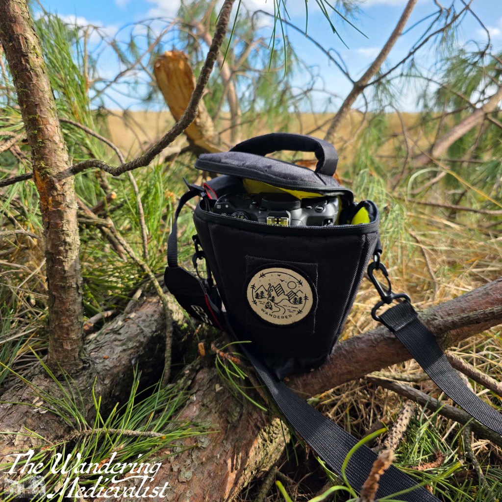
I was also excited to do a proper inaugural hike in my new boots, so I was all ready with my hiking socks and some new insoles that keep my ankles from rolling in. I wrapped up with several layers, and boarded the bus to Leuchars, where I got off at the Olde Hotel. While I can’t say that I was quite as enthused as I have been some mornings – it is hard to be energetic when it’s chilly and damp – I was looking forward to making a tiny bit of progress on my goal. But then I noticed, as I walked along Main Street, that my left foot – the larger one, according to the man who measured them at L.L. Bean – began to rub, quite quickly and painfully. So, I ducked into a bus shelter and found the one Compeed left from my summer walking kit, and plastered it on. I only made it a few more hundred feet before I realised I was in trouble – despite the cushioned plaster, the rubbing was getting worse, and I began to fear that I would have to give up. Also, I was walking unevenly to favour that foot, and I knew that would cause pain in the long run.
Frustration was an understatement – how could these amazing new boots have turned on me?! How could I miss the one opportunity to check off a few more miles? Then it dawned on me – the insole. It was pushing my foot up just enough that it hit a part of the boot it shouldn’t. Despite mud and rain, I managed to get my boot off – again – and pull the insole out. Immediately, the boot felt better and my stubbornness determined that I would manage the walk even with a bit of discomfort. And so I headed on, along the muddy playing fields that abut the castle grounds. My good mood was quickly restored upon meeting a roly-poly black cocker spaniel who ambled up to me and deposited itself on my feet. After a few good ear scratches and a smile, he toddled off again to meet his master. As always, an encounter with a dog improved everything.
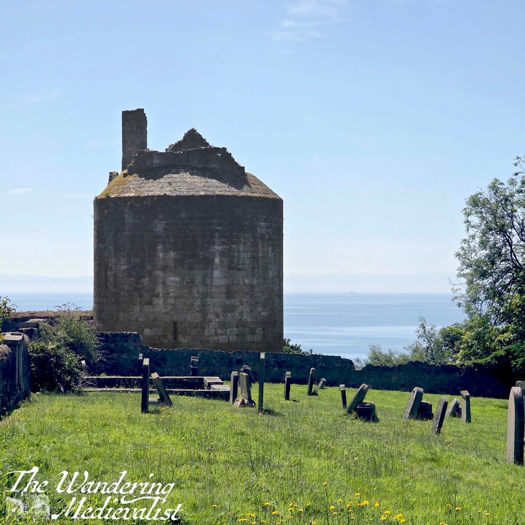
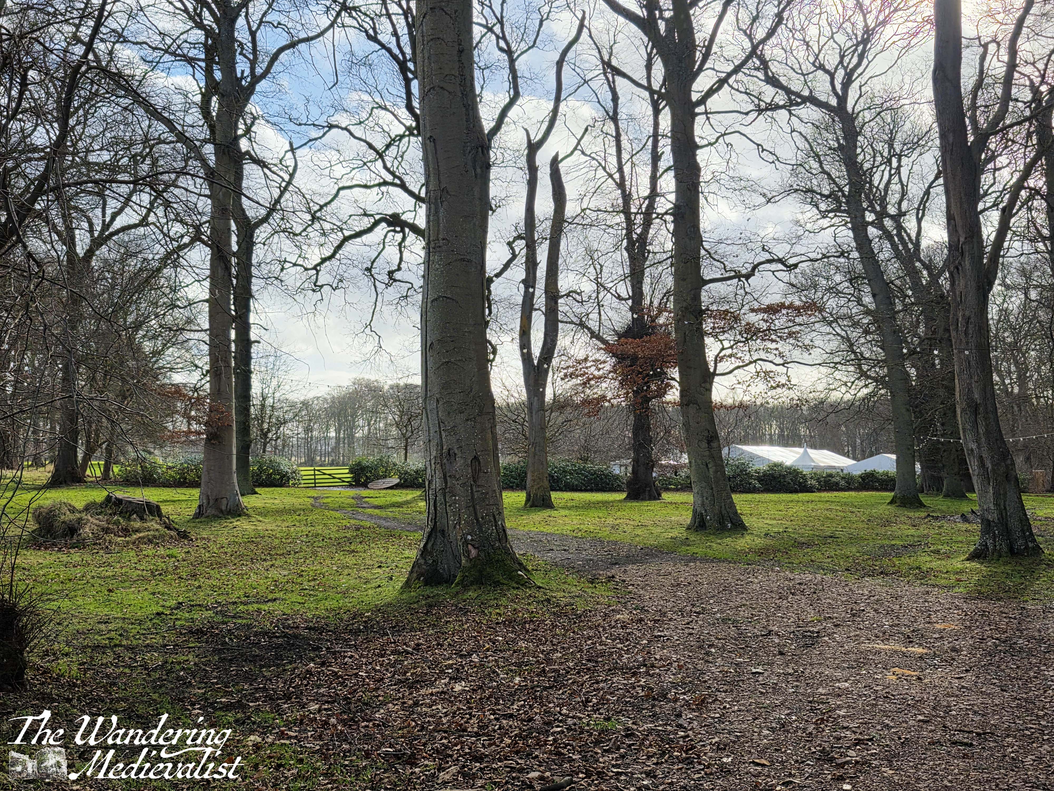
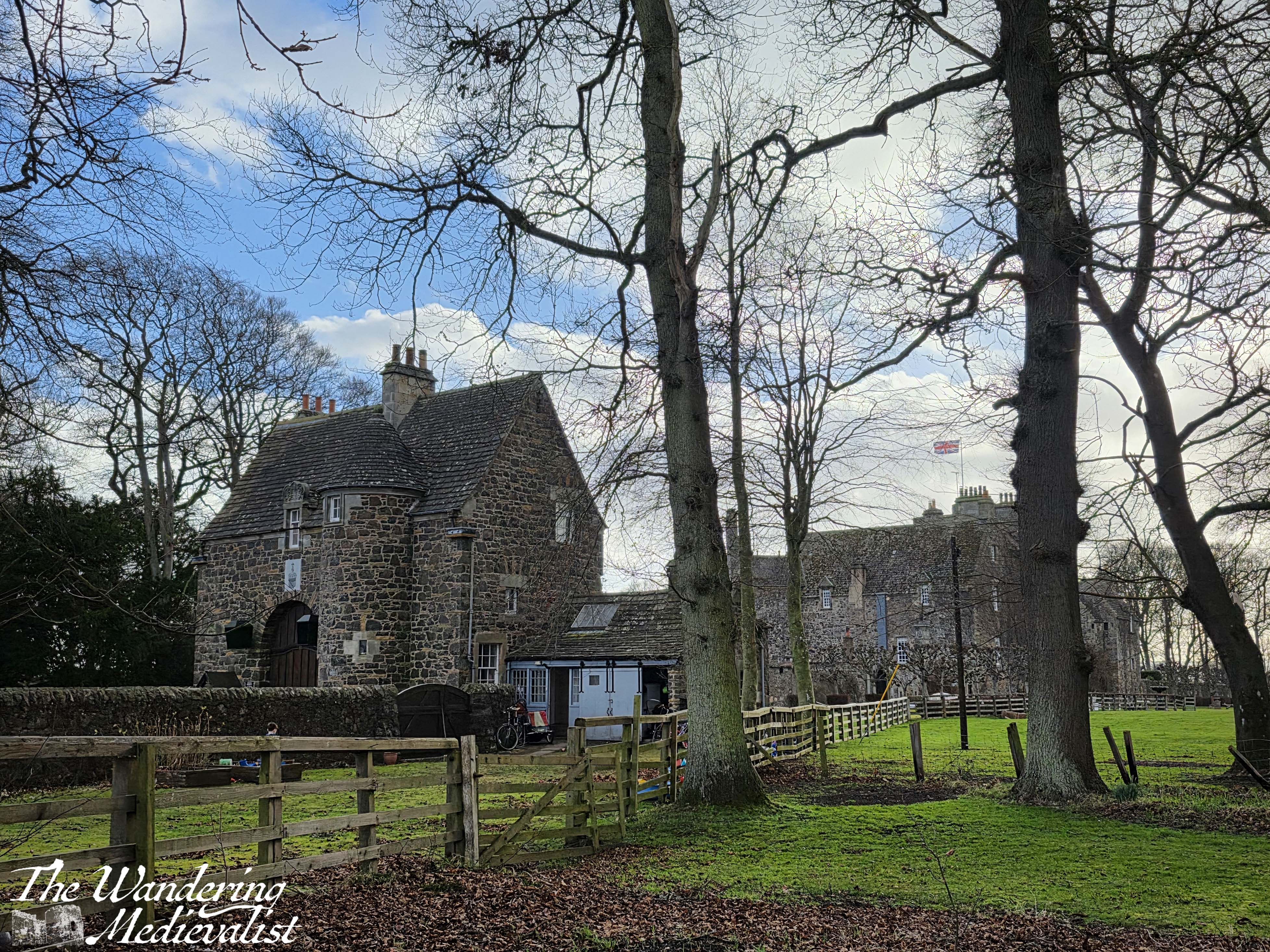
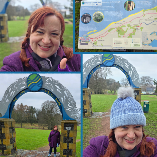
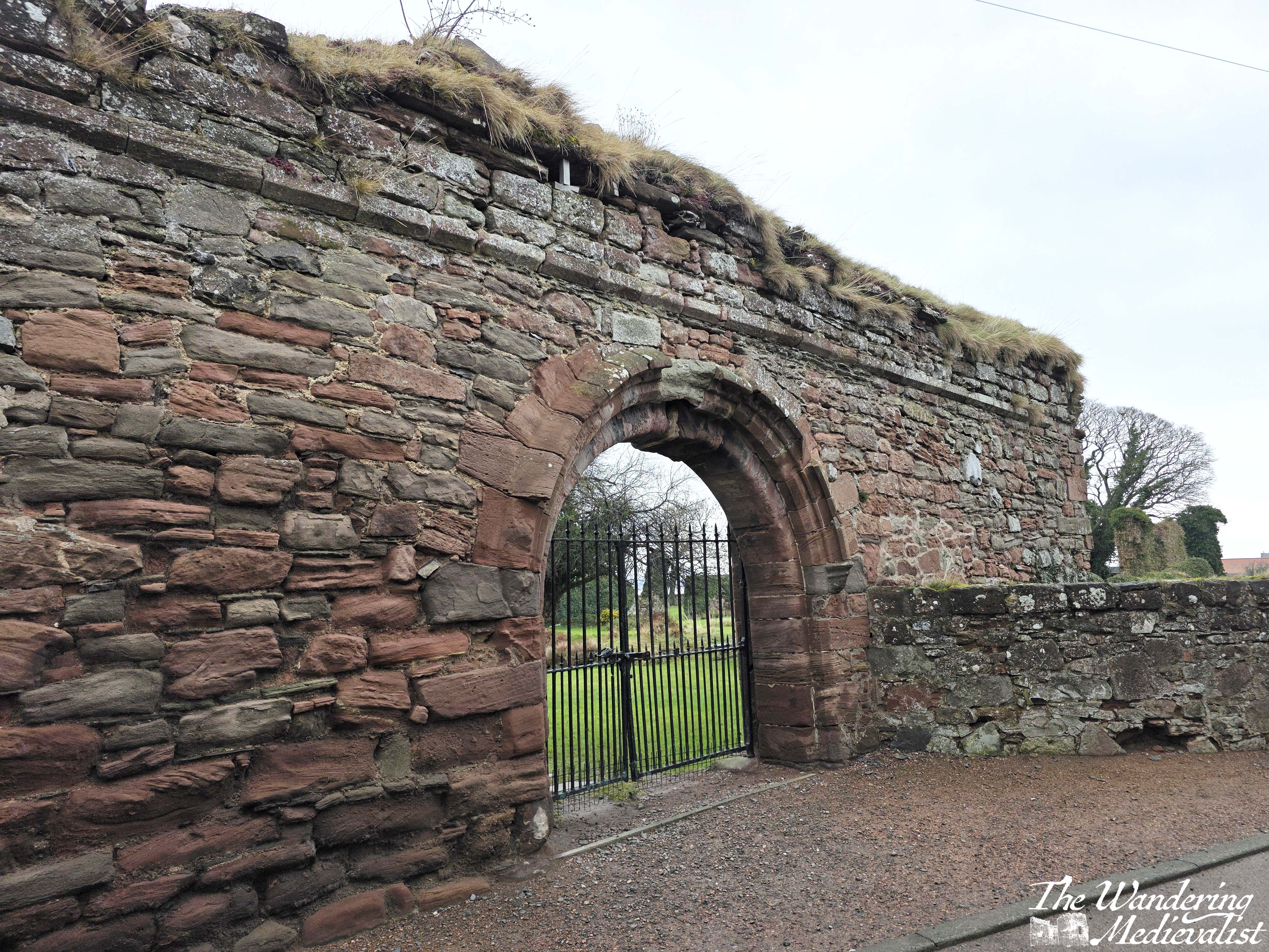
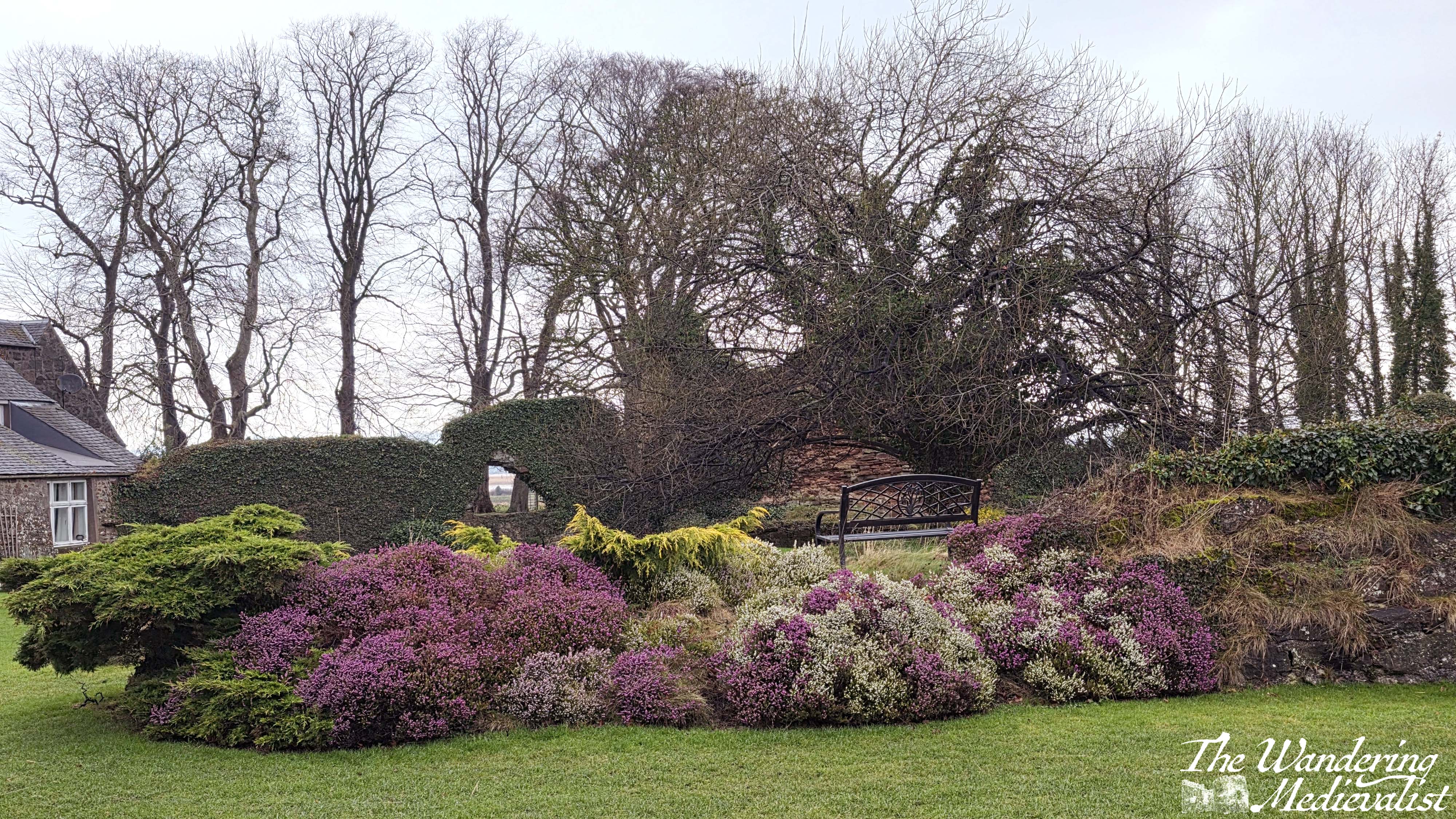
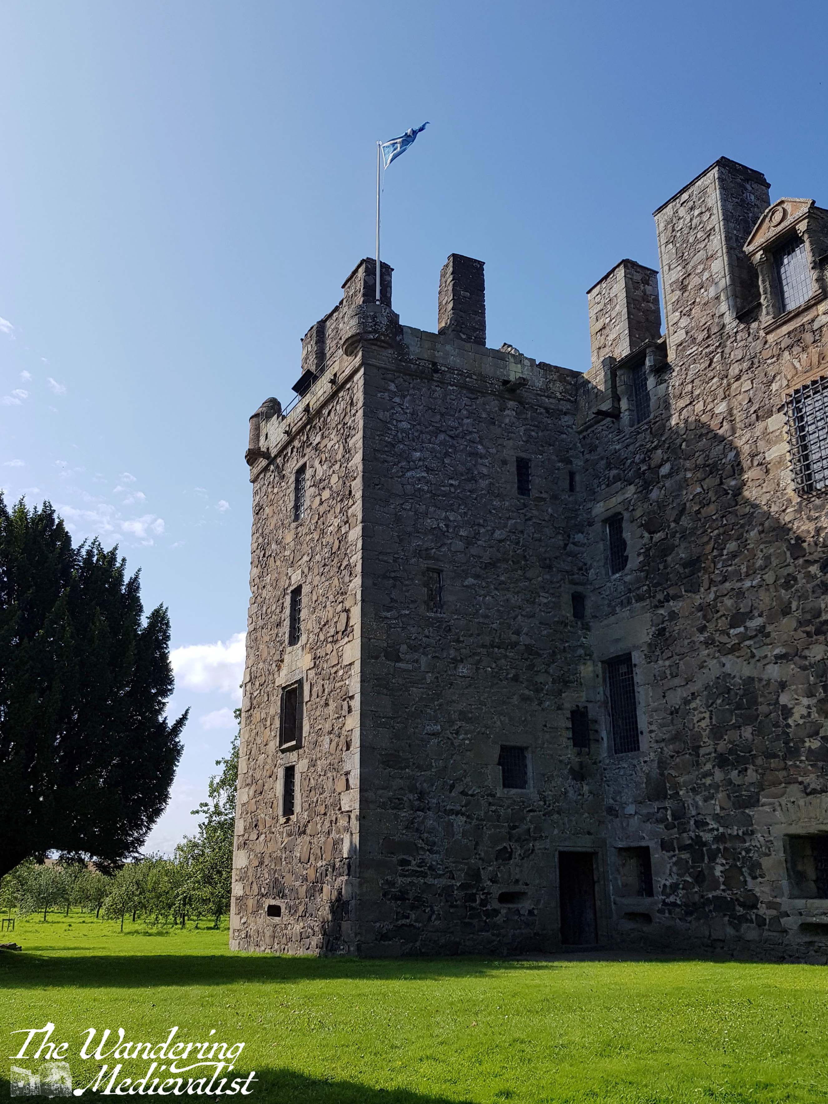
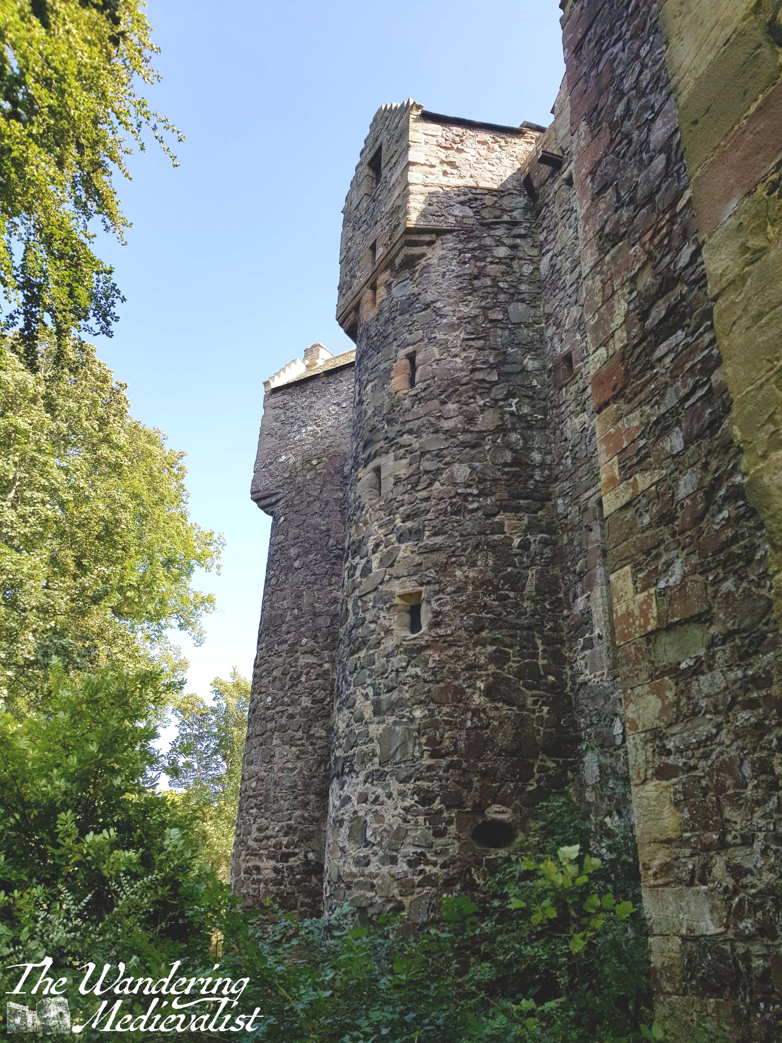
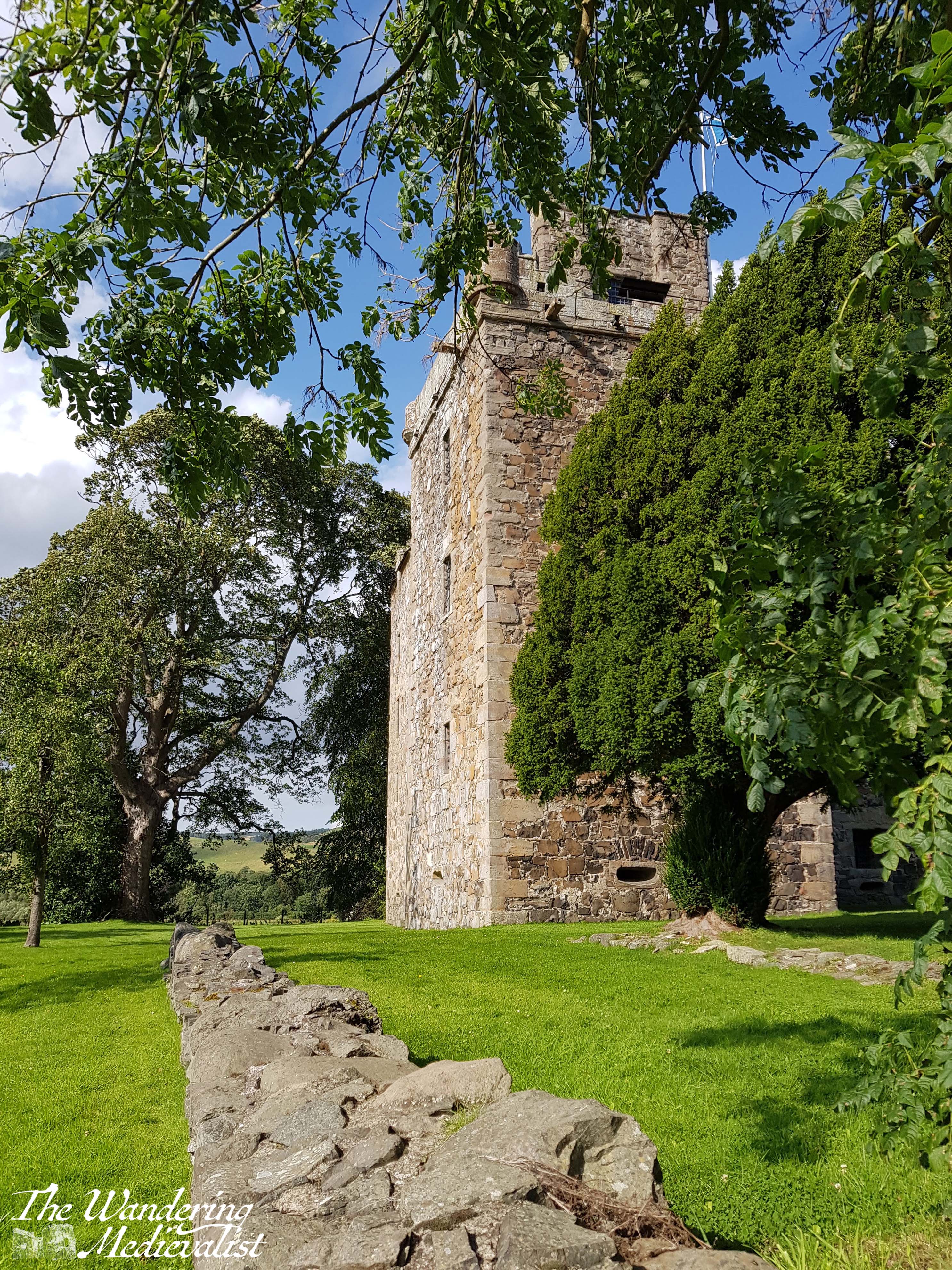
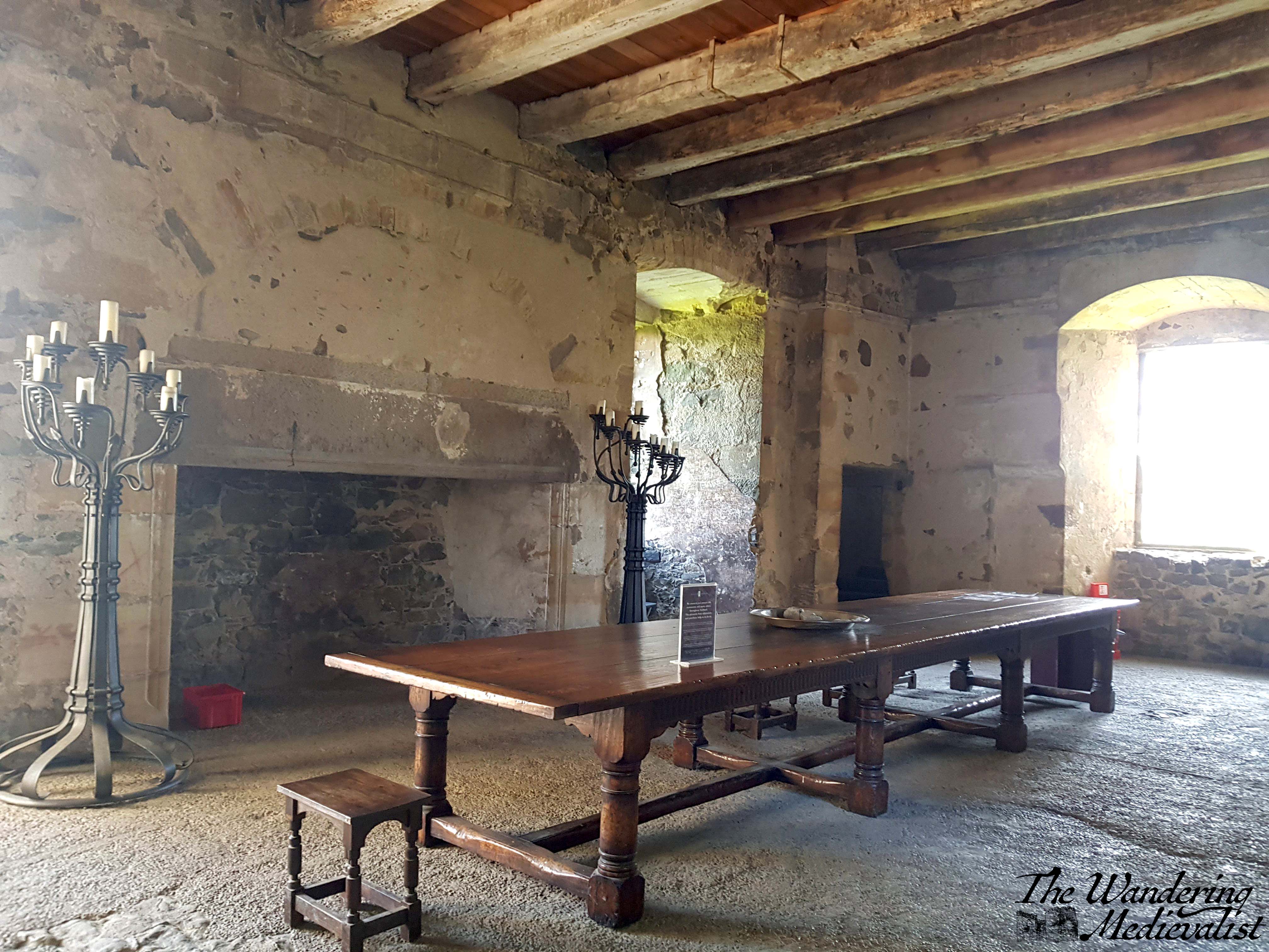
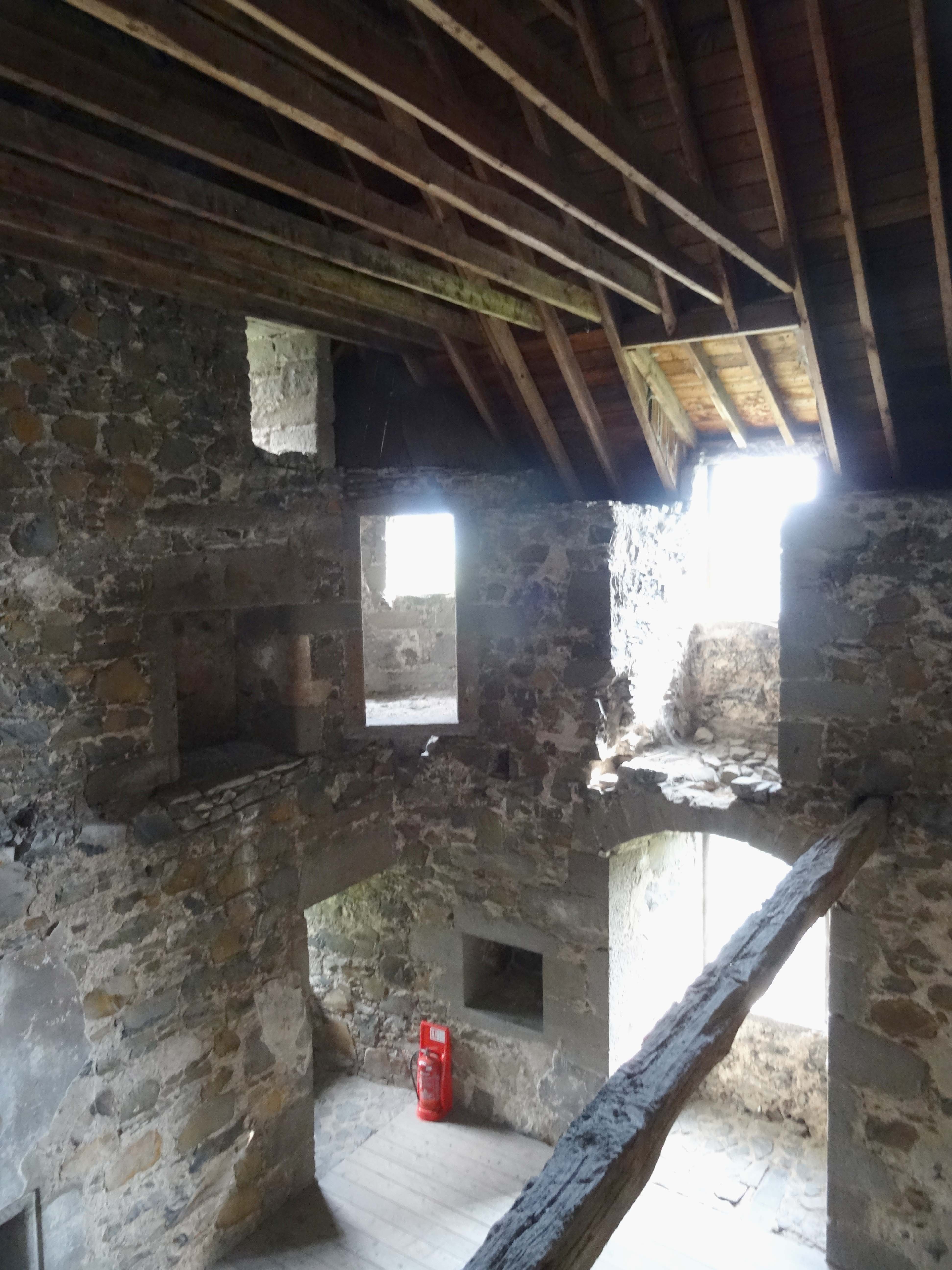
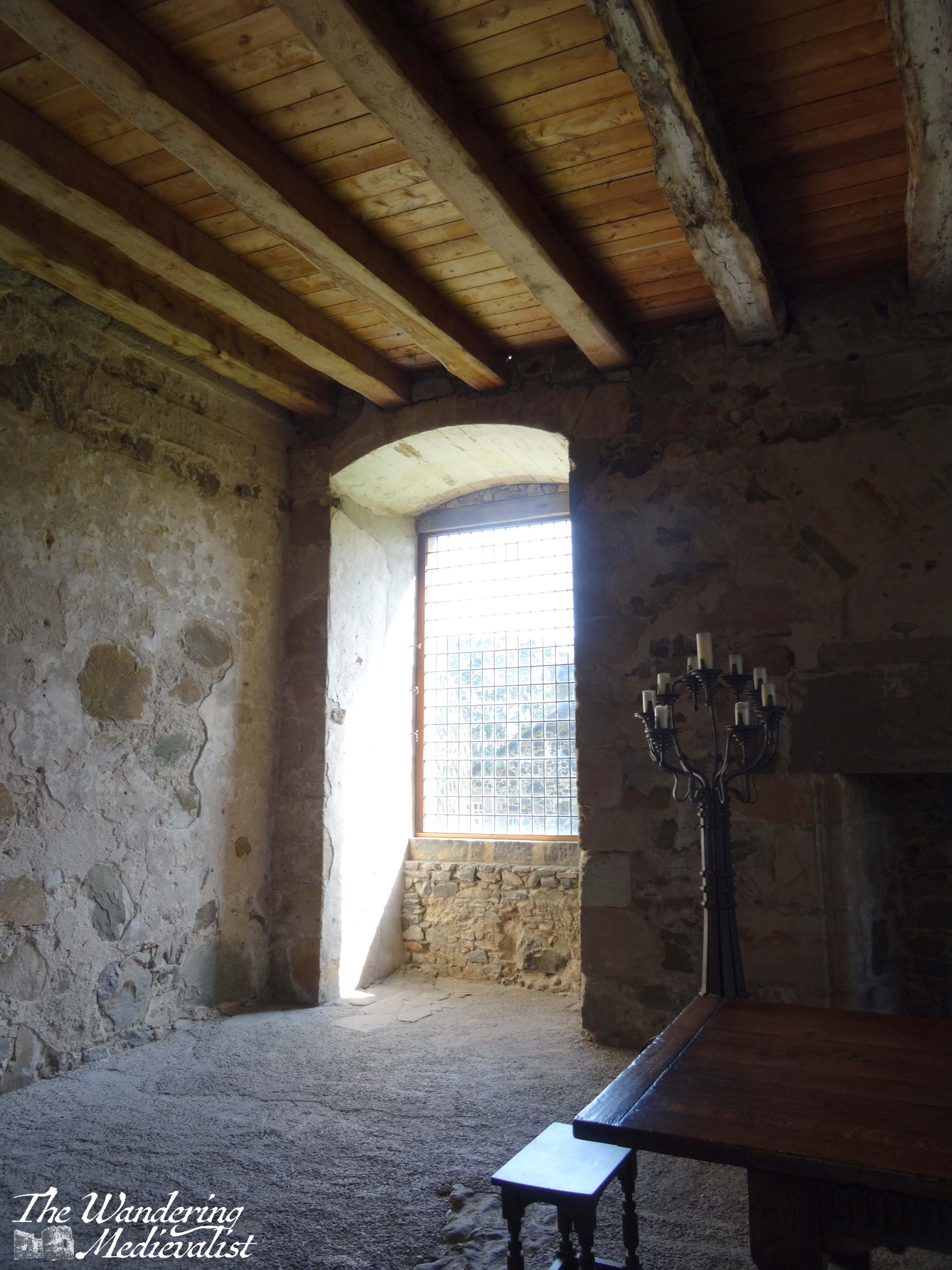
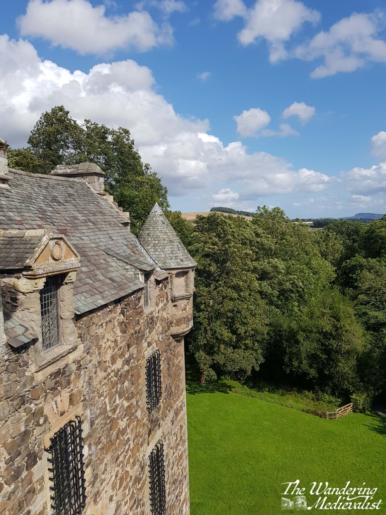
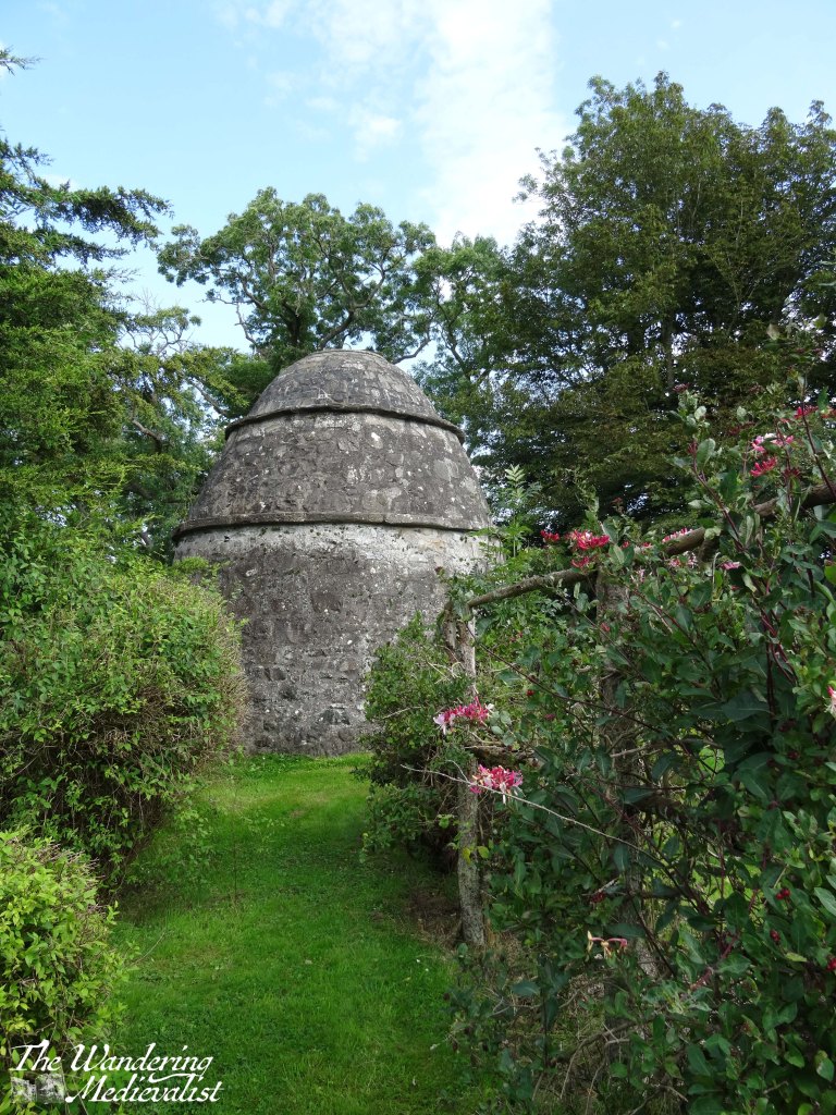
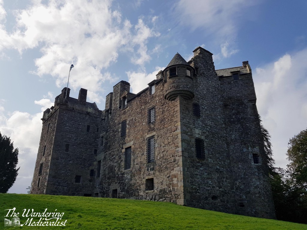
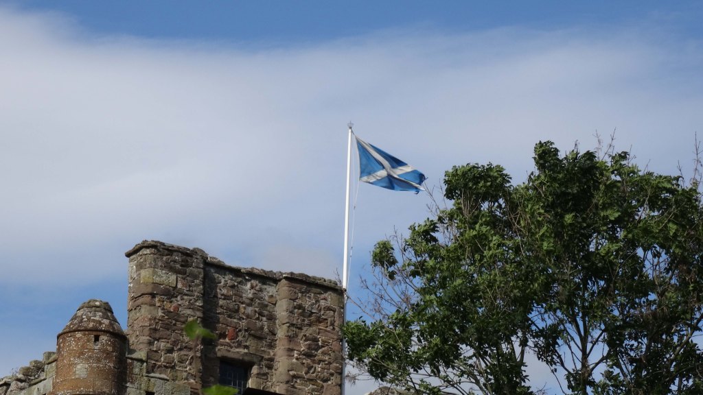
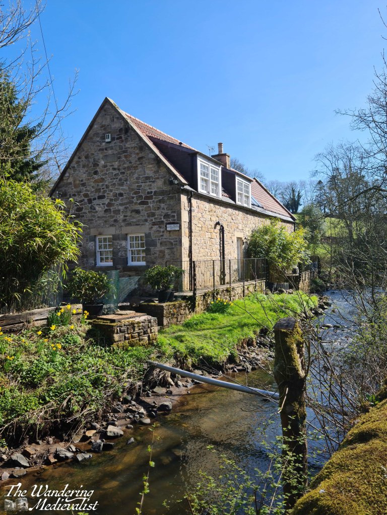
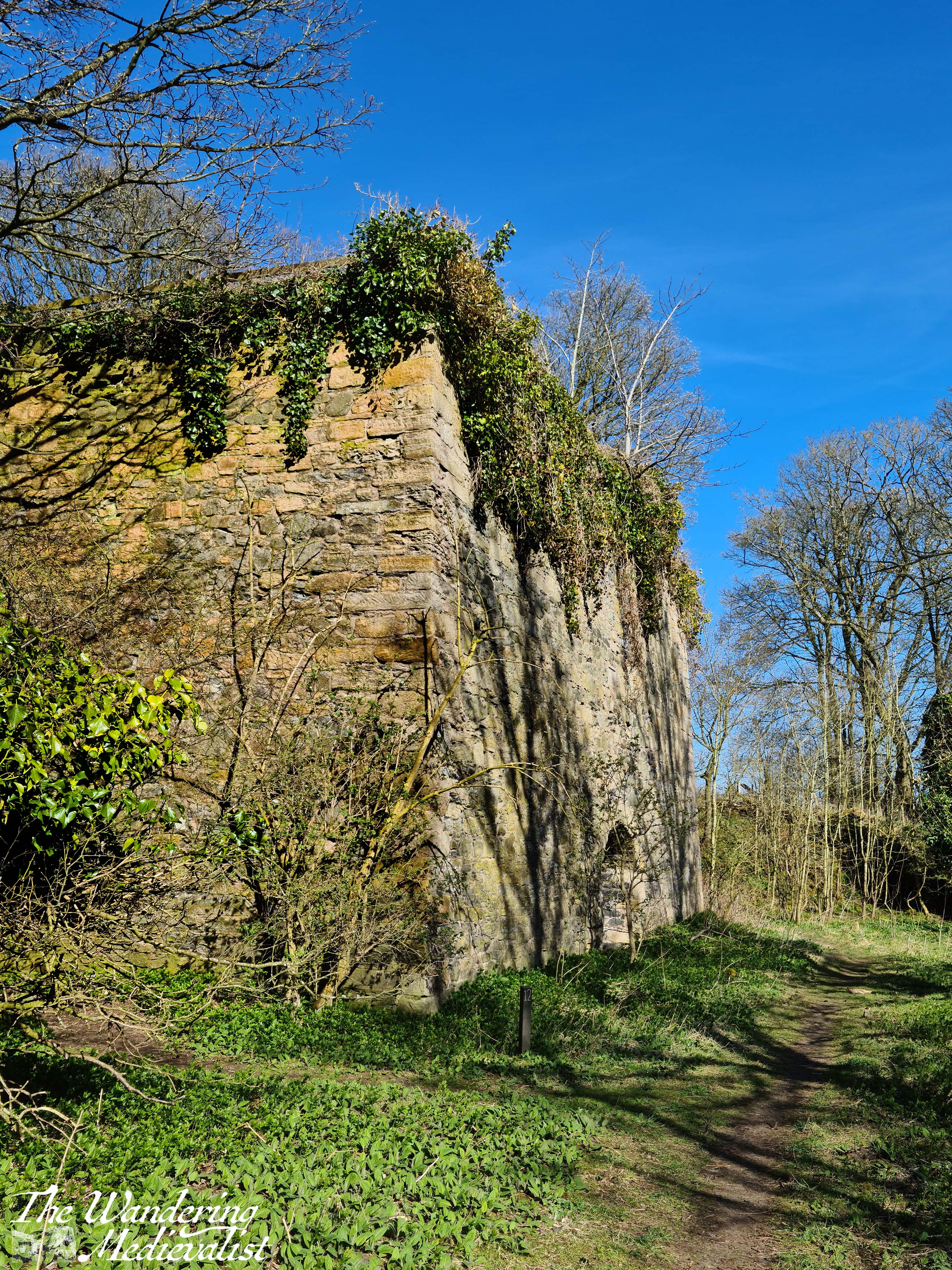
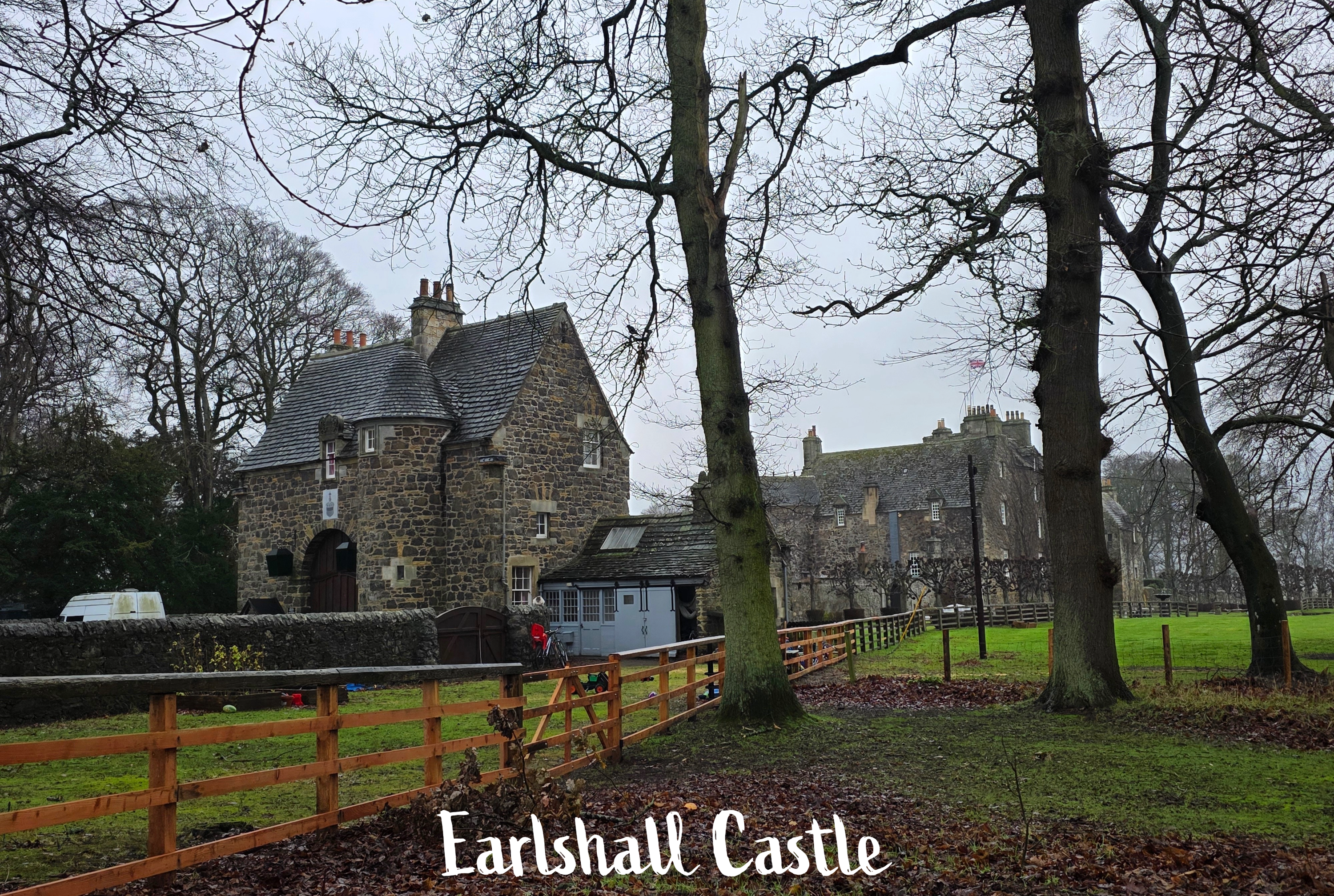
Finally, after a bit more drama than I expected, I reached the castle grounds and started my official walk recording. I cannot recall now if I mentioned much about the castle itself last time I did this walk; it is a relatively ‘new’ castle as Scottish castles go, built in 1546 by a Sir William Bruce, a survivor of the devastating Battle of Flodden. This battle is infamous for the death of King James IV of Scotland, who is the last monarch in Great Britain to die in battle (surpassing Richard III by about 30 years). More a mansion than a castle, Earlshall was built in the ‘courtyard’ style, and is still in good shape. It is also, apparently, for sale; if only I had £8 million to spare.
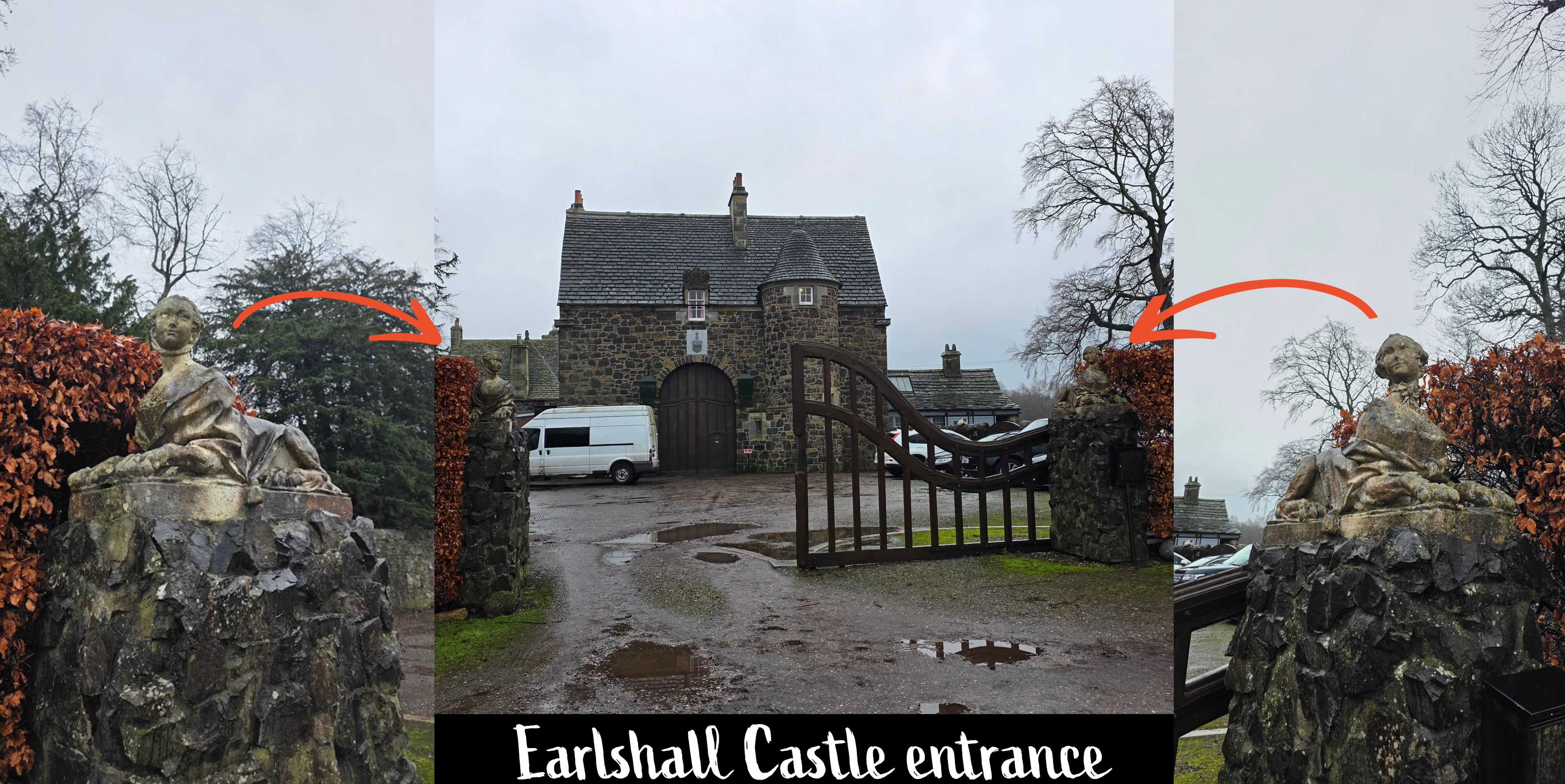
The gated entrance is graced on both sides by carvings of a lord and lady; I stopped for a moment for the below pictures before continuing on my way.
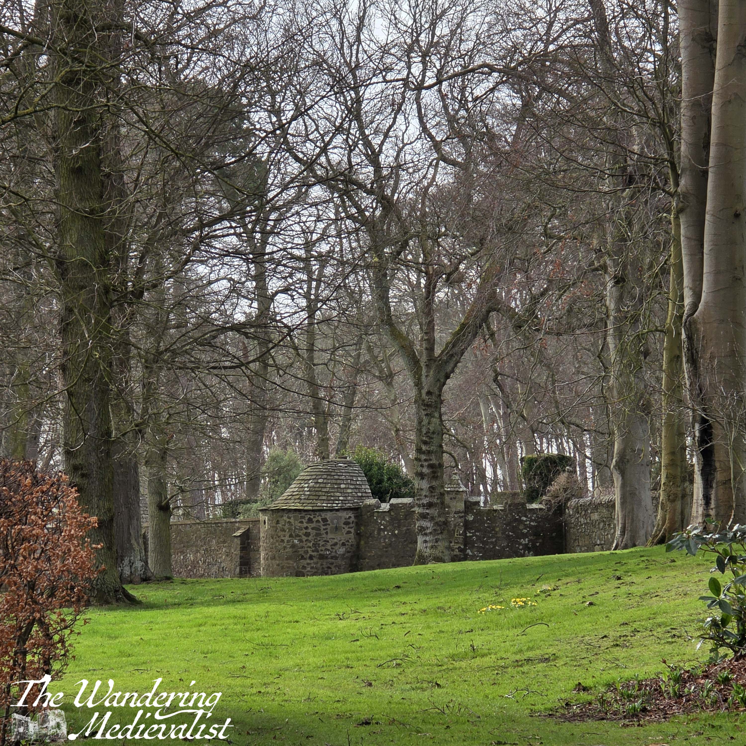
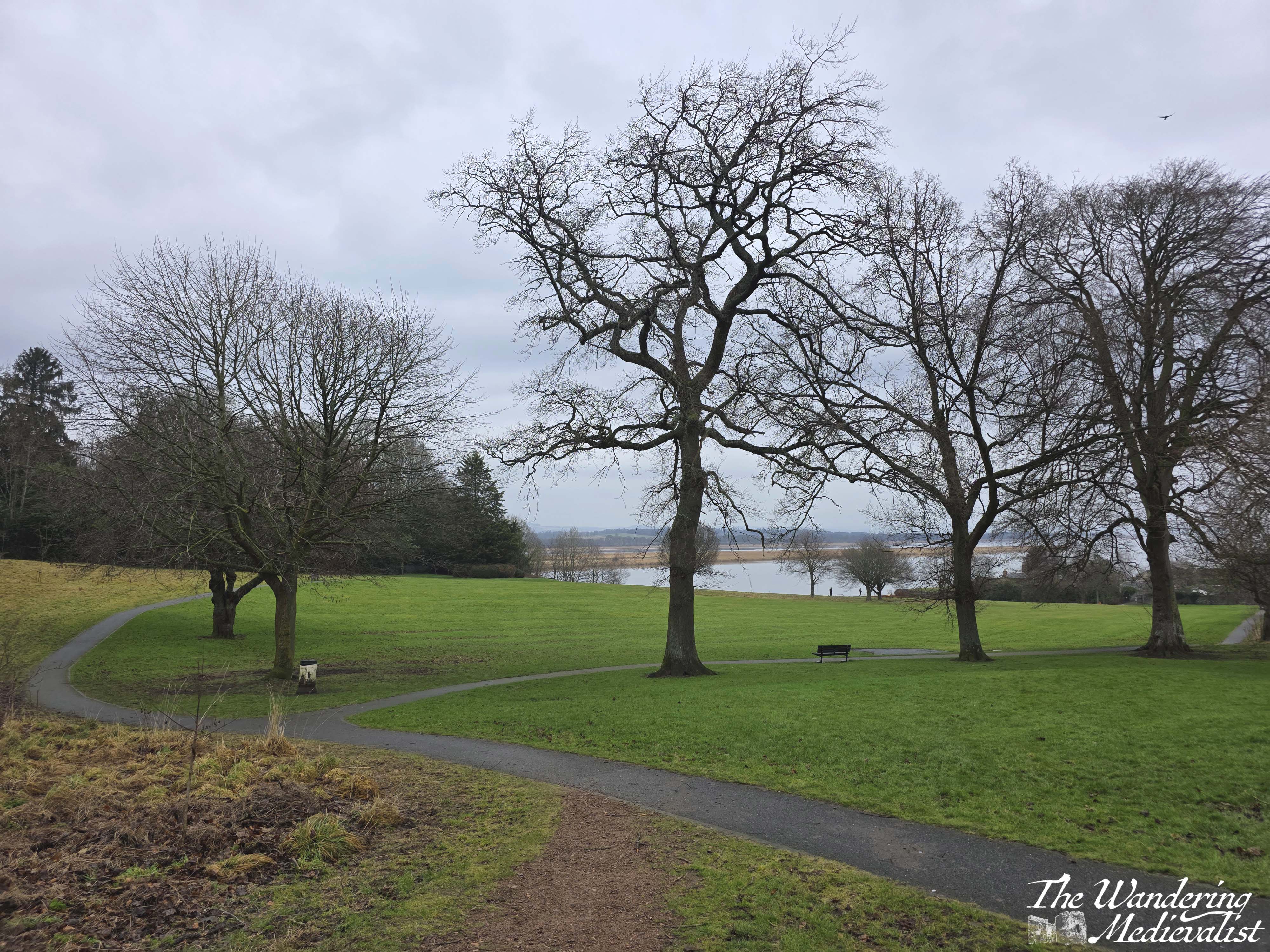
The path at this point leads along a single track road with the estate wall on one side and open fields on the other. One concern on days like this is that with a hood up, it can be difficult to hear approaching vehicles, so it can be a touch treacherous on a narrow stretch like this. Fortunately, I did not encounter a single car.
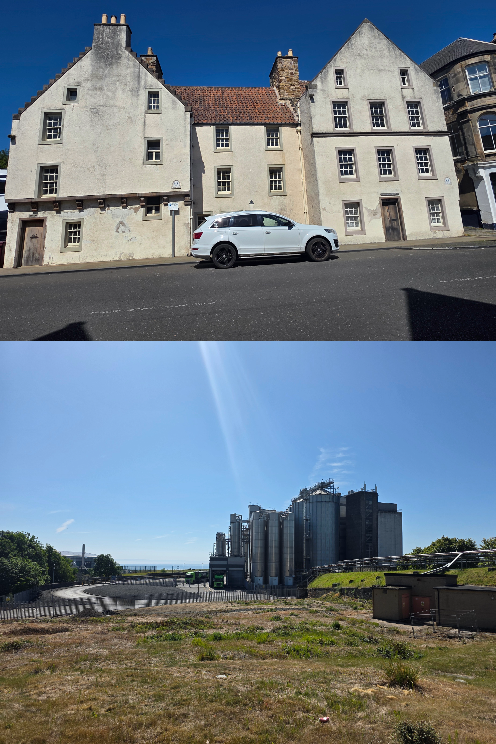
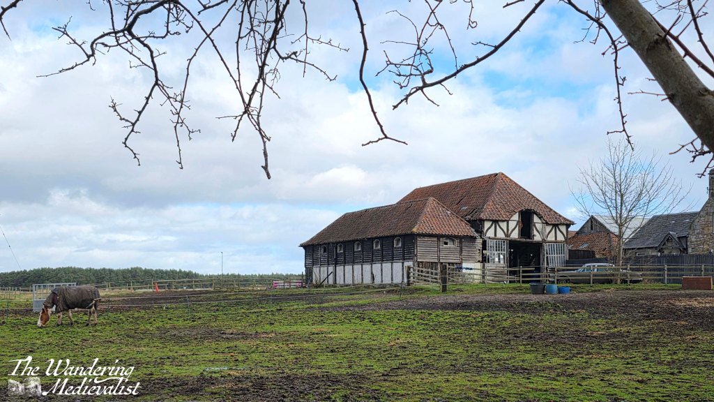
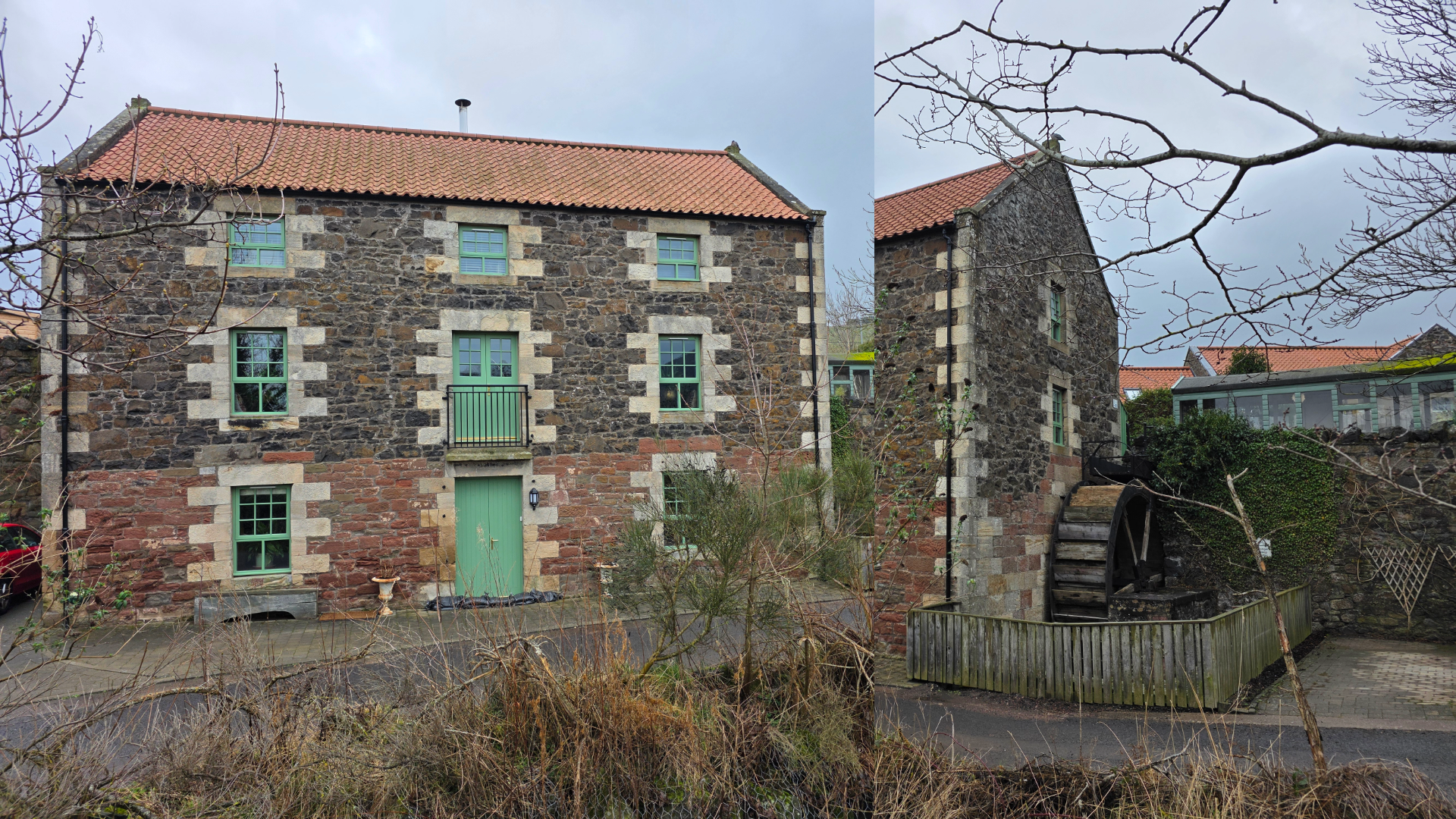
Ahead on the left as I approached the edge of the army base is a beautiful old Tudor-style barn which I would love to know more about, but can’t seem to find any information about.
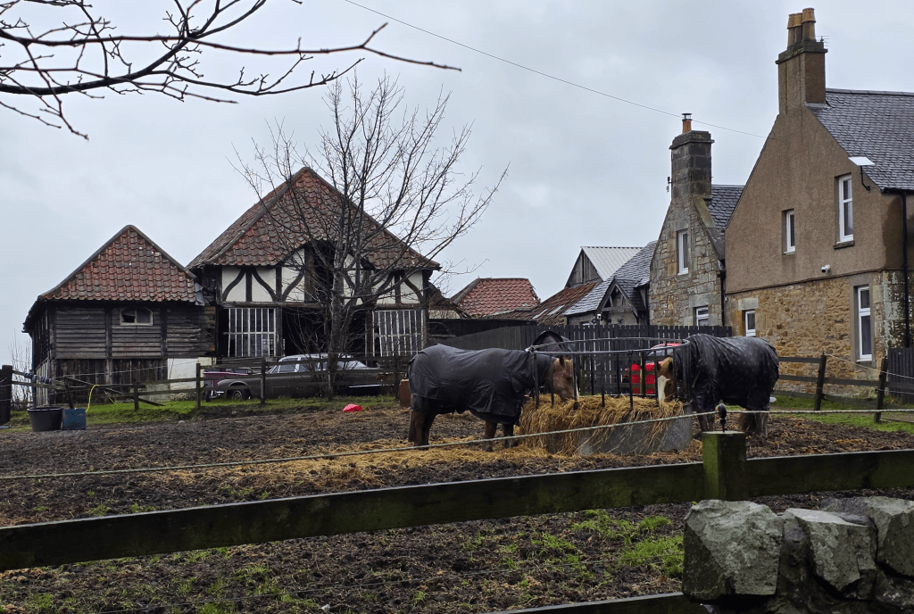
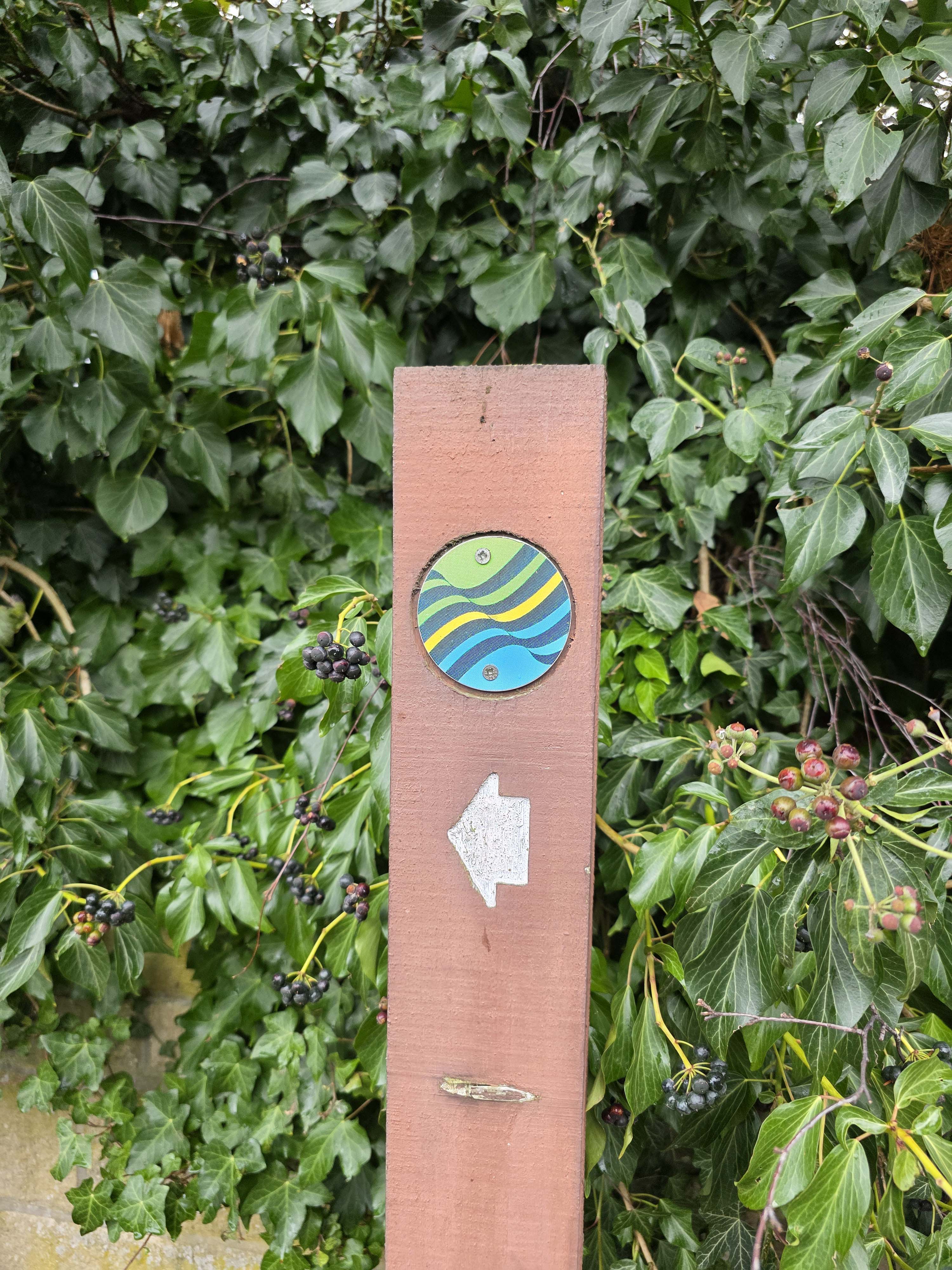
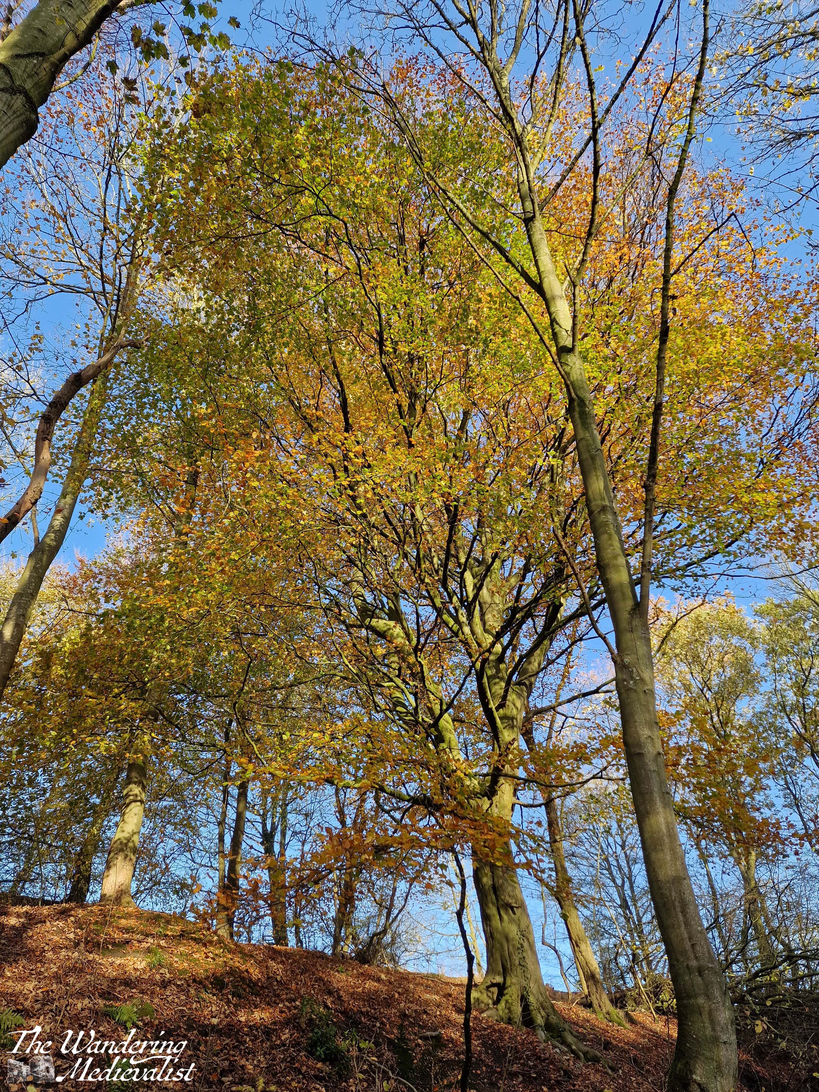
Just beyond the barn, the first sign of the actual Coastal Path route leads through a gate and along a track that runs between the base fence on one side and the farm on the other. The fields beyond are the home of several horses and I think a pony or two. In this short section without trees, the weather issue for the day quickly became not the rain but the wind, whipping across the open land of the army base. Once safely inside the treeline it calmed a bit, but I could hear it in the treetops, and they were dancing about a touch violently whenever I looked up.
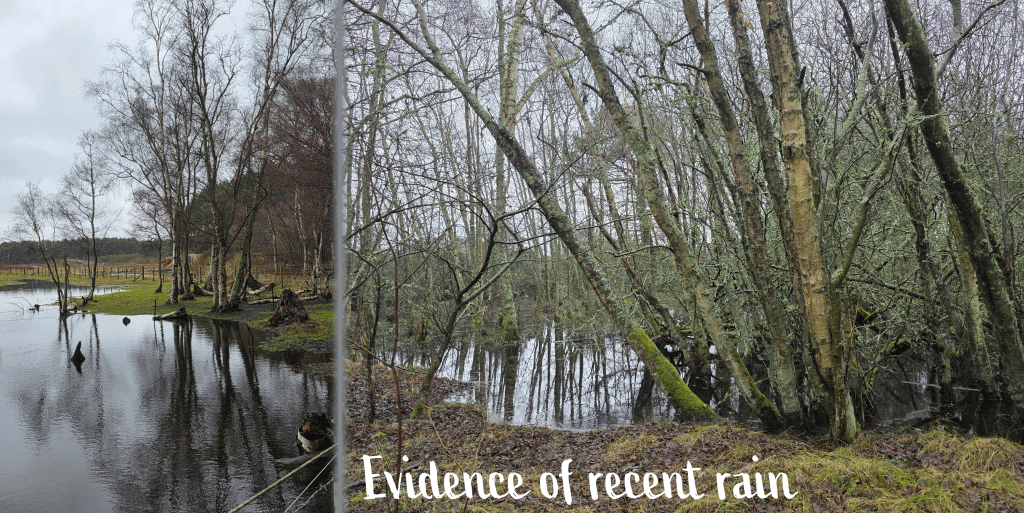
The excessive rain of the last few weeks was evident along the path, with large puddles in the fields and under the trees, areas that might normally be a bit boggy but now are flooded.
Fortunately the trail was in relatively good shape, not too muddy – at least at this point. As I emerged from the trees, I was hit immediately from one side by the wind, but surprisingly it was less bitter than I expected. I was quickly reaching the point of no return, after which going back would be more work that pushing on, and despite the discomfort of my boot, I was determined not to give up – after all, it didn’t seem to be getting any worse (or so I thought). I could tell that my body wasn’t really into the walk – it was complaining more than I expected and I’m not sure if it was the wind or the cold, but the endorphin rush never really hit. It had very evidently been a while since I’d done exercise like this, with the shorter walks I did over Christmas not really measuring up.
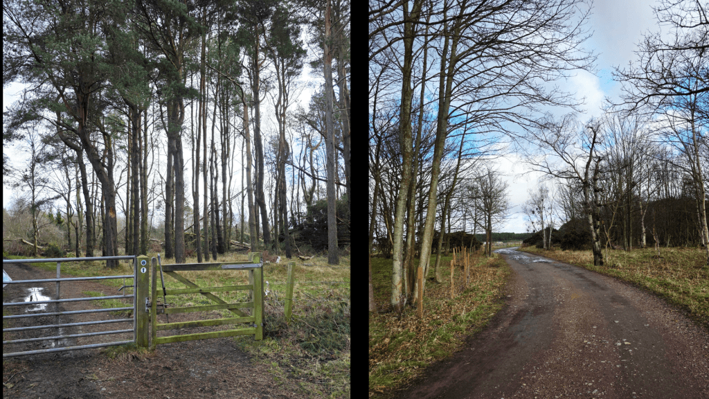
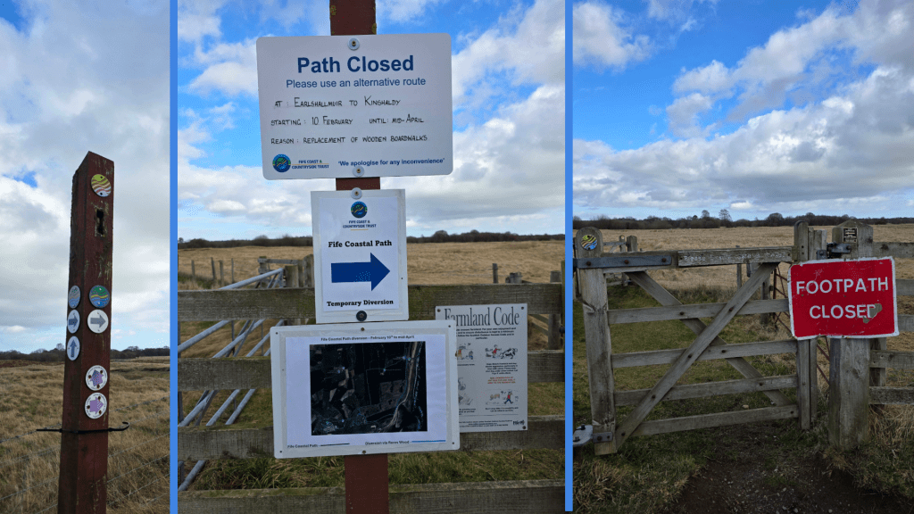
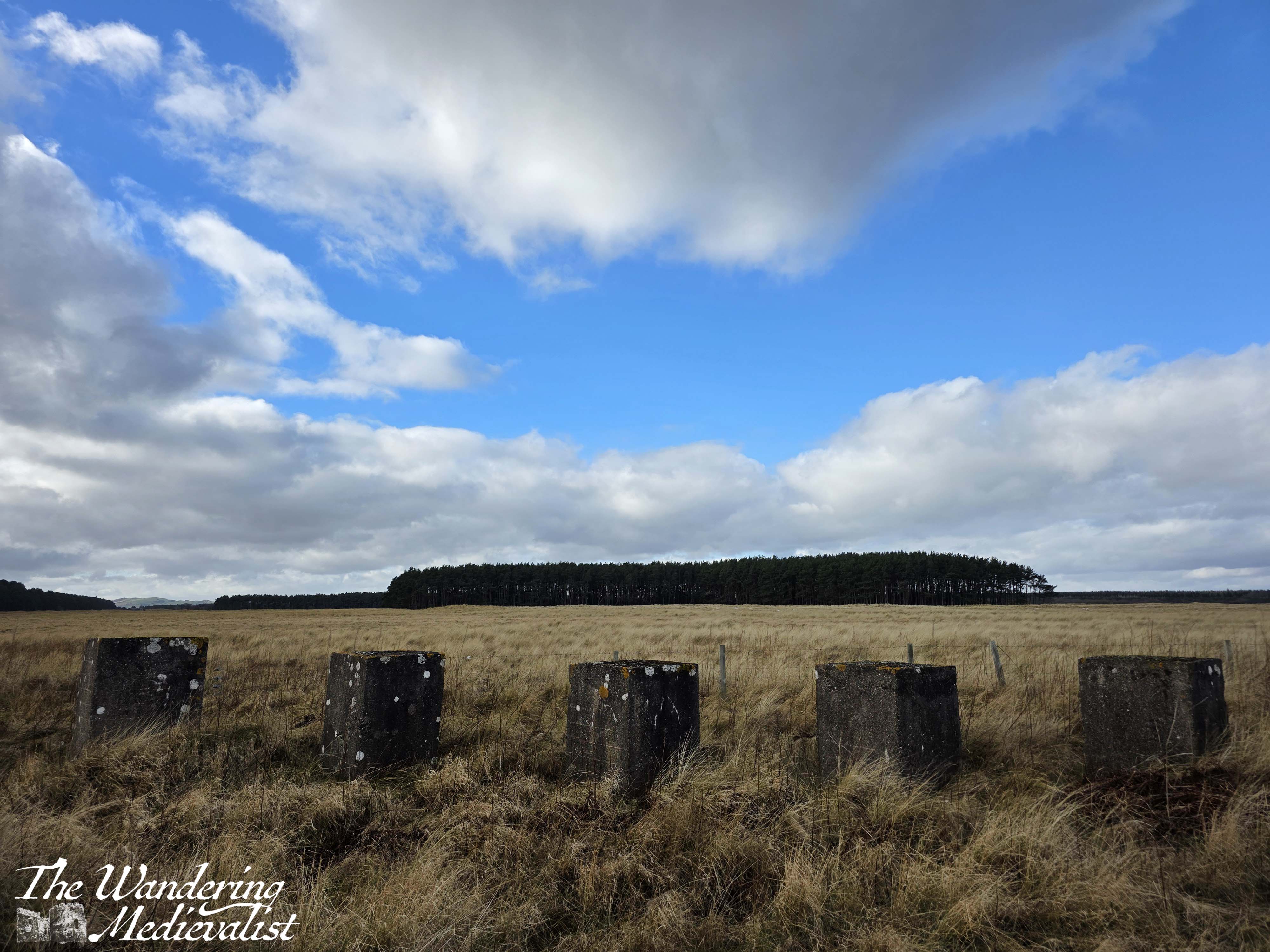
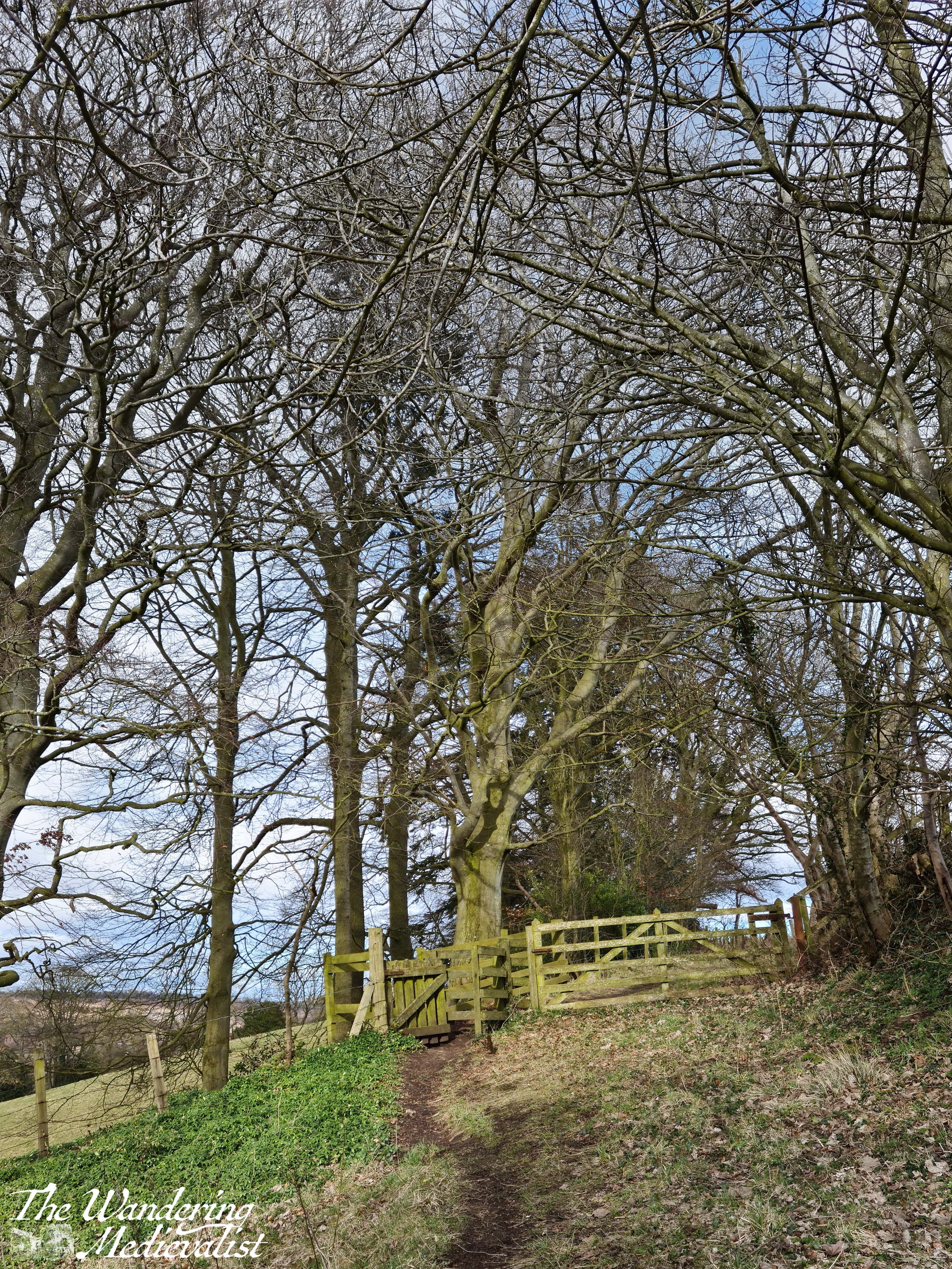
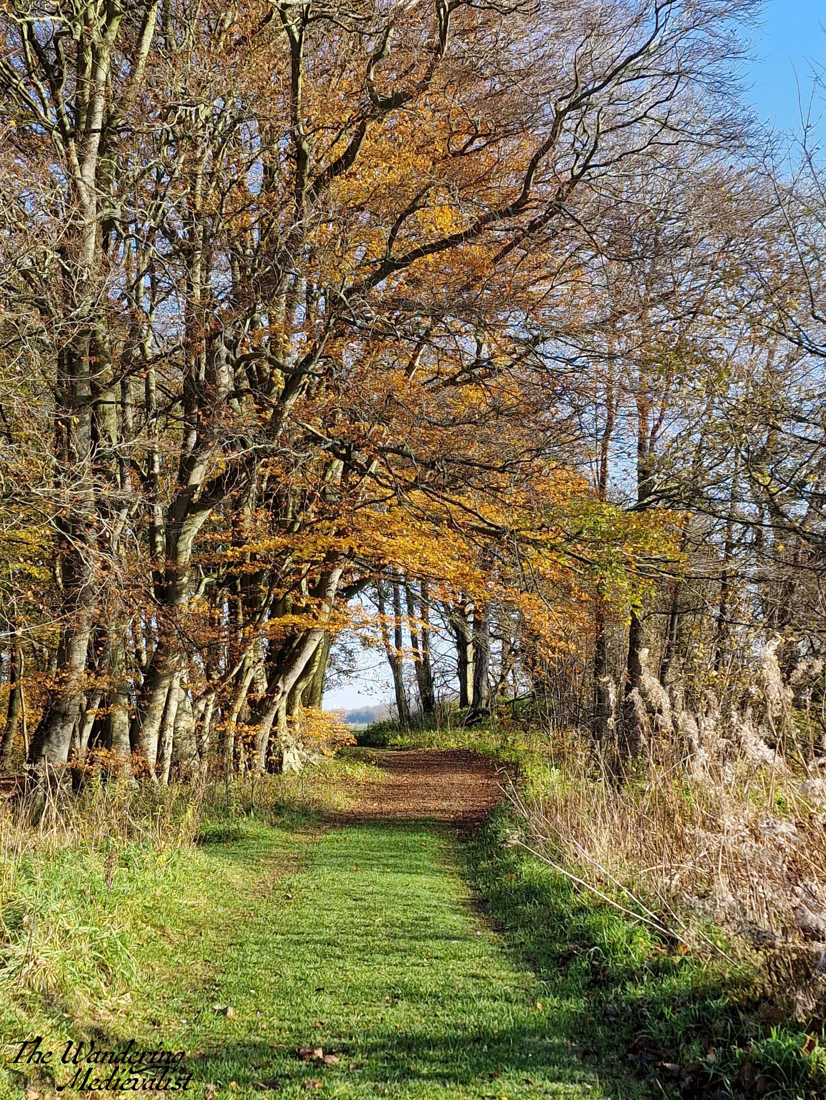
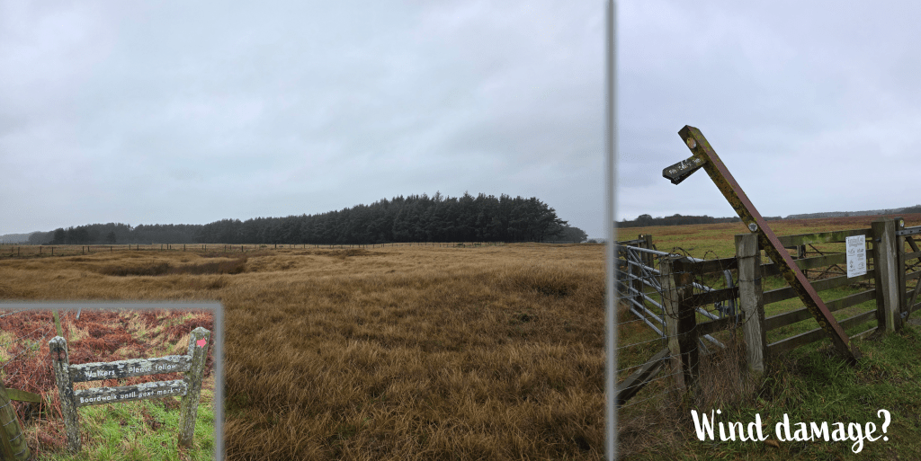
Just under a mile after leaving the castle, I reached the gate where, on my last attempt, I had been forced to take a detour. Fortunately, this time I knew I would be able to take the standard path, as I had seen the update on Facebook that the boardwalk was fully repaired. The sign directing walkers had suffered a bit of wind damage, but the path was clear nonetheless. I passed through two sets of gates and struck out across the field between two fences; the trail rises and falls over hillocks and grass clumps, much more uneven than the farm track.
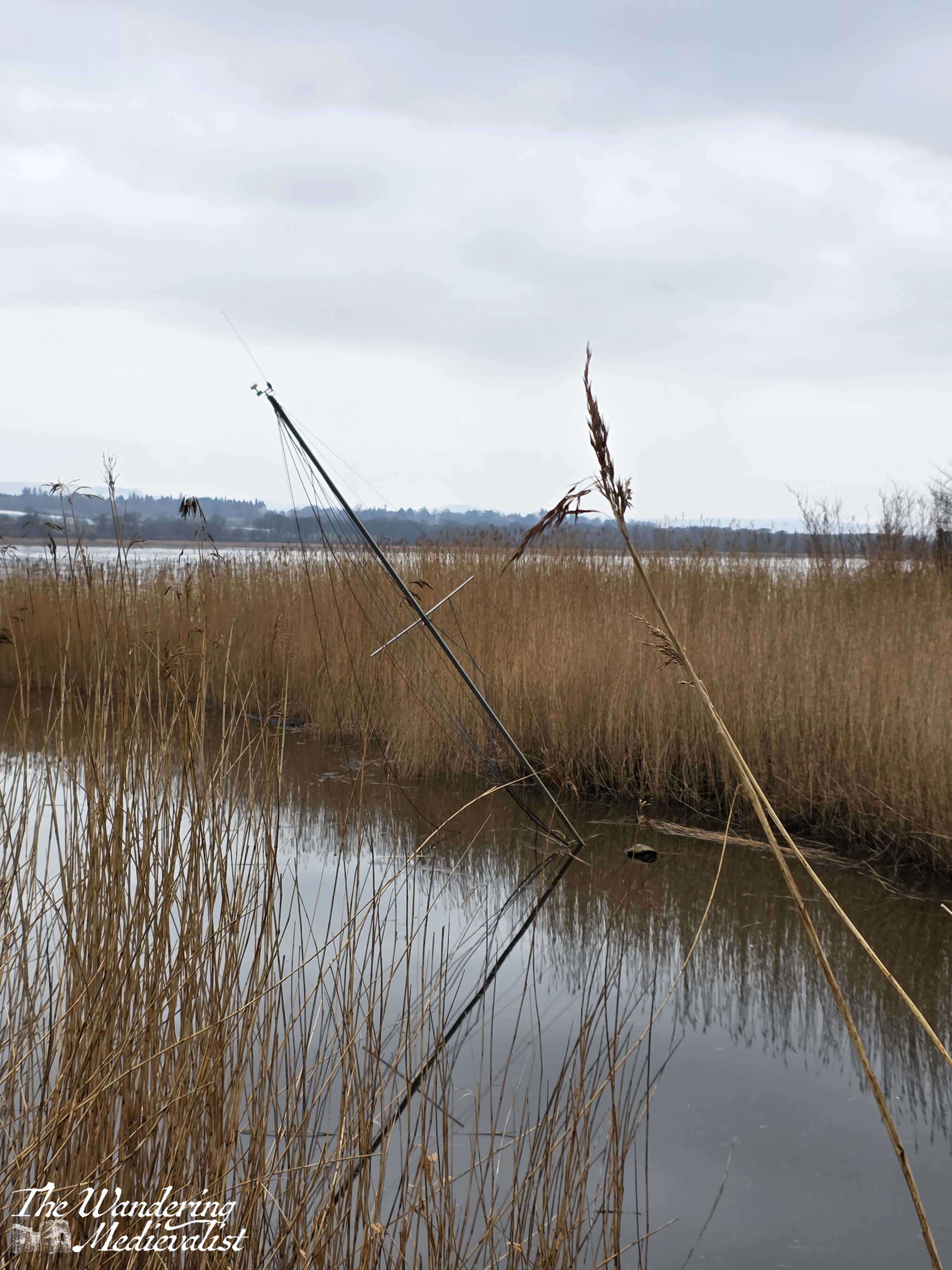
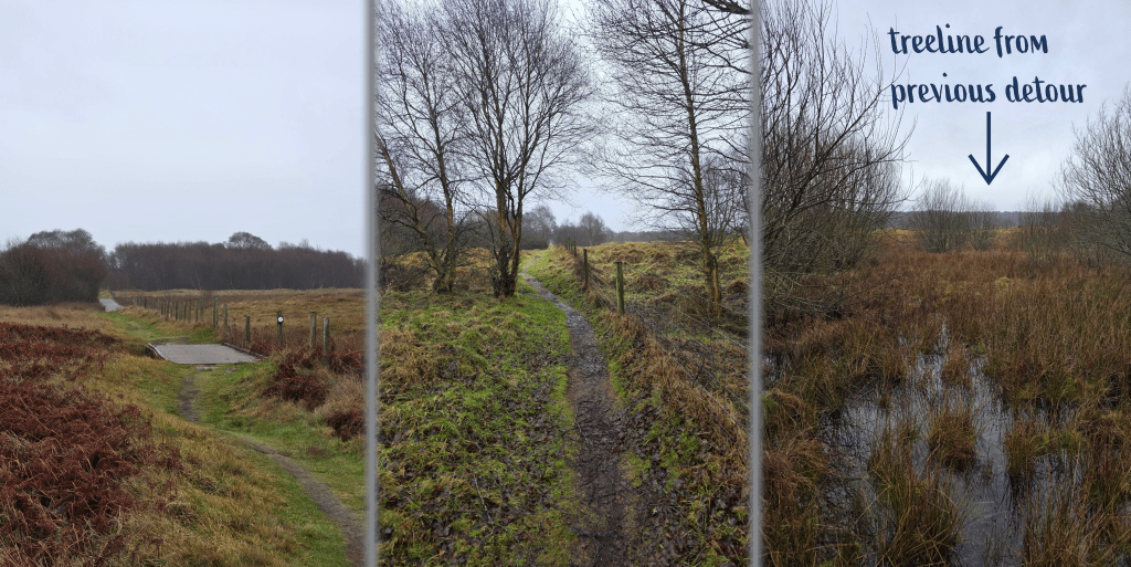
After a short straight bit that leads at an odd angle away from the farm track, there is a sharp right through another gate. Here you find a warning to walkers to stay on the boardwalk, the first section of which stretches out ahead of you. The wind is much stronger here in the open, and I while I was never cool, I was pleased to have a windbreaker. Sure enough, the boards are very new and well-kept with stripes of raised rough bits that prevent them from becoming slippery, and they pass over some very boggy areas that would be completely impassable at most times of year.
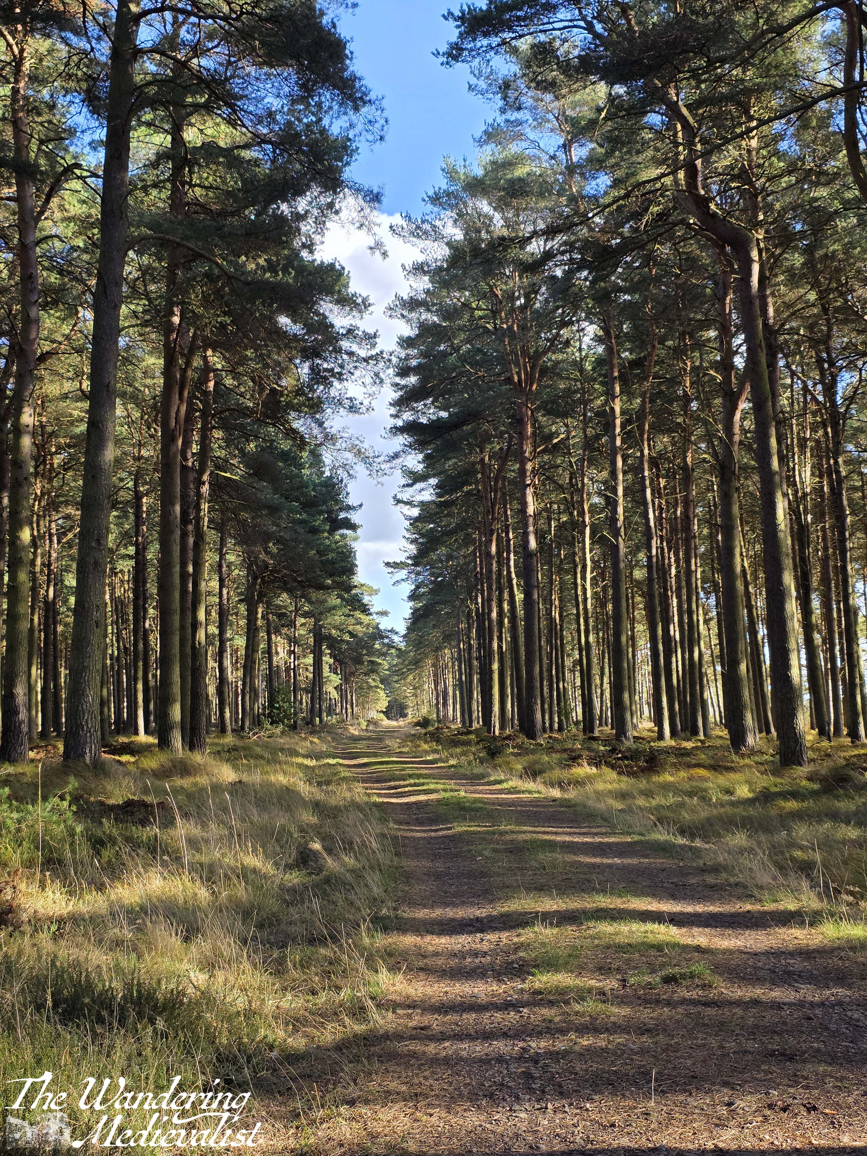
The path alternates on boardwalk sections and uneven muddy ground, following the edge of a fence and meandering through stands of trees. The direct path made me appreciate just how long the detour was that I took last year – the tree line of the forest I walked through is a good half mile or so away.
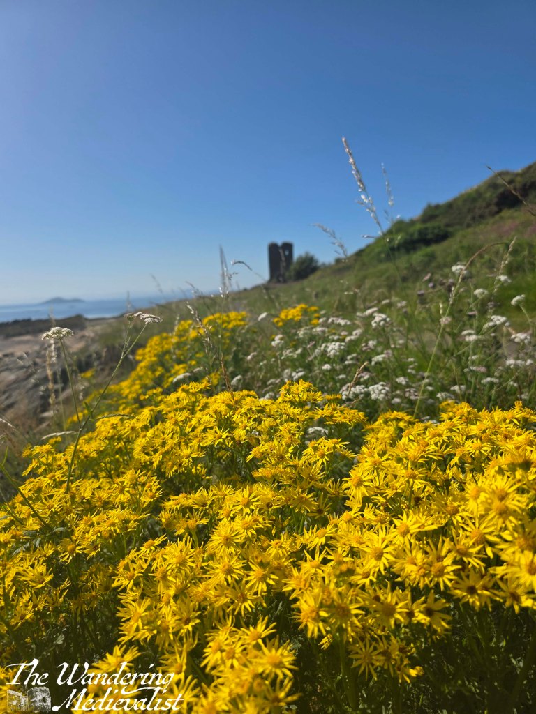
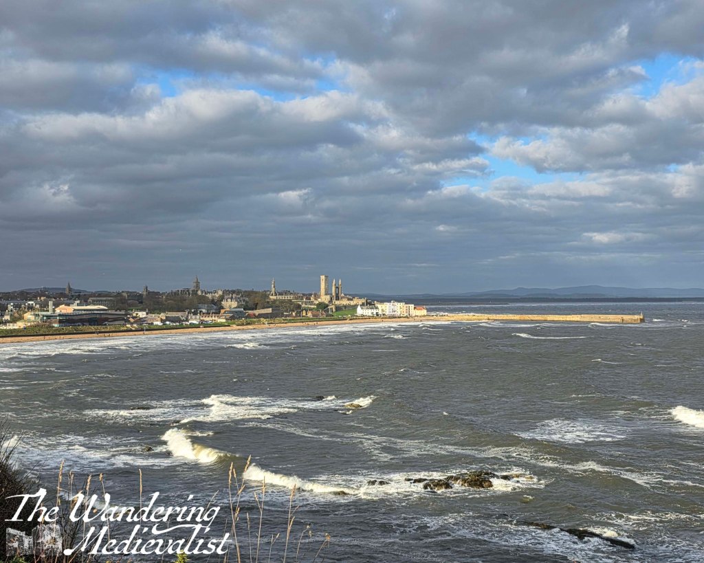
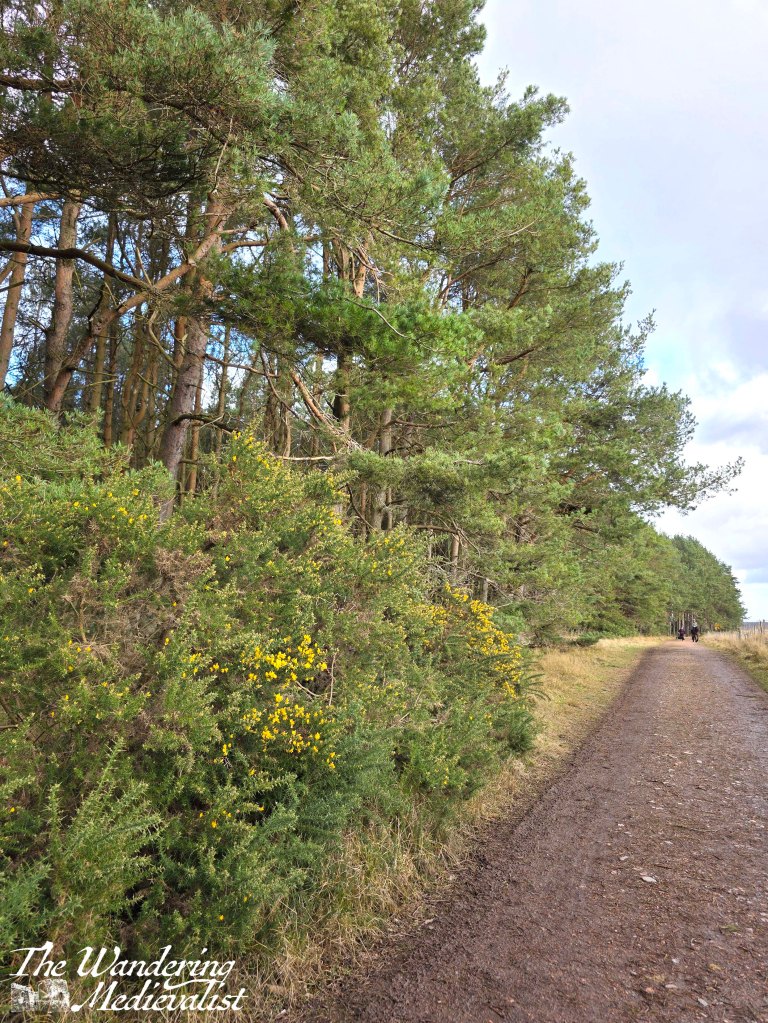
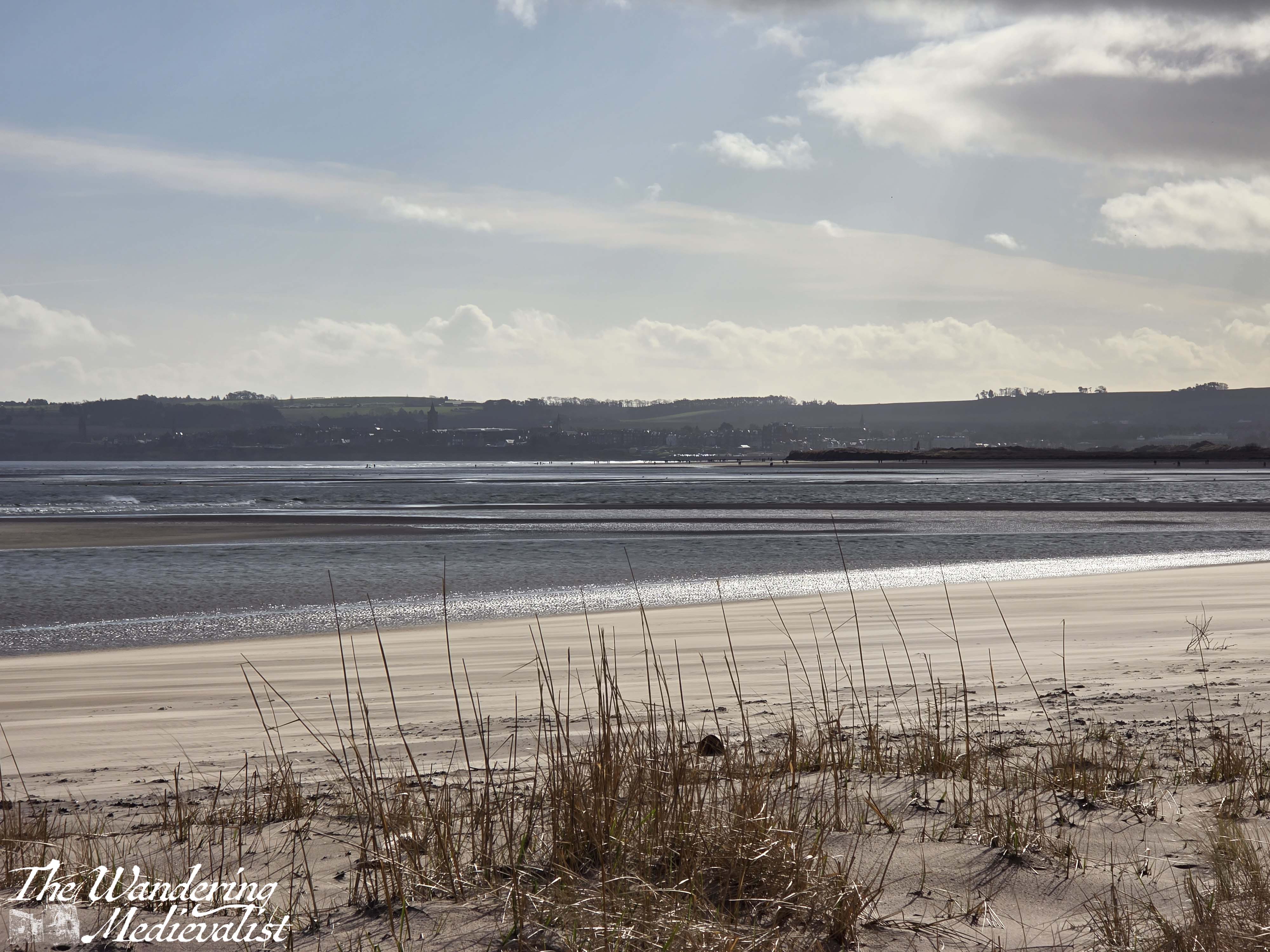
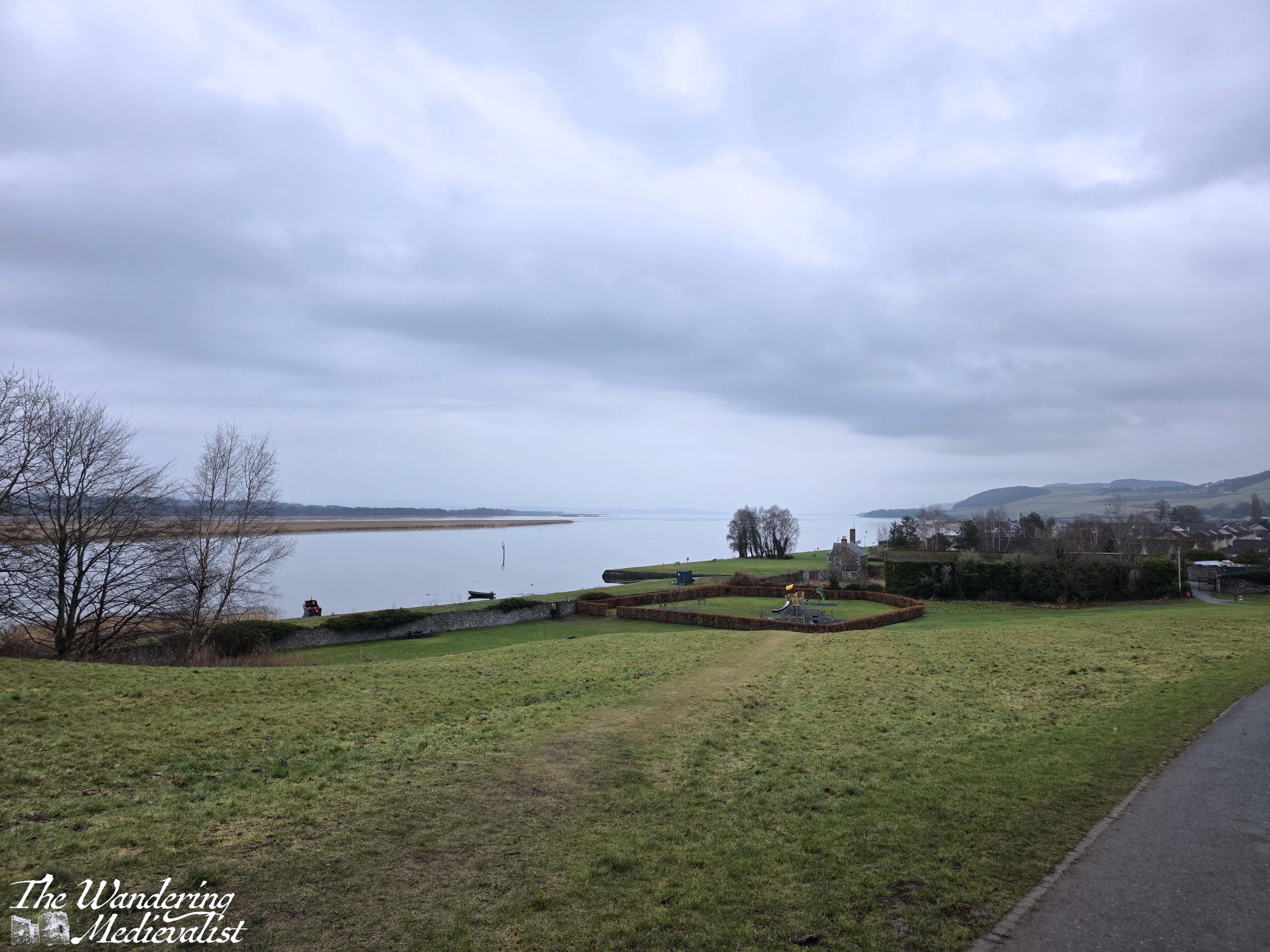
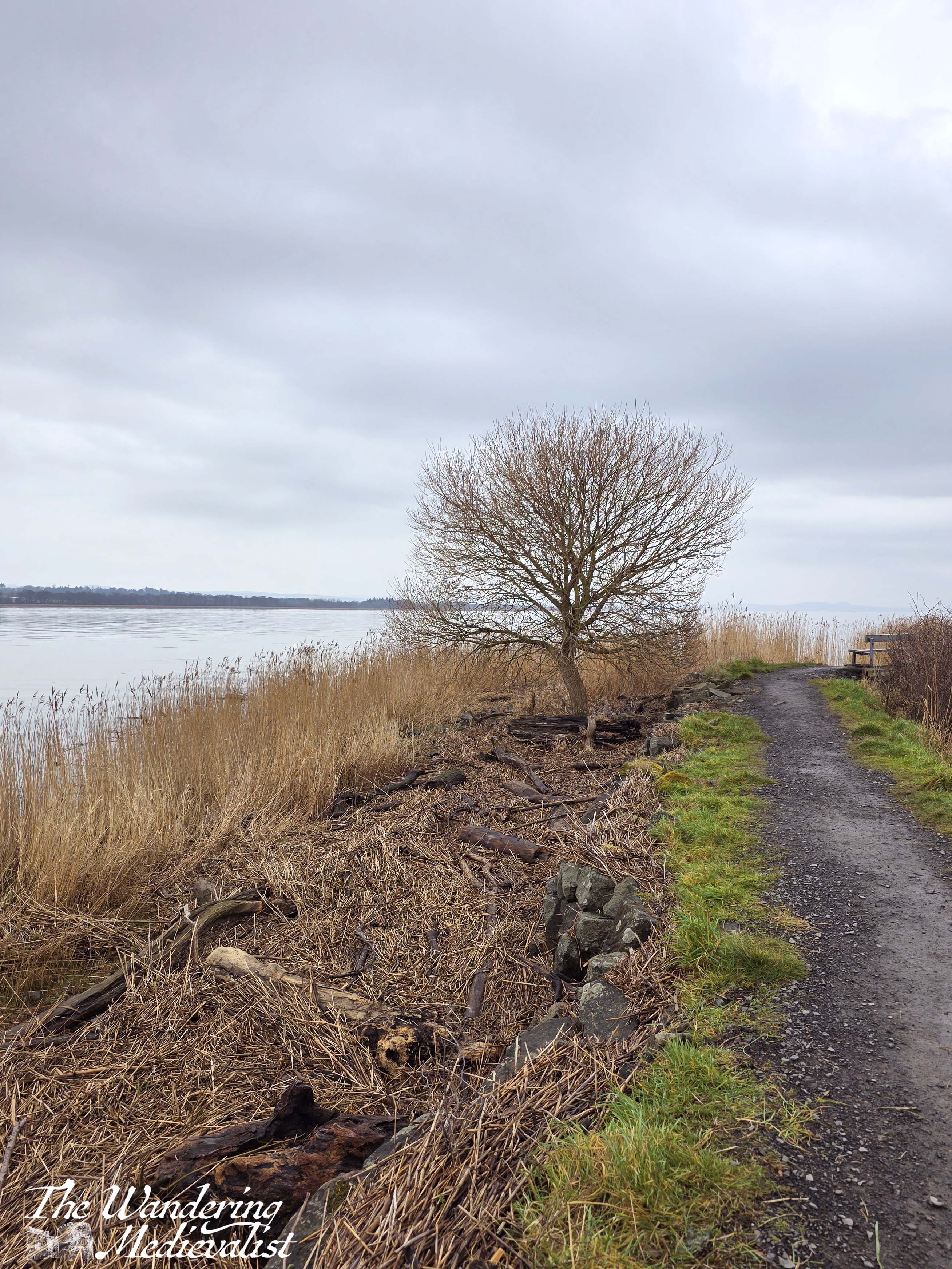
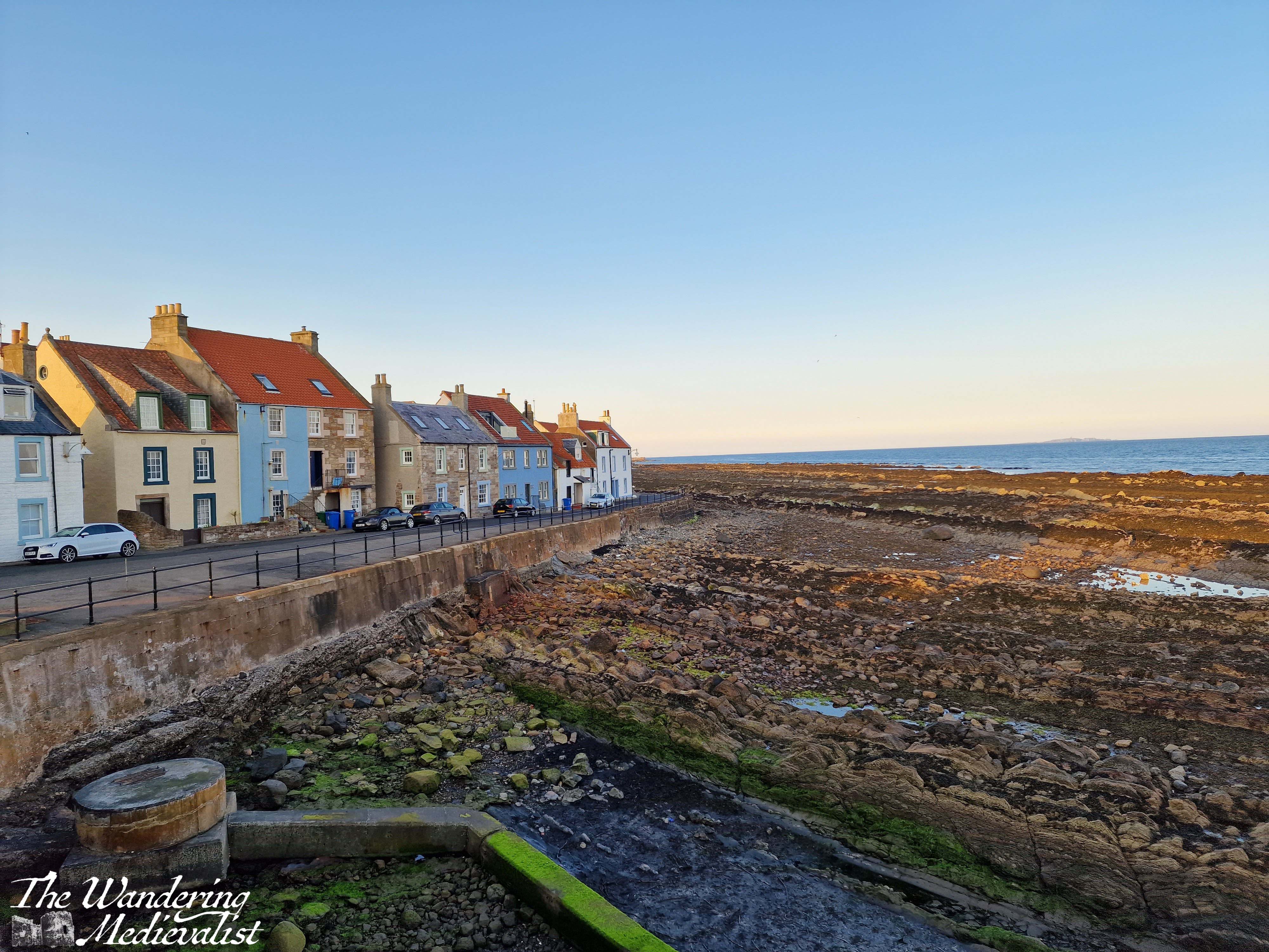
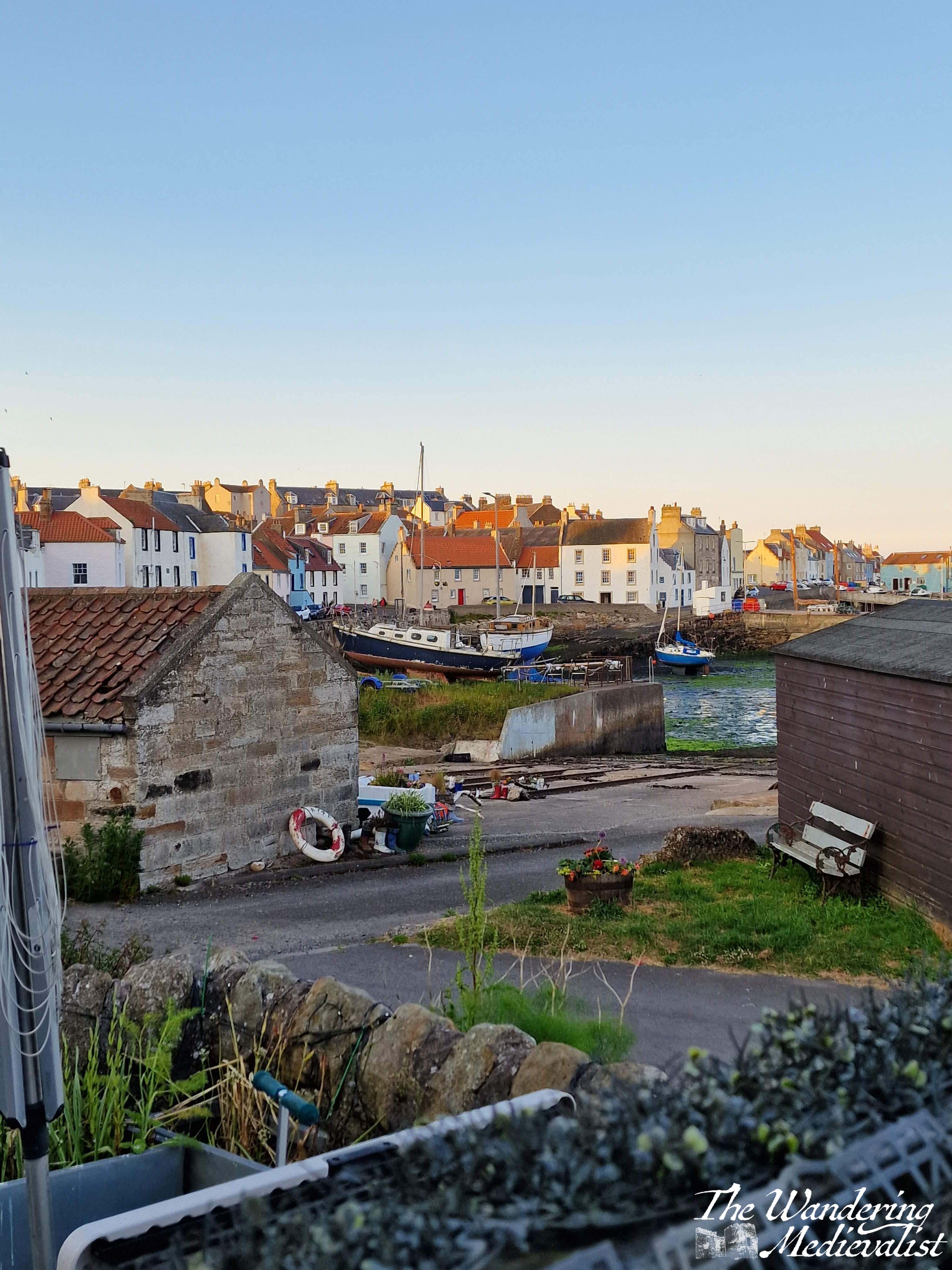
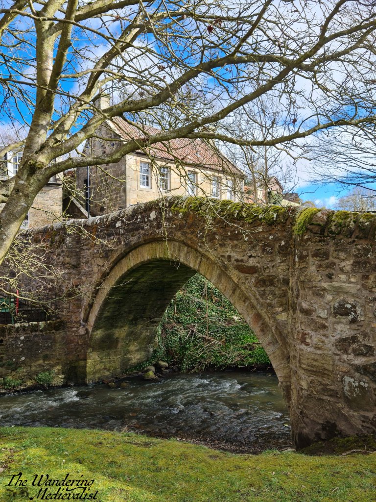
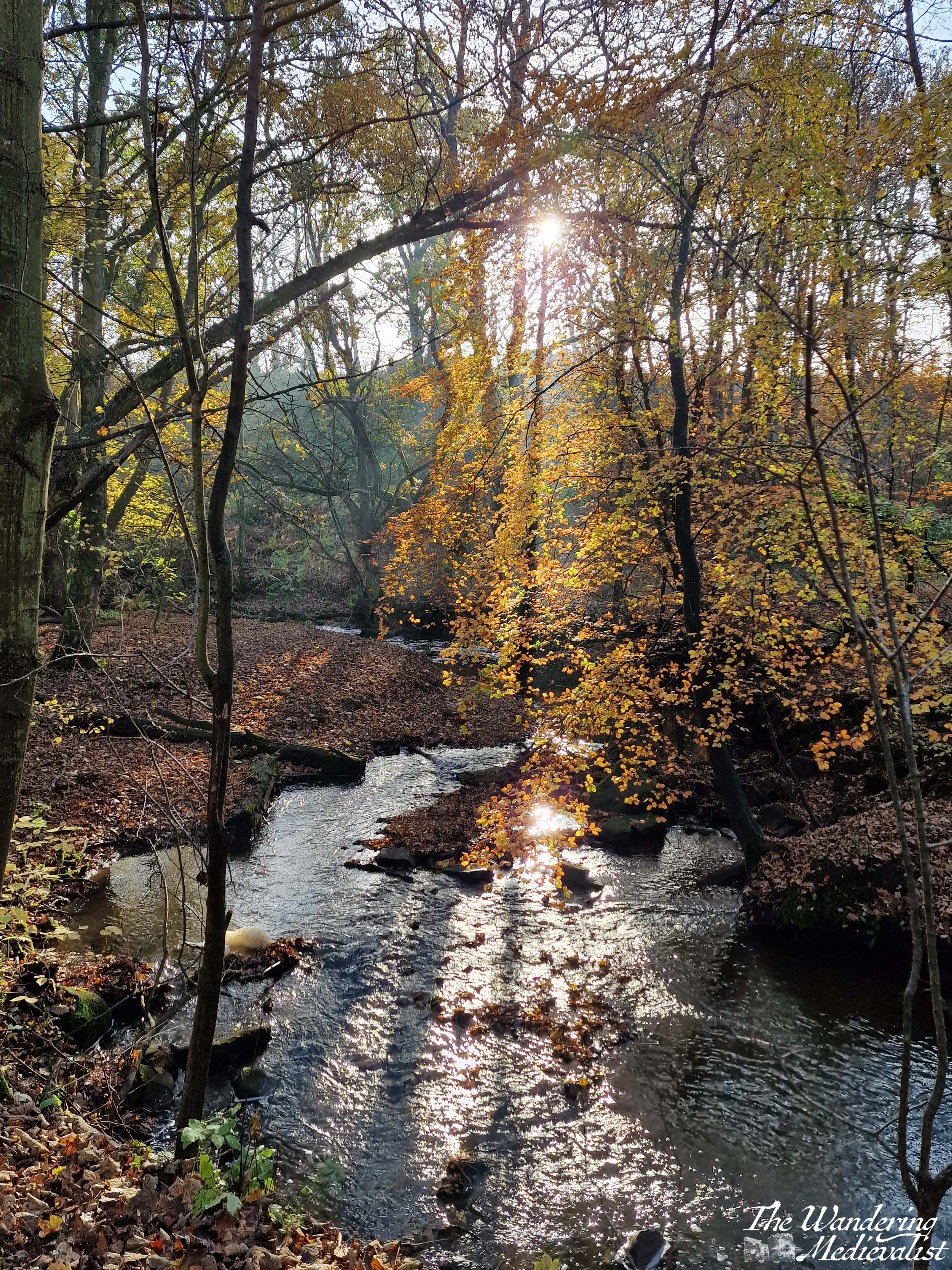
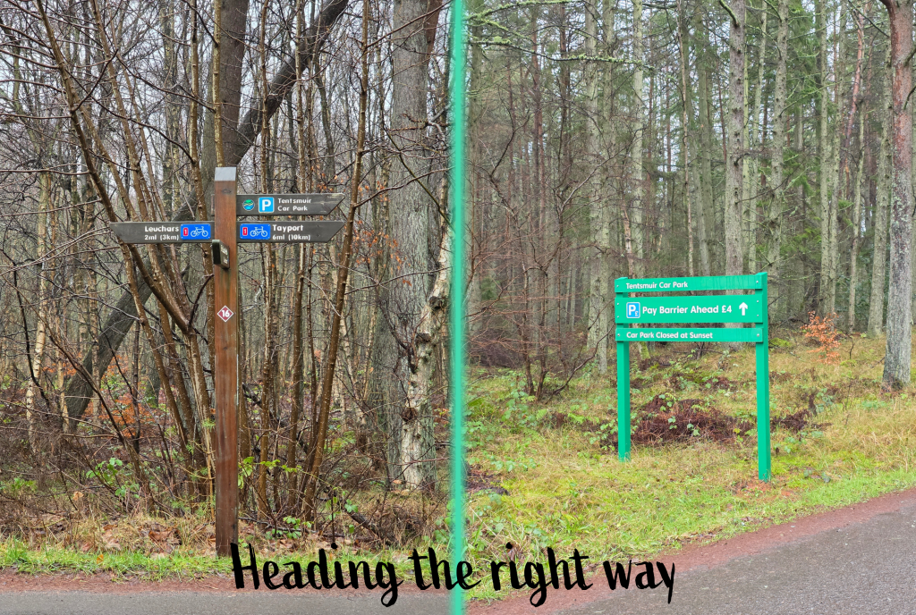
I have to say despite the weather, this is a quite pleasant stretch of path, and I had it completely to myself – I had seen a few joggers closer to Leuchars, but did not see another soul until I reached the Tentsmuir road. As I crossed the last stretch of bridge, a sign appeared in the distance, surrounded by a huge gorse bush that was just starting to bloom. Here I swung left, and ahead through the treeline I caught just the slightest hint of open sky that indicated the beach. I could also hear the distant crashing of waves, though this came and went for the next mile or so.
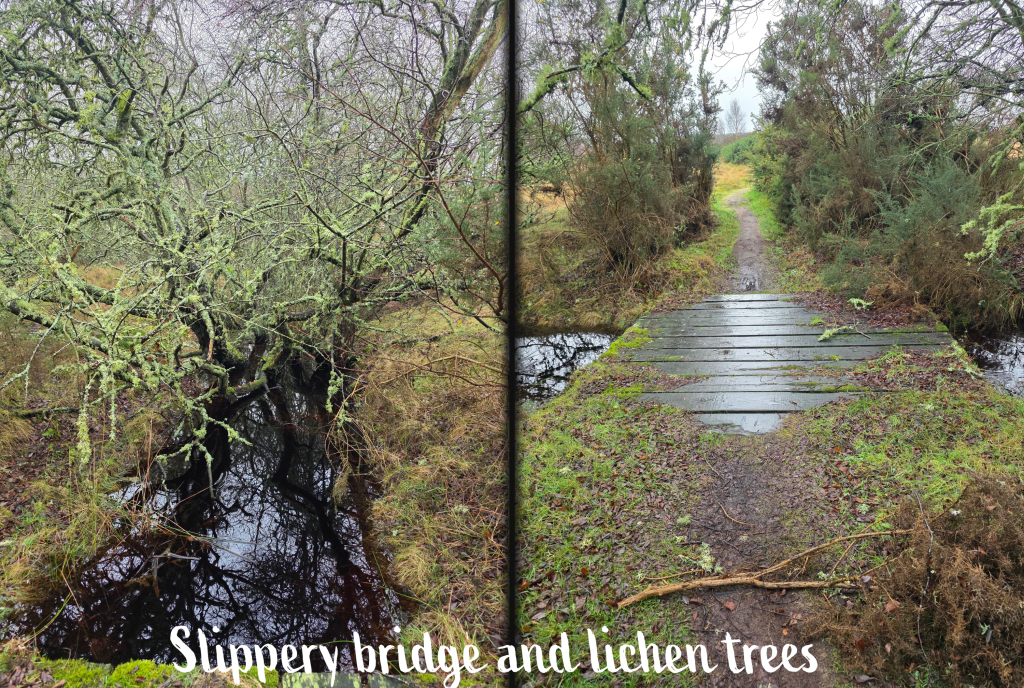
Shortly after this left turn, the quality of the new bridges was made clear when I approached an older wooden bridge, this one slippery and grimy from the weather and moss. Nevertheless, the small burn it crossed was lined with trees absolutely dripping in beautiful lichen, coating the branches in a light seafoam green. Up close, the lichen reminds me of types of coral.
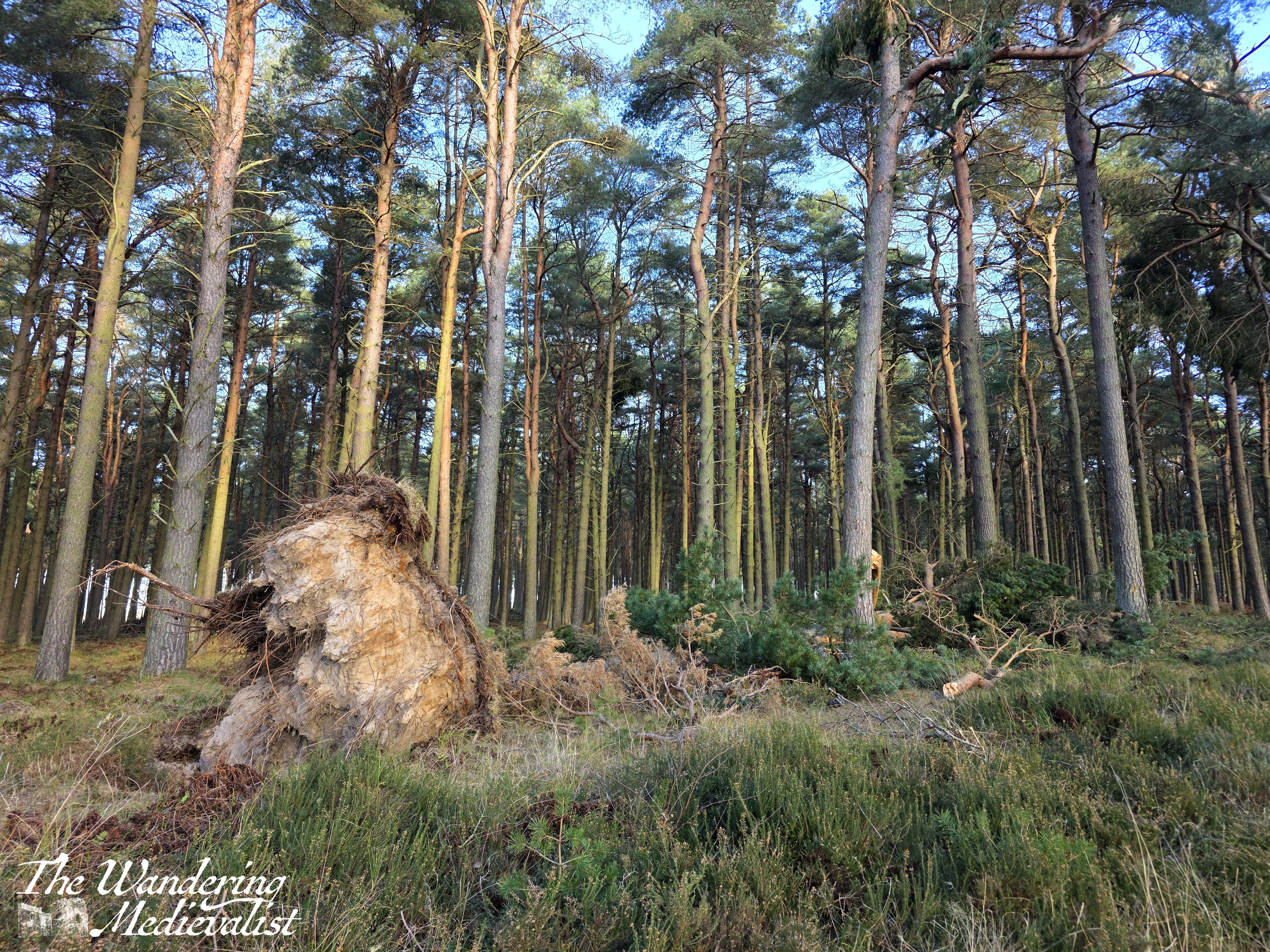
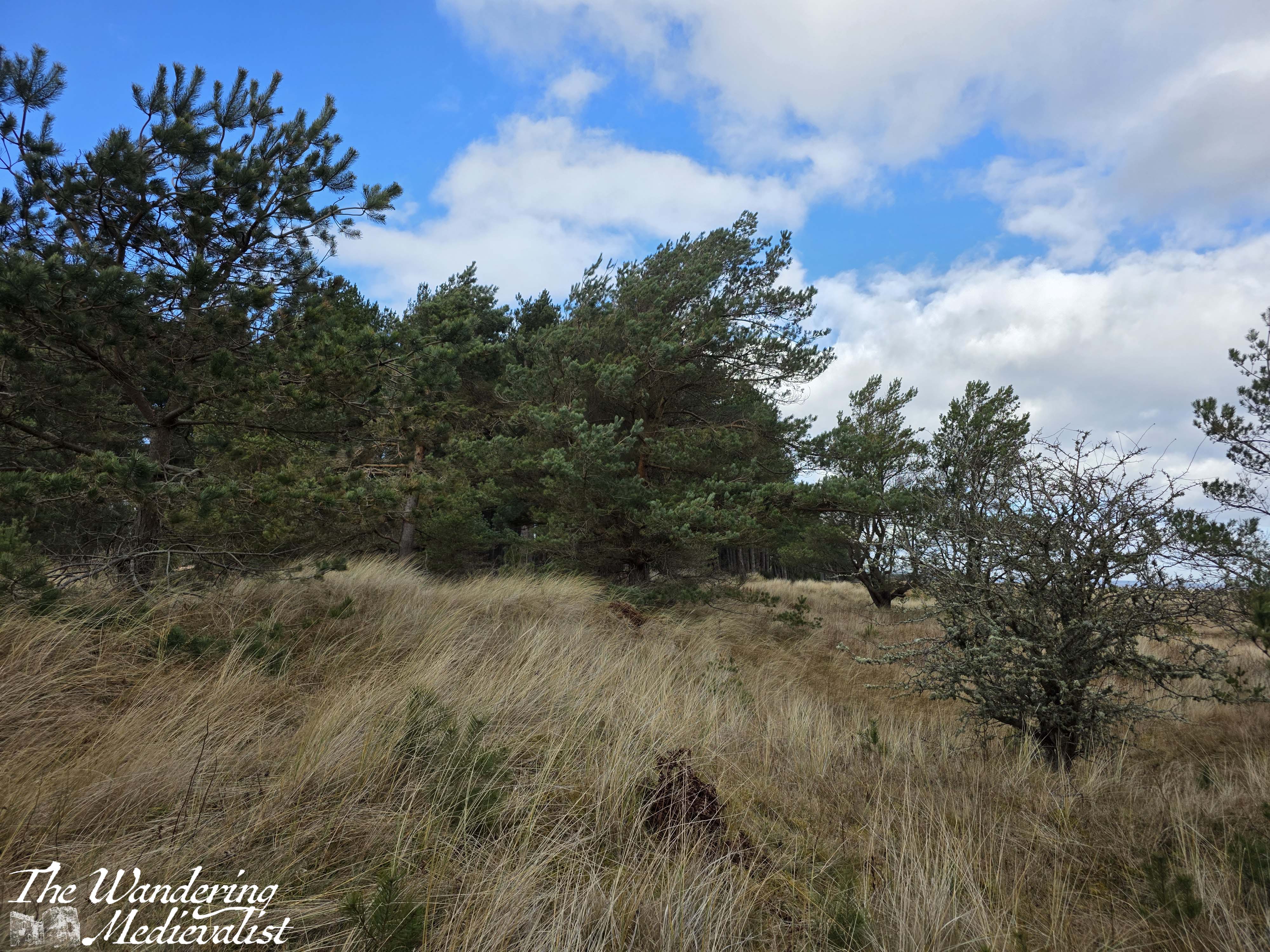
Across the bridge, the path passes into a hilly field, mostly empty but dotted with large, dead trees that created all sorts of creepy patterns reminiscent of a Tim Burton movie. There were a few lone pines with needles still on them which must have very deep strong roots, as so many of the larger trees here were blown down in the wind storms we have had in the last few years. Forest lines this field on both sides, with most trees just ghostly outlines with chunks of lichen on them.
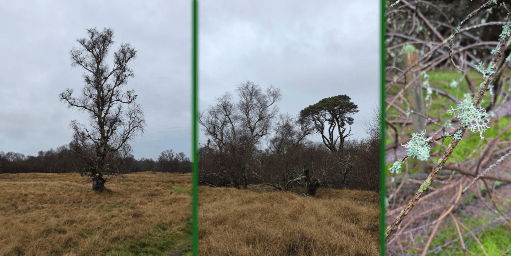
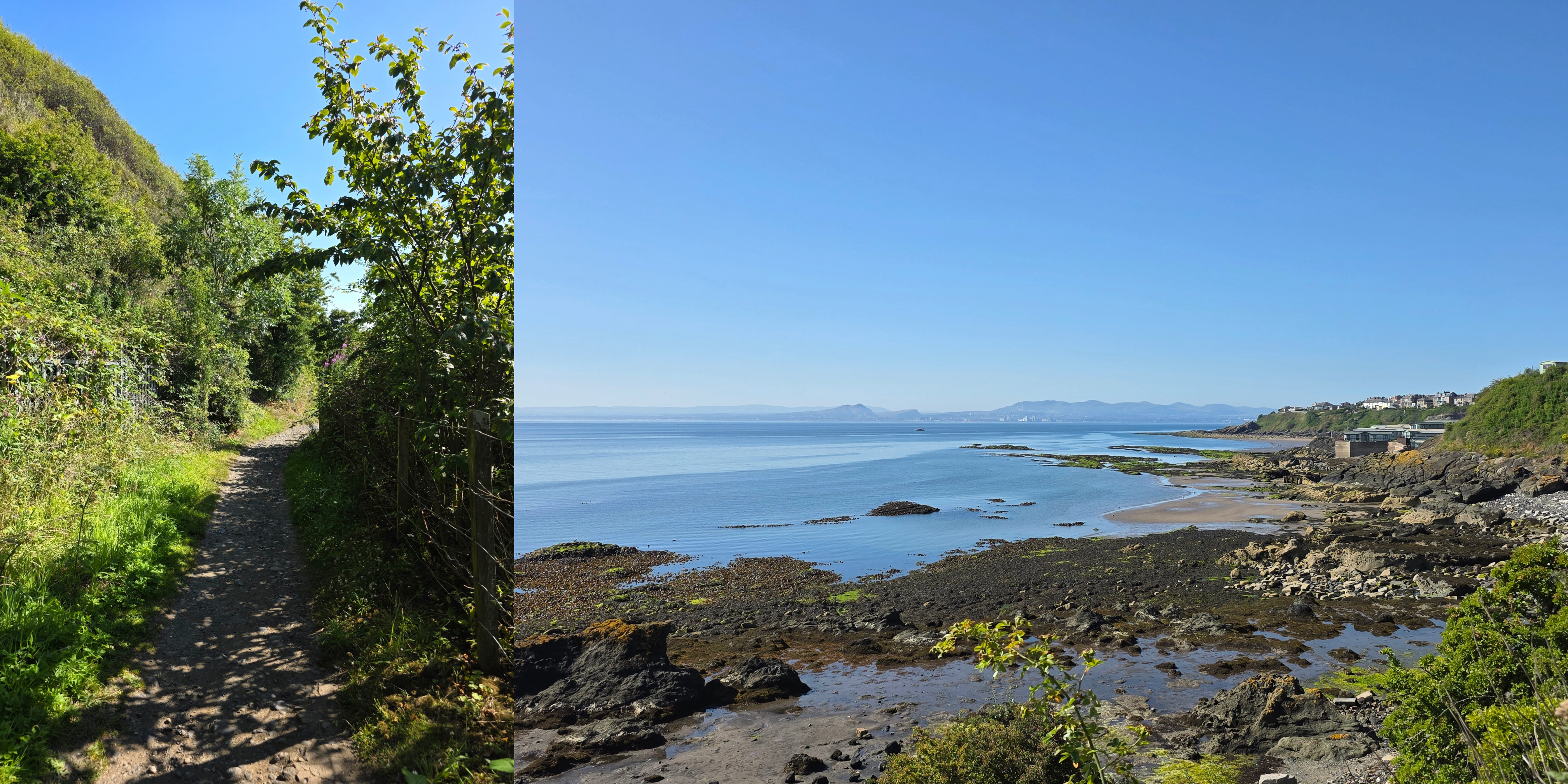
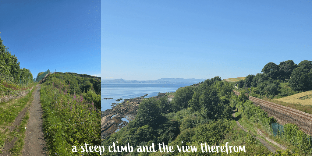
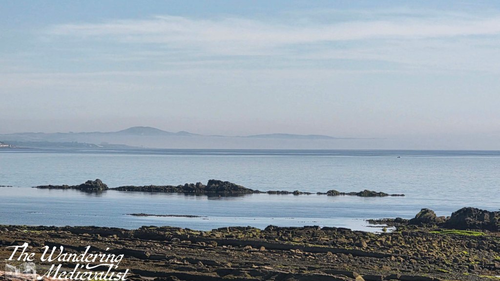
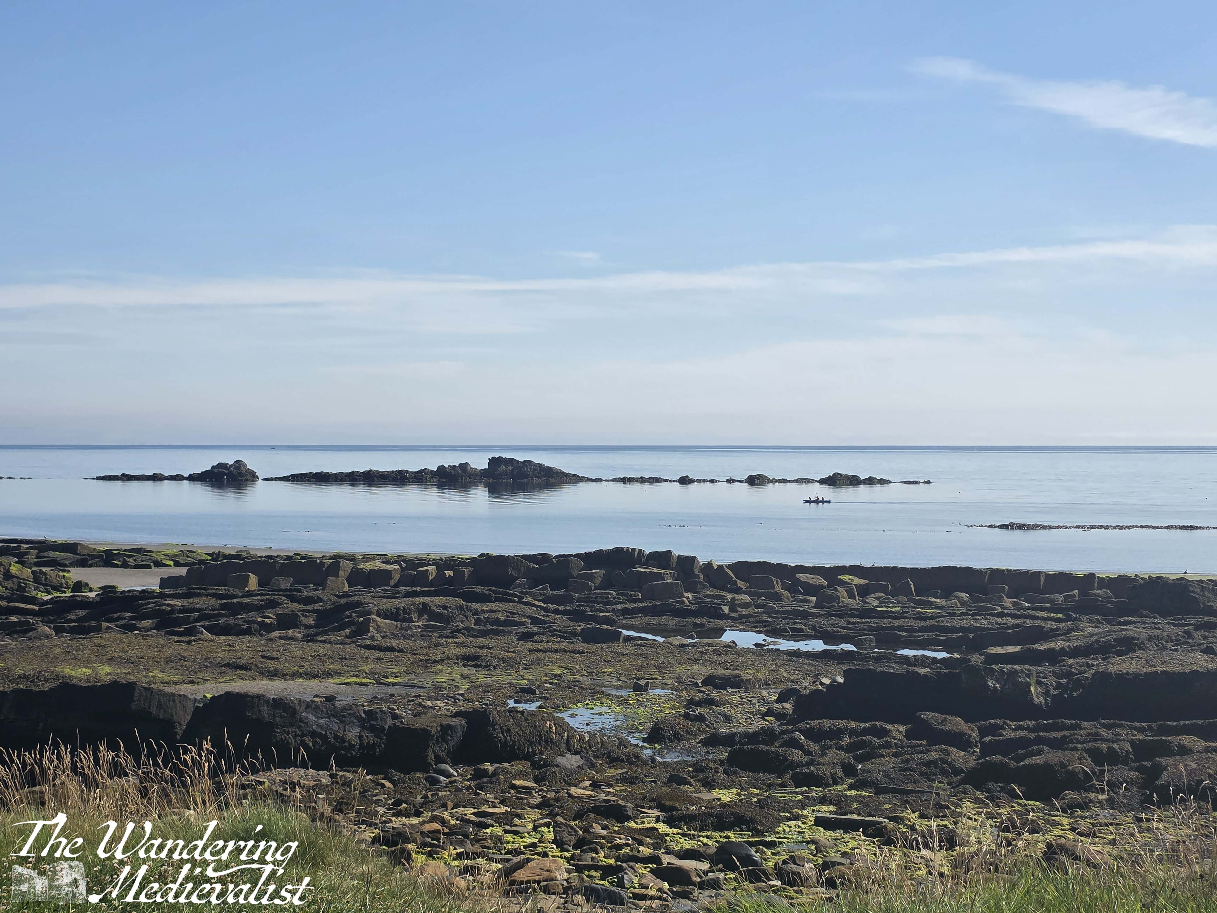
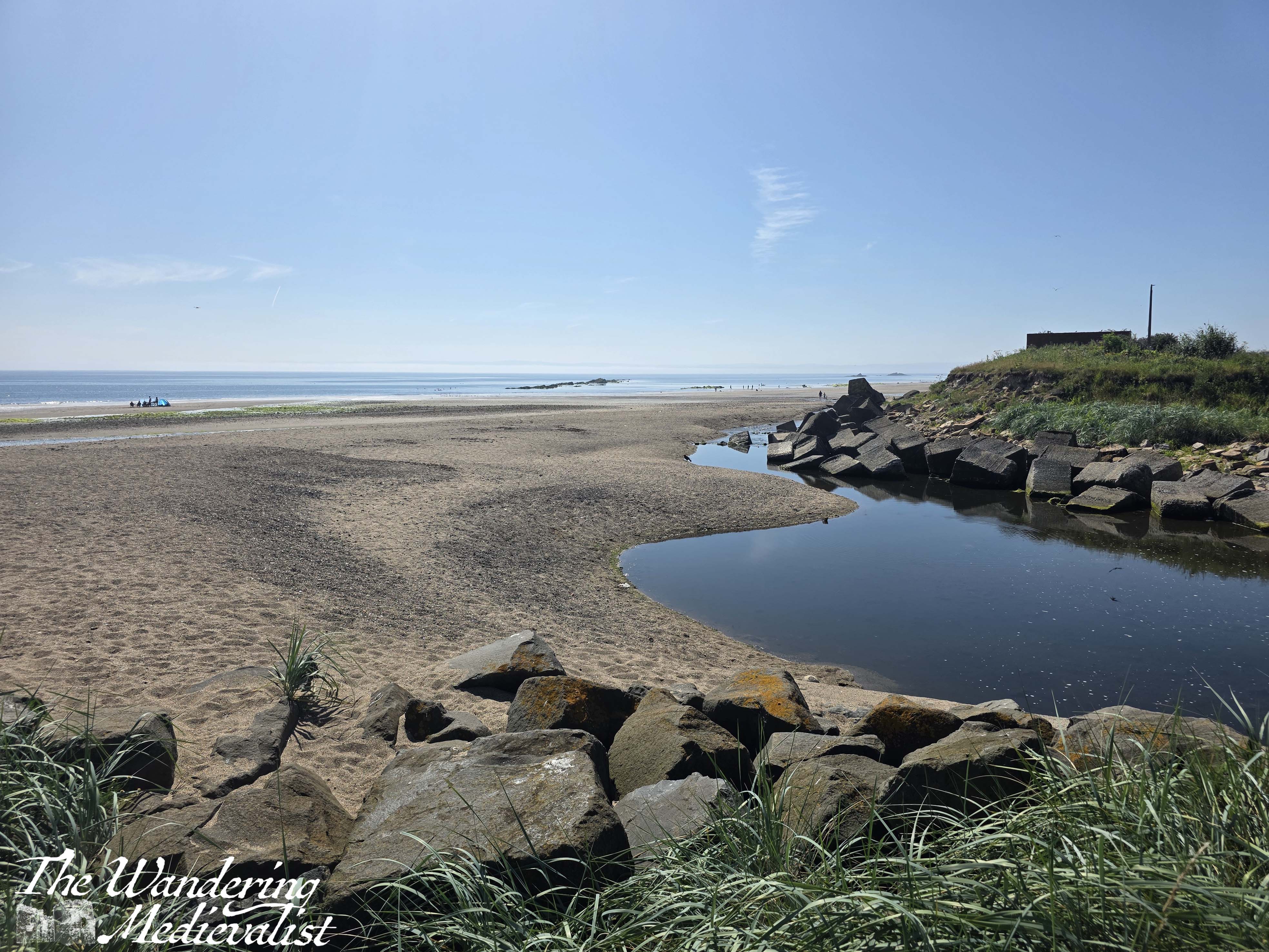
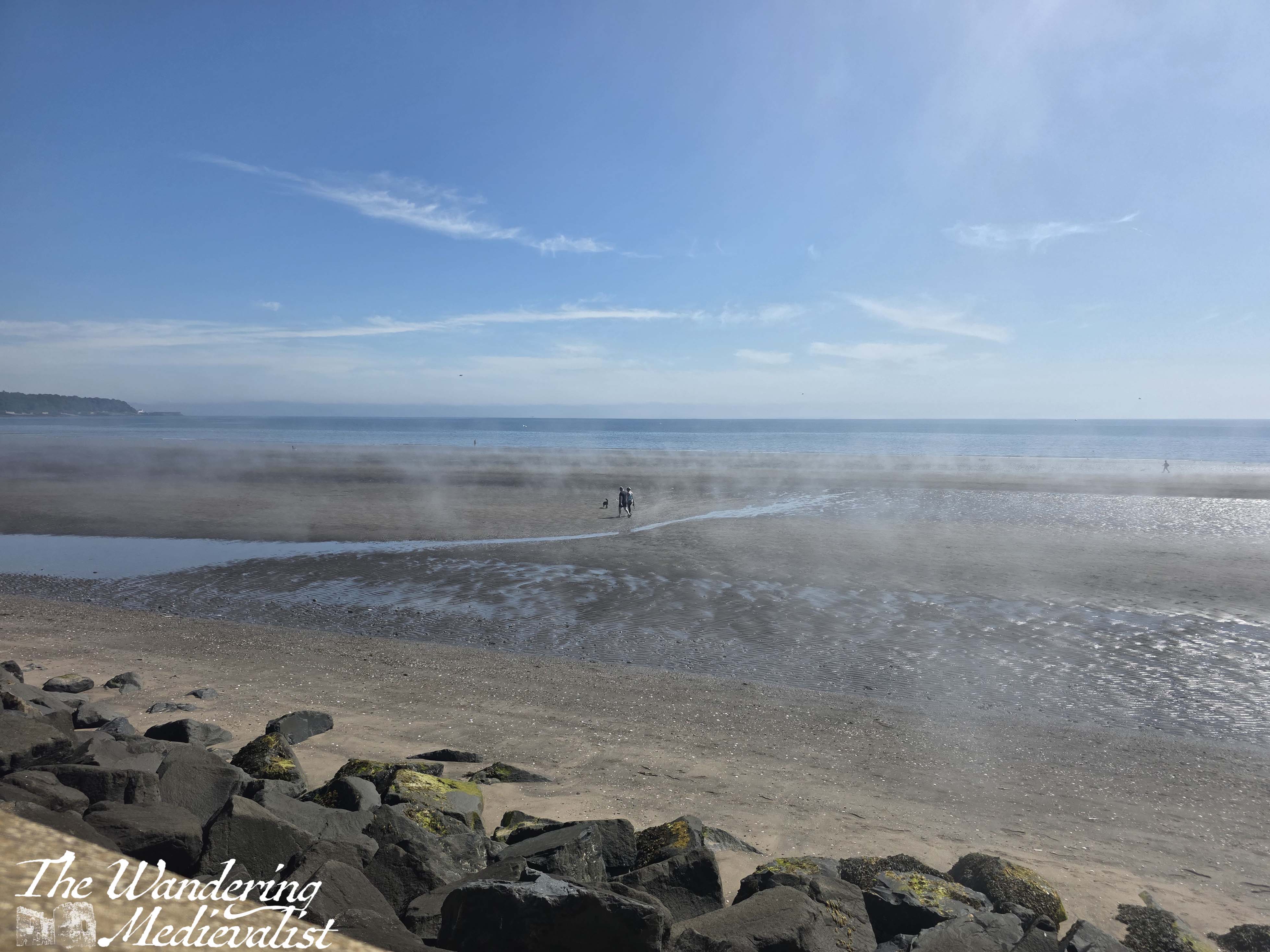
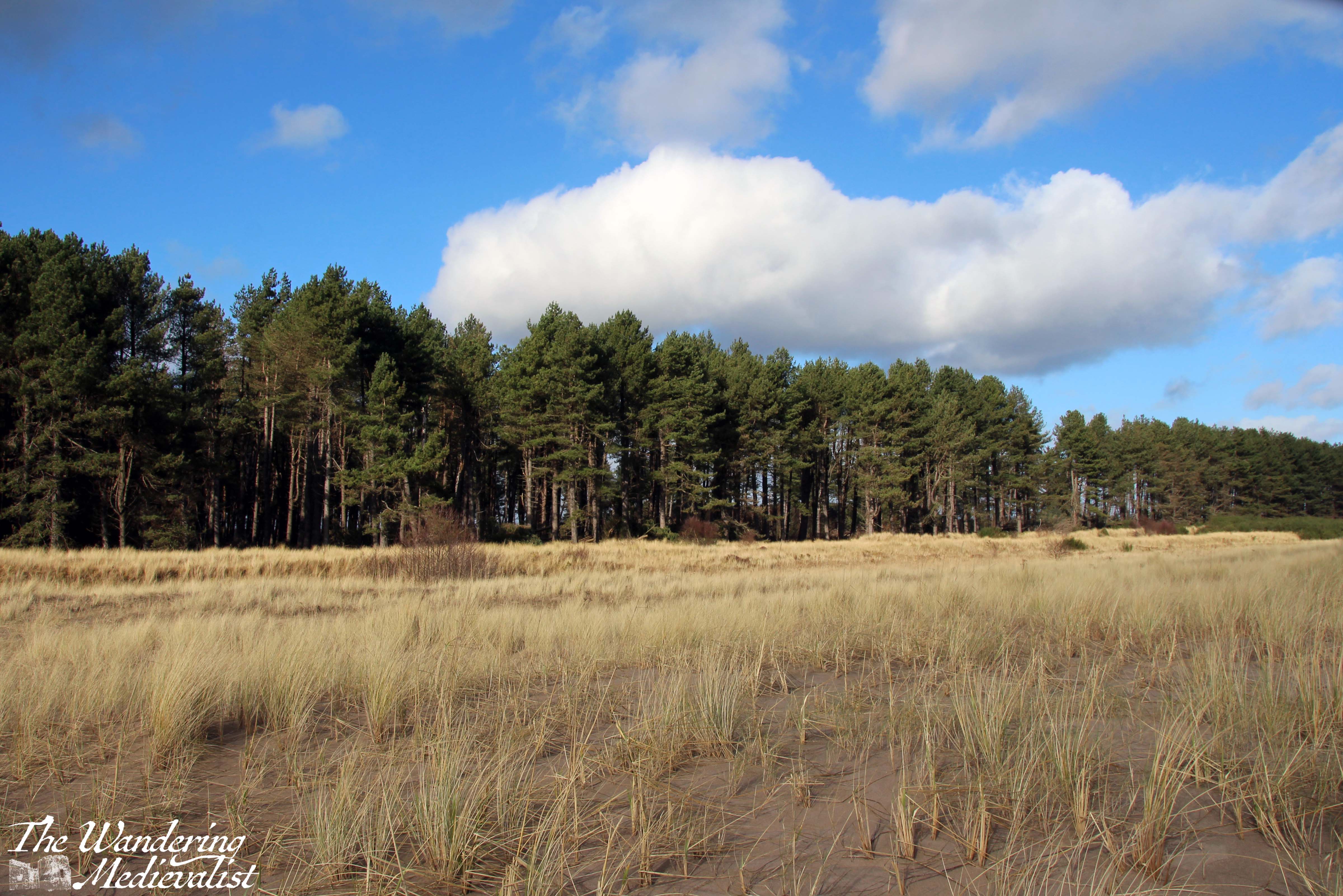
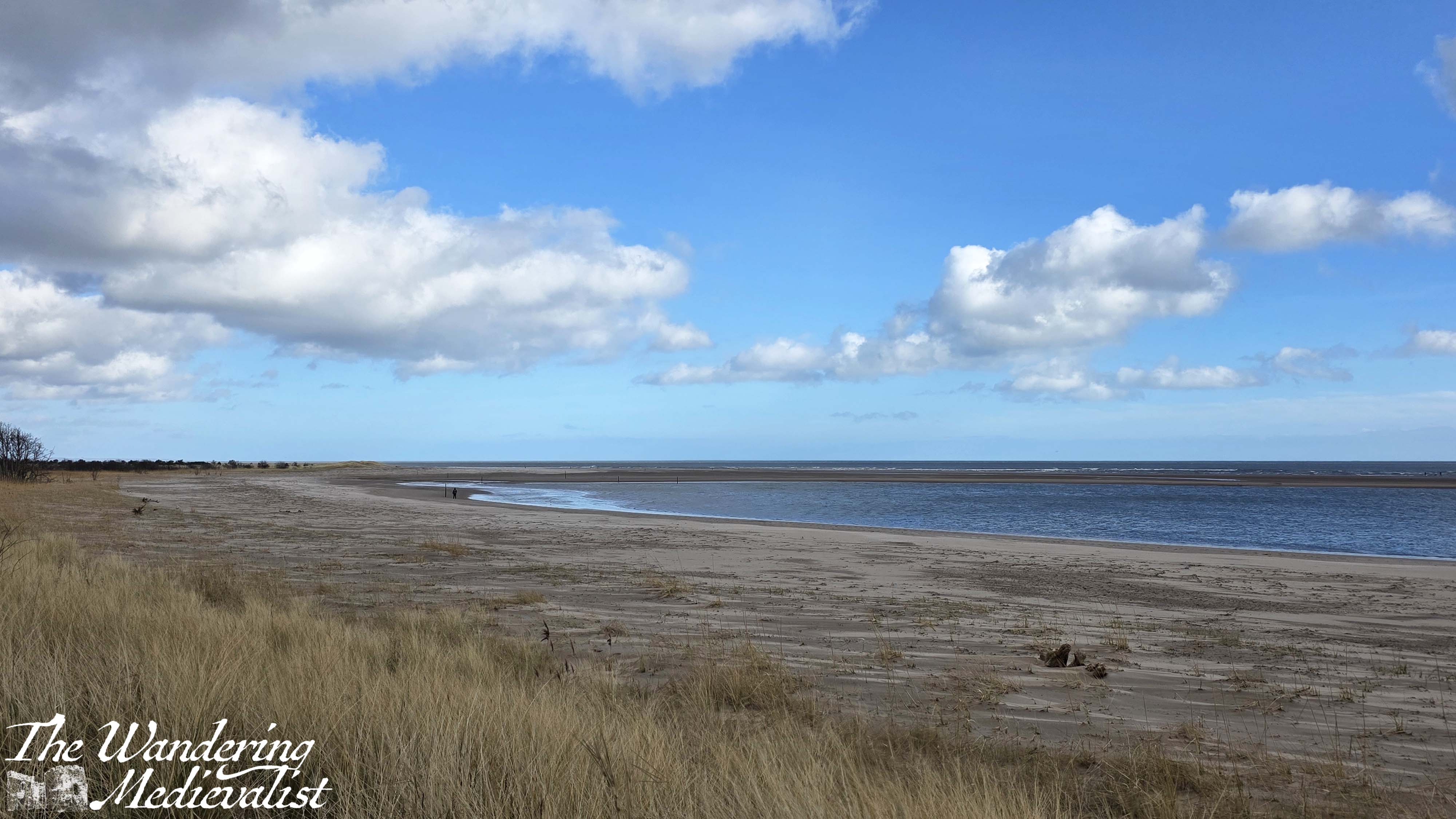
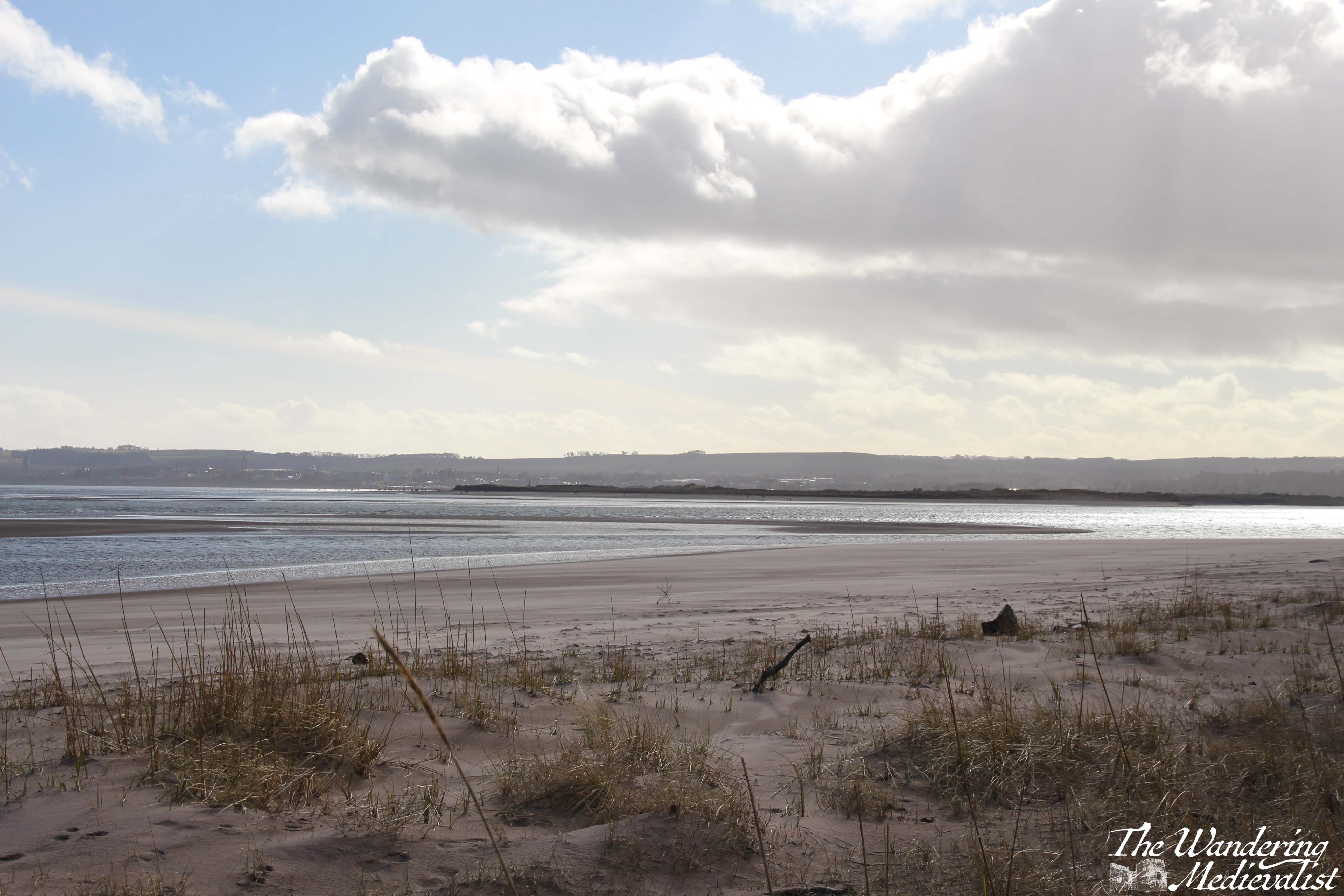
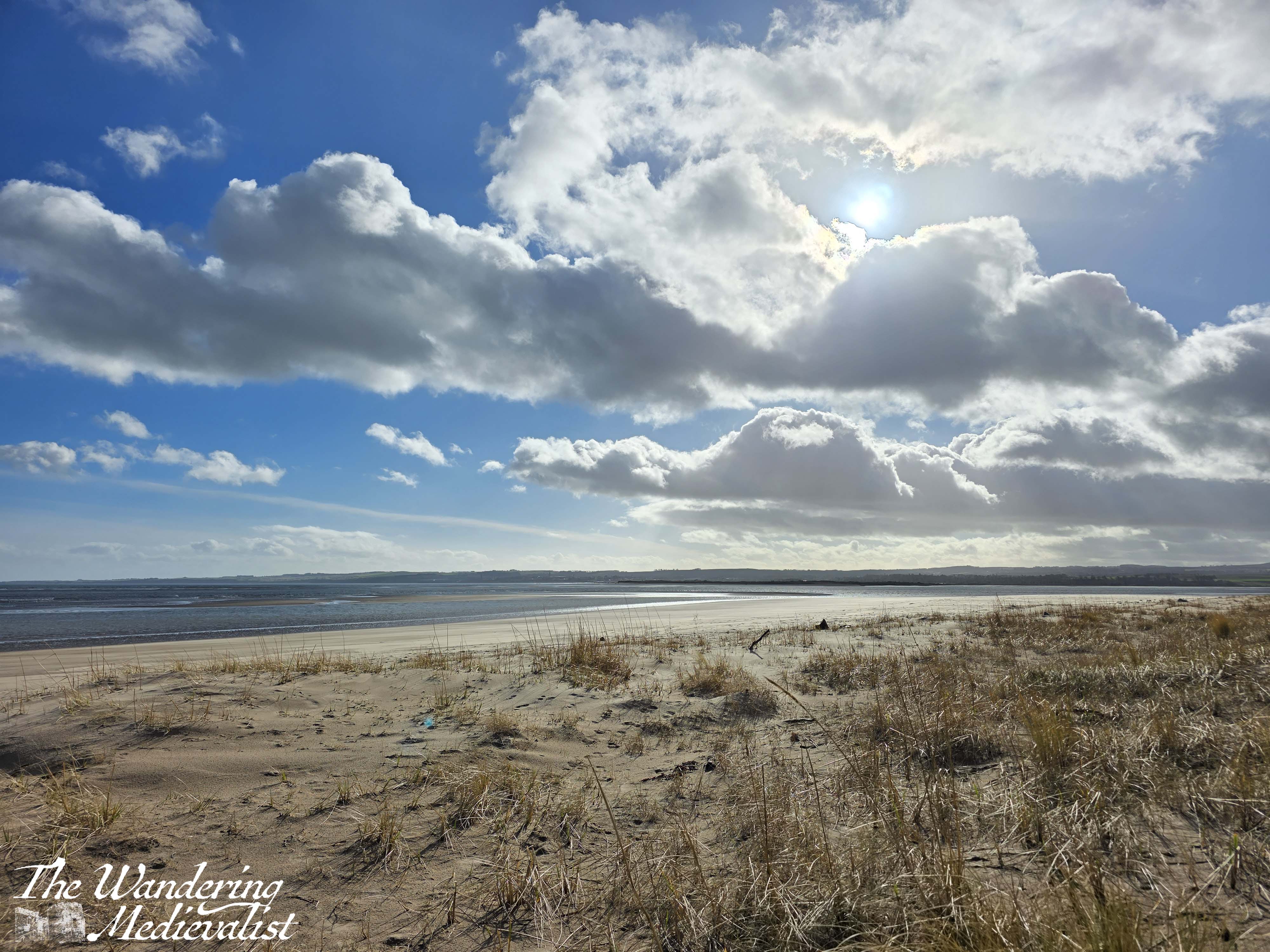
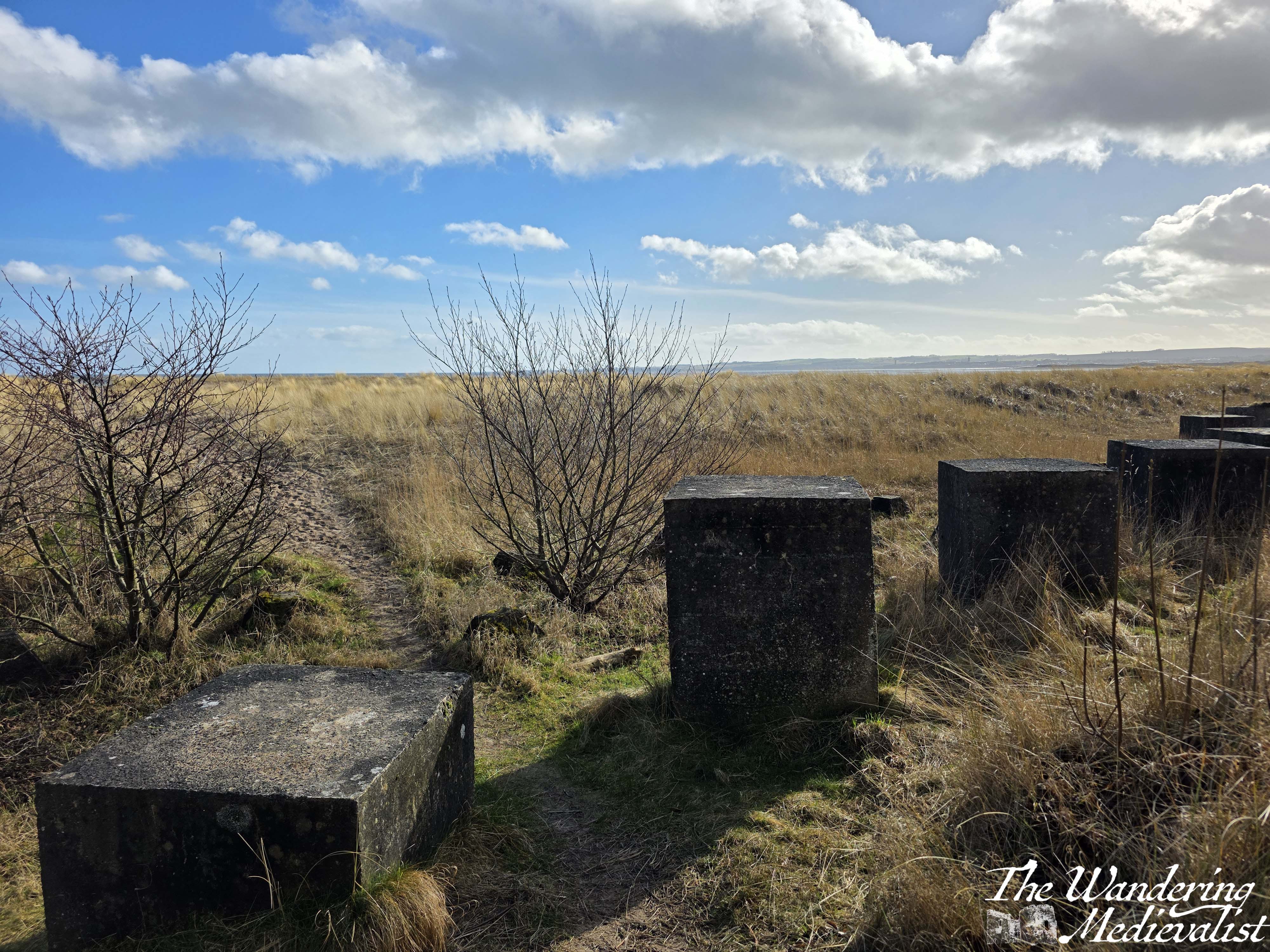
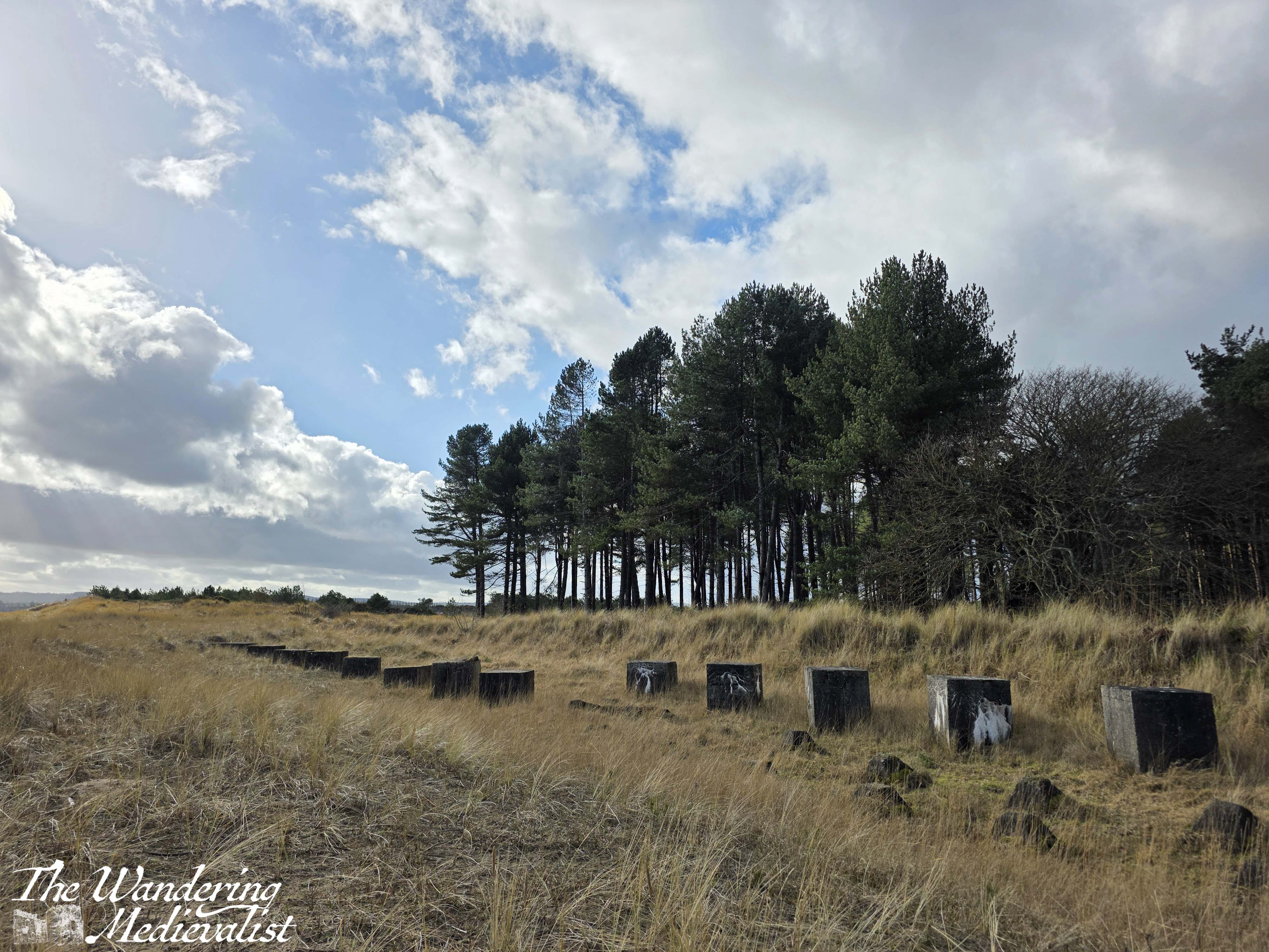
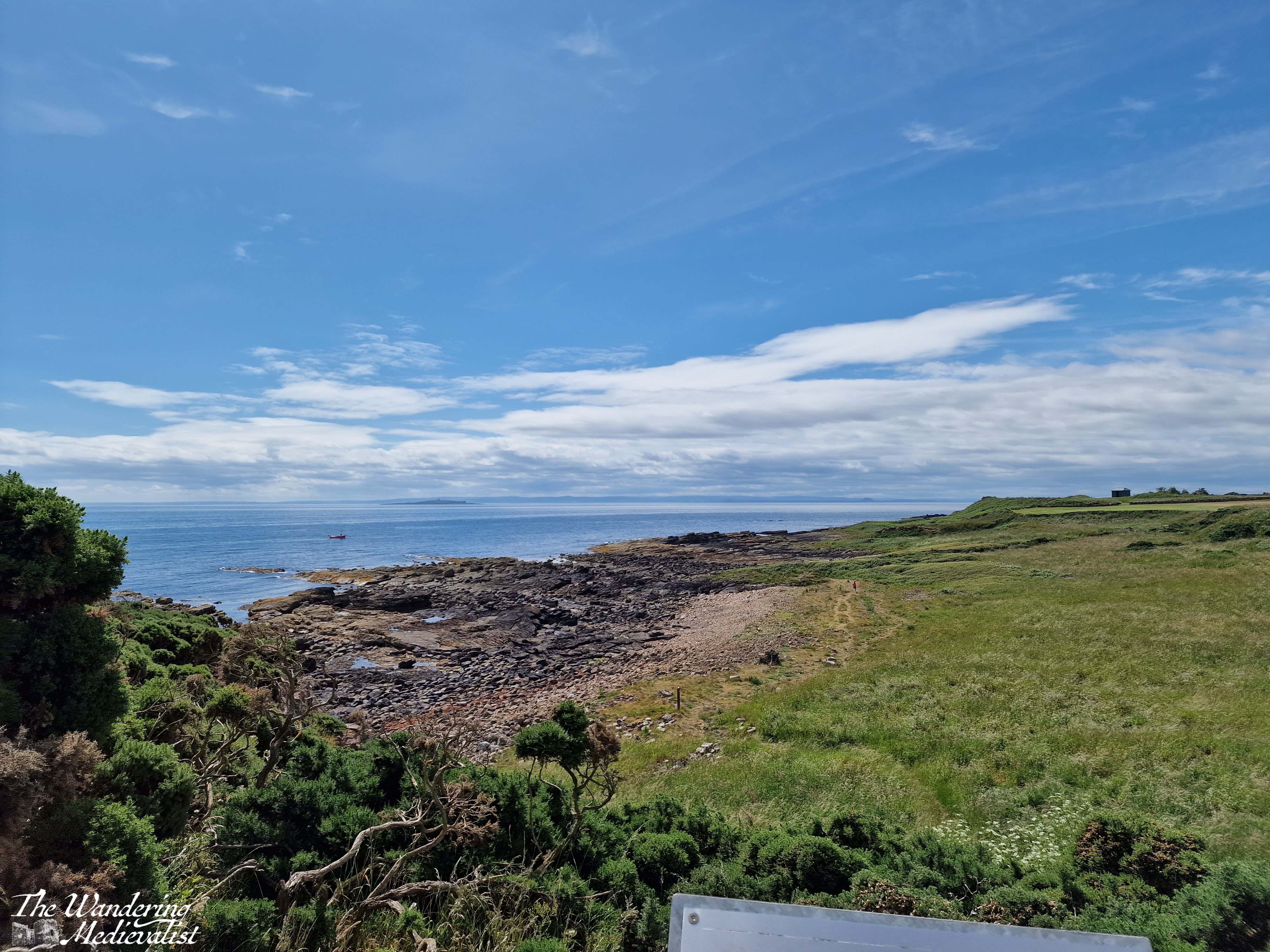
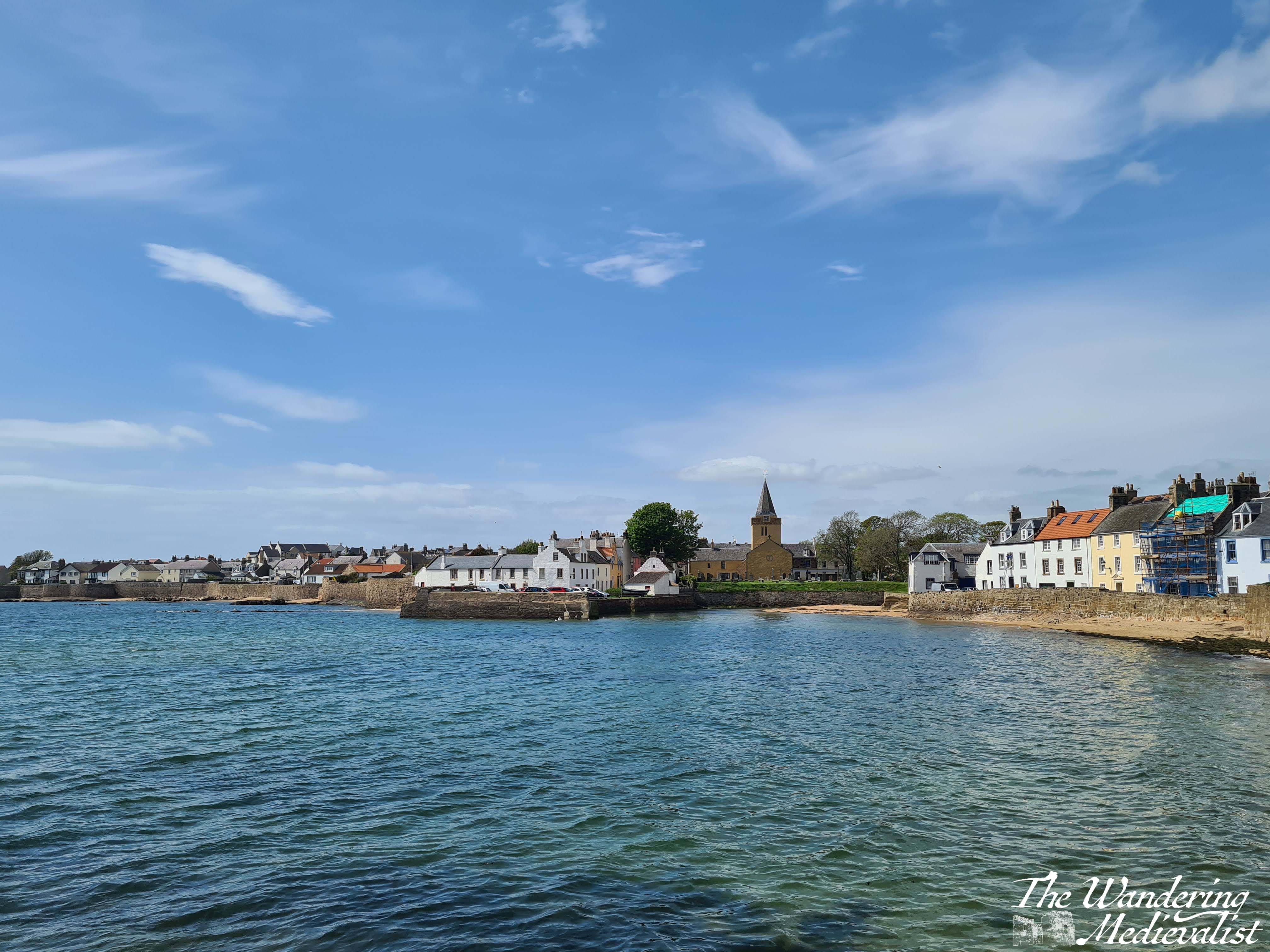
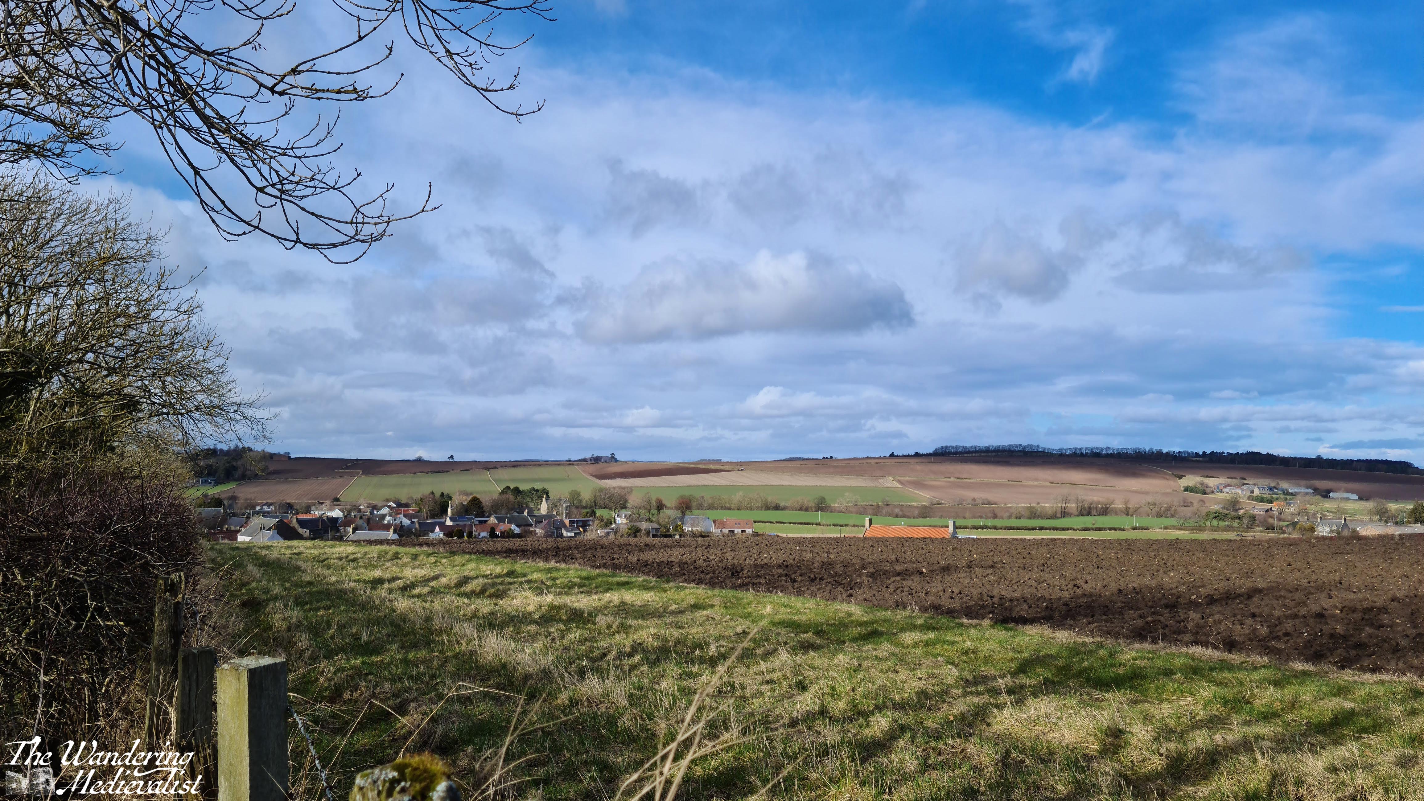
My primary observation of this section of the trail is that it is not particularly coastal. Other than the distant waves – which might not be audible in calmer weather – you do not get any hint of sand or beach at all, and could as easily be in inner Fife or Perthshire as less than a mile from the ocean. This is necessitated by the army base as well as the nature reserve, but I am looking forward to getting back to the seaside views.
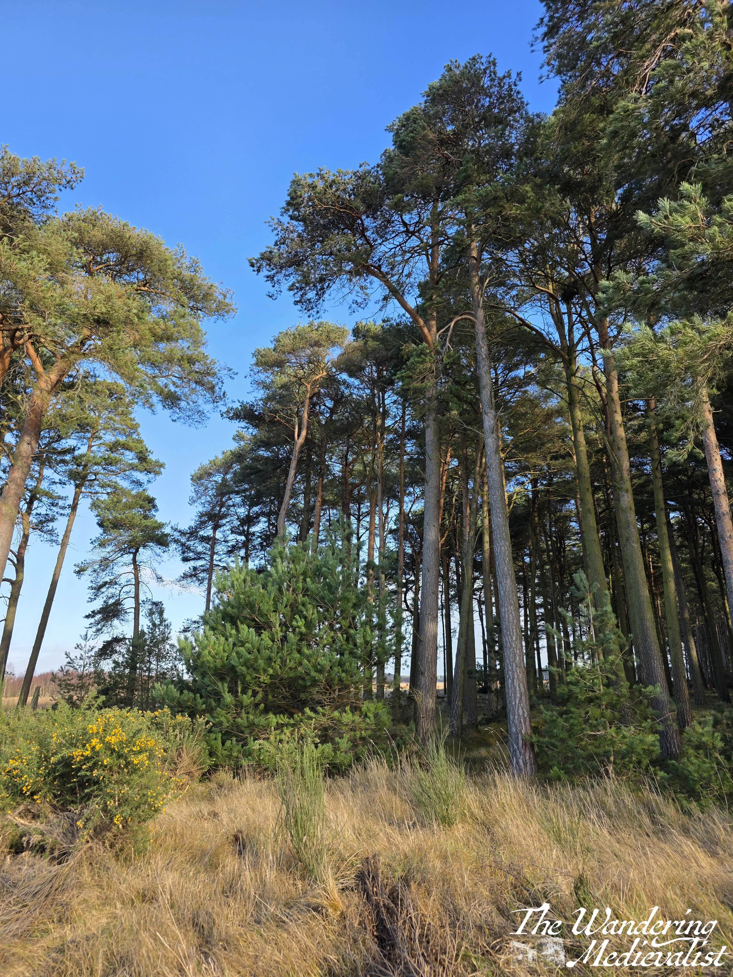
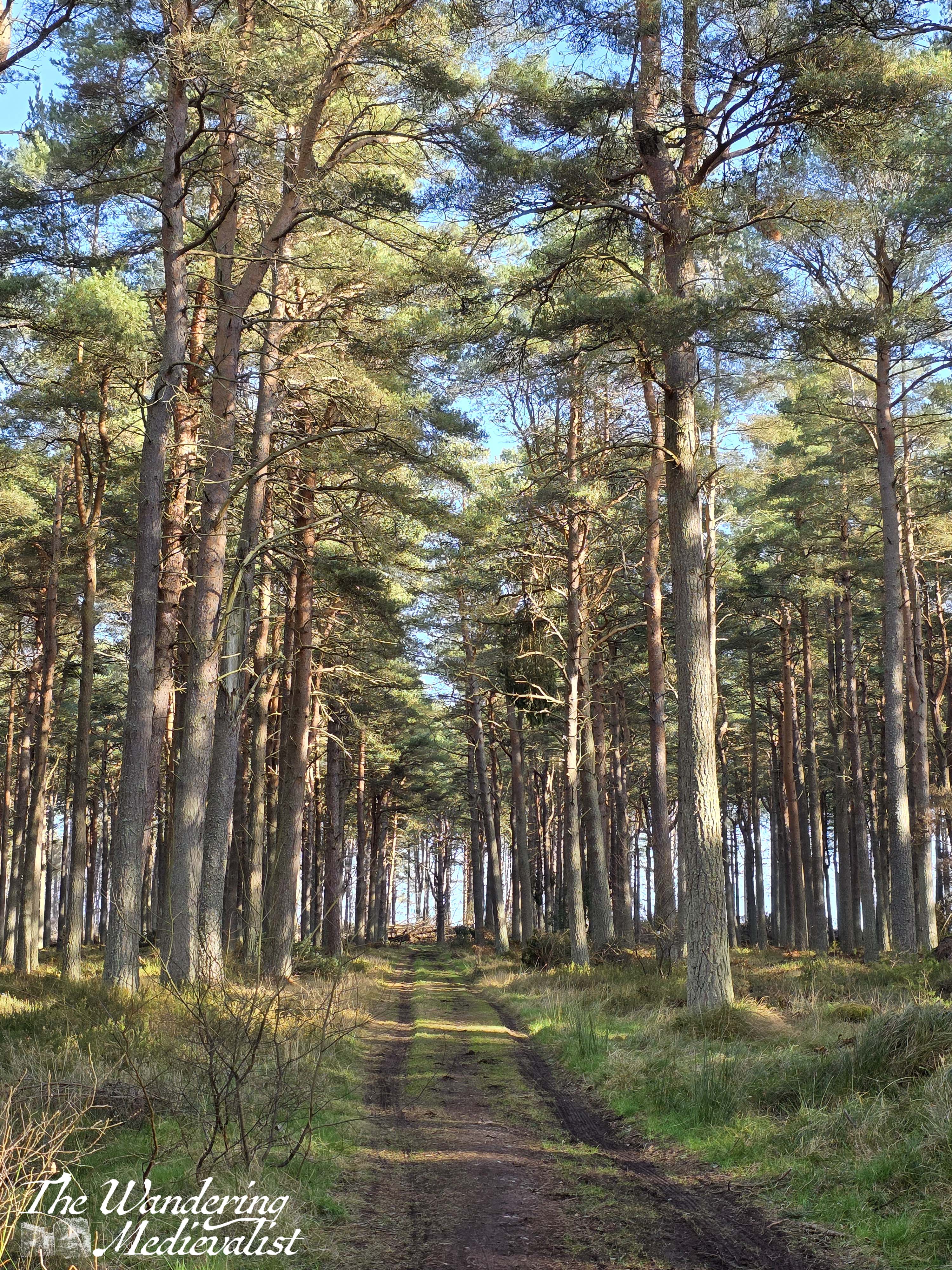
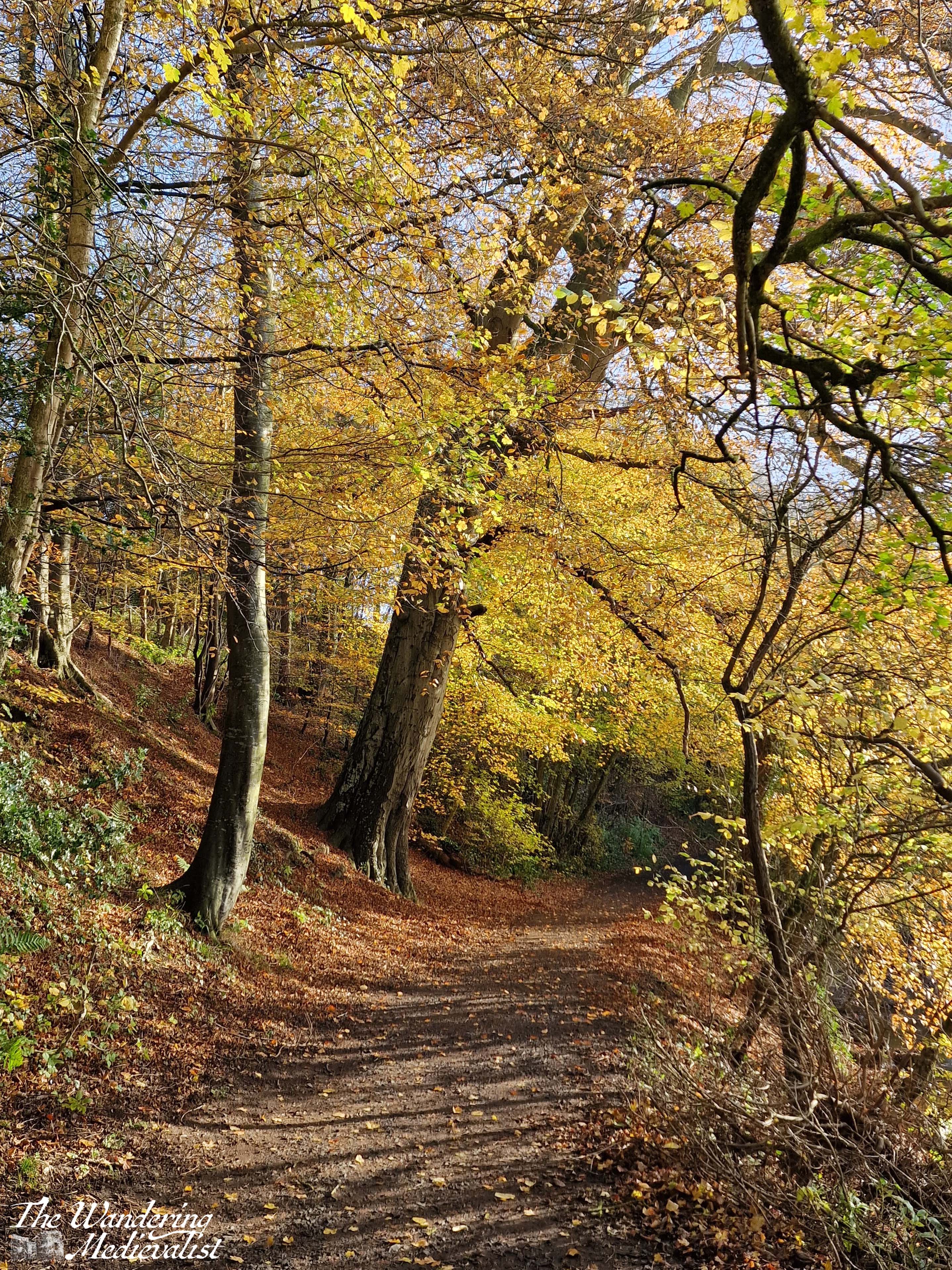
Eventually the trail passes out of the field and through another gate – very muddy here for a short while – and onto a forest track with clear vehicle ruts. The forest here is quite pleasant, a mix of pine and birch, and it blocks most of the wind so that it is also very quiet. The rain had completely stopped by and it was a nice stretch of path. That said, it went on quite a bit longer than I expected, and I found myself wishing for one of the first times on the Fife Coastal Path that I had some music to listen to.
Several times on this stretch I thought I could see the end in sight, as the trees seemed to close in over the trail a bit or indicate a change in pattern. However, on at least two examples I was disappointed to discover that I had been a touch premature in my hopes. I was not particularly tired, but the pain in my left foot was growing steadily worse and my right foot was starting to rub slightly as well, so the last 15 minutes or so really seemed to drag – not something I find happens often on this path. I was so relieved to finally see, in the distance, the very man-made shape of a horizontal bar, dividing the path from the road beyond. Here I knew it was just a short distance along the road to the stables, where the other half was to meet me.
Unfortunately, this last short section was the least pleasant, as the road is narrow and the path alongside it even narrower and, on occasion, not present. It was muddy, started raining again, and the cars were regular enough that I was not confident venturing onto the tarmac at all; I even found myself switching sides of the road a few times in search of a better patch to walk on. But I did not have far to go.
Overall, then, not my favourite part of the Fife Coastal Path, though it had some pleasant sections and would probably have been even more pleasant without the enormous blister I was causing on my heel. (as I discovered when I reached home, it really was impressive, covering most of the back of my foot – oops).
I am still in love with my hiking boots though, particularly since the blisters were really my own fault for having put in new insoles and not tested them. Overall, they did a fantastic job and were very sturdy, keeping my ankles from rolling even on quite uneven ground. They dealt well with the mud and puddles, and my feet were bone dry
I’m not sure when I’ll get back out onto the path as work is taking over life for the month of February (and early March), but fingers crossed I’ll get out in March before the next round of travel.