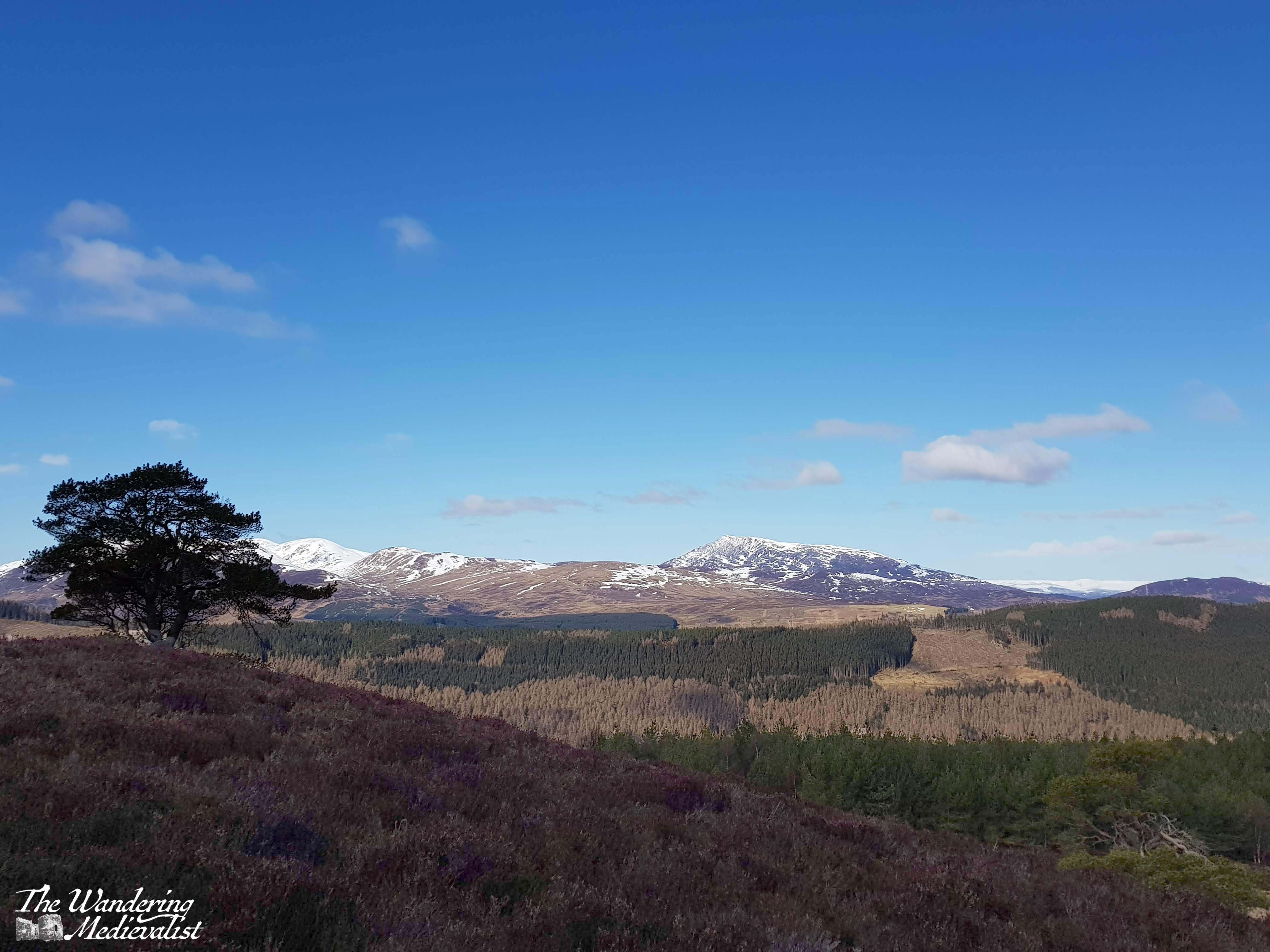
Whenever a parent, family member or friend comes to visit, I try to plan an adventure – to be a tourist in my own home, but also to share it, its beauty and wonder.
This year, my mother gave me a challenge: she wanted to visit Iona. She had heard of it from friends in her church, and I knew of it from its vast historic context. I also knew that it was not the easiest place to access.
Sure enough, reaching Iona would involve a drive to Oban, a car ferry to Mull, driving across Mull, then another passenger ferry to Iona, and a walk from the ferry landing to the abbey. Certainly doable, but not without considerable planning required. Fortunately, this is my specialty, and so I studied maps, studied the routes, booked ferries and hotels and away we went. We were fortunate enough to have three gorgeous days of clear weather, and if there was ever a place to add to the ‘does not disappoint’ list, Iona is it.
History of Iona
The Isle of Iona has been a holy spot since the Irish St Columba (originally Colum Cille, ‘Dove of the Church’) landed there in AD 563 and founded the monastery with his band of twelve followers. At the time, the area of Argyll and its islands were part of Dál Riata, a kingdom founded by men who still held land in Ireland, and whose various descendants would in time spread across most of Scotland (Scotia was in fact the Roman term for Ireland).
Renowned as a centre of learning and art – particularly manuscript illumination – Iona survived repeated attacks by Vikings. In 1200, a Benedictine monastery and Augustinian nunnery were founded, restoring Iona’s importance as a sacred destination for pilgrimage. The church was finished quickly but underwent almost constant renovations, demonstrating its popularity. Like many monastic sites, the abbey fell into ruin after the Reformation of 1560, but was restored in the 20th century and is now home to the Iona Community, an ecumenical group that welcomes Christians of all denominations.
The journey to Iona
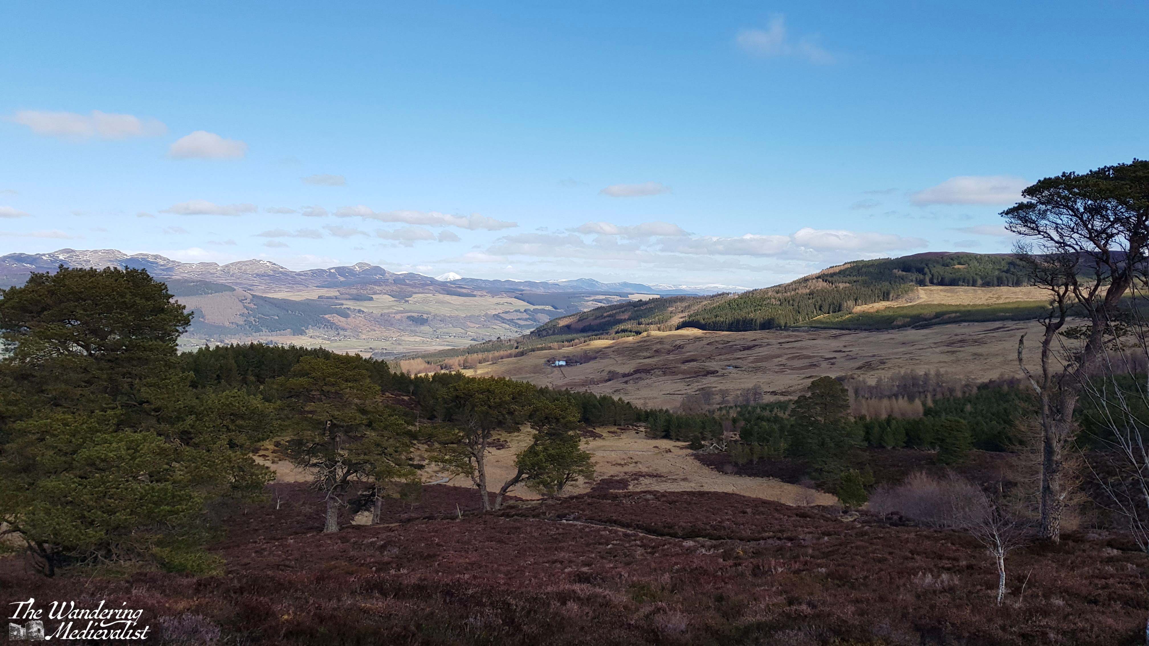
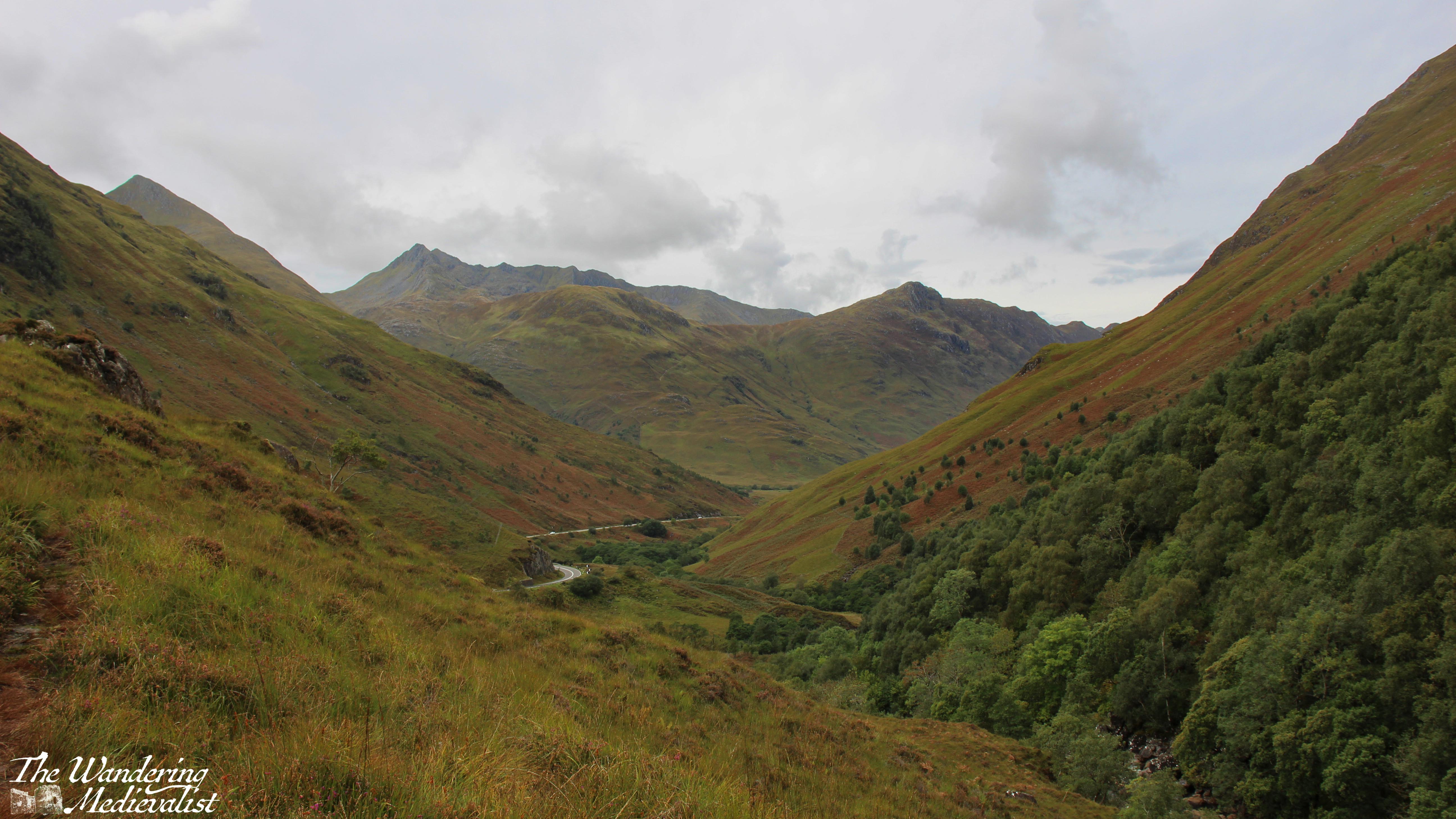
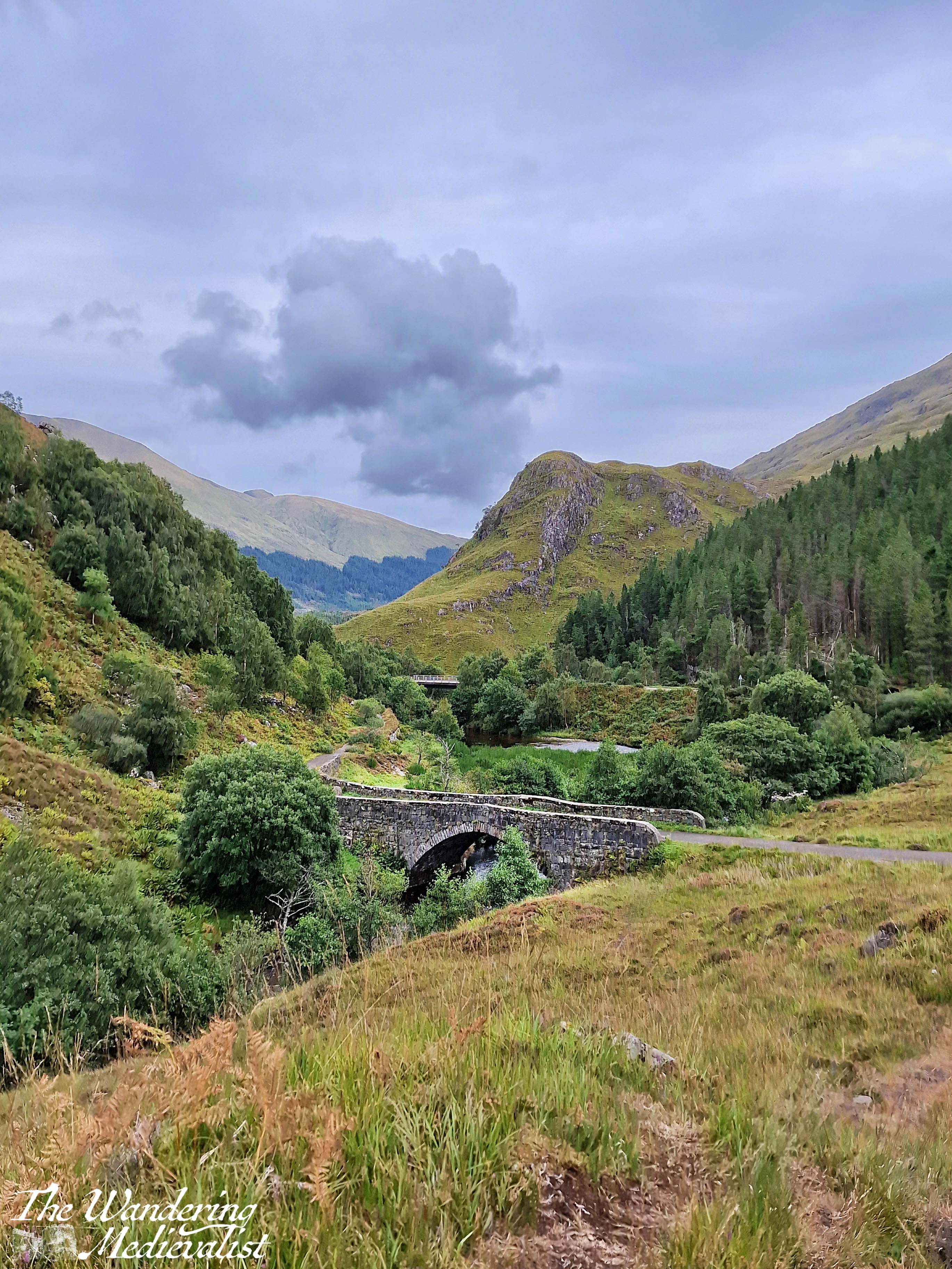
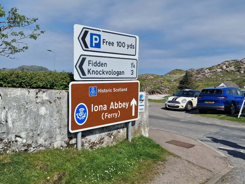
The ferry to Iona leaves from the tiny Mull town of Fionnphort, which is about 60-90 minutes by car from the Oban ferry landing at Craignure. The route is absolutely stunning, climbing through hills and following the dramatic coastline, though it is also single-track with passing places, a type of road that not all are comfortable with. It certainly takes a great deal of focus.
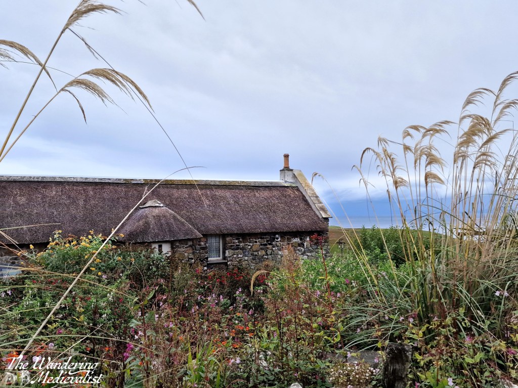
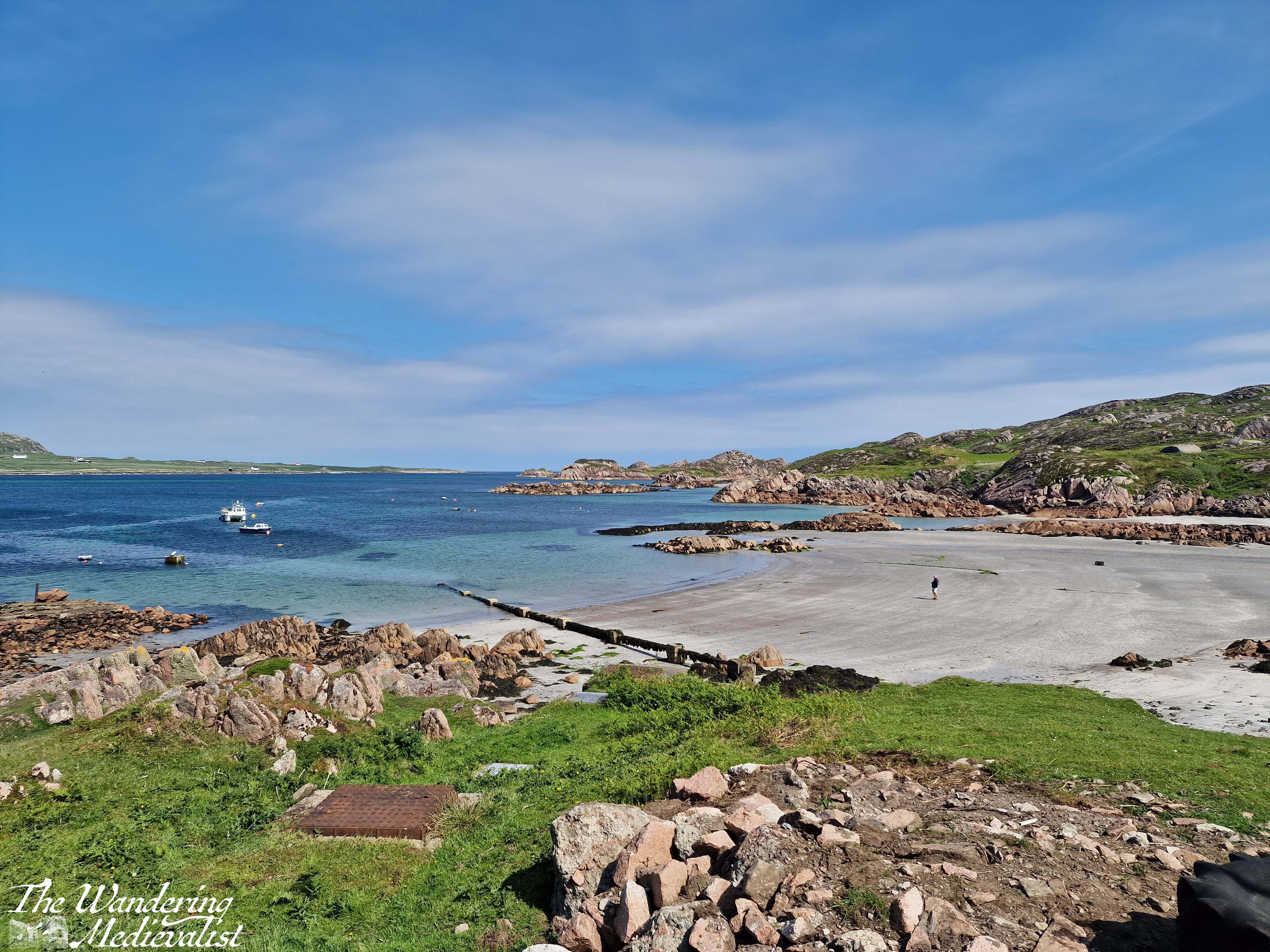
Despite its size, Fionnphort offers plenty of parking – evidence of Iona’s popularity – including paid spaces closer to the ferry, or a large free lot a few minutes away. The walk from the car park passes a number of restaurants and pubs where visitors can find refreshments. At the ferry landing there is a very small café, attached to the ticket office.
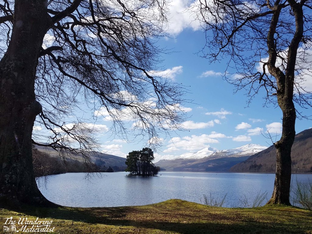
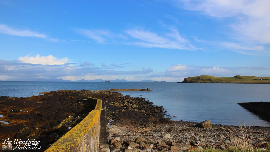
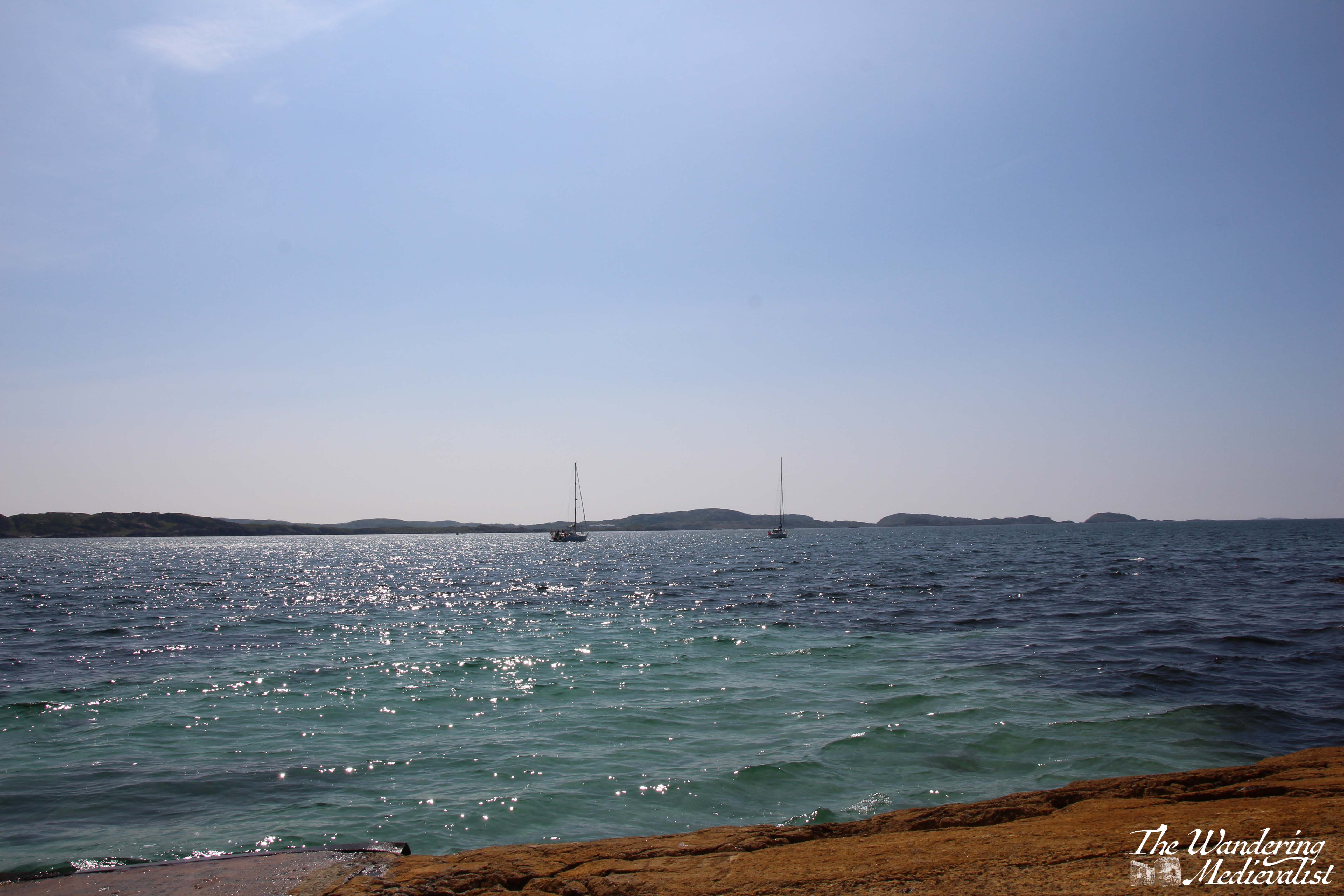
This café offers snacks, coffee and, most importantly, a gorgeous view of the beach and the Sound of Iona. As we had arrived about 20 minutes before the next ferry would start to load, and our tickets were bought well in advance and safe on my phone, we made ourselves comfortable and I found myself entranced by the beach and rocks around it, to which greenery clings where it can.
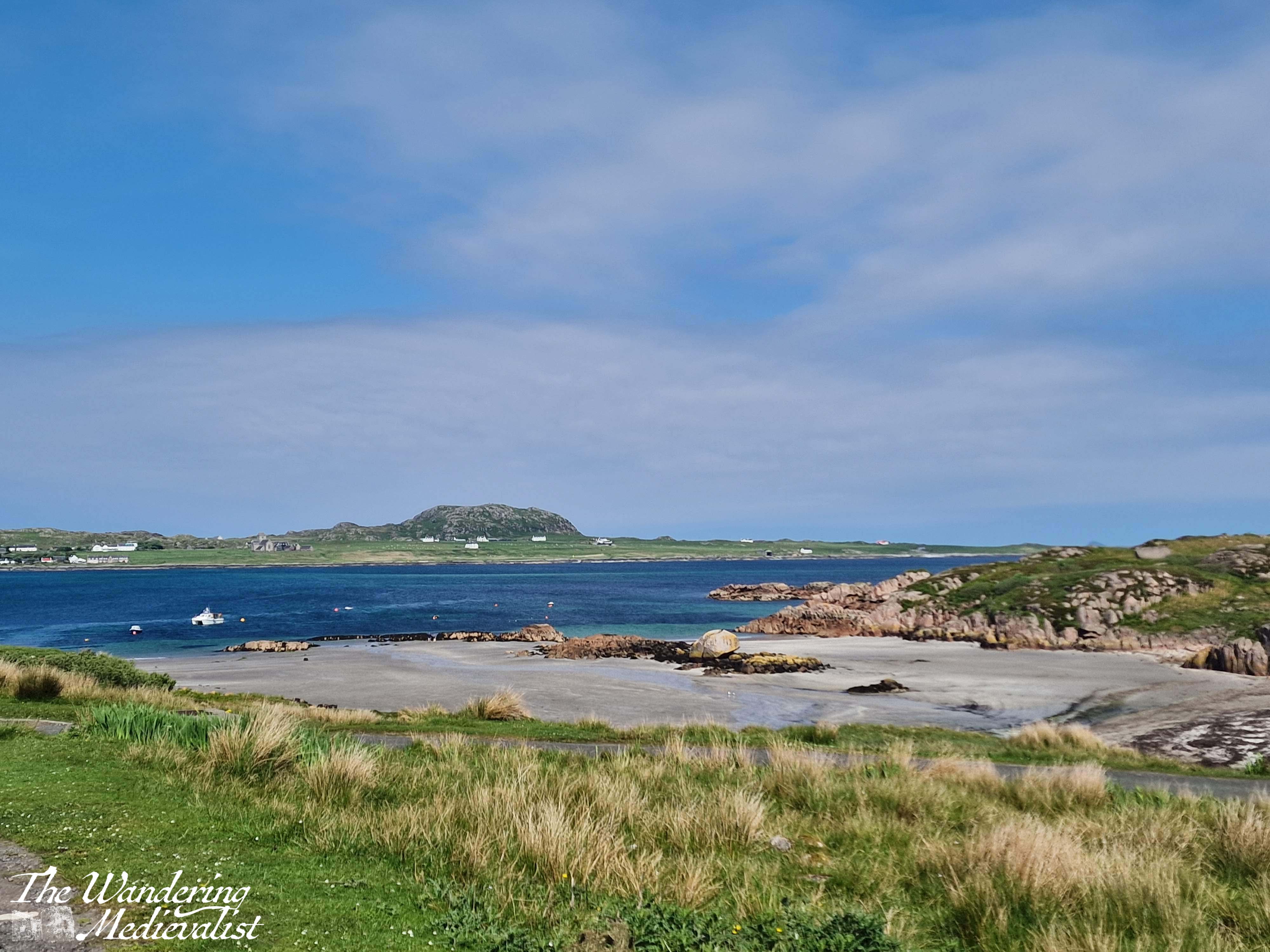
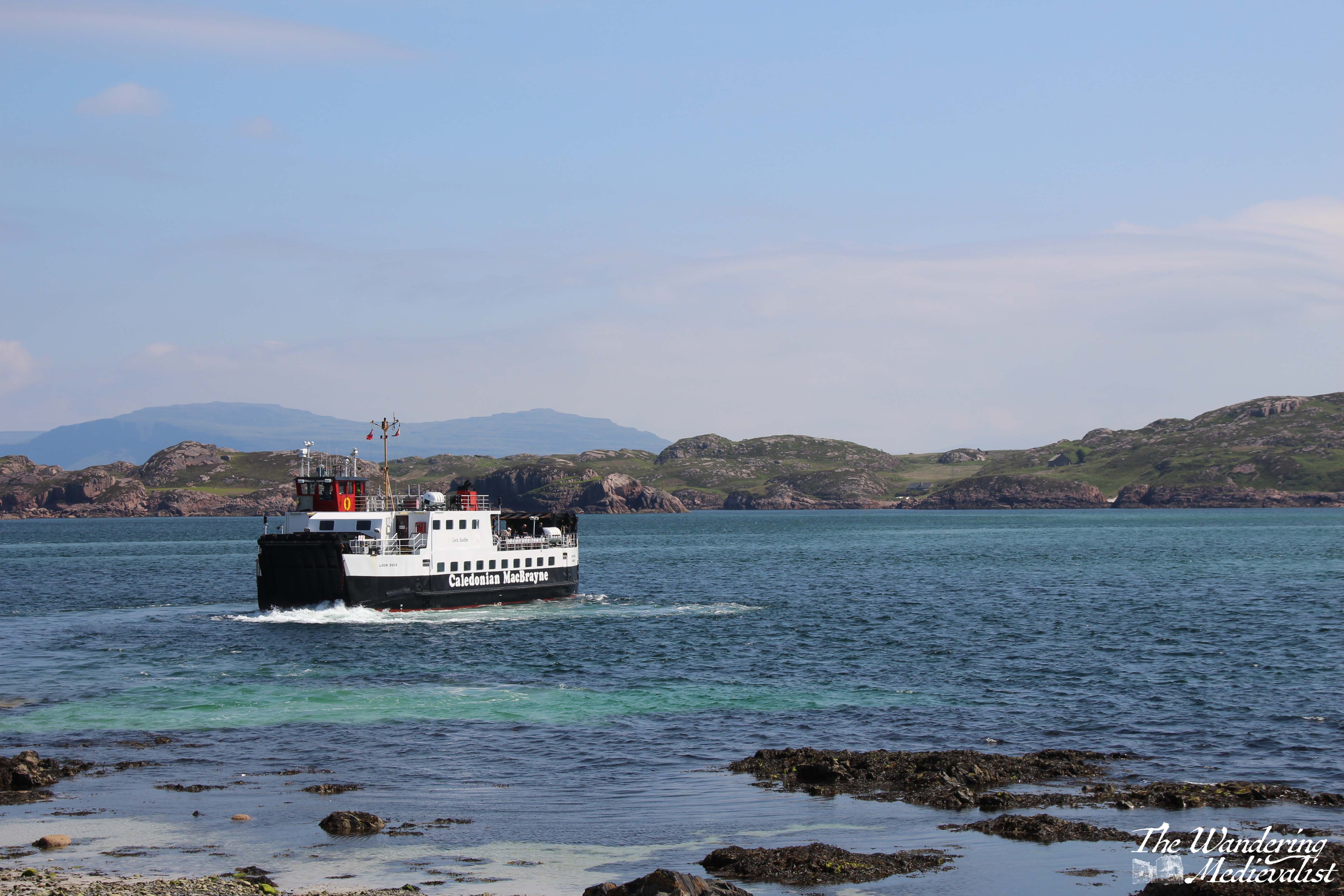
The ferry to Iona (see below) is large enough for some vehicles, though only locals are allowed to drive on; everyone else, including a number of cyclists, lines up to board and climb to the upper deck for the short ride across the sound – about 10 minutes. There is barely enough time to register that you are on the water before you are docking again, though I was lucky enough to have a seat that afforded a perfect view of the harbour as we arrived.
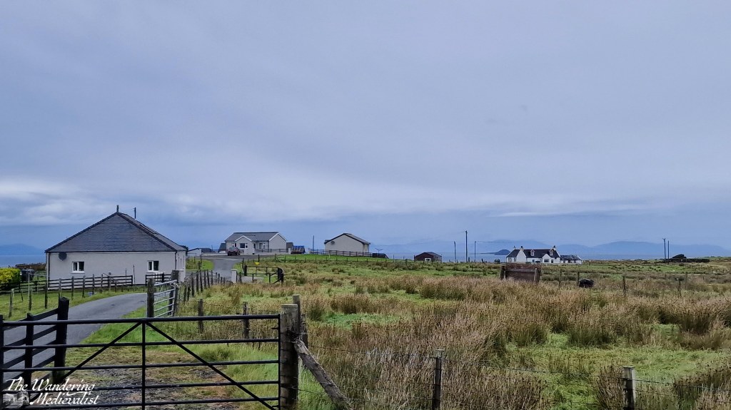
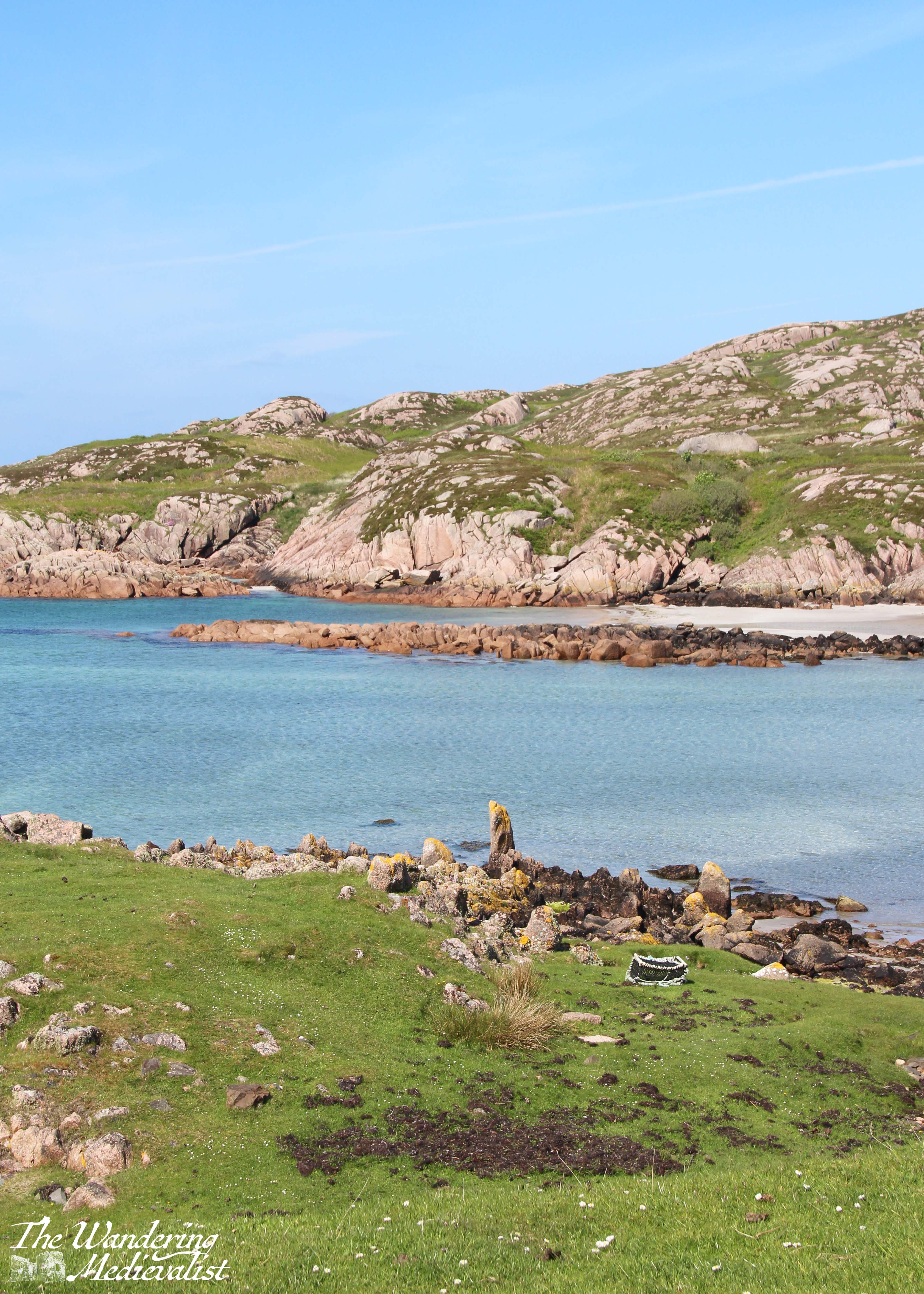
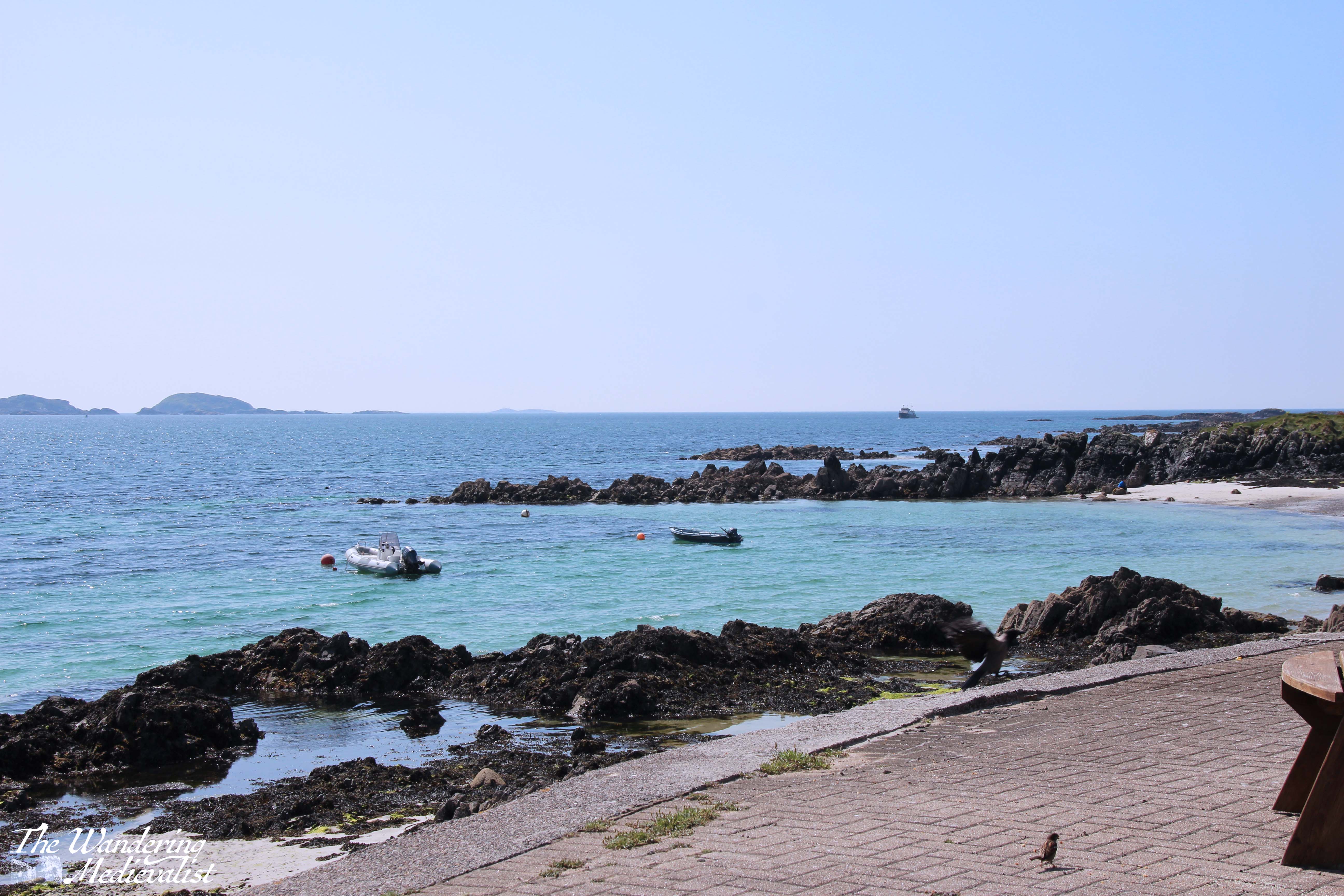
The town on Iona is small and picturesque, like so many Highland towns, consisting of only two or three streets with a few small shops, houses and places to stay, all nestled right up against the beach. Beyond the town you can just make out the abbey, if you are not too distracted by the Caribbean turquoise of the harbour water.
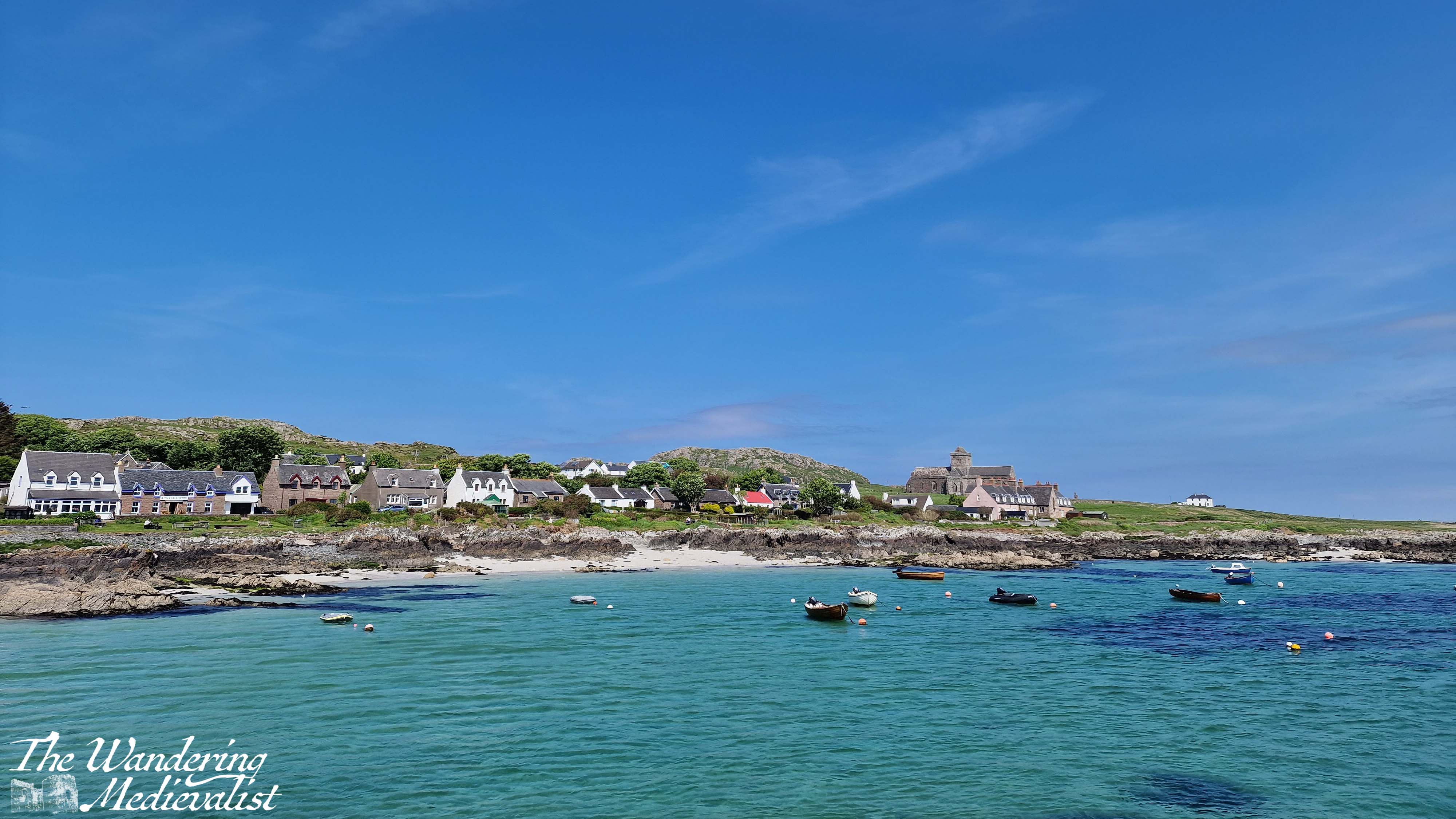
We had spent so much time and energy that morning rushing to get from Oban to Mull to Iona that once we finally set foot on the island, we decided it was most important to find some lunch and perhaps another cup of coffee (always paramount on our travels). Fortunately, the Martyr’s Bay Restaurant was just what we wanted: only steps from the ferry and providing an excellent array of drinks, snacks, sandwiches and of course home baking. They also sell Iona whisky and gin, as well as numerous other souvenirs. We took our lunch outside to sit in the sun and enjoy the view over the Sound. Side note, I had remembered to slather myself with suntan lotion that morning, much to my later relief. Anyone who says sunscreen is not required in Scotland is…well…just wrong.
Our lunch view:
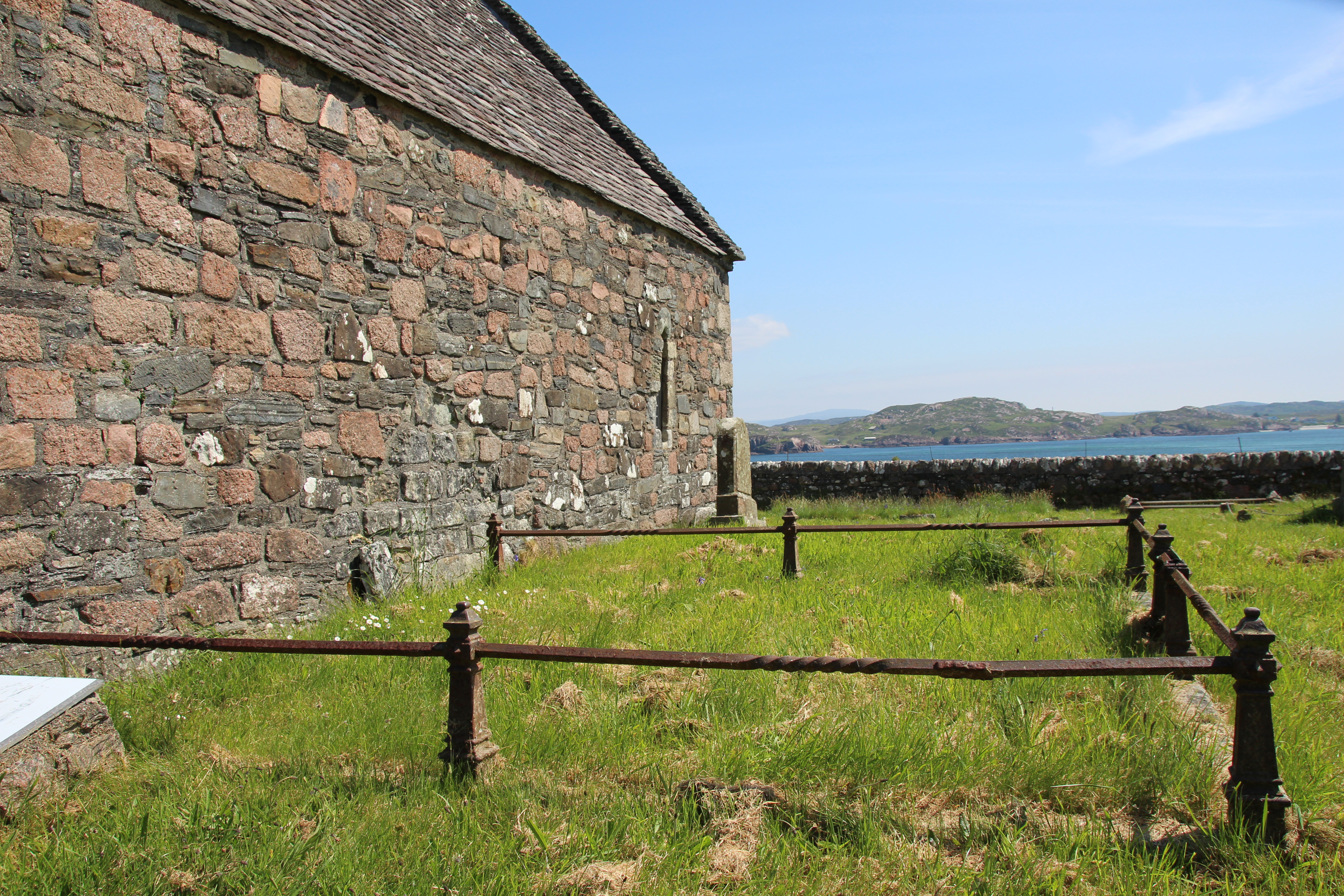
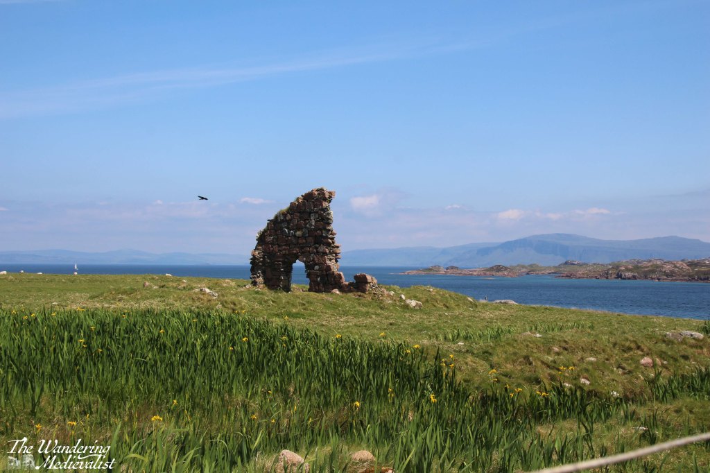
Fortified by sandwiches and a scone, we began our walk to the abbey, following in the footsteps of hundreds of years’ worth of pilgrims and tourists. At first, the path proceeds along the main road, leading in only a few minutes out of the modern dwellings and past the ruins of the Augustine nunnery. The nunnery was founded around 1200 by Ranald, King of the Isles, and while mostly ruined it is still one of the best preserved medieval nunneries in Britain.
You can opt at this point either to walk through or around the nunnery grounds, and we chose the former, passing as we did the medieval St Ronan’s Chapel, which was the parish church for the island community until the Reformation.
At this point, the road is about one car wide and lined on both sides by waist-high stone walls, providing a clear path for pilgrims as they wind their way towards the abbey. On the right are the organic gardens for several hotels and restaurants, demonstrating the need for islanders to grow at least some of their own produce – the closest Tesco, I would imagine, is several ferry rides away.
A short walk beyond the nunnery walls is the next step on the pilgrim way – MacLean’s cross. Erected around 1500, it marks the point where the track from the pier met the Sràid nam Marbh, the ‘road of the dead’, leading to the abbey. The cross was a focal point for pilgrims to stop and pray, and was carved on Iona from a single slab of stone. There is a more detailed view of the cross in the video at the end of this post.
MacLean’s cross and the pilgrim trail across Iona
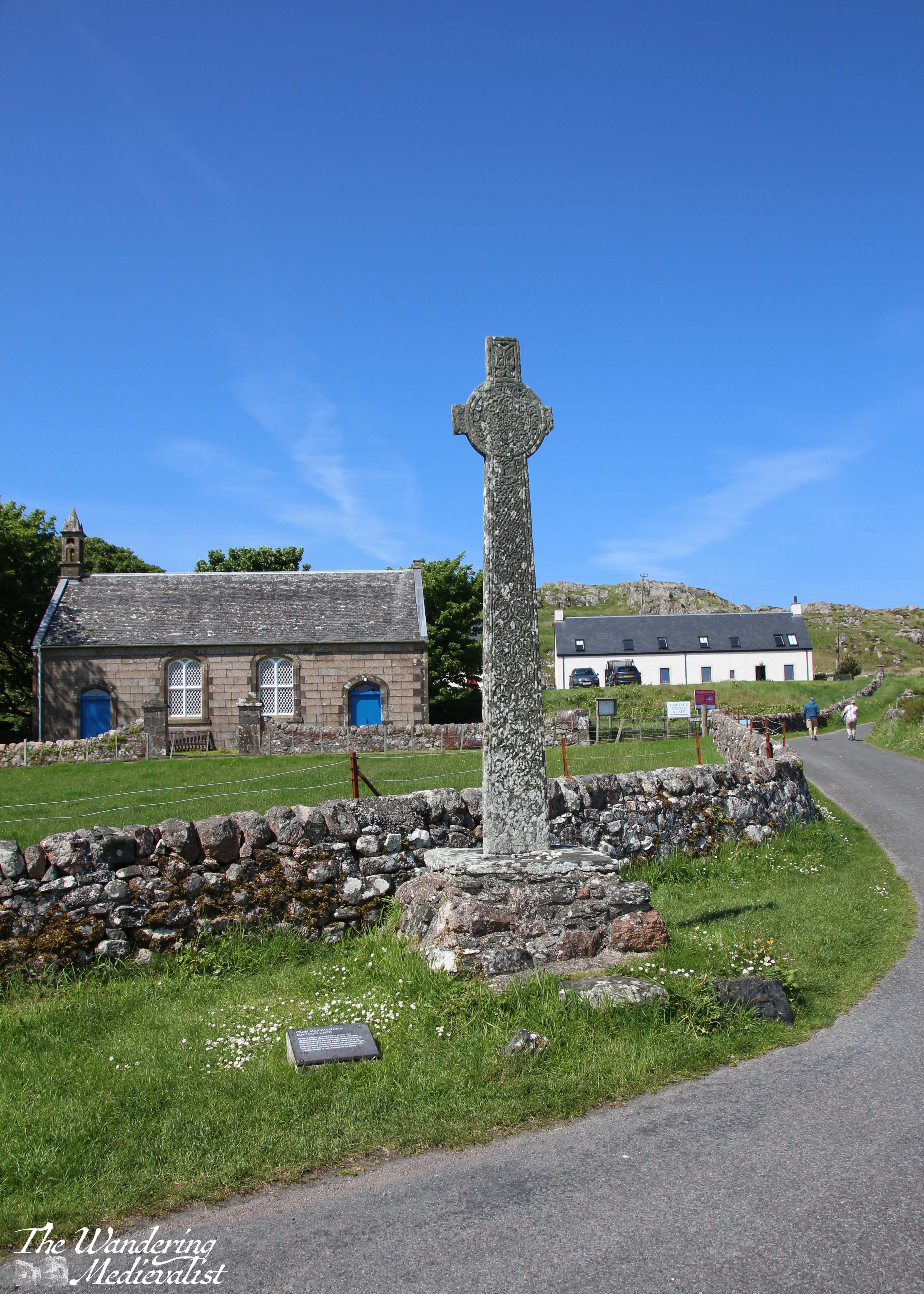

After resting at the cross, we continued up the gentle incline where in these modern times, one finds several artisan shops and the St Columba Hotel and larder, where more refreshments can be found. We powered along, determined to reach the abbey despite the undoubtedly pleasant garden in which several tourists were enjoying a G&T.
As we approached the abbey, the hill rose beside the road to the left, with cliffs of rock and rough earth reminding us of the nature of the island.
Reilig Odhrain
The first break in the wall to the right allows entrance to the Reilig Odhrain, the land consecrated as a monastic burial ground from the time of St Columba. The burial ground is free to enter, and does allow views of the abbey from a distance, as well as a wander through burial markers both old and quite new.
Legend said that this burial ground was the final resting place for many early Scottish kings including Macbeth and his grandfather Malcolm II, though a lack of written or archaeological evidence has cast doubt upon the theory. The Kings of the Isles were certainly buried here, which may have created some of the confusion.
In the centre of the graveyard is St Oram’s Chapel, dating from the 1100s, and the oldest intact structure on the island. Inside the chapel one can view a number of beautiful old stone carved slabs.
St Oram’s chapel and the view from the burial ground:

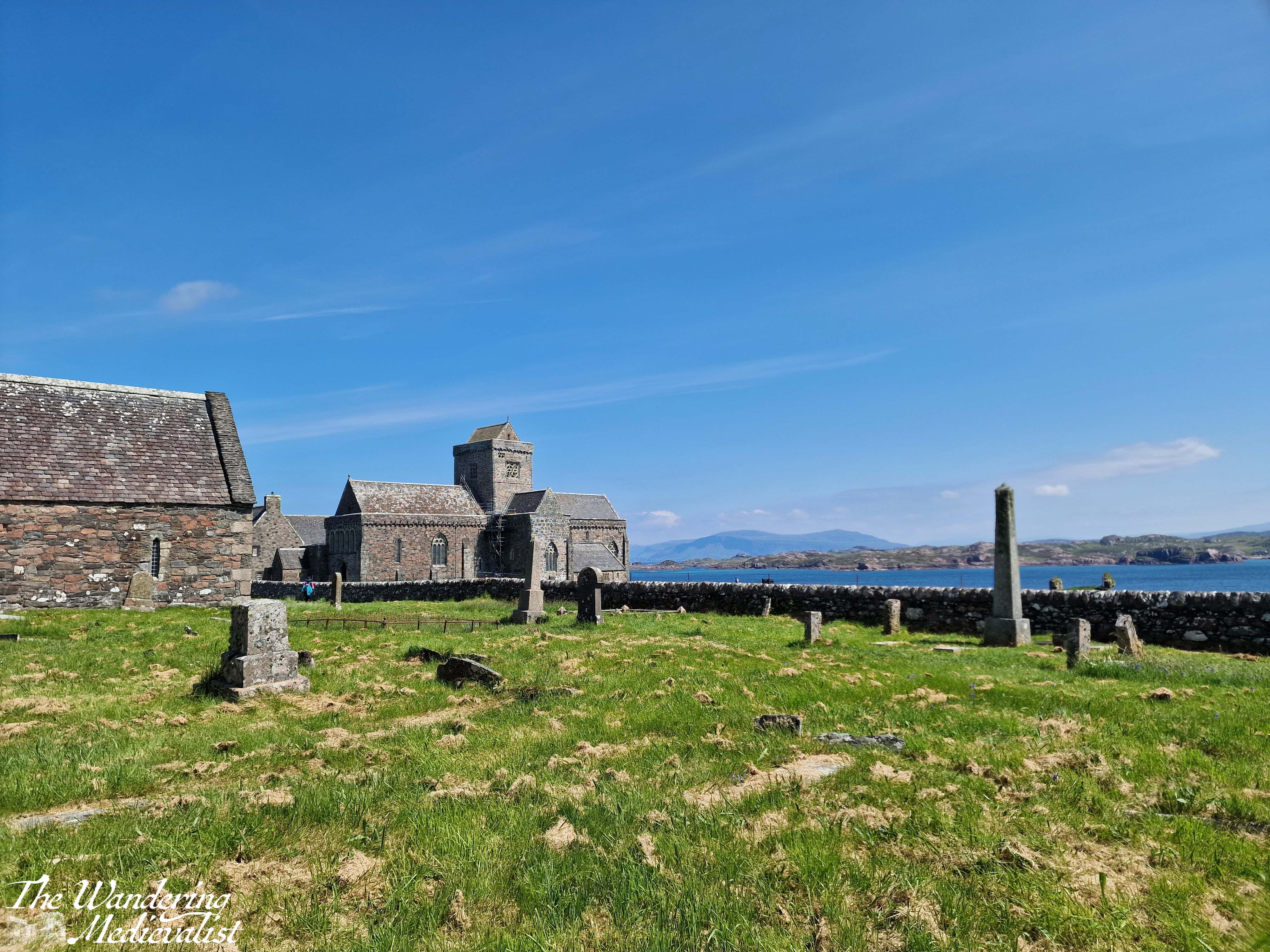
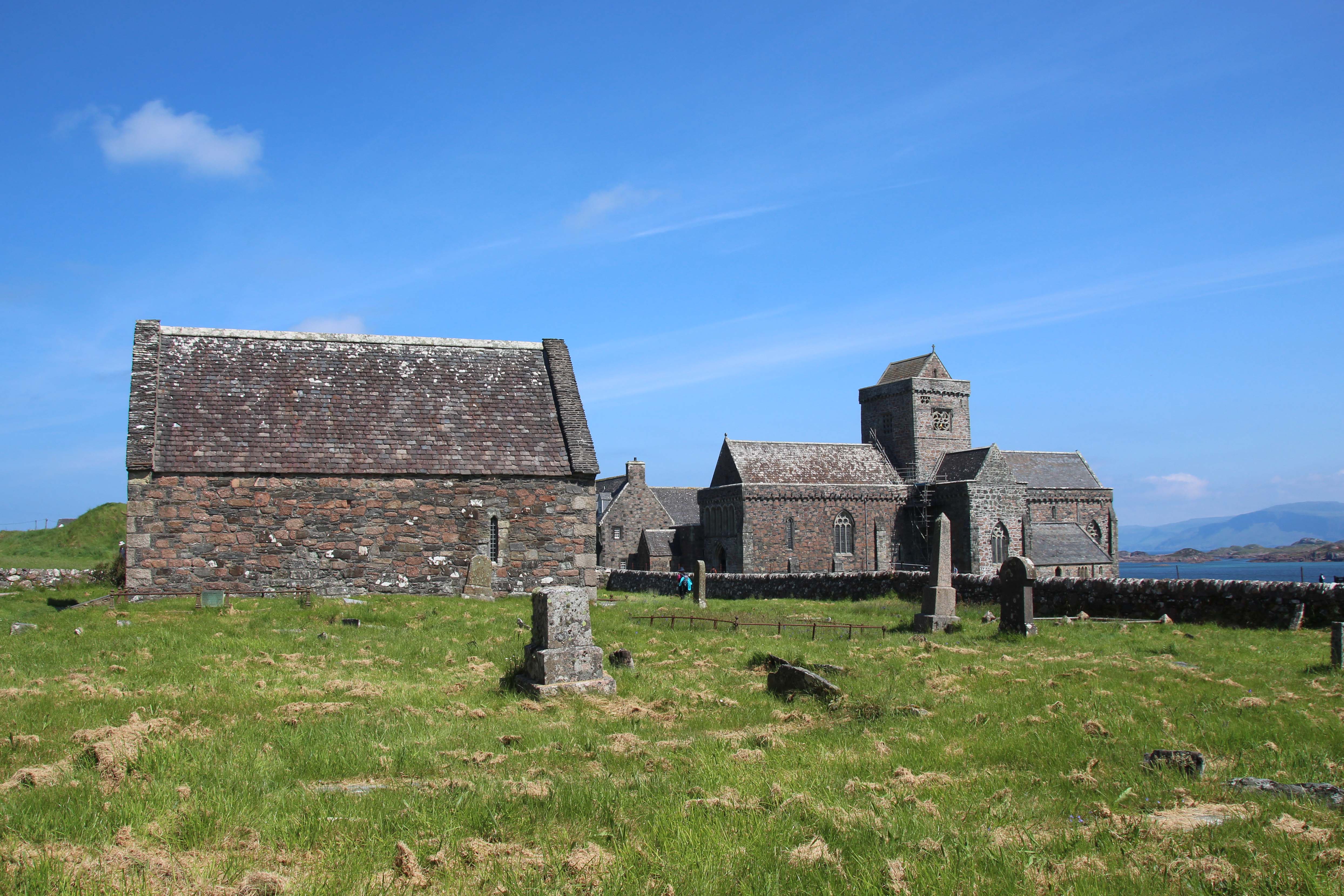
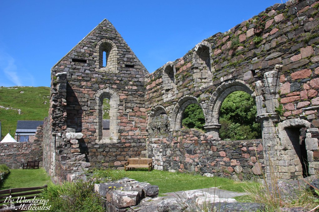
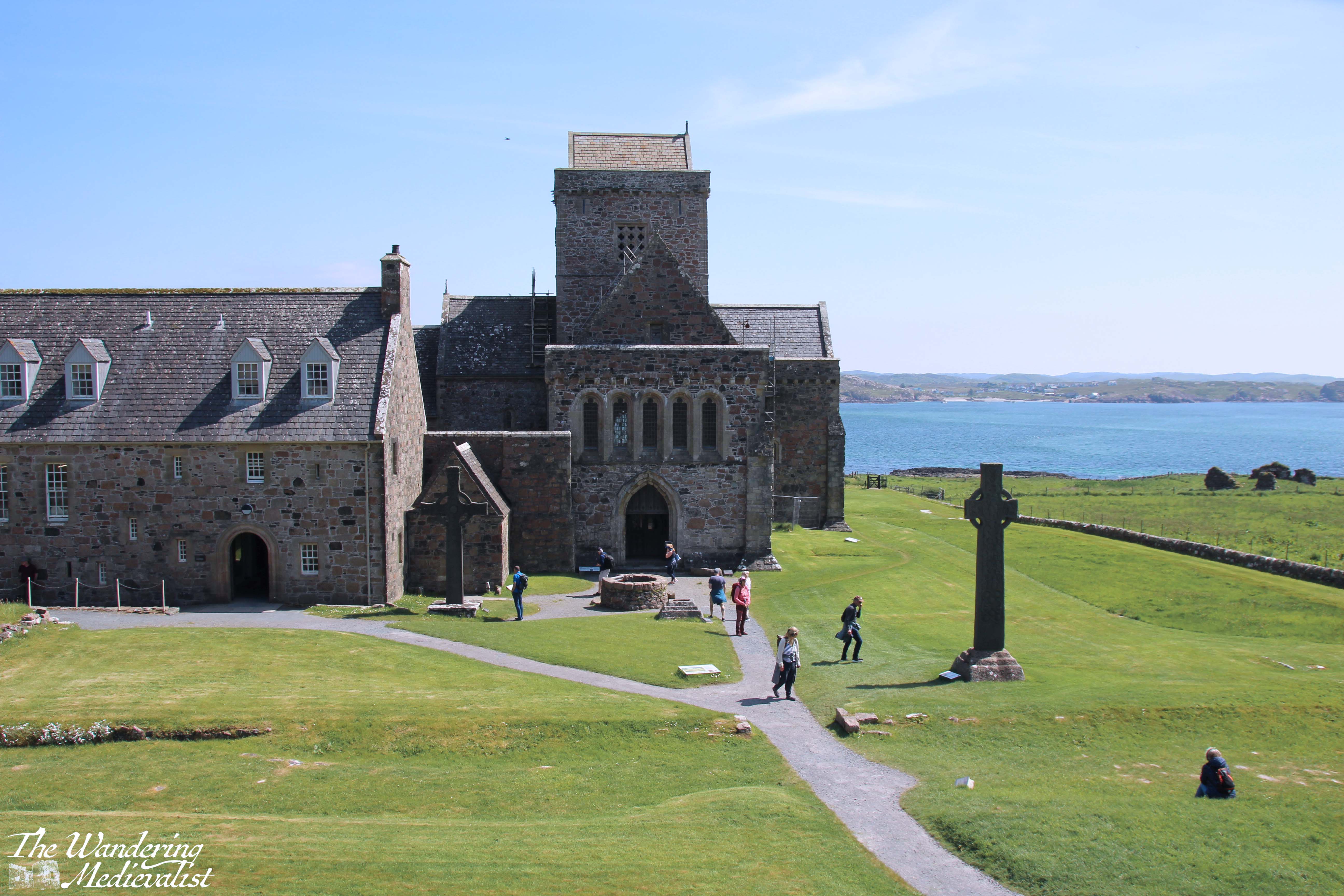
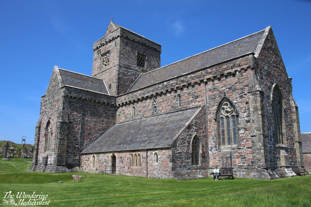
The Abbey
Beyond the burial ground, the main entrance to the abbey is made through the visitor centre, where you can also pick up an audio tour guide and printed guide to the site. It was my first opportunity to use my new Historic Environment Scotland membership!
Almost immediately upon entering the abbey grounds, we found plaques with information telling us about the road we were on and much more. To the left, the Tòrr an aba, ‘hill of the abbot’ was irresistible to climb, and I found that it did indeed offer excellent views over the abbey complex, the Sound, and the island. The hill may well have been the site of St Columba’s writing hut. Again, there is more of the view in the video below.
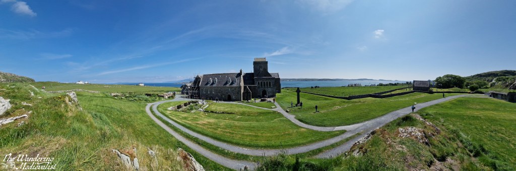
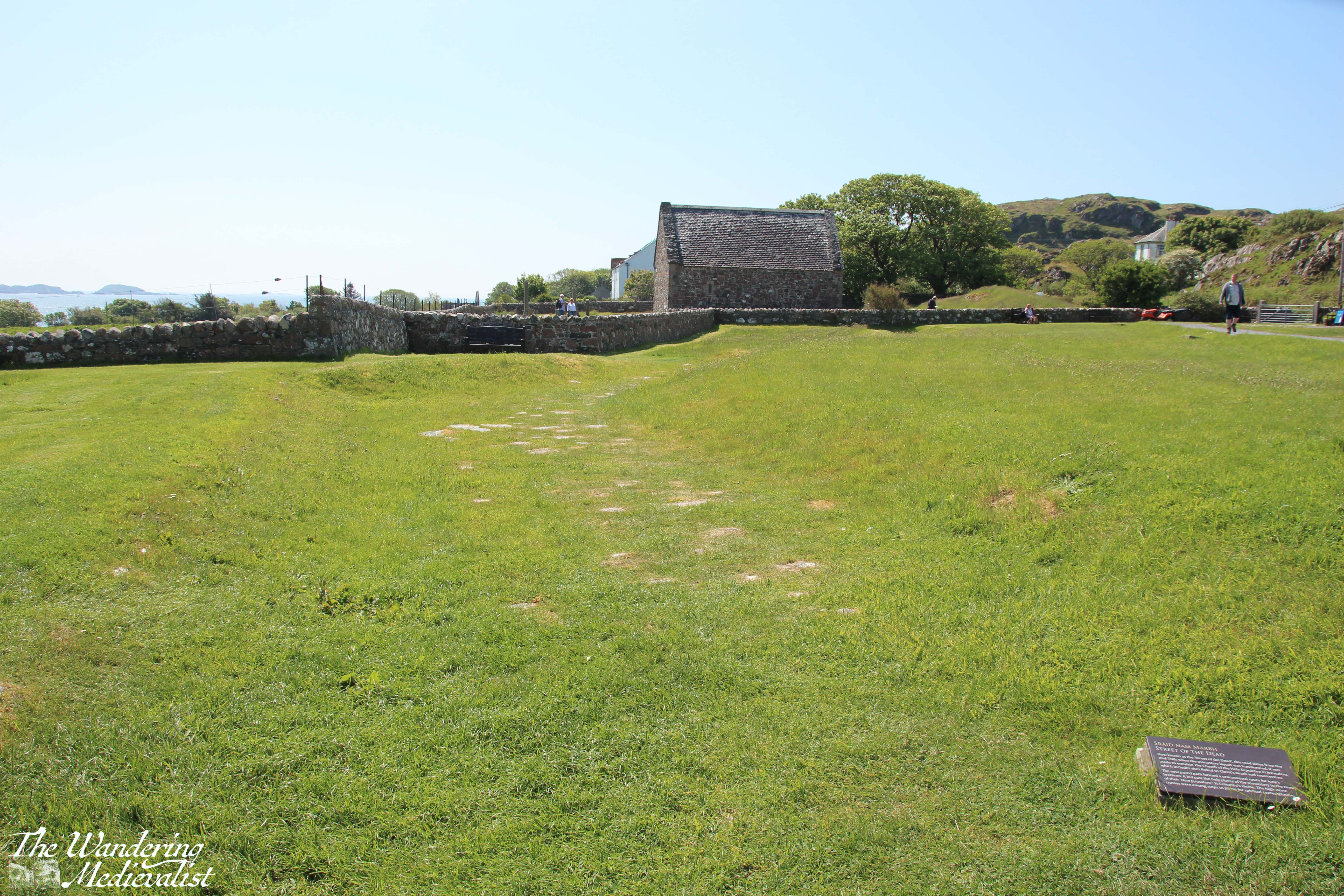
A faint dent in the grass leading towards the burial ground is in fact evidence of the pilgrim trail and processional way, the Sràid nam Marbh, ‘road of the dead’, which dates from the 8th century and was designed to emulate the Church of the Holy Sepulchre in Jerusalem. Most of the paving stones are lost or hidden, but particularly from the hill, one can easily envision the path.
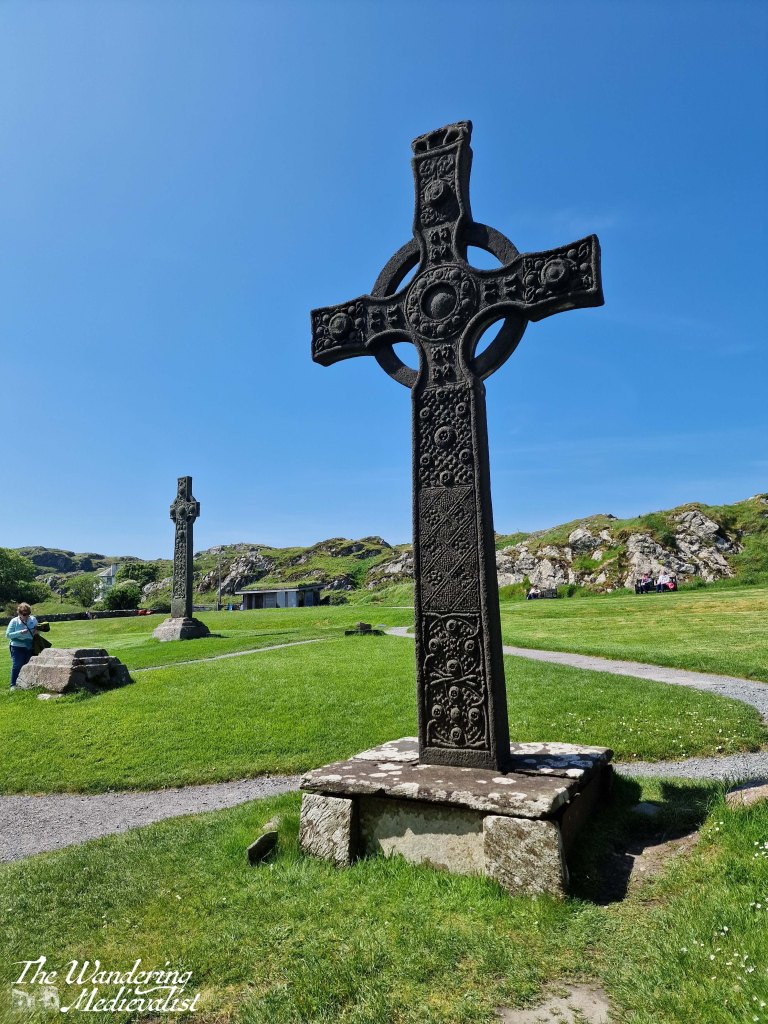
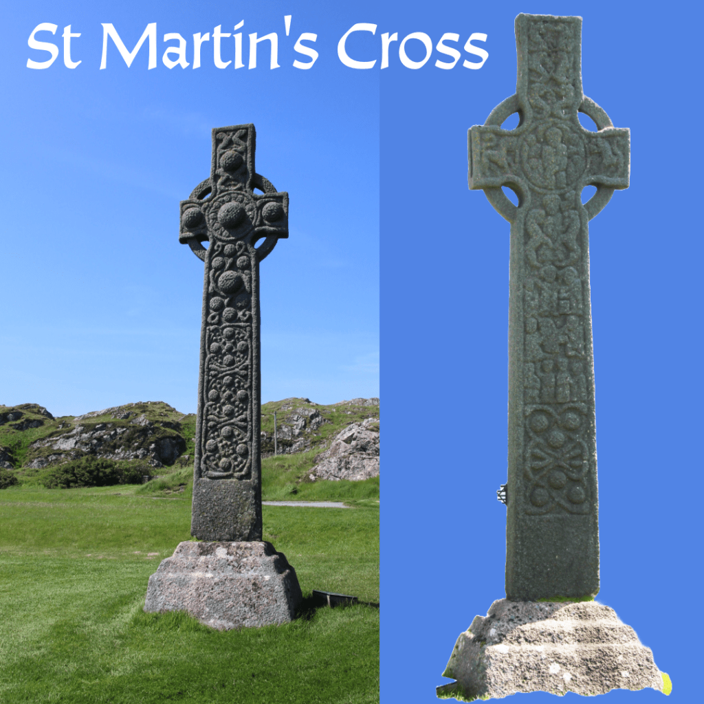
The hill also allows a good view of the original locations of the several high crosses that would have marked the path to the abbey. These date from the 700s and 800s, and while most live in the abbey museum, the cross of St Martin is still proudly in place, as it has been for more than 12 centuries. It is carved from a single block of stone, with one face bearing biblical scenes and the other snakes and Celtic bosses. At one point there were likely many more crosses.
When standing before a cross that has – for lack of a less dramatic term – witnessed so much history, one must be moved. I affirmed recently to a friend that it does not matter what religion or belief system you adhere to – or indeed do not – it is impossible not to find Iona a spiritual place. It is so peaceful, quiet, and out of the way, there is no question why it would have been chosen for monastic retreat.
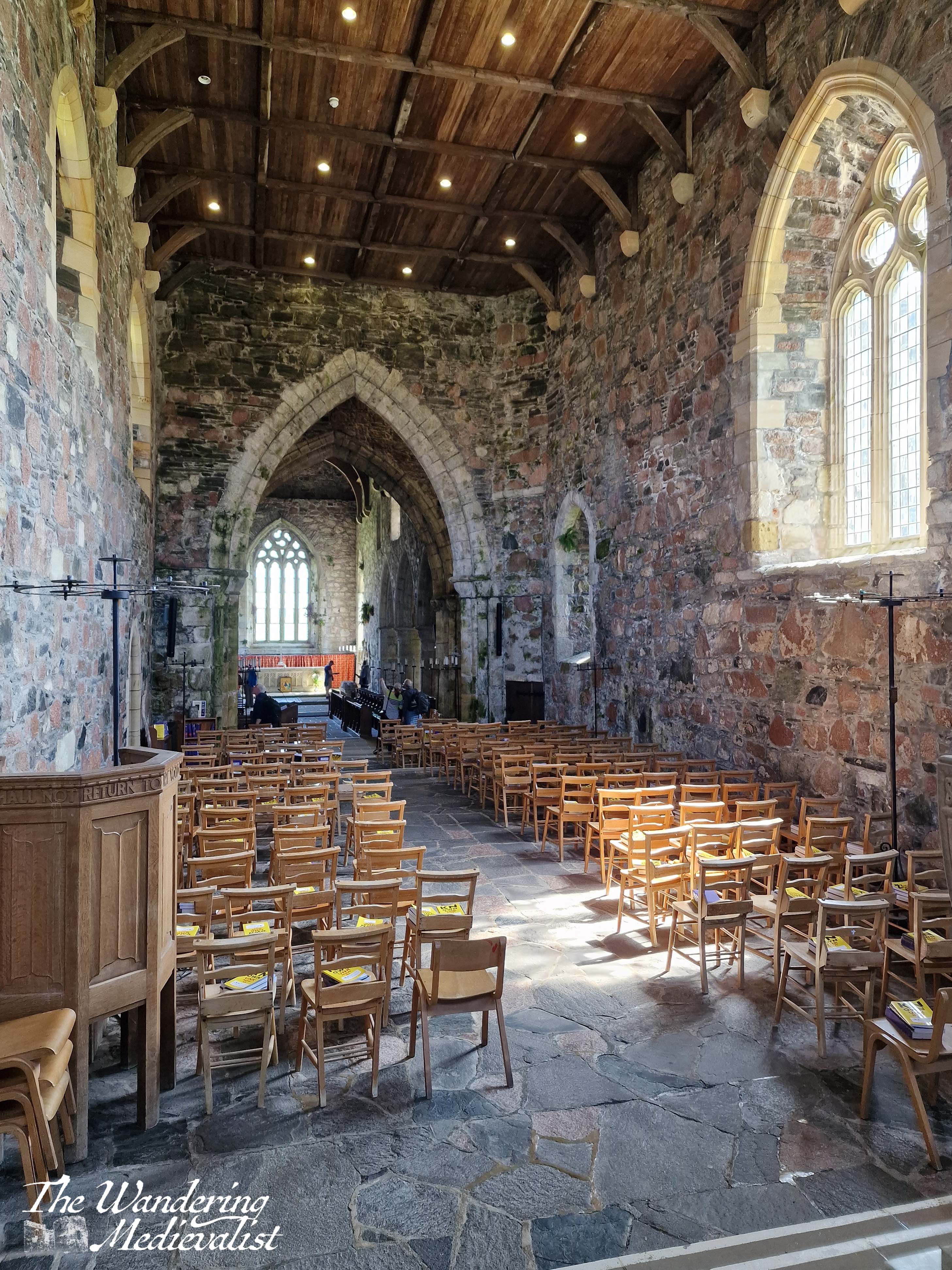
The Abbey Church
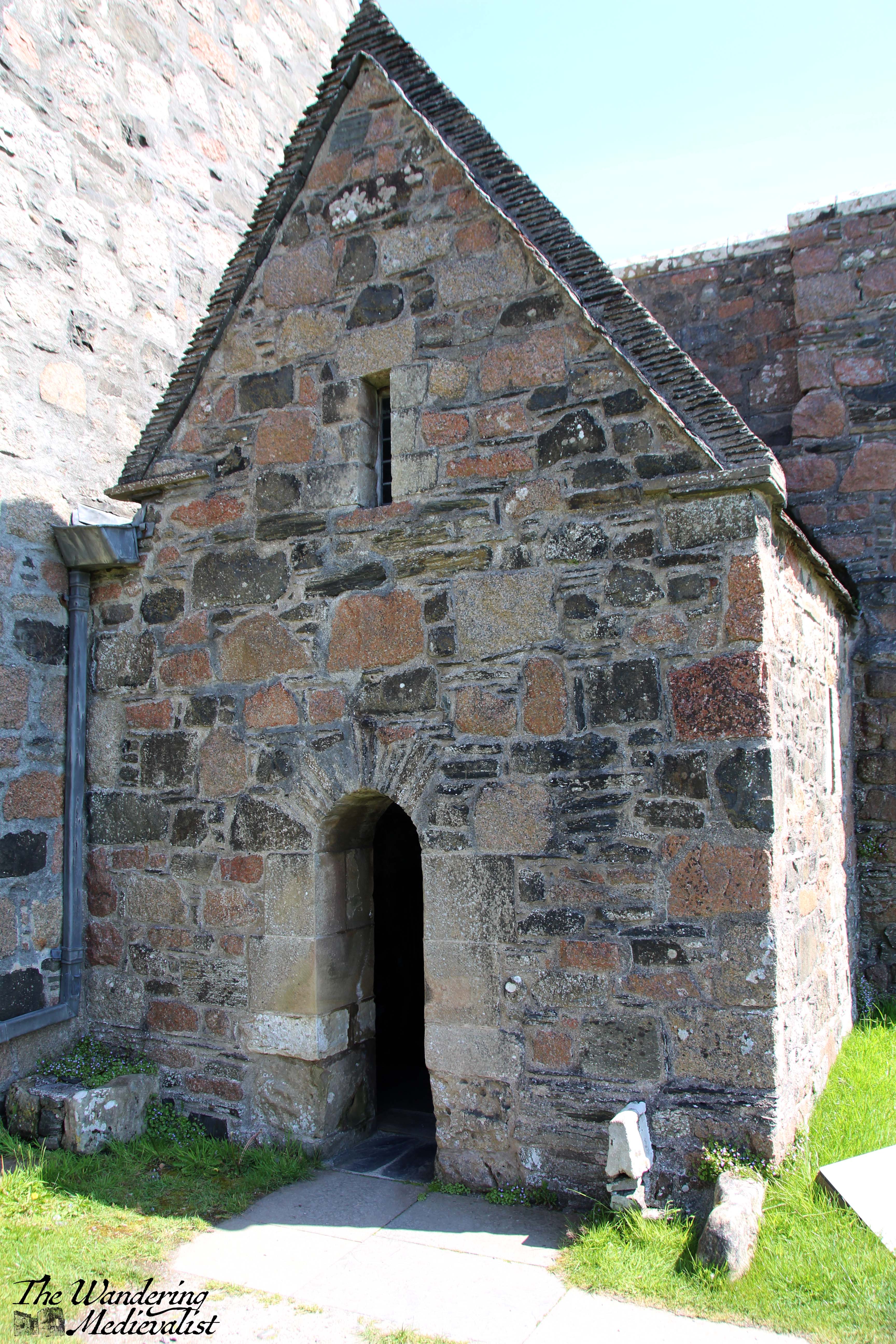
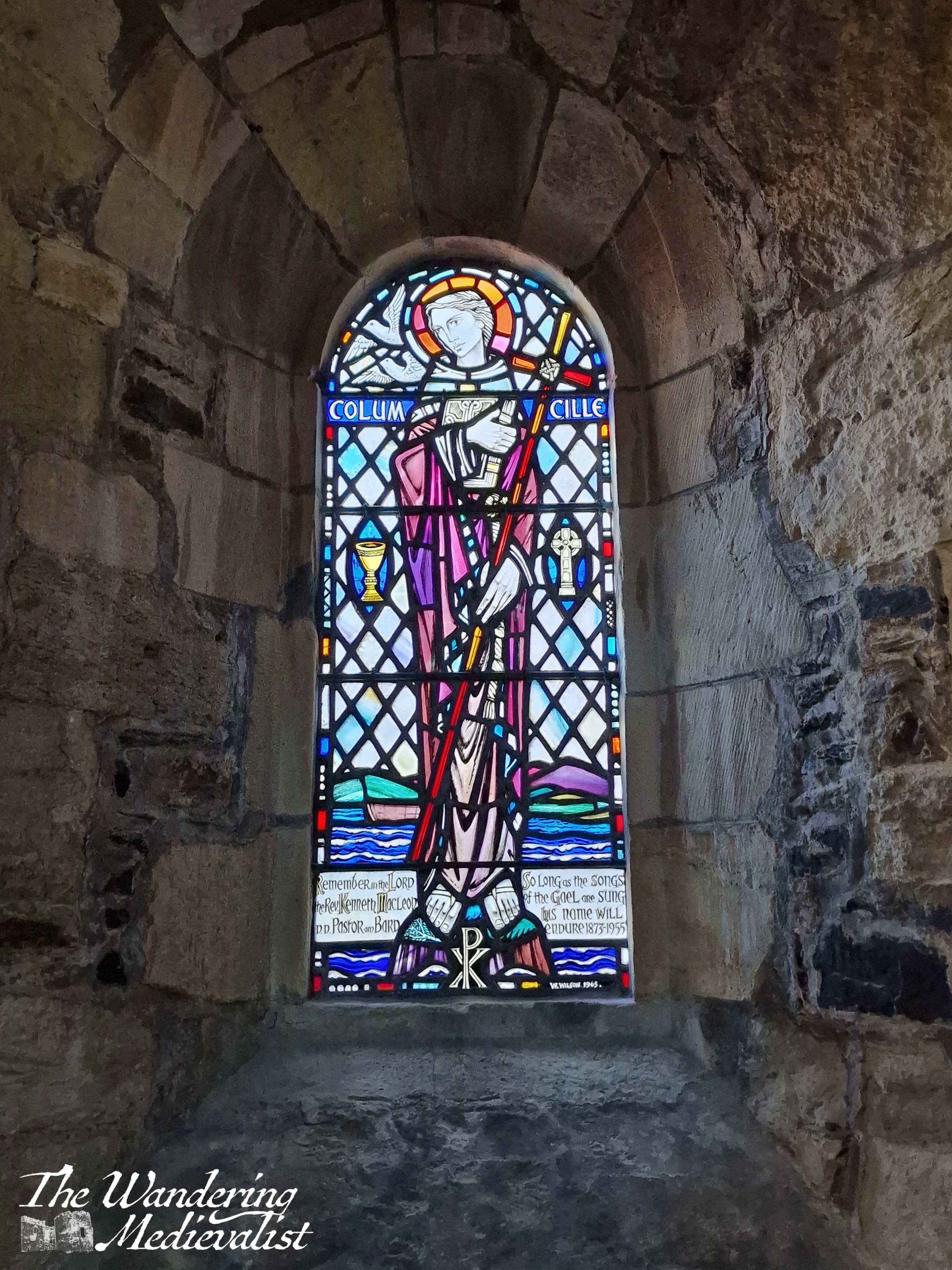
Once we had enough of viewing the crosses, I took a moment to duck inside the small chapel constructed just beside the entrance to the main church. This is St Columba’s chapel, likely built to house the most valuable relics the abbey possessed – the bones of the saint.
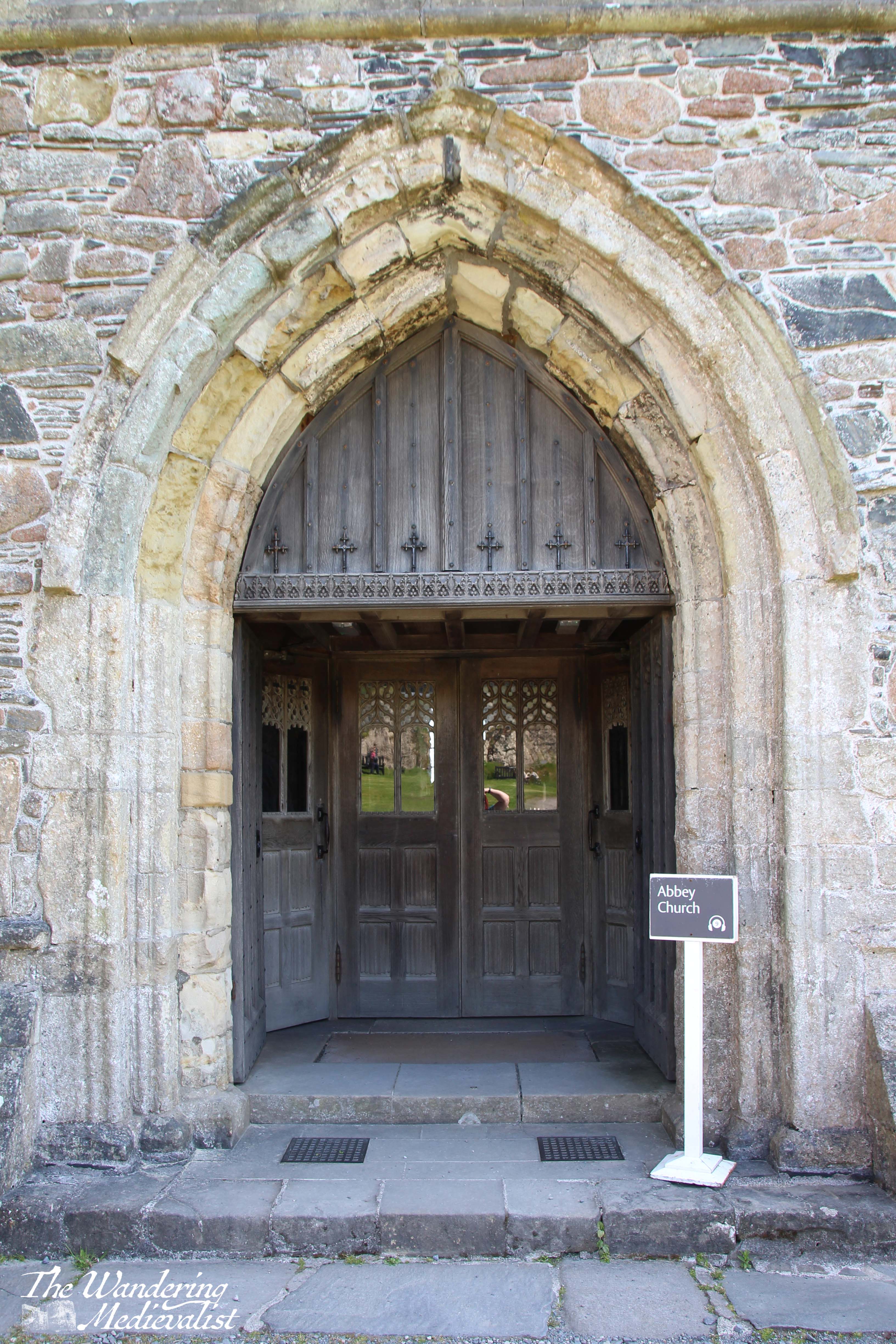
Any carvings that may have graced the main door have eroded, but a wooden screen has been constructed to provide access to the church, including traditional wooden doors that one finds in many British churches.
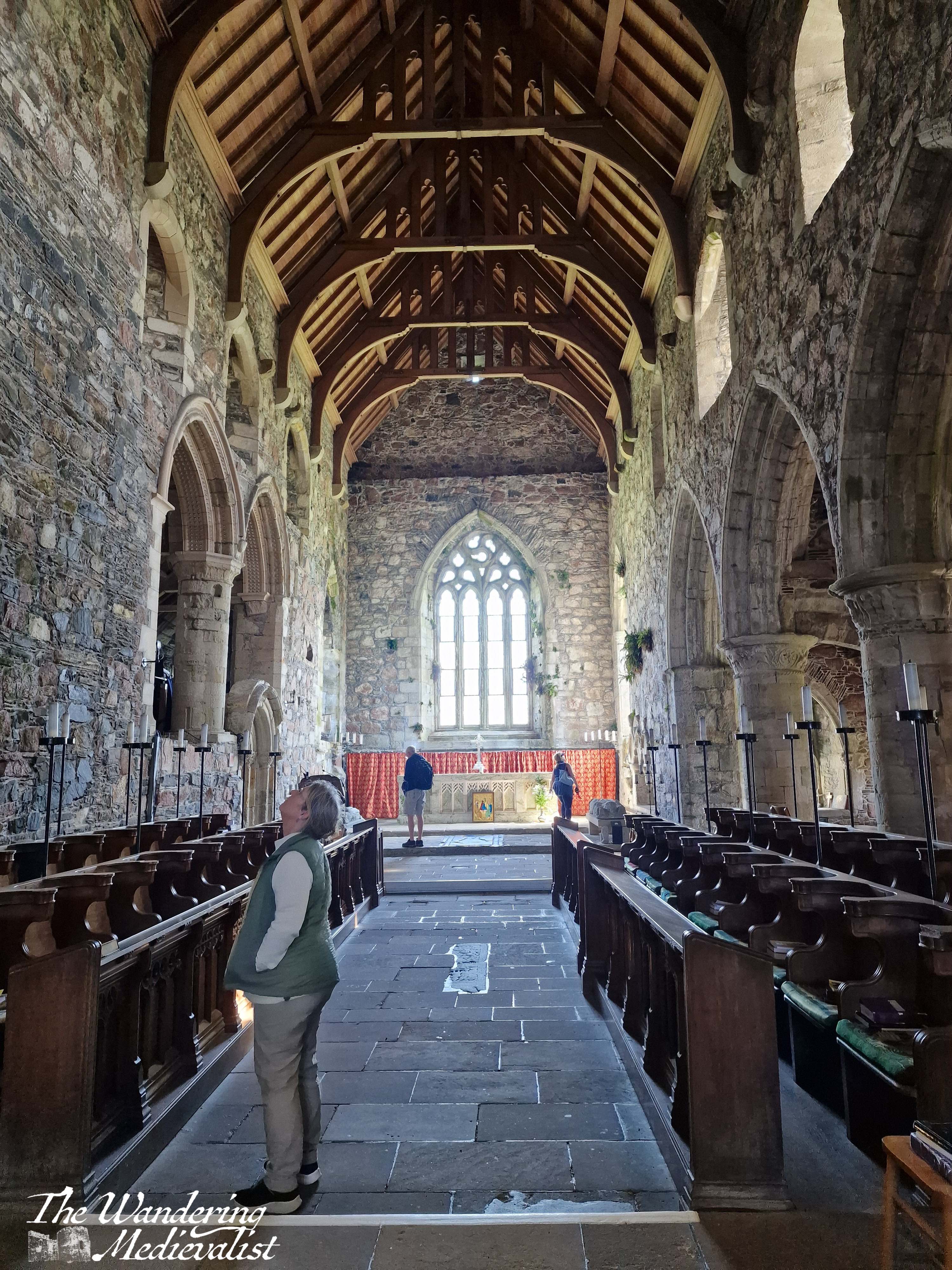
Inside, there is a beautiful reconstructed font, and a display of carved slabs that were grave markers. (again, more of this is visible in the video below) Many of the abbey buildings contain these slabs that showed off the skill of the Highland stone carvers of the high and late Middle Ages, and commemorated the chiefs of many nearby clans: MacKinnons, Macleods, MacLeans and of course the MacDonalds.
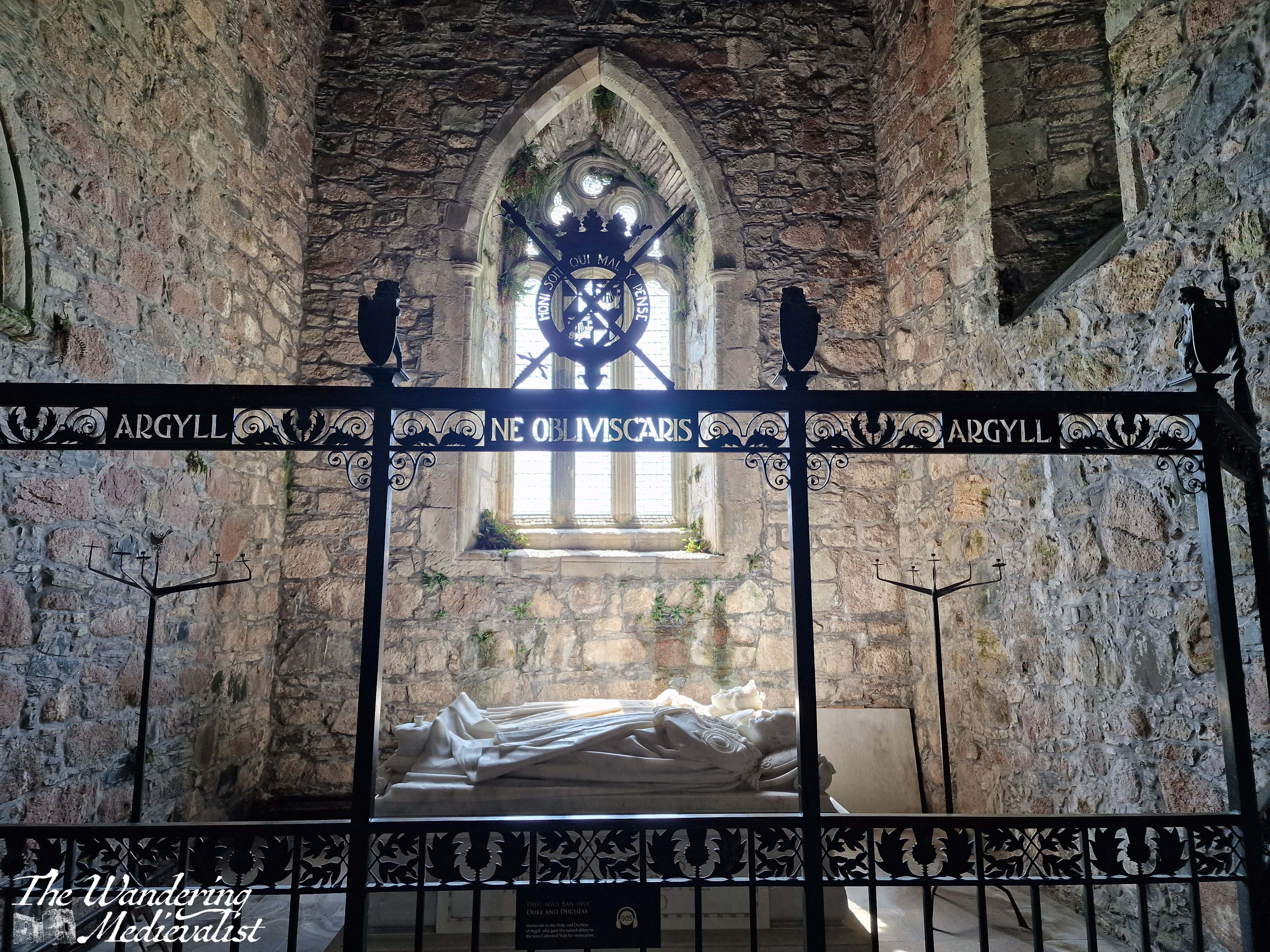
The church is positively breath-taking – it is still used for services, and has been reconstructed both for modern use and to teach visitors of its significance. Alcoves and chapels display information about the saint, the important visitors to the island, and more. One chapel is a stunning modern memorial to the 8th Duke of Argyll and his wife, who initiated the abbey reconstruction in the early 1900s.
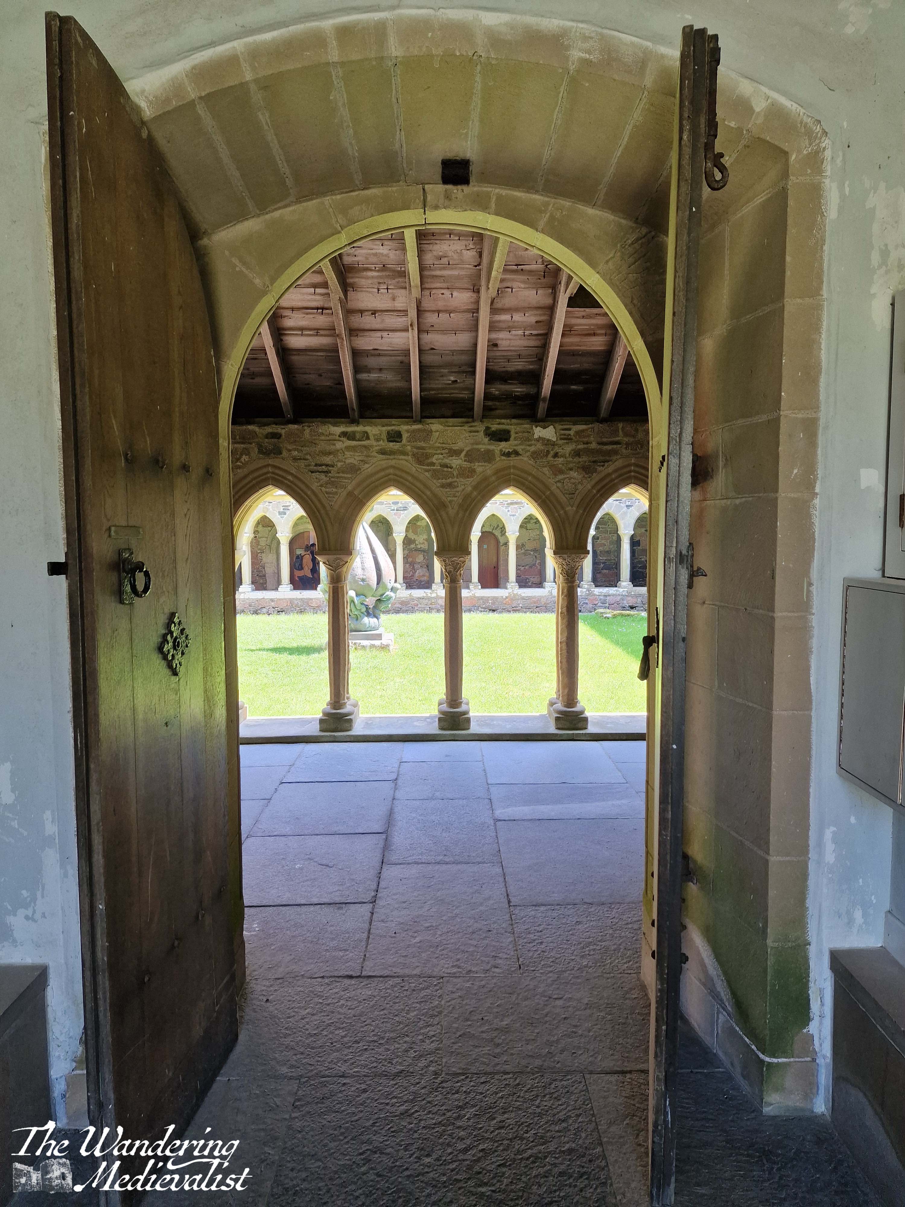
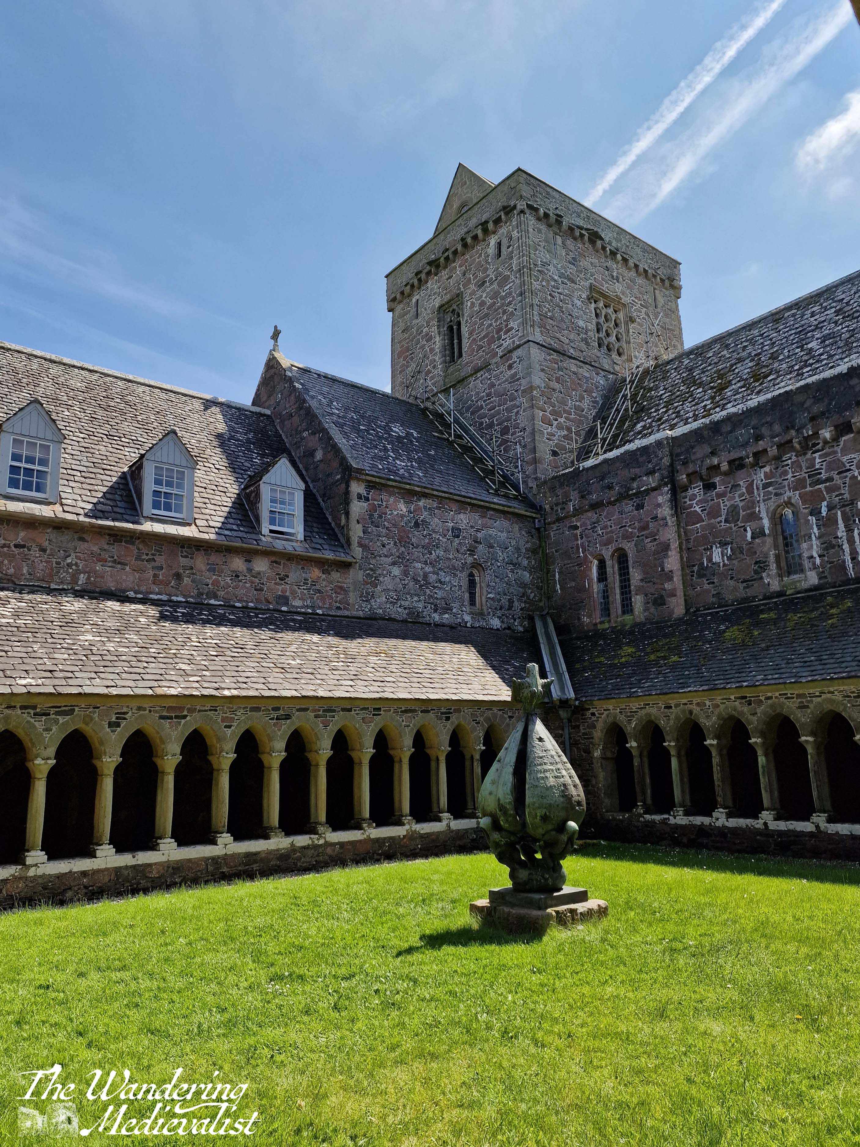
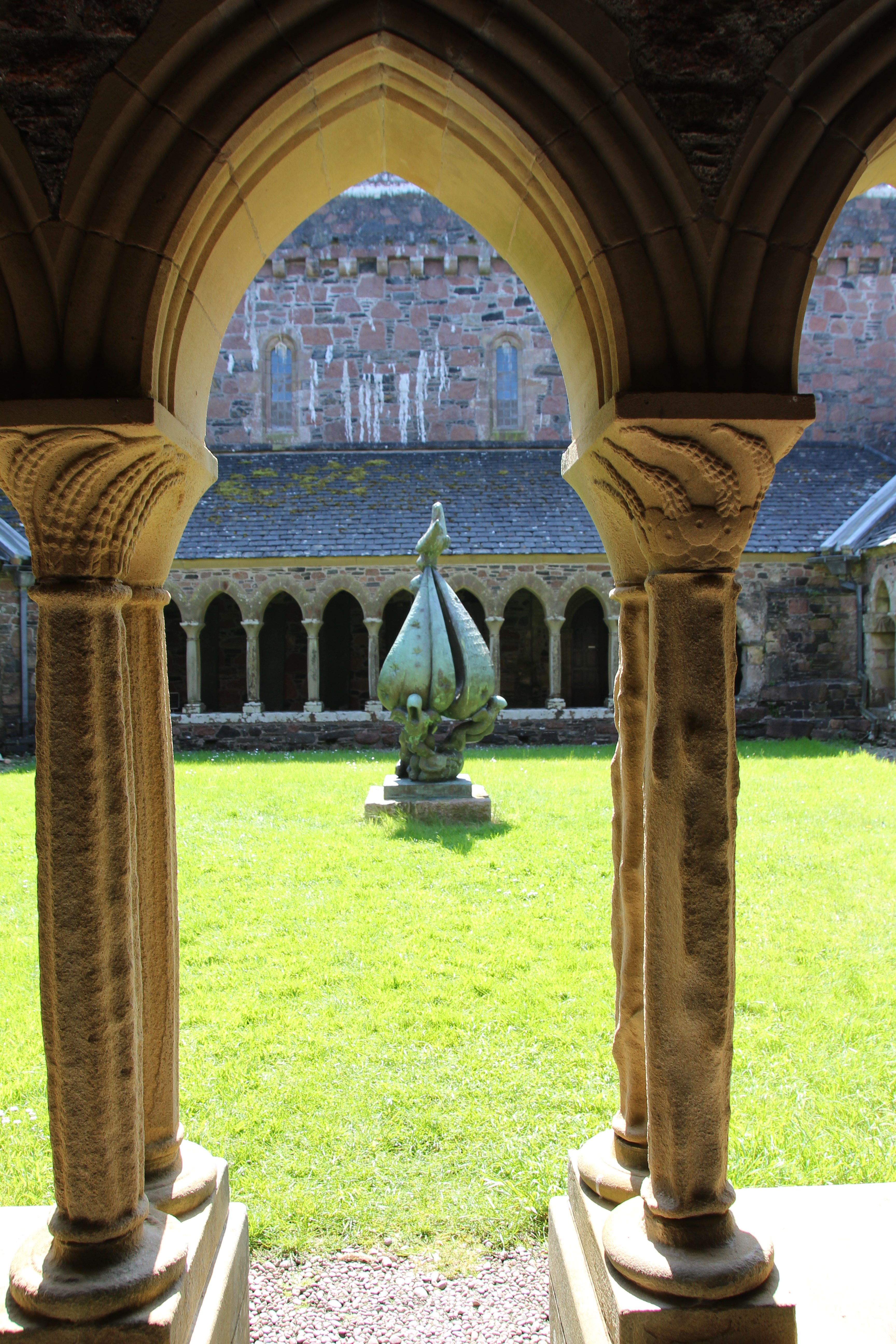
I have a love for cloisters, their symmetry and geometric shapes, and I was delighted to discover that Iona’s cloisters were reconstructed in the 1950s. Often one will find gardens, mazes, or other flora in the middle of a cloister, a fountain or a ‘tree of life’ symbolising the greatness of God in the centre. On Iona, the cloister bears a sculpture originally the work of a Lithuanian Jewish artist, who fled the Nazis during World War II. It is called ‘Descent of the Spirit’ and is inscribed in French indicating that the artist hoped for a better understanding of the human spirit.
After visiting the cloisters, we made our way outside into the brilliant sunshine. I had a bit of a wander around while Mum rested on a bench. What struck me, as mentioned above, was the absolute peace of the abbey; all visitors seemed by agreement to speak quietly or remain silent, and while there was of course wind and noise from sea birds, there was so little sound that I could almost imagine myself to be alone at times.
Eventually, slowly and with a touch of reluctance, we made our way back towards the ferry. We had one last visit to the Martyr’s Bay restaurant for a cold drink and a few souvenirs, and a short rest out of the sun.
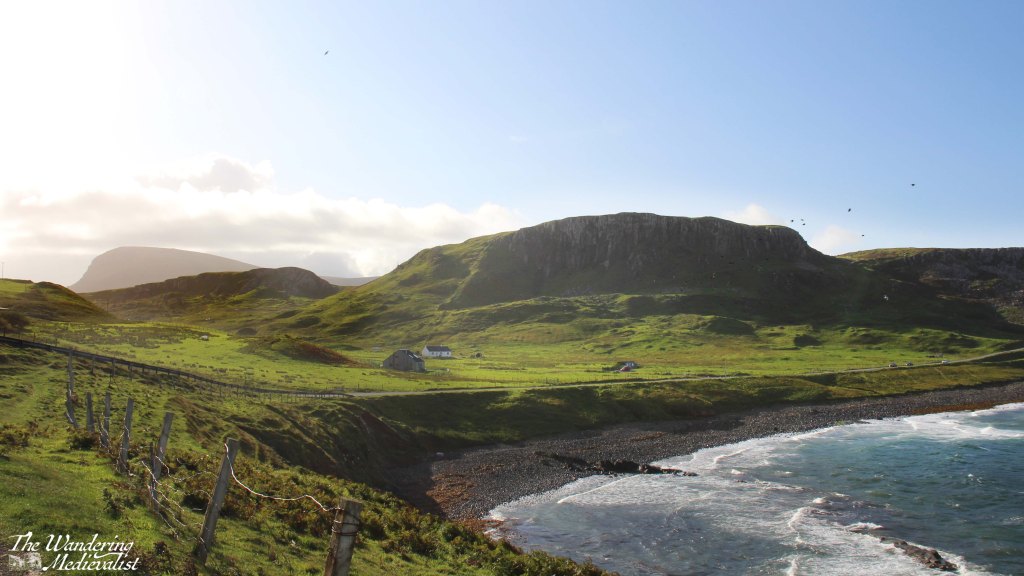
The island was busy with visitors, both to the abbey and to the many walks and beaches. There is no question that one could easily spend several days exploring, either on foot or on a bike. Alternatively, Iona is an easy day trip if you are staying on Mull and looking for an adventure; I think it would be rough to try to get over and back to Oban in one day, but it can be done at least in the summer when the light is late and the ferries are reliable.
As for us, I arranged for us to stay on Mull for the night, but I hope very much to return for longer. Skye is the island on which so much time and energy is spent – for good reason – but Mull has plenty of its own wonders.
By the time our return ferry reached Fionnphort, we were both tired – it had been a long day, an early start, and the excitement and wonder of visiting Iona took a lot of energy. My final delight of the day was to see, on the beach, a trio of highland coos relaxing on the sand and munching on the abundant seaweed.

Check out this video for more pictures of Iona:
Find pictures of Iona and other abbeys at my online shop: