October has been a whirlwind of work travel and so I have not had time to sit down and write as I hope to do each week. I started this post a few weeks back, when my memory of the walk was fresh, but now have finally been able to finish.
On our recent return to Skye, Dad and I chose a more challenging hike for our first day, and so by day two were looking for something gentle to keep us moving but not over-tire.
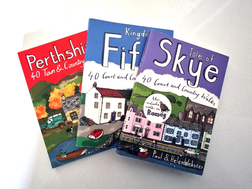
The solution was to dig out my Isle of Skye walks book, one of a series that I have been collecting. While there are plenty of walking books out there including the Ordinance Survey series – excellent options that tend towards longer trails – I have found these smaller books to be a wealth of knowledge for shorter strolls.
It took us only a few minutes to decide upon the Two Churches walk, an option I had noted for future exploration on our last visit, and helpfully located only about fifteen minutes away.
The Two Churches walk is about 3km long, a relatively flat loop with a combination of well-kept moorland paths, forest trail, and a short section on the roadside. It leaves from a well-signed lay-by with enough parking for between 5-10 vehicles; we found it almost empty, as many of our fellow walkers were clearly locals.
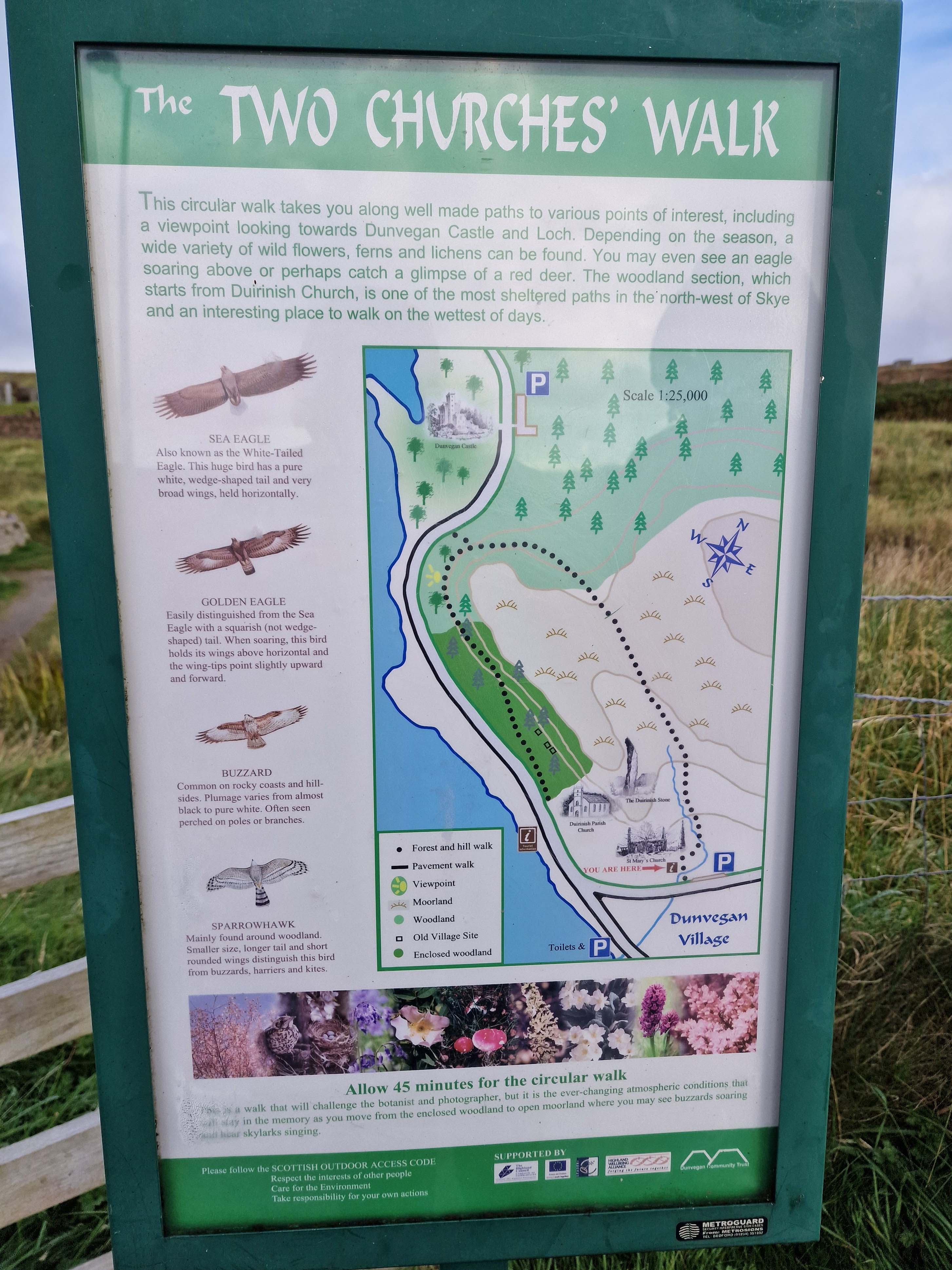
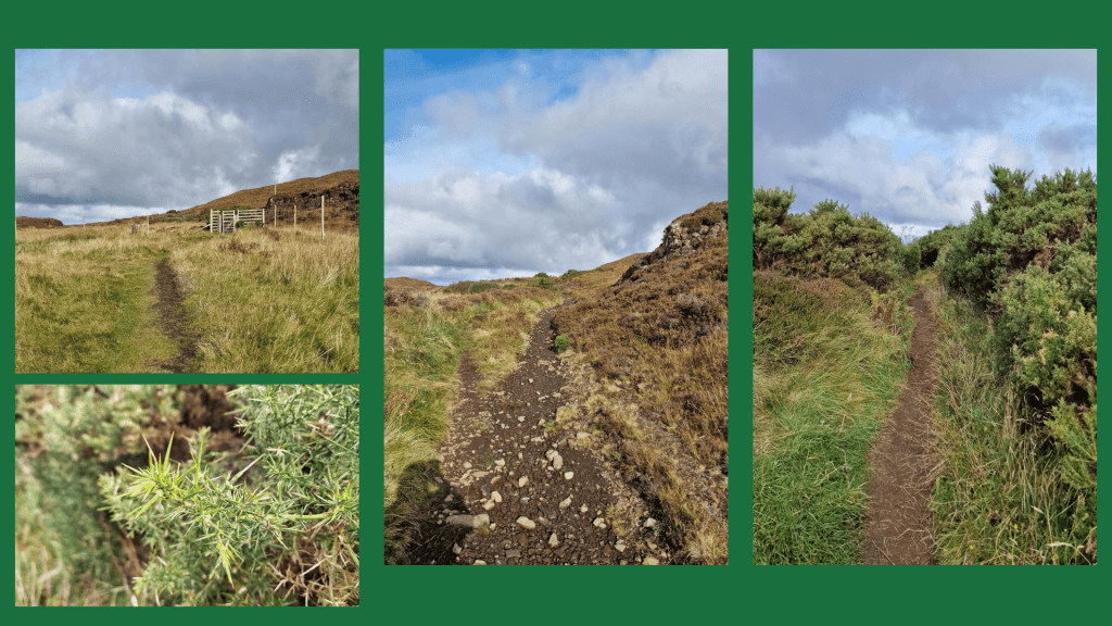
The path starts just to the right of the ruins of St Mary’s Church. It is a well-kept trail with a slow incline. There is a plaque with details about the walk and its route, as well as some of the birds you may see along the way (though we did not). You get nice views back towards the churchyard, with grassland on both sides. On the day we visited it was mostly dry though I imagine it would be muddy at times, and once the path turns rockier a bit further on, it could be slippery in the wet. I would definitely recommend good sneakers or walking boots to traipse through the puddles.
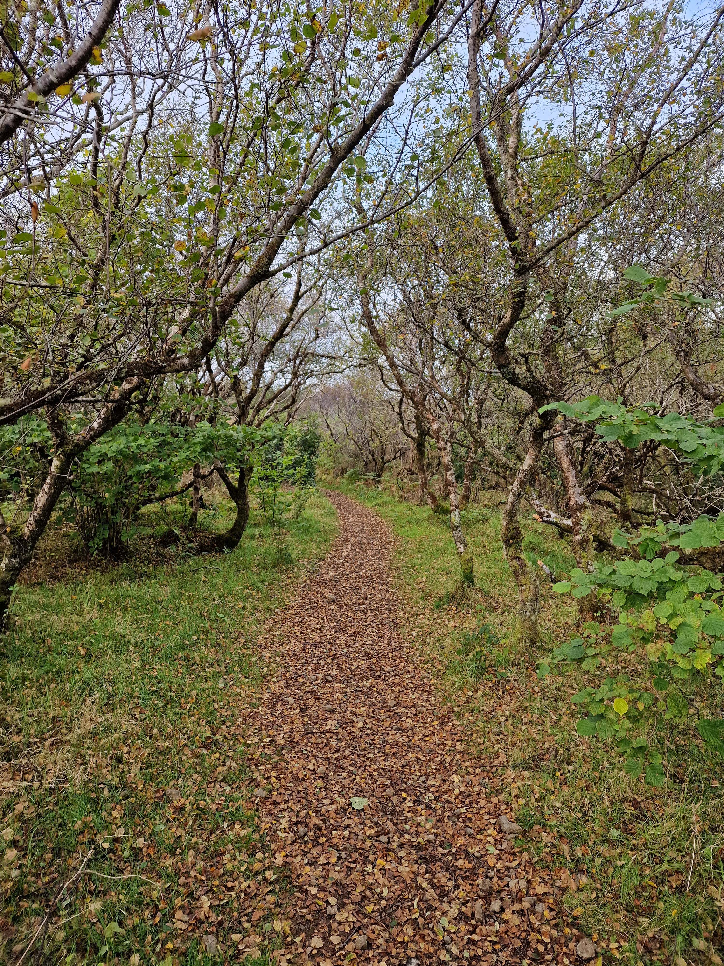
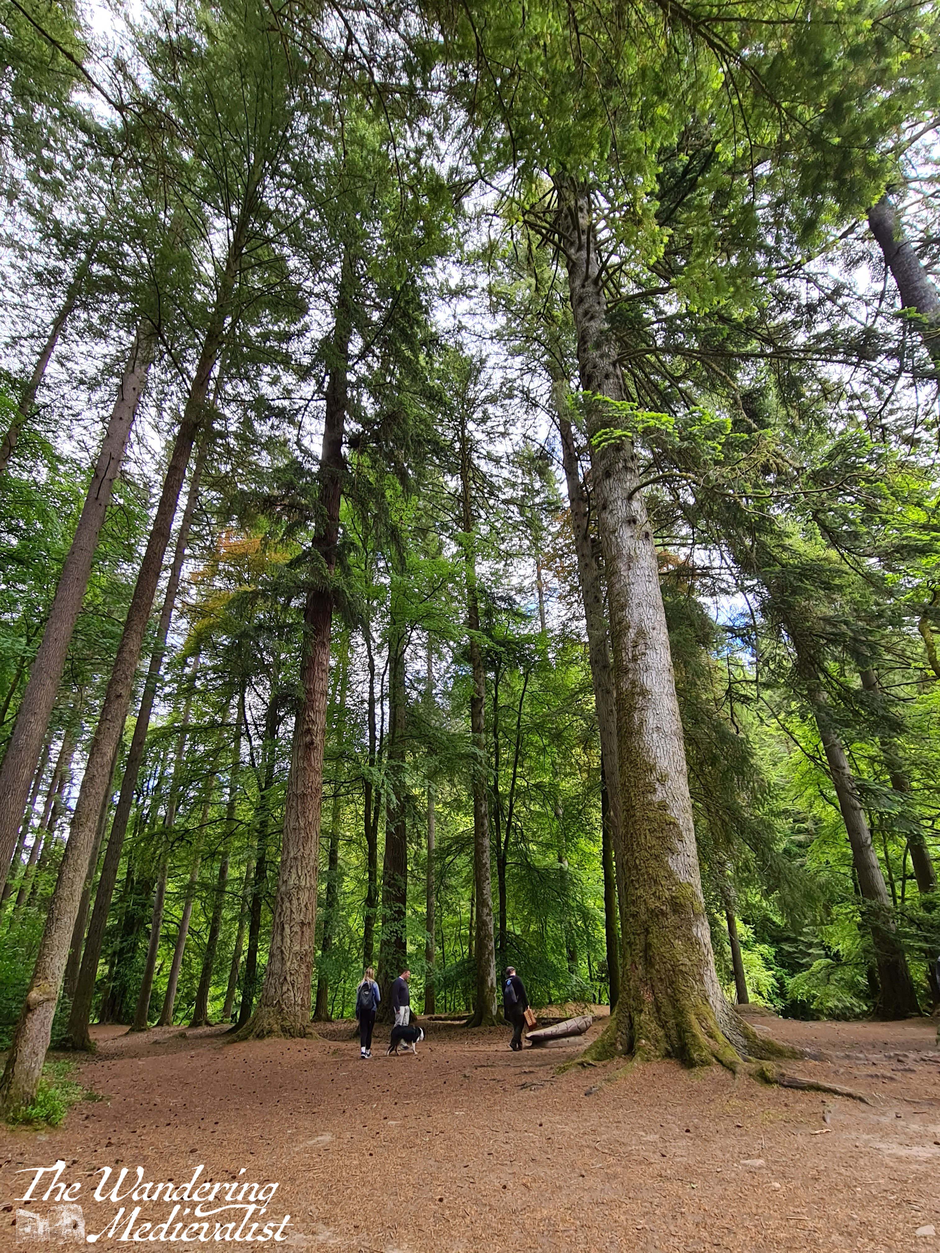
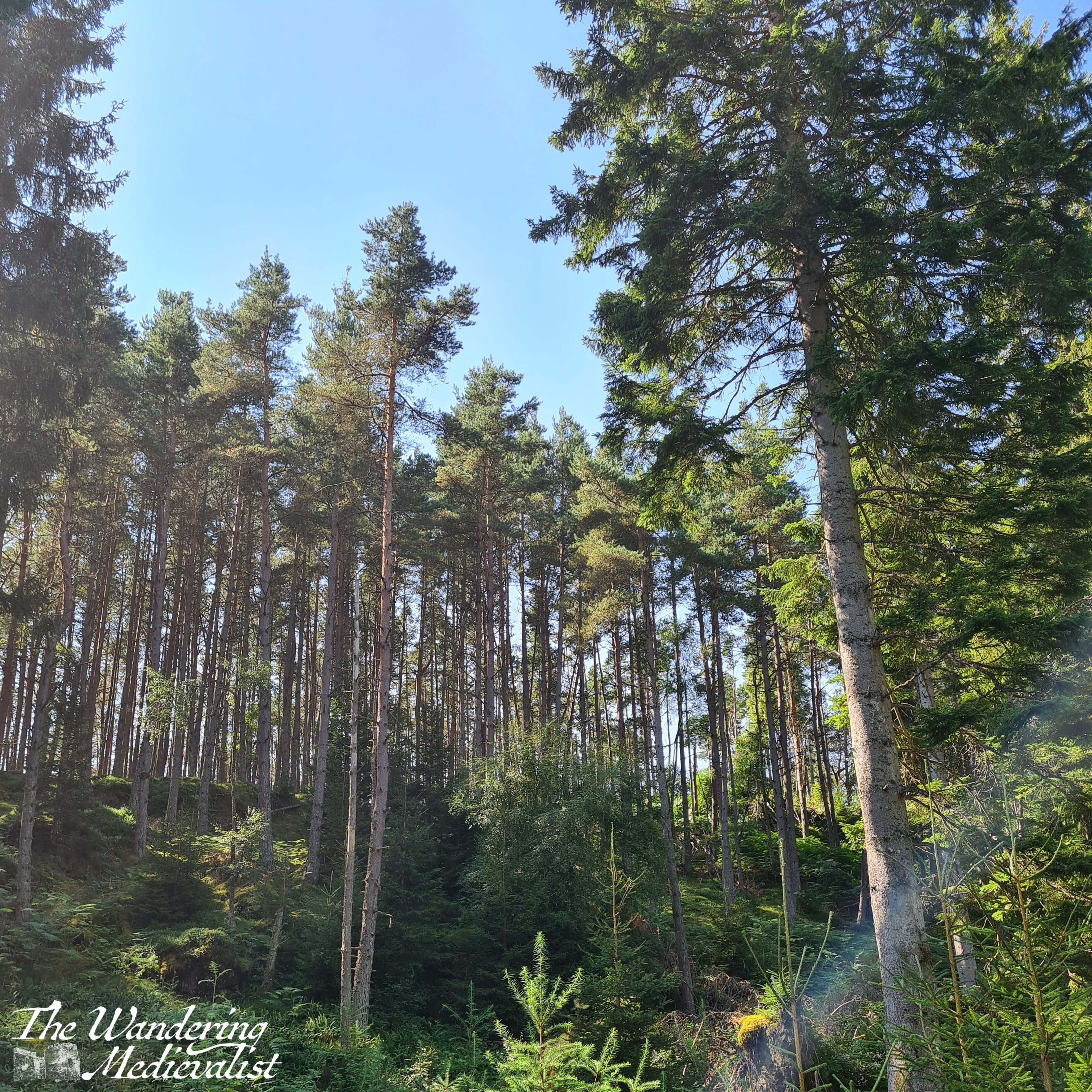
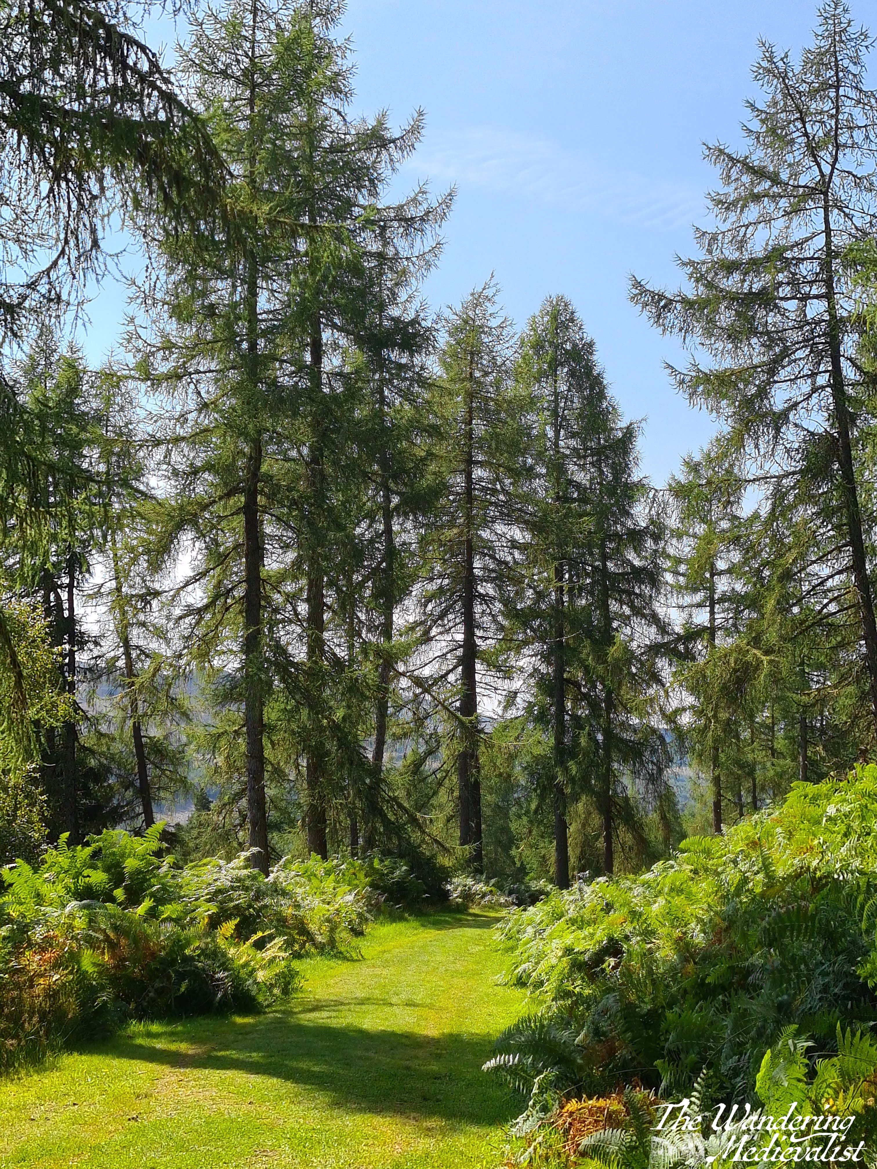
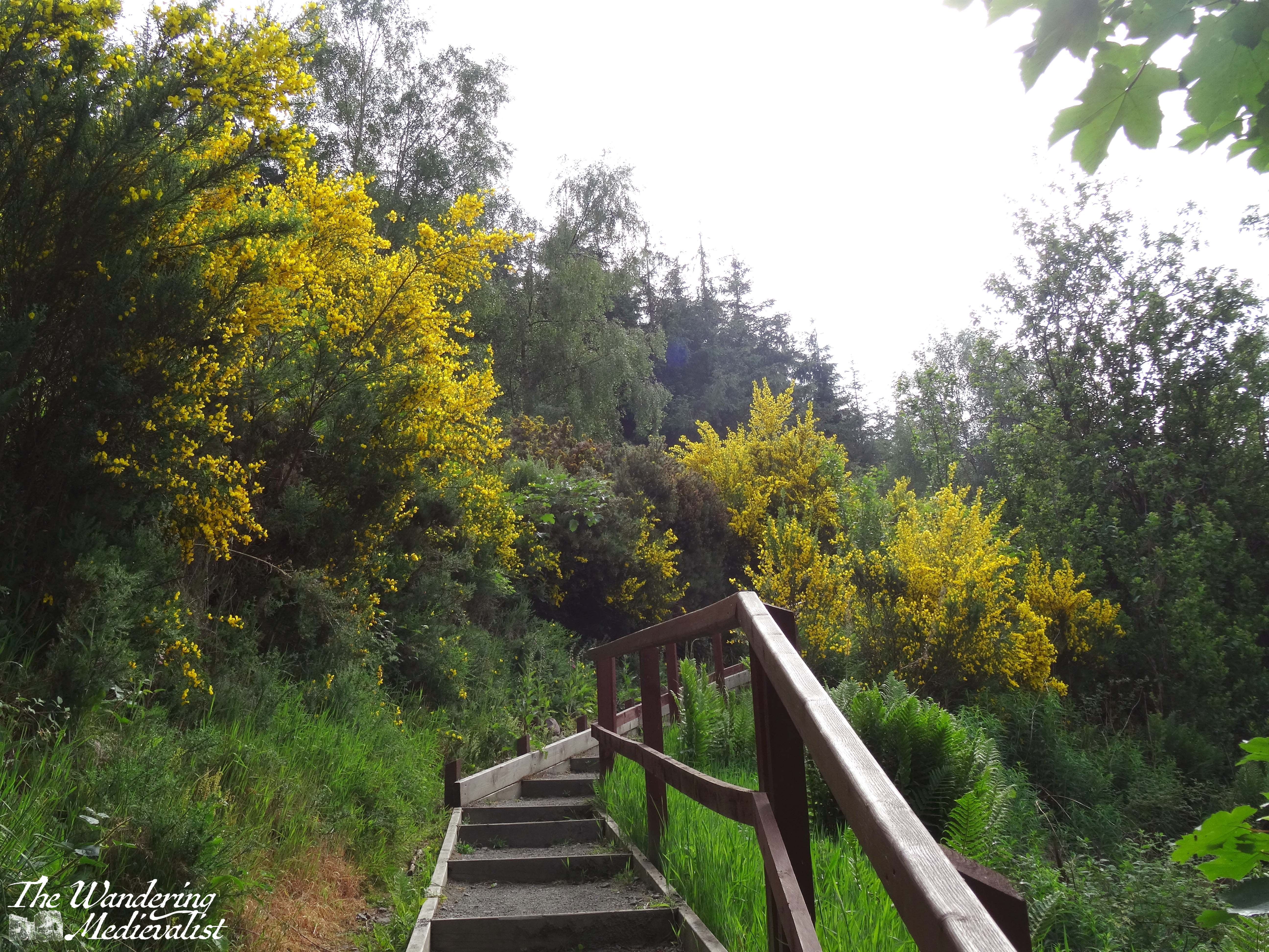
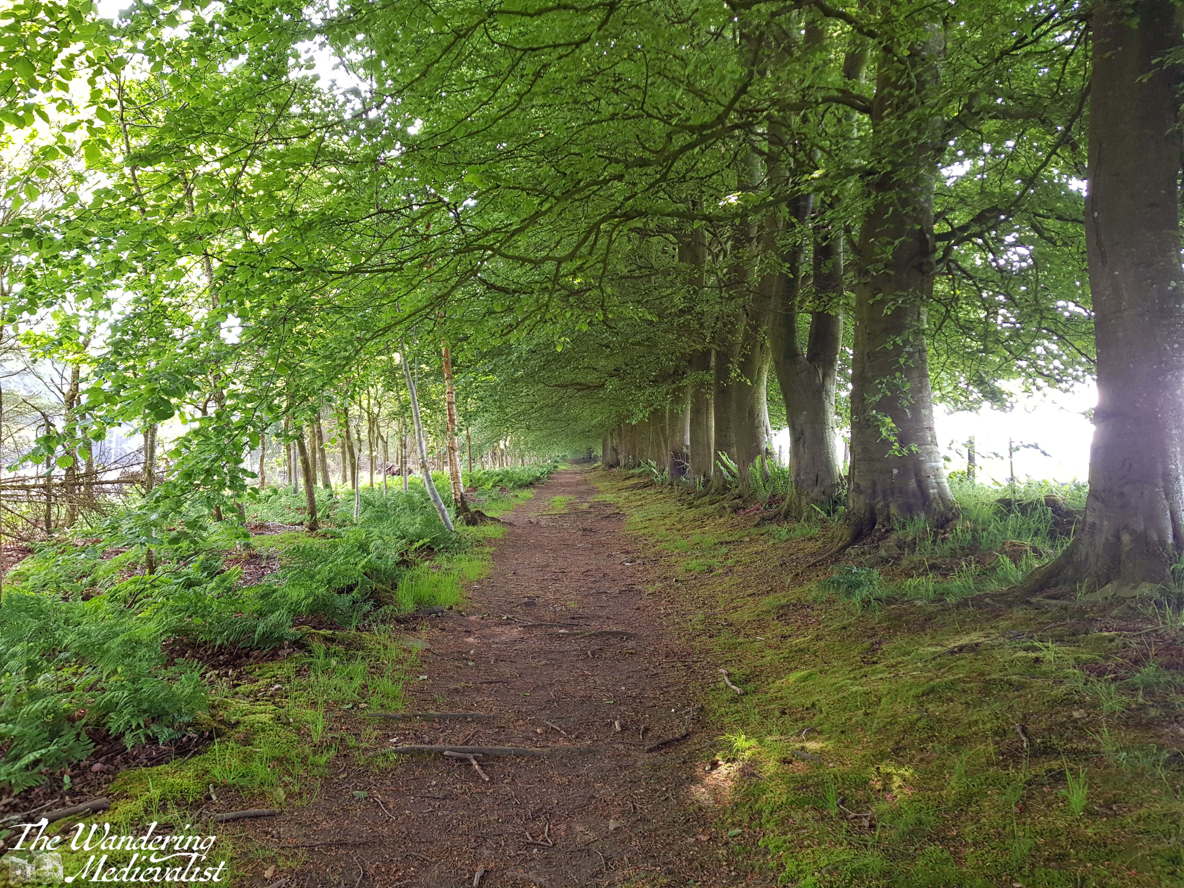
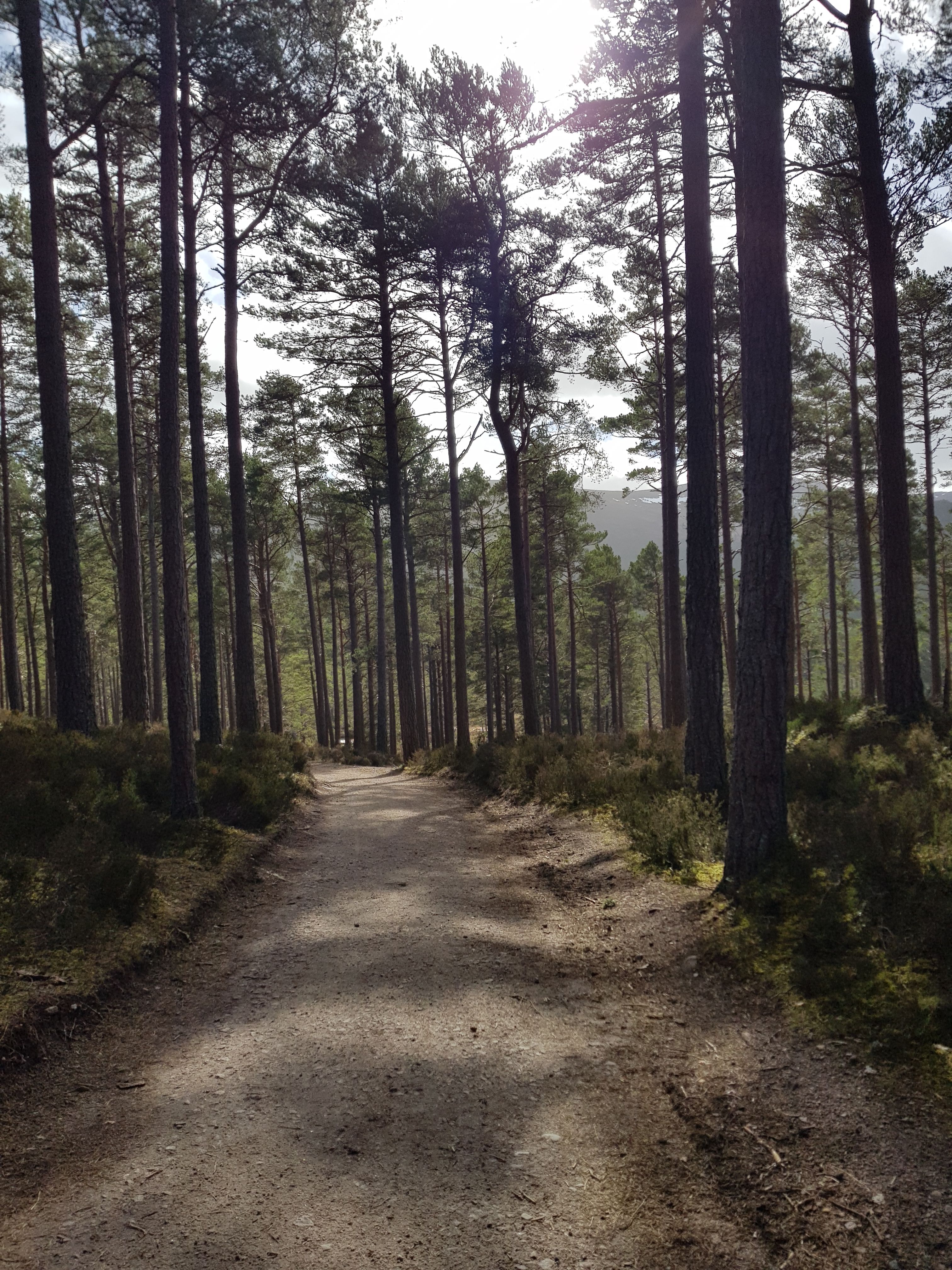
The walk passes through a farm gate, and continues through patches of gorse and other prickly plants. In spring and summer it would be gorgeous and yellow, though I am quite allergic to gorse so was pleased that the blooms had passed. Only a few minutes in, the path enters a light forest, and going through another gate finds you walking through trees and ferns. It reminded me in many ways of trails in the White Mountains, though the flora was slightly different of course. As the path swings around to the left, the deciduous trees turn mostly to pines, and the trail is surrounded by great tall trees, all very straight in the manner of a planned forest. I had learned that on some estates these tall pines were planted for ship-building, but by the time they grew the industry had moved past using wood. Great expanses of pines in the Highlands were therefore left, though the acidity in falling needles meant little could grow beneath. (This information came mostly from a fantastic series I watched years ago called ‘Making Scotland’s Landscape‘ presented by a Scottish professor of Geoscience.)
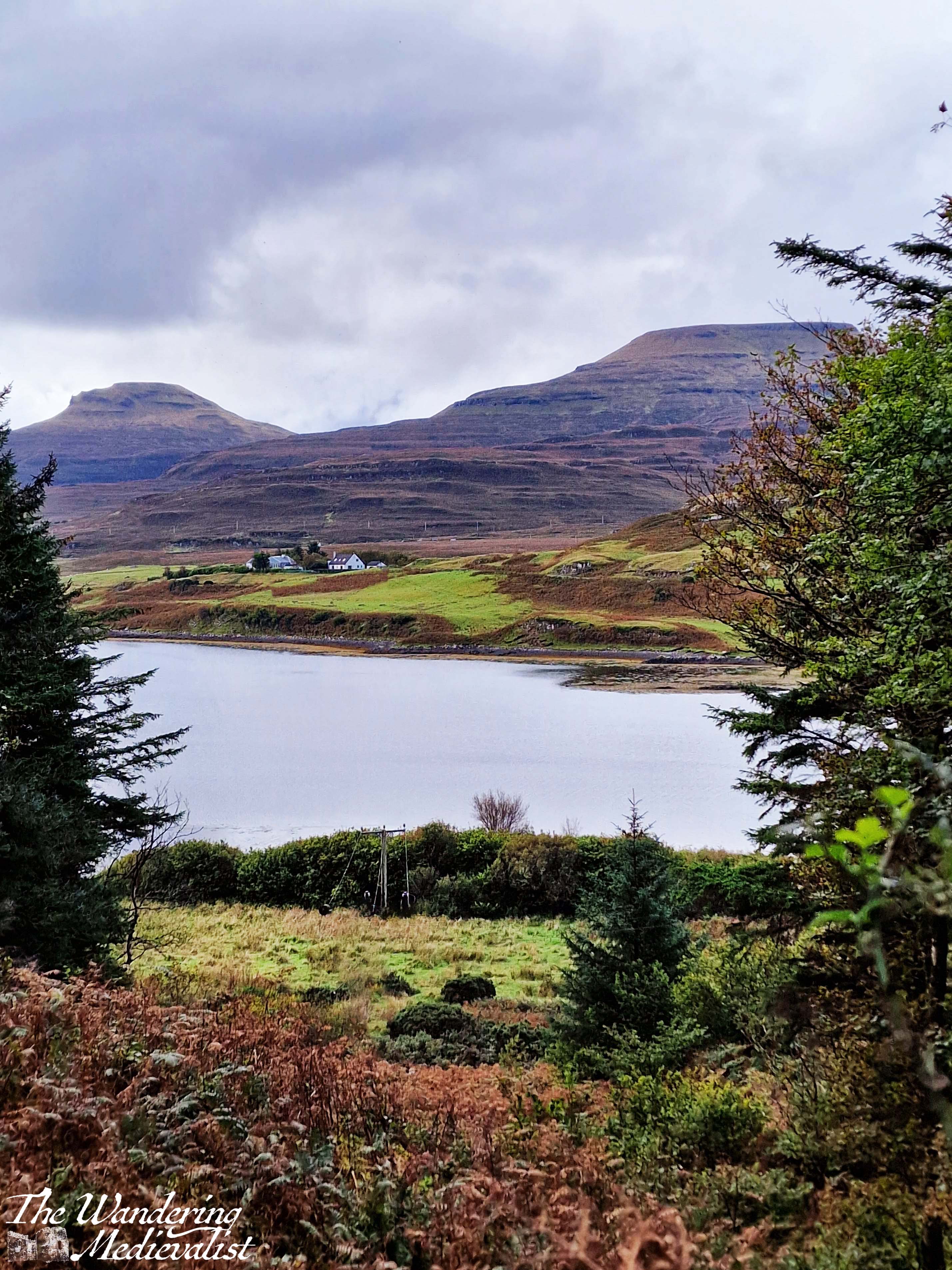
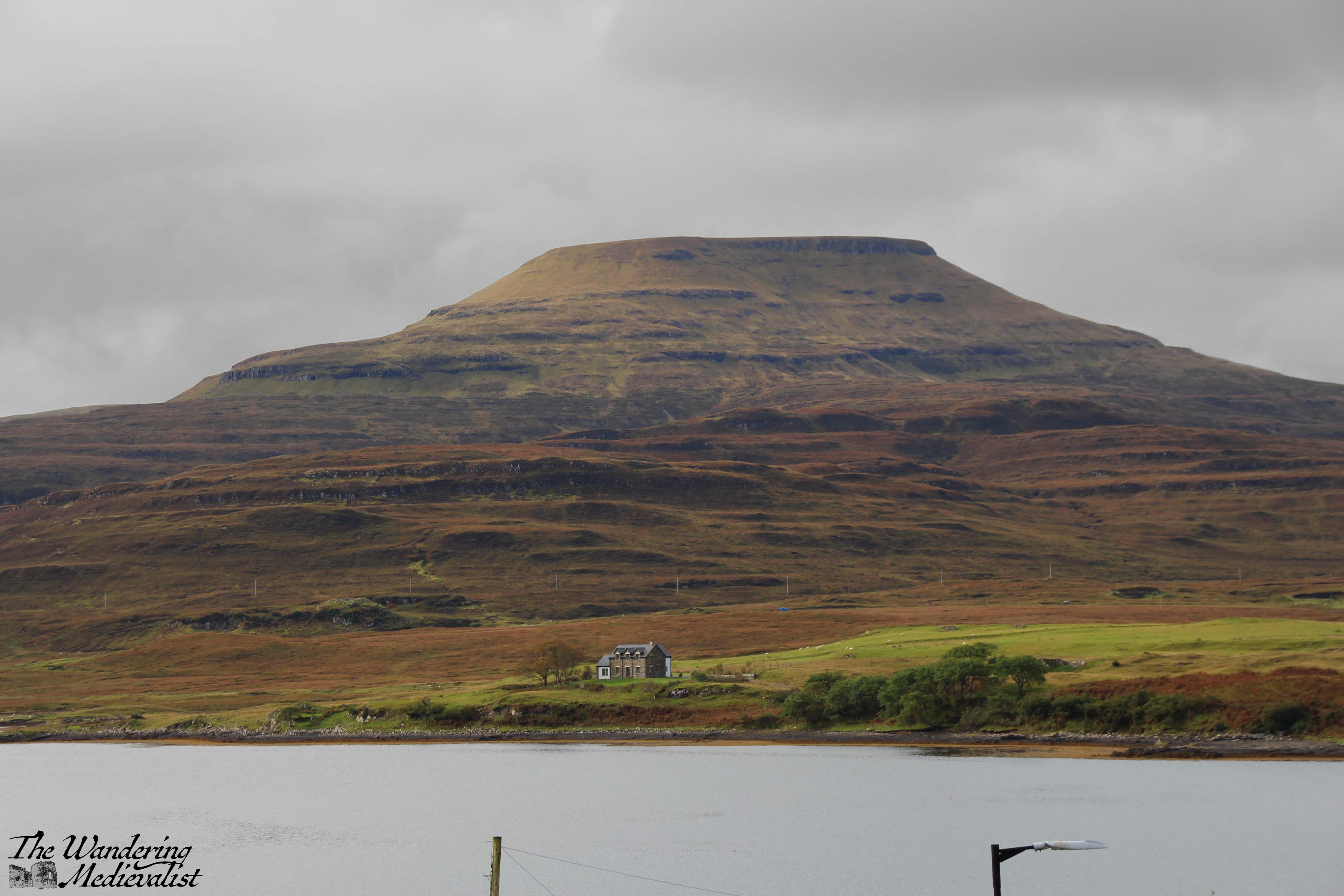
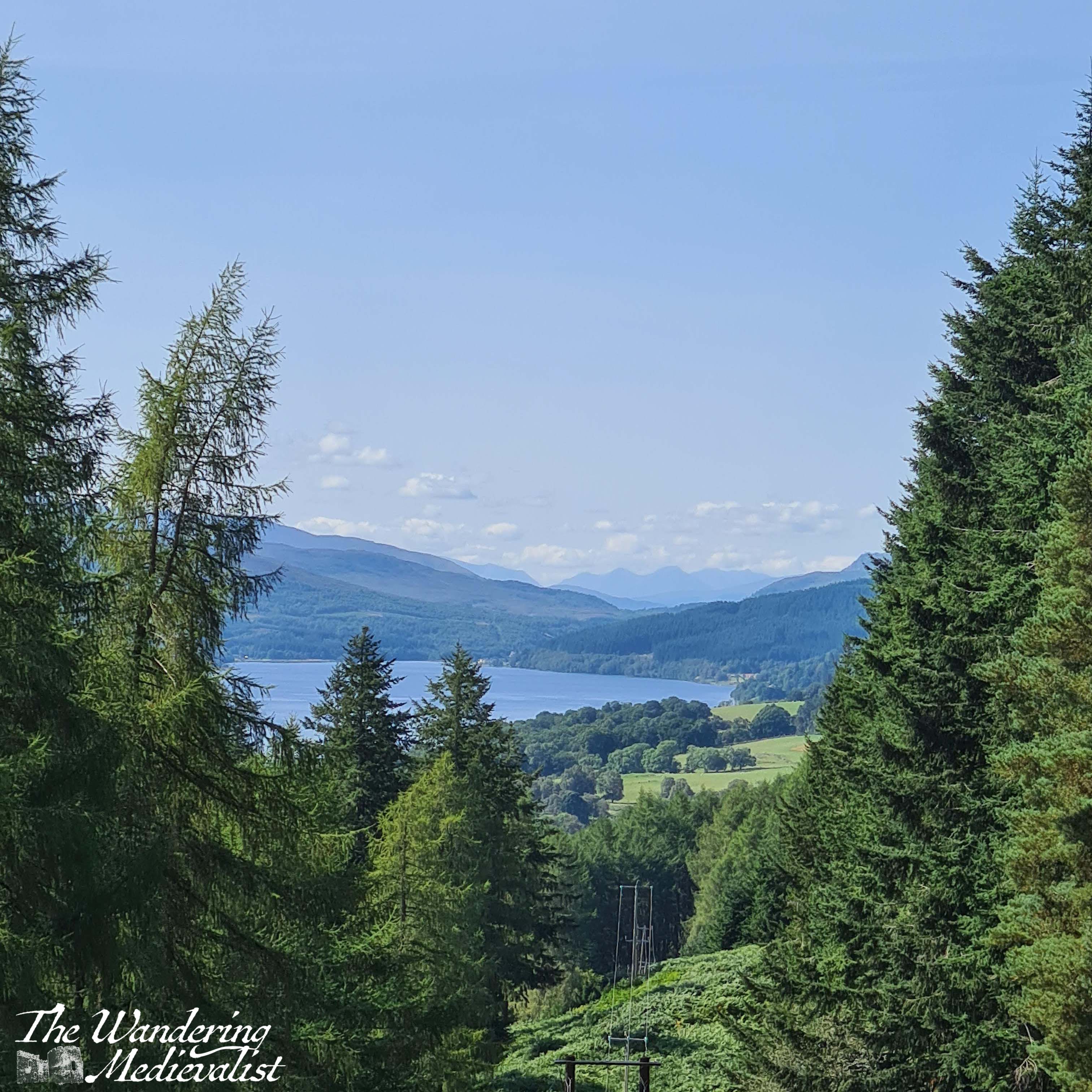
It is a lovely peaceful walk with not too much up and down – though there are a few climbs and dips to be had – and we passed several sets of joggers and plenty of dog-walkers, showing the path is clearly popular with locals. There is not much to be seen beyond forest in this stretch, though as the path continues to circle around there is one open viewpoint through which the power cable runs, and through which you can see the loch and the house and mountains on the far side.
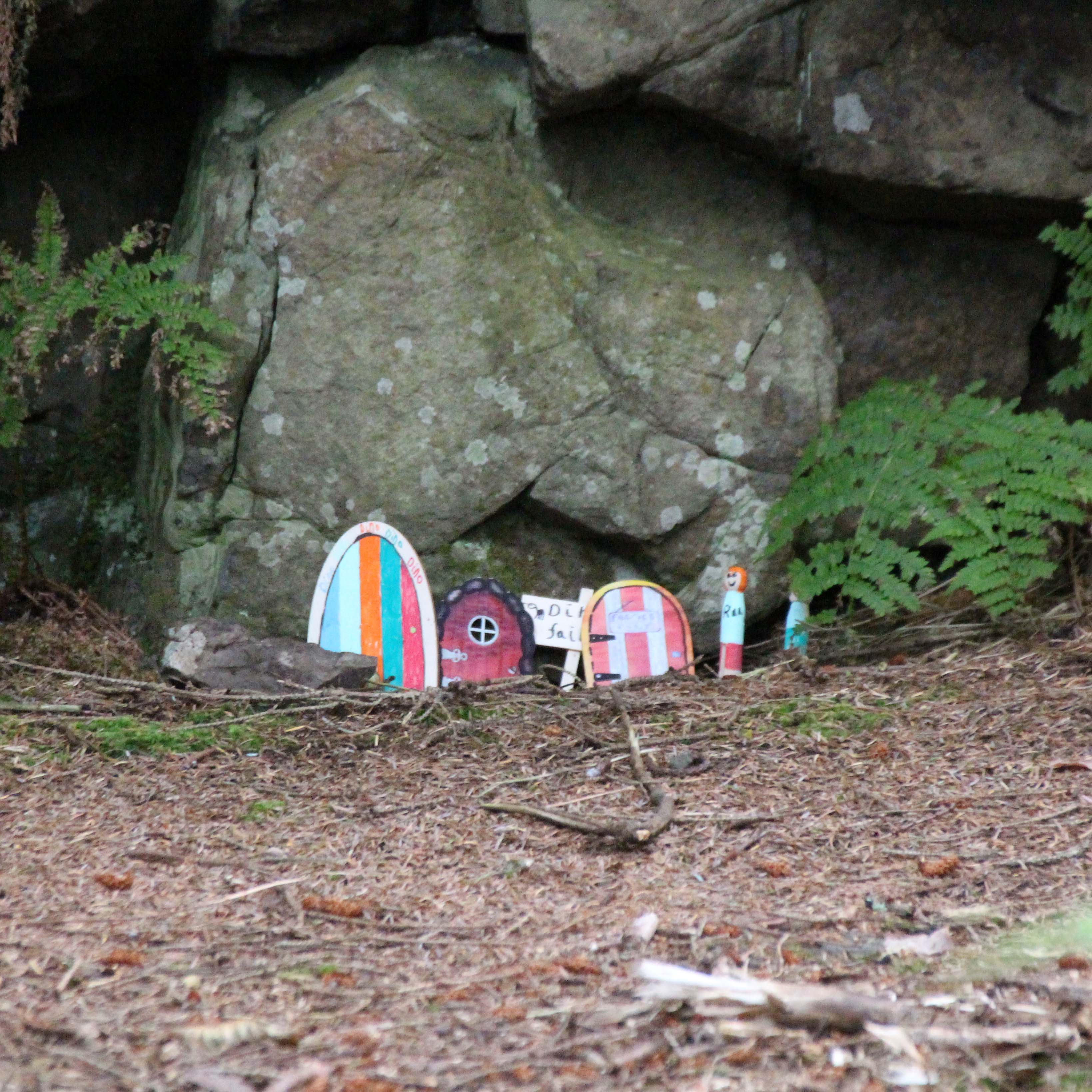
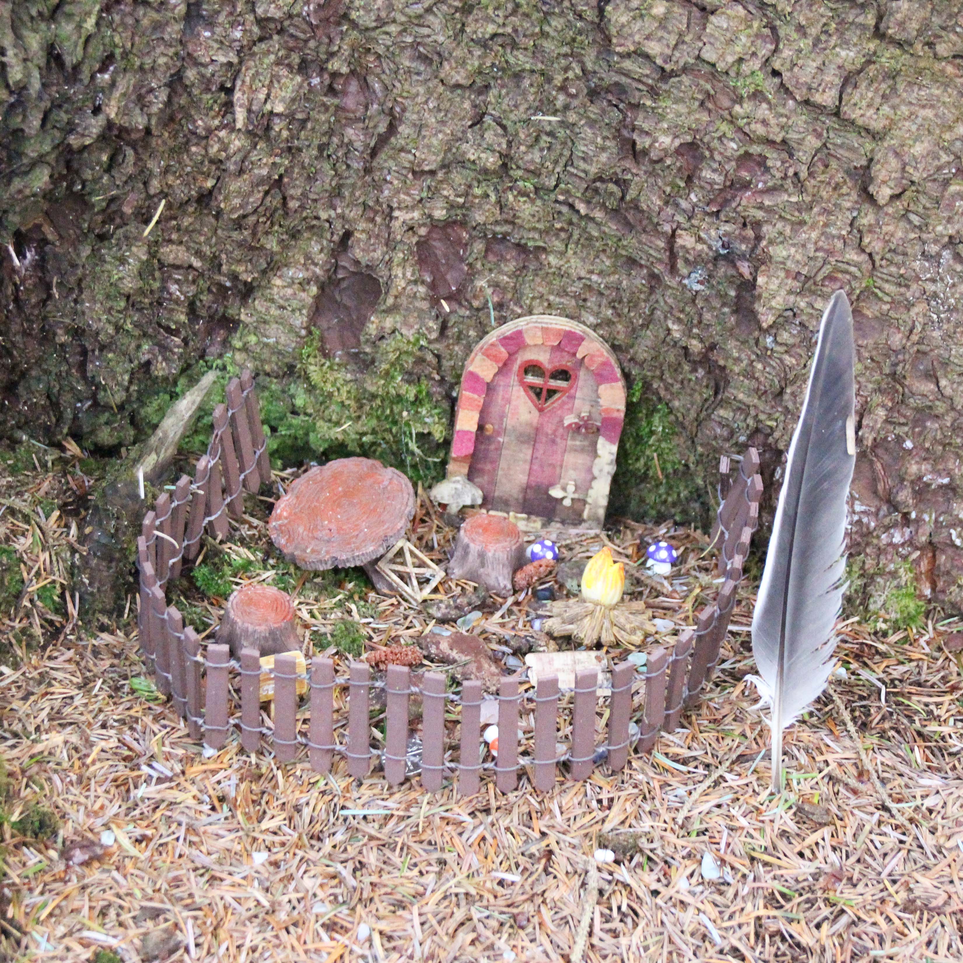
After the viewpoint you can hear and at times see the road below the path to the right, and as you approach the end of the forested section, we discovered that the local school had designed fairy houses in the trees and rocks. They were a charming combination of modern and very old-fashioned in design, with a little village at the bottom of a small cliff.
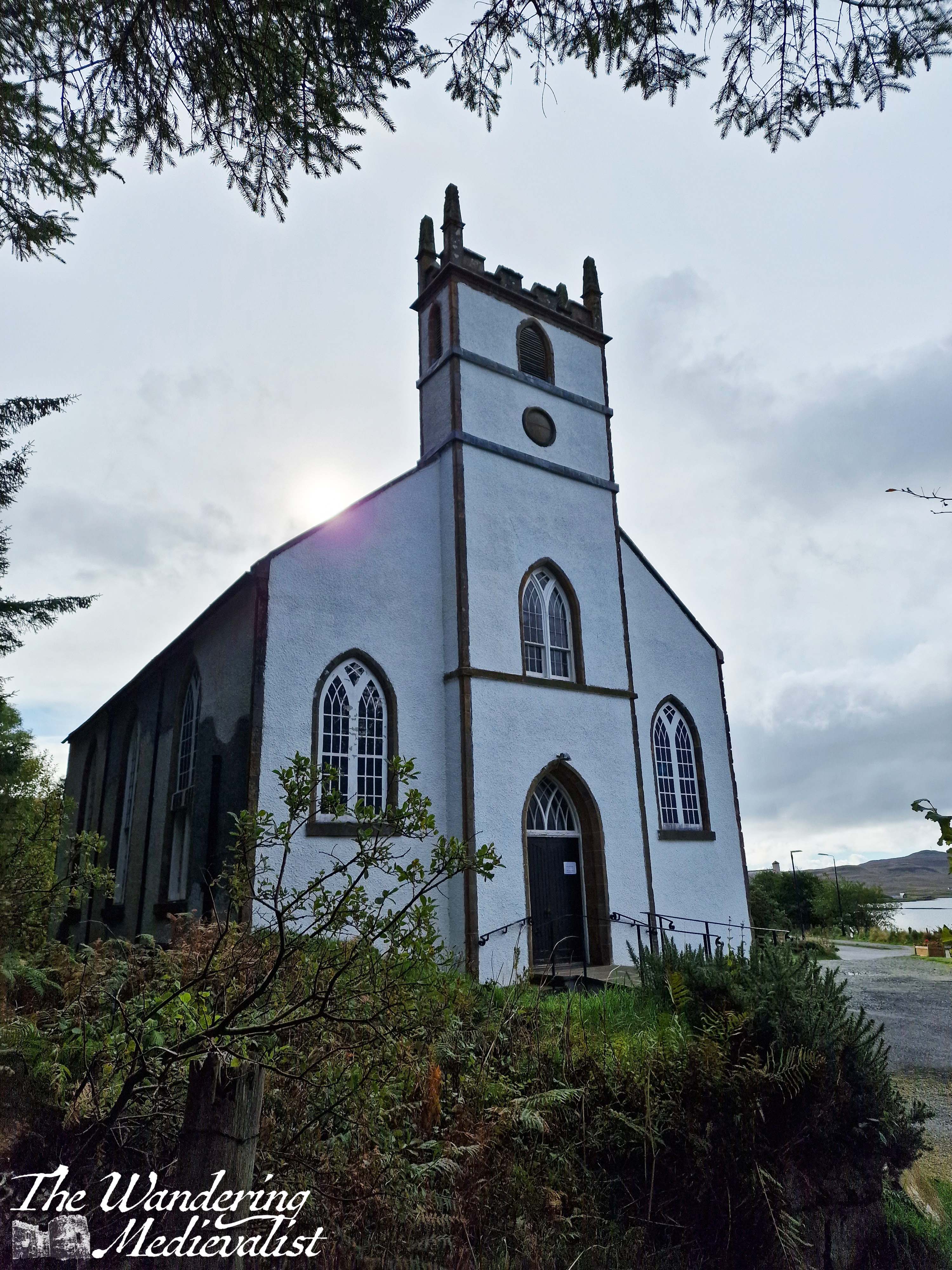
As you leave the fairy town behind, you soon come to the second of the two churches, the Duirinish Parish Church, which unlike St Mary’s is still very much in use. Here the path meets the road, and there is a short stretch of shops and buildings. There is an option for a short detour up to a memorial for those lost in battle, and the site overlooks the town and loch with lovely views.
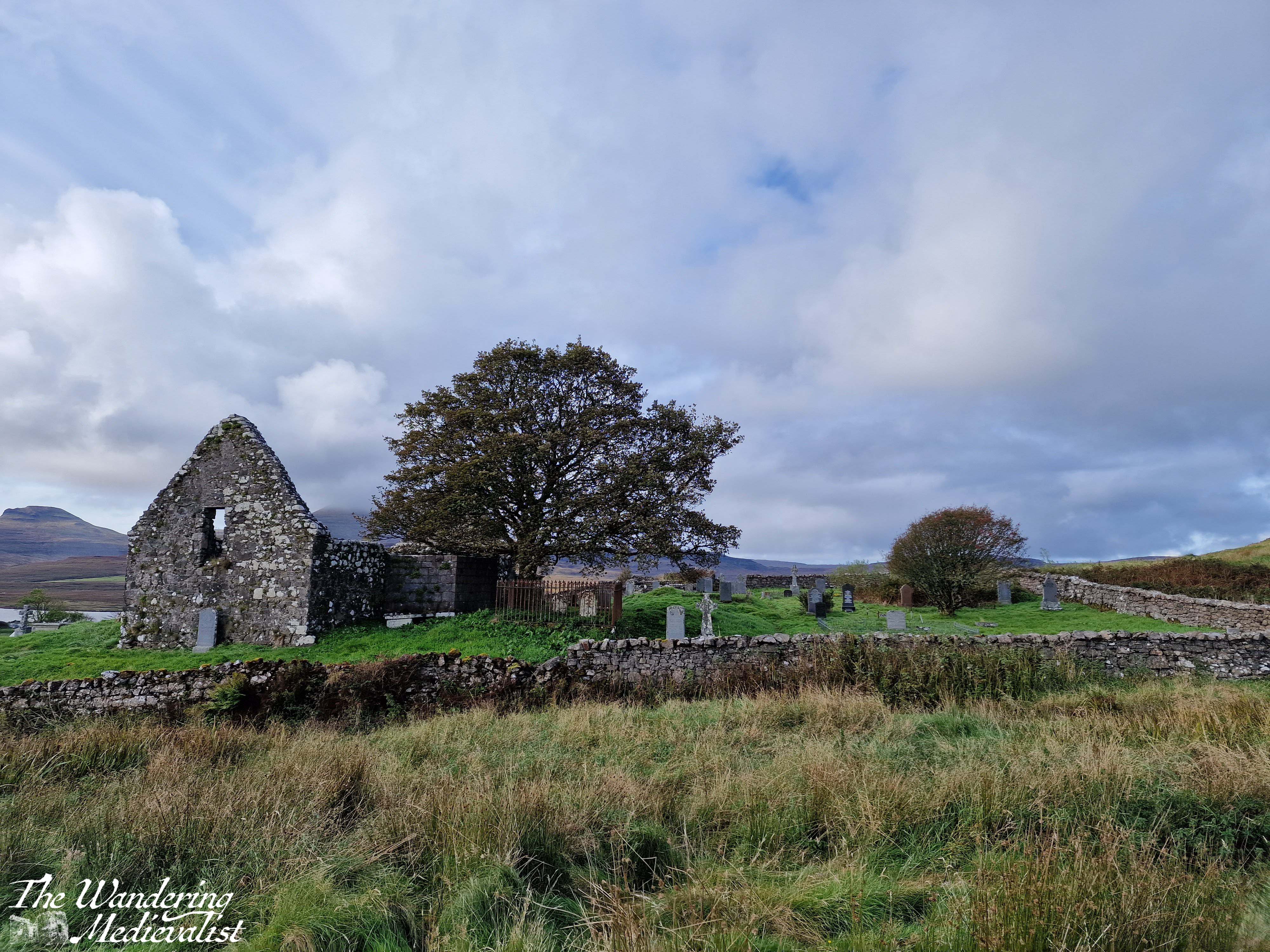
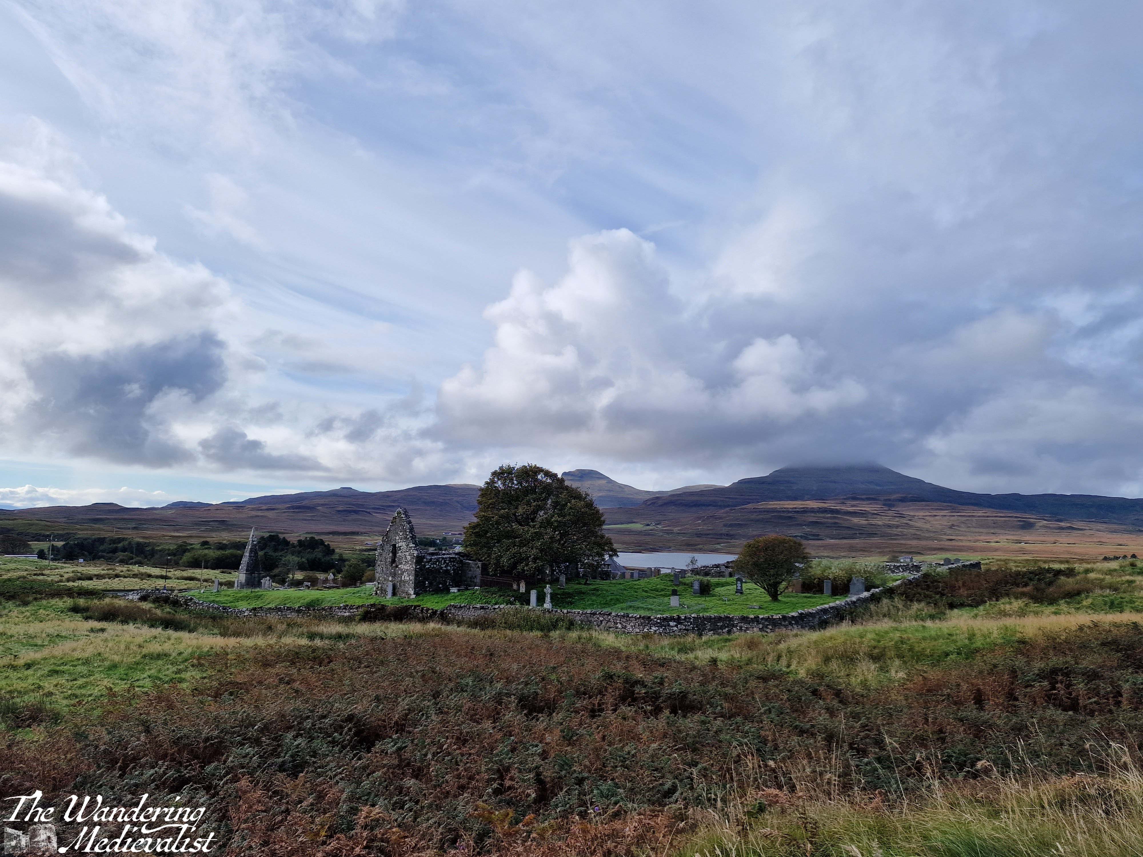
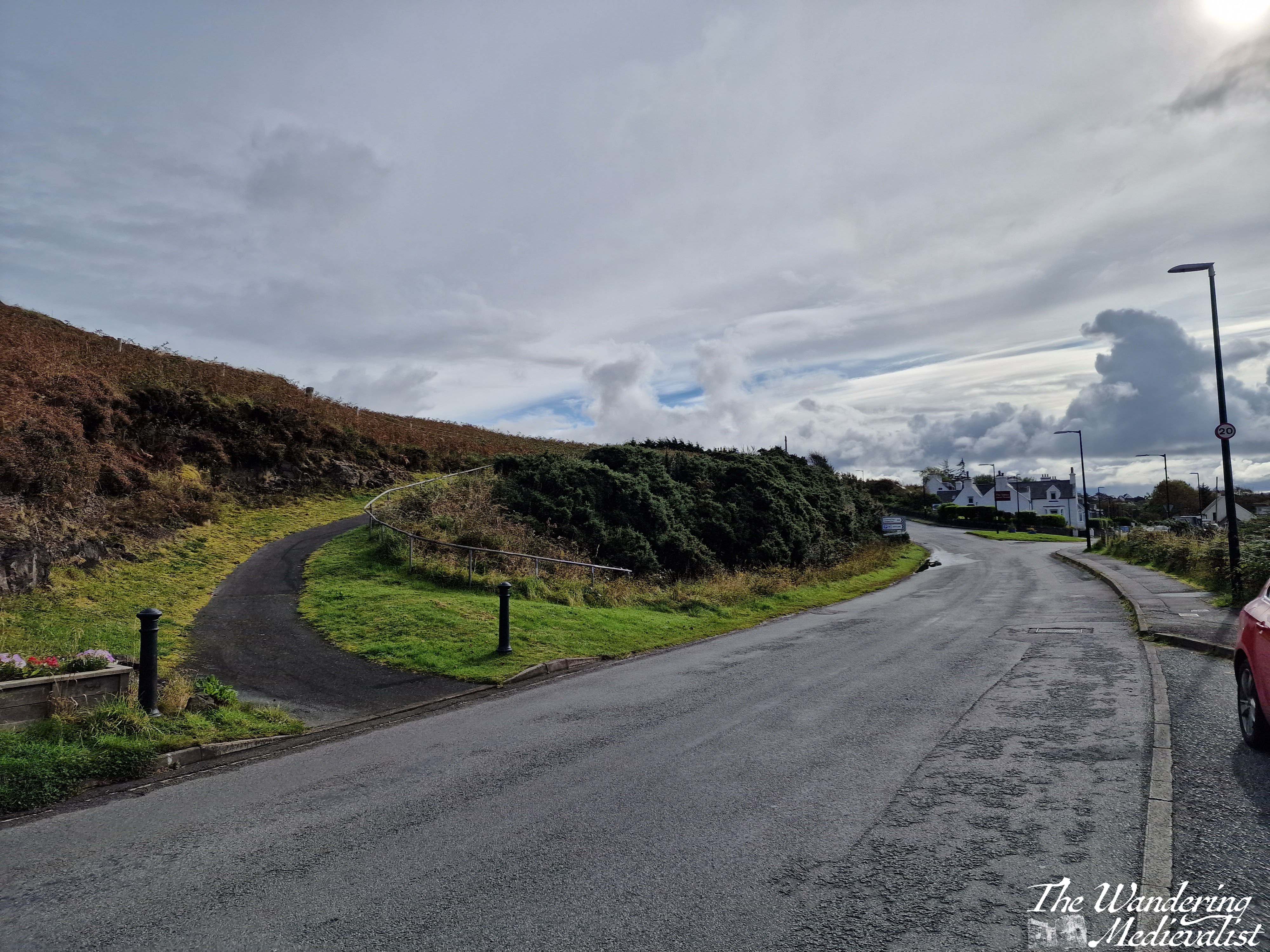
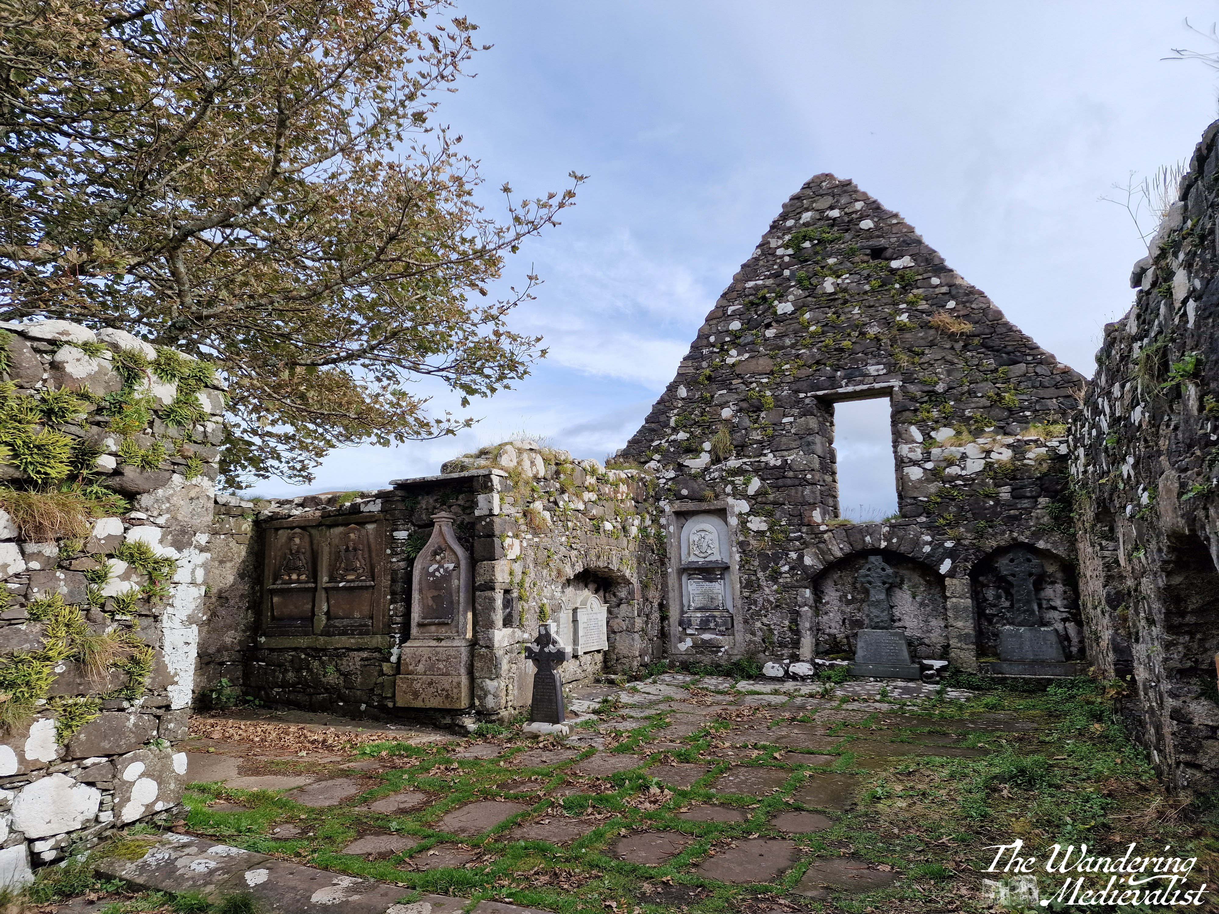
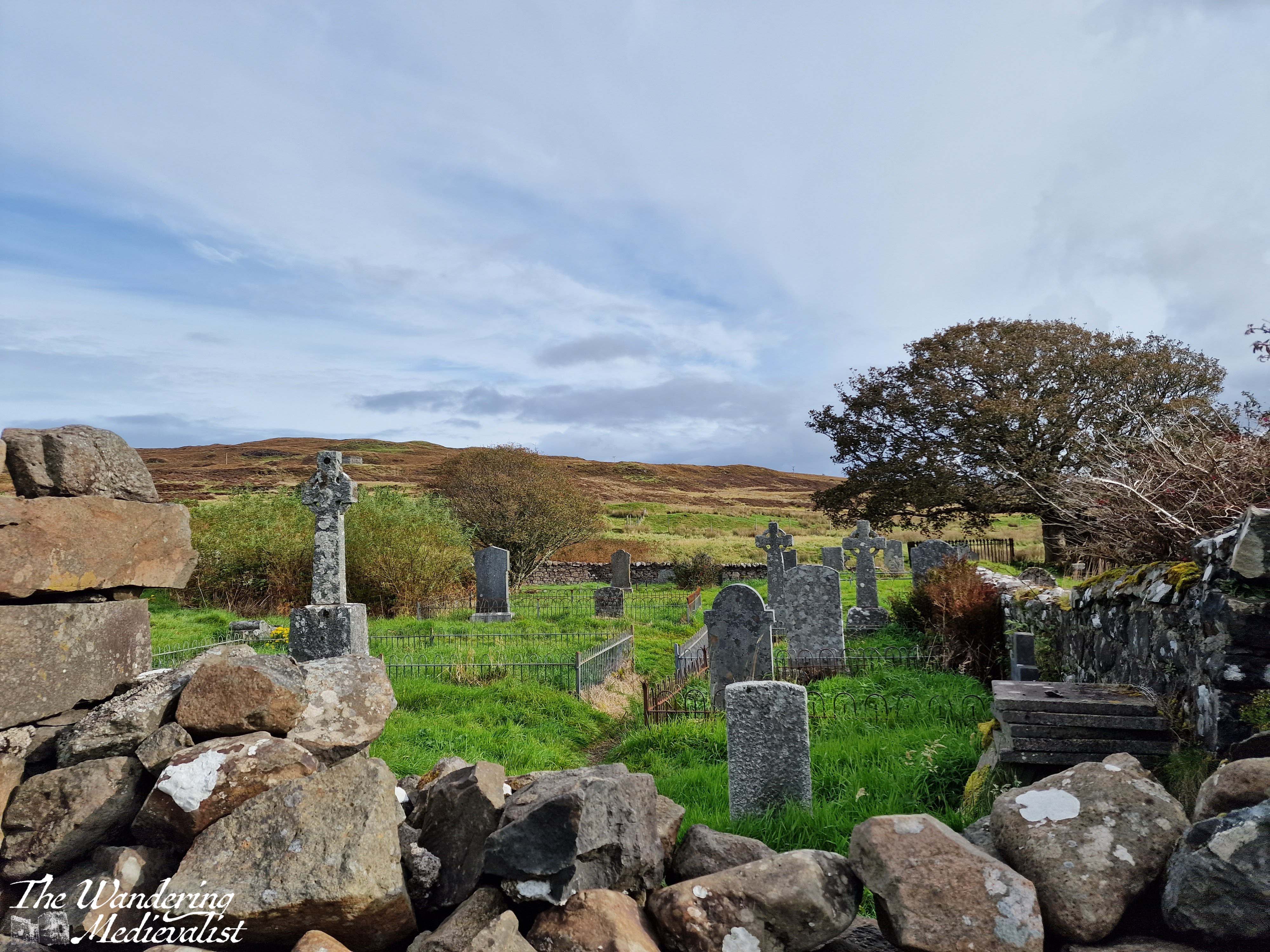
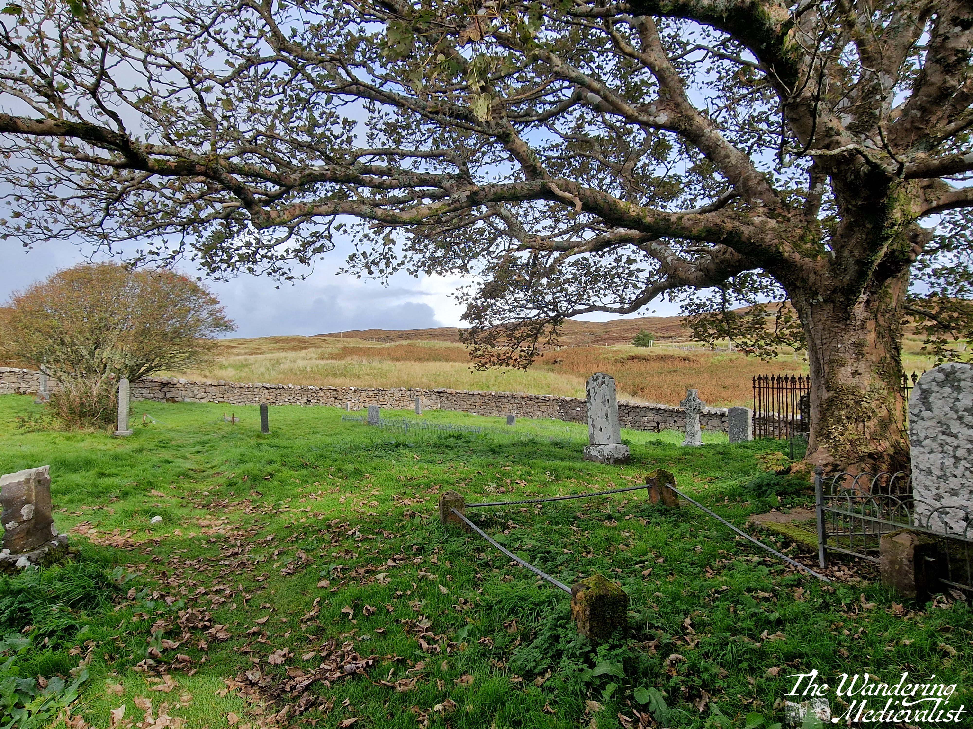
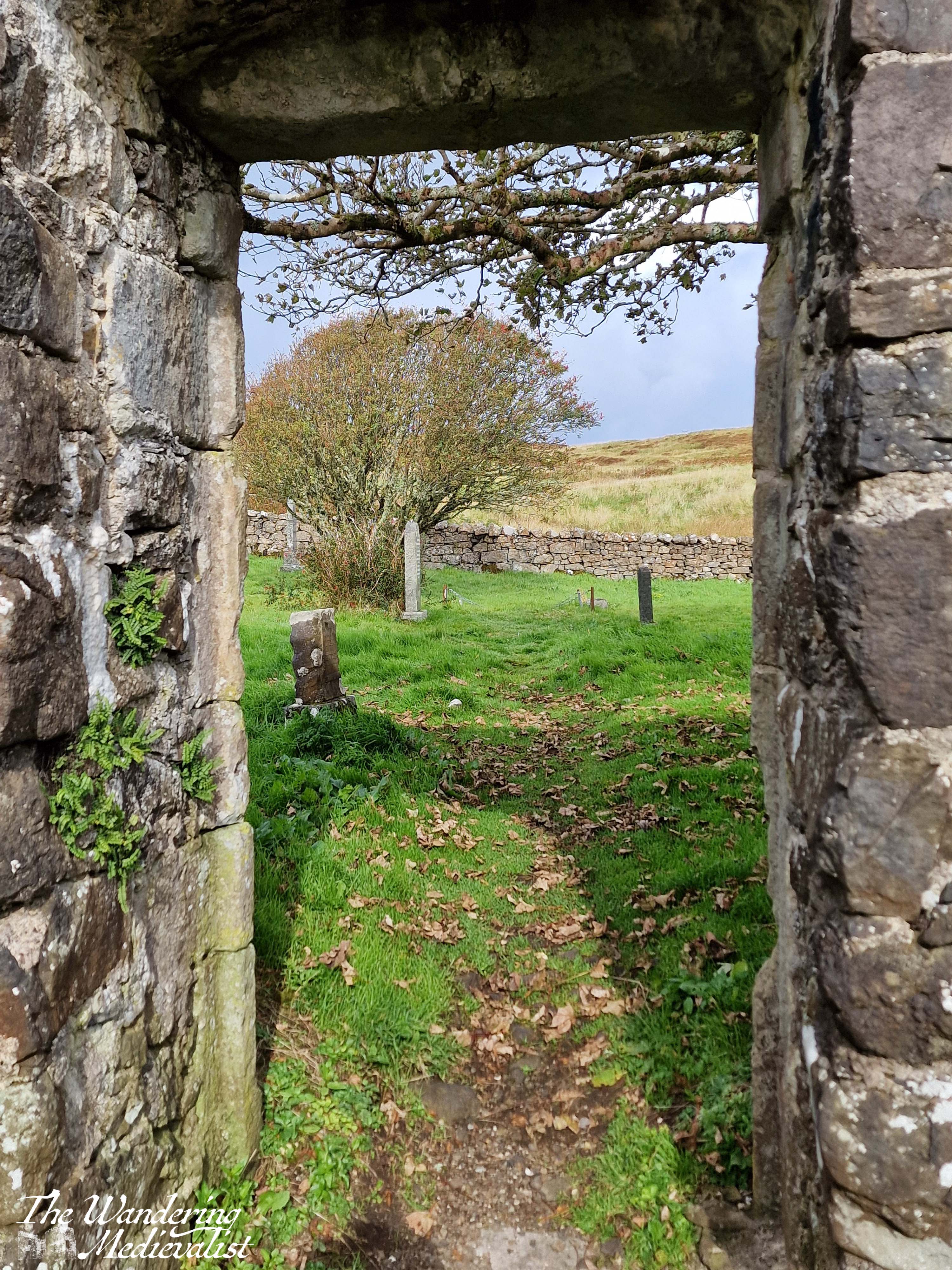
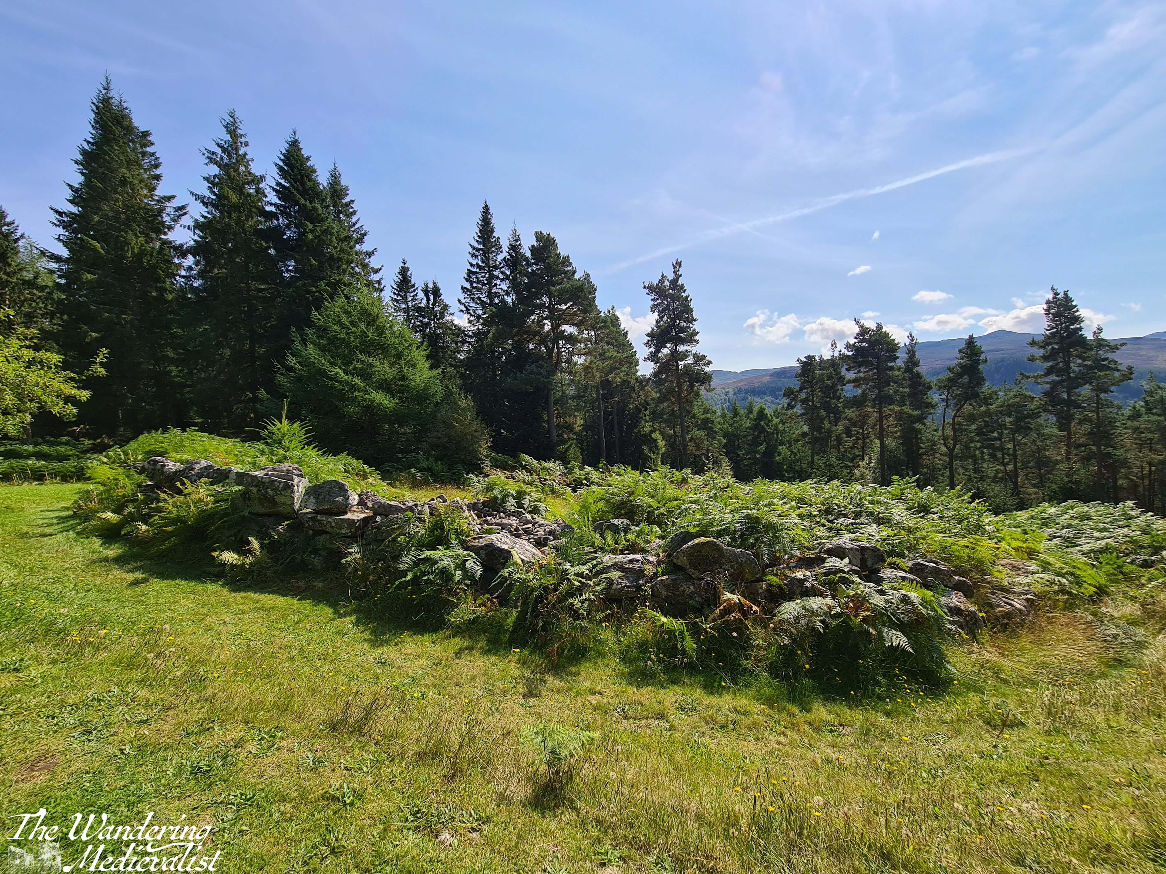
The trail follows the road up and around the corner to the left, returning to the lay-by. At this point, Dad and I decided we still wished to explore the church ruins and the standing stone on the top of the hill. We started in the church, which was likely to have been founded in the Middle Ages due to its alignment, though the parish dates to the post-reformation period. The stone enclosure of the site dates from the 1730s, and the church was the burial site for some Chiefs of Clan MacLeod as well as their hereditary pipers, the MacCrimmons. It is a beautiful ruin with lovely carvings in the nave, trees overlooking the now roof-less church, and graves of varying ages dotted around the property. It reminded me in some way of Old Burial Hill in Marblehead, though again that may just be my affinity for graveyards!
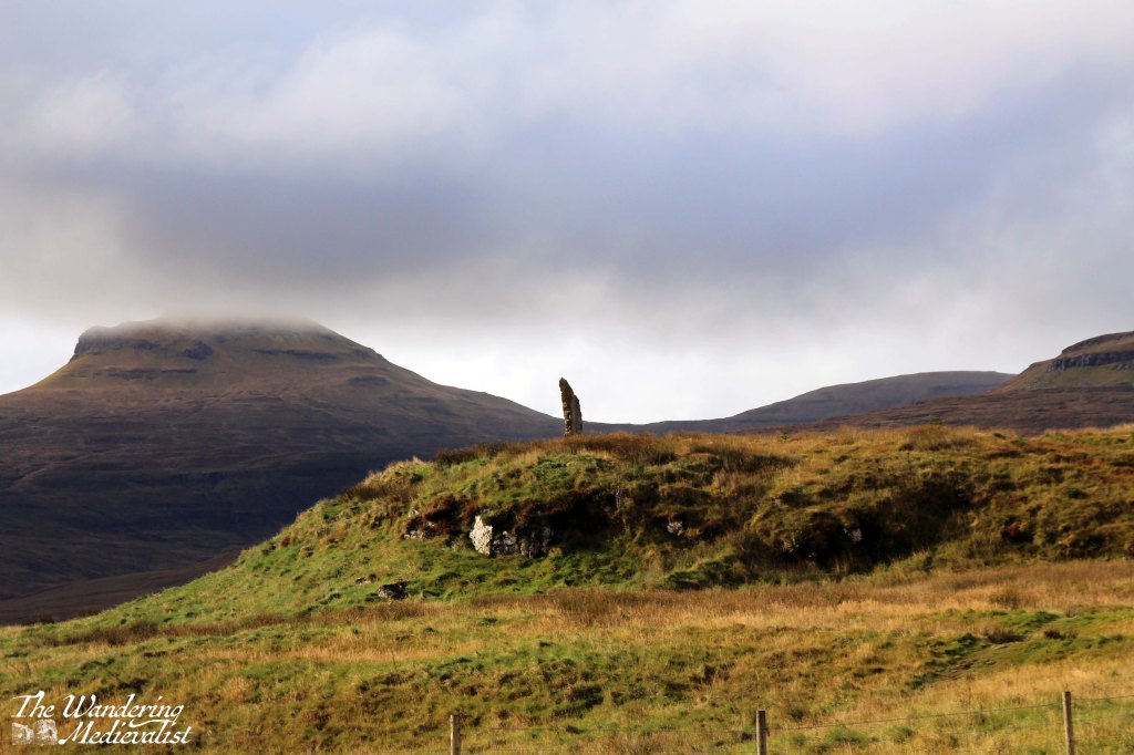
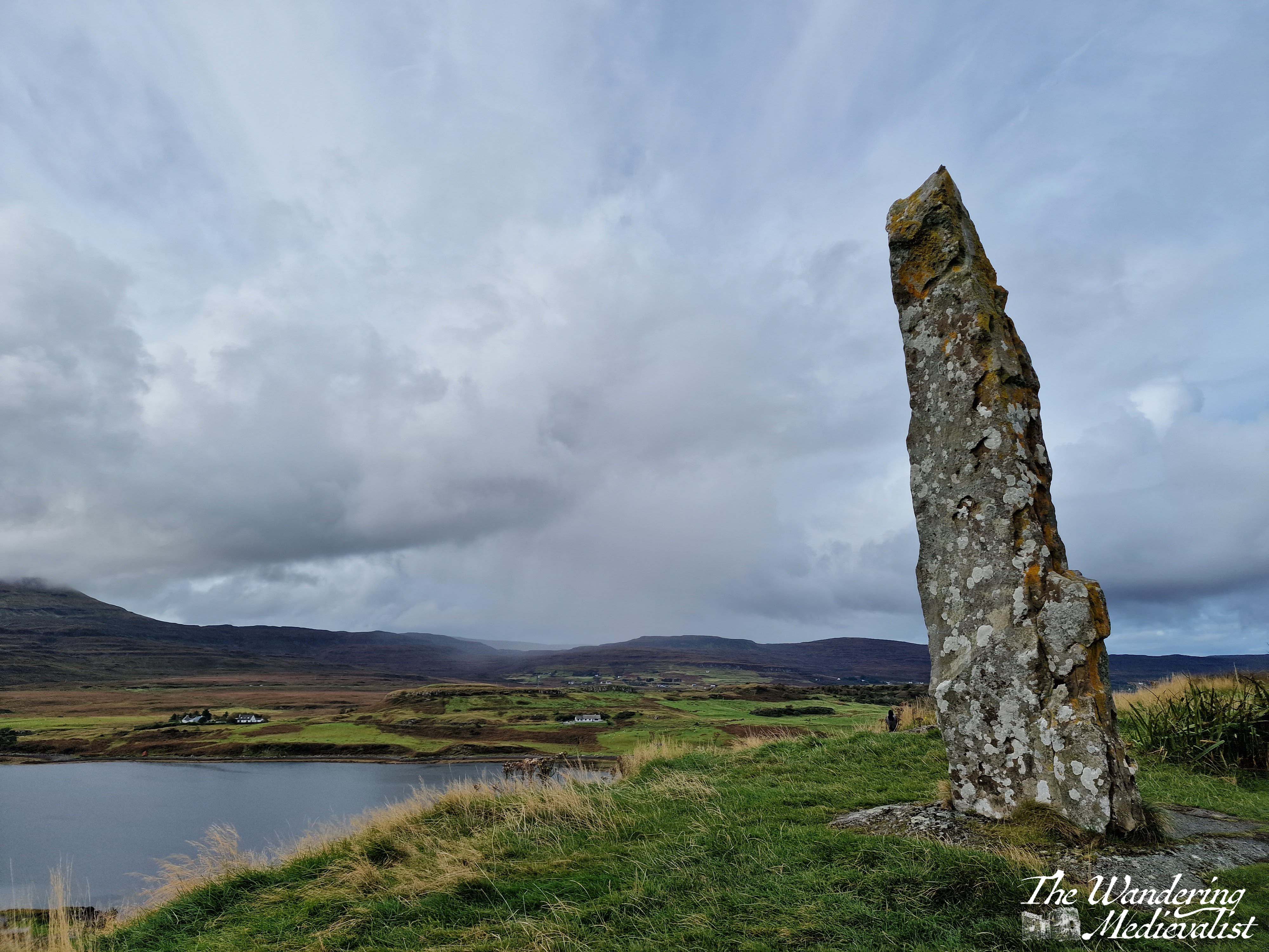
After exploring the church we felt it was still required that we climb to the top of the nearby hill, where the local community had raised a standing stone referred to as the ‘Duirinish Stone’.
I was a touch disappointed to discover that it was modern and not authentically ancient, but not disappointed enough to miss a visit. The stone was raised on the event of the Millennium as a marker in time, and to celebrate the memory of the ancient settlers of the area. It was found on a beach in the south of the island, and it was erected using ancient methods – hand and rope – an impressive feat! So not ancient, but actually authentic.
In order to reach the path, one has to exit the churchyard completely and then follow the edge of the wall until the trail branches off to the left through the grass. It is not a long walk in any way though the top is quite steep and requires a bit of scrambling. There is a detour about half-way up where hikers have clearly discovered a good viewpoint.
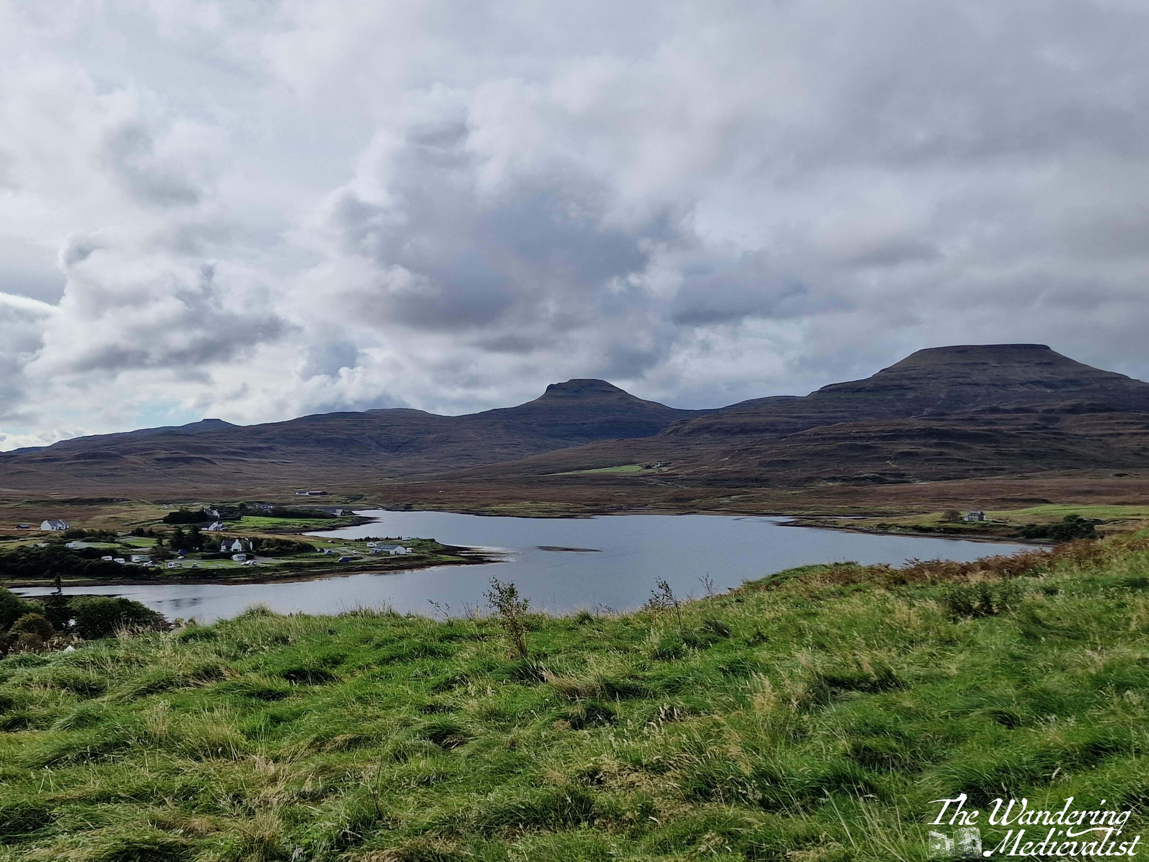
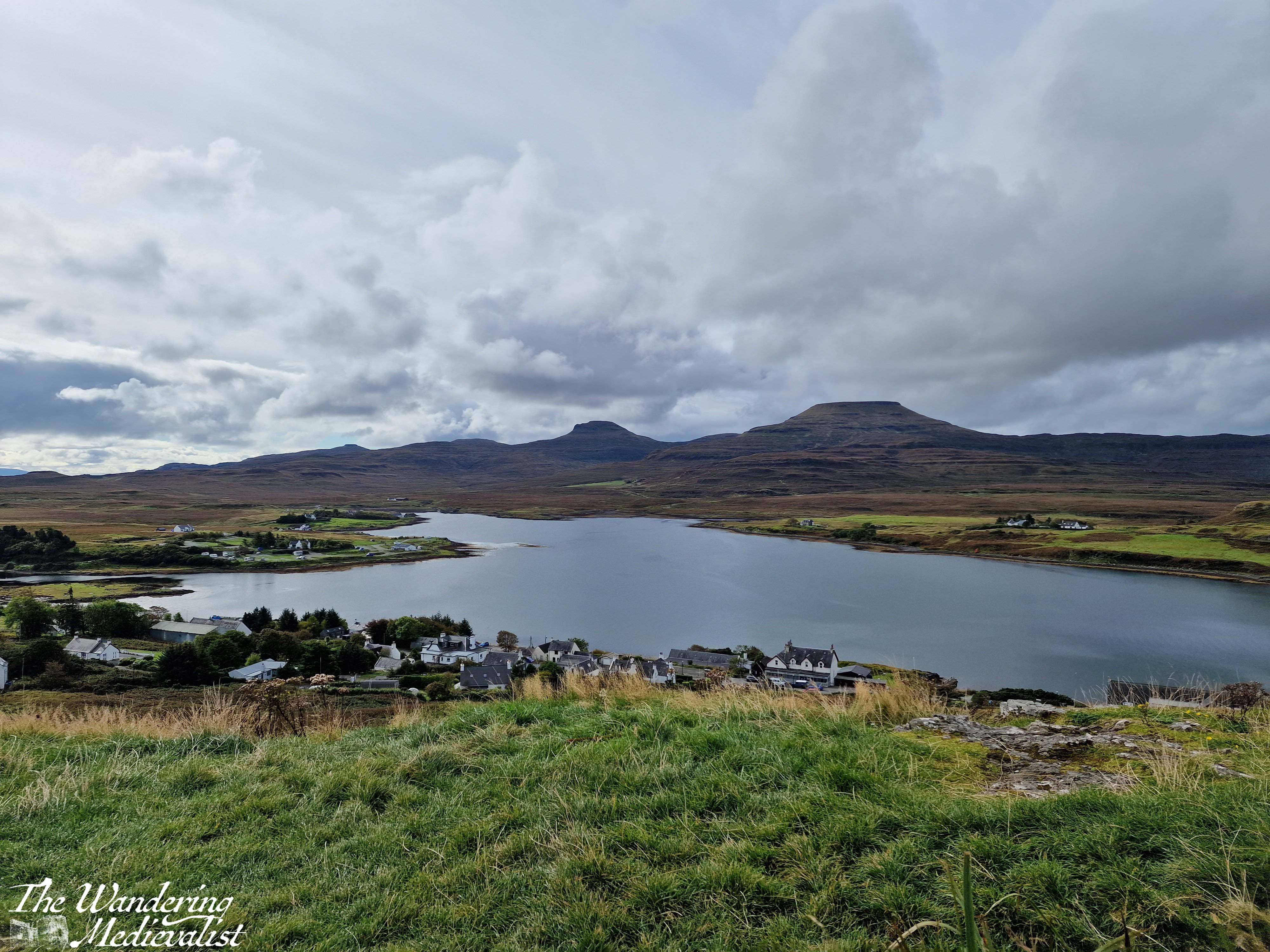
The top of the hill is larger than it looks from a distance – and I imagine there is a less steep path than mine – and the views are spectacular. We could see some rain coming in the distance so did not loiter long, but I got my fill of pictures while Dad wandered a bit.
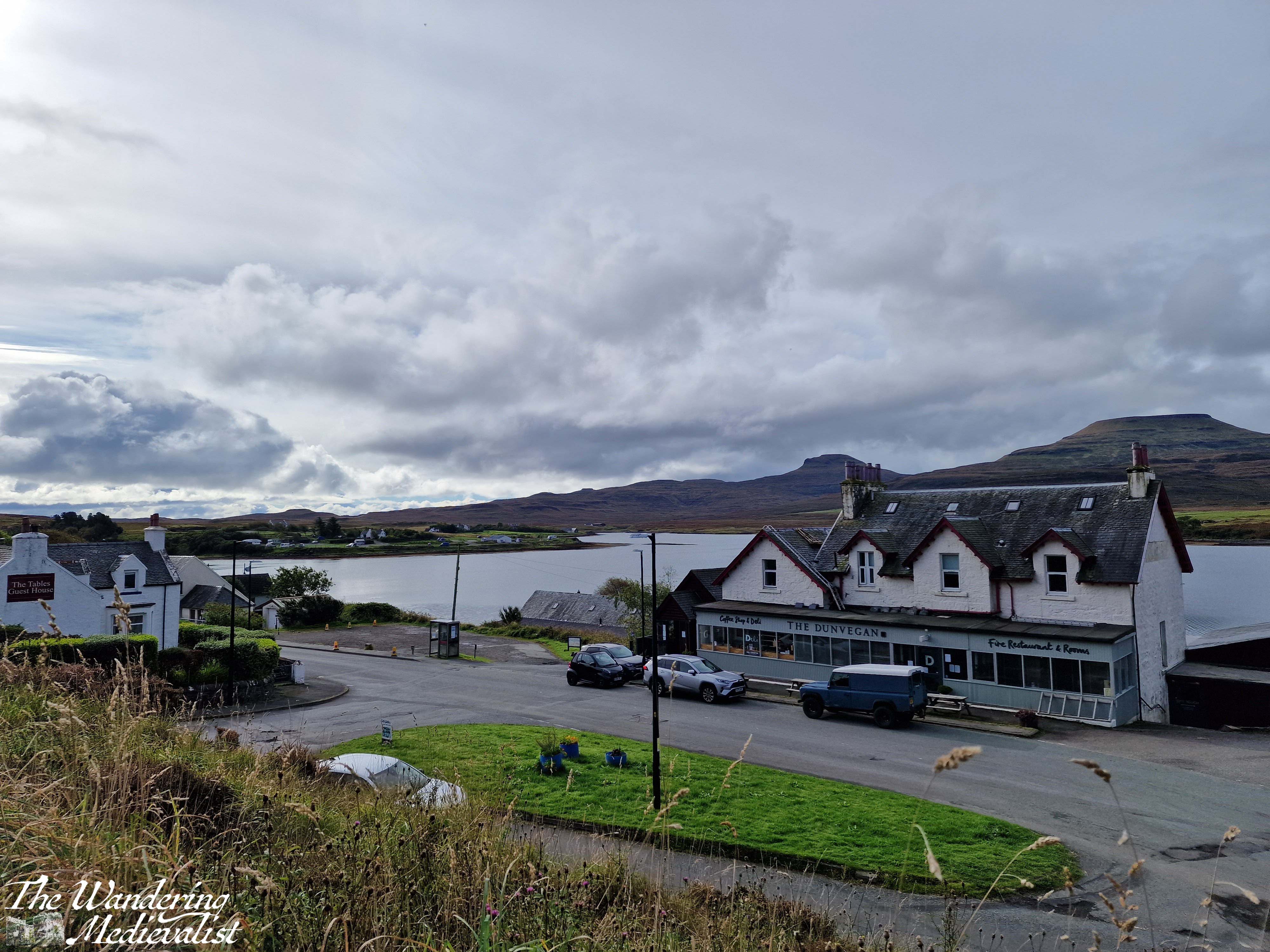
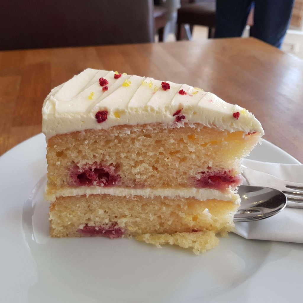
Upon returning to the car, we both felt the need of refreshment after our roughly two-hour walk and exploration of the church and hill. Fortunately, the town has several options for food and we stopped into the Dunvegan Deli and Café, where I had purchased a few extra snacks on our previous visit. The café does not offer lunch but does sell coffee, tea and an impressive array of excellent cakes. The tables overlook the loch, and it was a very pleasant place to sit with a cuppa to relax. It was also the perfect spot to pick up some dinner supplies: pasta, sauce, and a delicious local cheese, plus of course another cake for dessert. Their range of food includes crackers, jams and jellies, Highland honey, cheese and some cured meats, local ale, and much more!
This is a very pleasant walk for a morning or afternoon, long enough to work out sore muscles from the day before but not enough to add to exhaustion. The views of the loch and mountains are lovely, and this could easily be combined with a visit to Dunvegan Castle which is only a mile or two further along the road. And definitely, if you have time, stop into the Dunvegan Café for a snack!
Check out my online shop for more Highland pictures!
The stretch of road just south of Fort William leading through Glencoe and across Rannoch Moor is hands down one of my favourite driving routes in the world. No matter the weather, I cannot help but smile at the approach – even on the days when the rain is pouring sideways and the wind is trying to blow the car off the narrow road, as it did on one occasion which felt like driving through a hurricane. In good weather, it is simply breath-taking. In bad weather, it is atmosphere, dramatic, and a touch frightening. Either way, one should only attempt the drive when rested, confident, and possessing a full tank of petrol. Or at least a car that can make it at least 100 miles on the tank it has.
Sometimes the road is relatively clear, but most of the time it is on the crowded side, with visitors, tour busses, delivery lorries and of course locals just trying to make their way from point A to point B all crowding up the narrow highway. If stuck behind a lorry or bus, you can find your speed significantly diminished, and some will take risks to overtake. Needless to say, do this only if you feel comfortable and safe. Otherwise you just have to suck it up and enjoy the scenery – darn.
So here we are, a step-by-step of the drive, stopping at all of my favourite viewpoints.
Part 1: Fort William to Onich – 10 miles
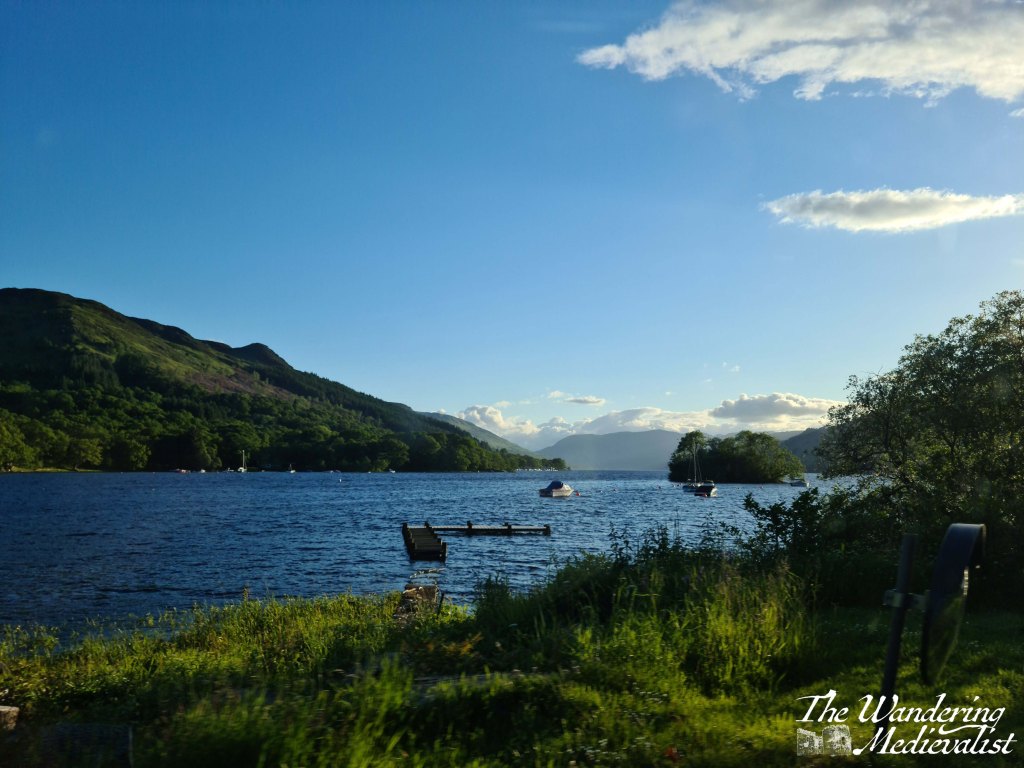
The A82 route from Fort William to Onich is about 10 miles, and hugs the edge of Loch Linnhe. For most of the route, the trees block the view of the water, but there are a few gaps and parking spots where you can pull over – in particular the Linnhe Picnic Area, about 7 miles along, which is a spit of land sticking out into the loch and providing views in both directions.
This stretch of road is winding, no question, with few straight bits. My advice? Pay attention if the signs warn you of a sharp turn.
We have never stopped properly in Onich but it seems a nice little town with a few hotels, guesthouses and B&Bs taking advantage of the proximity of Fort William and Glencoe.
Part 2: Onich to Ballachulish – 4.5 miles
From Onich, it is a simple matter of following the A82 across the Ballachulish Bridge, which spans Loch Leven. Once across you can head straight south towards Oban, and this is also a beautiful drive along the water, but my route will take you left towards Glencoe.
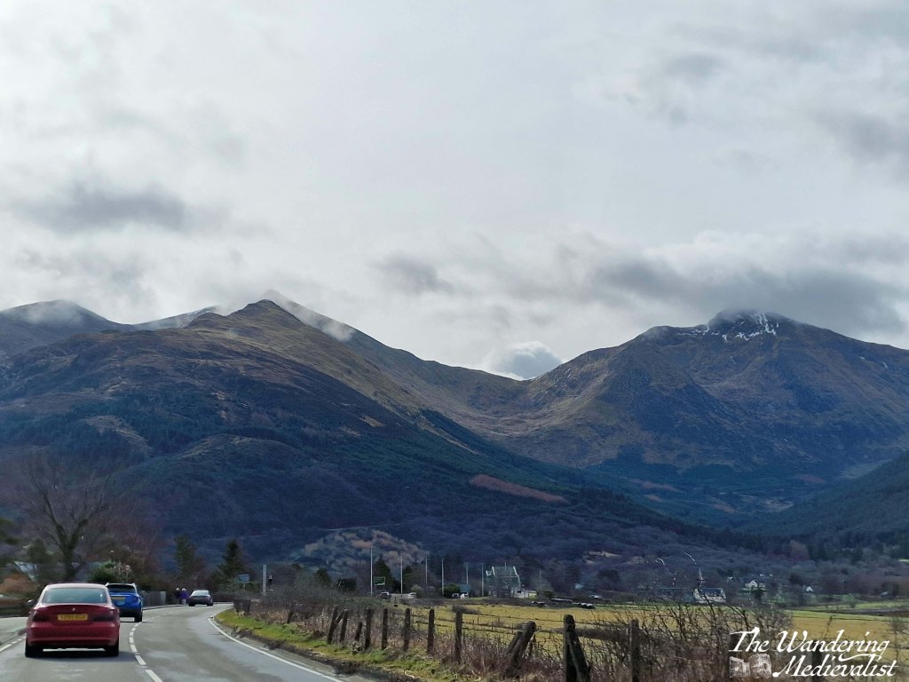
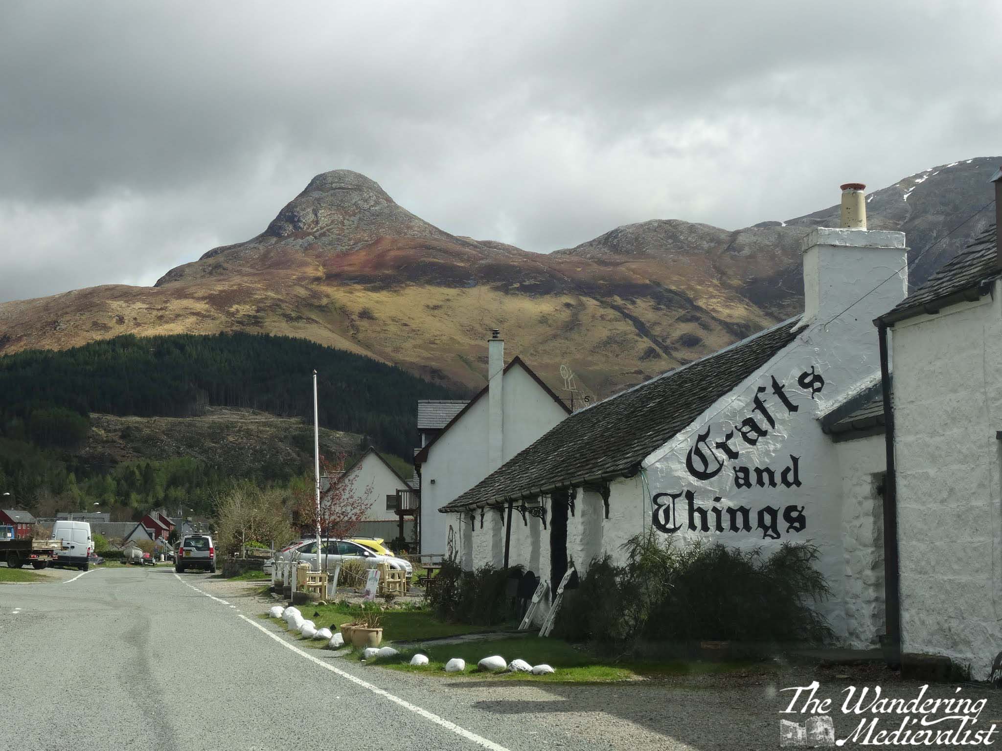
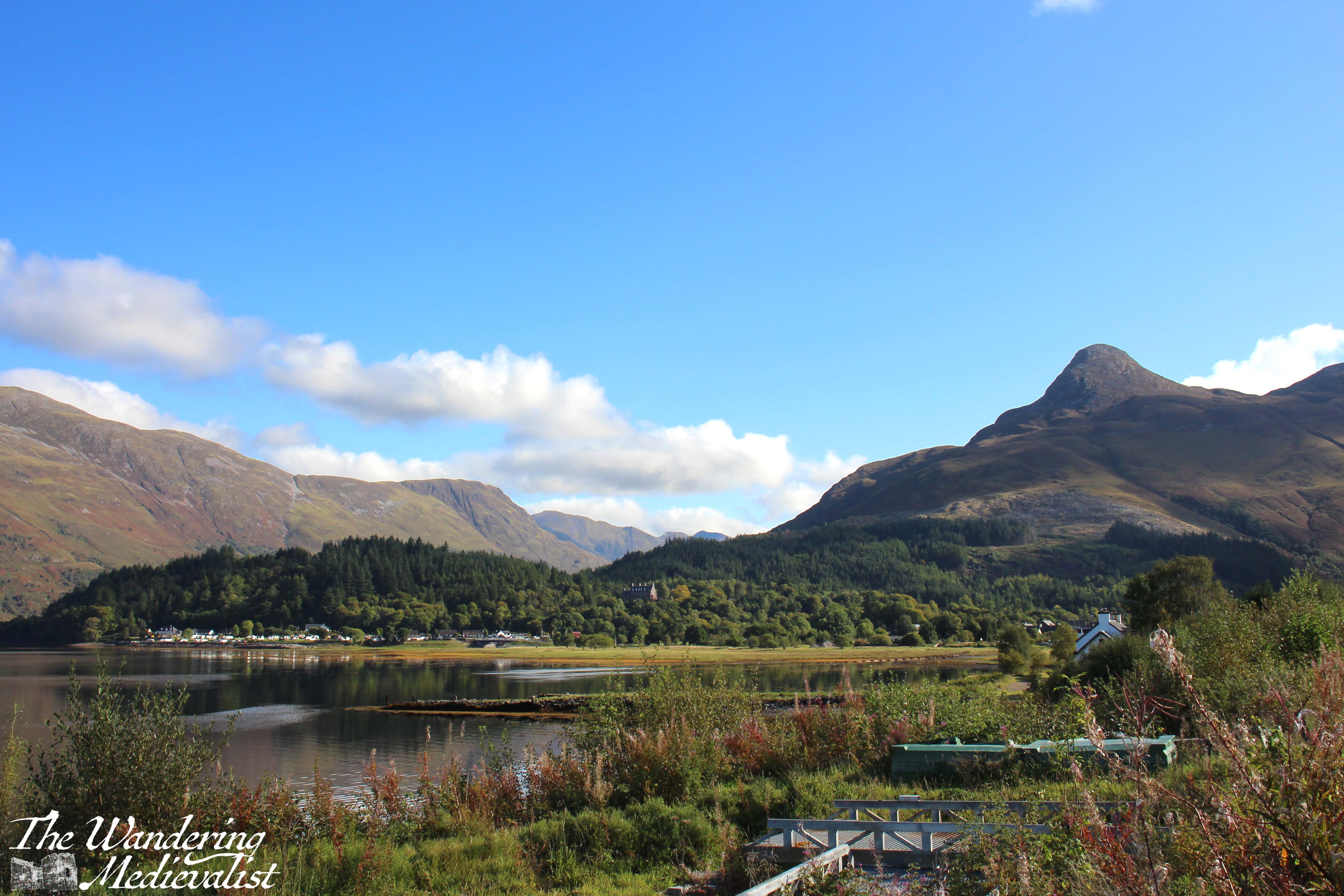
Almost as soon as you turn you will be heading immediately for a distinctive sharp peak called the Pap of Glencoe, and beyond it ridges of mountains leading east. On our first ever long weekend away together, the other half and I found a deal at the Isles of Glencoe Hotel in Ballachulish, which sits on a promontory in the loch. The views are just spectacular, especially at sunset. If you can, pull over at the parking area along the loch just after the hotel, or even turn into the village and get a coffee or snack at Crafts and Things. It was more than 10 years ago that we visited, but the other half still fondly remembers sitting in the April sun, looking over the loch with a cuppa and a tiffin.
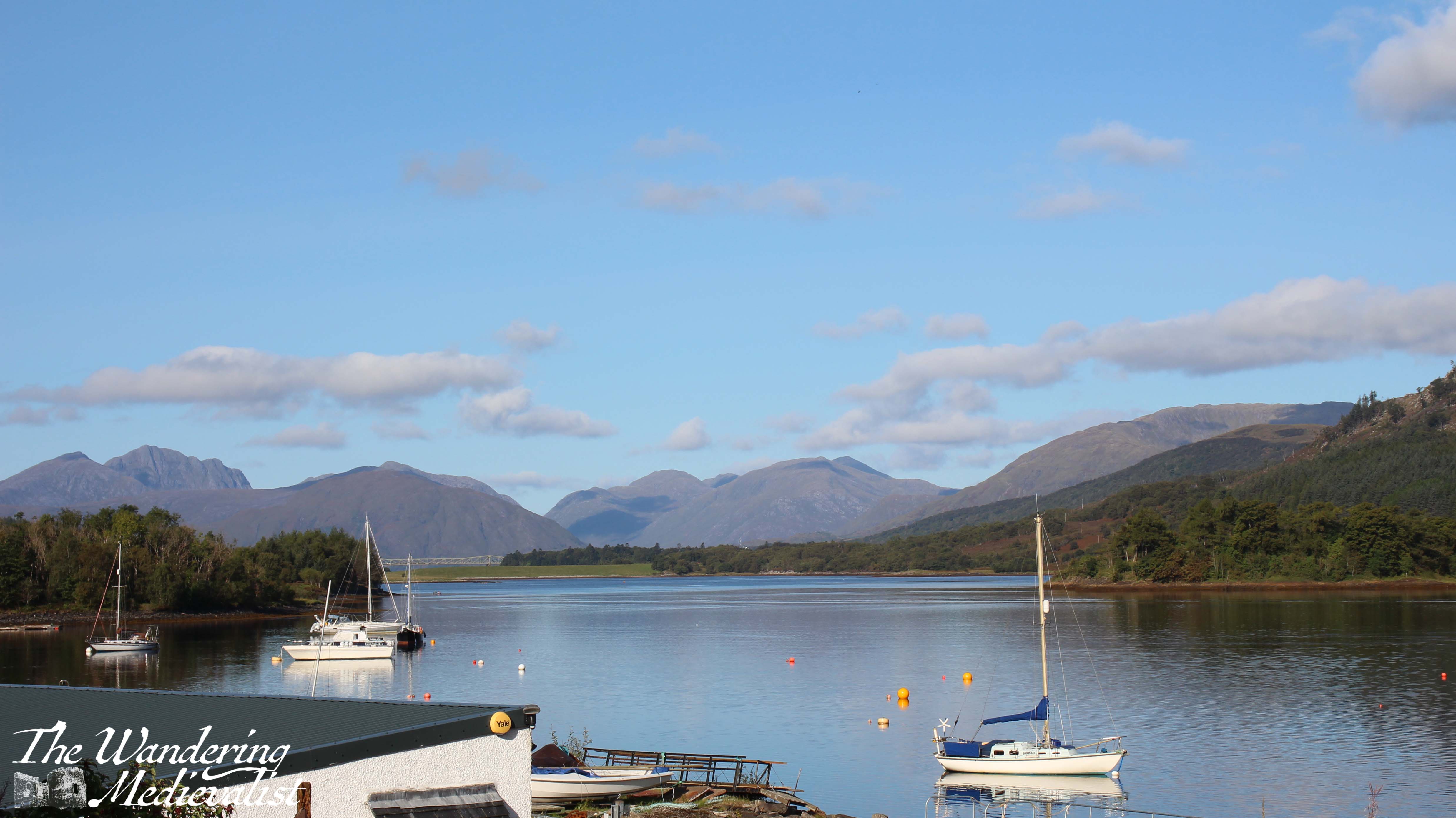
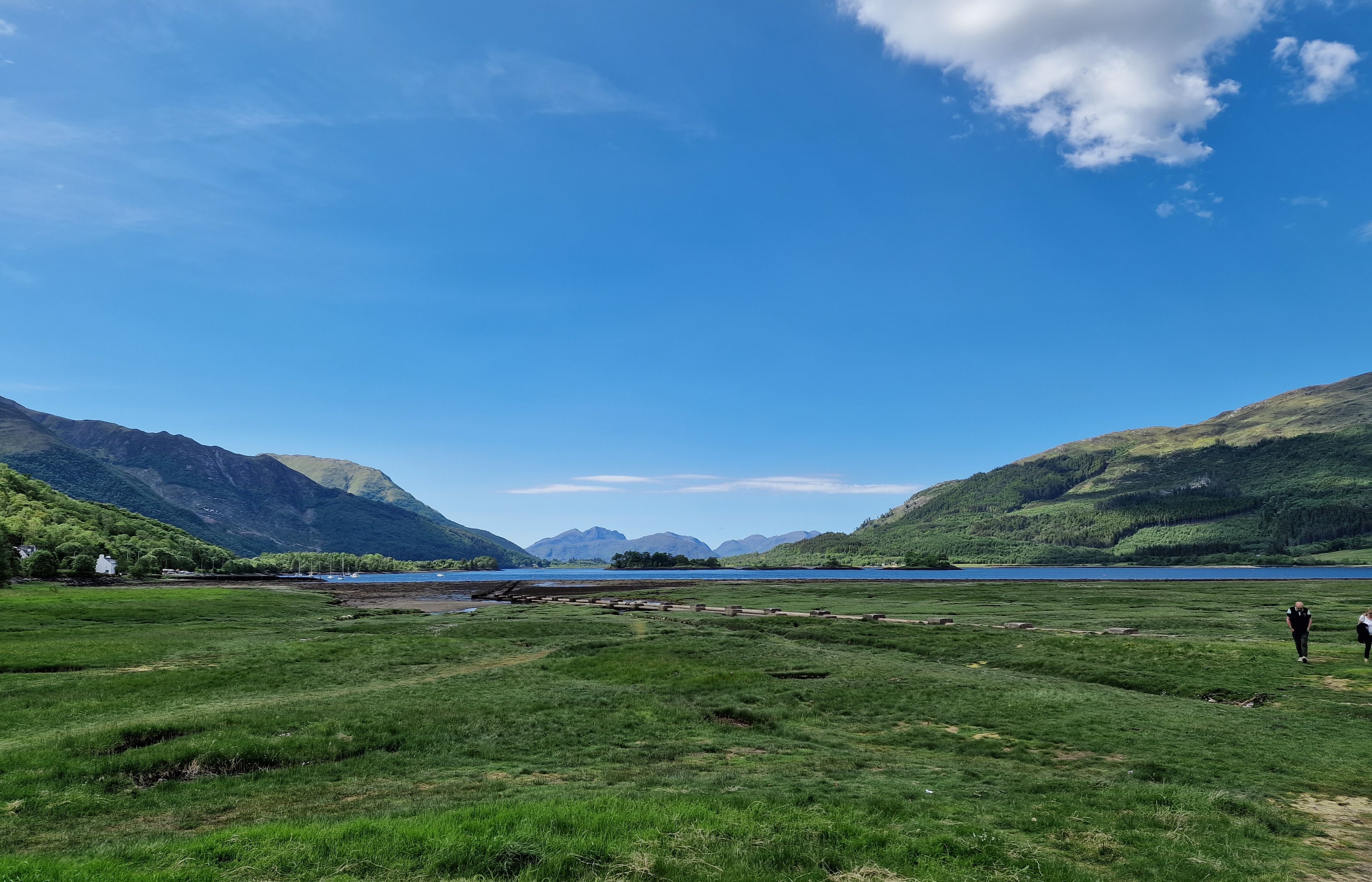
You can also take a quick detour left into the Loch Leven viewpoint (above), which as it suggests provides a view down the loch towards the bridge, at this point obscured by islands. Mountains rise in the distance and give you a preview of what is to come. This is also the route to the Glencoe Lochan walks.
Part 3: Ballachulish to Loch Achtriochtan – 5.5 miles
After Ballachulish the road turns inland away from the loch, and enters Glen Coe proper. Only 2 miles along on the right is the Glencoe Visitor Centre, where you can learn about the region and the famous massacre of 1692.
Mountains are rising on both sides of the road and ahead, often a combination of brown-grey scree and stone with lighter green patches of heather and ferns, and darker green foliage. The road here is in relatively good shape with a few potholes, and many drivers slow down both due to the sharp turns and the views. Enjoy the width of the lane while you can!
Another mile or so south, the road swings more sharply east to continue along the glen. Ahead of you the A82 stretches along the valley and then begins to climb, and ahead to the right is Loch Achtriochtan.
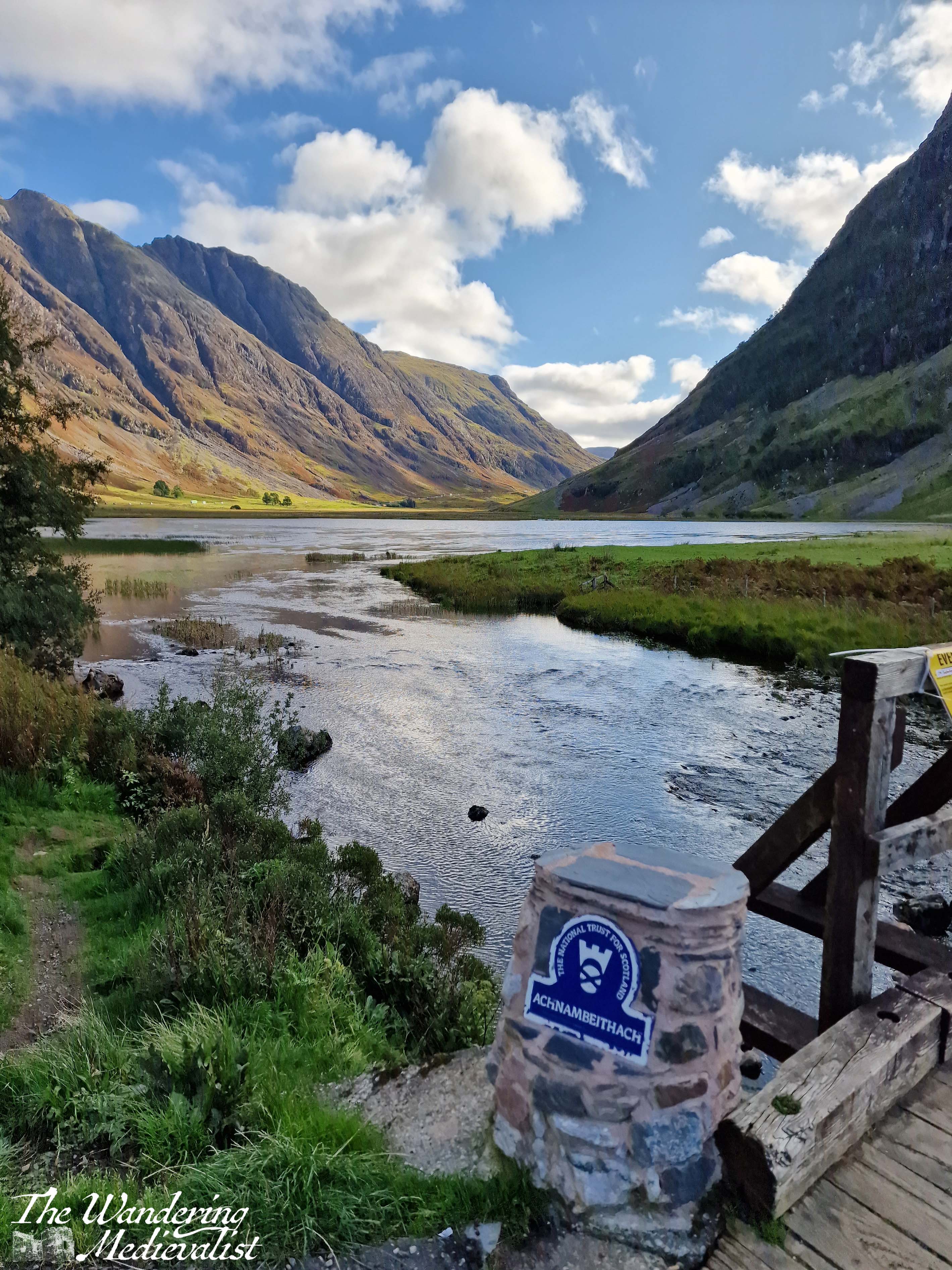
It can be a very busy and treacherous stretch of road, with drivers going faster than they should and plenty of tour busses and caravans, so I recommend pulling into the Loch Achtriochtan car park. Here you can either pause at the bridge, or cross to make friends with some sheep and approach the waterside. This spot allows you to capture the gorgeous hillsides and loch.
There is also apparently a turn-off around here to view Hagrid’s hut from the Harry Potter films, though I have never done so.
Part 4: Loch Achtriochtan to the Three Sisters viewpoint – 2 miles
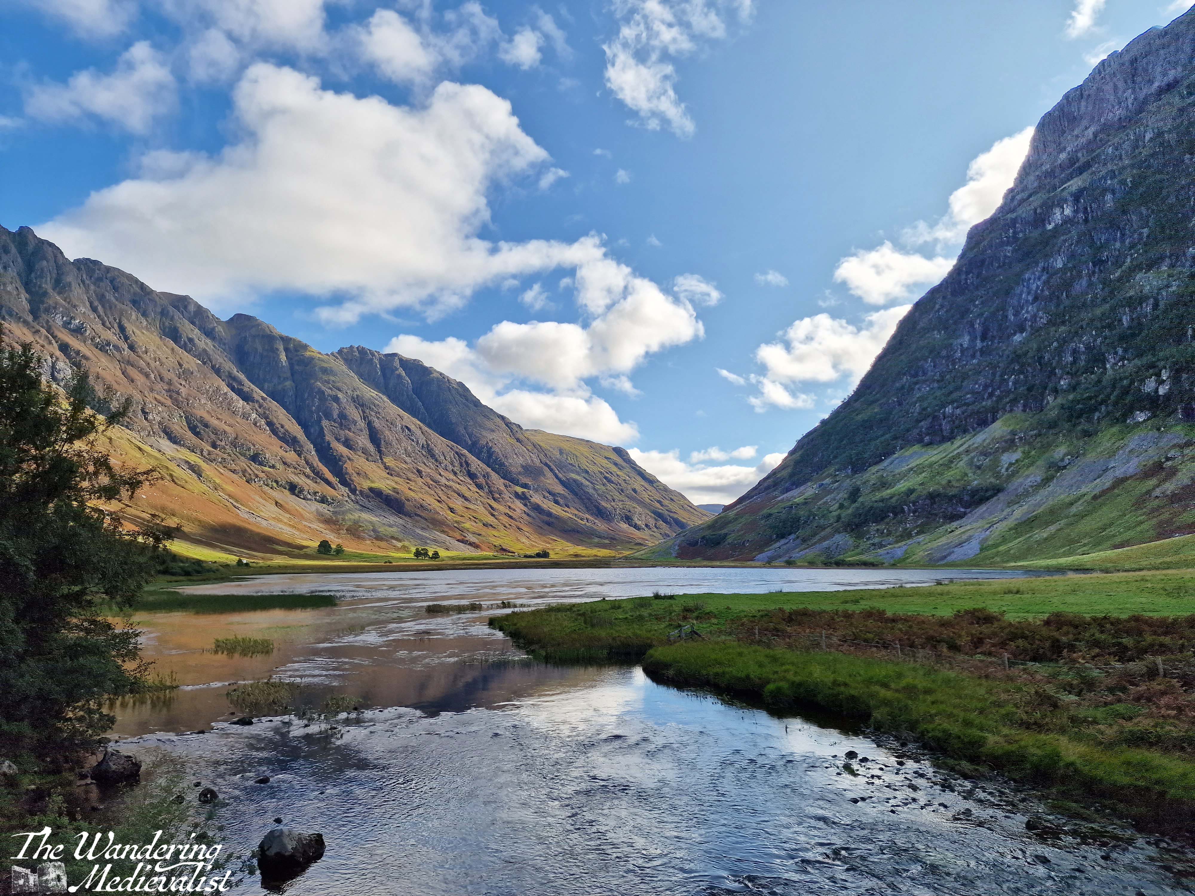
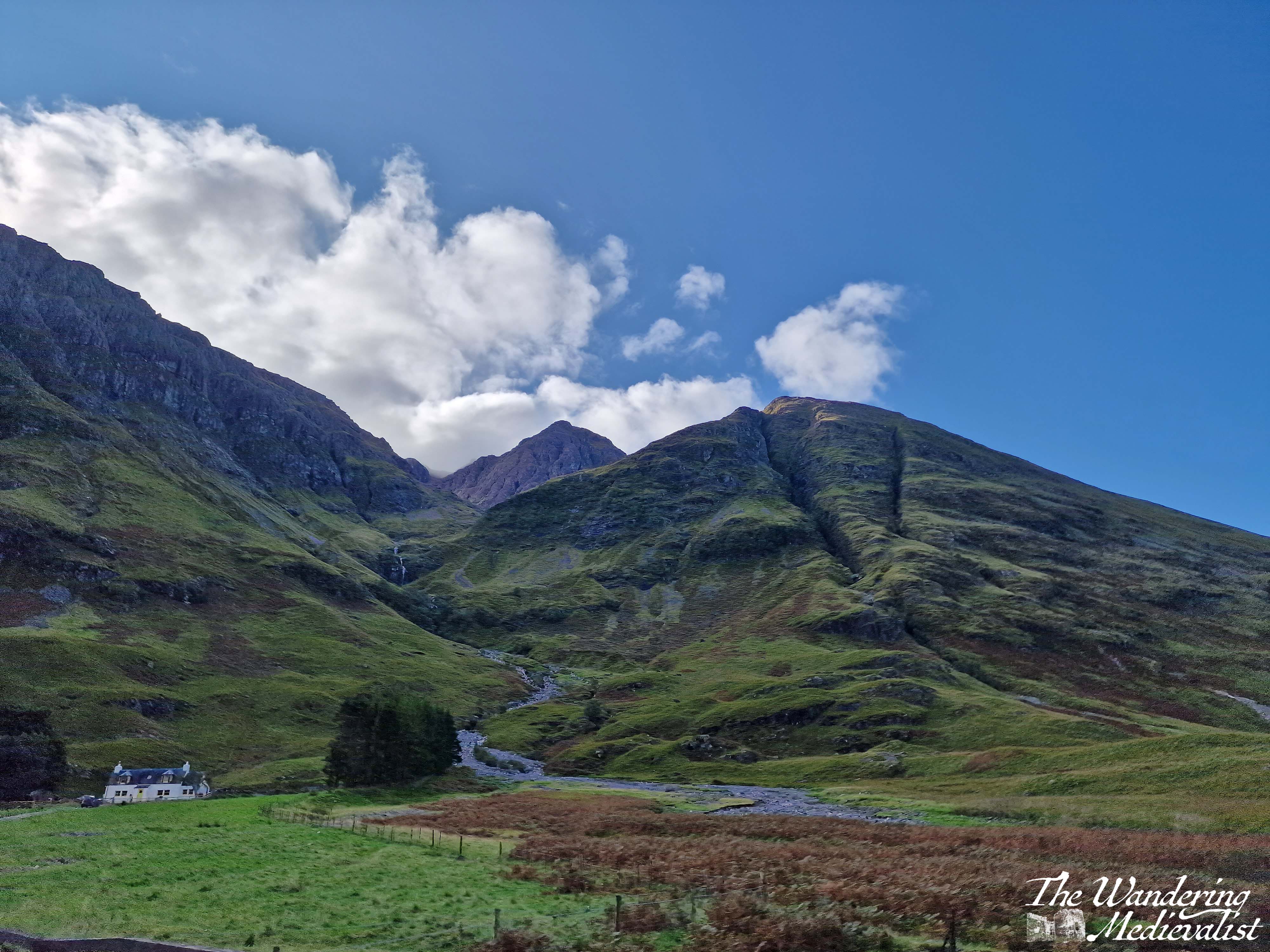
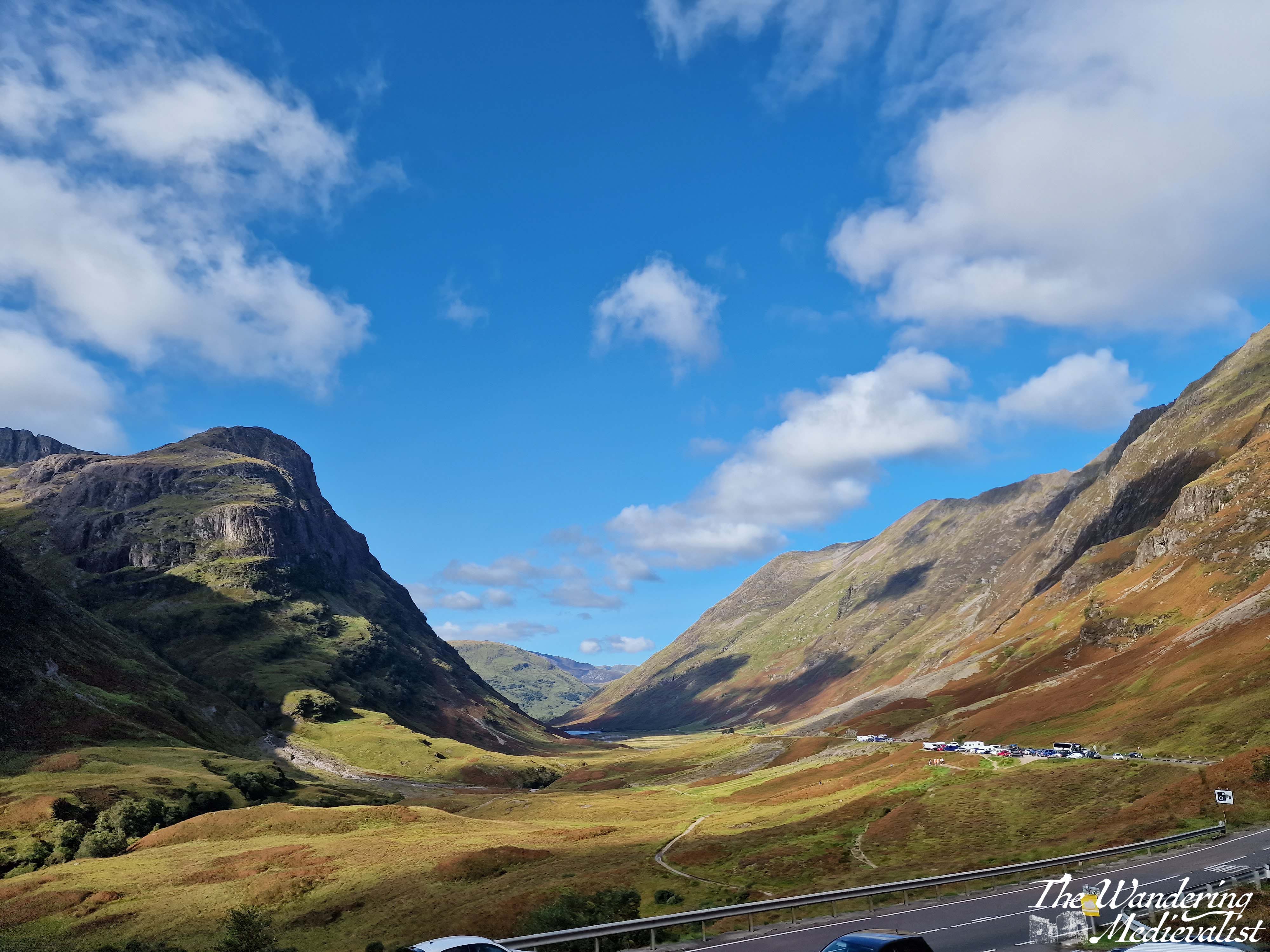
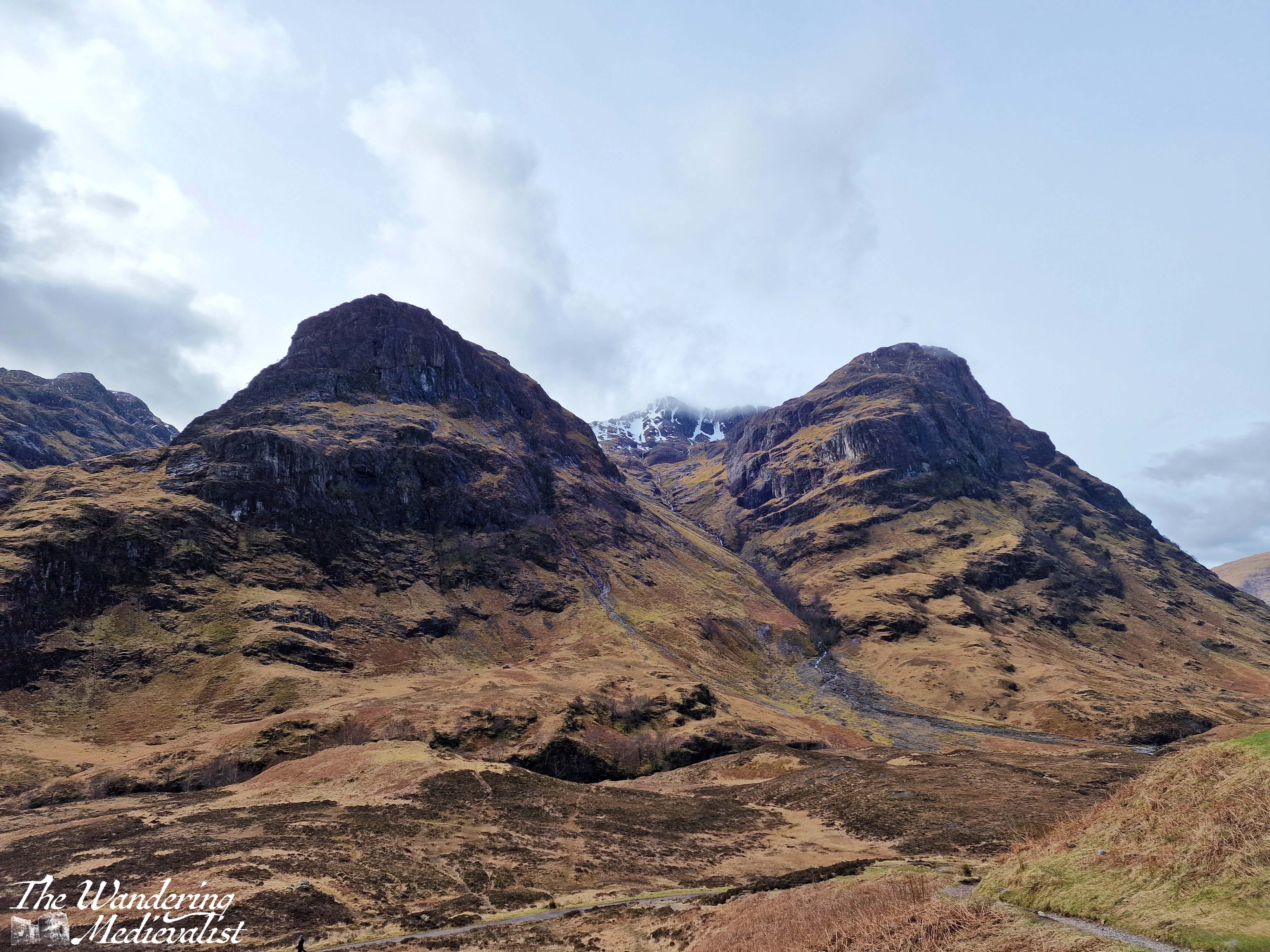
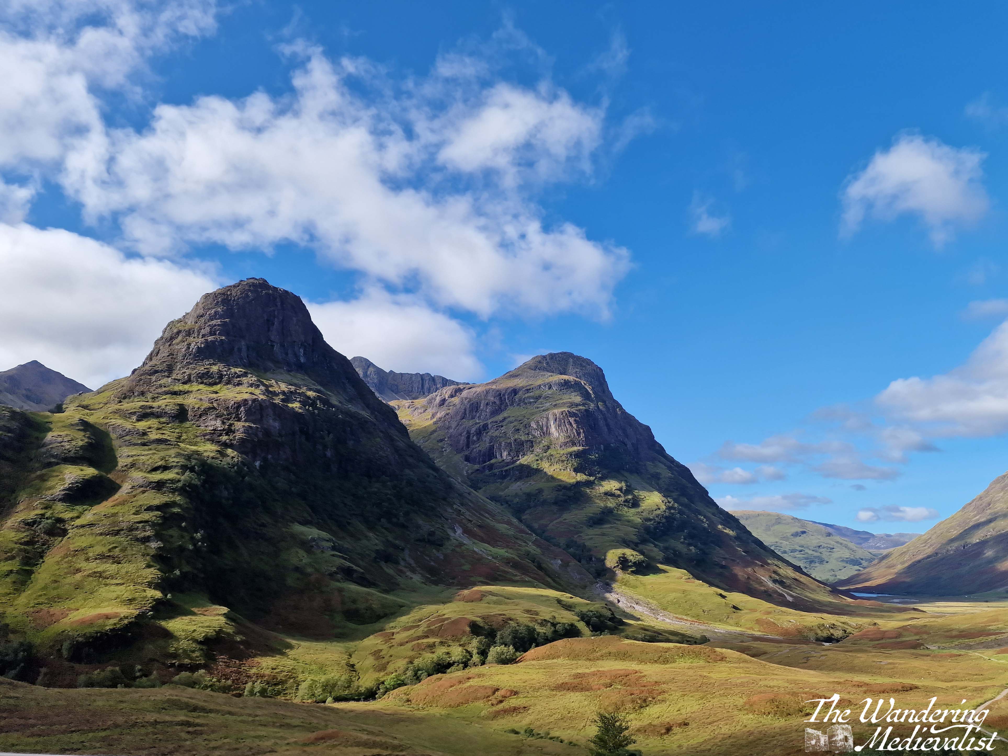
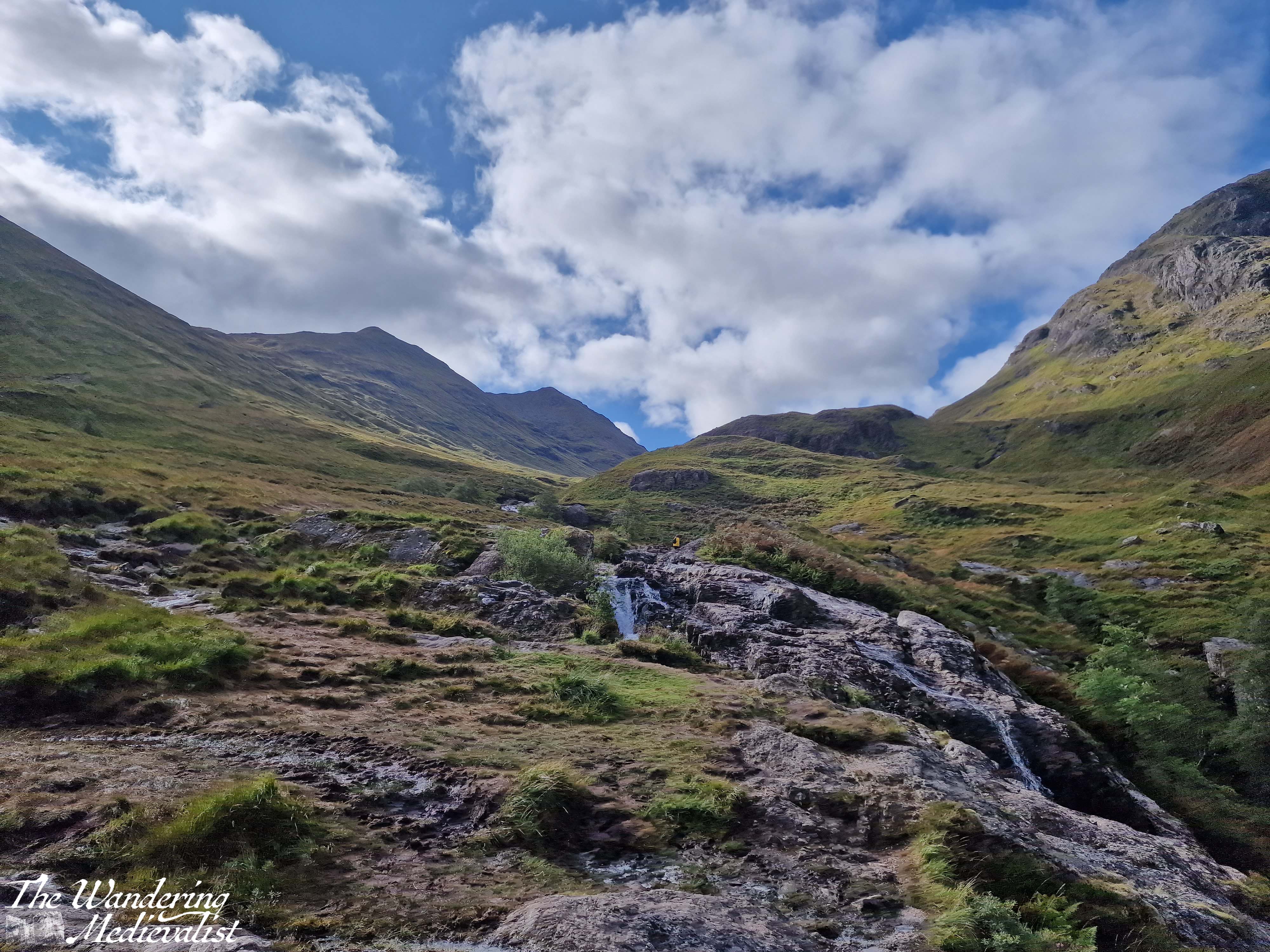
Once you have dragged yourself away form the the loch, it is two miles further to the pièce de résistance of this drive – the view of the Three Sisters of Glencoe. Until quite recently, there were several places you could turn off and you were often taking your life in your hands trying to park and find a safe place to get back onto the road. In the last year or two however they have built a proper car park – and another one for tour busses – to allow the many visitors to safely park and explore. There are a few parking spots slightly further up the road too, and there are paths leading down into the valley or up the hillsides.
The Three Sisters of Glencoe is one of the most photographed spots in Scotland and only a visit need tell you why. I have countless pictures from different times of year and I can never decide which one I prefer. Some day soon I hope to do some of the walk down into the valley and across the bridge, though I know I do not have the fitness or skills needed to venture too much further up into the hills at this point. Aonach Eagach Car Park is another good option but often too busy to find a space. It is at the trailhead for the Lost Valley trail and provides a slightly different view of the valley.
Side note: if it seems at this point as if you are just driving a few miles and then stopping again, you’re not wrong, but I promise the stops are worth it. If you get bored, skip one! But if this is your only trip to Scotland, I’d take advantage of them all.
Part 5 – Three Sisters Viewpoint to Meeting of the Three Waters viewpoint – less than 1 mile
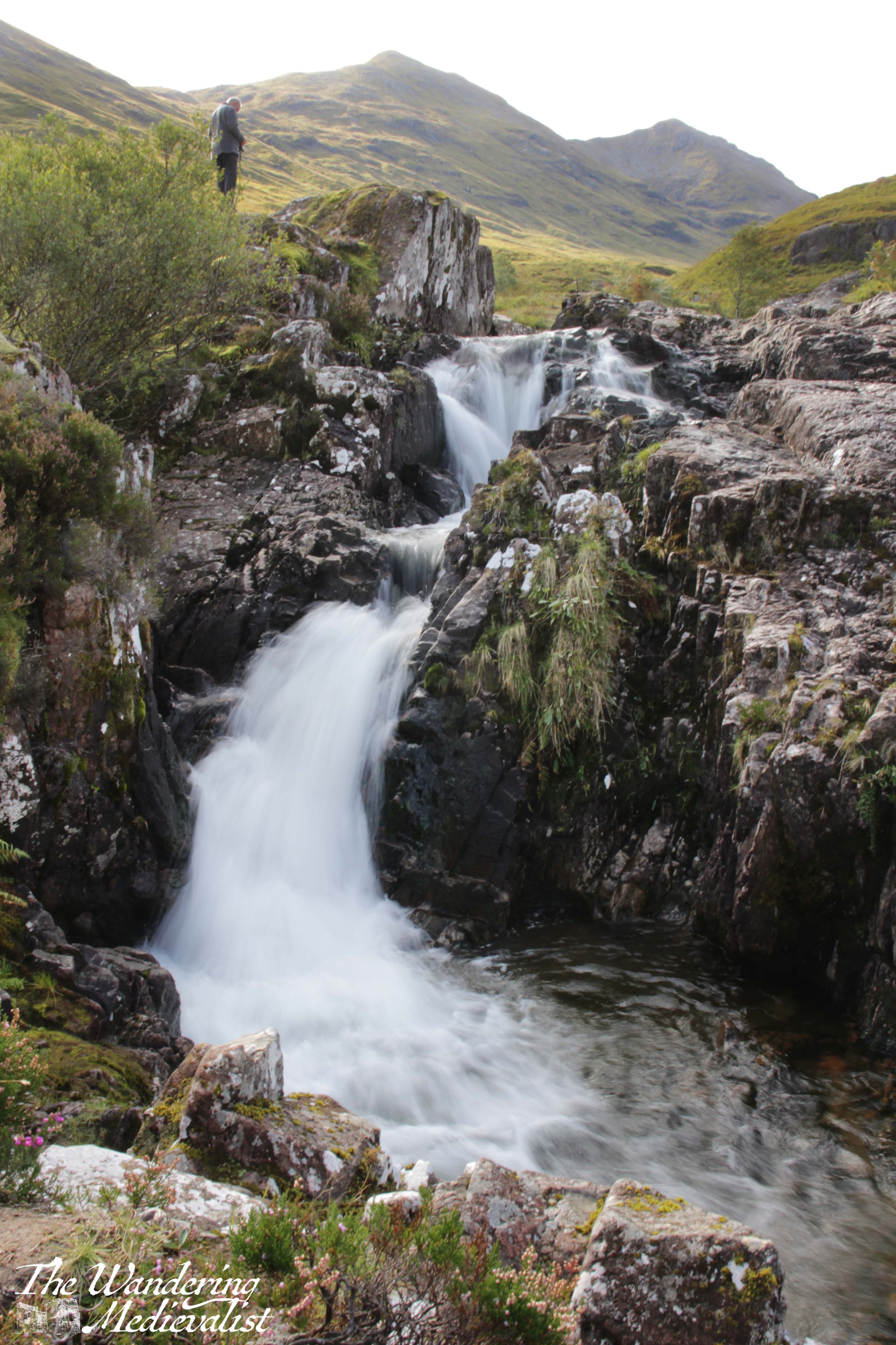
Yes, this is a short drive. I had passed it by many times before I made myself actually stop on one beautiful autumn day. The waters are, as it sounds, three separate rivers (Allt Coire Gabhail, Allt Doire-bheith and the River Coe) that meet here at a pool and series of waterfalls, before continuing down the glen towards the lochs.
There is a short climb from the car park that takes you up the rocks and over the waterfall, and the start of the climb is a bit ropey. But, once you have clambered up the hill, you reach a stunning viewpoint that shows you the newly built road, the falls, and the burn heading up into the mountains. There is a pool where I have seen people swimming – brave souls – and of course a trail that follows the burn. I dragged my octogenerian father up to see the view and I think even he was impressed. It is easy to see here the old military road, which was in modern times replaced by the route of the A82.
One point I should make is that in that .7 miles between the two spots, you are driving along a narrow road.
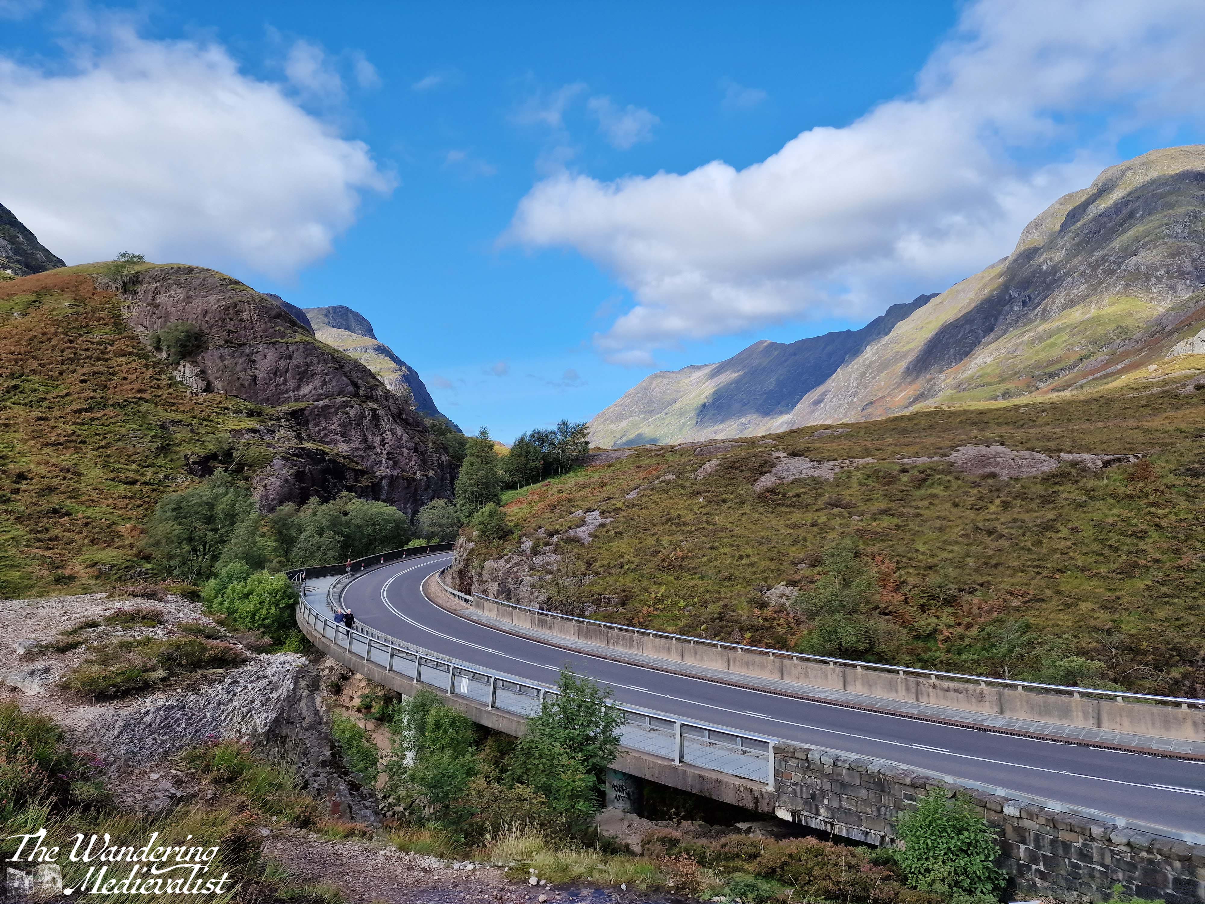
At one point, the highway cuts through the hillside, with solid rock towering on either side, and leaving very little room for error. Not that anyone would err…
It can be a bit harrowing even after several goes, so take it slow and easy.
It is very easy to miss the parking spot for the Meeting of the Three Waters
and this is not an easy place to turn around, so definitely use your Google/Applemaps or whatever Satnav system you prefer to warn you.
Part 6 – Meeting of the Three Waters to the Kingshouse Hotel – 5 miles
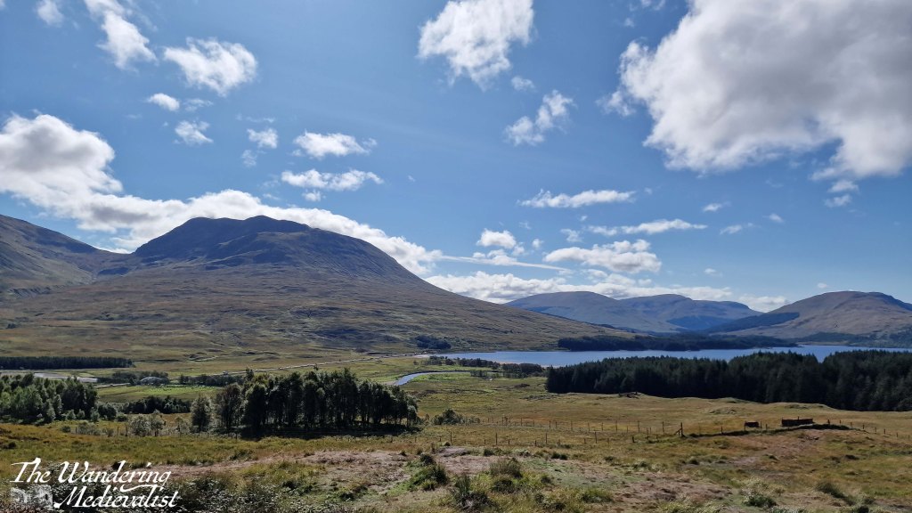
Beyond this parking spot are plenty more viewpoints and places where you can pull over, and it’s really about deciding how often you want to stop, and how busy they are. Sometimes there are so many cars parked in a small spot that you really cannot safely get off of the road. Once you have had your fill of waterfalls, you can make a bit of headway as the road opens up a bit with mountains on either side. Eventually the road will hug the edge of Rannoch Moor, and this is where in bad weather you can really start to feel the car being blown about.
The Kingshouse Hotel is a popular stopping place though they are strict about people coming in just for the view. I would love to stay and know friends who were married here during the pandemic – this area is famous for the amazing views of the mountain, Buachaille Etive Mór. You can also take a detour here and drive part of the way down Loch Etive, though as yet I have not done so. Some trip, one day!
Part 7 – Kingshouse Hotel to the Loch Ba viewpoint – 5 miles
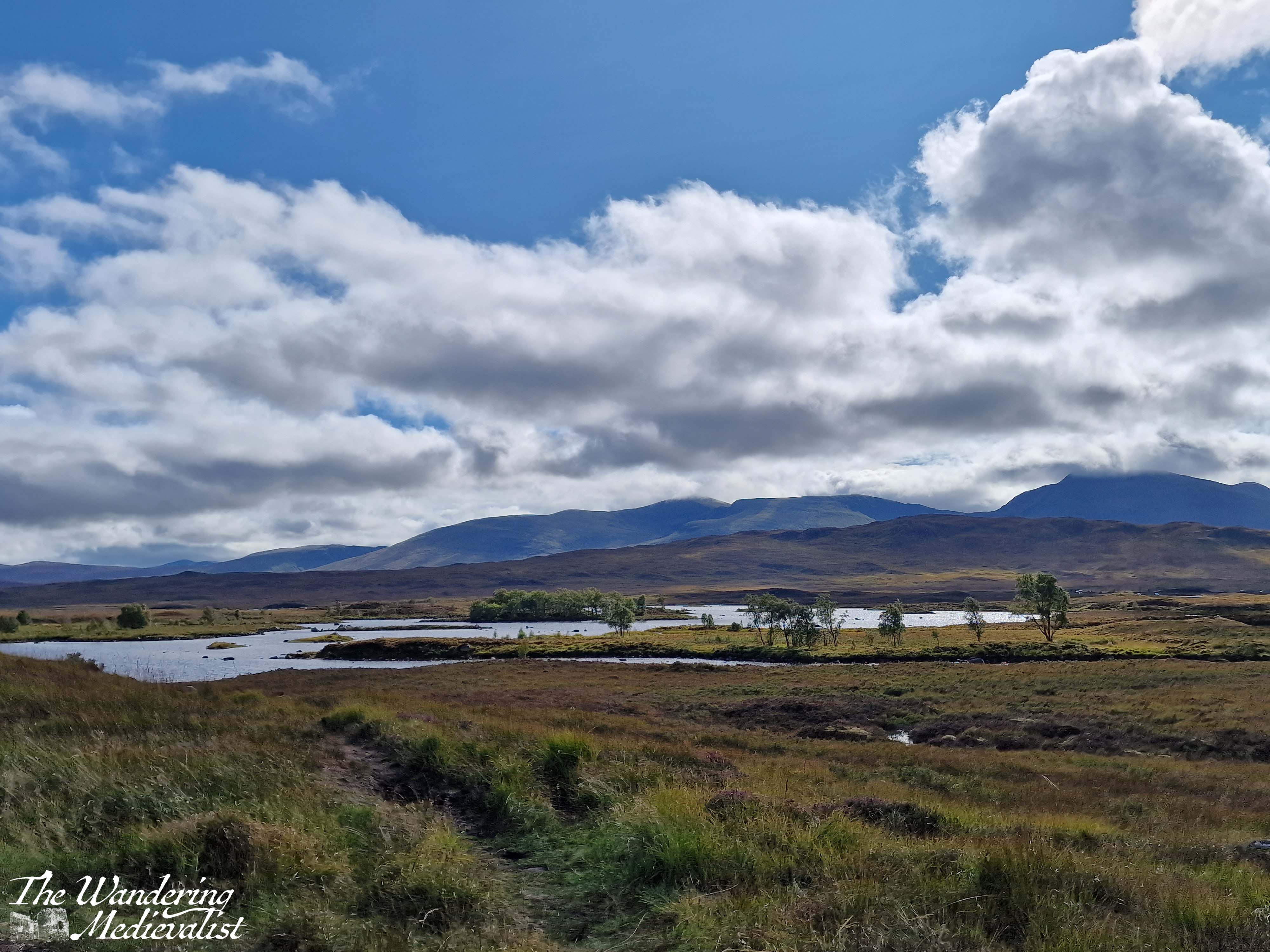
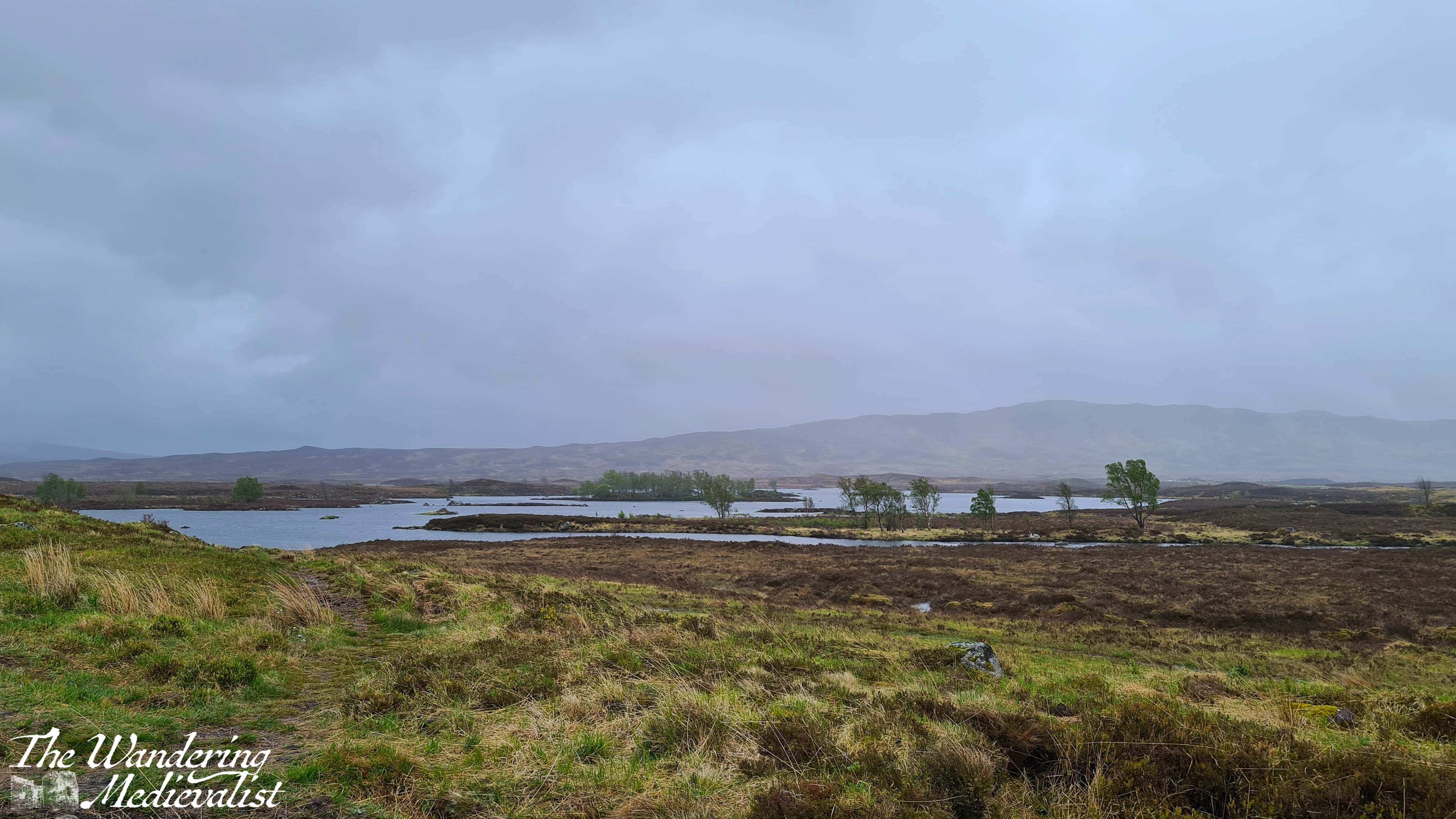
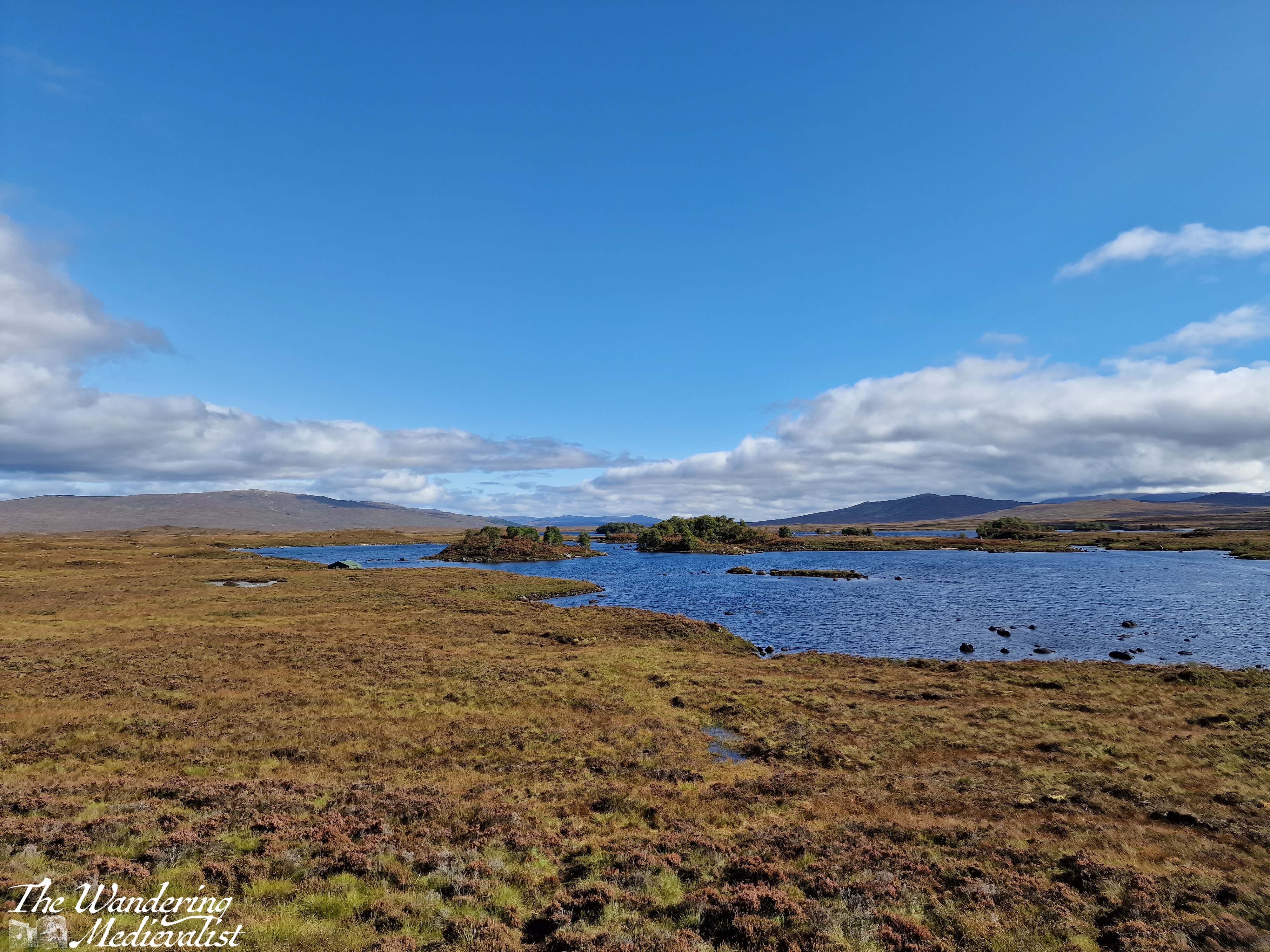
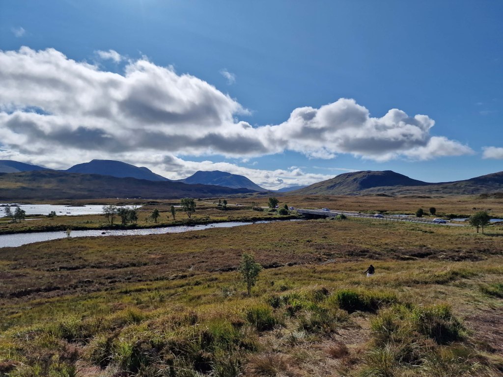
Just after the hotel you will pass the turn-off to the Glencoe Ski resort – the trails are evident – and the mountains stay a bit closer on the right though they start to fall away on the left, as the moor creeps closer. This is quintessential Scotland, in my mind – boggy moor with mountains in the distance, countless little burns falling over rocks and carving their way down from hills and across the landscape. Rocks poke through either on their own or in clusters and chunks, covered in lichen and reminding one just how thin the soil is here. There are a few lone trees, but most of the landscape is relatively barren.
The final place that I cannot resist stopping is the Loch Ba viewpoint. There is usually plenty of space to pull over, and it is easy to see coming due to the lump of land that marks the view. Climbing this short hillock allows for 360 views, though it is the one almost due east that I love the most – glistening loch with plenty of small islands, leading away into the wilderness.
Behind you are the peaks of Glencoe, and ahead just the road, leading towards the next hills in the distance. I can understand why some might assess it as stark, but I think it is gorgeous.
Part 8 – Loch Ba viewpoint to Crianlarich – 19 miles
About three miles beyond the Loch Ba viewpoint, you realise how high the road still is when it suddenly, dramatically, begins to fall. There is a sharp descent through an s-bend that can challenge lorries and busses coming the other direction, though there is also a large parking area to pull over in if needed. From here, the road is a bit less dramatic though still stunning, crossing the Loch Tulla bridge and winding its way across the valley floor before climbing again.
One of your last views of the lochs and lowland of the edge of the moor comes at the far side of Loch Tulla, where there is a small parking area, but the views are better in person than in pictures. From here, the A82 is heading almost due south, passing through a number of villages and meeting up with the rail line that runs from Glasgow to Fort William. Bridge of Orchy and Tyndrum stand out as the two larger towns, with Tyndrum in particular possessing several hotels, petrol stations – if you can get in – and the Green Welly stop which has always been so busy that we haven’t been able to get in. For some reason there always seems to be a large gathering of motorcycles here.
Tyndrum is also where the highway branches off towards Oban, and from here south can get busier. The remainder of the drive to Crianlarich is following the River Fillian and its many small tributaries; mountains continue to dominate on both sides though they are slightly less dramatic than further north.
Crianlarich is another smallish town that has become significant for those heading to the Highlands. Firstly, it is where the road branches either to continue south towards Loch Lomond and Glasgow as the A82, or east to Loch Earn and Perth as the A85. Secondly, it is where the rail line divides. As I mentioned in my exploring Scotland by public transport post, the train from Glasgow north can go either to Fort William or Oban, and Crianlarich is where it stops long enough for the train to either split in two, or be re-joined. There is also a significant hiking peak, Ben More, not far from town, and plenty of places to stop for the night.
Part 9 – Crianlarich to Lochearnhead – 16 miles
The 16 miles from Crianlarich to Lochearnhead is highlighted by a bit wider road, and slightly lower mountains, though still offers glimpses of lochs off to the left. Just over half-way is the turn-off to Killin, where one can view the Falls of Dochart. There is also what I will always refer to as my emergency petrol station – on my last drive back with Dad, I misjudged how much petrol we had and could not see a place to stop in Crianlarich, so was running on fumes by the time we reached this spot. I was considering just going into Killin where I knew there was petrol, but this station saved us and allowed us to continue without a detour.
After the emergency petrol station, the road climbs and winds again through what is clearly planned woodland. One of the most dramatic parts of the drive is as this path falls again, with the road hugging the mountainside and a sharp drop on one side. Ahead, though, is Perthshire and in what feels like no time at all, you enter Lochearnhead, and take a left to stay on the A85. While there is not a huge amount here, there is a safe and relatively clean public toilet that can be a godsend if you have not stopped anywhere except viewpoints since Fort William.
Part 10 – Lochearnhead to Crieff – 19 miles
The drive along Loch Earn is beautiful. The loch itself is long and narrow, with plenty of well-to-do houses along the edge and water sports galore: paddleboarding, sailing, swimming and fishing are all advertised. Especially on a sunny day, the glimpses of glistening water through the trees make you want to stop and find a boat of your own.
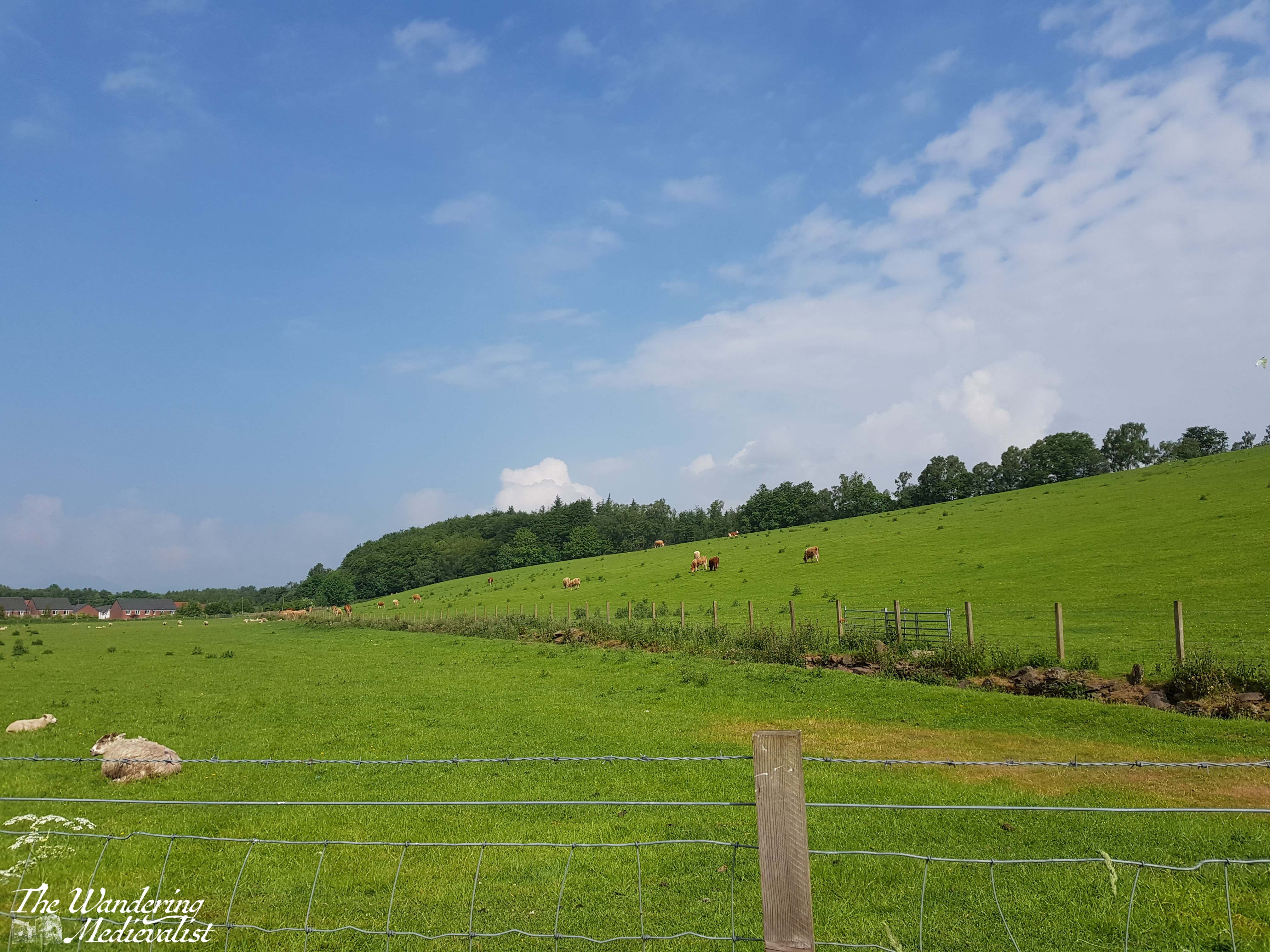
The drive from one end to the other is about 7 miles, and the town at the far end – St Fillians – is a charming village with plenty of Victorian-era gingerbread-style houses and lovely gardens. After St Fillians, the driving is much more lowland, with farms on either side, sheep fields and stunning stone farmhouses dotted between stands of trees and hills.
Crieff itself is an excellent spot to stop for a snack if you need, or you can push on through towards Perth – another 15 miles. This road offers a more Fife and lowland feel. Fields stretch off into the disttance over rolling hills, and the distant Ochils on the horizon. I have never liked this stretch but I think it’s at least partly because I know I’m heading away from the mountains, and that never ceases to make me a bit sad.
Once you have done the circular drive from Perth to Fort William and back again, you will quickly decide which leg you prefer and where you like to stop. I’m fond of both routes really, though I find myself often preferring the northerly loop as it can be a touch faster, traffic depending. I am looking forward to trying it again…tomorrow!
In spring of 2021, Scotland had been in pandemic lockdown since Boxing Day 2020 (the day after Christmas). Then finally, in April, the word came – we were for the first time permitted to leave our ‘local area’. We could leave Fife!
A walk was the most inevitable choice for our first out-of-county adventure, as there were still plenty of restrictions in place and staying outdoors was ideal. So, we chose for our first adventure a walk we had never tried before – the Hermitage Woodland Walk.
Through reading various websites, we opted to drive to the Rumbling Bridge end of the path and walk down towards Ossian’s Hall. At first, it seemed an excellent choice – the path was quiet, and the day was pleasant and sunny. But, as we made our first turn onto the Hermitage walk proper, we discovered that we were far from the only people with this idea – hordes of walkers, many clearly not used to such excursions, were enjoying being outdoors. We passed numerous people in flip-flops and carrying take-away coffee cups, girls in sundresses that were not designed for woodland walks, and families with young children and prams that were struggling on the rocky path. In fact, it was so busy that we only just reached the hall before turning back and fleeing to the quieter, further away paths.
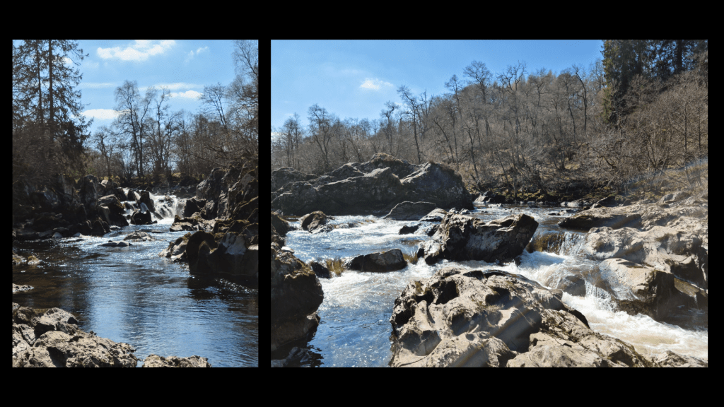
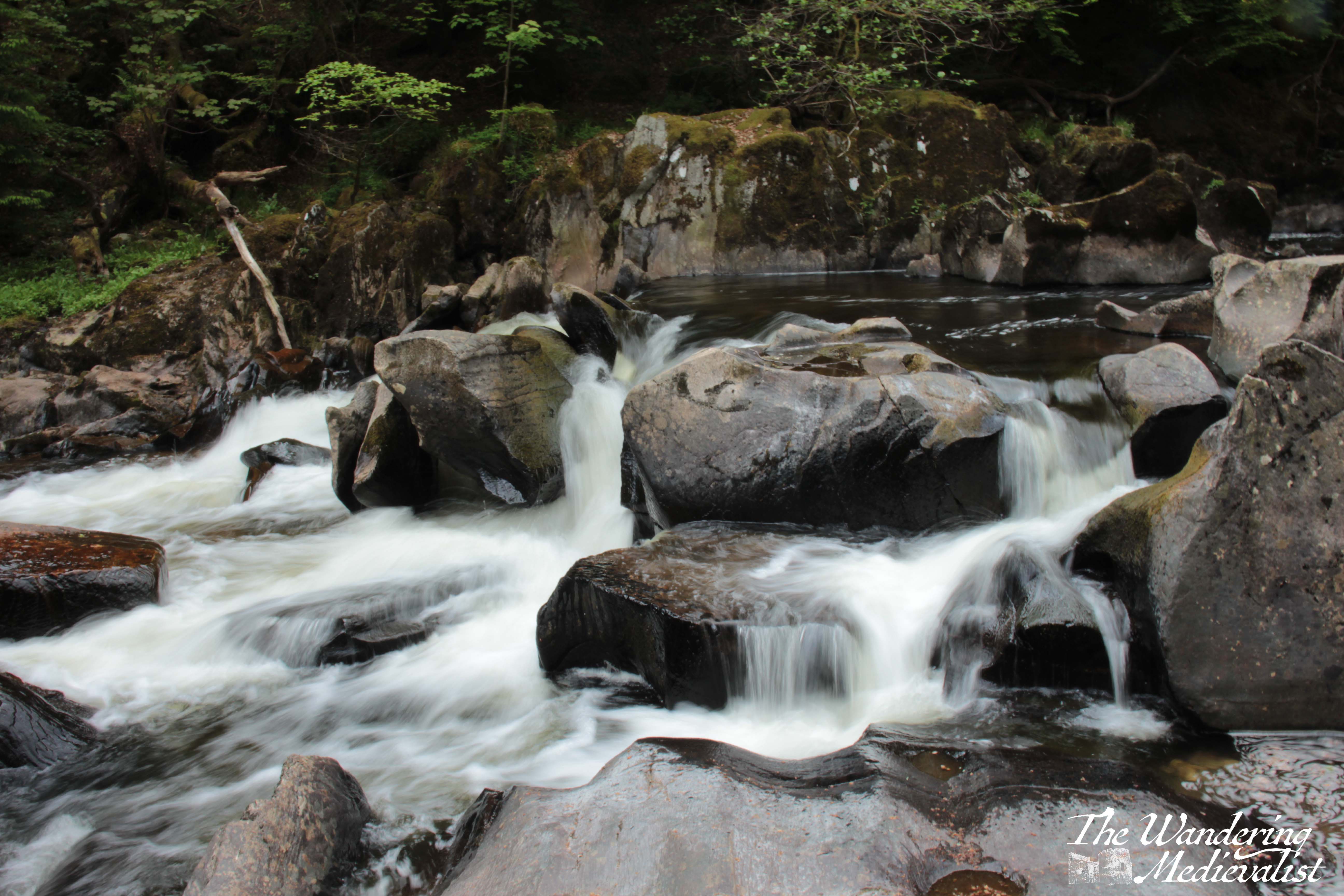
River Braan above the bridge
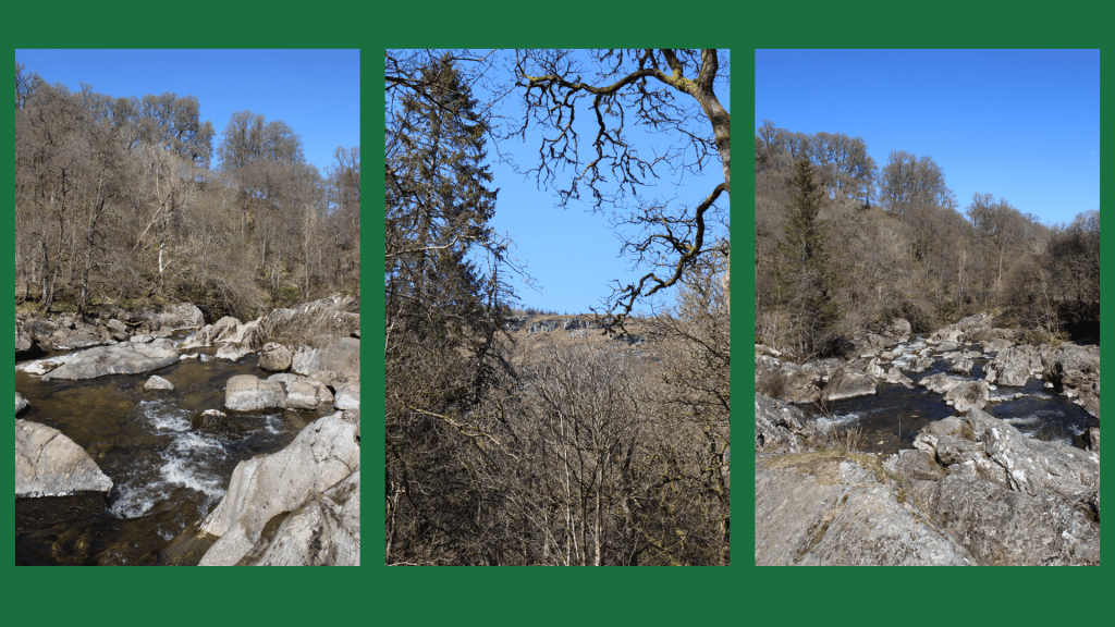
A quick note about the route we took in 2021: parking in the Rumbling Bridge car park – which requires turning up the A822 before you reach the Hermitage car park – allows you to hike downhill first, then back up to the bridge, and also to explore the River Braan as it tumbles over boulders and small falls. When walking from the ‘proper’ car park, it is easy not to venture all the way up to the Rumbling Bridge, but I definitely recommend doing so, particularly if you have a liking for rivers and waterfalls. But I’m getting ahead of myself.
More of the river above Rumbling Bridge
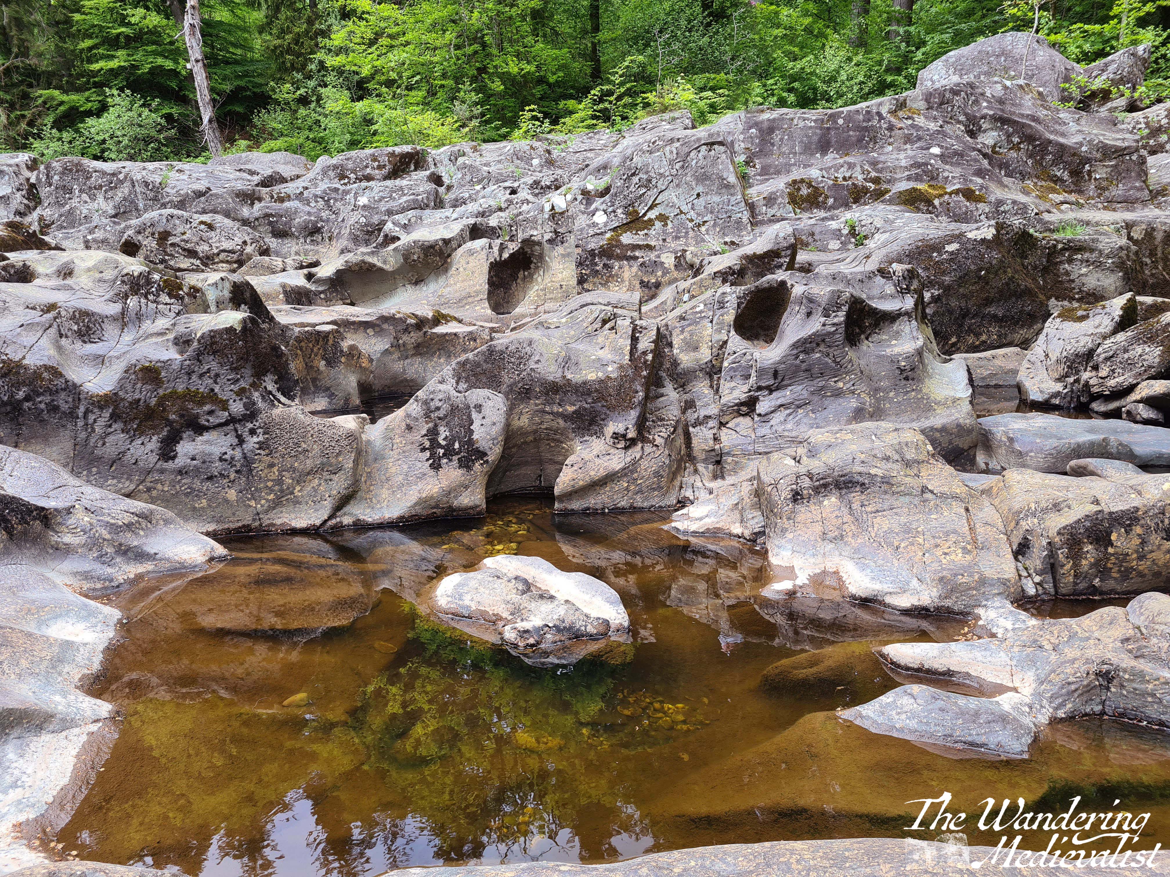
My second trip was with a work Step-Count Challenge group about a year later, and it was on this trip that I think was truly able to enjoy the beautiful path. My third trip, also with friends from work, was equally lovely, and we found – several years after the end of pandemic restrictions – a set of picnic benches, coffee and donut wagon, and port-a-loos that were passably clean, all right beside the main car park. Starting here, the path passes under the rail line and follows the river through majestic trees.
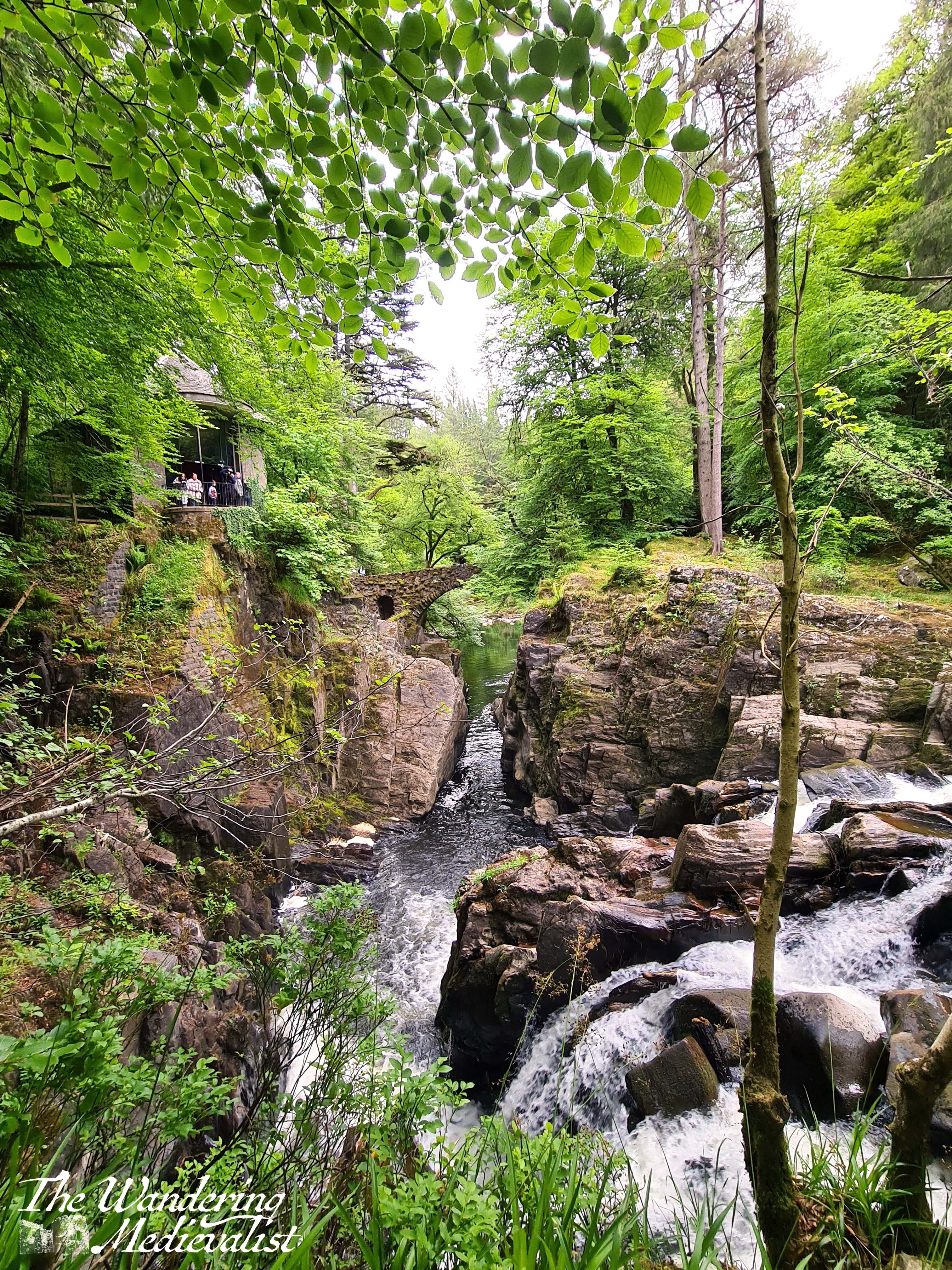
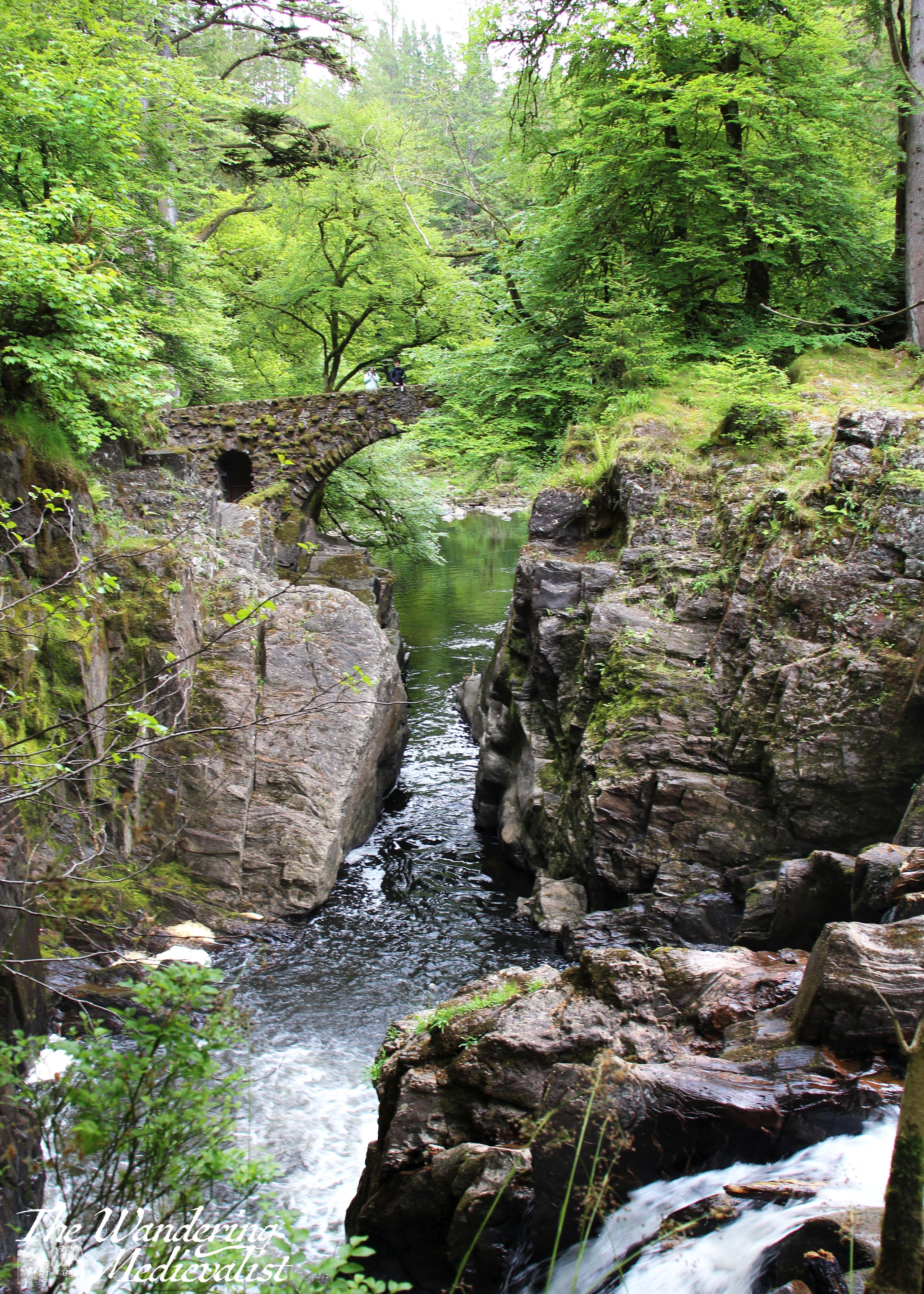
This area is wide and mostly flat with only the slightest incline, though the hillside rises sharply above the path. In a short time, there is a fork in the road, and taking the left-hand option leads to the highlight of the visit – an almost Tolkien-esque stone bridge and Ossian’s Hall. It makes sense first to take the short trip down the hill to stand on the bridge, where you can get a stunning view of the Black Linn Falls as well as the large pond beyond the bridge.
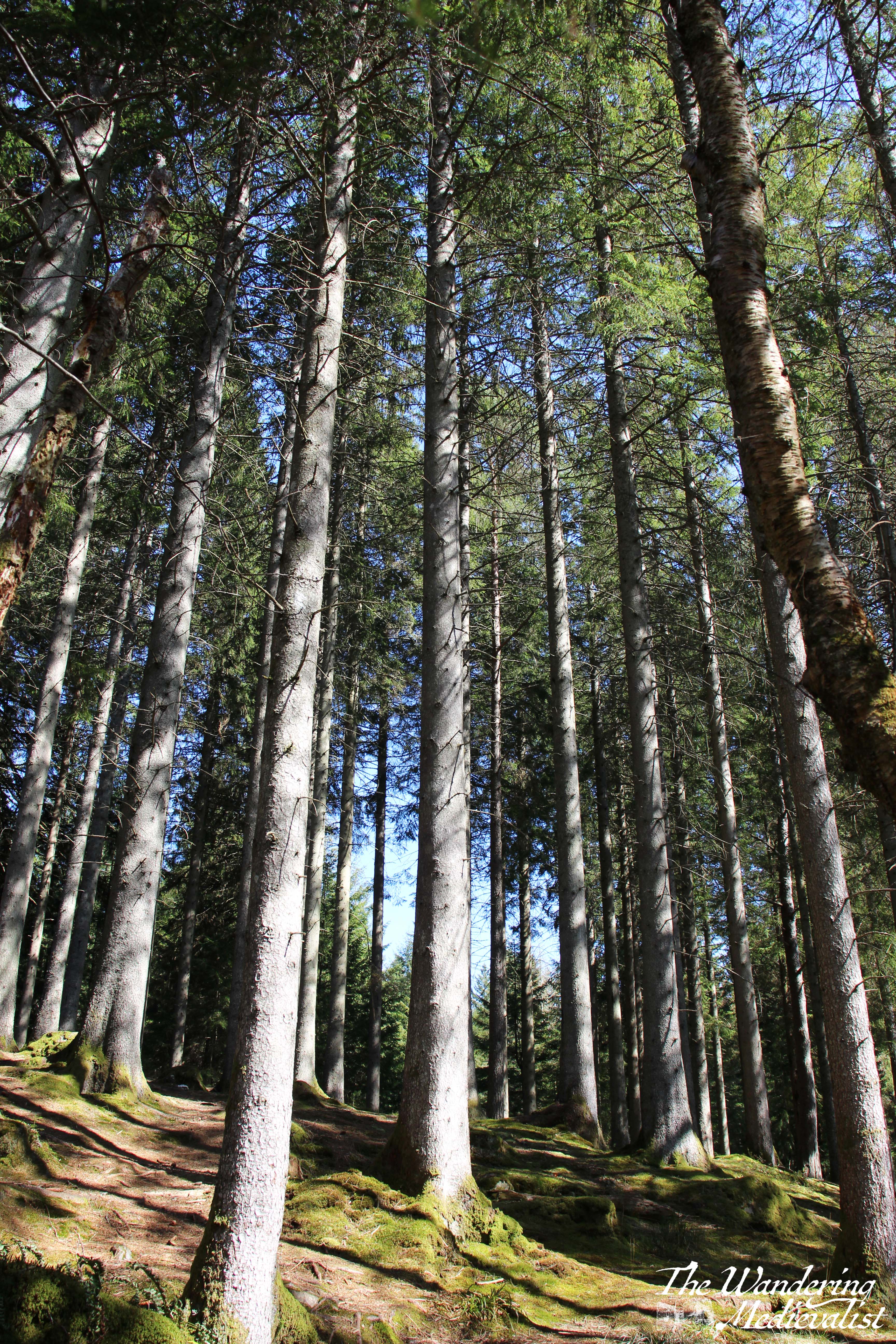
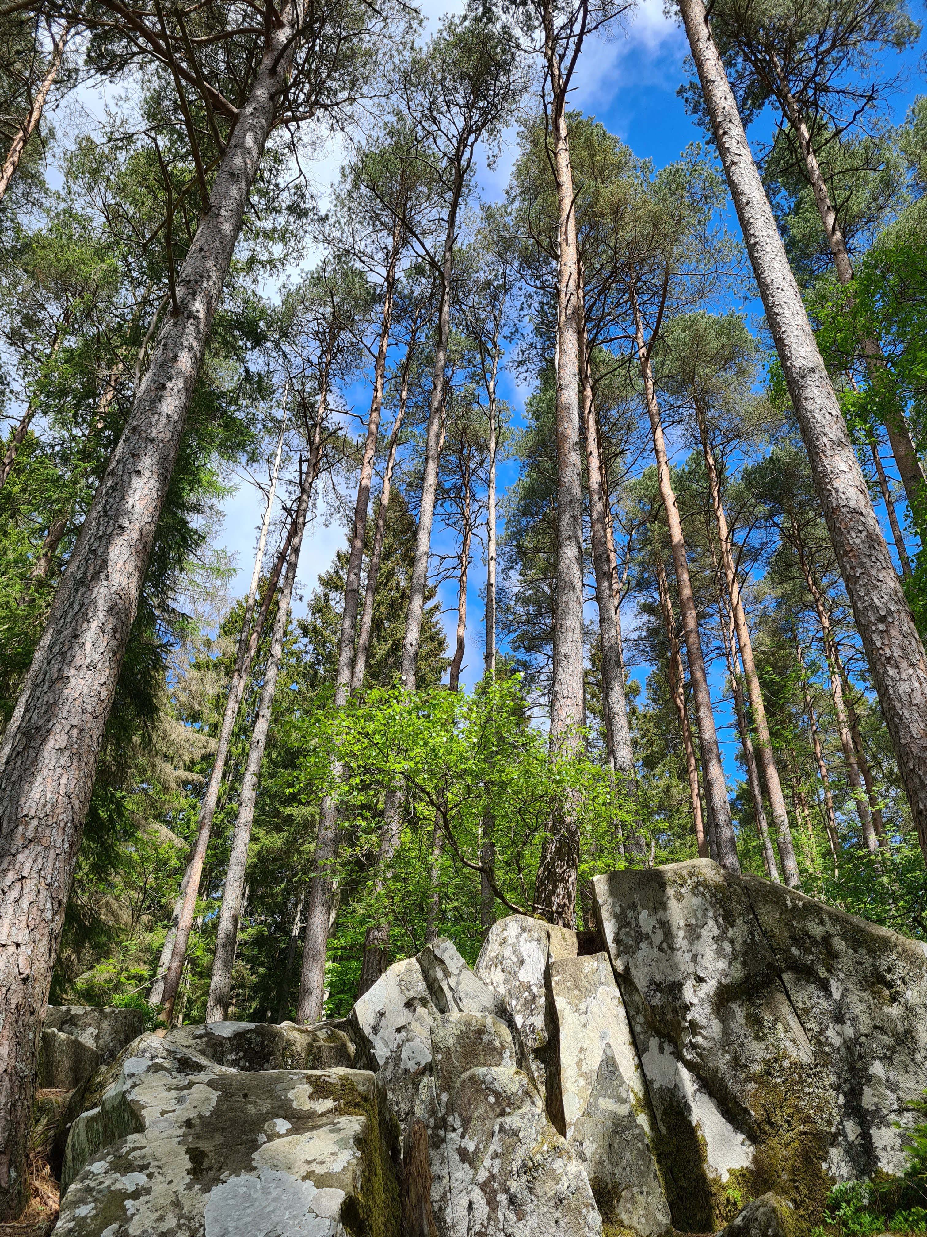
If you cross and follow the path to the right, you eventually find yourself with a perfect view back towards Ossian’s Hall. The hall was constructed in the 1780s to replace a summerhouse. In fact, the entirety of the Hermitage is not natural landscape, but was designed as a pleasure ground for the Dukes of Atholl. Once one is aware, the towering Douglas firs do seem a touch too perfectly planted, and indeed the almost elvish or fairy-like forest is a touch too magical.
The view of the falls is even better from within the hall, though at busy times you may have to wait your turn for the best view, as the viewing balcony allows only about 5 or 6 people comfortably. Beyond the hall, there are several places where you can look back at the hall and bridge. I have seen drone shots of the falls where the drone has flown down the river and under the bridge, something I wish I could do myself!
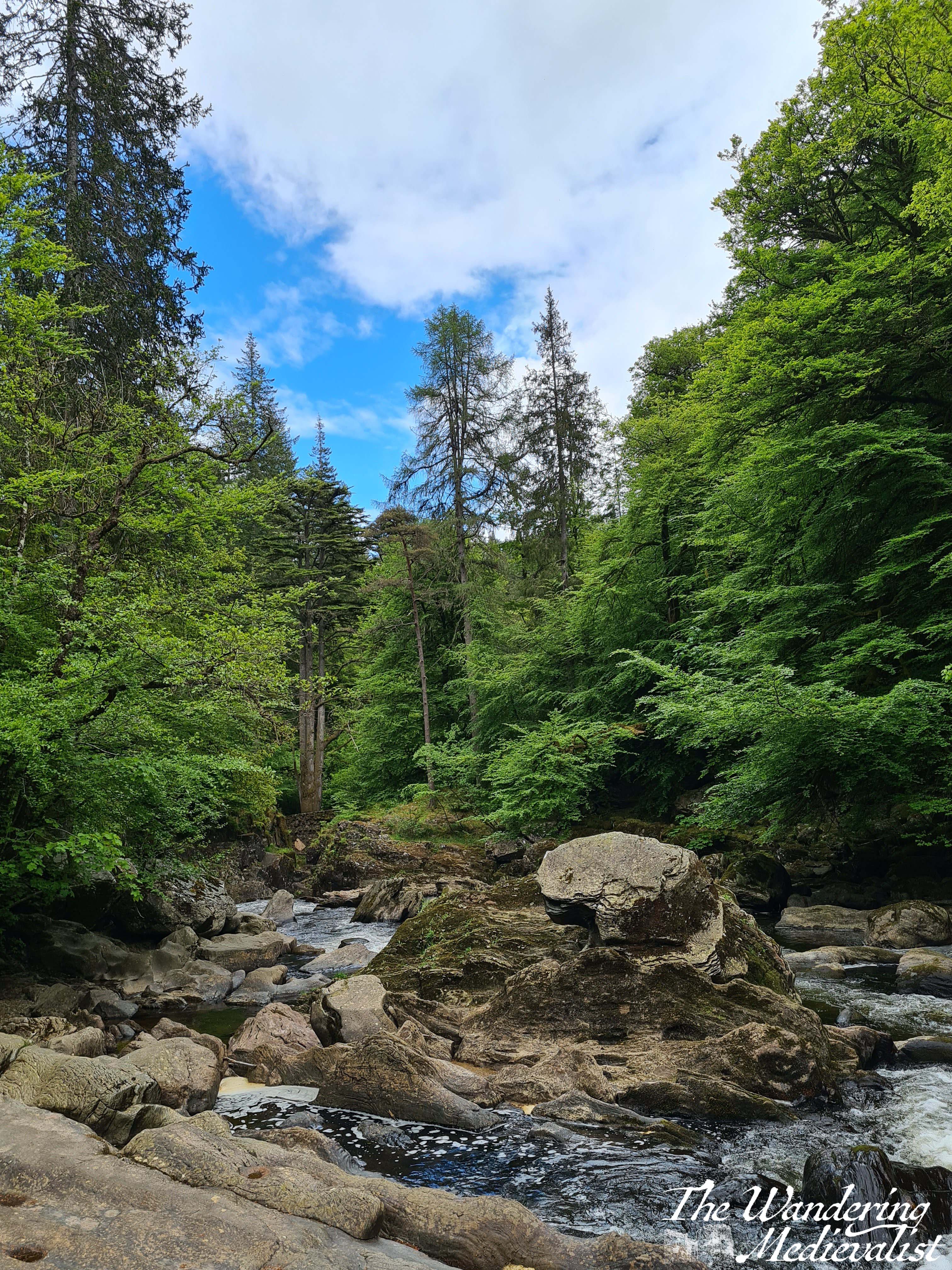
Once you have had your fill of the fantasy land around Ossian’s Hall, you can continue up the path, which starts to gradually ascend as it follows the river. On several occasions I was driven to remark on how much it reminded me of rivers in the White Mountains in New Hampshire – rocky, the water tumbling over the rocks to form peaceful pools and swift rapids, blue sky and trees growing almost out of the riverbank. When hiking with the Step-Count group, we had brought a picnic and found ourselves an ideal picnic spot on some rocks along the river, with views in both directions.
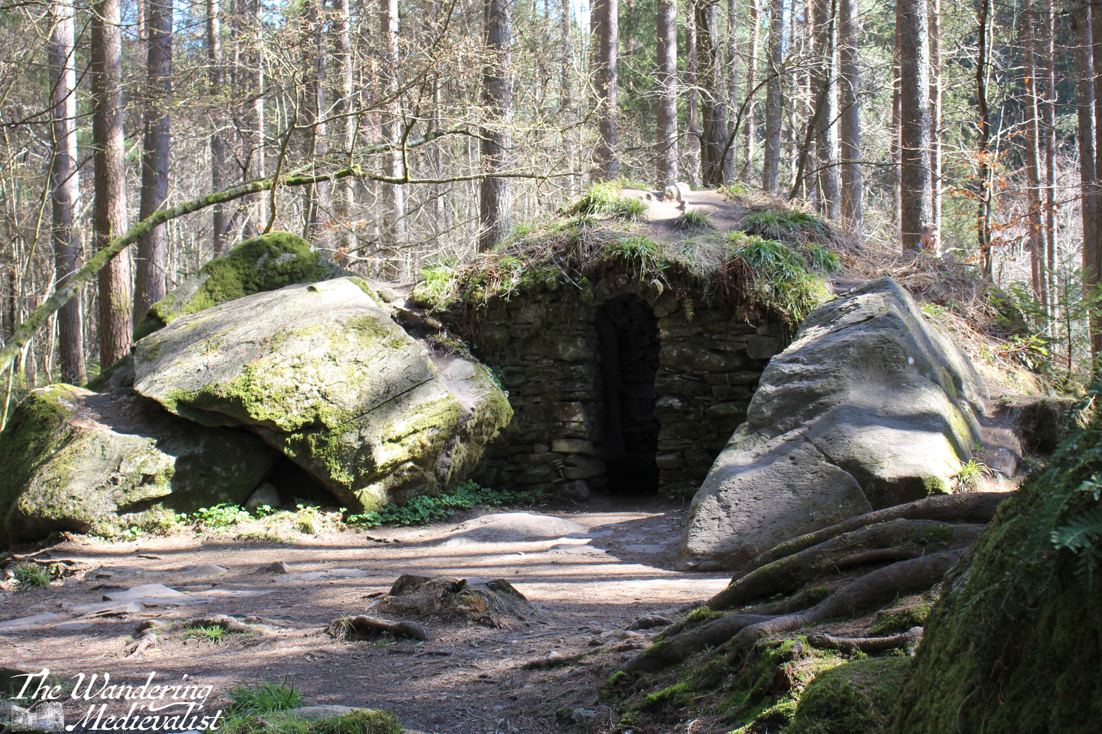
Gradually the path lifts away from the water, as the river sits in a gorge many feet below. There are several side-trips one can take as paths cut closer to the edge of the water (sometimes a steep drop into the gorge) or into the woods to the right. A notable detour is Ossian’s Cave, another constructed portion of the pleasure grounds (called a folly) where, if one is brave, you can duck into the rock construction. It is arguably more pleasant from the outside.
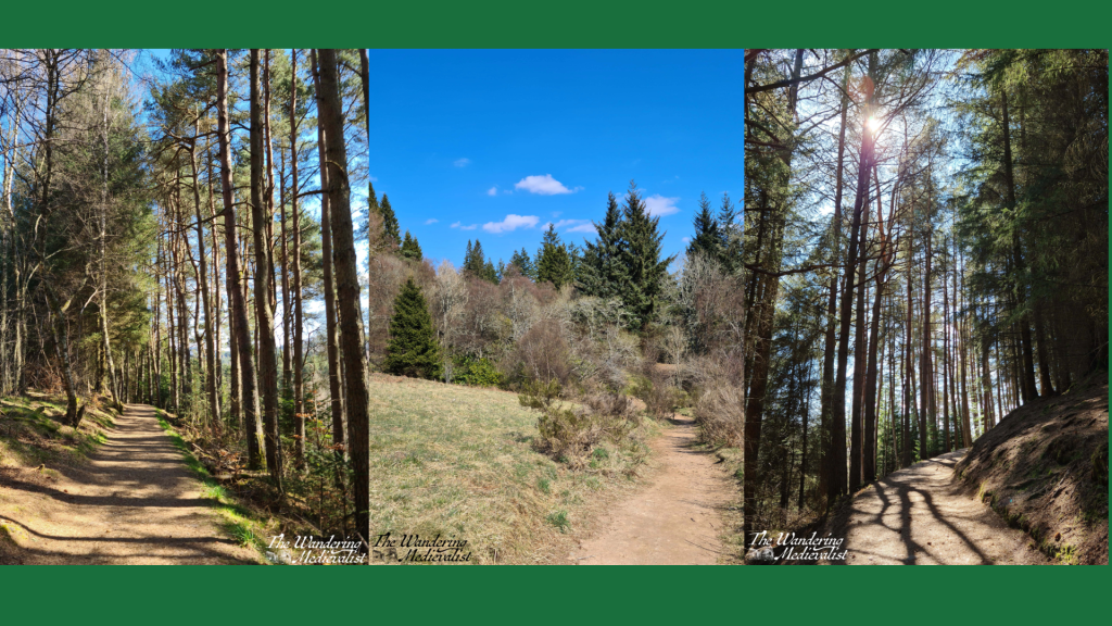
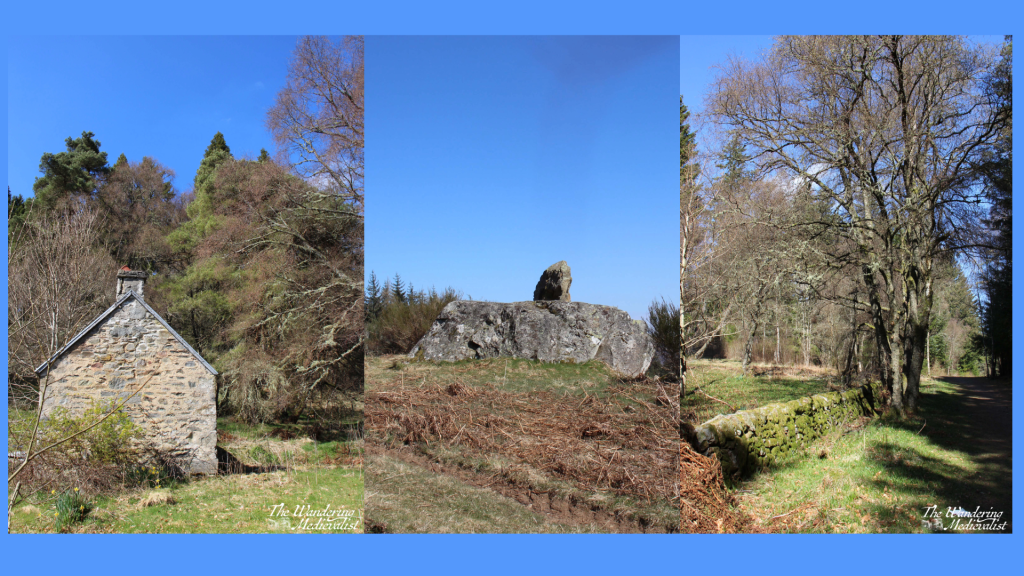
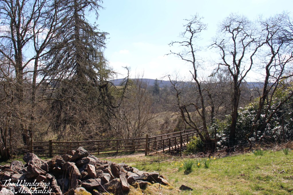
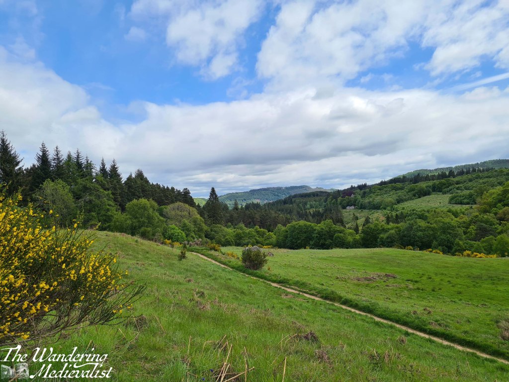
From here the trail continues through varying types of forest as it climbs, and after a slightly steeper ascent through more pines, one reaches a T-junction. Almost immediately ahead is a small stone house that is almost Bob Rossian in its placement amongst the trees, with a stone wall running along the path. It’s a good place to pause in the trees before crossing a small bridge across a burn, into the open. Just beyond a stand of rhododendron is a wide meadow with a grassy hill on one side topped by a rock formation, and gentle slope down on the opposite with views across the hills and valley.
view from the rock formation
If you have had enough walking for the day this is a good spot to catch your breath for a few moments before heading back down towards the car park. If you’re not done yet, it is only about five or ten more minutes to the Rumbling Bridge. You will notice a lone house on the hill above, which I have learned from Google Maps is in fact a small hotel. In the days of the pandemic, it looked quite lonely – in retrospect I imagine the views are spectacular.
Here the road forks again, and you will want to follow the left fork down the hill towards the bridge. This is an active road, so it is worth being careful to listen out for vehicles who may not see you easily. The bridge itself provides views of the river in both directions, as you would expect, and sits almost directly over the falls, so the ground seems to drop away quite swiftly on the downriver side.
If you make your way to the Rumbling Bridge car park, you will find a map similar to the one at the top of this post with plenty more walk options should you wish to keep going. Or, you can do what we did and spend some time climbing on the rocks out into the river, if you are in to such things.
A visit to the Hermitage is highly recommended for anyone who loves a good walk in the woods. The lower section to Ossian’s Hall is manageable for walkers of almost any ability as it is flat and the path well-kept, while the higher section offers a bit of a climb and some beautiful views. The circuit to Rumbling Bridge and back is not particularly long, but can be boggy in places so sturdy shoes are a must. Prior to my last visit I may also have cautioned about more basic comforts but there are now the port-a-loos available as well as the small van, so you can probably even manage without refreshments. That said, there are some perfect picnic spots along the way, so I would recommend bringing something with you. As long, of course, as you are willing to follow the camping rules I recall from the White Mountains – pack it in, pack it out! It is a shame to see litter on the trails, as we did in 2021.
Another small caution is in the driving; when arriving from the south, it is an easy matter to turn left into the Hermitage park or onto the A822 to reach the Rumbling Bridge end. But, coming back out can be a bit of a challenge. Waiting for a break in the traffic so that you can speed across onto the far side of the A9 is not for the timid or indeed the impatient – it can take quite literally 5 minutes to get back out onto the highway and unfortunately I am not aware of anywhere close by that you can turn around further north.
If you have been on a good walk and are interested in another short wander or something more substantial for food and drink, the town of Dunkeld is only a few minutes away and has plenty of options. It’s a charming wee town to walk around and has remains of a cathedral – what’s not to like?
The Queen’s View over Loch Tummel in Perthshire is one of the most famous views in Scotland, and one of the most photographed. It is not hard, when visiting, to see why, though actually getting to the viewpoint can be a bit of a challenge.
Not, I should point out, because it is physically difficult to reach – on the contrary, there is a large car park (not free!) and well-maintained path that leads to the main viewpoint (though occasionally you must fight to the front for the best view). The visitor centre is closed, and have been since the pandemic, but the area roundabout is kept up.
Rather, it is the road to the viewpoint that offers a challenge.
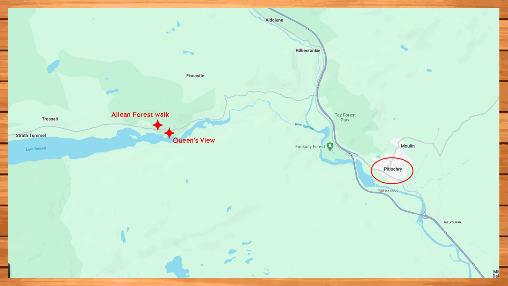
The advantage of Perthshire is that so much of it is just stunning, and easily reachable from Dundee, Edinburgh and Fife. Pitlochry, the nearest town to the Queen’s View, is less that two hours’ drive from Edinburgh or Stirling, and offers oodles of options for accommodation: guesthouses, B&Bs, lower cost hotels, luxury hotels, and a camping and caravan park. Pitlochry is a regularly-used base for exploring the area and only 14 minutes from the Queen’s View.
What is the problem then, you ask?
Simply that the short stretch of road between the A9 and the view is one of the windiest and narrowest that you will find on a two-lane road. Further, you are competing for space not just with other cars, but with large camper vans and coaches that offer tours throughout Scotland.
I have now been on the road twice, once as a passenger and once as a driver, and both times I found myself clinging to the door handle and searching for an alternate route back. (Note, there are alternate routes via the other end of Loch Tummel, but they are also quite narrow and add considerable time to a journey). I feel I should point out that I am making this observation after having explored the Highlands, Skye and Mull, so not without some experience on narrow and winding roads.
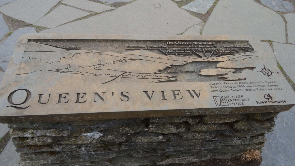
Once you reach the car park, there is a short walk and then the view really is spectacular. When Queen Victoria visited the spot in 1866, she assumed that it was named in honour of her – a view to match her greatness. What no one likely told her at the time was that it was almost certainly named well in advance of her arrival, and for Queen Isabella, wife of Robert the Bruce.
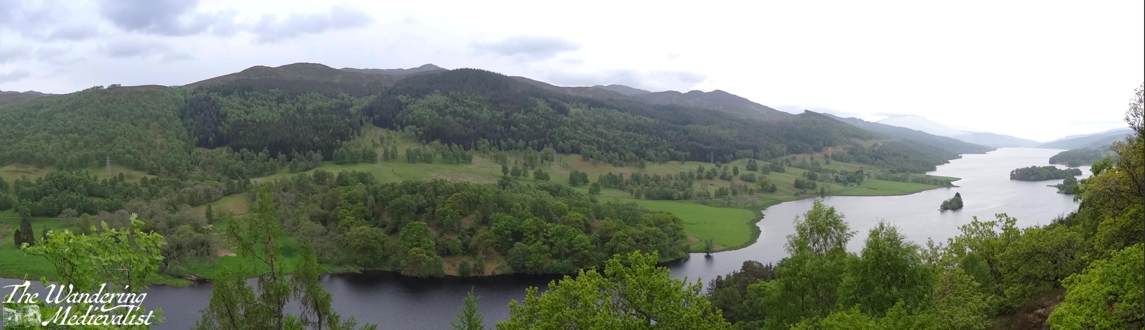
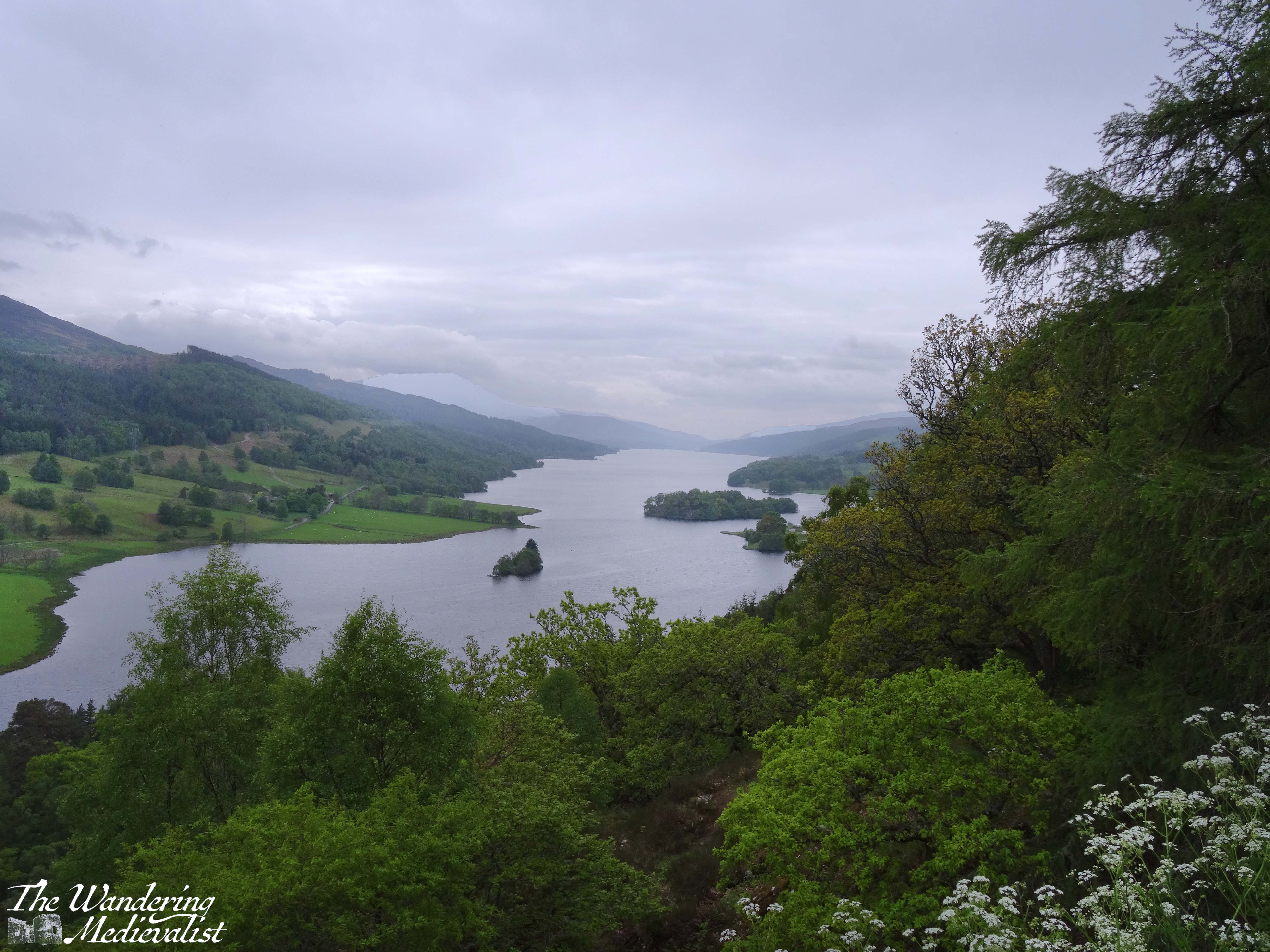
Standing at the viewpoint, you are looking down Loch Tummel, almost due west, with the peak of Schiehallion, one of the more popular hiking mountains in Scotland, in the distance. Even further, one can just make out – on a clear day – the mountains of Glencoe.
As you can see, the view is phenomenal in the sun but just as atmospheric in the cloud and rain; visiting earlier in the year may also mean less foliage growth between you and the water.
If the view has only whetted your appetite for Loch Tummel and the surrounding hills, I highly recommend continuing only minutes along the road to the Allean Forest, where there are two hiking loops you can follow up into the trees.
The car park is sizeable, and there is even a toilet block – warning though that it is a latrine that was far from well kept when I last visited. It was a ‘medieval’-style experience that I could well have done without. My hope is that in the years since the end of the pandemic, the facility has been improved.
Of the two available loops, one is shorter – about an hour – while the other is more like 1.5 to 2 hours in total. Both start off in the same way, climbing away from the car park through the trees and leading to several viewpoints over the mountains and down the loch.
We did this hike in August, so the greenery was lush and at its height, though many of the spring and summer flowers had passed. It was not a hugely challenging hike but did have a decent amount of gradient, and my father decided he wanted to opt for the longer route. This turned out to be an excellent decision, as it took us past the ‘Family Circle’, ruins of an Iron-Age stone wall that enclosed a timber roundhouse.
The appeal of this area of Perthshire clearly runs back at least 2000 years, as the plaque by the circle told us that this area of Scotland features more settlements of this type than almost anywhere else in the country. Excavated in the 1970s, the site shows evidence of being used in more recent times as well, for ironworking and drying corn or grain.
This particularly intrigued me, as family research I have done indicates that at least one branch of Scottish ancestry (don’t all Americans have at least one?) came from the area around Loch Tummel. It is a romantic thought that the area appeals to me because of that family connection – I have always loved the Loch Tummel and Pitlochry area – though it is also stunningly beautiful, as these pictures show. Perhaps it is a bit of both.
Loch Tummel from a bit further down,
While the Queen’s View is a natural tourist draw and invites visitors from all over the world, the hills and forests around Loch Tummel are a recommended addition for walkers and hikers. They are not as challenging as many others, and the views are not as dramatic as further north, but the proximity to Pitlochry makes Loch Tummel a good place to explore. A few recommendations if you are attempting this journey are to ensure your driver is confident and comfortable on narrow roads, and to bring your own snacks and refreshments – the closest place I could find when visiting was Pitlochry, though new locations may have opened up since then.
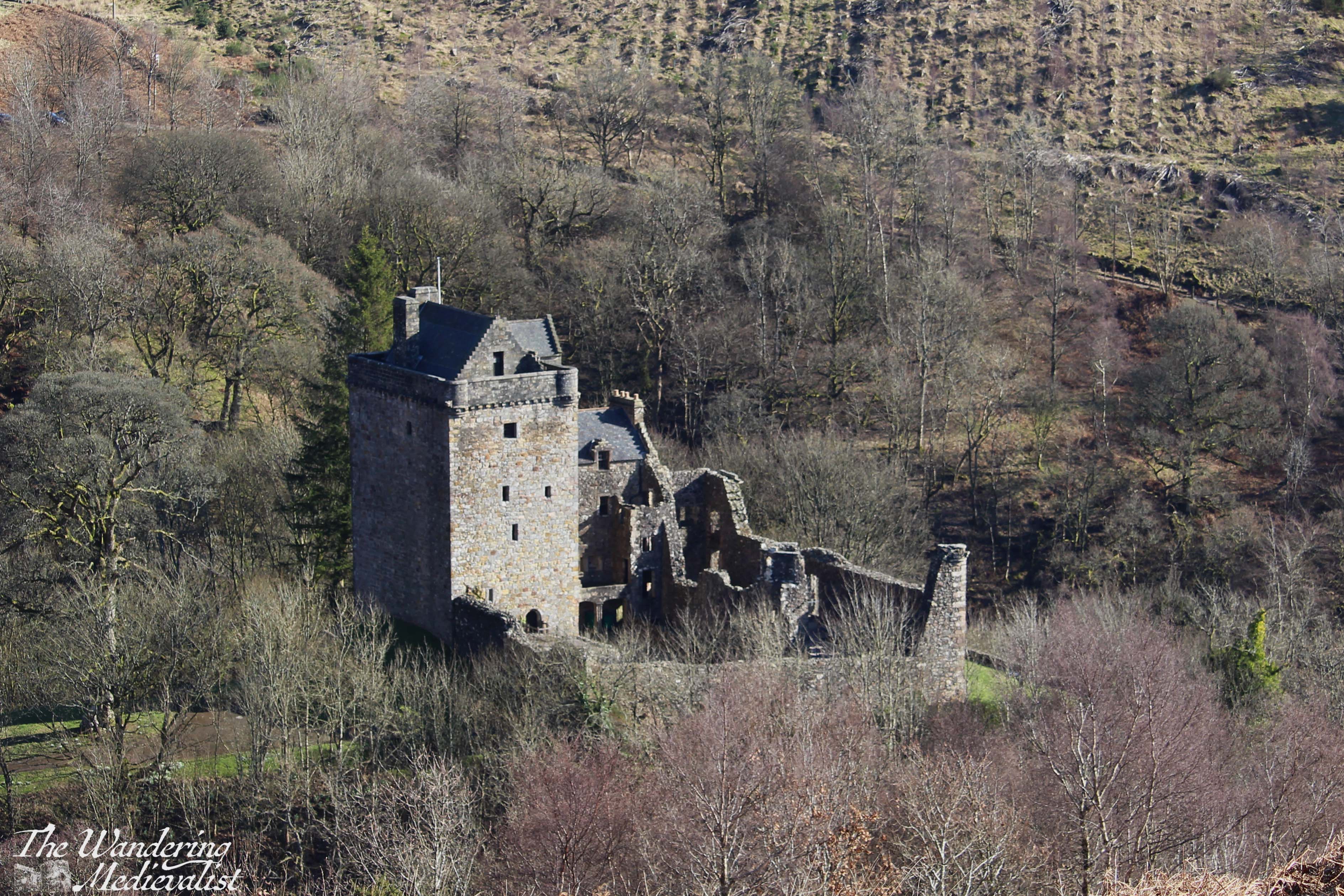
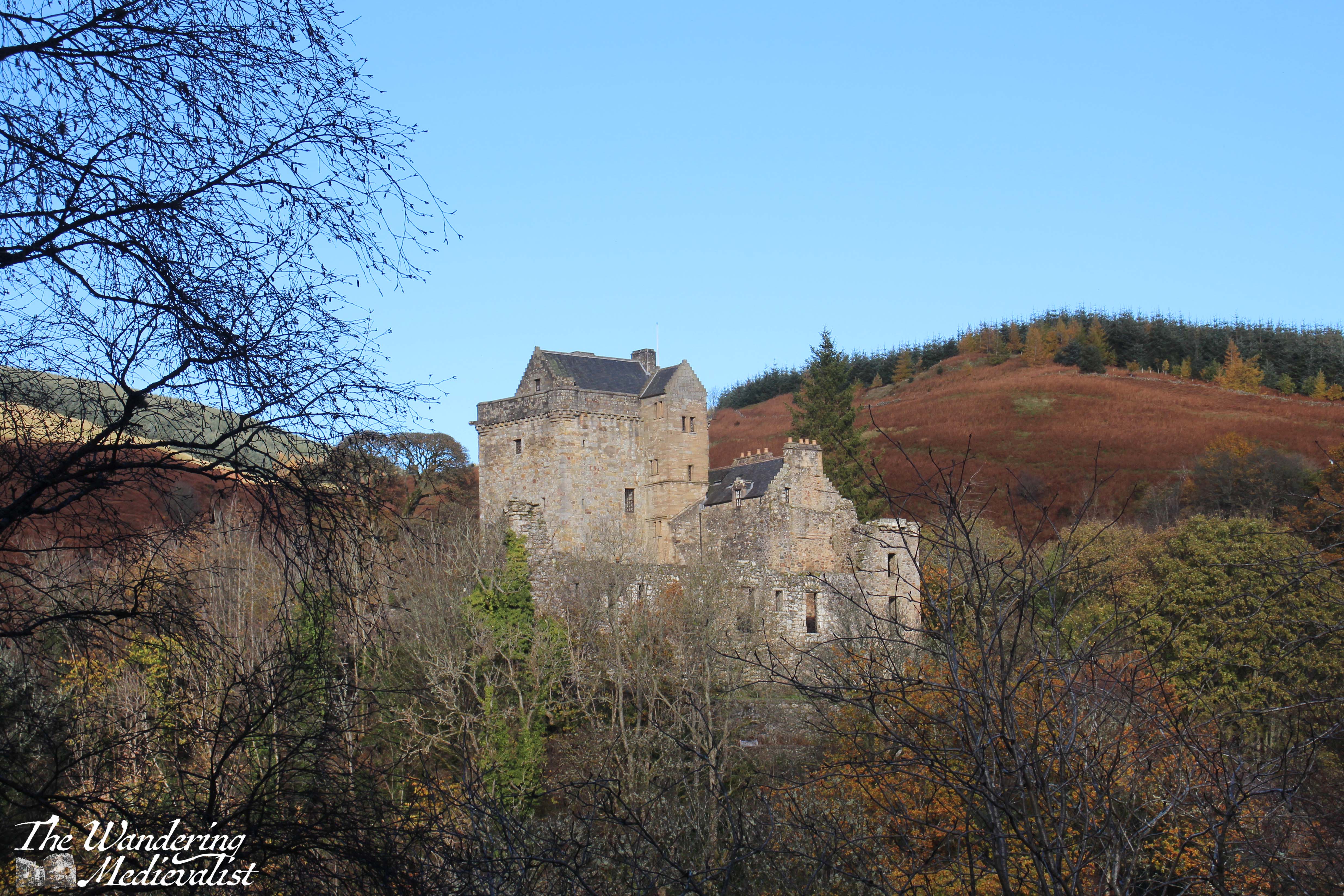
Castle Campbell holds great appeal to me not only for its location but for the memories it evokes. My first visit took place almost entirely by accident. I was staying in Doune in January, in a tiny hotel that had very few guests in the off-season. In the breakfast room one morning, I struck up a conversation with a nearby couple upon realising that they, too, were American. The woman had been involved in a writing course in the Highlands and she and her husband were exploring Scotland a bit before heading back to the US.
As the conversation continued, I was offered a lift back to St Andrews, on the promise that I would provide a personalised tour of the town when we arrived. Along the way, they planned to stop at Castle Campbell – if I wasn’t already convinced, this tipped the scale. Now I suppose there could have been an element of concern here; was this a safe option for a single girl travelling on her own? But something in my gut told me it was just too odd to be anything other than a happy coincidence. A castle-loving American couple chose to stay at the same tiny hotel in Doune, in January?
Fortunately, my gut was correct. They were a lovely couple and we had a great day exploring first Castle Campbell and then St Andrews. And so my first visit to the castle was exterior only, and in the snow. I still recall the drive up the narrow road that eventually reaches a car park – that road has not changed, except that there is likely more traffic on it now.
The approach to the castle is nearly as stunning, meandering through the back roads of Dollar, which is a well-to-do little town with enough old stone houses and charming gardens to make anyone drool. The road is single-track with passing places, and if one is lucky, one can make it most of the way up before encountering another vehicle. With a hill on one side and the gorge of Dollar Glen on the other, the road is harrowing to say the least. I would certainly recommend going either on a week day out of school holidays, or first thing on a Saturday, before the tourists have found their way there (locals, I find, tend to walk up through the glen).
If you can make it up past the larger car park to the one at the top of the road, and if you are lucky enough to find a parking spot, it is worth every moment of wheel-clenching fear. (Note, if you can’t manage a spot there, the larger car park is still a good option though requires hiking the last quarter mile or so up the hill along the road. Great view!)
Once you have parked in the upper lot, you are still a good 5 to 10 minutes on foot from the castle, though there are tantalising glimpses of it through the trees. There is a metal farm gate that keeps the sheep inside, and on the other side you will find a sign informing you of the castle history, as well as that of the nearby Tower Trail of medieval tower houses throughout Clackmannanshire.
Here the path diverges – one branch leads straight ahead of you, heading steeply down-hill, while another leads up to the right. I would recommend, in the first instance, making your way up the hill a few hundred feet or so until you can look back over the castle, glen, and the flat land beyond. You can then head back to the main track, which is a steep decline until you reach the burn below.
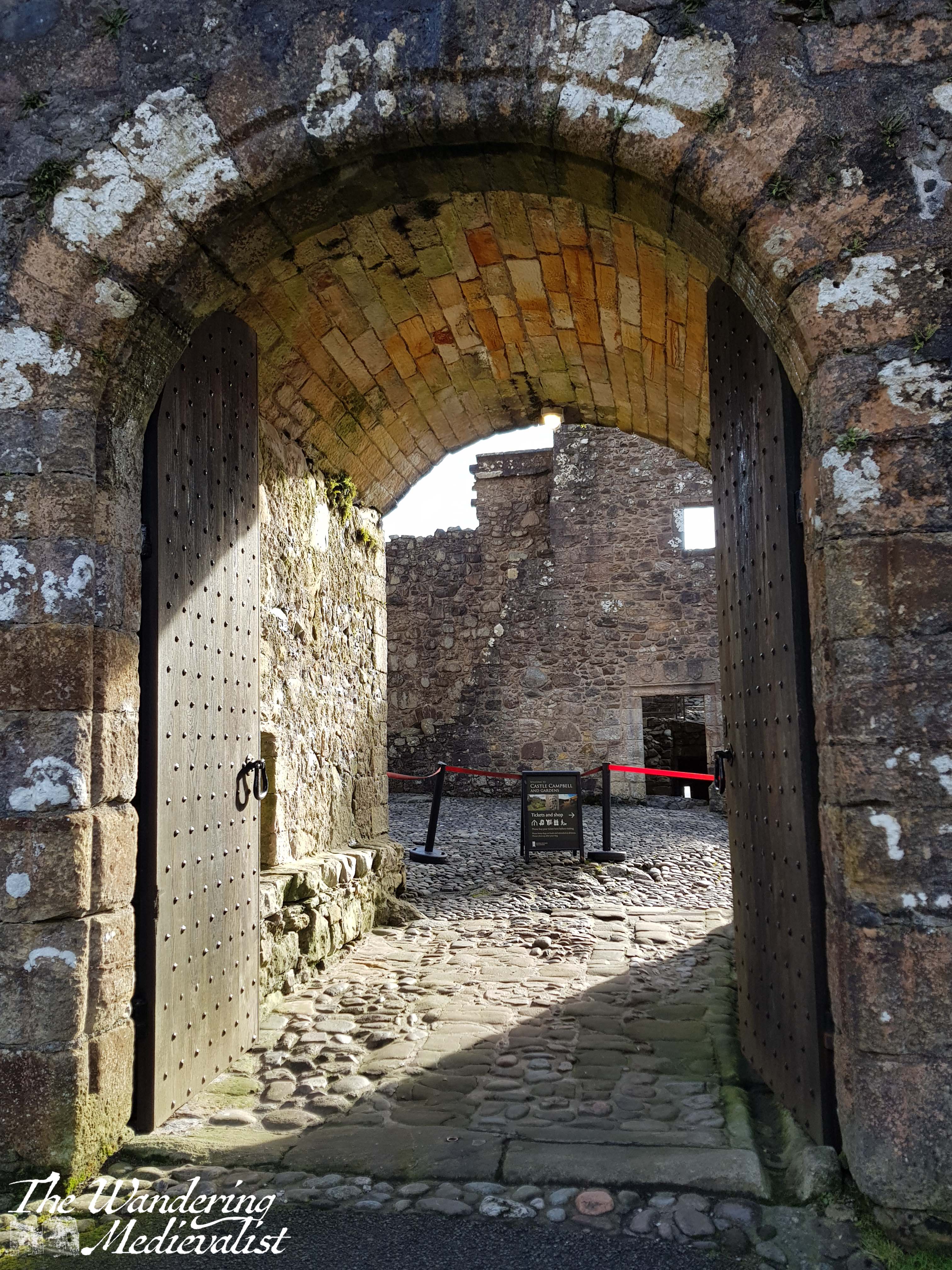
At the burn you can really see the castle rising out of the foliage, and so it gives one the energy to keep moving. Another up and down brings you to the main castle gate, which was closed for much of lockdown and only re-opened in April 2024. If you are feeling energetic, you can hike up behind the castle and follow a path into the hills, which I did just long enough to get another excellent picture or two; this is also the path to take if you wish to climb to the top of Bank Hill.
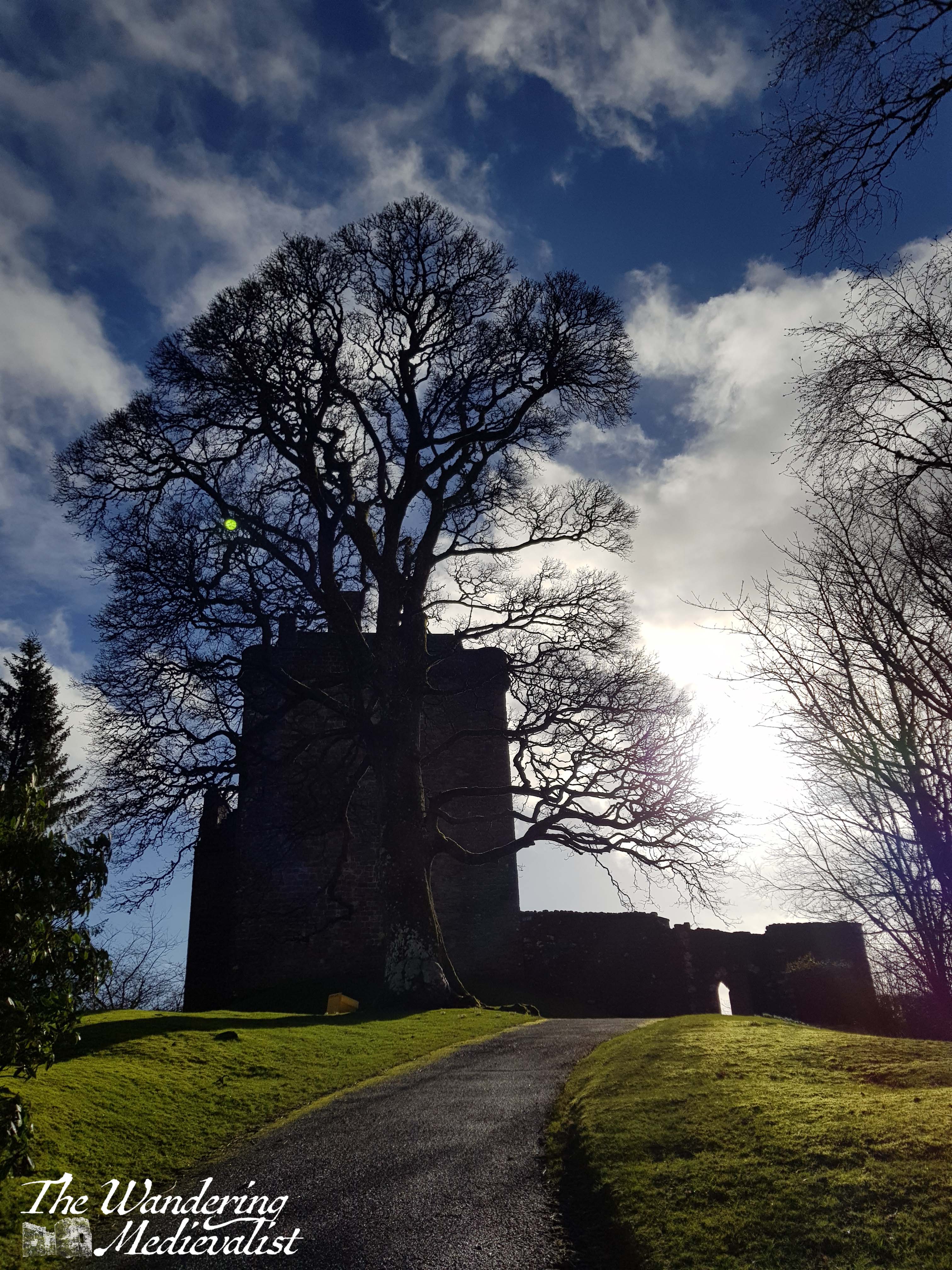
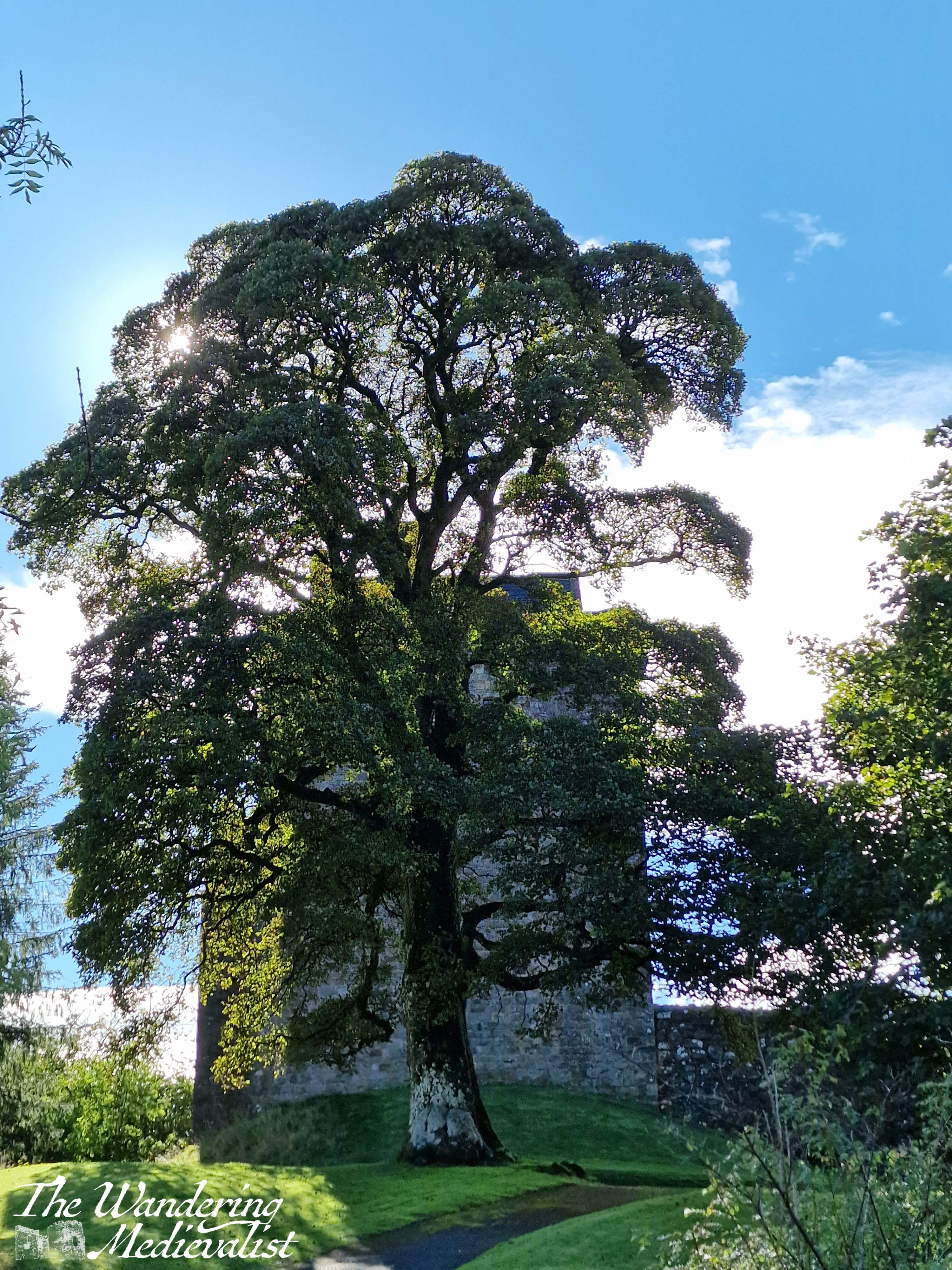
If your goal, like mine, includes seeing inside the castle, you need only climb one more short path to reach the main gate, which is set into the castle curtain wall, next to the imposing tower keep. The beautiful tree standing immediately outside makes for a stunning backdrop to pictures, too.
When I last visited, I was the second person through the gate when they opened in the morning, after an equally eager Eastern European tourist. As they so often are, the two gents running the castle for the day were friendly, helpful and knowledgeable, and I had a good long chat to them both about medieval history in general. There is no question that castle stewards appreciate a visiting medievalist!
Castle Campbell, or Castle Gloom as it was known at its inception, dates from the early 1400s, though the benefits of its strategic location suggest it may have been fortified well before that time. One needs only observe the steep hills and deep ravines on either side – in one runs the Burn of Sorrow, the other the Burn of Care – to realise that it would not have been attacked without serious effort, and of course the views make it ideal for watching movements across the flat land below.
First built for the Stewarts of Lorn, the castle transferred to the 1st Earl of Campbell in the late 15th century, and much of it was rebuilt at this time after it suffered a fire and destruction by the Stewarts. By the late Middle Ages, the Campbells had risen to become one of the most powerful clans in the western Highlands, not in part due to their allying with Robert the Bruce during the Wars of Independence.
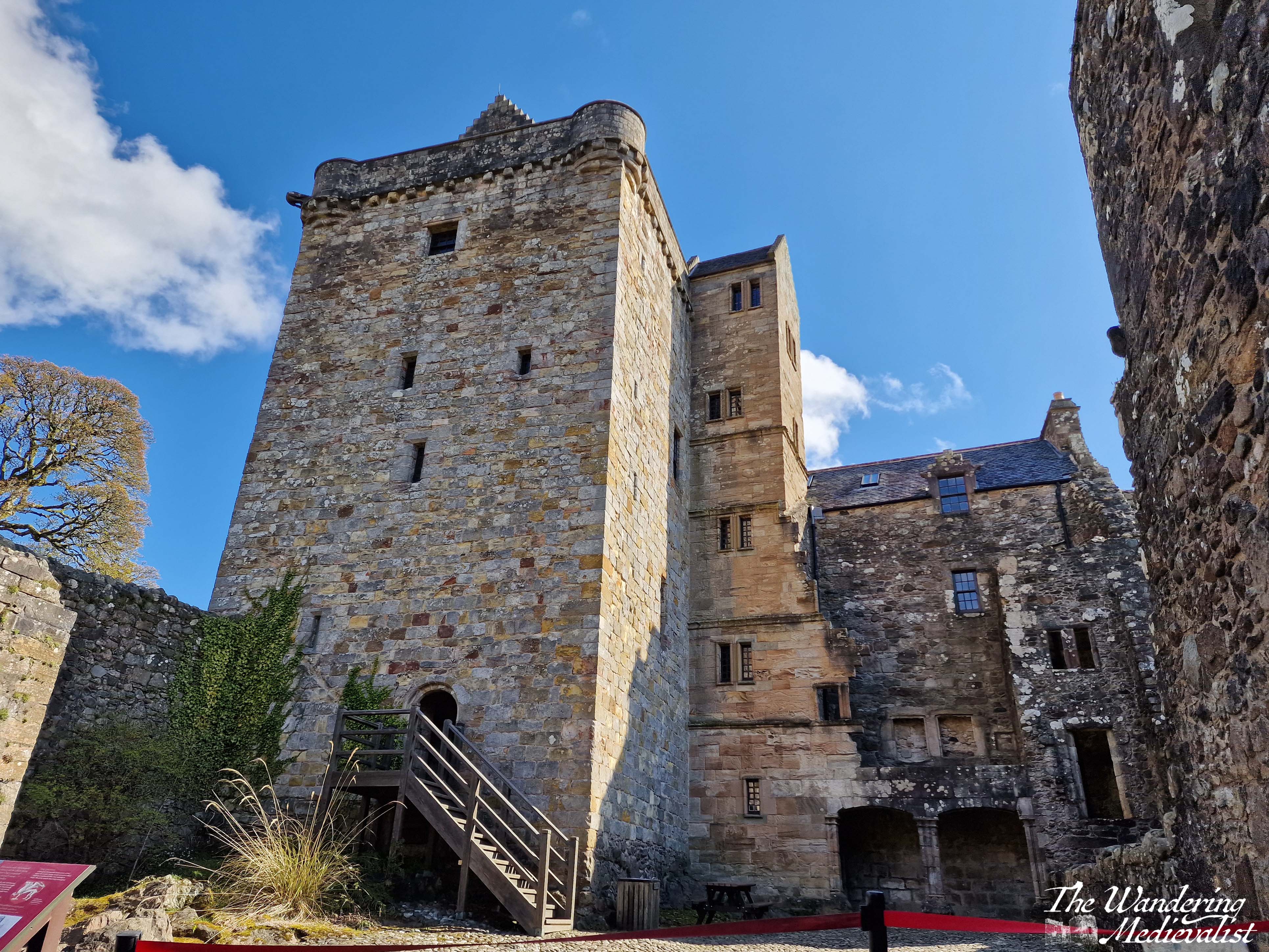
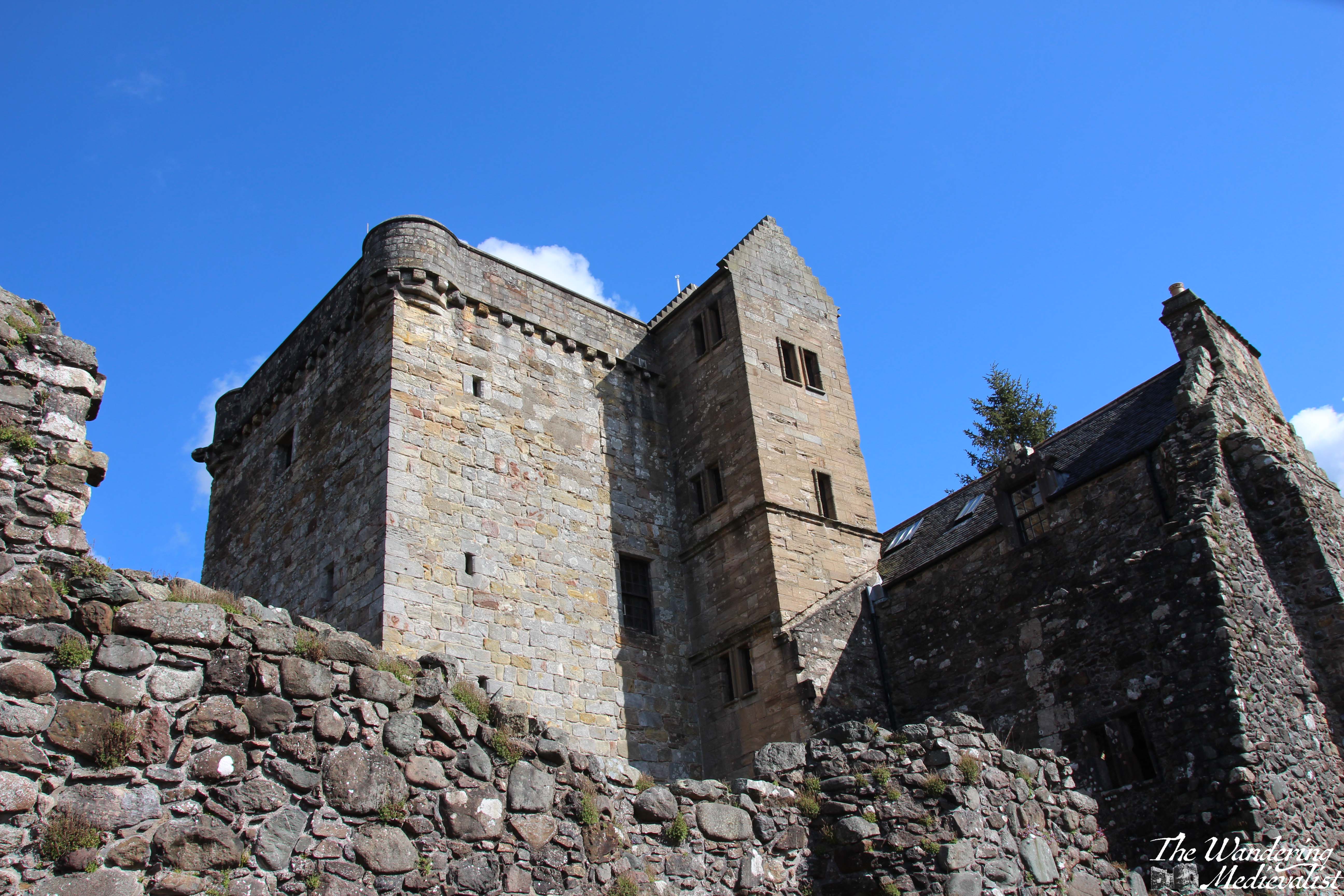
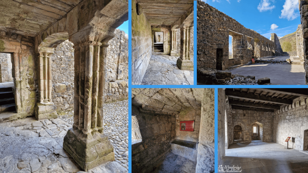
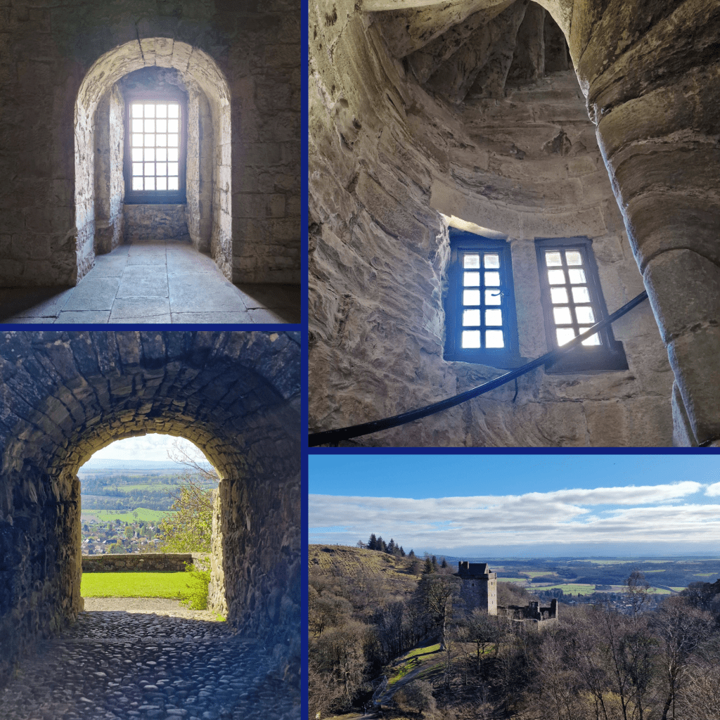
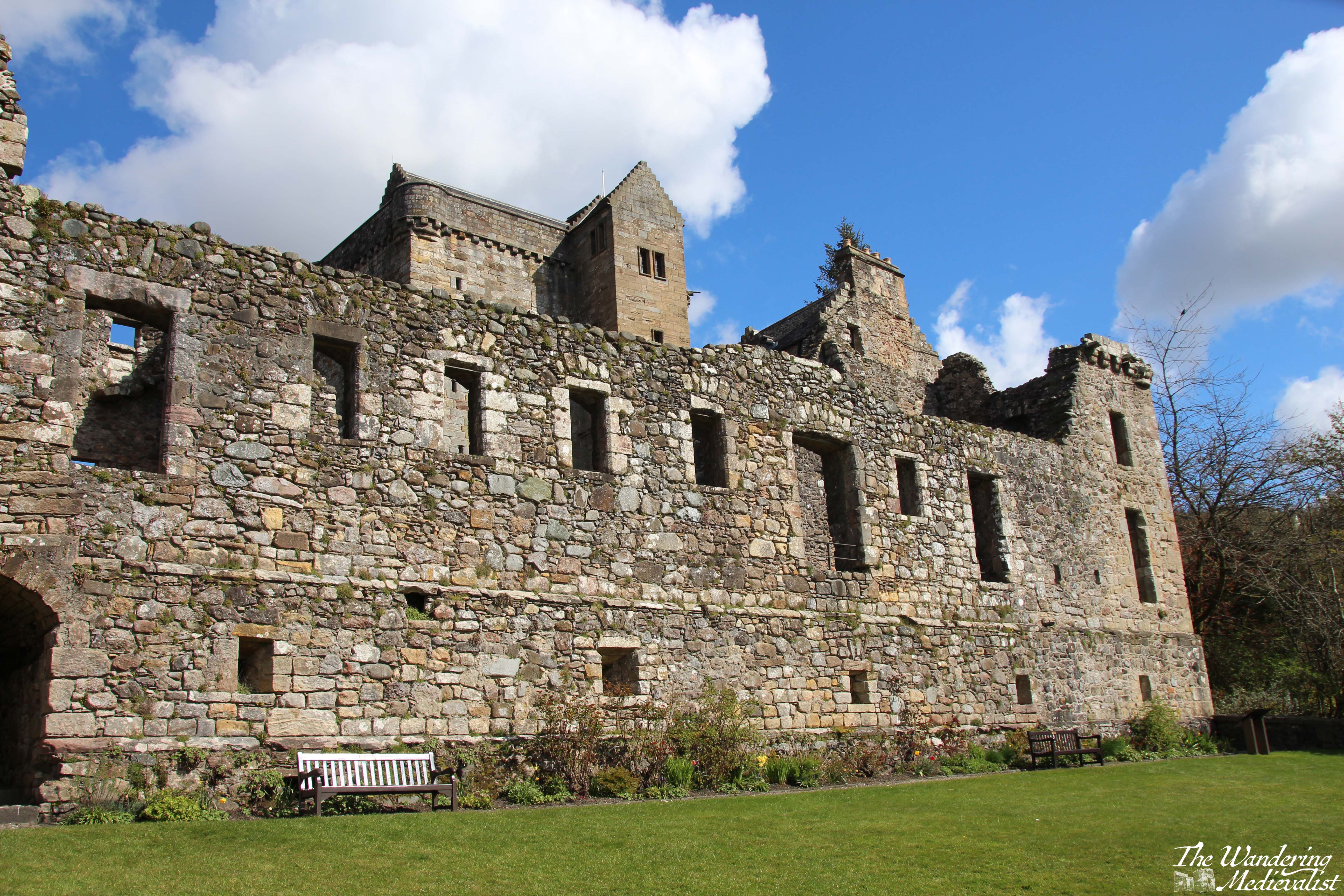
The keep and inner courtyard are still in excellent condition, and the keep is fully enclosed and can be explored by several spiral staircases. Some unique features include the loggia below, several latrines, a prison, and the well-restored chambers with window alcoves and fireplaces evident. On the first floor of the tower, there is a display on the castle and a diorama of what it may have looked like in its heyday, complete with formal gardens.
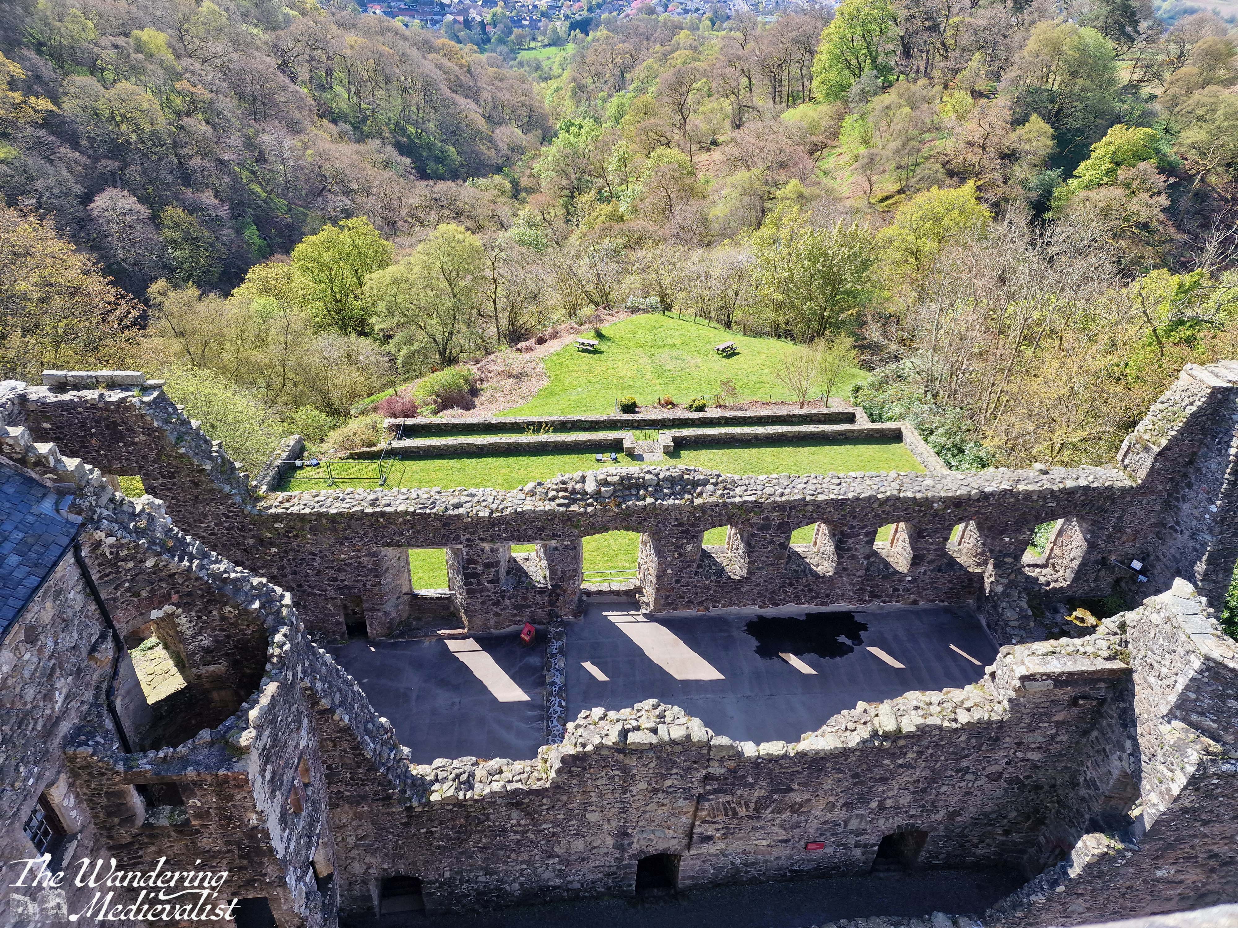
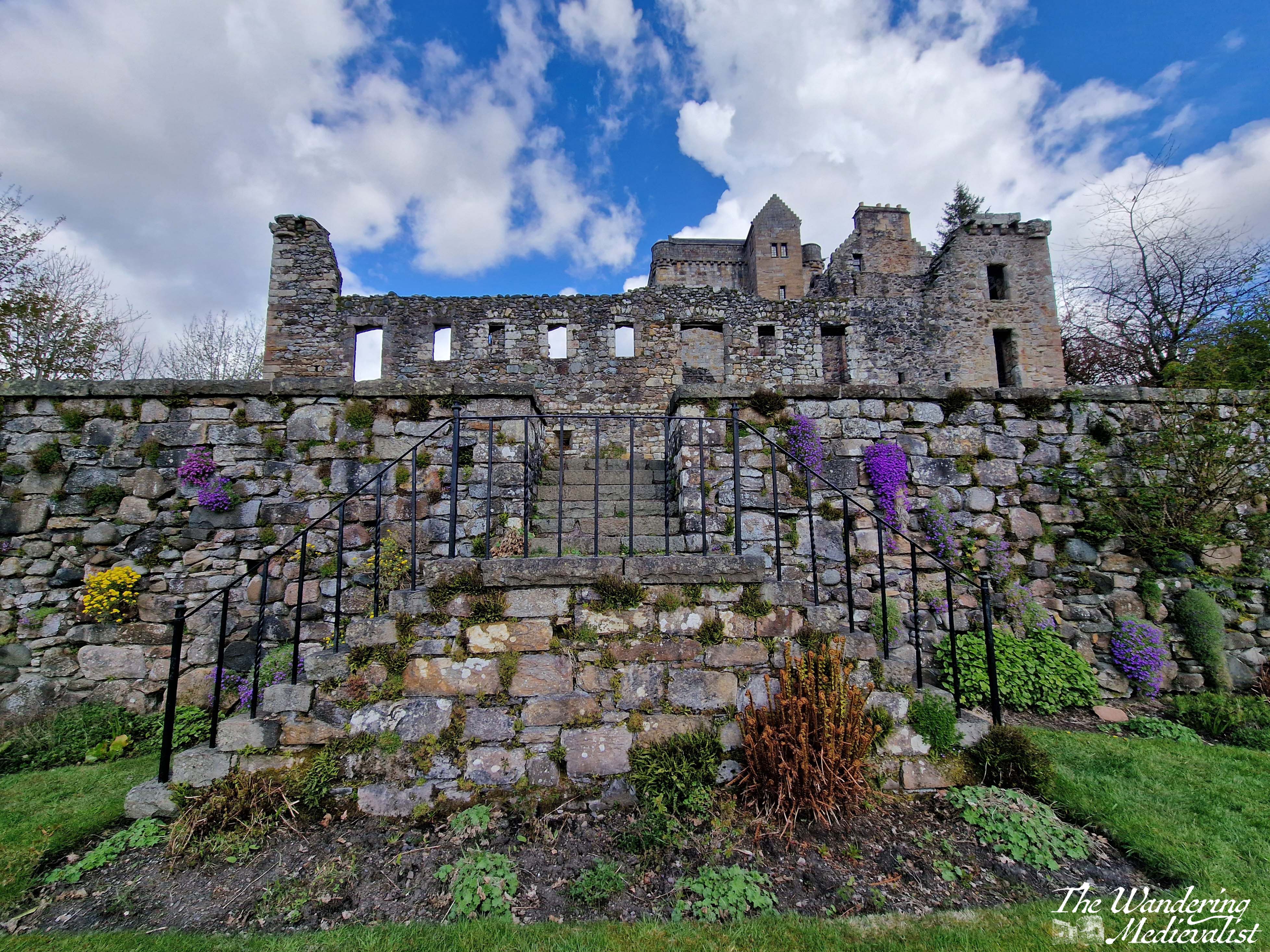
It was the second earl who built the south range of apartments – now mostly ruined – as well as the terraced garden below the castle. There is evidence of the architectural style being influenced by the royal castle at Stirling – certainly the castle was designed to demonstrate the wealth and power of the Campbells. In the 1450s and 60s, the earls were a vital part of the royal court, and used Castle Gloom as a stronghold and residence. In 1488, the earl petitioned King James IV to change the name of the castle to Campbell. Not long after, the earl would die alongside his king at Flodden, in 1513.
The loggia which can be seen in the pictures above – beautiful carved columns that stand out as unusual in Scottish castles – was likely added in the late 16th century, mirroring a style seen at the Bishop of St Andrews’ castle. Indeed, while Castle Campbell does not cover a great deal of ground, it includes all the features of castles – intact or partially ruined – that one might expect to see. There are bed chambers, the great hall, foot-worn spiral staircases, cellars for storage, and great recessed windows cut into the walls with which I am always fascinated.
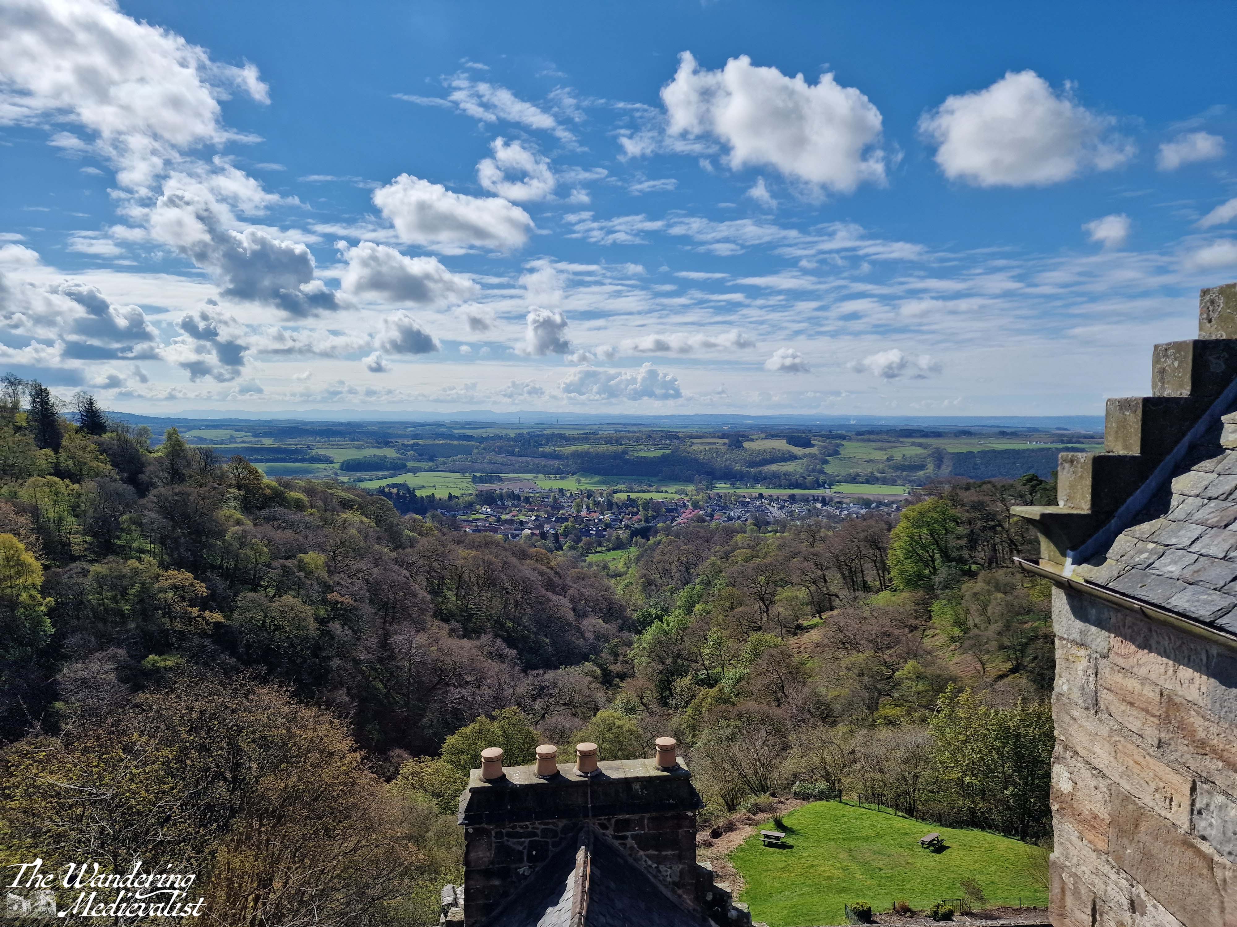
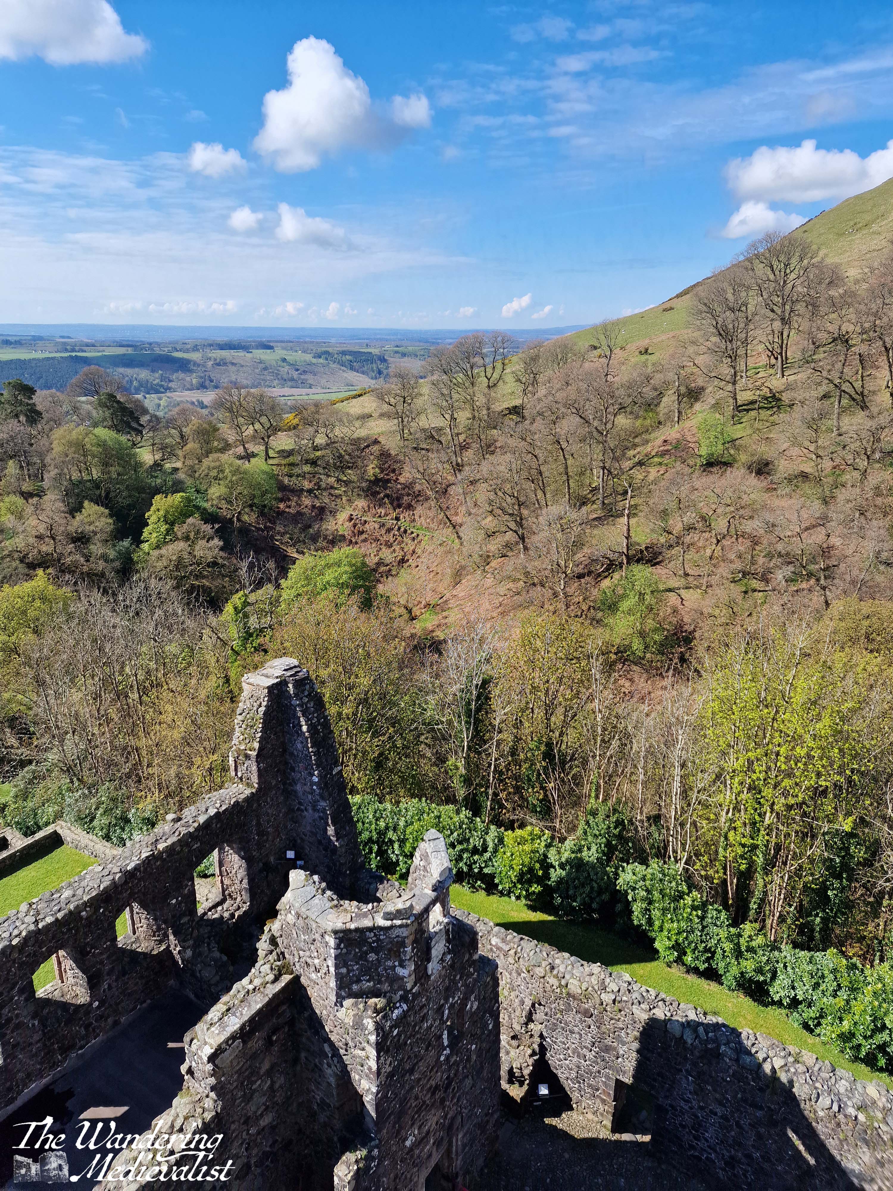
You can climb to the very top of the castle to look out over the countryside, and enjoy the slightly dizzying view down towards the gardens. As one not overly fond of heights, I required a few deep breaths before I ventured to the edge of the parapet. The views are incredible; if you look north the hills disappear into the skyline, if you look south you can see all the way to the edge of the Firth of Forth and the industrial smoke stacks.
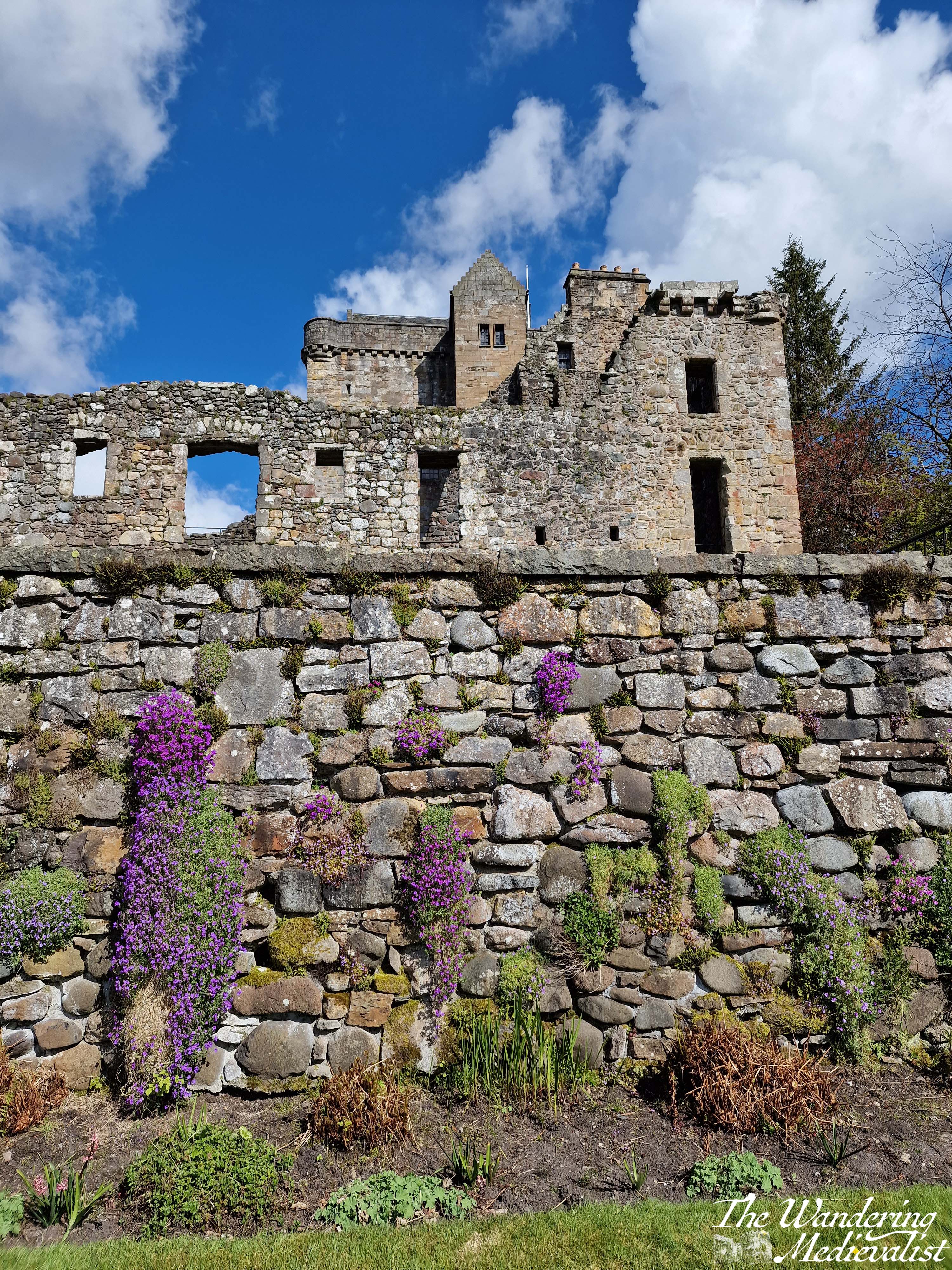
The newer parts of the castle, which are also those most in ruin, include two ways to get to the garden; one is out the side door, but the other is through a stone tunnel that emerges onto a grassy bank. The lower garden wall was all in purple when I last visited, and boasted views back up towards the main facade of the great hall, and the tower.
It is easy to imagine well-dressed lords and ladies parading around this terrace, perhaps playing a lawn game, enjoying the flowers and the views. According to the records, the castle saw several important visitors in its day, including (of course) Mary Queen of Scots, who stayed at Castle Campbell in January 1563, and the Protestant reformer, John Knox, who was favoured by the earls.
The Protestant leanings of the earls would lead to the eventual abandonment of the castle; Campbell had crowned King Charles II at Scone, but abruptly switched sides after Oliver Cromwell’s defeat of the Scots at Dunbar in 1650. The castle was used to garrison English soldiers in the early 1650s, and it was badly damaged and burned by the Scots in July 1654. The return of Charles II to the throne in 1661 saw the eldest Campbell executed for treason; his son was restored to the earldom but chose to reside in Stirling and built a house for himself beside Stirling Castle – Argyll’s Lodging.
Over the subsequent few centuries, the area around Dollar became well-known for its beauty, and there is to this day a gorgeous – if at times challenging – trail that can lead you from the town of Dollar, up one side of the glen to the castle, and down the other side (though the top part of the Burn of Care side has been closed for some time due to trail damage). The hike is steep in places, but offers yet more unique views back towards the castle.
I am sure I will write more about the walk in Dollar Glen at another point, but suffice it to say, there is something moving about the castle ruin and the nearby hills.
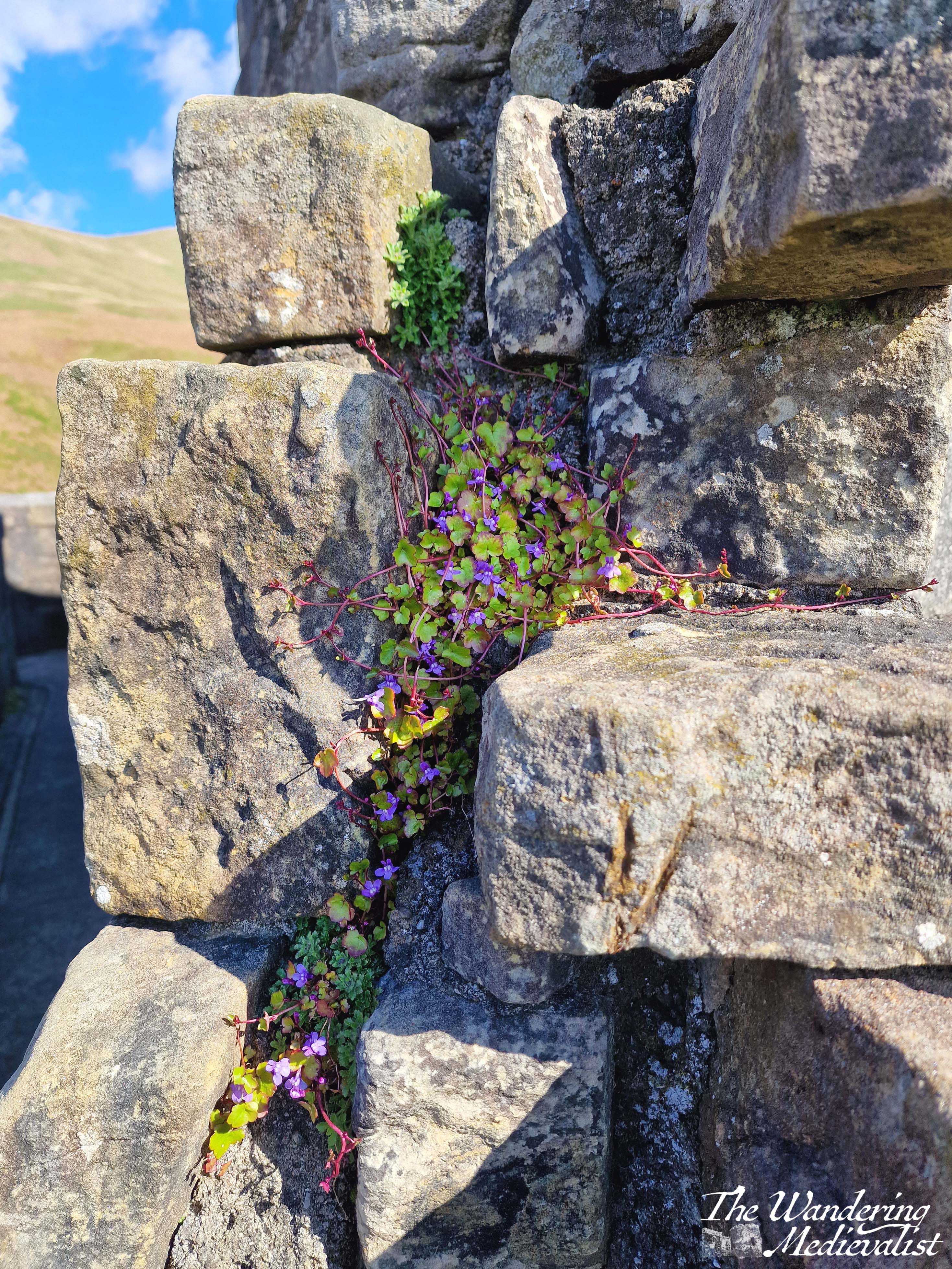
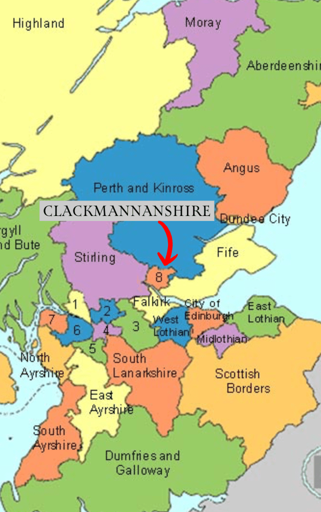
While Clackmannanshire (Britain’s smallest county) is very much not the Highlands, it offers a very small taste of what one will see further north: sheep, hillsides covered in grass and gorse and heather, steep-sided ravines through which rivers rush and create waterfalls and gorges. Even though I have visited several times, it is a castle and an area I can never get tired of seeing, whether it is to roam the halls or find adventure in the hills and trails behind it.
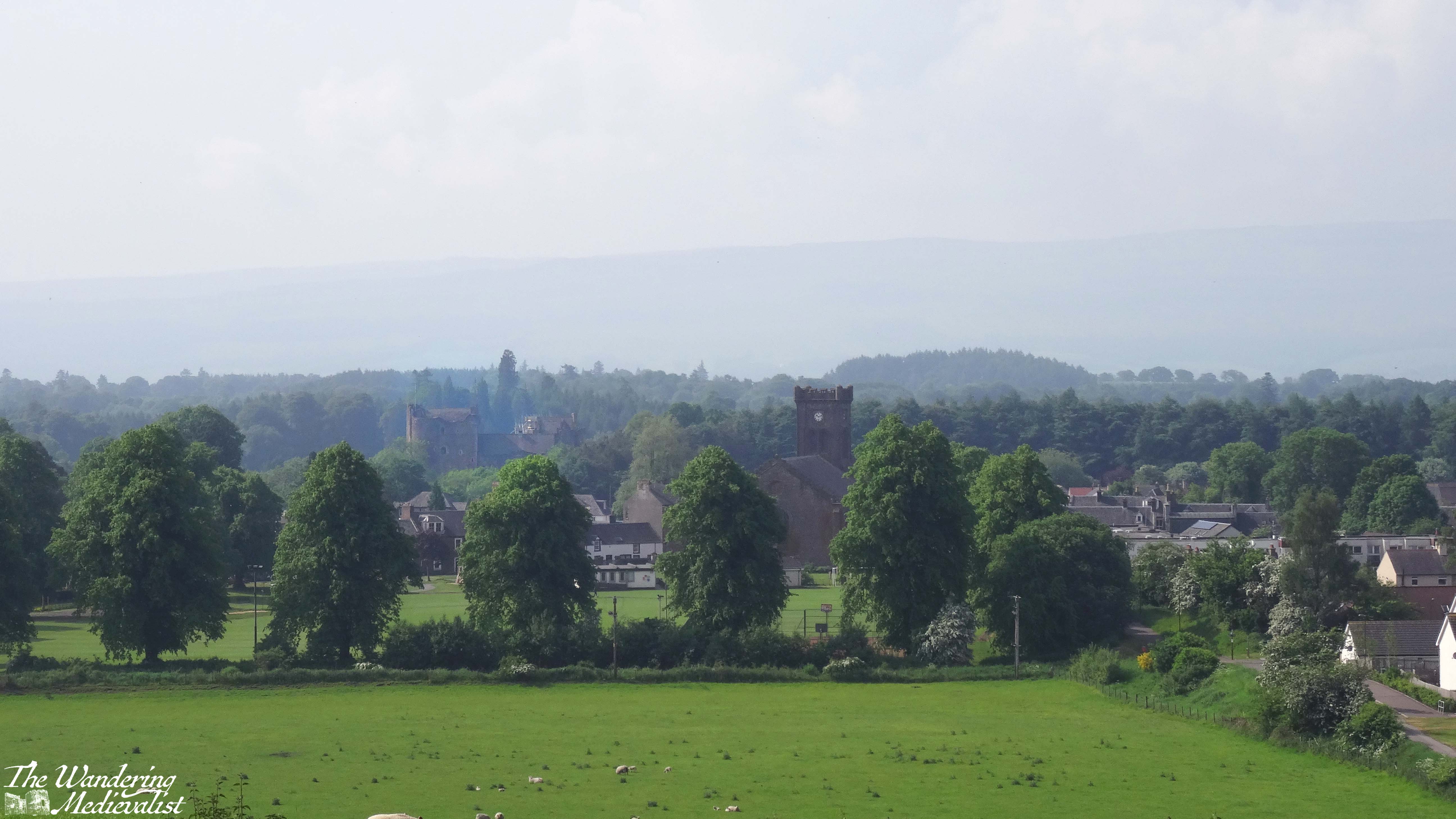
Several years ago, I took myself away for a few nights on a mini writing retreat. I chose as my destination somewhere out of the way and yet relatively easy to reach by public transport (though not on a Sunday as I had forgotten): Doune. I had opted for the same destination in January of my final year of university, when everyone else had exams and I did not. I’ve already written about my exploration of the fabulous castle, but as I discovered, Doune has plenty more to offer in the way of countryside walks and a charming village with lovely gardens.
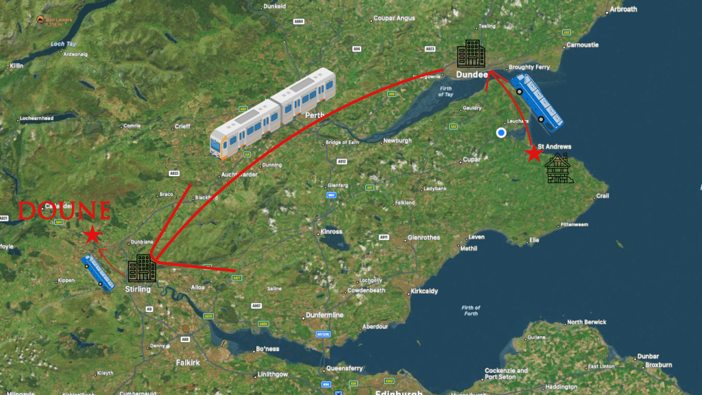
My journey from St Andrews to Doune involved a bus to Dundee train station, train to Stirling, and then transfer to another local bus to Doune.
I reserved myself a nice room with a bathtub and plenty of space to spread out and write. The hotel was the same I had stayed at more than ten years before and was a touch more run down than I remembered (the food also not quite as good) but it was in easy walking distance of the bus stop. Aside from one evening when we were treated to a typical Scottish summer downpour, the weather was excellent – sunny and hot, at least for Scotland in summer.
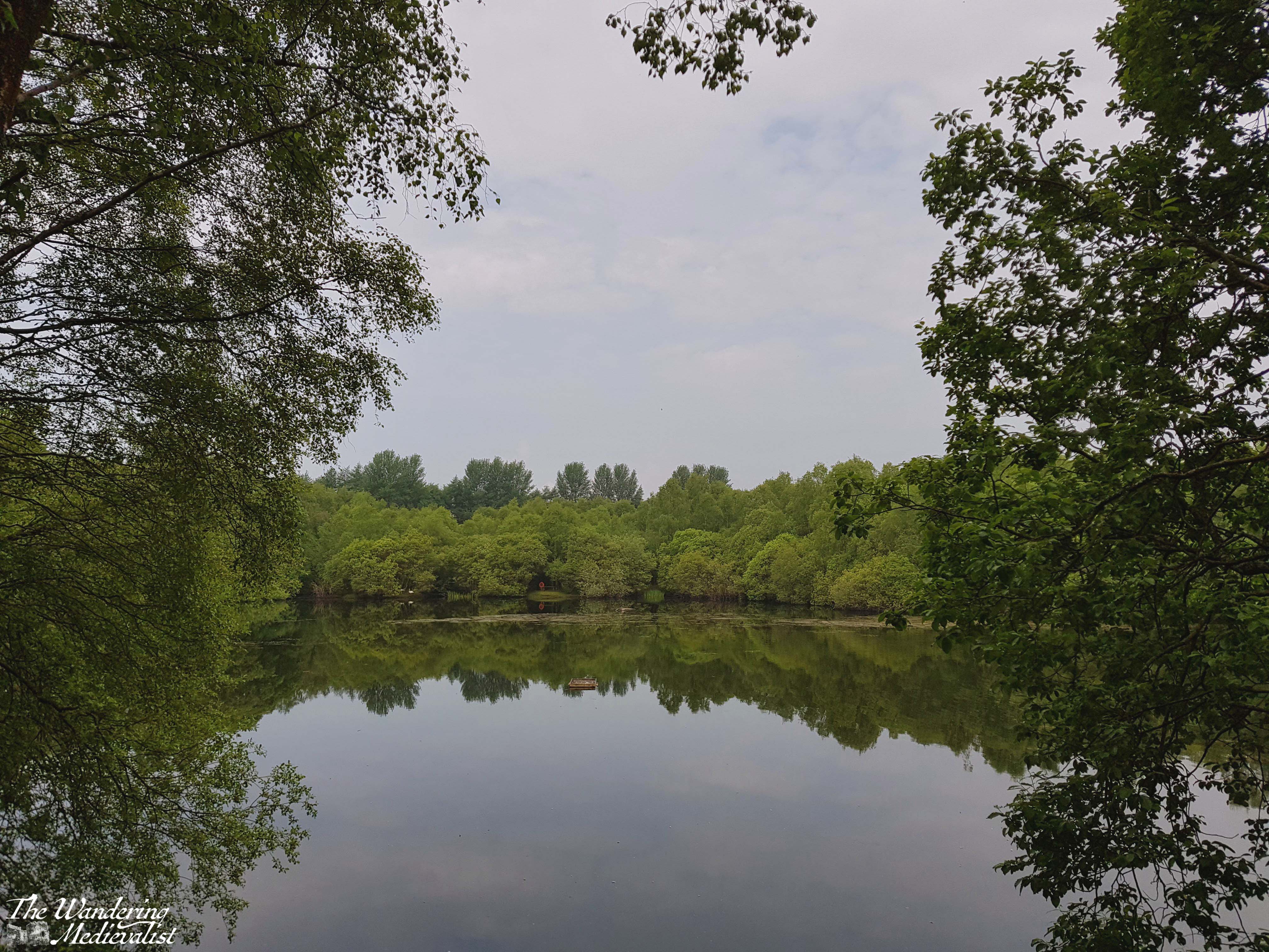
Rather than race for the castle, which was undergoing renovations, I planned myself a long walk which essentially circumnavigated the town centre, starting at Doune Ponds on the north-west edge of town. I was advised by the kind woman at the hotel reception to make sure I had midge spray (something we don’t often have to bother with by the coast) and so I made my way via the pharmacy in town. The reliable spray they said was the outrageously-priced ‘Smidge’ brand, but was worth the spend.
I cannot for the life of me recall where I got the instructions for my walk, which were to start at the conservation land area of the ponds, where there are numerous paths to take.
I attempted to follow the poorly-worded route for my walk and managed to find one of several paths up out of the pond area, through large gatherings of gorse bushes. I have a love-hate relationship with gorse, which is a beautiful bright yellow harbinger of spring, but to which I am quite allergic. So I climbed quickly up to where my route joined a farm road. I have been unable to re-create the route I took at this point though I believe I may have ended up partly on the Commonty Walk. The path and my instructions were a bit haphazard, but it was a beautiful warm day and I had water and snacks so I just kept walking. There was a lovely section of the trail through a wooded area with sheep fields to my right, and looking down over the town.
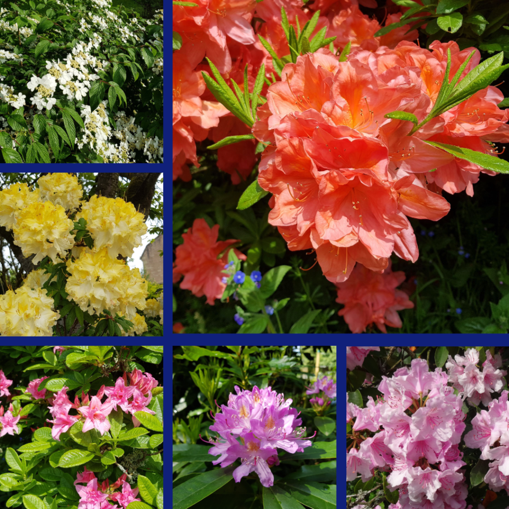
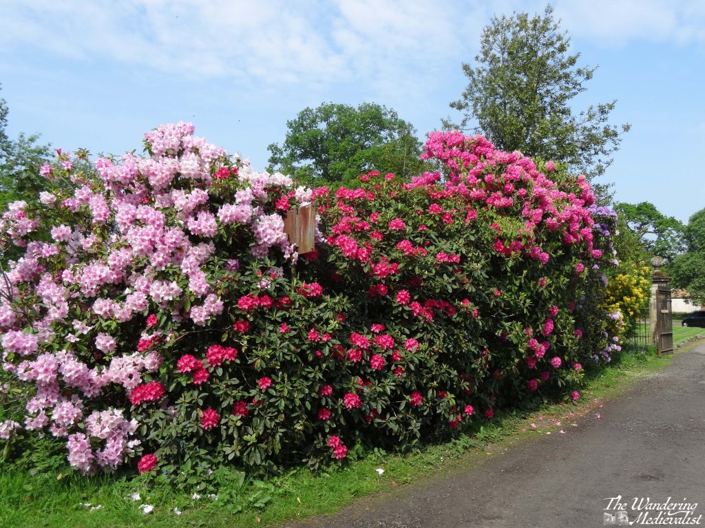
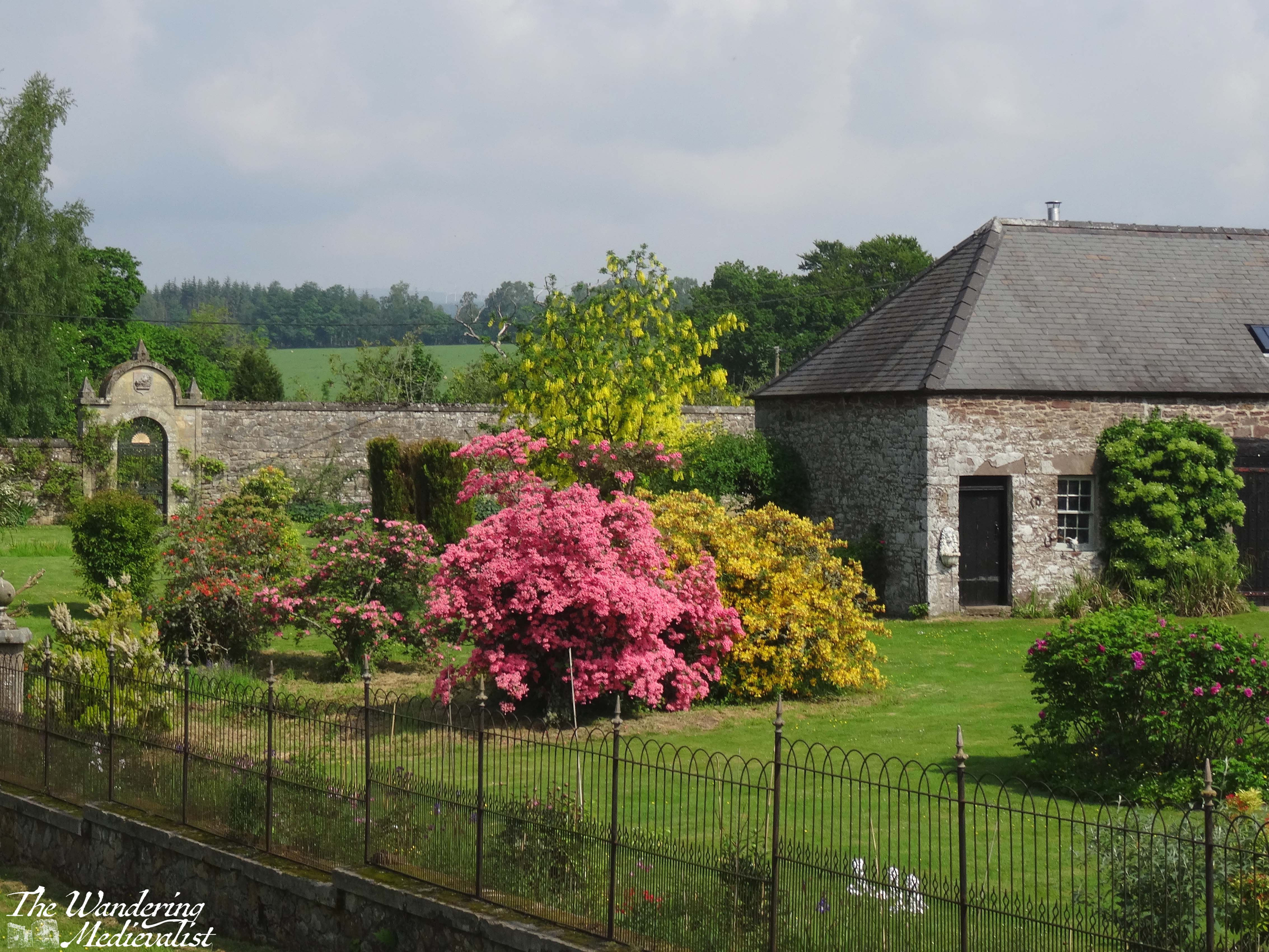
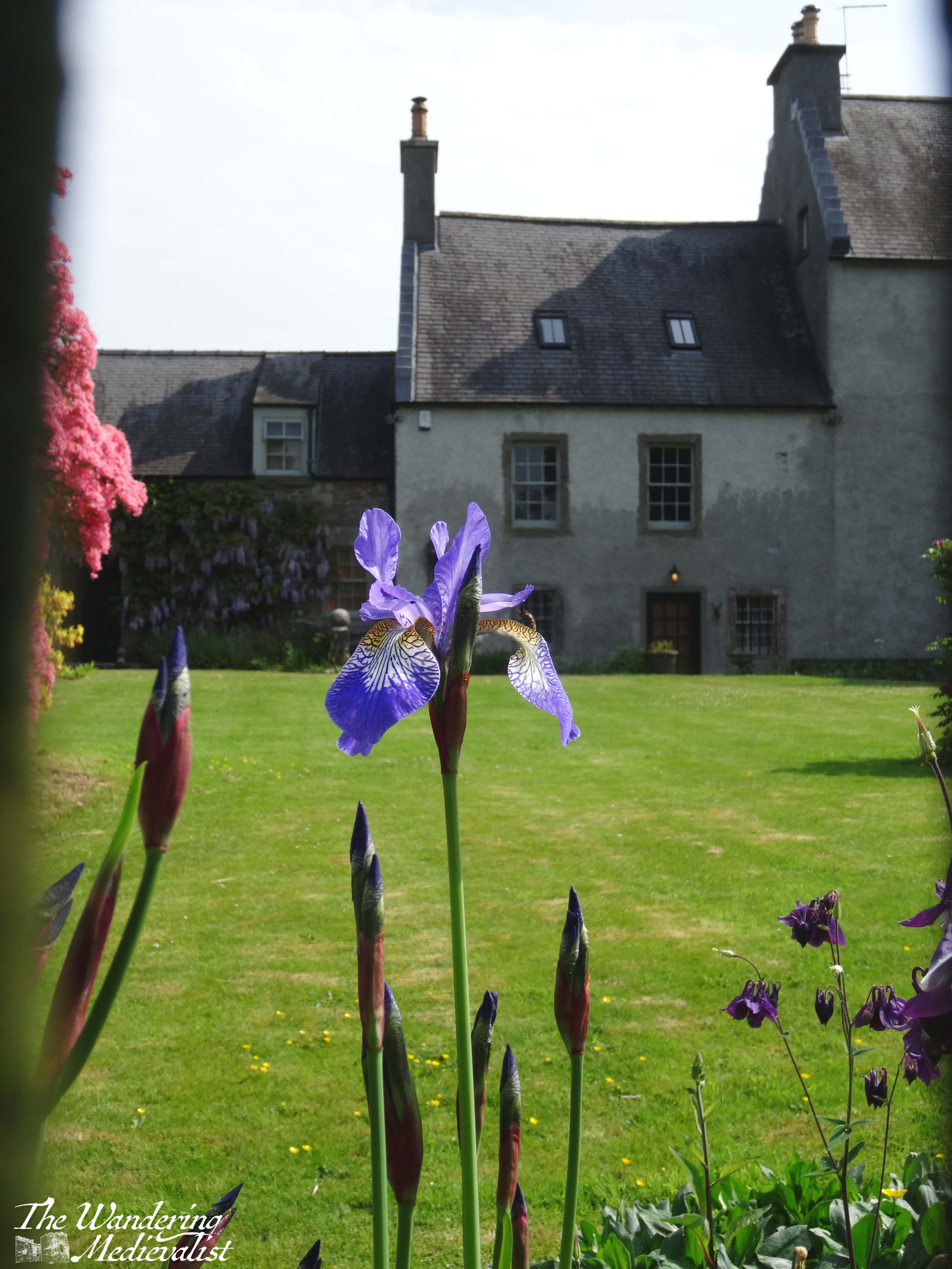
More than a few times I was sure I was lost, but eventually I ended up on the far side of the town, following my walk instructions which took me to the entrance of an old estate, recognisable from the gate cottage and of course the towering rhododendron bushes in full bloom. In fact, the flowers are what stand out to me most from this trip and this walk – everywhere I looked were gorgeous colours, in particular the rhododendron going from purple and white to bright red and coral pinks, and even a buttery yellow.
As I made my way down the path, I was met by a woman asking if I needed help, as the area I was heading into was closed to public access. I explained that I was trying to follow a trail, and trying to get to the castle, and when she realised (I assume) that I was simply a slightly lost walker, she immediately offered to guide me through the estate. It was my second experience in Doune of the joy of travelling on your own and being relatively happy to chat to almost anyone.
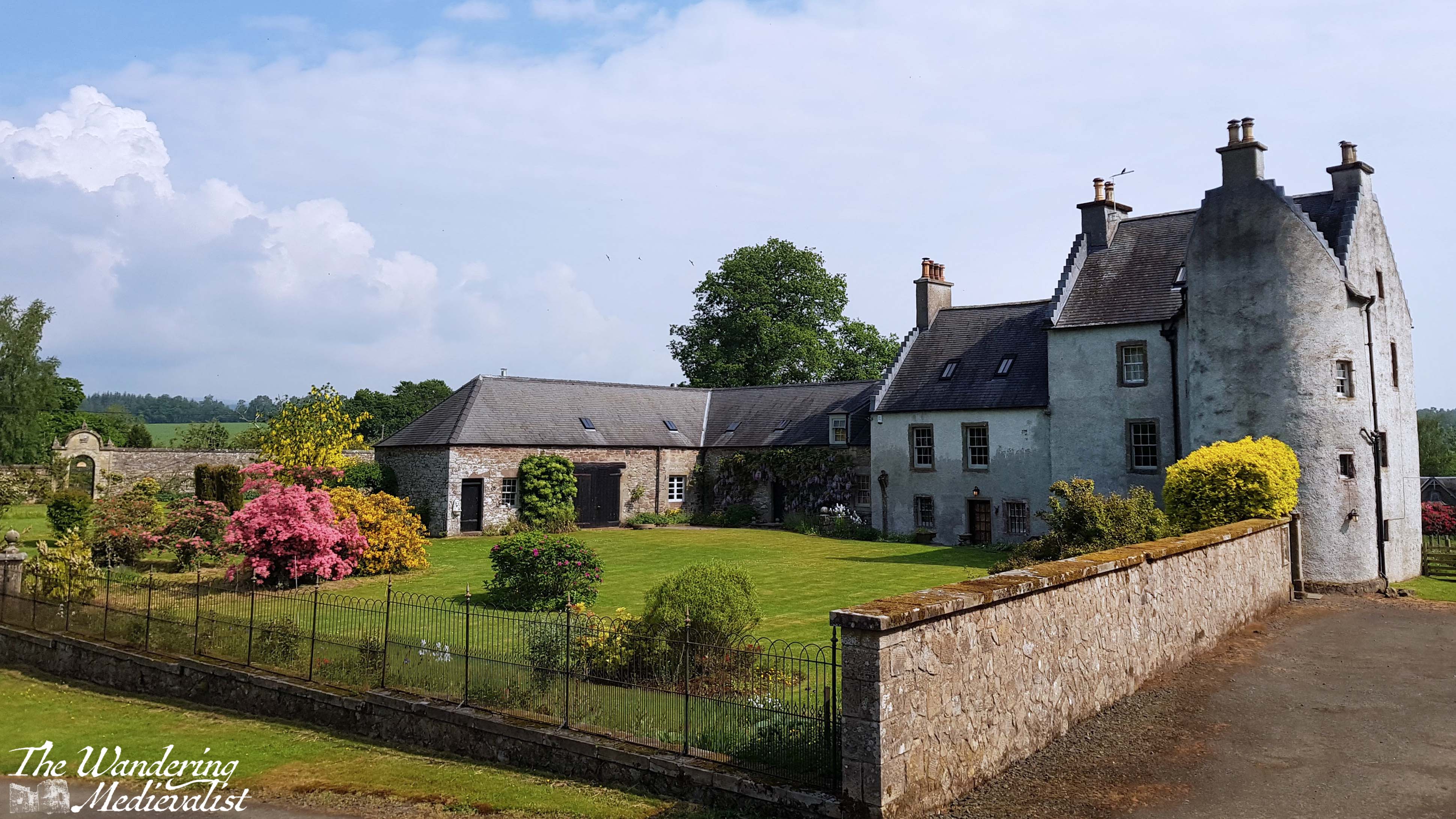
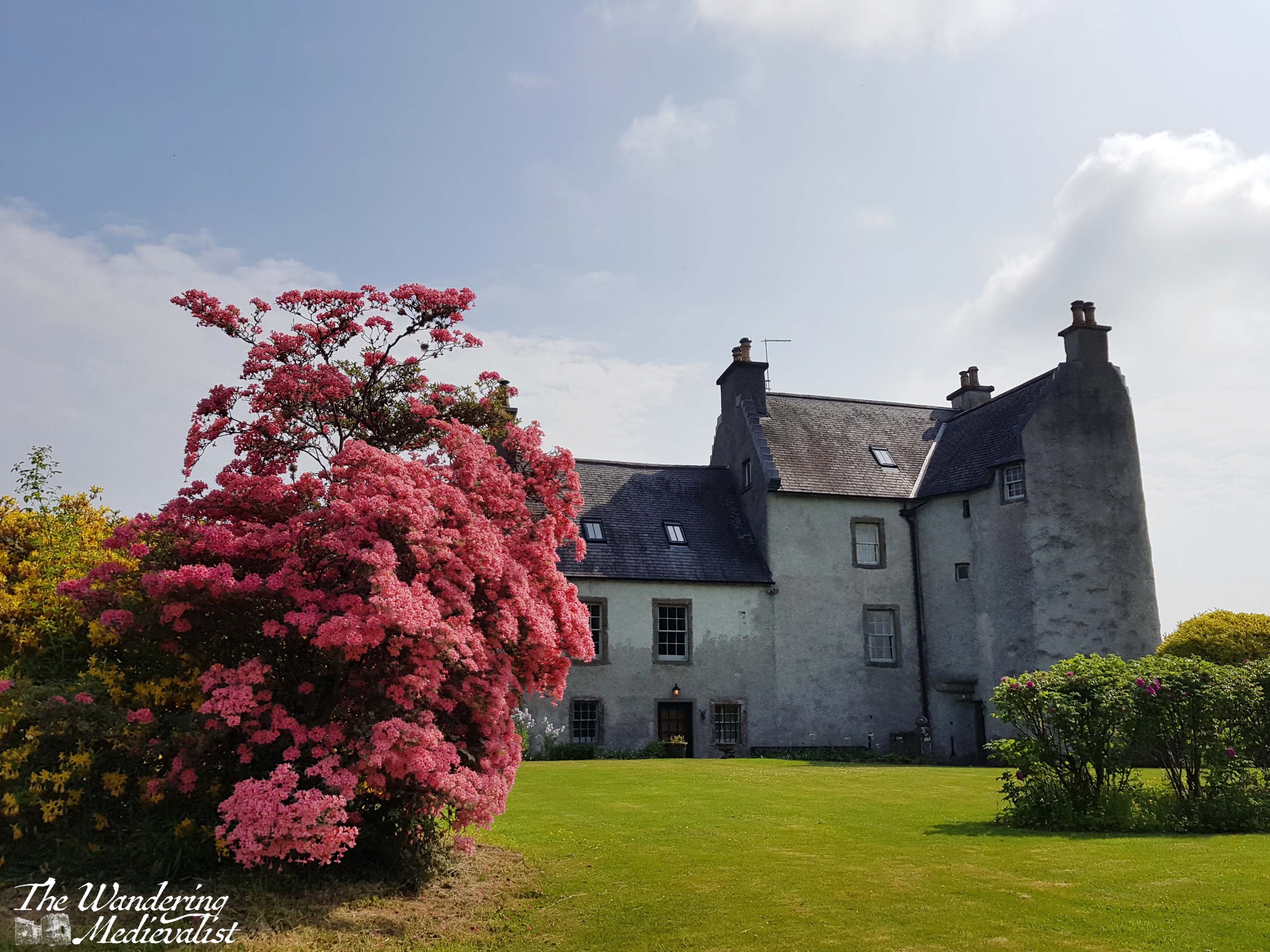
The estate where I ended up is called Old Newton of Doune, part of the Inverardoch Estate, and not long before the cast and crew of Outlander had been staying there while filming – to think I was only a few days off! The caretaker told me a bit about the area and allowed me to walk around the edge of the old estate house, which is stunningly landscaped and kept up. Built in the 16th-century, the castle-house was designed primarily for defence and only used for more domestic purposes several centuries later; now it is used as a group holiday rental. Though I was not allowed to go inside the gate, I was able to get plenty of pictures from the nearby hillside and path.
It was going to be hard to top my visit to Old Newton!
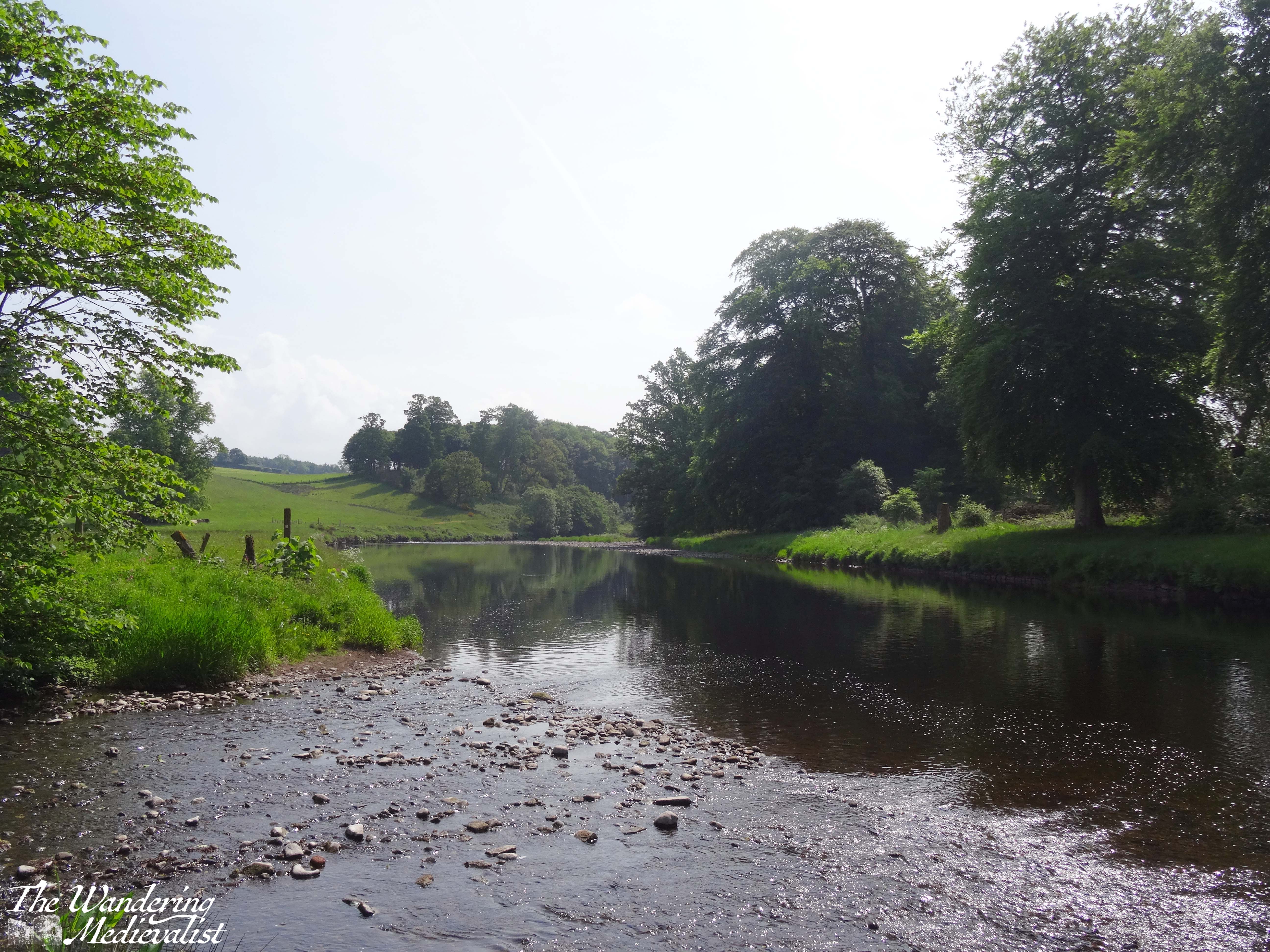
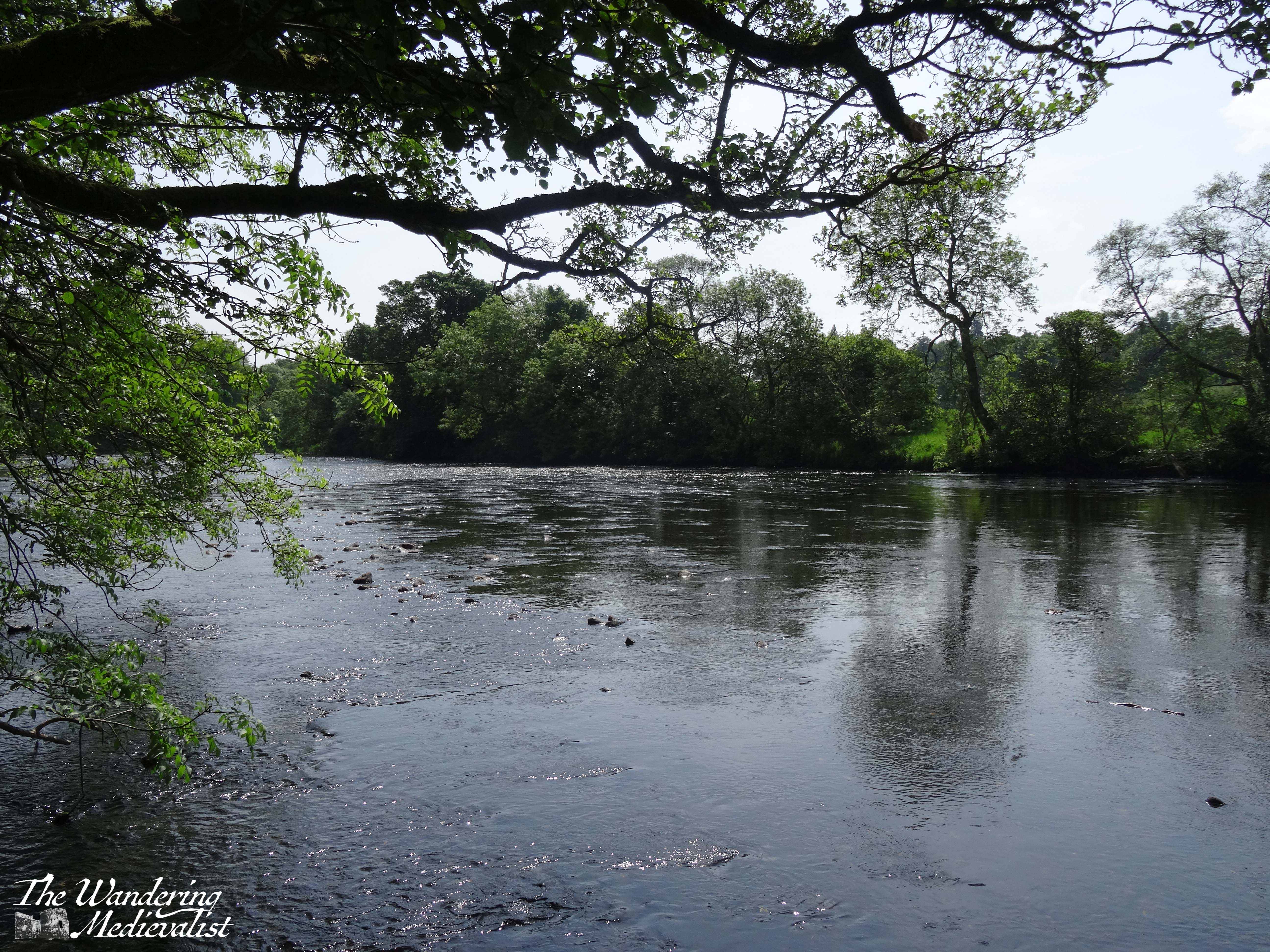
I passed out of the estate on a back access road lined with yet more rhododendron (so common on Scottish estates) and pines, to meet Castle Road. From here, I bypassed the castle and several gorgeous old stone houses, and followed signs for the riverside walk. As it was still a hot and sunny day, I was quite happy to be down by the gently meandering river, where there was a touch of breeze to keep away the worst of the bugs.
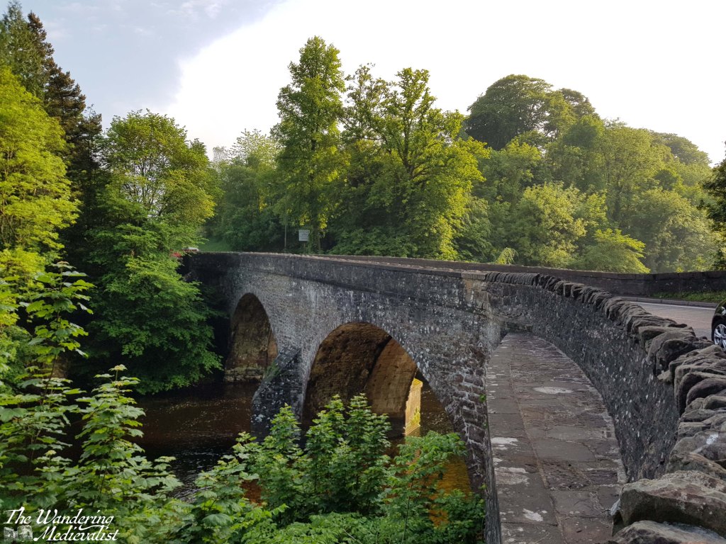
The path was well-kept and lined with trees, while the back fences and gates of the gardens of Doune offered hints at some beautiful landscaping. The route ended just before the bridge and cut up a set of stairs towards the road, where it would curve back up into the village proper. The bridge offers a stunning view back along the river towards the castle, but can be a bit hazardous. The sidewalk is there, but very narrow, so caution is essential.
Back in the town centre, I found myself a table at the fantastic Buttercup Cafe, which had finished their lunch menu but still offered coffee and cake. I decided that my long walk deserved a bit of a reward, and so ordered a delicious raspberry and white chocolate confection along with my Americano. Highly recommended!
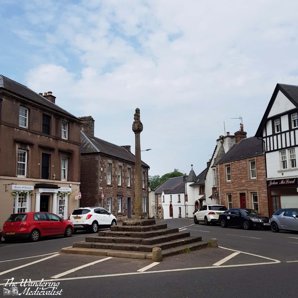
Mercat cross, Doune
my delicious treat at the Buttercup Cafe
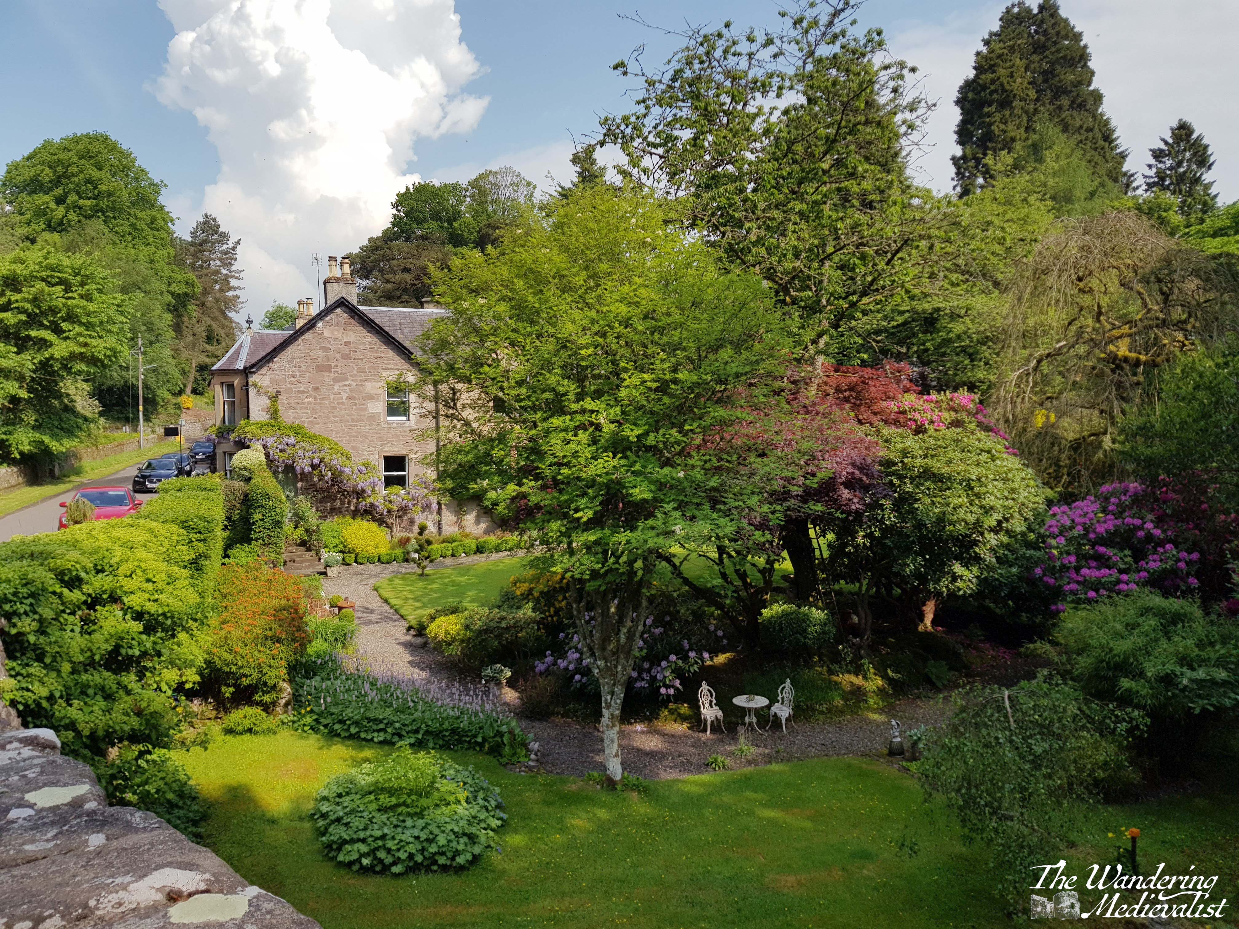
I am sure that if I had more time, I could have found plenty more fascinating walks and trails to take, but I was determined to get a chapter or two of my book edited and re-written, so I headed back to my hotel for a shower and a few hours of writing. While I cannot say I’ll be rushing back to Doune in the near future – I feel like I’ve seen a good bit of it – there is no question that it is a lovely little town with residents well-enough off to keep some gorgeous gardens.
The 14th-century castle and evidence of a Roman fort demonstrate that the site of the town has been inhabited for potentially 1000s of years. In the 17th century, the town became famous for the pistols crafted by the Caddell family, Flemish gunsmiths. The pistols were often sold in pairs, and the Caddells had developed methods of ornamentation that made the weapons highly sought-after. Interestingly, this claim to fame ties back to the Boston area in that it is likely Doune pistols were used during the American Revolution and even, perhaps, at the early battles of Lexington and Concord. Now who says history isn’t fascinating?
Several years back, for reasons I cannot really recall, we decided to deviate from our traditional Lochaber-based holidays and try out the eastern side of the Highlands around Aviemore. Due to its popularity in winter sport season, there are plenty of places to stay and eat, and it is a slightly shorter drive.
On our first day we took an epic long walk around Loch Morlich in the rain, and so on the next day we opted for a slightly more gentle trek, starting at Loch an Eilein and heading almost due east towards the Cairngorm Club footbridge, about 4 miles round trip. There is quite generously-sized car park at Loch an Eilein which in and of itself has some lovely views, including a typical highland-style stone croft.
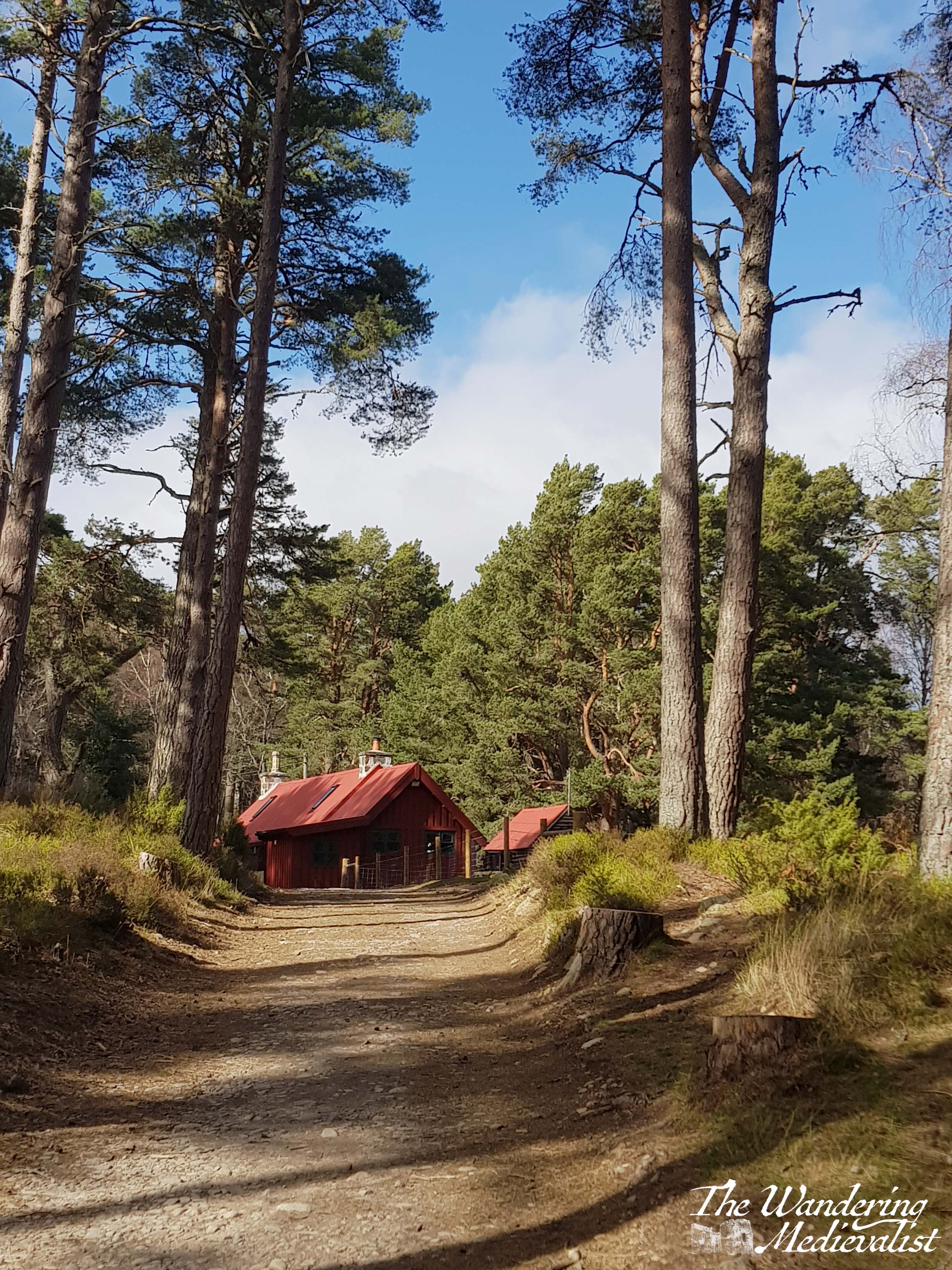
The paths in this area are very well-marked, and we started off along an access road, skirting the edge of the loch. At first, the route was surrounded by beautiful tall pines that allowed tempting glimpses of the water, as well as this stunning Bob Ross-style view of a small forest cottage.
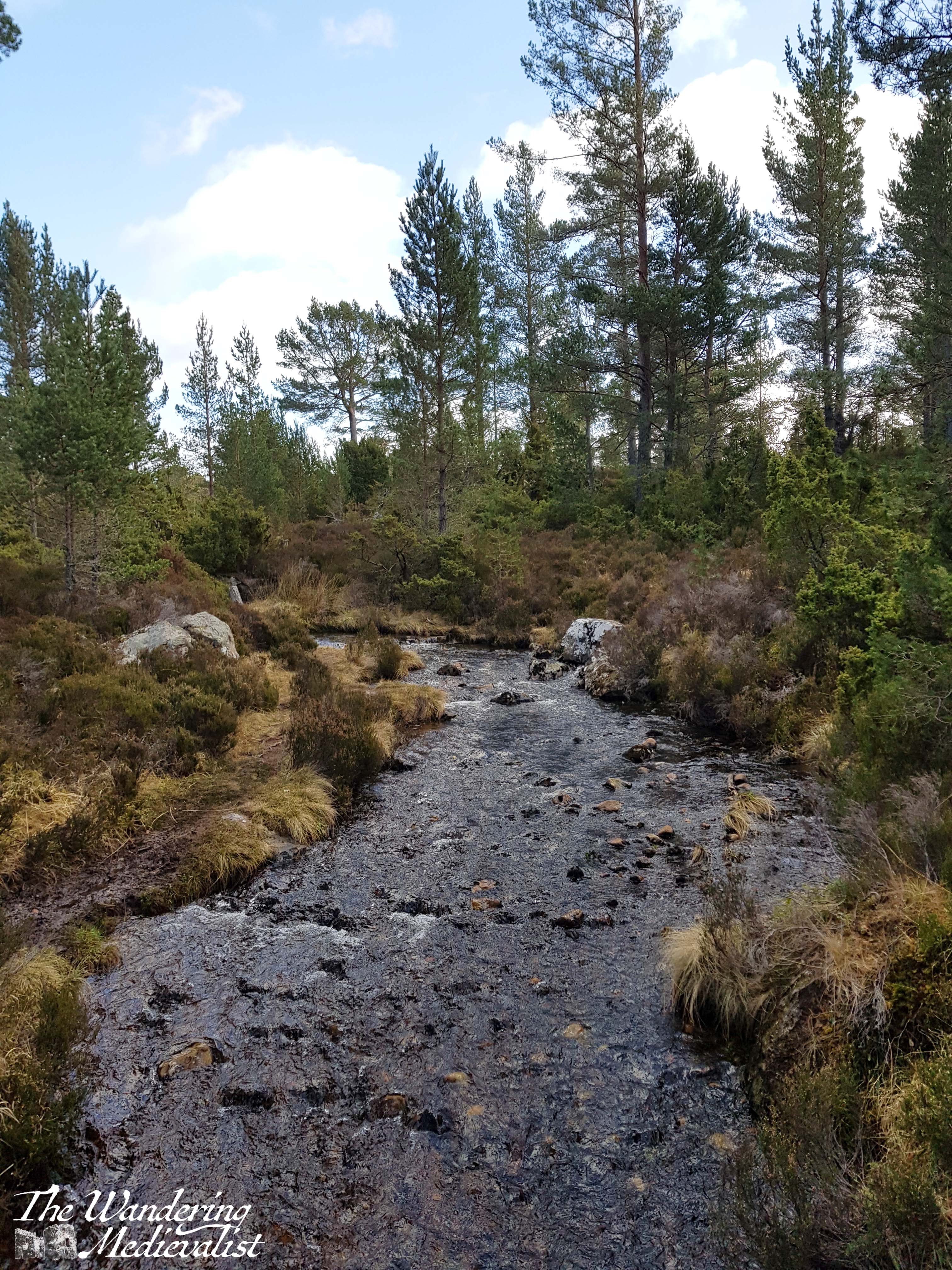
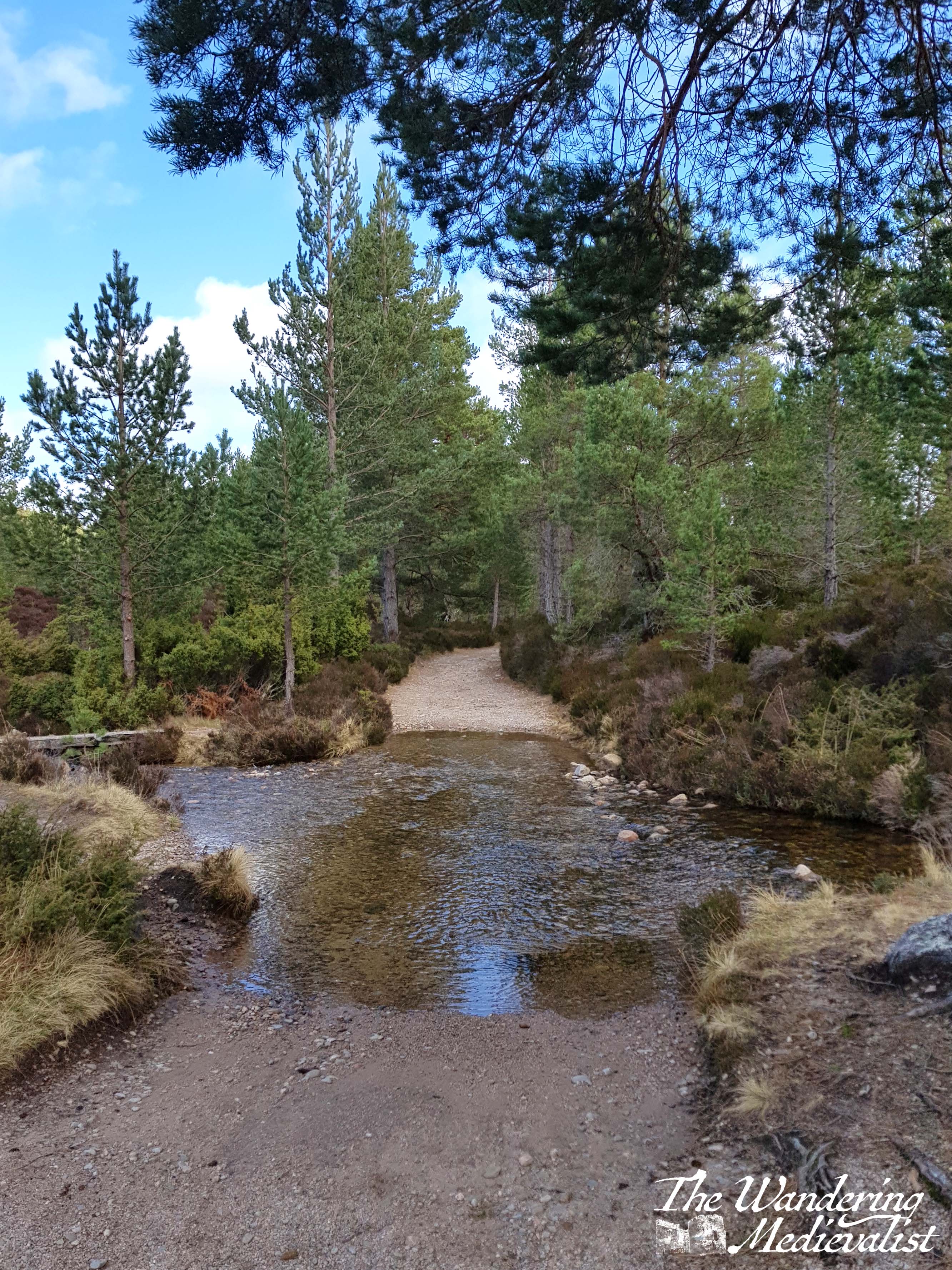
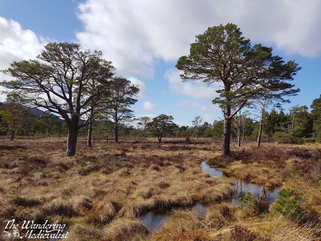
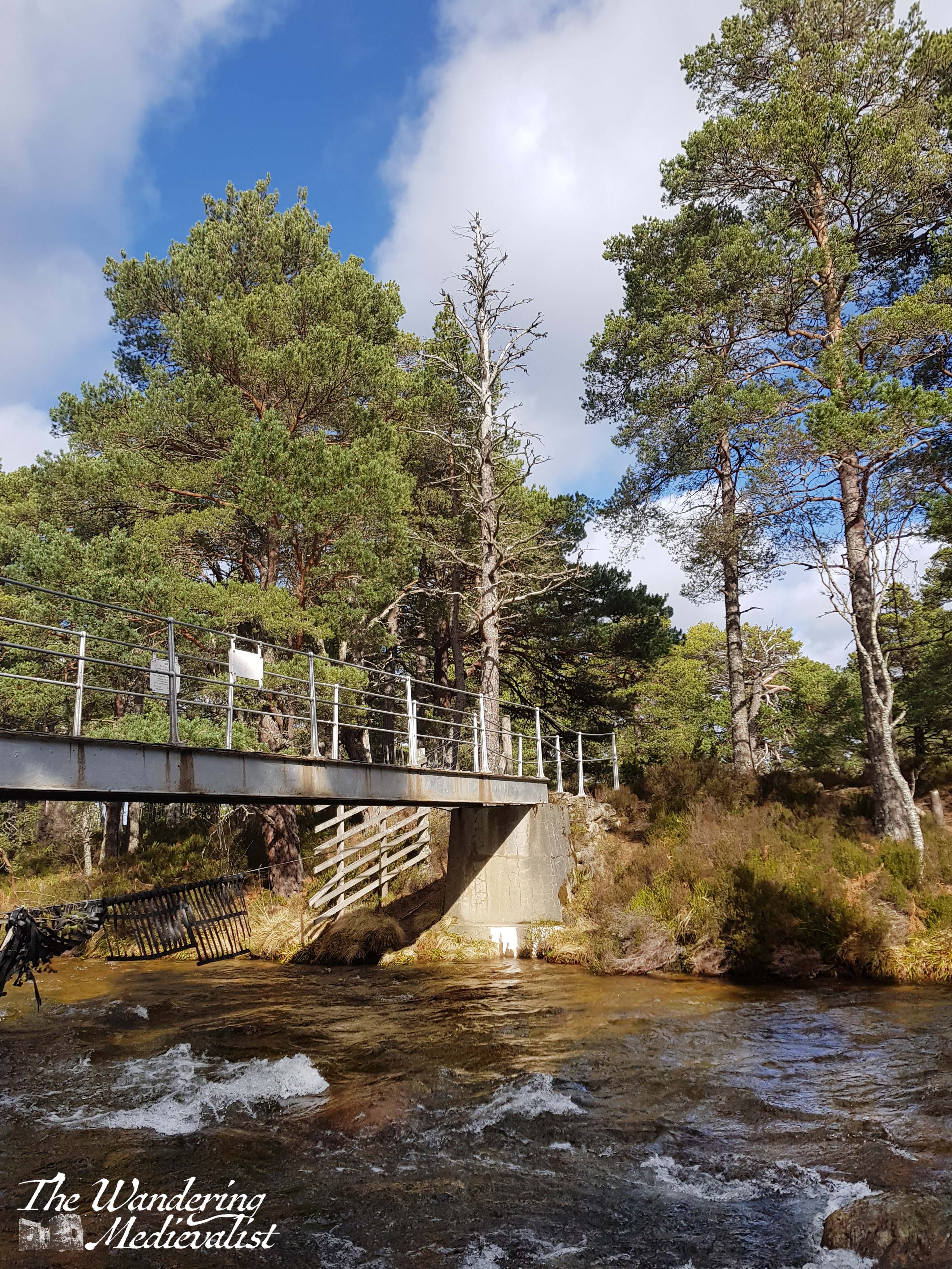
Before long, the path we wished to follow turned east away from the loch. We passed several burns and even crossed one before moving out of the trees and into a flat, more open area with brush on all sides. Much of the open area was quite boggy but the path itself was dry and, for the most part, flat and easy to follow (excepting of course the shallow ford below, which required a bit of careful manoeuvring.)
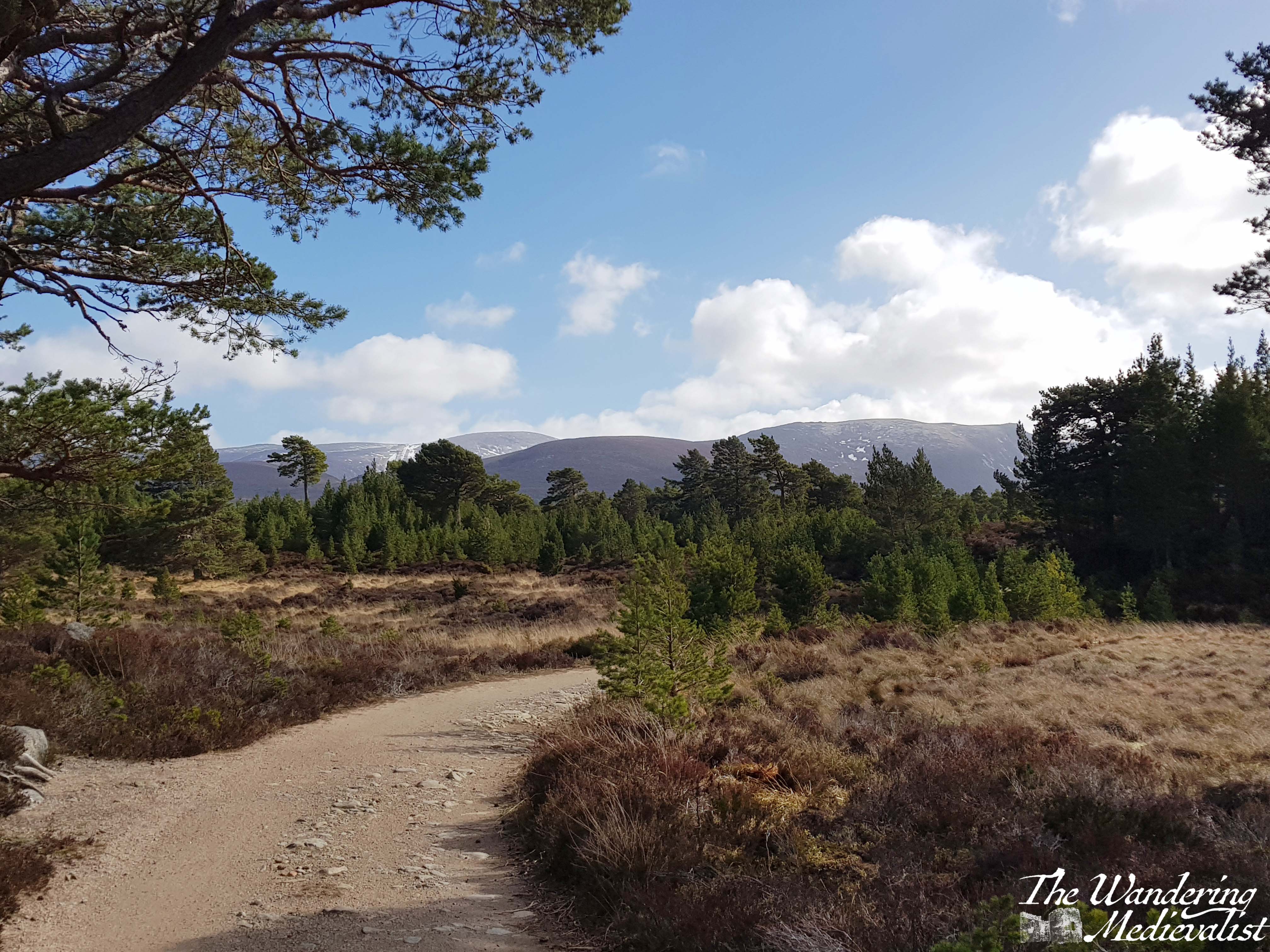
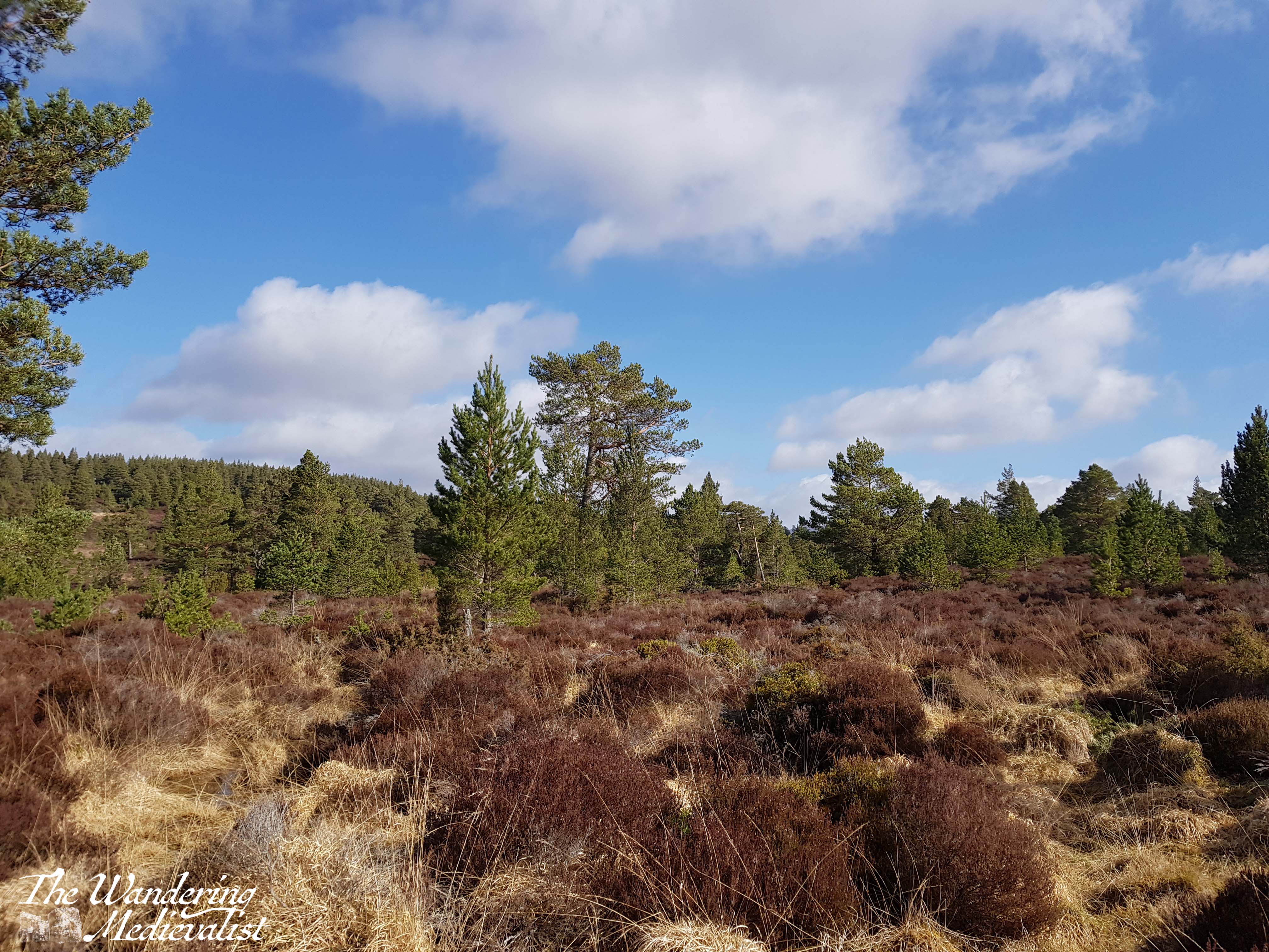
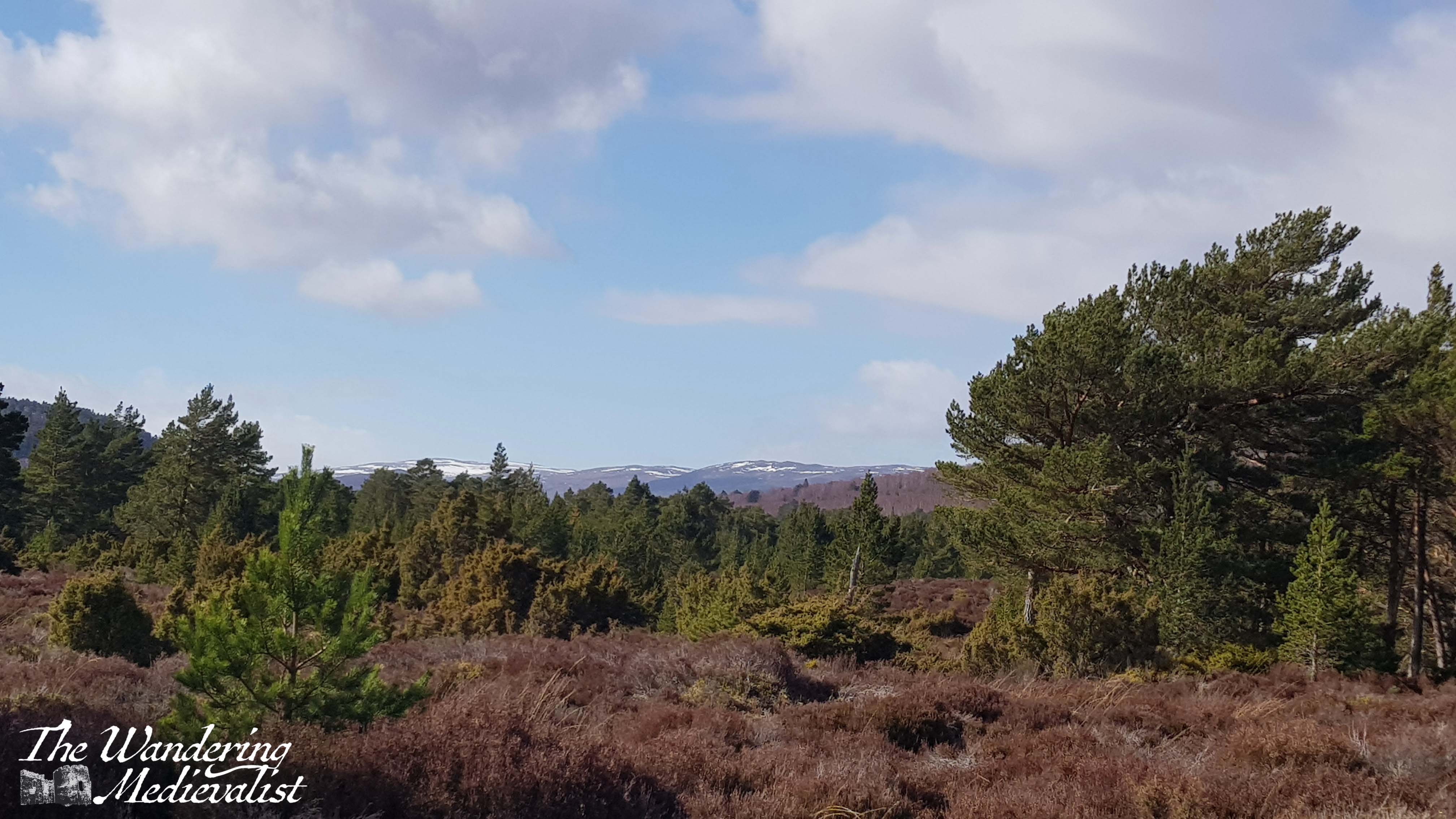
I quickly fell in love with this particular trail, which offered views of the mountains in the distance, but also stunning single or small groups of trees that stood out against the open space. There were lochans dotted amongst stands of trees, shining in the sunlight, and it felt like something out of Lord of the Rings or some other fantasy.
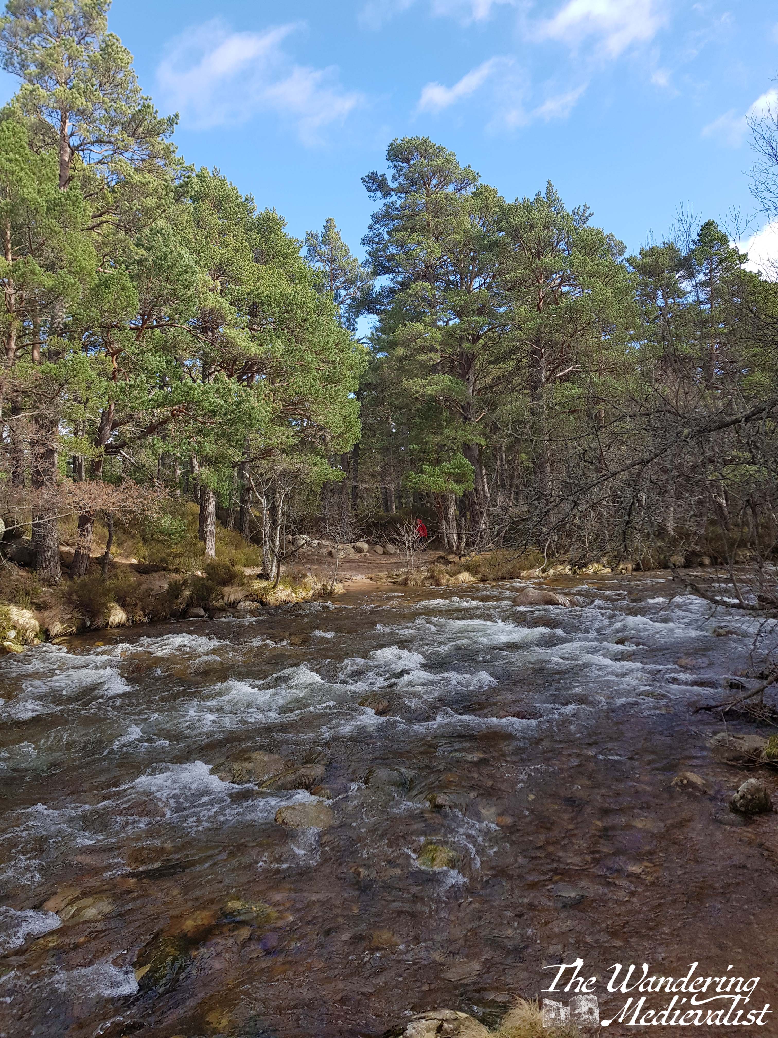
The walk was dampened only by the fact that we were both a bit stiff and sore from our intense hike the previous day, and I found myself easily exhausted (not in part due to a bout of food poisoning the night before). I am nothing if not stubborn, however, and so we continued on towards Am Beanaidh, the river that was our goal. We did have a few moments of worry that we had taken the wrong path – we had a good map, but as is not uncommon in the highlands there were routes not on the map that led close to where we wanted to go – but in time we re-entered the forest and began to hear the sounds of the river.
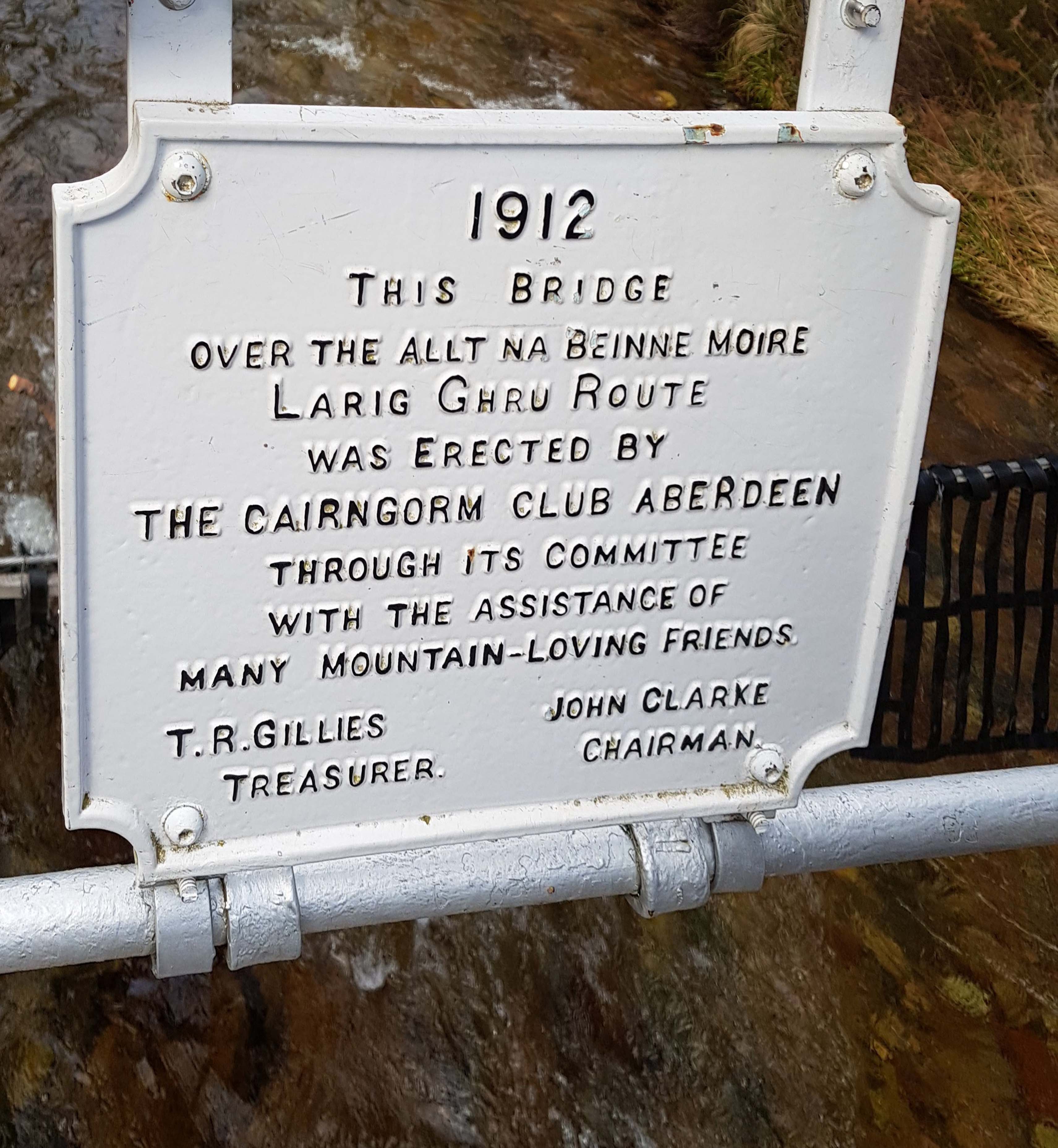
Our goal and our lunch spot for the day was the iron footbridge which spans the river and was constructed by the Cairngorm Club in 1912. It boasts several sturdy plaques memorialising the building of the bridge, and a good viewpoint to look up or down the river. It was the perfect stop to fuel up and take a few selfies to prove we had managed a hike that day.
Considering the dreadful weather we had the day before, we were so lucky to have mostly blue skies and a comfortable temperature, perfect for walking. This trail is flat for the most part, as well, with a few rises and falls but no strenuous climbs. It was absolutely the right choice for a morning walk before driving home in the afternoon, and it could be both shortened or lengthened quite easily by adding in an extra loop or simply crossing the bridge and/or following the path along the river.
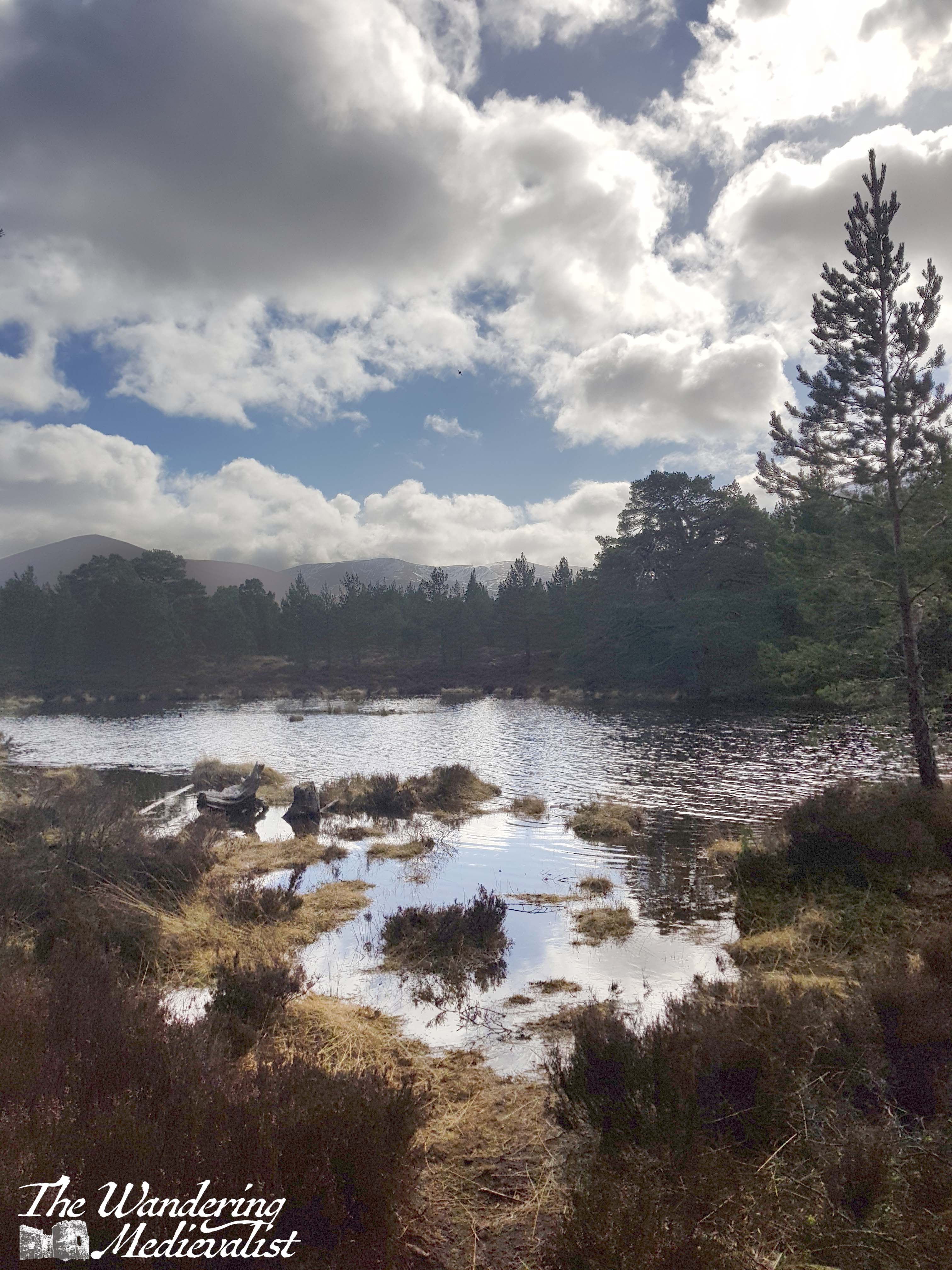
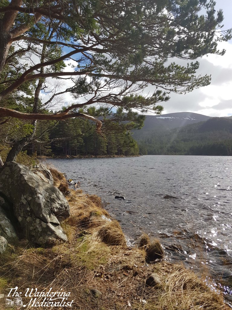
On our return, we took the time to follow one of the several side-trails down to the loch side, and I was lucky enough to take the below shot of sunlight glistening off the water. It remains one of my favourite shots, not in part because it reminds me so much of where we used to spend summers when I was young. The Aviemore area was not as evocative for me as the mountains further west, but there is no question that there are some beautiful trails and lochs.
I have had every intention of publishing this post almost every day for the past two weeks, but a combination of leaving work and a bout of Covid continued to set me back.
The Scottish Highlands are legendary for their stunning hills, lochs, and the hikes and paths that allow you to view them in a way you can only do by foot. Not long before the start of lockdown, we spent a weekend at a self-catered cottage in Aberfeldy, allowing us plenty of time to explore the surrounding hills. This walk, on Kenmore Hill above Loch Tay, was both stunning and a touch disastrous.
Why was the walk a touch disastrous? It started with the car park which, at the time we visited, was inaccessible without a 4×4 (I do have hopes that it has been re-done since then!). We ended up having to stow our car just off the road and the end of the drive up to the car park, but fortunately our car at the time was tiny and we managed relatively well.
From the edge of the road we walked up through the car park and almost immediately enjoyed splendid views back over the valley, particularly down towards Taymouth Castle and estate.
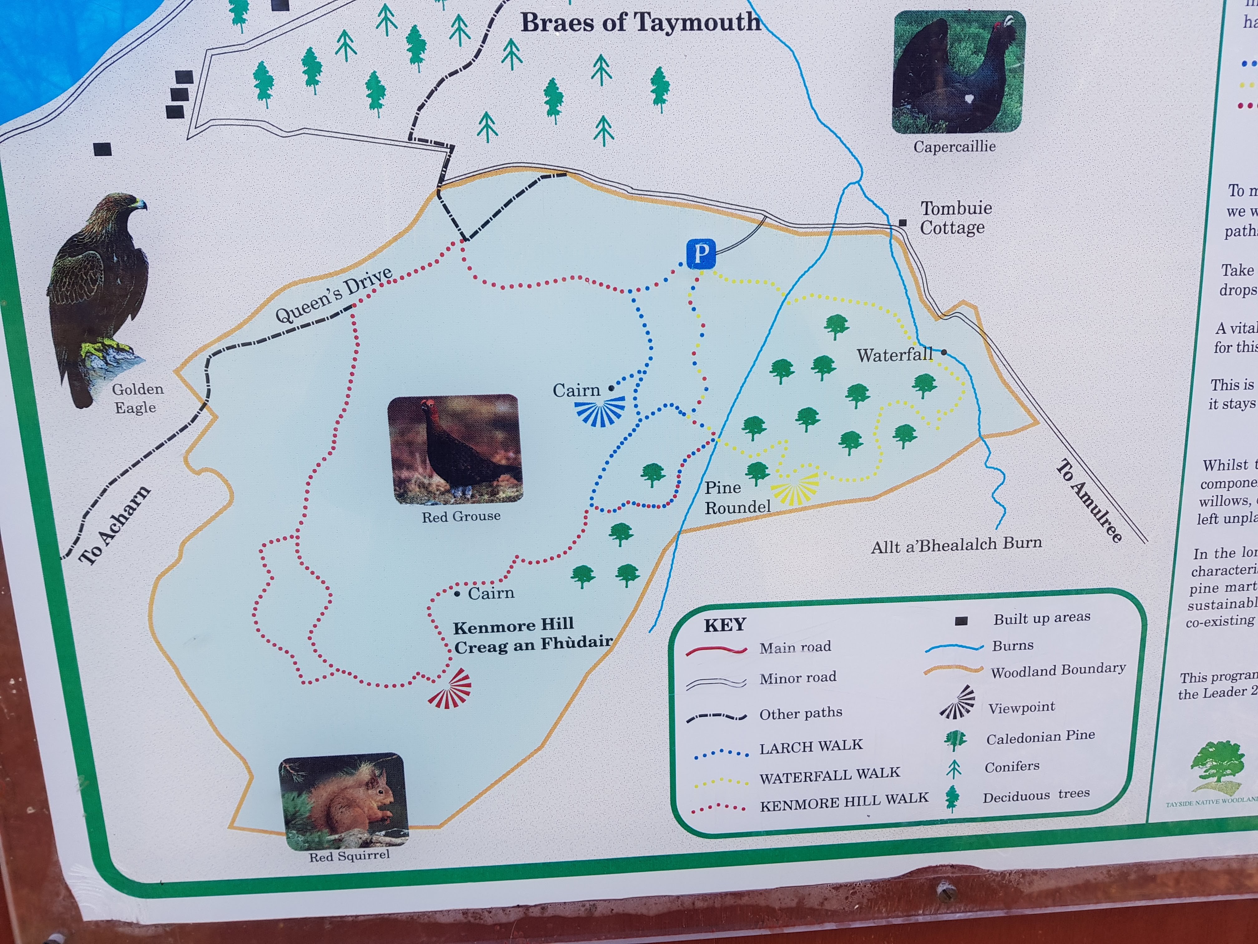
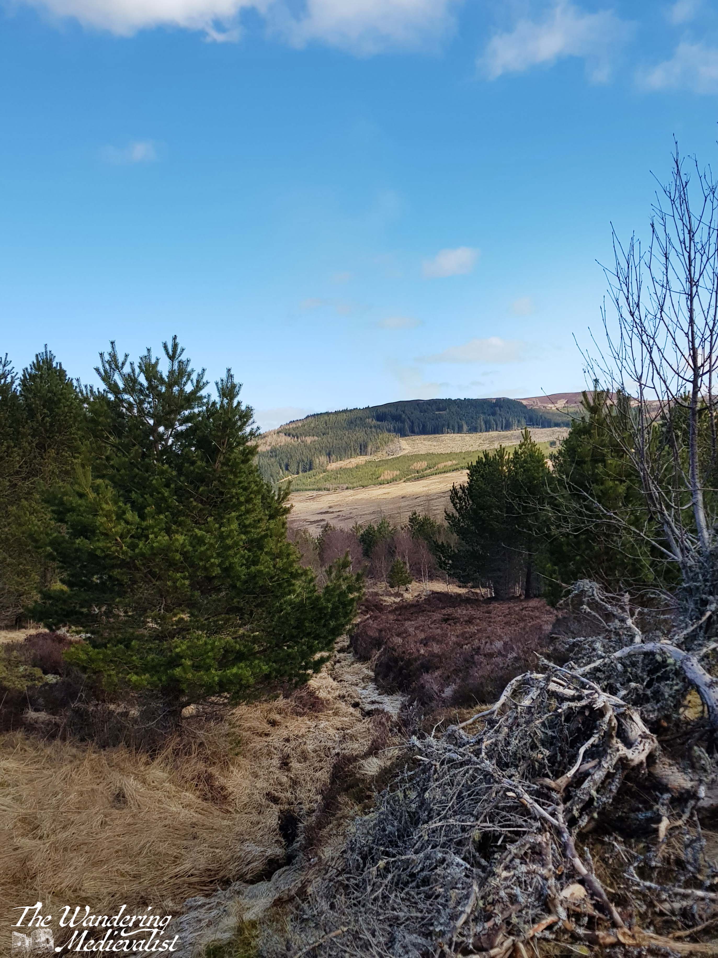
The sign in the car park offered three routes, and the one most clearly described by Walkhighlands was the red route; all three started in roughly the same place so we headed upwards, beginning a steady climb up the hill on a path that reminded me of a ski path without snow – rocky and lined with trees.
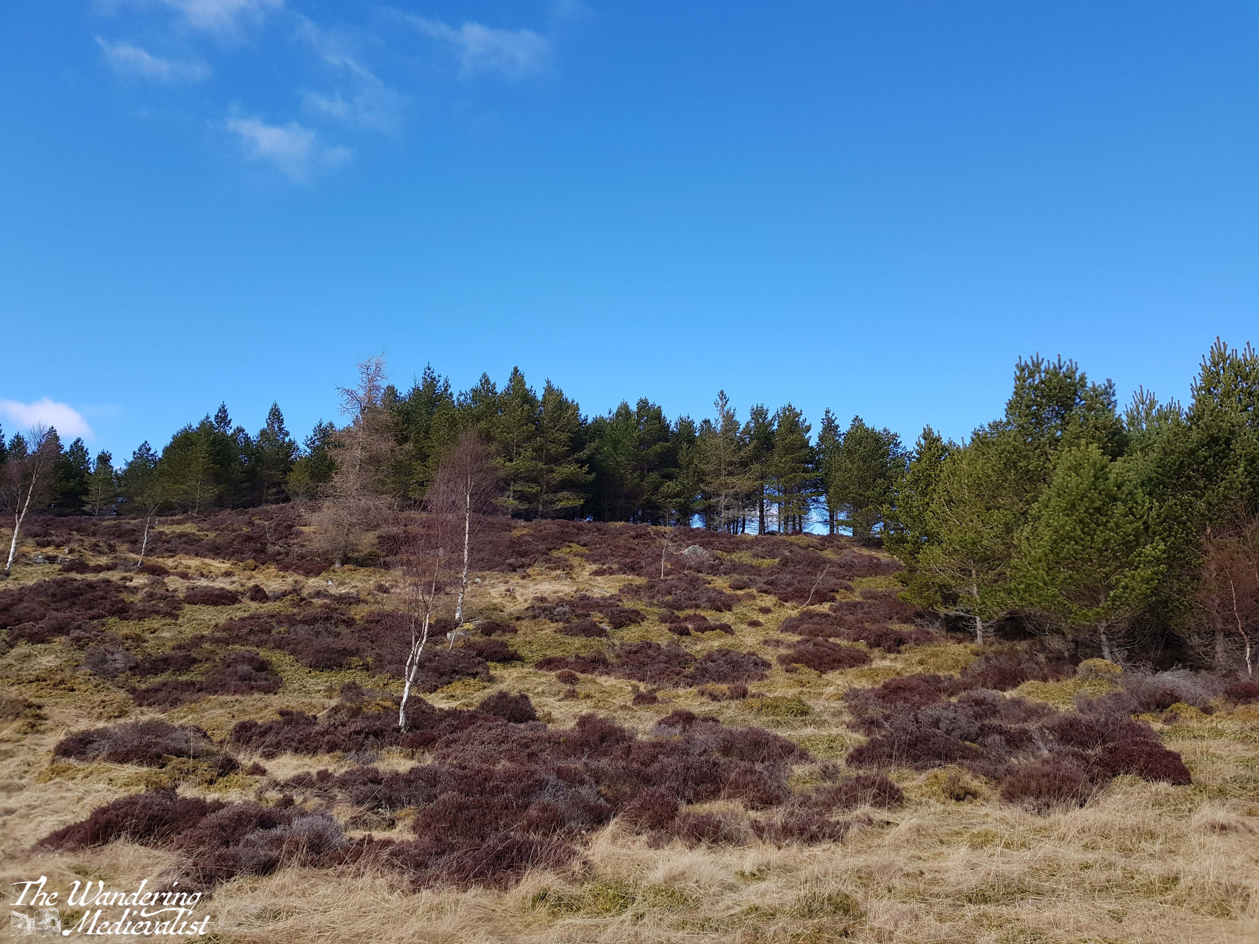
Eventually signs for the red path turned us right and we emerged from the trees, finding ourselves on a grassy area with a treeline on the ridge above and promises of views over the valley.
We were hampered a bit at this point by the fact that we had, the day before, done the Birks of Aberfeldy walk, which had been steeper and with more stairs than expected. The other half was suffering a bit with his knee from an old injury, and as we climbed up the hill towards the ridge – a relatively steep walk – he found it becoming more and more difficult.
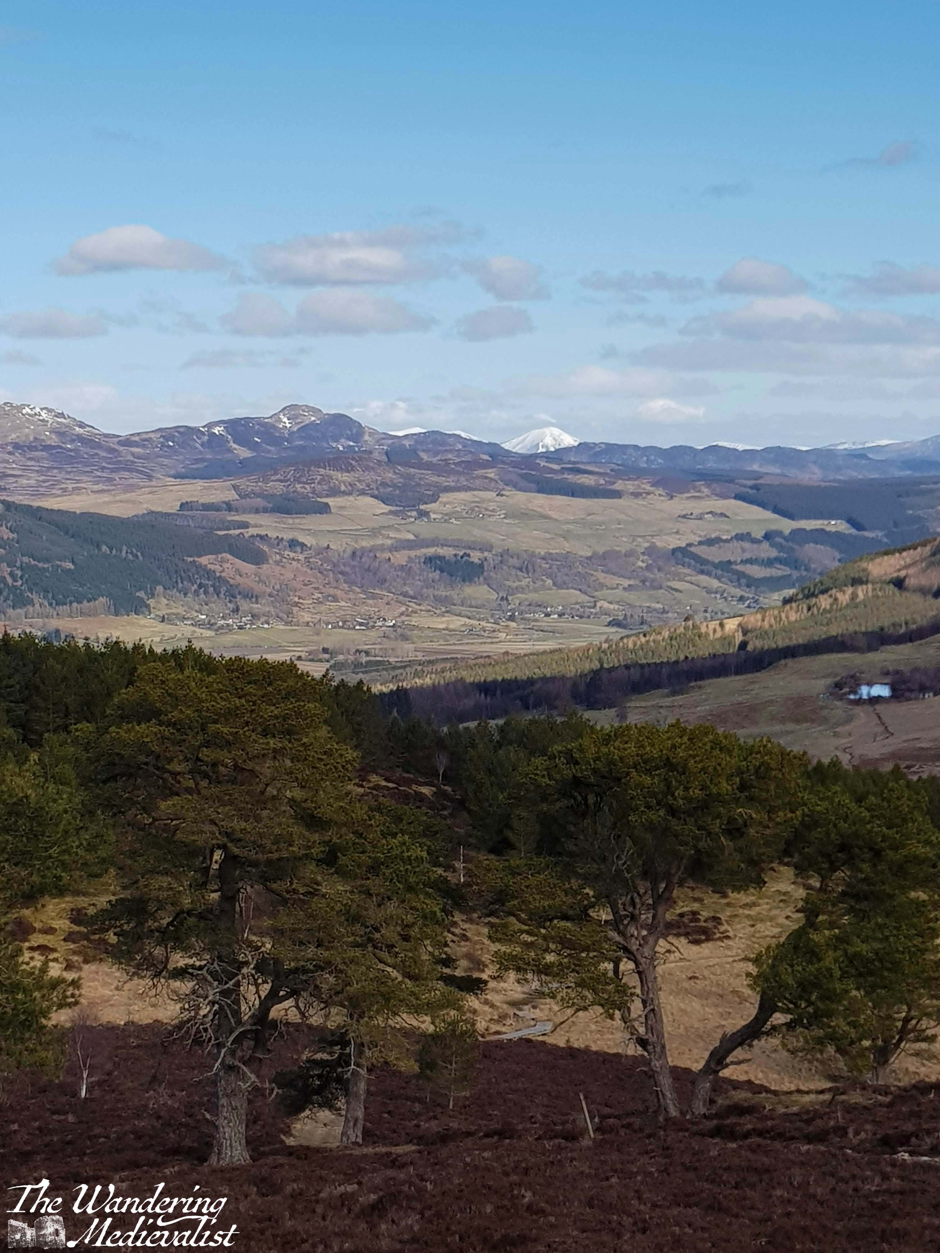
We reached the top of the ridge in time and the views were indeed spectacular – the snow-topped peaks in the distance stood out beautifully against the blue sky, and we planned to continue the red loop towards the final cairn, where I know you can see down towards the other end of Loch Tay.
The discovery that we had forgotten a knee brace meant that we really could not continue to potentially cause even more damage, and so we agreed to return to the blue loop, and follow it back to the car.
Here, of course, is where slight disaster struck. We did as planned, found the blue path and intended to allow a quick run up to the marked viewpoint. Instead, as we followed the blue markers and the gap in the trees, we gradually realised that we had not seen a marker in a while, and that any sign of a trail had vanished. Both of us are relatively experienced hill walkers who had been paying attention, and yet could not determine a place where we could have deviated from the trail; we had two versions of a map and the picture of the trail, but found ourselves completely lost. We back-tracked a bit, and still could not confidently identify a marker. Standing at one of the last clear points, we established where the path should be, and where the road was, and decided that as long as we headed down and towards the road, we would reach it eventually, as it loops around the hill.
What followed was a rather steep and haphazard descent through brush, heather, and the occasional small trickle of water. I would not normally condone leaving a trail like this as it can cause damage to the wildlife, but we really did not have much of an option. We decided the trail lost us as much as the other way around. It was similar to a hike I had once done with my father, when we realised a touch too late that the trail we were following was in fact a dry creek bed – on that day, like on Kenmore Hill, eventually common sense and perseverance (perhaps even stubbornness) won out and we found our way to a clearly marked path.
On Kenmore Hill, this ended up being the last loop of the red trail, though we still cannot work out we managed to get there. Relieved, we found our way back to the car park and our car, the beacon we had just made out from higher up. While it was certainly not the most comfortable climb, I have every intention of making my way back and completing the red loop at some point, as I have seen from other hikers that the views from the other side of the hill are spectacular. It also seems to be the perfect length of hike – about two hours, with enough climb to get some proper views and the heartrate up a touch. I also have hope that in the years since the pandemic, the path has been kept up and perhaps improved, though a peek at Google Maps indicates that the road to the car park may still be in questionable shape.
After our slightly chaotic hike, we decided to take a drive down the loch as it was a beautiful day, and below are a few of the pictures I took along the way; Loch Tay really is a beautiful spot and while the mountains are less dramatic than further north, they are no less impressive. We in fact drove all the way to Killin and stopped at an Inn by the Falls of Dochart – a post for another time.
I look forward to an opportunity to try to this hike again!
It has been a long few weeks with the holidays approaching and Thanksgiving zipping past. At a very family-centric time of year, my mind often returns to New England and particularly New Hampshire, where I spent so much time growing up.
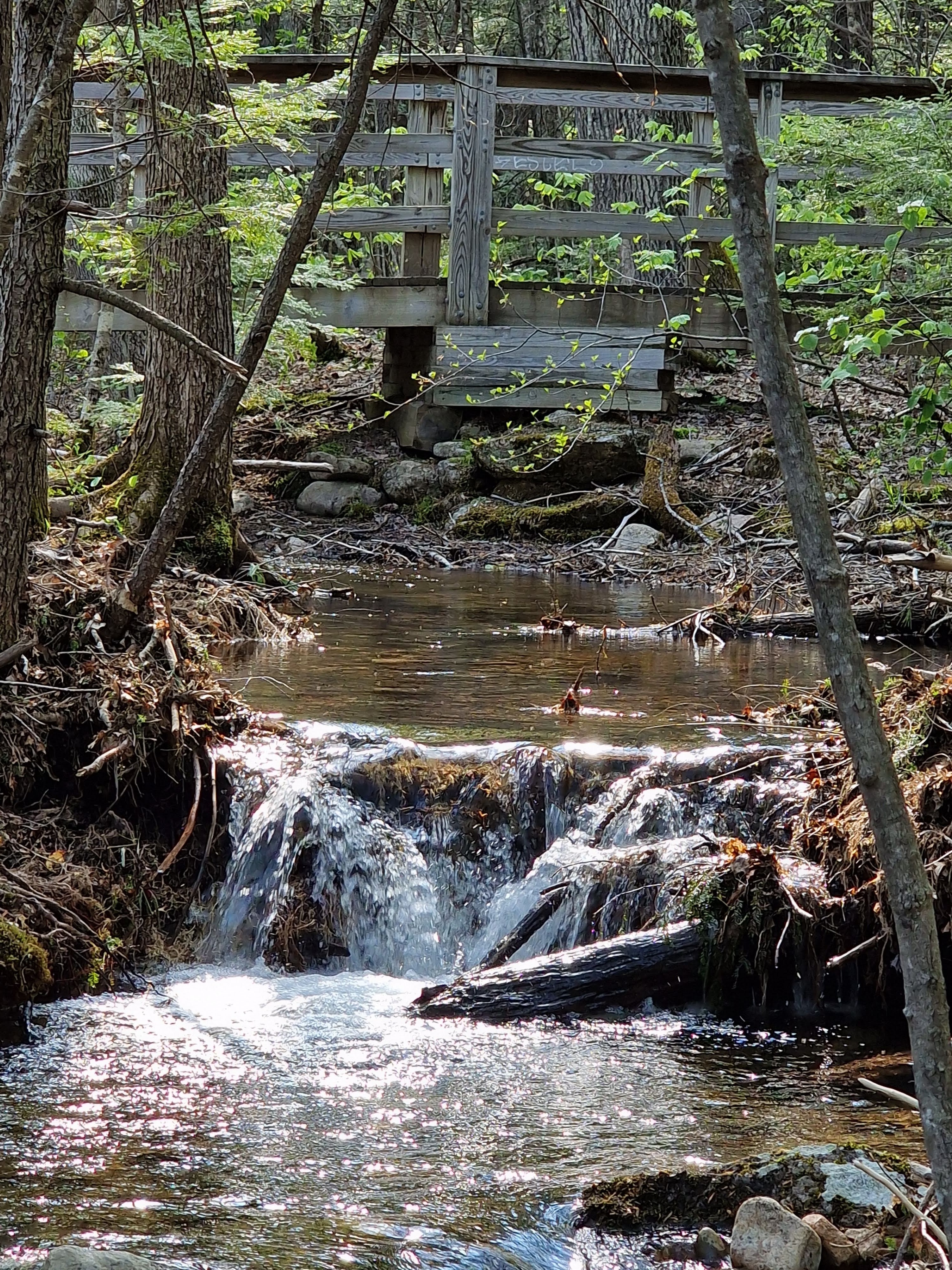
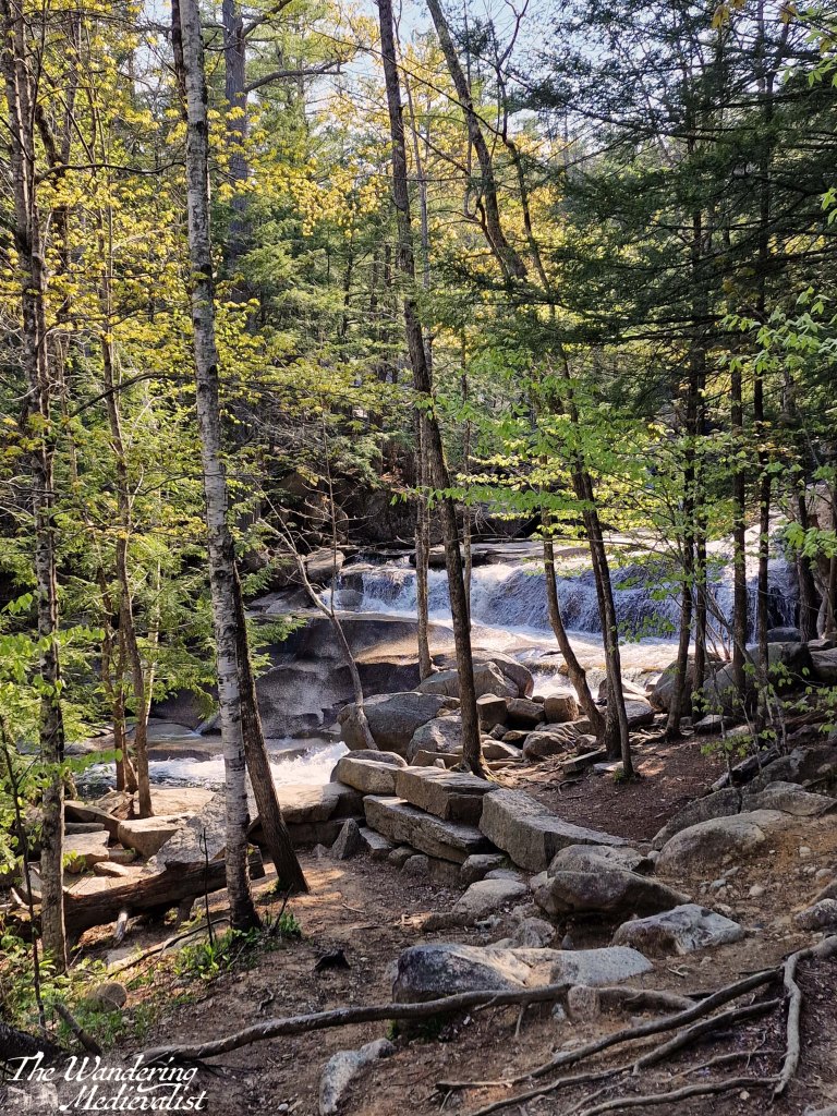
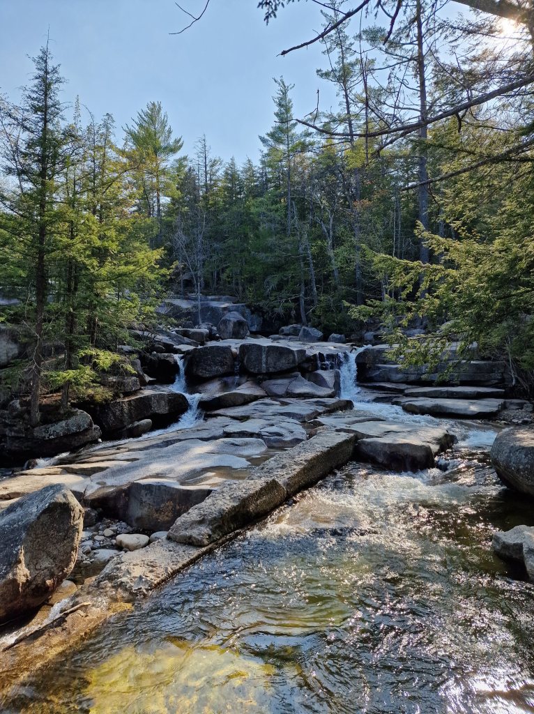
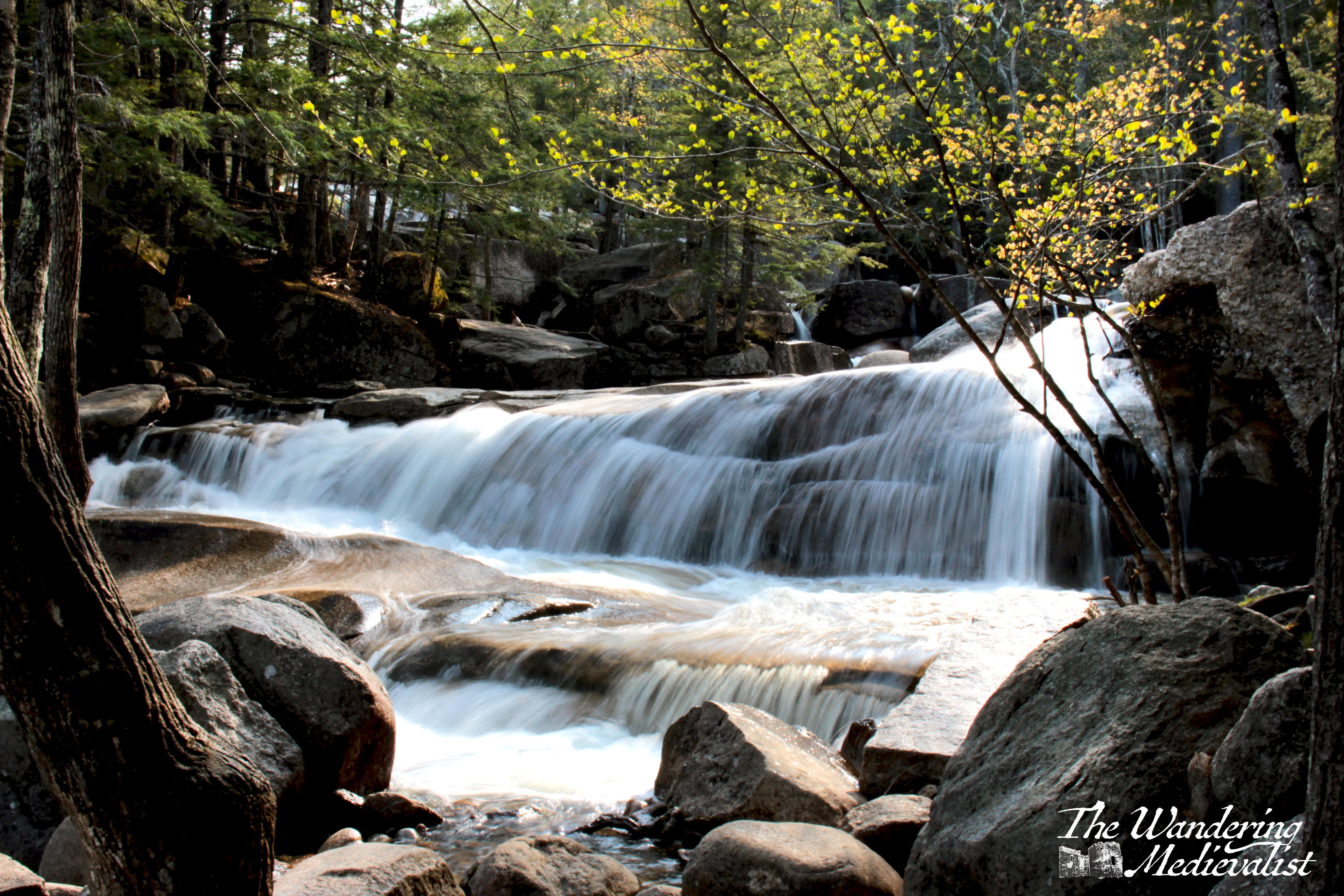
Casting my mind back to May, I recalled that our whirlwind trip to the White Mountains did not allow us a lot of time for long walks, and we were delighted to discover that there were more than a few short jaunts where the views were still excellent. The trial to Diana’s Baths was one of those – easily accessed and yet in no way lacking in terms of waterfall.
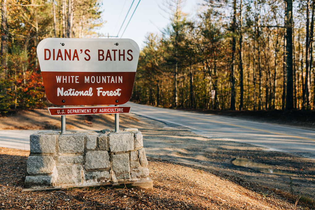
We chose this walk as we knew it was close by – less than ten minutes by car from our hotel – and it had great reviews. One aspect of travelling in the White Mountains that I had forgotten about was that some trails require a fee to pay in the car park. This is entirely foreign to those of us who hike in Scotland, and we found ourselves digging around for cash at several sites. Now of course if I had read ahead I would have realised this, but I didn’t. And most of my memories of the White Mountains come from childhood, when I would not most likely have noticed any payments being made. What I had remembered about the area though was the large, clear trailhead signs for most sites, which helpfully confirmed we were in the correct place even when Google faltered a bit.
On the day we visited, we had been driving most of the day, and so were keen on something quick to stretch out a bit. We had trusted Google maps to take us on an epic drive from Freeport, Maine almost due north – though there is no road due north – towards Bethel. From there we cut across the top of the White Mountains and then south along Route 16. This route cuts south from Gorham, NH and passes so many remembered locations – Dolly Copp Campground, the Great Gulf Wilderness trails, Glen Ellis Falls, and of course the Pinkham Notch visitor centre where we several times started a trek up Mount Washington.
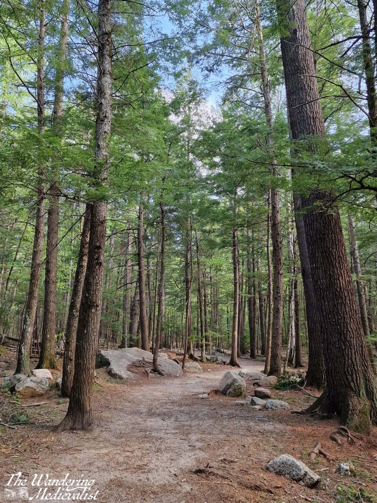
Fortunately, the Diana’s Bath trail is no where near as strenuous as climbing one of the Presidentials, or even some of the shorter peaks we favoured. Quite the opposite, it is just about one mile round trip and so perfect for families. The path itself is well-kept and pleasant, cutting through the forest of tall pine trees. The day we visited was warm and sunny, a great day to be walking in the woods.
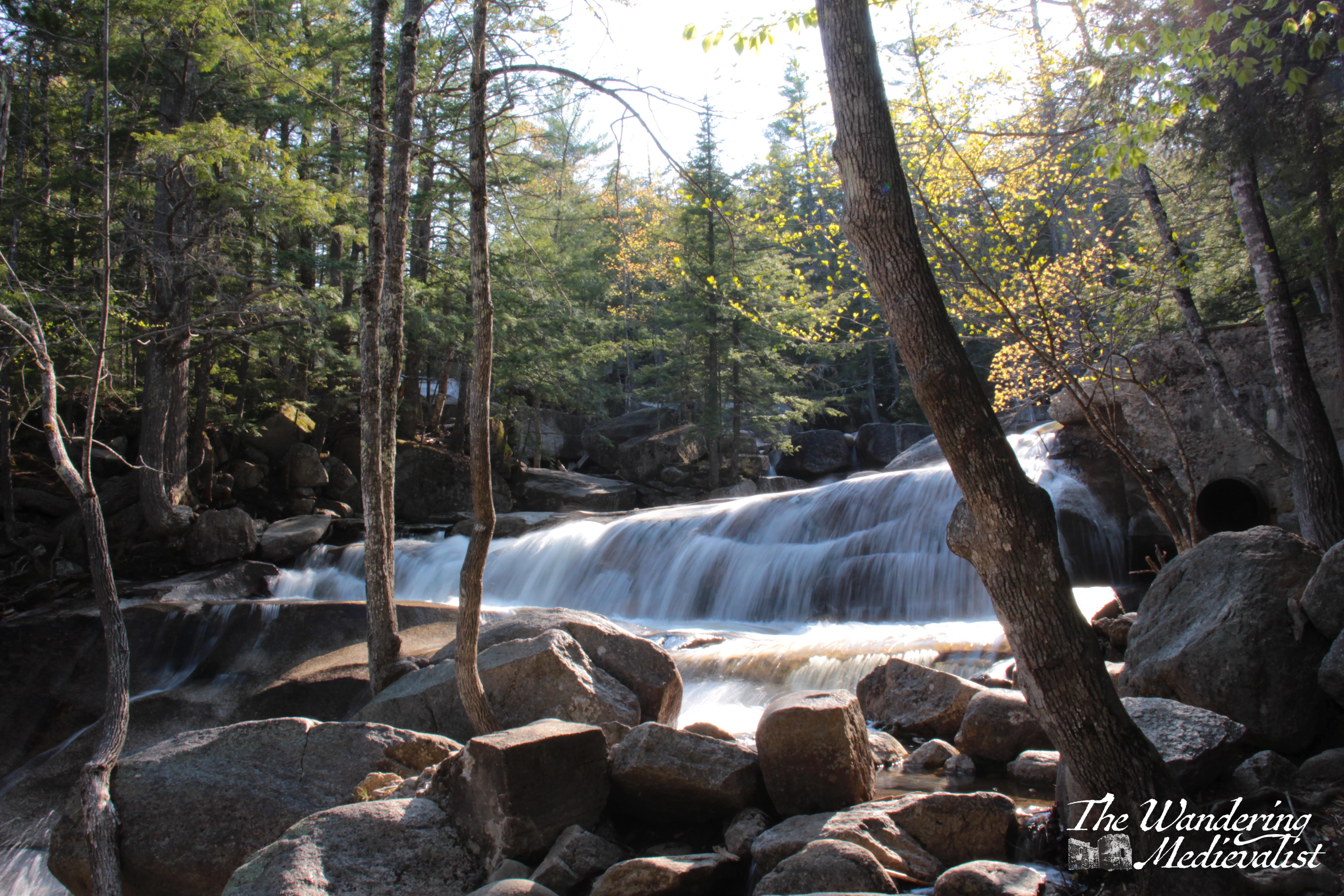
There is a small creek running alongside the path in places, but it is quickly overshadowed by the first hint of the falls – the sound of rushing water, seeping through the trees.
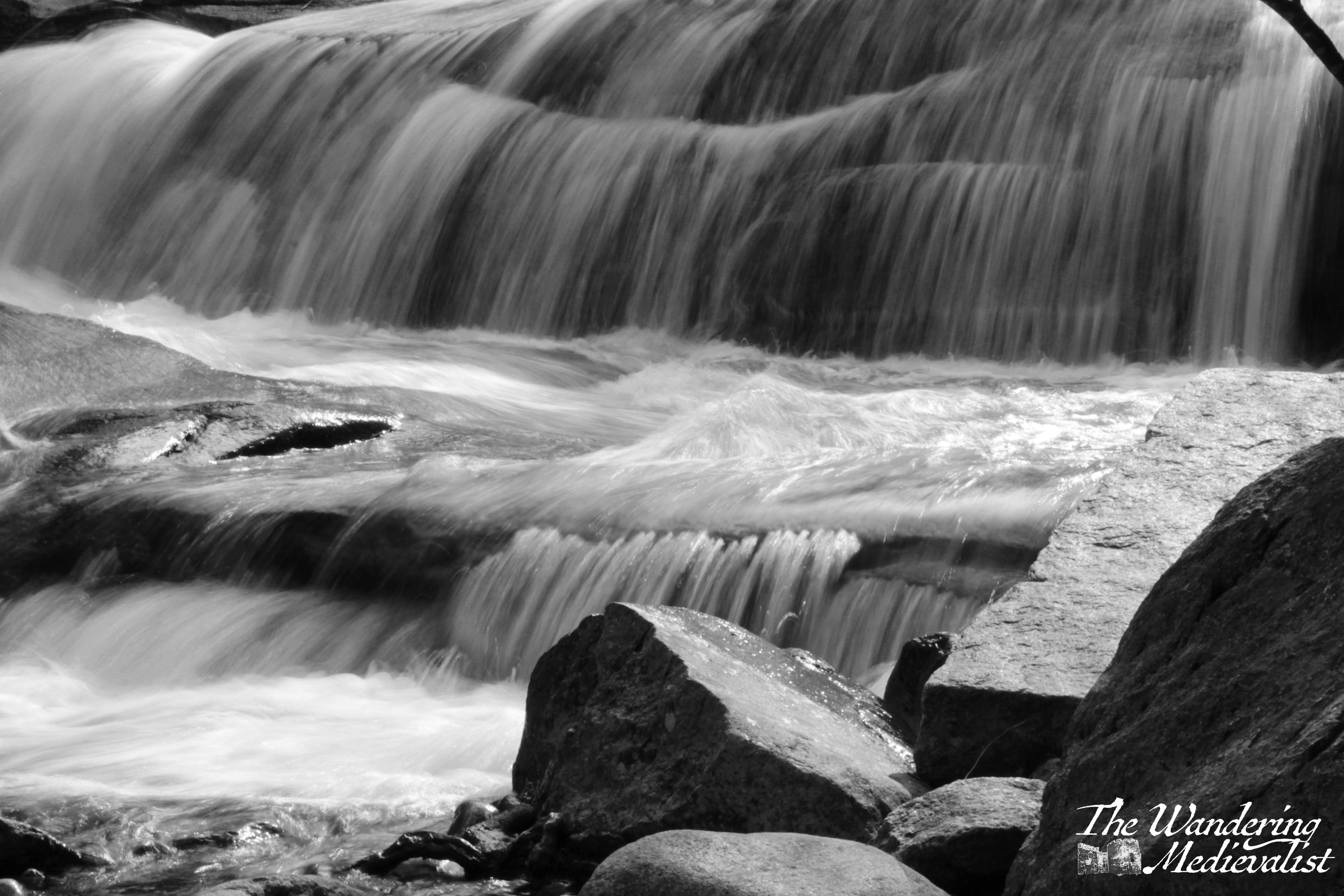
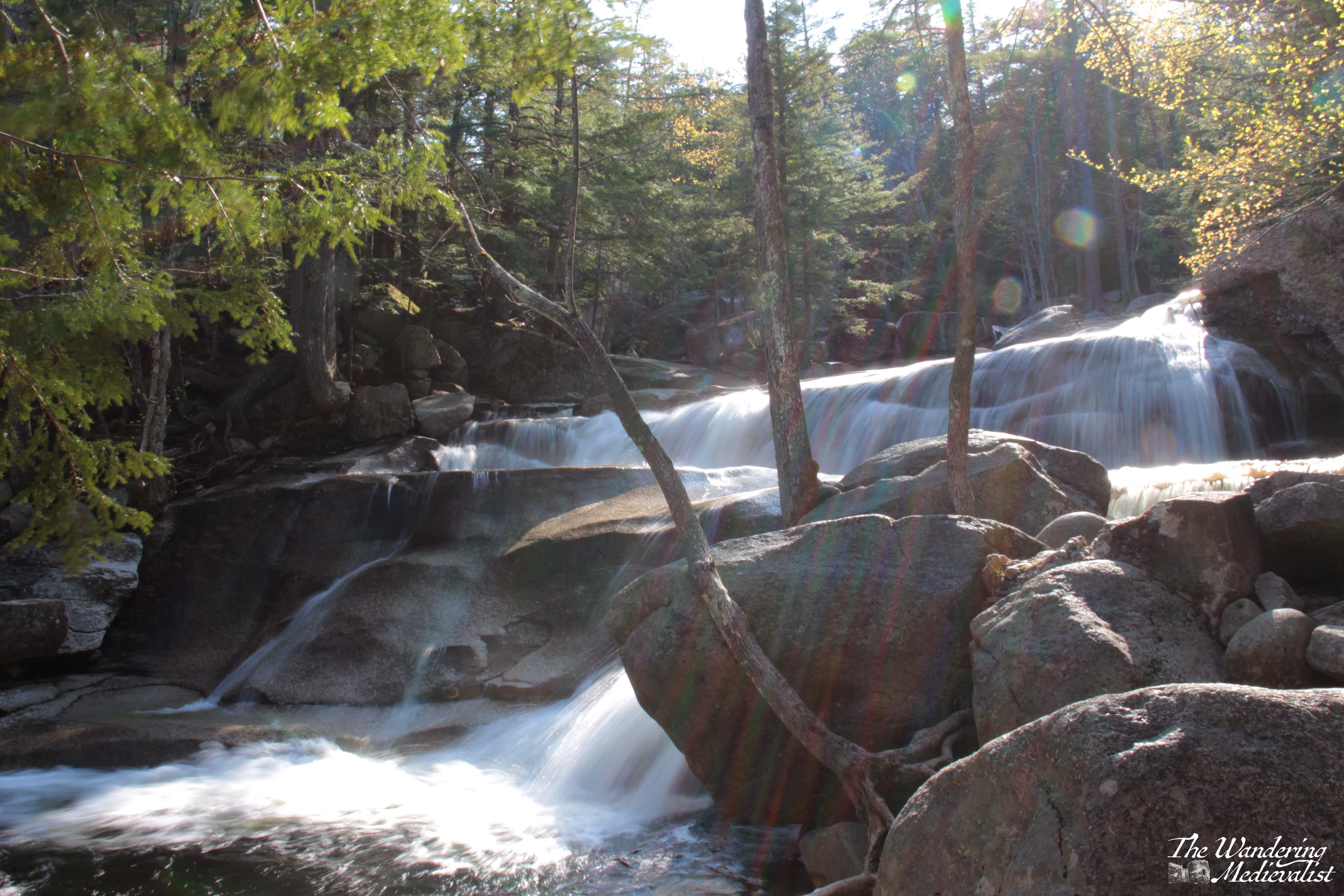
I immediately got excited, as I had brought my tripod with me and had every intention of practicing some rushing water shots. And indeed, once you reach the falls, there are plenty of opportunities. There are, as I discovered to be standard, detailed plaques teaching visitors about the falls, why they are there and their history – the rushing water was used to power a sawmill before being recognised as a tourist attraction in the early 20th century.
When you first approach the bottom end of the falls, you get a splendid view up the river; the trail then follows along with several paths where you can move through the trees to the edge. Even better, there are viewpoints set up with benches and plenty of space to rest – and set up a tripod. One thing we did notice was that, near the river, the biting bugs returned, and I paid for several of the below pictures with mosquito bites!
If it were not for the mosquitos there may have been more pictures, but they were getting quite vicious and we had not prepared properly. So, we quickly climbed to the top viewpoint which looks up the falls, before returning to the woods. Only minutes away from the water, the bugs disappeared again and we enjoyed a pleasant walk back.
Anyone visiting the North Conway area and looking for a short walk, or one that is more accessible for children and those with limited mobility, this is an excellent option.
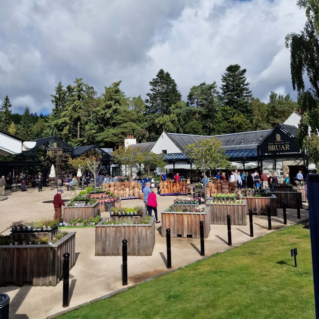
A weekend visit or mid-road trip stop at the House of Bruar is an absolute guilty pleasure, and on a wet and rainy day like today, I often find myself thinking about the next time I can manage to escape north.
The House of Bruar is a bit difficult to explain – it is a luxury goods store that sells everything from fishing tackle to fine cashmere, country styles and deer stalking outfits, fresh produce and plants, and also fine kitchen supplies, Scottish gifts, and much more. There is an extensive fine food hall with Scottish goodies like shortbread, oat cakes, Dundee cake, fine chocolates, sweets and pastries of all kinds, preserves, honey, crackers, cheeses, bread, and a fresh deli with an excellent butcher.
The sausages obtained from this butcher are often reserved for a special occasion and are offered in a great range of flavours. There is also a generous liquor section selling local gin, whisky, beer, liqueurs and soft drinks.
Not pictured: enormous scone
If this was not enough to draw you north of Perth, there is a large café selling fresh-made soups, sandwiches, cakes and indeed whole Sunday roasts; essential to any stop is a coffee and a scone in the covered canteen, where often you can find birds hopping around between the tables.
In short, it is the perfect place for a day out, as long as you set yourself a budget ahead of time. To help with this, there is a sale hall where you can find older styles of clothing and discounted wool and cashmere sweaters and scarves – a must around Christmas time.
Shopping is not the only goal of a trip to Bruar though, for if you bring your sturdy shoes, you can follow the path around to the back of the complex and up into the forest towards the two falls – falls that were immortalized in words by none other than Robbie Burns.
The Lower Falls is a short walk up a relatively easy trail that still enables you to experience the beauty of the woods. It is probably just short of wheelchair accessible, but I have seen plenty of prams and casually-shod walkers attempt it – with varying levels of success.
The path starts along the edge of the river then passes under the train track through a short dark tunnel.
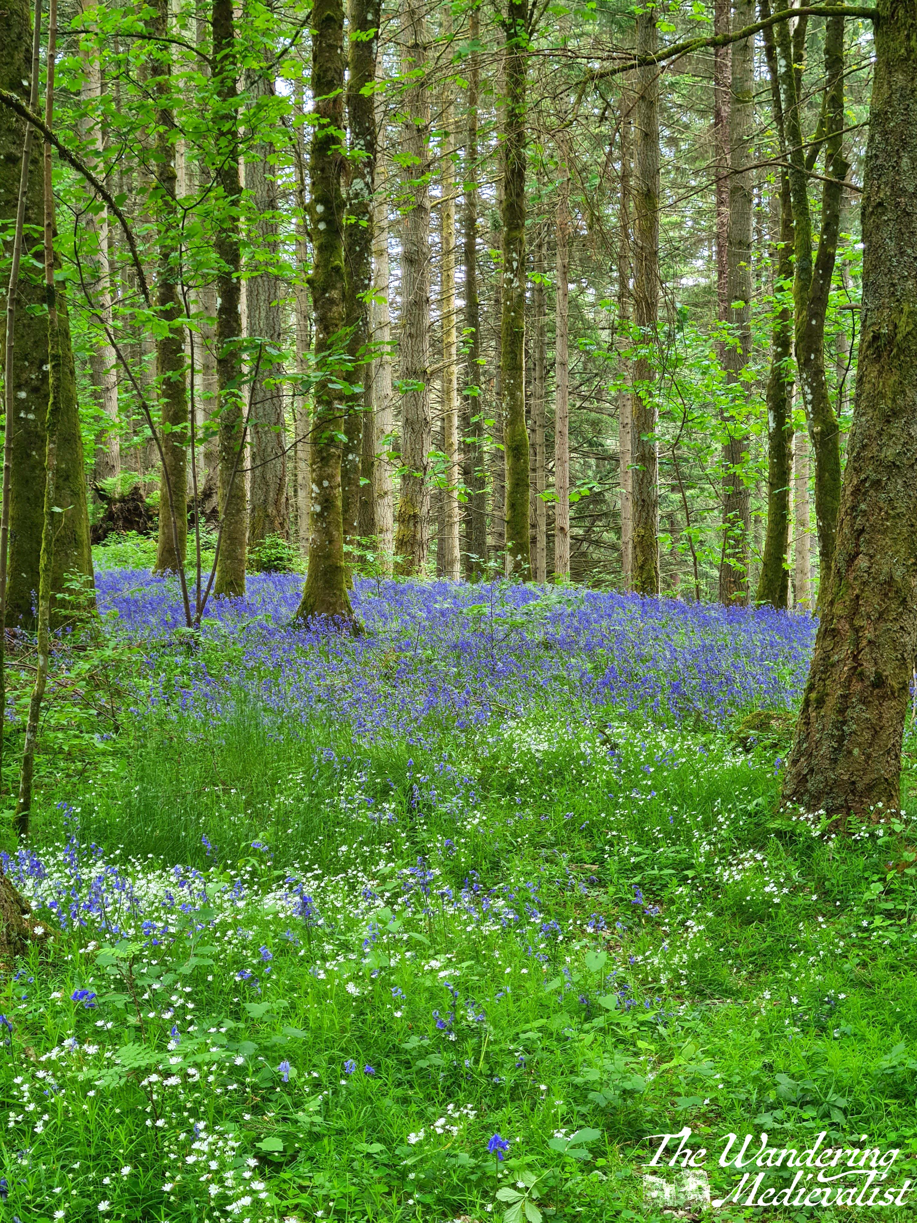
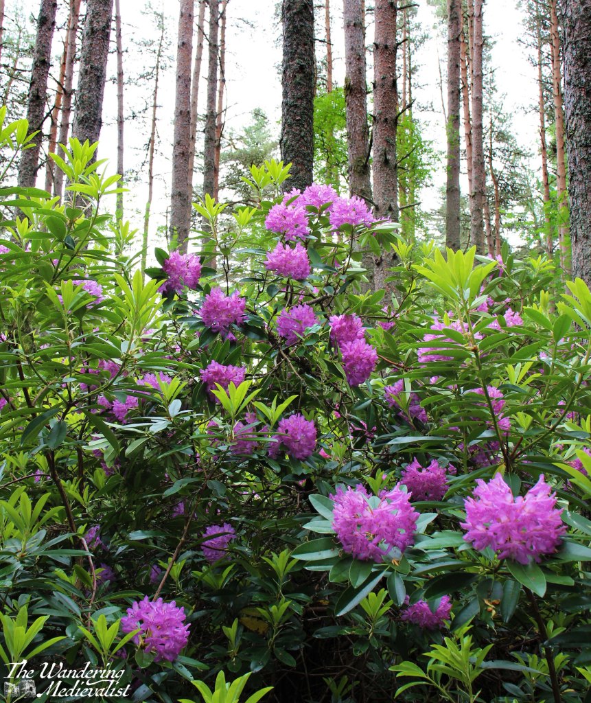
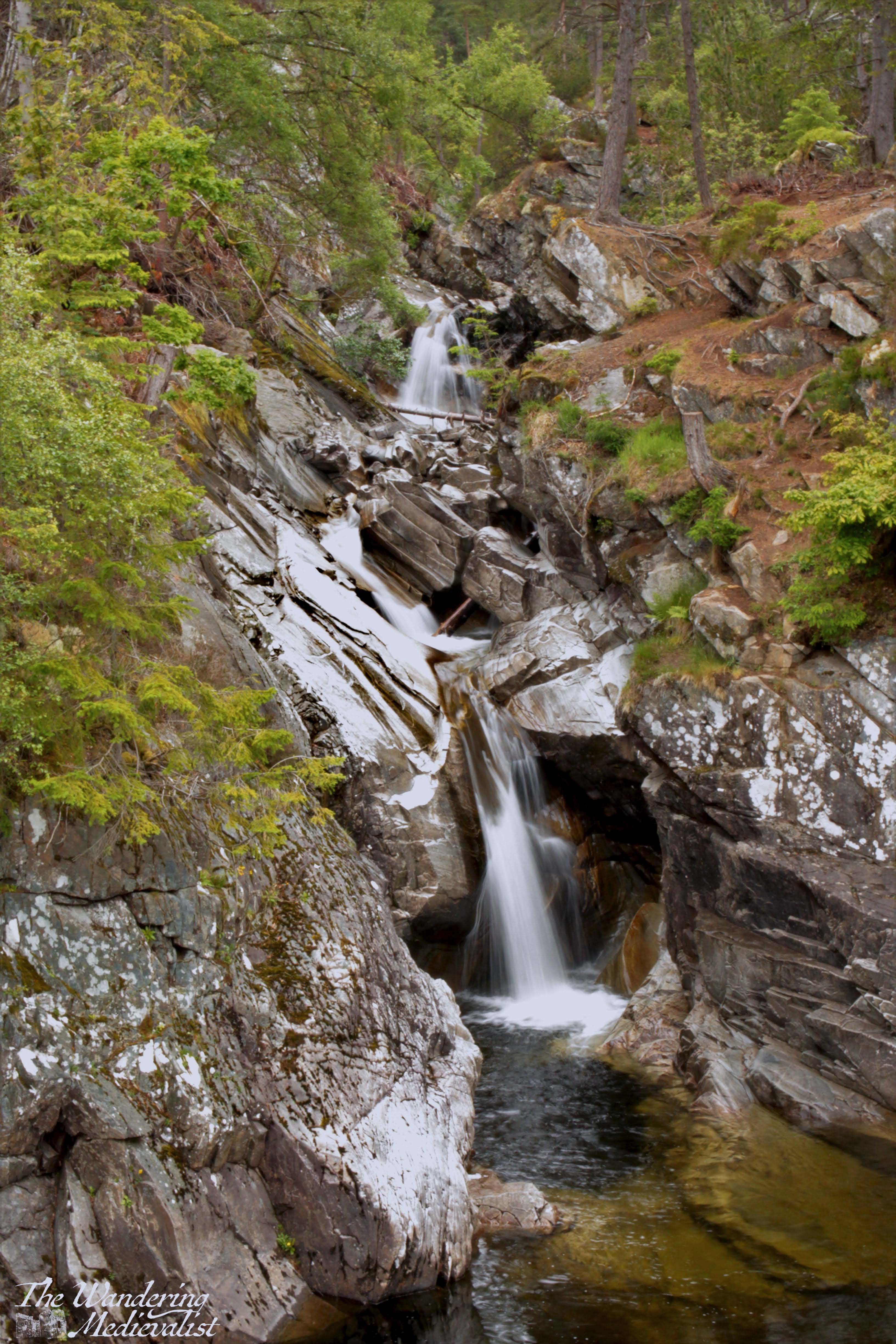
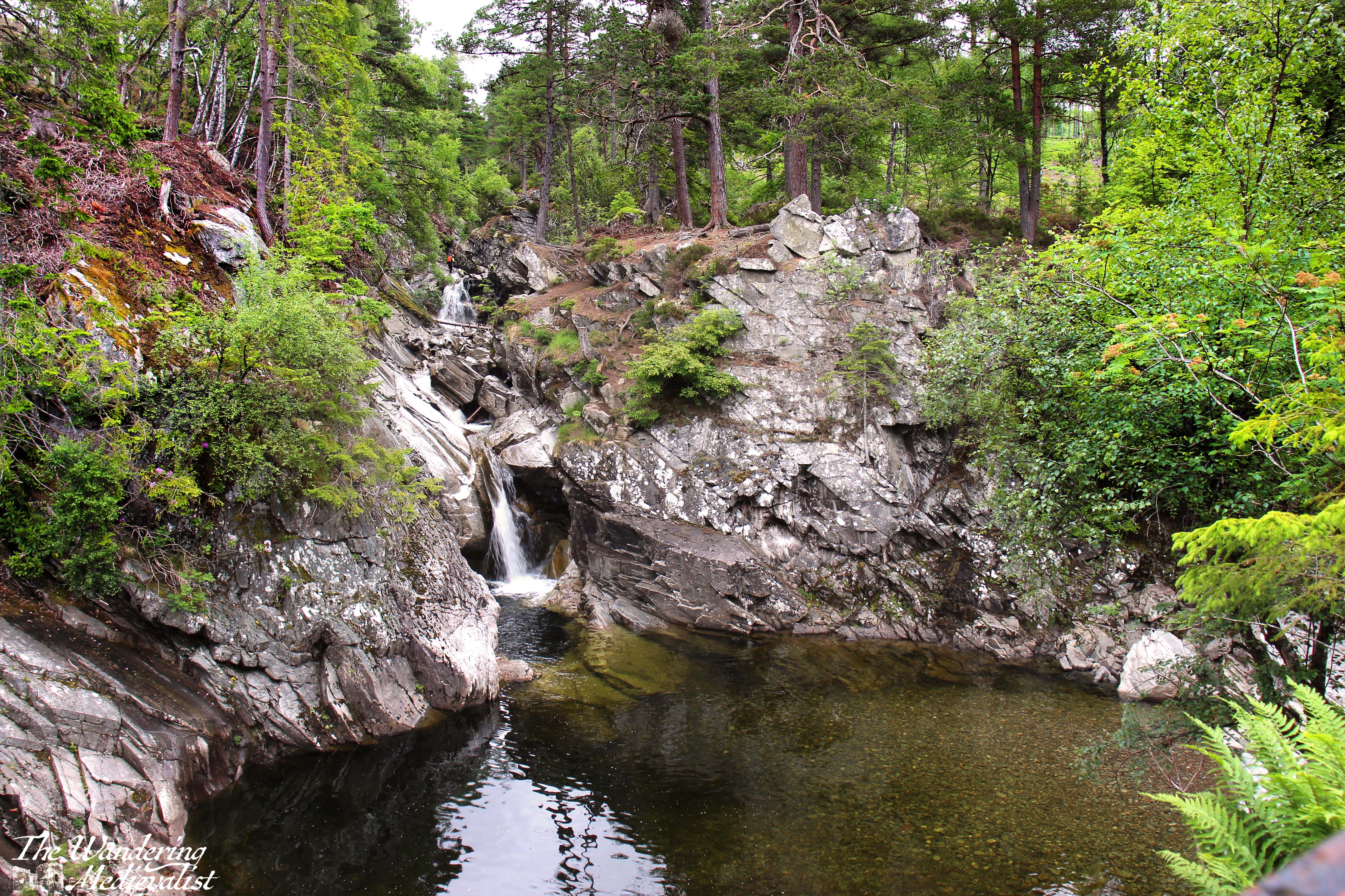
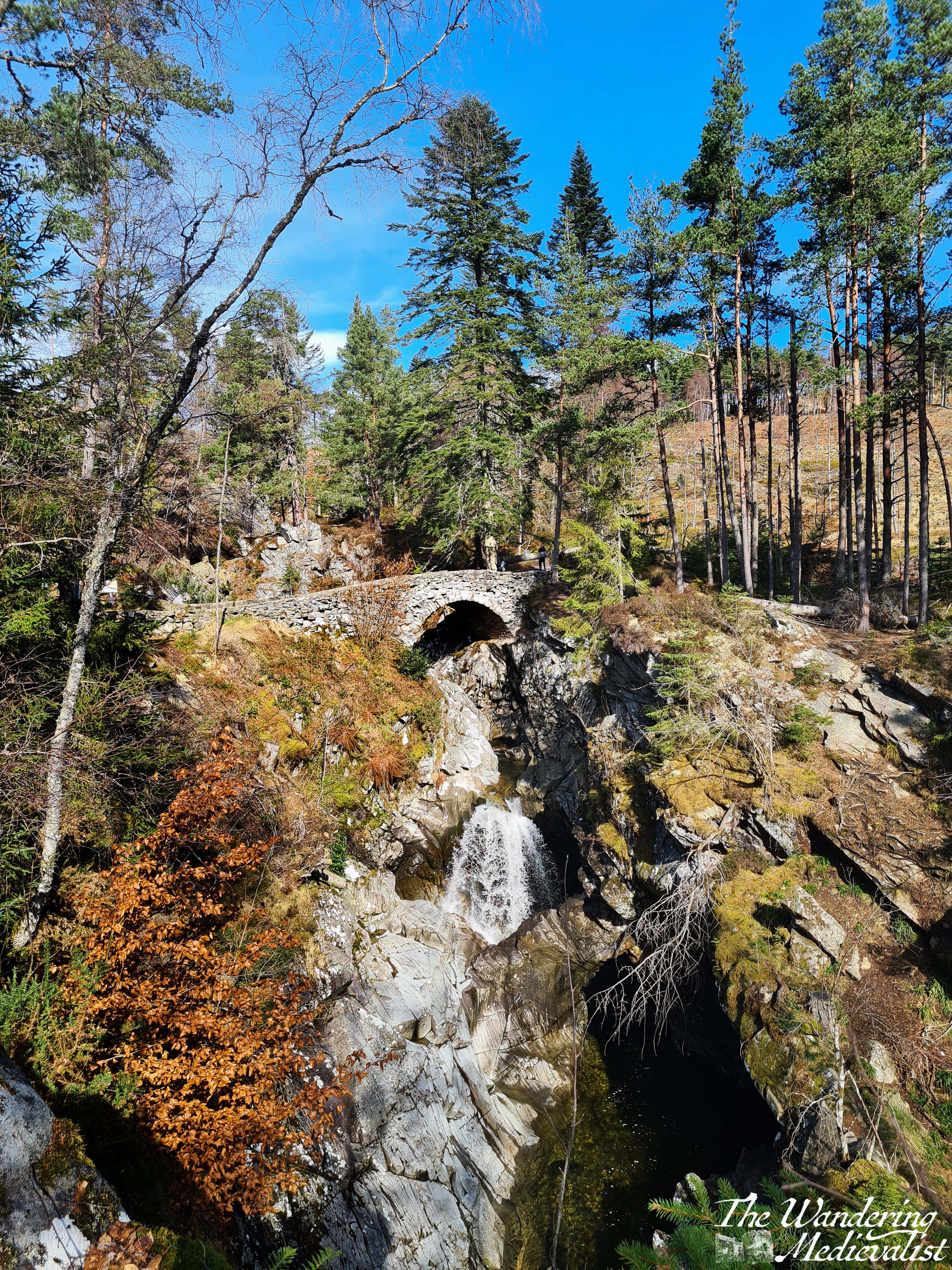
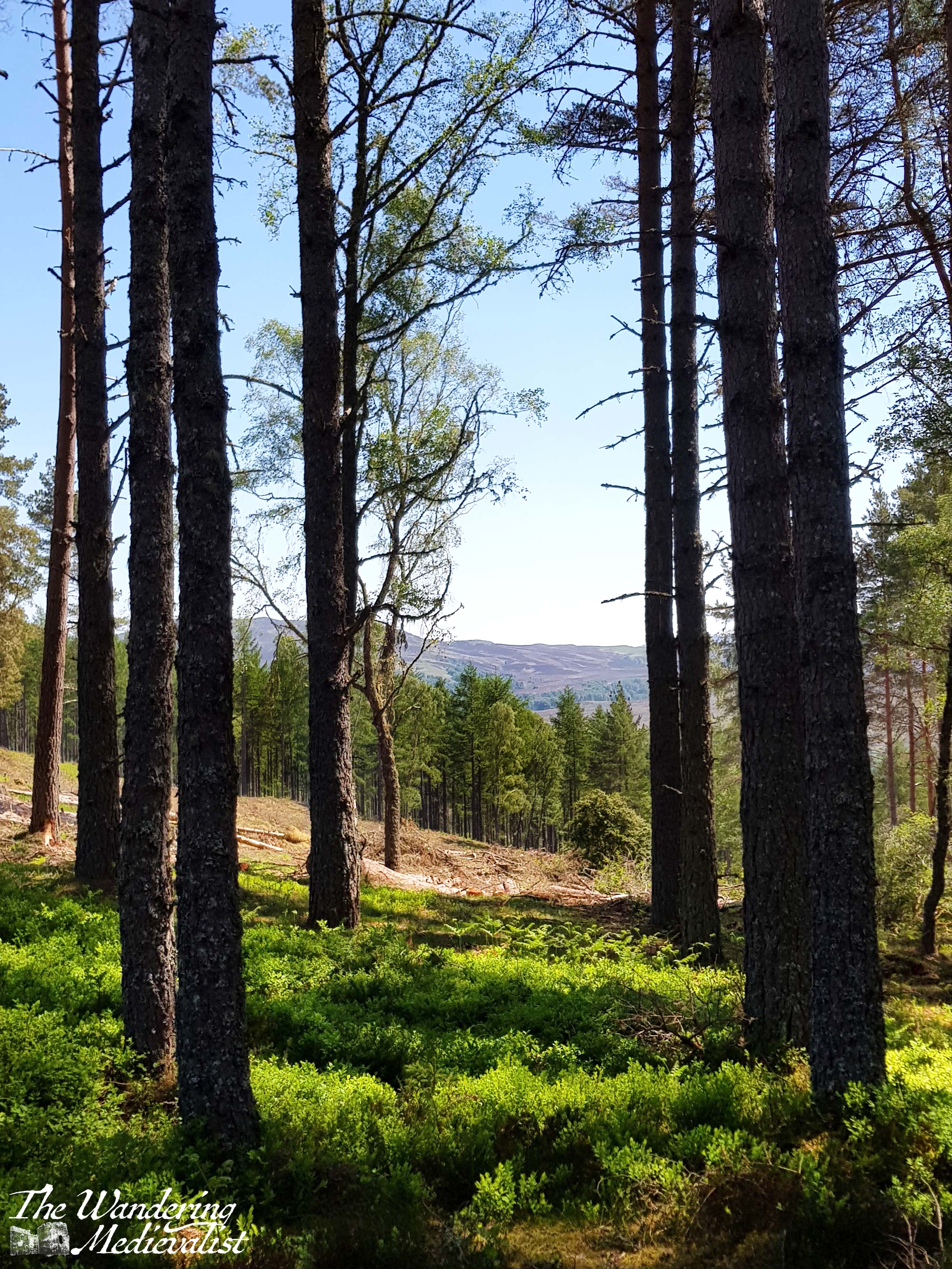
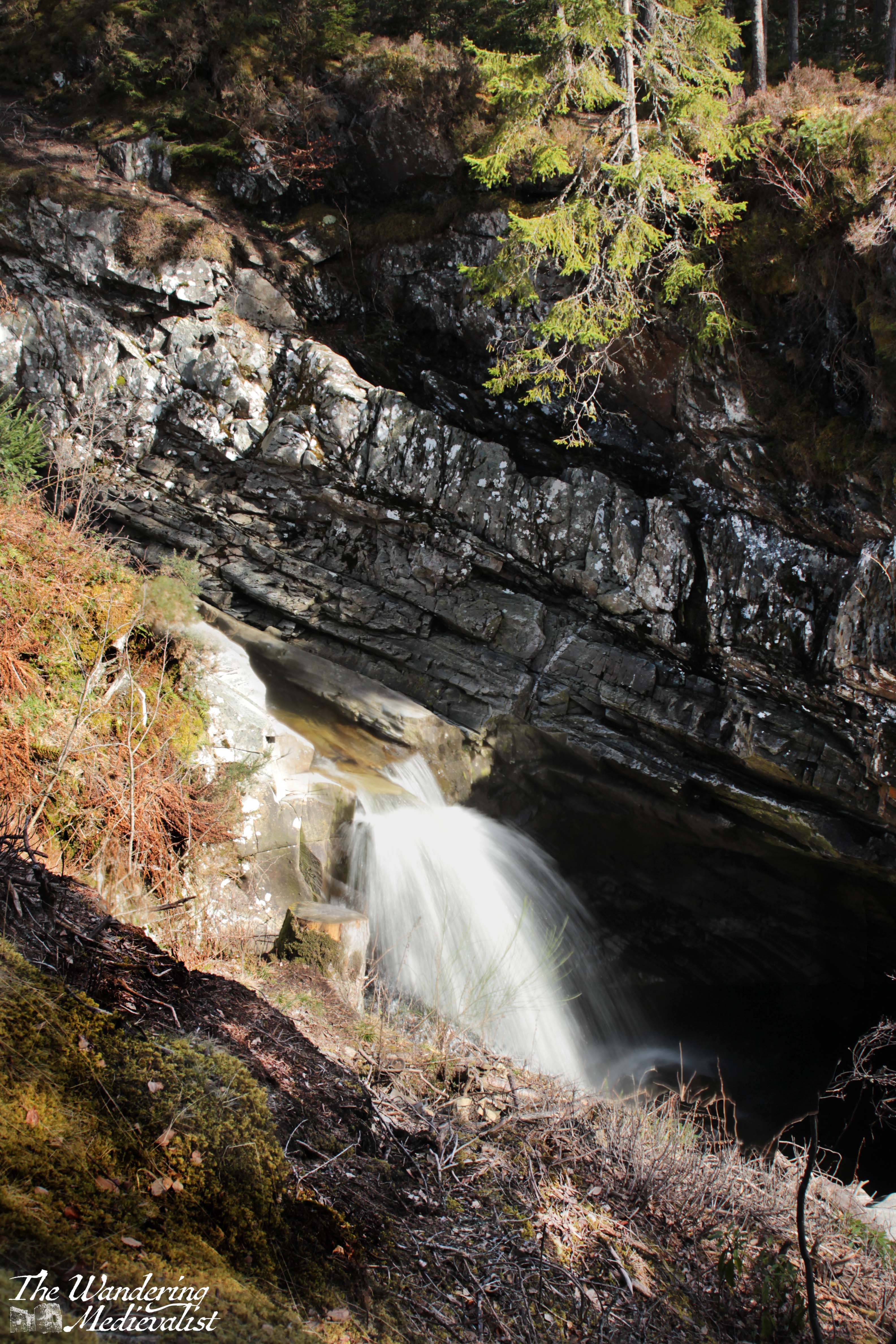
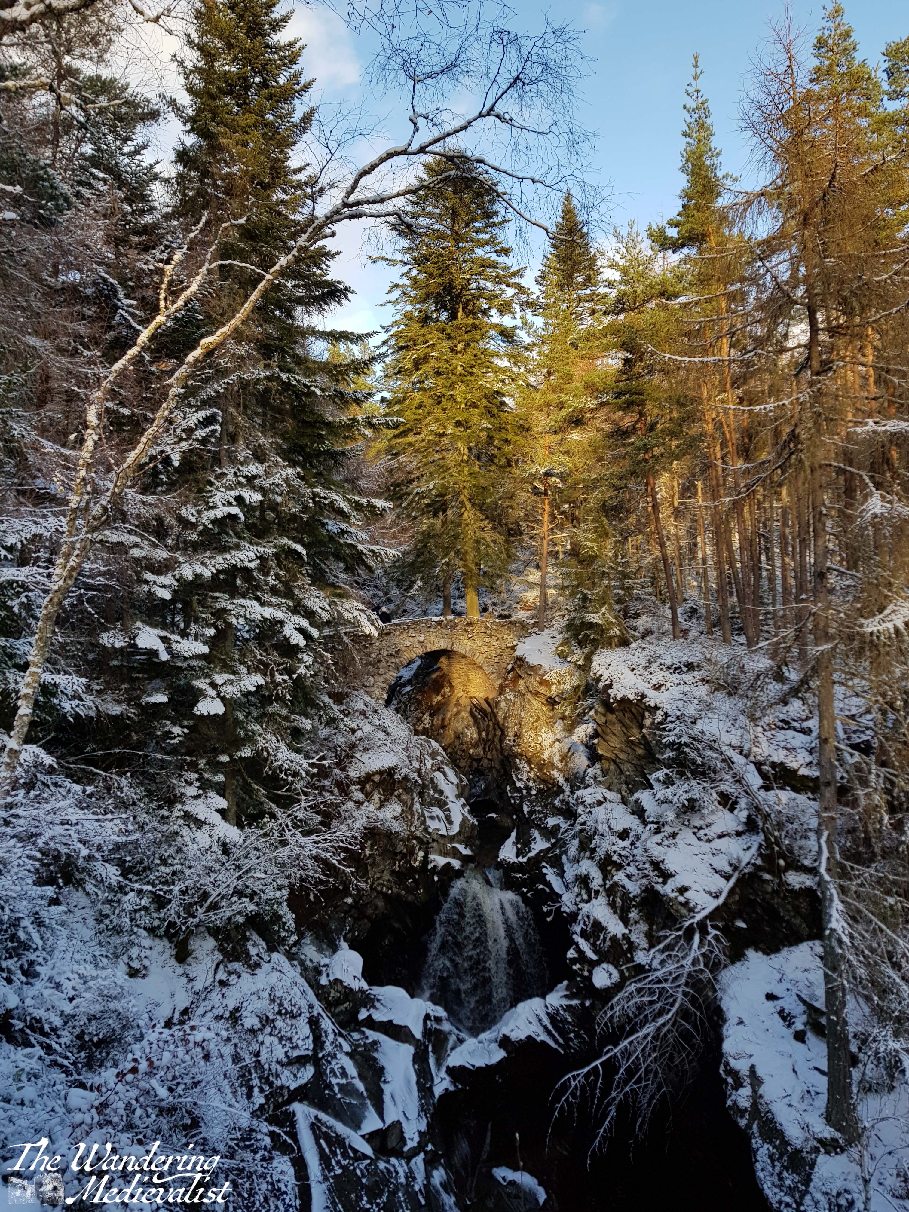
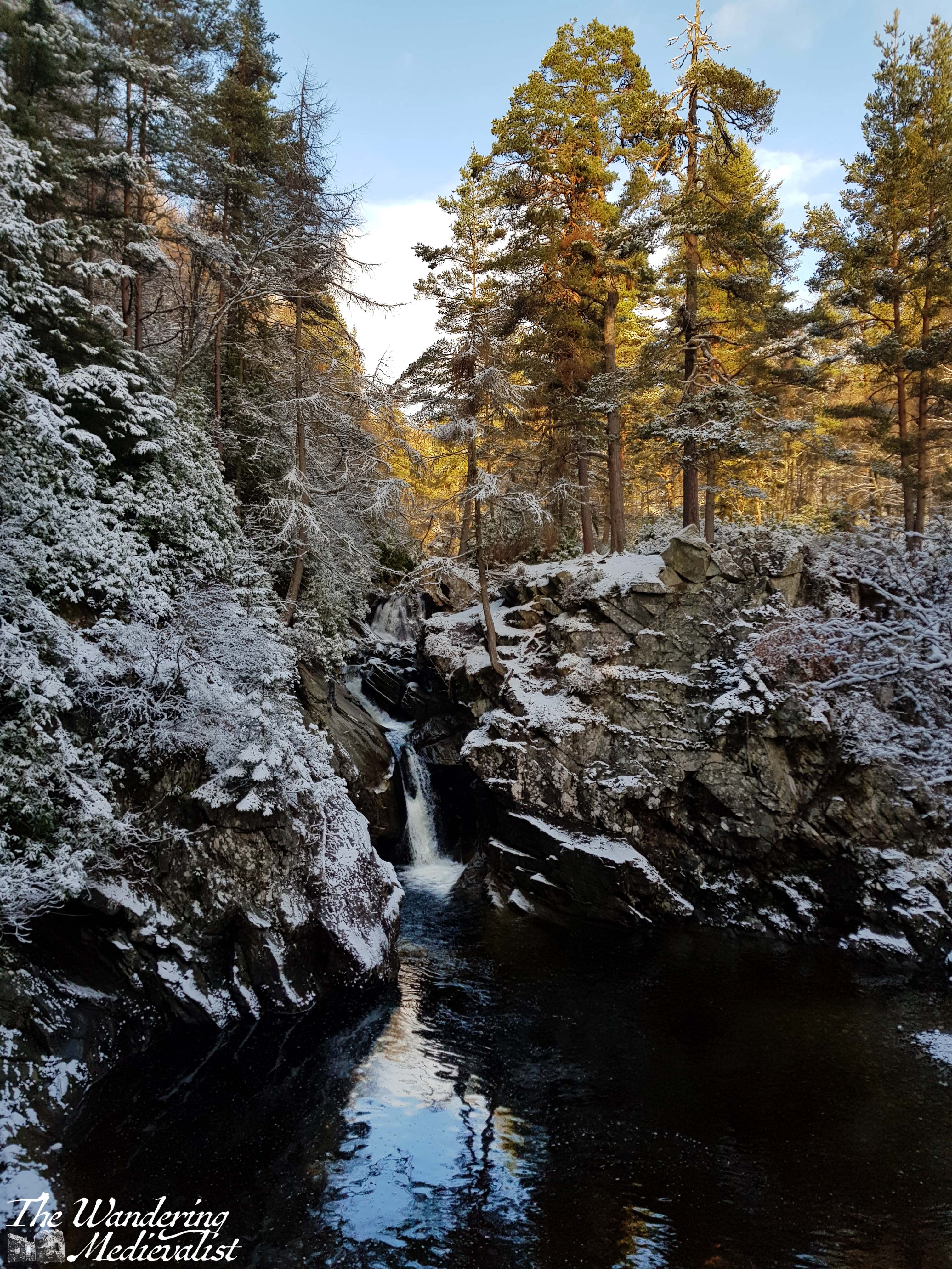
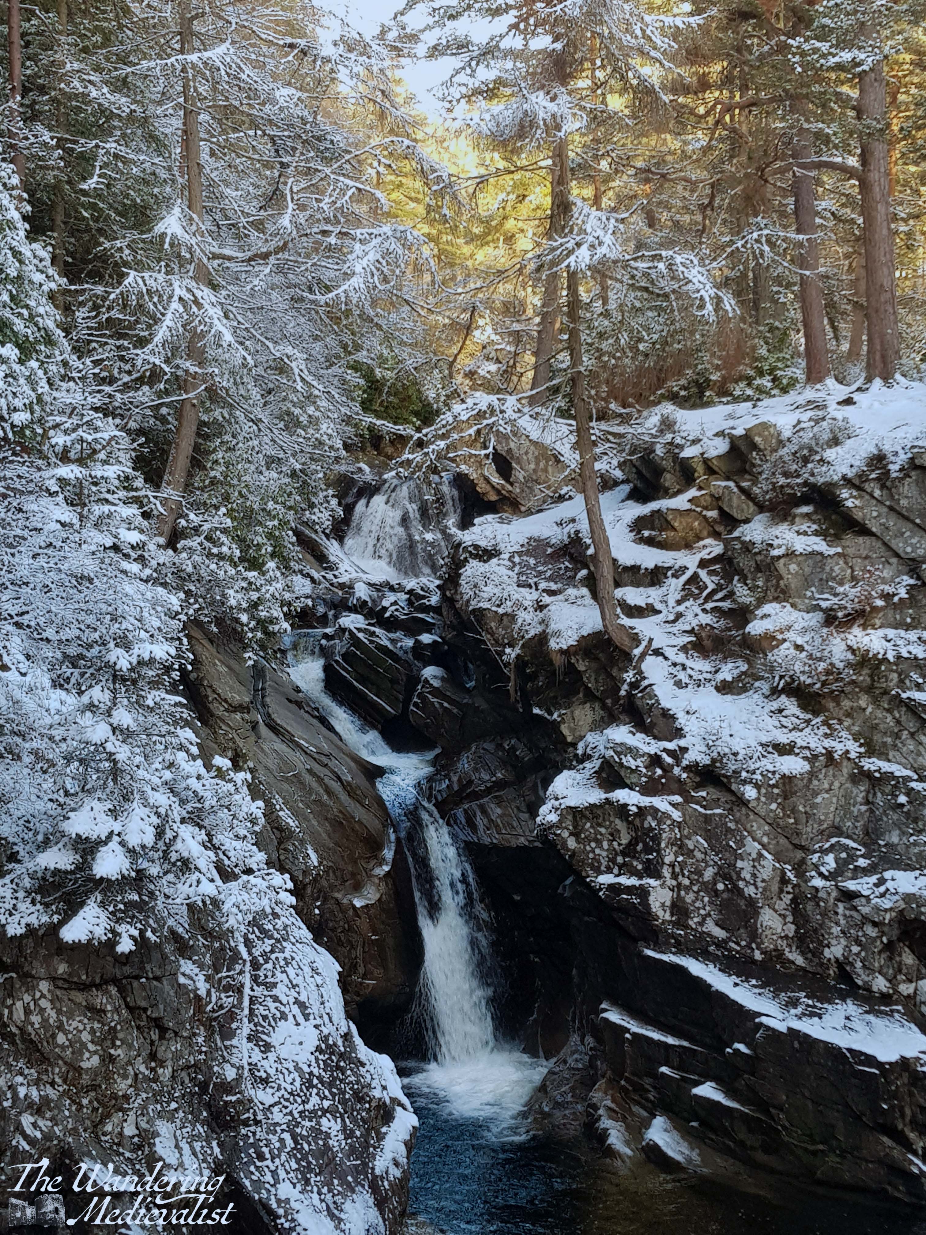
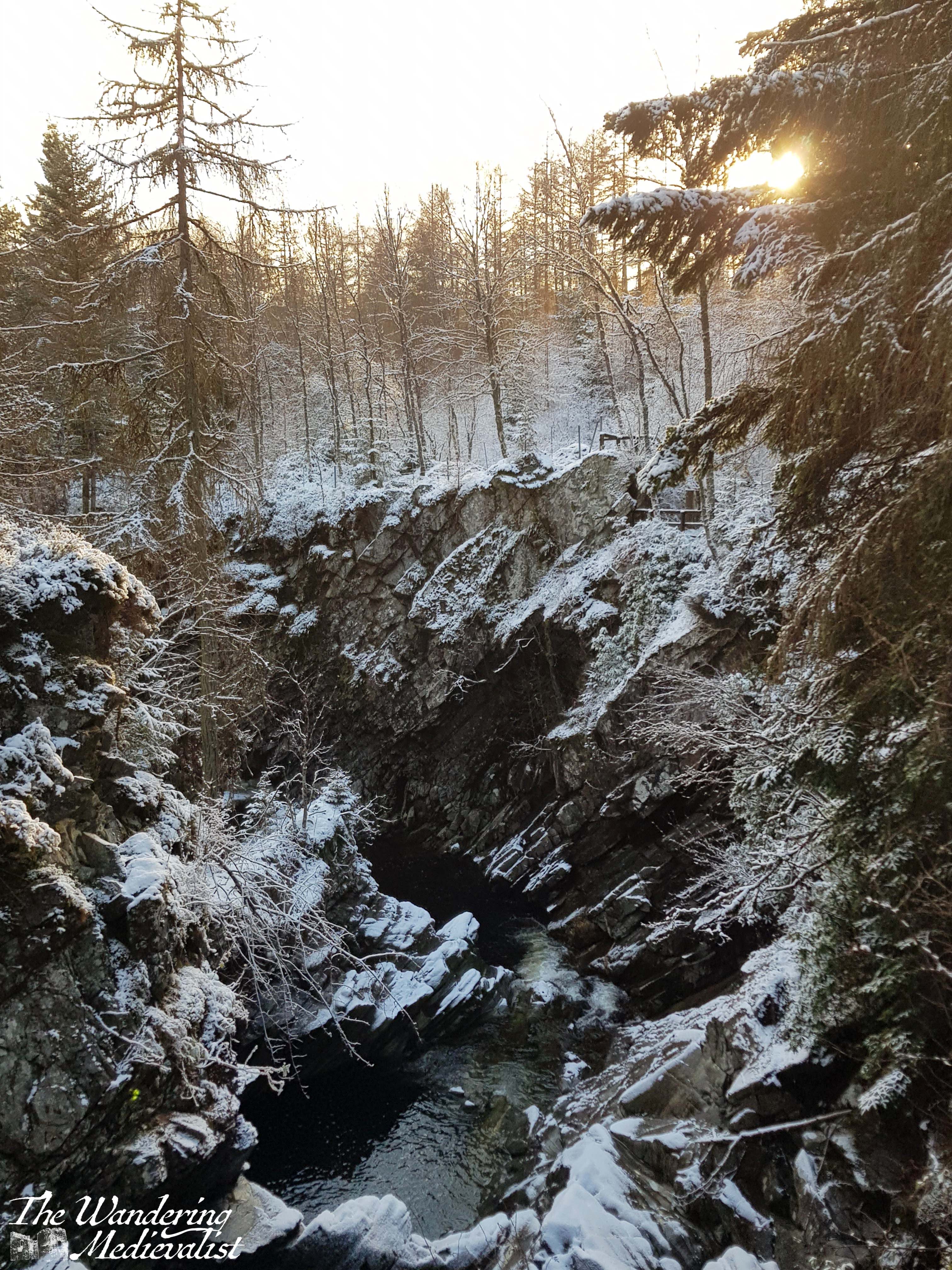
Beyond the tunnel, the trees are tall and straight, the ground gently mossy or covered in pine needles, with stands of rhododendron scattered about, stunningly purple in the summer. Walkers weave gently uphill with the river audible to the right, deep in a gorge that has been carved through the rock. The first viewpoint is just before the bridge and allows for the picture below of the water pouring through the gorge under the stone arch. Just a bit further up one finds the remains of a Victorian view house, which is best spot for the lower falls themselves. Here one often finds children and dogs scrambling around the rocks, and there is a wide, rocky pool, though swimming is not advised. From the bridge you can see the falls or down the river to a spectacular gorge – pictures in the snowy bit below.
For those wishing a bit more of a hike, the path continues up the hill towards the upper falls. It’s a longer walk – around 45 minutes – and quite steep in places, but there are a few benches where one can pause and enjoy the view back over the valley.
I remember very clearly the first time we took this walk, more than fifteen years ago, and many of the trees that graced the hillside have since been cut down due to disease, creating patches of bald earth, particularly on what is the left-hand side of the river, facing uphill – the western side. The story is that it was Robert Burns himself who requested that the Duke of Atholl plant the forest around the Bruar Water, and so while it was required that diseased trees be removed, new ones have been planted to replace them.
A few strong wind storms damaged the path through the pandemic years, bringing down some enormous trees that must have been hundreds of years old. On our first post-pandemic visit we were not able to go as far as we had planned, as the path was completely blocked.
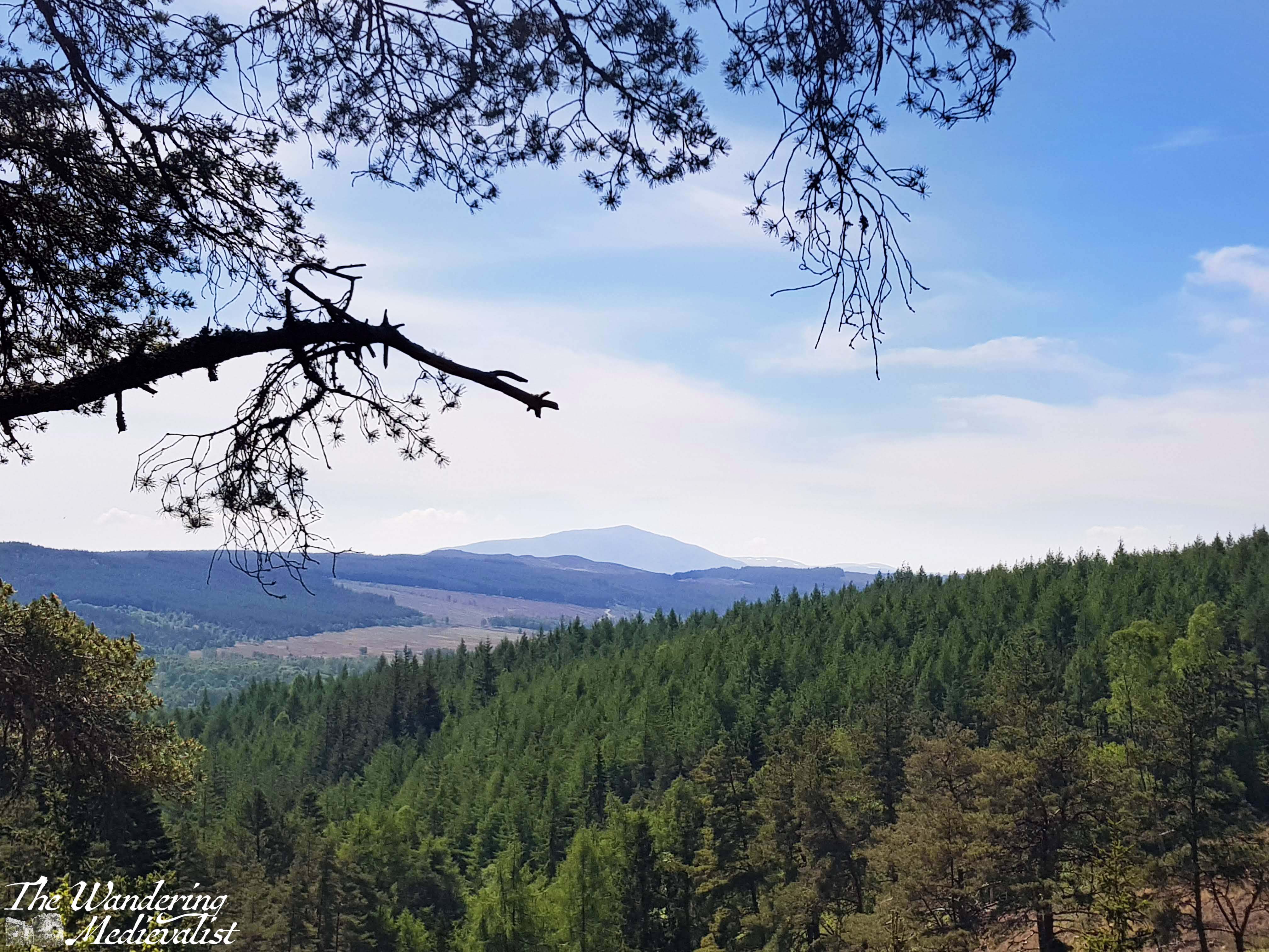
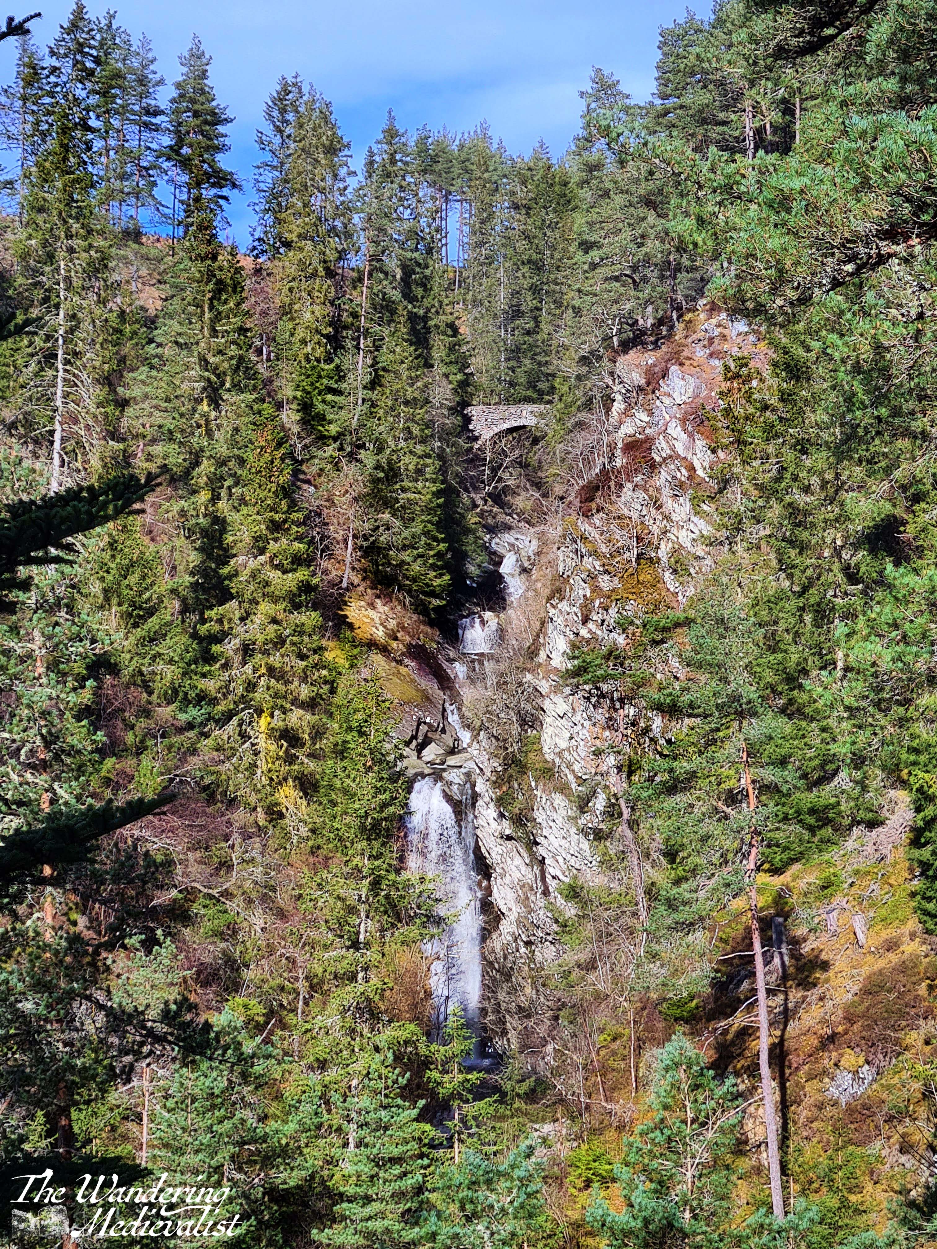
Continuing up the hill is well worth it when safe. As one climbs, glimpses of the upper bridge are visible through the trees, while the gorge cuts away sharply below. Eventually, the path circles down again towards the river and reaches the bridge, where the views are, again, lovely across the forest and valley beyond.
From this point, the path either continues along the far side of the river and eventually completes the loop at the lower bridge, or you can choose to return on the eastern path which is a bit more picturesque as the western slopes were those most dramatically cleared of trees.
In the autumn the few deciduous trees tend to turn orange-yellow to match the golden larch. In warm months, the greenery is lush and often colourful, but by far the most beautiful visit we ever had to the Falls of Bruar was in December. It was a completely unplanned trip that came into our heads one Saturday morning when we realised we wanted to get a new Christmas ornament for our tree, and quite fancied some nice sausages from the butcher. While Fife did not have any snow, we discovered as we drove up the A9 that the area north of Perth had experienced a dusting. We had planned to at least walk up to the Lower Falls – we almost always do – but thought we might run out of light before we could go further.
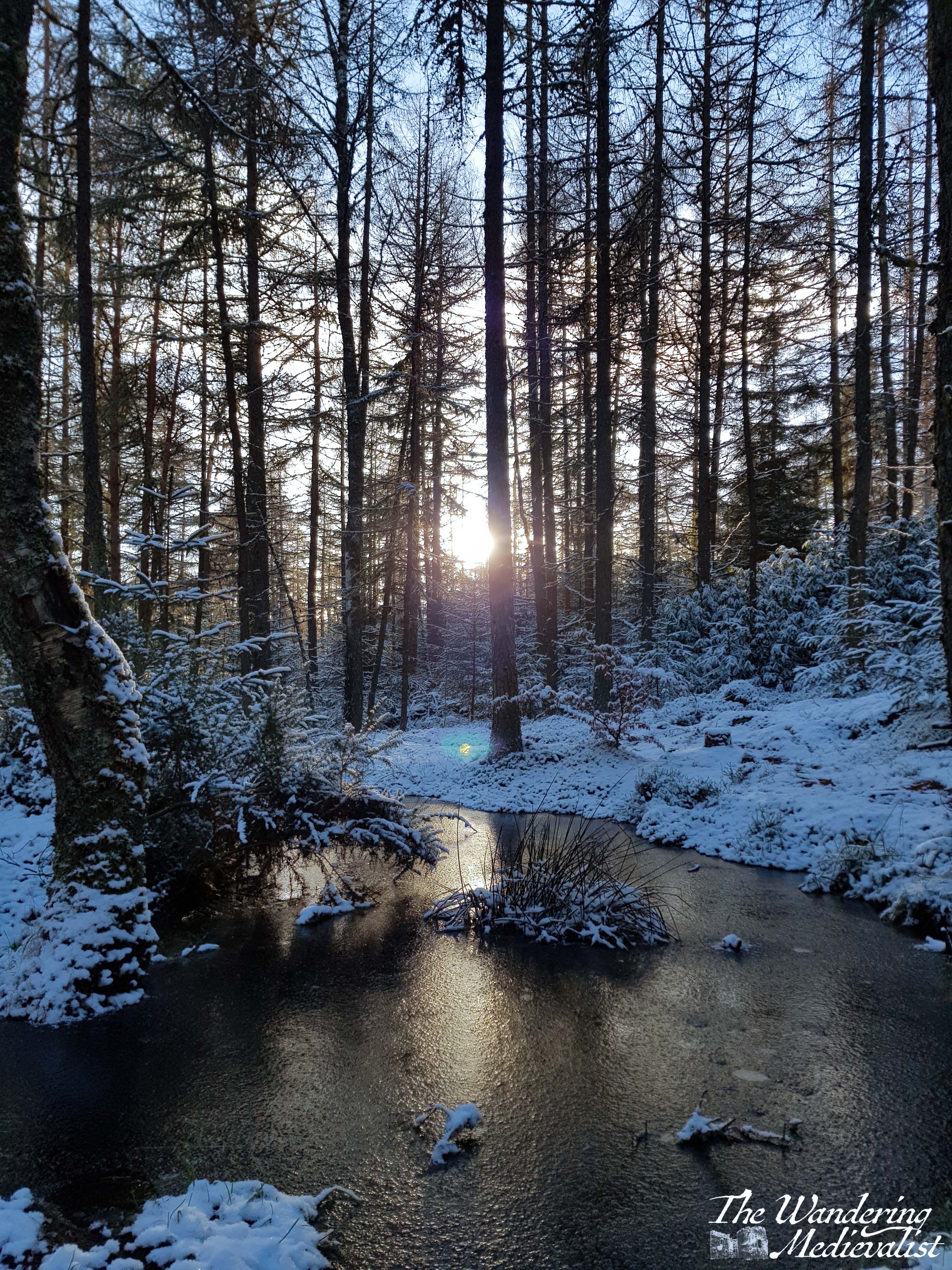
After a short tour through the food hall, we stowed our purchases in the car and headed up the path into a winter wonderland. The snow and afternoon sunlight – in December the sun sets not long after 3.30pm – made for an absolutely breath-taking walk, with so many stunning views that I can never decide which I like best.
It was with real regret that I eventually agreed to return to the food hall for a coffee and scone, delicious though both were. I have always desperately hoped that I might have a repeat of this snowy visit, but even in December 2022, when snow blanketed the whole country, I missed it here by about 12 hours.
There are a few caveats to visiting the House of Bruar: firstly, you may well run into coach trips full of tourists, or large groups of well-off visitors with very little consideration of those around them. Secondly, it is frequently very busy, meaning that even a mid-trip stop to use the facilities and pick up a snack can eat up 20 minutes. And thirdly, it is expensive – one has to be realistic about what one intends to spend, and realise that even a bottle of water is likely to cost double what it might elsewhere (though the quality of what you buy here often equals the cost).
Like so many places in Scotland, Bruar holds a connection for me that is both one of beauty and one of memory; the other half and I visited the House of Bruar on our first ever weekend away together to Pitlochry and I stop here at almost every chance I get, certainly on any trip along the A9. Even if I do not have the time to manage the full climb to the upper falls, a trip to Bruar is the highlight of any weekend or week. I am already planning a return visit closer to Christmas!