During my last trip home, I was fortunate enough to experience decent weather, and I had just enough time each day to go out for a walk. I revisited many of my old haunts and walking routes, and was pleased to find many of them not hugely altered.
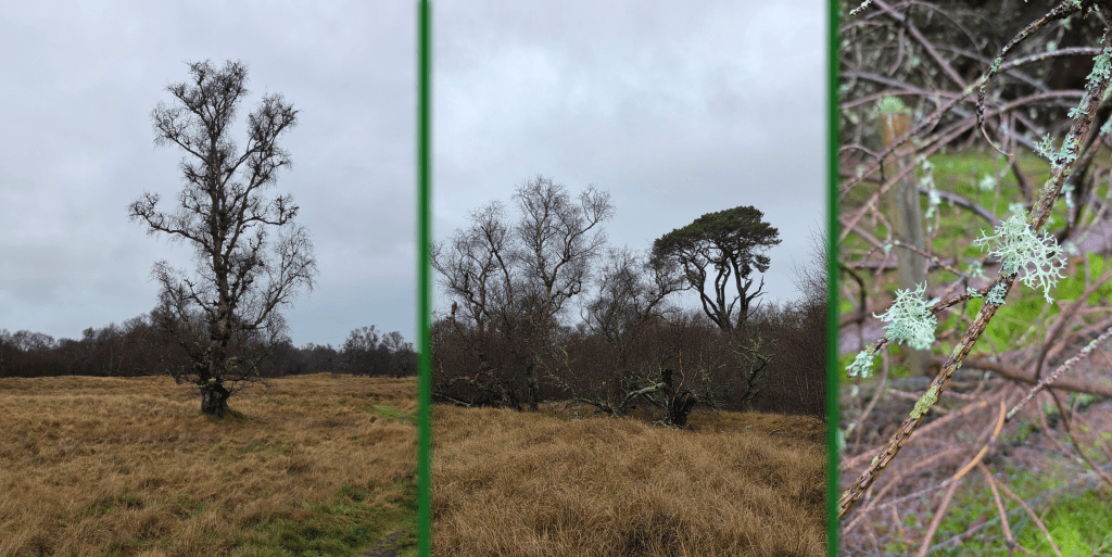
Steer Swamp was a popular walk location for Mum and I and the dog many years past, as it offers a nice woodland area not too far from where we lived, and enough winding trails that the dog got some exercise. Plus, she was able to wander freely and sniff to her heart’s content (would not let her off the lead now, but that was the 90s). In the autumn it offered bittersweet for cutting to decorate a small wreath, and in the spring and summer was sheltered from the sun. In the winter, as you will see below, it is a touch on the stark side, but on a sunny day even mostly-dead trees and rocks are lovely.
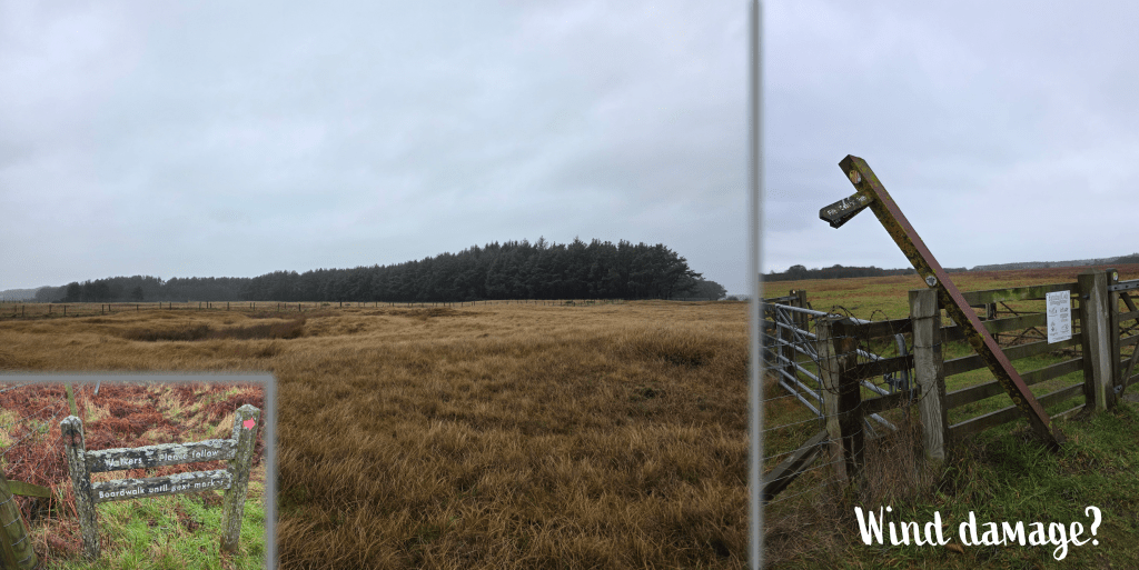
Another advantage to Steer Swamp (or disadvantage, perhaps) is that there are plenty of criss-crossing paths and varied places to enter the conservation area, so it is easy to access. Or, to get lost. Though the Marblehead Conservancy site has a detailed map, which I only found later.
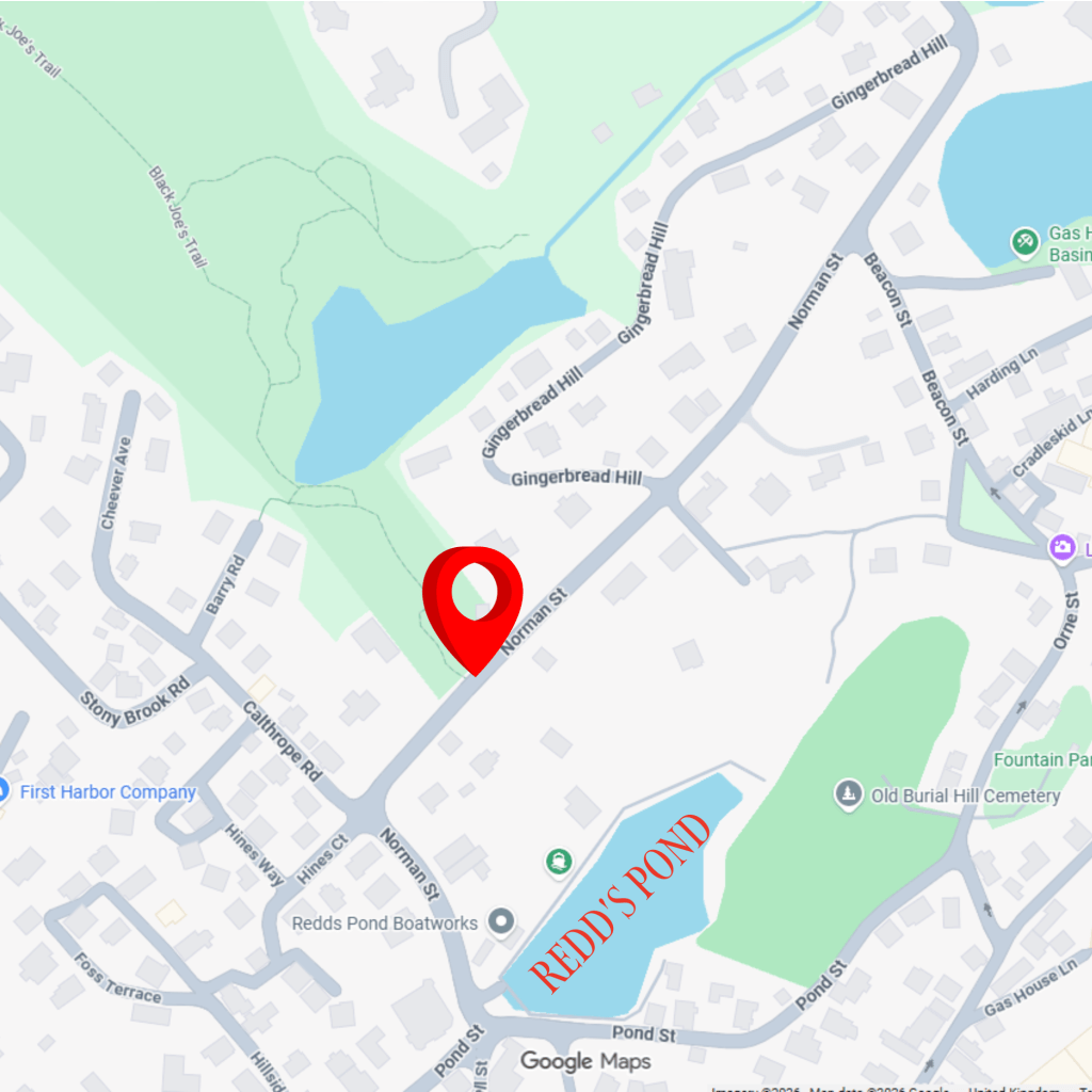
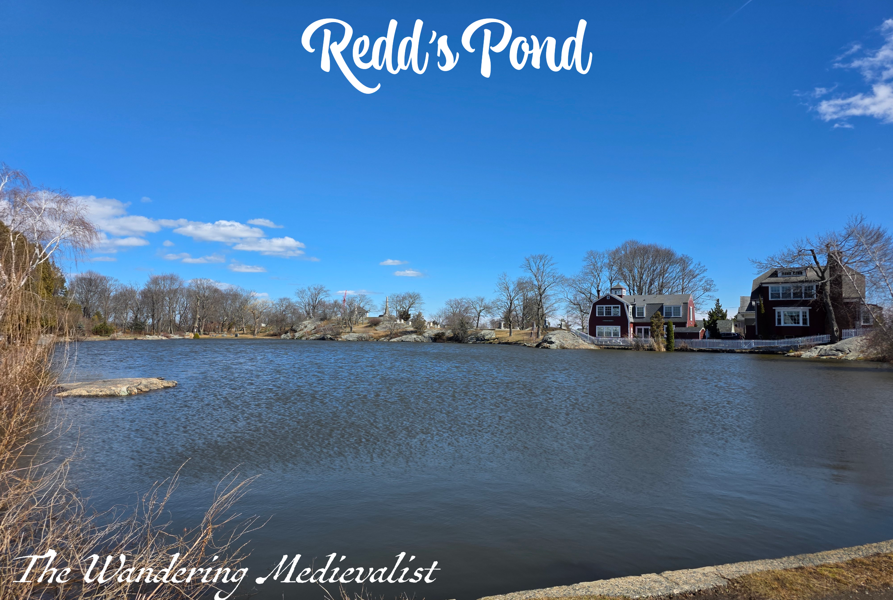
I chose to enter at Norman Street just around the corner from Redd’s Pond, which is a convenient starting point for those not familiar with Marblehead.
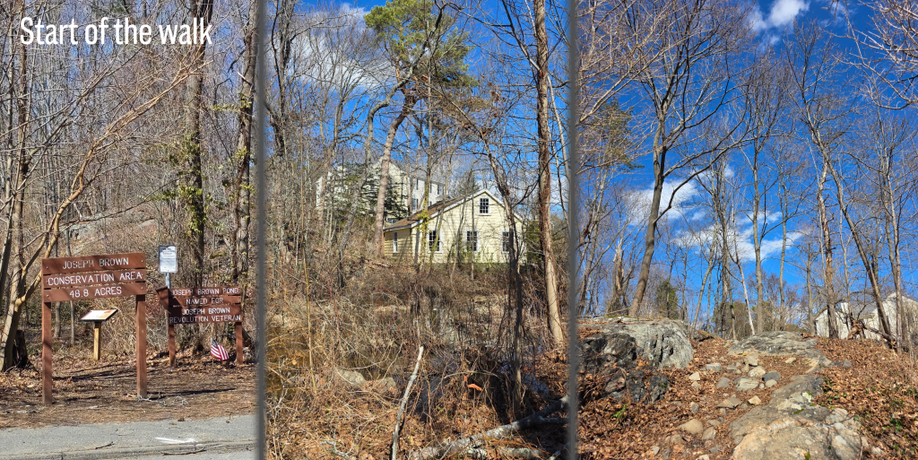
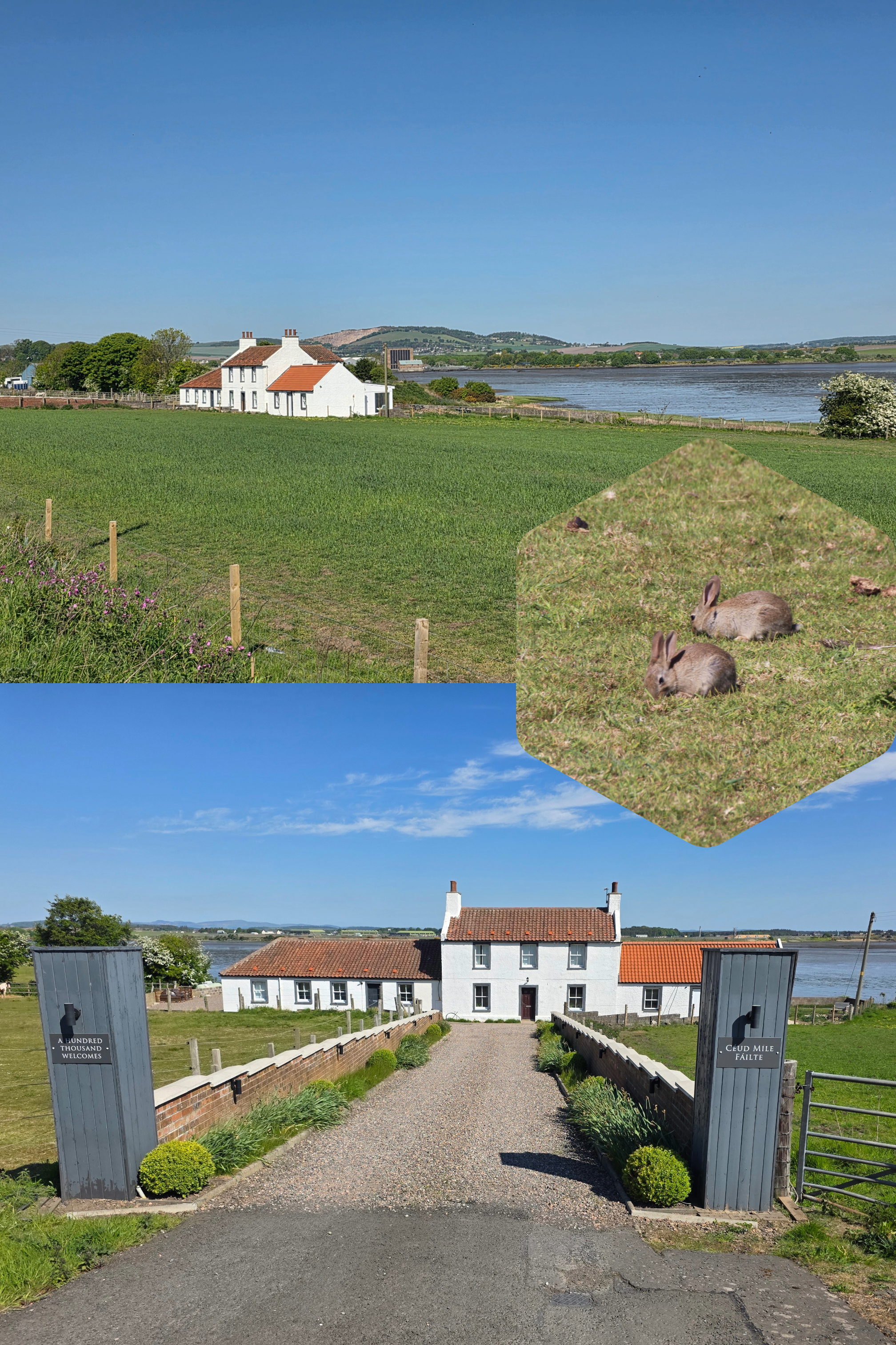
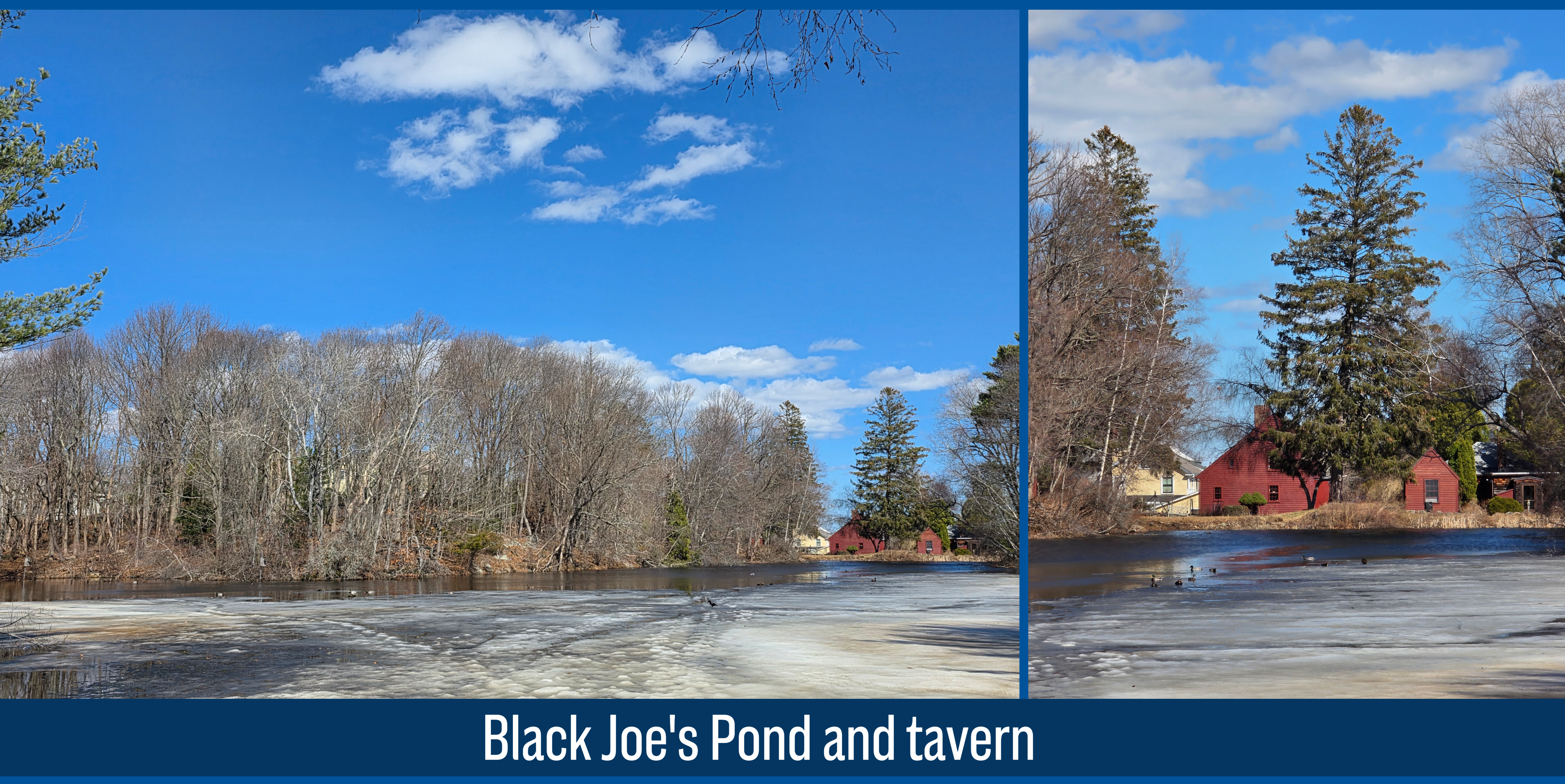
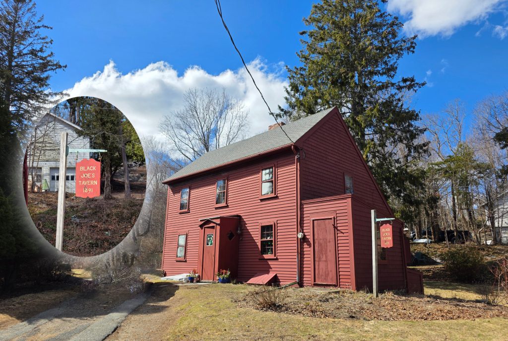
As you can see, there is a clear marker here, designating the area as the Joseph Brown Conservation Area. As I have discussed in other posts, the names here have changed in the last 20 years, moving away (very appropriately) from the terms used since Joe’s lifetime in the late 1700s. The pond still seems to be known primarily as ‘Black Joe’s Pond’, and the Tavern by the same name, though anyone digging into Marblehead history will find plenty of issues with both. The Marblehead Museum has a fantastic page on Joe and his wife, Lucretia, should anyone be curious about the history.
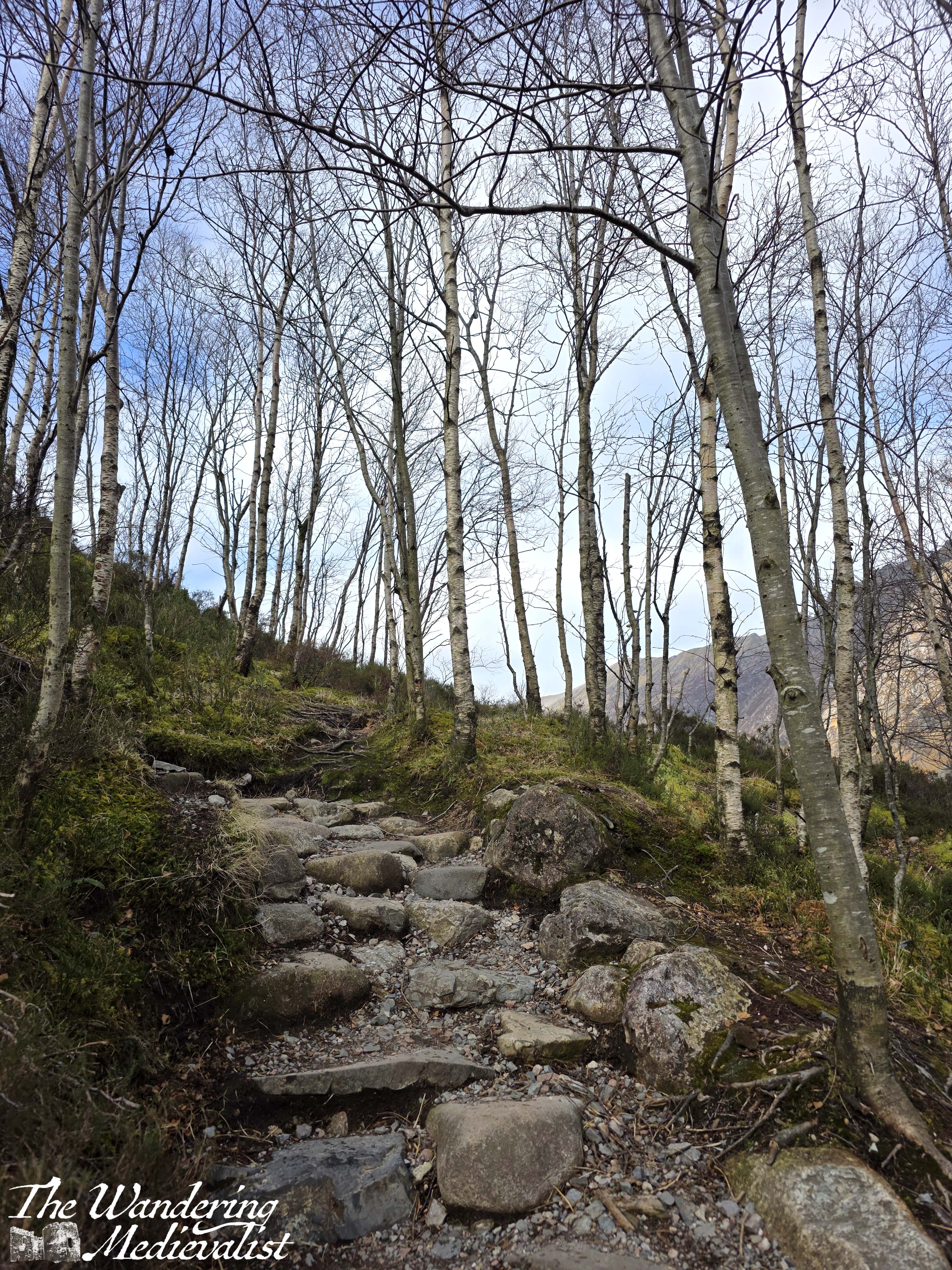
The path heads straight away from the road, skirting around a muddy area before heading up the side of a rise on a rocky, uneven path. My sneakers were in danger of becoming a bit sodden and muddy, but they were the only shoes I had with me.
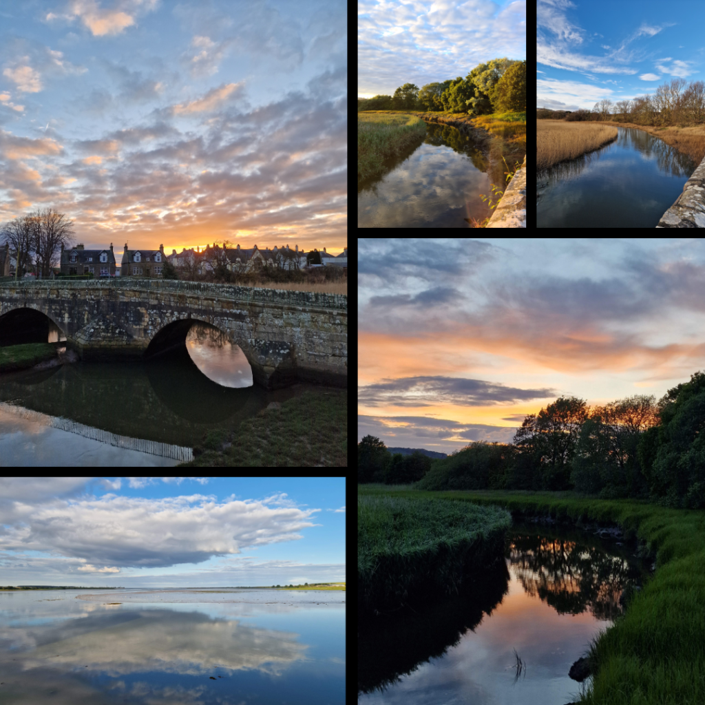
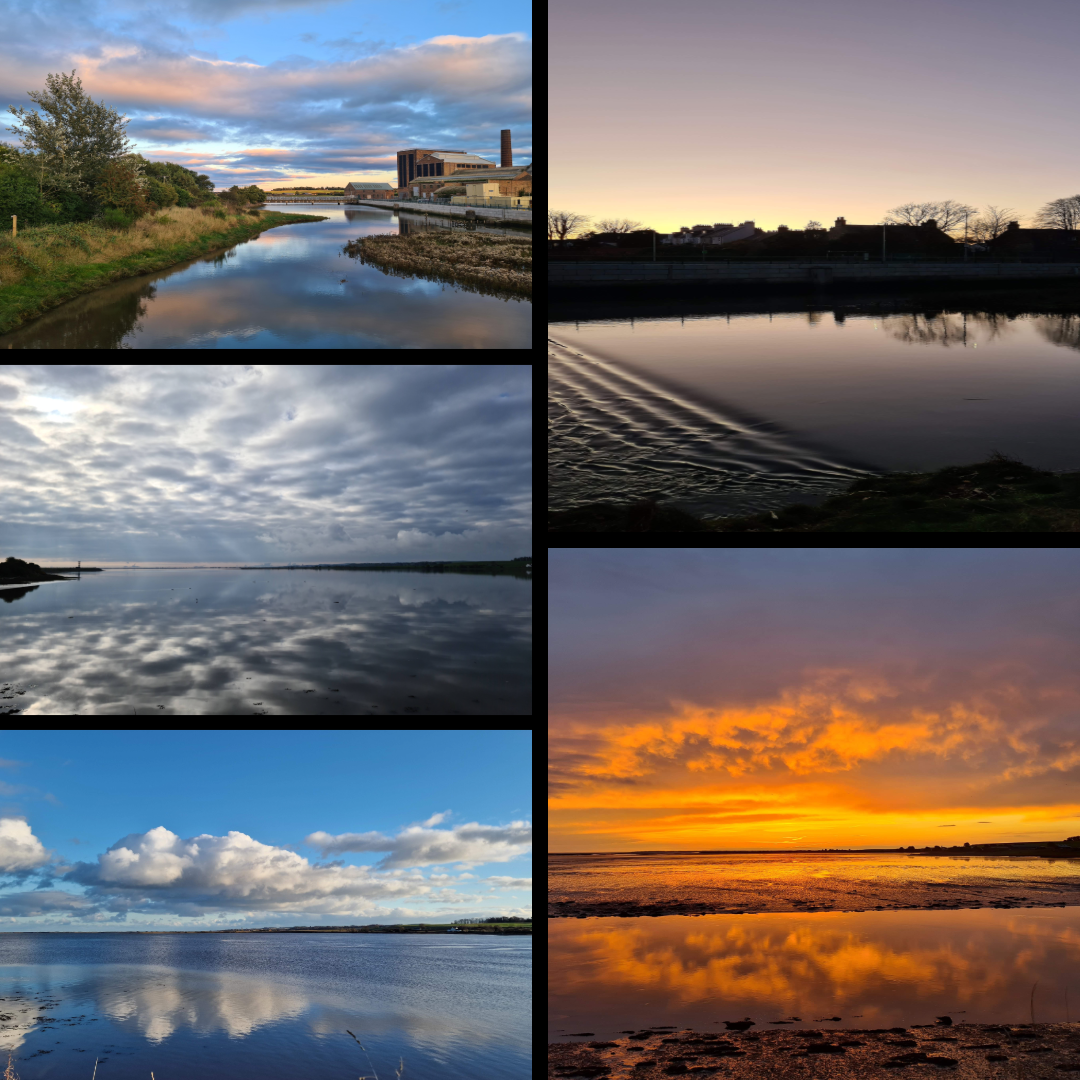
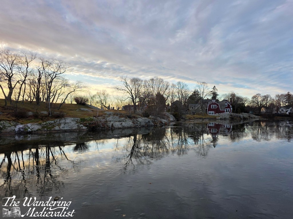
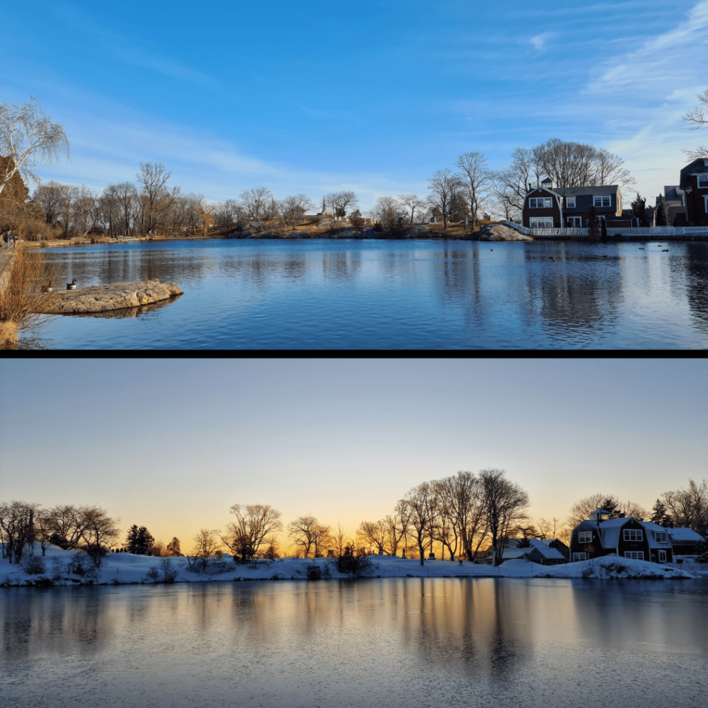
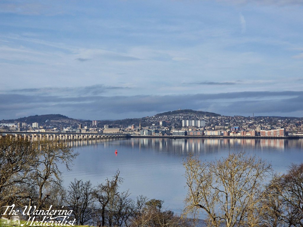
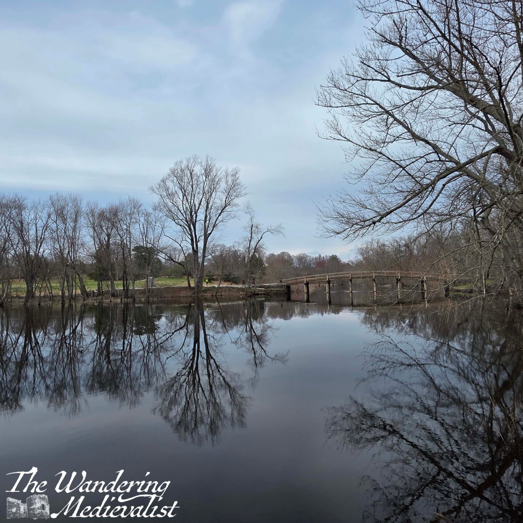
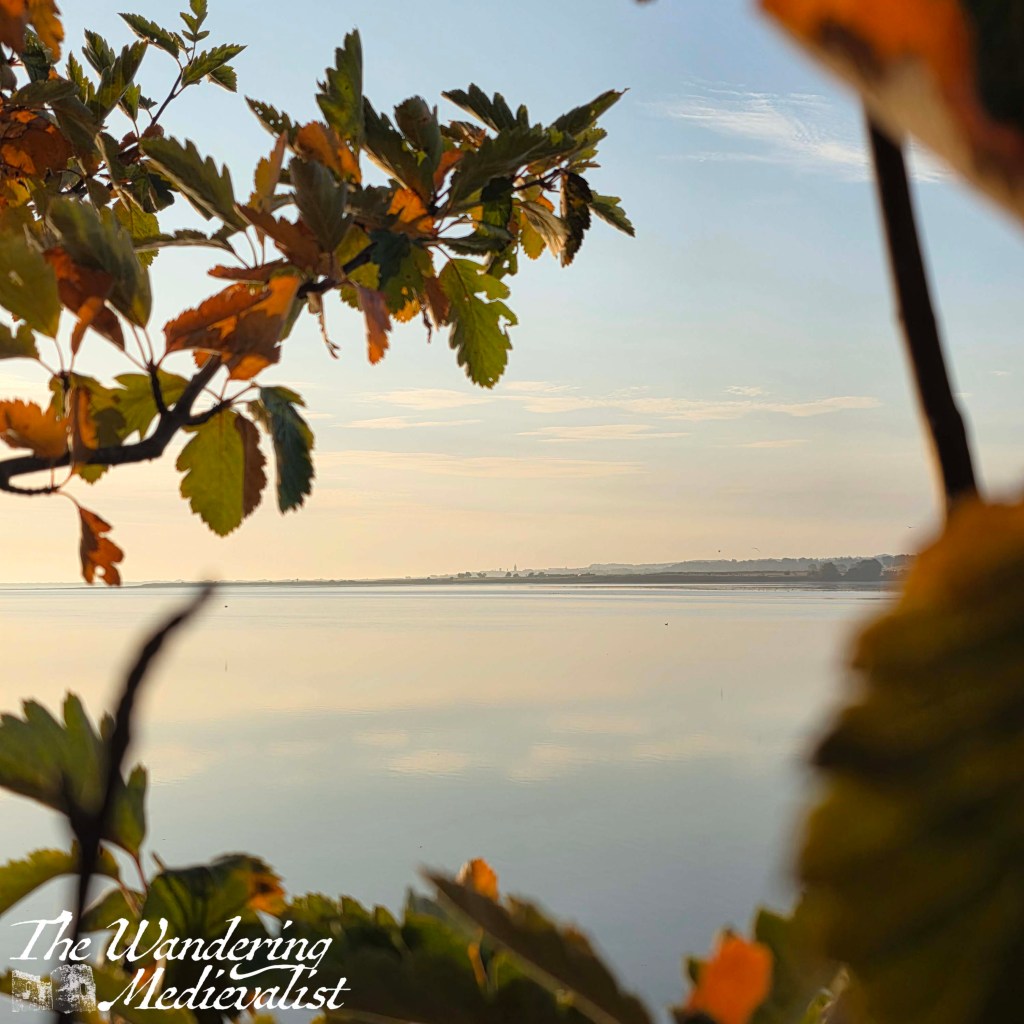
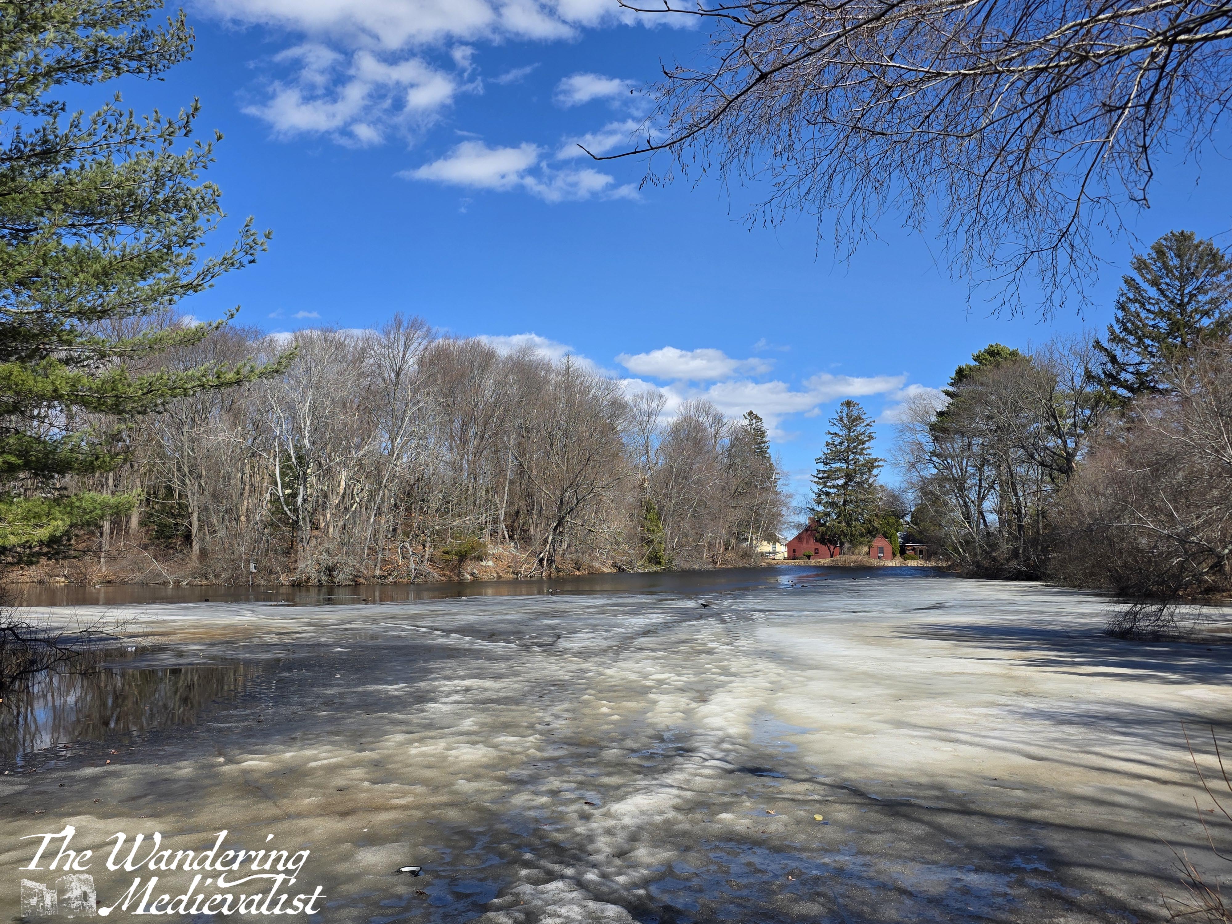
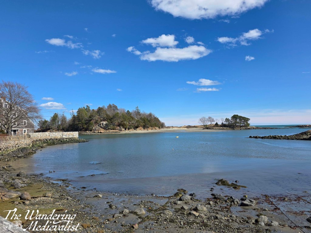
As you move further into the forest, houses are still visible – and audible – through the trees, and the path rises and falls over hillocks with a few side-trails to other entrances. I kept moving, relatively straight away from the road as best I could, with a few glimpses through the branches of the pond to the right. Finally, after only a few minutes, there are several off-shoots leading to the right, and you can cut over to the edge of the pond, which on the day I visited still boasted a coating of slushy ice. Redd’s Pond, very close by, had lost its ice completely, and it was interesting to see how a small change in geography could alter it. Redd’s Pond is a touch lower, open (not surrounded by trees), and I think a touch shallower though I’m not certain on that.
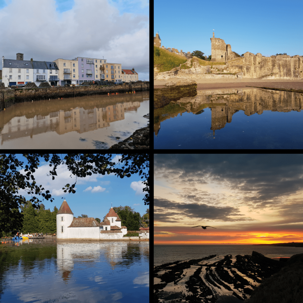
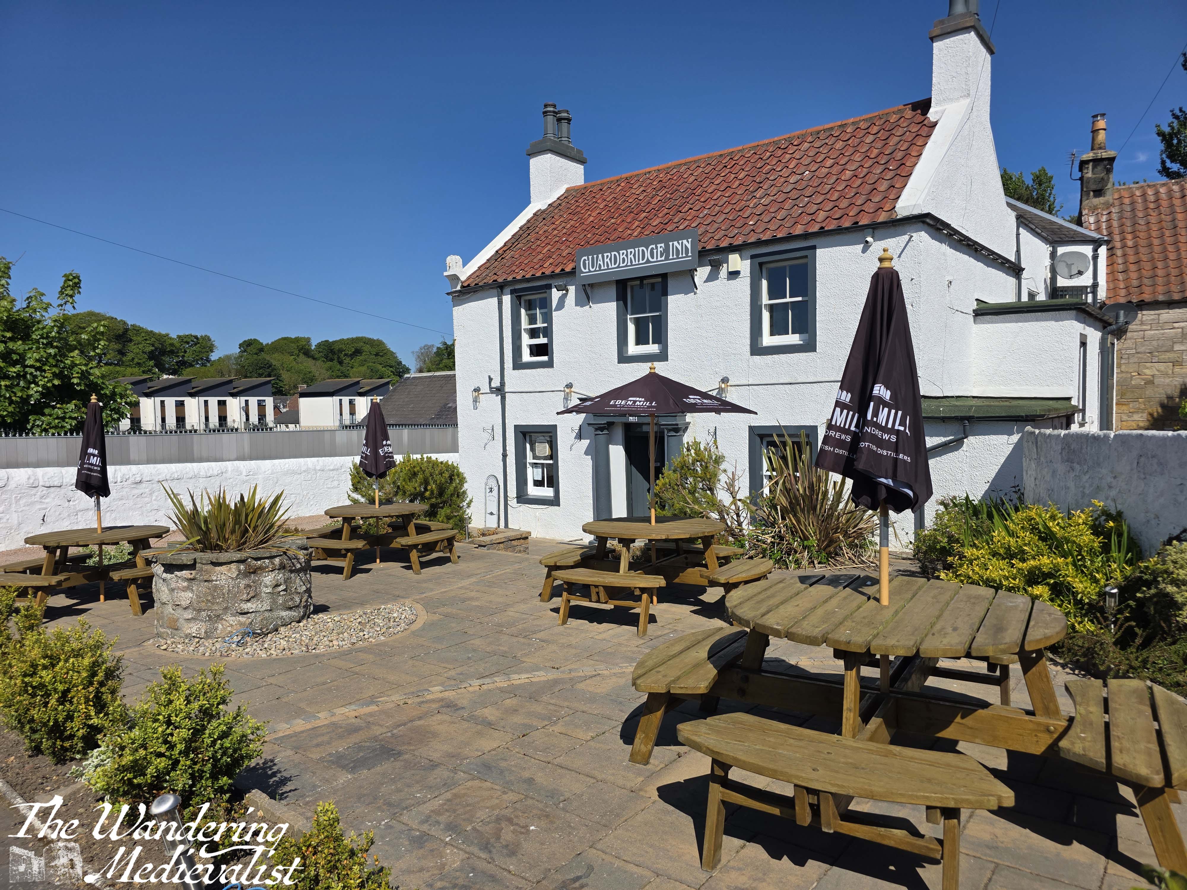
The view across the water towards the red of Joe’s Tavern is a stunning one.
Once you have had your fill of the view, continue back towards the path, and in a short time you will reach a junction. I chose to go left here, though I think right would have eventually circled around to the same place. My direction took me quite quickly down a steep hill.
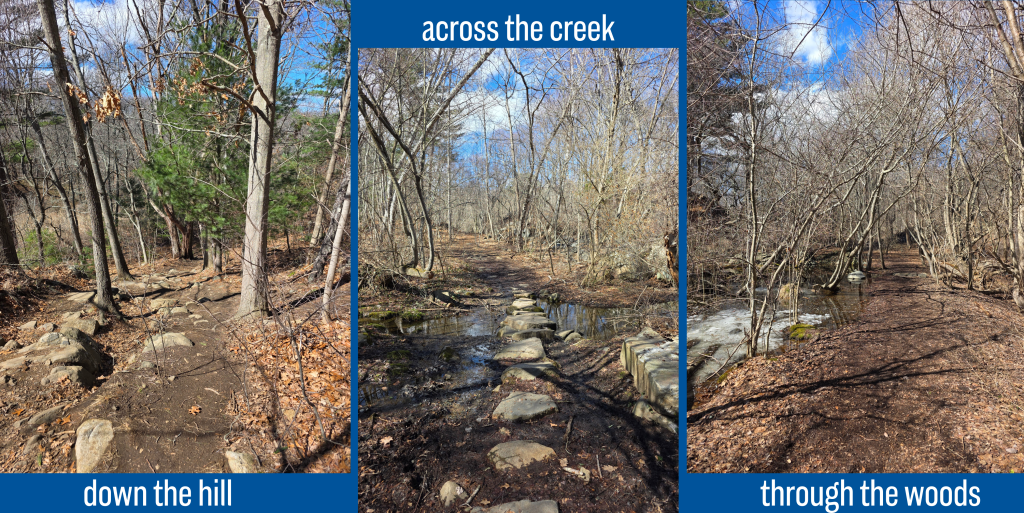
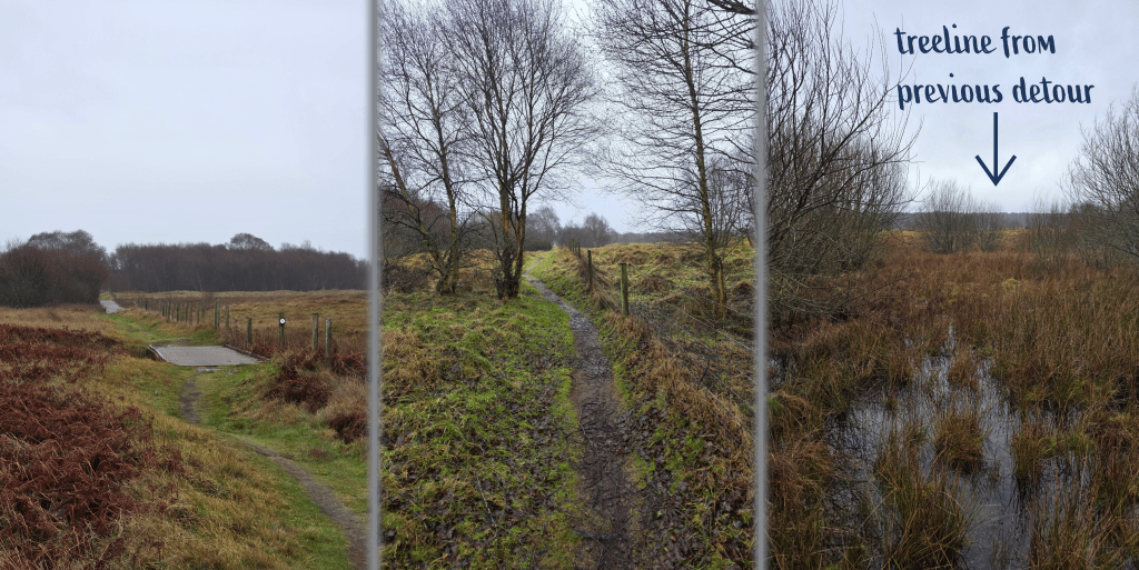
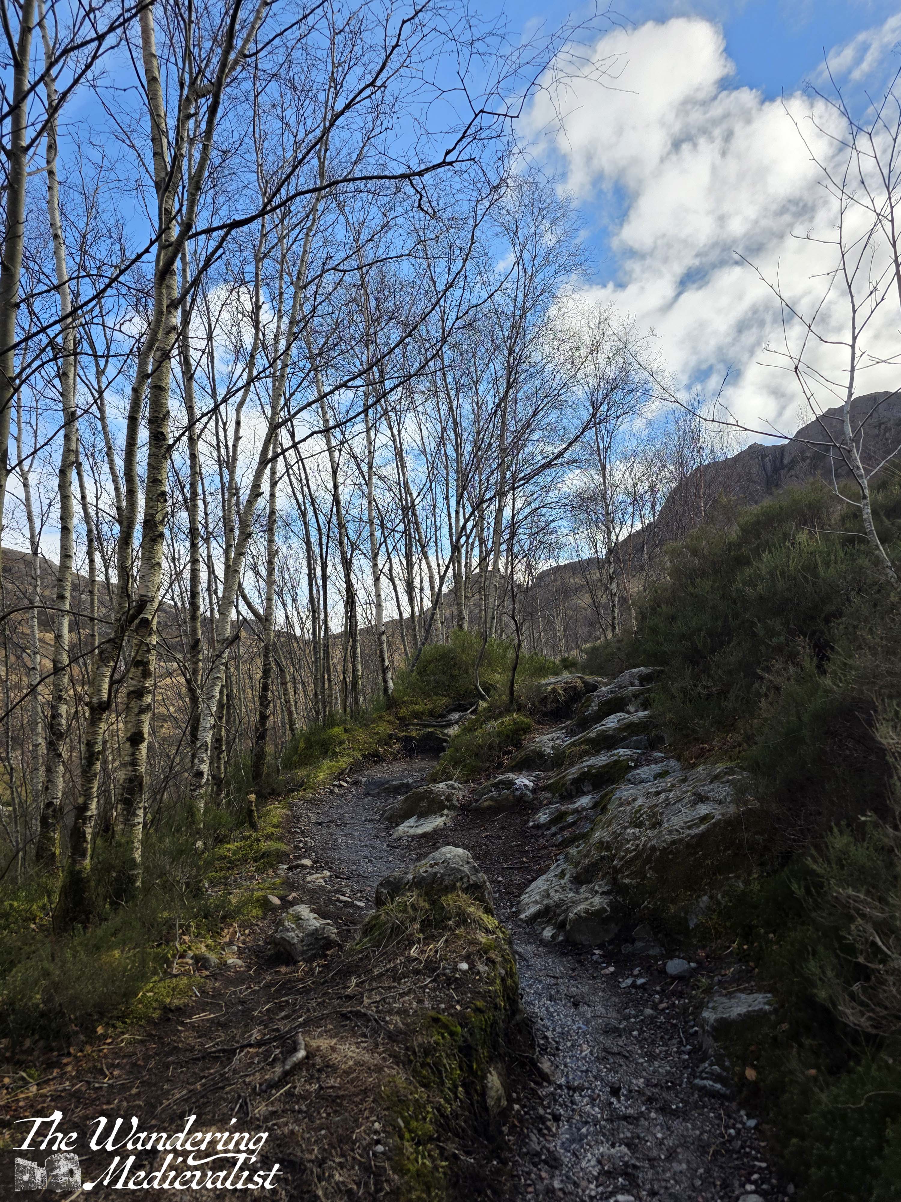
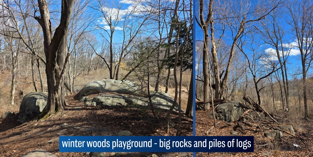
By the time I reached the bottom, the road noise was gone and though homes were still visible in glimpses through the trees, it began to feel a lot more like a woodland. In fact, this walk took me quickly back to all winter walks I had taken in New England – the same smells, sights, muddy patches and enormous boulders that rise from the forest floor seemingly randomly.
I crossed a small creek on some stepping stones, and continued straight through an almost bower of winter trees, bending over the path so that in the summer I imagine it is a tunnel. By this point, the woods were blocking most of the day’s bitter wind, and so the walk was quite pleasant, just warmed by the sun. The ground was a touch squishier than I might have liked, but most of the worst bits included rocks to cross.
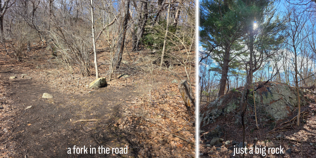
In perhaps ten minutes, I reached a five-way junction, with paths stretching out in all directions. I decided to follow a loop and not turn back on myself, thereby adding in a visit to Grace Oliver’s Beach. I hadn’t really started the walk with a plan, rather it evolved as I walked, which was quite nice. I was not certain at the time how long the loop would take, but I figured it could not be too long – the conservation area here is not particularly large.
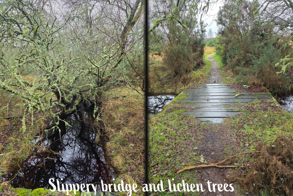
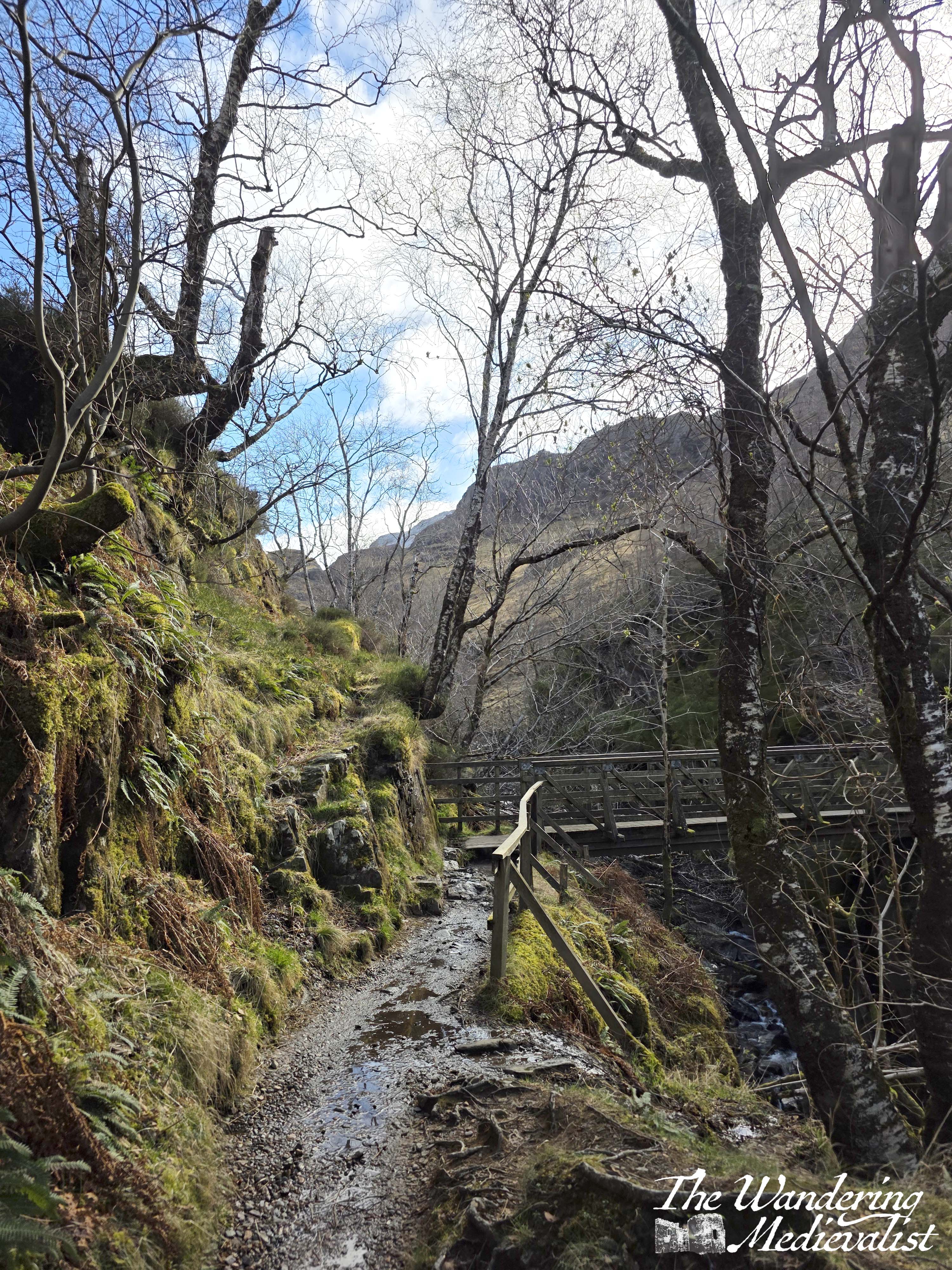
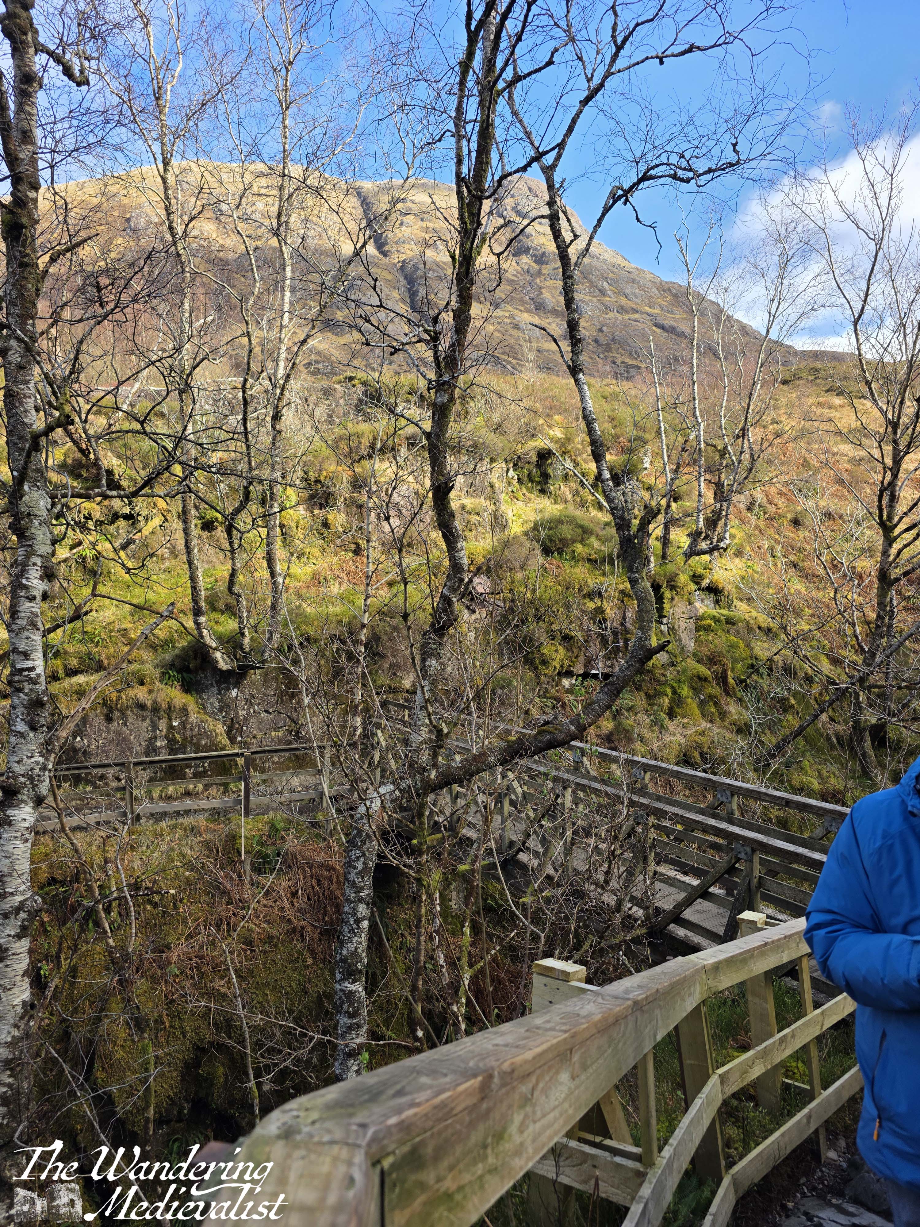
Soon after selecting my route, I crossed a lovely wooden bridge bathed in sunlight, though the ground beyond was still covered with an icy coating of snow. This required a bit of careful negotiation, particularly in sneakers, but I managed to get across while passing another walker who looked at me strangely – he was wearing proper boots. I slipped and slid a few times but never fell, so I call it a win.
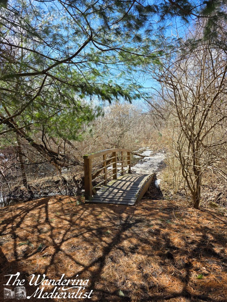
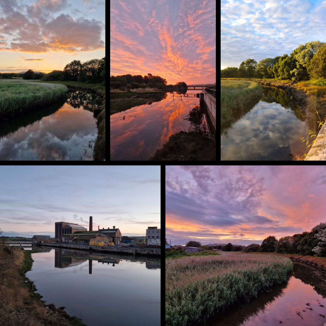
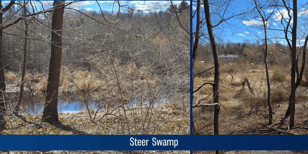
After crossing this bridge, I soon came across another turn, and this one I knew should be the start of the loop around to the right – I was in theory making a circuit around the marshiest bit of Flag Pond. In very little time, the houses ahead were again visible, so the illusion of being deep in the forest vanished. But, the walk was still more than pleasant, crossing a small brook and around a hillock, following the trail. There were some loud voices carrying through the trees – dog walkers I think – that I hoped would not be following me, but with luck they turned the way I had come, and the quiet returned. It was enormously peaceful, with the occasional birdsong or trees rustling. The ground under foot was layered with oak leaves and pine needles, meaning my steps were quiet, and the scents of fresh cold woods were like a time machine back to my childhood. They say scent is one of the most evocative triggers for memory, and this was most definitely one of those occasions. (Another is any time I set foot outside Haymarket Station in Edinburgh and catch the nearby distillery’s yeasty scent. I inevitably freeze while being carried back to my university years)
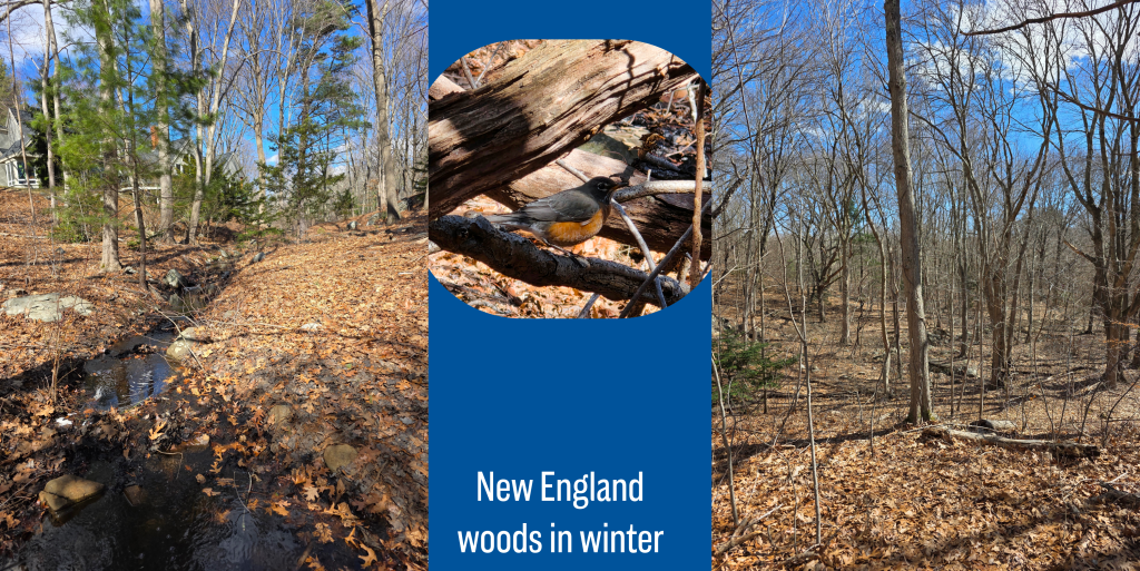
As I have mentioned, woods in the winter were my playground as a child – these woods, those in New Hampshire, the Audubon land in Ipswich were we went on many winter outings – all make me want immediately to scale a rock face to establish a fort, or create a lean-to against fallen logs.
I could happily have walked for much longer in this flashback, but in relatively little time it becomes evident that the residential area is springing up quickly at the edge of the conservation land. More houses appeared through the trees, and the road noise began to invade once again – infrequent though it was.
Here, the path takes walkers directly to the junction with Beacon Street as it winds around the wild area, but there is really nowhere at the edge of the street to walk safely. With luck, there is also an option to cut down to the right along a path set back slightly from the road – there are good views here looking over the swamp lands, which I had circled around. There were plenty of paths to take me back the way I had come, but I had already decided I wanted to walk up Gingerbread Hill.
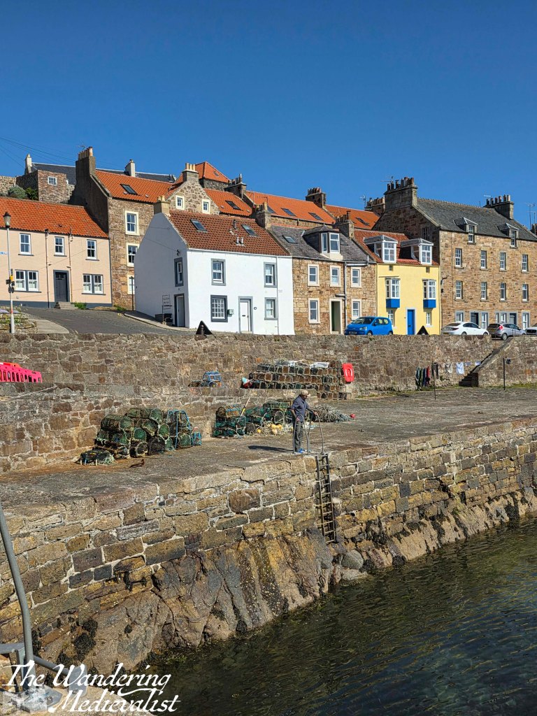
In little time, I emerged on Beacon Street but a bit closer to the beach, and hurried along the edge of the road which is, like many Scottish roads, not really wide enough for two cars to pass. I am not sure why I had never noticed the small creek running at the side of the road, which empties onto the beach, but it also separates the main road from the land beyond (Peach’s Point) which seems quite appropriate.
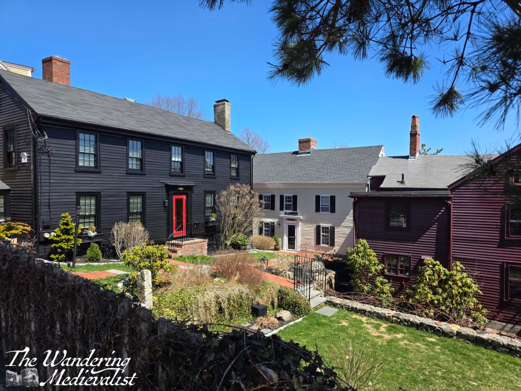
Fortunately this part of the road is not particularly busy, as there is also really nowhere to walk, so I was pleased to be able to quickly reach the wider road that runs along the beach and turns up to enter Peach’s Point. This area, identified by brick columns that mark the entrance, is a private grouping of homes, most of which are enormous and beautiful. Originally a Native American (Naumkeag tribe) summer camp, it was settled by one of Marblehead’s early families, the Peaches, and eventually became an almost mini version of the neck, in that large summer residences were built for wealthy families.
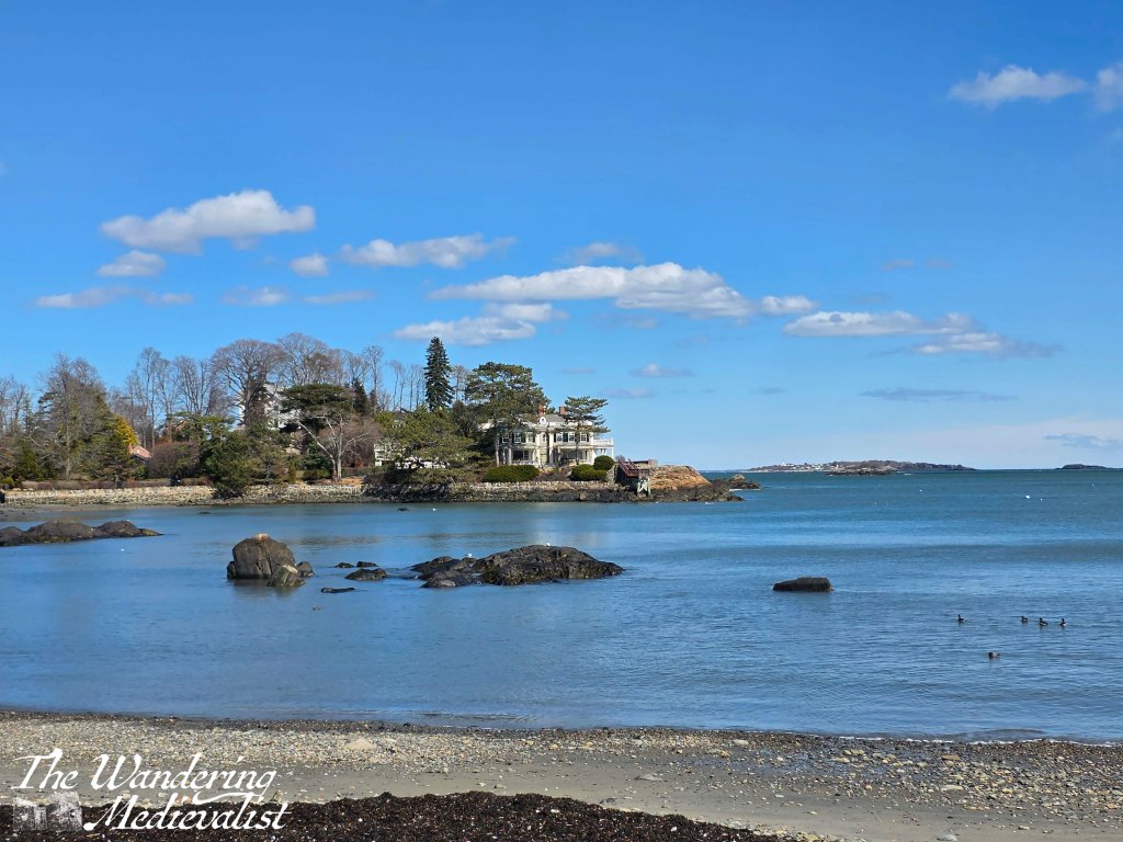
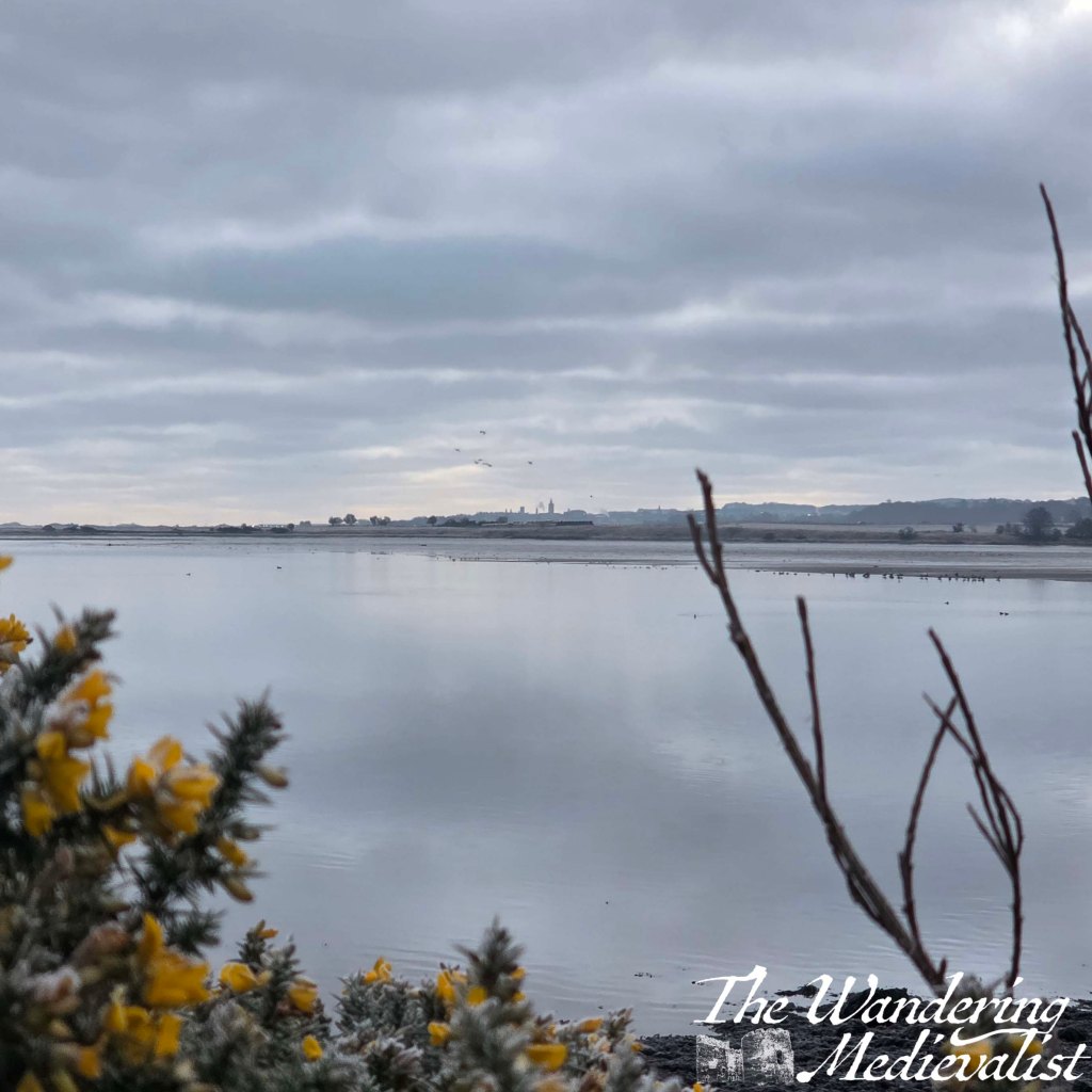
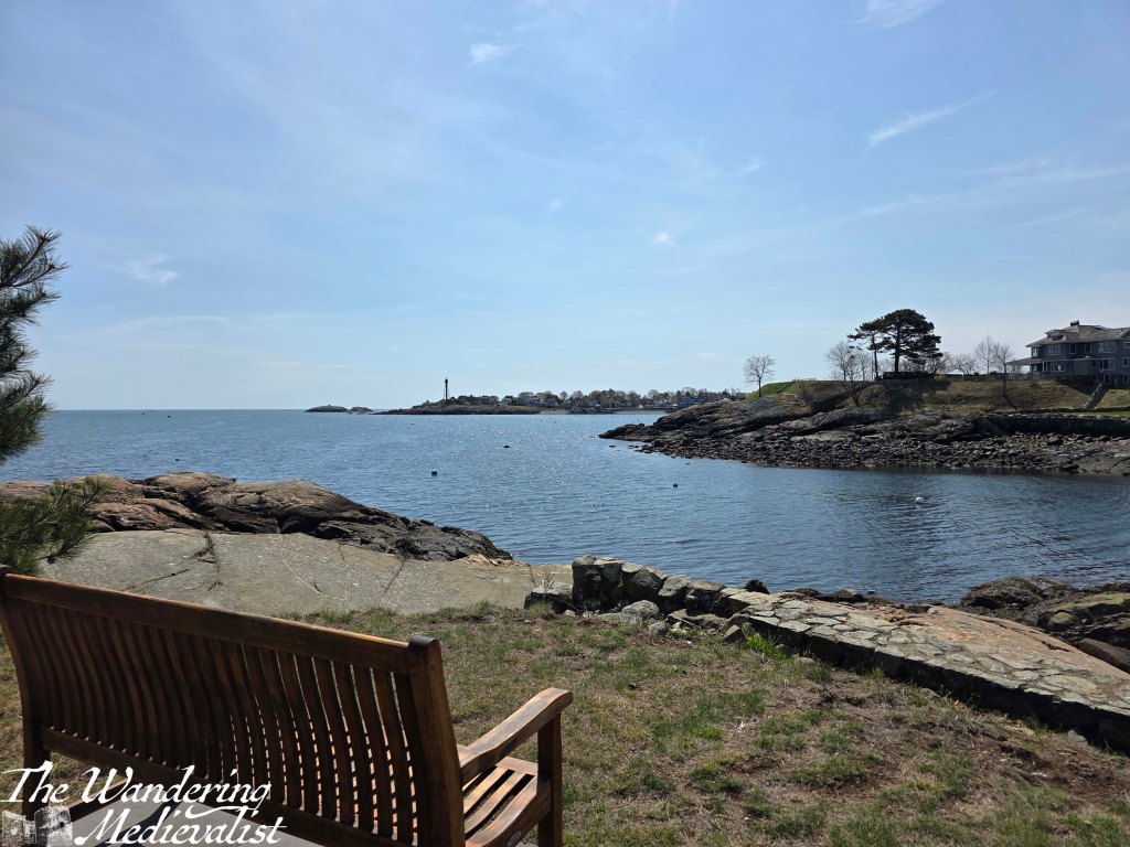
Peach’s Point creates one side of Dolliber’s Cove, with the rest created by the public beach named after Grace Oliver, a 19th century writer and women’s rights advocate who lived nearby.
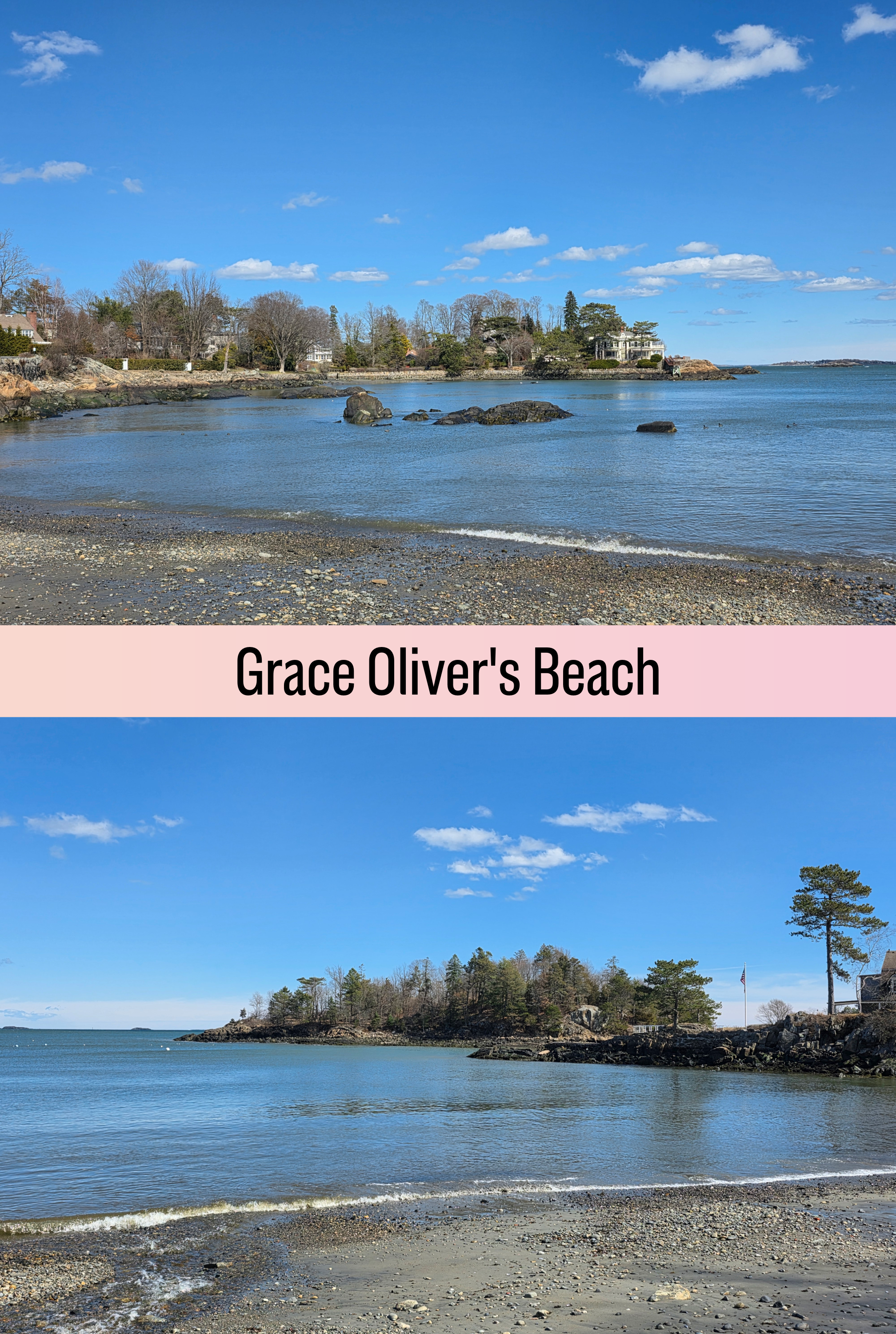
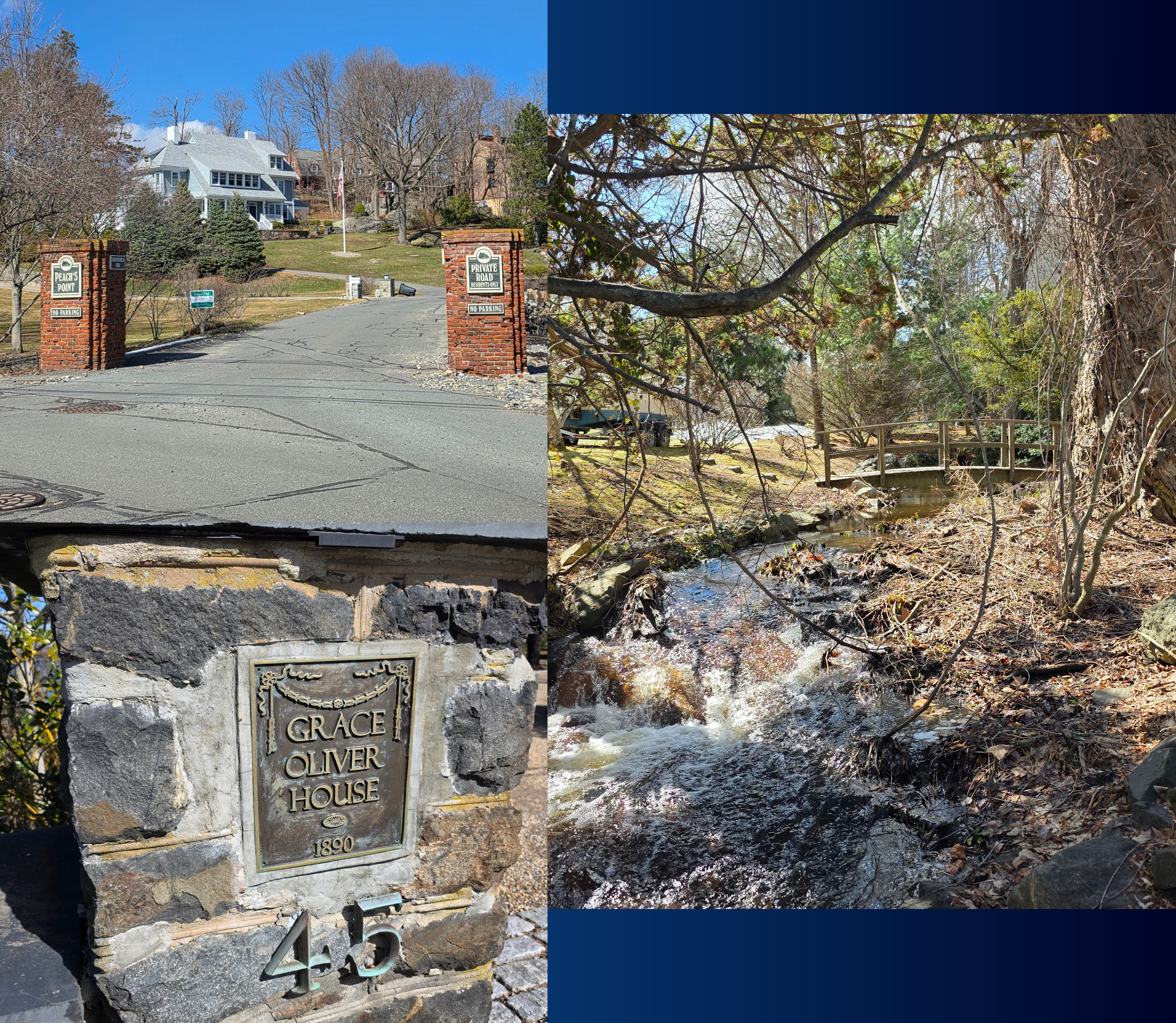
Because of our close access to Gas House beach, I rarely swam here as a child, though it is arguably a more pleasant beach, with a bit more sand and less seaweed. Like Gas House though, it is not particularly large, with a plot of land jutting out into the water here upon which is built a beautiful old house – Grace Oliver House – with a dock and long drive.
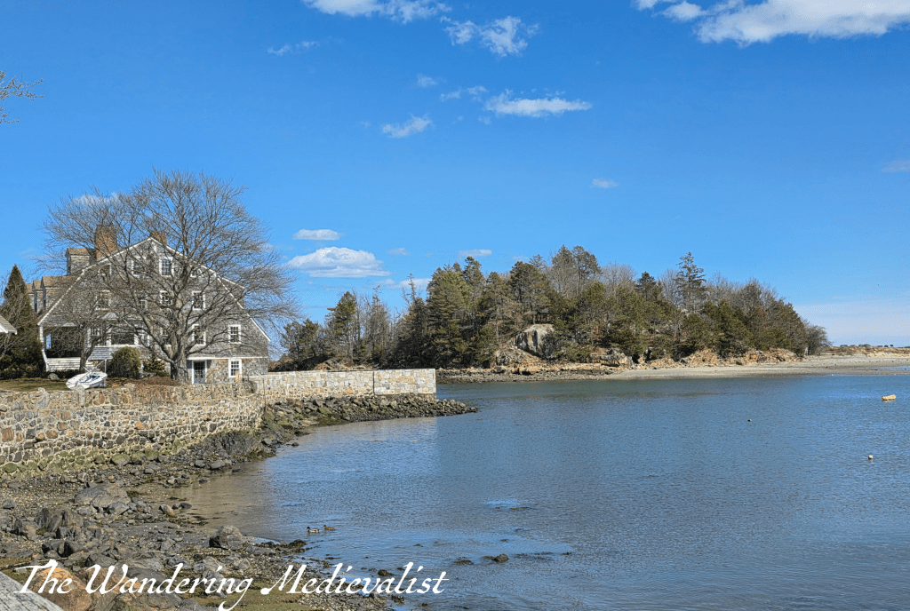
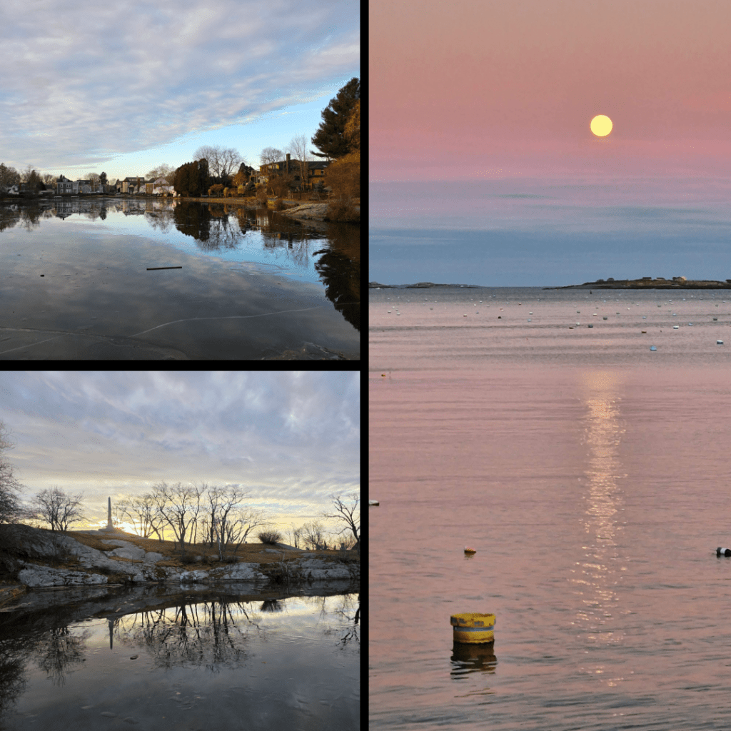
I will fully admit to always coveting this house, or at least a visit to it – though my New Englander brain also imagines in must be damaged by storms. Unless of course it is protected, which it must be, by Brown’s Island (as I knew it), which is accessible only at the lowest tide, and sits just off-shore. The right-hand photo above shows it best. Apparently this island was originally owned by Edward Diamond, a local man who was credited with mystical powers and was often seen on Old Burial Hill, known as a wizard (my friends and I were certain he haunted my house, and were obsessed with trying to see his ghost on the hill). The island was re-named Crowninshield Island in the early 1900s, apparently, though I have always heard it referred to as Brown’s.
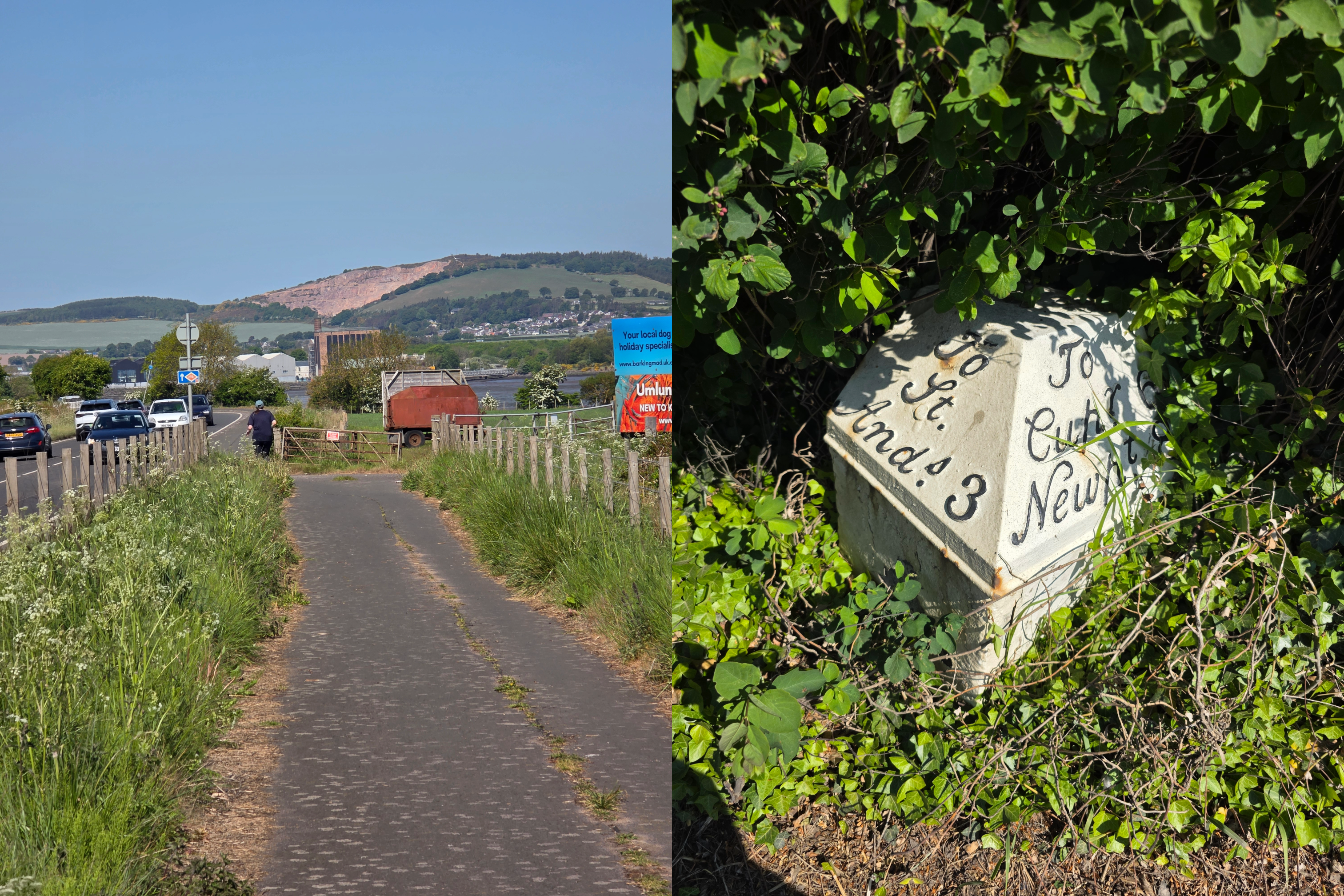
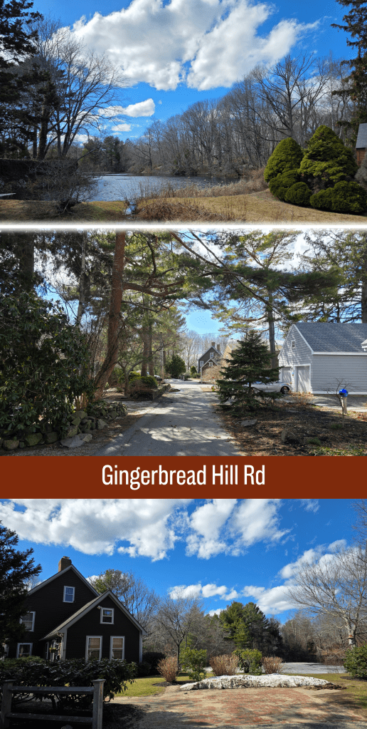
Just opposite the driveway for Grace Oliver’s House is the easily-missed turn up Gingerbread Hill, an old road that – of course – winds its way up a hill to Black Joe’s Pond and Tavern, before cutting back down to Norman Street. It’s a relatively short walk, but passes some beautiful old homes. There are a few places where you can see through to the pond, and work out which clump of trees you may have been hiding in to look this way. There is also a footpath down the hill to the street, but I chose to stay on the pavement which – as you can see – is narrow. While cars are not regular, walkers should be aware that they may not be visible with the foliage and twisting road.
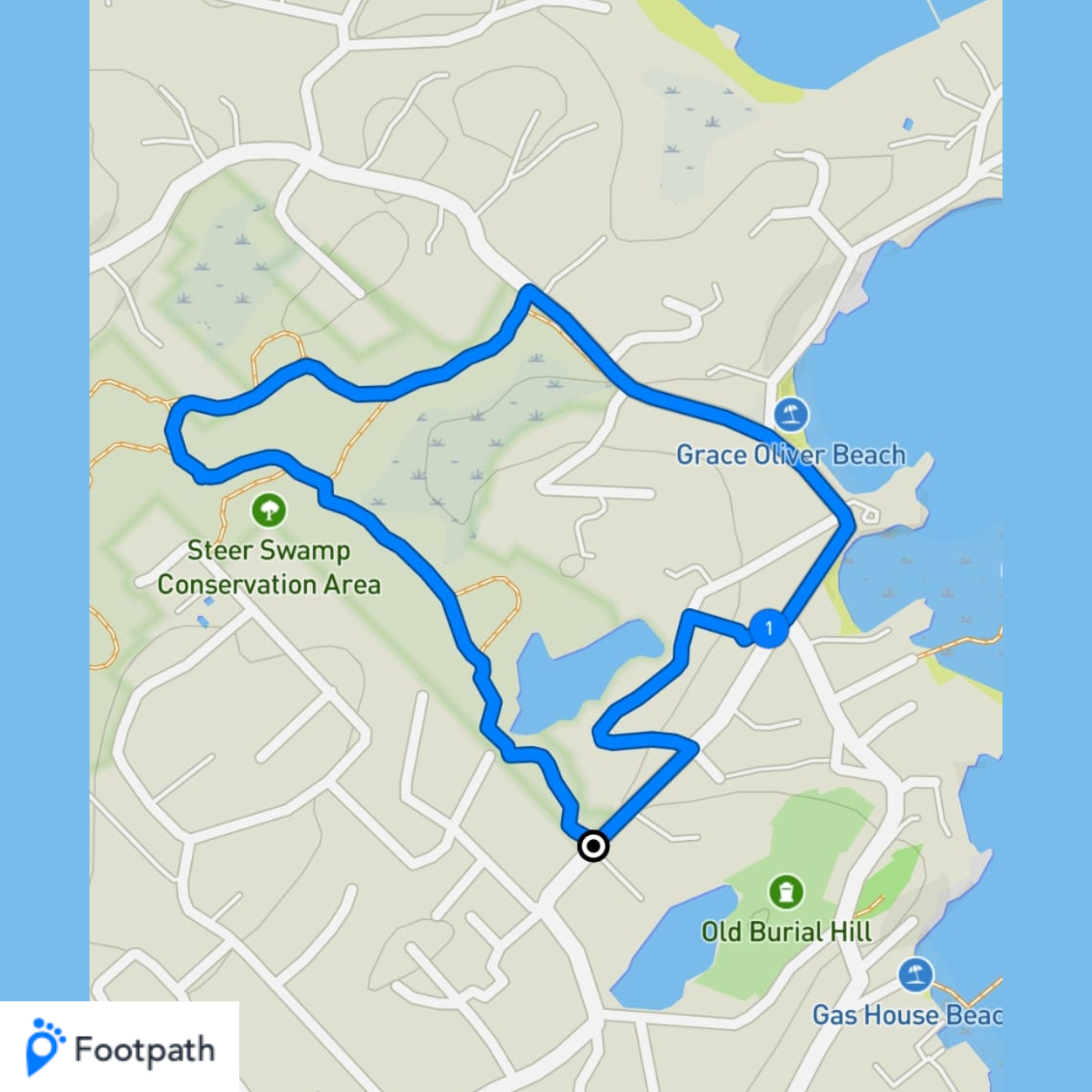
Descending onto Norman Street, I found myself only a few hundred feet from the entrance to the Conservation land where I started – a loop of just under two miles. Not particularly strenuous, this is a lovely loop that both allows for some woodland walking but also some real Marblehead history and passes some of the older neighbourhoods. Plus, if inspired, you can continue your walk around nearby Redd’s Pond and up through Old Burial Hill. This is one of my favourite things about Marblehead – there are so many loops you can take, all a bit different, and all showing you a new part of town or a new piece of history you may not have known about.
To finish with, a view of Redd’s Pond and the loop I took, screen captured from Footpath, the app I use to plan walks.
Enjoying my pictures? Why not claim one for your own project or wall space through my online shop: