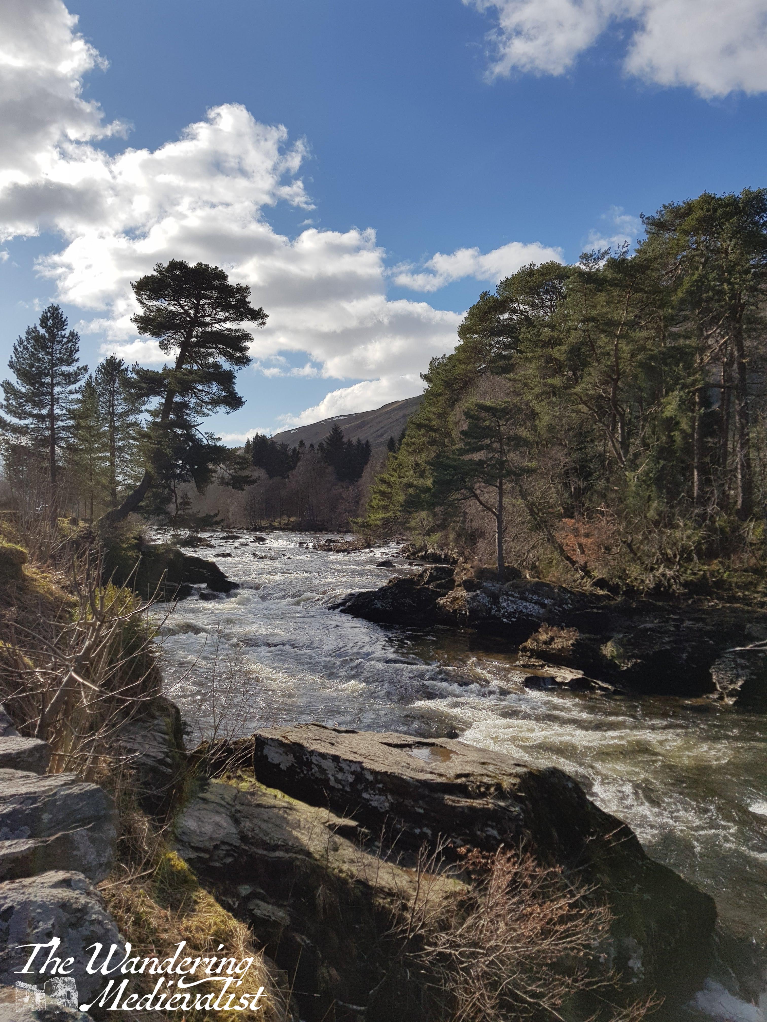
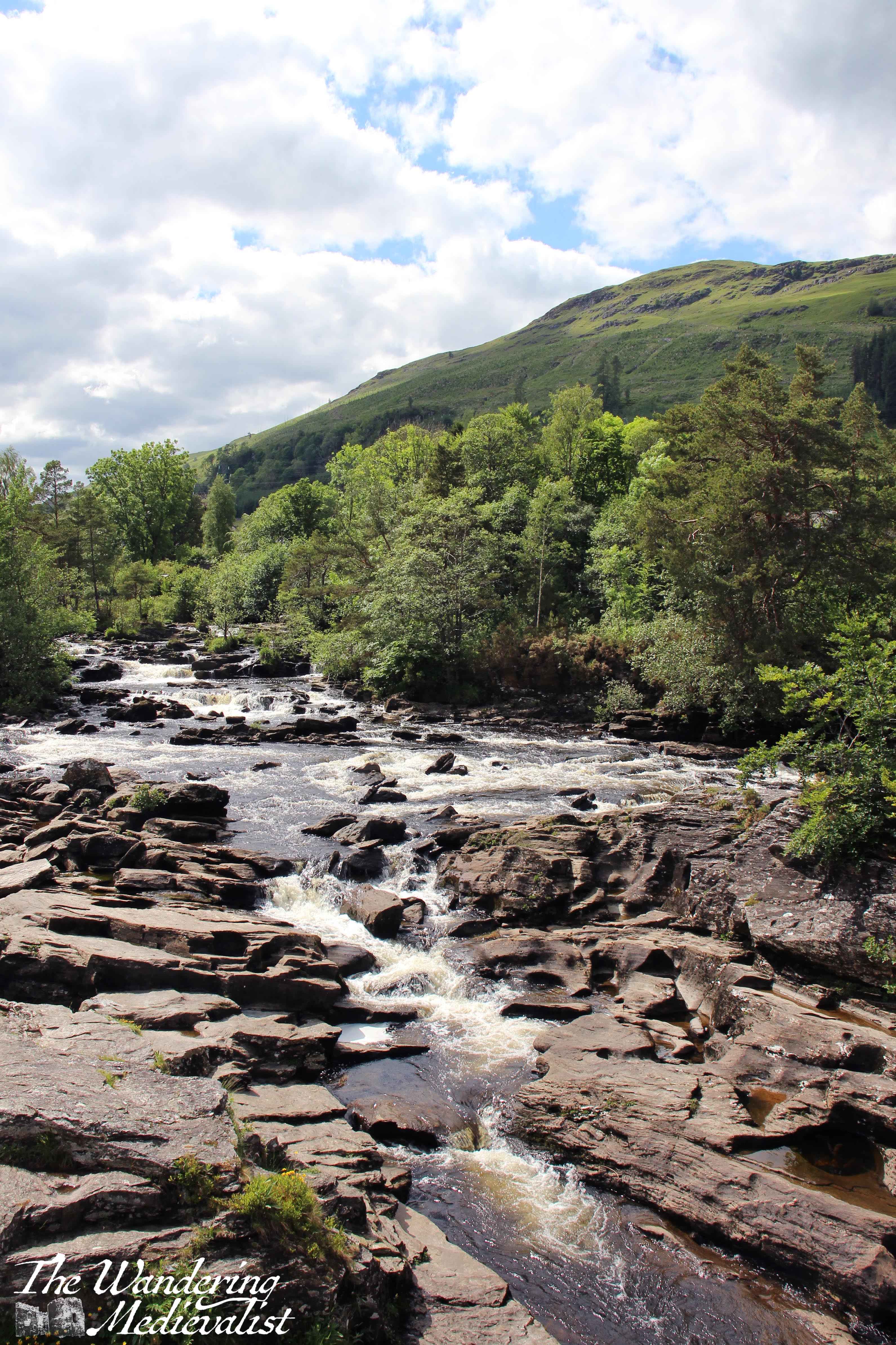
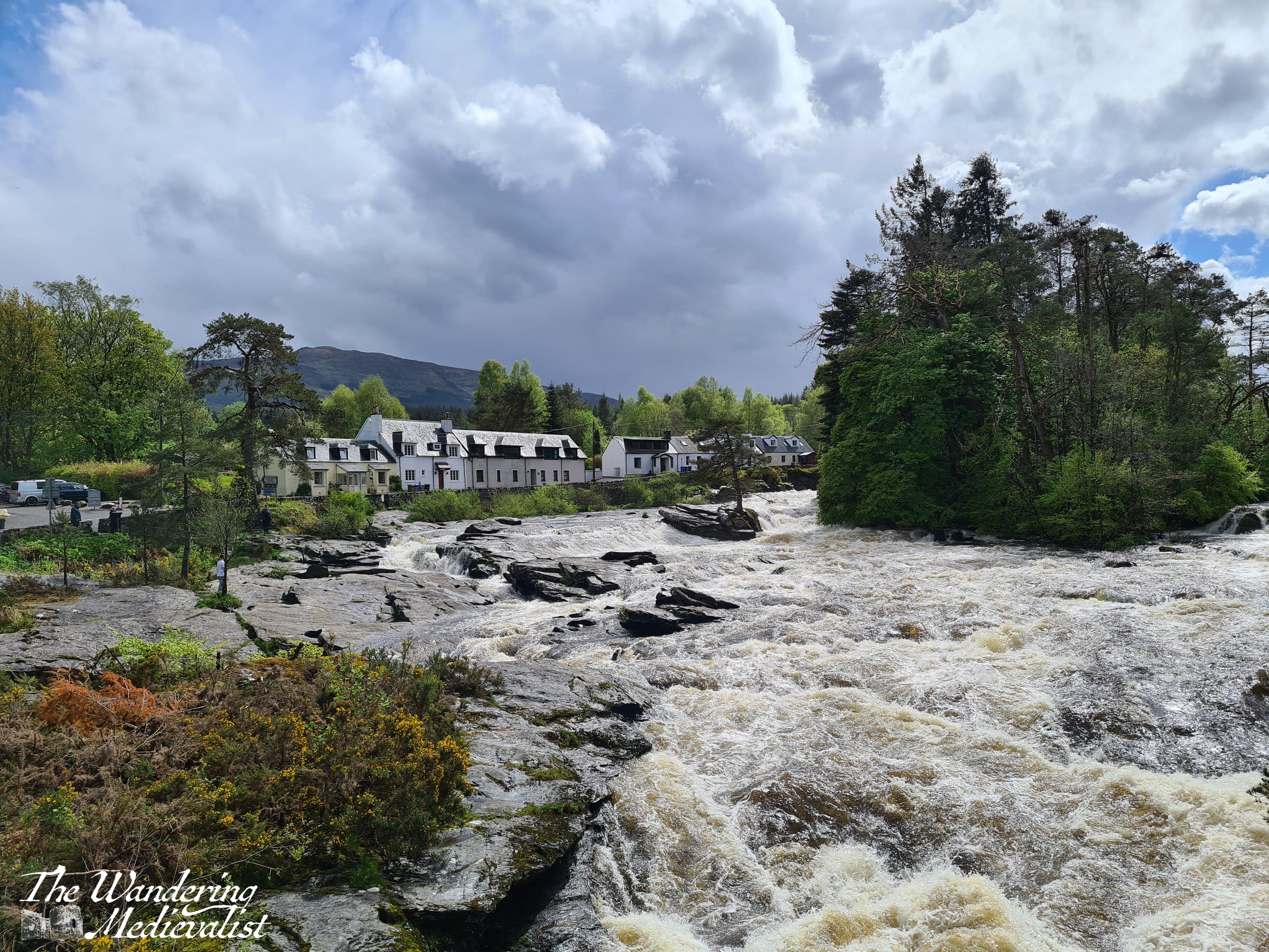
The Falls of Dochart is one of the most beautiful places in Scotland, and it is almost certainly one of the most photographed as well. This is not just due to its stunning nature, but to the its relative ease of access – it is only 2 hours from Edinburgh and 1.5 from Glasgow, simple to reach from the A85 that crosses Scotland from Oban to Perth.
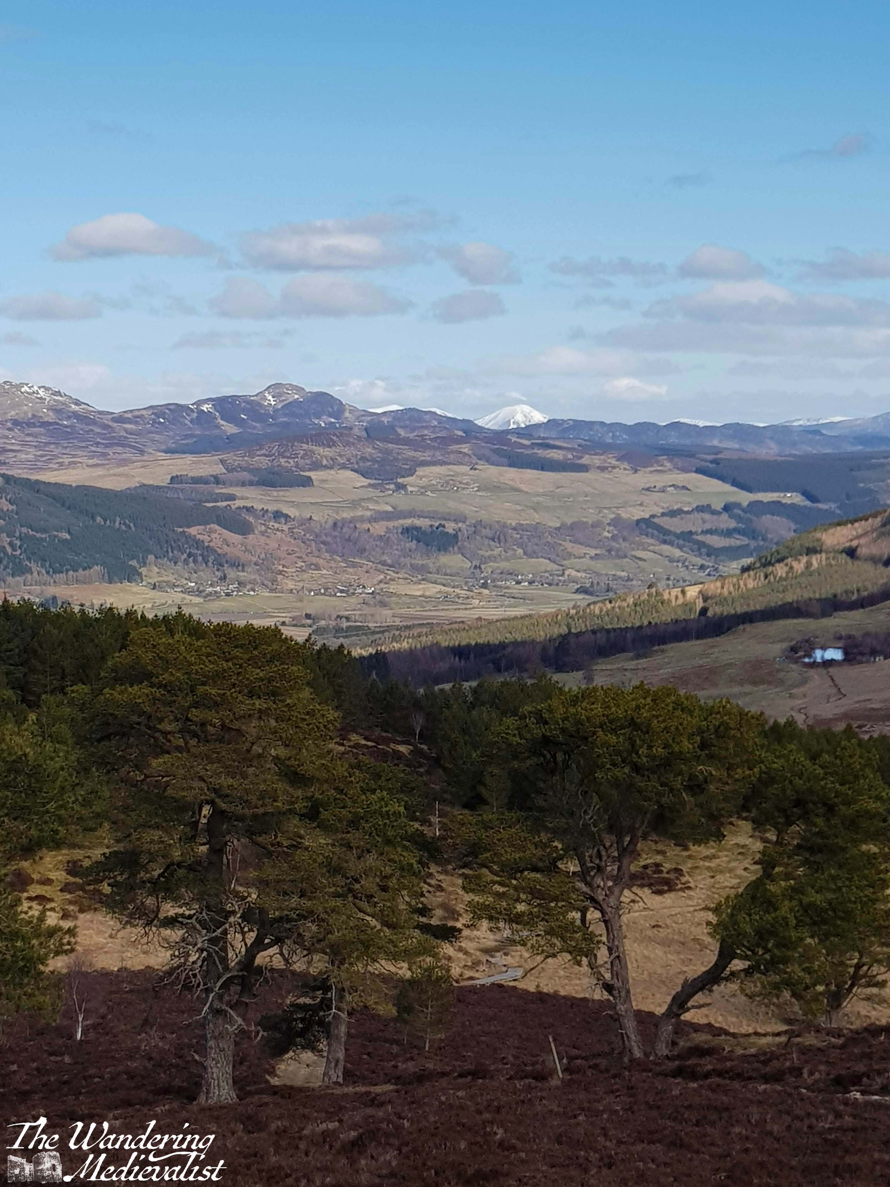
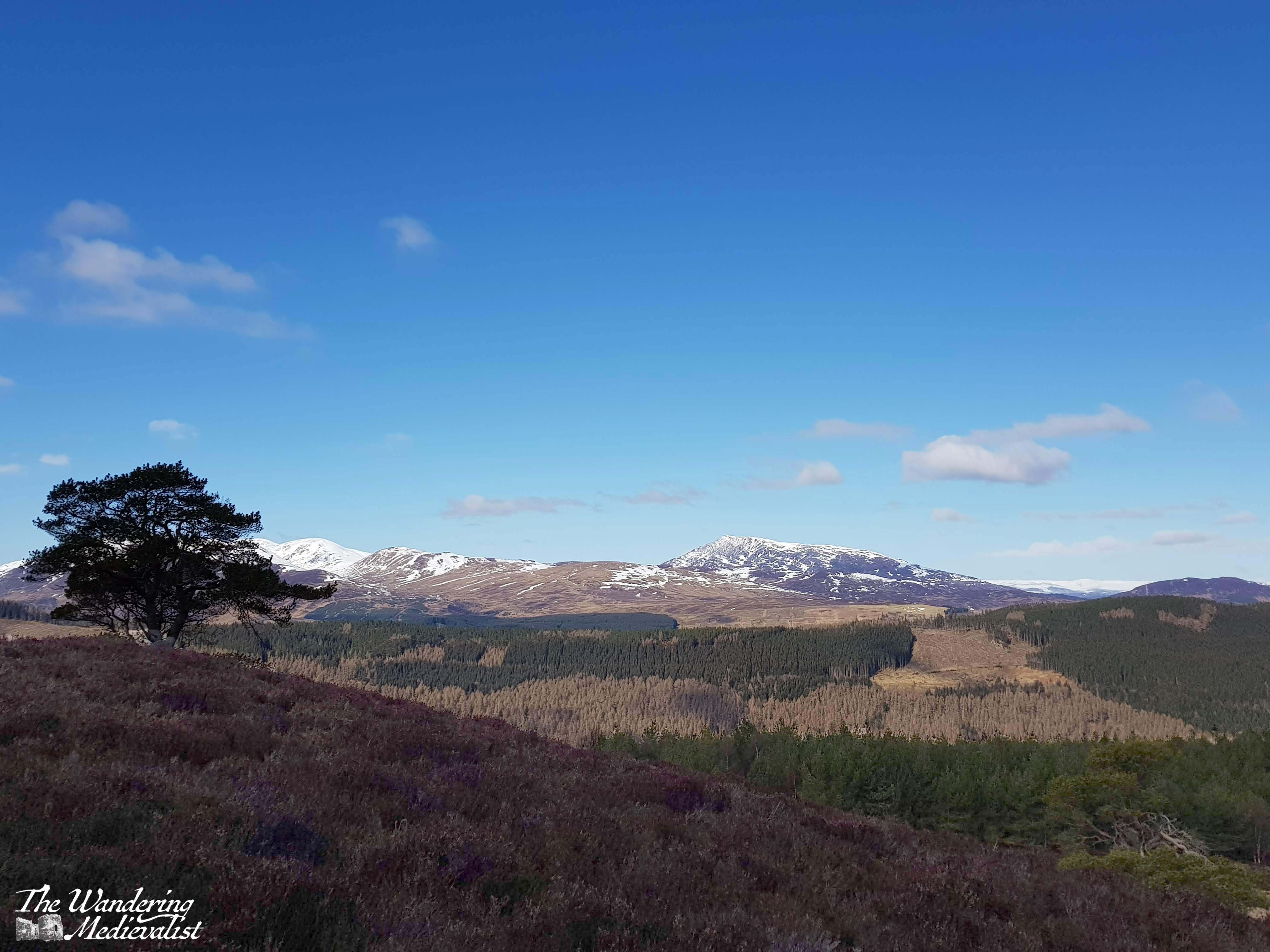
I had a postcard from Dochart on my wall in high school and it was one of those places I always wanted to visit, but somehow continually missed. Until that is, our trip away in March 2020, before the lockdown began. As previously mentioned we were in Aberfeldy for a long weekend, and after a morning of hiking we decided to head down the loch for a drive.
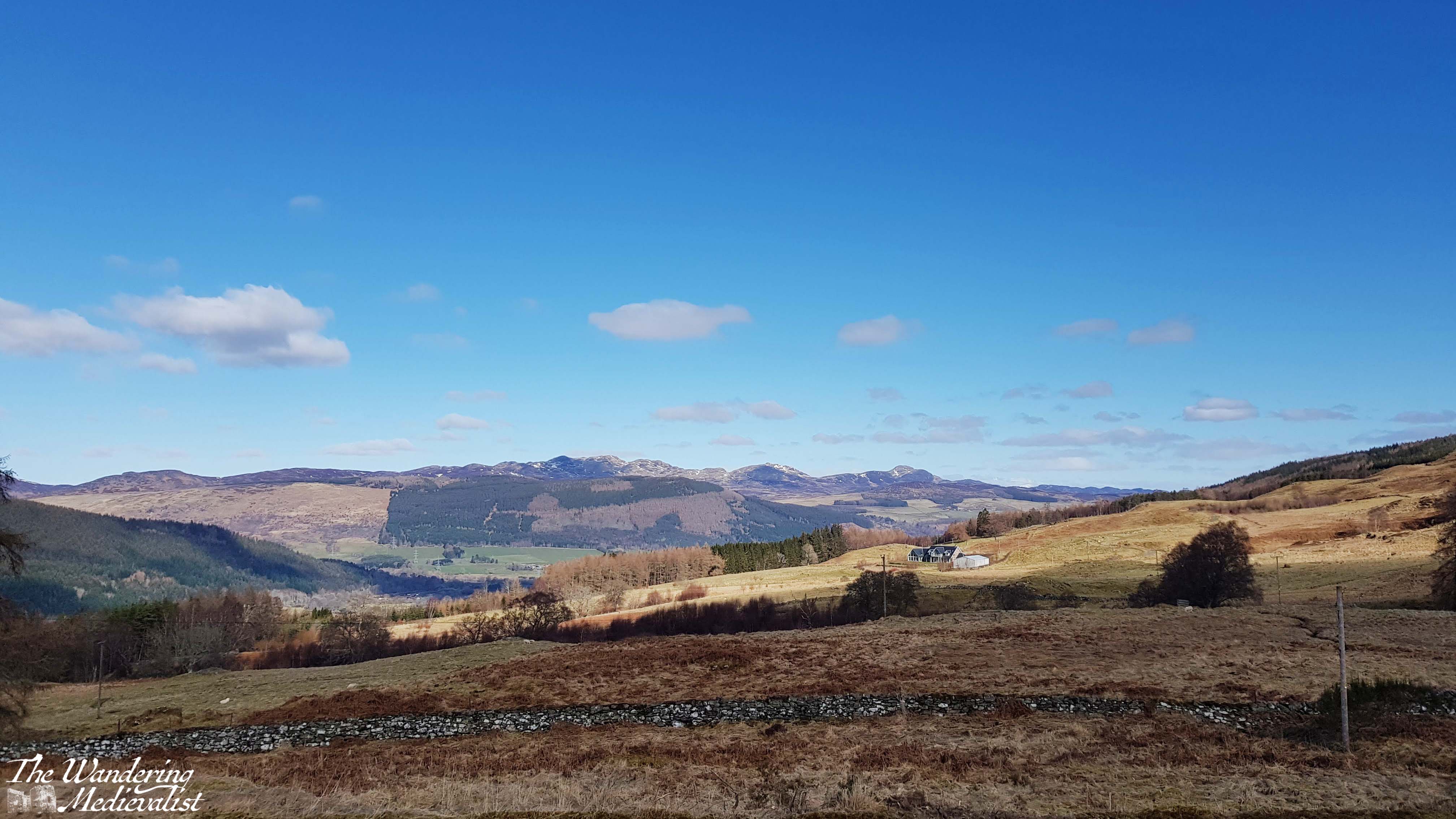
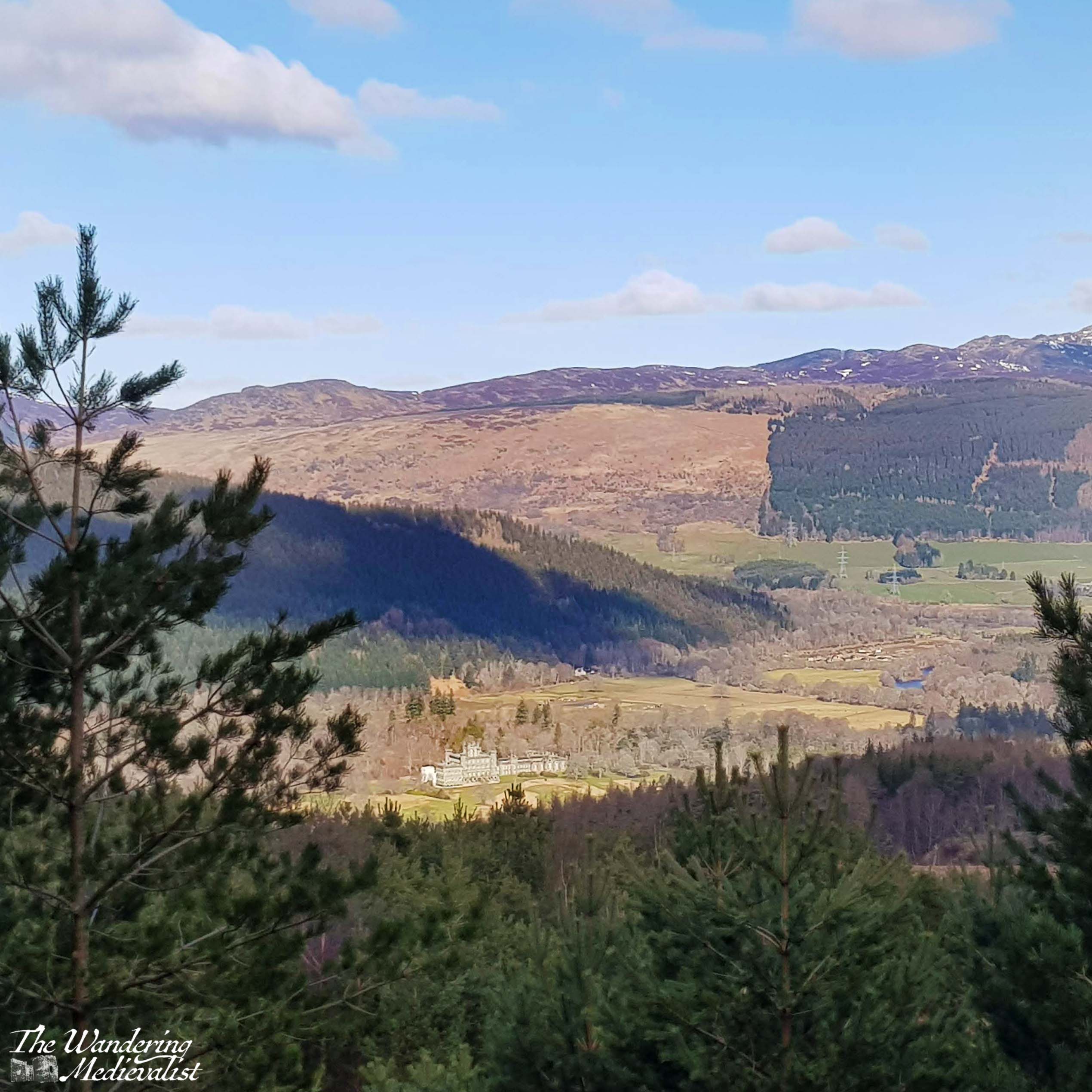
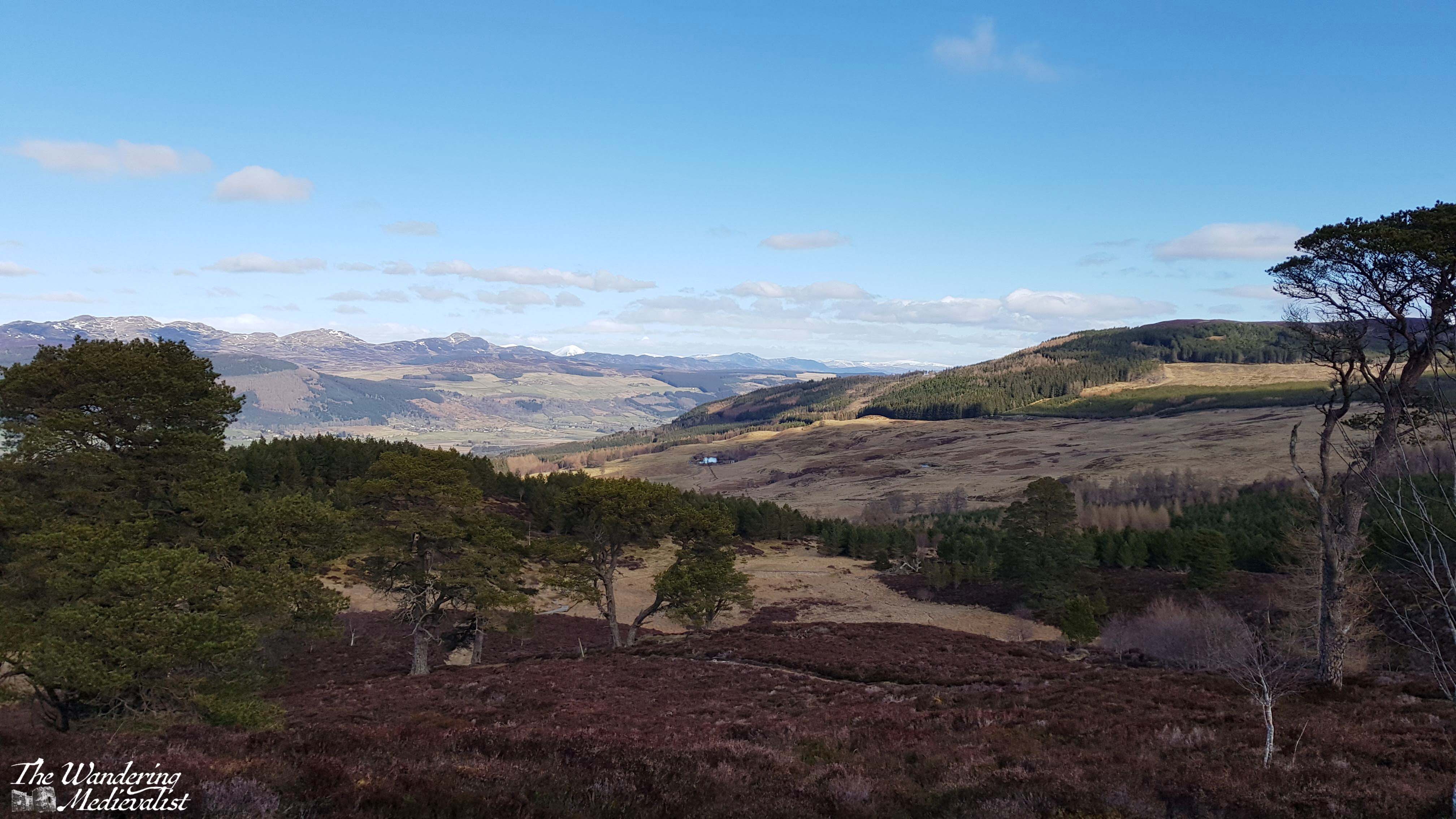
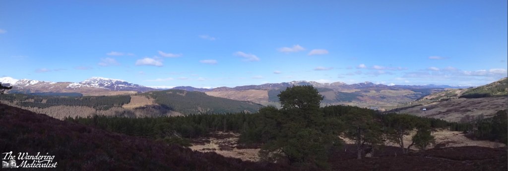
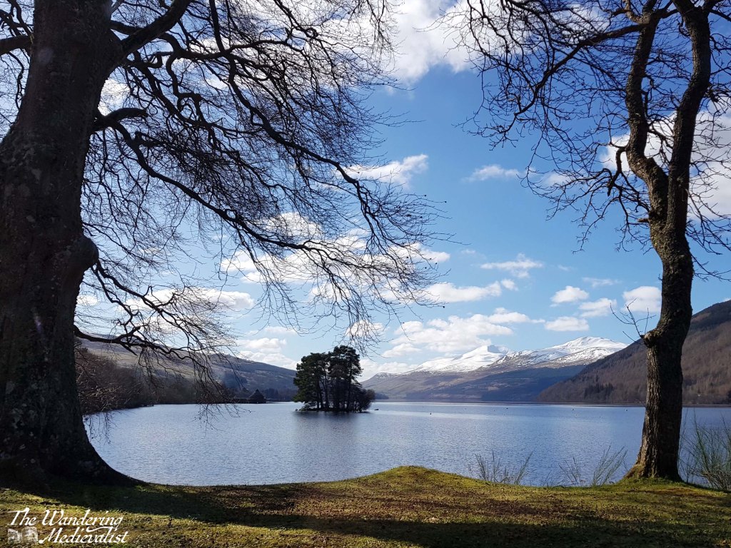
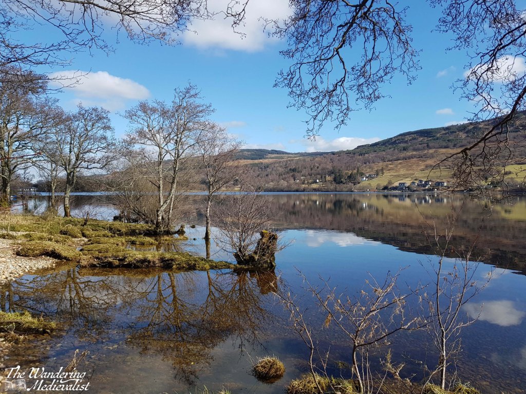
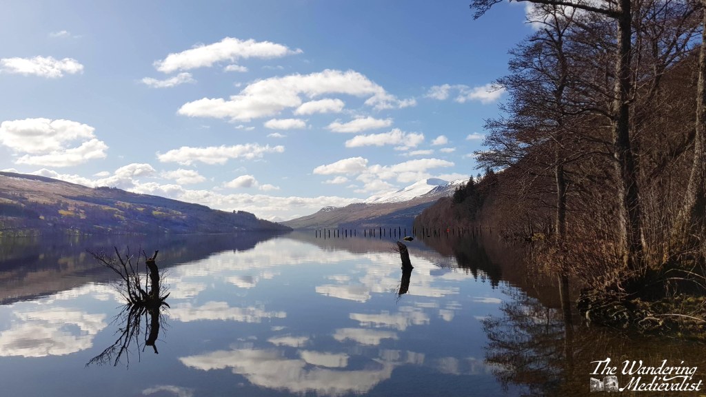
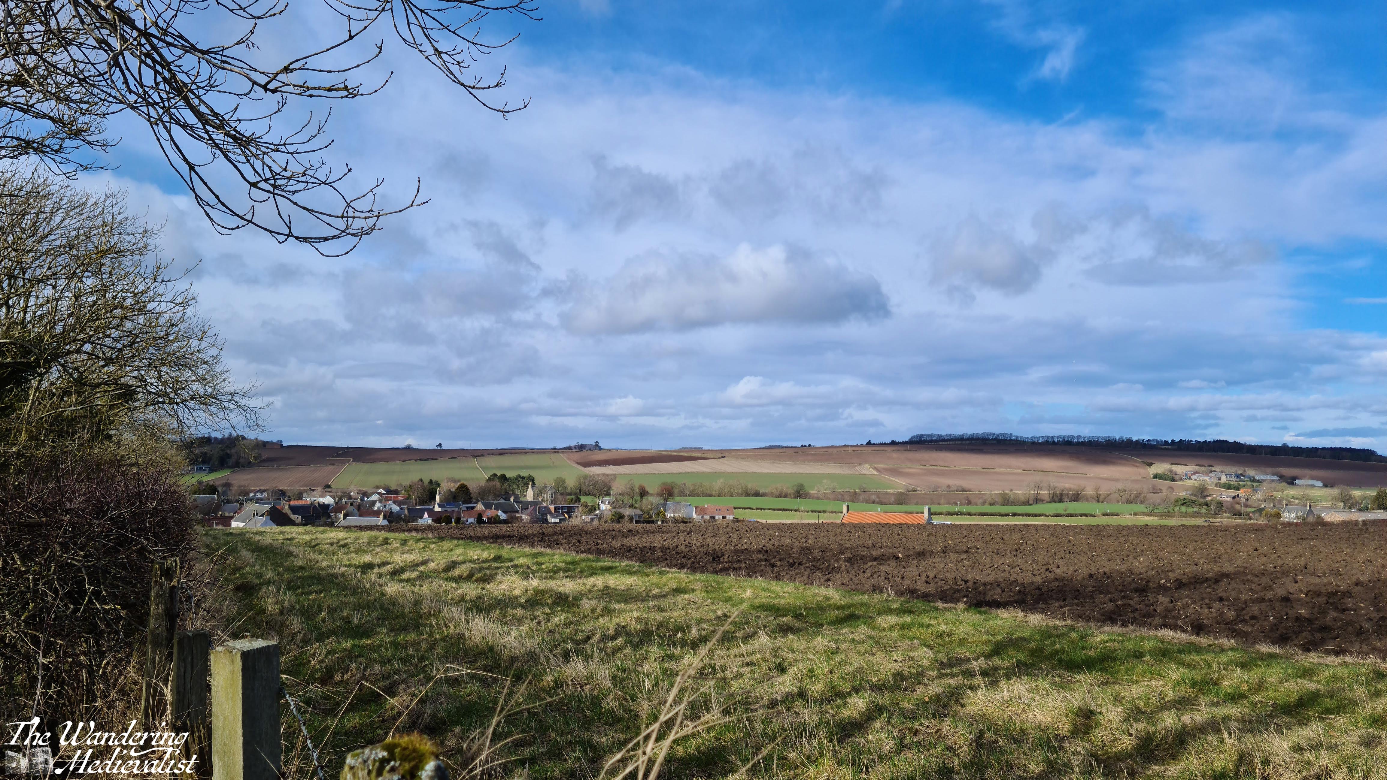
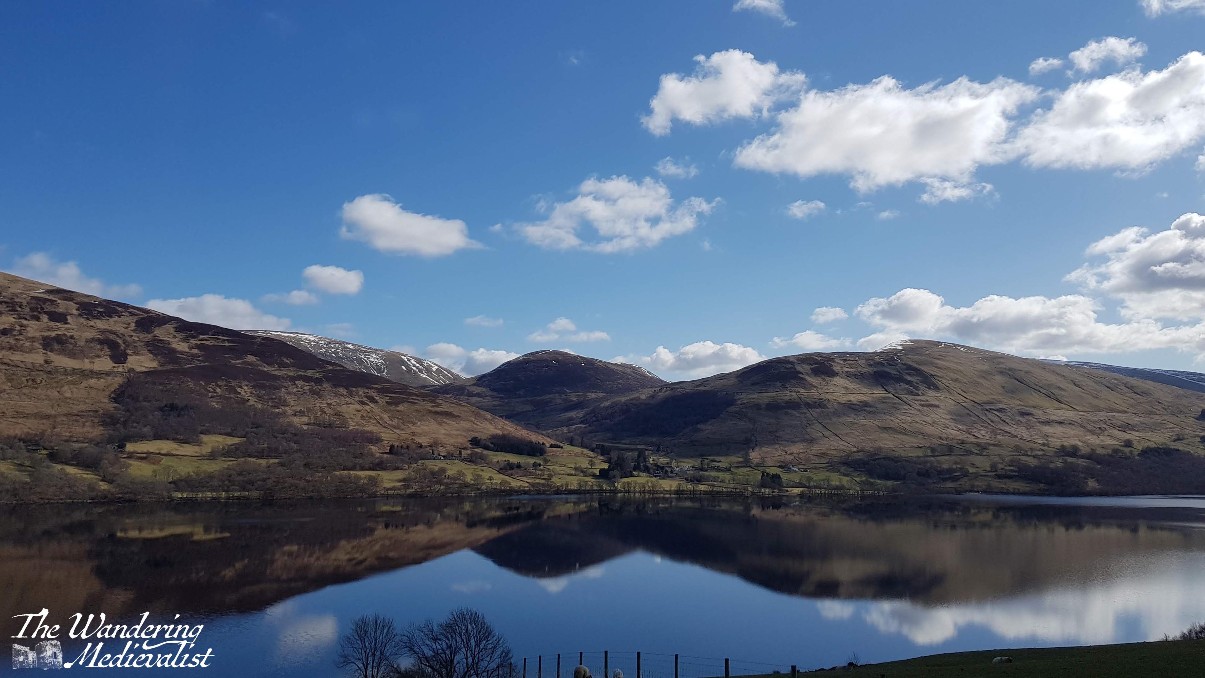
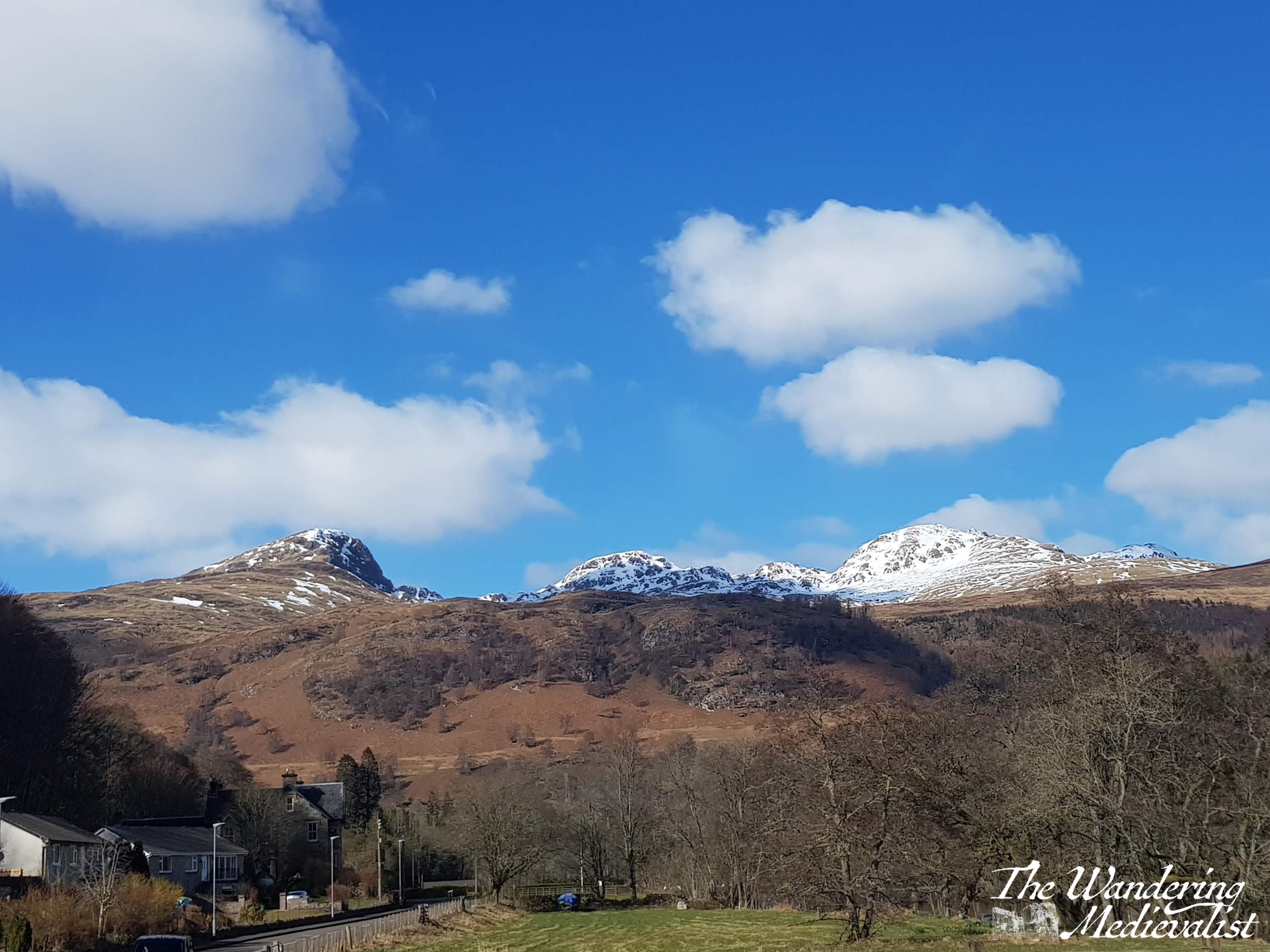
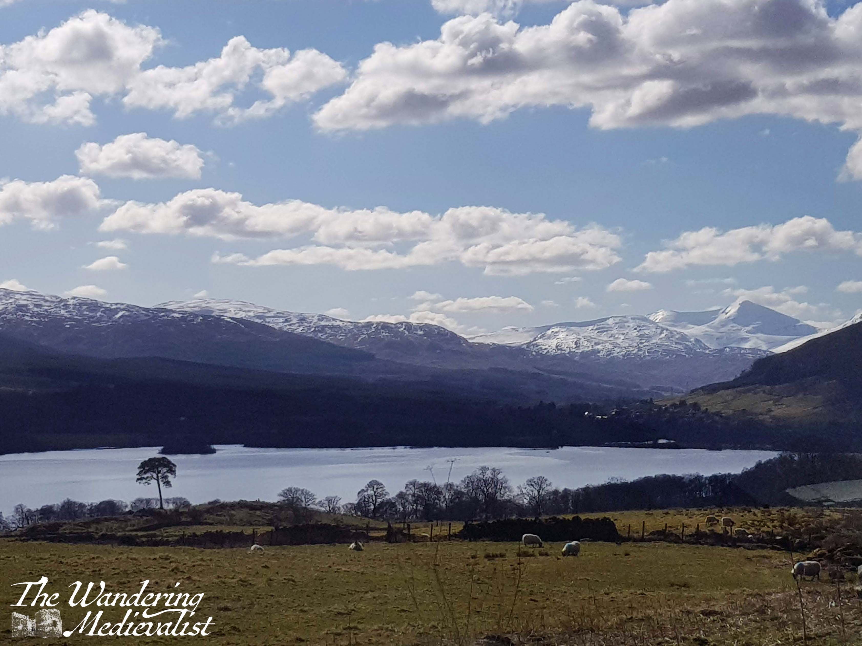
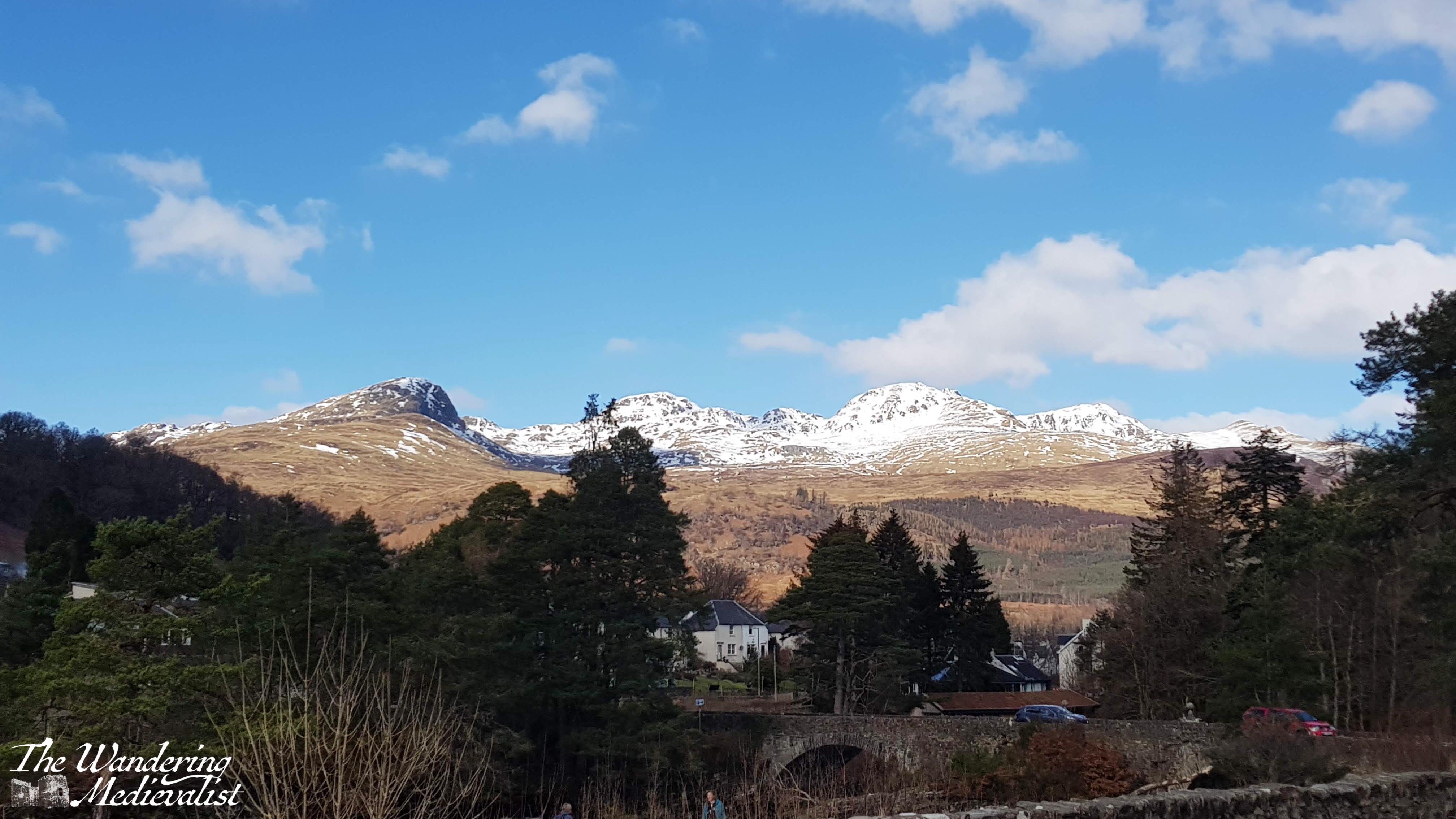
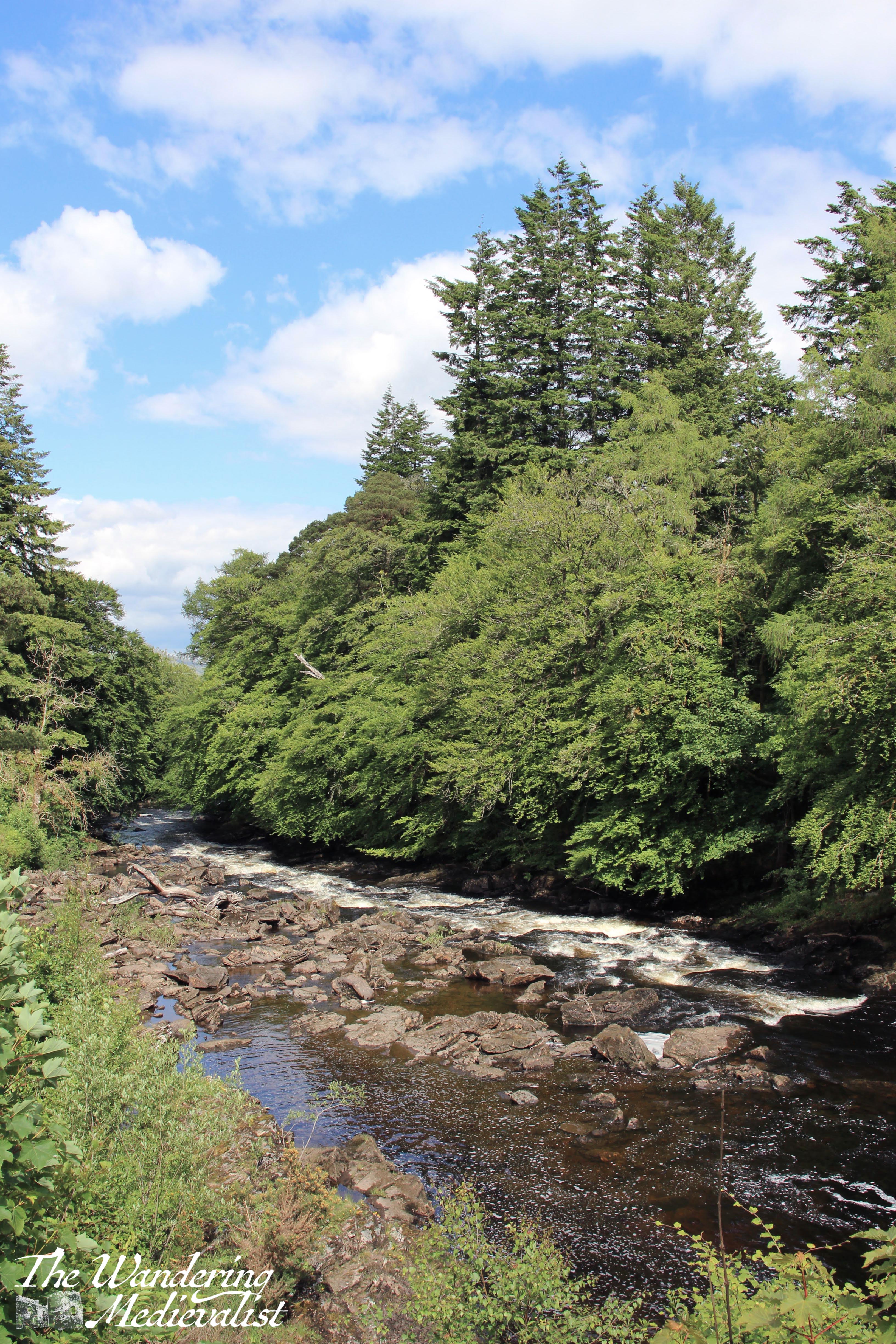
Starting in Kenmore, the drive is lovely – though narrow in places – passing underneath Ben Lawyers and providing gorgeous views across the far side of the loch, as well as the mountains at the far end. In March, both Ben Lawyers and the far mountains were capped with snow, stunning against the blue sky.
The road stays quite high on the hillside for most of the south-western end of the loch, then winds gradually down into the town of Killin, passing the town golf course on the left. One must traverse the town entirely in order to reach the falls, about two miles. It is possible to park somewhere in the town and walk to the Falls, and at busy times of year this may be advised or required. Killin has a some nice shops and cafes for refreshment, as well as Bridge End Mill, a small gift shop with plenty of Killin memorabilia.
Our visit, in mid-March, was before many crowds descended and so we drove across the narrow bridge – more on this shortly – and found a spot along the road on the river side. There is a decently long lay-by here where it is safe to park, but here as well as on the bridge it is important to be very aware of the road traffic which can be quite fast and quite large – coaches and lorries are regular users.
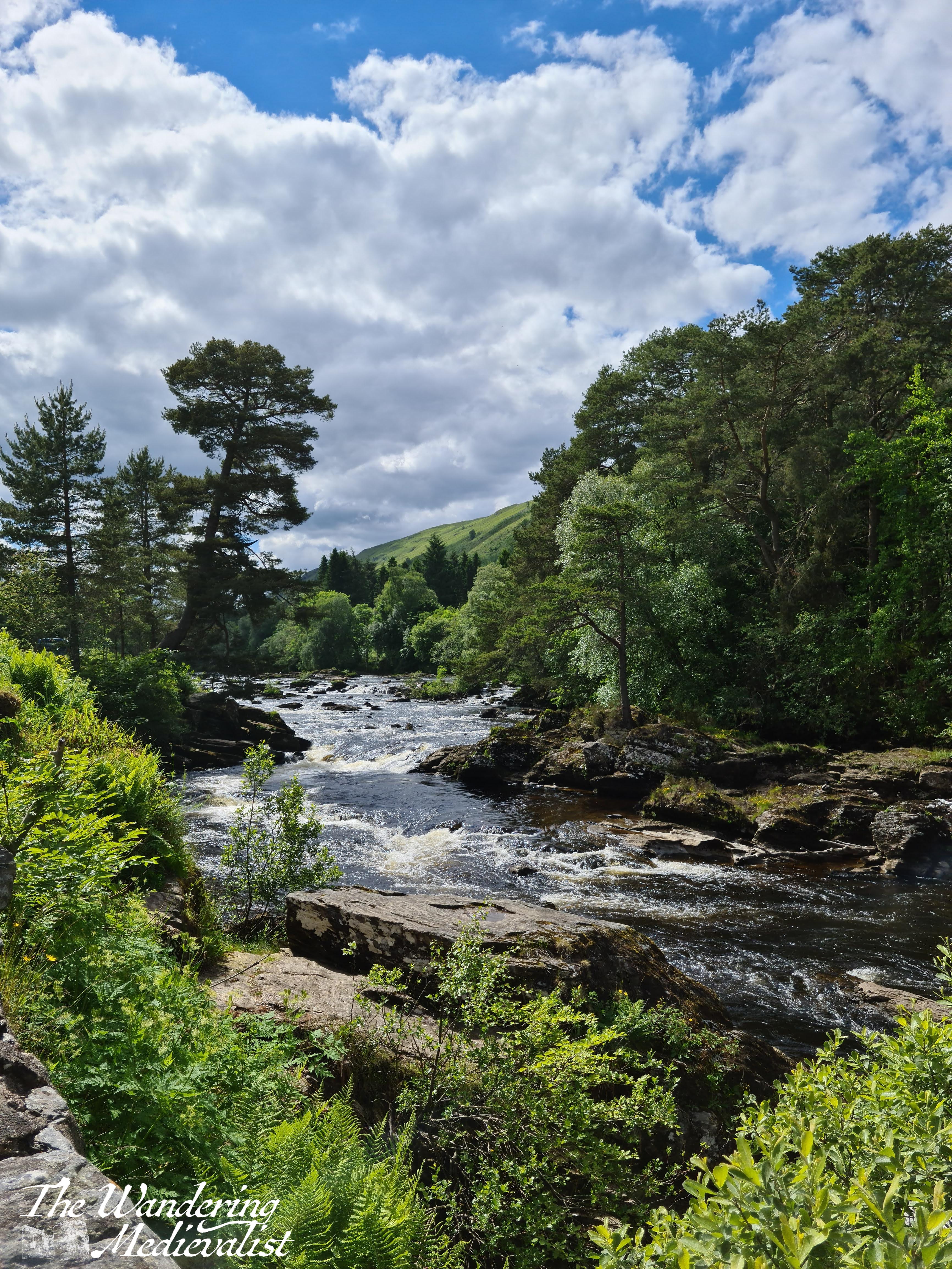
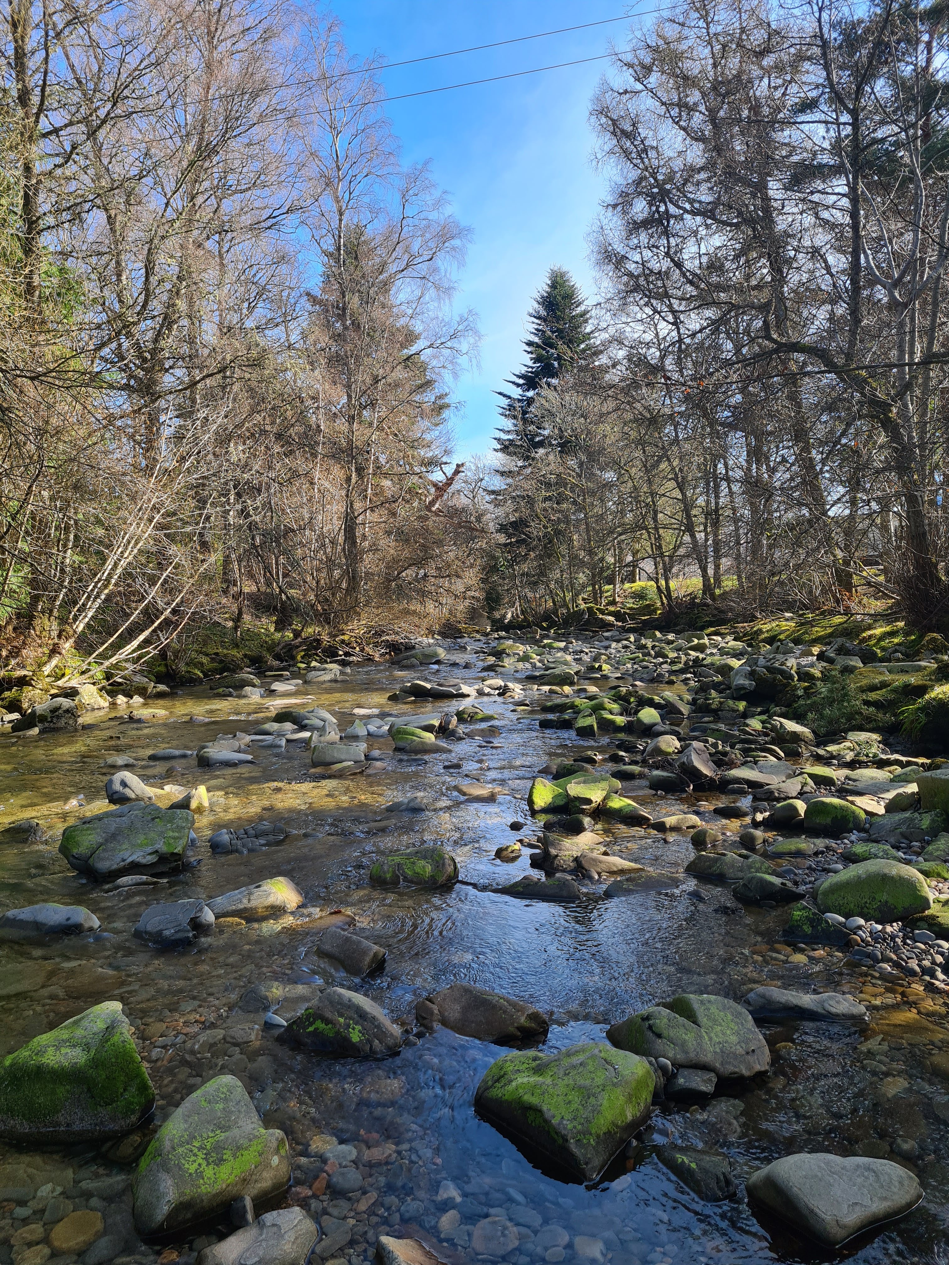
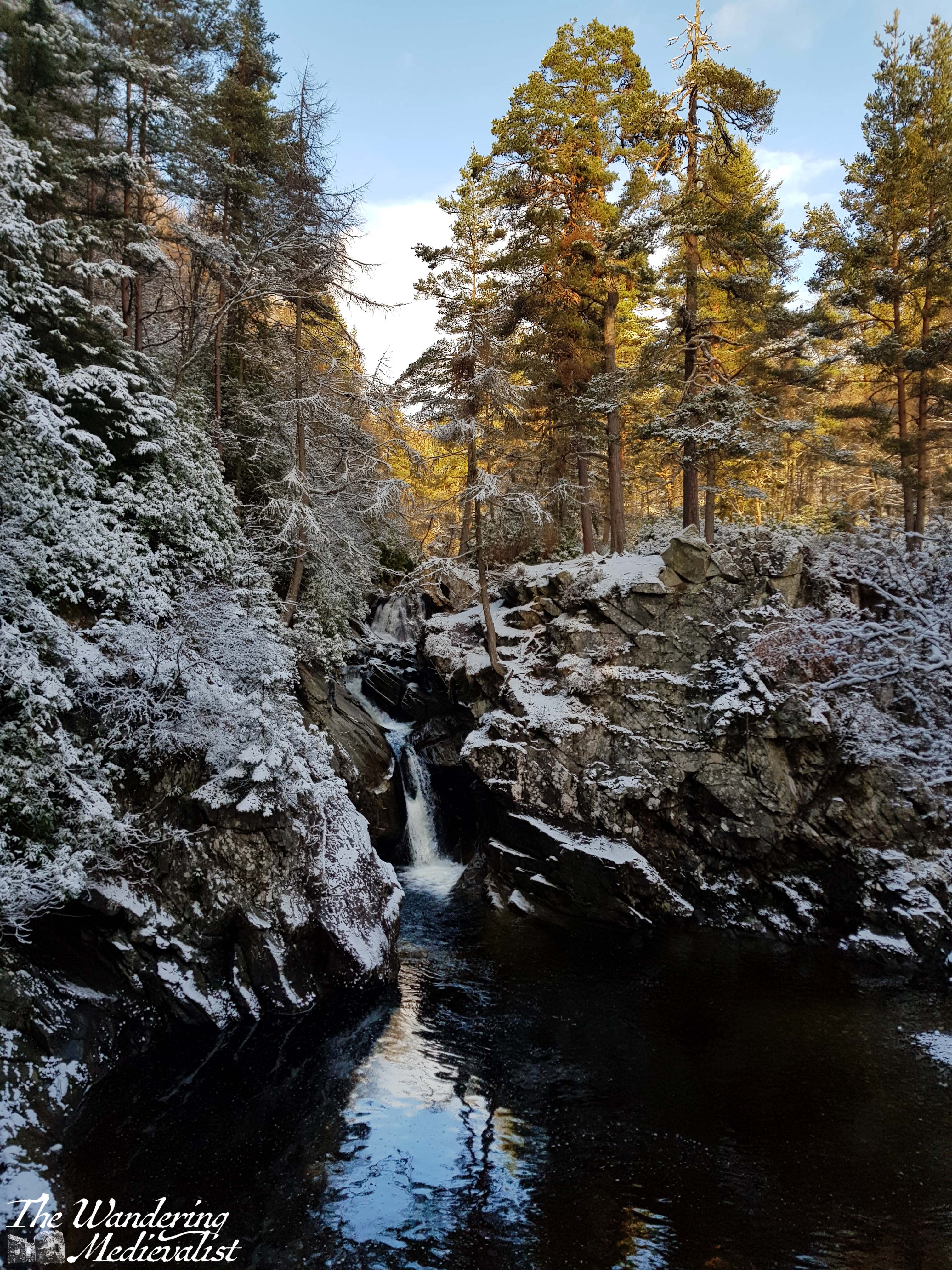
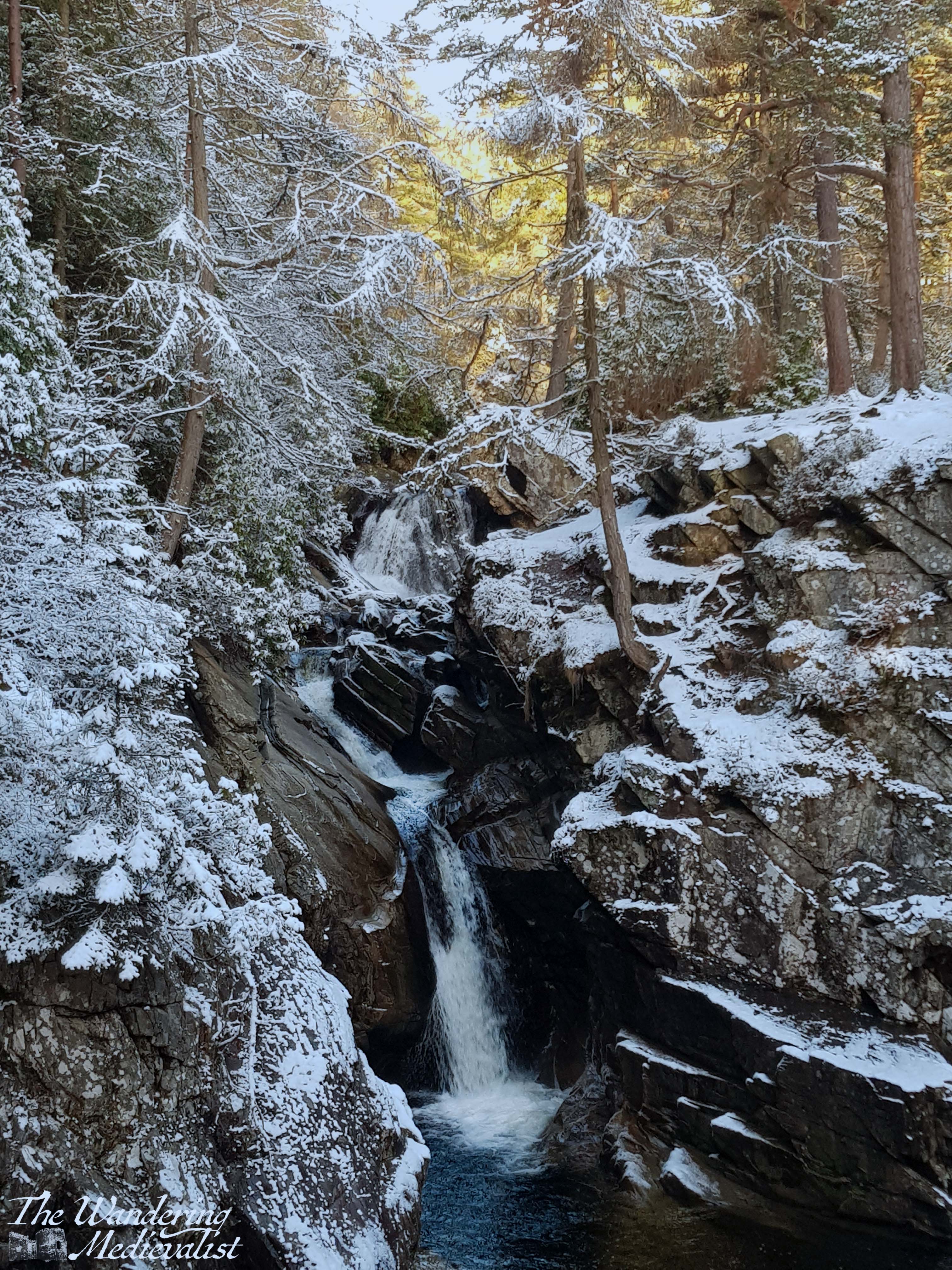
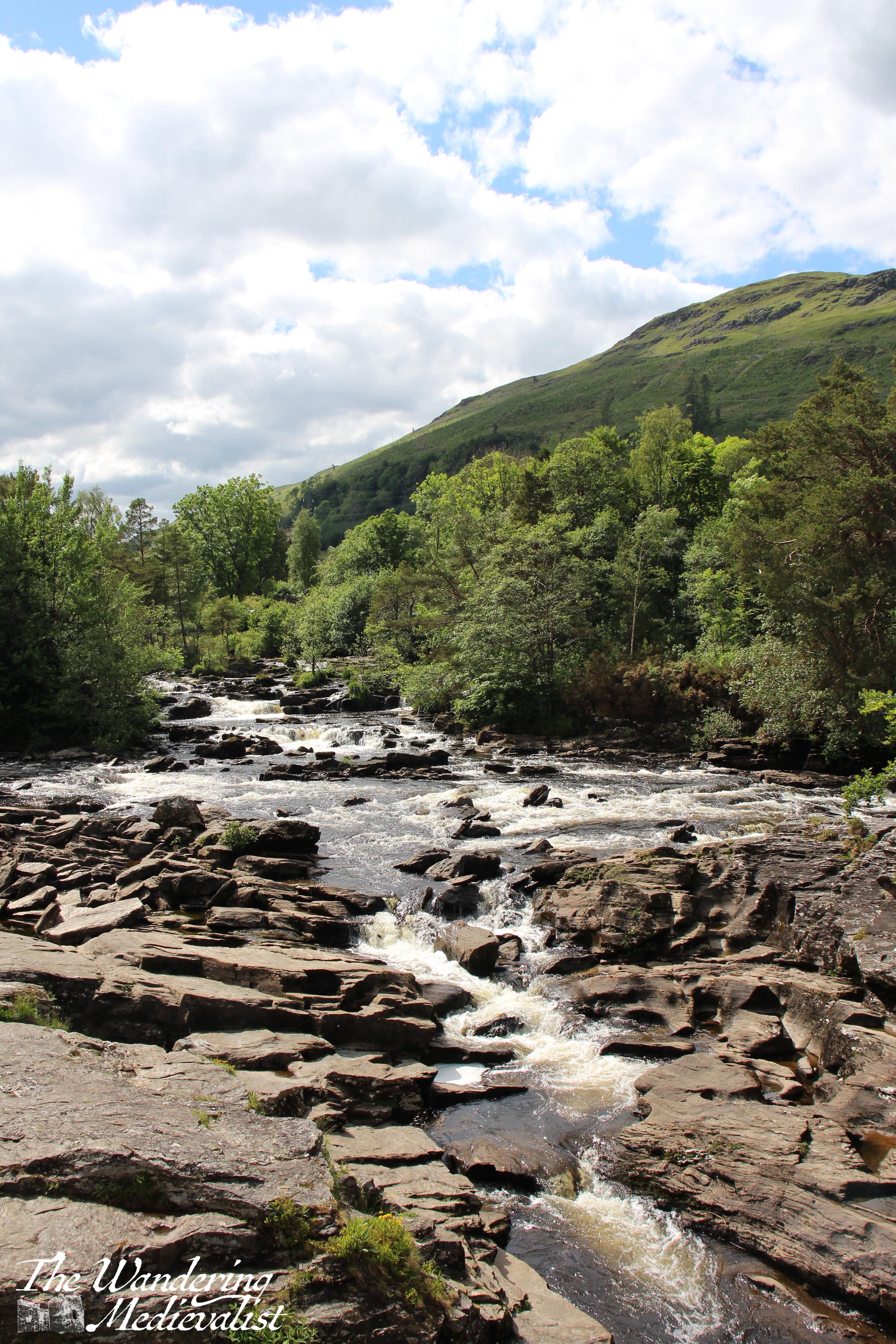
Once parked, it is time to head back towards the falls proper. Just before, or really more splitting the falls, is a wooded island, and there are some lovely views back up the river.
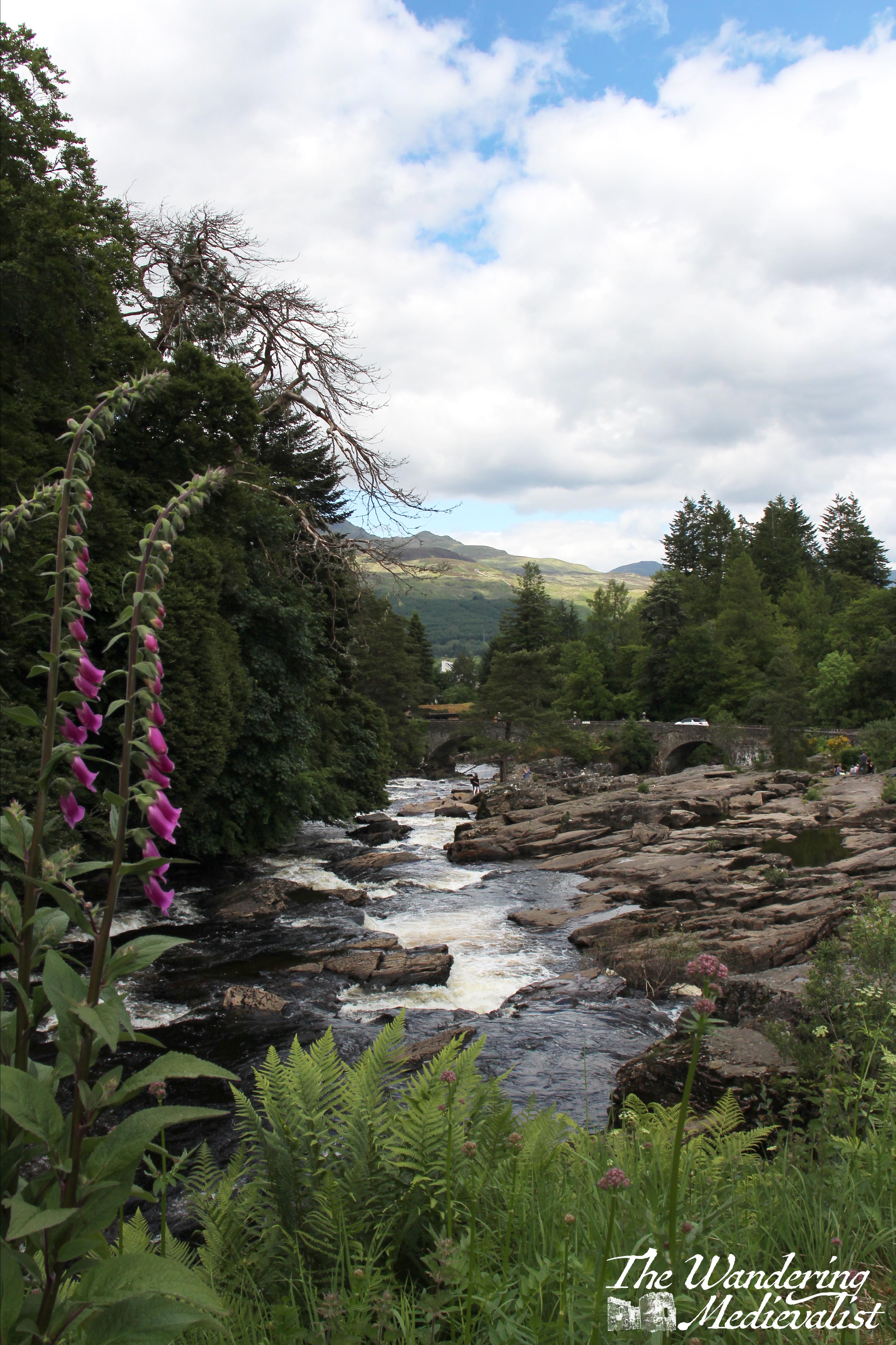
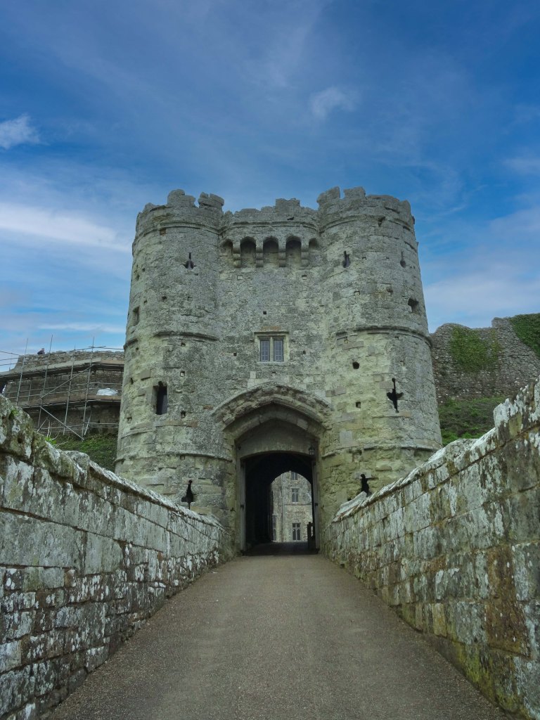
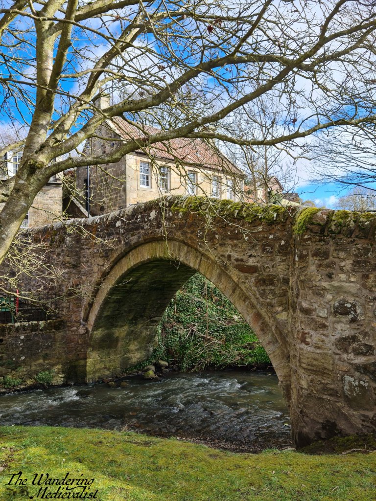
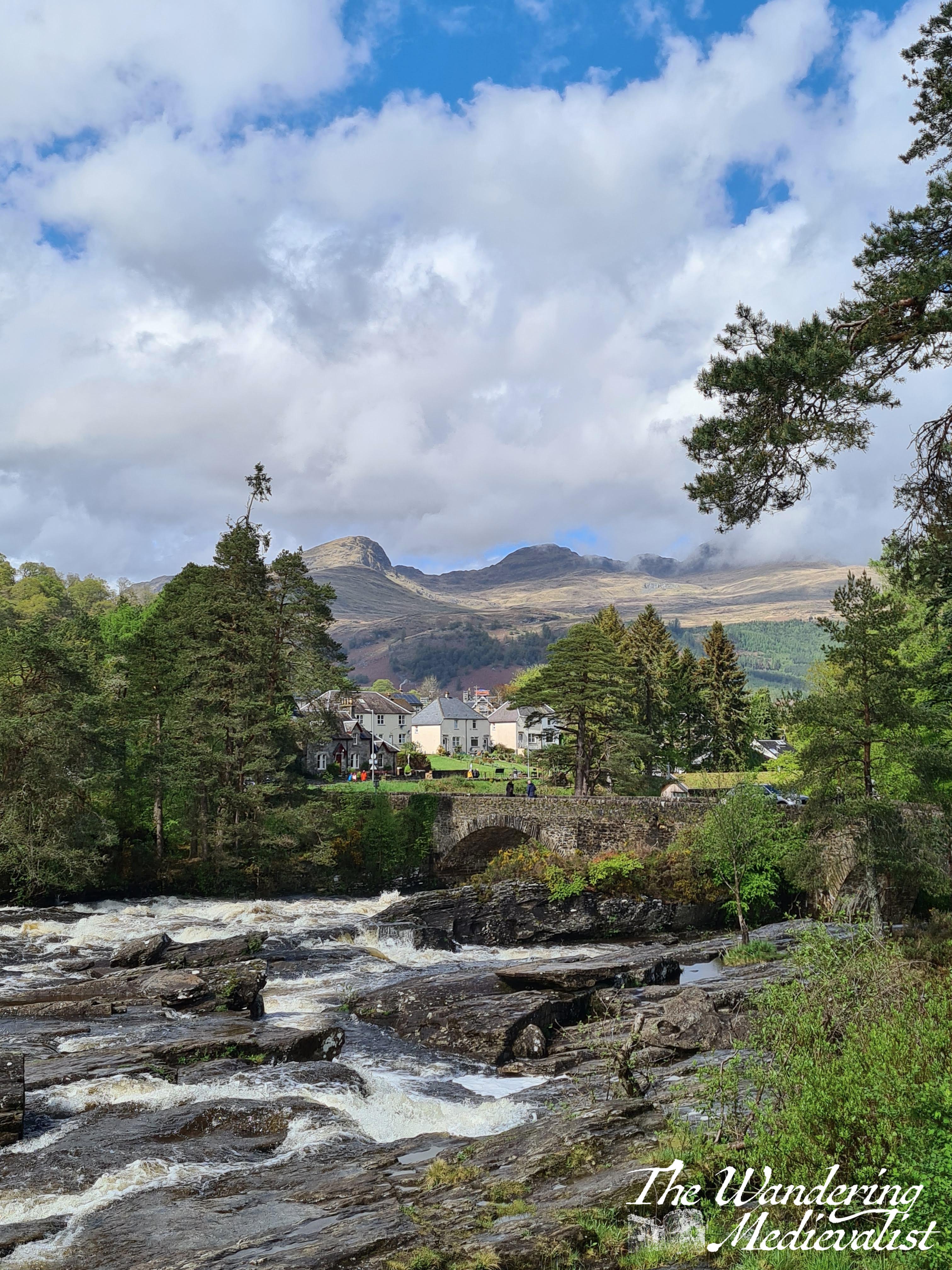
The bridge that spans the falls was originally built in 1760 but was washed away in a flood and re-built in 1831. Its size is indicative of a time well before cars, as it is so narrow that only one vehicle can traverse it at a time.
Closer to this bridge, it is not uncommon to find groups of people scampering over the rocks, and indeed when the water is low you can spend a good deal of time exploring. Sturdy shoes and confident feet are required.
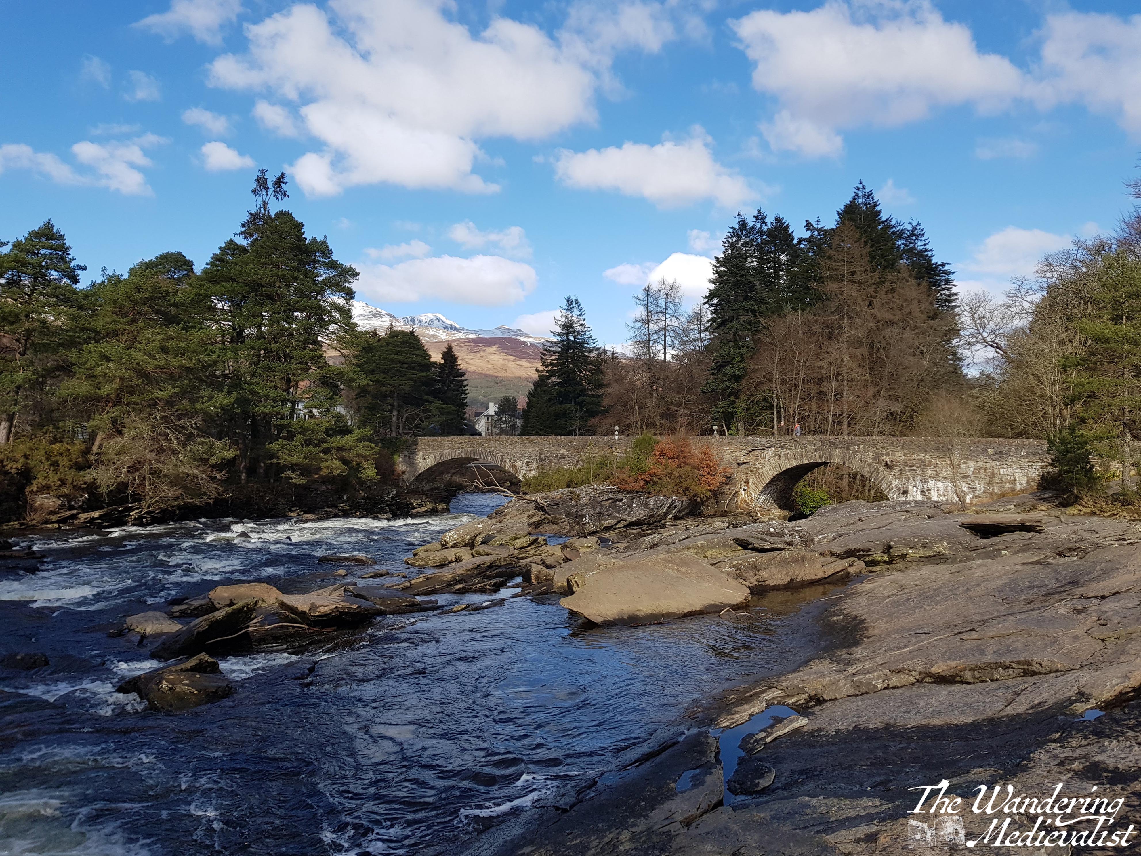
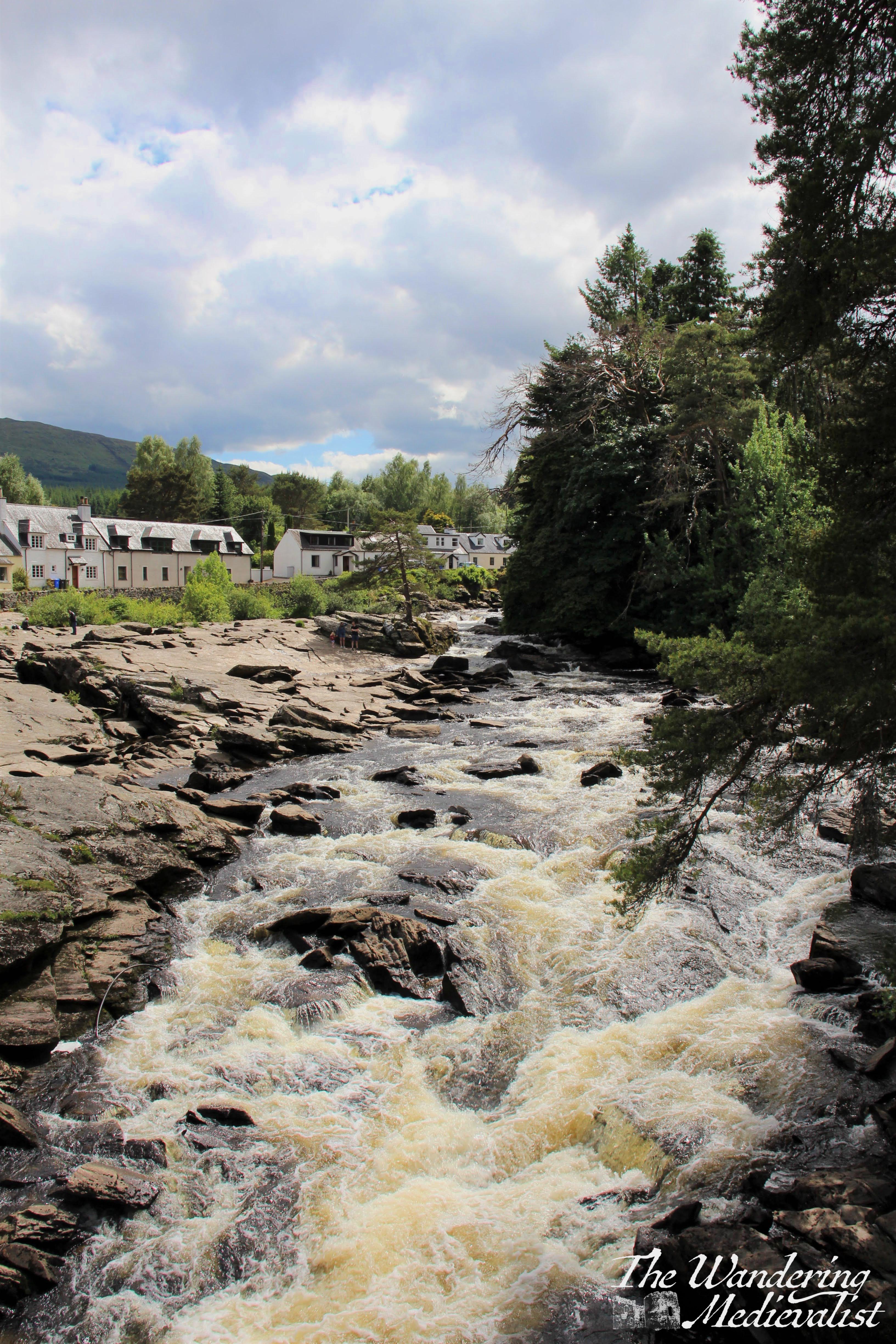
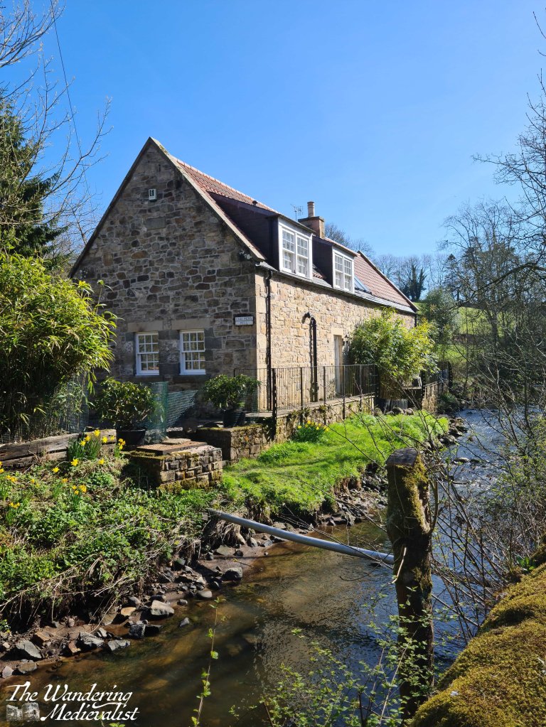
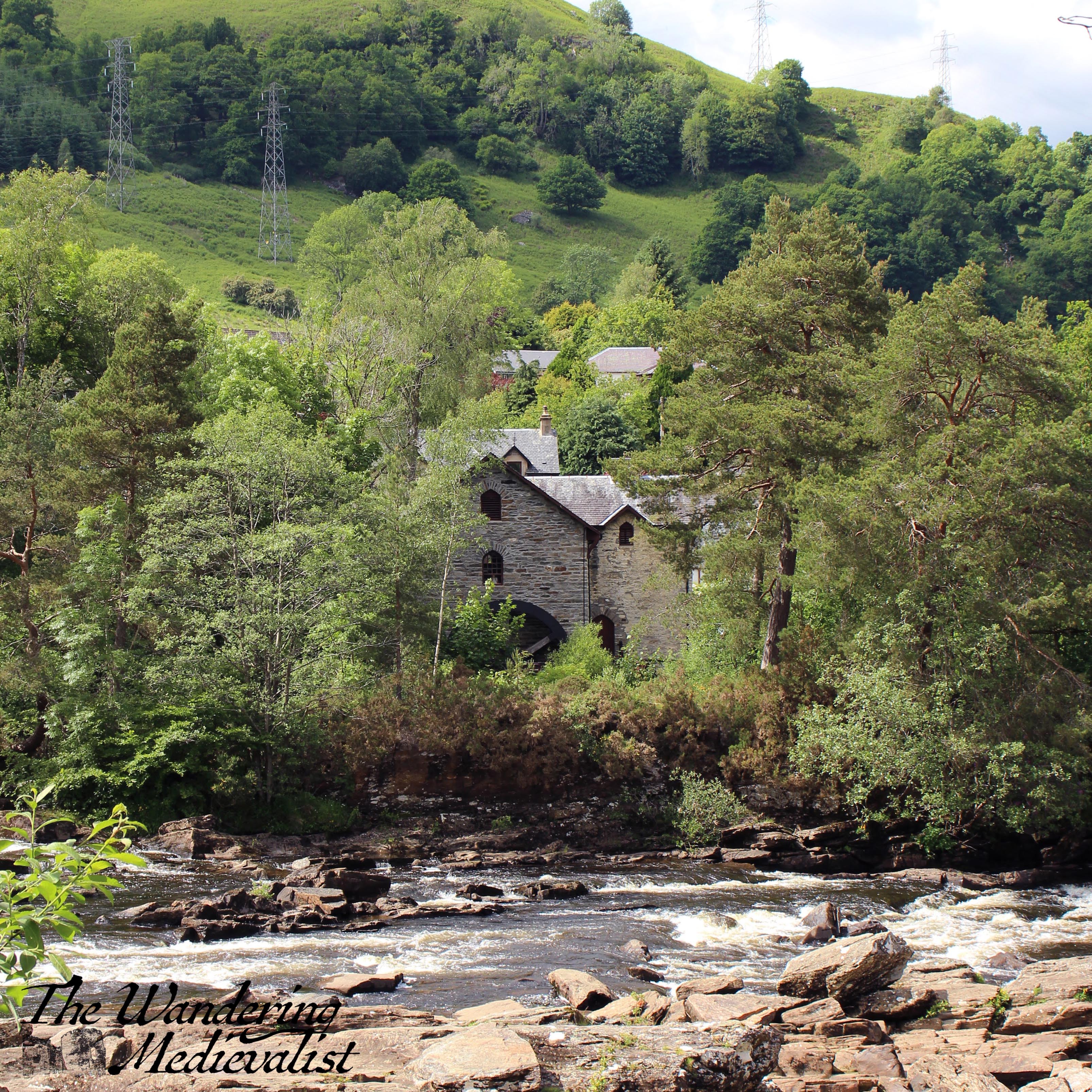
I was lucky enough to catch the falls without too many people in the way. On the far shore is St Fillian’s Mill, built just after the completion of the bridge. For some time in it operated as the Breadalbane Folklore Centre, though now appears to be closed.
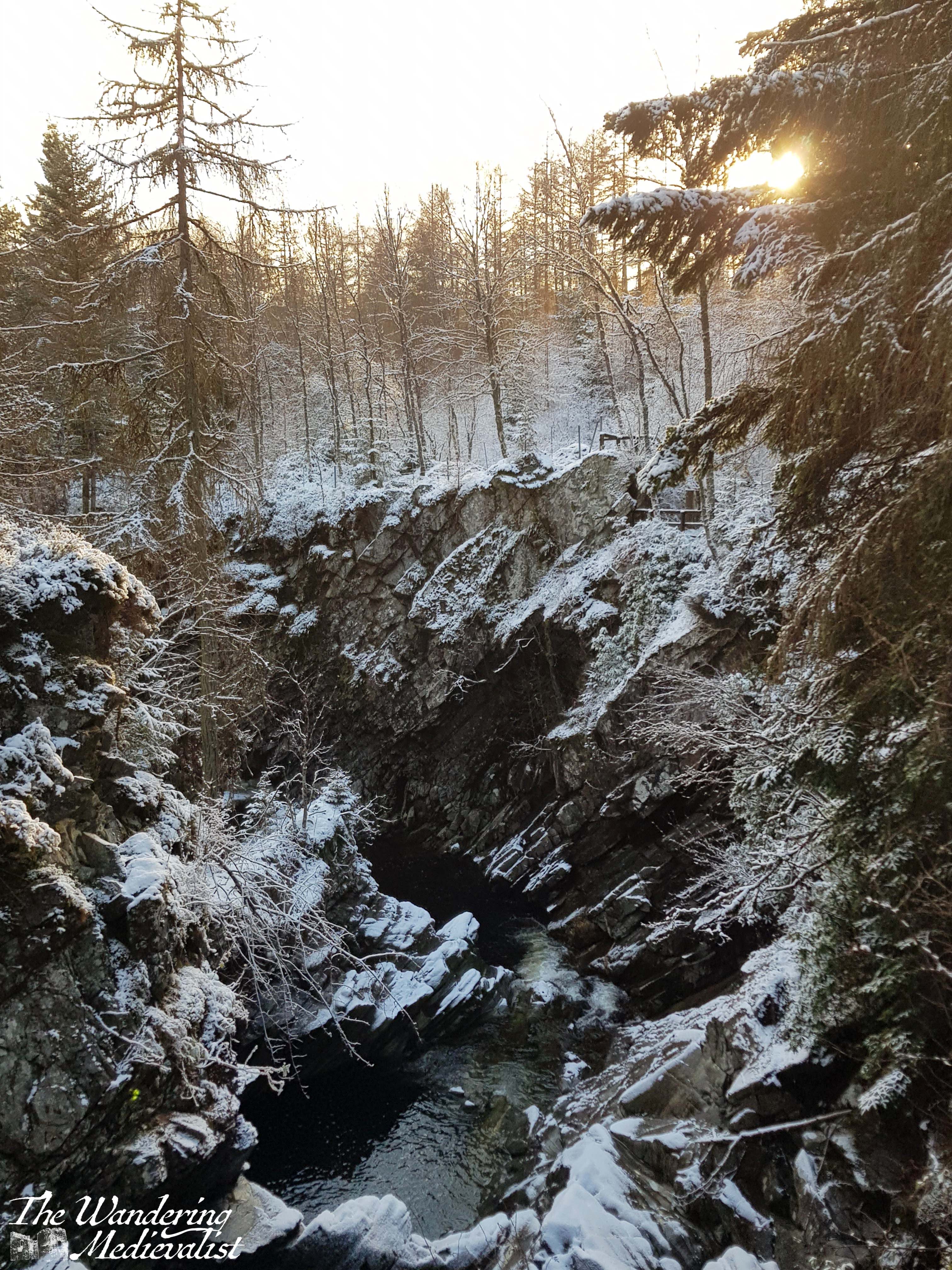
Once you have explored the rocks, you will almost inevitably want to get a picture or two from the bridge, or perhaps wander towards the gift shop. To do so, you must cross. As mentioned above, the bridge is narrow and traffic is regular, so pedestrians need to be sensitive to the traffic patterns. There are a few places where an outcropping allows one or two people to get off the road safely, but in general the bridge should be traversed incredibly carefully, and as quickly as possible.
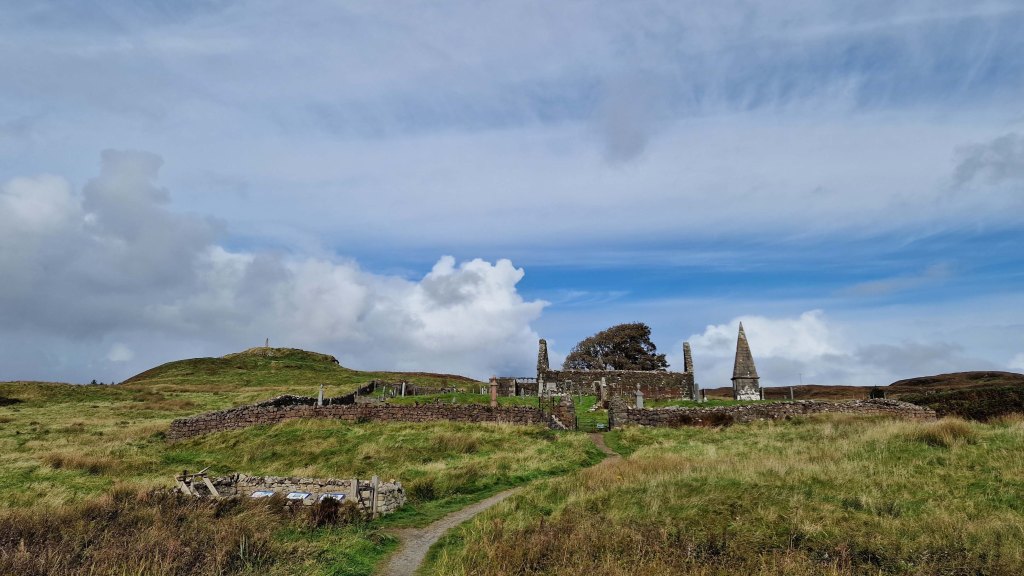
One sight worth exploring is the island formed by the river, Ennis Bhuidhe, which is the burial place of Clan MacNab. It has never been open during my visits, but may be now that pandemic restrictions are lifted.
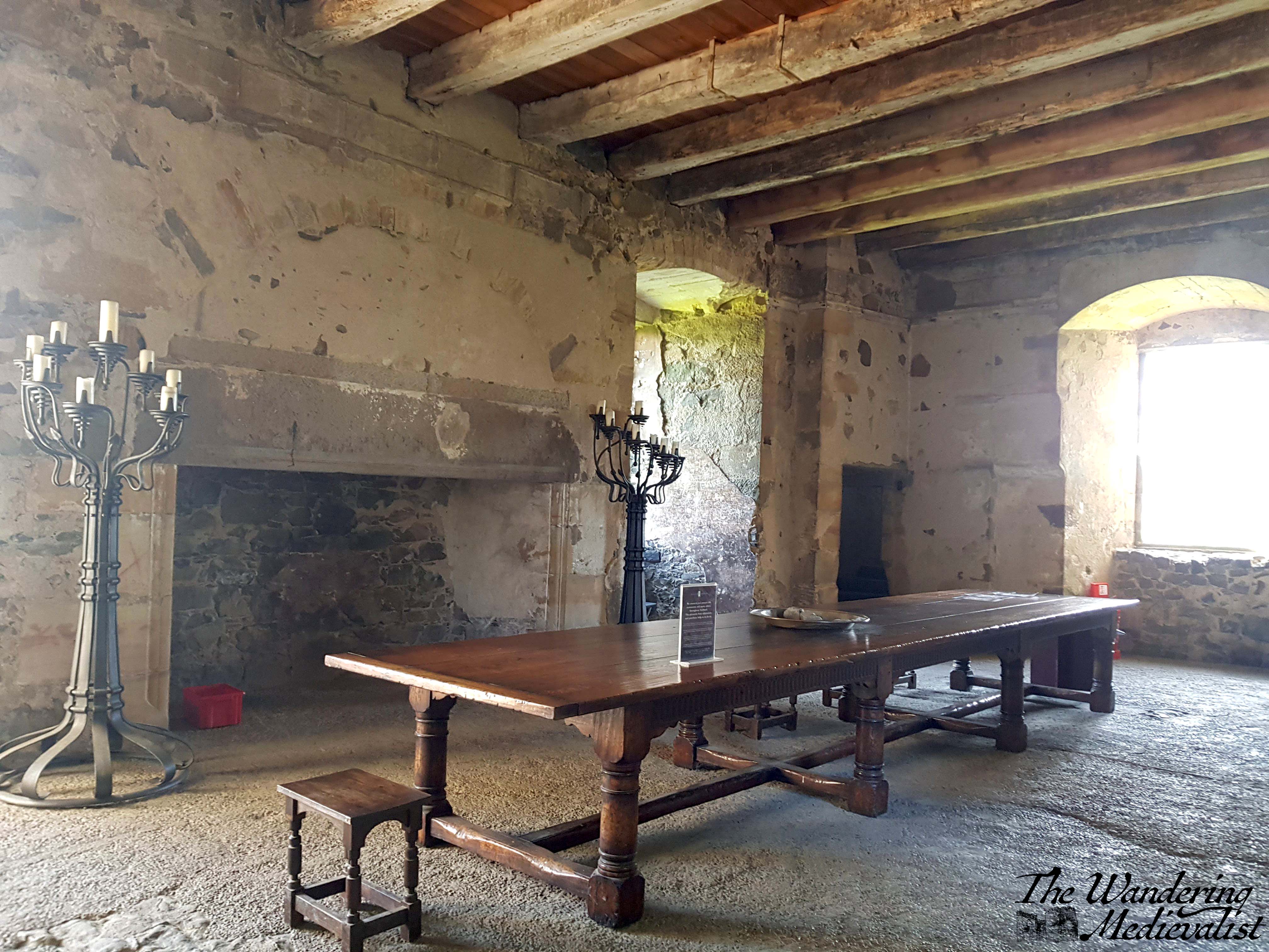
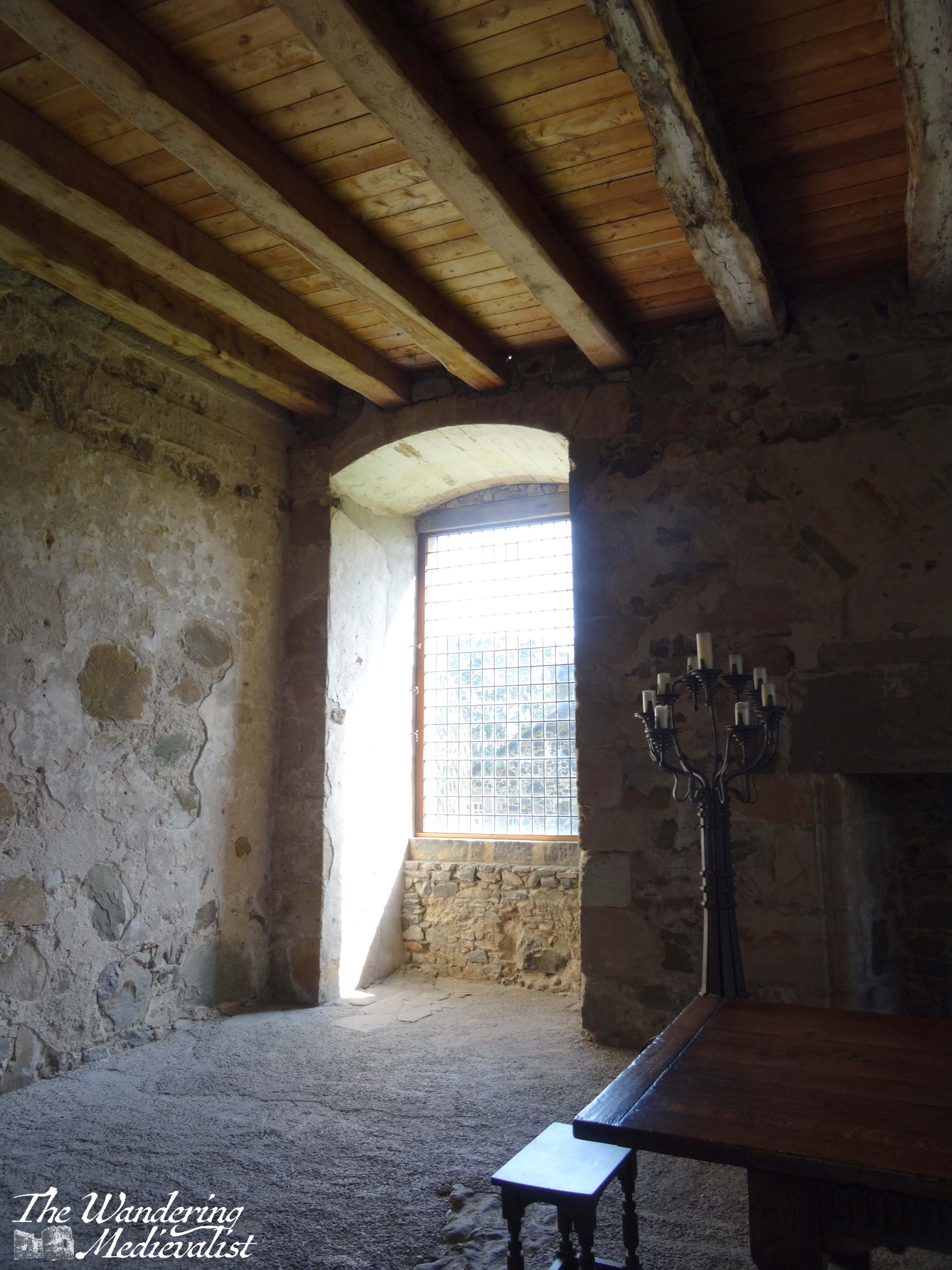
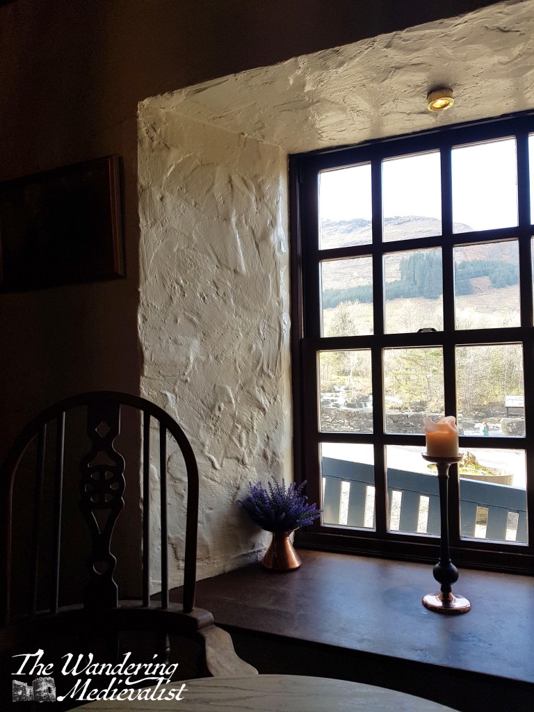
If you do not find yourself eager to take your life in your hands crossing the bridge, you can find excellent refreshment at the Falls of Dochart Inn. We stopped in to get a coffee and soda next to a roaring fire and beautiful timbered room that once housed the blacksmith.
In the summer they were selling coffee, cold drinks and the all-important ice cream. What I have not yet had time to do is explore the walks that I know lead from the Inn back into the woods and perhaps along the River Dochart towards where it feeds into Loch Tay. But even if you are not able to walk far, this is certainly a sight worth seeing.