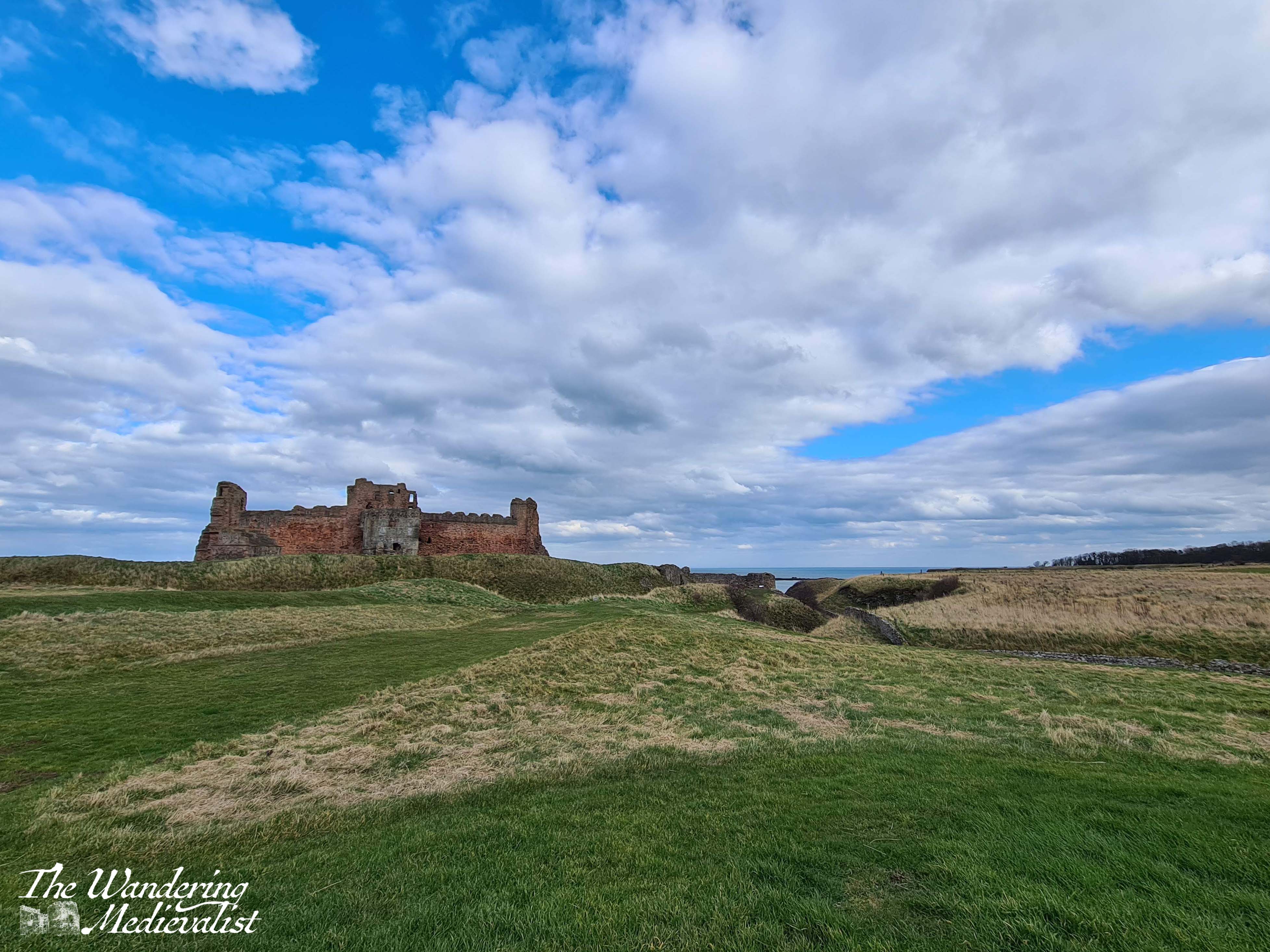
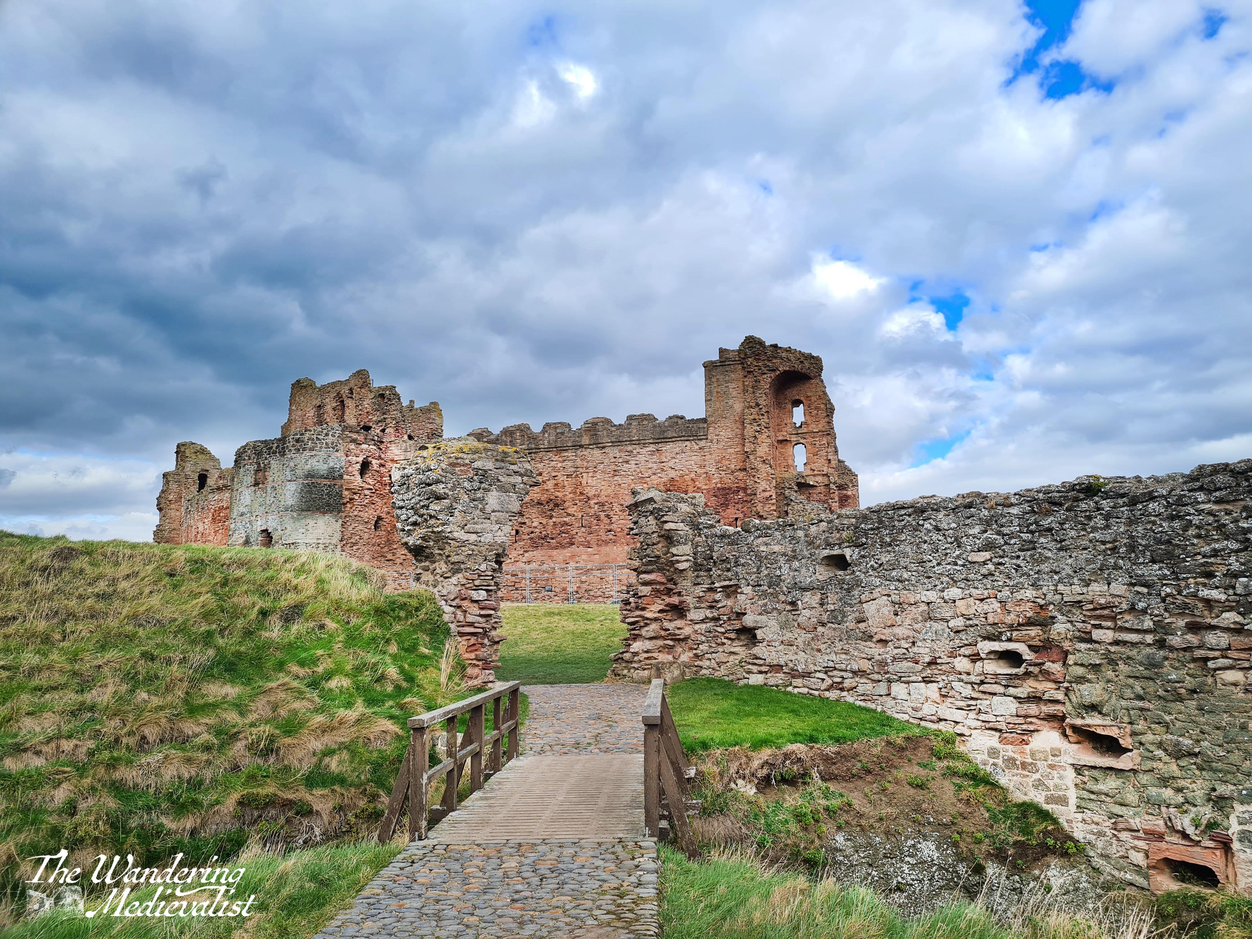
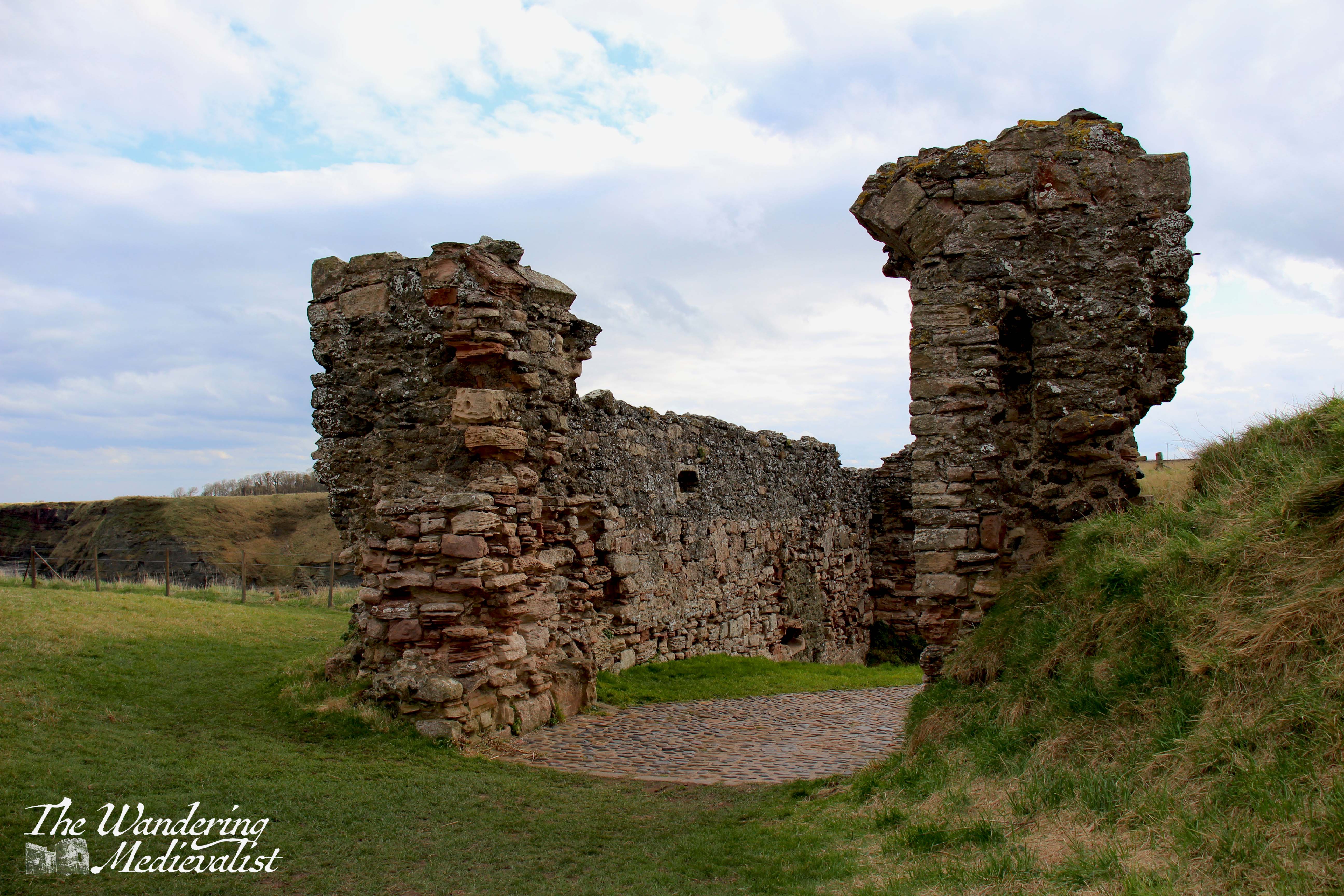
The Isle of Skye is a destination that everyone tells you is a must-see. First off, everyone is correct. But for any number of reasons – the distance, time, work – I have never managed to get there, even when most of my family have done so, usually as an add-on to a visit with me.
Finally, earlier this month, I was able to reach the almost mythic isle and was incredibly lucky to experience three out of four days of beautiful weather (one day included hurricane-force winds, but it was clear). Even if we had not had lovely sun for most of our visit, I feel I would be affirming that Skye is, indeed, a place that one really should see, particularly if one has any kind of affection for rugged dramatic mountains and scenery that is quite literally breath-taking.
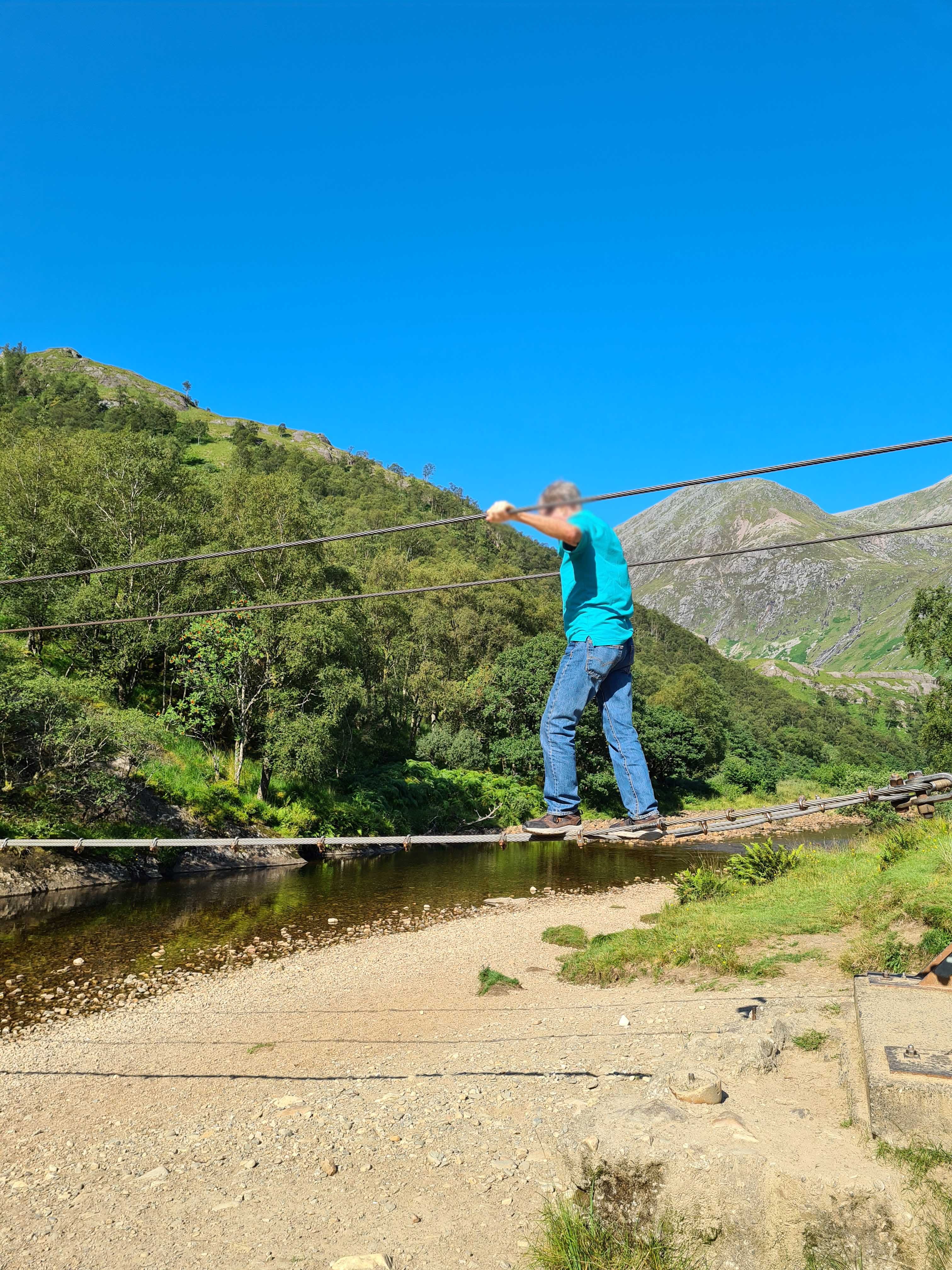
In fact, I took so many pictures that I have had to turn them into videos, and split my posts into days, so as not to overwhelm – I’ll link it at the bottom of the post. There were a few views that I missed as I was the designated driver on this adventure, but they will remain imprinted on my brain and I did my best to channel what the other half reminds me, ‘Sometimes it’s ok to just enjoy the view and not take a picture.’
Even just the experience of driving over the Skye bridge and following traffic as the road gradually lifts over the mountains was enough to make me long for the time to do it again.
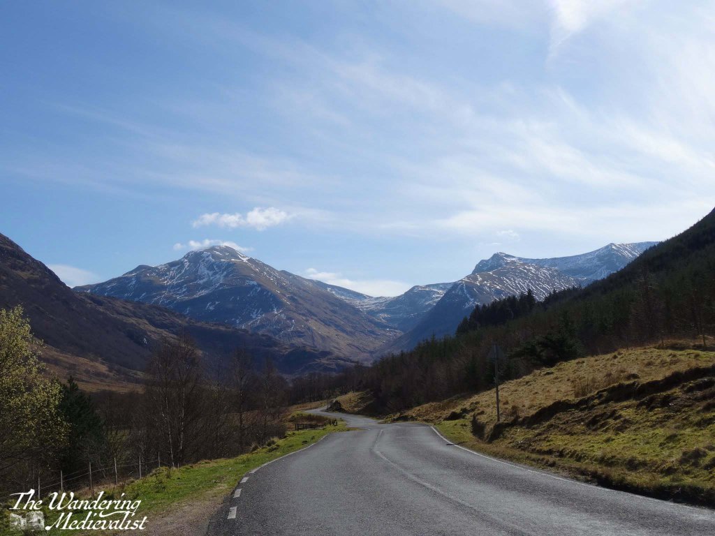
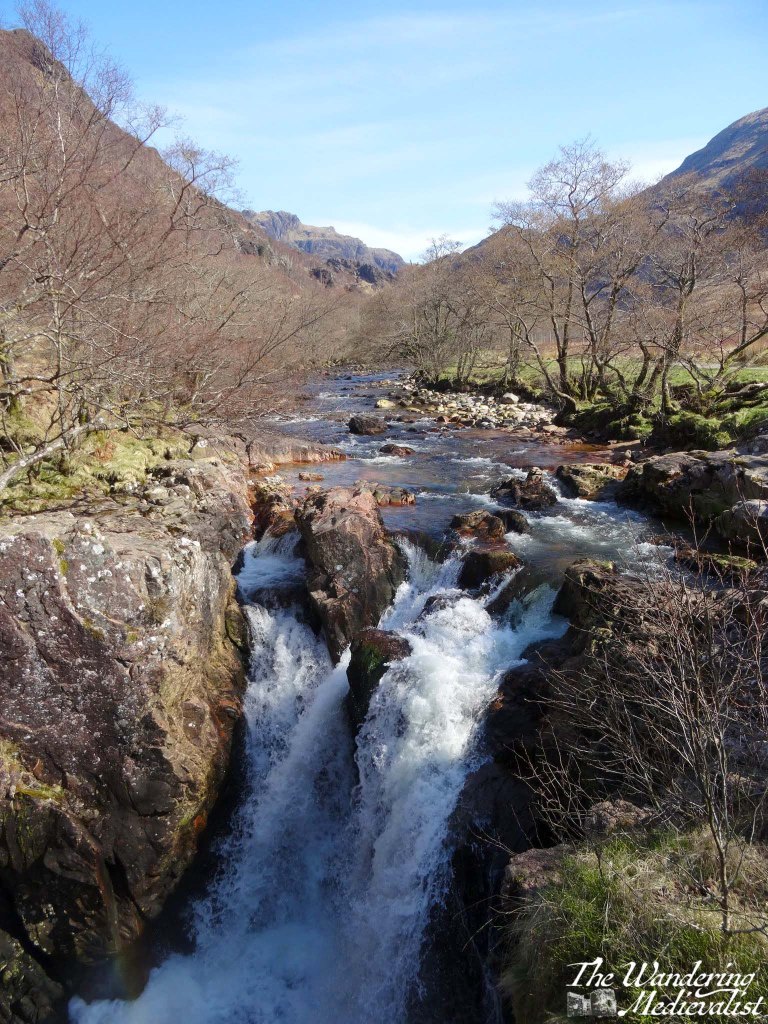
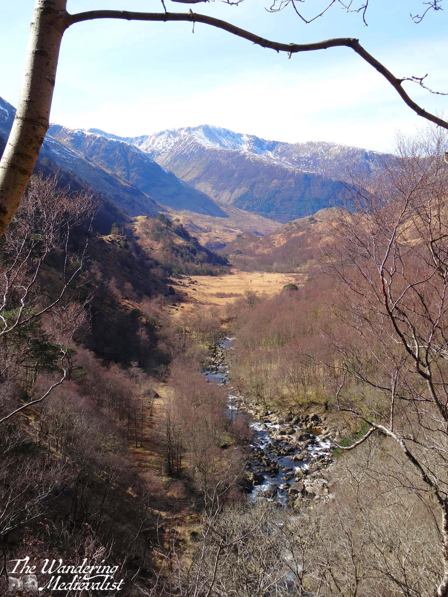
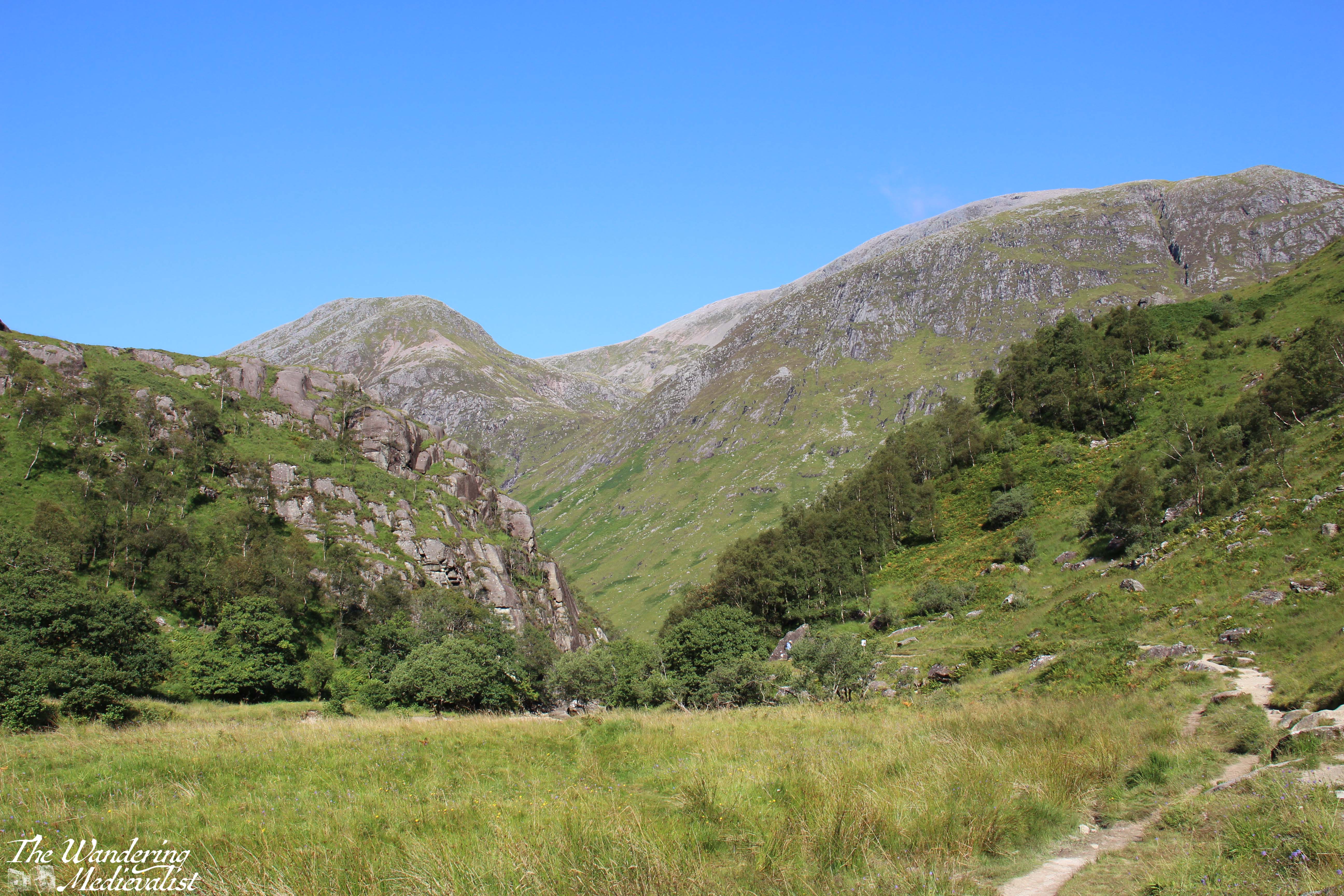
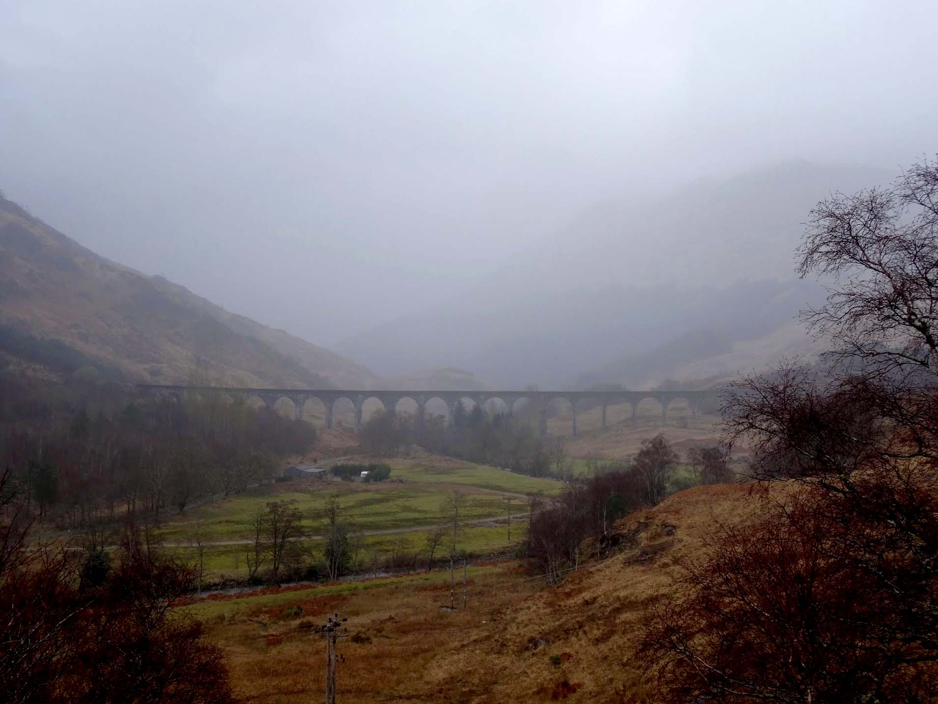
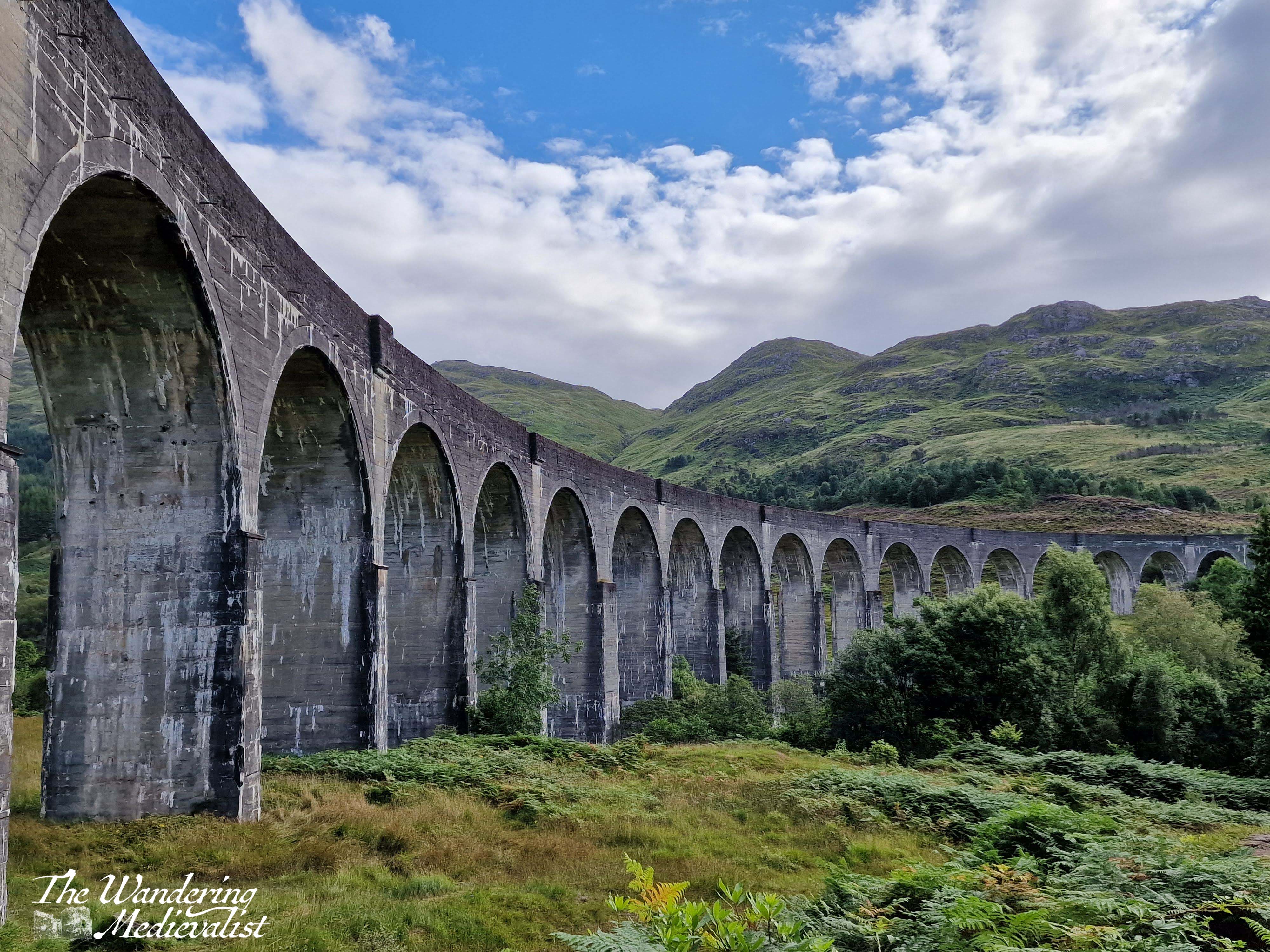
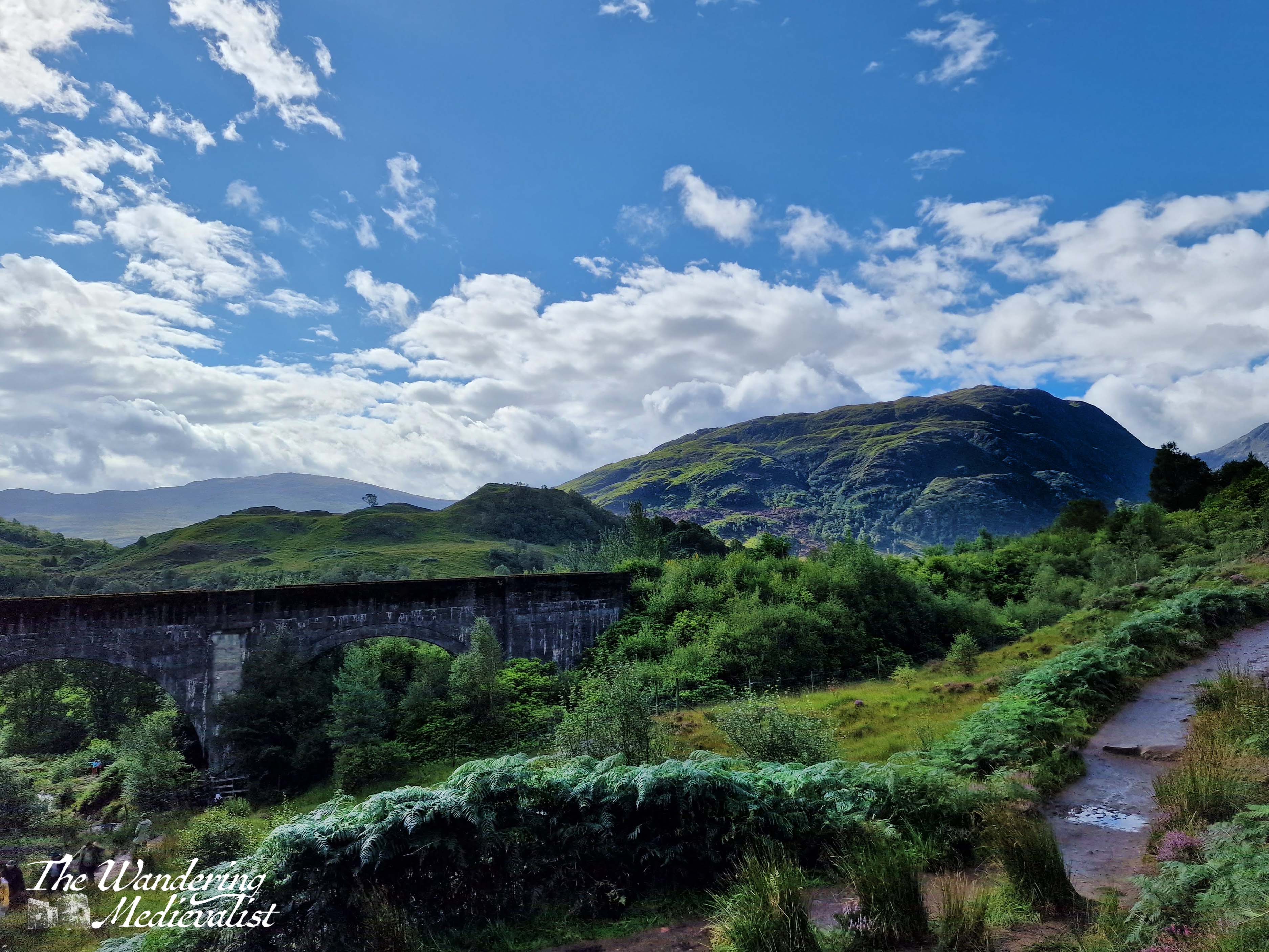
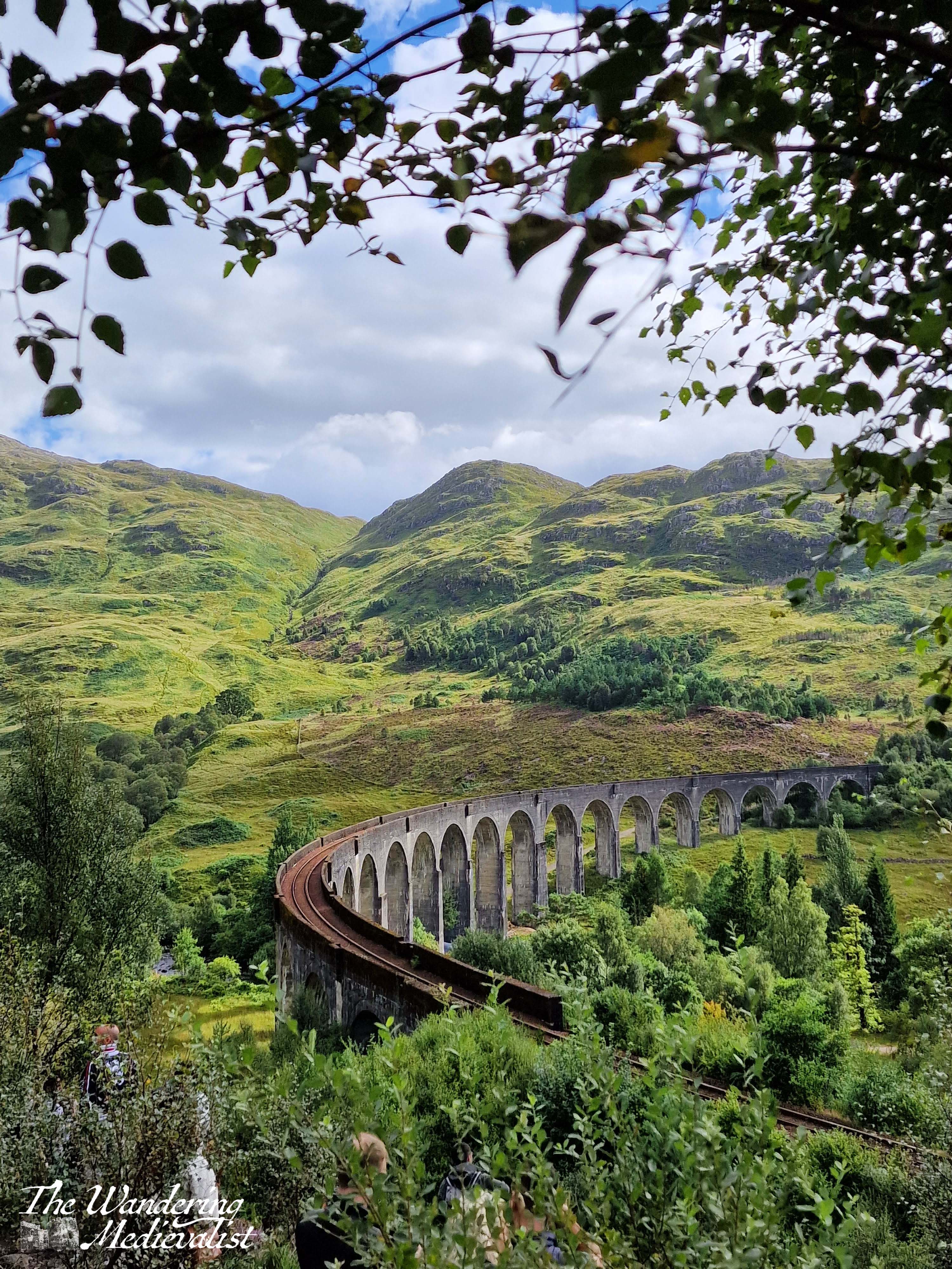
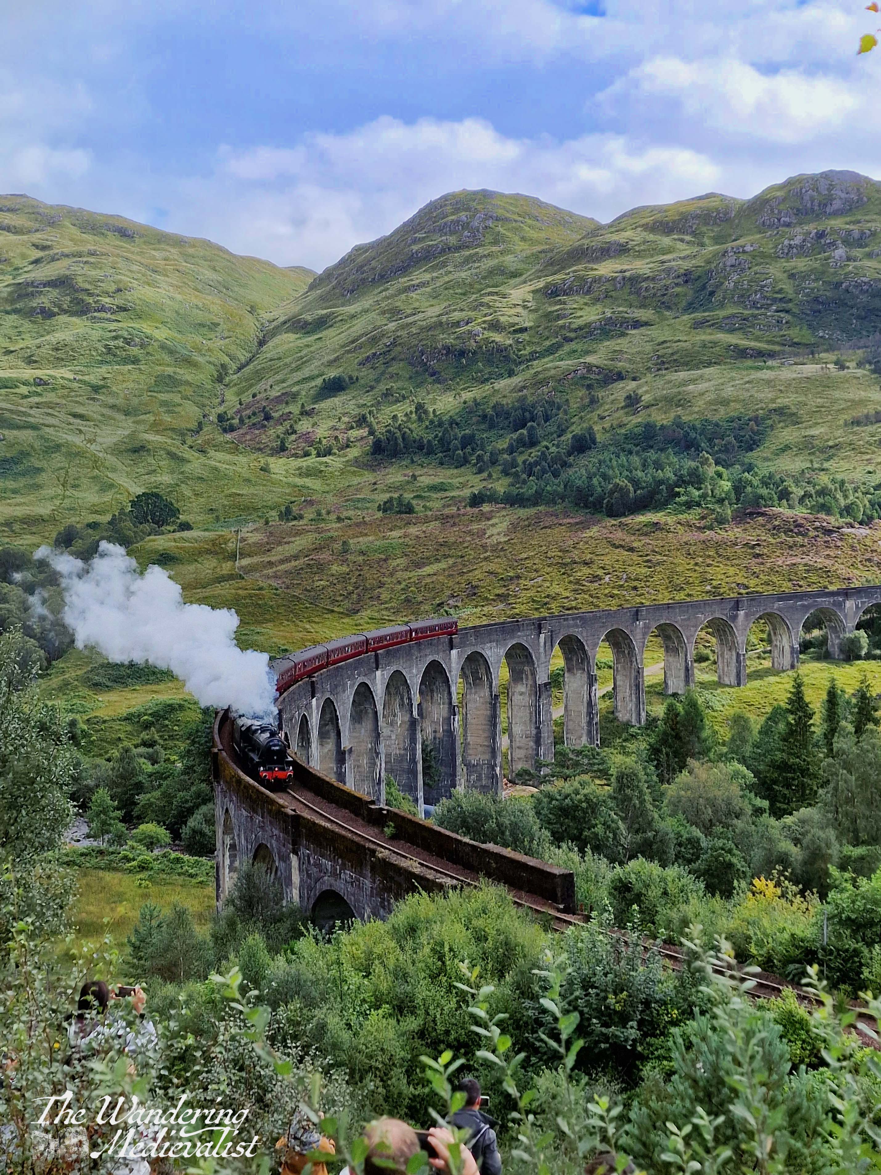
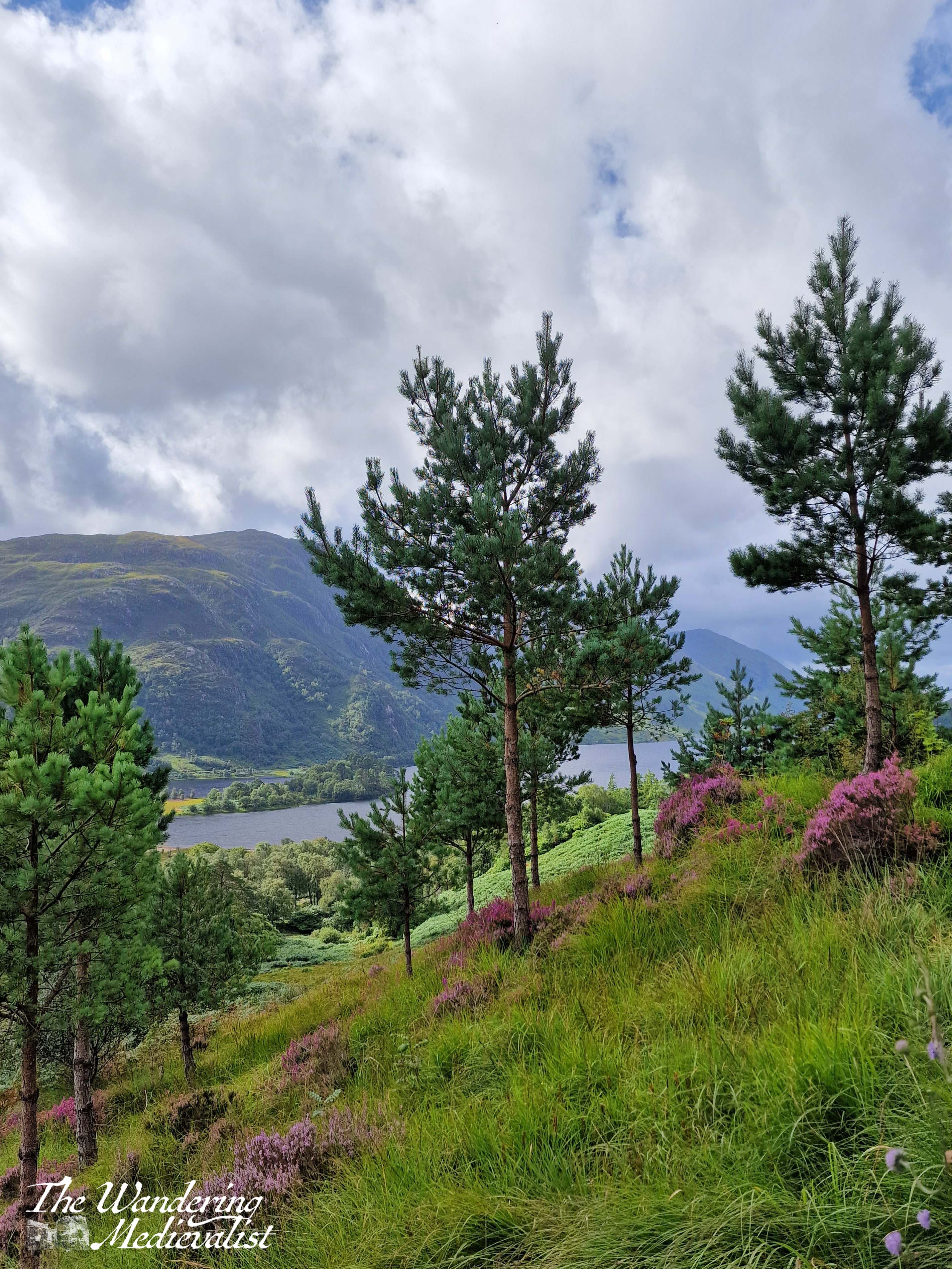
But I get ahead of myself. The first day – really only half on Skye – started with us leaving Fort William at around noon and heading north along the A82 past the Commando Memorial and Loch Lochy towards Inverness. Then at Invergarry, we took a dramatic turn west to follow the A87 towards Kyle of Lochalsh and Skye (and in fact, we would stay on the A87 all the way to Uig). I had scheduled in a number of viewpoints which I thought may be worth pausing to explore – I was acting as tour guide for visiting family – and the first was Loch Garry.
Unfortunately trees had grown up in front of the main viewpoint so high that it was difficult to even see the water, but a bit further along we were rewarded with this vista toward the end of the loch and the mountains beyond.
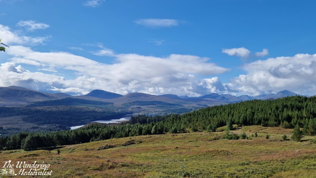
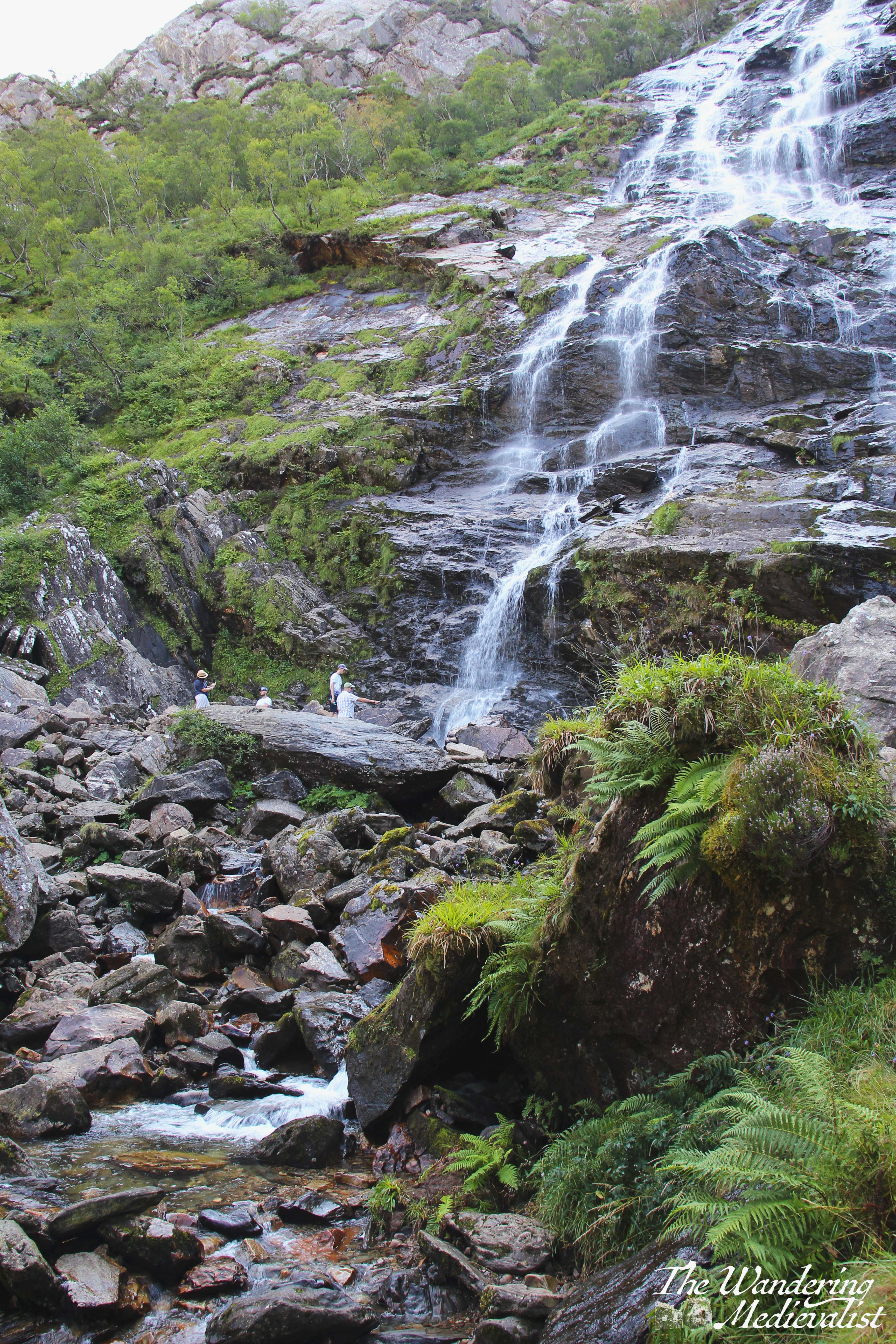
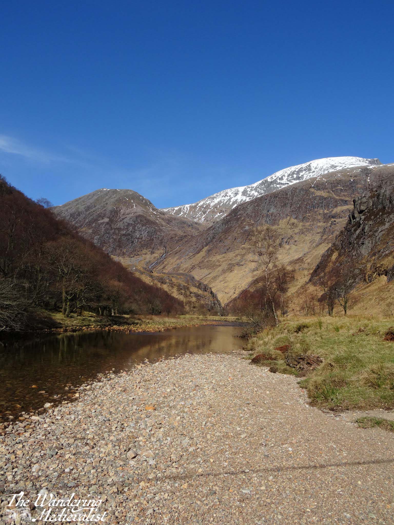
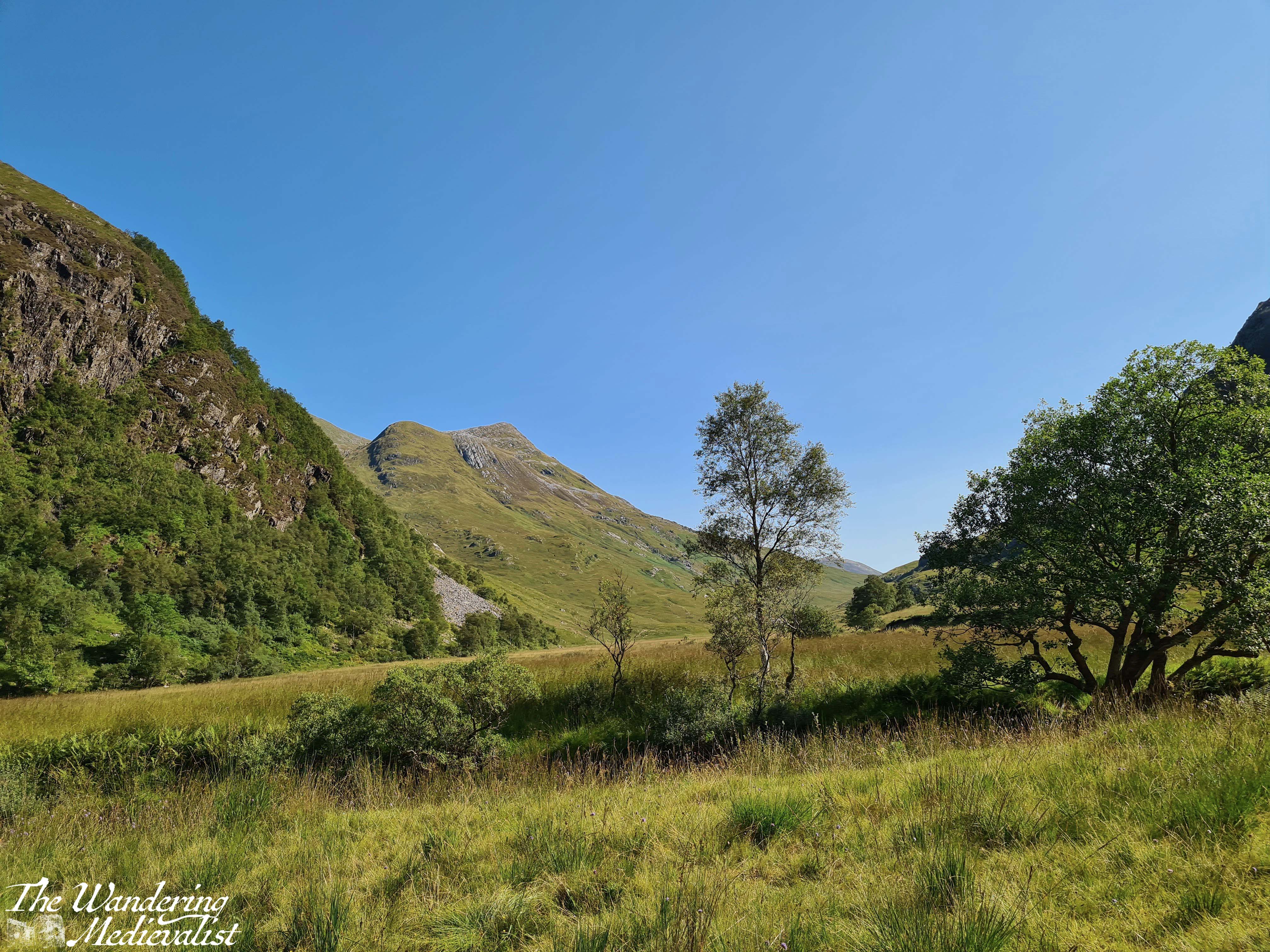
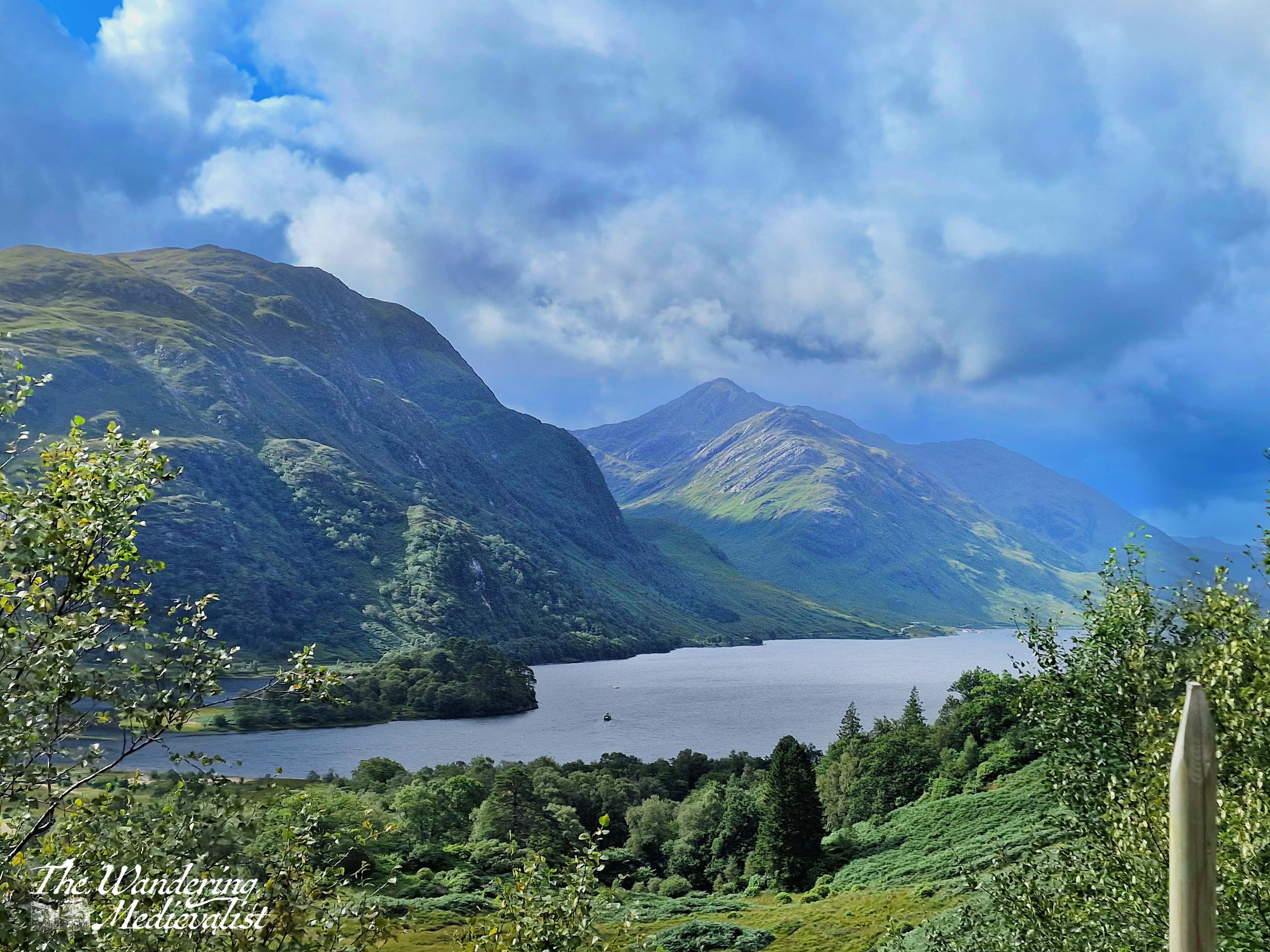
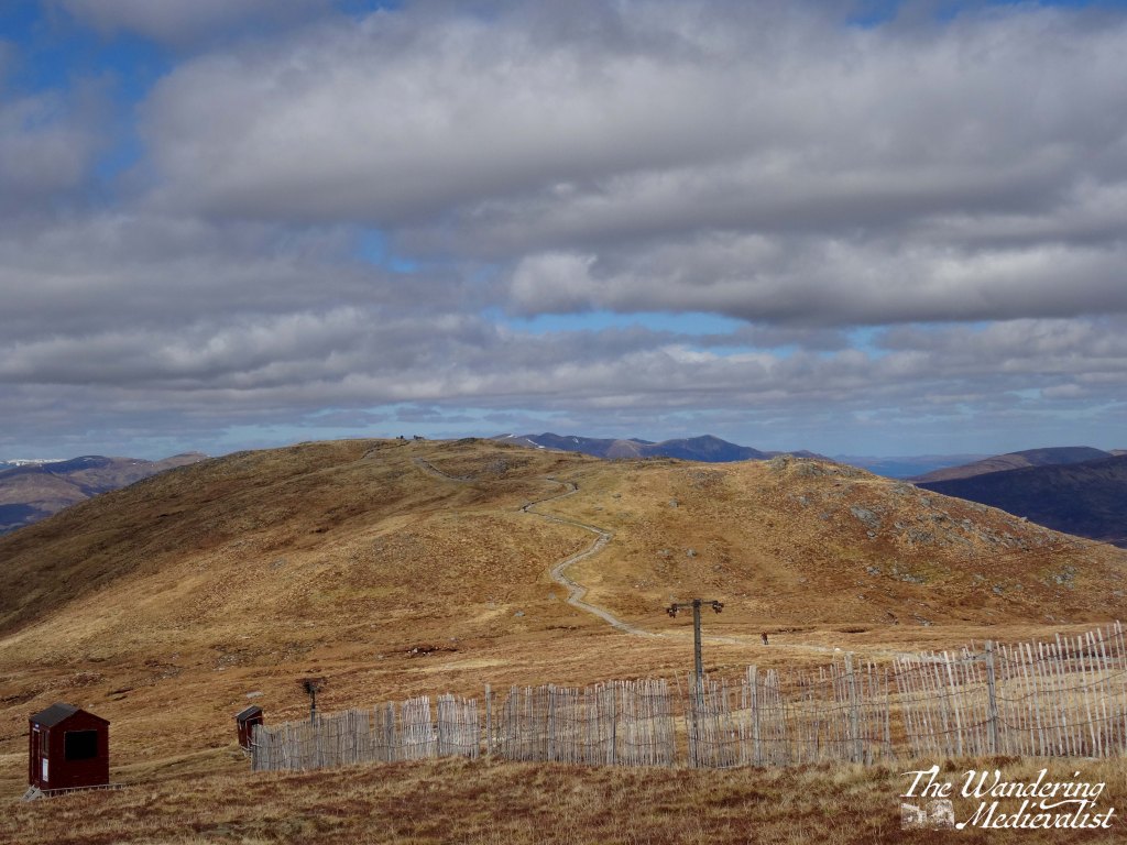
The road remained high above the lochs for the next few miles and we stopped long enough at the Loch Loyne viewpoint to take a video, then continued on to Loch Cluanie. For some reason this loch had stayed in my mind as I recalled a stop, many years before, at the Cluanie Inn. At the time it had been a much smaller place – it now boasts a bakehouse and fuel pump – but I recall a charming old spot with excellent soup. We did not stop on this trip despite this memory, and instead continued on away from the loch and into the gorgeous mountains.
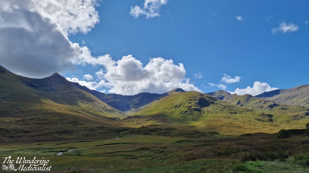
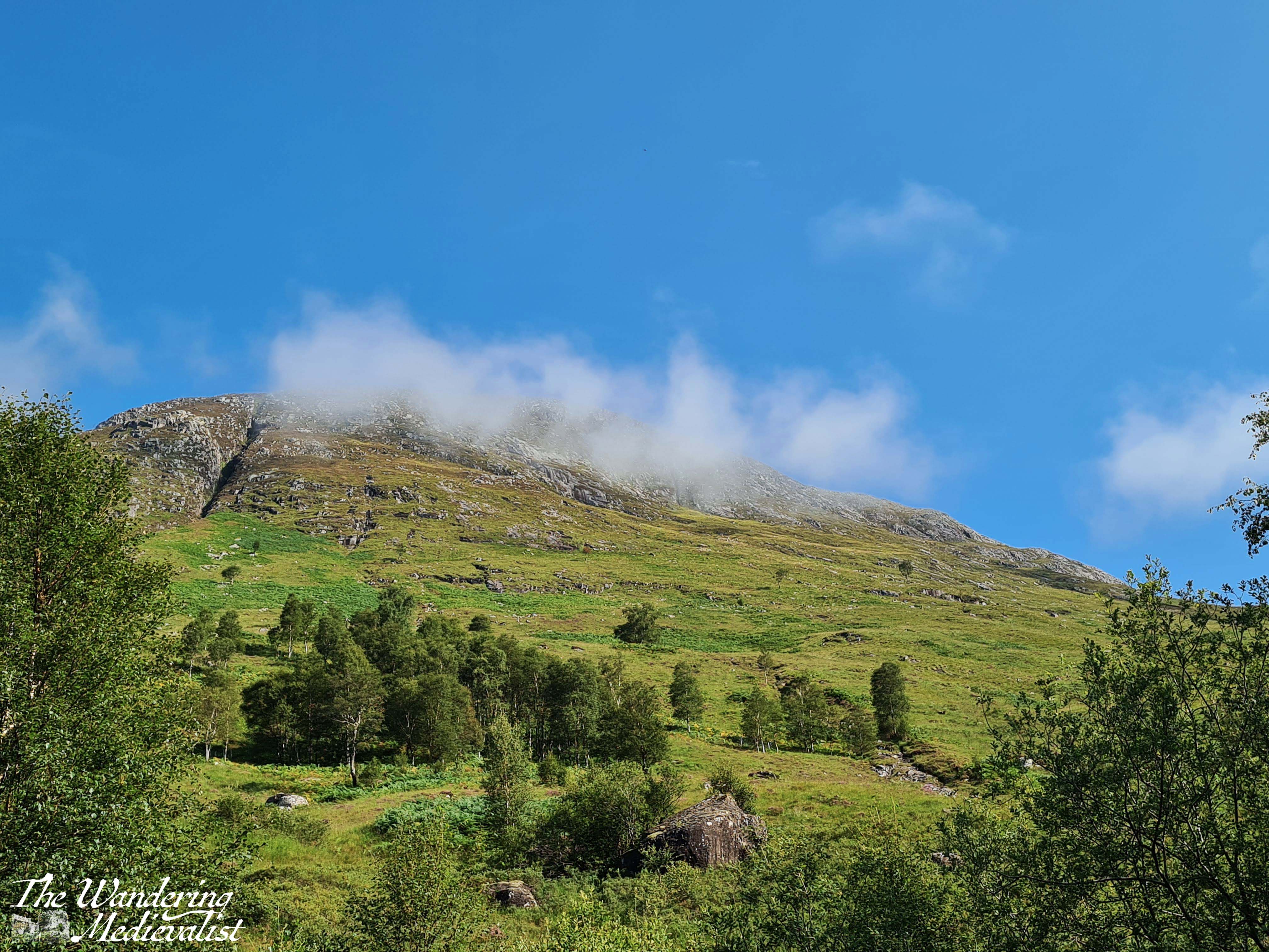
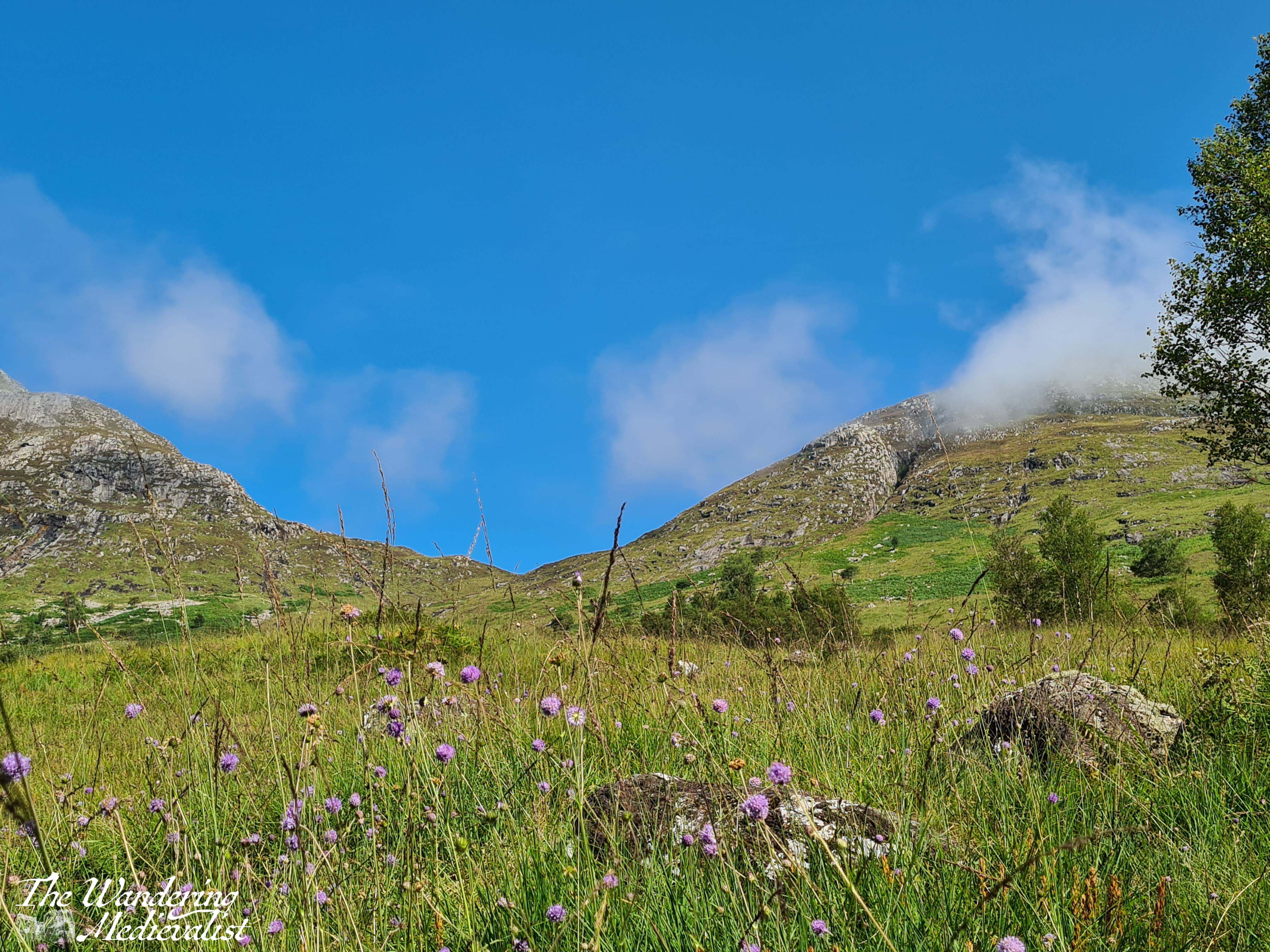
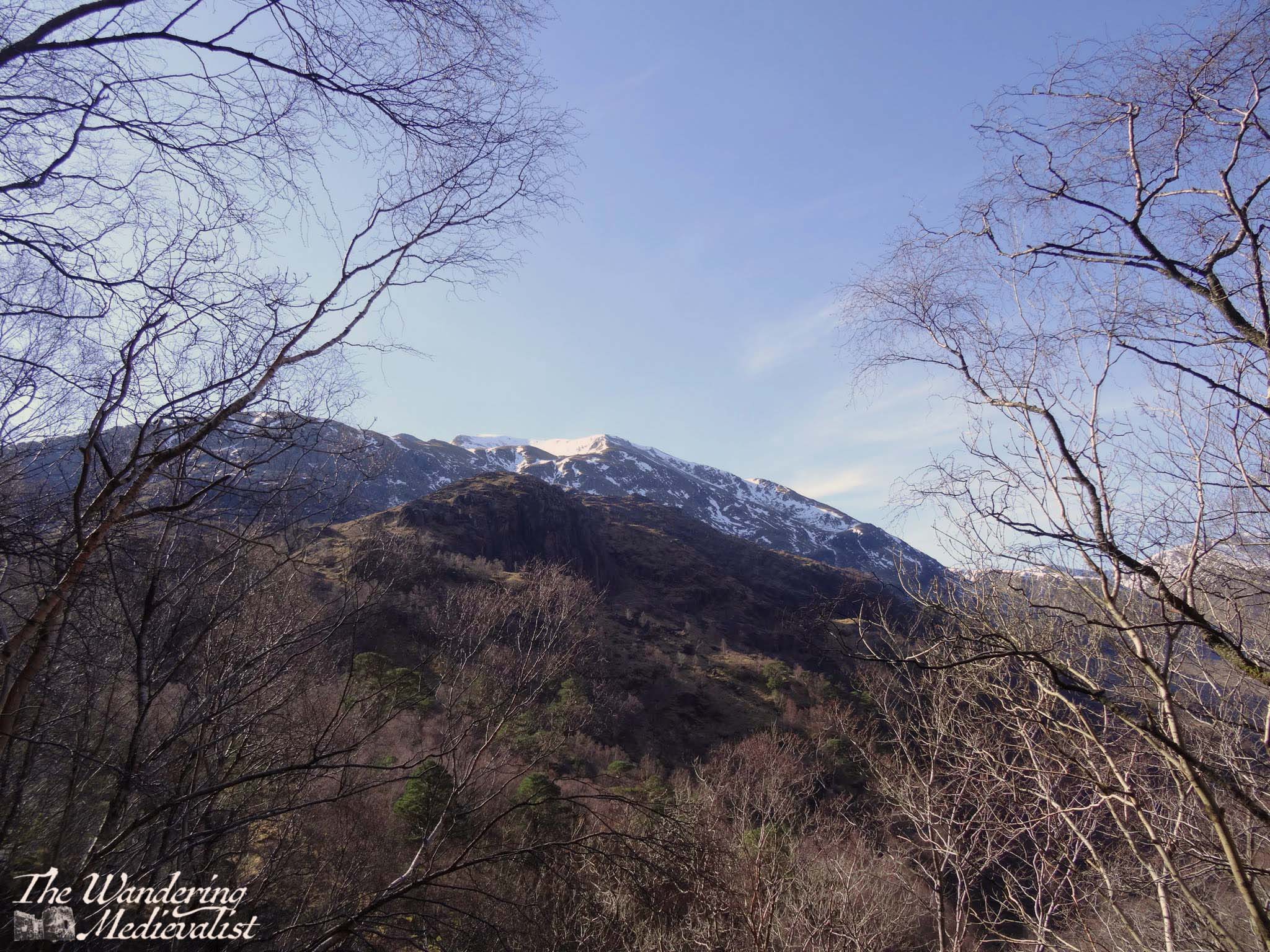
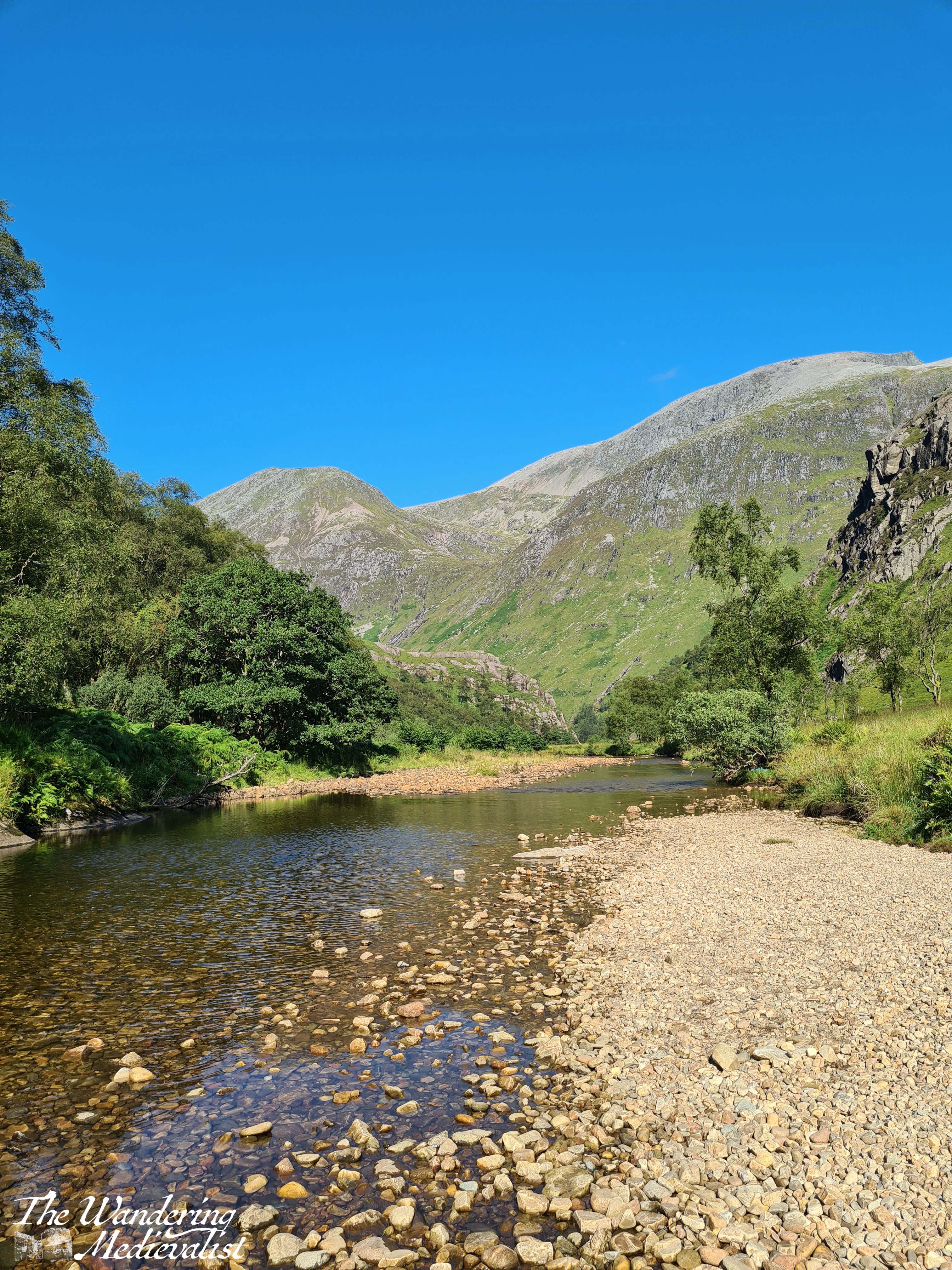
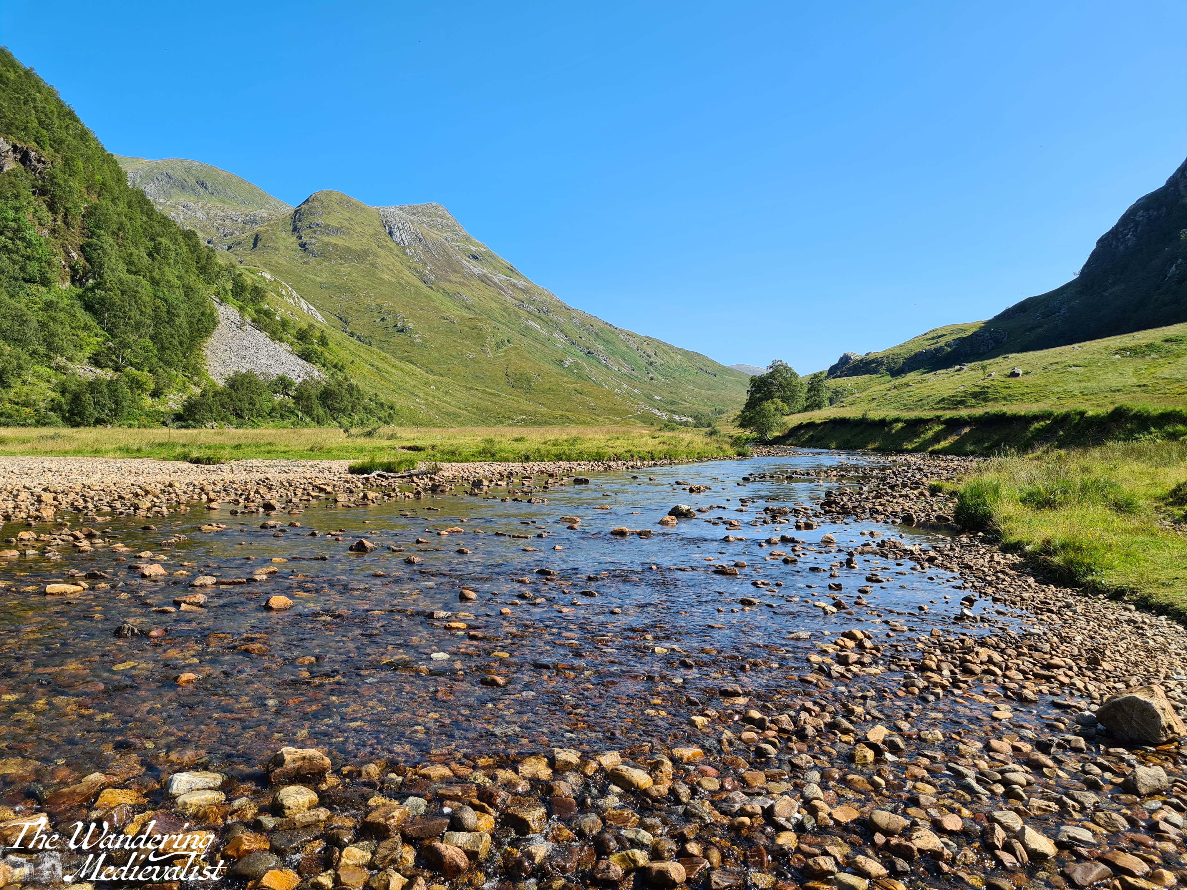
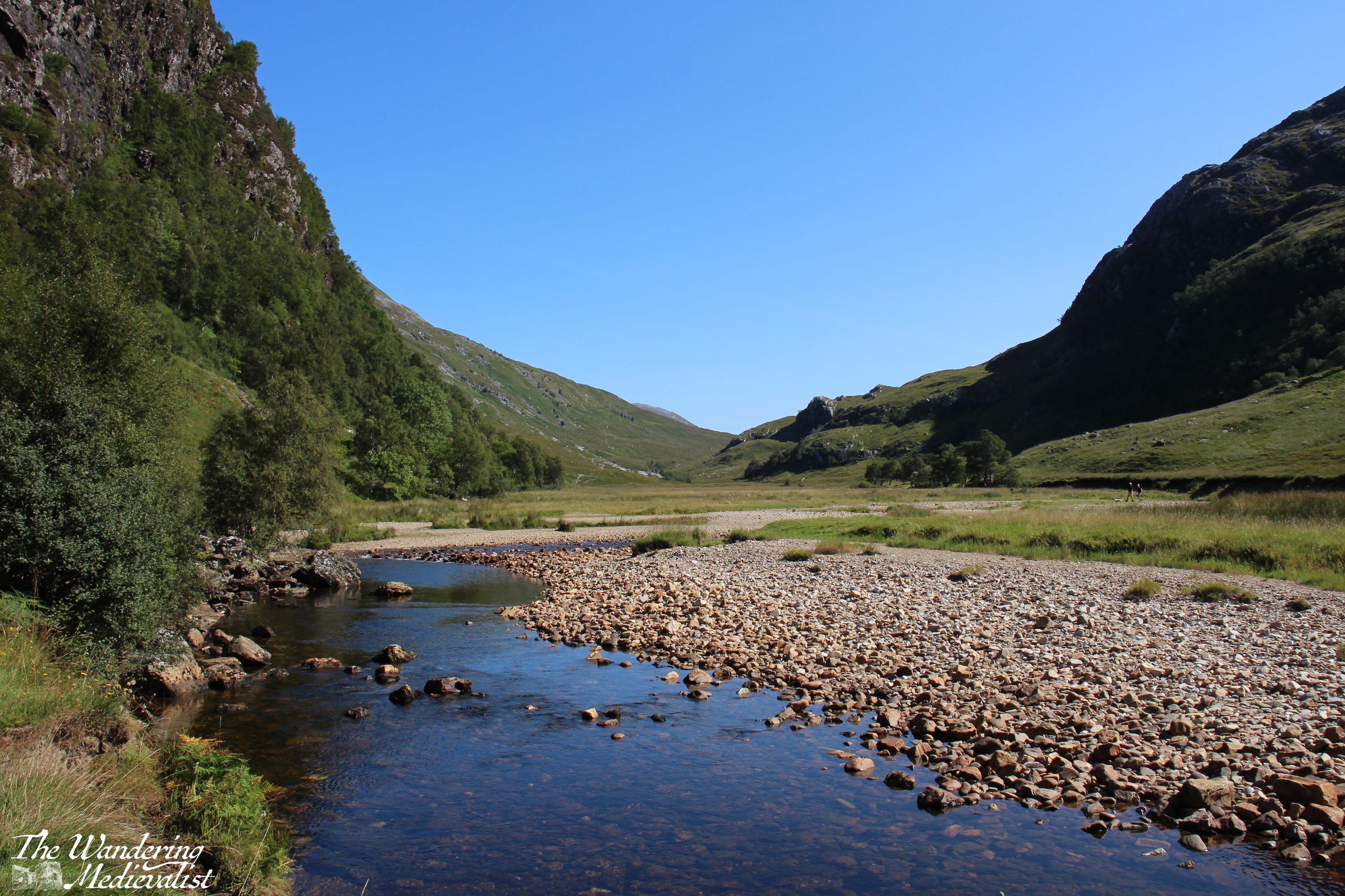
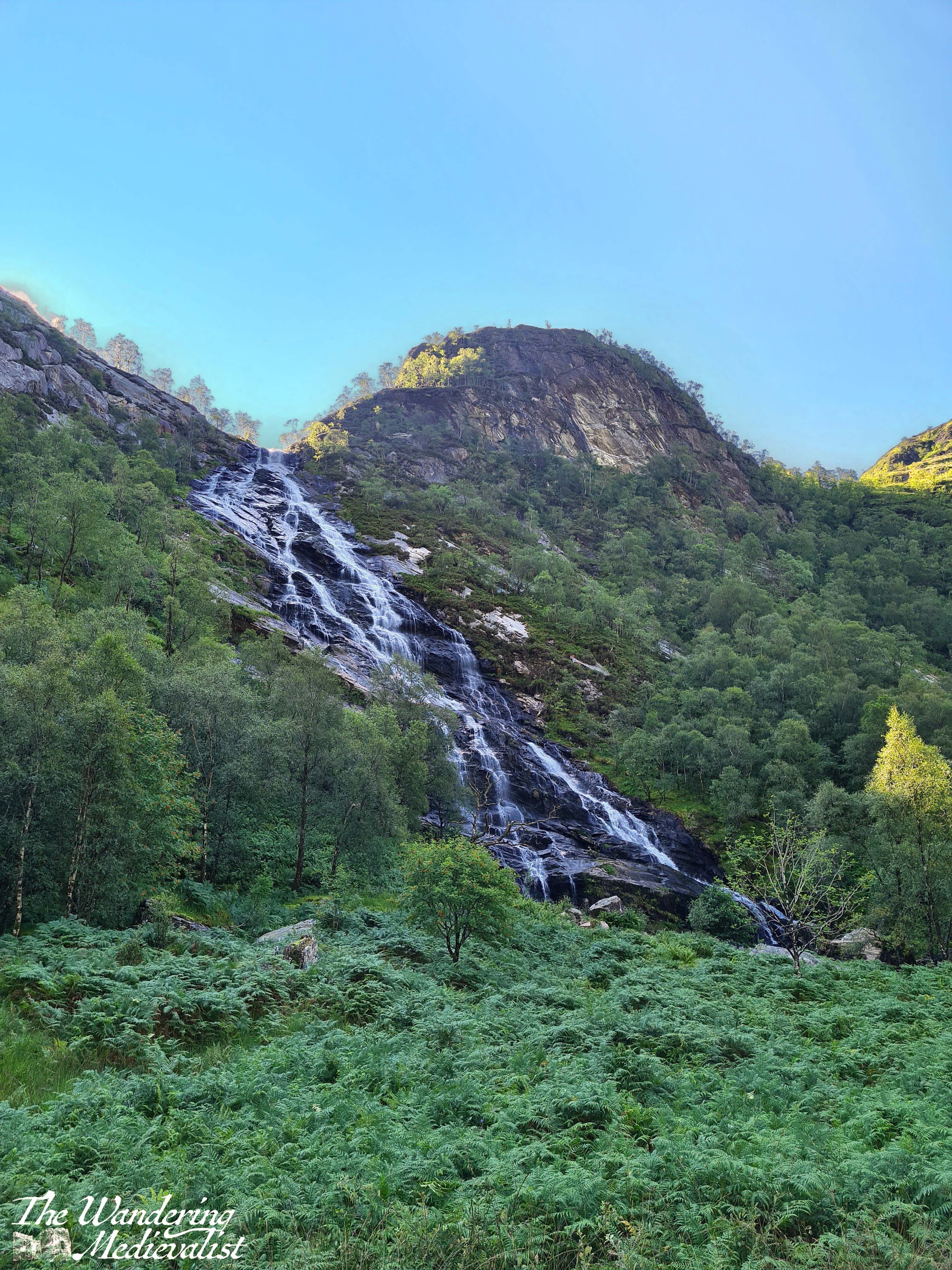
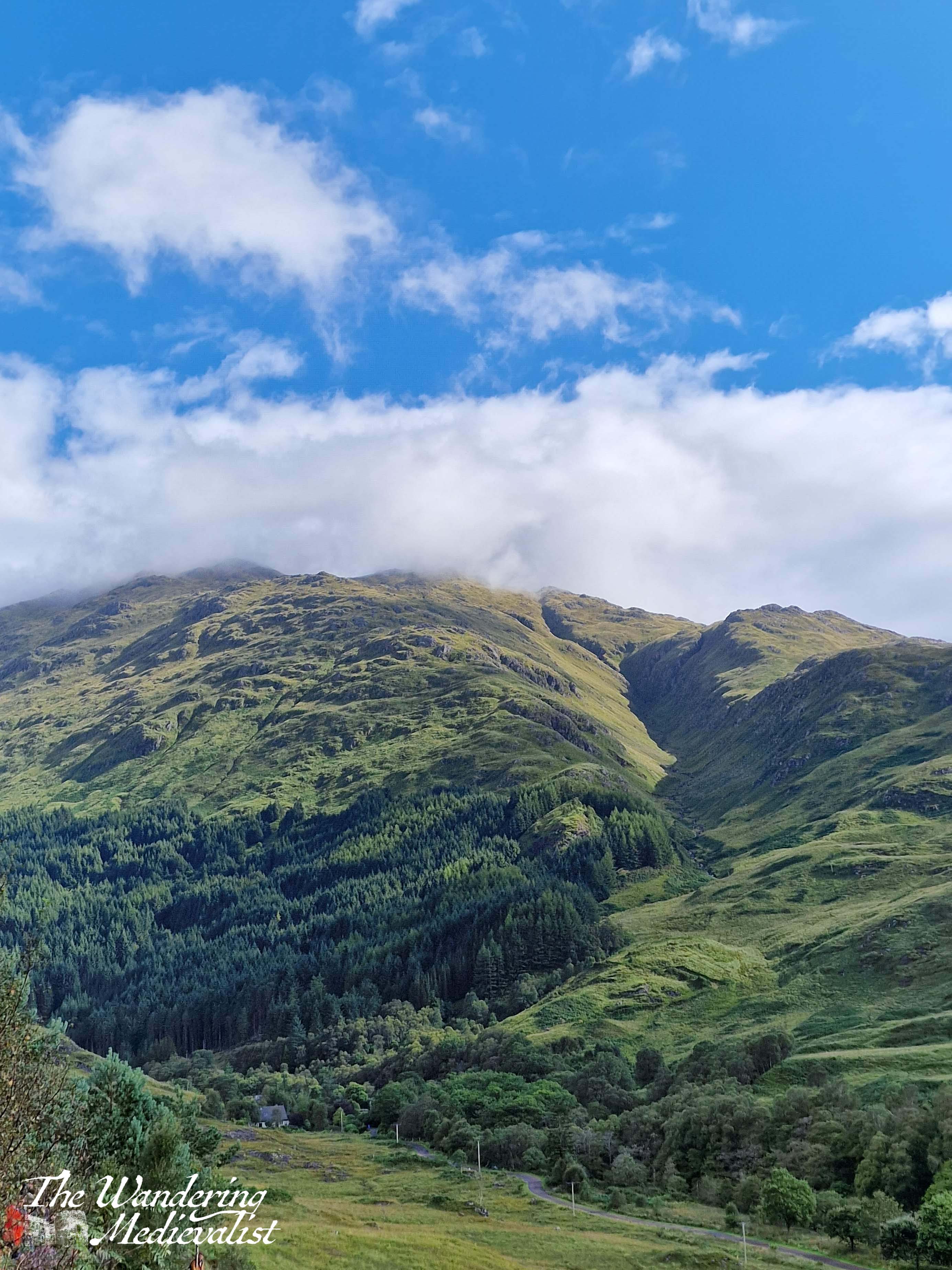
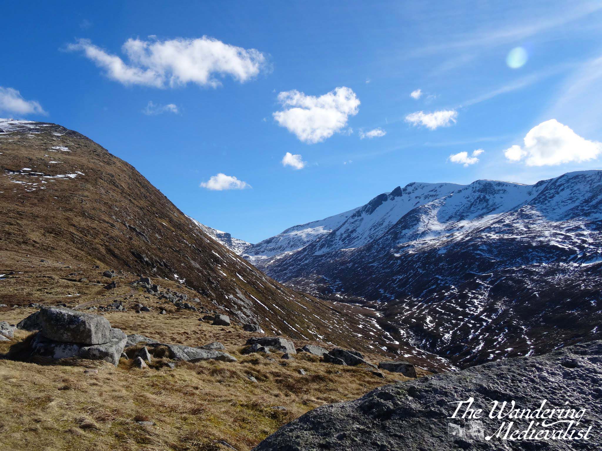
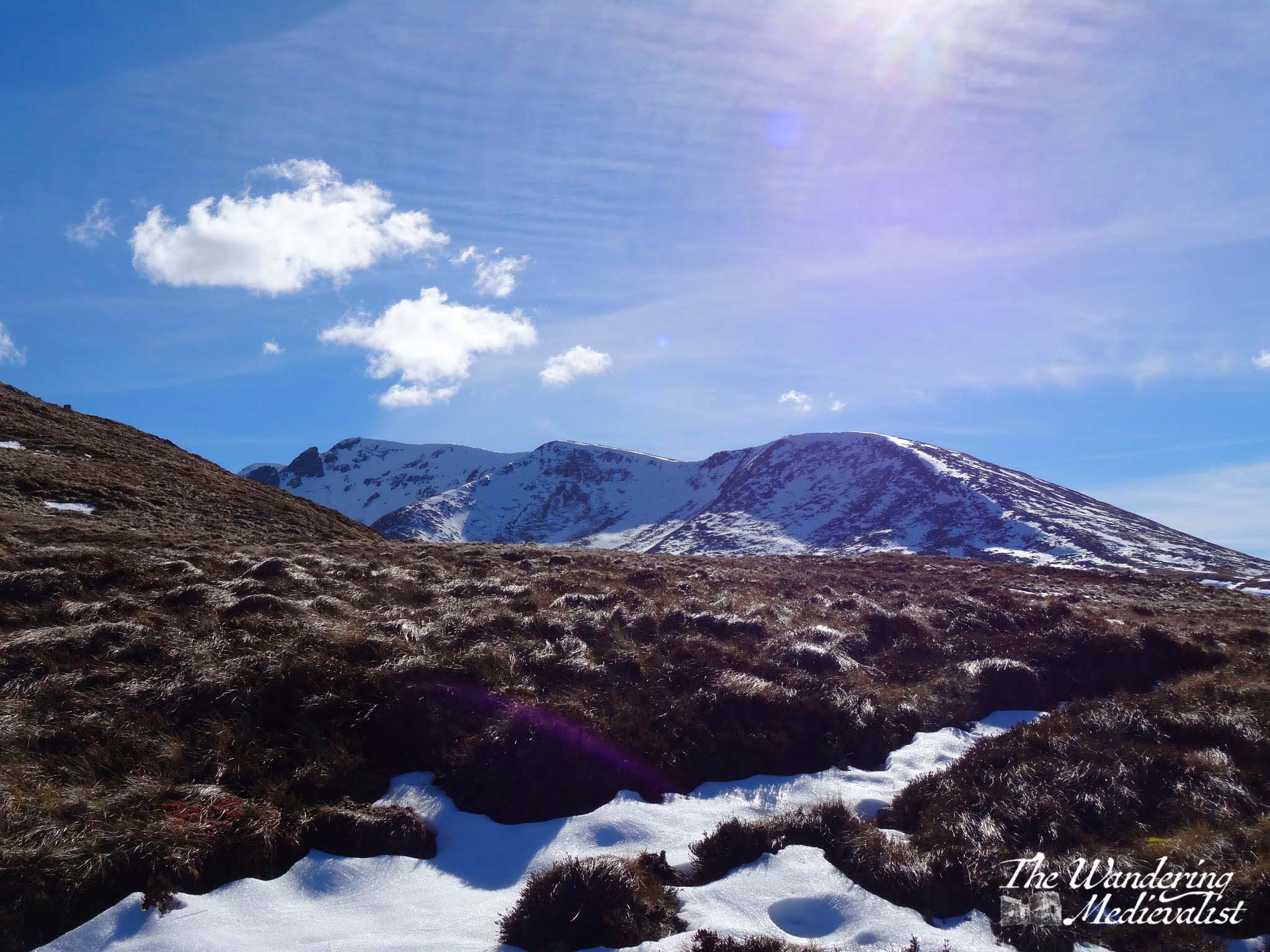
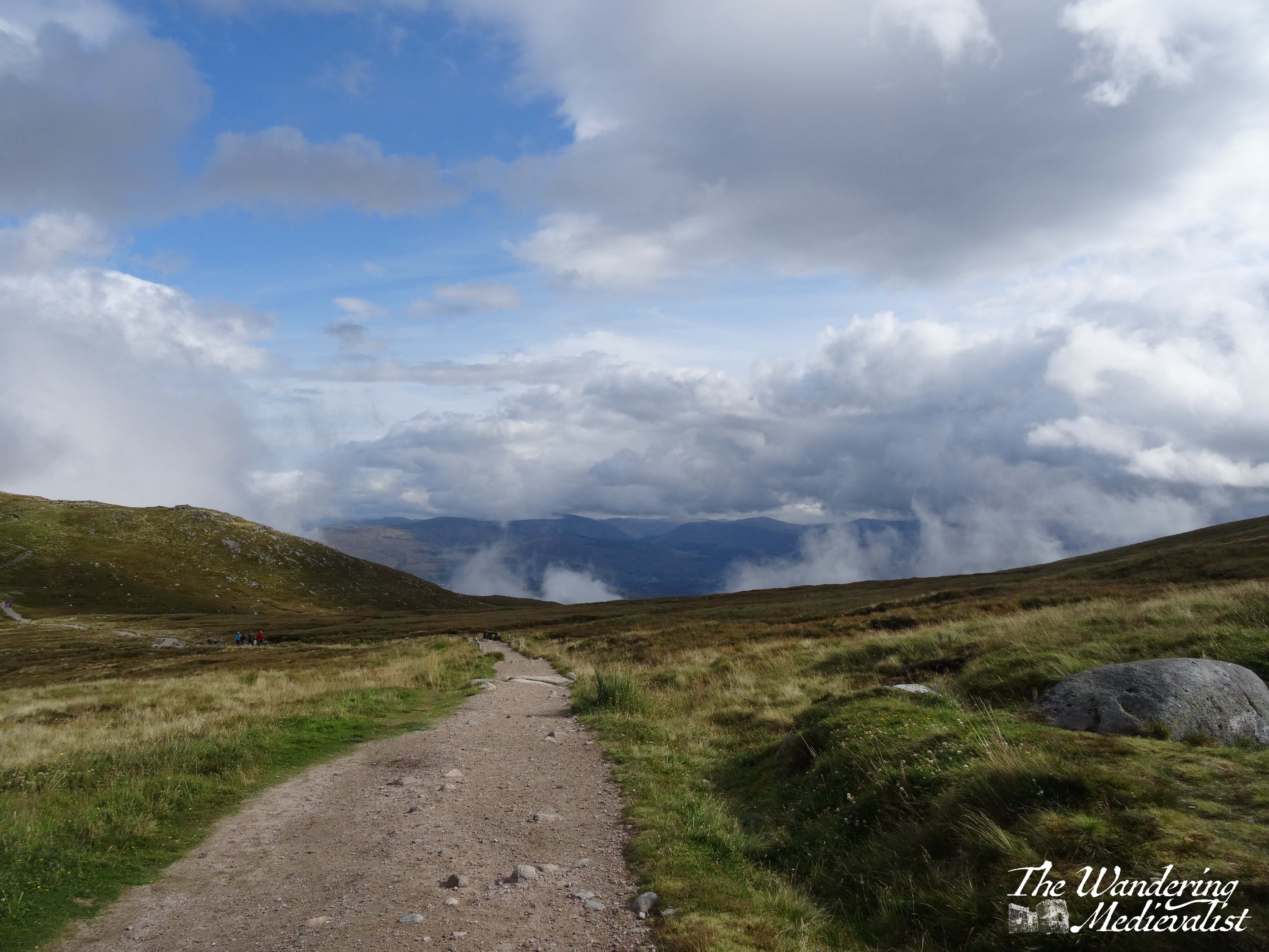
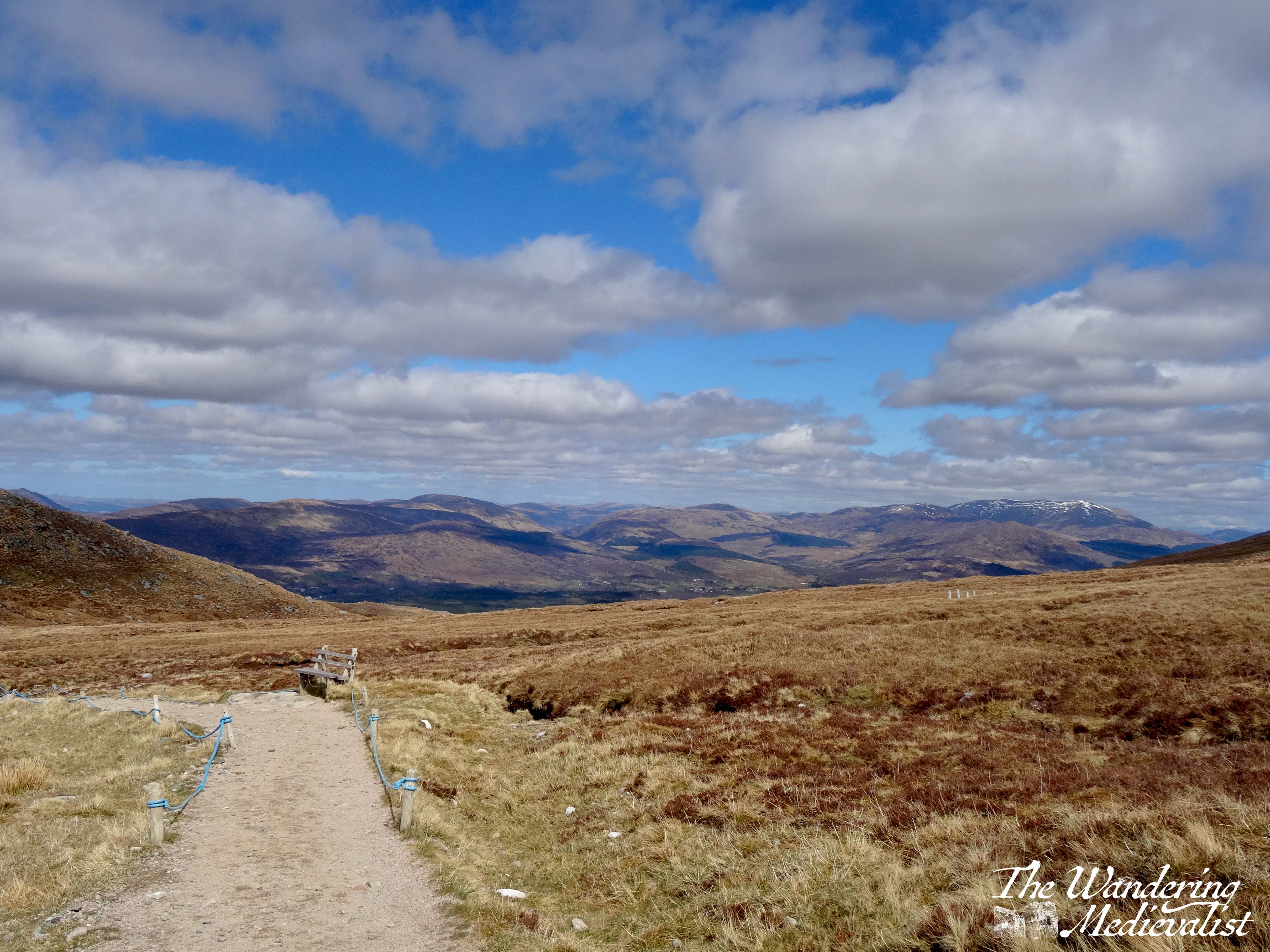
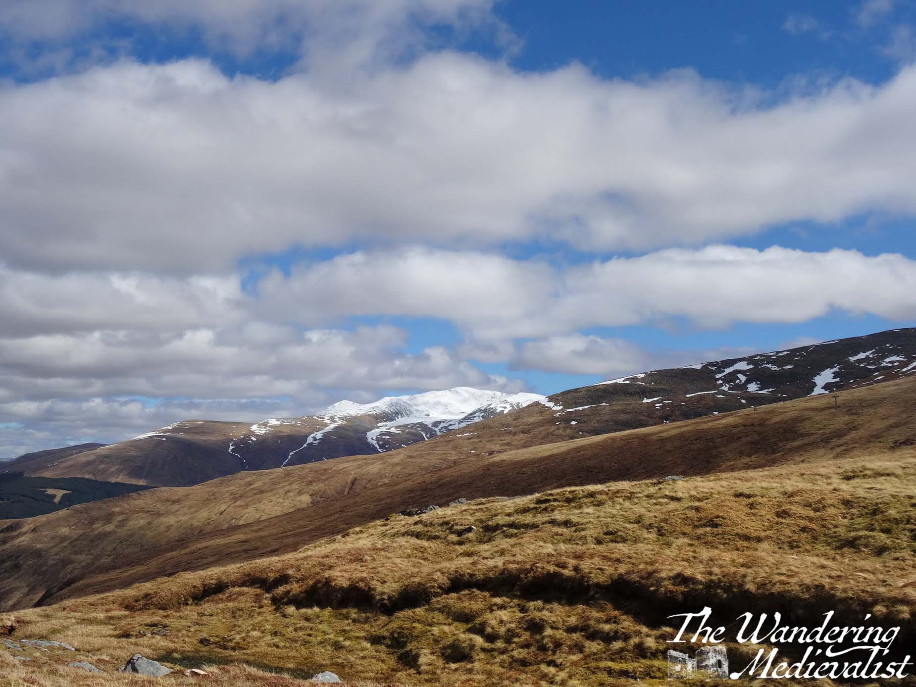
This drive along the A87 is just stunning – the further north you get, the more rugged the mountains and flora get, verging on bleak but falling just short especially in the sun.
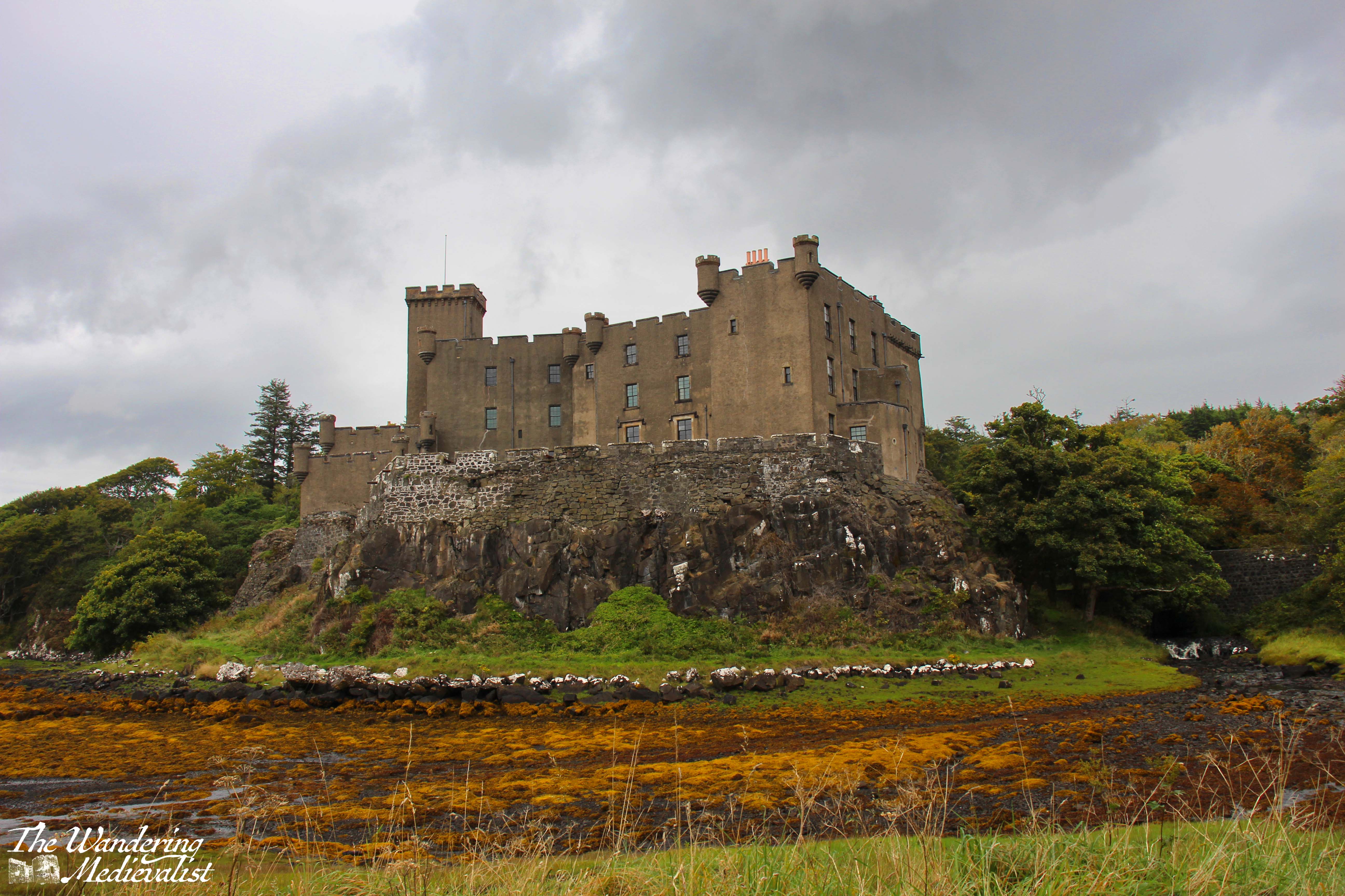
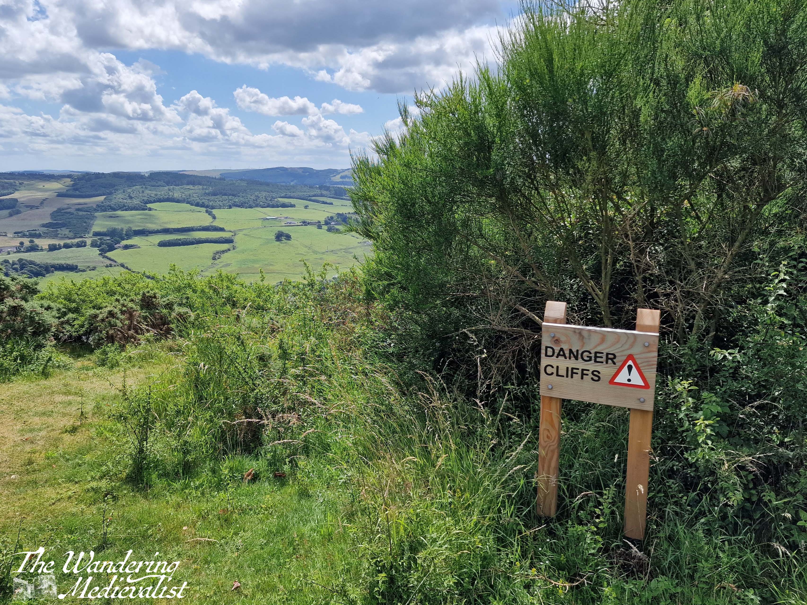
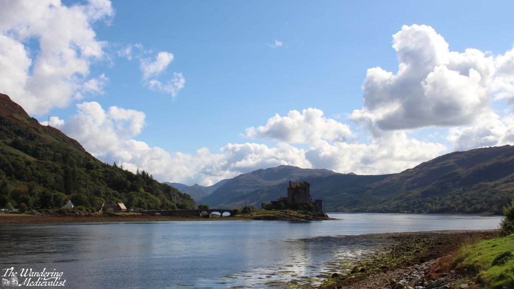
We could have stopped in many more places – some I made a note to try on the way back – but the day was passing and I knew we still had a significant amount of ground to cover. So, I pushed on until we reached Loch Duich and the most photographed castle in Scotland, Eilean Donan. We pulled into the massive busy car park and took a few distant pictures, but upon crossing the bridge into Dornie discovered an arguably even better view from the small town hall and public toilets.
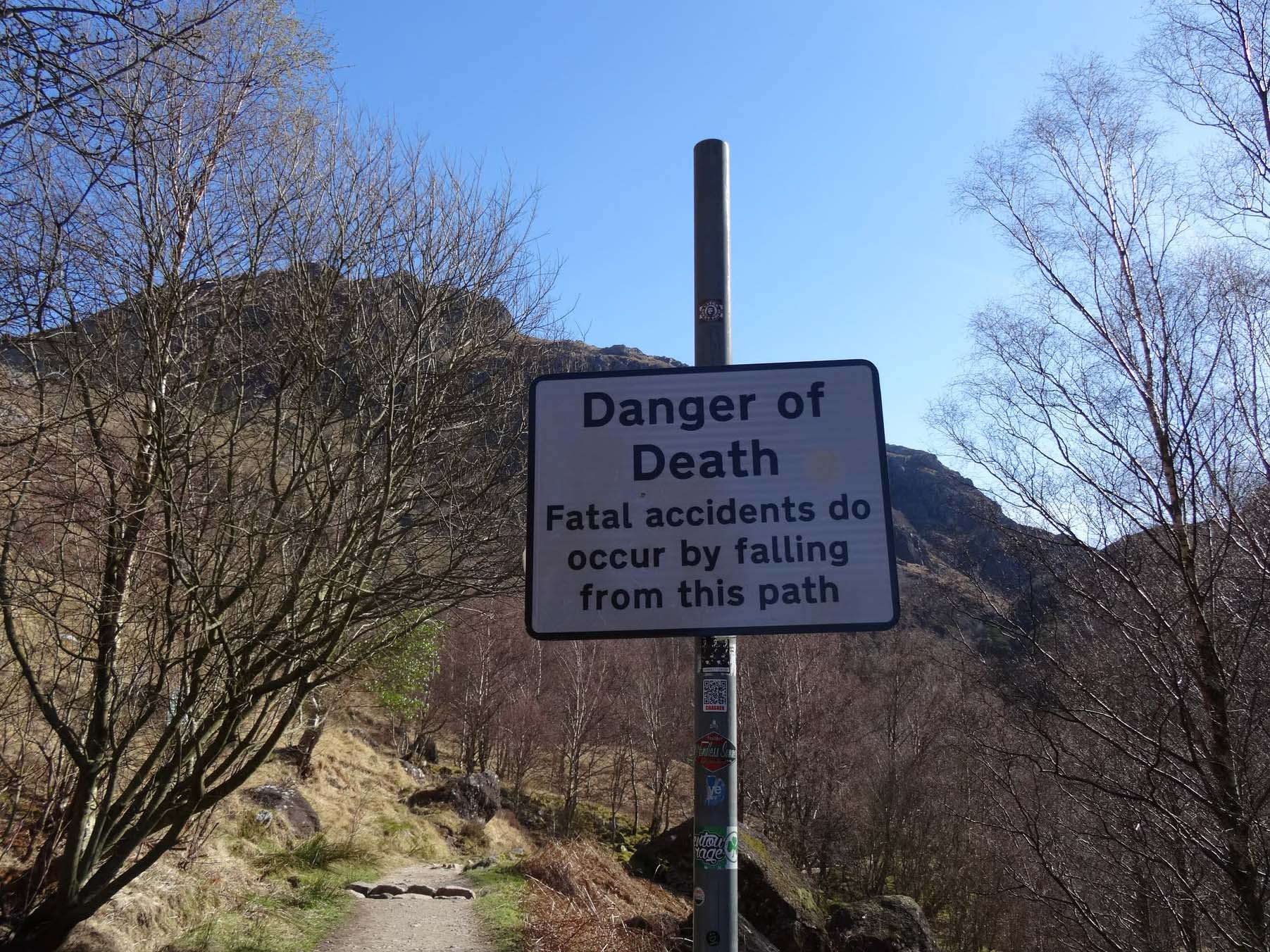
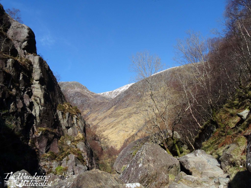
Despite a continuation of stunning scenery, I kept my foot down after this stop and pushed on through Kyle of Lochalsh to the famous Skye bridge, an eye-catching steep arch of a bridge that was a touch unsettling at first, or is to one with a wariness of heights.
Once onto Skye the road is in good condition, quickly reaching Broadford, one of the larger towns on Skye were there are some good-sized grocery stores as well as plenty of places to stay – hotels, B&Bs, and self-catered.
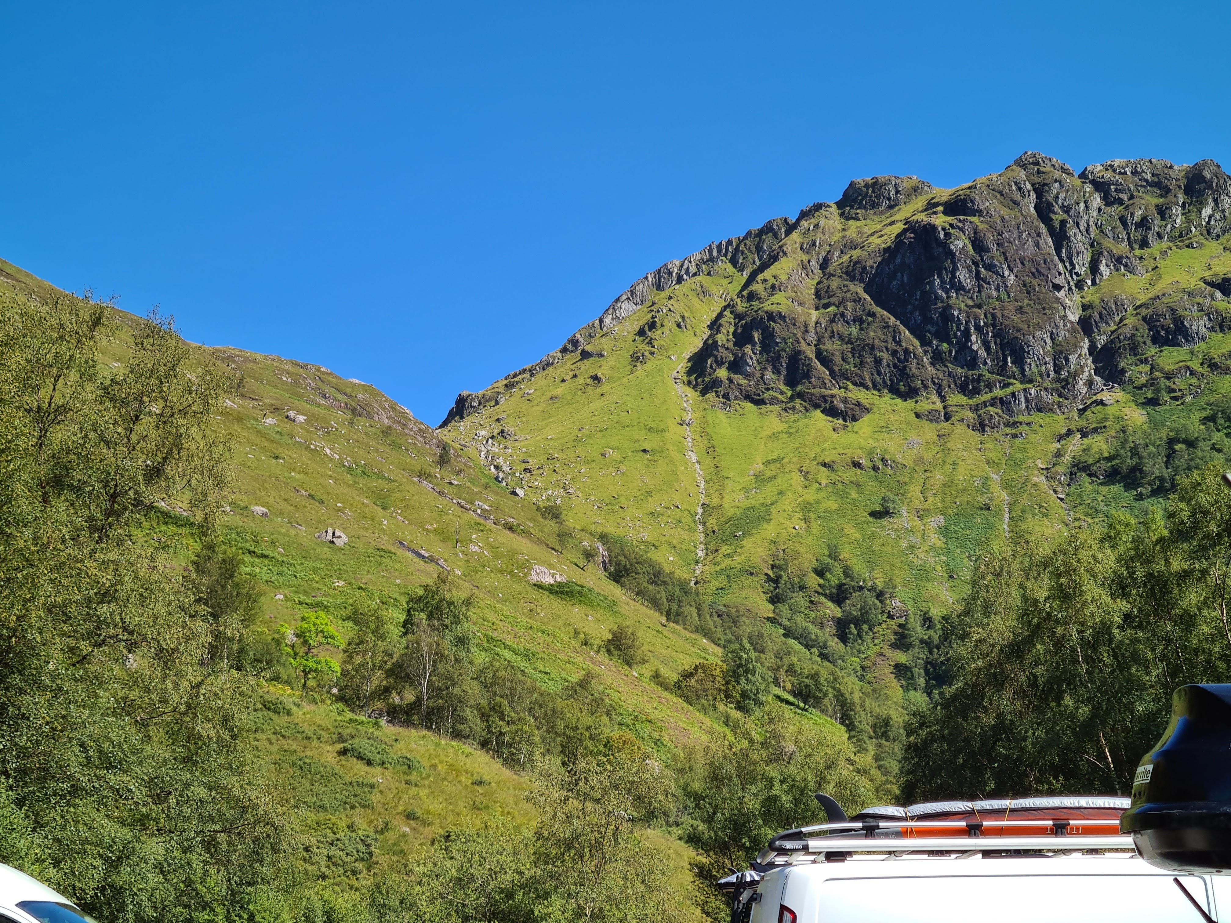
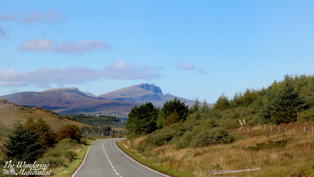
Continuing north, the road wove back and forth a few times and began to climb, with stunning mountains and valleys to the left and water to the right. We passed Sligachan with a note to stop on the return, and as the road topped a hill, before us was suddenly visible the distant shape of the Old Man of Storr, unmistakable against the blue.
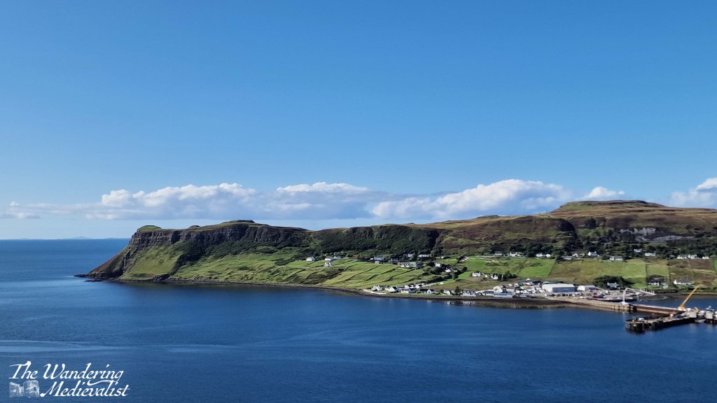
From here we touched the edge of Portree and continued pushing north, across another stretch of mountains and valleys populated mostly with sheep and a few distant farms. Our penultimate stop for the day came at a well-populated parking place perched on the hill above Uig harbour, dominated by a headland and ferry pier.
From here the road descended quickly into the village, passing several hotels and shops. Our route was further north and so we branched off to the A855 which I knew, from previous research, was also the start of the single-track roads with passing places. Indeed, while the distance from Uig to our cottage was relatively short, it was a solid 20 minutes in the car, requiring relatively regular stops to make room for passing cars and busses. Almost as if in an effort to test drivers, the A855 lifts out of town on a narrow cliff-side road that makes a hair-raising hairpin turn. This turn and the very visible drop off the road made me very happy not to be driving one of the many bulky motorhomes we passed.
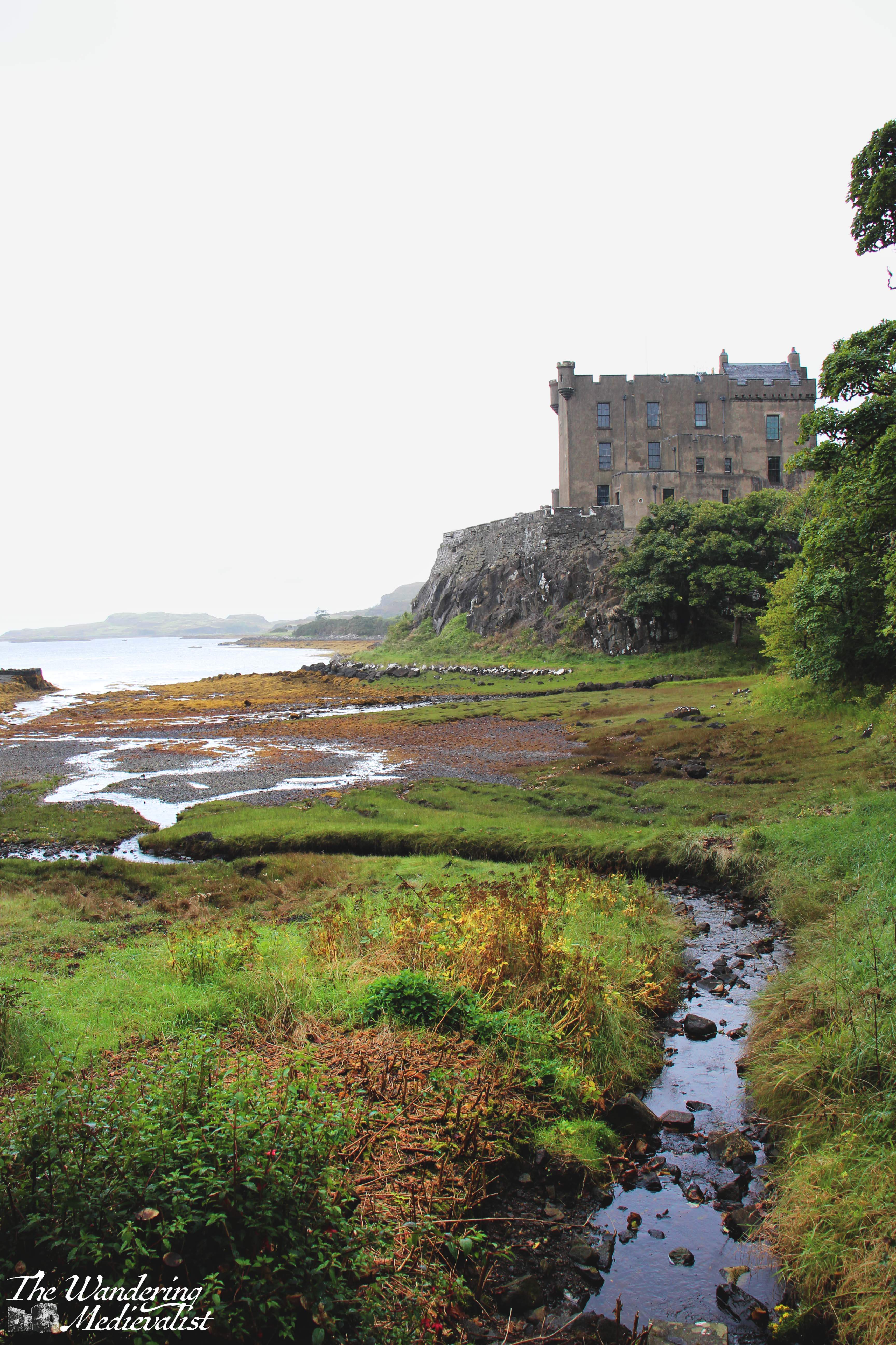
After a long day of driving, I was quite ready to reach our destination, and the narrow road was not hugely helpful in alleviating my exhaustion, though the afternoon sun glinting off the water promised a lovely evening. Finally, more than four hours after leaving Fort William, we reached the cottage that was to be our home for the rest of the week. Dad had reserved the place and it was a fully-equipped cottage with two bedrooms, a lovely kitchen that I would happily have traded with my own, comfortable warm living room and perhaps most importantly, 360⁰ views of the sea, mountains, and countryside. After unpacking the car, we had a quick pasta dinner and sat outside with a glass of wine and my trusty camera tripod to watch the sun set. It was a perfect way to end the day.