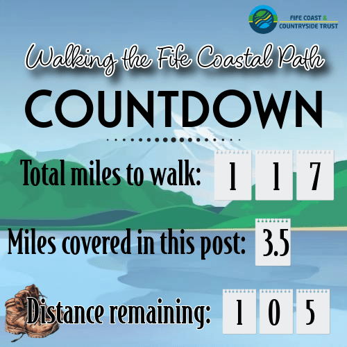
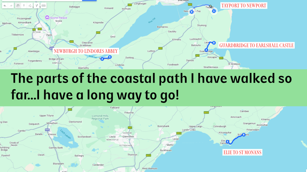
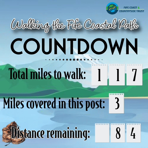
After my plans for a walk last weekend were rained out (torrential rain, not pleasant Scottish mist), I was determined to get back on track this weekend. It has however been a long and stressful week at work, so I chose a slightly shorter route again rather than pushing myself for the five miles I was planning. After spending the last few weeks arranging my autumn travel, I am becoming concerned that the goal to get this walk done by end of January might be a touch ambitious, but I can only try and get as much done as possible. And it doesn’t mean I’m going to not finish at all, just that it might take a bit longer. Eagle-eyed readers checking my Fife Coastal Path challenge page may note that I have extended the challenge by 6 months. A new goal, and one I intend to keep!
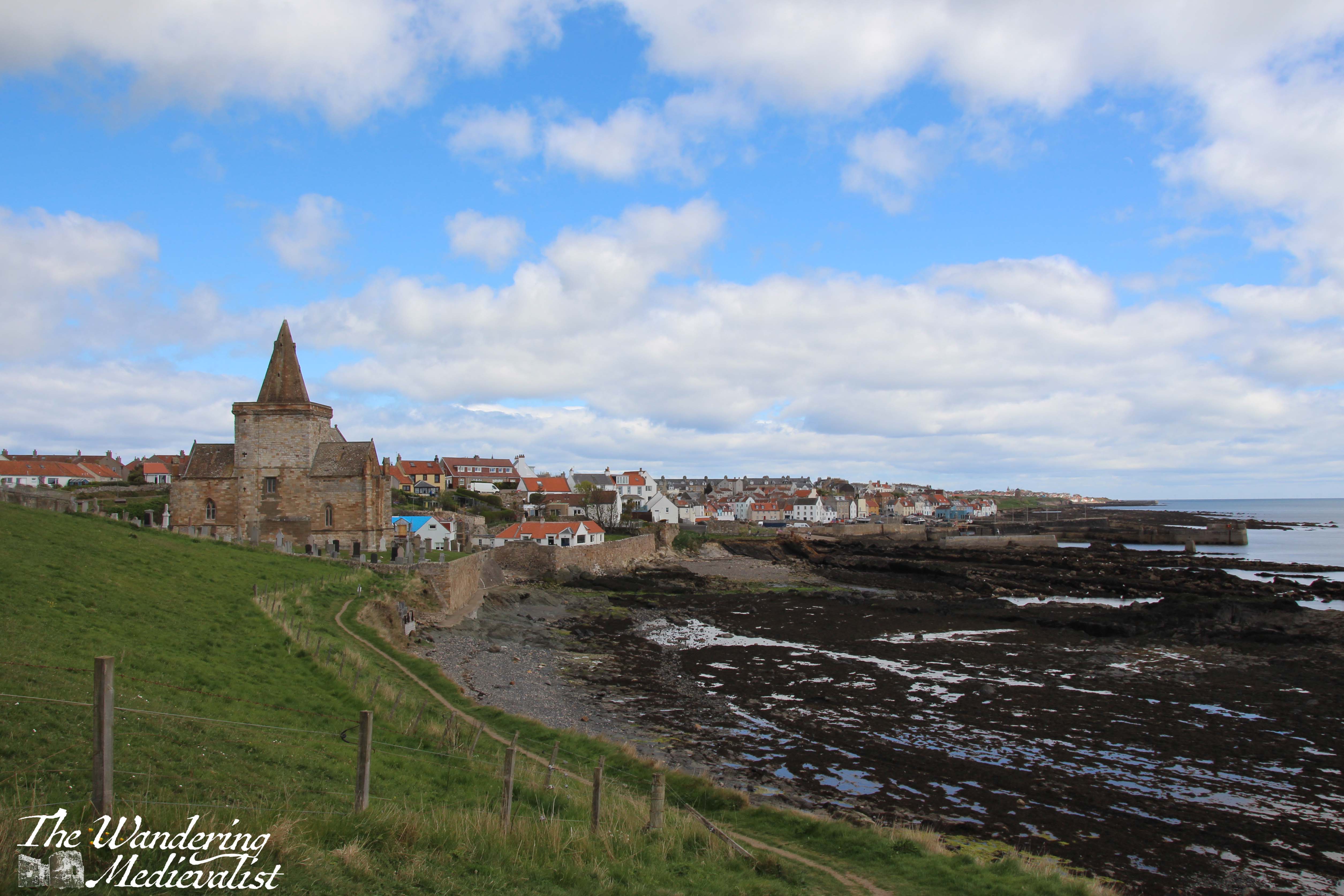
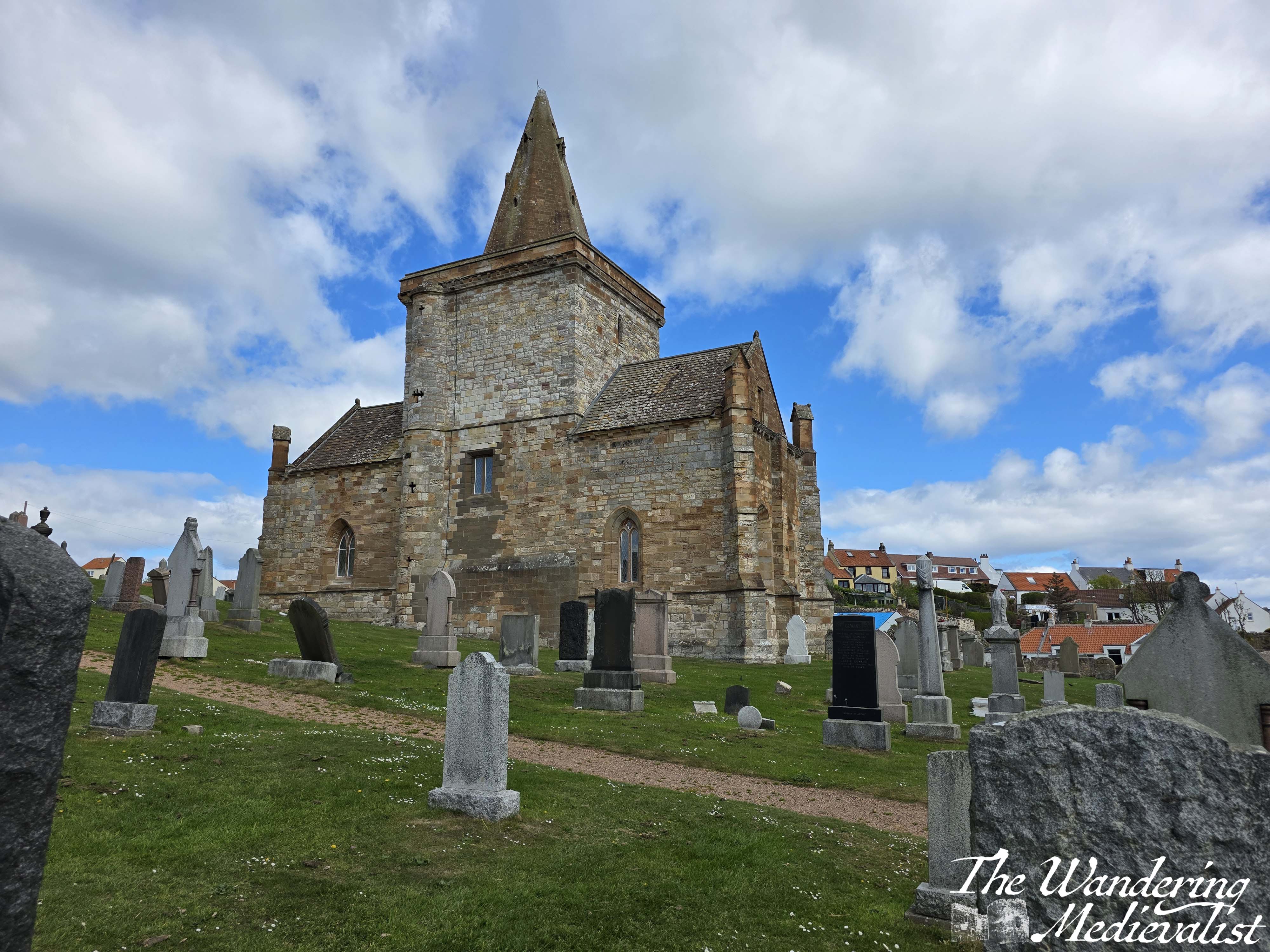
It’s been a warm few weeks, but this morning I discovered a lovely cool air wafting through the bathroom window, and the sky was overcast but not threatening, so it seemed a good morning to make a bit of progress. So, I hopped on a bus to St Monans, where the primary bus stop is on the main road. It is a relatively short – though steep – walk down Station Road to the waterfront.
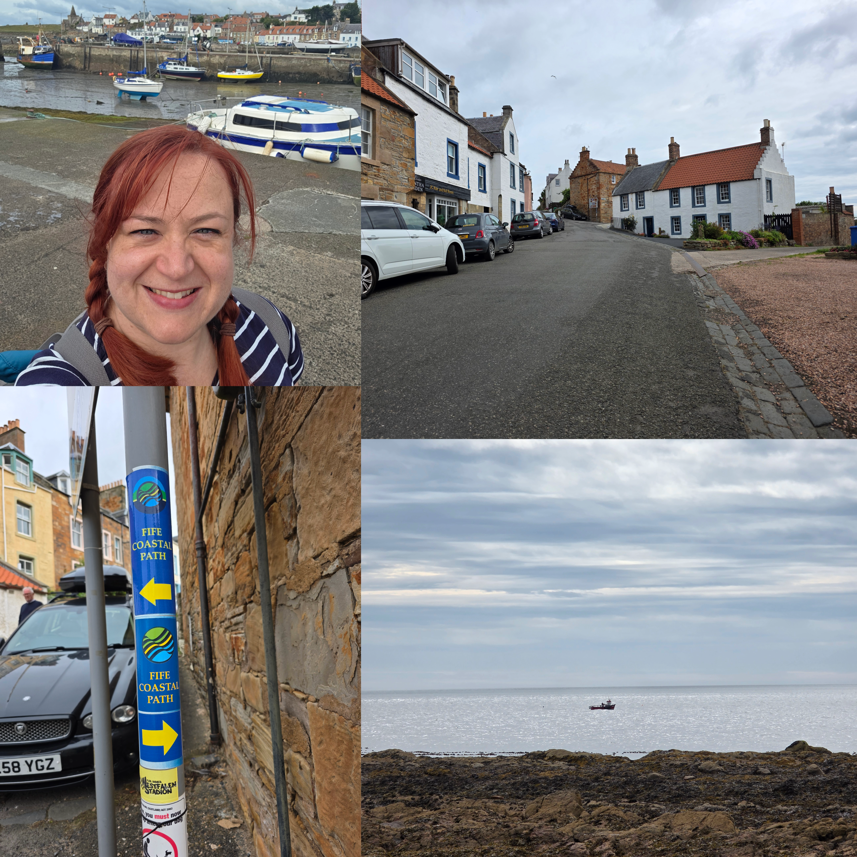
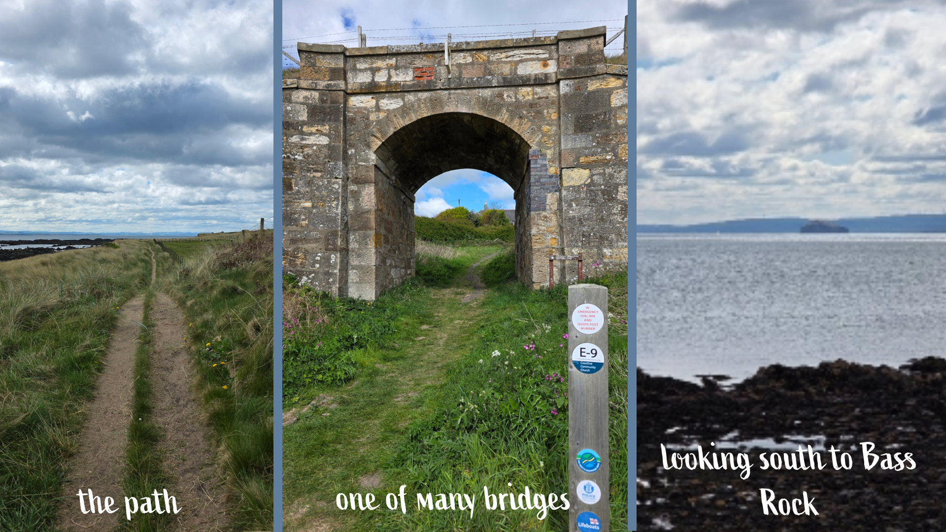
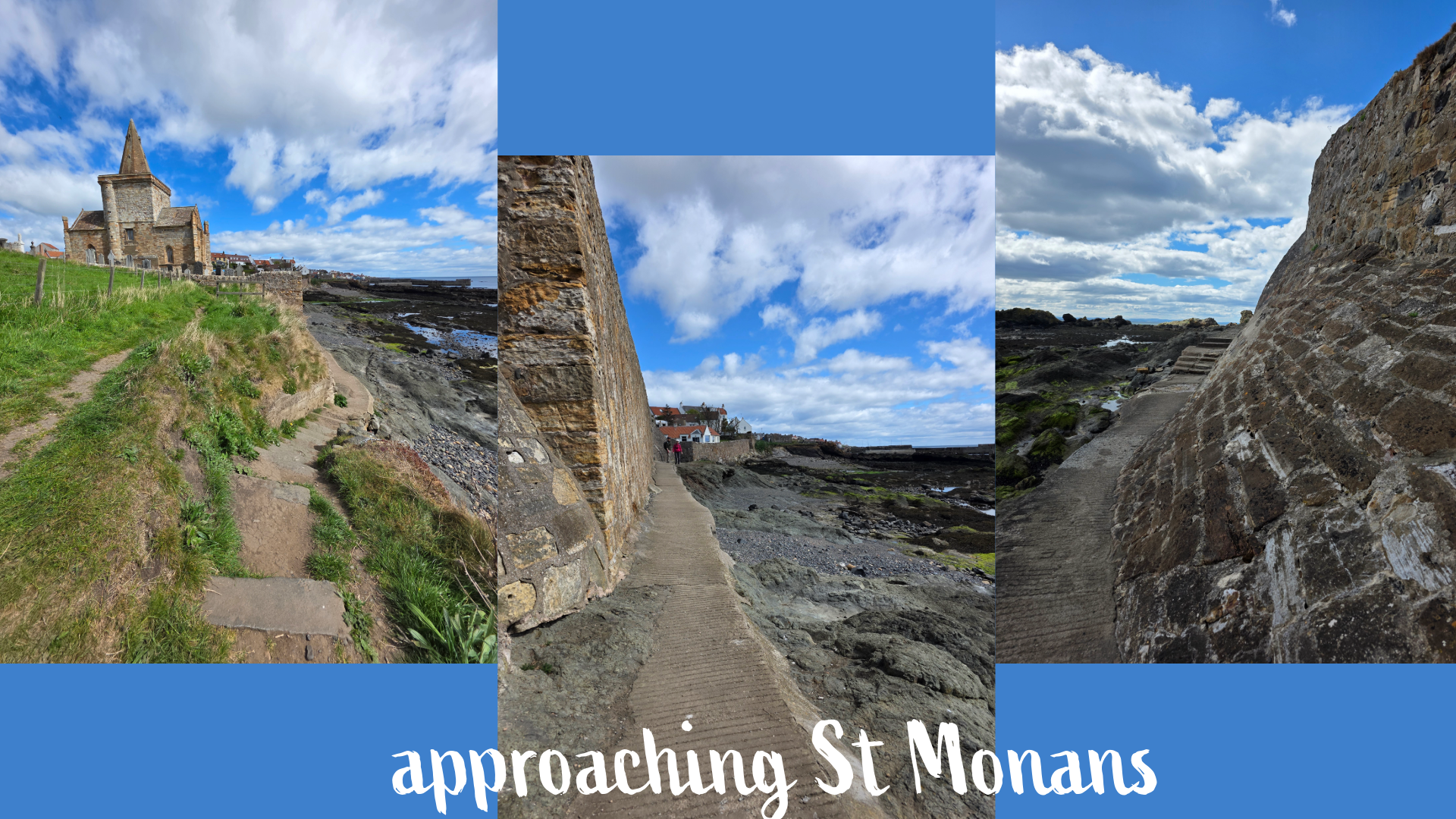
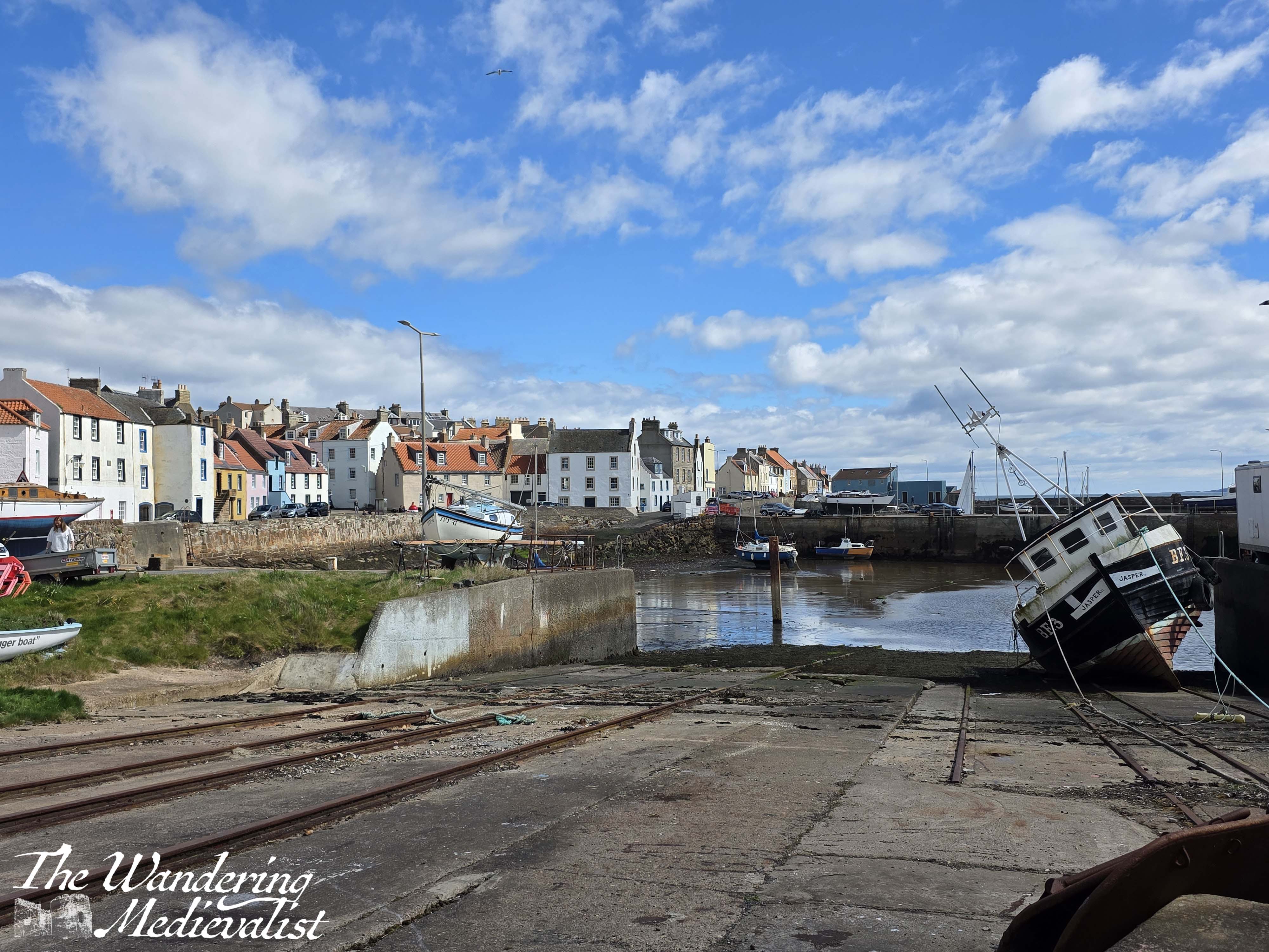
I finished my walk at the East Pier, and so it is here that I set my timer again, before heading up away from the harbour along Forth Street and then making a quick right onto Rose Street. Rose Street is lined with beautiful old houses and cottages so omnipresent in the East Neuk, and ends at a small car park from which the Coastal Path continues.
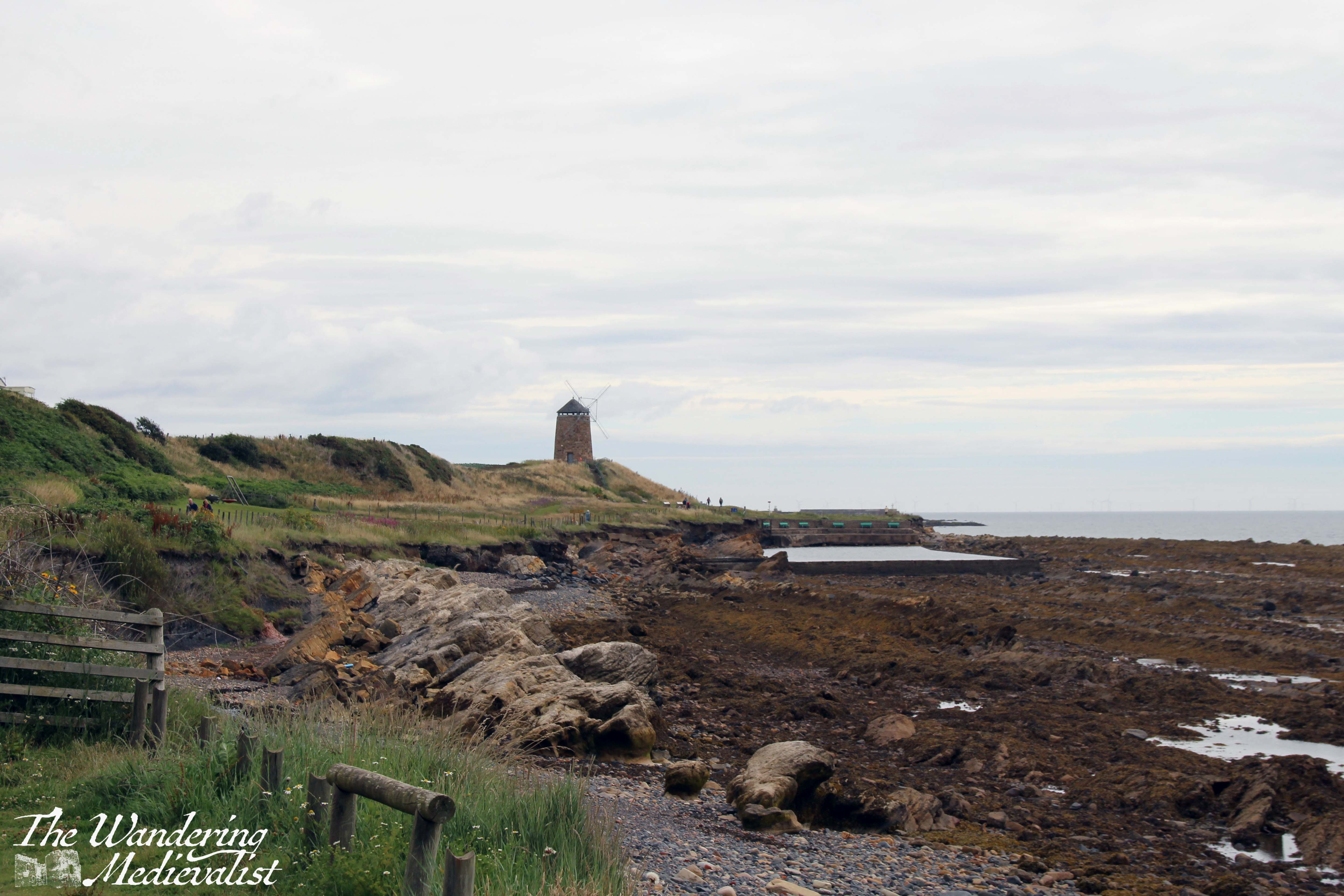
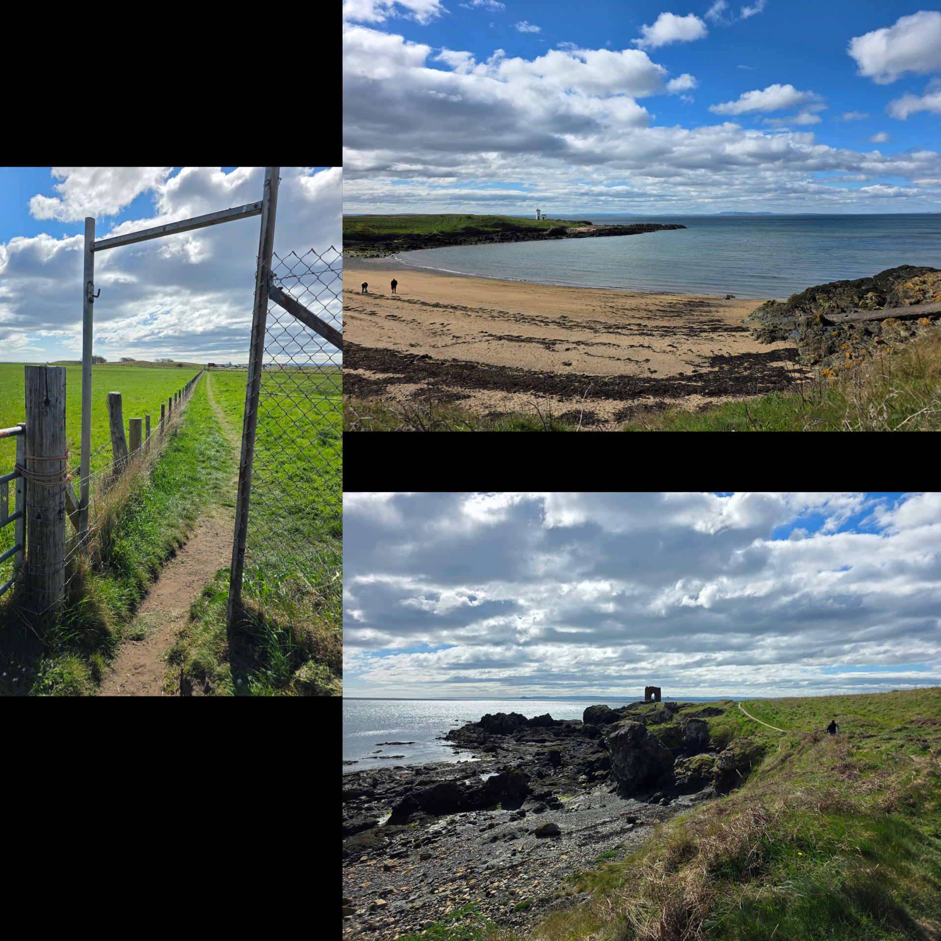
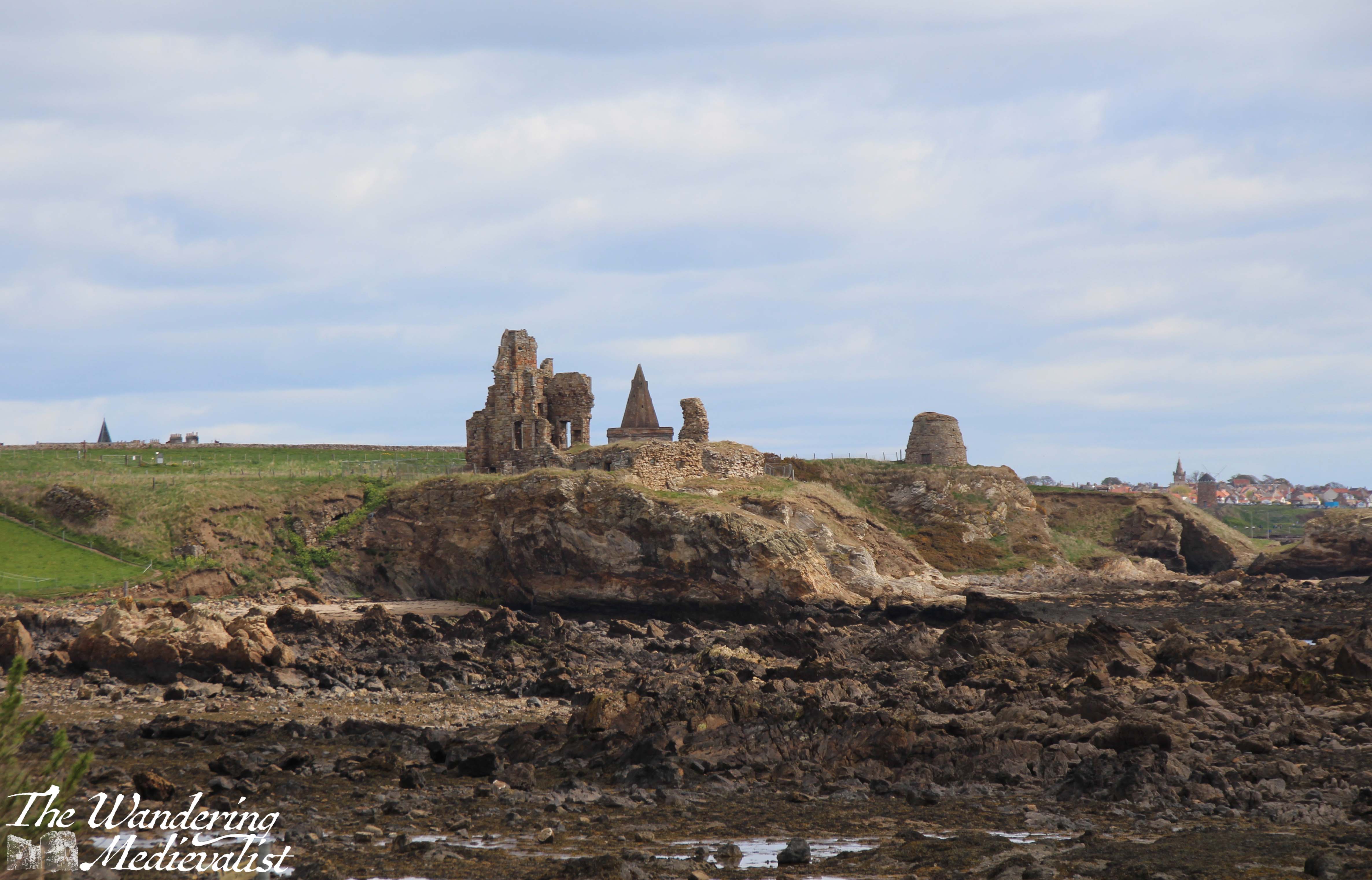
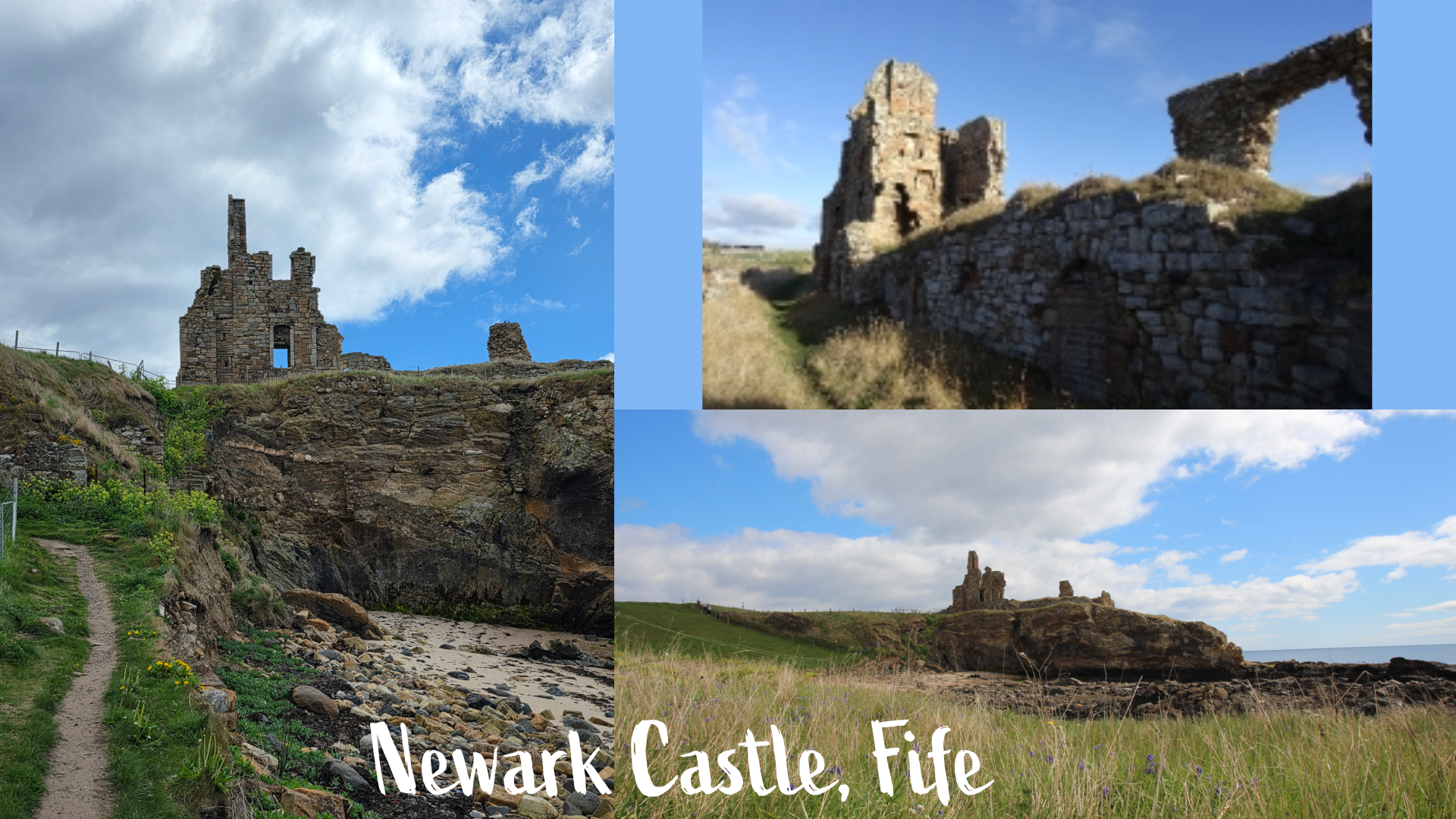
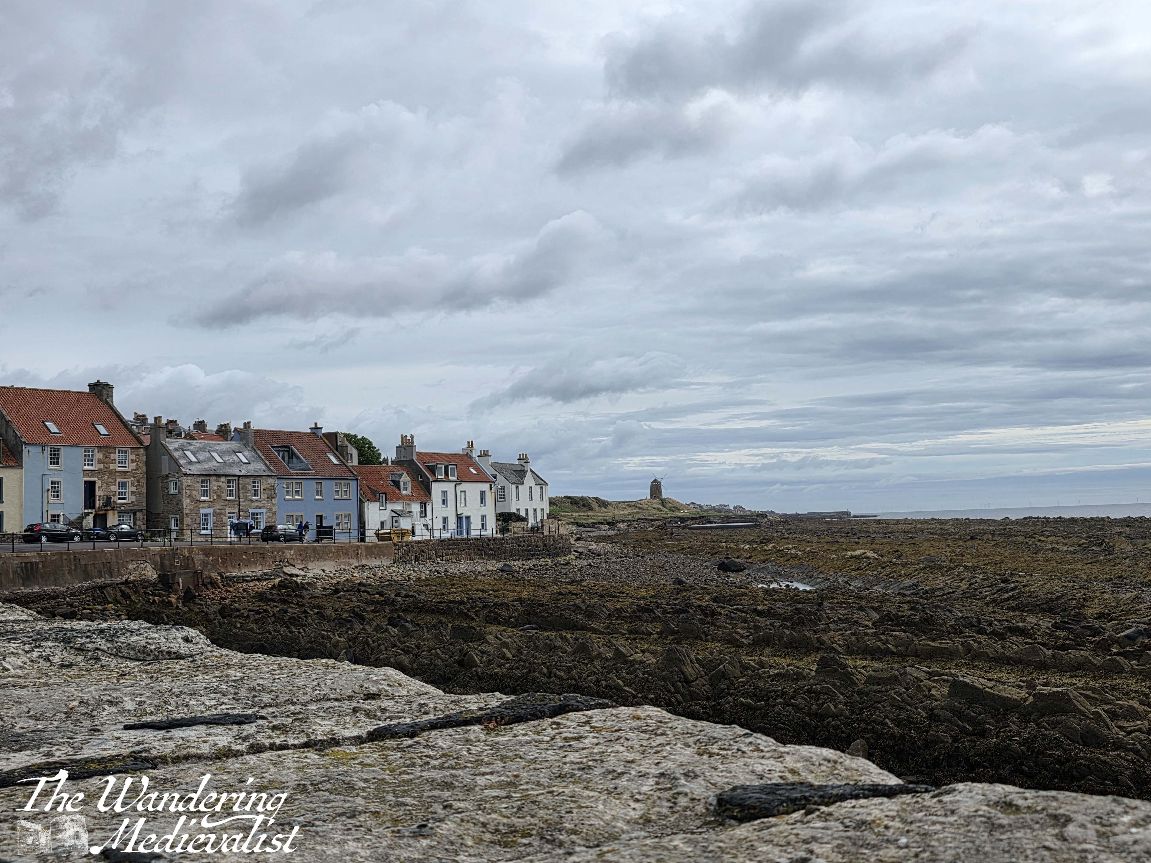
Immediately ahead, less than a ten minute walk, St Monans windmill dominates the horizon. A remnant of the 18th-century Scottish salt trade, the windmill pumped sea water into salt pans, which were boiled using the plentiful local coal supply – Fife was a major coal producer from the 1800s until the 1980s.
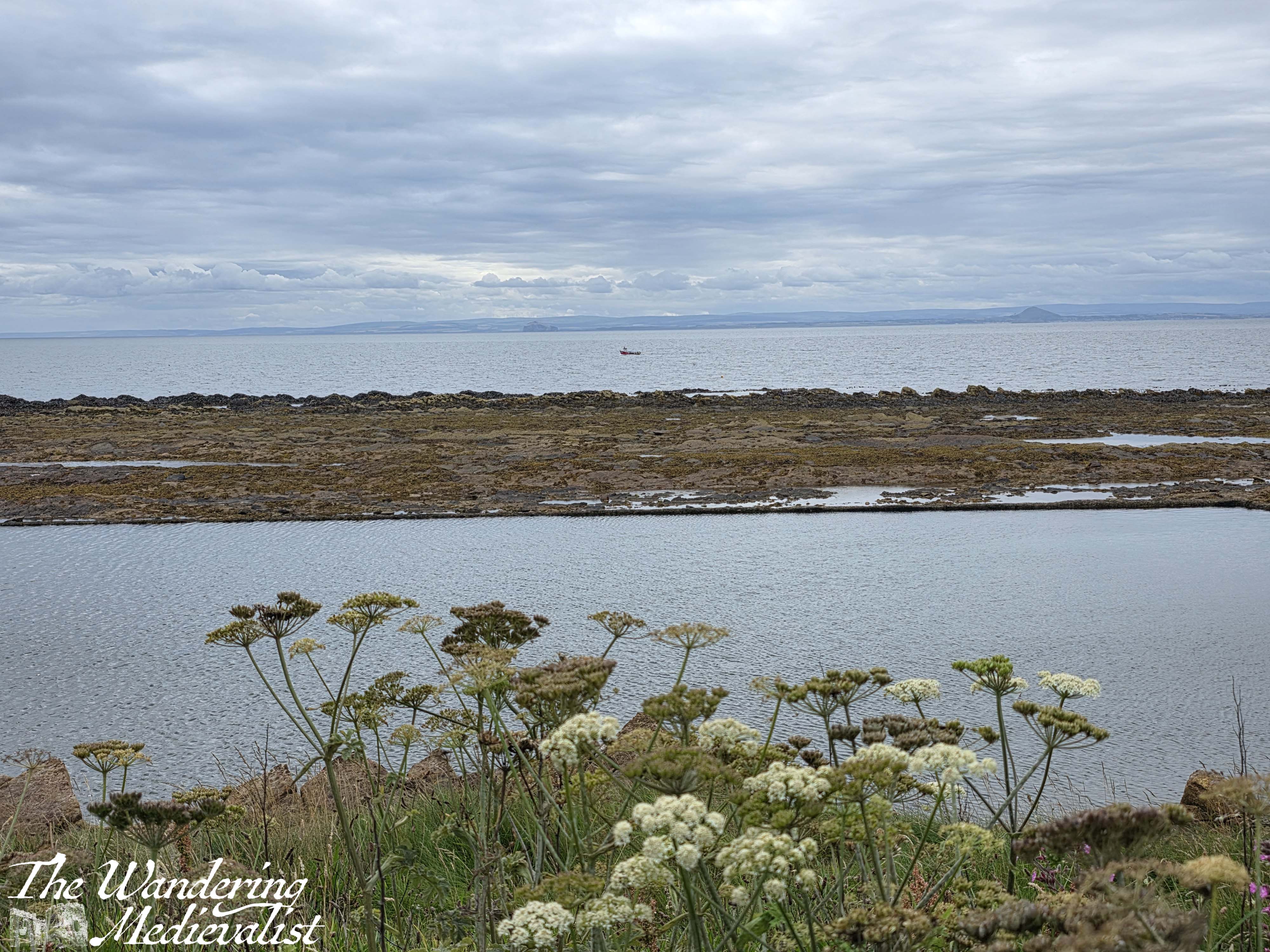
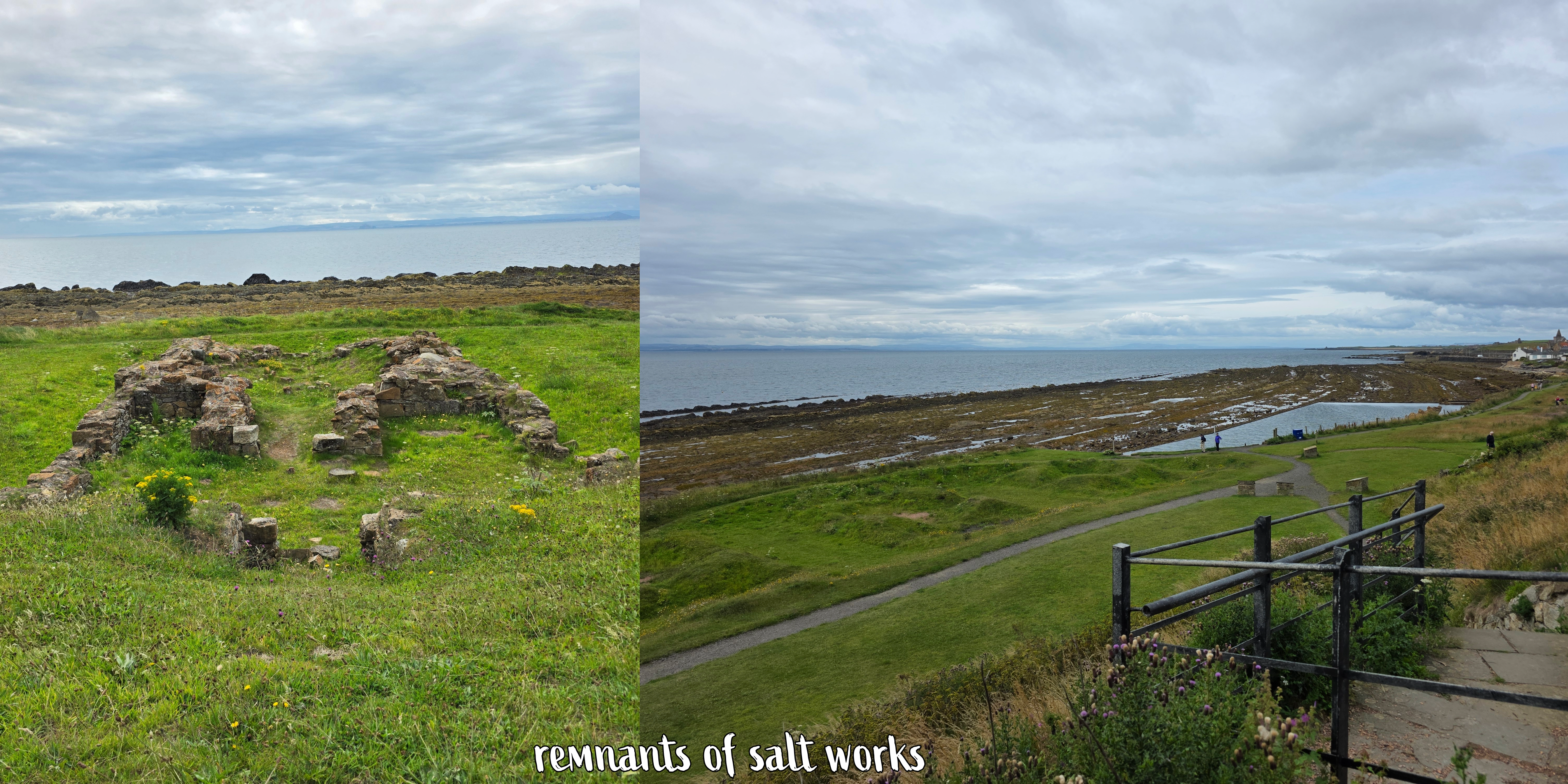
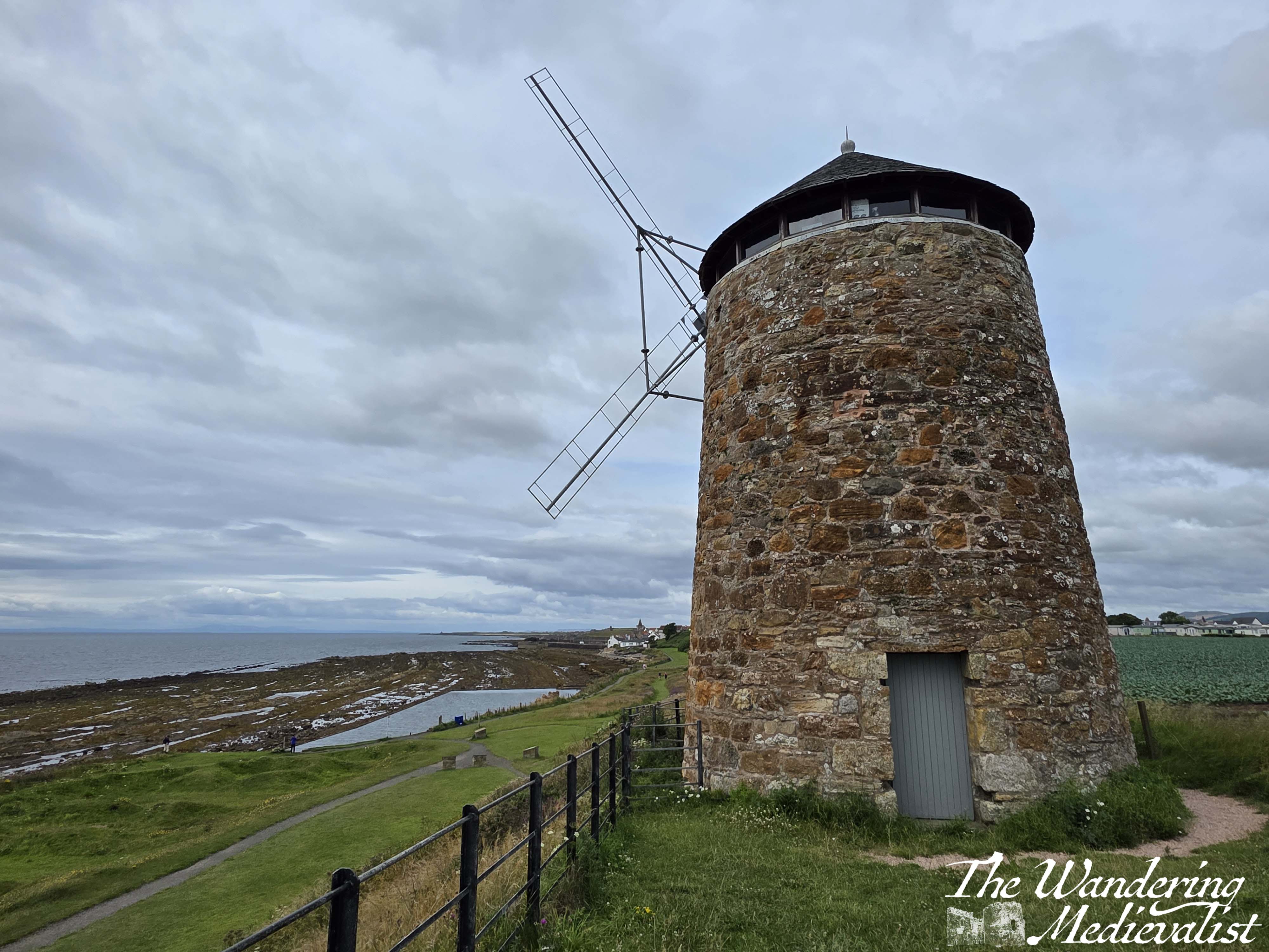
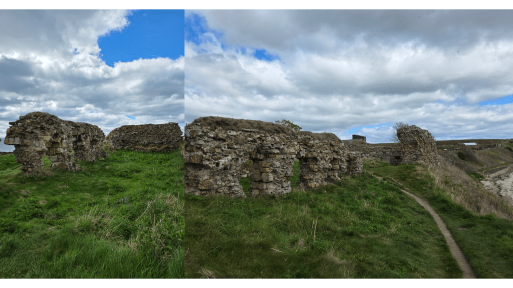
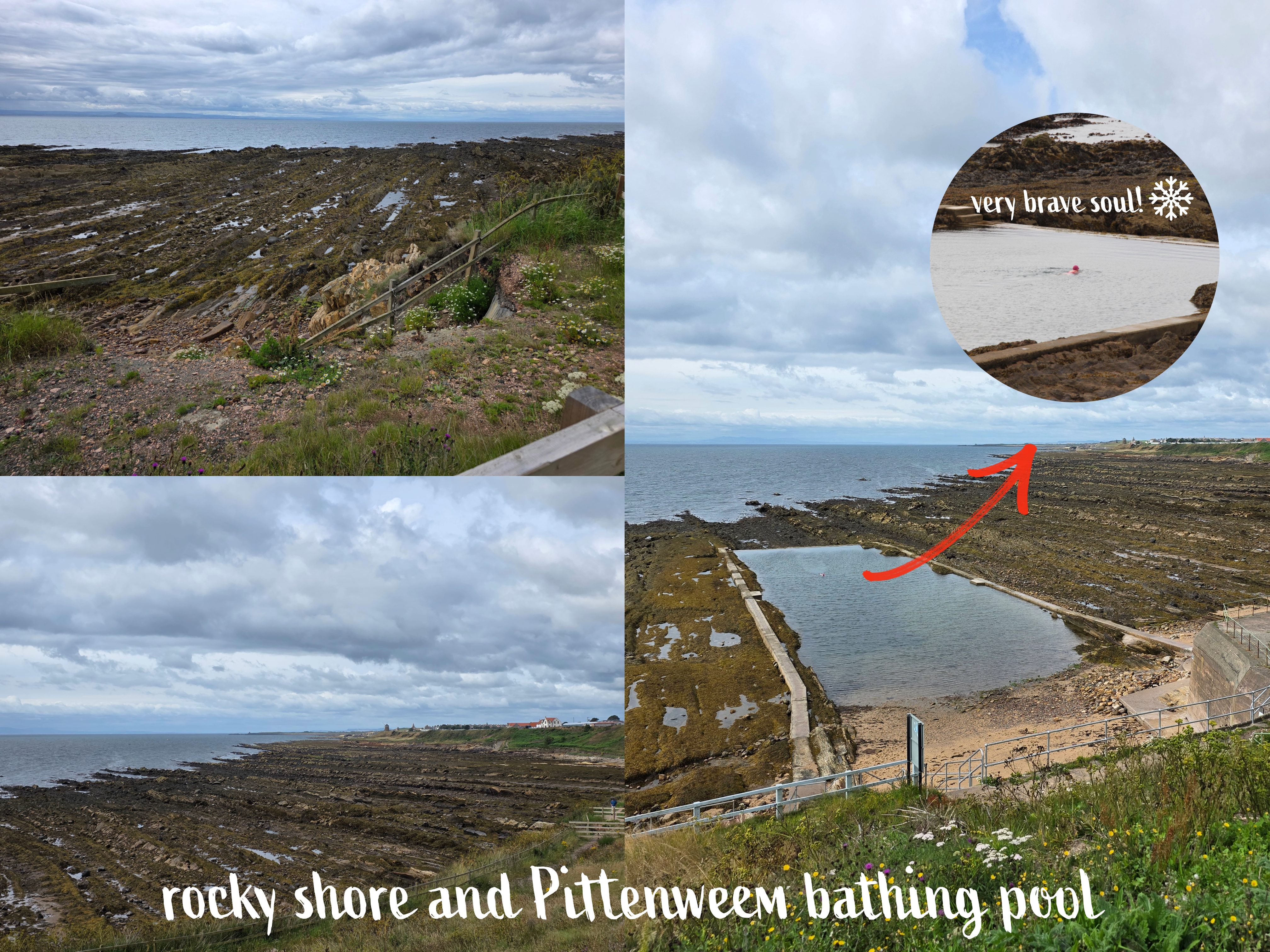
As you walk past the windmill, the remnants of the salt works are evident in indentations in the grass as well as the foundation ruins of a workhouse. I of course took a quick detour up to the windmill itself to see the view in both directions. Below the windmill is one of many coastal bathing pools though this one was empty in the brisk breeze.
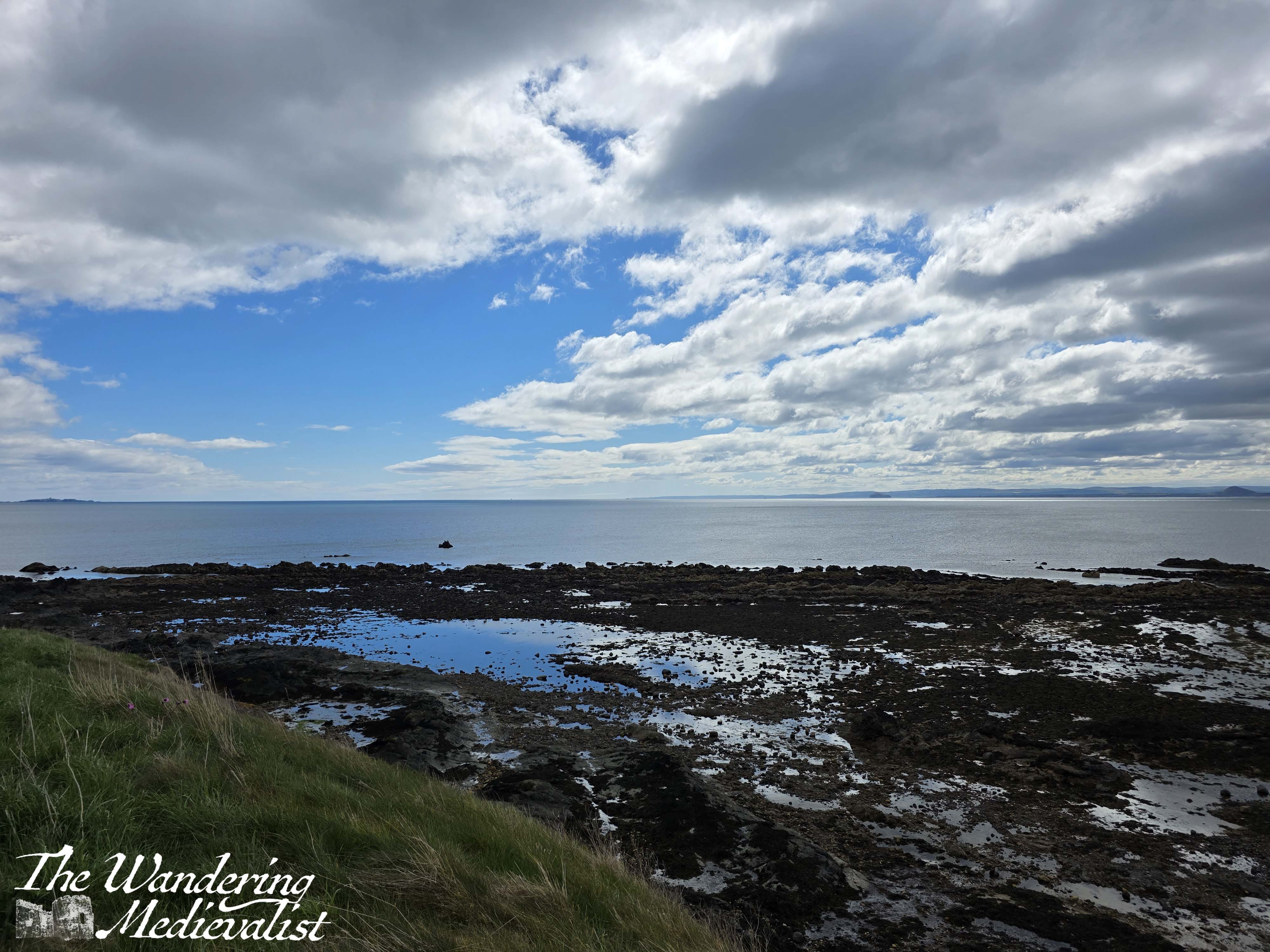
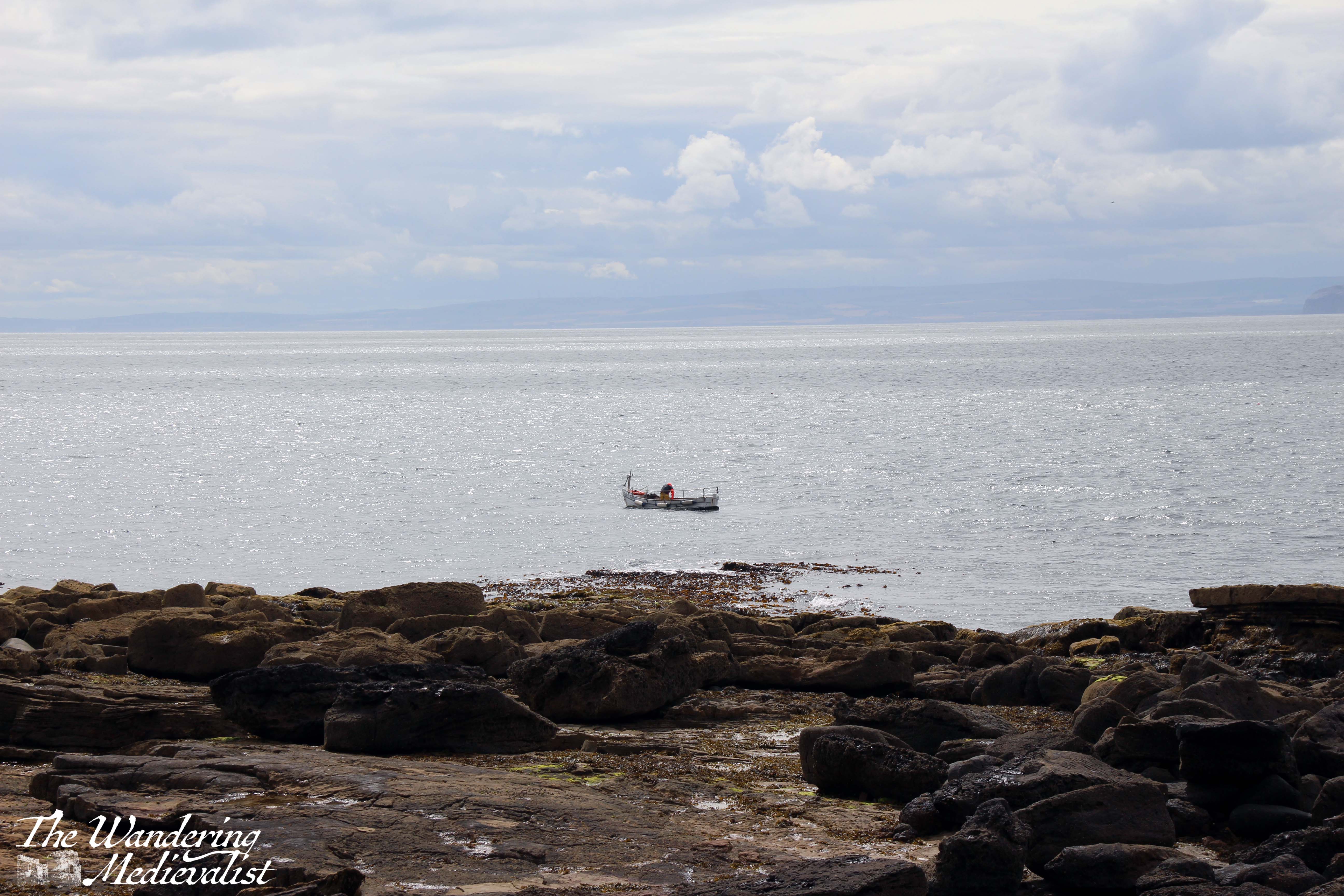
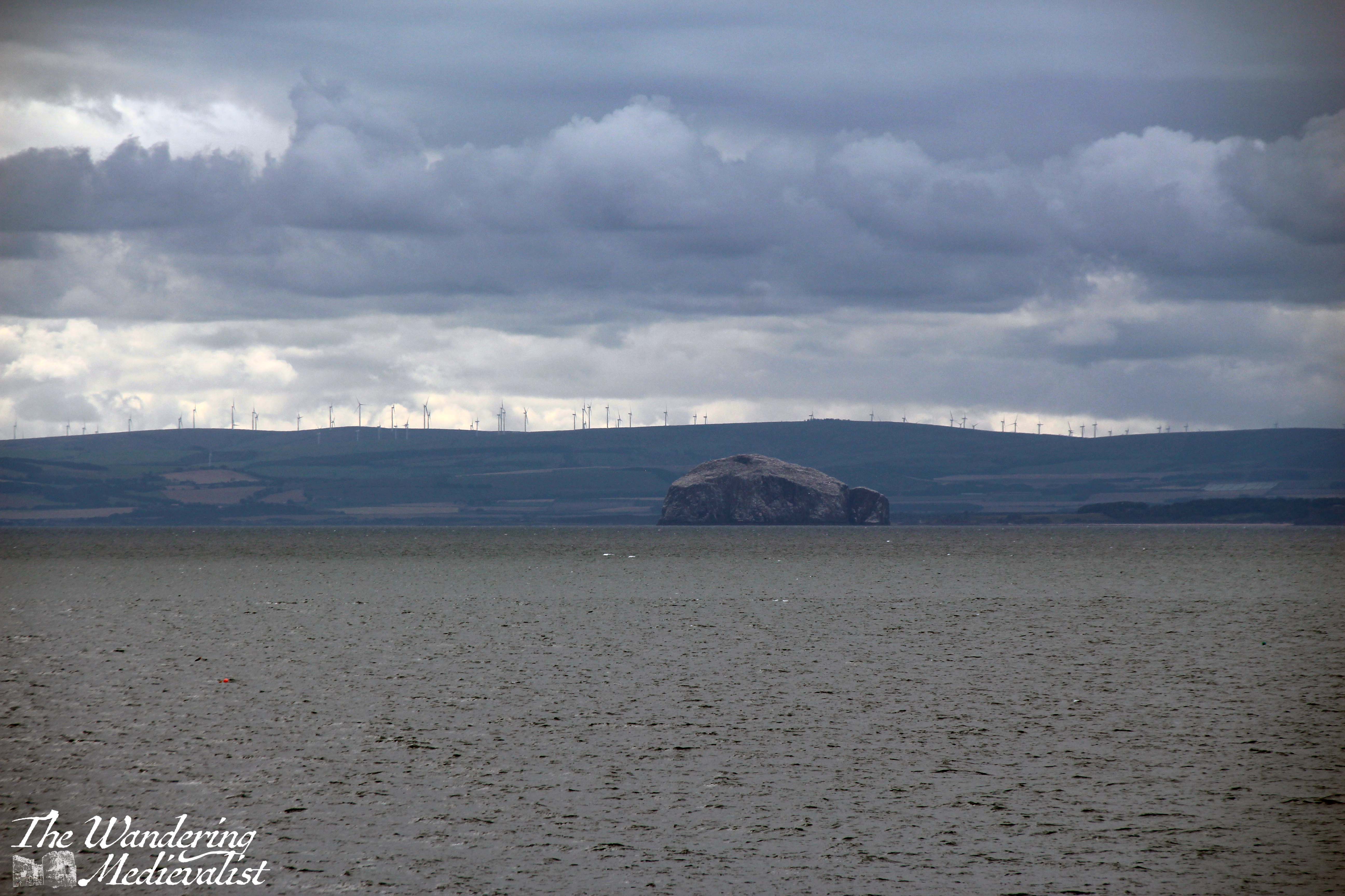
As I kept moving, I was warm enough to manage with just a t-shirt, but wind-breaker would not have gone amiss. This section of the walk was already busy again – more so than further towards Kincardine – with dog walkers and even a few foreign tourists. Passing the windmill, one can already see Pittenweem in the distance, as well as across the Firth of Forth to the Bass Rock.
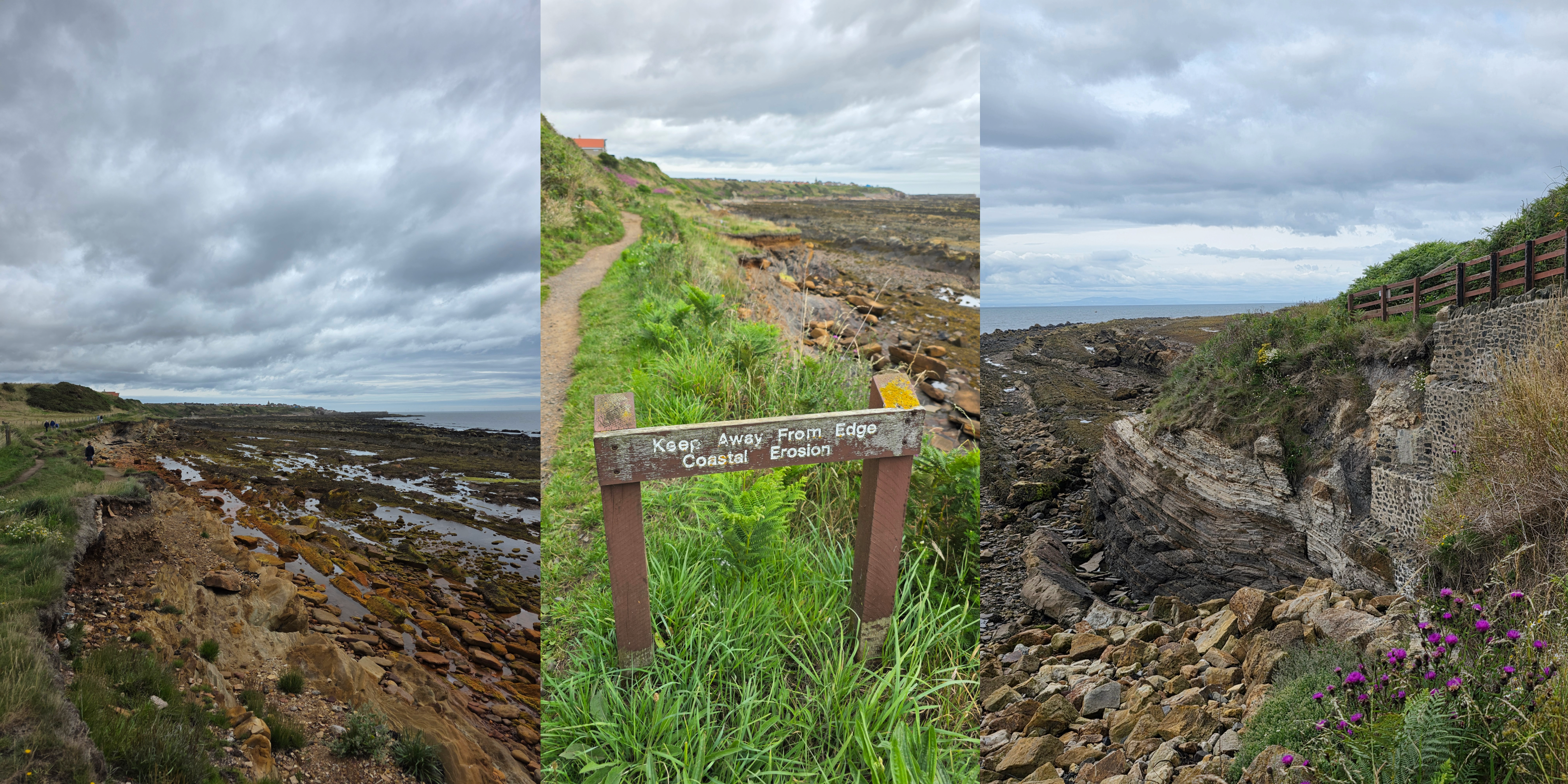
Not long before the houses of Pittenweem appear, the path splits with one route leading up the hill and the other along to the swimming pool, where there was a brave soul doing laps in what could only have been chilly water. Due to very evident coastal erosion, this portion of the path is quite new, heading up the hill towards West Brae, where there is a small snack shop and a mini golf.
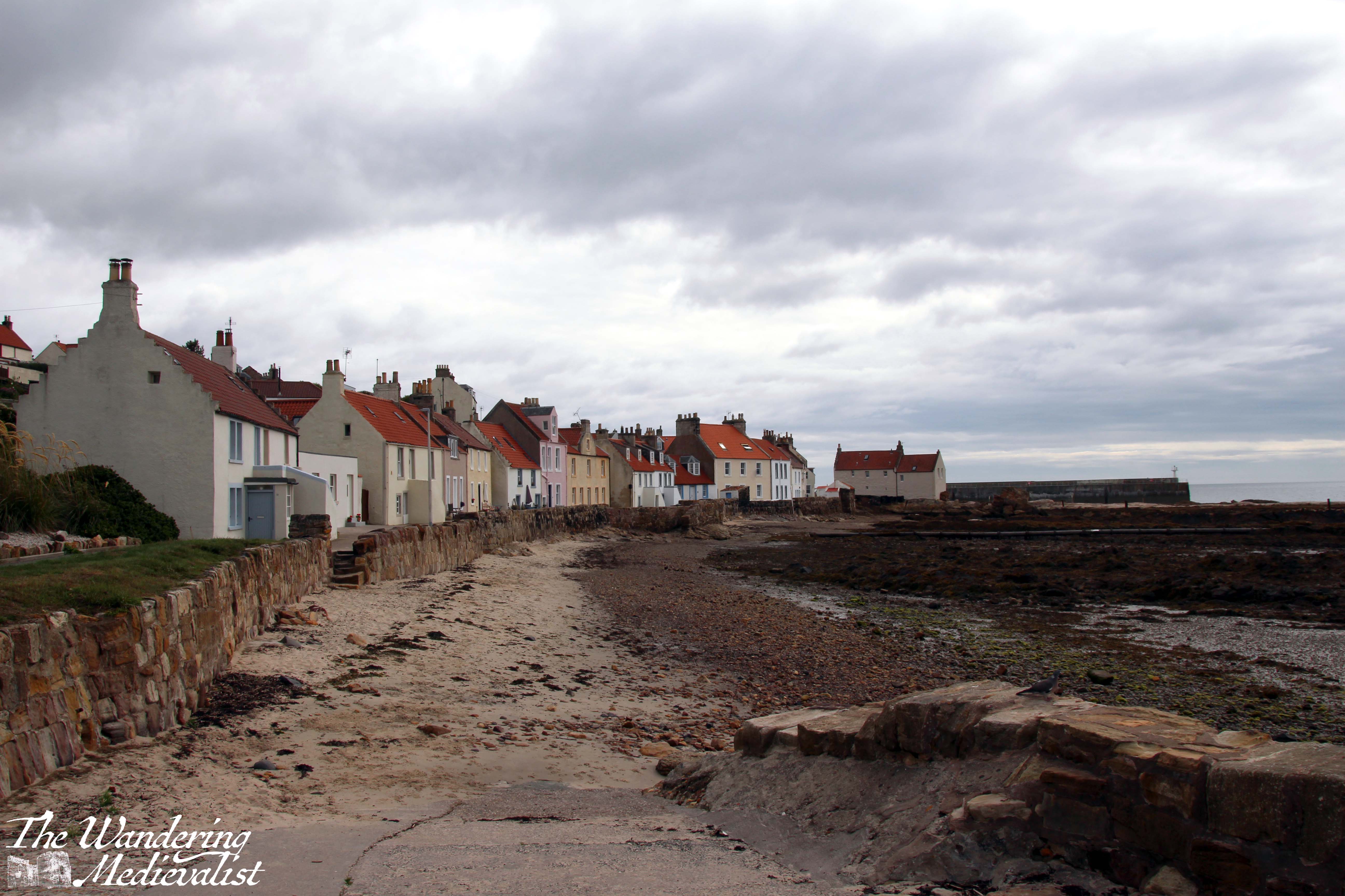
The coastal path heads down again after this brief rise and around the corner to a great view of the town. The sun was trying to come out as I reached this point, desperately fighting against the clouds, which made for some very dramatic colours, as you can see above.
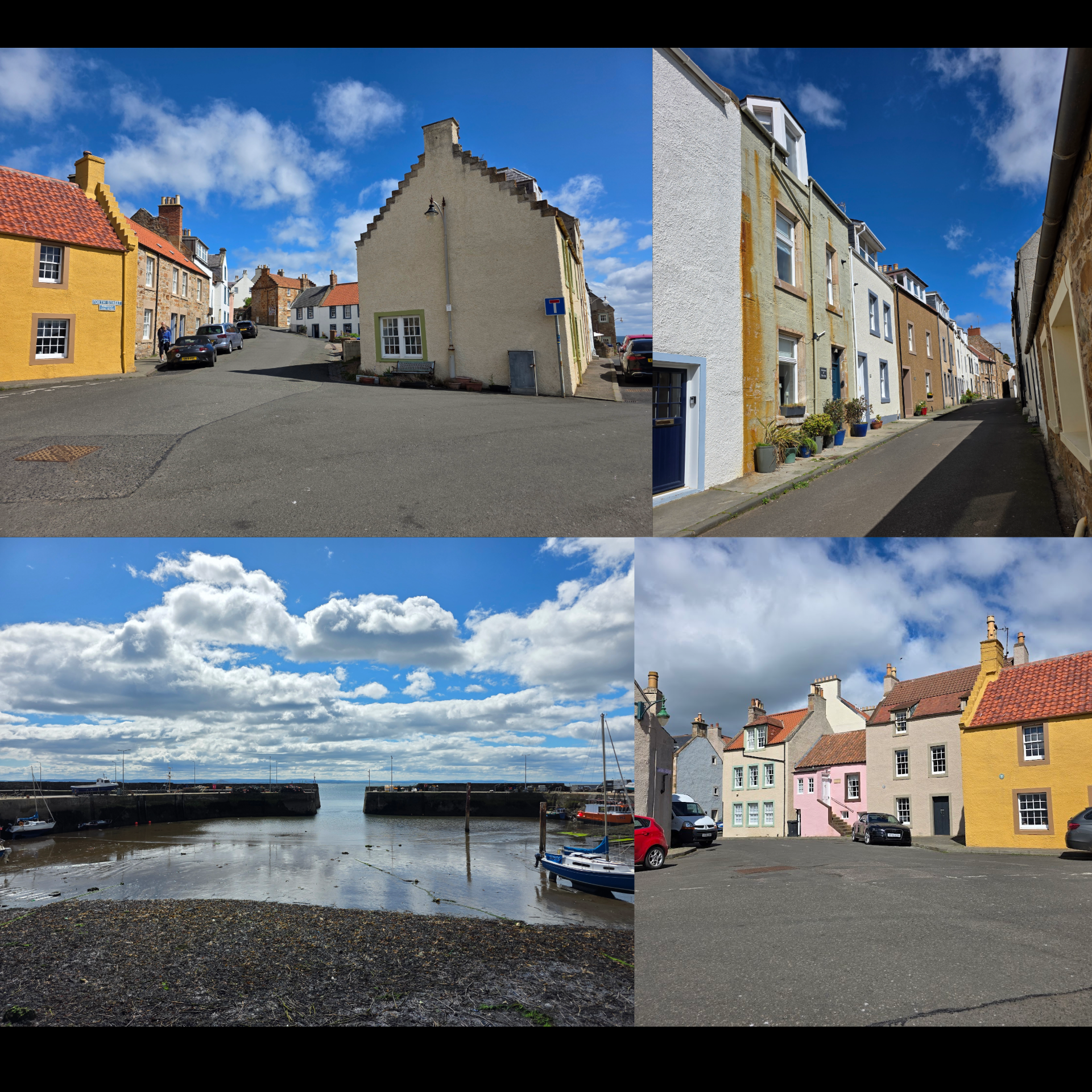
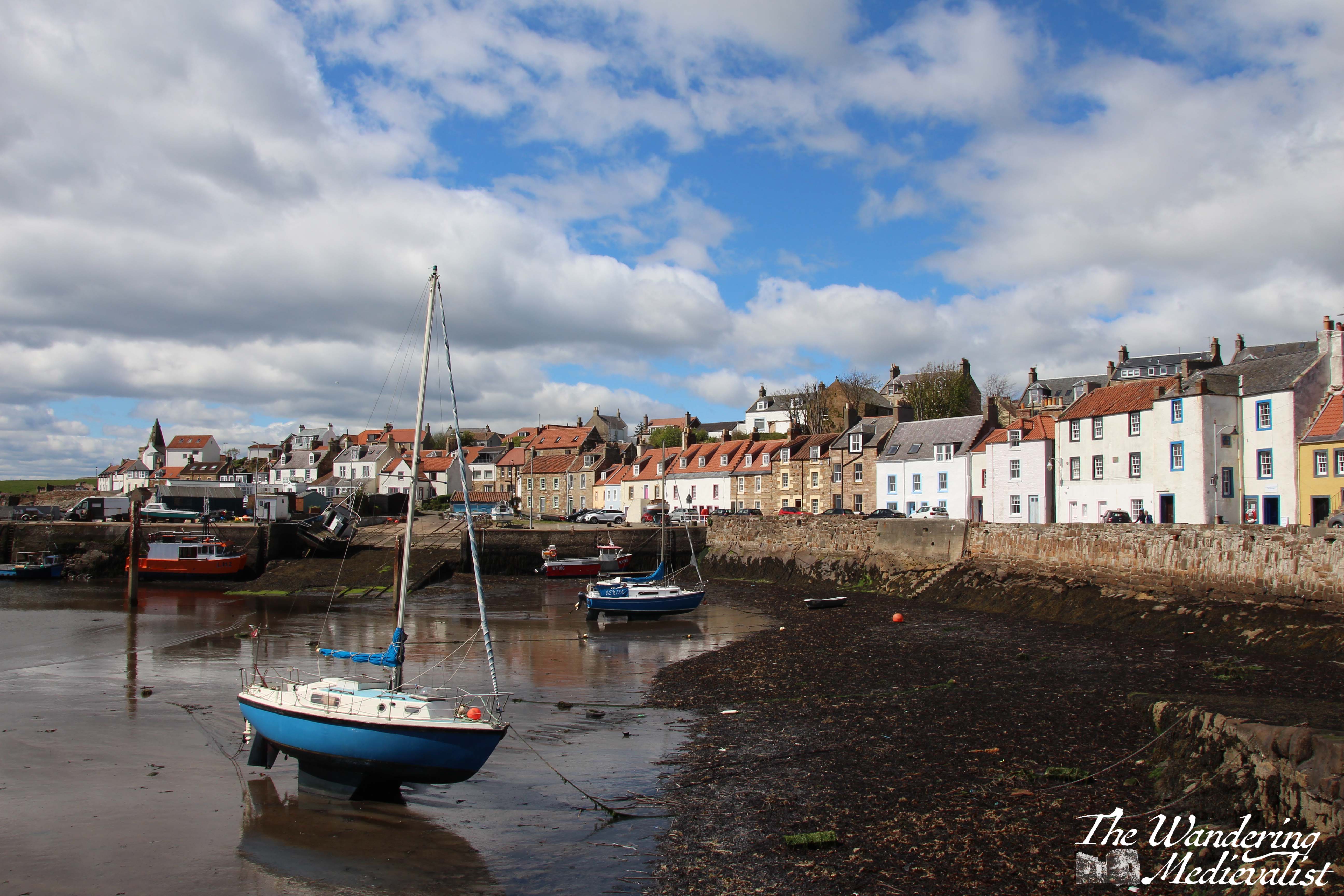
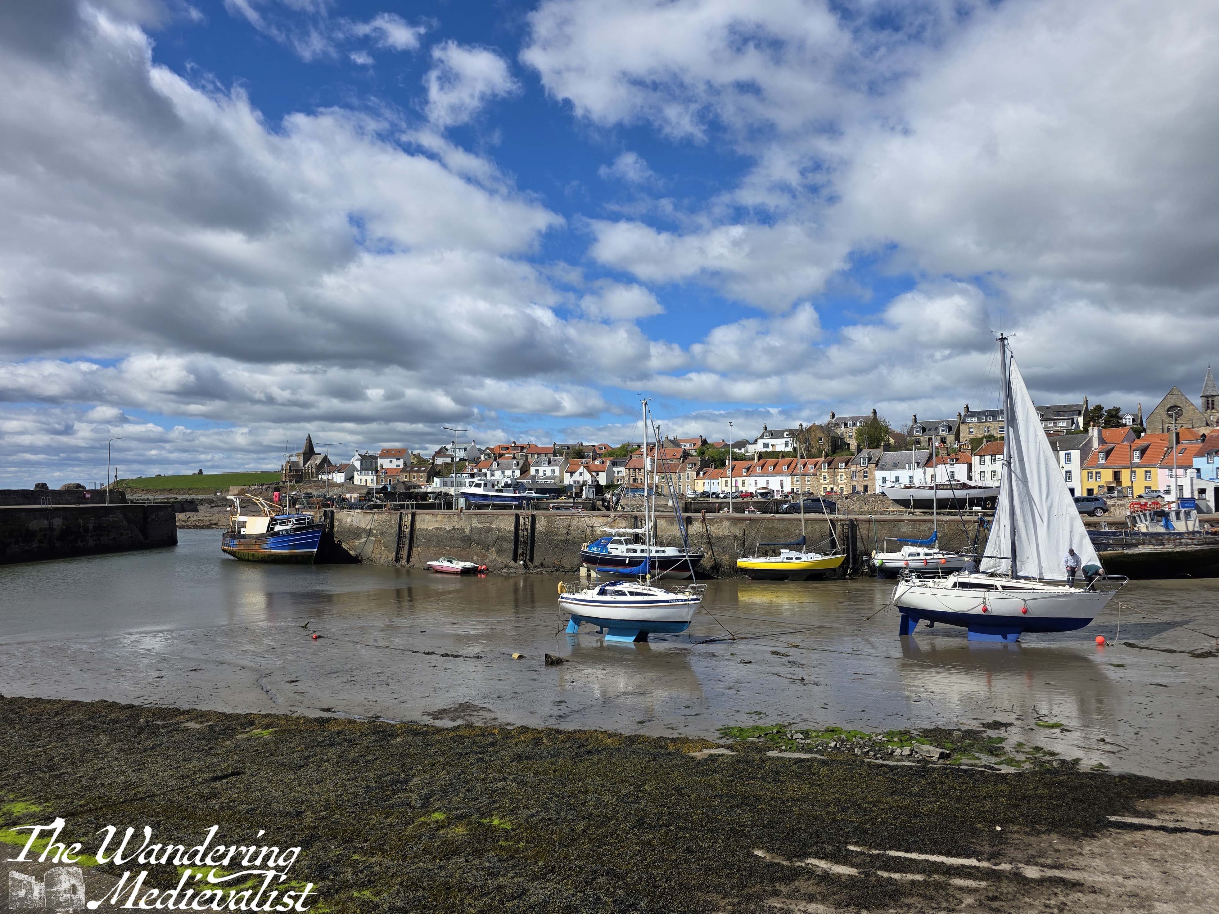
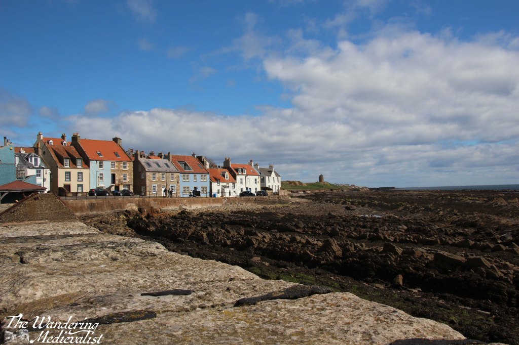
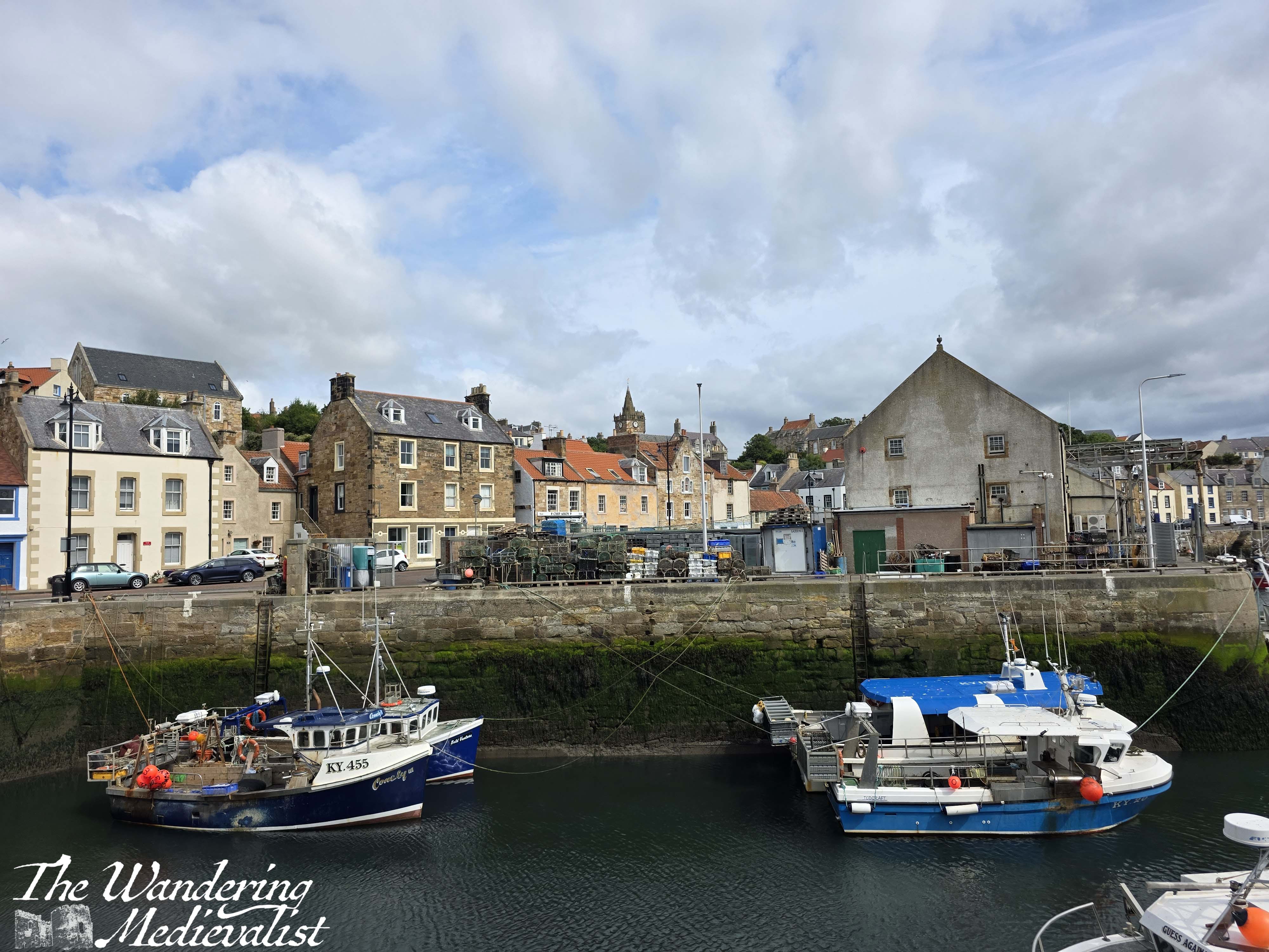
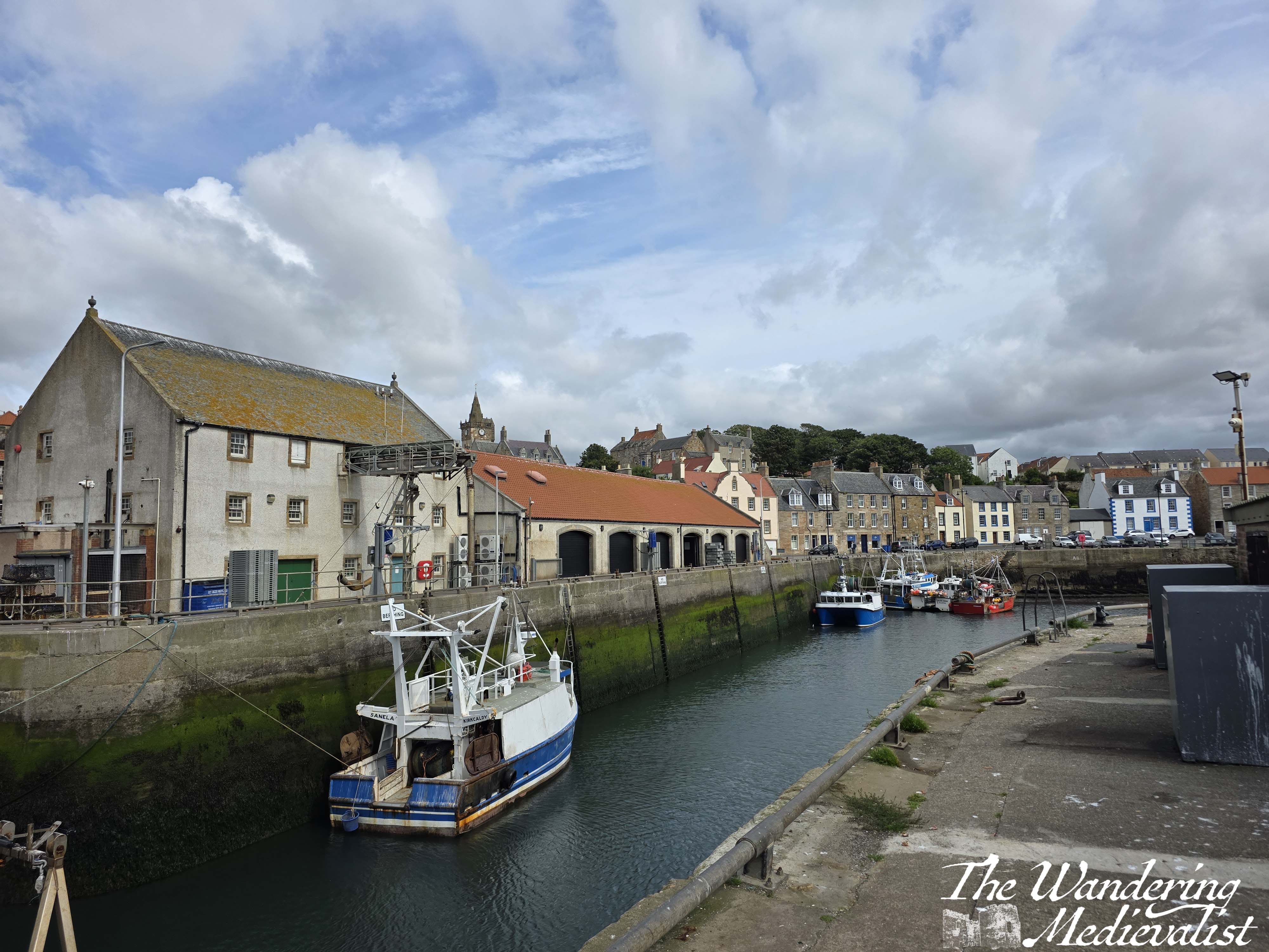
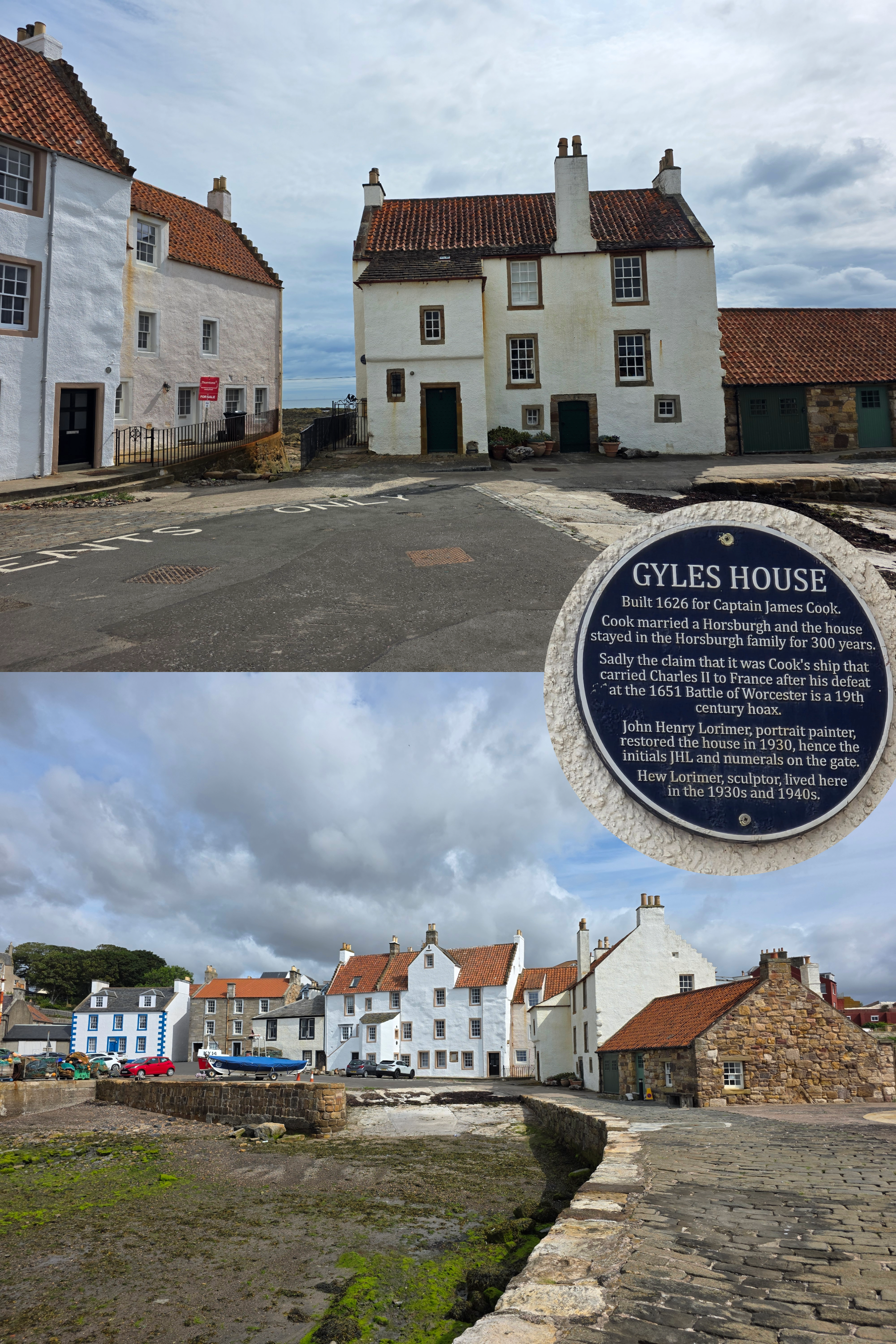
The route enters Pittenweem on the path between the coast-facing houses and the rocky shore; clearly an area built well before the advent of cars, when it would have been more likely to take a boat to your doorstep. Shortly the path opens up to a road and a car park, at the end of which is a beautiful statue that is the Pittenweem Fishermen’s Memorial – the figures of an anxious mother and child looking out over the sea for their returning loved ones. It could as easily be in my home town as here, though Pittenweem is still far busier as a fishing port. In fact, it is the busiest port in the East Neuk with an active fish market.
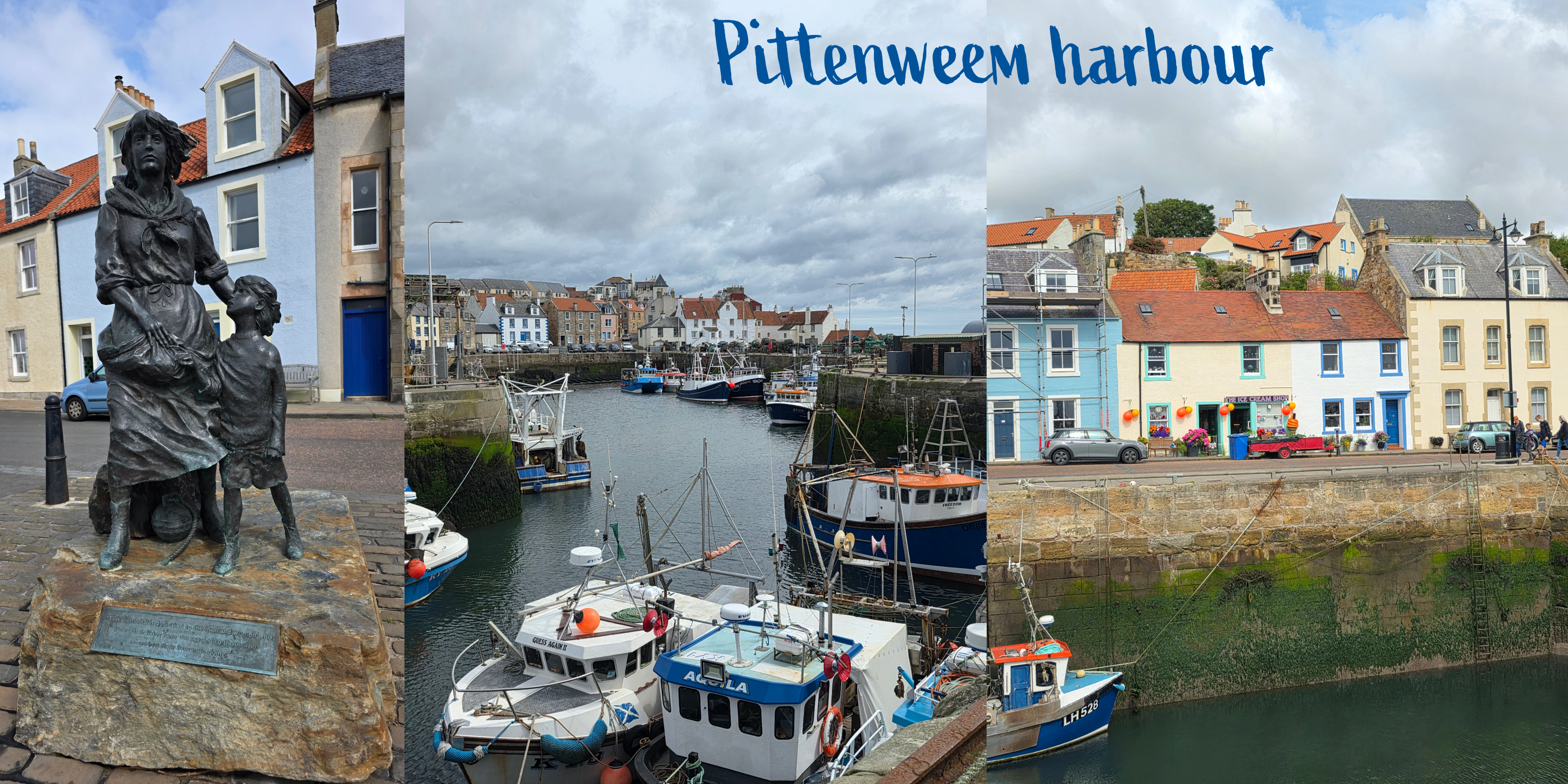
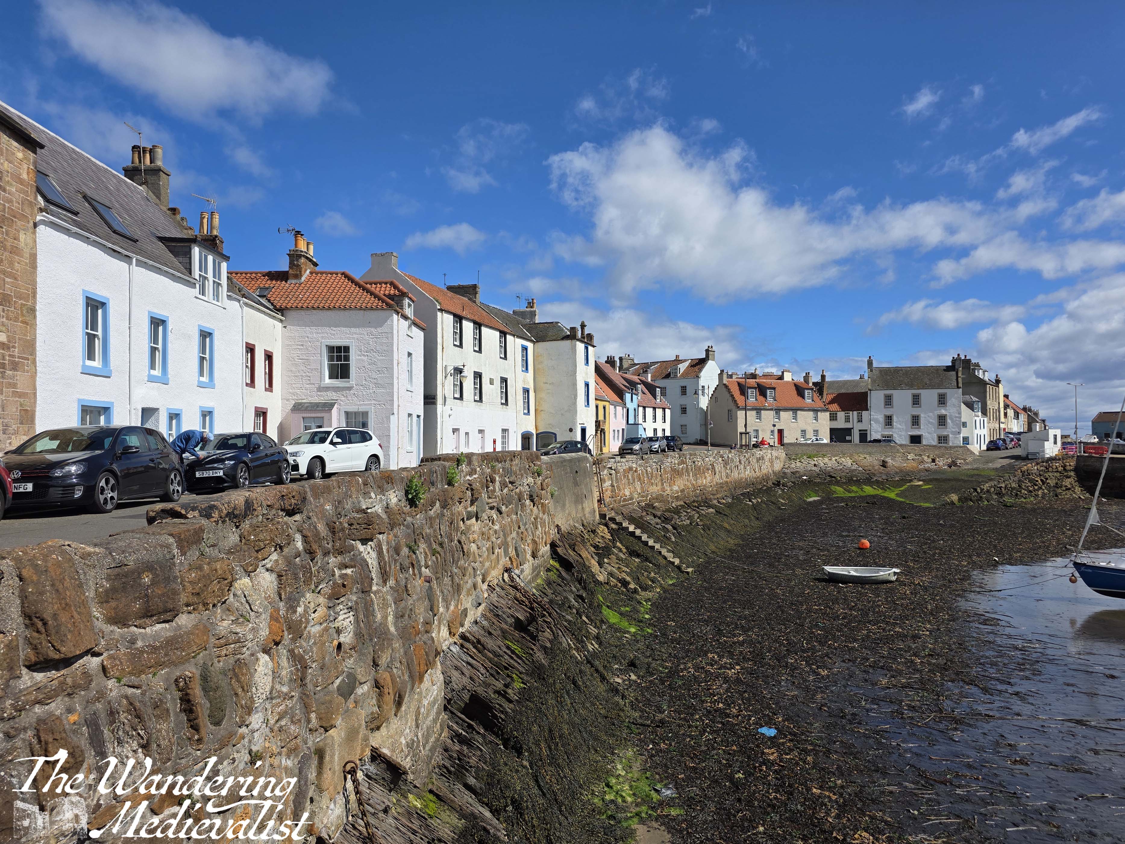
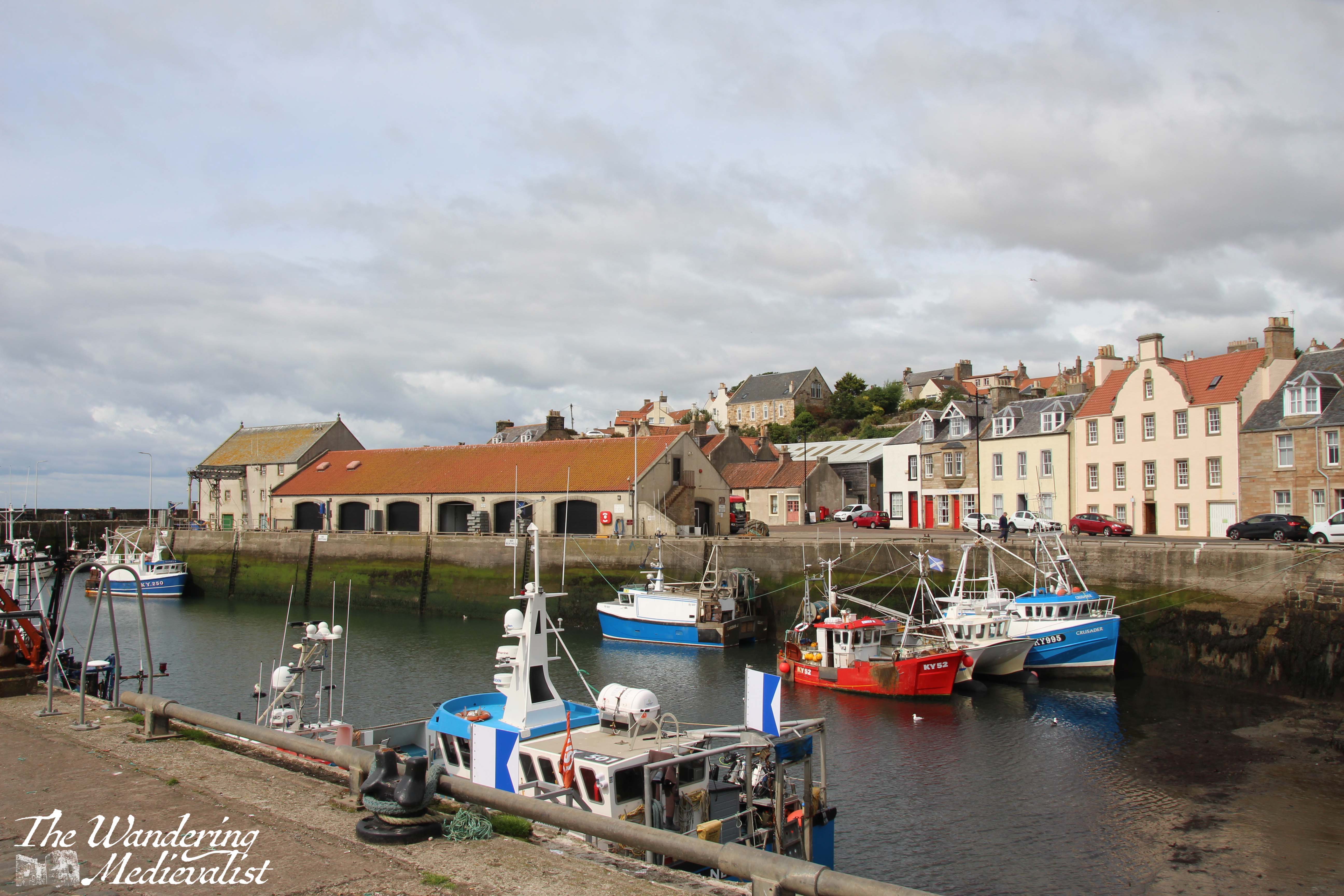
I took a short detour – again – out the harbour wall where you get a real feel for how active the place still is. There are some beautiful old buildings at the water’s edge, which I took a bit of time to appreciate before heading on my way.
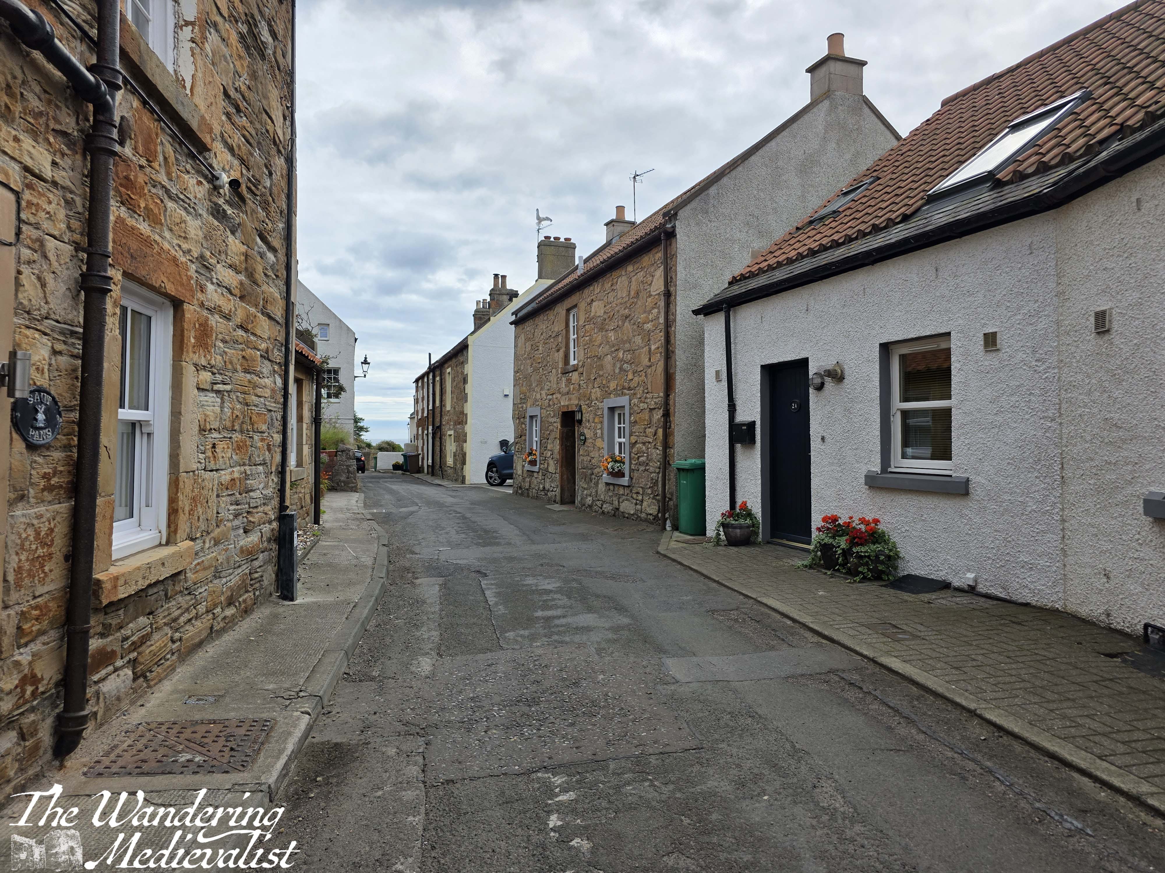
Beyond the harbour, the path heads up a hill along Abbey Wall Road, which is lined with houses. I love the way the stone wall rises from the rock, as if they were one.
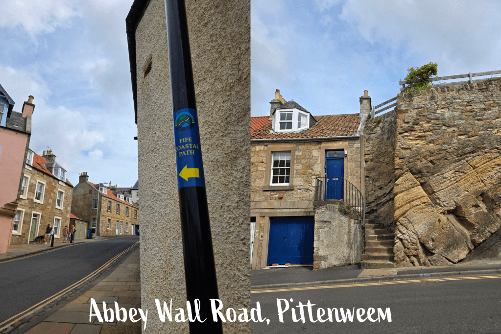
Then suddenly, at the top of the hill, the view opens up and is a gorgeous vista over the ocean and coast in both directions.
From here to the edge of Pittenweem, the path hugs the top of the cliff, with neighbourhoods disappearing up roads to the left, and the path a hazy line through Glebe Park, some grassy patches and behind walled gardens.
As with most East Neuk villages, the edge of Pittenweem is very dramatic, with a line of houses right up against a wide field. Less than a quarter of a mile beyond, the path takes a turn down the coast with some relatively steep rock steps that could easily be slippery if they were damp.
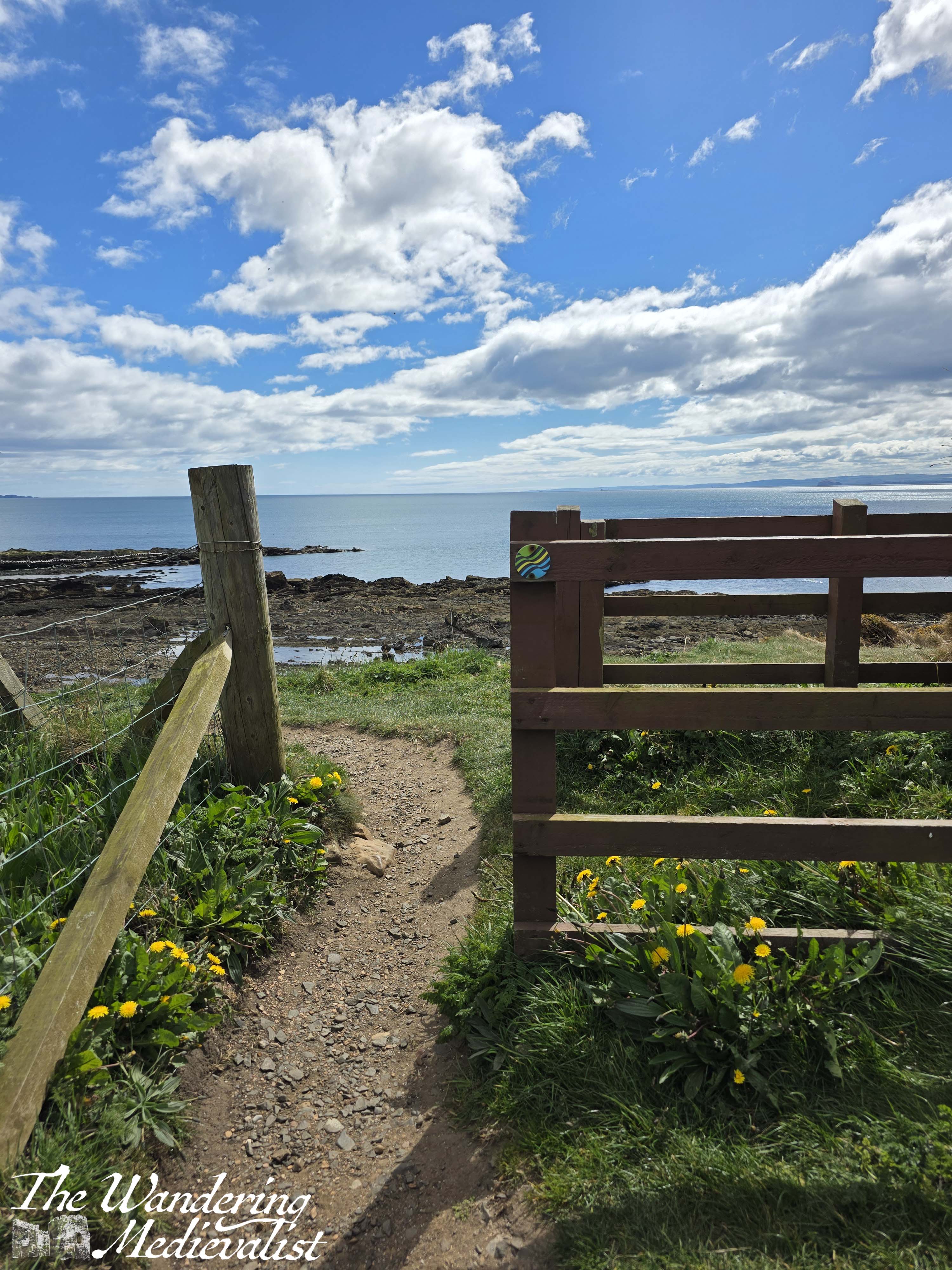
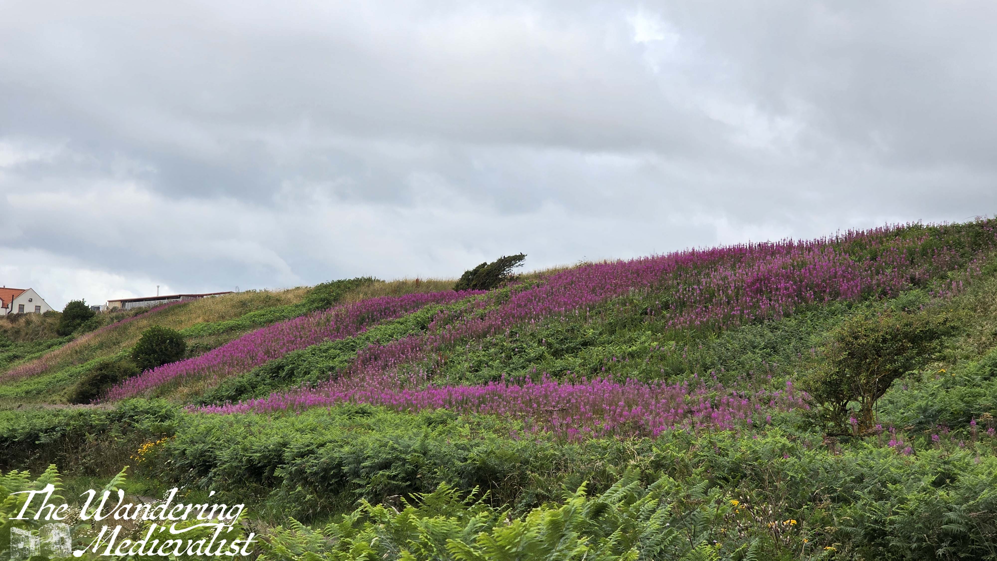
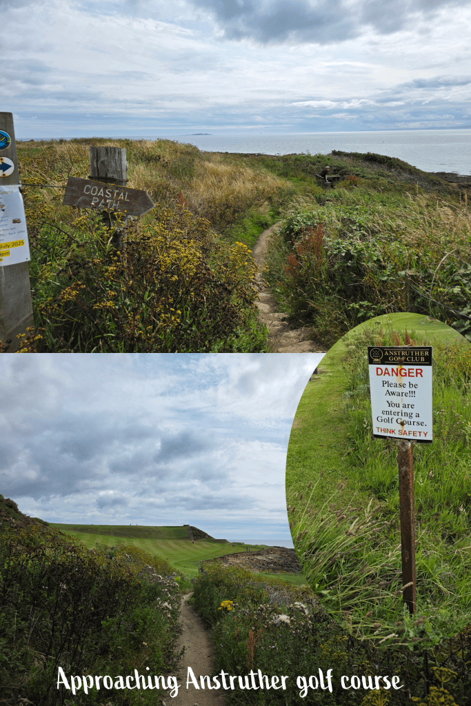
Descending the rocky steps, one finds the first signs for Anstruther Golf Course, and the alert that walkers should be courteous of players and listen for any signs that an errant ball might be coming their way. Wildflowers line the narrow trail until suddenly they stop, with well-manicured grass immediately ahead.
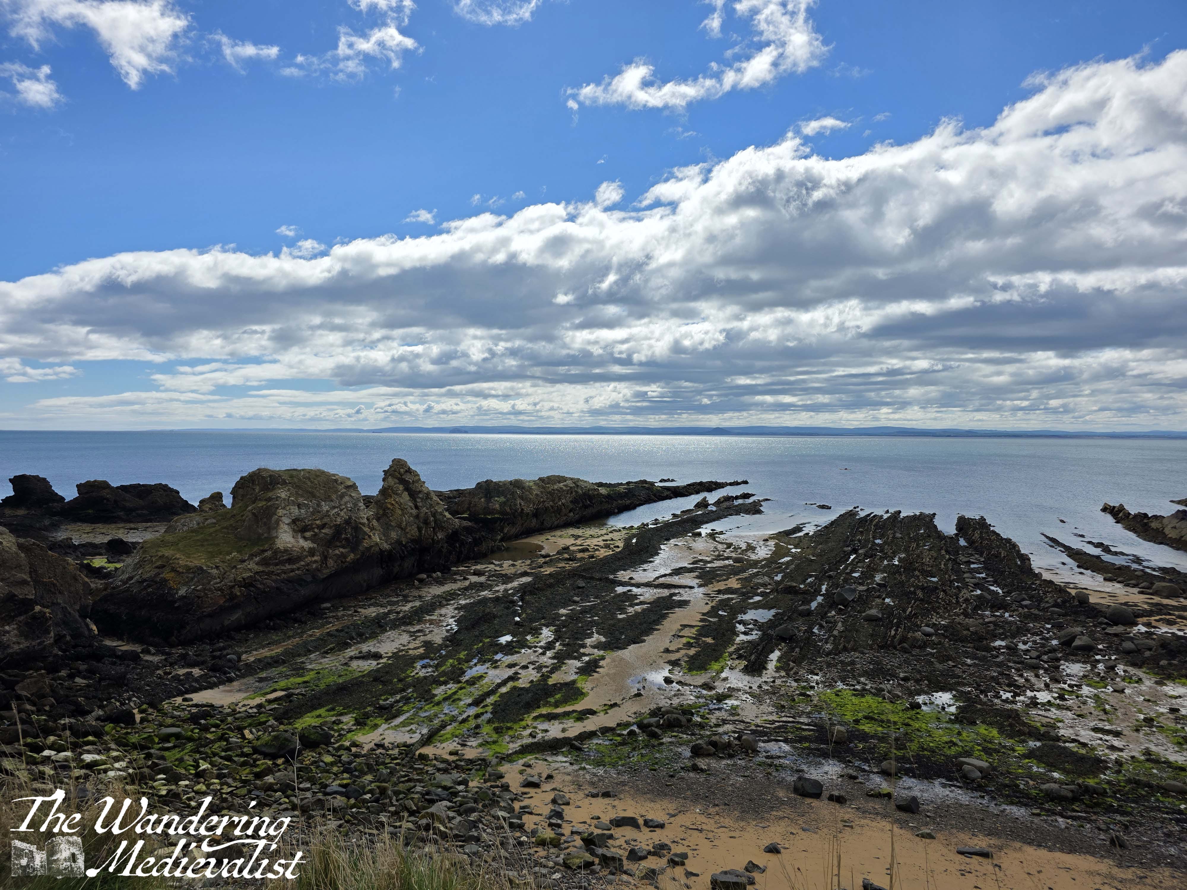
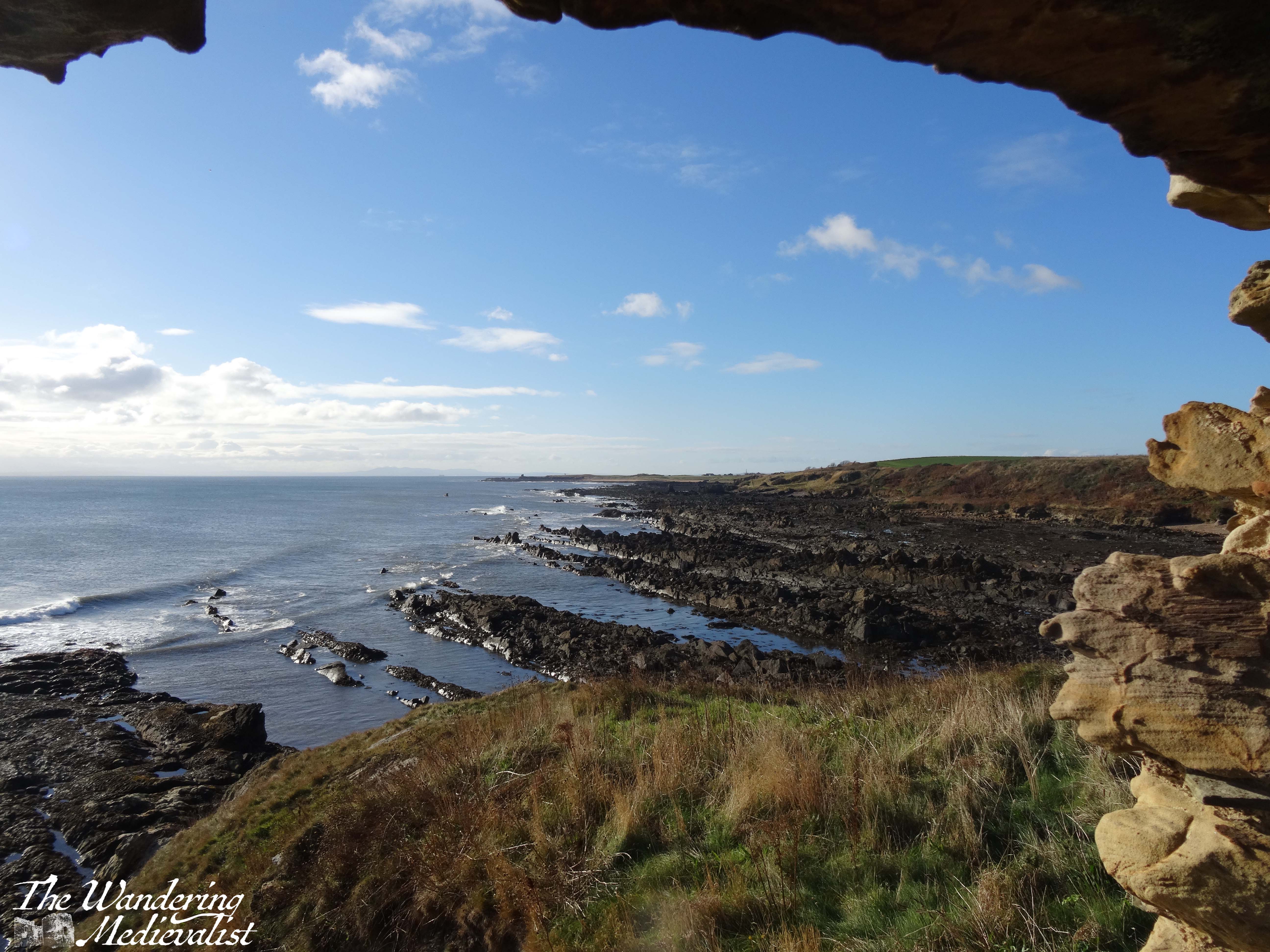
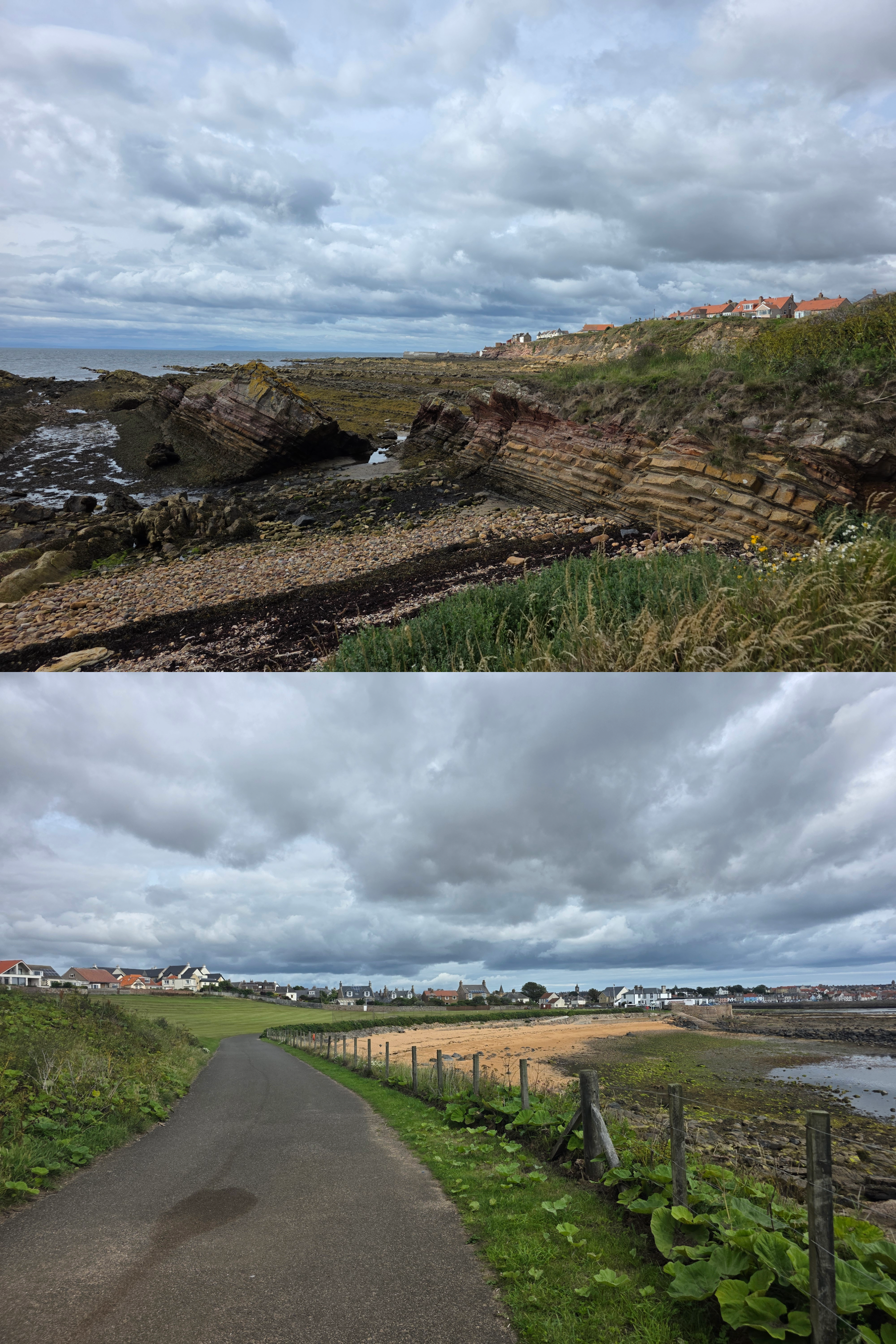
Generally, the Coastal Path is best followed by keeping close to the edge of the grass, where it meets the rocky shore. There are some great views back along the dramatic shale coastline, back to Pittenweem.
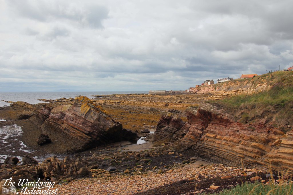
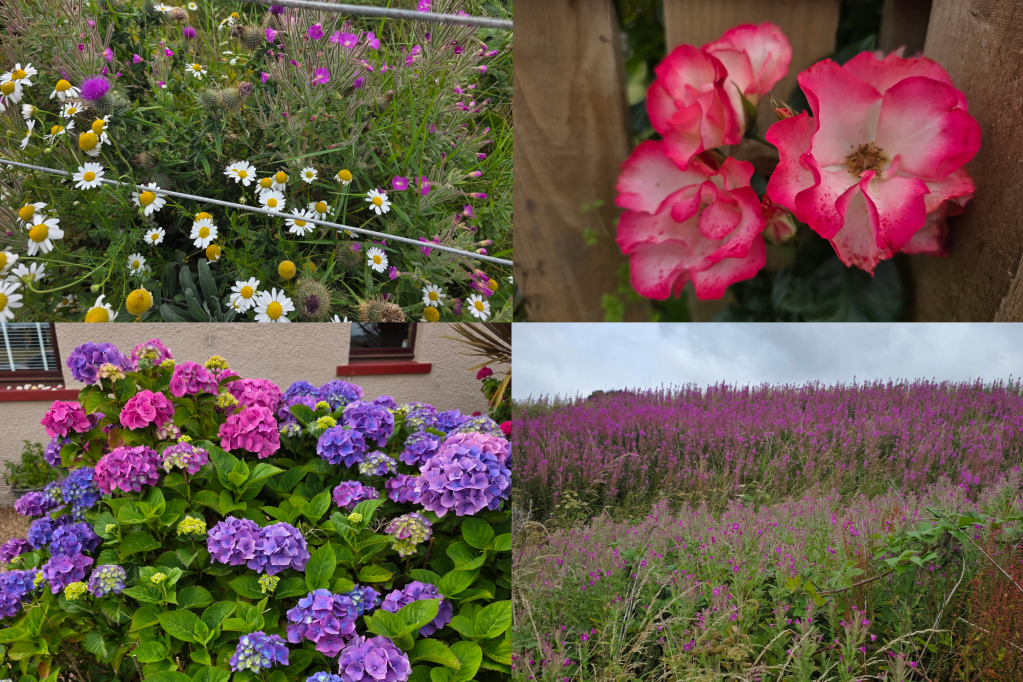
In little time, the edge of the golf course moves inland, with the path sticking close to the shore. It isn’t particularly well marked, but as long as you stay on the edge of the line where the shore meets the beach, you are in good shape, and there is an obvious trail. There are also some relatively gentle ups and downs – in fact this whole section has a few more ups and downs than many on the East Neuk – between grass tufts, a few boulders, and some more wild flowers and gorse.
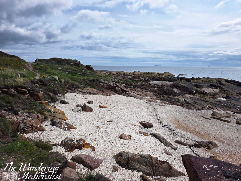
You will pass this beautiful white beach made entirely of shells, which some have used to write out messages on the rocks as they go by. It looked to me like the kind of beach nicer to look at than walk on – sharp shells are not the greatest material to explore.
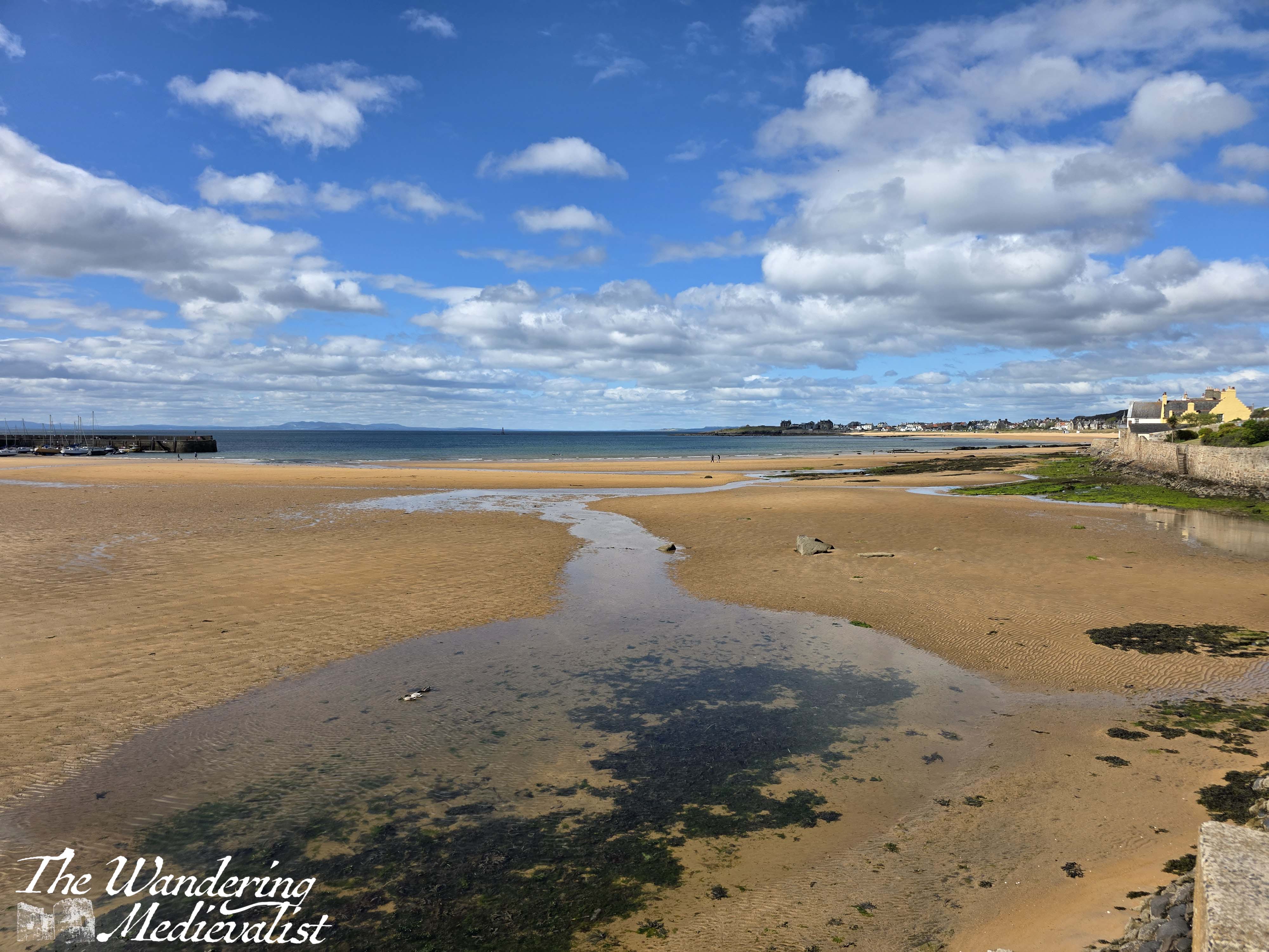
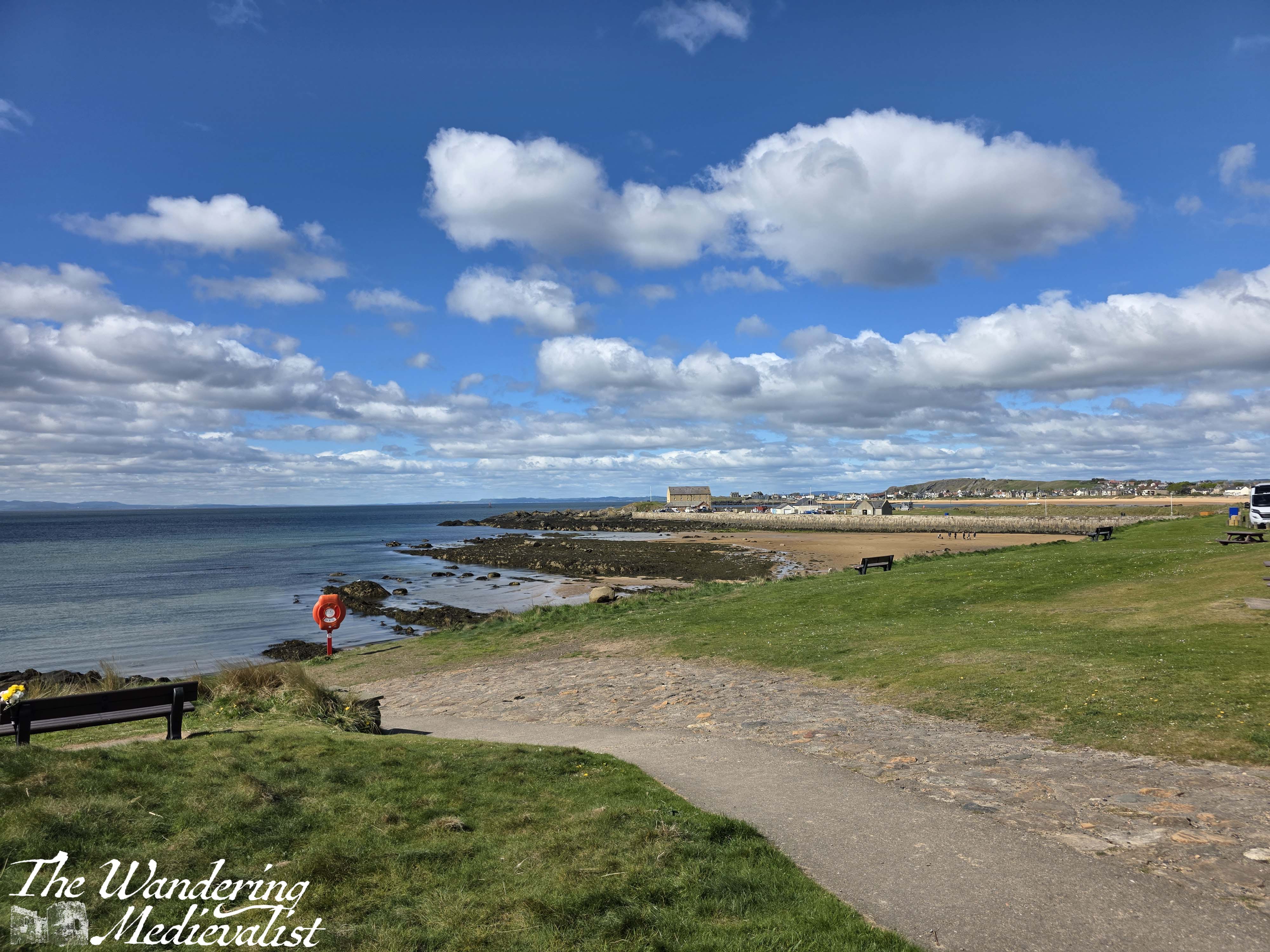
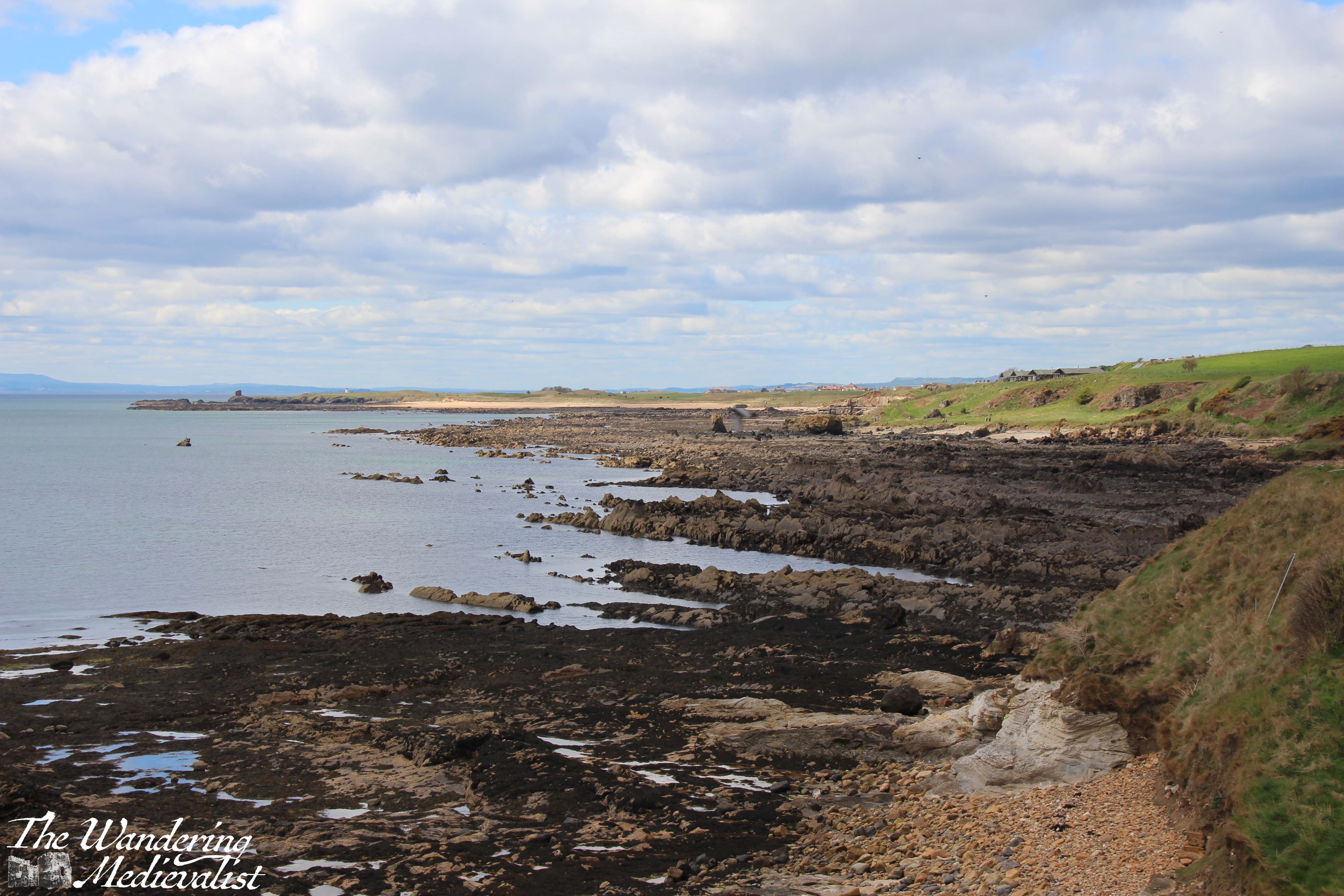
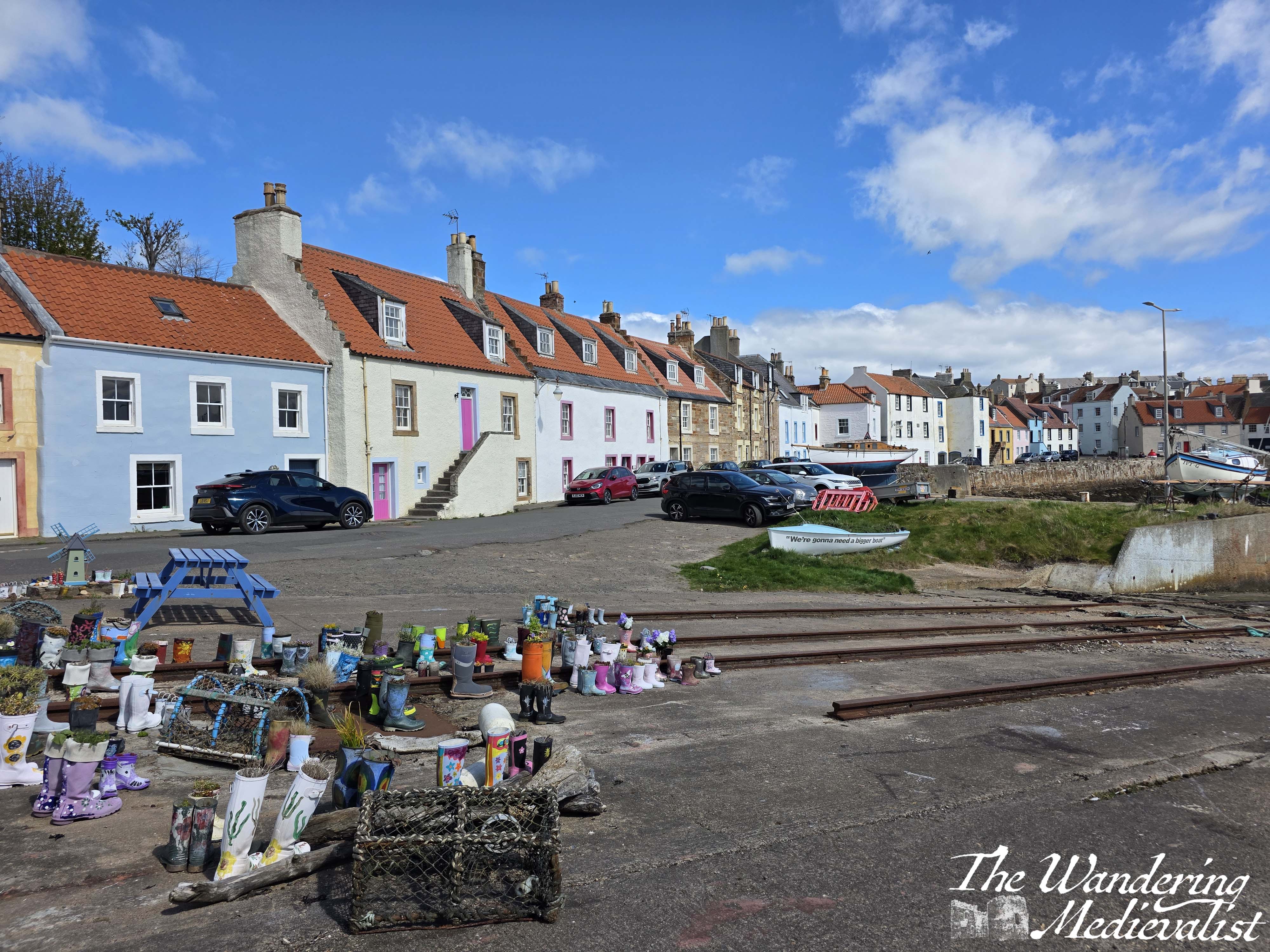
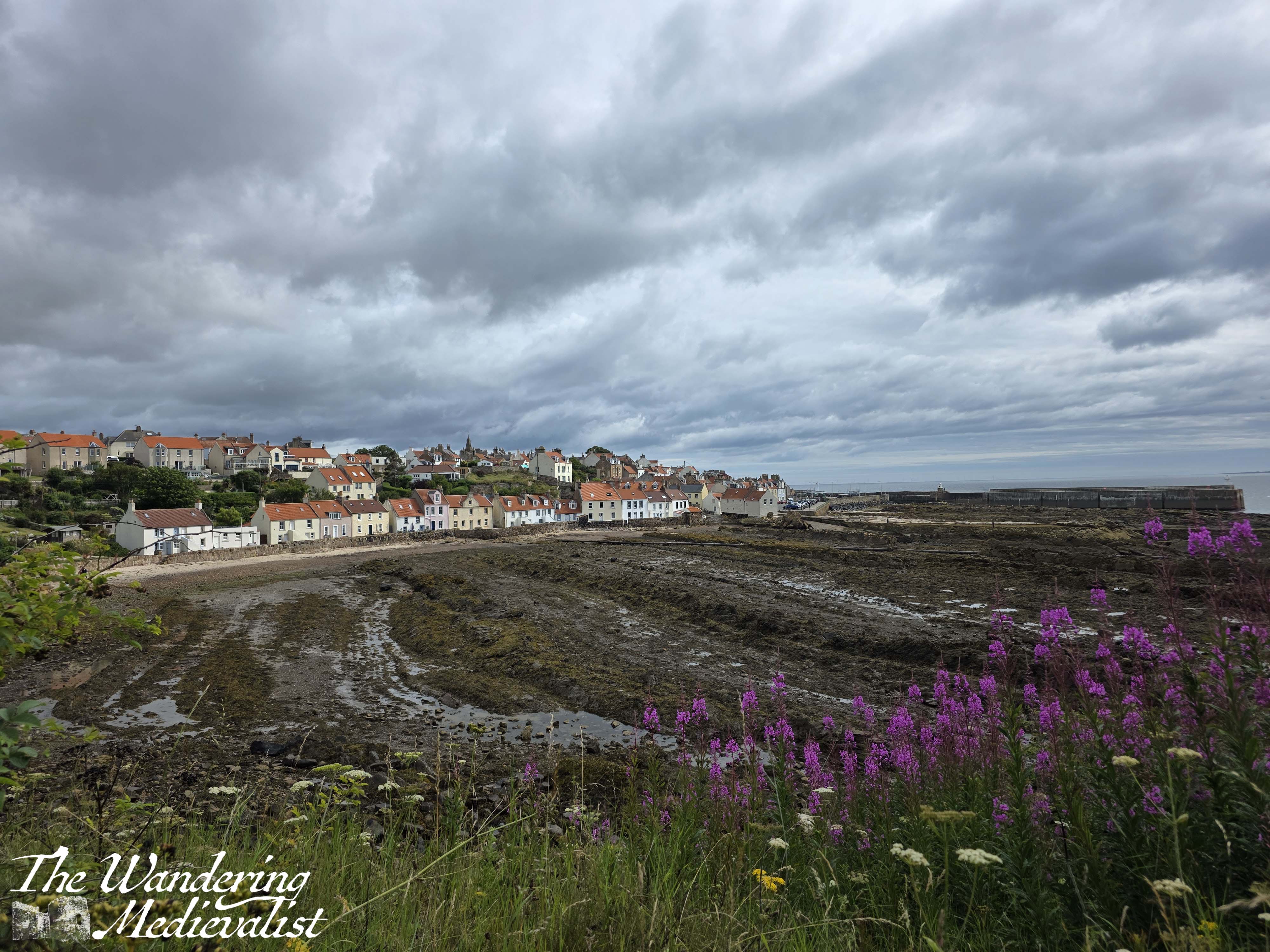
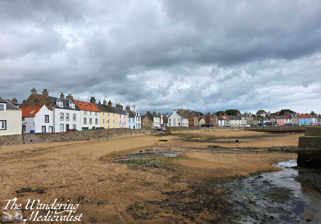
Around the corner from this beach, Anstruther opens up ahead of you, and it is possible to get a real feel for the size of the town. While not enormous – the population is about 3,500 – it is the largest town in the East Neuk with a seafront that stretches for more than a mile, including its busy harbour and beaches.
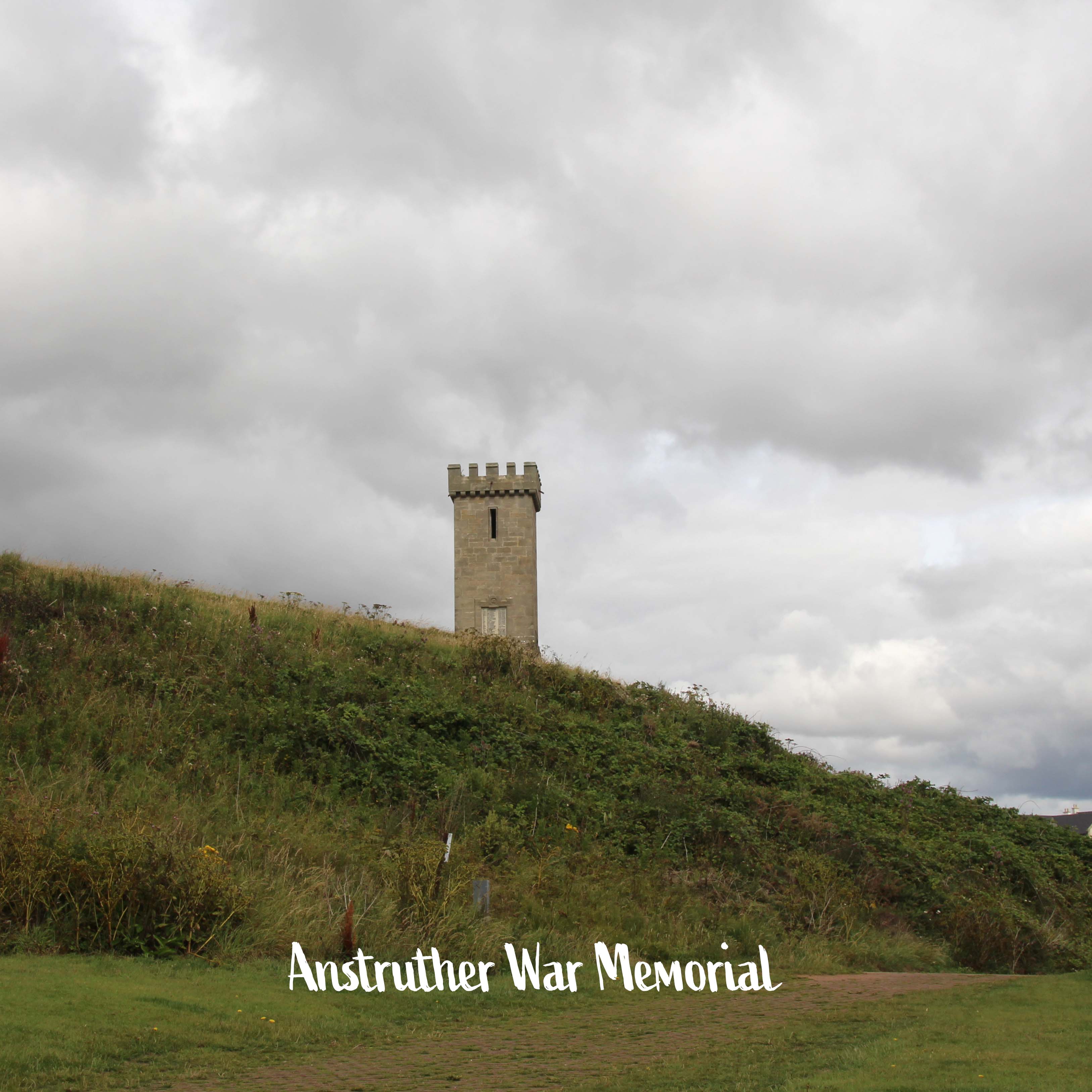
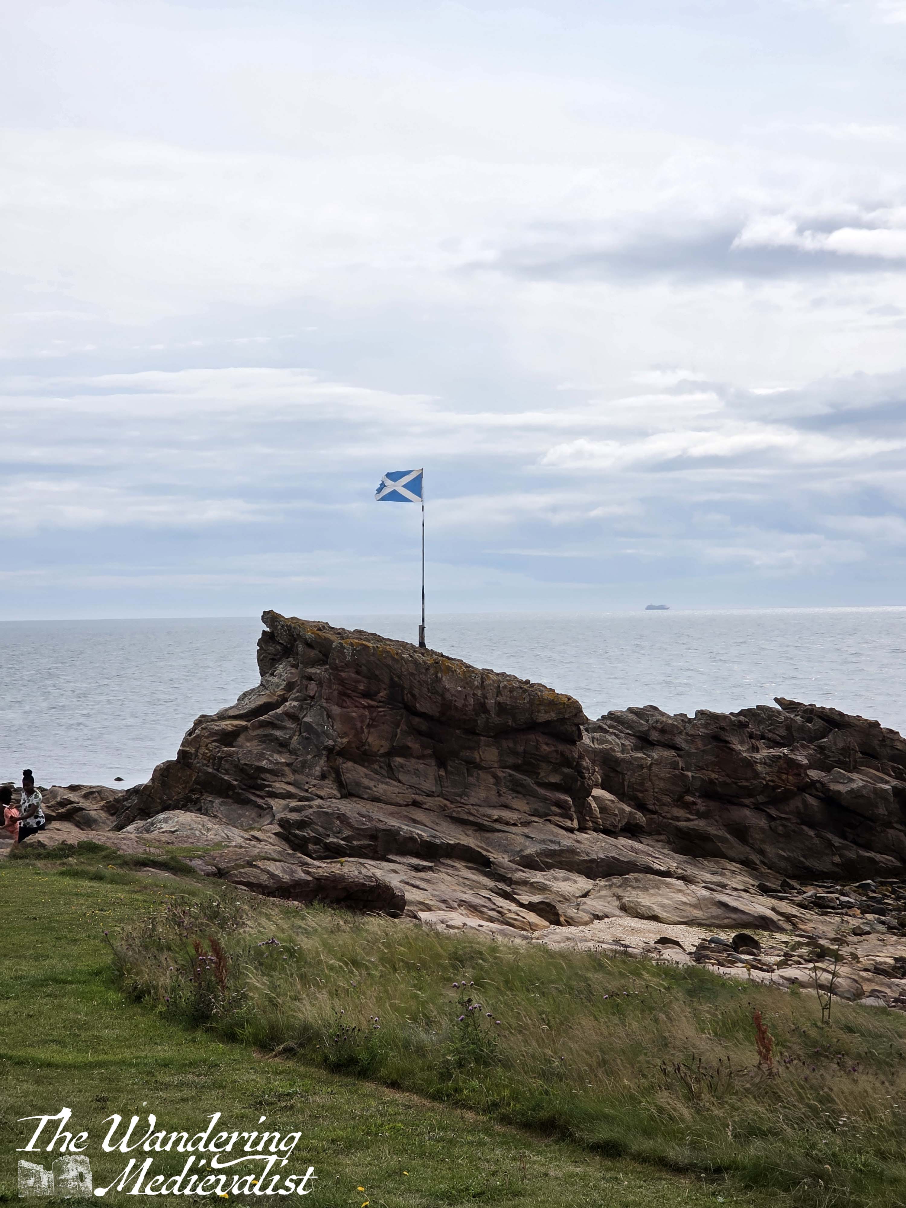
Above you on the left is the Anstruther war memorial, designed as a medieval-looking tower with crenellations on top, and over to the right on a rock is a lone saltire flag, quite dramatic against the sea.
There is a playpark here which was busier with dog walkers than children on the day I passed, then the path circles around between Anstruther beach and the first hole of the golf course.

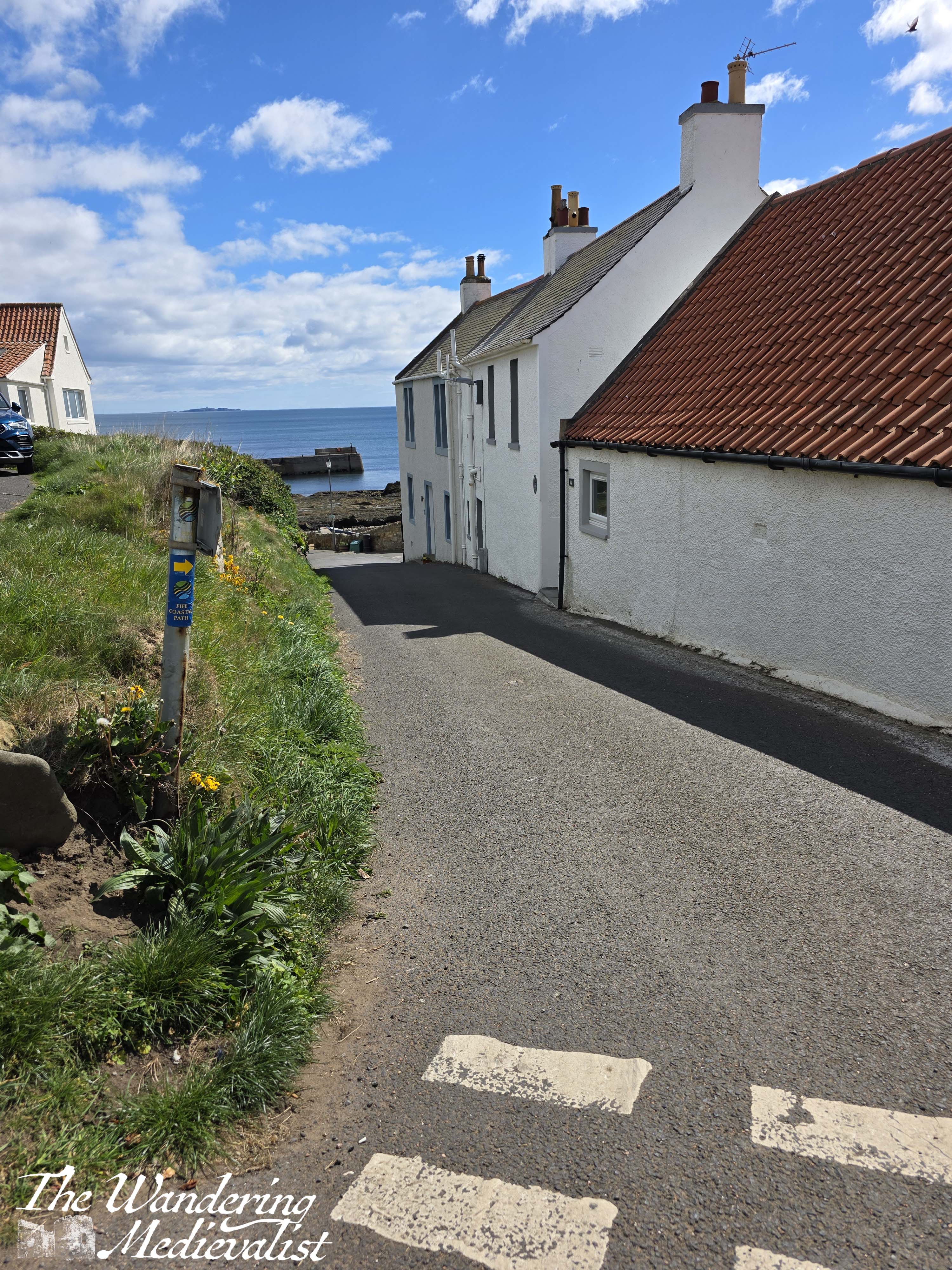
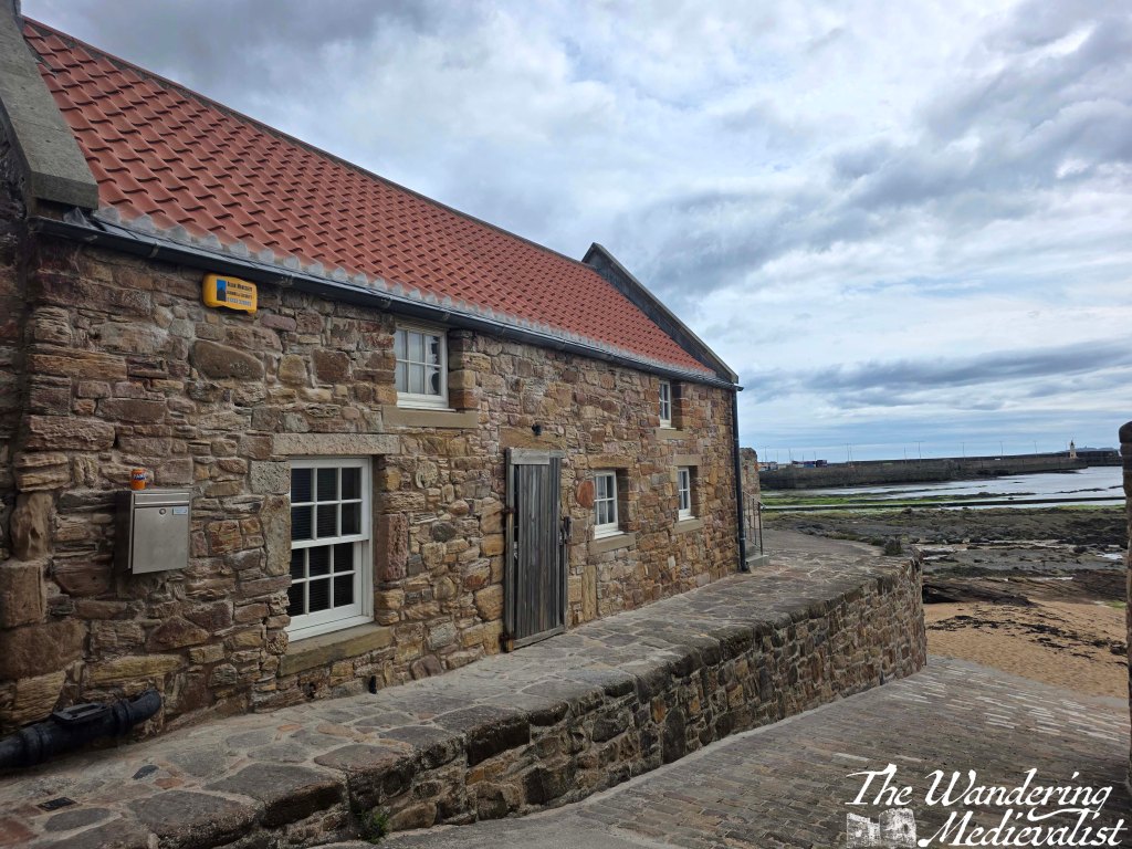
Beyond the beach, you pass the golf club itself, which must have a stunning view over the ocean and Anstruther harbour. The coastal path continues straight here into the residential neighbourhood and is well-marked, taking walkers up Crichton Street. If you take a short detour at this point though, you reach this lovely wee cottage and view over the sea – I can’t resist a stone cottage!
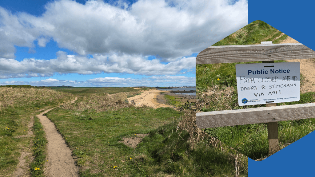
At the top of Crichton Street, turn right onto the A917, which is the main route along this part of the East Neuk, running from St Andrews down towards Elie. Though it is narrow, this portion of the road is quite busy with cars and busses and trucks, sometimes going a touch faster than would be wise.
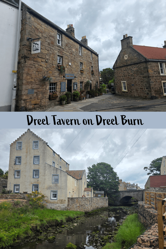
One of the first notable buildings is the Dreel Tavern, which sits at an angle away from the road. Dating from the 18th century at the latest, the Tavern currently serves meals and drinks, both inside and in the large beer garden to the rear. Also to the rear is the Dreel Burn, along which you can walk in both directions, though it shortly winds around the churchyard and across the beach to join the ocean. There is a great deal of work being done at the moment to restore the water quality of the burn.
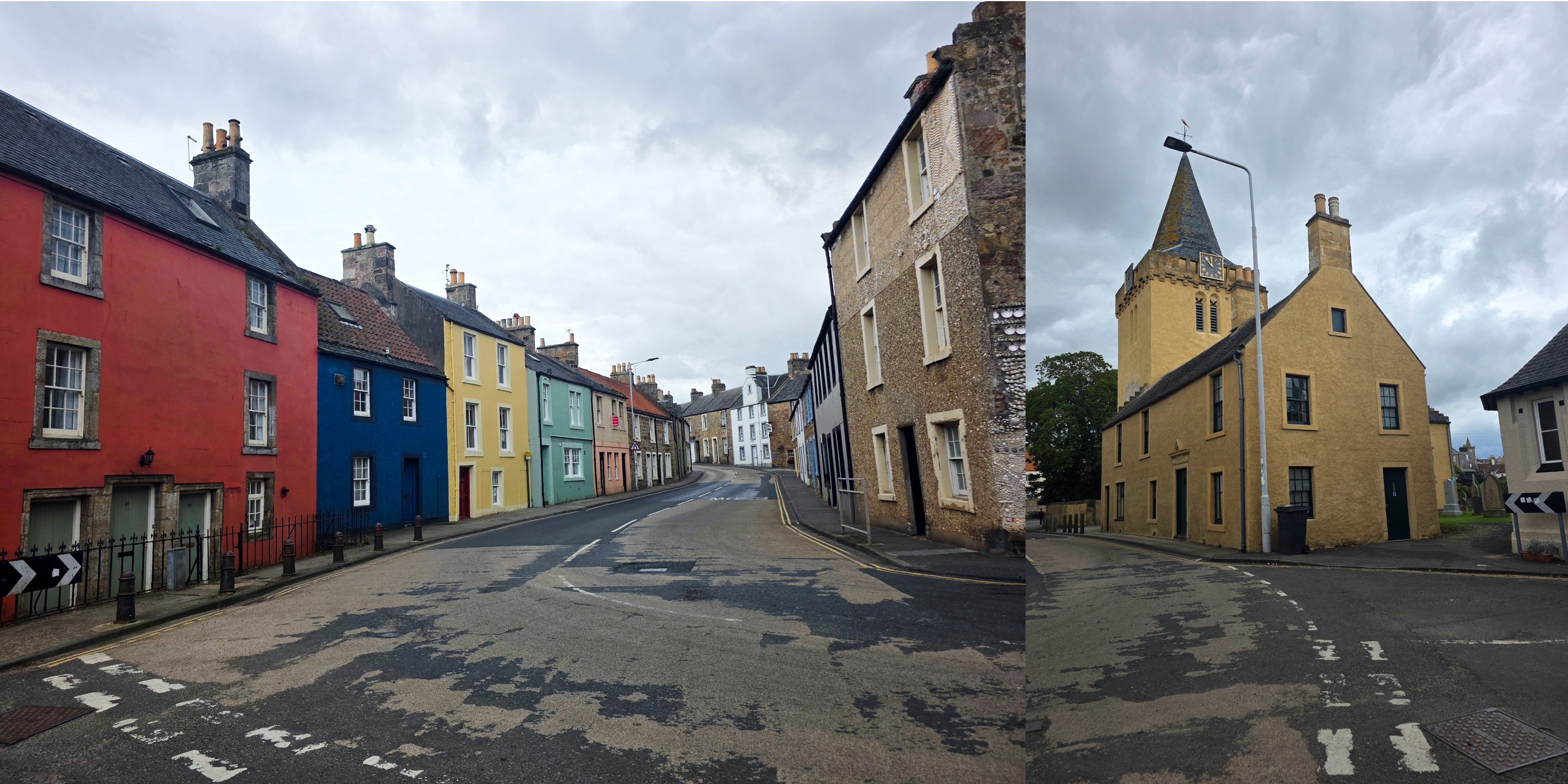
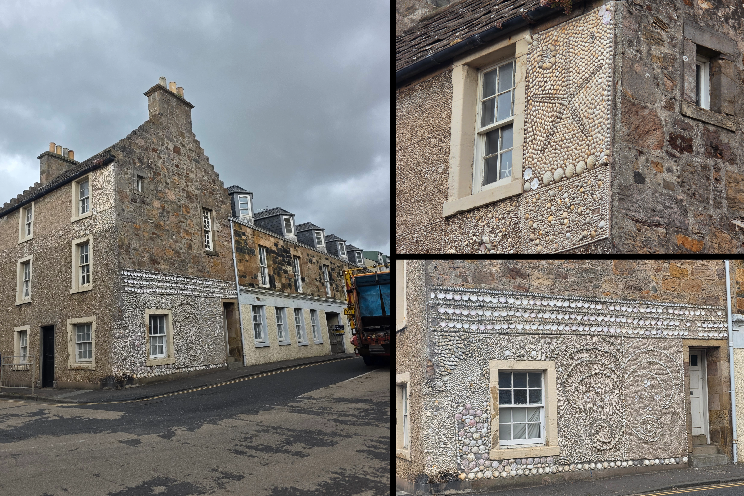
Beyond the tavern on the opposite side of the road, there is a lovely stretch of well-restored older homes in bright colours, and on the corner a house that has been meticulously decorated with shells.
From here, you have two routes. One is the official Coastal Path route, which carries on along the High Street, crossing the burn, and then following the road into the centre of town. Keep to the right, passing in front of the Bank Hotel, and then turn right to meet Shore Street. There are bus shelters on either side of the road, but be careful when choosing a side. Busses to St Andrews, for example, leave from both sides depending on the route, so make sure you check the time tables! While several routes pass this way, frustratingly they tend to arrive around the same time, so you may be left without transport for a while. Fortunately, there are plenty of shops and cafes in which to pick up snacks. And of course the famous Anstruther Fish Bar.
There is another option however, and this is not to turn left along the High Street, but instead to continue straight down the Esplanade, to where there is a car park. If you choose this route, do take a short moment to detour back to the Dreel Halls, which is the tall yellow building you cannot miss. Formerly a church, the upper part was built to house the Town Hall in the 1790s, while the downstairs was used for a school.
Once you have taken a short wander through the extensive graveyard, return to the Esplanade and head for the car park you can see ahead. The homes here are mostly 18th-century or so, and some are beautifully decorated.
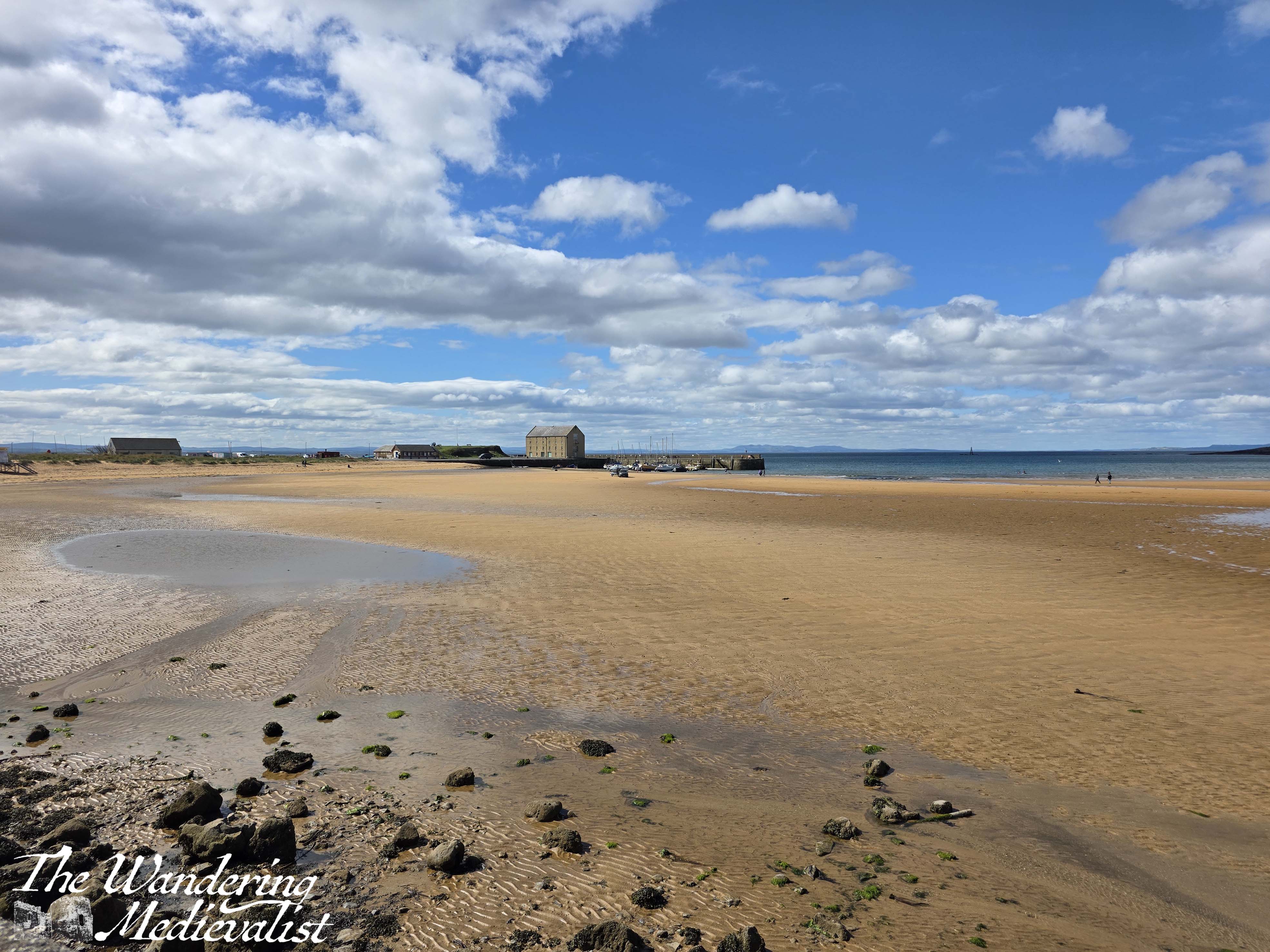
The view from the car park is excellent in all directions.
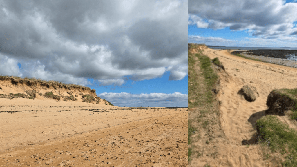
But what is most intriguing – and possibly only accessible at mid- to low tide – is a notch cut in the wall, and a steep flight of stairs leading down to the beach. At the bottom is a set of concrete stepping stones that allows you to cross the water of the Dreel Burn.
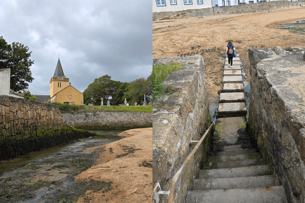
The beach ahead is soft and sandy, and can be a bit of a struggle if you are wearing heavy boots. The view of Anstruther in the gathering clouds was stunning, though, and I was pleased to have opted for this route.
As I headed for the bus shelter, these dark clouds became more and more ominous, and I was lucky I think not to be soaked. Fortunately, the breeze of the day continued in my favour, pushing the clouds past, and an almost blue sky returned as I waited for the bus.
Next weekend, I’m aiming to wrap up the East Neuk with the Crail to Cambo route. We’ll see how I do!