
Hunglader is one of those place names that erases any question that the Norse settled in Skye. It was our home for most of the week, and our final morning dawned bright and blue as we packed up and tidied up the Homer. Before finally leaving the north, we ventured down to the local beach, passing on the way some picturesque old Skye-style houses with white walls and thatched roofs.
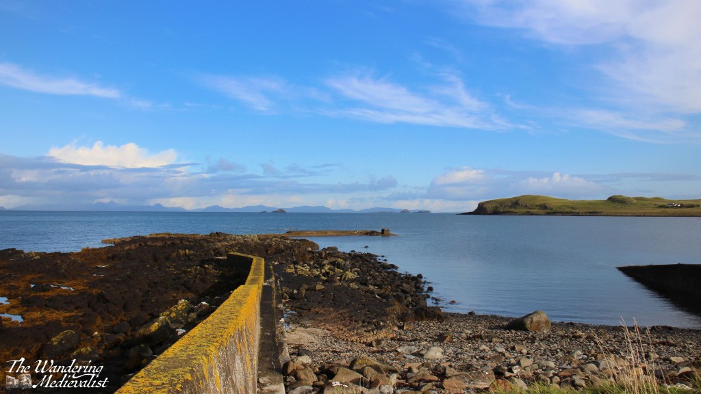
The beach area offered a decent-sized parking area where two couples in a camper van were just finishing their morning fire. The cliffs towered over the beach and sheltered it somewhat, though the wind was not nearly as strong as we had experienced the day before.
On the way out of town we had one more stop at a ruined church, then we headed south. I was quite keen to make sure we filled up on petrol before leaving Skye, and recalled a number of long queues, so we ended up stopping in Portree and topping up before our final Skye-specific stop, the Sligachan Old Bridge. It was one of several stopping points I had noted on the way north, and it is a gorgeous spot with stunning views up the glen. But it was also midge-infested, so we walked quickly and not as far as I might have hoped.
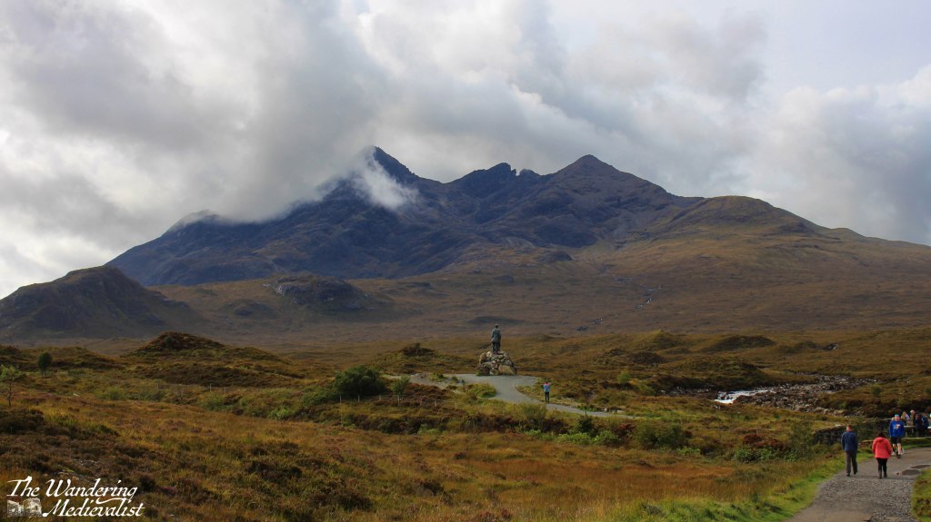
It is definitely a place to return, with paths heading up towards the Cuillin Mountains. The statue, I should mention, is not some distant historical figure like Bonnie Prince Charlie, but is perhaps more poignantly dedicated to two men who pioneered mountain-climbing on Skye, Norman Collie and John MacKenzie.
Sligachan was our last stop in Skye, and it was a relief to find the wind had stayed calm as we continued over the bridge and back to the mainland. By this view of Loch Duich it was so still that the waters were almost literally glass-like.

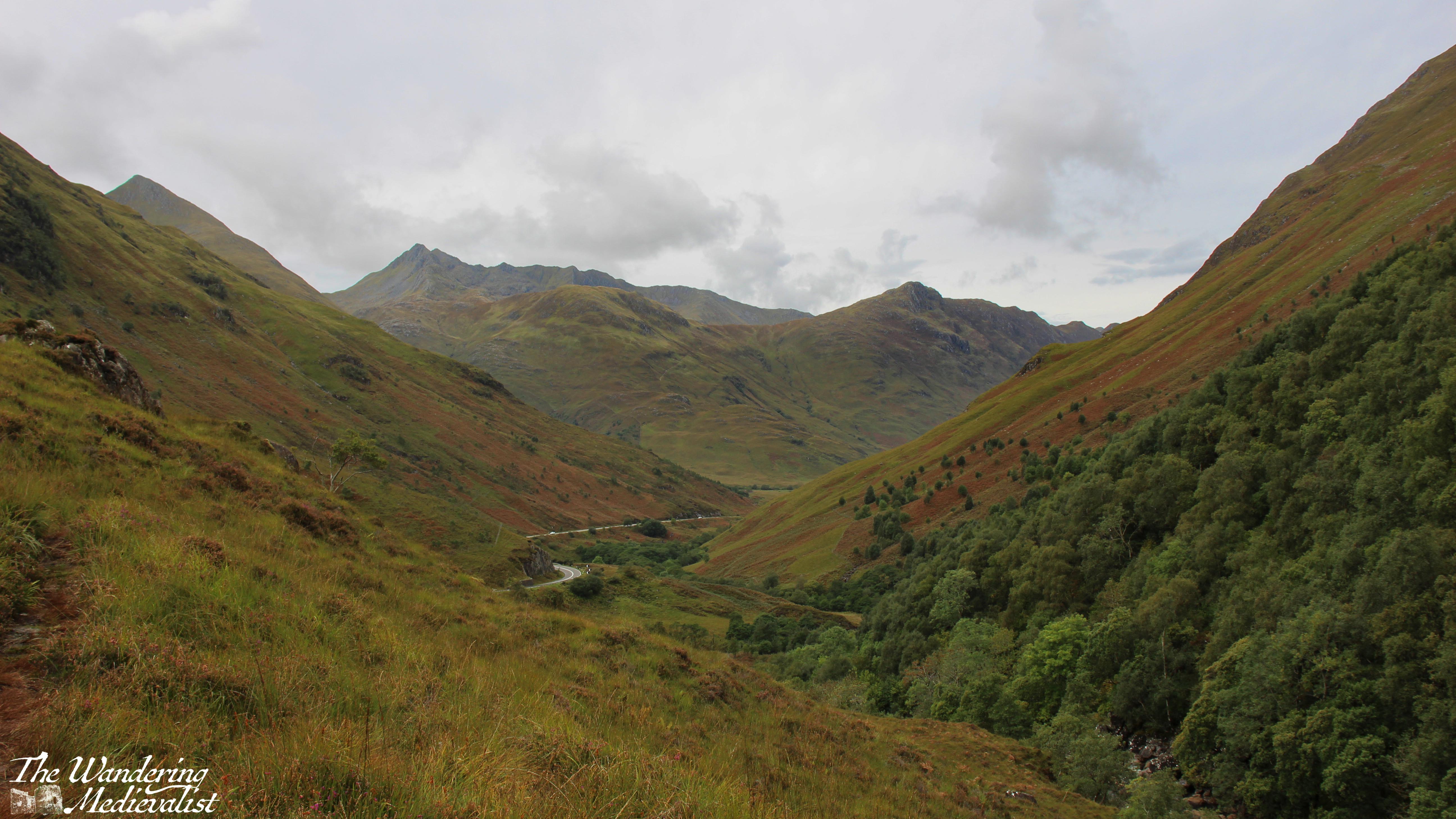
The clouds were drifting in as we pushed south into the mountains, following the road between Loch Duich and Loch Cluanie. I had made a careful note to explore Glen Shiel, where a stone bridge marks the point of a battle in 1719 between the Jacobites and Spanish on one side, and the English and Dutch on the other, evidence of religious and political divides across Europe in the early 18th century. Standing on the modern road, it was possible to track the historic route that armies would have needed to take, and the sharp angle of the hills makes it clear why this might be a treacherous battle spot. While most of the Jacobite commanders escaped, the battle is considered an English victory.
With our many pauses, the day was ticking on, and I think we all had enough of views and pictures and were ready to get to Fort William, still a fair distance away. We considered stopping at the Commando Memorial but there was little appetite amongst the passengers, while I was getting tired of winding roads.
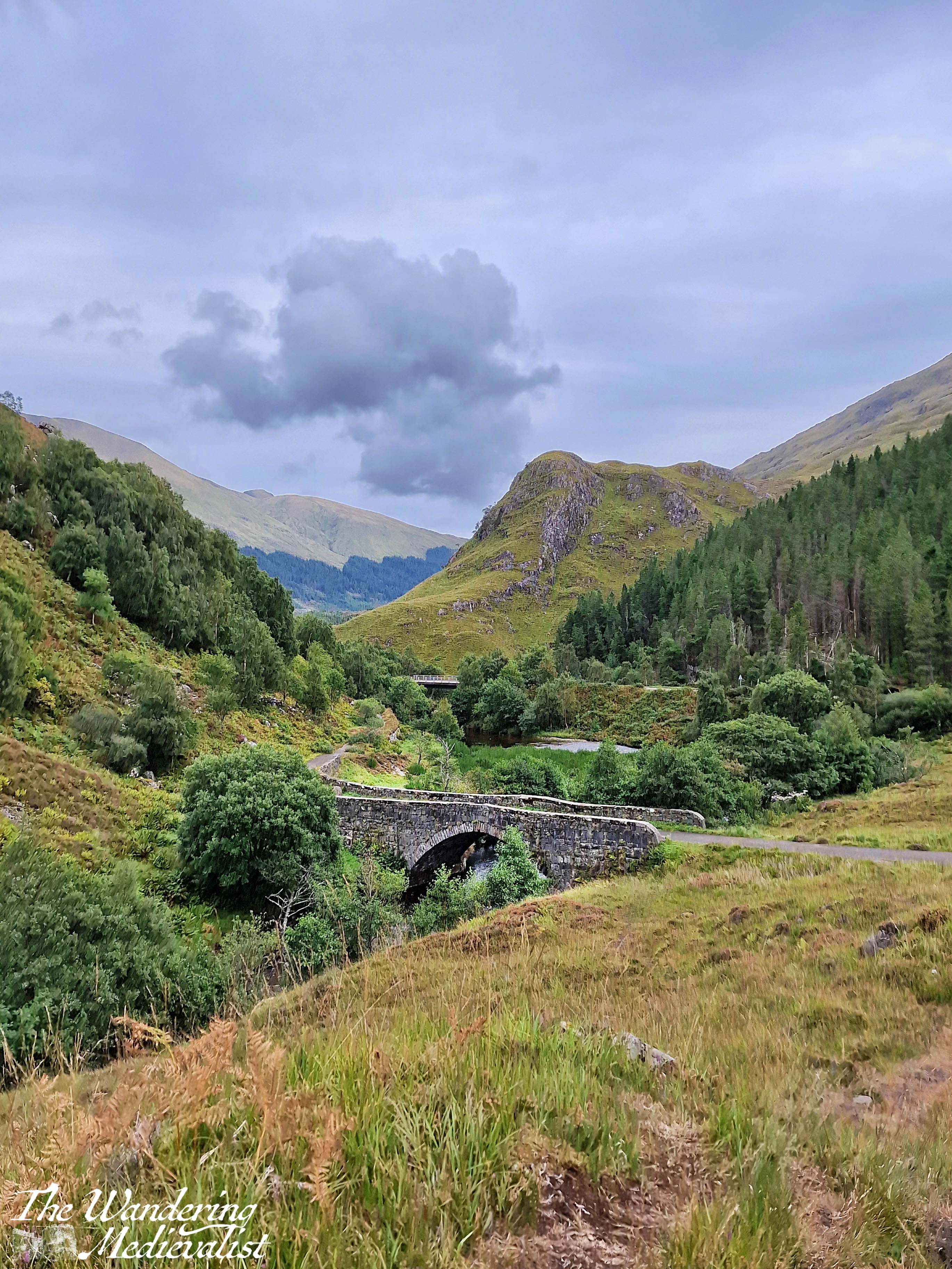
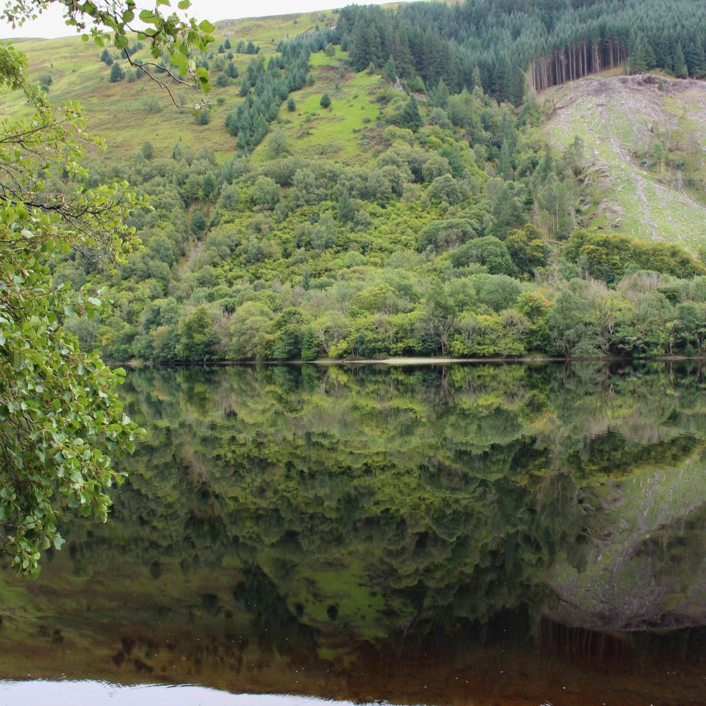
This was taken on the banks of Loch Oich, right before the locks of the Caledonian Canal, and I love how perfect the reflection is. It was our final break to stretch before making the last push.
The hotel we stayed at in Fort William, while clearly designed for coach parties, offered surprisingly good food and local beer – have determined that we must stop at the Glen Spean Brewing Company the next time we are up. We all headed to bed early, contemplative of the end of our time on Skye and what the following day would bring as we drove across Rannoch Moor and home.
