Autumn travel season is met with an equal combination of trepidation and excitement by most recruiters. My feelings tended toward excitement for while I was not looking forward to 11 hours on a plane, I was very much looking forward to returning to San Francisco, a city I had really enjoyed last year. It has a winning combination of phenomenal views, really unusual architecture, nearby wilderness to explore like Muir Woods, some fantastic schools as well keenly for me, one of my high school best friends. I therefore get to mix work with a bit of pleasure. This trip was no exception, and I was excited to be bringing with me a new member of our team to experience recruitment in the United States for the first time. And we had a fantastic trip taking in plenty of work alongside a bit of fun.
Side note, I’m not sure if during this trip I was incredibly lucky to find some fantastic viewpoints, or if, as my colleague says, I’m just gifted in doing so – either way, I absolutely hit the ball out of the park for a short coastal walk and a parking spot overlooking the Golden Gate Bridge. I was particularly excited that on our day off, we were able to visit Muir Woods on a properly sunny day, with no mist and light shining through the trees in a way that was captivating and stunning. See more below.
Mussel Rock Park
Our first day in the US happened to be Labor Day, a national holiday during which all schools were closed. So, along with picking up our rental car and stopping at Target for some necessities, we made our way to this nearby park with a coastal walk and view. As anyone who has read my previous posts on Laguna Beach and Crystal Cove, I am fond of a California coastal walk.
Mussel rock showed up as not too far, with plenty of parking – and indeed, it was only about 20 minutes from our hotel and Google took us on a winding path through some interesting neighbourhoods to get there. One of the best was the final one, wherein we ended up at the top of a hill with breath-taking views over the coast and residential neighbourhood, reminding me strongly of a similar view in Puerto Rico. The slope was the kind so steep that you would not attempt to build a road on it in a wintry locale, where ice would make it impassable – common in the San Francisco area, where steep hills abound.
After making our way slowly down the hill, we turned right and found ourselves almost immediately at the parking lot. It was certainly busy, yet we arrived at the right time and found a free spot only a few steps from the trail head.
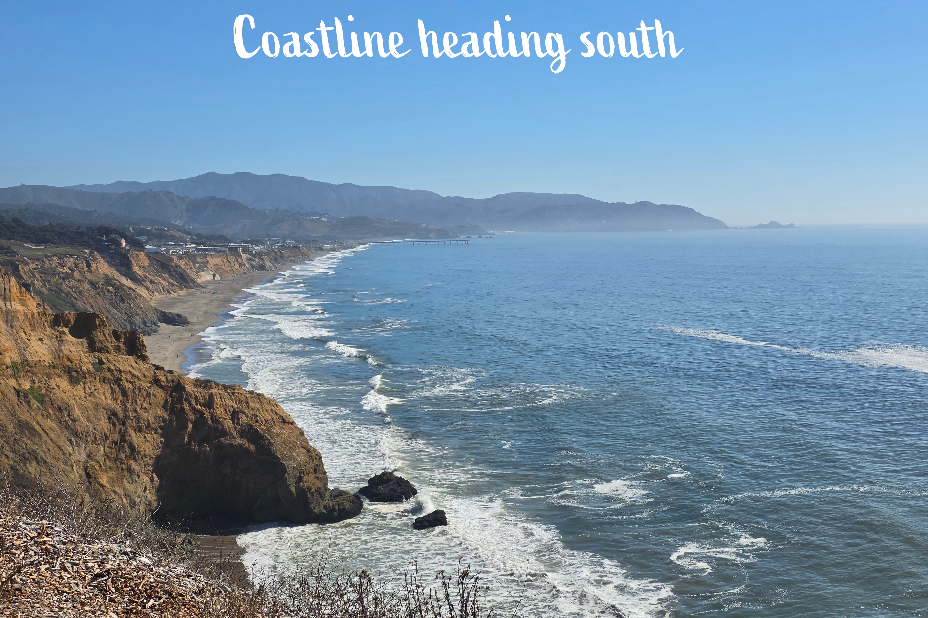
We hadn’t really intended to go on a walk – neither of us was really dressed for it – but the trail kept drawing us forward, enticing with views of the coast up towards the entrance to San Francisco Bay, and back towards Mussel Rock.
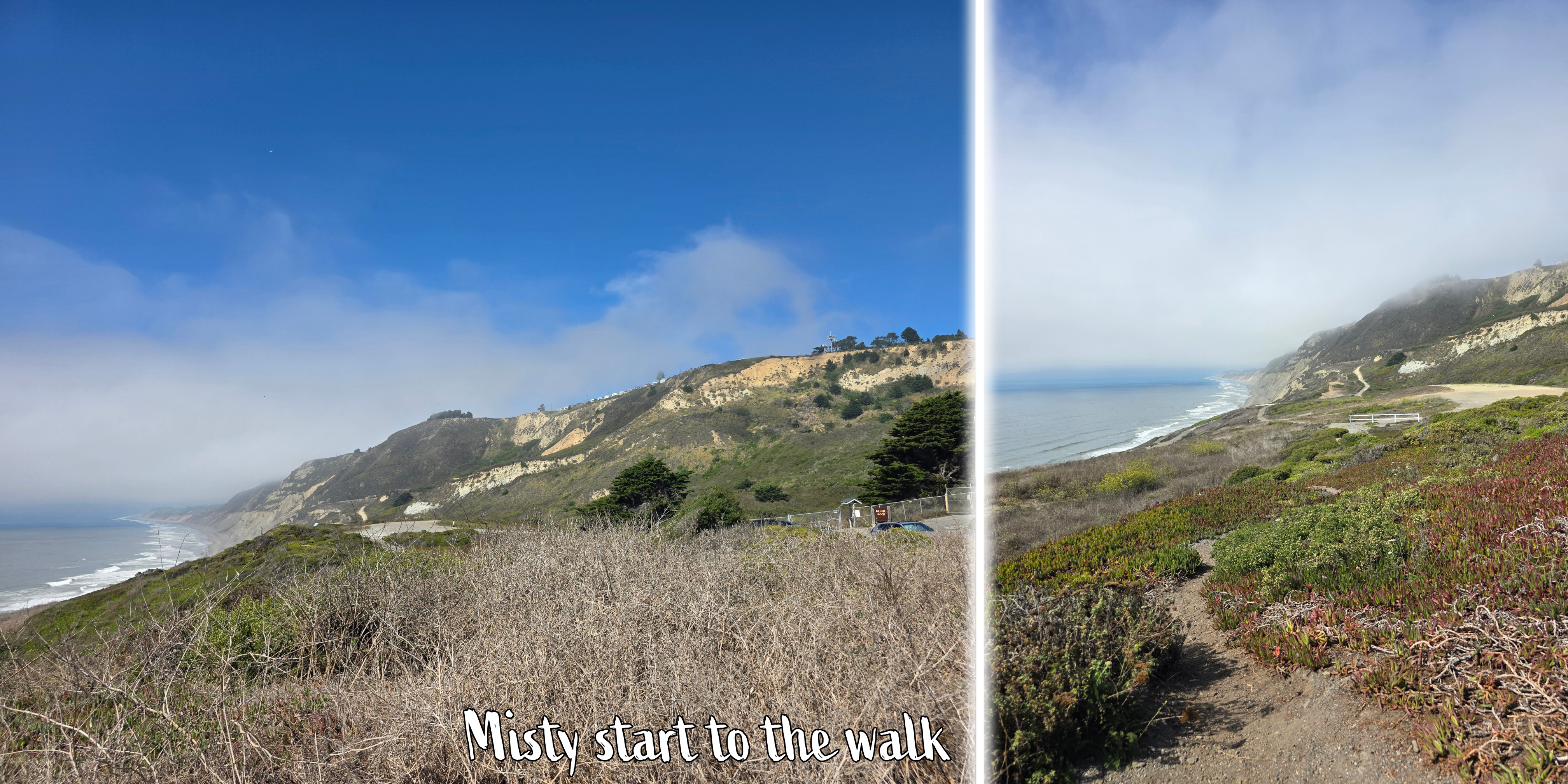
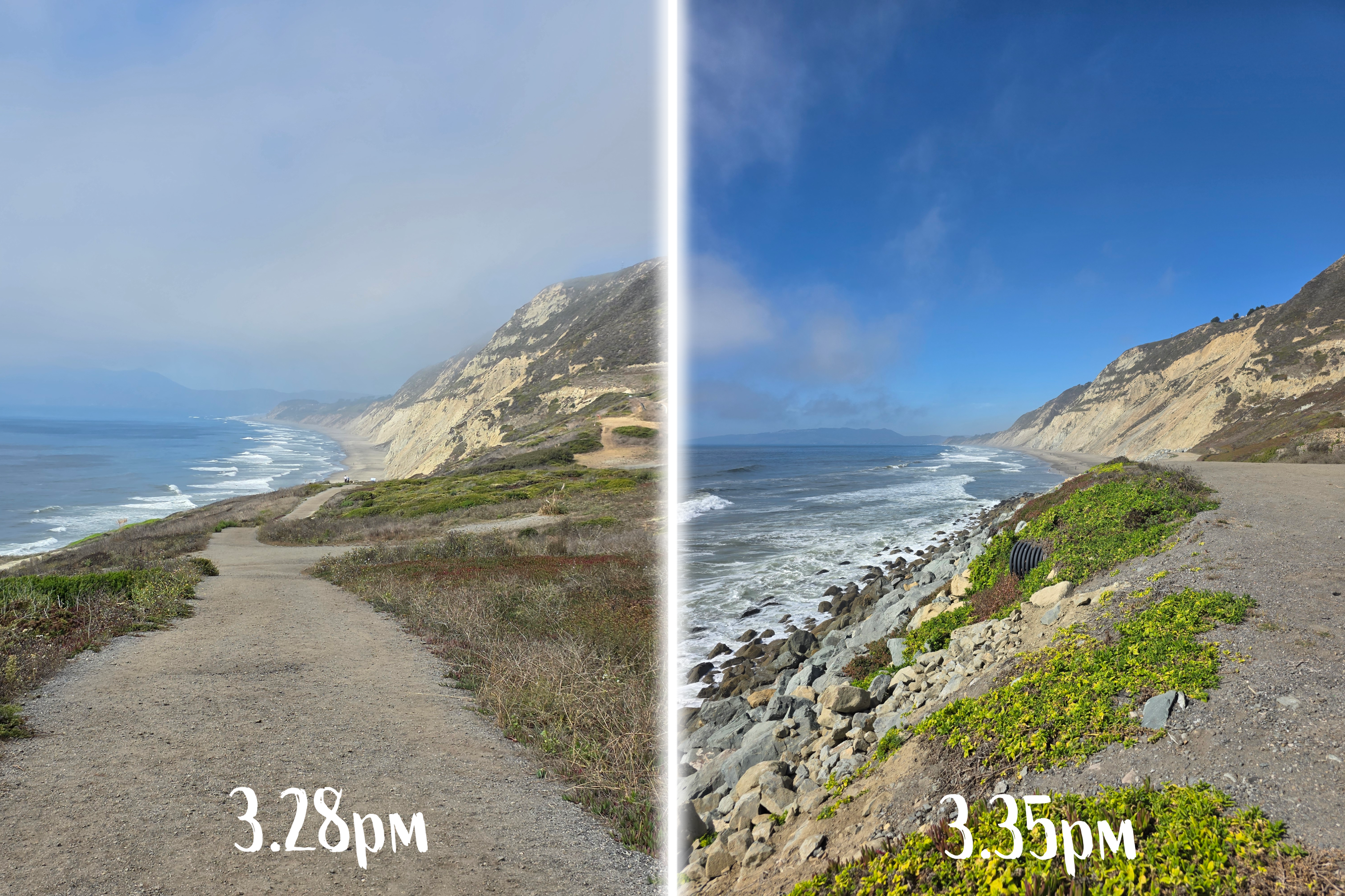
As these pictures show, it was a bright sunny day, with banks of fog that drifted in and out along the coastline throughout the time we walked. I was fascinated by the extreme cliffs, higher even than those in Orange County, and so later I did a bit of reading about the area nearby.
Apparently, the park and land adjacent to Mussel Rock was the closest point to the epicenter of the 1906 San Francisco earthquake, where the two faults in this area meet. Thousands of years ago, the Colma Straight separated this coast from what is now San Francisco, which was then an island. As sea levels fell and deposits filled the straight, the island connected itself to the peninsula. The houses perched along the cliff are indeed at risk of rockslides, but the vistas are almost certainly comparable to the risk.
This region was settled by Native American tribes, but now it is home to hundreds of birds, primarily pelicans, who have turned the rock white with their droppings.
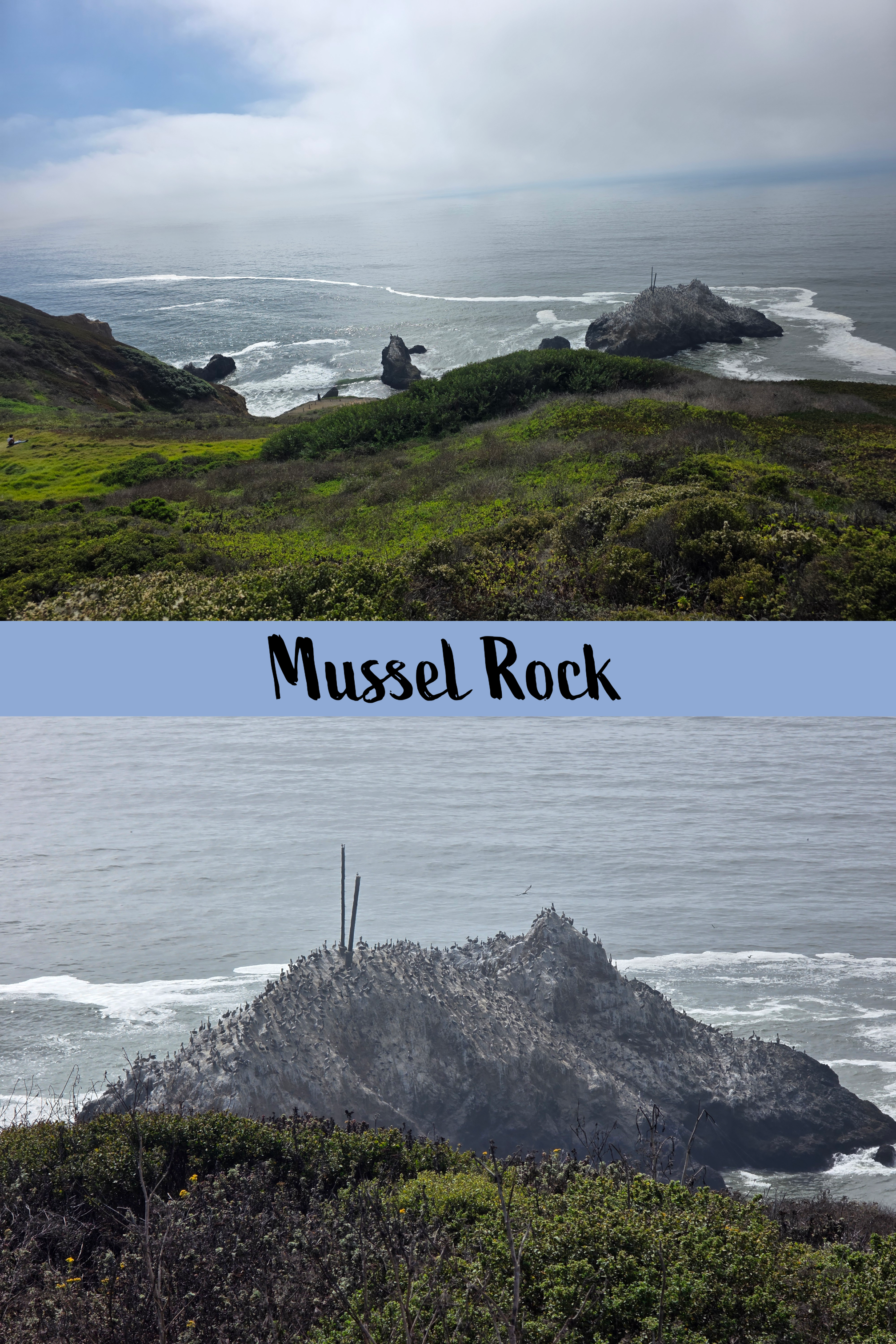
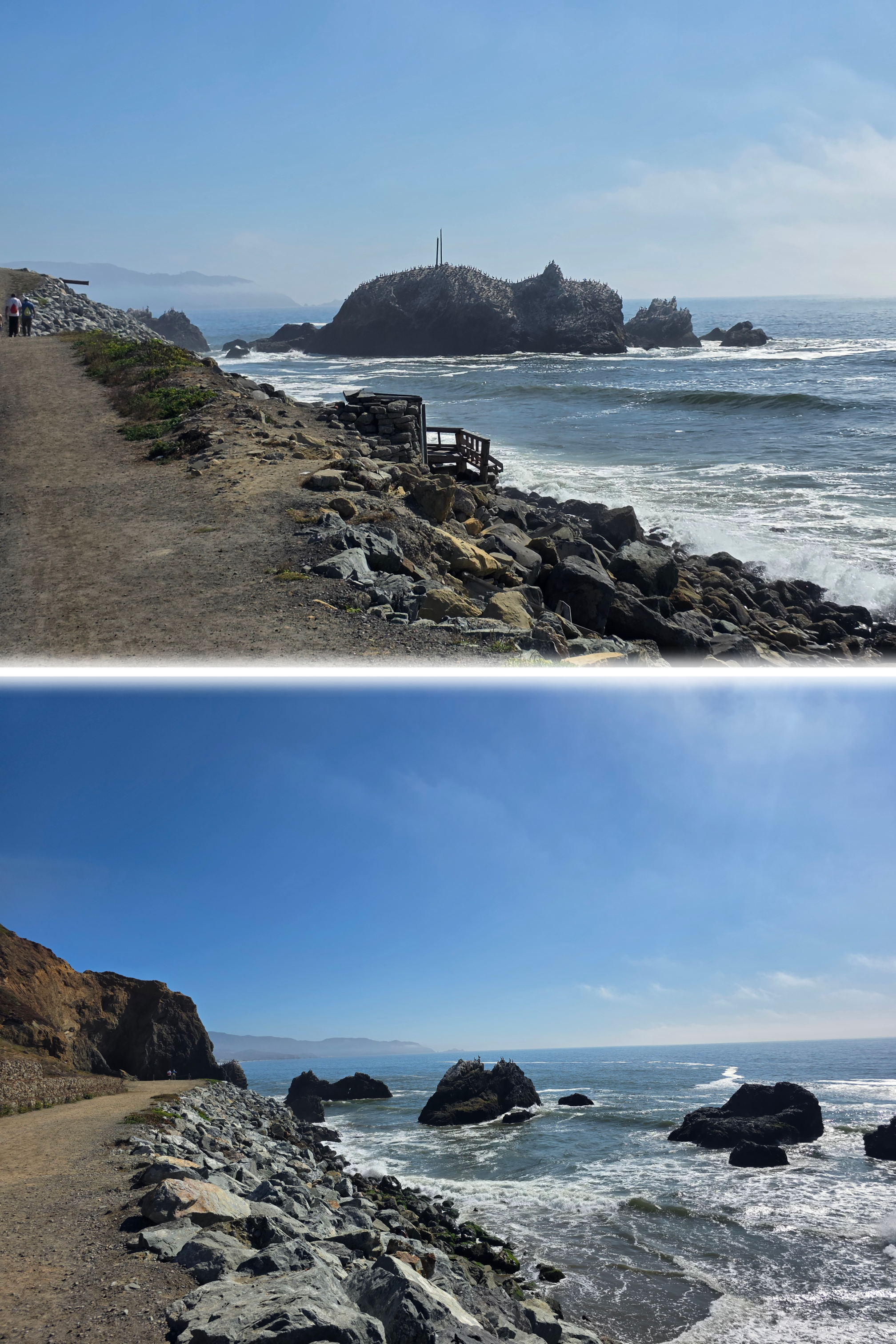
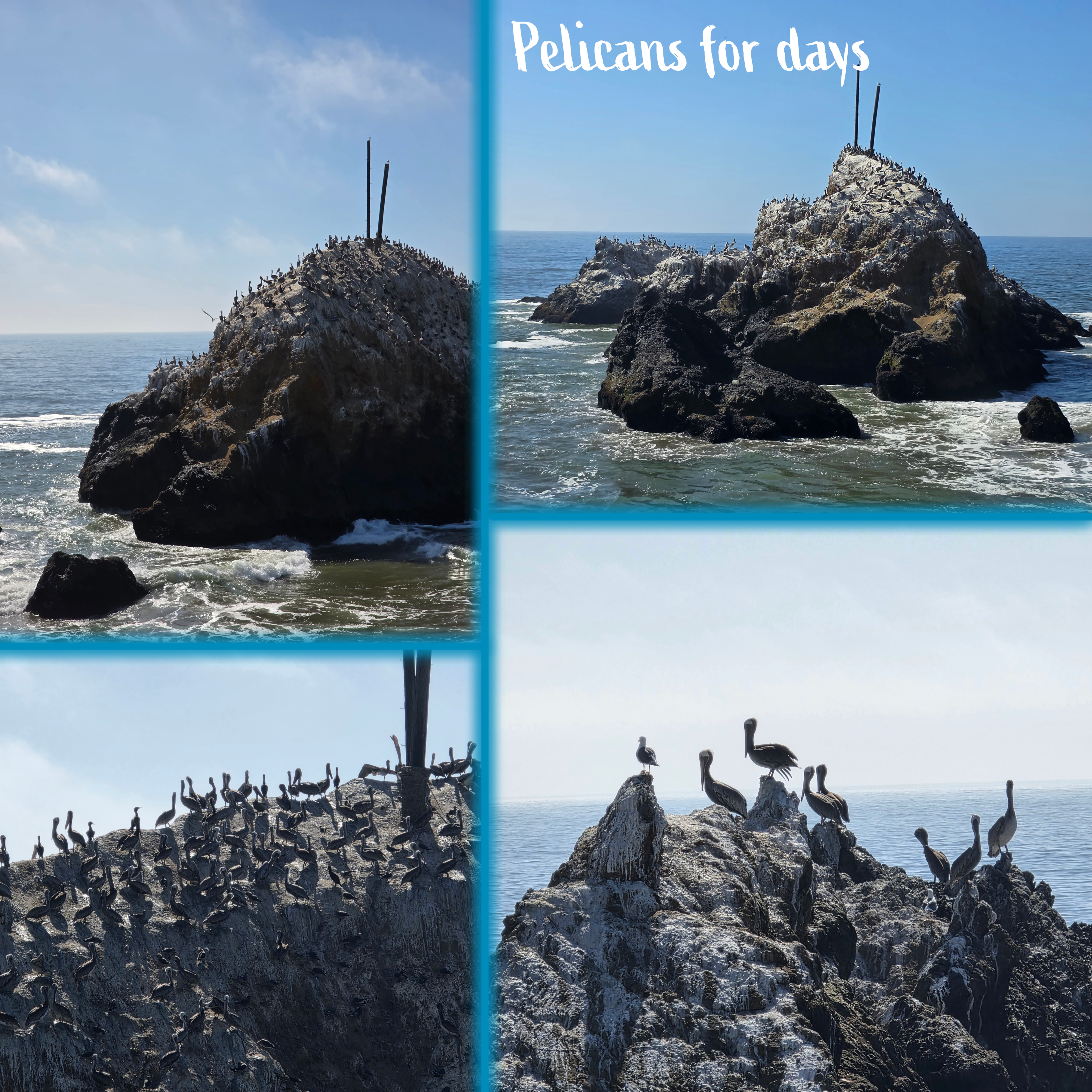
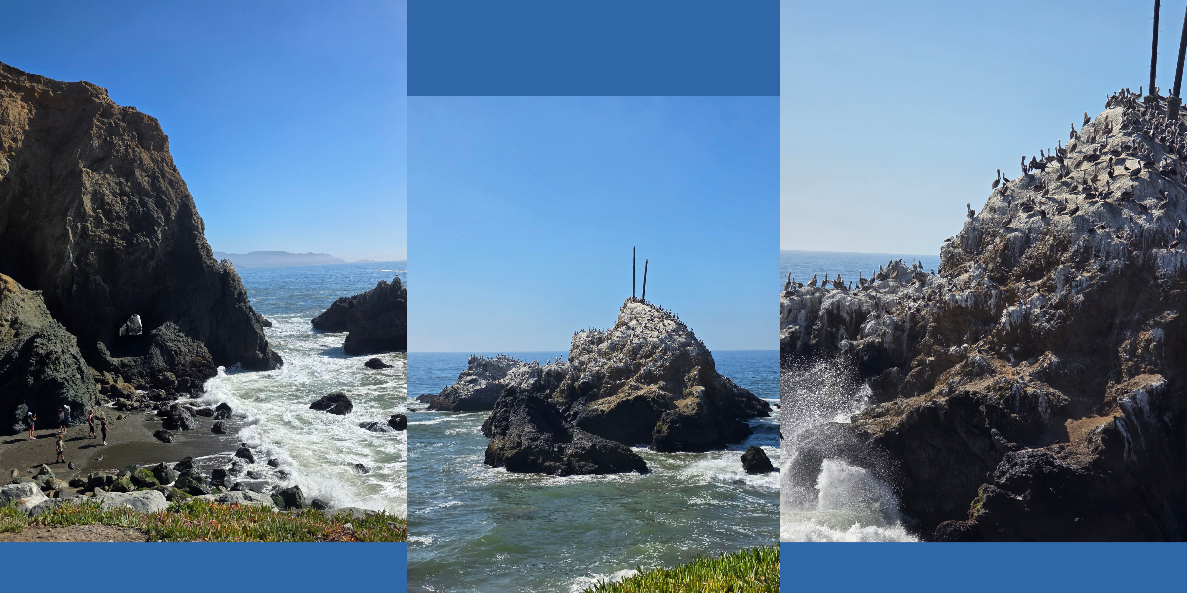
We approached carefully, winding our way down the paths until we reached the coastal level, then heading towards an outcropping of rock straight ahead, with the birds on our right. The paths criss-cross the coastal hill here with both official, well-kept trails and those created by walkers who seemed unafraid to head straight up. While a shorter walk and stairs might have been appreciated, the ground was so dry that any off-trail walking – which I definitely do not condone especially in a wild park – was likely to end in a lot of slipping and sliding.
We followed the path along to the headland, where there is a small beach, then stopped to enjoy the view a bit before climbing back up to the car. Not a bad diversion for a random Monday afternoon.
Working in the city
Taking lovely walks by the coast is a great way to get over jet-lag, but we still had plenty of work to do.
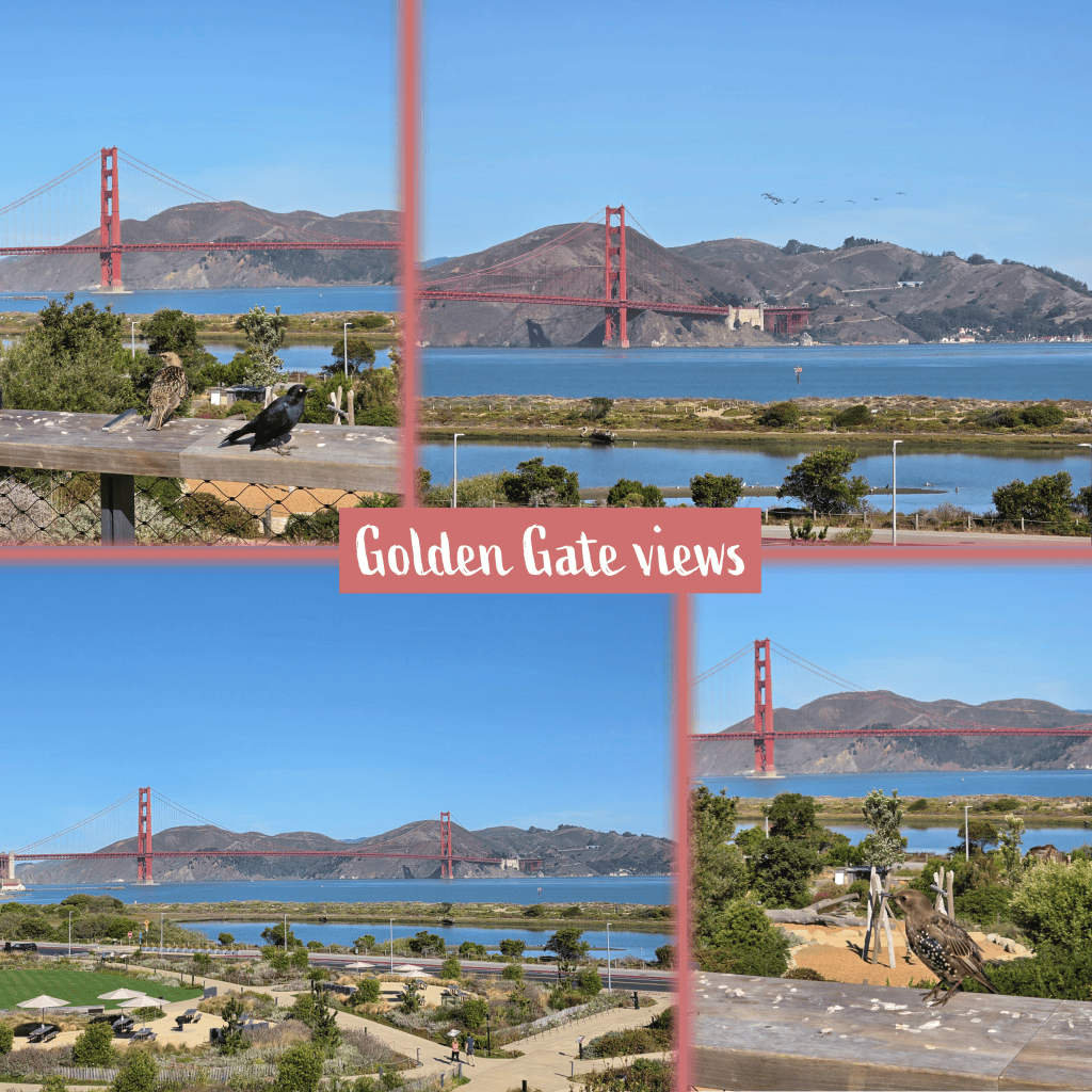
Fortunately, the first school we visited was close to the Presidio park, which of course offers these incredible views over the Golden Gate Bridge. We had just enough time after the visit to take a quick stroll through the park, and met some bird friends along the way. This was, I have to say, a good introduction to San Francisco for my new colleague.
We spent a good portion of our first week in the city moving slowly through freeway traffic or manoeuvring through the busy streets with traffic lights or stop signs at every intersection. Parking is always an issue in the city, and so we took a school’s advice on one day and opted for an Uber rather than an equally expensive parking garage. My insistence upon being early – due mostly to anxiety over city traffic – meant that we arrived at the school with enough time to take a quick peek along the side-road. I had an inkling, looking out the Uber window, that we were relatively high up, and sure enough this view proved that the school was sitting on the edge of a steep hill, with neighbourhoods layered down towards the bay.
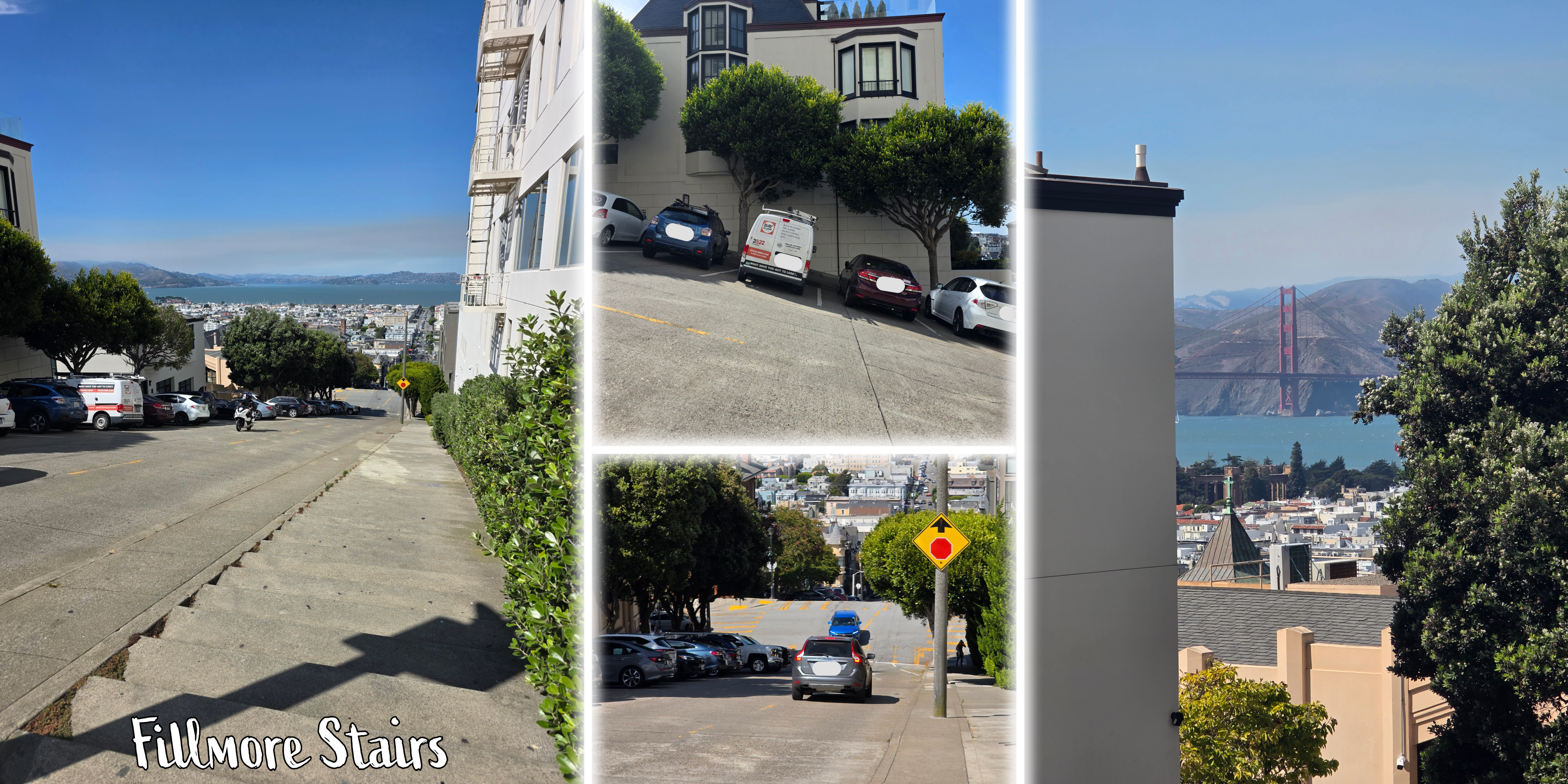

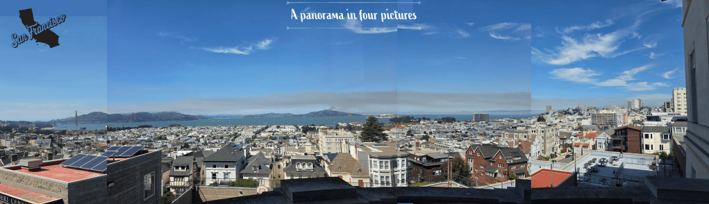
The pictures on the left are of the Fillmore Stairs, built into the sidewalk of a street so steep that I had to capture the cars parked along the other side of the road, at a serious angle. The collage on the right is the school we visited, including a view from inside that is completely unrivalled. I tried to piece together the panorama below.
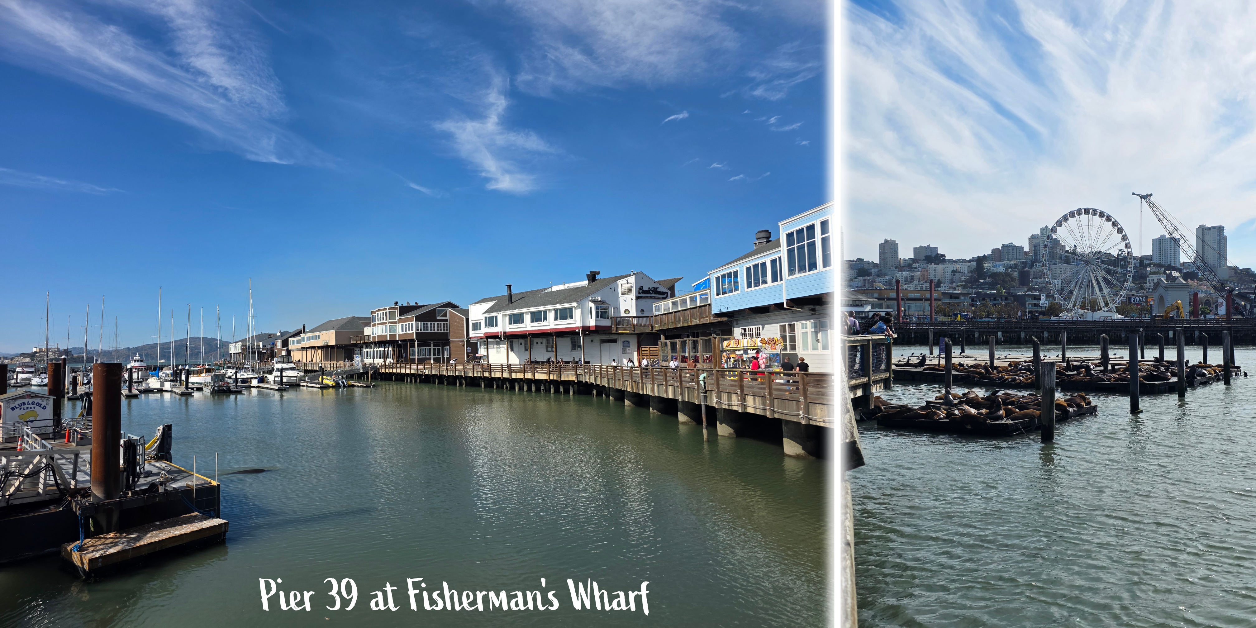
On this particular day we did not have any evening events, and so after our last appointment we decided to take a detour to one of the most popular tourist spots in San Francisco.
Fisherman’s Wharf
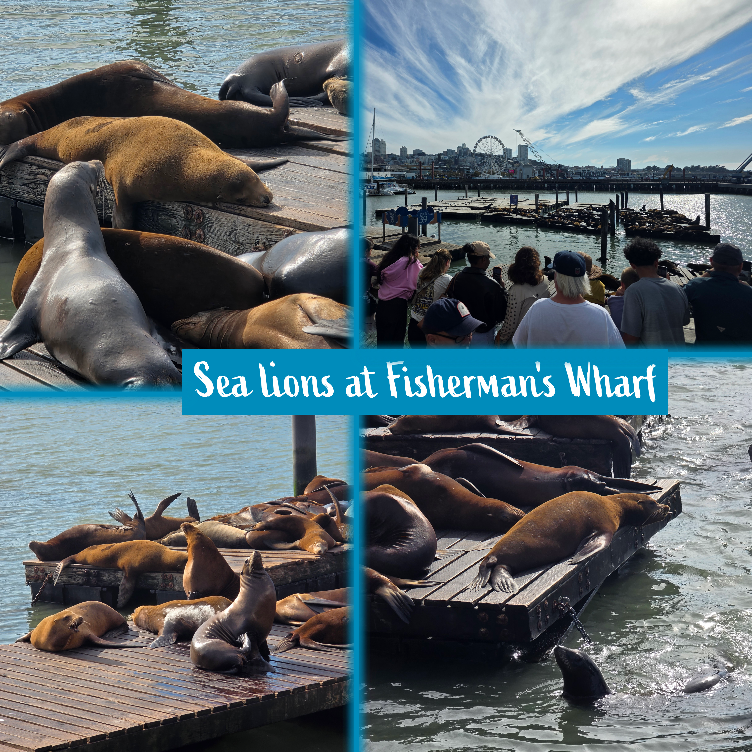
While I had visited the wharf on my last trip, it was a much busier day and it was quite nice to explore late in the afternoon on a week-day, when it was a touch quieter. That said, the viewpoint for the sea lions is always crowded. We were able to spend a few minutes watching and listening before moving on to the end of the pier to enjoy the view out towards Alcatraz.
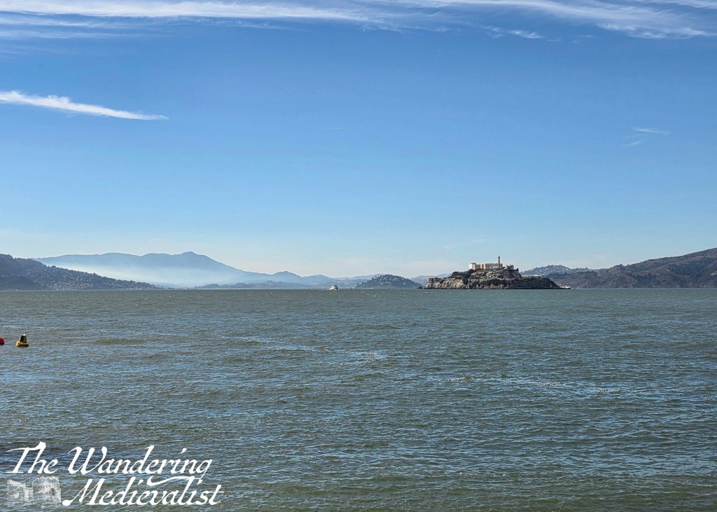
The end of the pier was a pleasant place to be, as the wind that whipped across the Bay alleviated some of the heat; we experienced a mini-heat wave during our visit, with temperatures up into the 90s in Fahrenheit or 30s in Celsius. This was not what we had packed for!
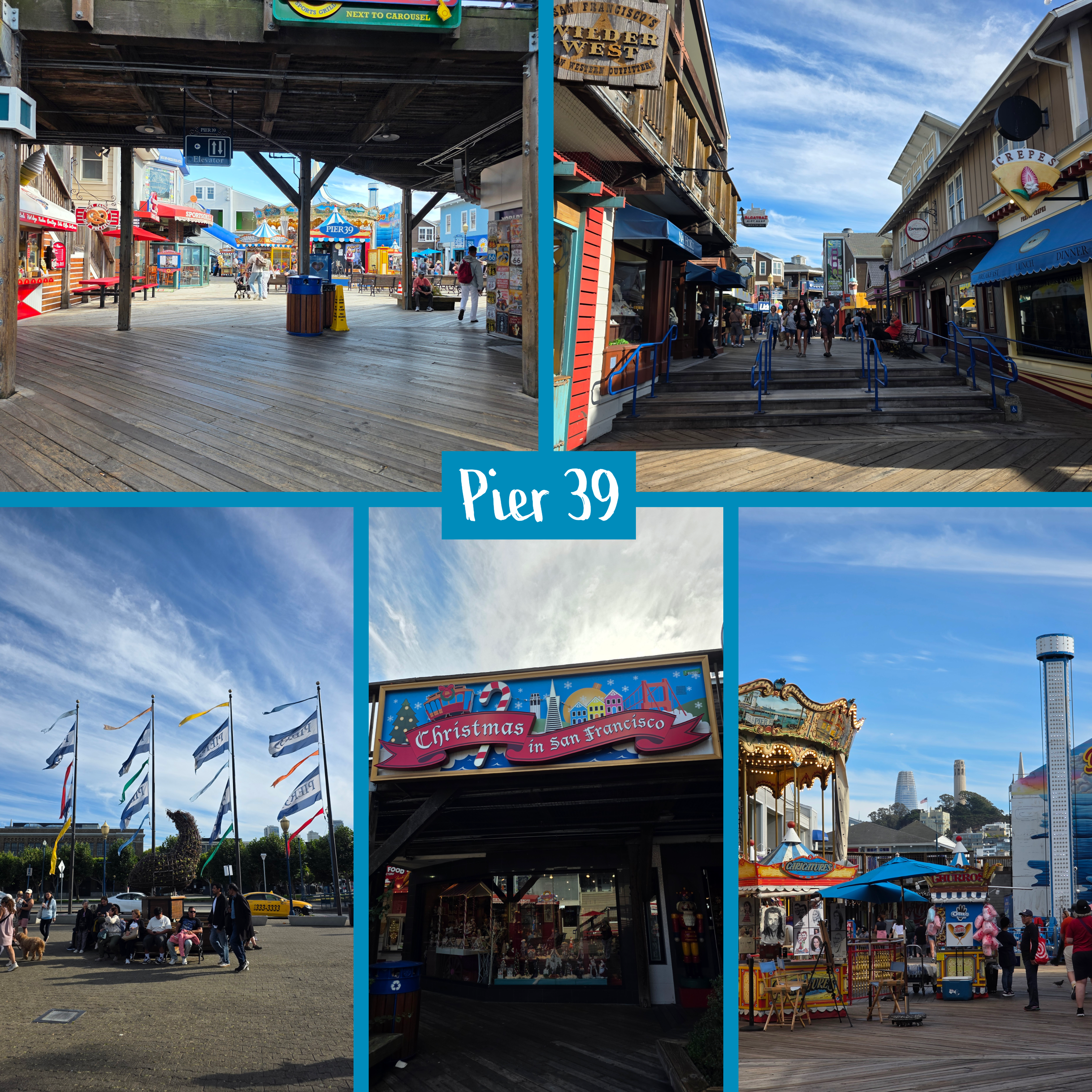
After cooling off in the breeze, we headed back through the shopping area of Pier 39, stopping in a few tourist shops to pick up some souvenirs before making our way back to our hotel. While there is no question that this area is designed for visitors – much like the Royal Mile in Edinburgh – it is still fun to see, with wooden buildings and walkways that give it a pirate grotto feel.
Day visit to Oakland
Later in the week, we expanded our work travel to the far side of the Bay, and ended up on our lunch break in Oakland. Getting out of the car for a bit is key when possible, and so we parked close to Lake Merritt for a short walk.
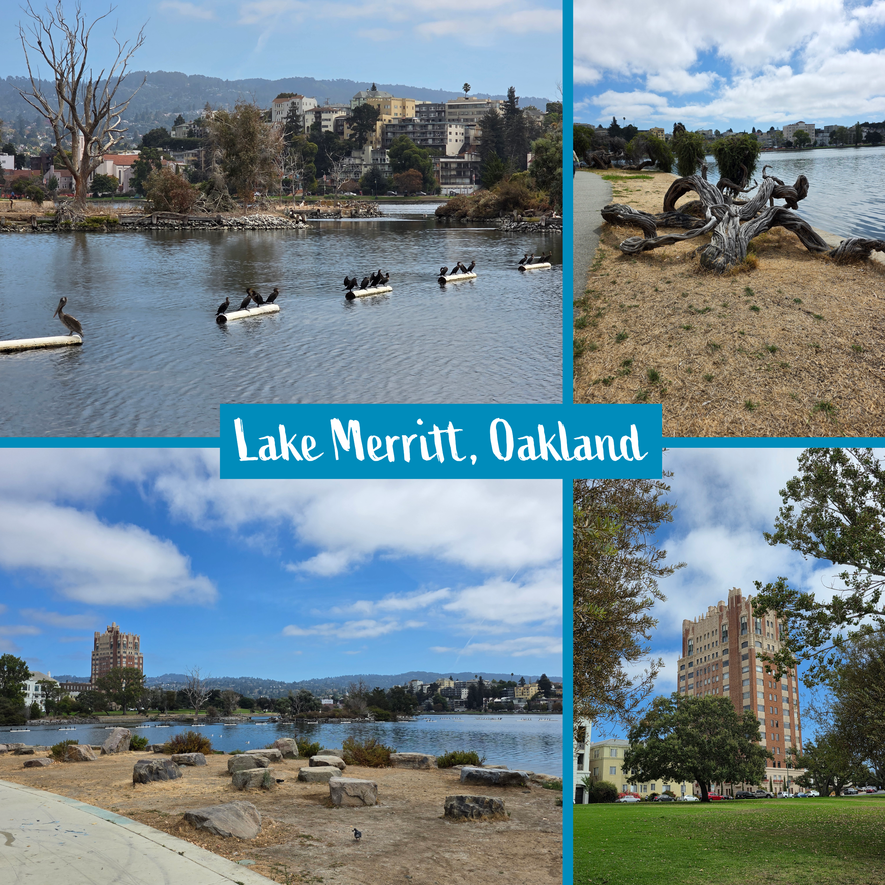
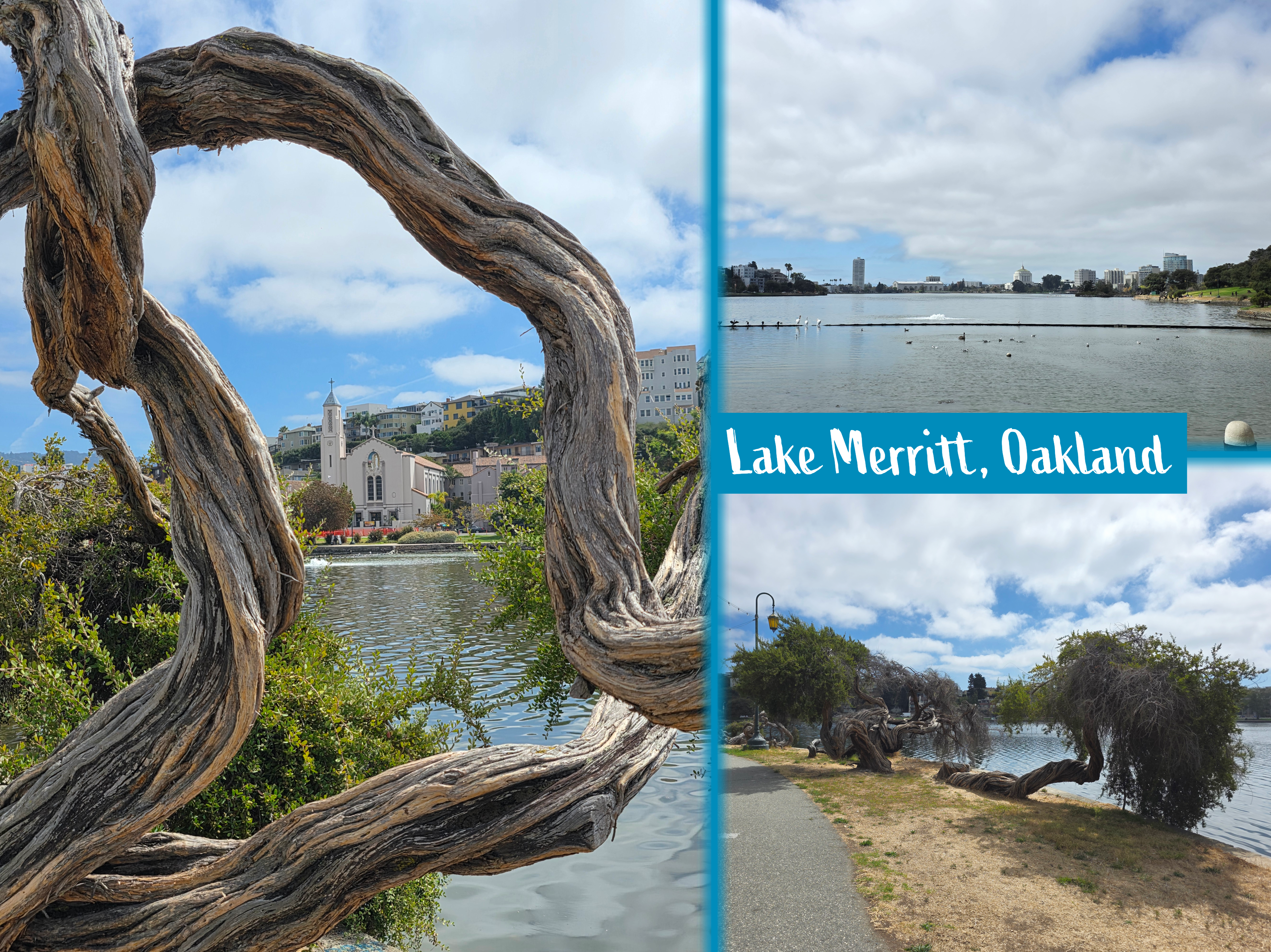
There is no question that it has seen better times, as the water level was low and the large population of wildlife gave the lake a strong scent of bird, but I was surprised by how almost European it looked from certain angles.
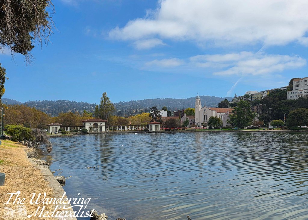
I became fascinated by one particular elaborate brick apartment building, similar to something you might see in New York or Boston, as well as the twisting trees at the water’s edge.
Return to Muir Woods
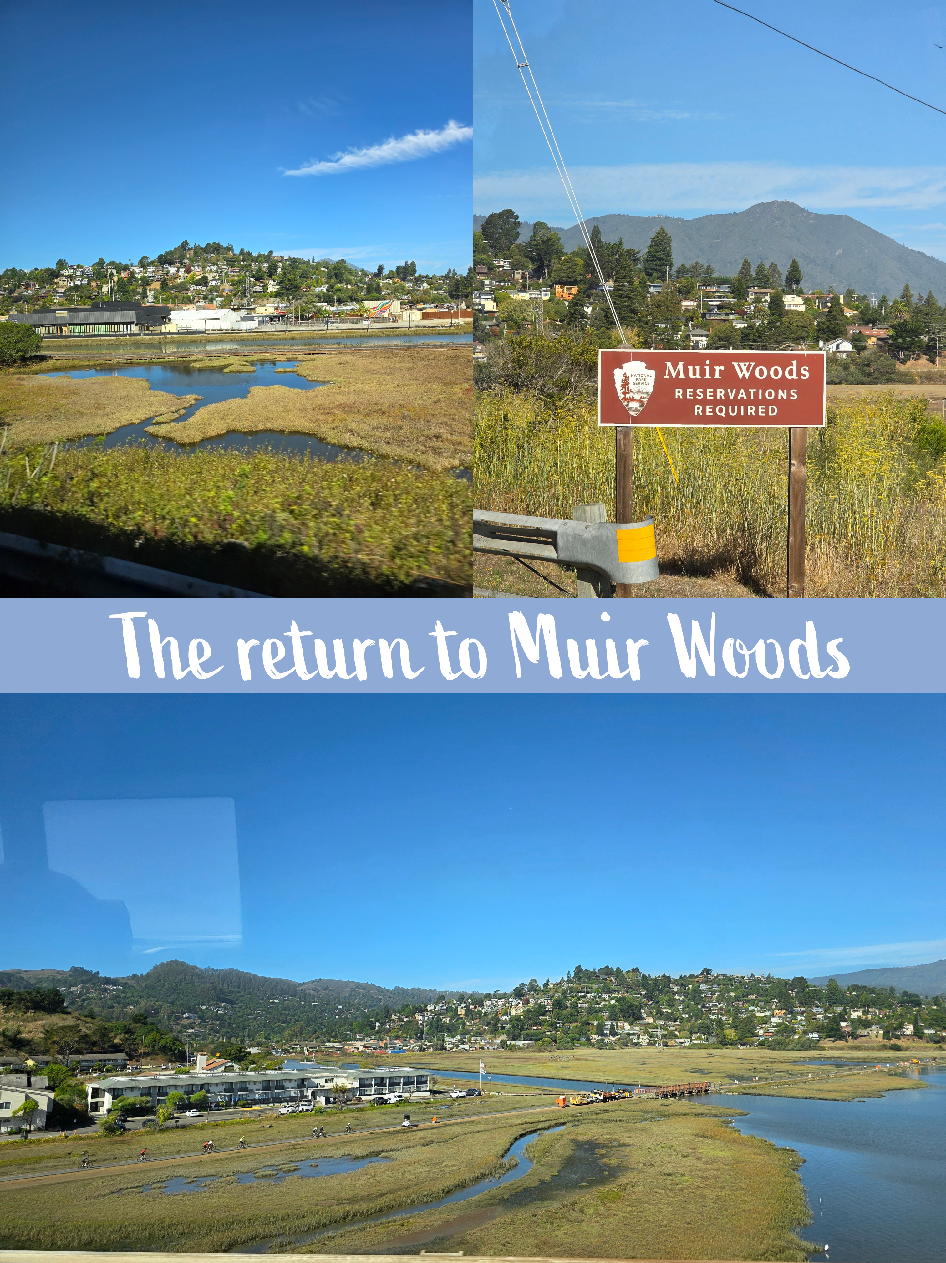
We had one day off in our time away, and I was determined to make it a day off worth having. My colleague liked the sound of a nature walk, and so we repeated my previous year’s plan of booking a shuttle from Larkspur Ferry Terminal to Muir Woods. The day was cloudless and warm but not as hot as earlier in the week, and we managed to get a 10am bus up into the hills.
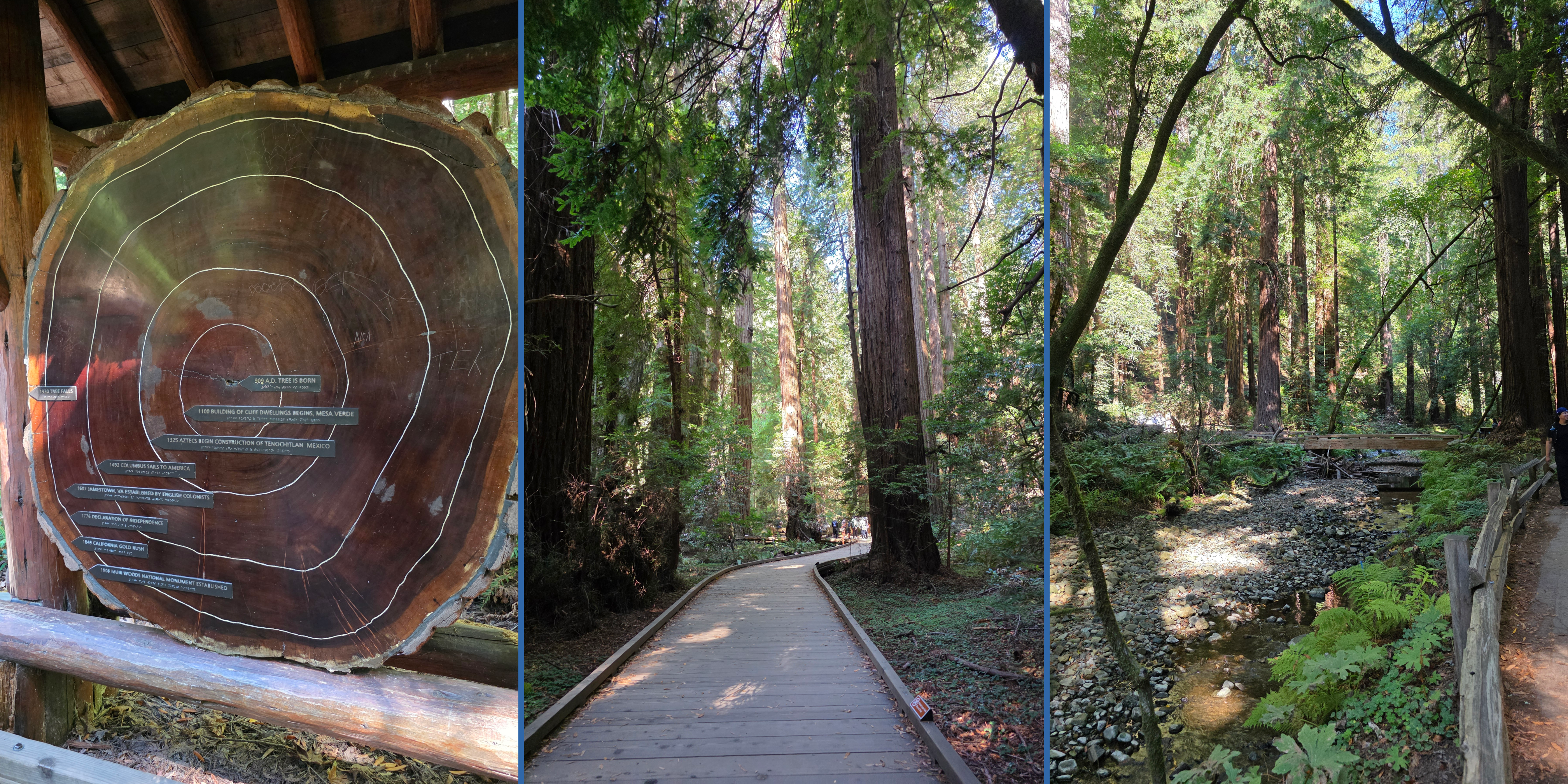
I was determined, at first, not to repeat too many of the pictures I took last year, but the sunlight disarmed me. Unlike my last visit, when mist hung about the treetops until into the early afternoon, on this occasion the sun had burned off any mist and was shining gloriously.
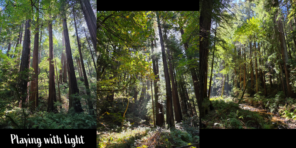
The combination of light through leaves and the tall, straight tree trunks was irresistible. Having learned a bit about the trails, I suggested the same loop I had done, and we made our way around groups of hikers and tourists along the creek and through Cathedral Grove before climbing up some stairs to the Hillside loop.
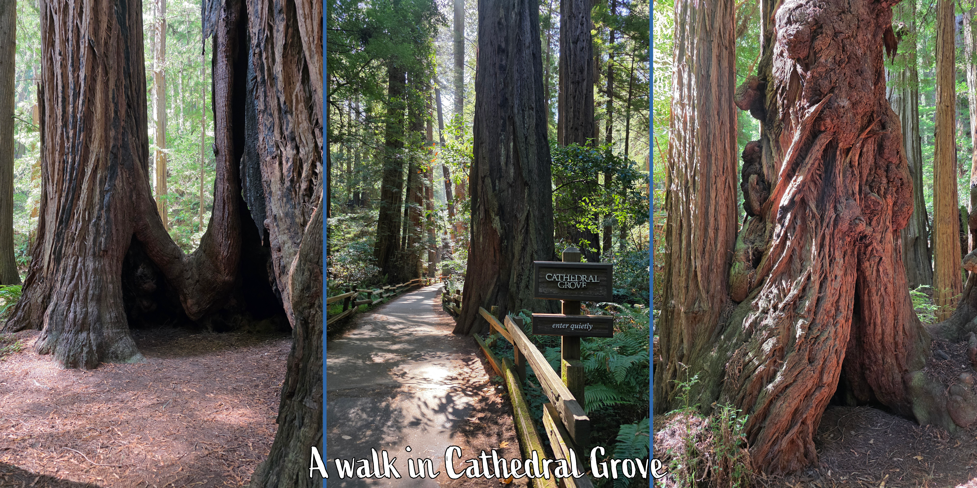
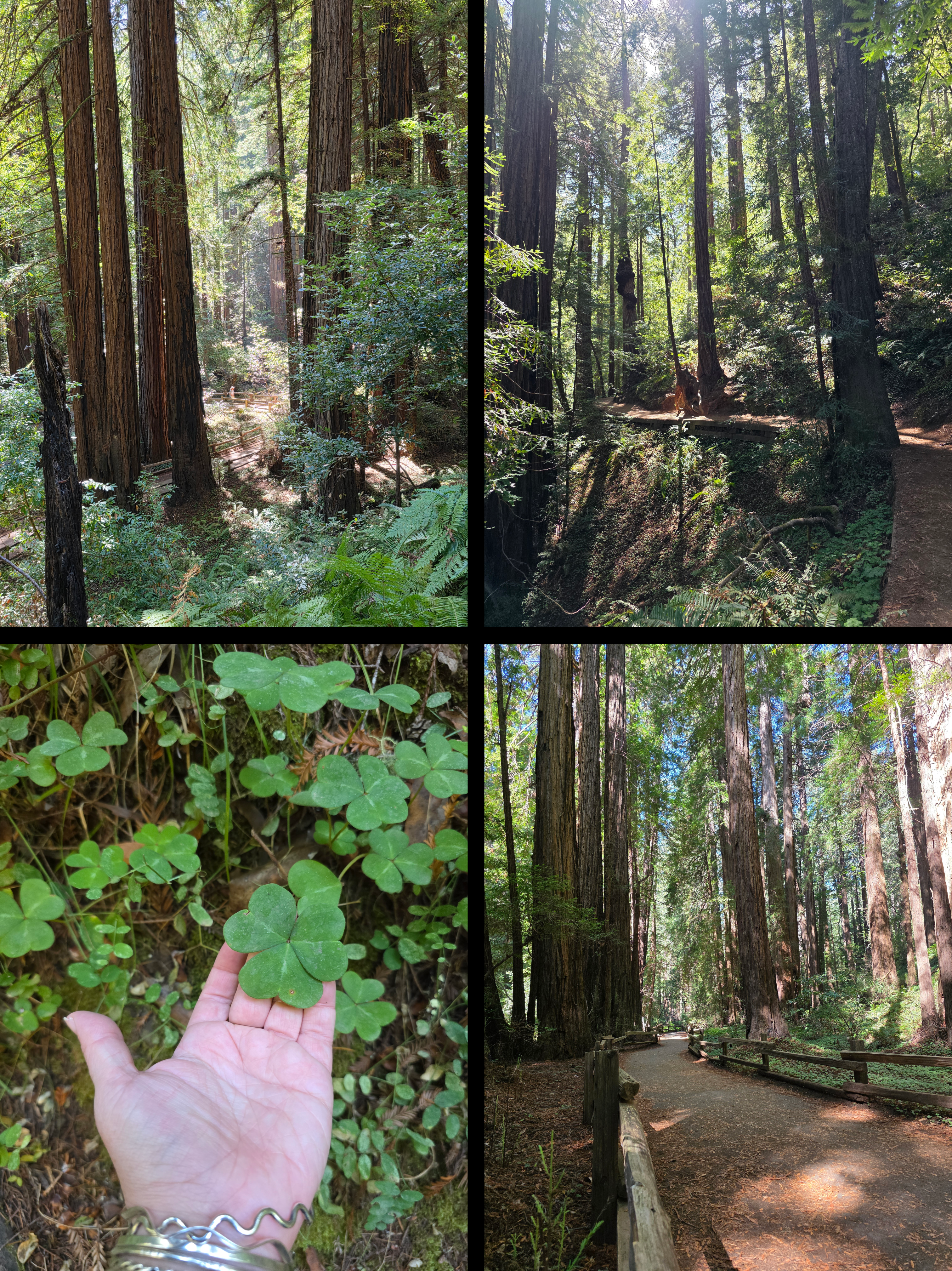
Interestingly, while last year the woods were crowded with tourists, this year I found there to be more walking groups. These were large groups, more than 20, who were clearly there to do the much longer nature trails that loop through the woodlands – a different kind of tourism. Normal visitors were present as well of course, but I would say the paths were a touch quieter, which was lovely. All readers will know by now my affection for woodland walks, and when the trees are hundreds of years old, there really is no comparison.
We managed to get to the café just before the lunch rush, and squeezed onto a busy shuttle at about 1pm. Just over two hours was plenty of time to do the hillside loop, grab some lunch, and visit the gift shop, though I was much more restrained on this outing.
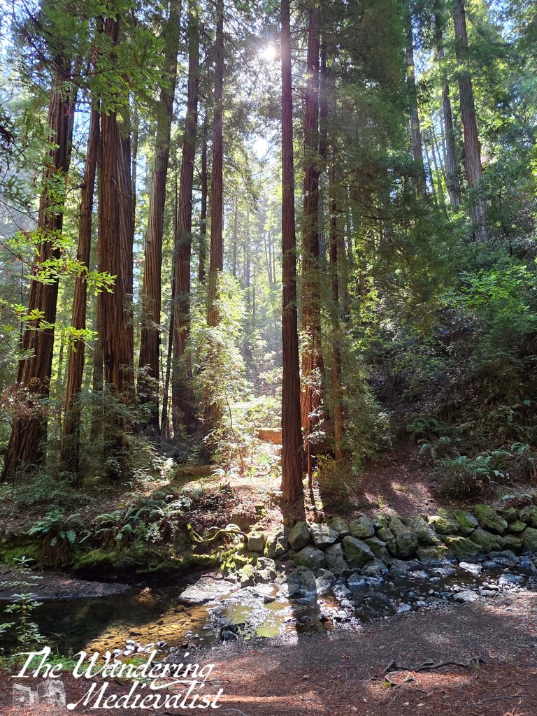
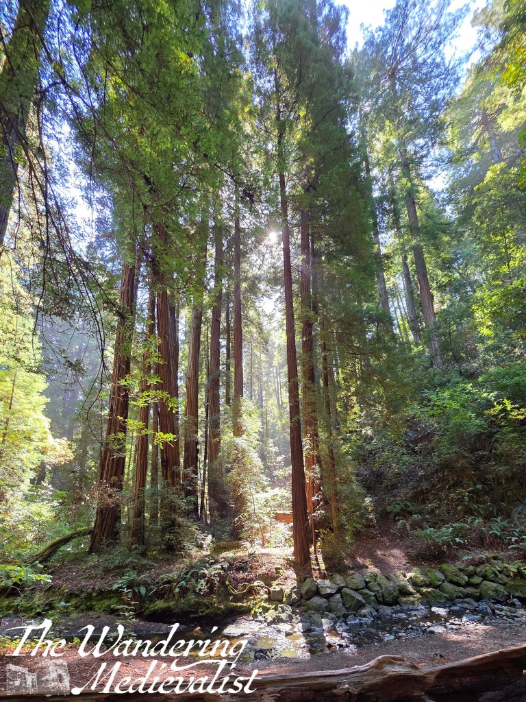
Seriously, does it get more beautiful?
Golden Gate View
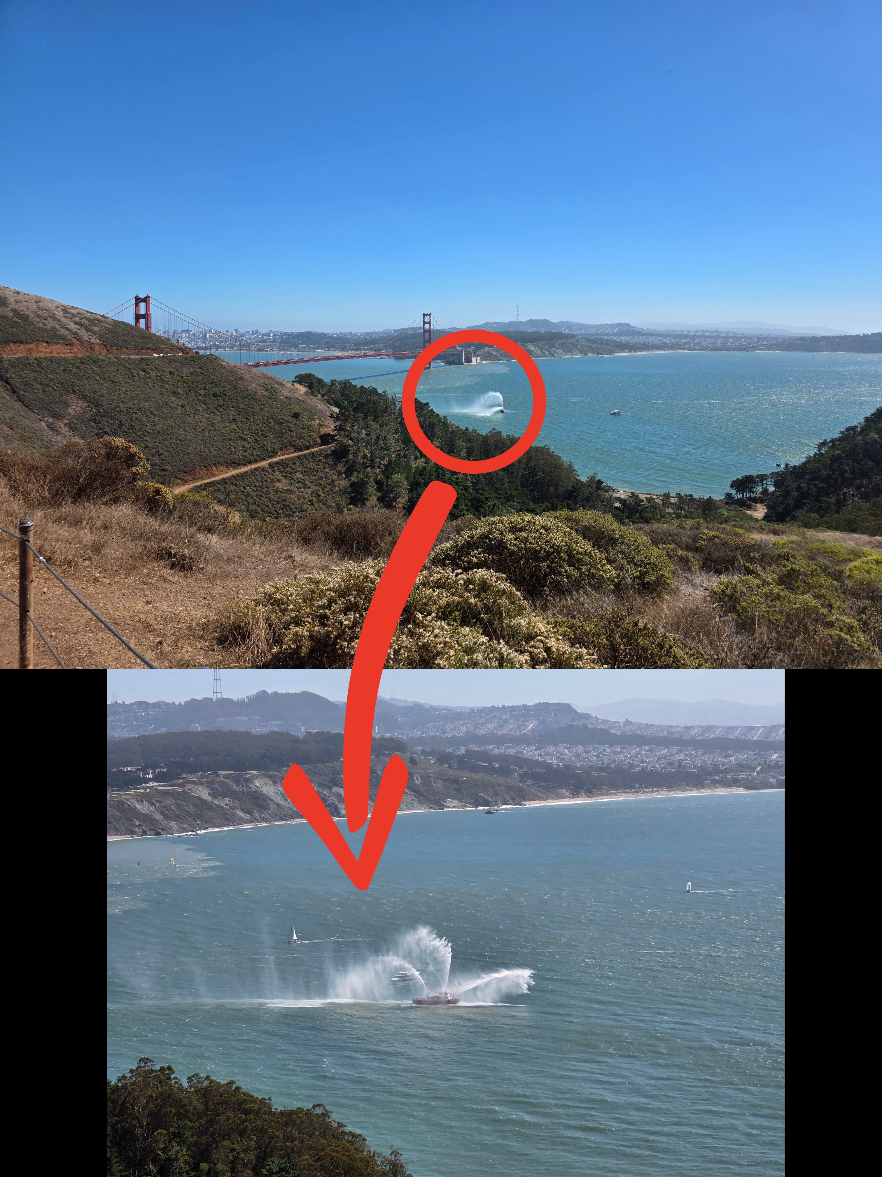
After the fiasco last year wherein all of the bridge view parking spots were too busy to stop, I was determined to find a quieter spot where we could park and either see or hike to a viewpoint over the Golden Gate Bridge. After a lot of searching on maps, I finally decided to try a back route to the bridge which involved a long twisting road. It passed through a tunnel for which the stoplight posted a sign ‘5-minute wait likely’ as it was one-way only at any given time. Once we passed through the tunnel, we wound up narrow roads reminiscent of the Scottish Highlands or Borders, and finally climbed out of the valley and down the other side. At times like this, it is almost all you can do not to just stop the car; instead, we continued on to the designated spot and were rewarded with someone backing out just as we arrived. Gleefully, I took their spot and we climbed out of the car with our mouths open, to be greeted by the view below, complete with a fire rescue boat testing its jets.
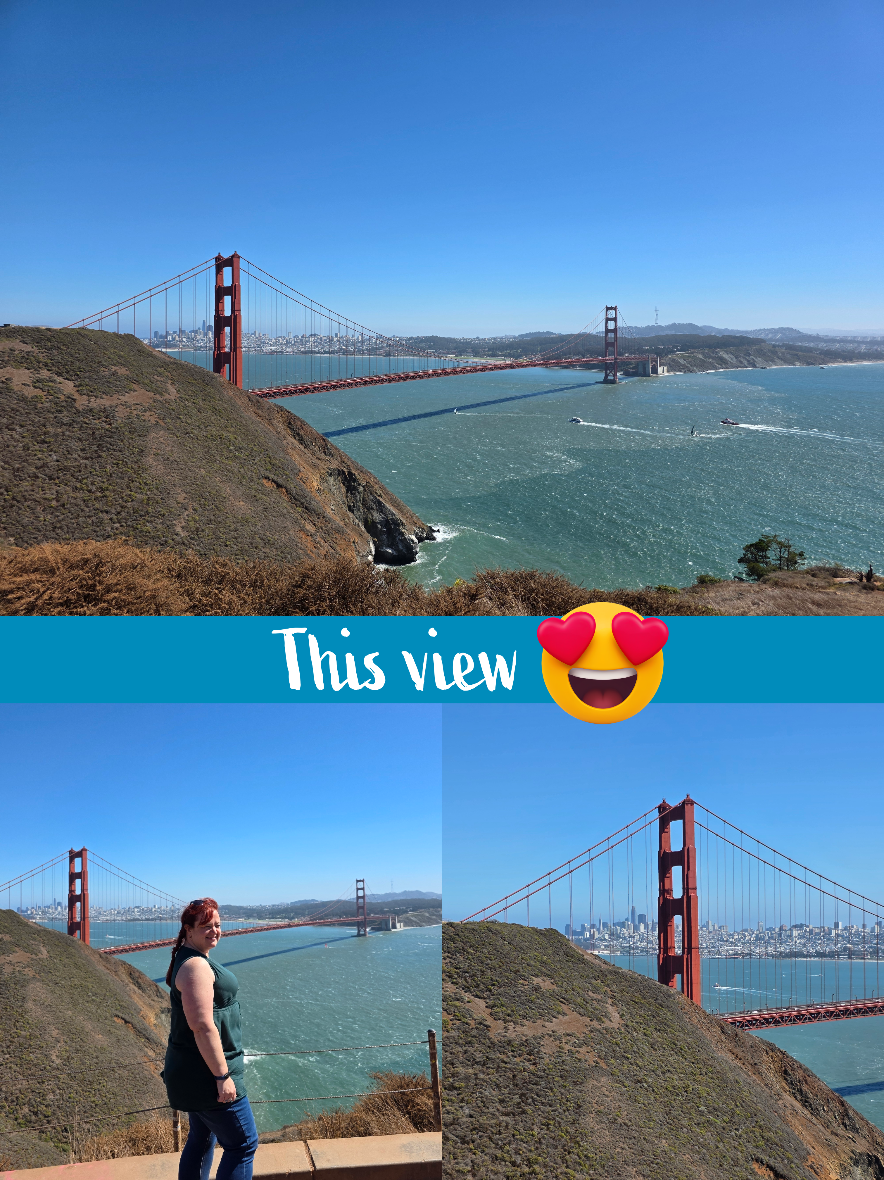
Very quickly we realised that there was a path to the left leading out to the headland looking over the bridge more directly. It was only about five minutes along and we knew we had a safe parking spot, and so away we went, trying not to trip over our own feet as we stared out over the Bay.
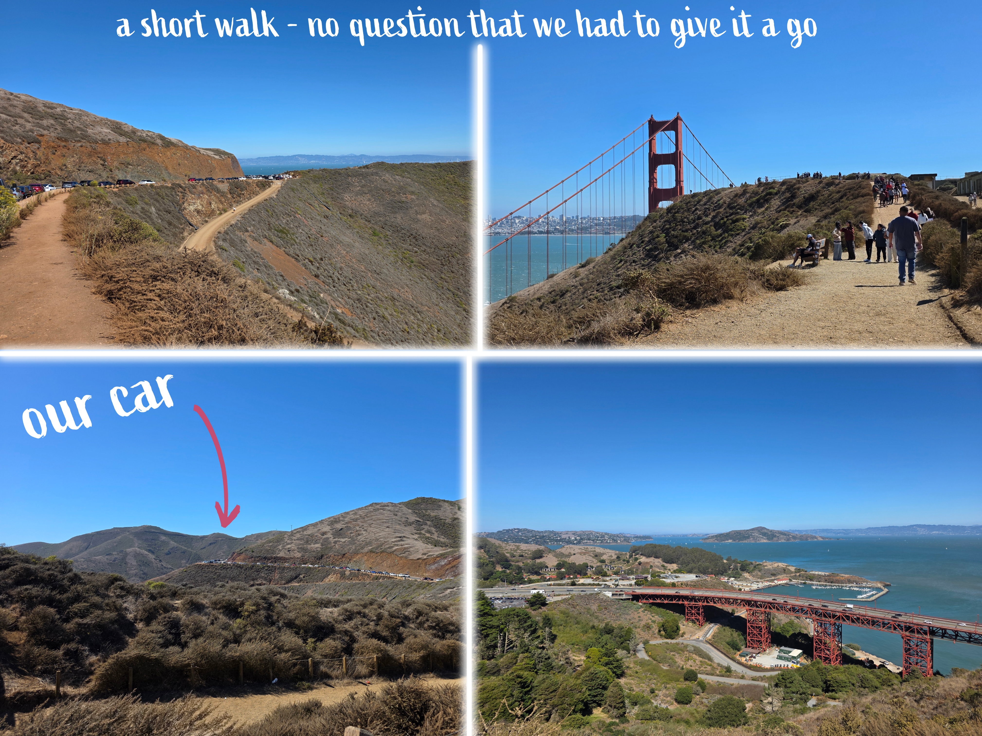
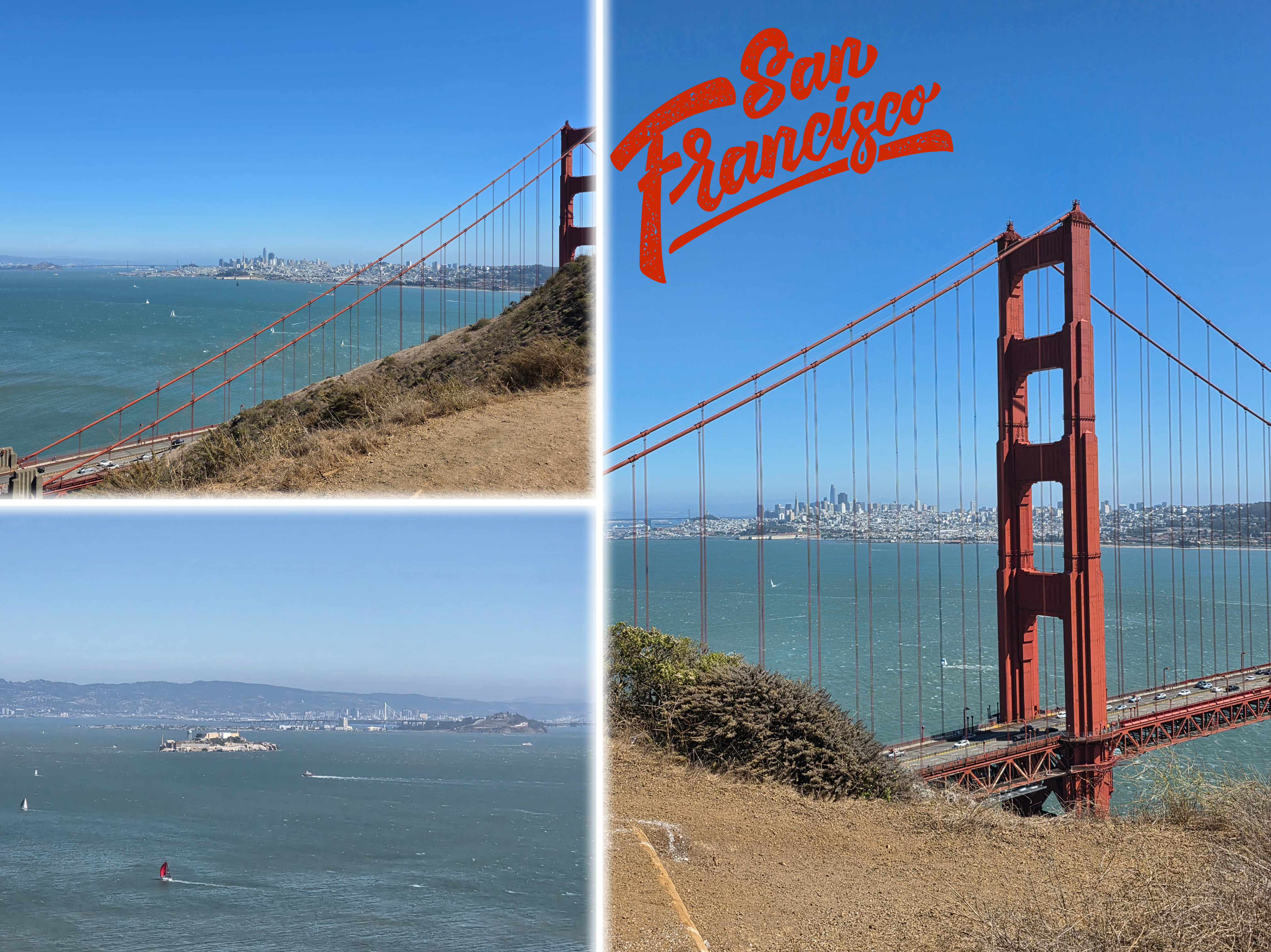
This very obviously was the right plan. We joined a group of walkers along a wide dusty path towards what felt like the edge of the cliff, but where there is an old battery overlooking the entrance to the Bay – the 19th-century concrete Fort Baker.
From there, the views are quite honestly some of the most incredible I have seen. It was a crystal clear day with very little haze with more than 180 degrees of Bay around. We could see north towards Sausalito and Angel Island and across to the city – through the bridge stays – and everything in between. From this angle, the isolation of Alcatraz is much more obvious, and the swift-moving waves and currents that prevented anyone from successfully swimming off the Rock (probably) are more obvious. The water, as you can see, was an almost tropical blue-green, the bridge a much brighter red than our local version (the Forth Rail Bridge), and the waves were just peaking a bright white when the wind caught them.
The view along the coast just to our right was also lovely, with pine trees and rocky shores reminiscent of the Pacific North-West.
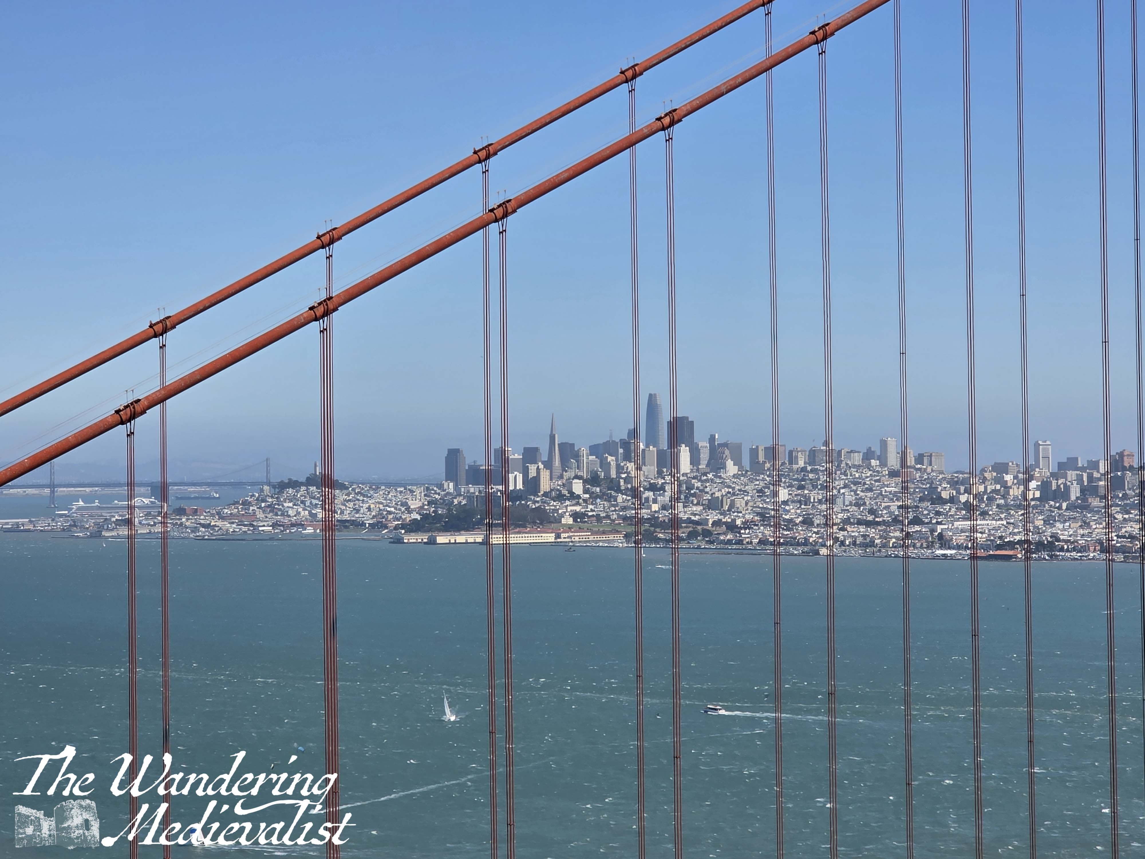
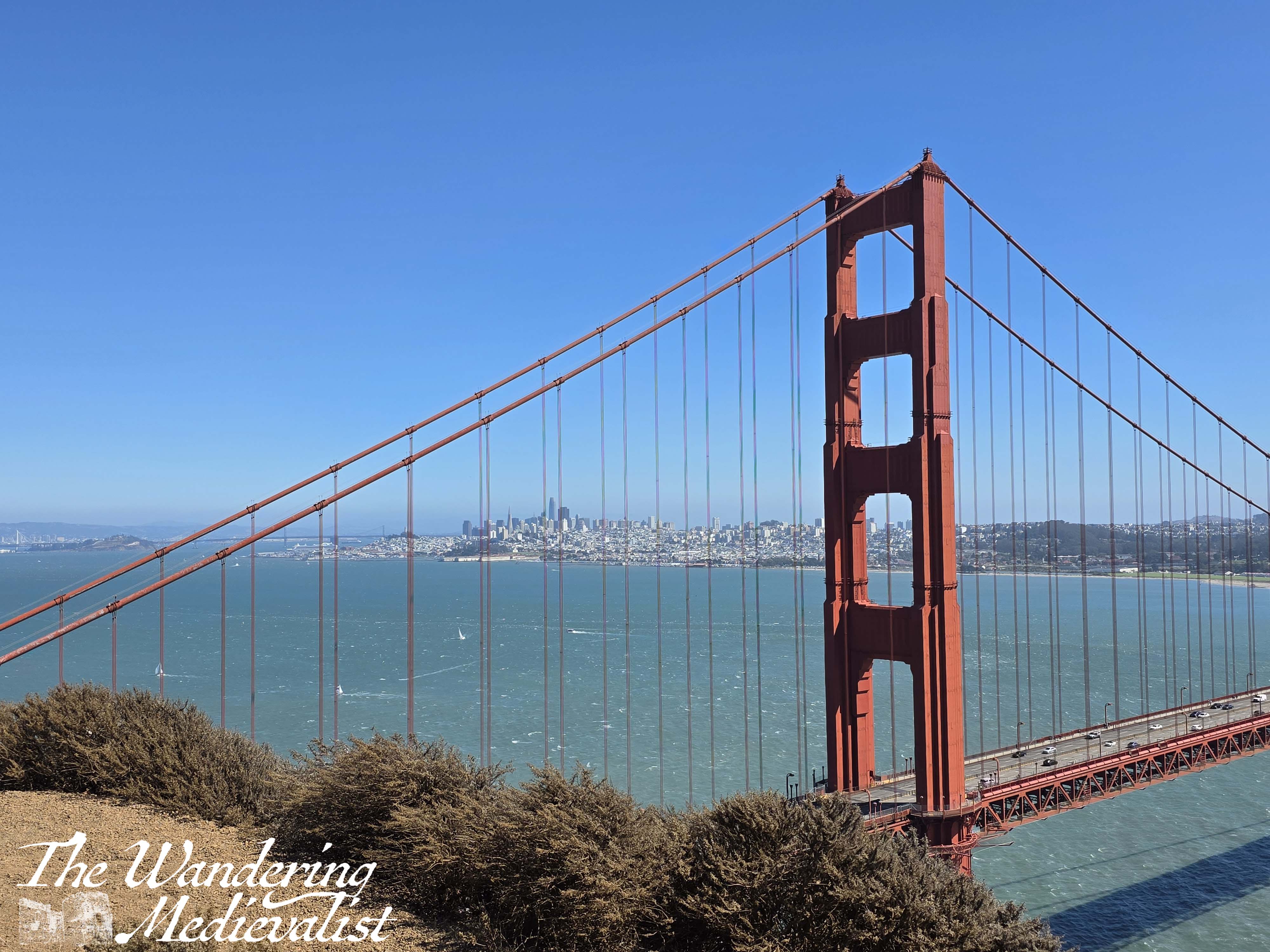
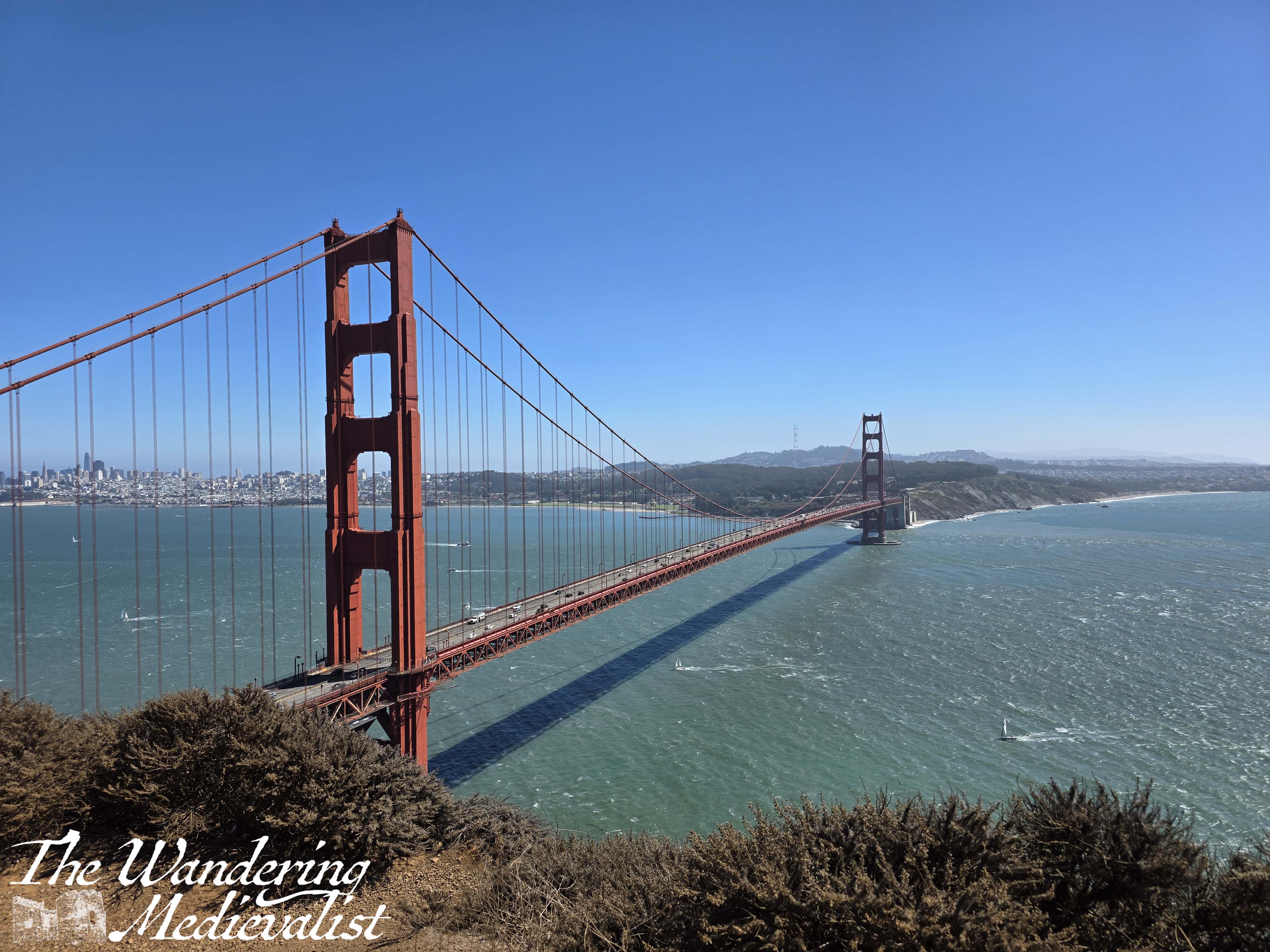
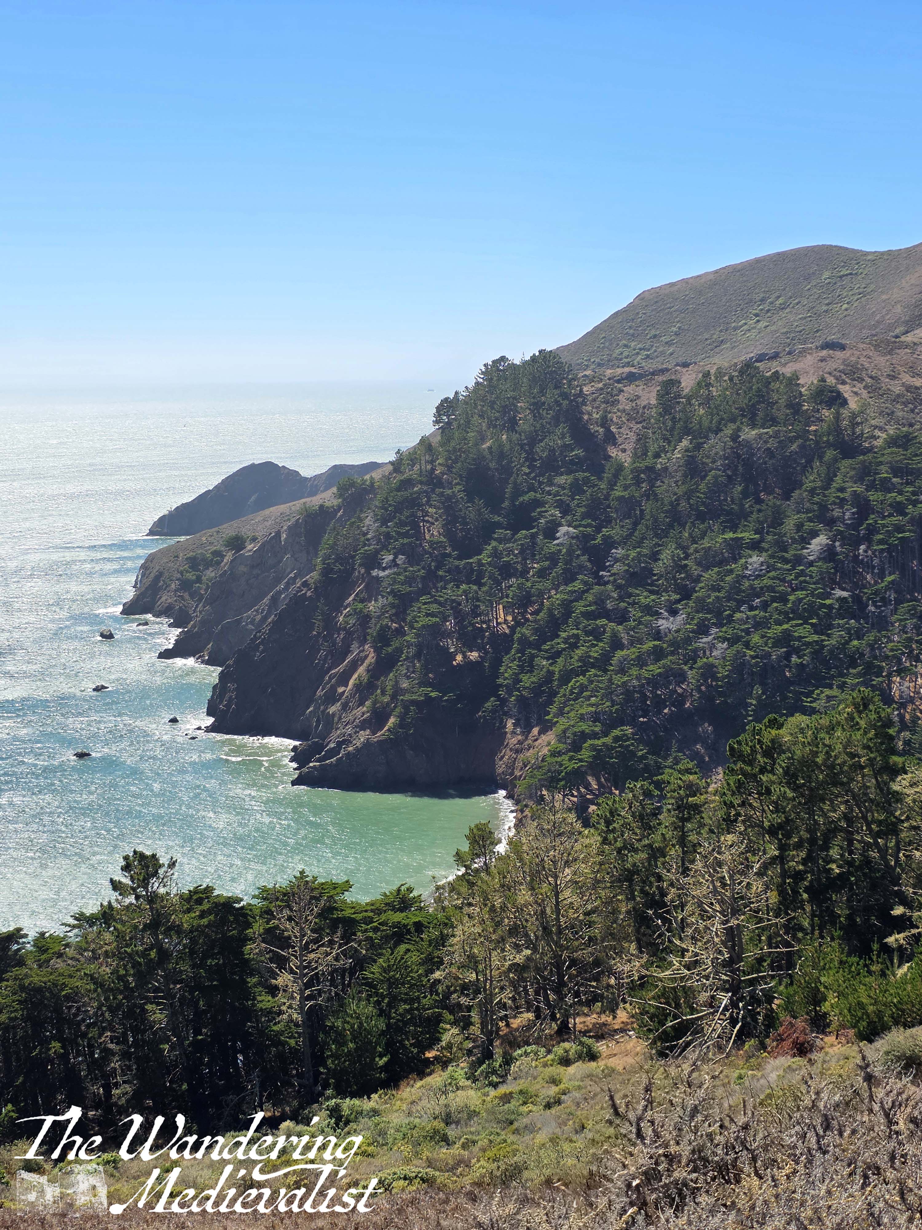
We stayed here quite happily for some time, taking as many pictures as we could, before reluctantly returning to the car. For a spot on a map picked quite at random, it turned out to be a good choice.
The end
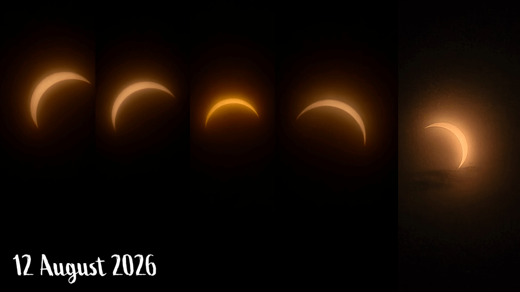
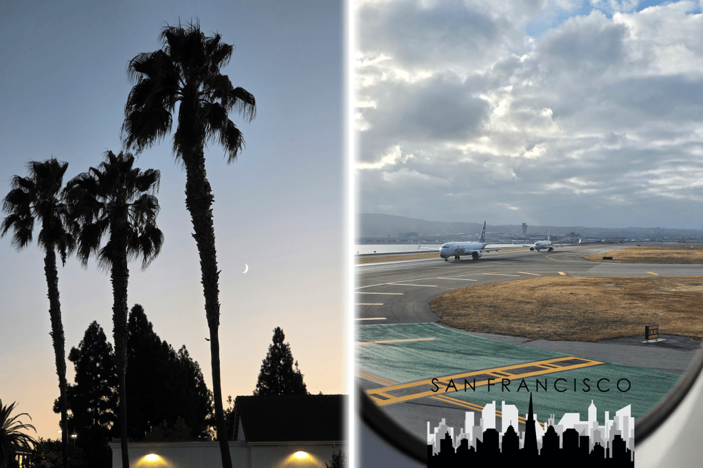
After that view, there wasn’t much that could top it. We returned to work the following day refreshed and revived, and also with clean laundry, which we had just enough time to do the evening before. The rest of our trip was much busier, but I did manage to snap this one crescent moon picture from my hotel room in Santa Clara, and caught the line-up of planes getting ready to leave San Francisco behind us.
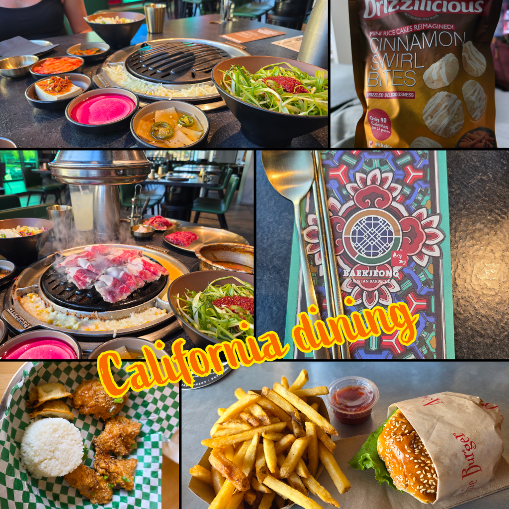
One final aspect that should not be forgotten is the food – we ate well while we were out, moving from a local Korean hole-in-the-wall with amazing chicken and dumplings, to a proper American burger and fries, with some curiosity-induced cinnamon snacks, and finally to a proper Korean BBQ, which neither of us had tried before.
I have to admit, I think my favourite was the hole-in-the-wall chicken, with a garlic soy glaze that was just perfect. But the burger was excellent and the BBQ a fascinating deviation from normal on-the-road fare.
I’m heading off to the US again in a few days, and am sure this trip will bring plenty more adventures to report. I’ll be solo this time but in a whole new part of the US that I have never been to before, and I’m excited to see what it will bring.