First, a disclaimer: this is not an ‘official’ walk, but rather a trek that we stumbled onto ourselves. It isn’t really a loop, and not really an out-and-back, instead two out and back paths, and it is a record of the walk we took most recently when visiting Glencoe. It combines parts of a few others into two miles of lovely scenery, a bit of climbing, and two bridges. As you know, I cannot resist a bridge.
One of the hikes on my bucket list – right behind climbing Ben Nevis – is the Lost Valley trail that leads up a ravine next to the Three Sisters of Glencoe. It is not particularly long (about 5 miles out and back), but as we learned on this hike, it is quite steep, and neither of us were feeling quite rested and ready enough to really give it a go. So, we…adjusted.
The day started off in the parking lot at the Three Sisters Viewpoint, which since the pandemic has undergone an excellent redevelopment, allowing for safer entrance and exit on to the busy A82, and designated parking spots. The parking is still a bit of a free-for-all, with visitors ‘creating’ their own spots when they are all full and blocking people in, but at least tour busses now have their own viewpoint, a few hundred yards along.
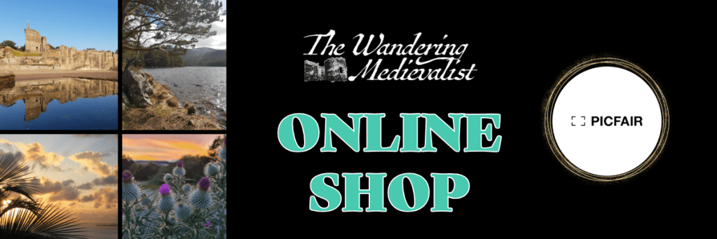
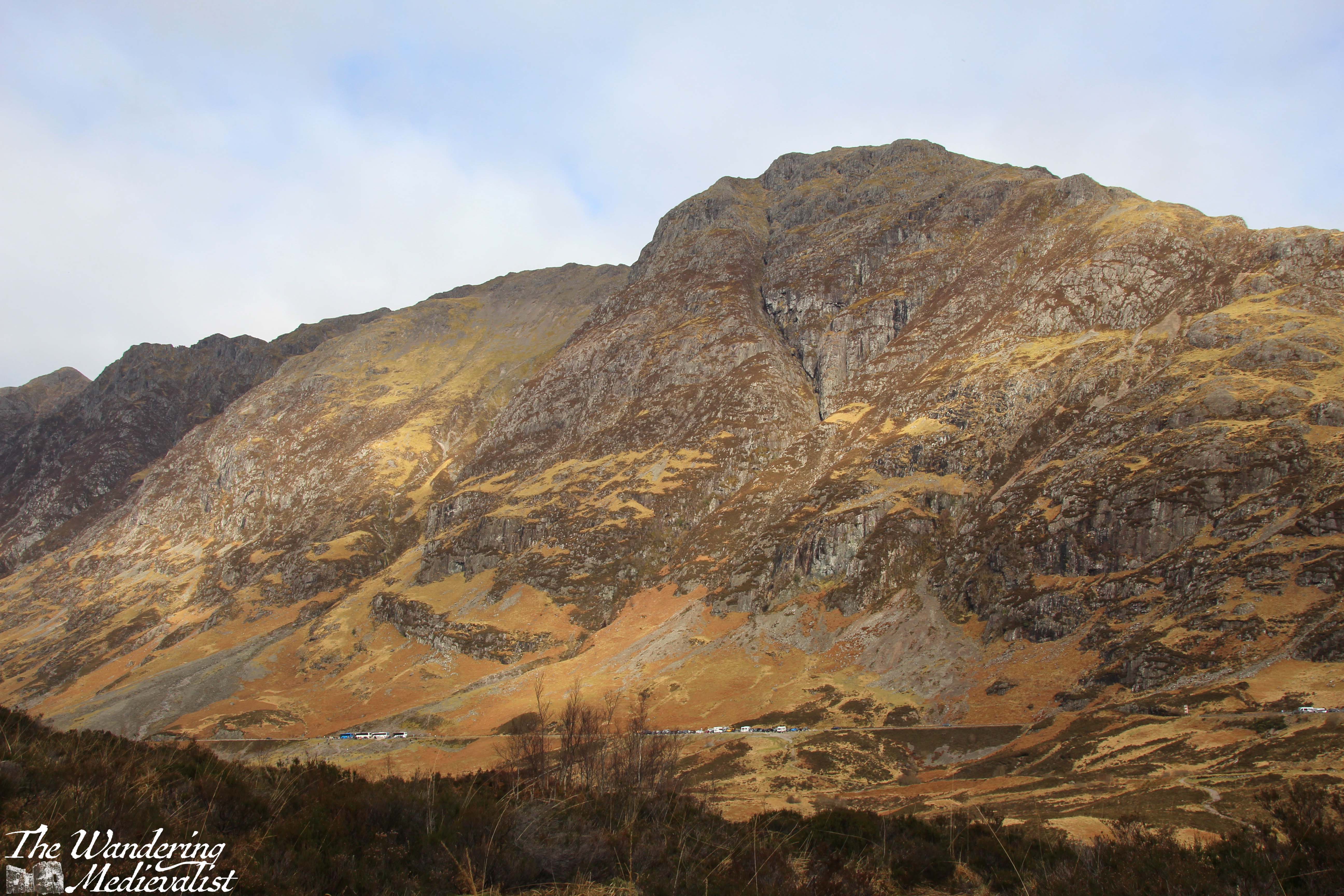
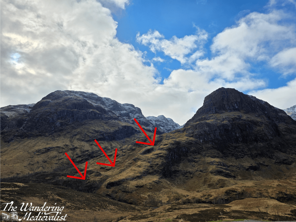
The spot is busy because it offers access to one of the more famous views in Scotland: the Three Sisters of Glencoe. I have more than a few versions of this view, taken in many different types of weather, but here is the one I took when we visited most recently:
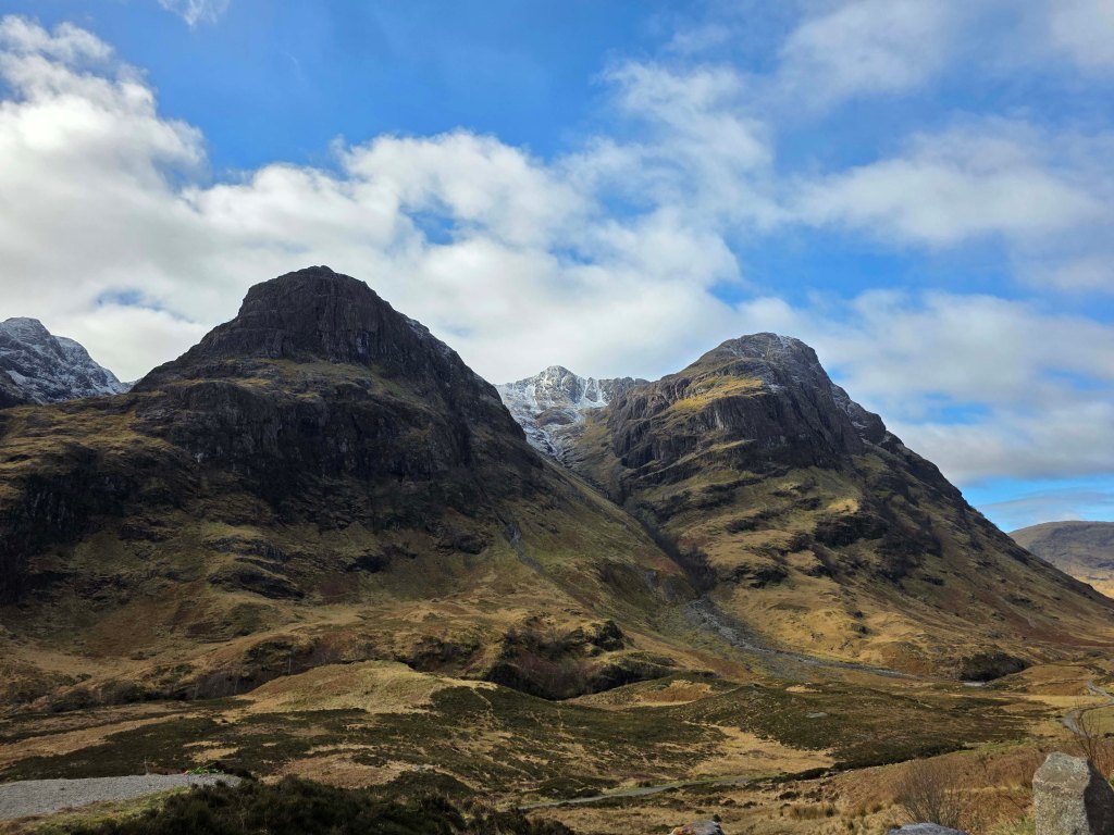
I can never really decide if I like this view better, or the one that looks down towards Loch Achtriochtan:

What do you think? Leave me your comments below 😊👍
While you no longer have to take your life into your hands stopping at this car park, you do need to stay alert and be prepared to be hemmed in, at least for a short while. If only there were a nice view to distract you…this, like St Andrews castle, is another view of which I cannot avoid snapping another version. The light may be different, after all, and the mountains are always a different colour.
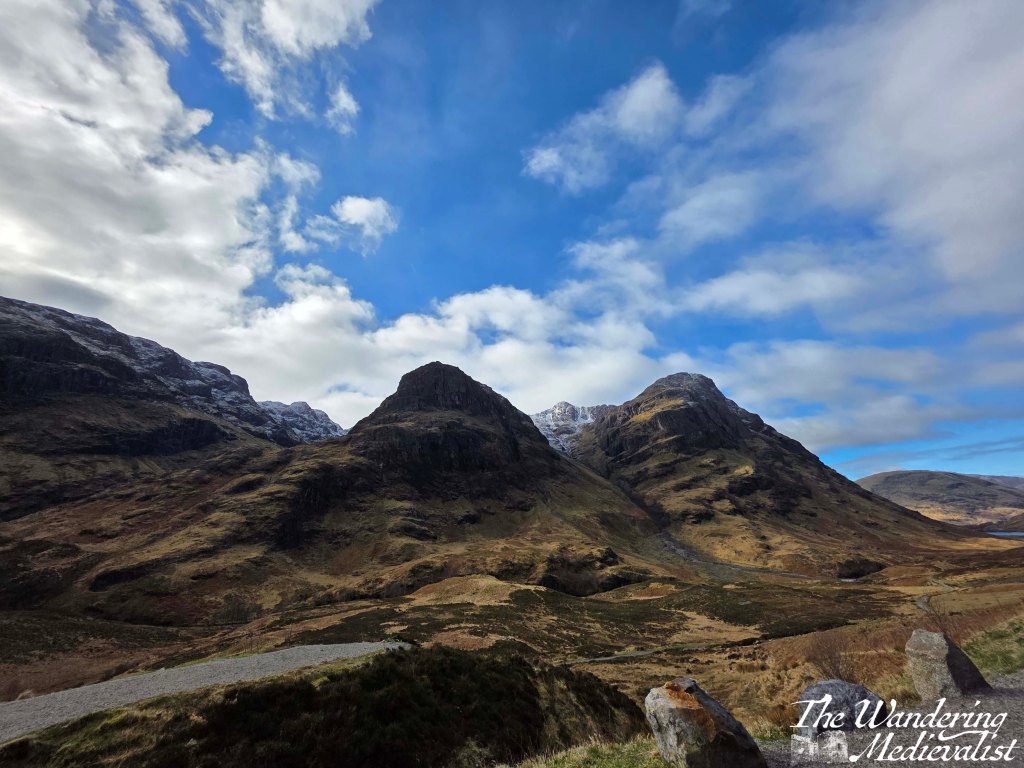
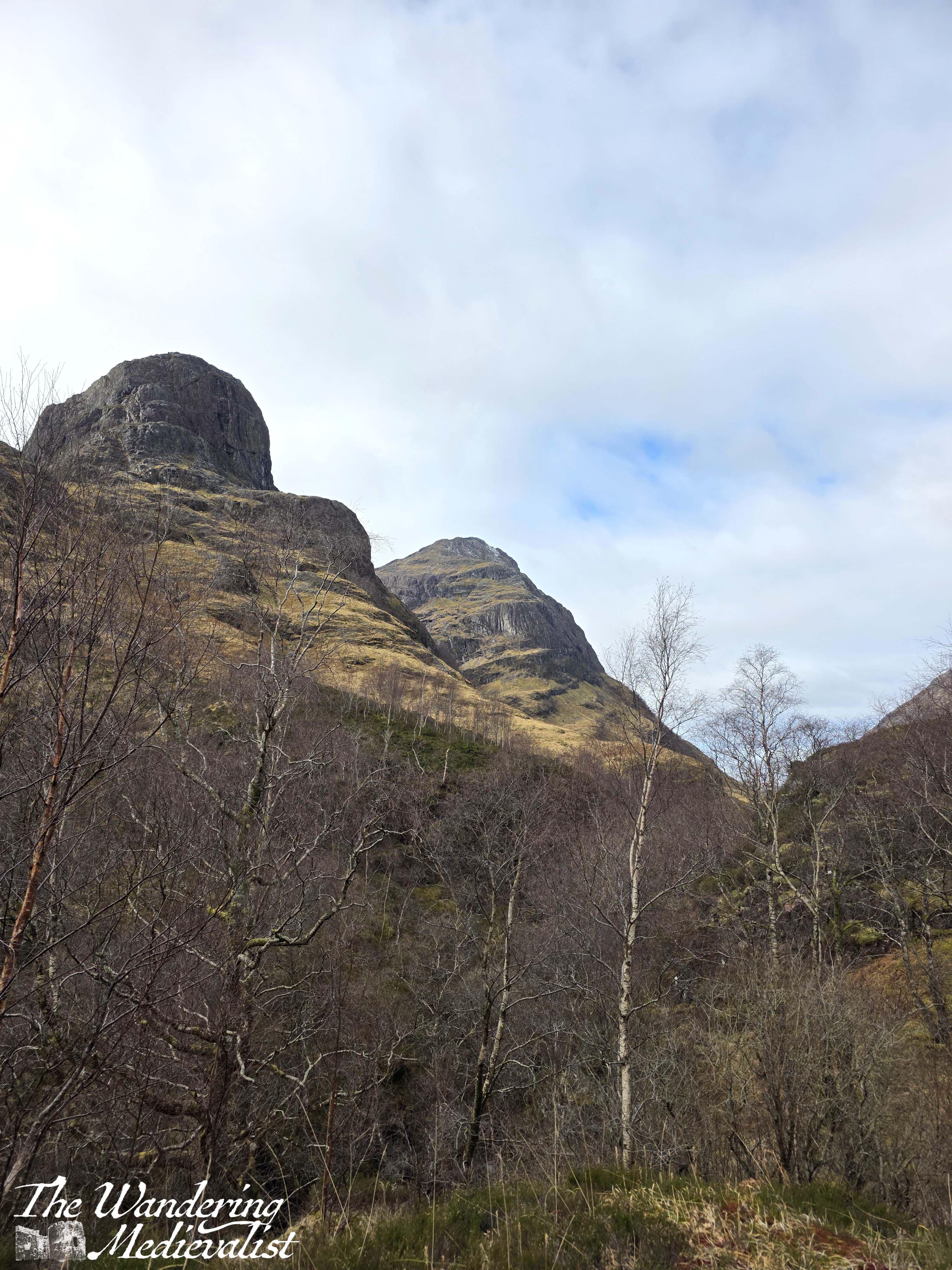
But I’m getting distracted. We managed to find a good – legitimate – parking spot, changed into our hiking boots, and started off down the steep path that leads from the car park into the valley below. Here, the trail is wide and quite well-kept, dirt with small rocks that can turn your boot if you’re not paying too close attention. On either side of the trail is grass, heather, and low bushes, with small rivulets making their way down to the river below.
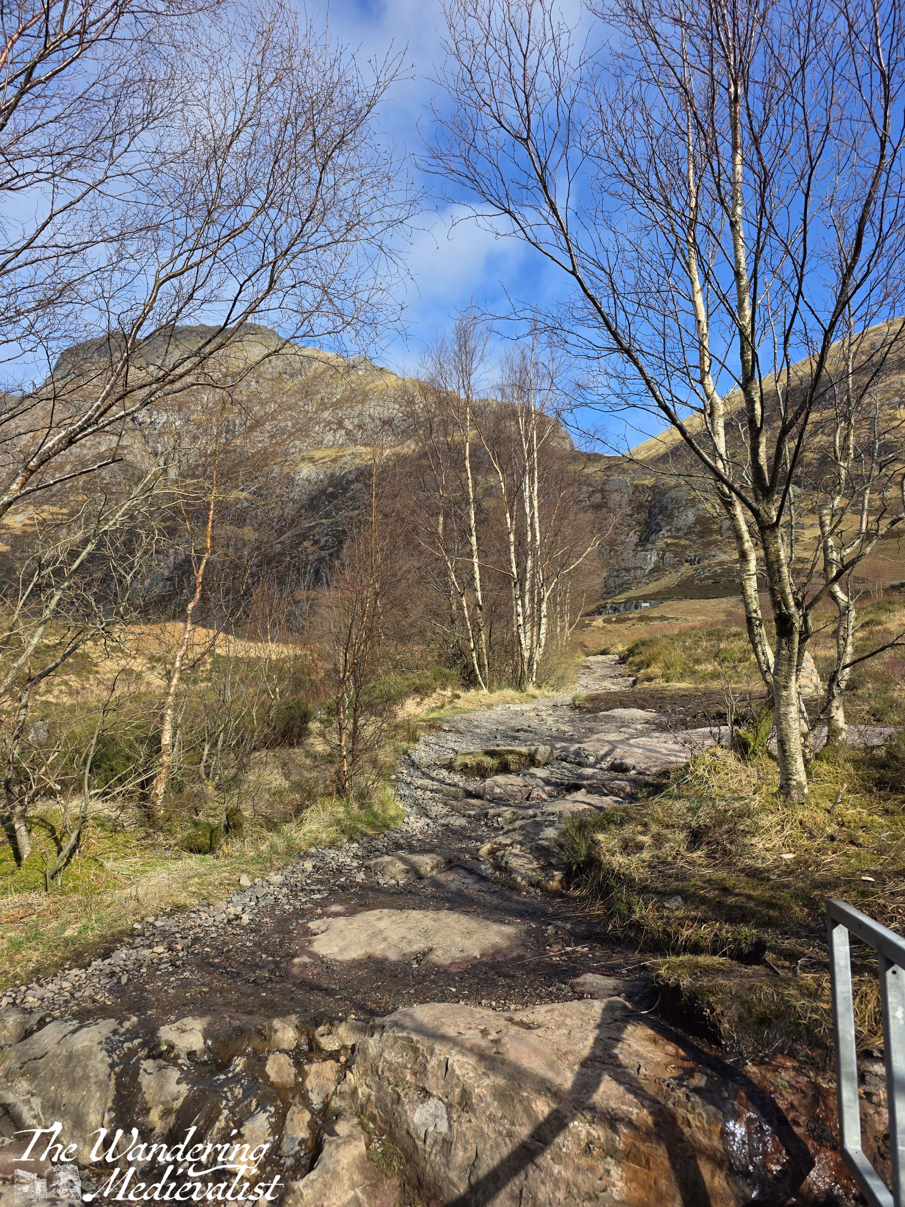
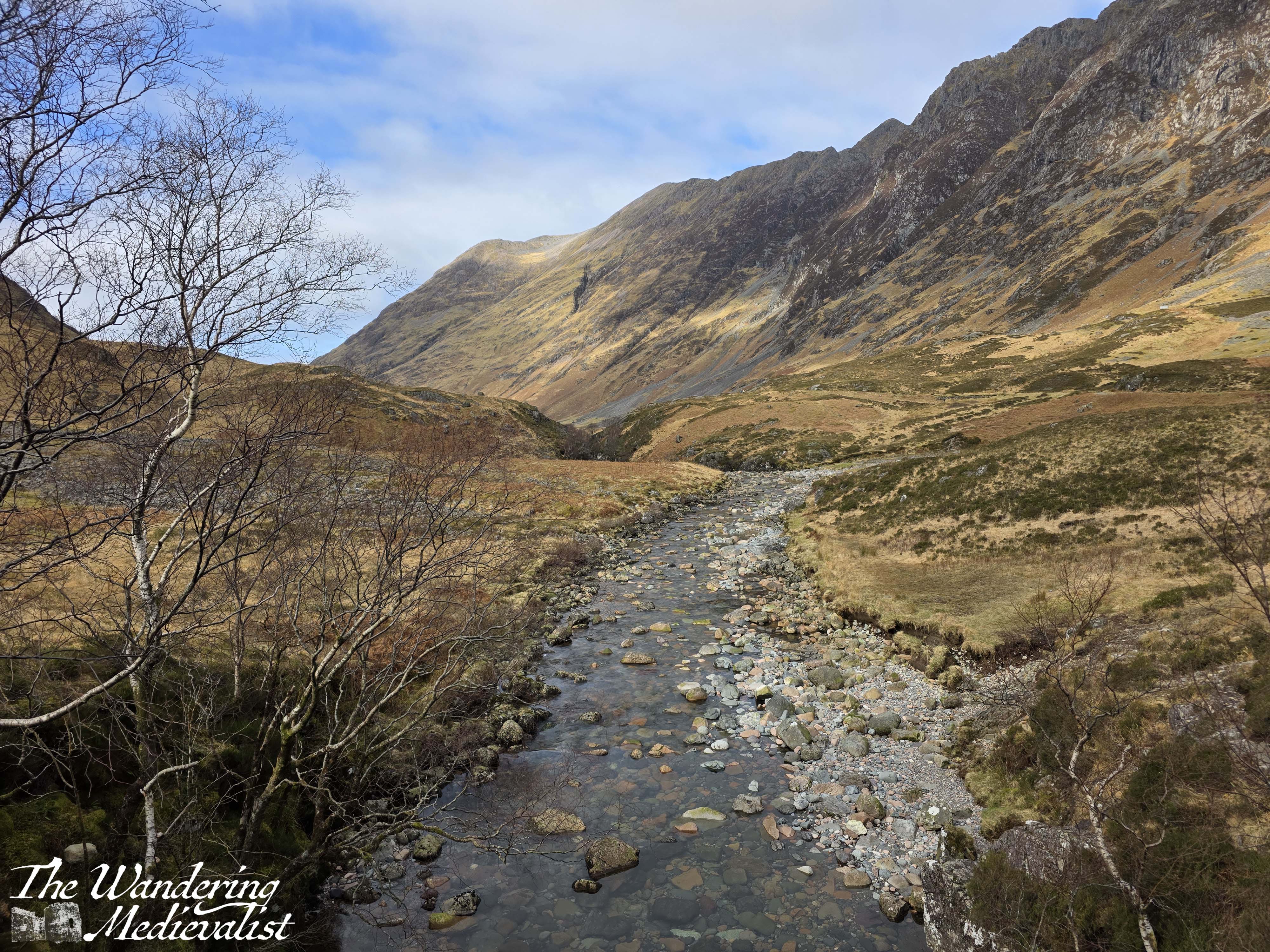
The well-used trail is just about in shape for cyclists, and once level leads either to the west towards Loch Achtrioctan or to the east, towards the Lost Valley trail. We took this route, and found that as we got further from the car park, the trail became rockier and a bit wetter, as the small burns broke over the path. In a few places you have to either jump across water or make your way on rocks, so if attempting this walk ensure that you are wearing sturdy shoes or boots. Not, as I saw several tourists wearing, flip-flops (as we call them in the US) or sandals. The path is relatively level, though to your right you will notice that the river, which is relatively open below the car park, is quickly being hidden by the rising banks.
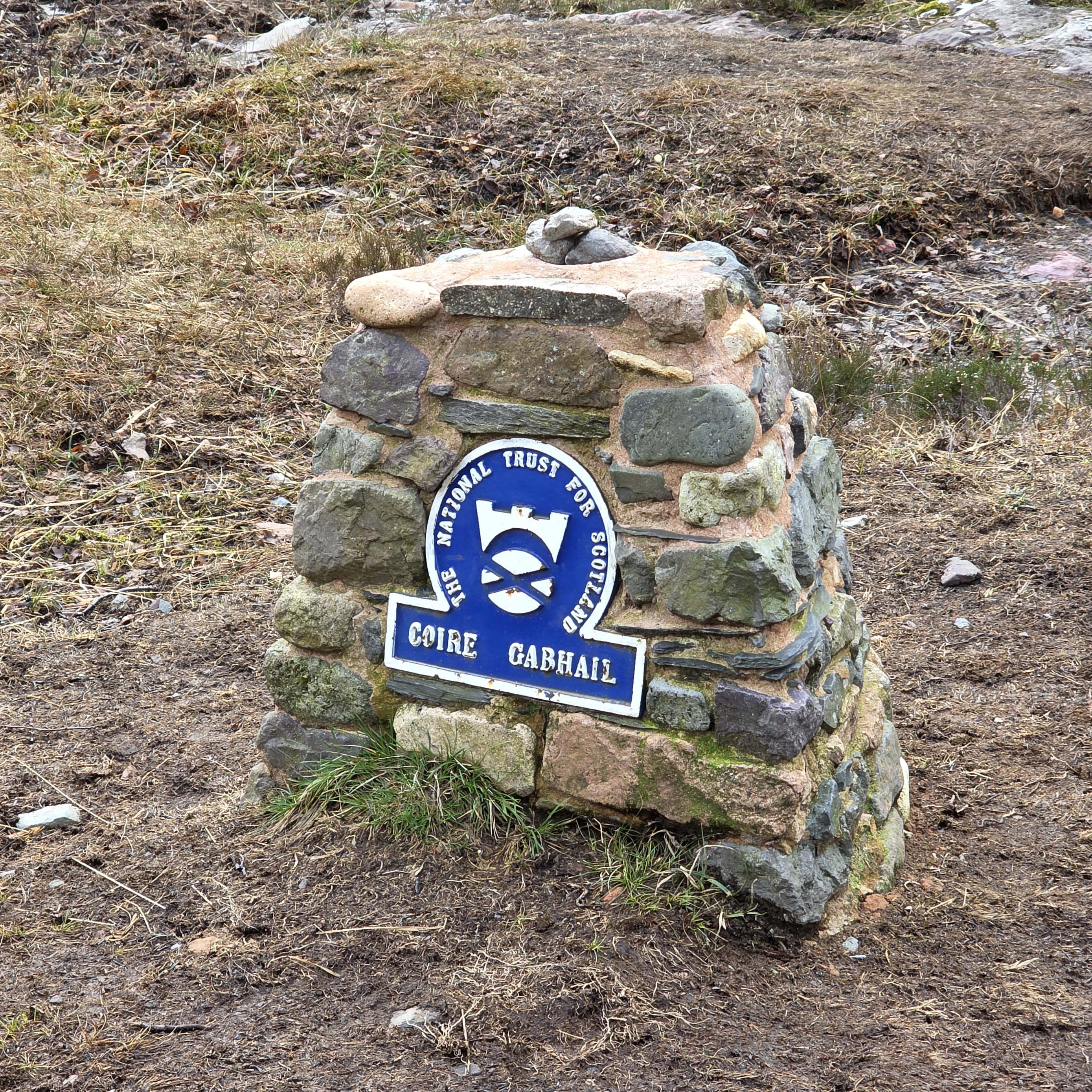
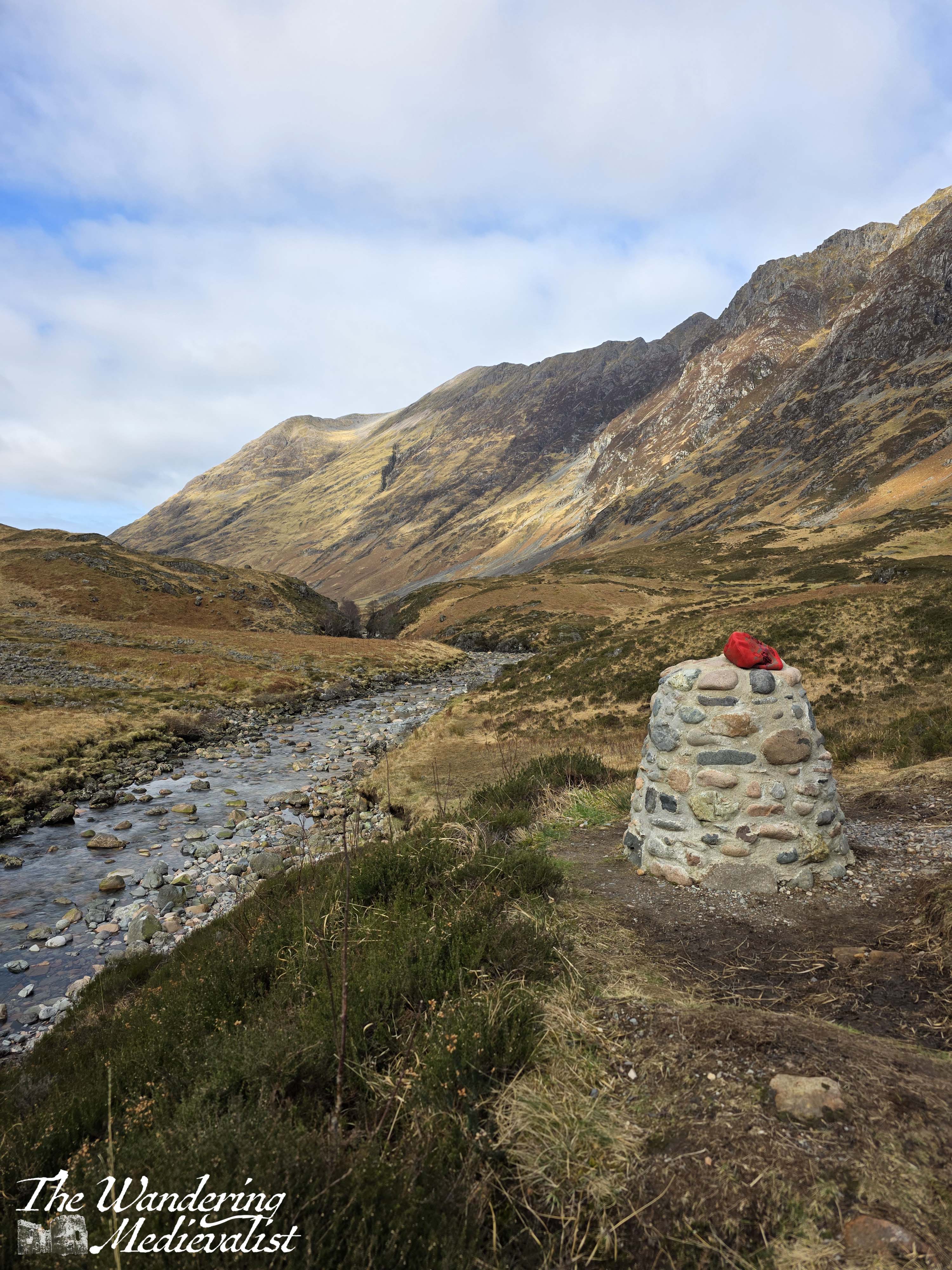
In about 0.3 miles, you reach a small cairn which marks the entrance to the Coire Gabhail (Lost Valley), and sits at the top of a set of steep metal stairs that descend to the first bridge. The River Coe is deep below in a gorge, just visible as you cross.
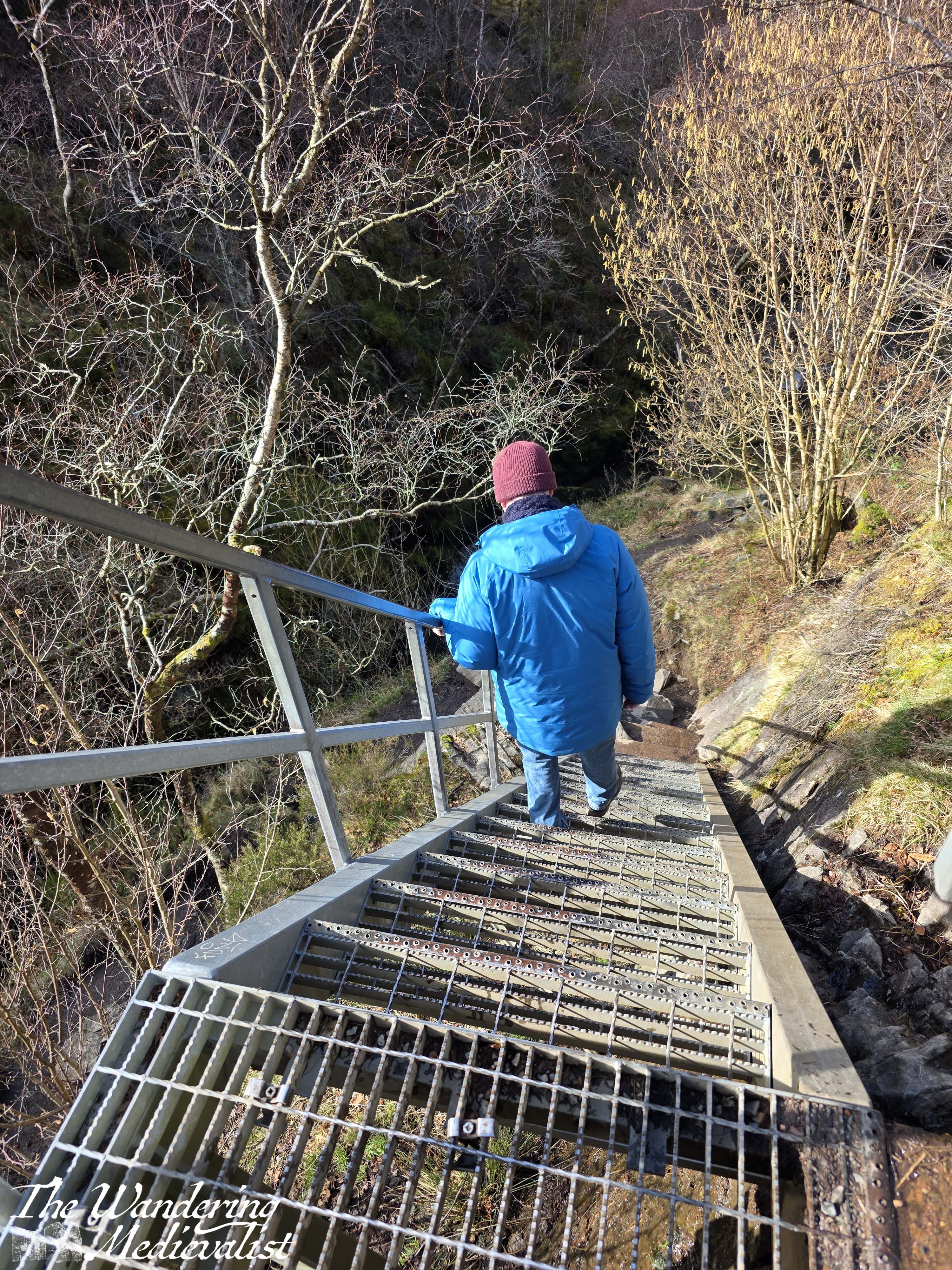

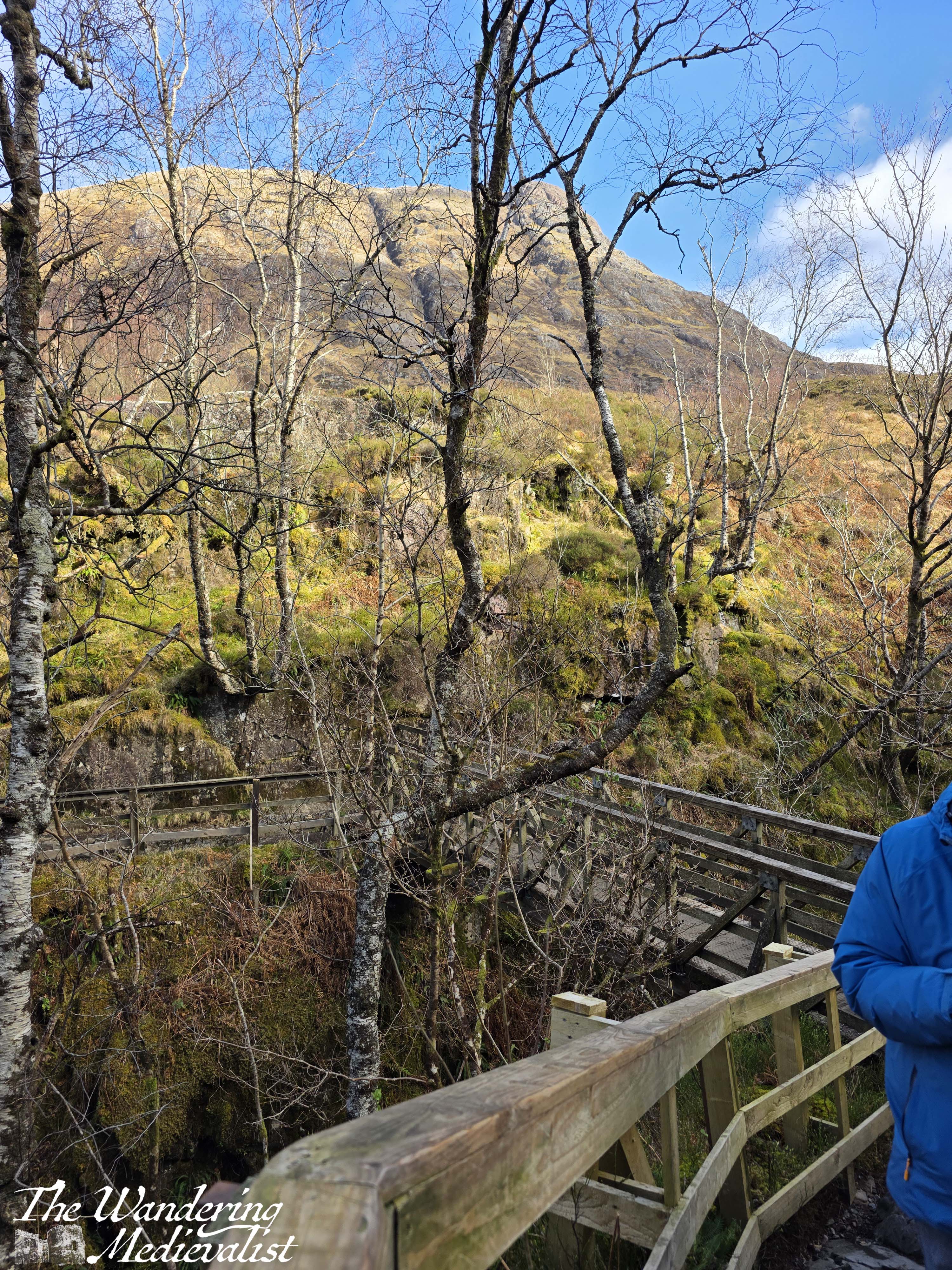
The bridge is well-maintained, and almost immediately upon crossing you are faced with your first real hurdle (not counting the steep metal stairs, which are probably only a real issue for the vertically challenged among us). This hurdle is a steep wall of rock which really does require all four limbs to get up – there are plenty of hand-holds, but the rocks are slippery and there is a very sturdy wire rail which can be used to help climb. It is an absolute necessity on the way back down again.

This picture does not really capture the climb, as I was already part-way up so the angle is not steep enough. Suffice it to say, by the time you have reached the top, you will have gotten your blood pumping a bit.
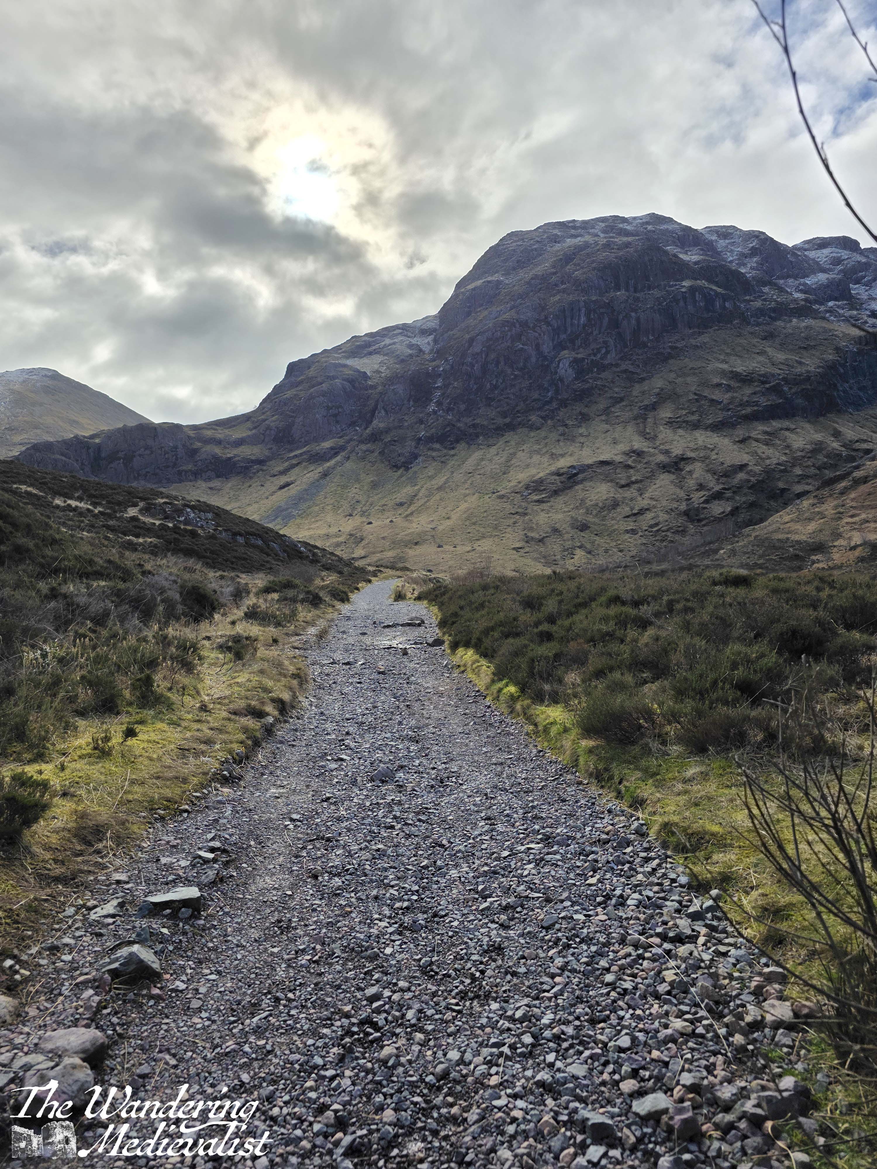
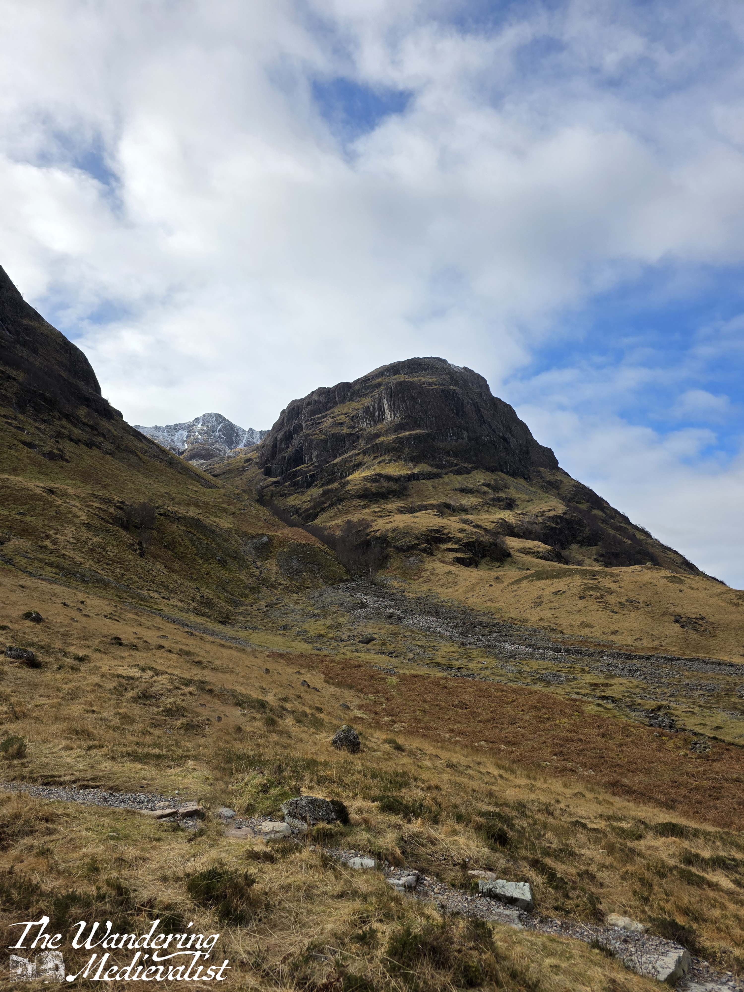
From here, it really is just a steady climb, varying from gentle to quite steep, climbing up small boulders and stone steps, sometimes open but more often surrounded by lovely stands of birch, gorse, and heather.
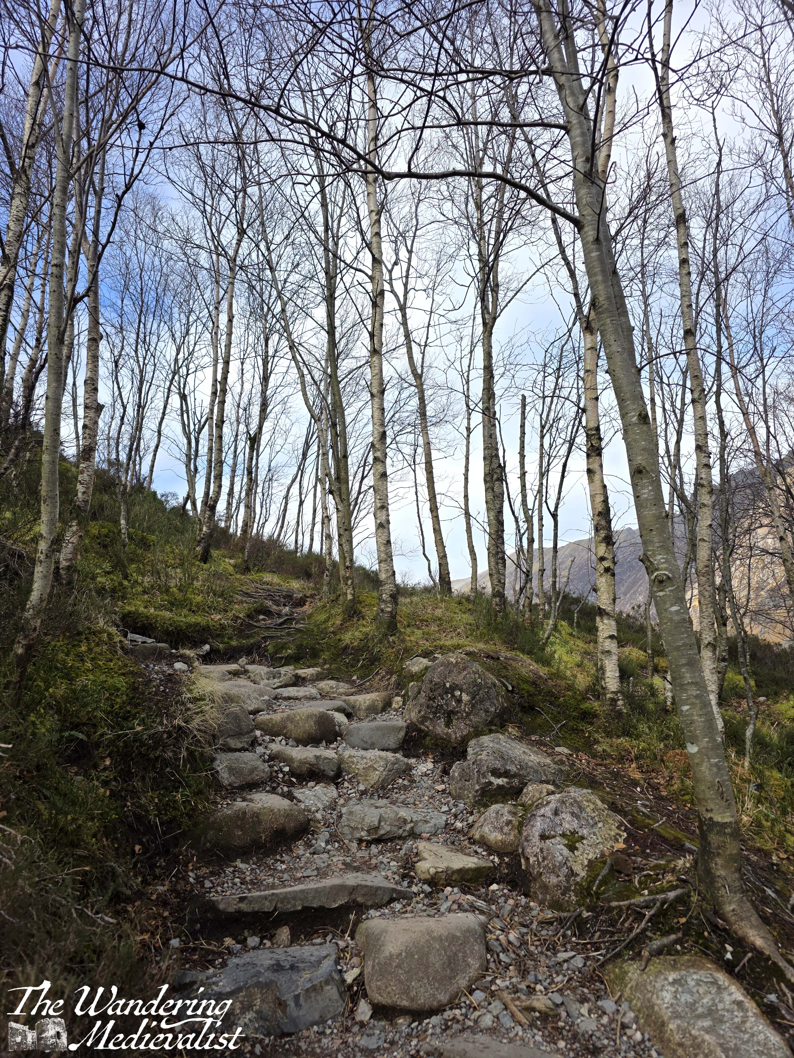
As you climb, the open areas begin to offer really excellent views towards the car park and over the valley, as well as a different angle of the mountain than you see from the road.

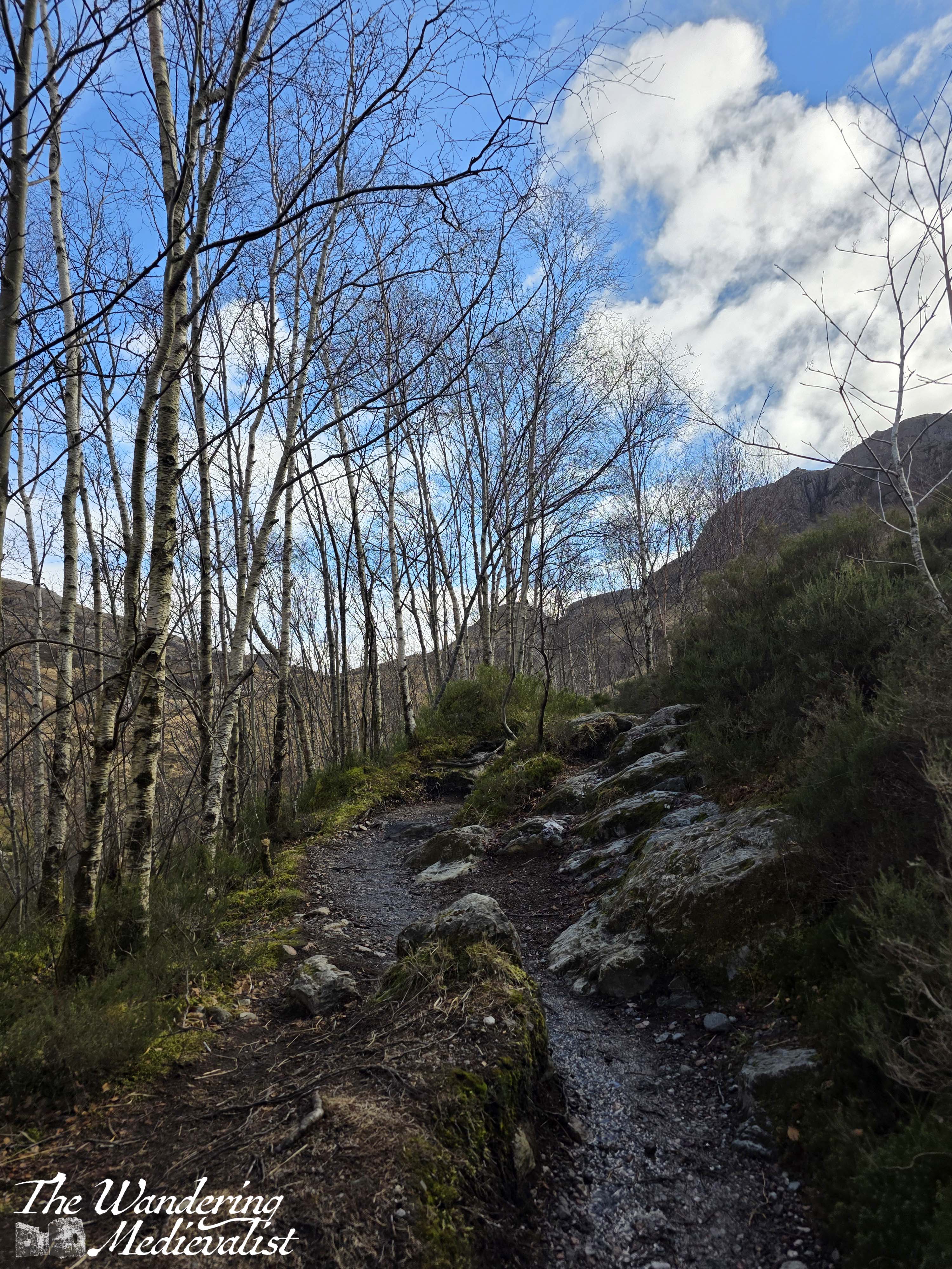
We hiked up this path for about half a mile before deciding that we weren’t quite up for the whole trail. As anyone over 35 reading this will appreciate, down has become more of an issue than up, and neither of us were interested in injuring already testy knees. The trail continued to wind up relatively steeply from this point on, so we took a short break to enjoy the view before heading back down towards the bridge. The very steep section required a backwards approach, clinging to the rail, but we both made it without too much stress.
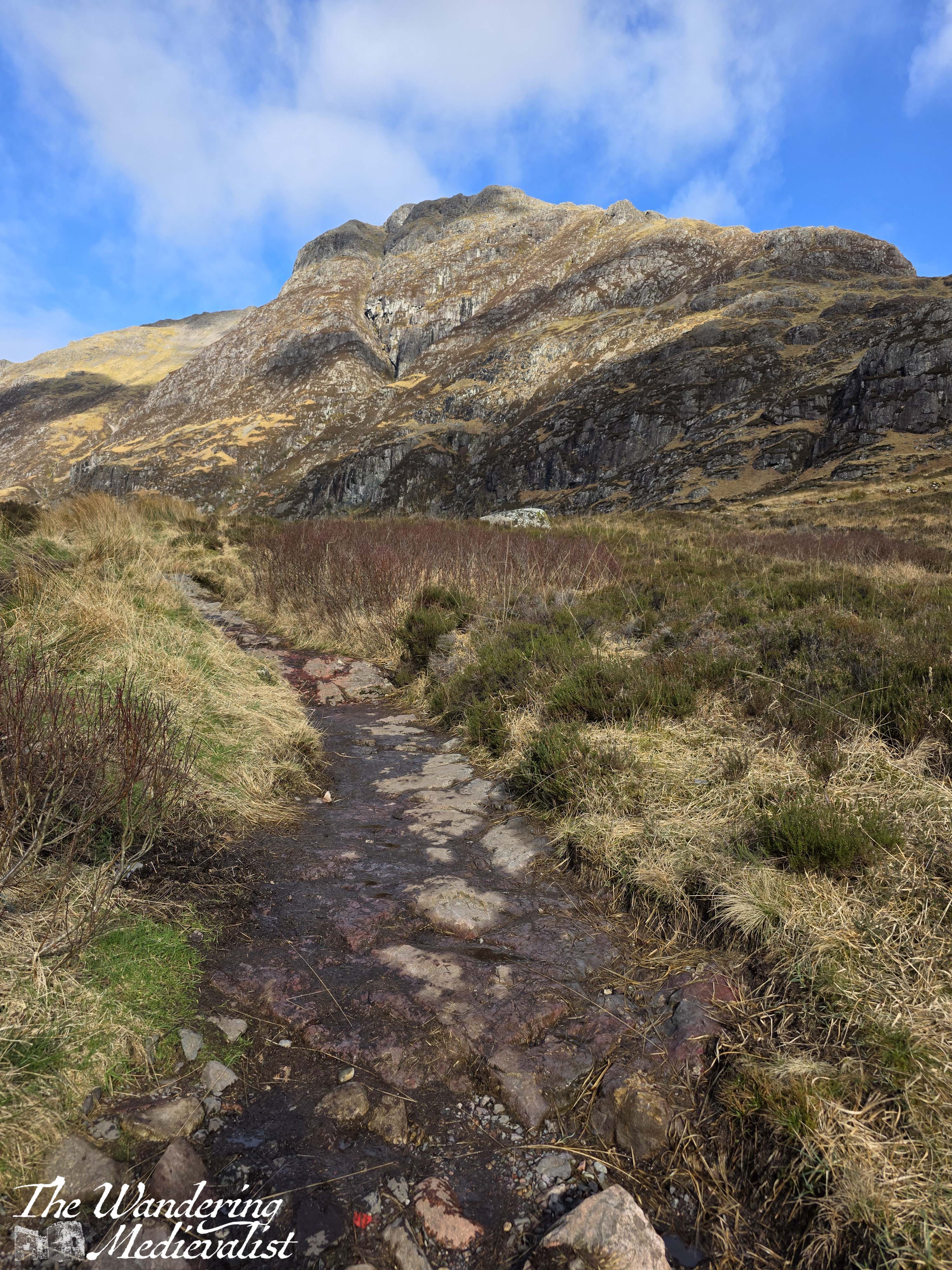
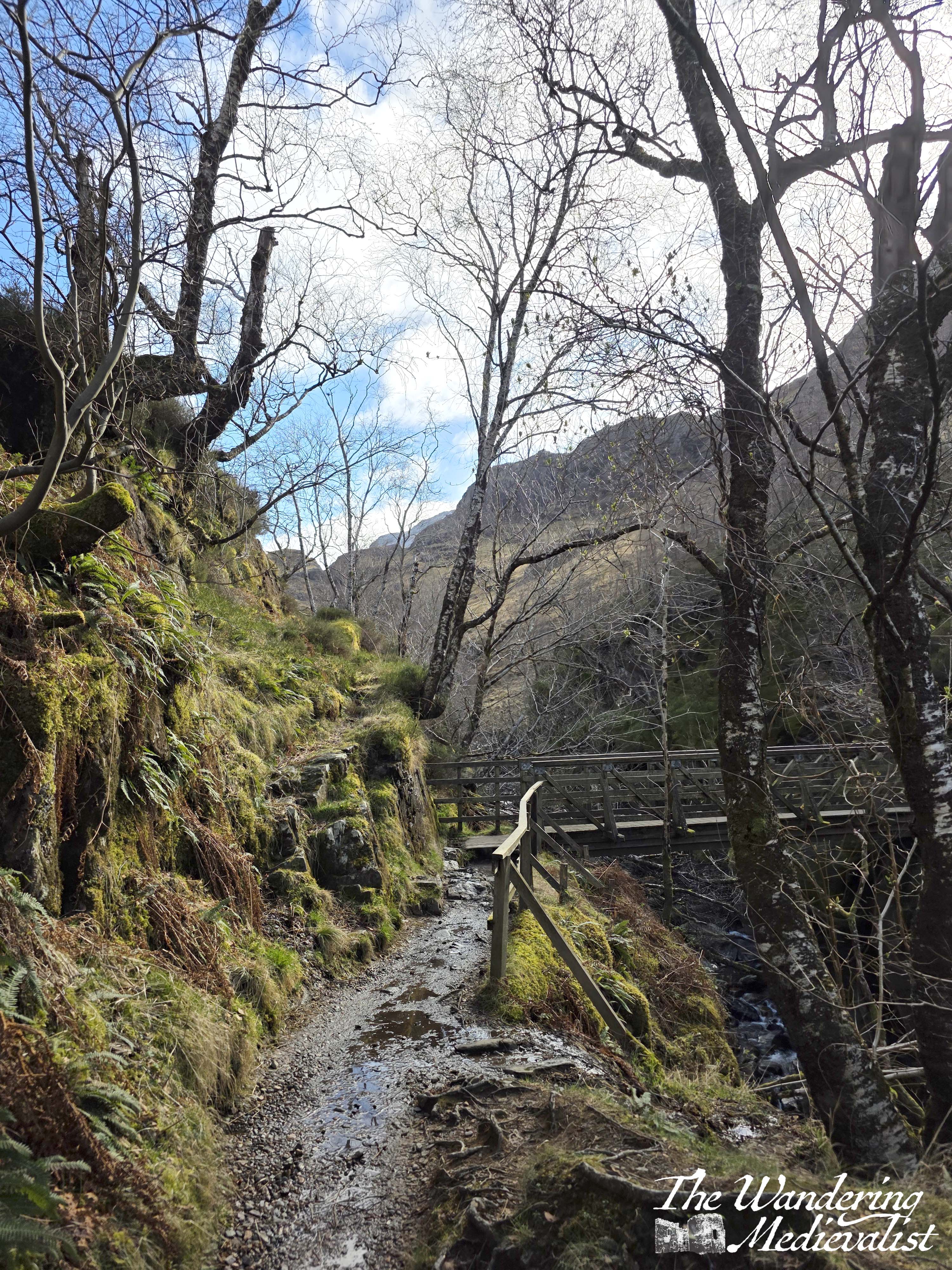
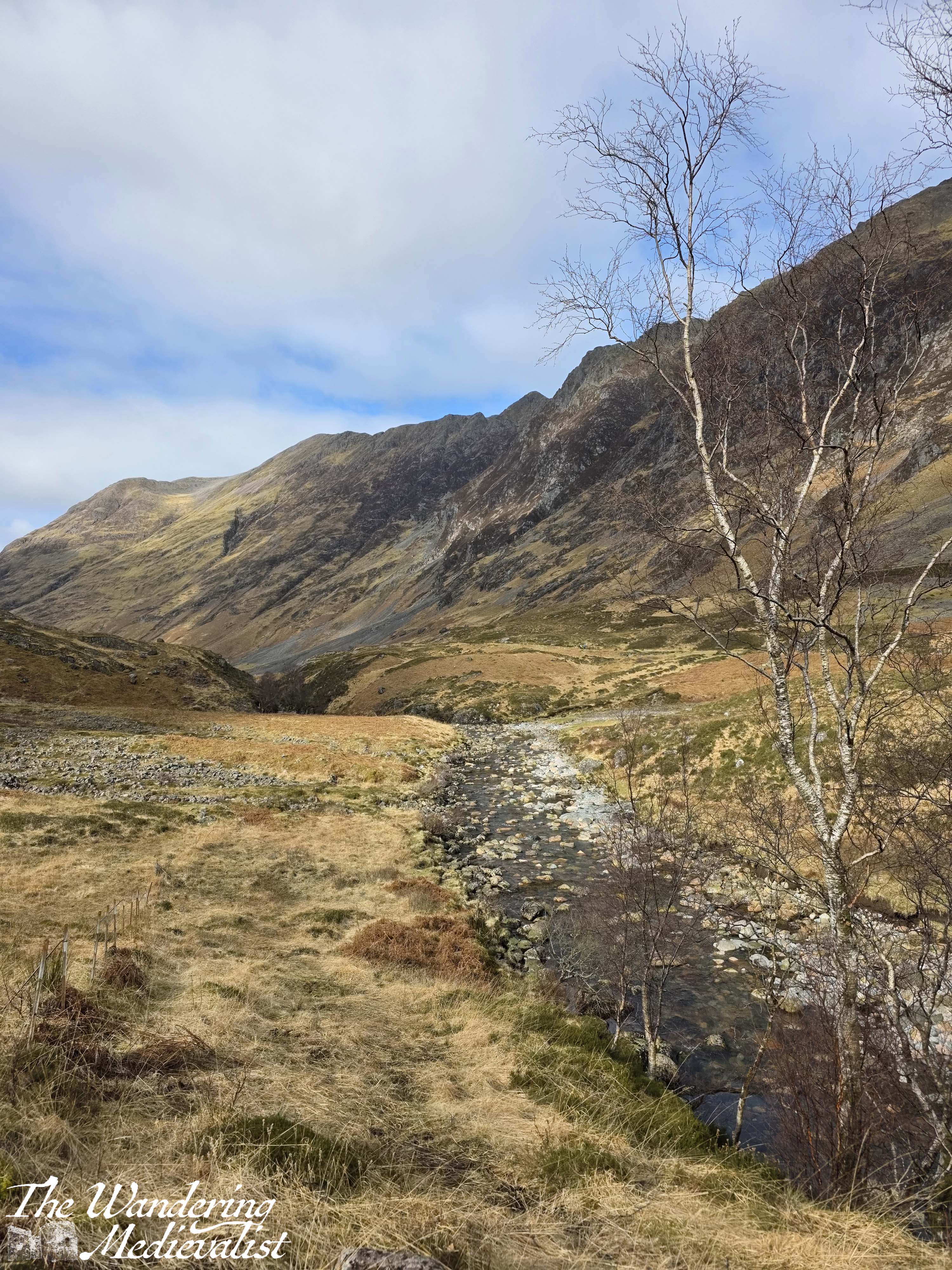
In time we re-crossed the bridge and made our way back to the main path, where we decided to turn west and wander along the flatter path for a bit. It meanders up and down gently, crossing a few burns. The views of the mountains are stunning, and the river is relatively flat with a stony bank.
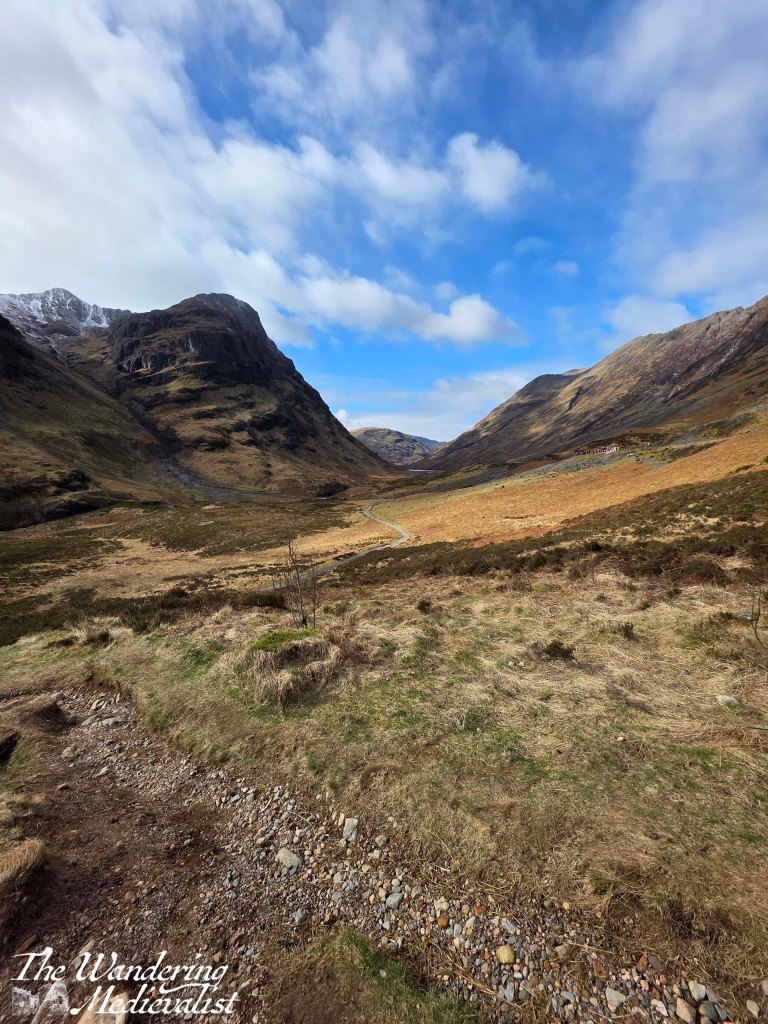
Perhaps five to ten minutes along this trail is a left-hand turn, and a trail that eventually takes hikers up between the two mountains.
We of course had no such ambition, but took the path anyway as I figured – correctly – that it would lead us to another scenic bridge. Sure enough, about a quarter mile in, we reached a viewpoint up the glen, complete with a cairn marking the Coire nan Lochan trail and wooden bridge. I appear to have neglected to photograph the bridge itself, as the view was a bit distracting.

I could not resist climbing a bit further so that we could take in the view from a few hundred feet above, looking over the glen in both directions.
It was tempting to want to keep going either up or along the valley, but the steep uphill climb of the first part of our walk had taken more out of us than we would have liked, and so we meandered back towards the car. The final push up the steep bit of scrabbly hill to the car park was a bit more challenging with several cyclists and tourists coming the other way; in total the whole walk was just over two miles, and after a short drive back into Ballachulish we topped up our step count with another short walk along the loch. (Note, sure enough, our car had been blocked in when we reached it but the gent with an enormous truck was happy to move long enough for us to get out – and for him to nab our spot.)
The early section of this walk starting the Lost Valley route was steep and reasonably challenging, but the second half of the loop was very pleasant and easy walking. I have a wish at some point also to walk to Loch Achtriochtan, though the latter part of that trail appears to be close to the highway, so perhaps of less interest. This part of the A82 is nearly always busy – even at night, as we learned – and with large coaches, motor homes, and trucks added to the normal car traffic, so walking close to the road does not appeal to me.
What I refer to as our Two Bridges trail definitely offers some lovely views, a bit of exercise, and an option to lengthen in almost all directions, even if you do not attempt the longer trails. I hope you enjoy it!
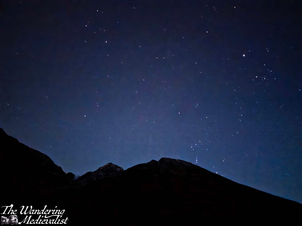
As a bonus, here is a night sky picture of Glencoe I took that evening, with the full moon behind me.
Enjoying my pictures? Check out my online shop!