July was a hectic month, and I knew August would be similar – though I’ve managed a few days off to make sure I can complete another few miles – so I made sure that my one free weekend included a hike. As I’ve mentioned before, most of my routes are now a fair distance from home, and as it was a Sunday, I decided to commandeer the car for the morning and drove to Aberdour in time for a train along to Dalgety Bay.
I’ll admit I really was not in the mood to drag myself out of bed for this adventure, but I am so glad – as always – that I did.
The train is only about 5 minutes and was absolutely packed, as was the free parking in Aberdour, though based on the people I saw around me, most were parking to attend a yoga or Pilates class. It was all very straight-forward, and the morning started off with a misty rain that we were desperate for, as it has been incredibly dry. Most of eastern Scotland is verging on official drought conditions, as we have had almost no rain at all in July – the East Neuk and North Fife were declared to be in Significant Water Scarcity by SEPA. This follows a warmer-than-usual spring and is paired with excessive warmth in England, where there have been multiple heatwaves. One of the most troubling outcomes of this scarcity is the uptick in wild fires – a recycling centre in Fife was on fire, Hill of Tarvit experienced a brief fire, the Cairngorms experienced a devastating fire that required the evacuation of at least one village, Arthur’s Seat in Edinburgh was on fire, and most recently fires in Suffolk in England threatened towns and a nuclear power station. I hope the worst is now behind us.
The train station in Aberdour is really lovely – an old Victorian style with decorative curled iron roof supports as in so many British rail stations. There is also an impressively bright and well-kept garden with hanging plants, rose bushes, and layers of landscaping.
I exited the train station in Dalgety Bay and immediately saw a sign directing me along the road for the Fife Coastal Path and St David’s Harbour, where I knew I was to start. This road is a bit longer than I had hoped it might be and included some up and down over hills.
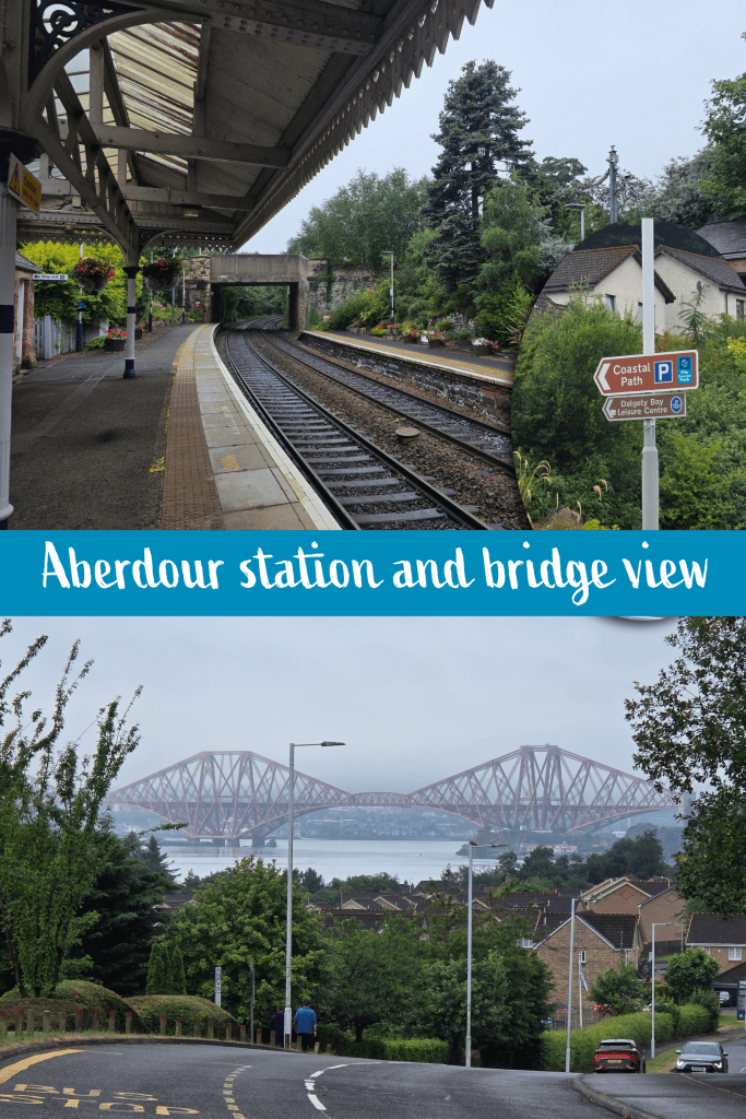
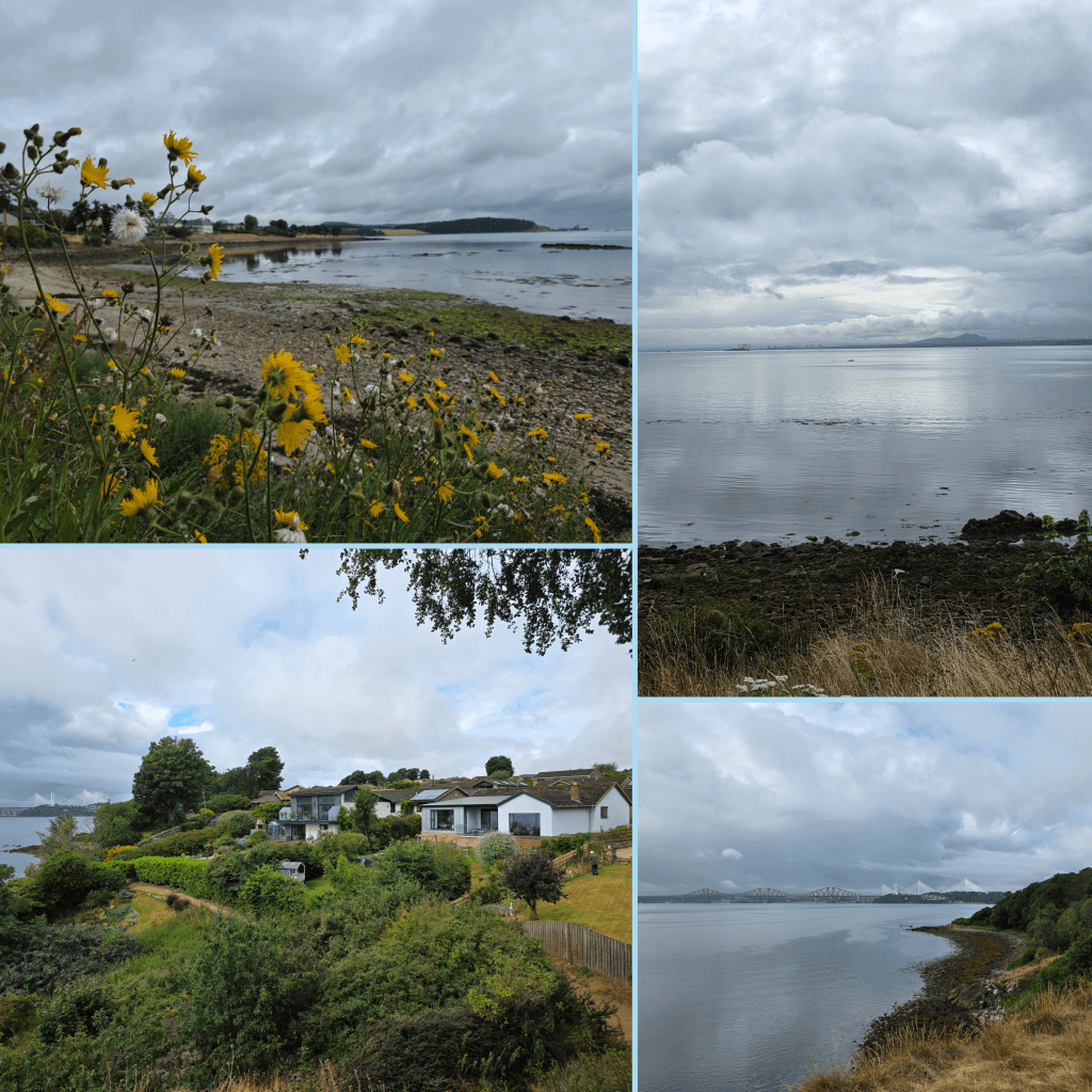
At the top of one of the first hills I was greeted by this view of the Forth Rail Bridge, and the road winds through some really lovely housing estates. The sun was fighting hard to break through the clouds, but I found myself frustrated as the longer-than-expected walk down to the harbour was eating into both the time and energy that I hoped to spend on the path itself. I had remembered from various bus trips to Edinburgh – back in the day when the bus looped through the town – that Dalgety Bay was incredibly hilly, and this walk reaffirmed that memory; the town hugs the side of hills and valleys, sprawling down towards the water.
Finally, after more time than I’d hoped, I reached the coast, officially starting my walk at the anchor by the water of St David’s Harbour, where there were great views of the bridges – this was to be a common site, and I am excited in a few more outings to walk under the bridges.
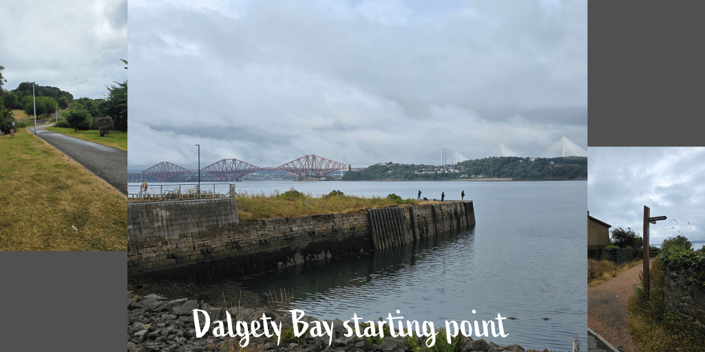
From the anchor, I followed signs for the coastal path through the car park of an apartment building, and then off up the path seen above, which winds through well-kept landscape. I think that picture shows well just how dry the ground was, the grass all prickly and itchy rather than soothing and cool. The air was sticky and humid, even after the sun succeeded in peeking through enough that I was required to dig out my sunglasses for a short time.
After a short walk through residential areas with some absolutely lovely large houses – I had forgotten how well-off parts of this area are, though it makes sense with its proximity to the city – I continued on the path that gradually makes its way around the bay, weaving in and out of woodland. The views are primarily of the coastline back towards the bridges, though across the water is of course the shore of Lothian west of Edinburgh and Hound Point, a marine oil export terminal where tankers can dock and fill up.

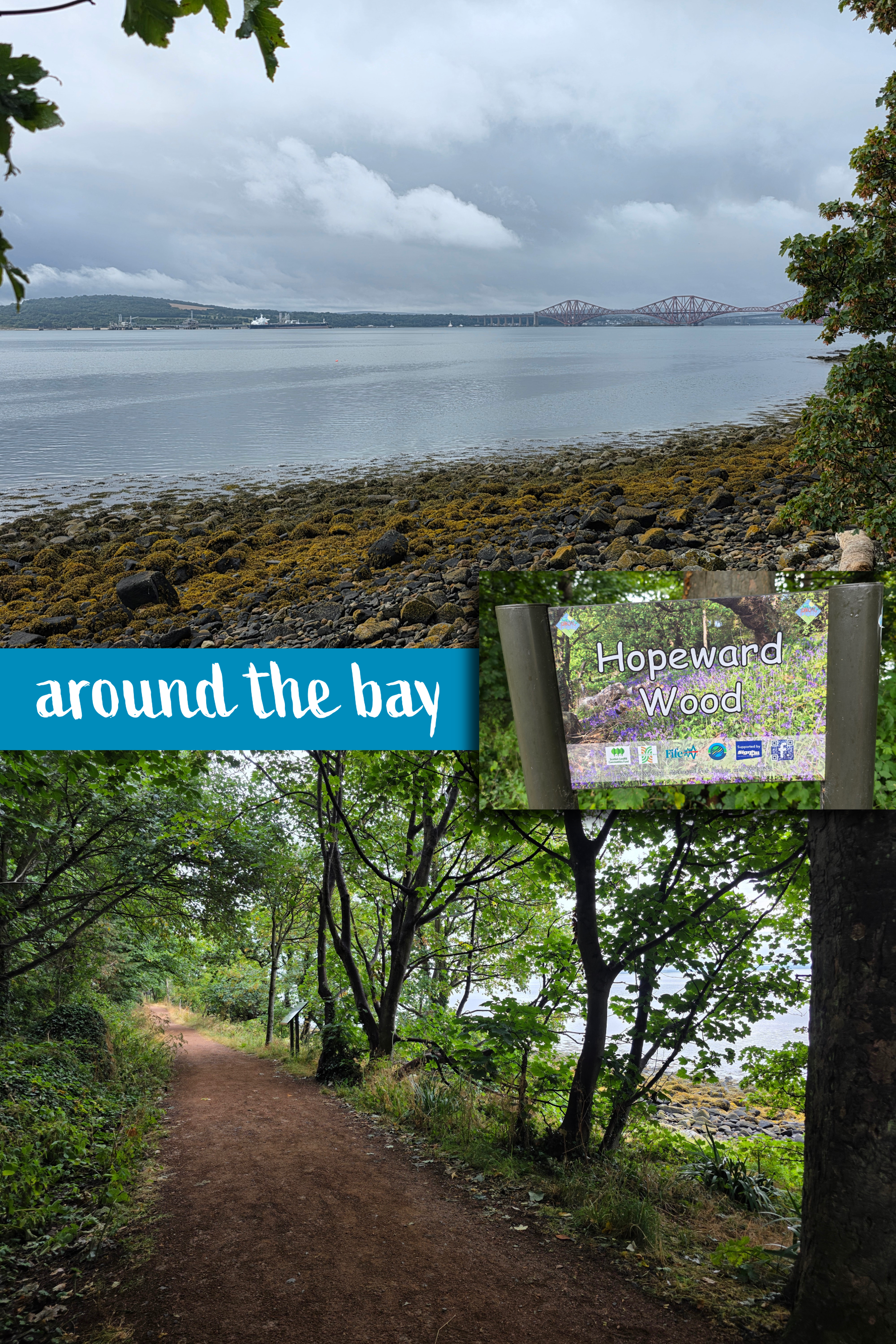
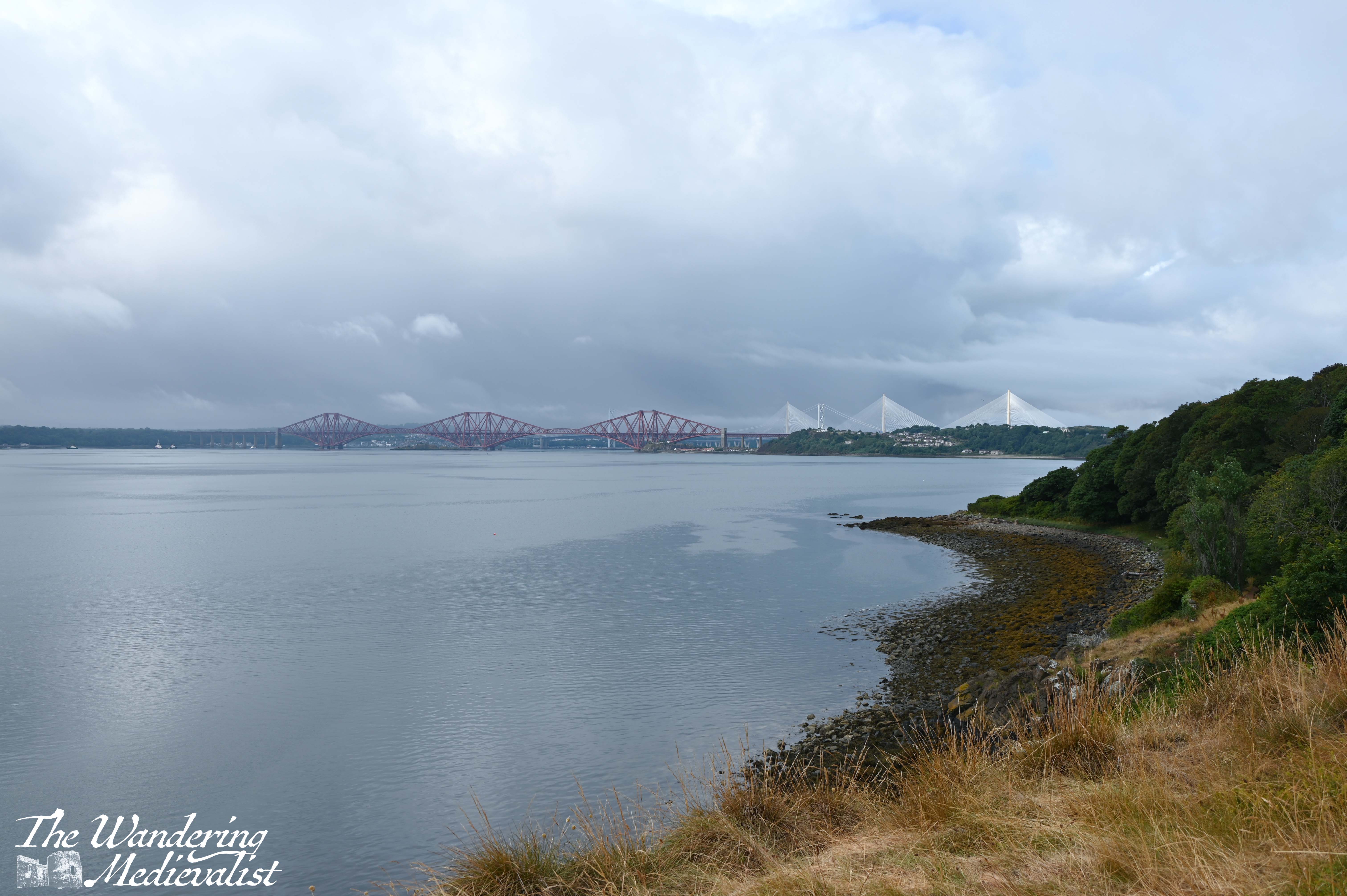

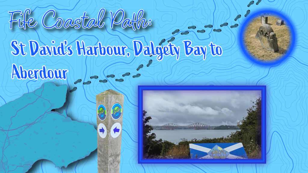
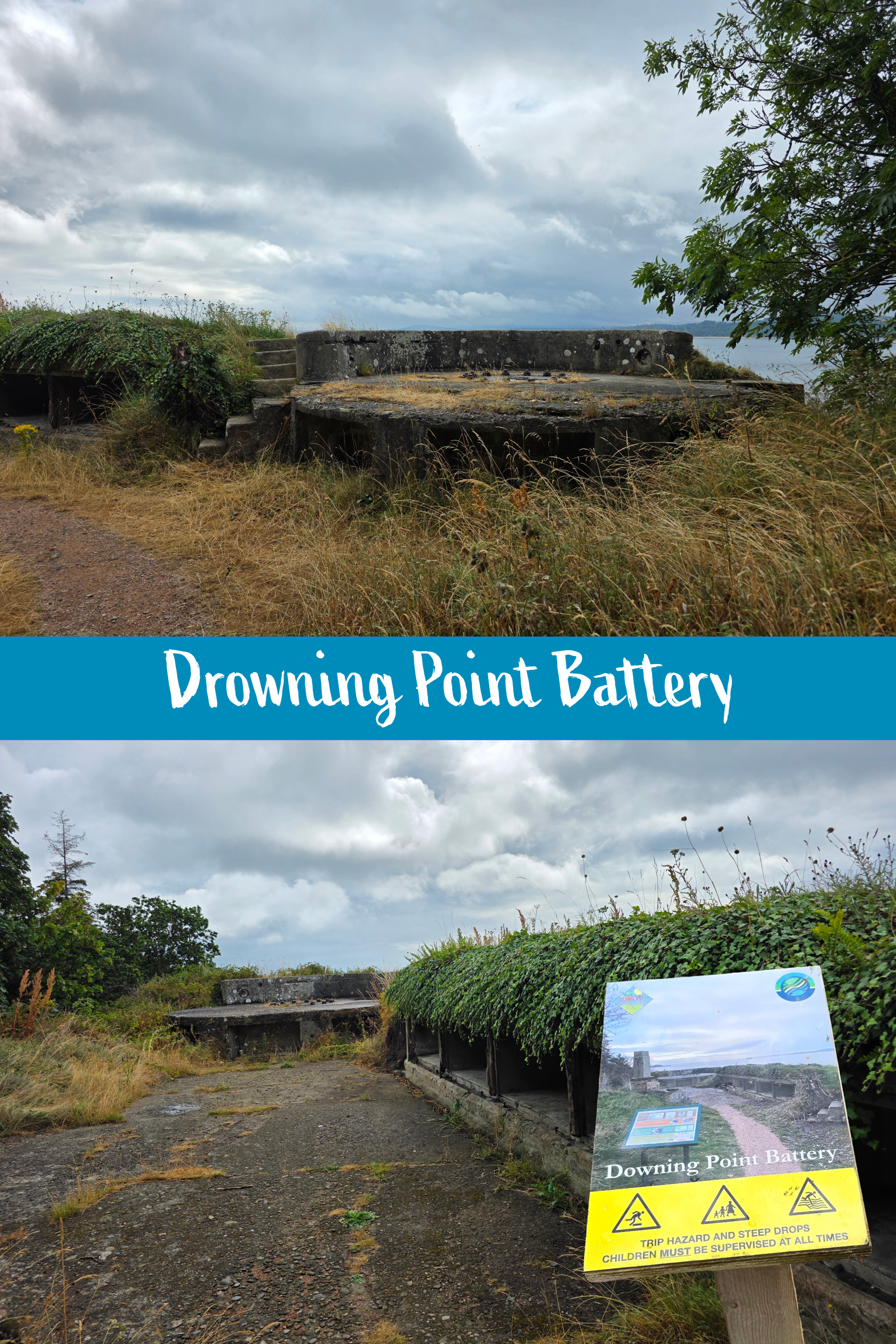
At several points there are short detours off of the main trail to impressive viewpoints. The first is the Heritage Viewpoint over the bridges, which you will see in the cover image for this post. The second is Drowning Point Battery, a World War I gun battery built to defend the Firth of Forth. At that point, the area was part of the Donibristle Estate belonging to the Earl of Moray – most of the estate has now been built upon as Dalgety Bay. To reach the Battery you must climb some pretty steep stairs, but the view is amazing in all directions. Just visible looking east is the outline of Inchcolm Island and its famous abbey.
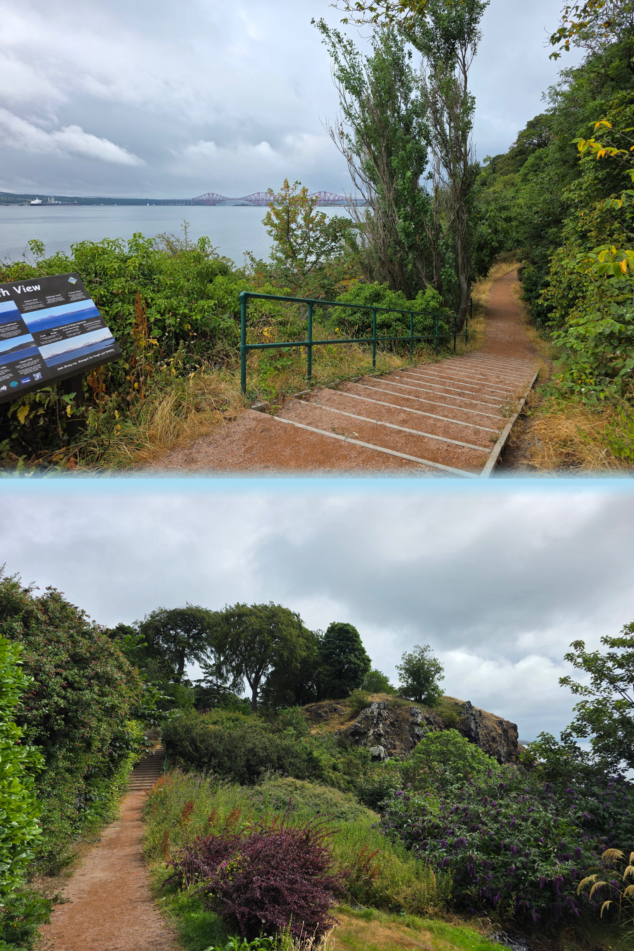
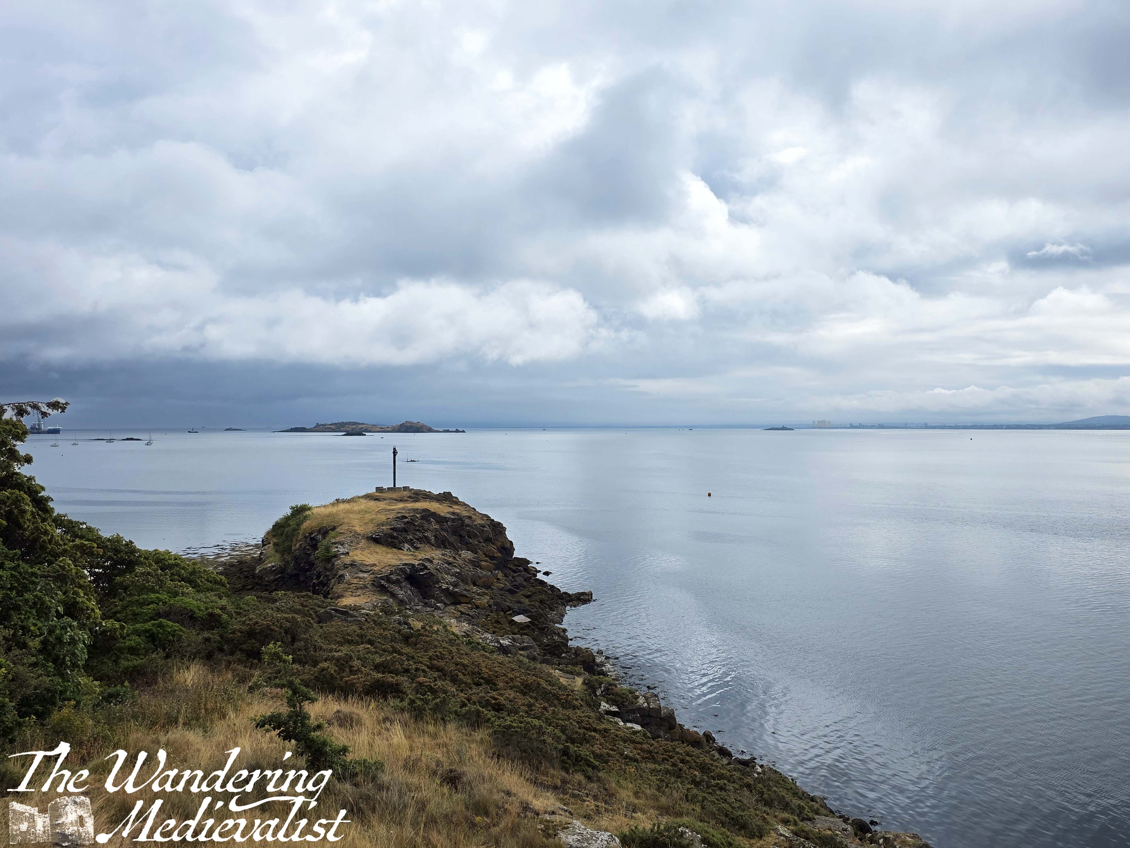
Something I continue to love about the Coastal Path is just how surprising it can be – even on a walk where you do not anticipate stunning views of further around the East Neuk, you find something equally impressive to enjoy. Even though I know this to be true, I am continually surprised. This route is very seldom boring.
One of the most notable changes on the day I walked was just how incredibly still it was. After several days of intense wind, the air was completely calm and Firth of Forth almost like glass in places – not a common occurrence. I was also delighted to be using a new backpack that I had been donated by my mother. It is an LL Bean small pack with an outer pocket for my camera – perfect – though probably is meant for a sleeping roll.
Descending from the Drowning Point
means that you have turned a corner and are looking up the coast along Drowning Point Beach. The views of the bridges are temporarily obscured. The path leaves the woodland behind and re-joins a road through the village.
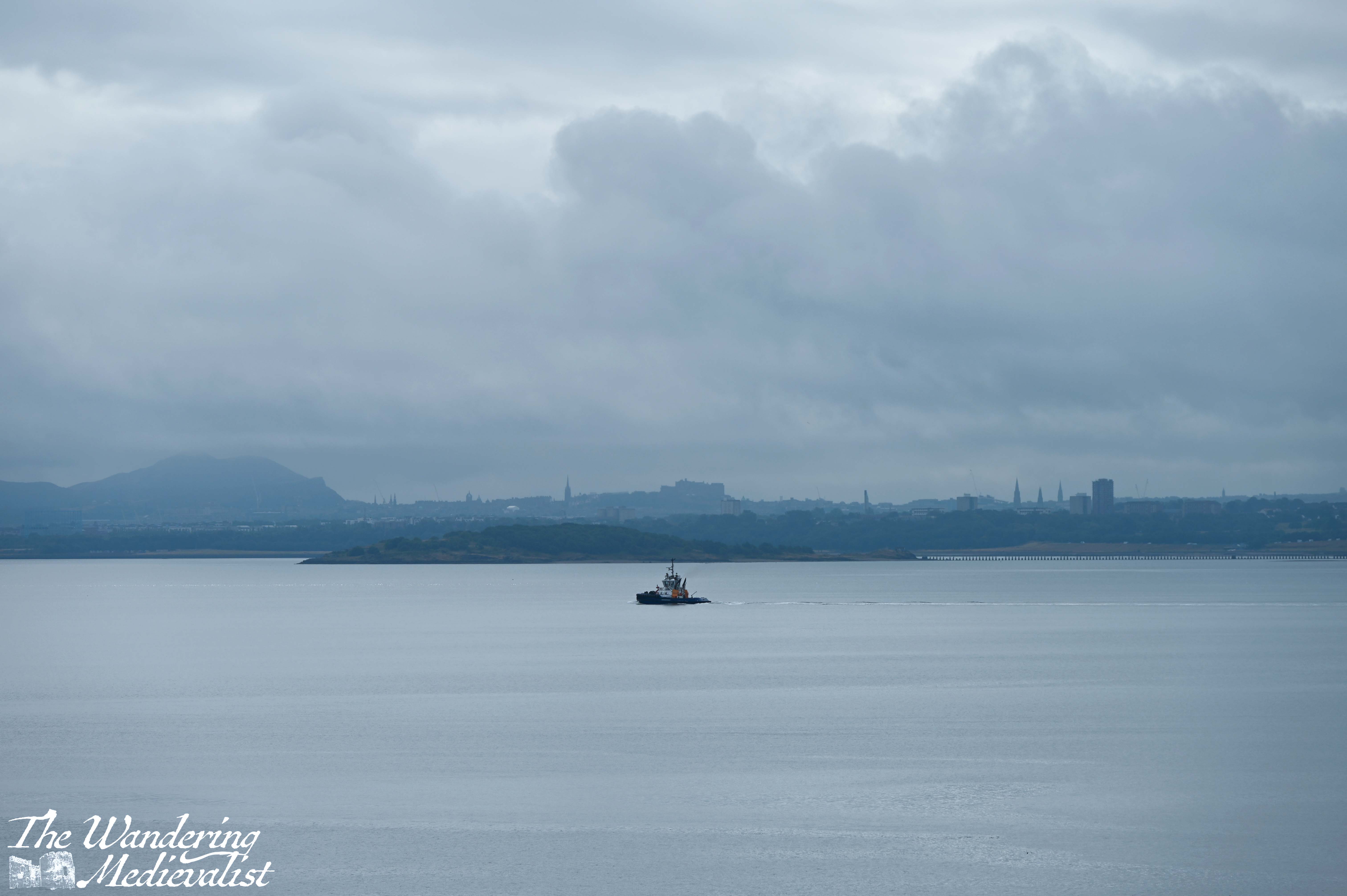
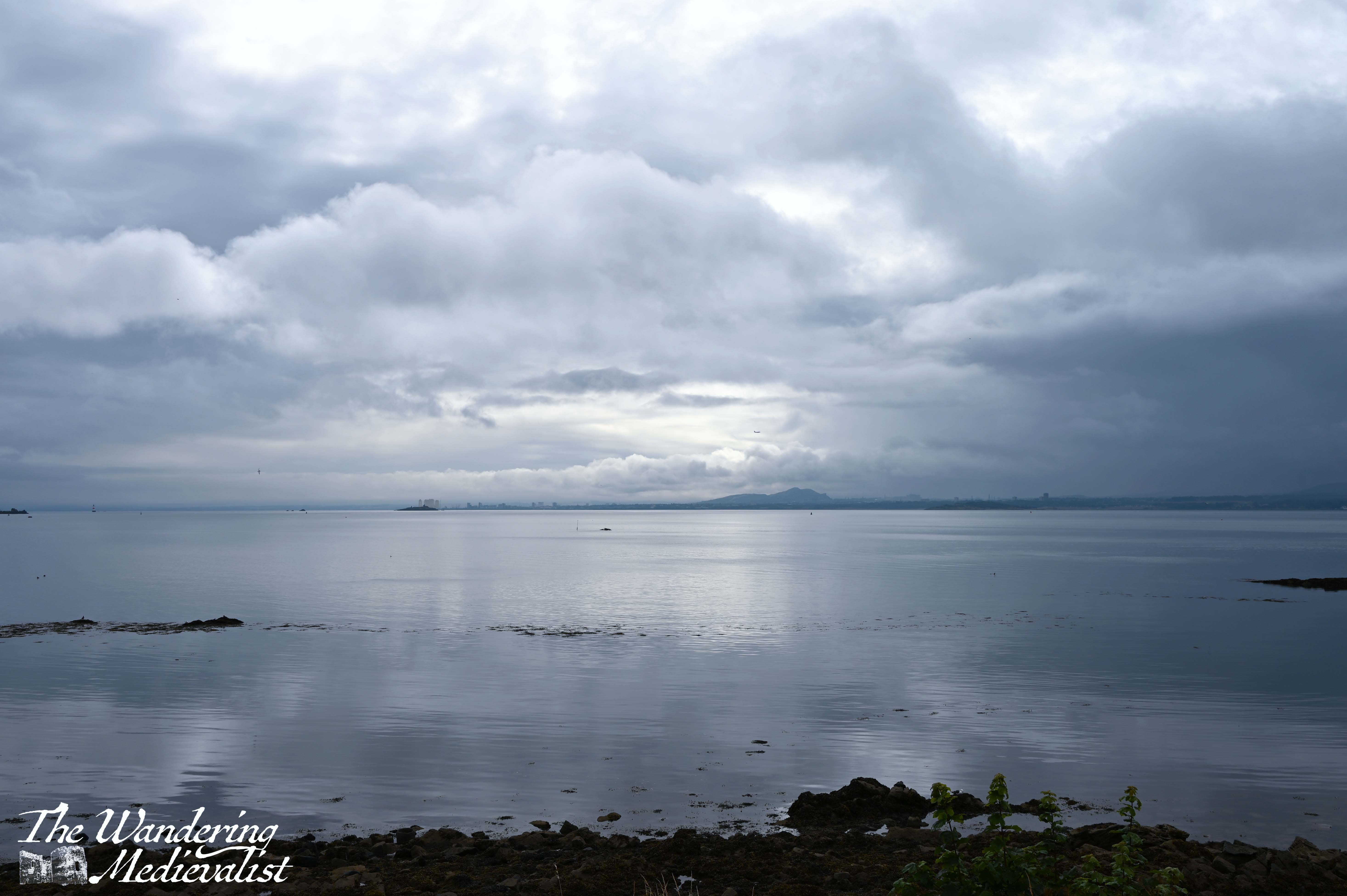
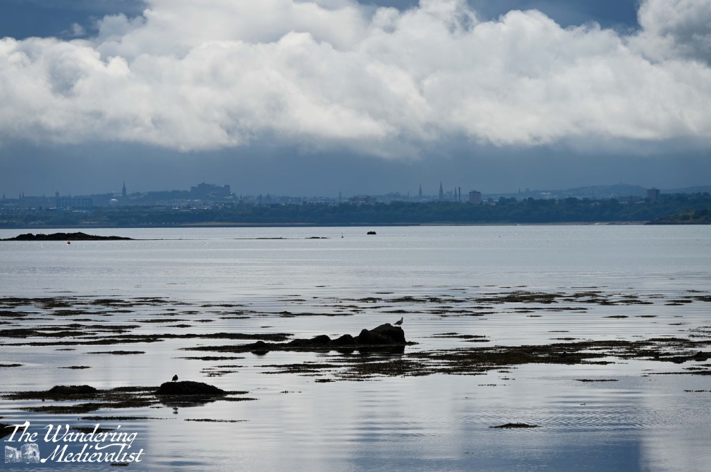
Across the water I could see that the sun was shining on Leith though it appeared to be raining in the city of Edinburgh proper, which was fascinating to see. I was also relieved that there appeared to be no more smoke rising from Arthur’s Seat, which had been plagued with wildfires.

As I continued to weave in and out of the housing estates, I was intrigued by a sign for Donibristle Chapel. It pointed off towards a path through the woods, with no real indication as to how far the chapel was.

My FOMO kicked in after a few moments though and I decided a detour was required; I was not disappointed!
This chapel was built as a private mortuary chapel for nearby Donibristle House and nine earls of Moray are buried here. There is no access to the roofless interior, but the clean lines of are very pleasing and the detour was only minutes.
After the chapel, the path passes through another residential district and then back down to hug the coast. This section is quite well-marked as long as you are paying attention.
Beyond the housing estate is the what remains of Donibristle House. This had originally been constructed in the eighteenth century though the main house burned in 1858. What remains has since been used by the Royal Navy Air Service during World War I, and in the 1970s converted to housing.
Housing with incredible views across the Firth of Forth, that is – it takes no time at all to understand why the Earls of Moray would build a great house here.
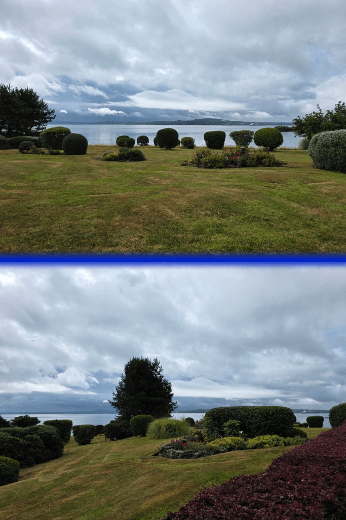
Around the old estate the gardens are well-manicured – if dry – and I can only imagine they would have been really impressive a bit earlier in the summer.
Winding through the gardens, one re-joins the road just in front of the impressive old stable block for the estate which is now also housing.
I was trying to take as much advantage of the view as I could, as I knew that at some point, the path would turn inland and cut across fields before reaching Aberdour. Shortly beyond the stable block is a lovely little park with an old quay and seats to sit and enjoy the view across to Edinburgh – if I had more time, I would have stayed here quite happily for some time.
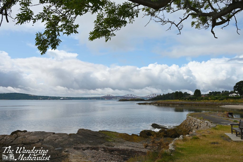


I feel I should mention that while I was not passing through any areas of high grass, I was also being careful to check for ticks on a regular basis. My understanding is that ticks do not like dry weather, though, so that is one advantage.
After enjoying the view and the banks of nearby sea roses and hydrangea, I continued on my way, turning slightly inland through a housing area and then into some woodland. Here I wished for a bit of breeze, as while there were not too many bugs, a bit of wind would have cleared them right away. Beyond the trees to my right was the beach where apparently radioactive contamination had been found – so I guess not having time to explore isn’t a bad thing. The contamination comes from World War II, when military planes from former RAF Donibristle were dismantled and buried on the beach, leaving behind radium-contaminated fragments. Massive clean-up efforts have taken place since discovery of radioactivity in the 1990s, and the beach is safe for use if not for digging.
There was also a recent alert that Aberdour Beach was not safe for swimming, but this suited me fine – I am not really a fan of long muddy beaches especially at low tide.
As I walked through the trees, I noted regular reminders that the coastal path is also – here – a National Cycle Path, and so walkers should be on the lookout for cyclists. One hopes the opposite is also true. Speaking of, is it just me that walks along perfectly normally until someone appears behind me? Then it seems I invariably trip over my own feet or become unbearably awkward. Might just be me.
I was a bit concerned that I had taken a wrong turn somewhere, as there were a few side-paths that were not marked, but a quick check of the map showed that I still had a way to go before I reached St Bridget’s Kirk and the turn inland. While I was worried I had missed the kirk, I was equally a touch dismayed to realised how badly I had misjudged my distance walked. In fact, I seem to be oddly inaccurate with distances while walking, which is not really like me – several times I have checked the map to discover that I am either much further along than expected or not nearly as far as I hoped. The latter was the case this time, as I knew that the kirk marked a rough halfway point. I was fine physically, definitely had it in me to keep going, but I could feel the exercise that I had not done for a while. Plus, I had a good mile or more under my belt before joining the path.
After a short wander through the woods, ahead of me through the foliage loomed a stone wall. While there is a narrow path between the wall and the beach, it is quite clear that this is where the Coastal Path turns left, hugging the edge of the wall.
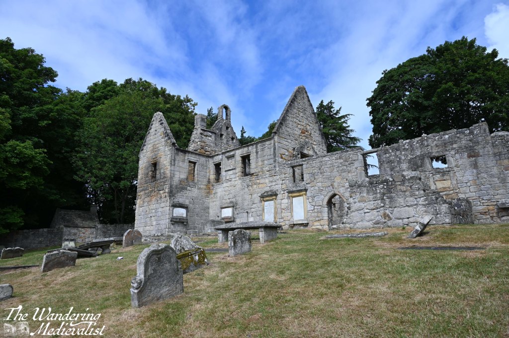
I have to admit to being really delighted with St Bridget’s Kirk. I am not sure what I expected, but this was a really great ruin that can be explored in depth. Stairs in several places lead up to the second floor or a view over the sanctuary, and there are grave stones of various ages and state of repair.
Originally built in the 1100s, the kirk served as a local parish church, with worship arranged by the canons of nearby Inchcolm Abbey.
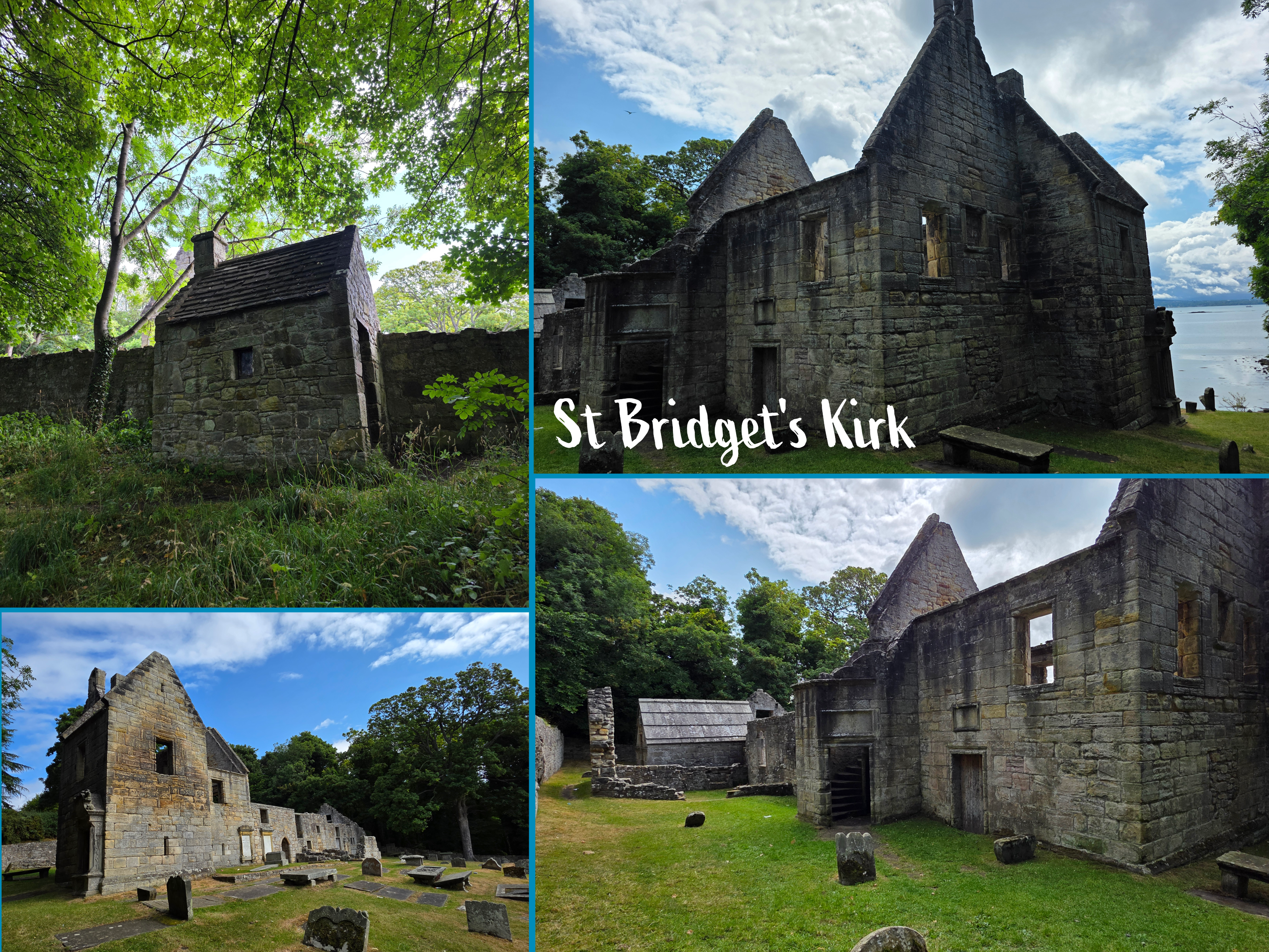

The kirk experienced a great deal of development after the Reformation in the 1560s, and was eventually abandoned in the 1830s, when the congregation moved to a new site. While I am sure there were reasons, I cannot think of a good one, not when the views are so excellent across the Forth and out to Inchcolm. I suppose this was less important post-Reformation.
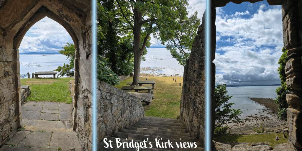
I did pause here for a short time, having some water and catching my breath a bit, but I knew I still had a way to go and the day was ticking on.
So, off I went along the edge of the wall and then onto a road that headed straight inland, as expected. This passed between the housing estate and the field, with a gentle incline up to the main path.
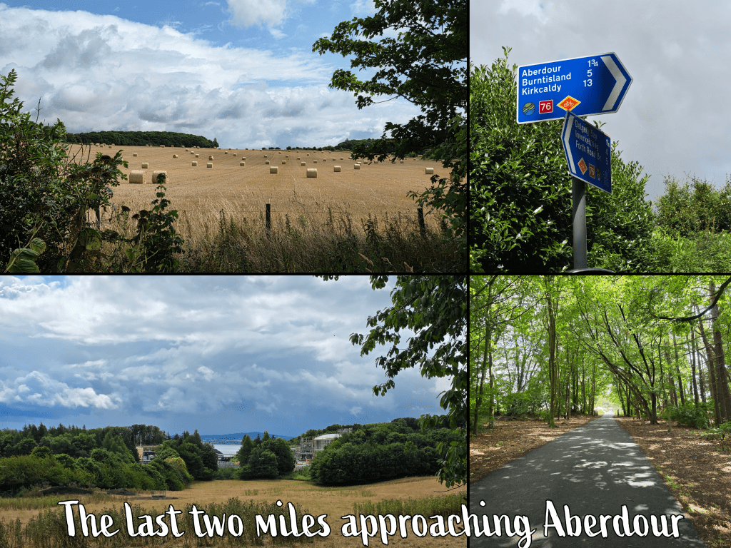
Upon reaching the path, I found the above sign, indicating Aberdour just under two miles away. This wasn’t quite the news I was hoping for, and I started to wonder if I had bitten off a bit more than I was ready to chew, but I really didn’t have any choice. My pace was slowing and I was feeling tired, but a gentle breeze had started as if to keep me moving.
I kept myself busy, thinking about how glad I was that I did the walk in this direction and did not leave myself the big hill in Dalgety Bay to finish with. This is oddly becoming a sticking point with me – I have done most of my walk counter-clockwise along the edge of Fife, but I may need to break the trend relatively soon, as there are several walks that really have to be done the other way – including the last stretch, from Culross to Kincardine. The obsessive in me does not want to break this streak, but common sense tells me I have to.
I was also, by this point, becoming a little worried about the bathroom issue. The train station in Aberdour was closed on Sundays, and I did not pass any other public options. This is yet another issue with walking on Sundays (other than scarcity of public transport), which I normally try to avoid.
As I reached the level path and trudged along it, I passed a number of people out for Sunday walks, many with dogs, and a few paused to say hello or say good morning. One gent even encouraged me to keep going as I was so close – a lie, but a kind one.
Looking back towards the Firth, I could see that the rain had closed in over the bridges, so I clearly caught them at the best time, with a touch of sun. The rain was coming my way too, if the field of cows and sheep huddling under trees was any indication.
One of the more remarkable aspects of Scottish landscape, particularly in Fife, is how quickly it can turn from agricultural to industrial – in the bottom left of the four pictures above you can just see the machinery of Exxon-Shell Braefoot Bay, though between were fields of animals.
The closer I got to Aberdour, the darker the clouds became, and as I trudged on past the golf course, the clouds did open, drizzling through the trees and demanding umbrellas for the golfers. It was just gentle enough that I did not really mind or need to worry about cover.
Finally, at the end of the golf course, I met the main street, where I passed several open shops and cafés on my way back to the train station. I was tempted to pause, but really wanted to get back home where visiting family was waiting. I am very tempted to return some time soon to explore the castle and the town in more depth.
In total this walk took me just over two hours, though that includes a stop at St Bridget’s Kirk. It was a nice route – possibly nicer than I expected – and I am looking forward to a return to Dalgety Bay in the near future.
I’m not sure yet if the next walk will be near to the bridge area or filling in some of the gaps between Kirkcaldy and Leven, but I hope to make some good progress before work travel resumes in September.