
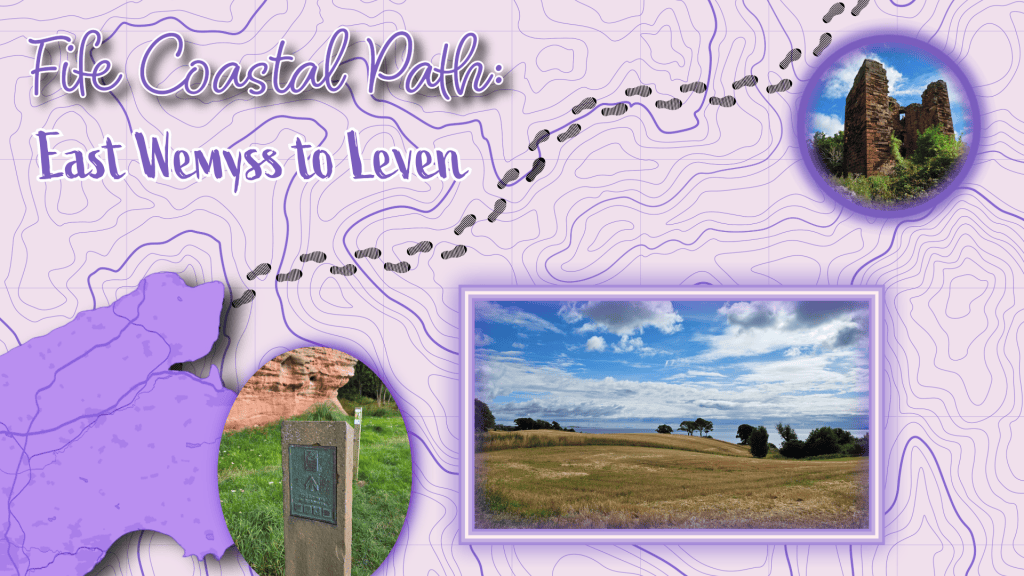
After an overcast day previously, I was happy to see this morning dawn relatively clear with bright blue blocks of sky between still significant clouds. This was a bus trip, fortunately an easy one-bus route from St Andrews directly to East Wemyss on the 58, though as I had learned last time, I would probably have saved some distance changing to the 7 in Leven. For whatever reason, the 58 only stops at a few stops in East Wemyss, one at the edge of the village and another a good mile or so further along. So, I got off at the distant one and headed off back along the high street towards School Wynd, where I had hiked up at the end of the last walk in this area.
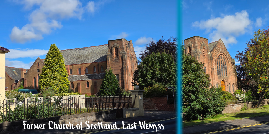
I passed this former Church of Scotland site, which echoed the experience of many churches across the country, slowly closing down and consolidating with others as the congregations shrink.
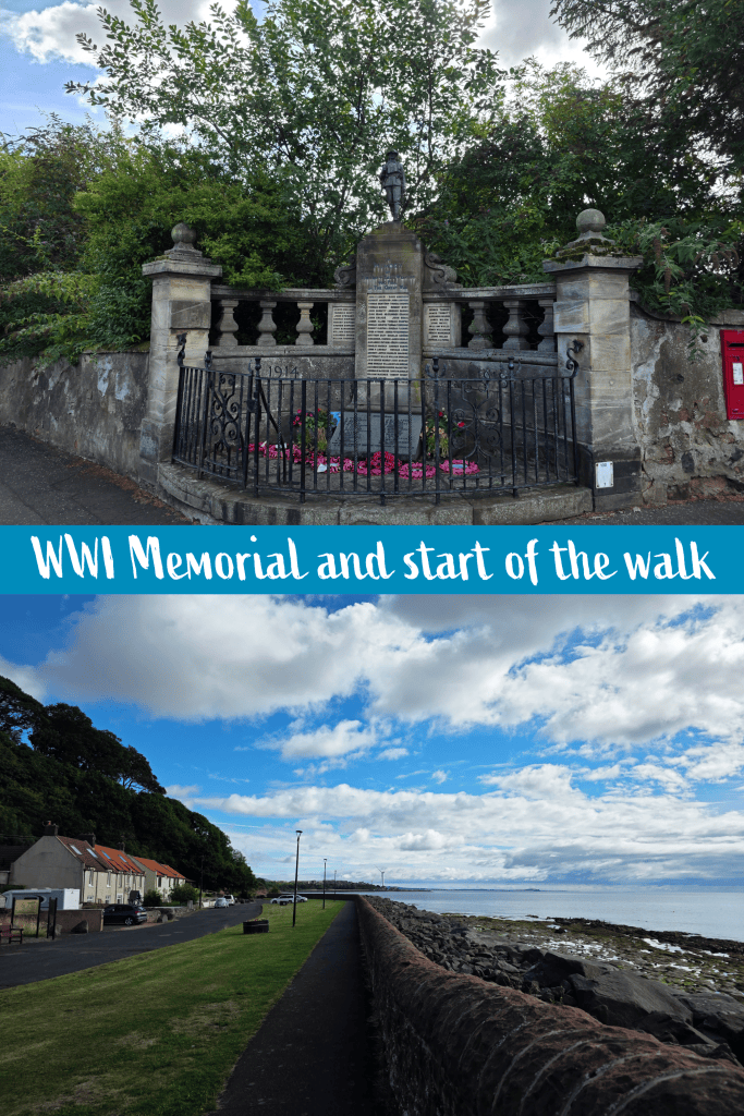
There was a good breeze to keep bugs and heat away as I passed the town War Memorial, and emerged at the shore at a large grassy area before the seawall. There are several memorials here to lost crews – including some quite recent – and to Jimmy Shand, a famous Scottish musician who played fantastic folk music and was of course born in East Wemyss.
I was even more delighted to note a small group of seals sunning themselves and resting on the rocks just off shore.
Frustratingly the sun was such that it was difficult to get a good picture of them, but that did not stop me hanging about for a few minutes in an effort to do so.
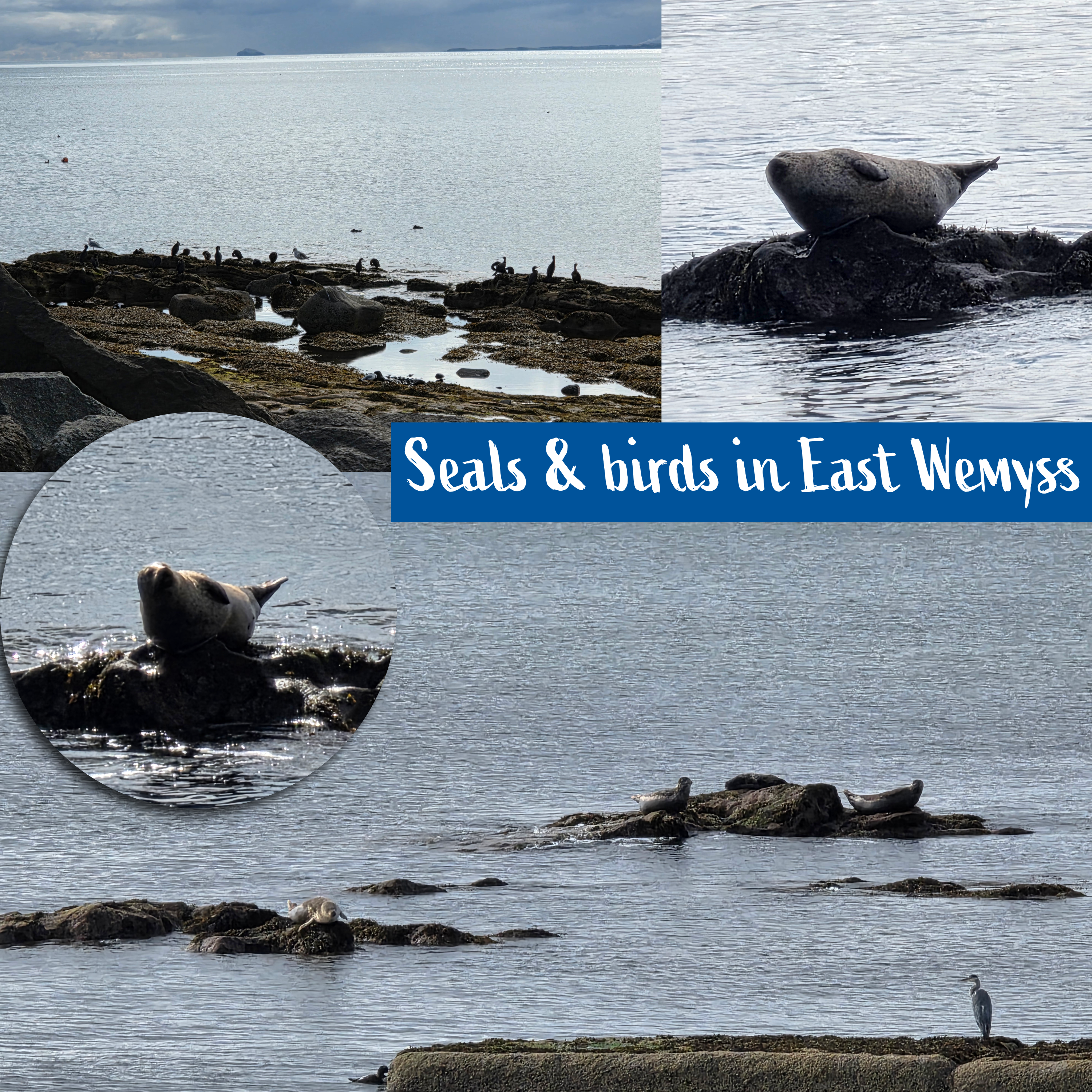
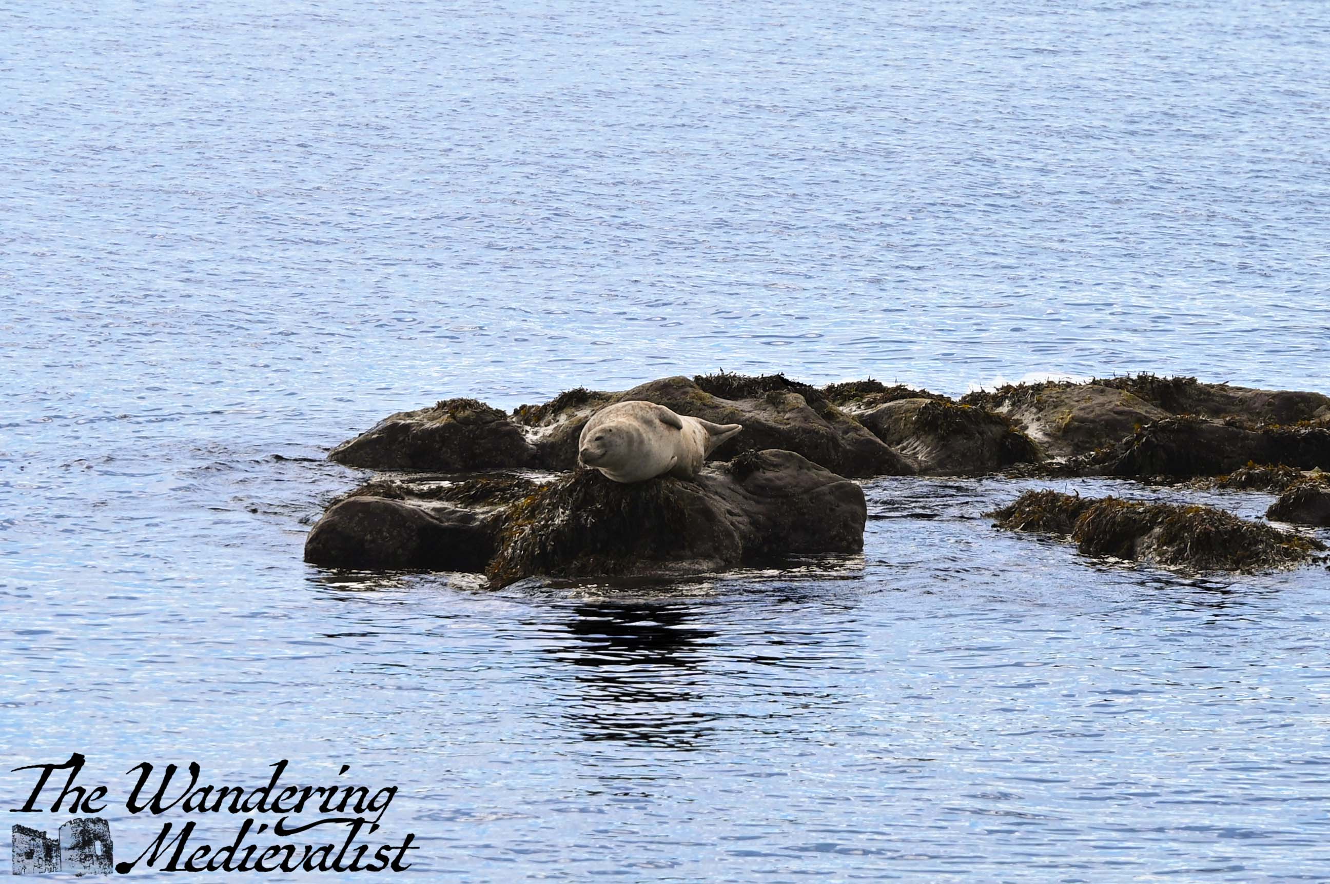
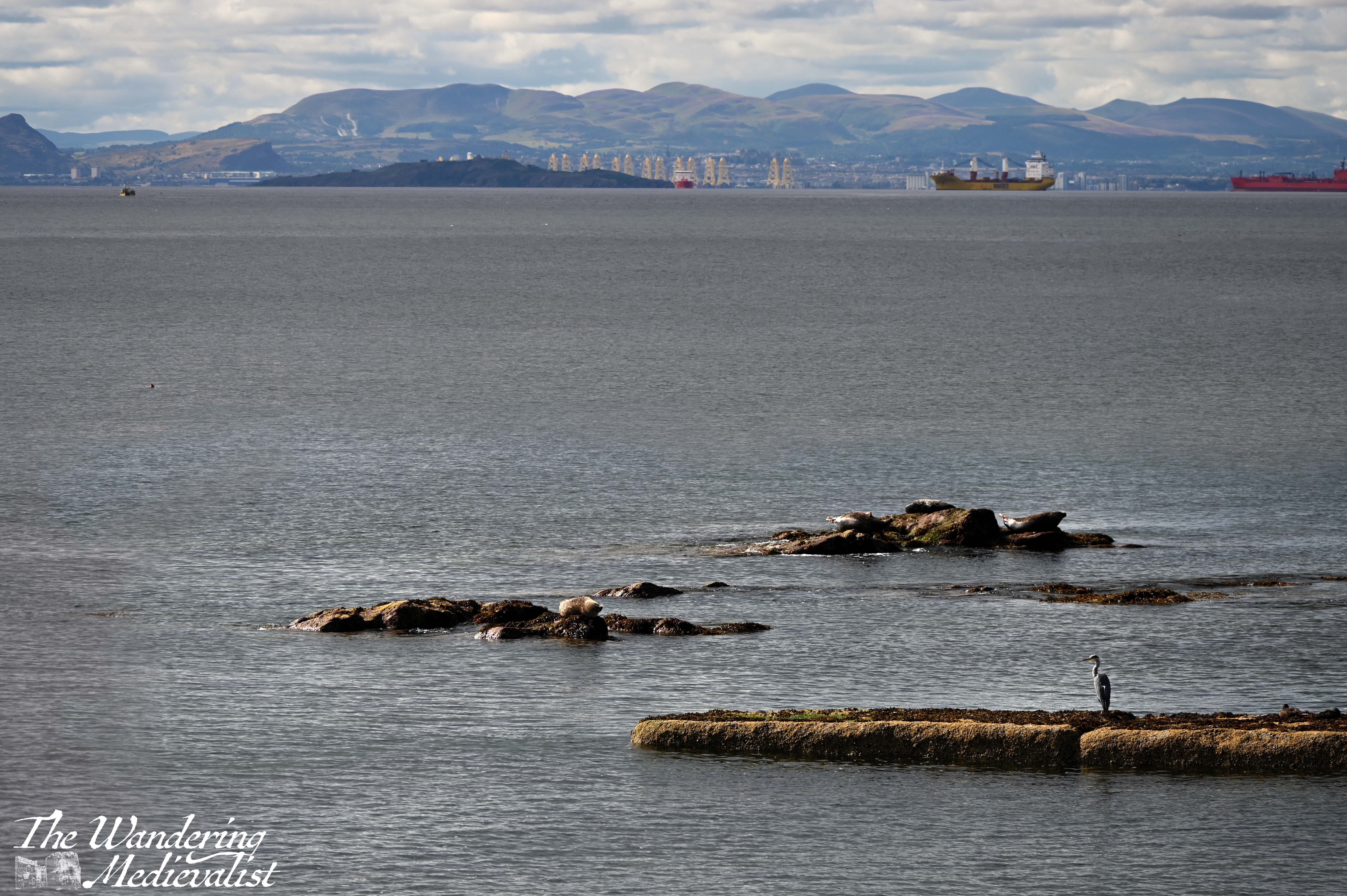
There was also a large group of cormorants or other sea birds nearby, and one large heron.
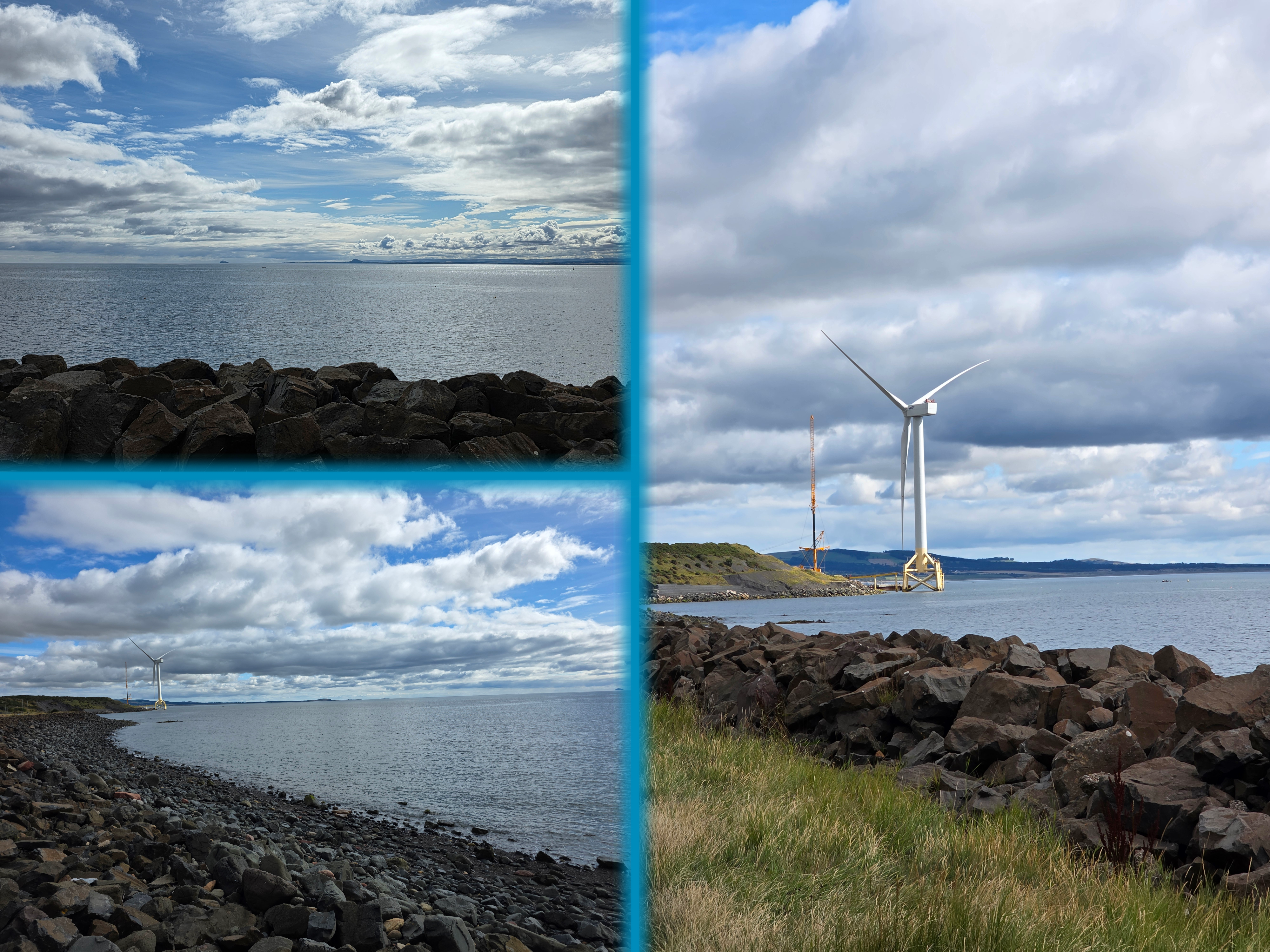
My Fitbit noted my starting the walk at almost exactly 10.30am, and I was hoping that I might reach Leven in time for a 1pm bus or so. On the horizon I could make out a massive wind turbine which I thought was in Leven but realised on this day was actually more likely to be in Buckhaven, so I expected to walk quite close by. From studying the map ahead of time I knew that a good portion of this walk was a bit more inland than coastal. I also realised after writing last week’s post that having this recording device means that I am rambling on to myself while walking, making my posts quite a bit longer. I may have to work on being a bit more succinct, but we shall see.
At the end of the sea wall, I noticed two things worth mentioning. The first was a small house with a Thai-style shrine in front of it, which makes me wonder about the occupants of the house. The second was a beautiful red stone cliff that had been carved and eroded by the weather and water, and is now being used as a sort of breeding area for pigeons; there were bunches of them roosting and flying in and out.
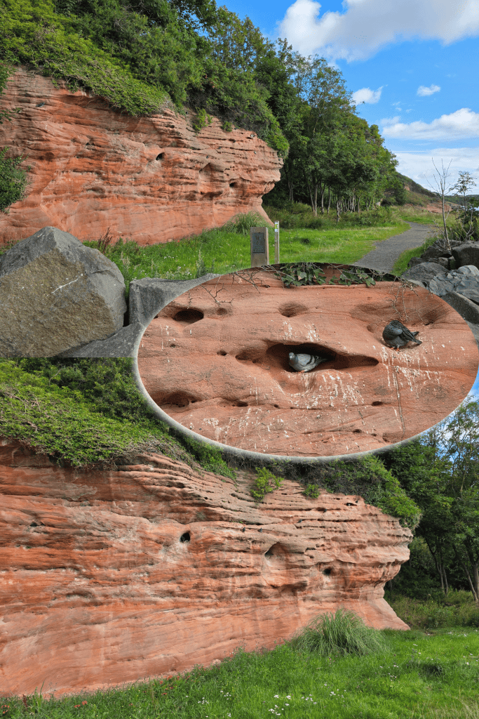
Here there is also a more formal metal Coastal Path plaque, confirming this as the route from East Wemyss to Buckhaven.
I did not realise it until I had passed the rock, but this face also protects the entrance to a much larger cave which goes back some distance, reminding me again of the Val McDermid book I had recently read that talked about these caves.
I wasn’t particularly interested in going in, but did make a note to come back at another time.
Particularly, I should note, when I saw a sign advertising guided tours – a much better option. Especially as the history includes artwork from the Picts carved into these cars, which sounds fascinating but also worth doing with someone who knows what they are talking about.
This is a really beautiful stretch of the walk, passing by soft red sandstone cliffs between foliage, cliffs that show lots of evidence of erosion by the weather.
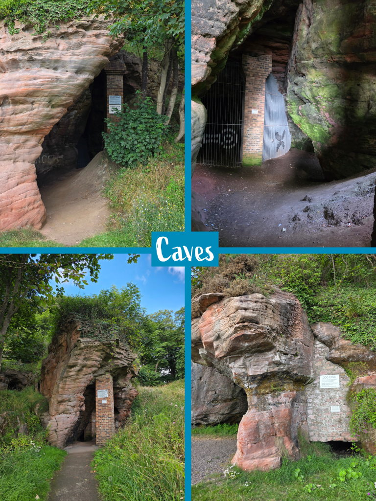
Shortly after passing the Doo Cave, which housed a dove nesting area carved into the rock, the path is directed inland and up, climbing to the top of the headland. This is likely due to the coastline becoming quite narrow here; it does not look like there would be a reasonable route even at low tide.
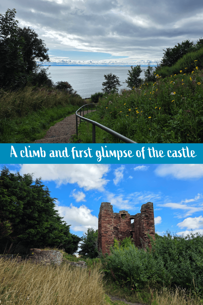
I had started the day in a light jacket, but there is nothing like a good stair climb to warm you up and get the blood moving. Sure enough, the stairs were a good steep climb and I paused at the top to stow my jacket and catch my breath a bit.
I took one backward glance towards the top of the steps to enjoy the view, but the better view – for me – was ahead, as I knew that MacDuff’s Castle awaited me. I was excited to take a short detour to explore this castle, which like the cliffs is made of soft red sandstone that has been eroded over the centuries. There isn’ much left but one wall of the keep plus two half-walls, but the style is purely Scottish and the outer curtain wall can just be noted.
The castle was said first to have been built by the powerful MacDuff Mormaers of Fife during the 11th century, during the time of the famous King MacBeth. The current ruins are likely quite a bit later though, built in the time of the Wemyss family from the 14th century onward.
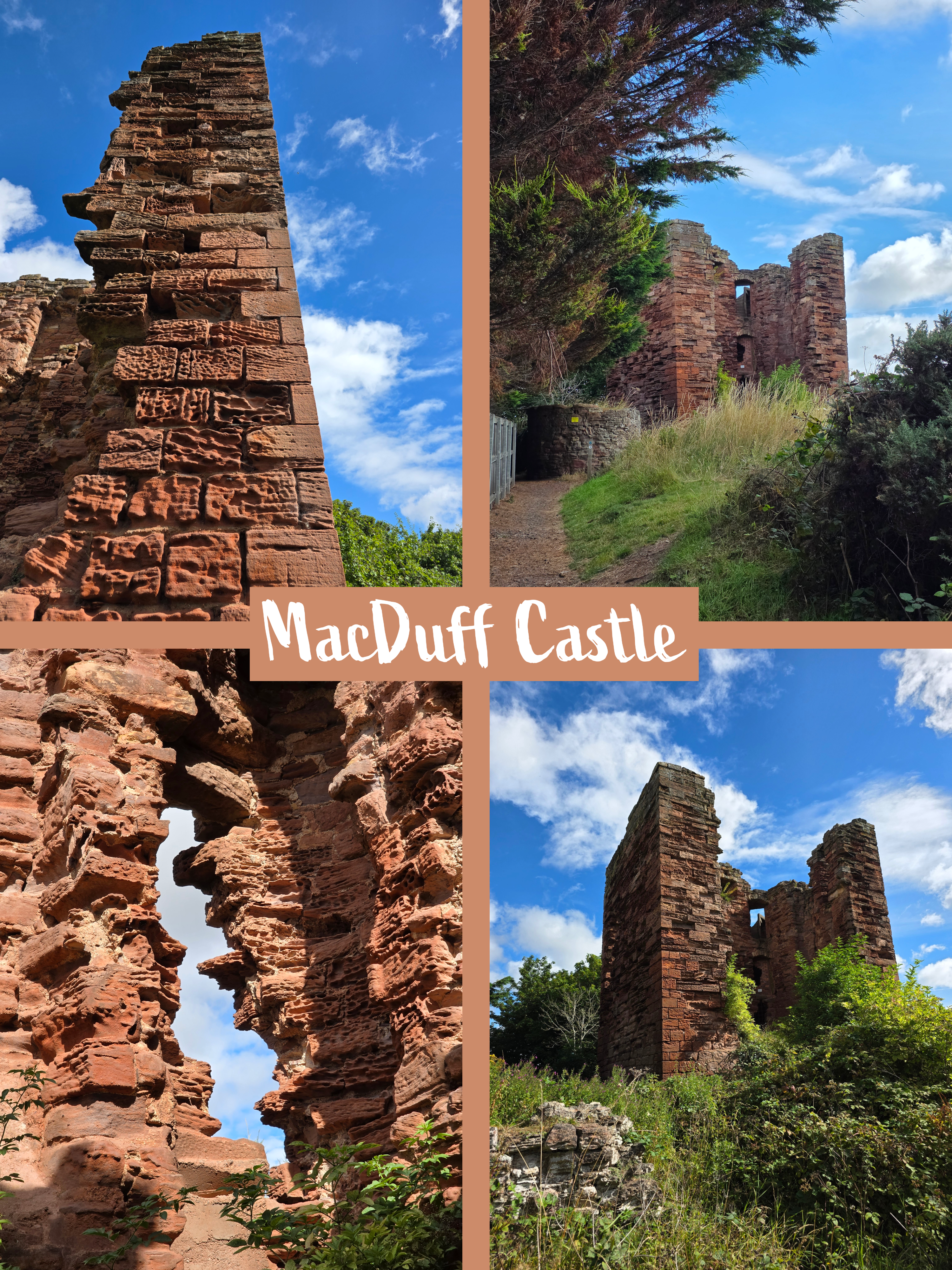

There is an access sign for the Castle Green as well as a Jonathan Cave, so there is likely more to explore, but I did not want to get too distracted. One funny item to note is that while taking a close-up picture of the castle wall, my phone seemed to identify the bricks and erosion as a QR code and tried to scan it – I wonder what it might have found?
So another place to return to, MacDuff Castle could easily be combined with visit to the caves. The site is directly behind Eastern Cemetery on the edge of East Weymss, easy to access.
Just beyond the castle, the path turns inland to follow the cemetery wall, with rolling fields leading town towards the ocean – a typical but no less lovely view of Fife landscape.
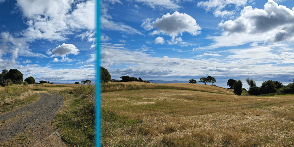
There is a clear sign here for the footpath to Buckhaven, just before the path reaches the main road, turning right across the fields on what seems like an old farm track – it is wide enough for vehicles here but quite uneven. It is clearly well-used by walkers and pets alike, as I passed several abandoned or lost tennis balls that had been well-chewed.
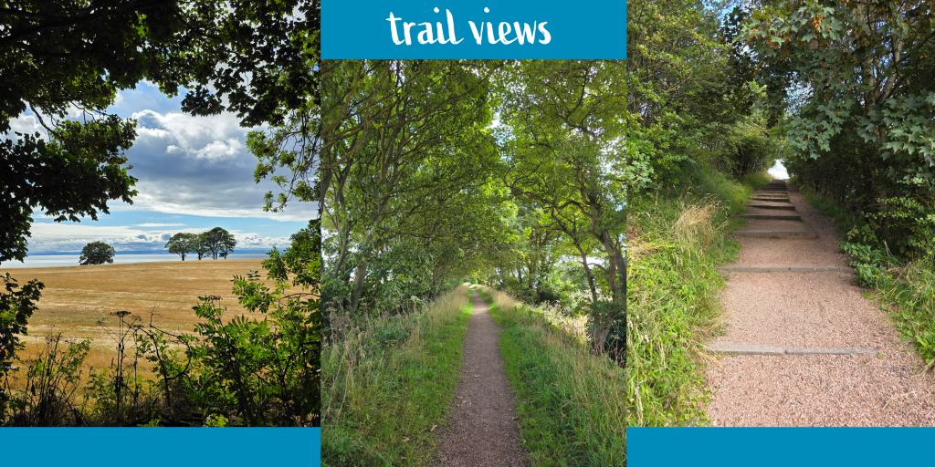
Further on there is some tree-lined cover from the sun, and I planned to make some progress finally and put some road behind me after loitering at the caves and castle.
As I walked I found myself reflecting on the bus trip from St Andrews, for which I had a quite uncommonly excellent bus driver. This might seem an odd thing to remark on, but he clearly knew the road incredibly well, aware of when he needed to slow down for curves, narrow bridges or towns, but confident as to when he could speed up. I was delighted to have a driver who was safe yet efficient, and quite disappointed when he got off for a break to be replaced by one of the only bus drivers in Fife to keep to the town speed limit even when on the open road. As I have noted before, whether on the 95 or the 58, busses through Fife inevitably pass lovely little towns like Lundin Links, Upper and Lower Largo, Elie, and more that are so pretty – makes for a very peaceful and pleasant ride.
The memory of the route amused me as I noted the farm track changing into a more narrow forest track, though still wide enough to keep me away from any clouds of bugs. Unlike some other stretches where walking between farms could be quite stagnant, there was enough of a breeze here to keep everything comfortable. While out scouting the day before to find a parking spot for a later section of the path, I had stopped to take picture of a church and been positively swarmed by bugs. Especially in summer, it is important to know when and how to get away from them.
As is evident in the pictures, there was plenty of blue sky buy also large banks of white cloud, though some were a bit darker and in the distance over Edinburgh were threatening. It would not be an entirely sunny day, but there was enough sun and light to make for some pretty views. Also, I like clouds – they make the sky more interesting.
The water in the Firth of Forth was incredibly calm again, and despite the cloud it was actually less hazy than on sunnier walks over the past few weeks. I could see, for example, the Bass Rock incredibly clearly, as well as North Berwick Law, another remnant of Scotland’s volcanic past. The path here is higher on the hillside than normal, making for an even better view.
There are several sets of gentle stairs going up and down, with concrete blocks on either side of the track that seem to act almost as gate posts. At random points I was being attacked by flying bits of thistle fluff that was catching the faint wind and drifting to a new home, or drifting right into my face. Occasionally I was sure it was a bug, but instead was just fluff that seemed almost like snowflakes or a butterfly – all fine as long as I did not inhale it by mistake.
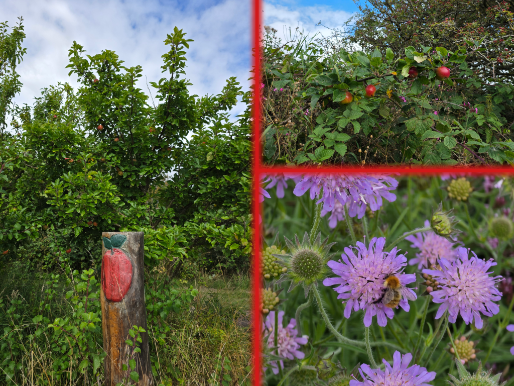
This was around where I first noticed apples growing in the hedgerow, and not on trees but almost on bushes that were interwoven with the brambles and other leaves – quite unusual.
The closer I got to Buckhaven, the more common the apples became, to the point where they had to have been intentional, at least in the first instance.
I was noting here that I was definitely feeling better about the walking. I think that my stamina was improving, as I did not go through that initial short period of exhaustion I had done on other walks. Or, it may have just been that my body was ready for a workout, as my Fitbit told me, with a readiness level of 66.
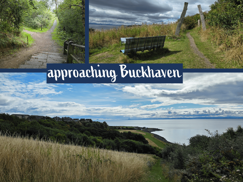
There is another gentle set of stairs and a Y junction, at which there was a quite old Coastal Path sign pointing towards the left. This would have been where my instincts would have gotten me wrong, as I probably would have gone right, which maybe headed down towards the coastline a bit more, whereas the path to the left just carried on through the hedgerows at the same level. To my delight there were several viewpoints with benches and information about the fishing history of Buckhaven; here I also noted a post carved with apple signs, confirming my belief that the trees were intentional. Several varieties were obvious now, some lovely and red and other small and green crabapples or similar.
I passed several enticing viewpoints and large grassy areas on the other side of the trees, but determined to keep moving, and eventually approached a corrugated metal fence that was painted with signs for Buckhaven and Kirkcaldy, behind us.
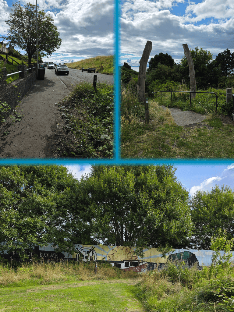
Beyond the fence is a short stretch in a residential area, then a jaunt off to the right to pass between wooden pillars and down a flight of stairs.
I felt I should observe here that wandering out in the hedgerows and woods I have been very careful about checking for ticks, especially after my bite while near Boarhills, and I may have had one on my shirt but brushed it off before I could identify it as tick or beetle. It has been so dry recently, which is apparently bad for the tick population but good for those they torment, but then we had more rain in the previous few days, and who knows how fast they recover?
At the bottom of the steps the path goes along to the left, and ahead I could see a gate into what appeared to be a lot of caravan park – this turned out to be fishing shanties.
The wooden pillars continue to feature along the foreshore, with a well-kept gravel path parallel to the waterfront. The overcast on the far shore meant that I did not really bother to take any more pictures in the Edinburgh direction, and I was able to make quick work of this part of the path. I only paused once to capture the view at a point where a flight of concrete steps led up and over the wall and down the beach on the far side.
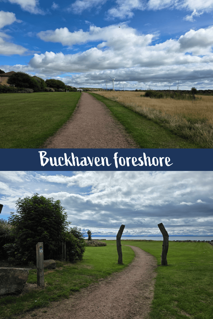
Even behind me, the dark clouds were closing in over the village, and only ahead where the wind turbine sat was still fair.
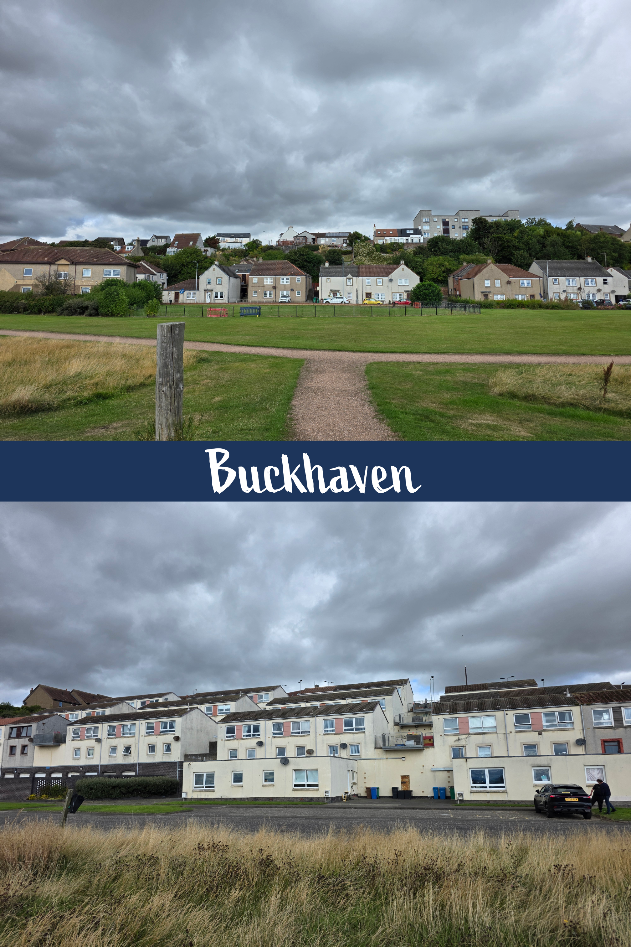
What once might have been a nice fishing village as you see elsewhere in Fife has been torn down and replaced with layers of council flats and houses which are set in a step-like pattern up the hill. They are not in the greatest shape, and remind me a bit of some estates you see in London.
There are several more sets of curved wooden pillars, and while one indicates a path up a grassy hill, the Coastal Path cuts up the hill along the Lady Wynd. From this point on, the path was essentially walking along a main road, through a built-up town, rather than out in fields or forest.
The Lady Wynd quickly ends at Rising Sun Road, where one turns right and continues to climb up away from the coast. The road curves around Buckhaven Primary School and soon joins Wellesley Road, one of the main routes through Buckhaven.
And this is where it stays for quite some time. There are shops including a number of small bakeries that would doubtless provide excellent square sausage on a roll.
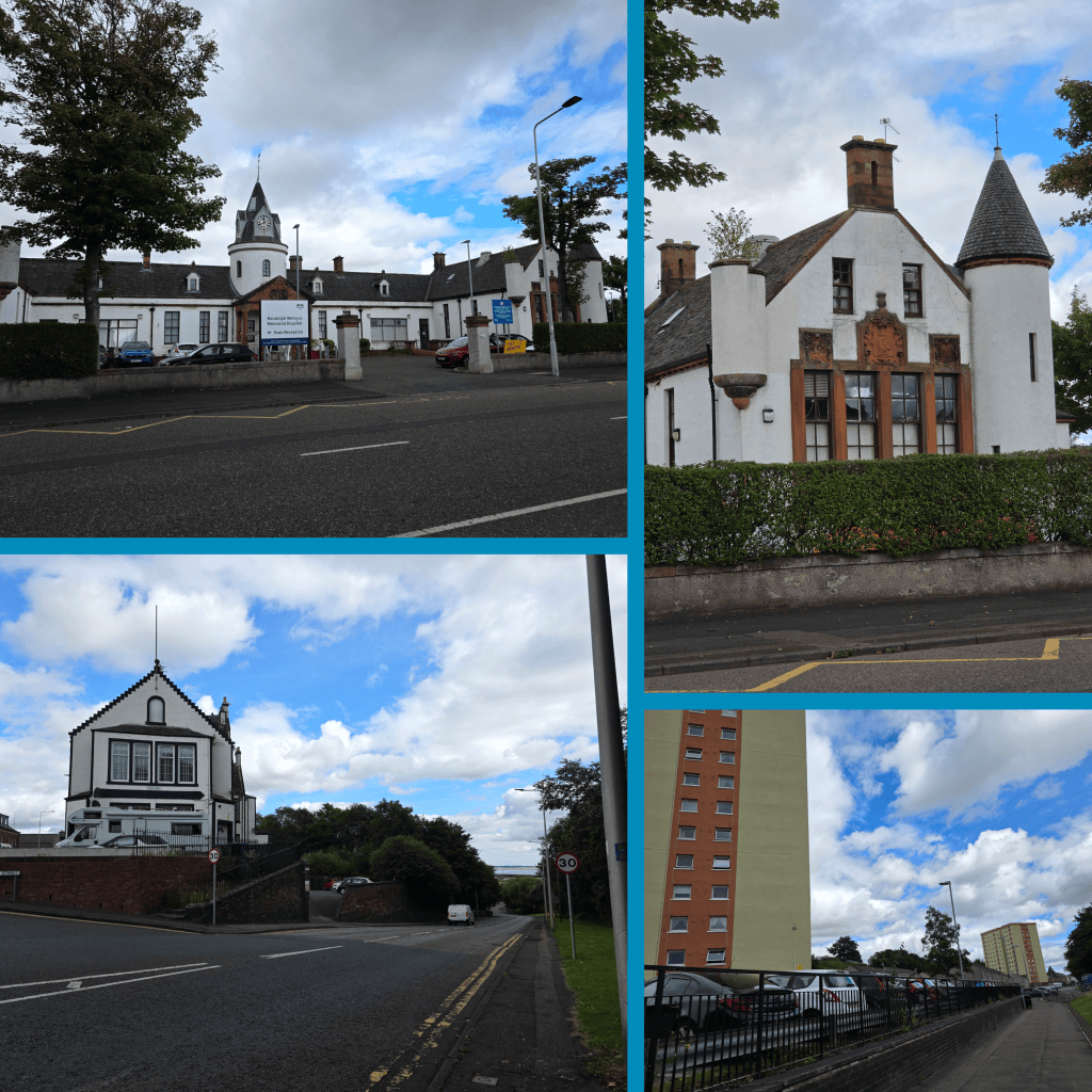
If the idea of the Fife Coastal Path is to show walkers all parts of Fife, then this is certainly a different but no less authentic area. Fife is far more than just the East Neuk and St Andrews, with expensive well-kept homes and gardens; it is also towns like Buckhaven, Methil, Glenrothes and parts of Kirkcaldy, where education and well-paying jobs are to easy to come by.
Just over half a mile along, there is a large intersection with a road heading down to the right – this is the correct route, though as I learned at the bottom it would have been better to cross the road earlier up. Once closer to ocean level, there is a roundabout that the trail passes the edge of then heads straight along into Methil. There were several large tower blocks that seemed quite new, and the neighbourhood here included a number of council houses that included tended gardens and plenty more hydrangea (one of the only flowers still blooming).
After having had company the previous weekend on the Kilt Walk, it was quite different here to be on my own and without music but also without an interesting view. At the edge of Lower Methil I was deceived into thinking I might be taking a right-hand turn toward the water, but no – the High Street was my route.
Lower Methil High Street clearly once was quite active but most shops were now closed, except for a very standard local pub, one art shop, and a few others. I am always curious about housing complexes like I noted here, which curve back away from the street in a terraced block that seems potentially Victorian or early 20th century. They seem like they must have some interesting features, but I have never been inside one.
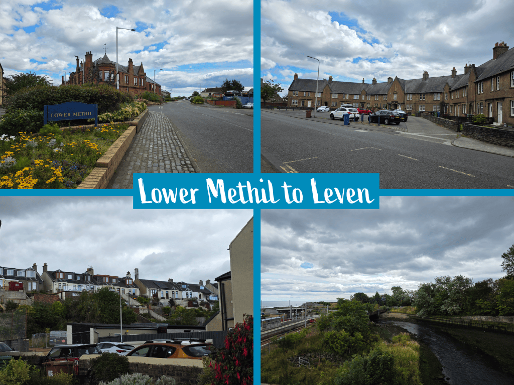
From that large round-about to the other end of Lower Methil is about 3/4 of a mile, though it felt longer at the time. I noted as I walked that there were two roads parallel to the one I was on – a much newer route on the other side of houses to my right, which is South Street. There is also a line of villas up the hill to the left, which must be a continuation of Wellesley Road – I noted the steep gardens leading from the back of these houses down the hill towards High Street, just visible in the bottom left picture above.
I was relieved to eventually see the road curve to the right, to meet the larger main road that was clearly running parallel to the High Street. The dark cloud that had been sitting over Buckhaven was getting closer, and I was starting to question if I would make it to Leven dry. Fortunately, once I joined that main road it was only a short distance to two more roundabouts. The first, smaller roundabout was crossed easily, and then the road led up to a much larger roundabout with a petrol station and more than the standard four entrances/exits.
Fortunately there was also a pedestrian crossing, allowing for safe access to the bridge beyond. The bridge crosses the River Leven, and immediately on the other side is an industrial park with a large Sainsbury’s, McDonalds, and more as well as the Leven Leisure Centre to the right. Tucked away almost under the bridge is also Leven Rail Station, which is almost unnoticeable. Its location both in the centre of town but also hidden is likely due to its newness – the Levenmouth Rail Link was re-opened in 2024 after a closure in 2001, and trains now run from Leven to Edinburgh stopping at all the small towns that the Dundee to Edinburgh trains skip.
Right across from the bridge almost immediately ahead is the bus station, where my walk for the day ended. Leven Bus Station offers a clean restroom and relatively frequent service to St Andrews – I had only 20 minutes to wait and then a weaving winding trip back across Fife.
While this walk was not as picturesque as some, it did include a castle ruin and some fascinating caves, and it’s done.
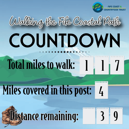
I’m almost finished with the ‘easy’ routes, and will have to become a lot more creative in my planning to manage the sections beyond the bridge and along the top edge of Fife. But I’ll get it done! Hopefully this year…


