
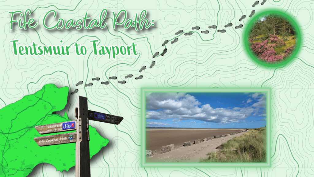
After weeks and months of planning, my autumn travel schedule was about to start with a vengeance, and so I was determined to use my last bit of time off before I left to manage one last walk. It was a sunny day and very windy, and the other half agreed to drop me off at Tentsmuir for the walk to Tayport. It was a pleasant day for walking, clear with some fluffy clouds, mild but not warm, and unusually, I was walking in the afternoon rather than early in the morning.
The car park at Tentsmuir has been worked on multiple times in the last few years and now boasts a café, toilets and a play park – the Coastal Path sign is clear, leading away from the cars along a wide forest track.
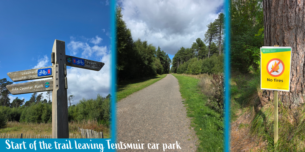
The sign told me that it was 5 miles to Tayport, but I had a sense that meant into the main town, rather than the edge where I had marked the start of the walk from Tayport to Newport. The path leads between the lovely tall pine trees that make Tentsmuir so memorable, and we had observed on the drive that it was lucky that there had not been a massive forest fire here over the very dry summer. There were, in fact, fires but I believe they were dealt with swiftly, and I saw no evidence of them (Tentsmuir is a big place of course), except for yellow warning signs. This part of Fife got off much lighter than the Cairngorms, further north, which burned for days.
I set off at just about 2pm, and hoped I’d reach Tayport in the next two hours or so, allowing me to get a bus home in time for an early dinner. As you will see, this was not quite how it went…
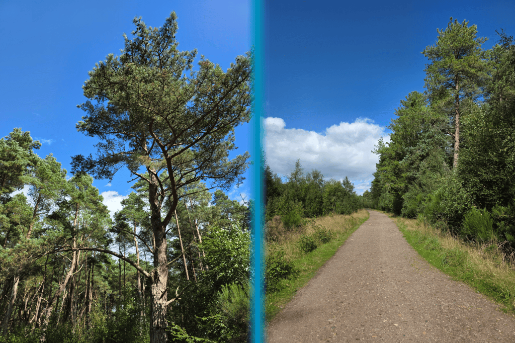
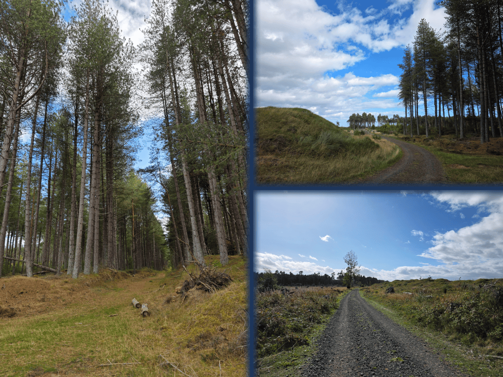
This portion of the walk is primarily away from the coast, walking through forest rather than on the beach. There is a beautiful beach walk parallel and in theory if one is not being obsessive about following the proper route, there is no reason why one could not walk on the beach and enjoy the lovely view. That said, the forest track was sunny and bright, and I was excited to notice hints of purple heather scattered about the tree roots. I absolutely love these pines, with almost red wood that stands out beautifully against the sky all twisting and curving with dark green needles.
Now, one issue to note – I decided to have the other half leave me at the car park rather than at Kinshaldy Stables, as I have technically walked that distance when doing the bypass route early last year – if you were doing the full proper route, the walk between Kinshaldy and the parking lot is about 12 minutes, three quarters of a mile, mostly along the side of the road. There are some fields with horses, but to be honest, there is no reason why you can’t skip ahead a bit if provided with the opportunity.
I did use the time to myself – I saw no one else for quite a few minutes – to try making some videos using tips from online influencers, but I think I really need a mini tripod to make them work. Next time.
There are quite a few fallen trees along the way, their upended roots showing off the sandy soil which I can imagine does not do much to anchor enormous tall trees. Unfortunately, the strong storms we have had relatively frequently since the really big one in 2021 has brought down a number of giants, and with each one down, there are fewer to help protect against wind. I am sure I have mentioned it before, but the view of Tentsmuir from Tayport changed immensely during Covid and the storms of that time.
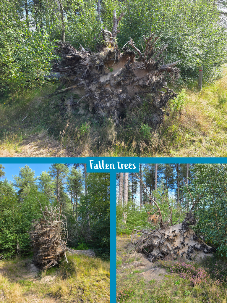
There was a huge swath of trees lost and unfortunately with the upcoming Super El Niño, it seems we may be in for more rough weather, to put it in the mild British way.
I did a lot of recording at this point in my walk, partly because it was not hugely exciting or full of variety. If doing with someone else, or perhaps a pet, I could see a lot of appeal, but doing it on my own isn’t as exciting.
After ten minutes or so, there is a set of picnic tables and the turn-off for Tentsmuir point, where seals are frequently seen.
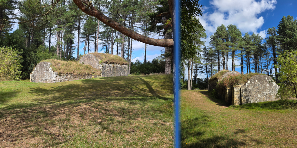
Also at this spot is the remnant of the mid-nineteenth-century ice house, where ice from nearby lakes was used to keep fish fresh – particularly salmon.
I was tempted to explore beyond the ice house, but decided instead to add it to my increasingly long list of things to re-explore. I’ve been hearing about the seals here for more than 20 years…some day I’ll get there.
Beyond the ice house, the path narrows slightly and is less of a road and more a path, on which an ATV or bikes can travel. The path was getting closer to the beach, as there is more open space between the trees with blue in the distance, so I reasoned that there must be only a few trees between the trail and the dunes.
After the previous walk during which I felt really good, this weekend I struggled a bit, feeling more tired and just not really up for the walk. Which, obviously, would not hold me back.
Some of my peace and consideration of my state of exhaustion was shattered by a cyclist who came speeding up almost silently behind me and sped past quite close, without using his bell. I have no objection to cyclists of course, but if you are passing a walker, particularly on a narrow trail, use your bell! If I had moved or stumbled slightly, he would have hit me dead on and I didn’t even realise he was there.
I was in the midst of considering whether my lethargy might be due to walking in the afternoon rather than morning, or my recent lunch being the wrong fuel, or to there being less variation in the view on this walk. I was just traipsing along on a route that is lovely, though I could see why one might choose to cycle rather than walk. I passed quite a few cyclists, though none of them scared me as the first one did – rather they were polite, considerate, friendly.
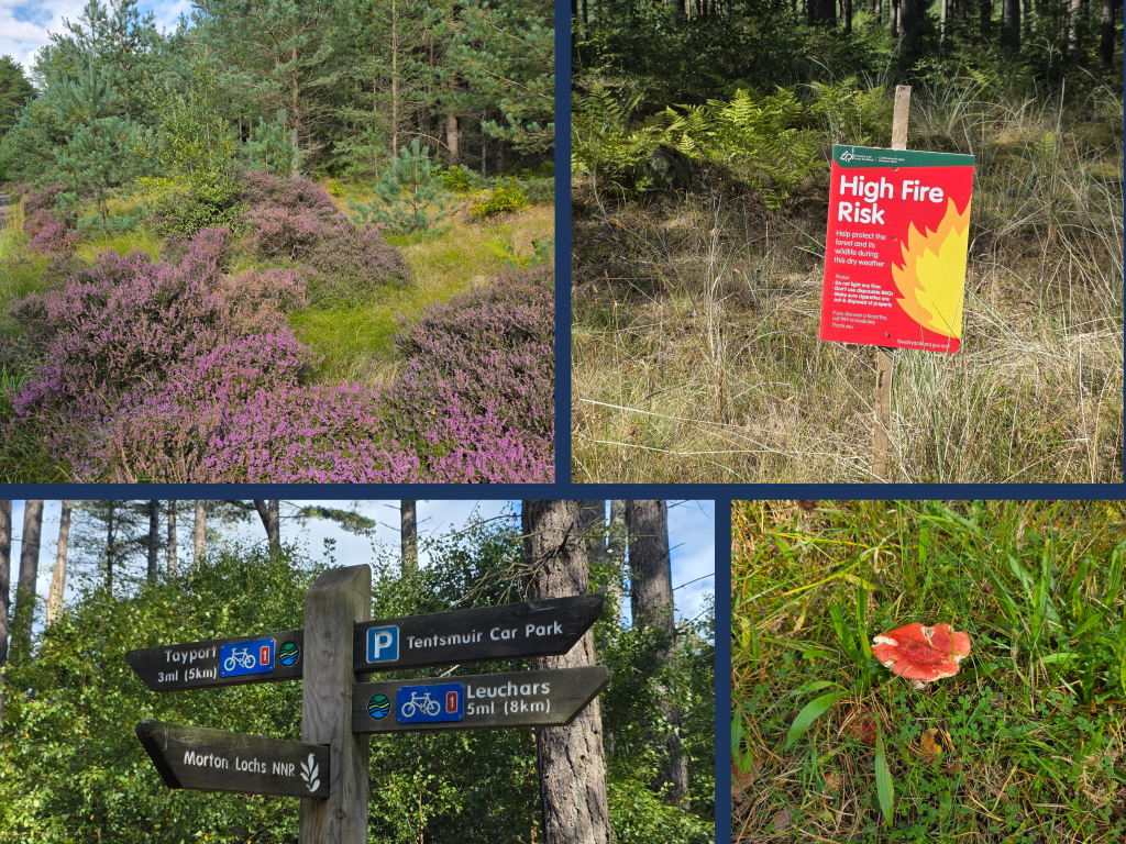
About two miles in, I passed the turn-off to Morton Lochs, a wildlife refuge which we had visited during my Covid birthday for a day out. There was another fire sign here, and I wanted to mention that I saw a few really interesting-coloured mushrooms along the path too. Not those I would consider eating of course, but nice to look at.
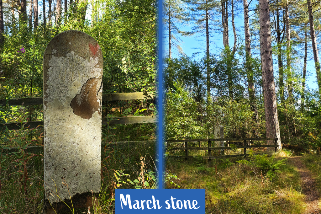
I stopped briefly also to examine the March Stone, which is fenced off a short distance off the trail. This stone was erected in 1794 to mark the border of fishing grounds, with Shanwell on one side and Old Muirs on the other.
I would have paused here a bit longer, but it was around this time that I found myself extremely bothered by flies, who were landing on me every time I stopped. They did not seem to be biting – or I did not let them stay long enough to bite – but they were incredibly annoying, almost swarming the minute I slowed down, and despite the strong breeze.
Shortly beyond the March stone, the tall pine forest came to an end, replaced by slightly shorter trees, a difference of 10 to 20 feet in height I would estimate, if not more. After about five minutes, the path began to curve toward the beach and I was delighted to see open sky ahead.
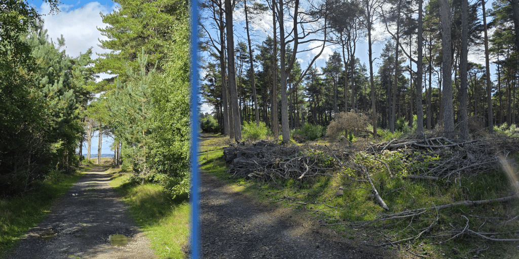
Upon emerging from the treeline, one cannot help to notice how severe the damage is to the trees. They are sparse, spindly, and there is a fence blocking walkers from tearing over the dunes, a move of preservation.
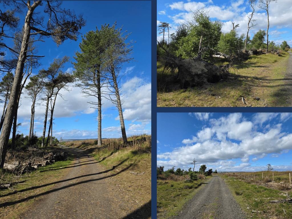
It was actually a quite bleak and depressing landscape, with chunks of wood – almost like a tree had been fed through a shredder – all over and small remnants of trees that have been blown down. It is quite clear that there was once forest here, and there are a few hardy stand-alone stalwarts out in the middle of nowhere.
I realised that this was the desolate edge of Tentsmuir that is visible from Tayport, where storms had torn through and across the point. I hesitate to use the term ‘post-apocalyptic’ lightly, but it is not completely un-called for here.
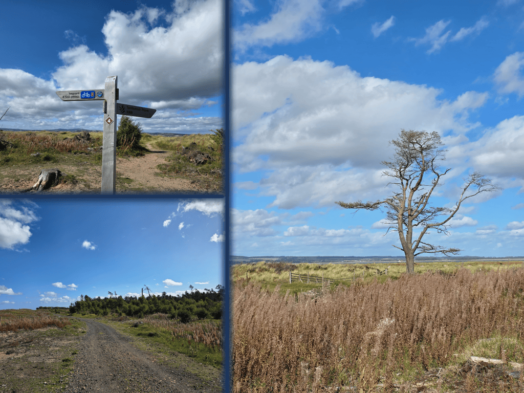
I saw one rabbit and a few small birds fighting against the wind, but almost nothing else. Except the flies.
Due to the increasingly depressing nature of the surroundings, I took advantage of the first detour off the path, leading across the dunes. Tentsmuir Nature Reserve is very carefully marked off with a fence, even all the way across the beach to the water, keeping the area separate and preventing stray dogs from bothering the seals.
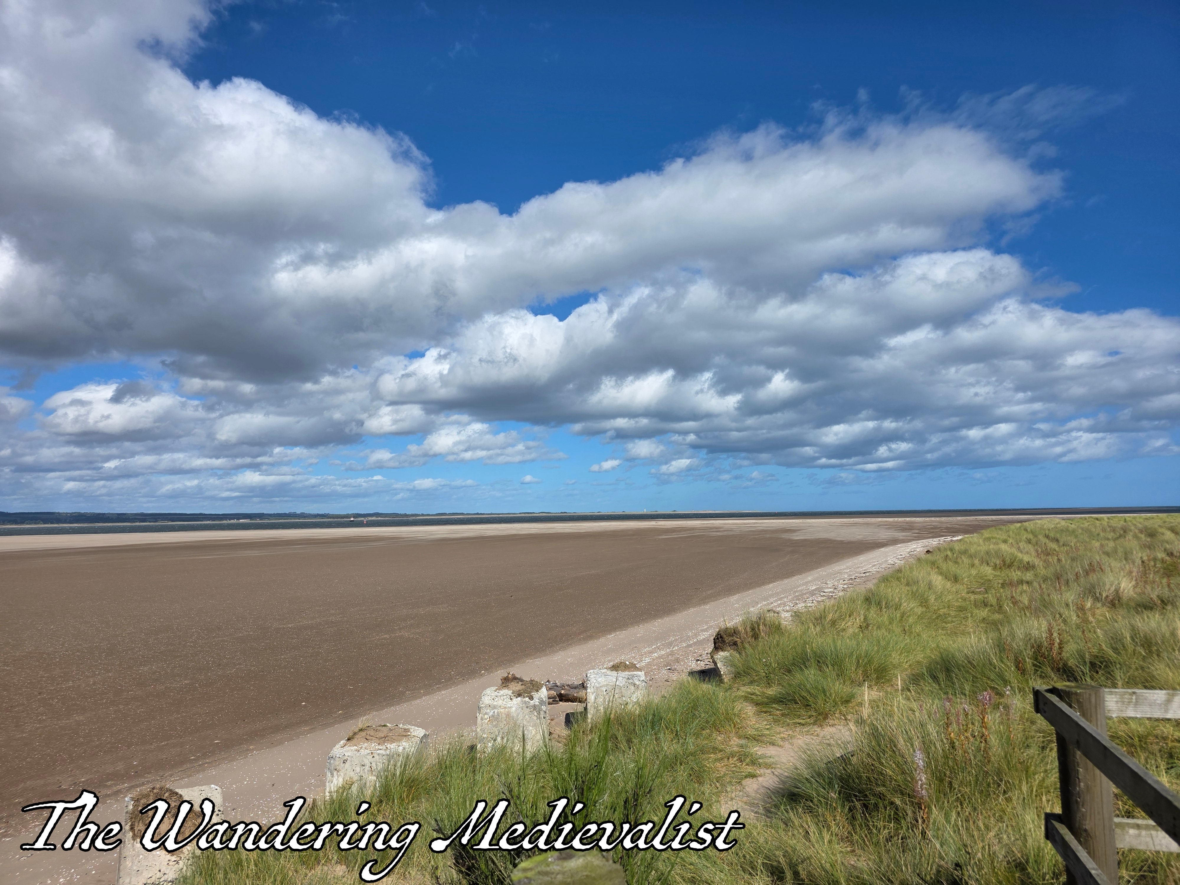
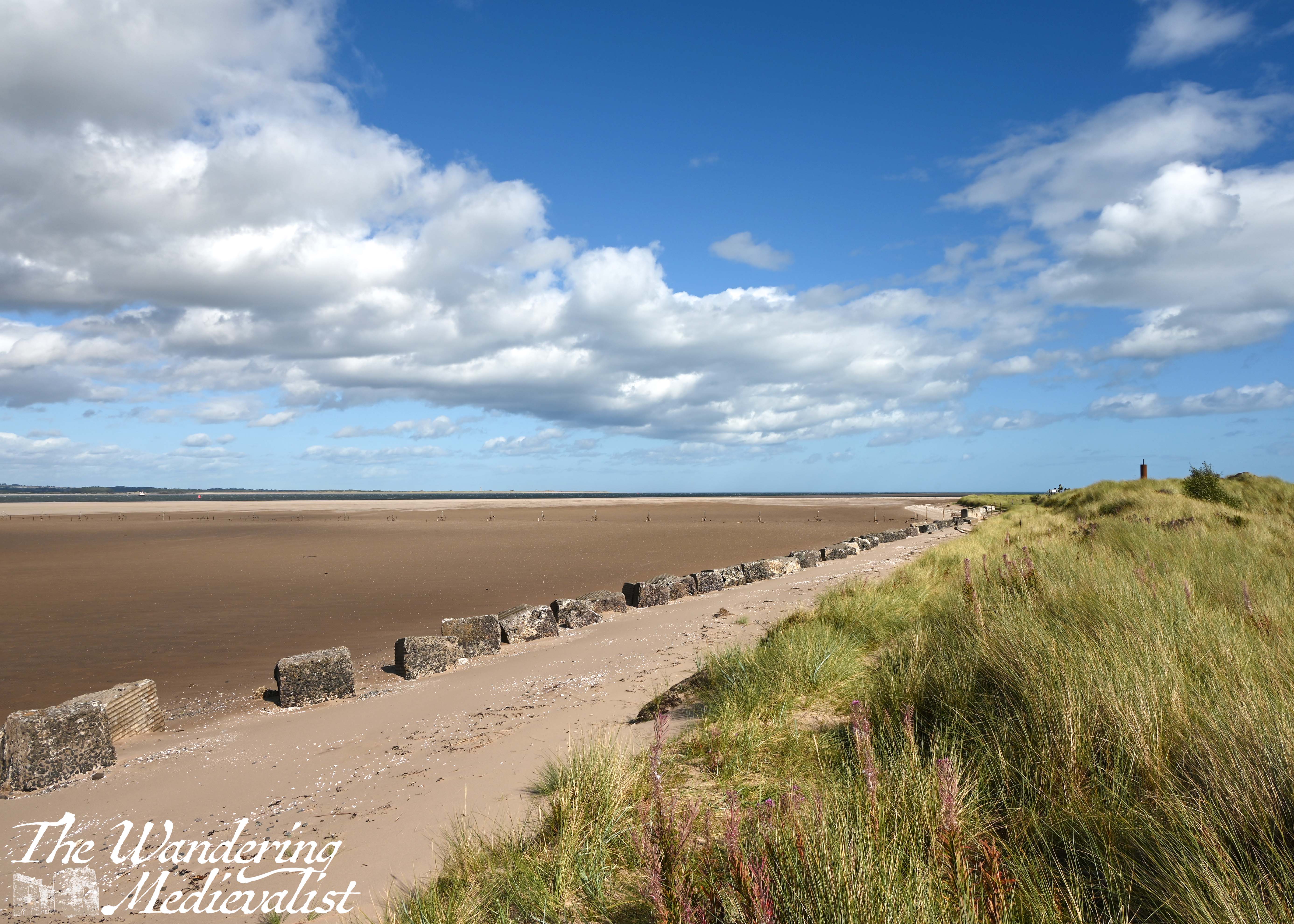
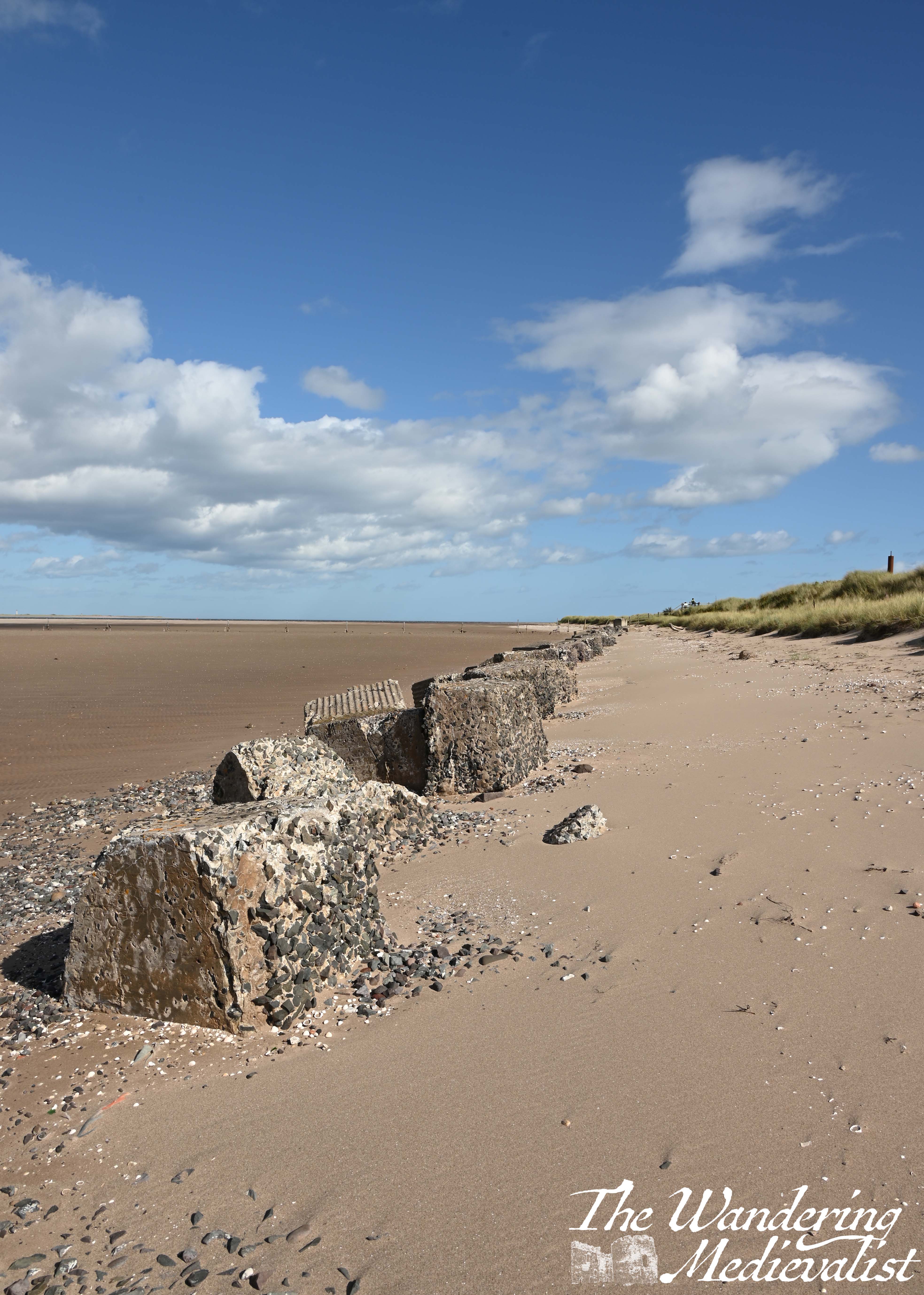
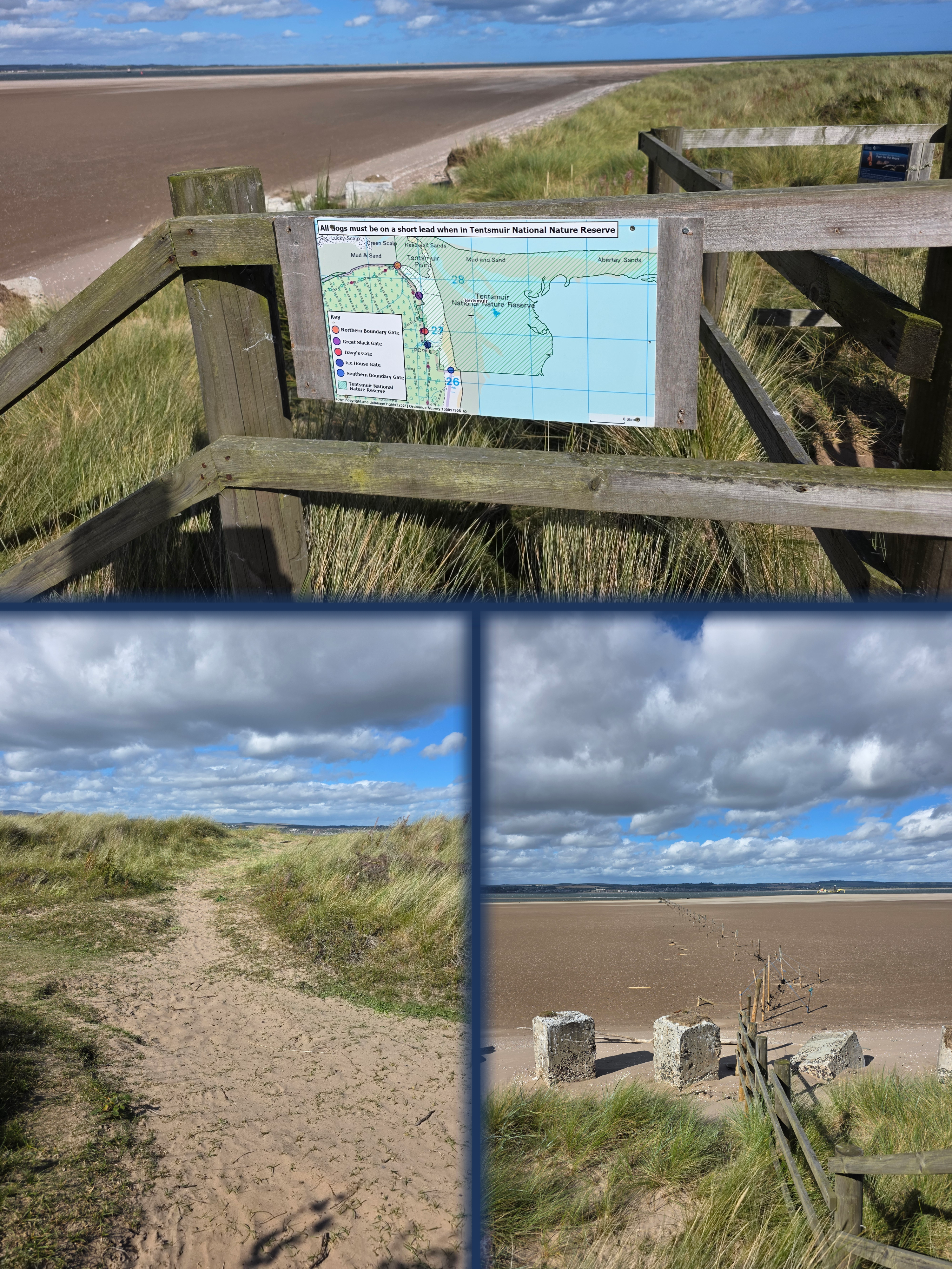
The tide, as you can see, was far out and the wind was whipping dry sand across the wet; white caps covered in the Firth of Tay, which is not entirely unusual, and I scampered down the dune to wind through the blocks of concrete left over since World War II. It was interesting to note that many of them were starting to properly crumble, eroding more than those closer to Tayport – I imagine that they face harsher waves and stormier seas.
After my detour, on I trudged across the open land, fighting strong winds as I headed towards the treeline. Most of this walk is annoyingly just out of sight of the beach, the trail staying just on the inside of the dunes, which at this point were giant grassy lumps – not quite as photogenic as the longer sea grasses.
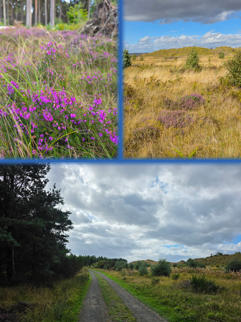
In the occasional gaps in the hills, I could see across the Firth to what I imagined was Monifieth, and as I walked I considered how easily it would have been at one point to consider the woods haunted. Especially in the wind, the trees grind and creak together and the whistling through the branches can be quite otherworldly.
This portion of the trail is relatively uninspiring, and I would think it might be a much nicer option to walk on the beach, as long as the tide is out. At high tide I’m not sure how much harder sand is present, and the soft sand is quite deep and challenging to walk through.
The other half and I did this walk one day walking out from Tayport and back, and I was tempted to head out to see the view from the other side of the dunes; there are a few places where paths cut across the grass. Instead, I enjoyed the occasional clumps of heather and wind-blown trees.
The closer I got to Tayport, the darker the sky was becoming, with larger clouds closing in and perhaps even threatening rain. I wasn’t particularly bothered about getting rained on but obviously didn’t really look forward to it.
Eventually I reached the open area with a few picnic benches and another sign leading off towards Morton Lochs in one direction, and Tayport in another. There is also a large green sign welcoming walkers to Tentsmuir reserve, and while the sign says 1 mile to Tayport, I know that it was not a full mile to the Foodmek where I planned to mark the end of my walk. I took a short break here to take a look at bus times, and this was my first sign that things may not be as simple as I hoped; there did not appear to be any busses going from Tayport to St Andrews, as there should be.
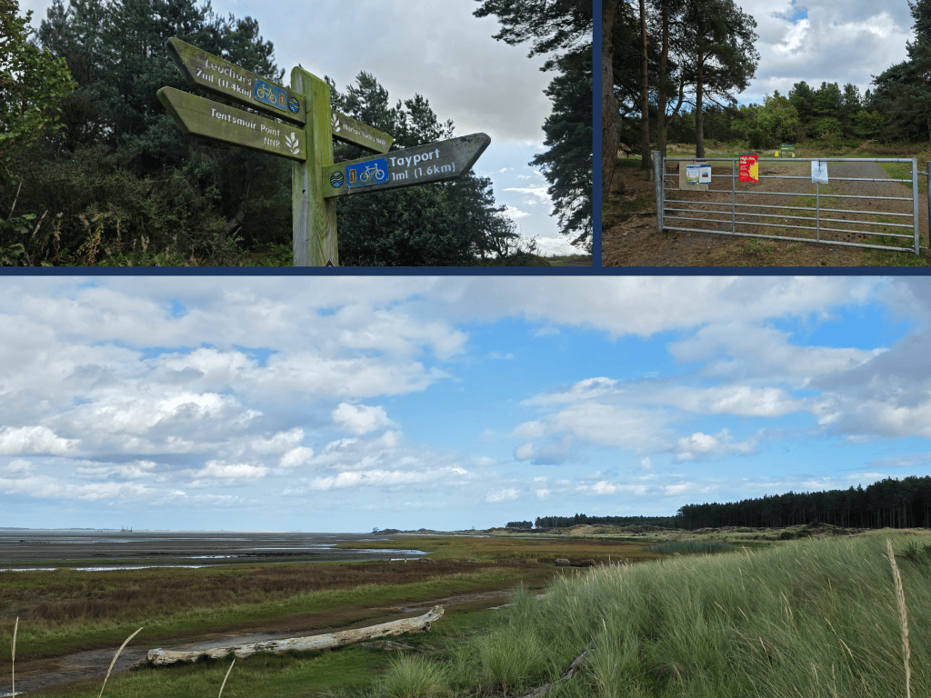
The metal gate here separating Tentsmuir from the farm track beyond – and the view above – was covered in signs about fire awareness and other events taking place, as well as keeping your dog on a lead. I could see and hear planes coming in to land at Dundee airport – some quite low – and Broughty Ferry Castle a light smudge on the far shore. There is a World War II bunker here, and of course more concrete blocks, that shadow the trail as it approaches Tayport.
Beyond the fence, the path runs along the marshy area separating the trail from the distant beach. Large brackish pools stand amongst the grass, and I have definitely seen dogs enjoying a romp in these and emerging covered in black mud.
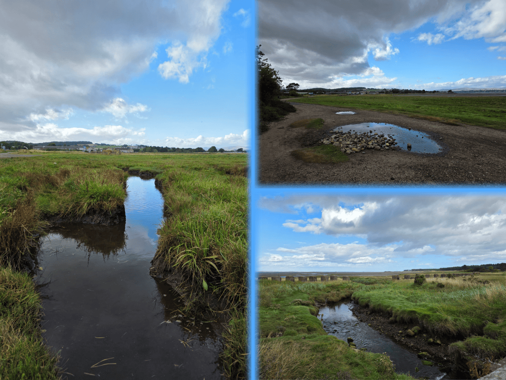
As I trudged along this last half mile or so, the clouds opened briefly to spit some rain at me, but nothing serious enough to worry about. Ahead of me was the familiar skyline of Tayport with Scotscraig Estate rising behind the houses in a wooded hill. I recalled how much I really enjoyed living in Tayport – neighbours notwithstanding – and the memories of days where these walks were what kept us level during the early days of the pandemic.
Frustratingly, as I arrived at the Foodmek, I just missed a bus that went to St Andrews, and I learned that for whatever reason, the Stagecoach busses were only going to Dundee. So, I gave up my idea of getting home at a decent hour, and continued my trudging further into the town where I could pick up a bus to Dundee and there transfer to the 99 back to St Andrews. The lack of public transport in Tayport was evident as the bus wound through town and was standing room only by the time we sped along the road towards the bridge. And indeed, that highlights one of the biggest difficulties with Tayport – the bus access, which is patchy particularly if one is used to the comparatively dependable St Andrews to Dundee route.
Autumn travel has closed in and I’ll struggle to get anthoer walk done before November, but I’m determined to find a way to get the last few sections of this walk done. All will be challenging to reach, a few with in-depth planning required. But I’ll do it!
This walk is definitely one I’d do again only on the beach or with someone else; a beach walk from Tayport is more appealing despite the appealing forest and purple heather.

 The Wandering Medievalist